
California 14 South - Rosamond to California 138
| California 14 - Antelope Valley Freeway south | |
|---|---|
 |
A California 14 south reassurance shield is posted shortly after the on-ramp from Avenue A. Photo taken 07/19/09. |
 |
For the remaining 49 miles of California 14, along with Interstate 5 south to the Interstate 210 interchange, frequently has gusting, high wind advisories. Watch for local weather prior to driving, especially in winter during storm events or in summer during Santa Ana winds. Photo taken 07/19/09. |
 |
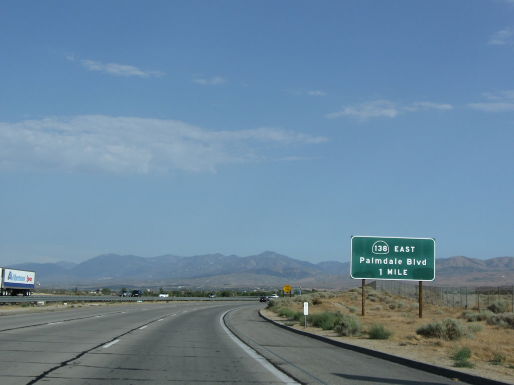
The next exit along California 14 south is Exit 49, California 138/Avenue D (one mile). California 138 travels west from this interchange along the once-proposed Metropolitan Bypass freeway, which would have connected California 14 north of Lancaster with Interstate 5 near Gorman. Photo taken 07/19/09. |
 |
In addition to traveling west along Avenue D toward Gorman, California 138 joins the California 14 freeway south toward Lancaster and Palmdale. The routes will diverge at the southern end of the Antelope Valley. Photo taken 07/19/09. |
 |
Southbound California 14 meets Exit 49, California 138/Avenue D west to Gorman. Photo taken 07/19/09. |
| California 14 south and California 138 east | |
|---|---|
 |
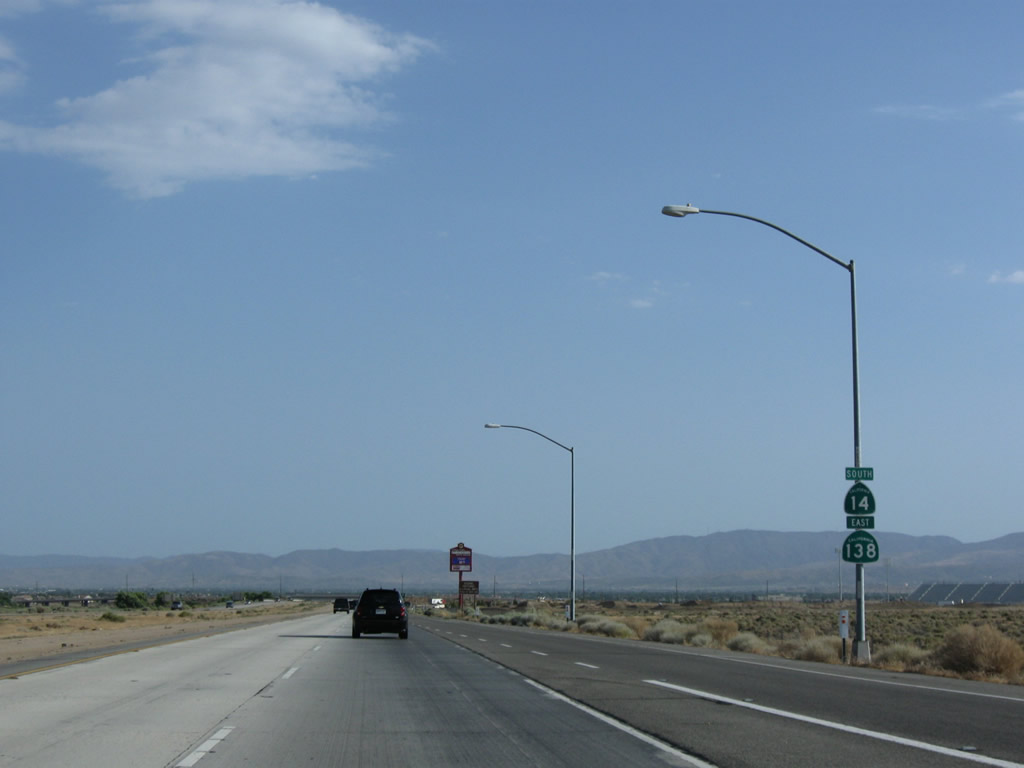
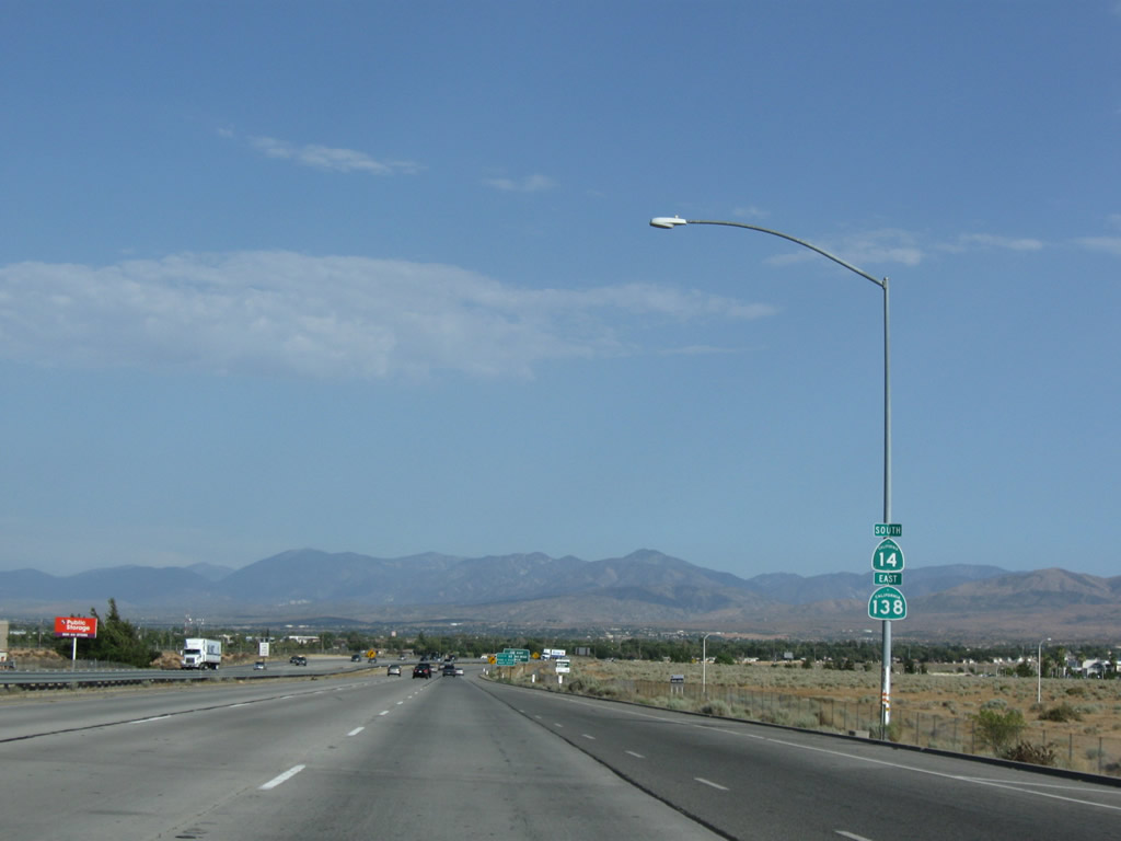
A California 14 south and California 138 east reassurance shield assembly is posted shortly after the on-ramp from Avenue D. Most of this freeway through Palmdale and Lancaster opened in stages between 1964 through 1974. Photo taken 07/19/09. |
 |
California 14 is known as the Antelope Valley Freeway within Los Angeles County. Photo taken 07/19/09. |
 |
Passing under the Avenue E overpass, the next exit along California 14 south and California 138 east is Exit 47, Avenue F (three-quarters of a mile). Photo taken 07/19/09. |
 |
A roadside exit number sign is posted next along California 14 south prior to Exit 47, Avenue F. Use Avenue F east to Sierra Highway (old U.S. 6). Photo taken 07/19/09. |
 |
Southbound California 14 and eastbound California 138 reaches Exit 47, Avenue F. Photo taken 07/19/09. |
 |
Passing under the Avenue F overpass, the next exit along California 14 south and California 138 east is Exit 46, Avenue G (three-quarters of a mile). Photo taken 07/19/09. |
 |
A California 14 south and California 138 east reassurance shield assembly is posted shortly after the on-ramp from Avenue F. Photo taken 07/19/09. |
 |
The next seven exits along California 14 south and California 138 east serve the city of Lancaster incorporated in 1977 and home to 118,718 people as of the 2000 Census. Like the nearby city of Palmdale, Lancaster experienced explosive growth during the 1970s and 1980s. Photo taken 07/19/09. |
 |
Use Avenue F west to Apollo Community Regional Park. Constructed between 1969-1972 and dedicated in 1972, the park features three fishing lakes and open space areas. Photo taken 07/19/09. |
 |
Southbound California 14 and eastbound California 138 reaches Exit 46, Avenue G. Photo taken 07/19/09. |
 |
Passing under the Avenue G overpass, the next exit along California 14 south and California 138 east is Exit 45, Avenue H (three-quarters of a mile). Photo taken 07/19/09. |
 |
A California 14 south and California 138 east reassurance shield assembly is posted shortly after the on-ramp from Avenue G. Photo taken 07/19/09. |
 |
Avenue H serves the city of Lancaster. For the first time since leaving Rosamond, California 14 sees the beginning of extensive residential development. Housing grew throughout the Antelope Valley, converting desert into housing in short order. Photo taken 07/19/09. |
 |
Use Avenue H to the Antelope Valley Fairgrounds. Photo taken 07/19/09. |
 |
Southbound California 14 and eastbound California 138 reaches Exit 45, Avenue H. Photo taken 07/19/09. |
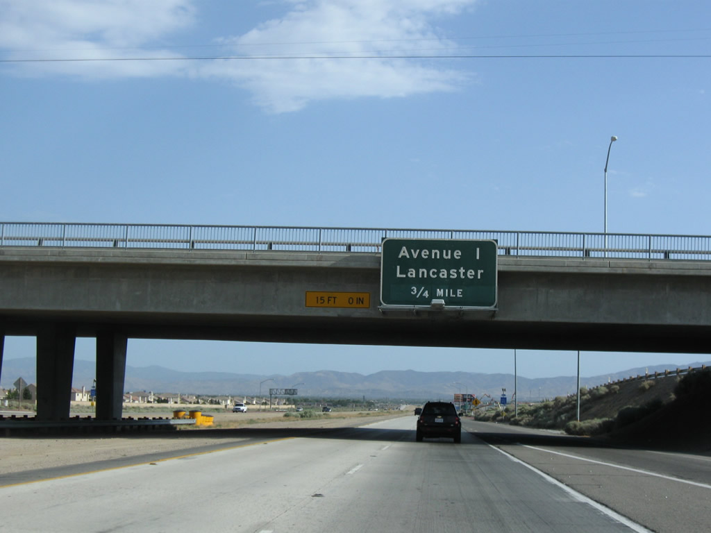 |
Passing under the Avenue H overpass, the next exit along California 14 south and California 138 east is Exit 44, Avenue I (three-quarters of a mile). Photo taken 07/19/09. |
 |
A California 14 south and California 138 east reassurance shield assembly is posted shortly after the on-ramp from Avenue H. Use Avenue I to the Metrolink, which offers commuter service into Los Angeles. This is a much better choice than driving into the city via California 14 due to traffic delays, especially near the Newhall Pass area. Photo taken 07/19/09. |
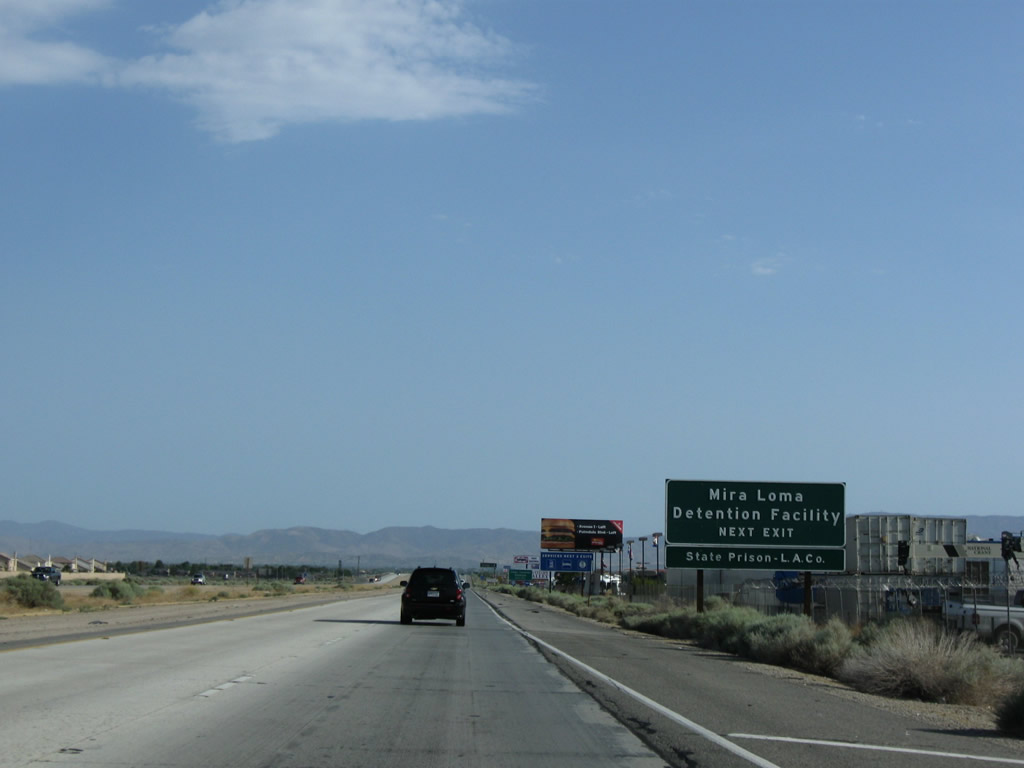 |
Use Avenue I to the Mira Loma Detention Facility and State Prison of Los Angeles. Photo taken 07/19/09. |
 |
Southbound California 14 and eastbound California 138 reaches Exit 44, Avenue I. Photo taken 07/19/09. |
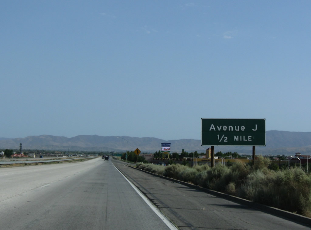 |
The next exit along California 14 south and California 138 east is Exit 43, Avenue J (one-half mile). Photo taken 07/19/09. |
 |
Use Avenue J to Lancaster and Historic Sierra Highway (old U.S. 6). A third southbound lane joins the freeway between Avenue I and Avenue J. Photo taken 07/19/09. |
 |
Southbound California 14 and eastbound California 138 reaches Exit 45, Avenue J. Photo taken 07/19/09. |
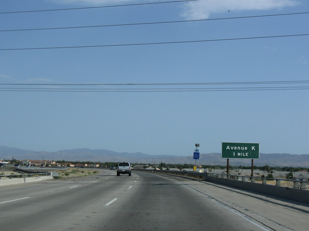 |
The next exit along California 14 south and California 138 east is Exit 42, Avenue K (one mile). Photo taken 07/19/09. |
 |
Southbound California 14-138 approaches Exit 42, Avenue K. Photo taken 07/19/09. |
 |
A California 14 south and California 138 east reassurance shield assembly is posted shortly after the on-ramp from Avenue J. Photo taken 07/19/09. |
 |
Use Exit 42/Avenue K to a Mojave Desert Visitor Information Center. Photo taken 07/19/09. |
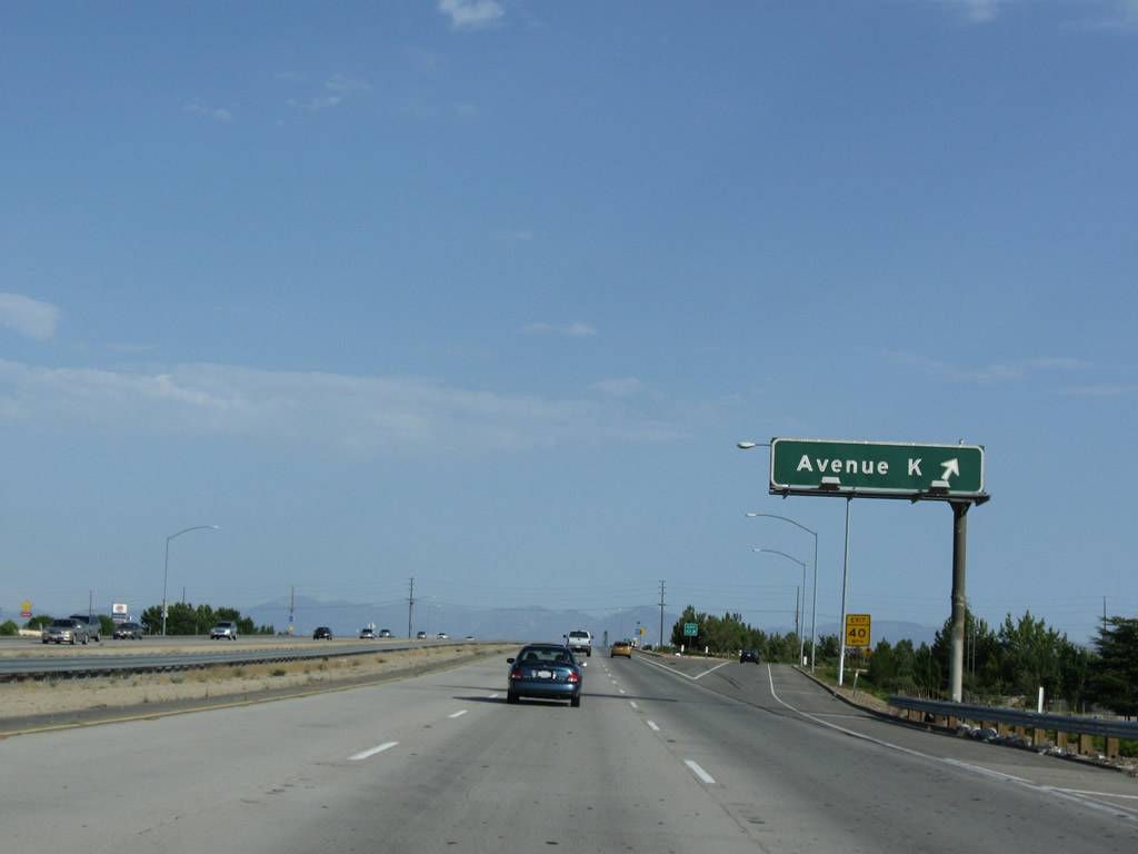 |
Southbound California 14 and eastbound California 138 reaches Exit 42, Avenue K. Photo taken 07/19/09. |
 |
The next exit along California 14 south and California 138 east is Exit 41, Avenue L (0.75 mile). Photo taken 07/19/09. |
 |
A California 14 south and California 138 east reassurance shield assembly is posted shortly after the on-ramp from Avenue K. Photo taken 07/19/09. |
 |
A second advance sign for Exit 41 to Avenue L is posted shortly thereafter. Photo taken 07/19/09. |
 |
Southbound California 14 and eastbound California 138 reaches Exit 41, Avenue L. Photo taken 07/19/09. |
 |
Passing under the Avenue L bridge, the next exit along California 14 south and California 138 east is Exit 40, Avenue M and Columbia Way (0.75 mile). Photo taken 07/19/09. |
 |
A second advance sign for Exit 40 to Avenue M and Columbia Way is posted shortly thereafter. This is the last exit to serve the city of Lancaster and the first to serve the city of Palmdale. The freeway heads due south through the Antelope Valley, generally below grade, thus obscuring views of the surrounding development. Photo taken 07/19/09. |
 |
The next five exits from California 14 and 138 will serve the city of Palmdale. Photo taken 07/19/09. |
 |
Southbound California 14 and eastbound California 138 reach Exit 40, Avenue M and Columbia Way to Palmdale. Photo taken 07/19/09. |
 |
Palmdale incorporated on August 24, 1962, and had a population of 116,670 as of the 2000 Census. Photo taken 07/19/09. |
 |
Passing under the Avenue M bridge, the next exit along California 14 south and California 138 east is Exit 39, Avenue N (0.75 mile). Photo taken 07/19/09. |
 |
A California 14 south and California 138 east reassurance shield assembly is posted shortly after the on-ramp from Avenue M. Photo taken 07/19/09. |
 |
A second advance sign for Exit 40 to Avenue N is posted shortly thereafter. Photo taken 07/19/09. |
 |
Southbound California 14 and eastbound California 138 reach Exit 39, Avenue N in Palmdale. Photo taken 07/19/09. |
 |
A California 14 south and California 138 east reassurance shield assembly is posted shortly after the on-ramp from Avenue N. Photo taken 07/19/09. |
 |
The next exit along California 14 south and California 138 east is Exit 37, 10th Street West, Avenue P, and Rancho Vista Boulevard (0.75 mile). Photo taken 07/19/09. |
 |
California 14 south and California 138 east approaches Exit 37, 10th Street West, Avenue P, and Rancho Vista Boulevard. Photo taken 07/19/09. |
 |
Use Exit 37 to Los Angeles - Palmdale Regional Airport, which is operated by Los Angeles World Airports (agency of the city of Los Angeles). Photo taken 07/19/09. |
 |
Upon exiting from California 14 south and California 138 east, follow 10th Street West south to Avenue P and Rancho Vista Boulevard. The off-ramp to Exit 37 is ahead on the curve, but the guide sign for Exit 37 was missing in summer 2009. Photo taken 07/19/09. |
 |
A California 14 south and California 138 east reassurance shield assembly is posted shortly after the on-ramp from Avenue P and Rancho Vista Parkway. Photo taken 07/19/09. |
 |
At Exit 35, California 14 south and California 138 east will divide. Exit 35 serves Palmdale Boulevard, which carries California 138 east toward Phelan and Interstate 15. To the west, Palmdale Boulevard carries mostly unsigned Los Angeles County N-2 west along the path of the San Andreas Fault. Originally, California 138 used County Route N-2 west to Interstate 5, but it was realigned to its current route with an overlap on California 14. Photo taken 07/19/09. |
 |
A new carpool lane ends at the same time that the general purpose right lane ends. California 14 will continue with this configuration toward Soledad Pass (el. 3,179 feet). Photo taken 07/19/09. |
 |
Southbound California 14 and eastbound California 138 splits at Exit 35, Palmdale Boulevard. Photo taken 07/19/09. |
| California 14 south | |
 |
The next exit along California 14 (Antelope Valley Freeway) is Exit 33, Avenue S (1.25 miles). The freeway begins to gain elevation as we leave the Antelope Valley behind. Photo taken 07/19/09. |
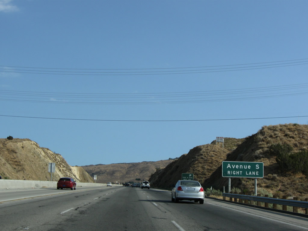 |
Southbound California 14 (Antelope Valley Freeway) approaches Exit 33, Avenue S (next right). The freeway regains its third general purpose lane, offering a climbing lane for trucks as we ascend toward Soledad Pass. Photo taken 07/19/09. |
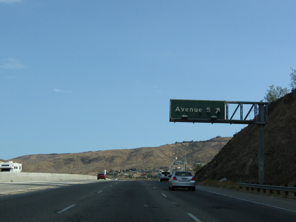 |
Southbound California 14 (Antelope Valley Freeway) reaches Exit 33, Avenue S. Photo taken 07/19/09. |
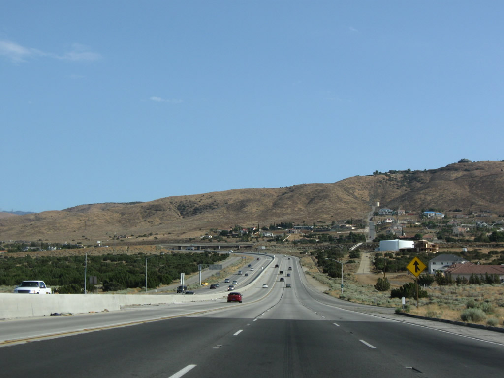 |
This view looks south along the California 14 (Antelope Valley Freeway) after Exit 33, Avenue S. The terrain changes dramatically after crossing the San Andreas Fault; the flat terrain of the Antelope Valley changes into rugged, hilly terrain. Photo taken 07/19/09. |
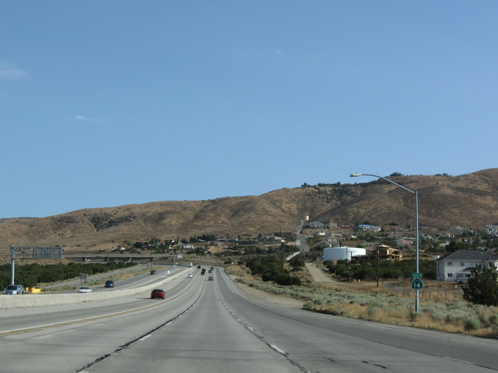 |
A California 14 south reassurance shield is posted after the Avenue S on-ramp. Photo taken 07/19/09. |
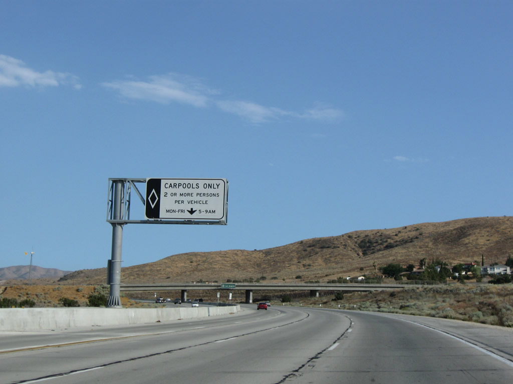 |
The carpool (high occupancy vehicle) lane continues; it is only restricted during morning and evening commute hours during the week. Photo taken 07/19/09. |
 |
A California 14 pull-through sign advises of the control city of Los Angeles. Photo taken 07/19/09. |
 |
A widening project added the carpool lane in the early 2000s. Photo taken 07/19/09. |
 |
The carpool (high occupancy vehicle) lane continues; at this point, traffic to Angeles Forest Highway (Los Angeles County N-3) departs here. Photo taken 07/19/09. |
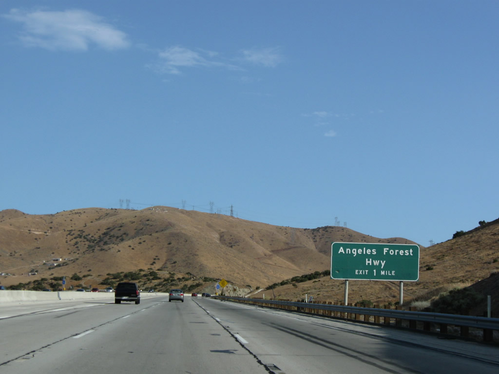 |
Southbound California 14 next approaches Exit 30, Los Angeles County N-3 (Angeles Forest Highway) (one mile). Use Angeles Forest Highway south to California 2 (Angeles Crest Highway), a gorgeous route through Angeles National Forest. Photo taken 07/19/09. |
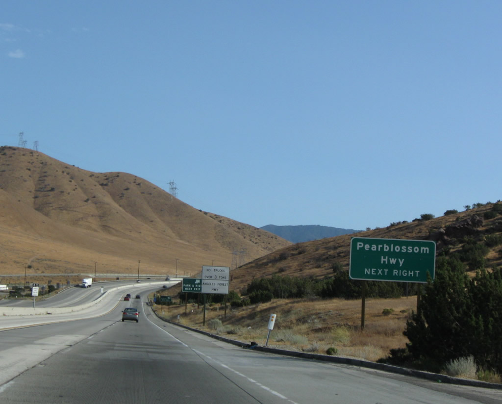 |
Use Exit 30 to Pearblossom Highway east to California 138. A series of Southern California Edison (SCE) and Los Angeles Department of Water and Power (LADWP) 500kV power lines criss-cross this area as the SCE lines converge on the Vincent Substation, which sits southeast of California 14 and west of the Angeles Forest Highway. Photo taken 07/19/09. |
 |
Southbound California 14 meets Exit 30, Los Angeles County N-3 (Angeles Forest Highway) south to California 2. Use Exit 30 to Sierra Highway (old U.S. 6), which closely parallels the freeway. As California 14 turns toward the southwest, Sierra Highway will shift to the north side of the freeway (at Exit 27). Photo taken 07/19/09. |
 |
This mileage sign along California 14 south provides the distance to Santa Clarita (27 miles), San Fernando (35 miles), and Los Angeles (56 miles). At this point, California 14 ascends to Soledad Pass, which sits at an elevation of 3,179 feet. Photo taken 07/19/09. |

Page Updated July 7, 2010.
|
About Contact Glossary |
In The News Testimonials Interstate Guide |
Social Media:
 |
|
© 2000-23 AARoads.com | All Rights Reserved | Privacy Policy / Terms of Use
|
||