

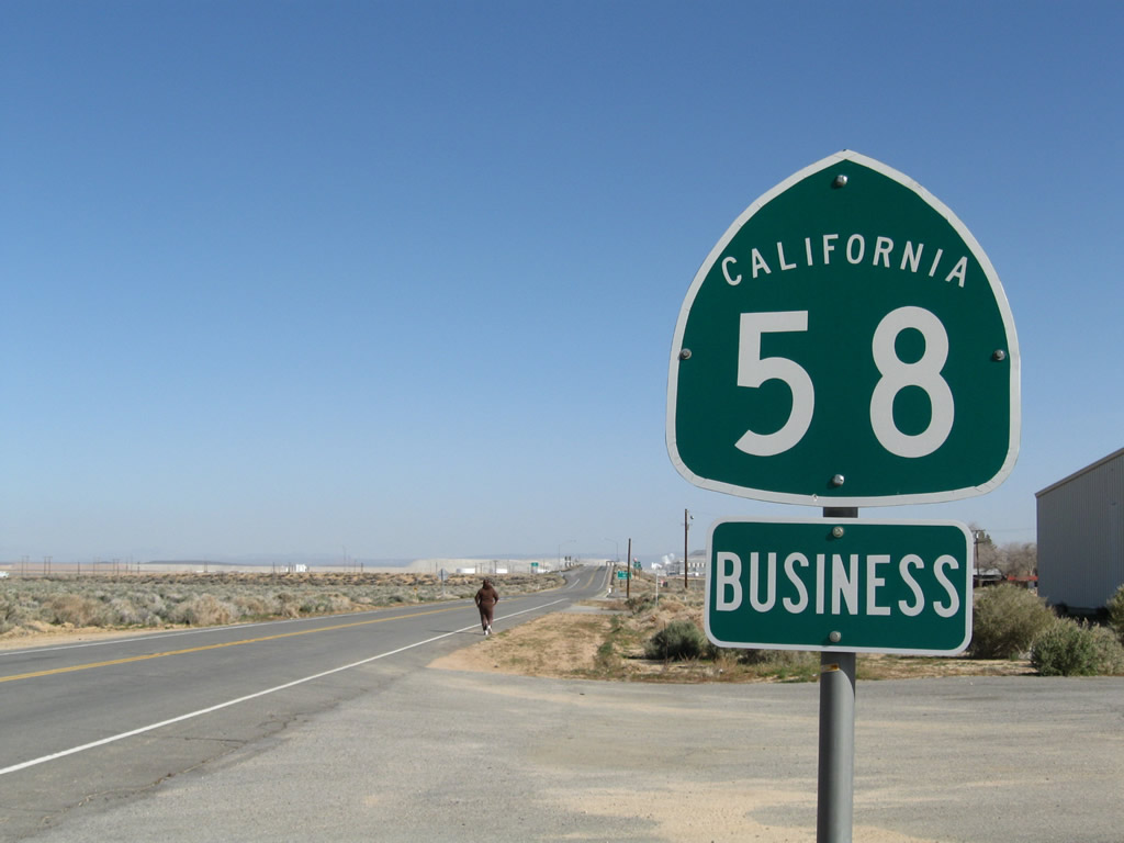
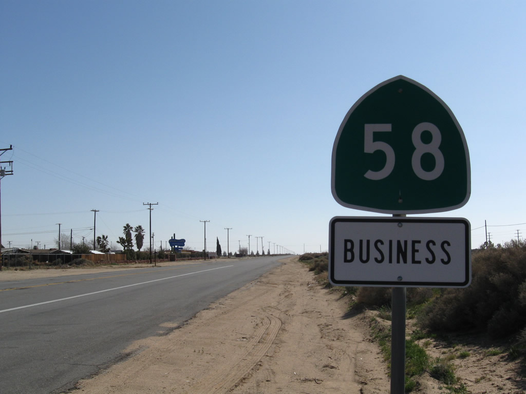
California 58 Business
Four business routes are identified along California 58:
- Bakersfield - Edison Highway (decommissioned; former U.S. 466)
- Tehachapi - Tehachapi Boulevard
- Mojave
- Boron
| California 58 Business (Old U.S. 466) east - Tehachapi | ||
|---|---|---|
 |
 |
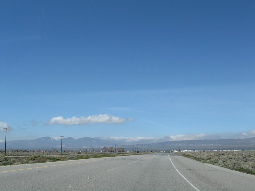
Eastbound California 58 Business (Tehachapi Boulevard) approaches California 58. Photos taken 03/15/09 and 02/15/04. |
 |
 |
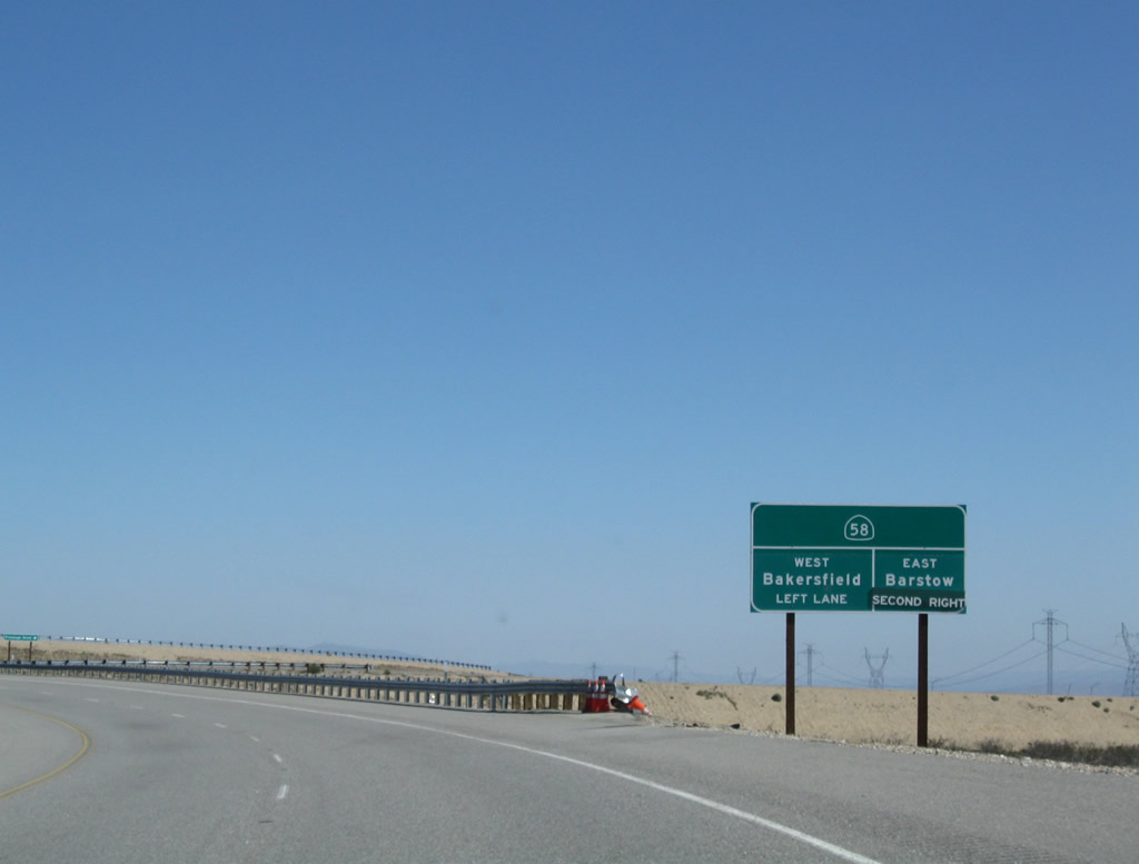
Eastbound California 58 Business reaches its end at its junction with California 58. The highway continues straight ahead as old Highway 58-466 / Sand Canyon Road to Monolith. Photos taken 02/15/04 and 03/15/09. |
| California 58 Business (historic U.S. 466) west | |
|---|---|
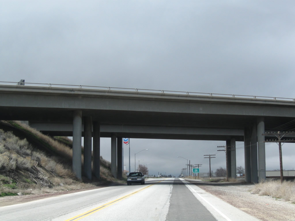 |
Now looking at the Tehachapi business route, California 58 Business (old U.S. 466) and the Union Pacific Railroad pass under the California 58 freeway. Photo taken 03/15/09. |
 |
The second left from Tehachapi Boulevard connects to California 58 east to Mojave. Continue straight ahead to follow U.S. 466 and California 58 Business into Tehachapi. Photo taken 03/15/09. |
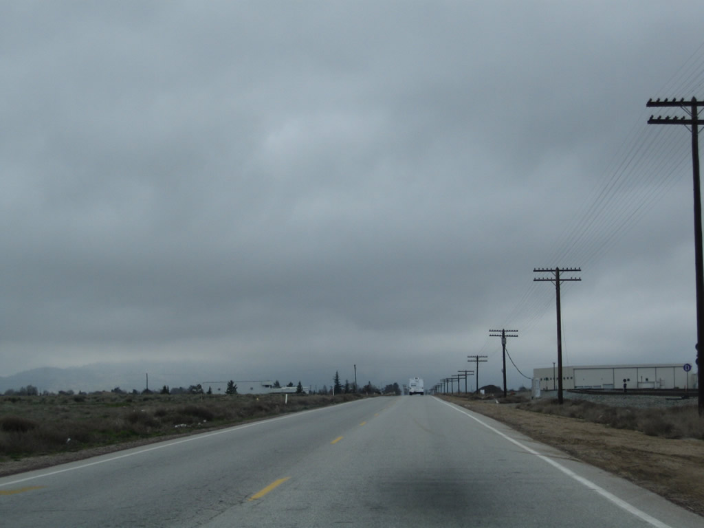 |
California 58 Business (Tehachapi Boulevard) proceeds west toward Downtown Tehachapi. Photo taken 03/15/09. |
 |
Tehachapi Boulevard passes a four-way stop at Dennison Road, and then passes by development on the south side of the highway. The railroad remains parallel to the old road. Photo taken 03/15/09. |
 |
Entering downtown Tehachapi, a restored water tower on the north side of old U.S. 466 and California 58 Business has a mural of a train. Photo taken 03/15/09. |
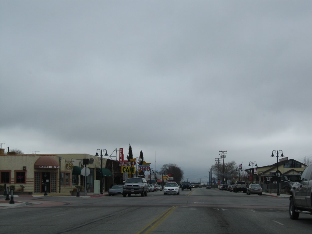 |
Businesses line both sides of Tehachapi Boulevard in Downtown Tehachapi. The highway widens out briefly to four lanes. Photo taken 03/15/09. |
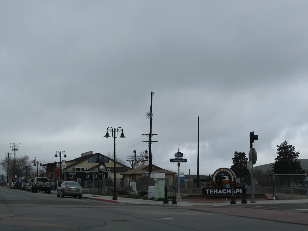 |
Downtown Tehachapi monument sign at the intersection of Green Street and historic U.S. 466 (Tehachapi Boulevard). Photo taken 03/15/09. |
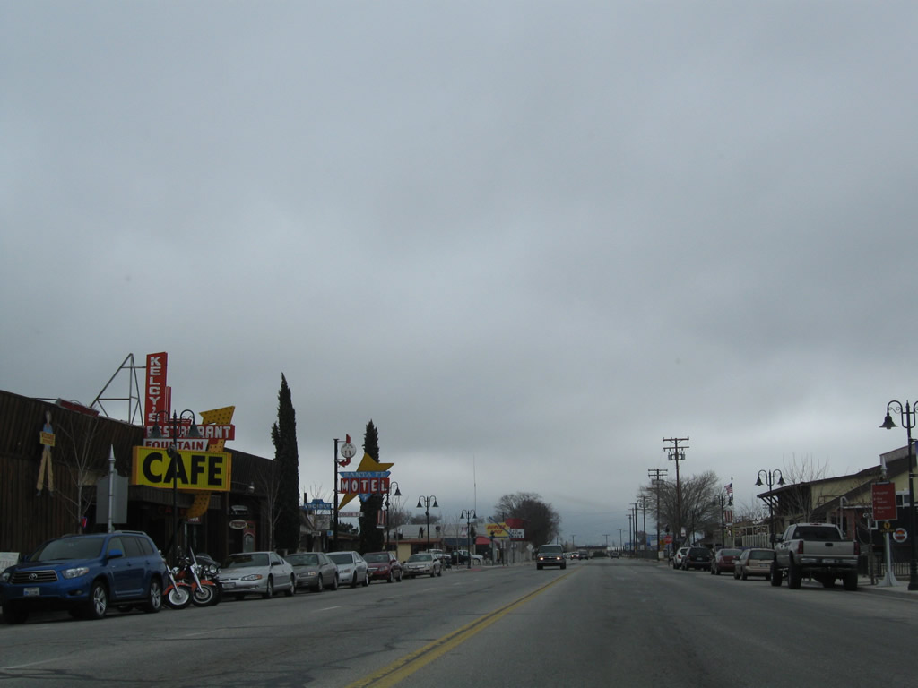 |
Additional motels and restaurants line both sides of Tehachapi Boulevard. Photo taken 03/15/09. |
 |
The historic rail depot is located on the north side of Tehachapi Boulevard (old U.S. 466) at the intersection of Curry Street. Photo taken 03/15/09. |
 |
Westbound SR 58 Business (Tehachapi Boulevard) meets Curry Street (former SR 202) at this stop sign. Prior to the construction of Tucker Road, U.S. 466 used to turn left at this point. Following the decommissioning of U.S. 466, SR 202 was established from this point. When the freeway bypass was built, SR 202 started at SR 58, followed West Tehachapi Boulevard west to Downtown Tehachapi, turned south on Curry Street, and then turned west on Cummings Valley Road. With the construction of Tucker Road, SR 202 no longer entered the Tehachapi city center. Photo taken 03/15/09. |
| California 58 Business - Tehachapi Boulevard west | |
 |
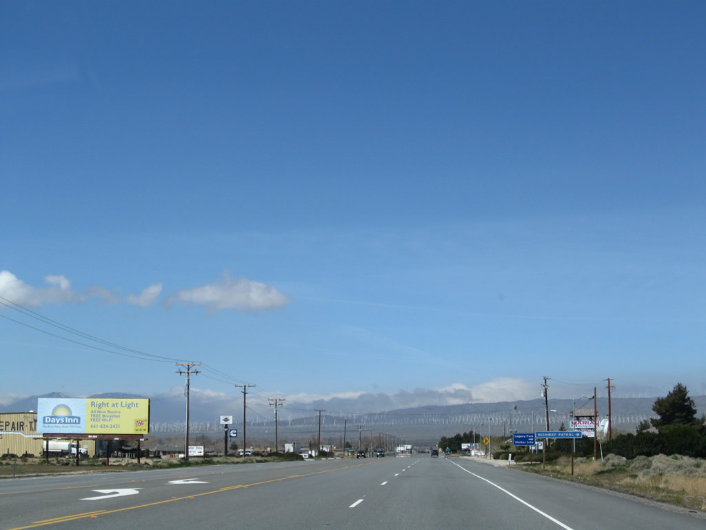
A California 58 Business reassurance shield and "freeway" trailblazer are posted on westbound Tehachapi Boulevard as we depart downtown Tehachapi. Photo taken 03/15/09. |
 |
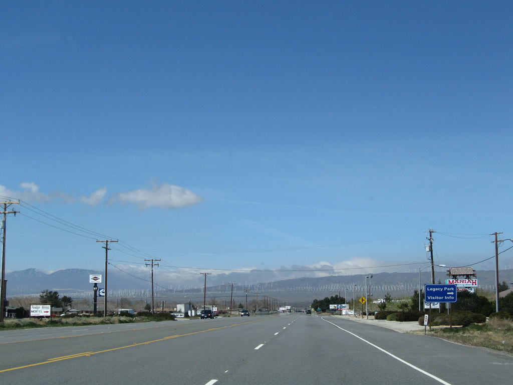
Shortly ahead, California 58 Business approaches California 202/Tucker Road. Turn left for California 202 (Tucker Road) south or right to follow California 202 north and California 58 Business west to the freeway. Photo taken 03/15/09. |
| California 58 Business west & 202 north | |
 |
This California 202 east reassurance shield is posted along northbound Tucker Road. California 202 meets California 58 Business at the Tehachapi Boulevard traffic signal, which is located at the bottom of the hill just ahead. Photo taken 01/21/04. |
 |
Just before reaching the freeway, eastbound SR 58 Business & SR 202 reach this sharp turn. Photo taken 01/21/04. |
 |
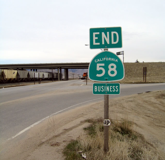
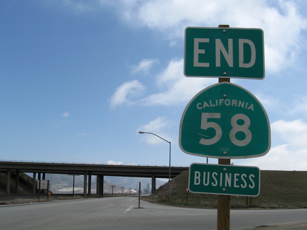
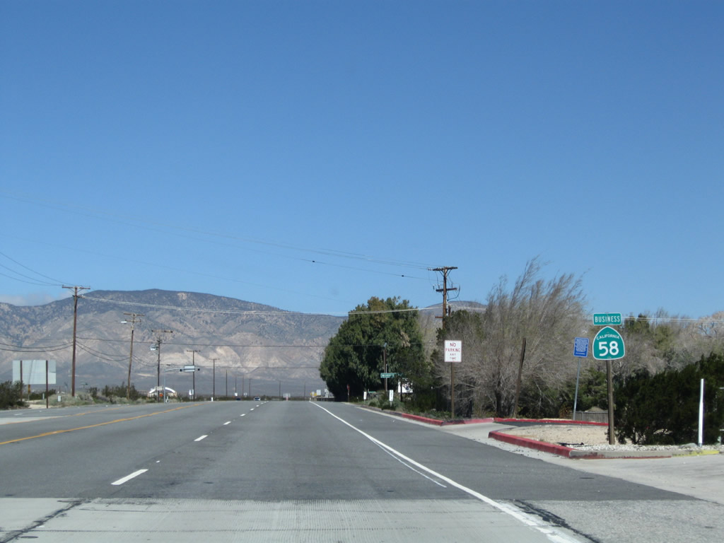
Upon reaching its interchange with California 58, California 58 Business has its end shield at the ramp to eastbound California 58. The end shield for California 202 is located on the other side of the overpass. Photo taken 01/21/04. |
 |
Eastbound California 202 ends as it transitions directly onto the ramp to westbound California 58. Photo taken 01/21/04. |
| California 58 Business (Old U.S. 466) west - Mojave | |
 |
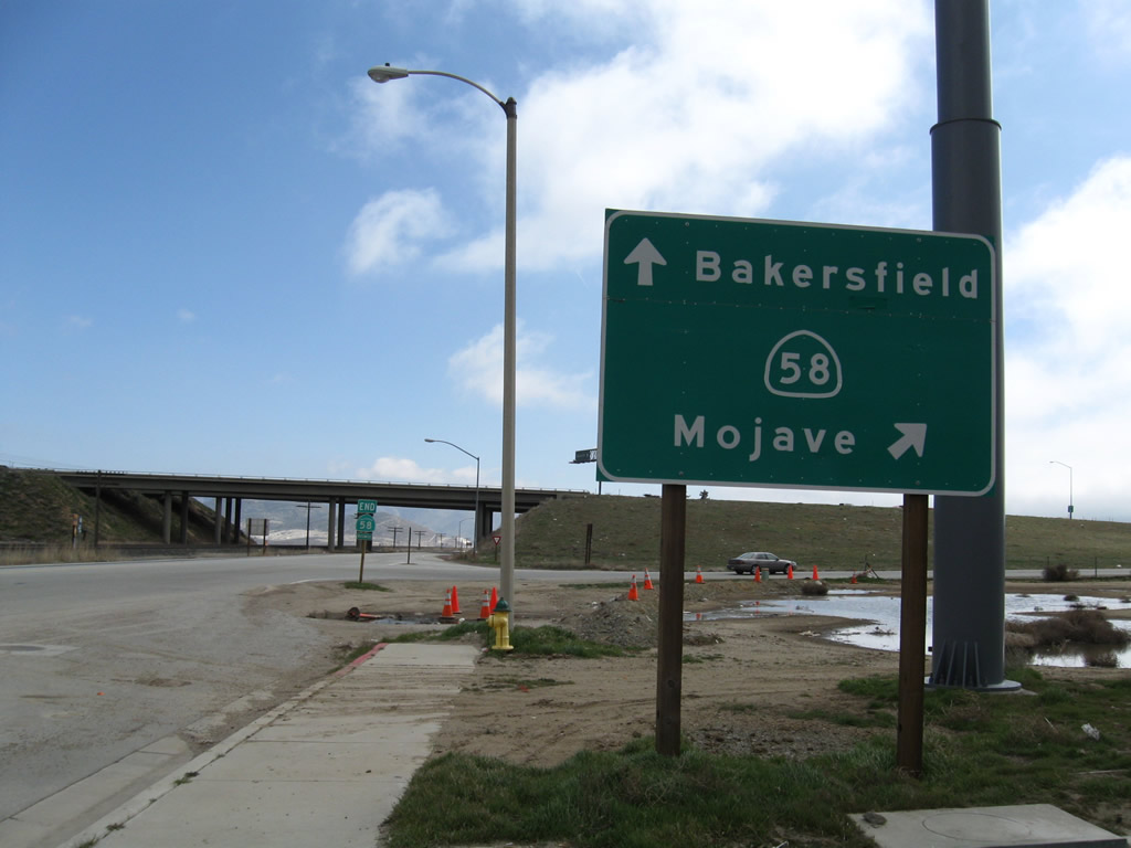
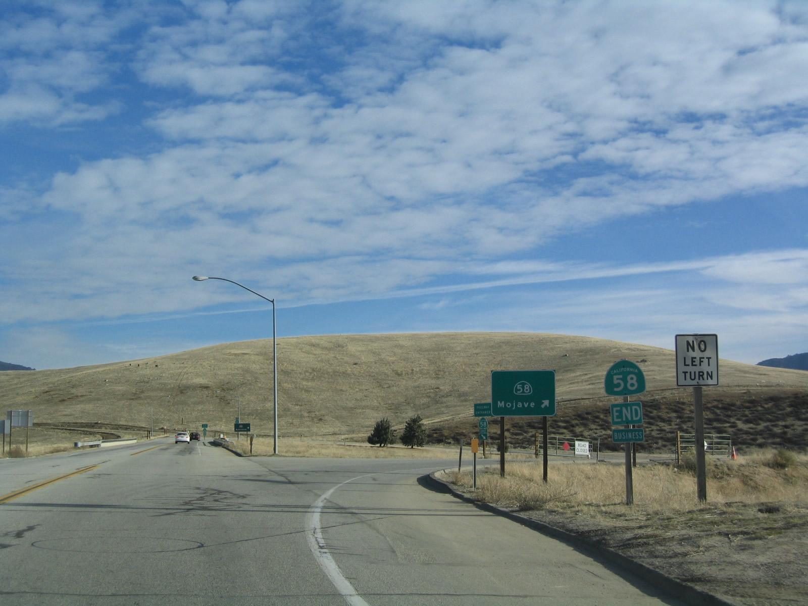
After leaving the freeway, the business route into Mojave follows old U.S. 466 west on a path that leads directly into the community of Mojave. This roadway served as California 58 expressway until 2003, when the Mojave Bypass opened to traffic. Photo taken 03/15/09. |
 |
The route into Mojave is signed as Business Route 58, both with shields and street blades such as this one at Proteus Road. Photo taken 03/15/09. |
 |
The first California 58 Business reassurance shield is posted near Proteus Road, just after the California 58 east interchange. Photo taken 03/15/09. |
 |
 |
 |
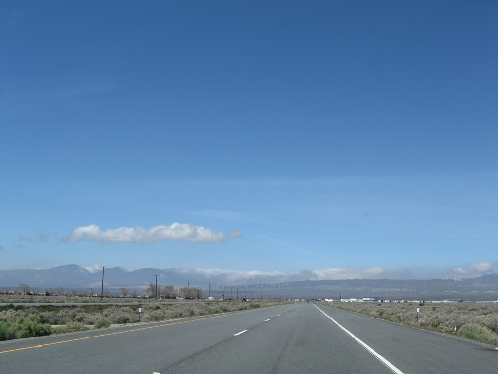
A bit of snow fell on top of the Tehachapi Mountains on this day (as evidenced by residual cloud cover on the top of the mountain range). The business route proceeds west toward the mountain foothills and downtown Mojave. Development is sporadic until getting close to the Mojave Air and Space Port. Photos taken 03/15/09. |
 |
 |
 |
 |
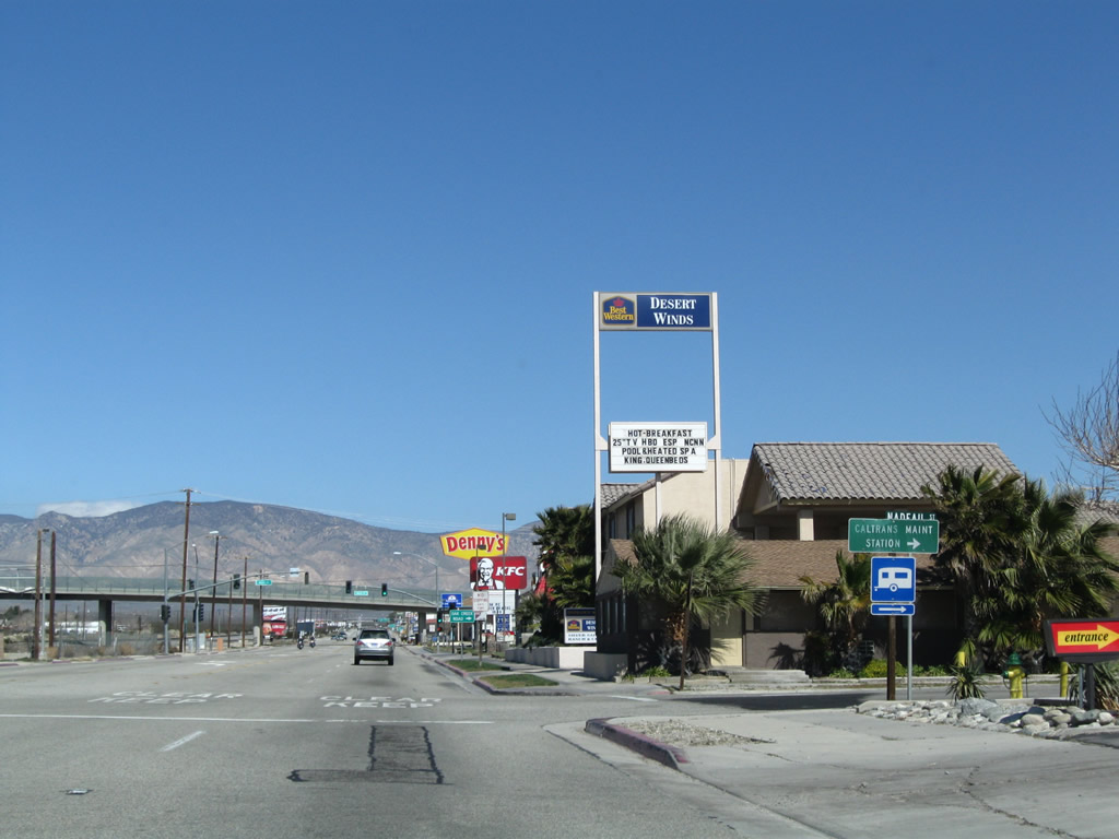
California 58 Business enters the unincorporated community of Mojave, the "Crossroads of the Future." Home to 3,836 people as of the 2000 Census, Mojave consists of 58.4 square miles and sits at an elevation of 2,762 feet. All motorist services can be found in Mojave. Photo taken 03/15/09. |
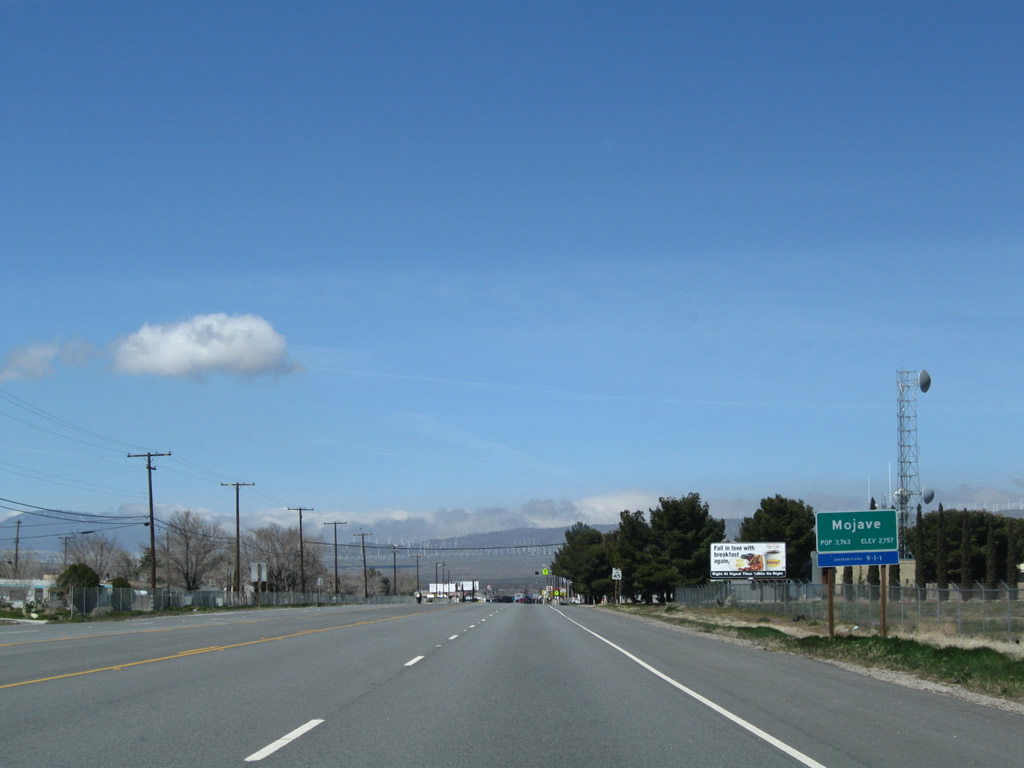 |
A more conventional (standard) Mojave sign is posted a short distance ahead on westbound California 58 Business. Photo taken 03/15/09. |
 |
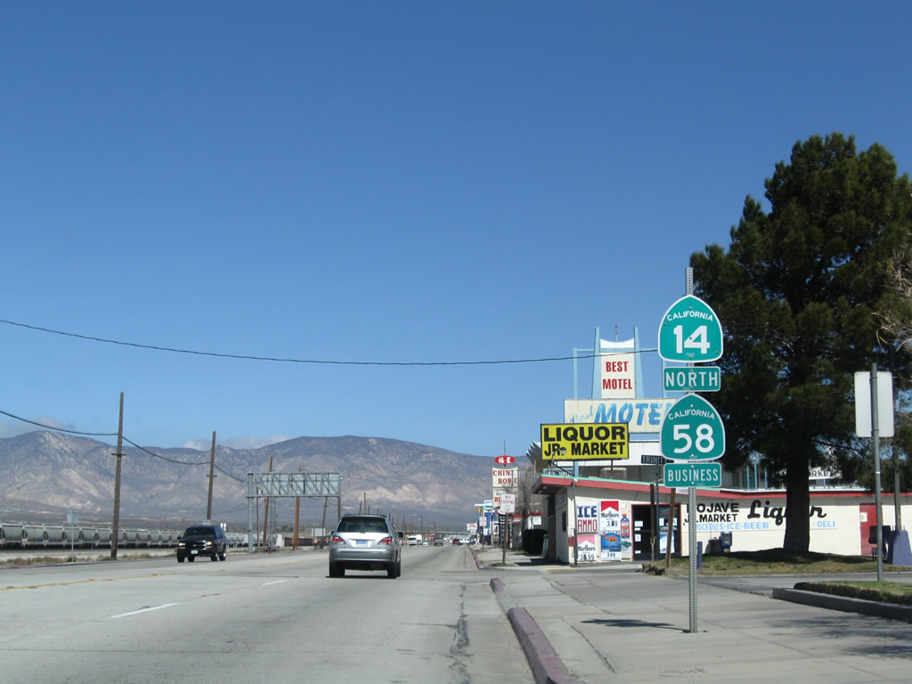
Westbound California 58 Business approaches its southern junction with California 14 / Sierra Highway (old U.S. 6). Prior to 1964, this intersection is where U.S. 466 and U.S. 6 (which was known as California 7 prior to the extension of U.S. 6 into the Golden State in the 1930s) used to meet. Today it is the intersection of California 58 Business and California 14. Photo taken 03/15/09. |
 |
A traffic signal governs the flow of traffic between California 58 Business and California 14 in southern Mojave. Behind the traffic signal is the railroad. Photo taken 03/15/09. |
 |
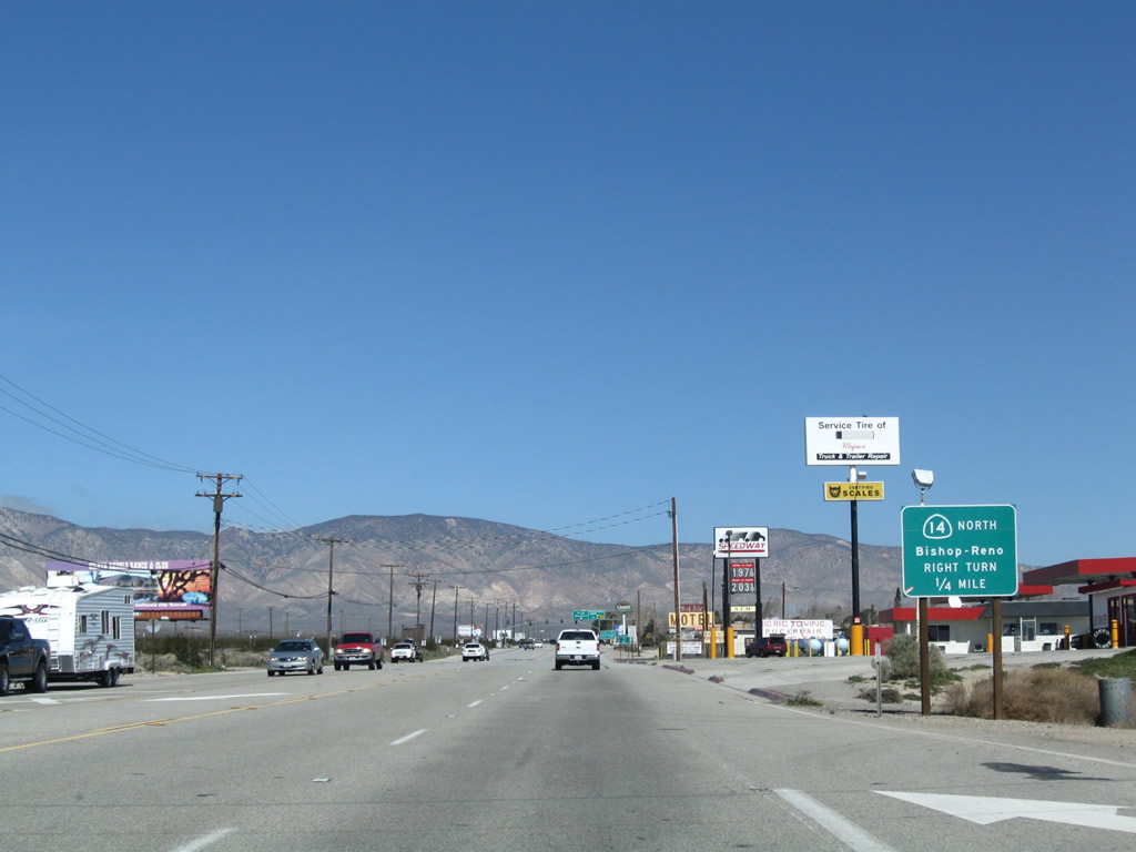
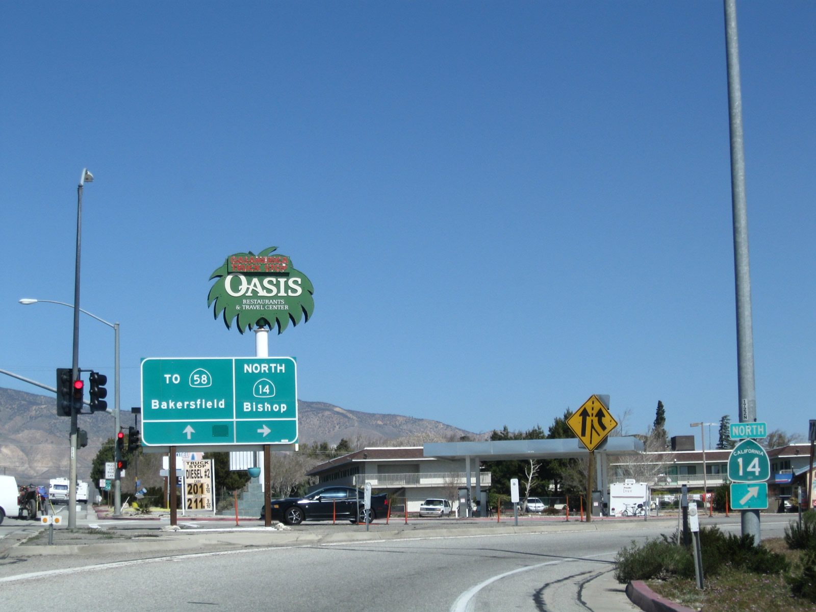
Turn left to follow California 14 south to Lancaster, Palmdale, Santa Clarita, and Los Angeles. Turn right to follow California 58 Business and California 14 north into Mojave. Continuing north, California 14 eventually joins U.S. 395 en route to Bishop. Photo taken 03/15/09. |
 |
A California 58 Business and California 14 traiblazer shield assembly is posted near the traffic signal. The business route turns right onto northbound California 14 (Sierra Highway). Photo taken 03/15/09. |
| California 14 north & California 58 Business west | |
|---|---|
 |
After the California 58 Business intersection, this reassurance shield assembly is posted for both California 14 north and California 58 Business west. Photo taken 03/15/09. |
 |
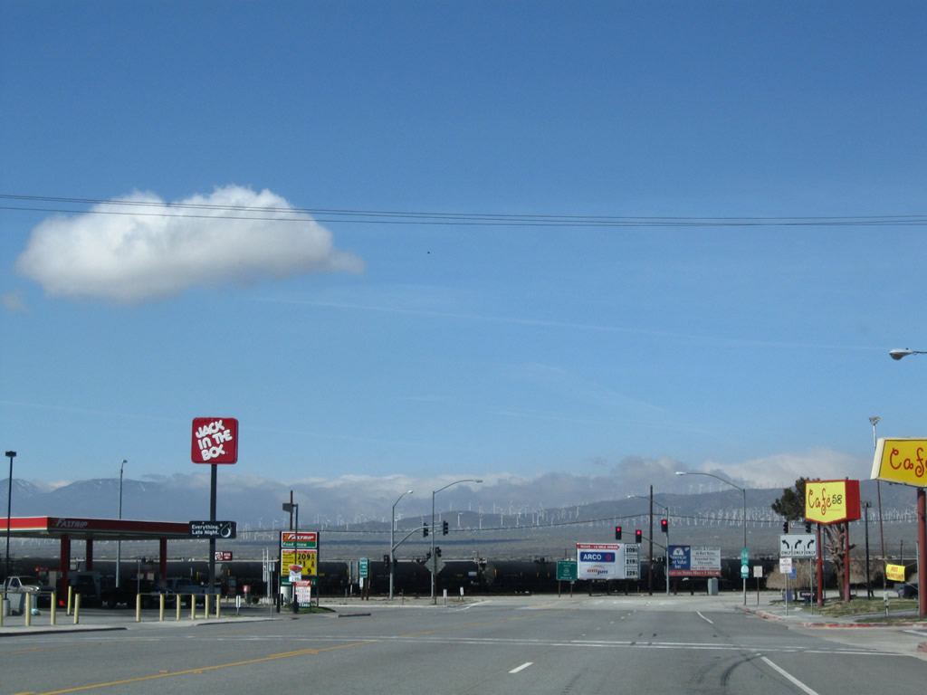
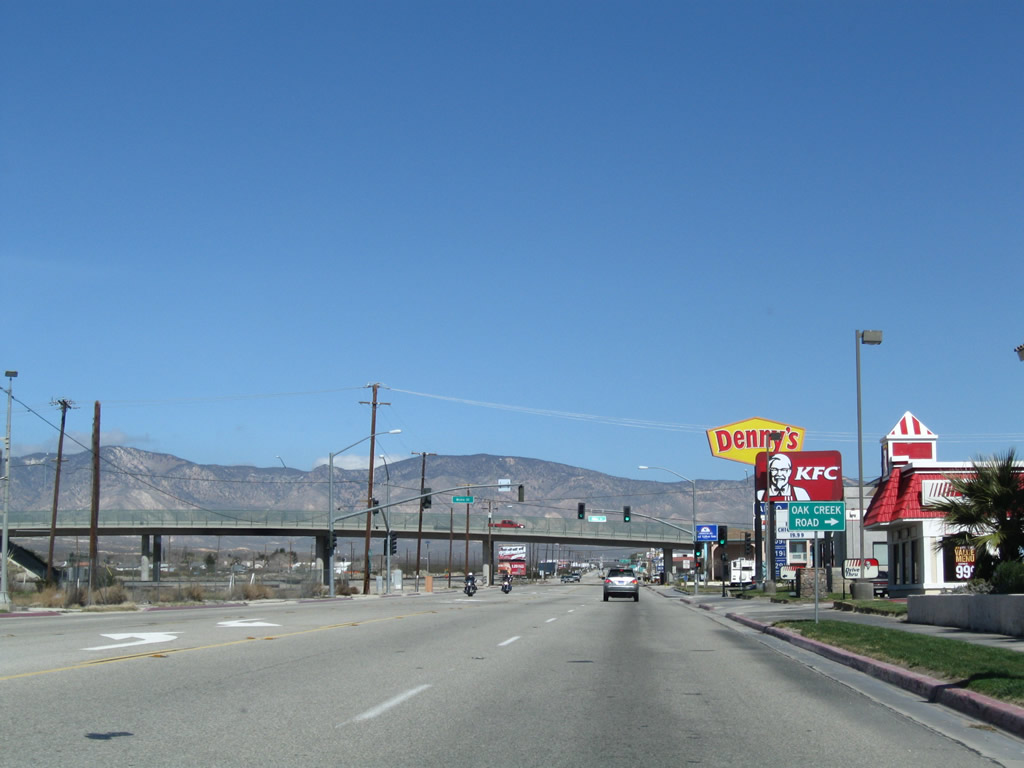
Food, gas, and lodging are located along this section of California 14 north and California 58 Business west as Sierra Highway proceeds through Mojave. Photo taken 03/15/09. |
 |
The railroad that parallels California 14 and California 58 Business on the west side of the highway widens into a busy railyard. Photo taken 03/15/09. |
 |
Borax was hauled by the Twenty Mule Team from Boron to Mojave; this site represents the western end of that mule haul route. Photo taken 03/15/09. |
 |
Turn right from California 14 north and California 58 Business west onto Nadeau Street east to the Caltrans Maintenance Station. Photo taken 03/15/09. |
 |
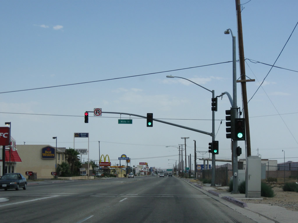
The next traffic signal along California 14 north is with Mono Street east to Oak Creek Road west. The overpass ahead carries Oak Creek Road over both California 14 and the railyard. Photo taken 03/15/09. |
 |
Northbound California 14 and westbound California 58 Business/Sierra Highway meet Mono Street (to Oak Creek Road west). Photo taken 03/15/09. |
 |
Oak Creek Road passes over California 14 and California 58 Business. Oak Creek Road travels west into the Tehachapi Mountains, eventually connecting with Tehachapi Willow Springs Road north to Tehachapi or south to Willow Springs and Antelope Acres (California 138). Photo taken 03/15/09. |
 |
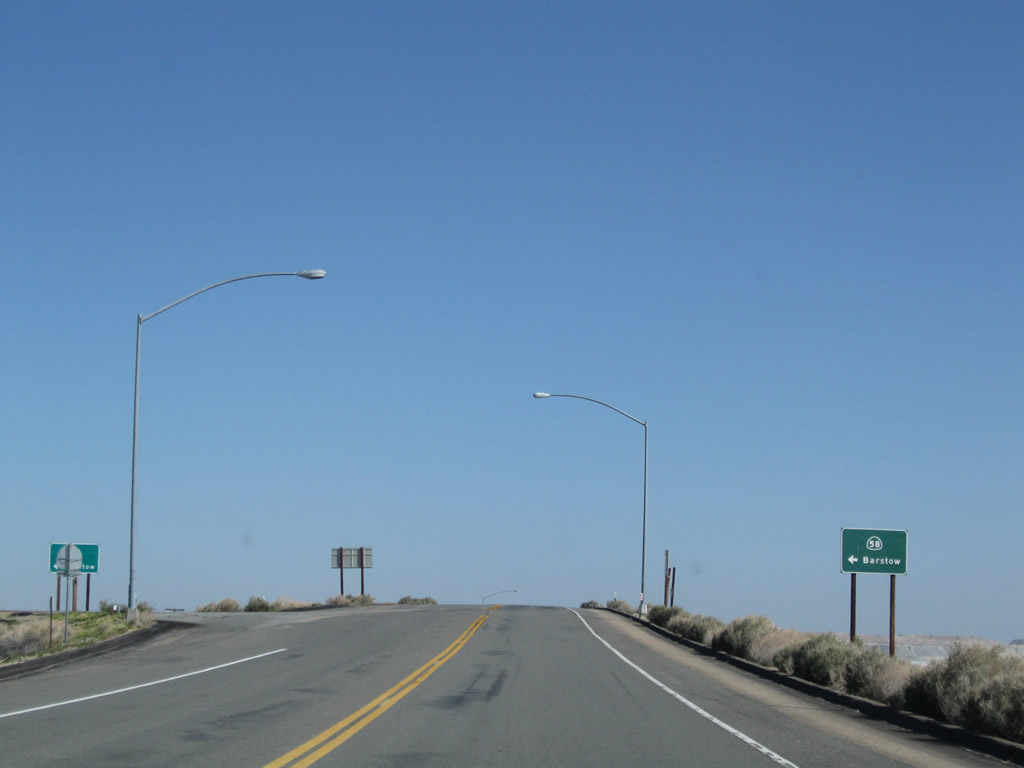
The routes divide about a half mile north of the Oak Creek Road overpass. Stay left to follow California 58 Business west back to California 58 or stay right to follow California 14 north to Lone Pine, Bishop, Lake Tahoe, and Reno. Photo taken 03/15/09. |
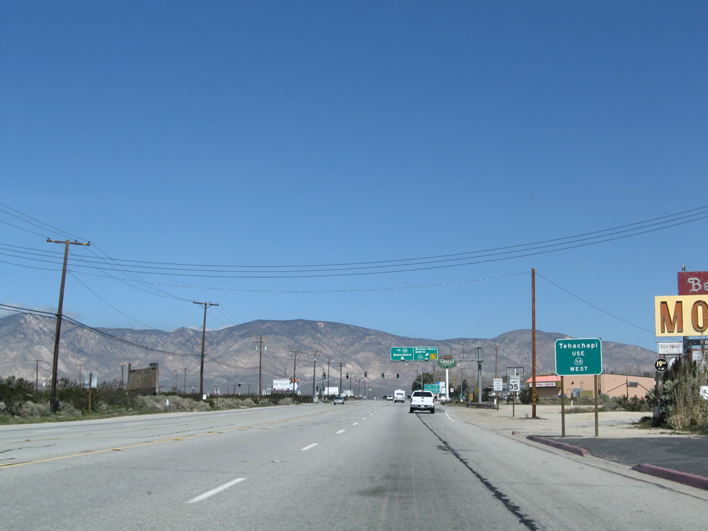 |
To Tehachapi, follow California 58 west. Photo taken 03/15/09. |
 |
At this point, the routes divide. California 58 turns northwest toward Tehachapi, Bakersfield, and points north and west in the Central Valley. California 14 turns northeast toward Inyokern, where it merges with U.S. 395. From there, U.S. 395 proceeds north through the Eastern Sierra toward Bishop and Reno. Photo taken 03/15/09. |
 |
California 14's depature northeast is well-signed, including another ground-mounted sign and a trailblazer. Photo taken 03/15/09. |
| California 58 Business (Old U.S. 466) west - Mojave | |
 |
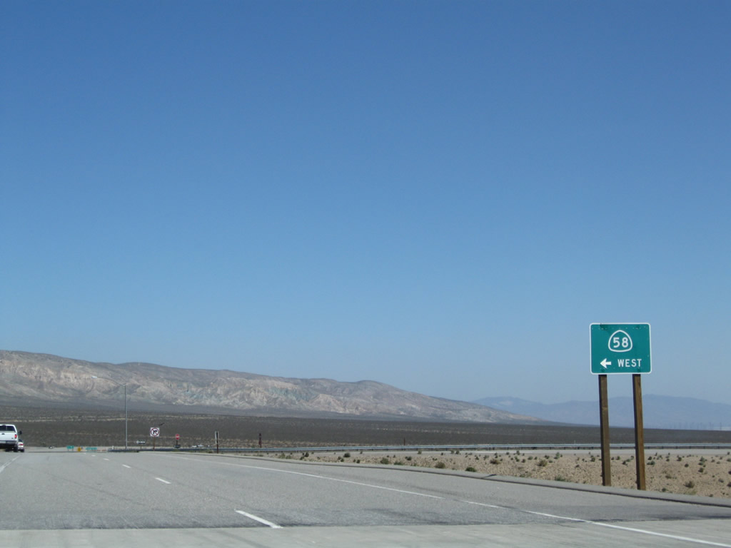
After splitting from California 14, a California 58 Business west reassurance shield is posted. The business route will proceed a few miles northwest, then merge onto the California 58 freeway. Photo taken 03/15/09. |
 |
California 58 Business retains four lanes and widens to include a painted median strip. Photo taken 03/15/09. |
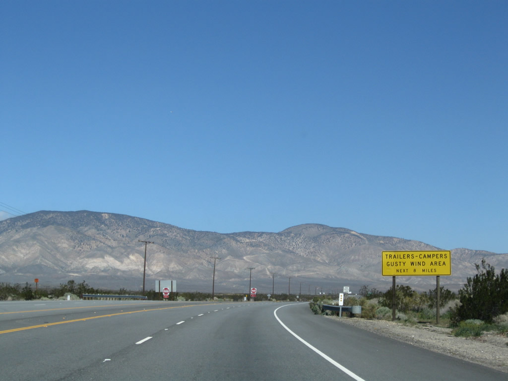 |
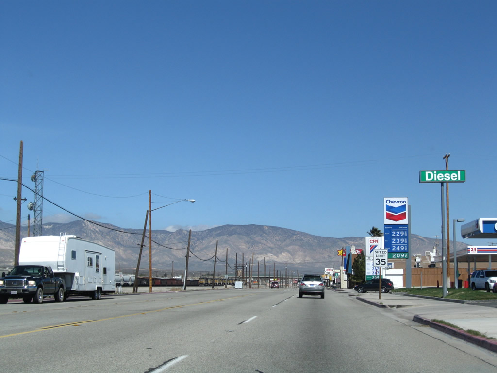
Watch for gusty winds along California 58 Business and California 58 west between Mojave and Tehachapi. Photo taken 03/15/09. |
 |
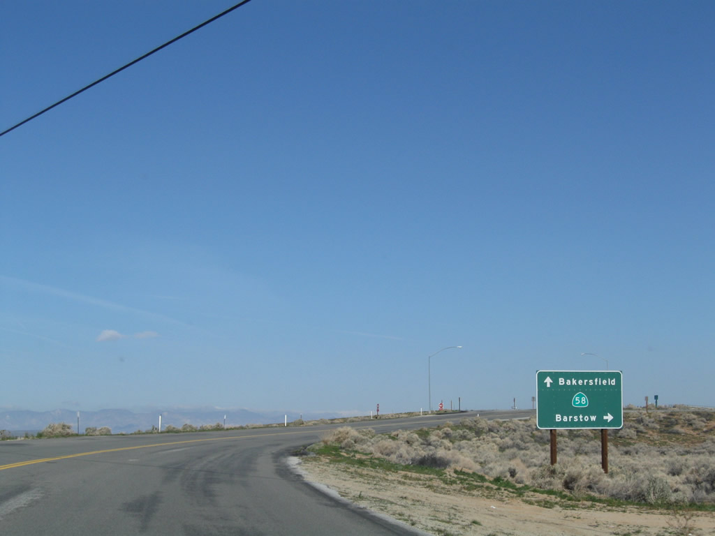
This mileage sign along westbound California 58 Business (U.S. 466) provides the distance to Tehachapi (20 miles), Bakersfield (58 miles), and Interstate 5 near Buttonwillow (82 miles). Photo taken 03/15/09. |
 |
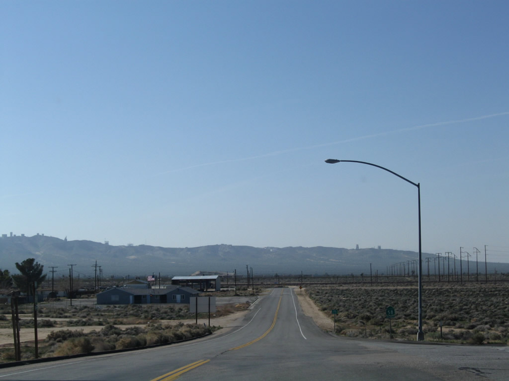
The business route gains elevation as it enters the foothills and begins its journey toward Tehachapi Pass. Photo taken 03/15/09. |
 |
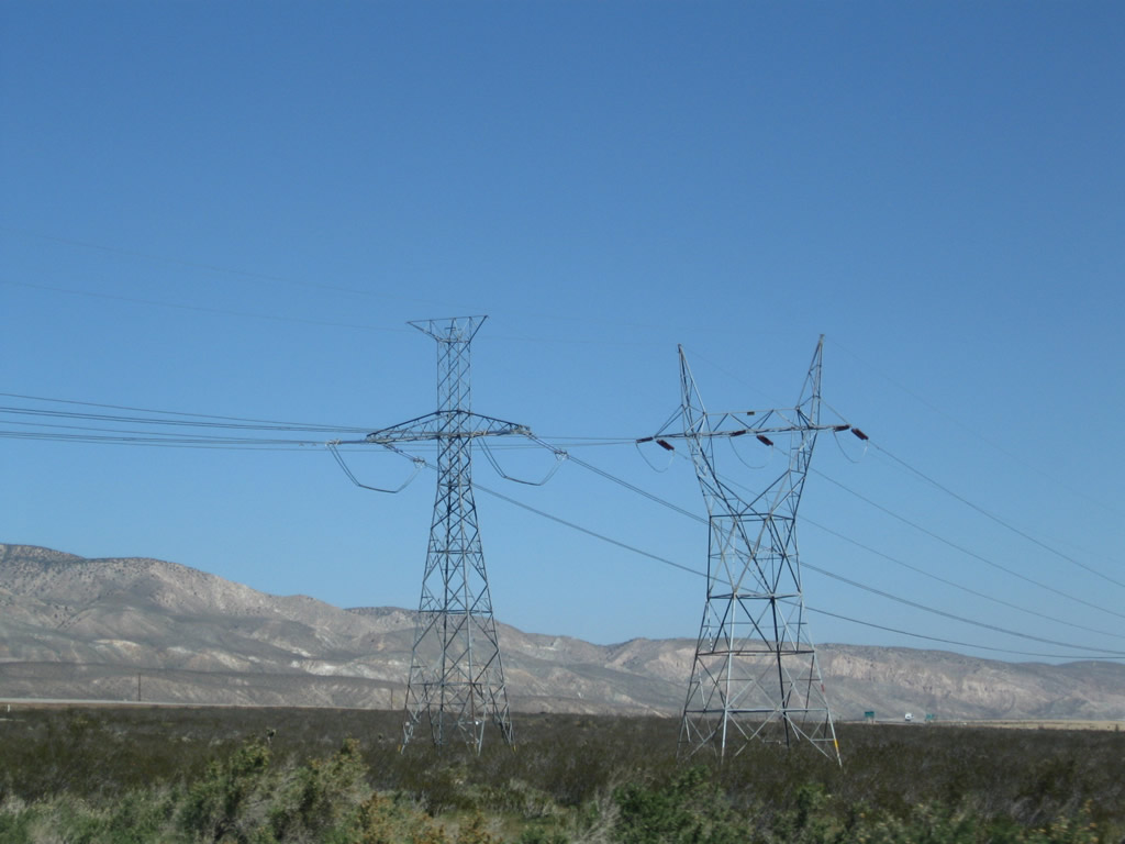 |
California 58 Business curves toward the north to rejoin with California 58. Overhead, the Path 65 (Pacific Direct Current Intertie) power lines cross over the highway along with Los Angeles Department of Water and Power lines that lead into Owens Valley. Photos taken 03/15/09. |
 |
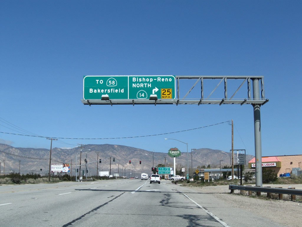
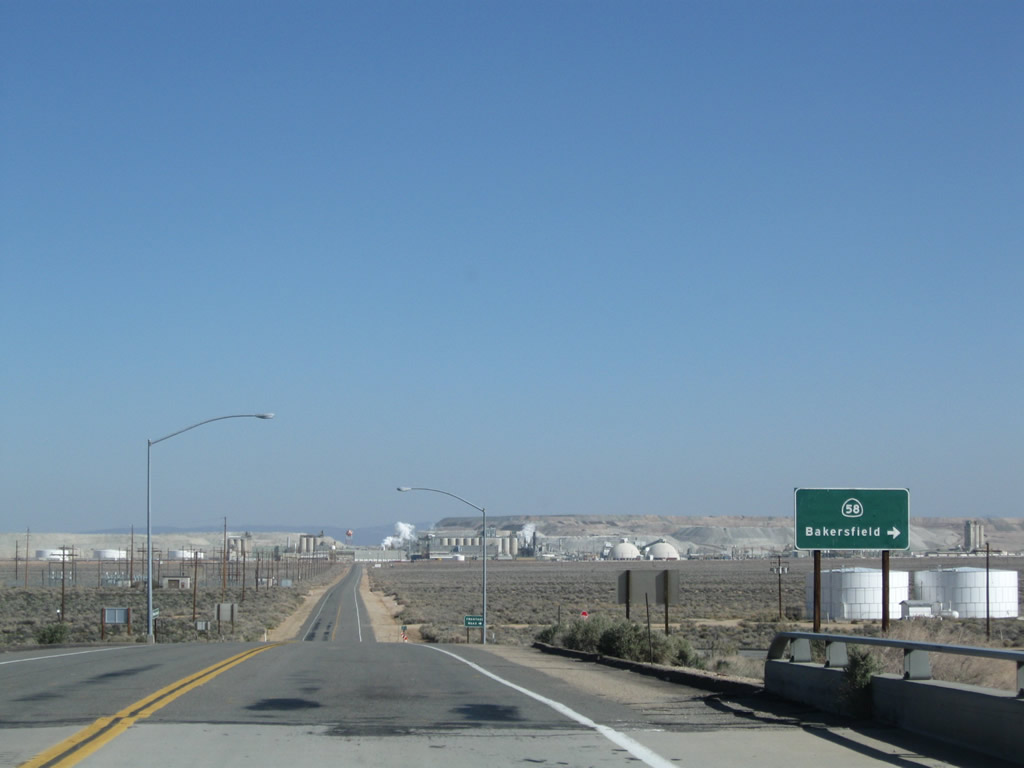
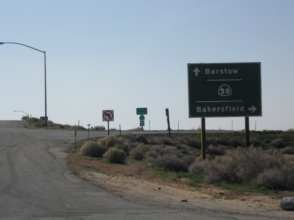
At the western Mojave interchange, the first ramp connects to California 58 east to Barstow, while the second ramp leads to California 58 west to Tehachapi and Bakersfield. Photo taken 03/15/09. |
 |
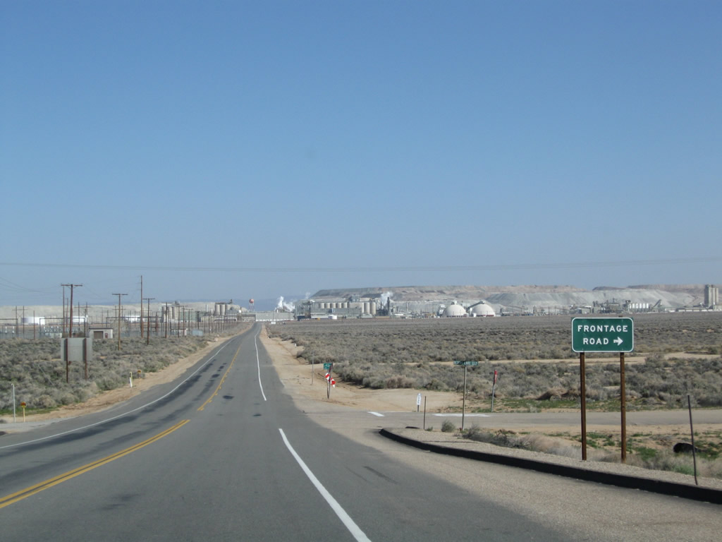
After passing by the frontage road intersection, westbound California 58 Business meets the ramp to California 58 east to Barstow. The next left connects to California 58 west to Tehachapi and Bakersfield. Photo taken 03/15/09. |
 |
The freeway entrance shield assembly for California 58 east has a state route shield without the state name. Photo taken 03/15/09. |
 |
California 58 Business comes to an end at the ramp to California 58 west to Tehachapi and Bakersfield. Continue straight ahead to follow Randsburg Cutoff east back to California City and California 14. Photo taken 03/15/09. |
 |
The freeway entrance shield assembly for California 58 west includes the proper state-named shield. Photo taken 03/15/09. |
| California 14 south & California 58 Business east | |
|---|---|
 |
After merging with California 58 Business (old U.S. 466), a reassurance shield assembly is posted for California 14 south and California 58 Business east. Photo taken 07/19/09. |
 |
Southbound California 14 and eastbound California 58 Business passes under Oak Creek Road and approaches its intersection with Mono Street. Turn left at the Mono Street traffic signal to connect Oak Creek Road, which travels west over the railroad tracks and then onward to Tehachapi-Willow Springs Road, which leads to (as the name implies) Tehachapi and Willow Springs. California 58 is a more direct route to Tehachapi than Oak Creek Road. Photo taken 07/19/09. |
 |
Southbound California 14 and eastbound California 58 Business meets Mono Street at this traffic signal. All motorist services are available ahead, including food, gas, and lodging. Photo taken 07/19/09. |
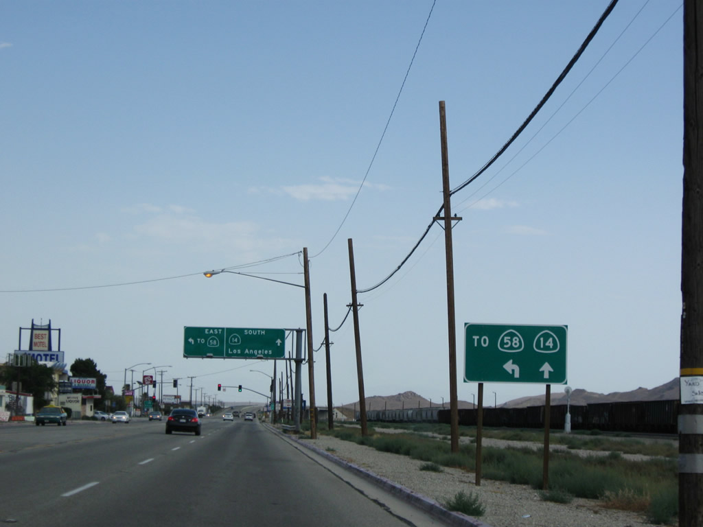 |
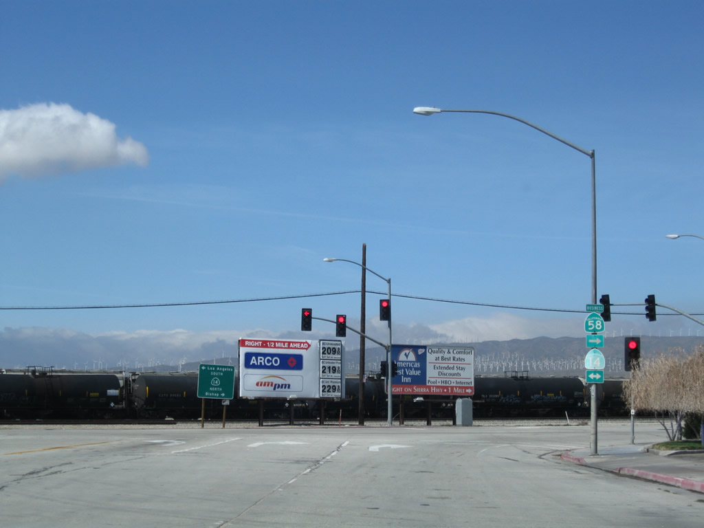
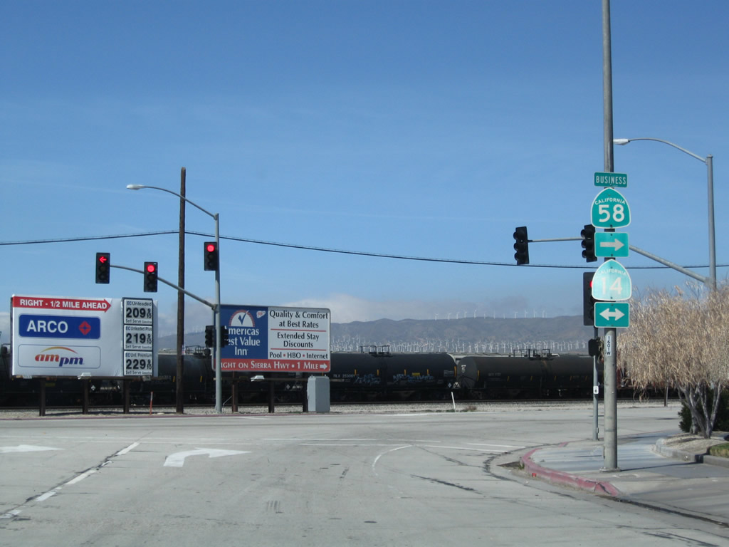
At the traffic signal ahead, California 14 and California 58 Business (old U.S. 466) will split. California 58 Business turns left (east) toward Boron and Barstow, while California 14 (Sierra Highway) (old U.S. 6) continues south toward Rosamond, Lancaster, Palmdale, and Los Angeles. Photo taken 07/19/09. |
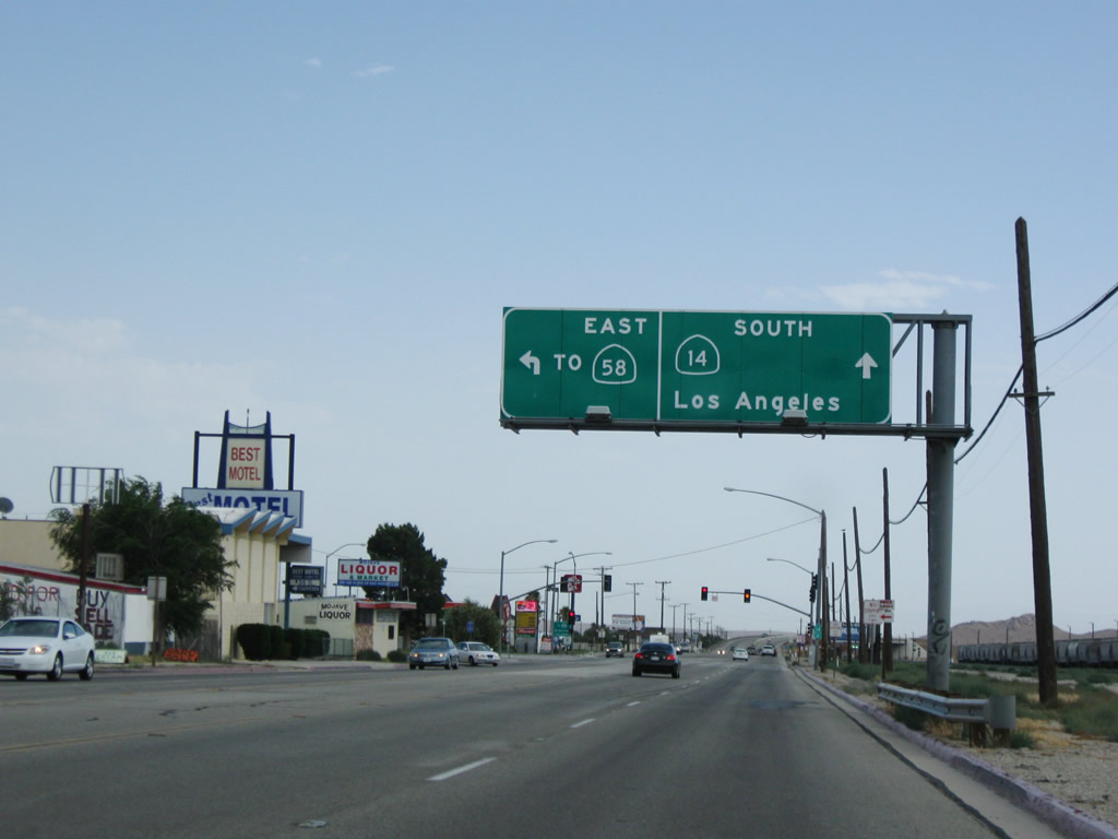 |
An overhead sign points the way to California 58 east via California 58 Business. Southbound California 14 continues straight ahead toward Los Angeles. Photo taken 07/19/09. |
 |
A pole-mounted California 14 trailblazer is posted prior to the traffic signal. Photo taken 07/19/09. |
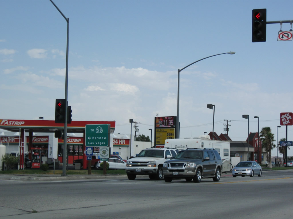 |
Upon reaching the intersection, a ground-mounted sign points the way to California 58 east to Barstow and Las Vegas. California 58 is part of the fastest route from Northern California to Las Vegas via Interstate 5, California 58, and Interstate 15 (the latter two routes both part of former U.S. 466, which connected the Central Coast with Las Vegas via Barstow). Photo taken 07/19/09. |
| California 58 Business (Old U.S. 466) west - Boron | |
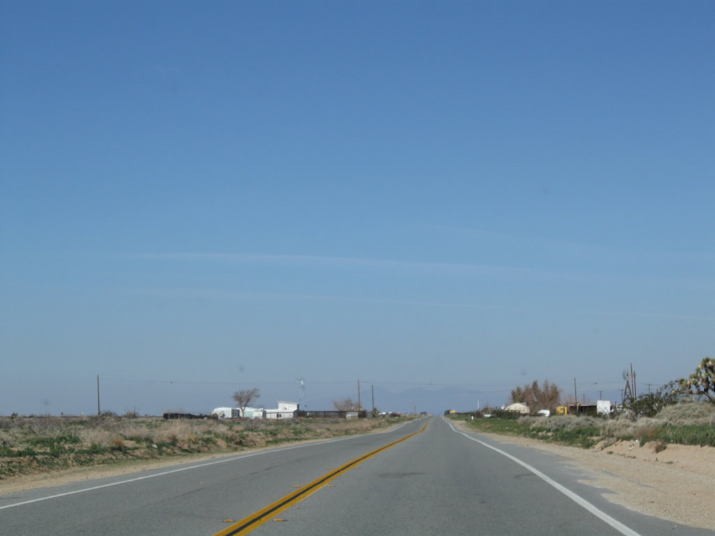 |
After leaving California 58, the business route follows old U.S. 466 west on a path parallel to the railroad tracks via Twenty Mule Team Road. Photo taken 03/15/09. |
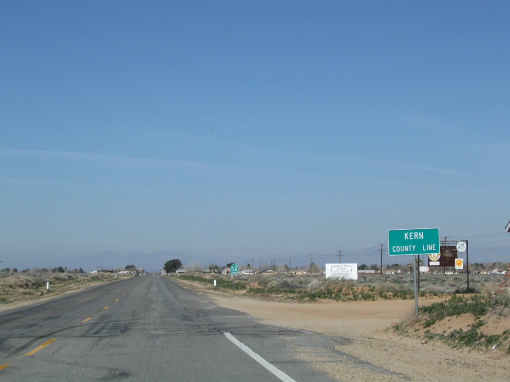 |
California 58 Business leaves San Bernardino County and enters Kern County. Photo taken 03/15/09. |
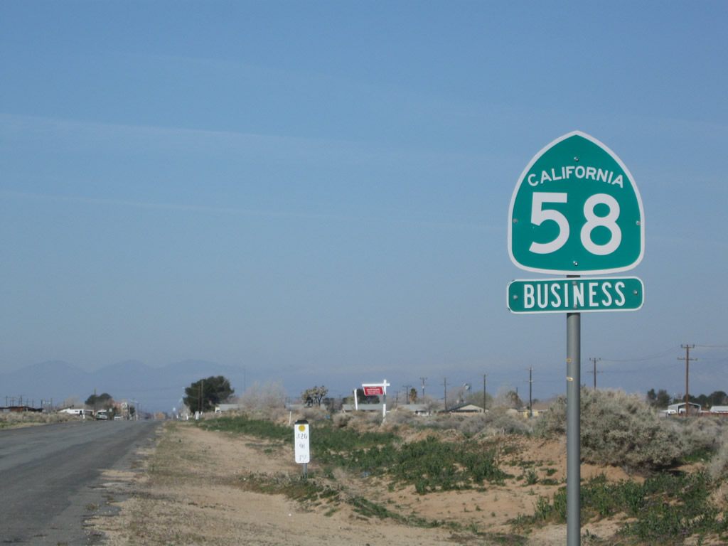 |
The first California 58 Business reassurance shield is posted shortly after the county line. Photo taken 03/15/09. |
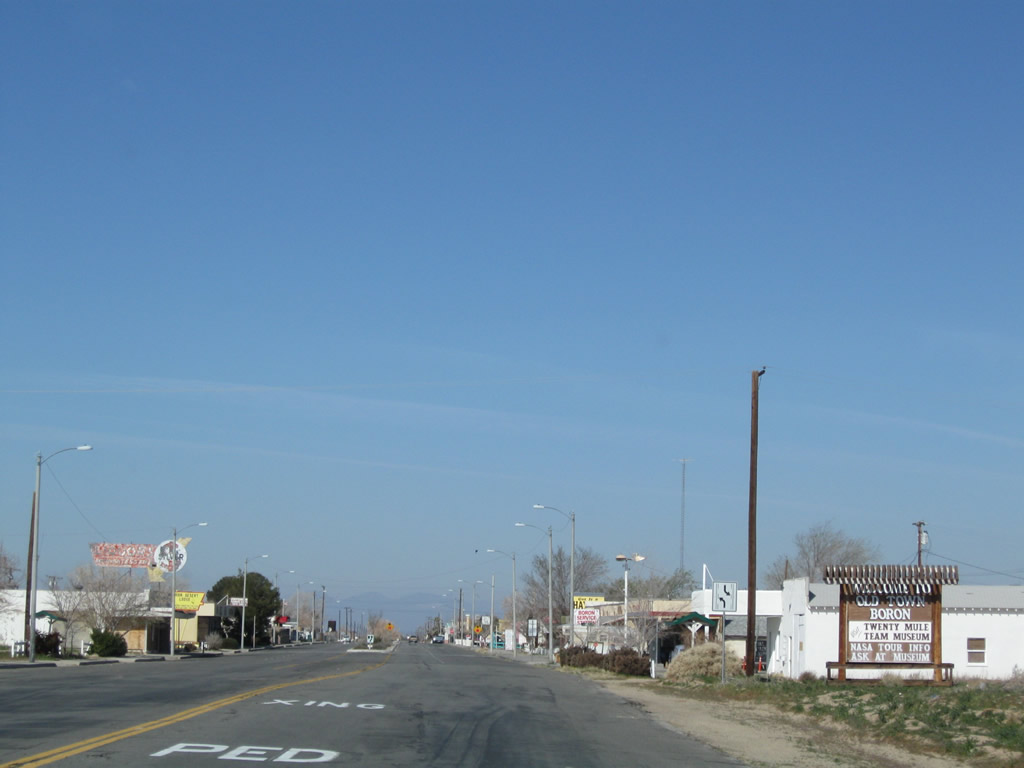 |
Westbound California 58 Business (Twenty Mule Team Road) enters the unincorporated community of Boron (population 2,025 people as of the 2000 Census). Boron is perhaps best known for having the largest open pit mine in California; this pit is also the largest borax mine in North America. Borax was first discovered in 1926 and is part of the industry of Boron, and borax is the focus of the Twenty Mule Team Museum in downtown Boron. Photo taken 03/15/09. |
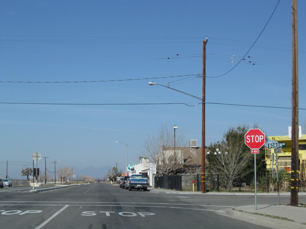 |
Westbound California 58 Business (Twenty Mule Team Road) meets Boron Avenue in downtown Boron. Photo taken 03/15/09. |
 |
A few motels line California 58 Business (U.S. 466) as it departs downtown Boron. Photo taken 03/15/09. |
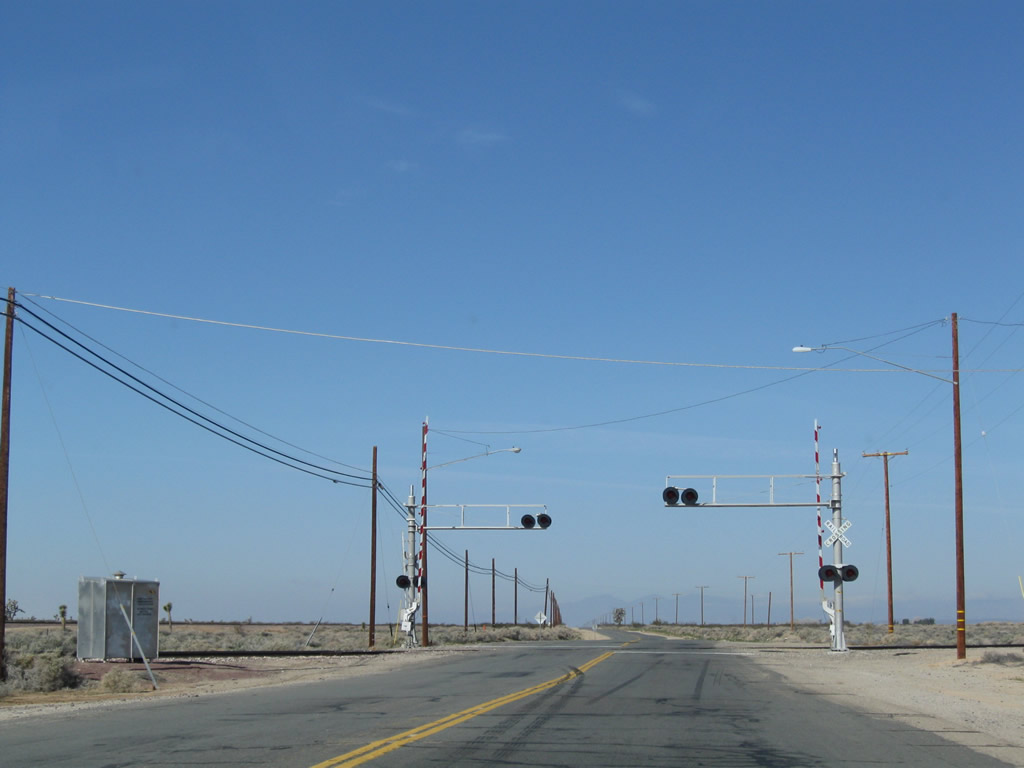 |
Continuing west, California 58 Business (U.S. 466) crosses the railroad tracks. Photo taken 03/15/09. |
 |
A large Joshua tree, which are commonly found in the Mojave Desert, is situated next to the old road west of Boron. Photo taken 03/15/09. |
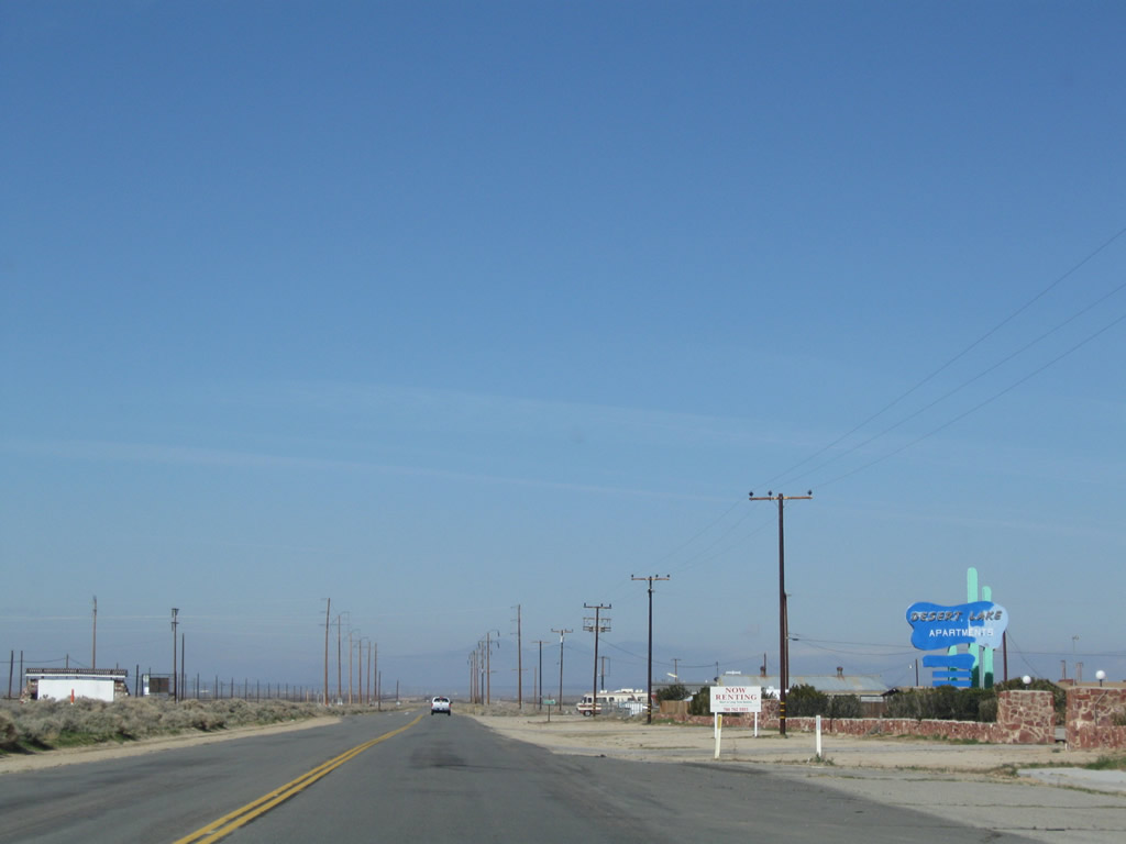 |
The Desert Lake Apartments sits alone off California 58 Business west of Boron. The next major intersection is with Borax Road, which travels north to California 58 at Exit 196. Photo taken 03/15/09. |
 |
Westbound California 58 Business meets Borax Road. Twenty Mule Team Road continues straight, while the business route turns north at this intersection. U.S. 466 continues west along Twenty Mule Team Road. Photo taken 03/15/09. |
| California 58 Business north - Boron | |
 |
A final California 58 Business reassurance shield is posted after turning north on Borax Road. Photo taken 03/15/09. |
 |
Northbound California 58 Business (Borax Road) approaches California 58 freeway. Turn left to follow California 58 east to Barstow or make the second left to travel west to Mojave and Bakersfield. Photo taken 03/15/09. |
 |
California 58 Business (Borax Road) meets the ramp to California 58 east to Barstow. Photo taken 03/15/09. |
 |
California 58 Business ends at the ramp to California 58 west to Mojave and Bakersfield. Borax Road continues north toward the mine. Photo taken 03/15/09. |
 |
The borax mine becomes even more prevalent as we meet the northern frontage road intersection after the California 58 freeway. Photo taken 03/15/09. |
| Twenty Mule Team Road (old U.S. 466) west | |
 |
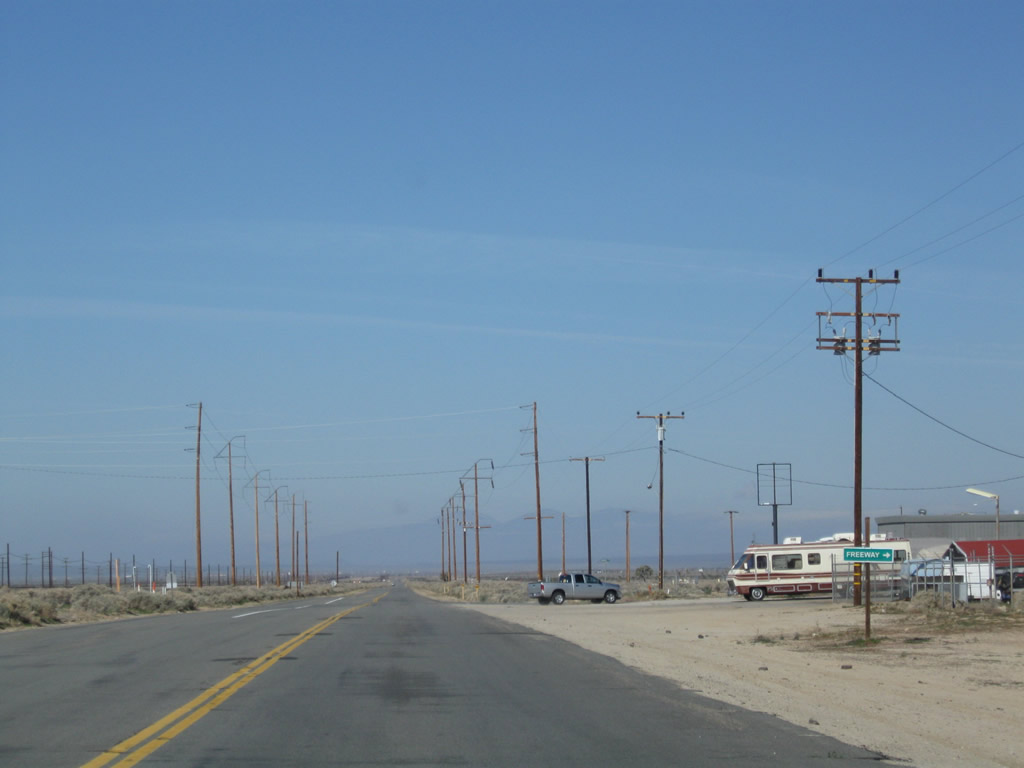
After California 58 Business turns north along Borax Road, Twenty Mule Team Road (old U.S. 466) continues west toward Mojave. Photo taken 03/15/09. |
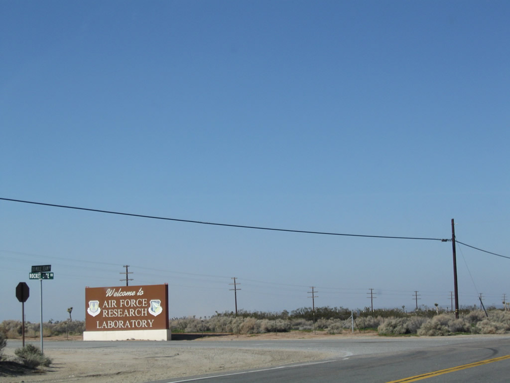 |
Westbound Twenty Mule Team Road (old U.S. 466) meets Rocket Site Road at this intersection near Edwards Air Force Base. Photo taken 03/15/09. |
 |
Eventually, Twenty Mule Team Road (old U.S. 466) approaches California 58, and the old alignment is absorbed back onto the freeway. The first ramp connects to California 58 east to Boron and Barstow. Photo taken 03/15/09. |
 |
The second ramp links to California 58 west to Mojave and Bakersfield. Photo taken 03/15/09. |
| Twenty Mule Team Road (old U.S. 466) west | |
 |
This older, button copy sign is posted along the road that crosses California 58 at the Twenty Mule Team Road interchange. Photo taken 03/15/09. |
| California 58 Business south - Boron | |
 |
This view looks south on Borax Road from the California 58 overpass. The first California 58 Business reassurance shield is visible ahead, with a distance stop sign at Twenty Mule Team Road (U.S. 466). Photo taken 03/15/09. |
| California 58 Business (Old U.S. 466) east - Boron | |
 |
After turning onto eastbound Twenty Mule Team Road, this is the first California 58 Business reassurance shield, which is posted after the Borax Road intersection. Photo taken 03/15/09. |

Page Updated July 7, 2010.
|
About Contact Glossary |
In The News Testimonials Interstate Guide |
Social Media:
 |
|
© 2000-23 AARoads.com | All Rights Reserved | Privacy Policy / Terms of Use
|
||