| California 74 east |
|
California 74 begins in the city of San Juan Capistrano ("Preserving the Past to Enhance the Future"; incorporated on April 19, 1961; population 33,826 as of 2000 Census). Through Orange County, California 74 is alternatively known as the Ortega Highway. This view looks east on California 74 (Ortega Highway) as it leaves the Interstate 5 interchange, about a mile east of Mission San Juan Capistrano. Photo taken 06/17/06. |
|
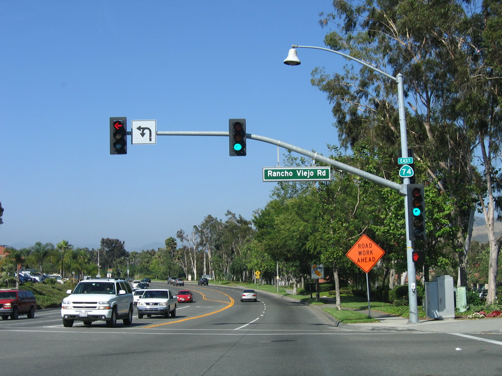
The first signalized intersection along eastbound California 74 (Ortega Highway) is with Rancho Viejo Road. A small California 74 east reassurance shield is posted on the mast arm; it is the first such shield on eastbound. Photo taken 06/17/06. |
|
Eastbound California 74 approaches Via Cuartel. As California 74 passes through San Juan Capistrano, residential development lies behind landscaping consisting of trees and groundcover. Access to the residential neighborhoods is offered by collector roads such as Via Cuartel. Photo taken 06/17/06. |
|
Approaching the east end of San Juan Capistrano, California 74 narrows to one eastbound lane. An improvement project was underway in 2010 to widen California 74 to four lanes as far east as Antonio Parkway. Photo taken 06/17/06. |
|
|
California 74 leaves San Juan Capistrano and next crosses over San Juan Creek. Development abates somewhat, and motorists are treated to large tracts of open space. Plans call for further development in this corner of Orange County, although the timing is dependent upon a multitude of factors. This bridge (built in 1995) was widened in 2010 as part of the aforementioned highway widening project. Photos taken 06/17/06. |
|
After crossing San Juan Creek, eastbound California 74 approaches Antonio Parkway, a major north-south Orange County. Originating at this traffic signal, Antonio Parkway travels north through Ladera Ranch to Rancho Santa Margarita near Coto de Caza. Use Antonio Parkway north to Toll California 241 (Foothill Transportation Corridor). Photo taken 06/17/06. |
|
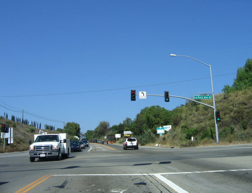
To the south, La Pata Avenue begins at this intersection and travels south to the county landfill. Photo taken 06/17/06. |
|
Eastbound California 74 meets Antonio Parkway and La Pata Avenue at this intersection. California 74 continues east to enter Cleveland National Forest and ascends through San Juan Canyon. On the far side of the mountains, California 74 descends Cariso Grade to Lake Elsinore in Riverside County. Photo taken 06/17/06. |
|
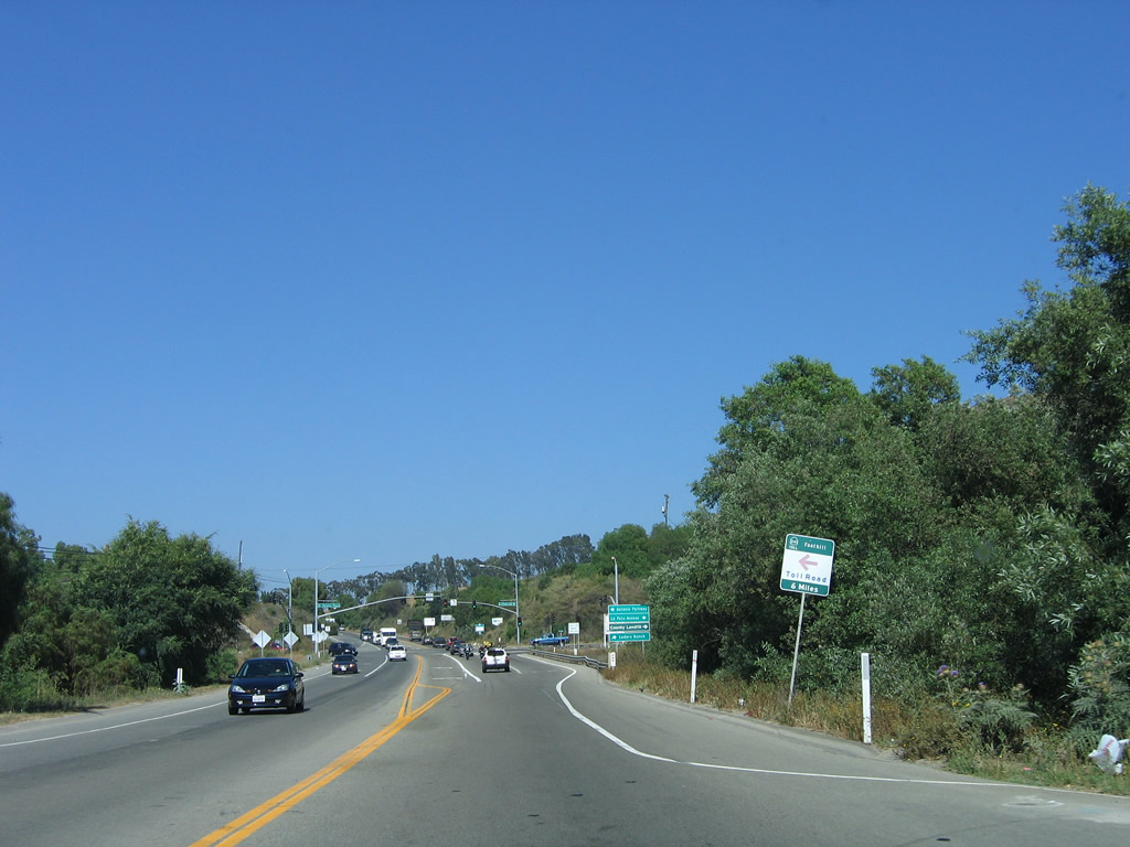
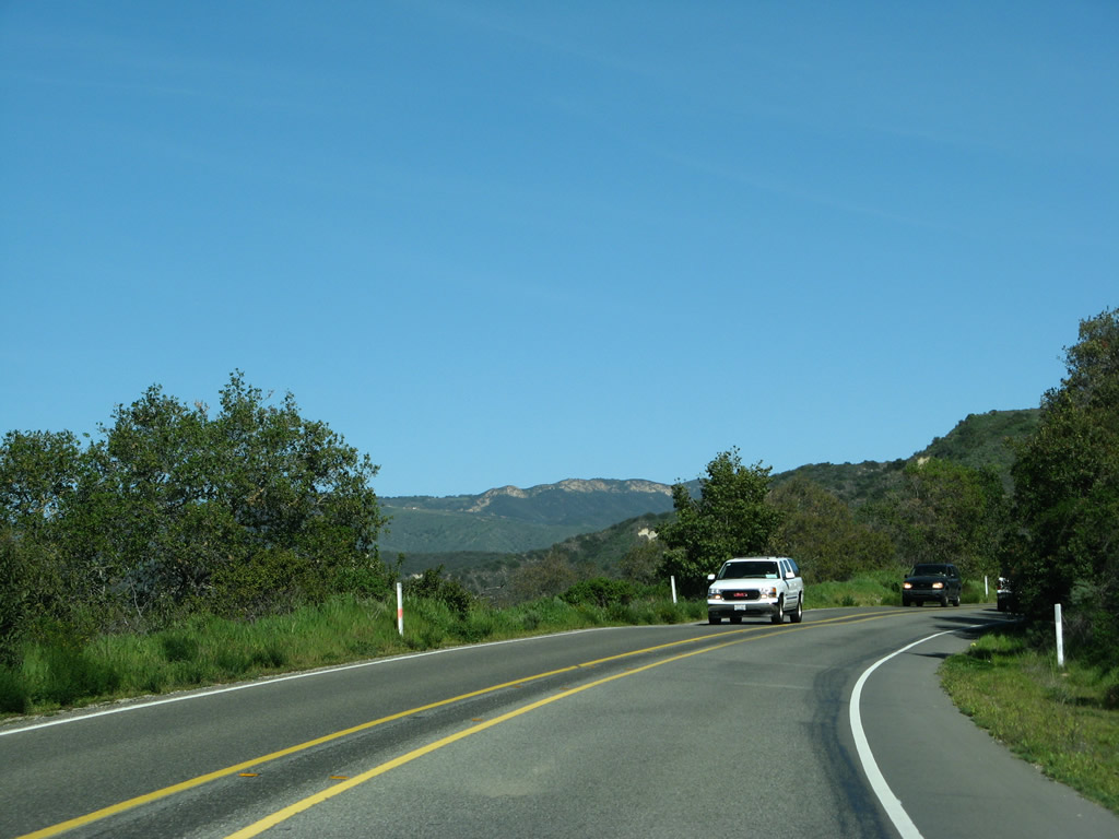
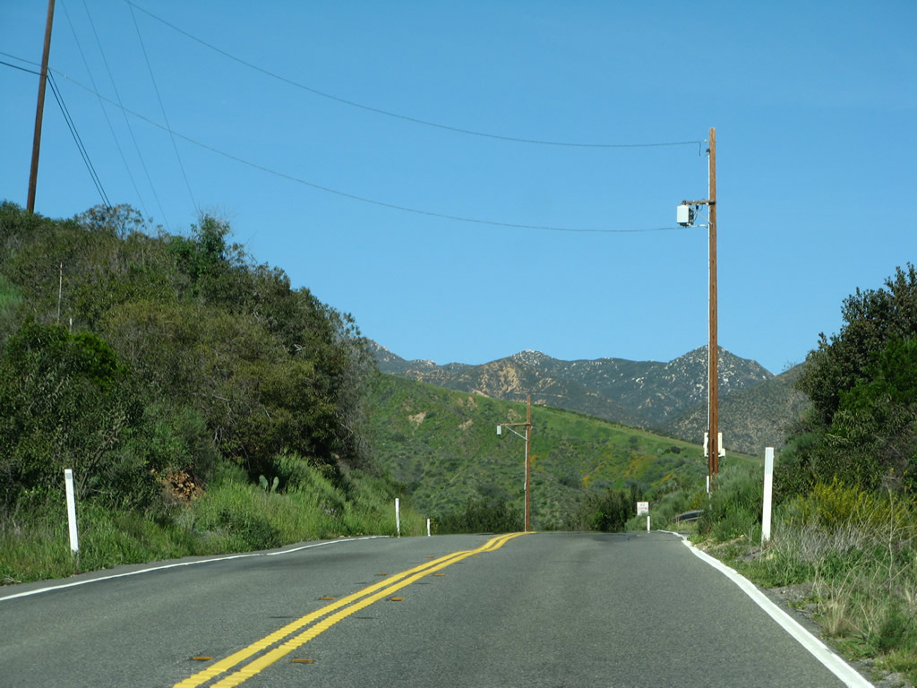
Leaving the Antonio Parkway intersection, eastbound California 74 continues through a future urbanizing area toward national forest lands. The two-lane highway can be fairly busy and is a safety corridor, so headlights are required during all hours of day for the next 14 miles. Photo taken 03/09/08. |
|
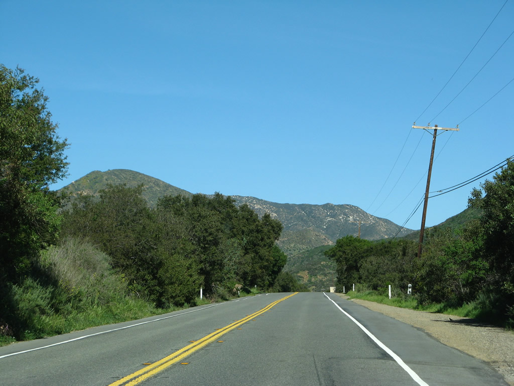
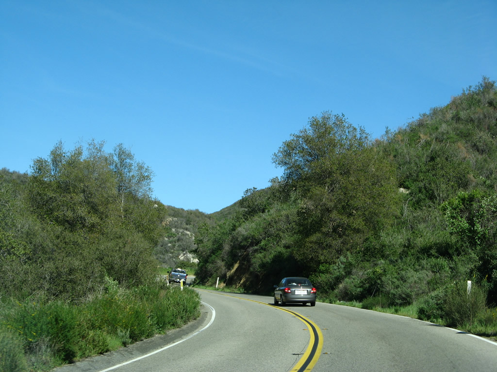
California 74 (Ortega Highway) will follow San Juan Creek northeast toward San Juan Canyon. The state route will ascend the Santa Ana Mountains to a summit at El Cariso, then descend to Lake Elsinore. This scenic corridor is largely protected east of San Juan Hot Springs as part of the Cleveland National Forest. Photo taken 03/09/08. |
|
Watch for sharp curves with limited sight distance along California 74 (Ortega Highway). Photo taken 03/09/08. |
|
A healthy rain year brought green colors to the countryside in late winter. Photo taken 03/09/08. |
|
A tall power line crosses over California 74 (Ortega Highway). Photo taken 03/09/08. |
|
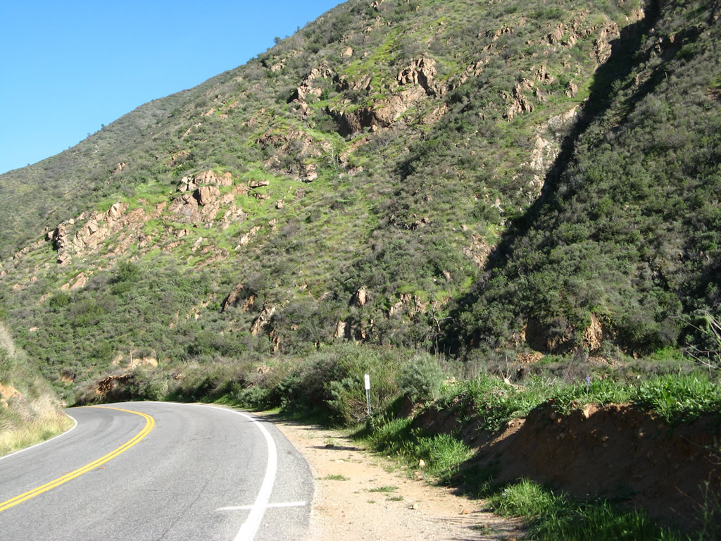
To keep the two directions of traffic separated, the double yellow line is wider than normally seen on other two-lane highways. Photo taken 03/09/08. |
|
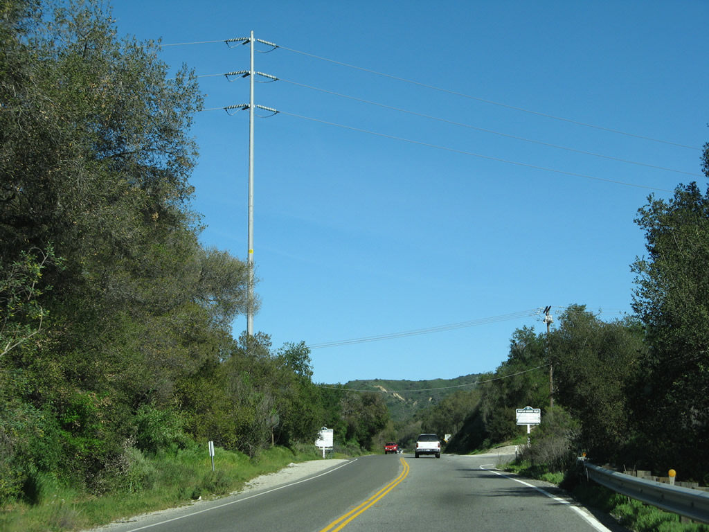
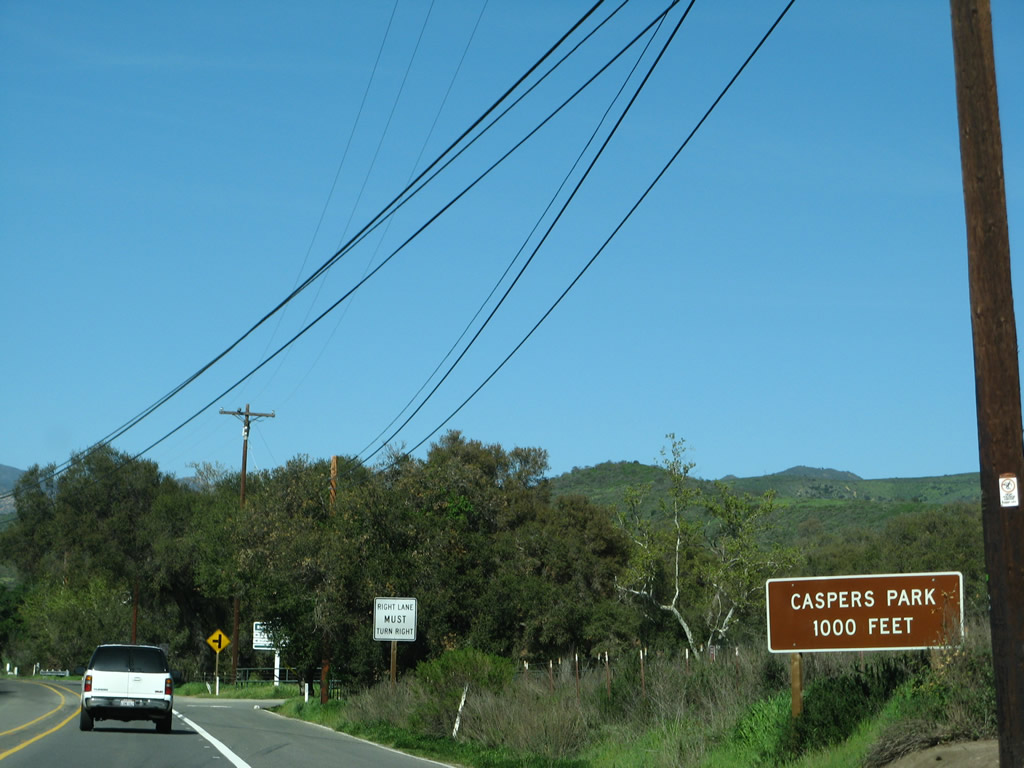
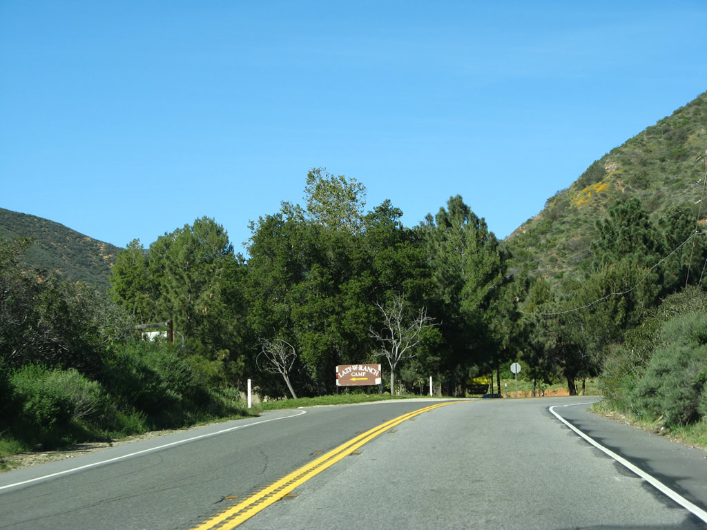
Eastbound California 74 (Ortega Highway) approaches the turnoff to Ronald W. Caspers Wilderness Park. From here to a point southwest of San Juan Hot Springs, California 74 will travel almost exclusively north. Photo taken 03/09/08. |
|
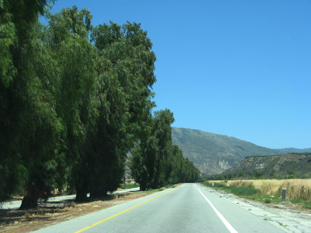
This view looks north along California 74 (Ortega Highway). Photo taken 03/09/08. |
|
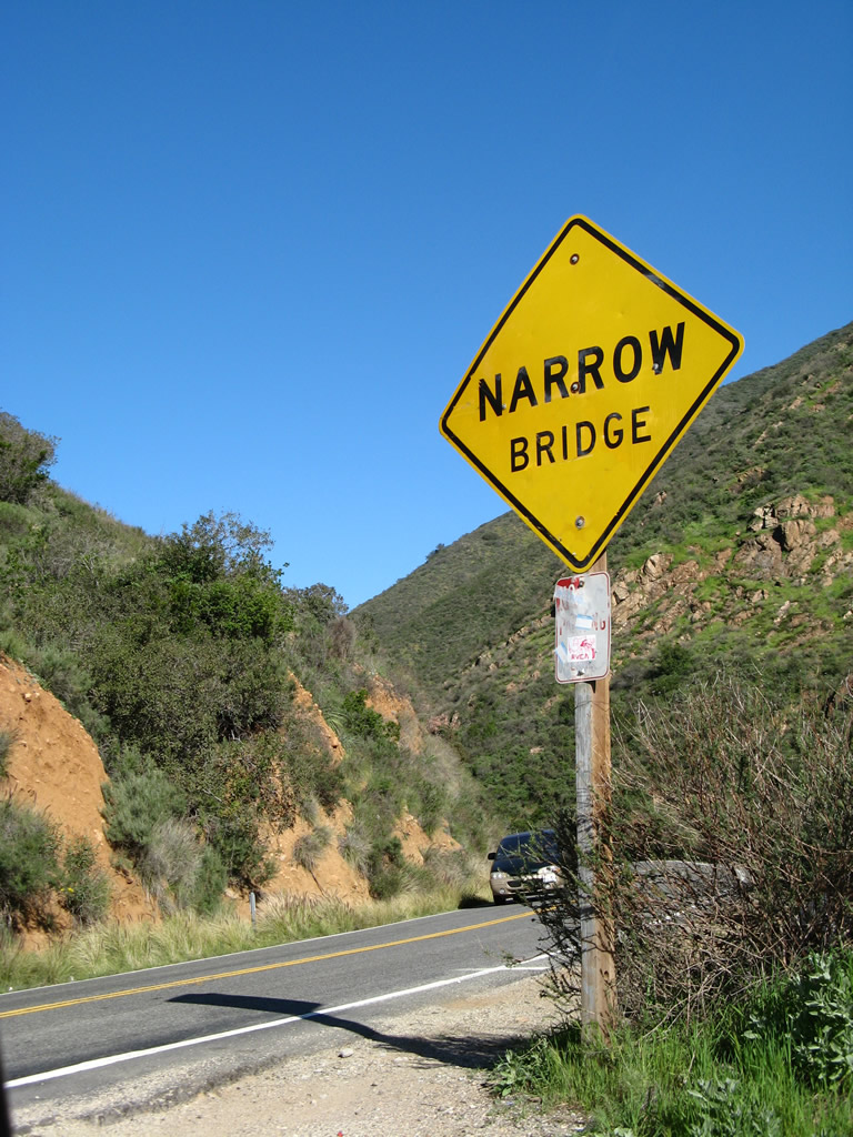
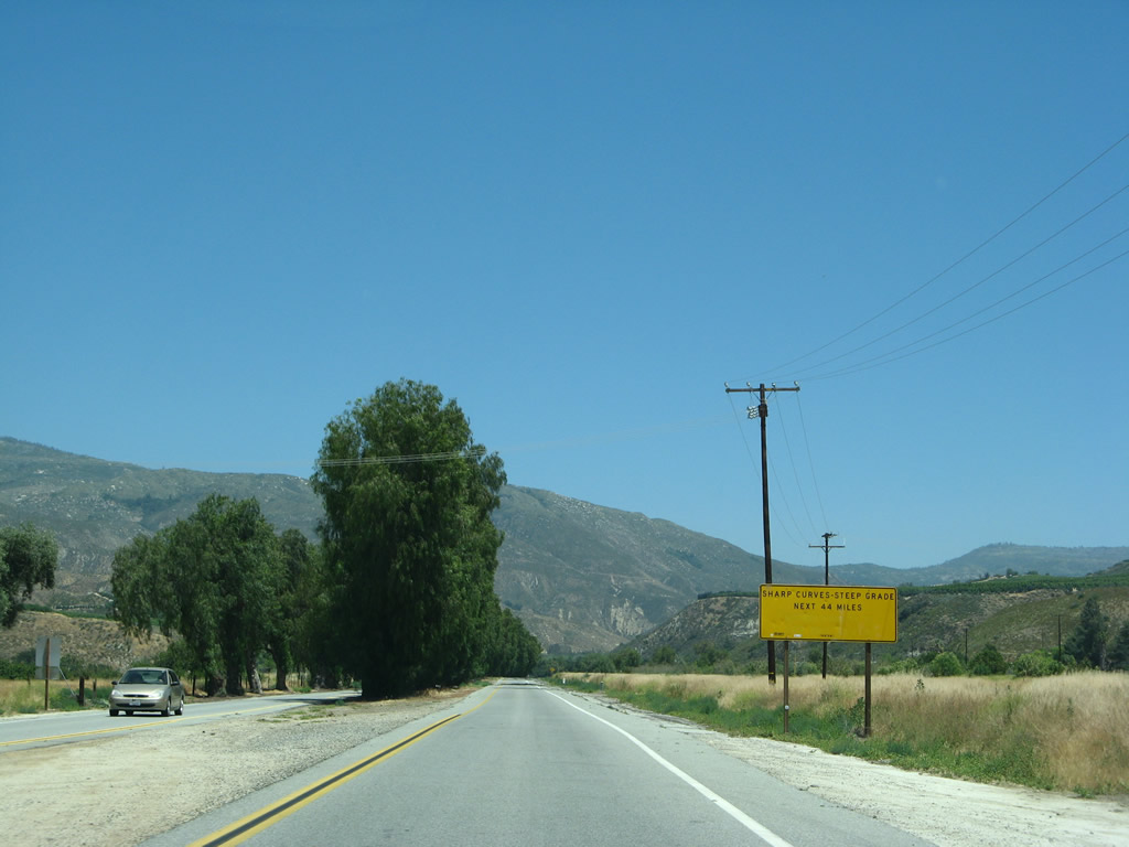
Due to the nature of the highway ahead, a yellow caution sign advises that the road ahead is narrow with limited sight distances and thus causes a truck restriction. Photo taken 03/09/08. |
|
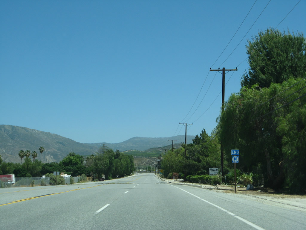
At this intersection, California 74 (Ortega Highway) east meets the entrance to the Nichols Institute. Photo taken 03/09/08. |
|
|
|
|
|
| With the wet winter, the distant foothills not only have green vegetation but also have a hint of color from flowering plants, including the state flower (California poppy). Other common plants include chapparal, sagebrush, and oak trees. Photos taken 03/09/08. |
|
|
|
|
|
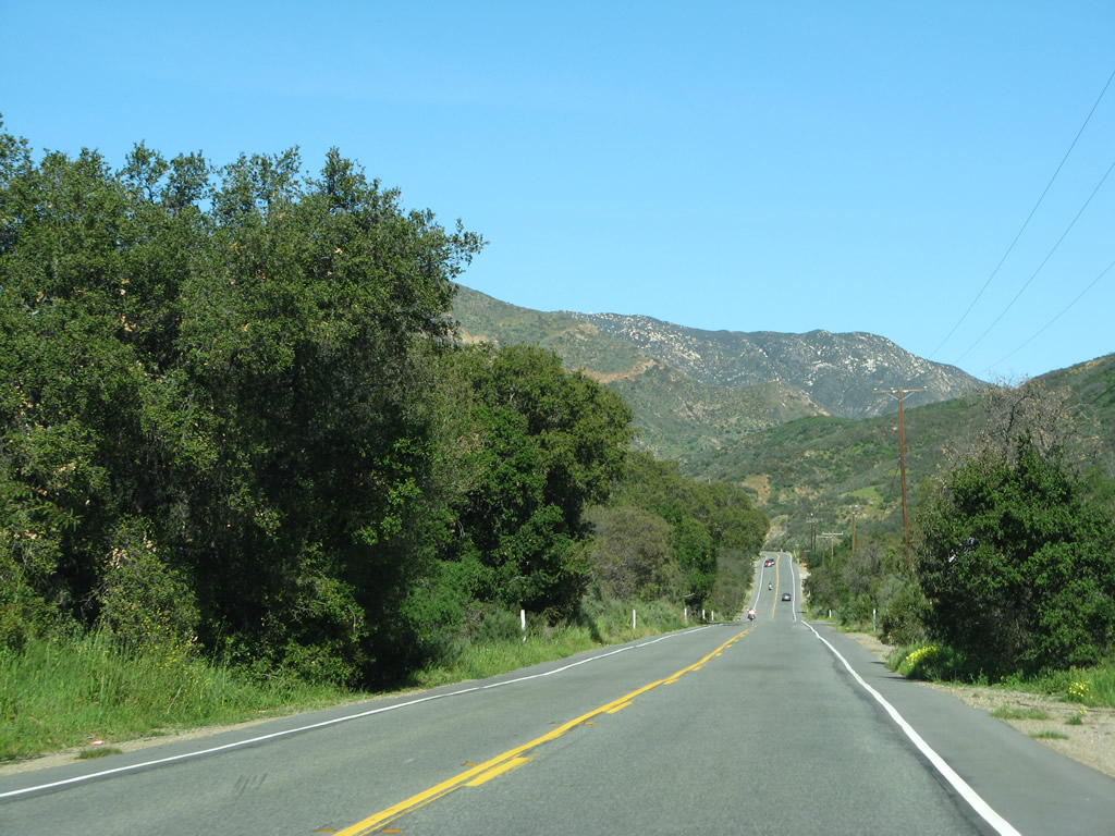
| California 74 proceeds through San Juan Hot Springs and sees a few final areas of development before the state route enters the national forest. Photos taken 03/09/08. |
|
|
|
|
|
| California 74 enters Cleveland National Forest (established July 1, 1908, by President Theodore Roosevelt). With units located also in San Diego and Riverside Counties, Cleveland National Forest covers some of the last wilderness located close to the coast in Southern California. Ahead, California 74 enters beautiful San Juan Canyon. At the end of this series, California 74 crosses a concrete deck arch bridge over San Juan Creek/Canyon that was constructed in 1929. Photos taken 03/09/08. |
|
|
|
|
|
| California 74 crosses a concrete deck arch bridge over San Juan Canyon. This historic bridge was constructed in 1929 and features unique concrete bridge railing. Photos taken 03/09/08. |
|
|
|
|
|
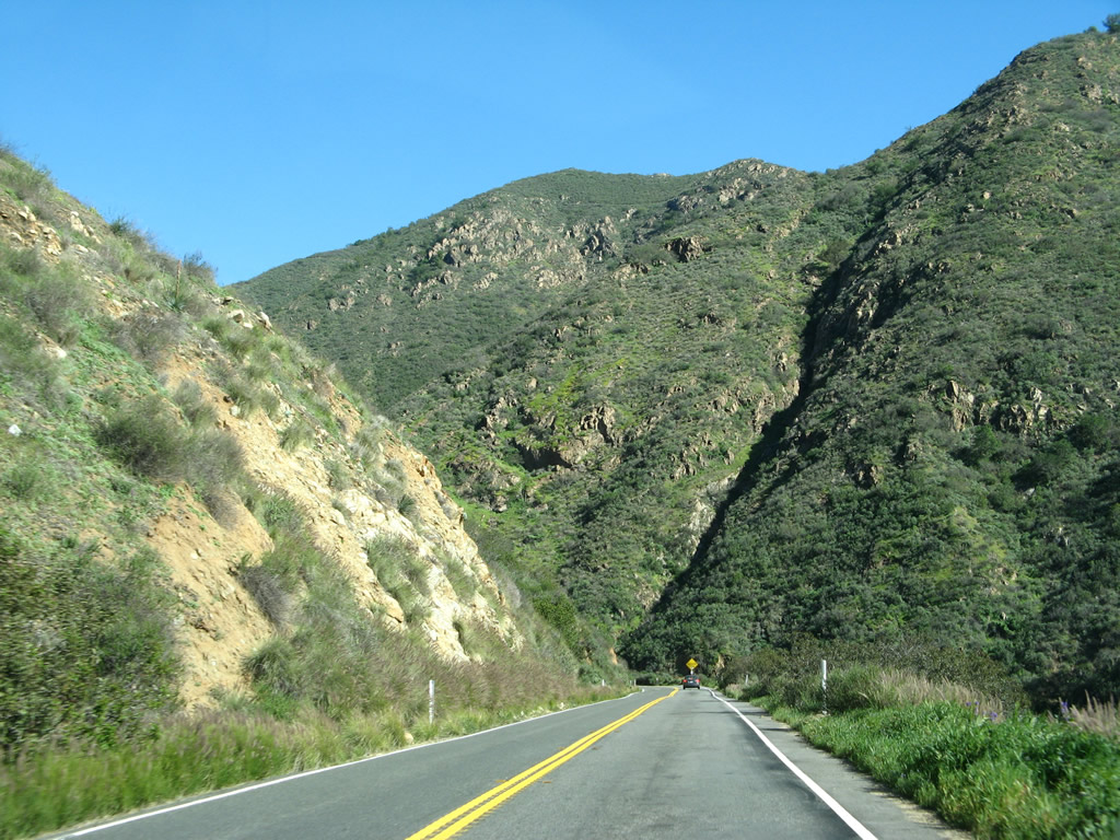
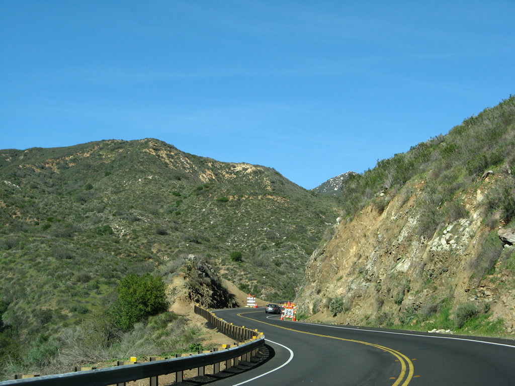
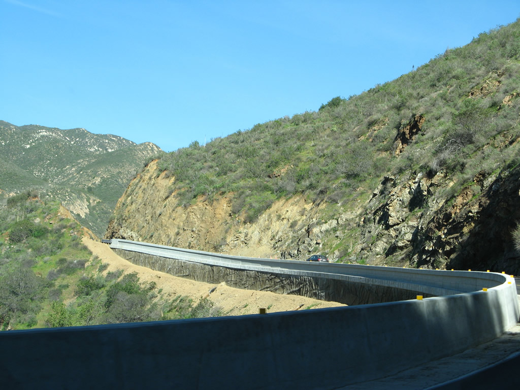
| Within San Juan Canyon, California 74 starts to gain elevation toward the Orange-Riverside County line and El Cariso. Improvements to the state route were made around the time these pictures were taken, and the result was safety improvements and railing to keep vehicles on the road. Photos taken 03/09/08. |
|
|
|
|
|
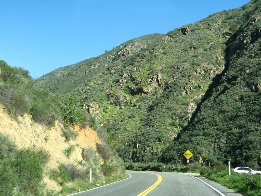
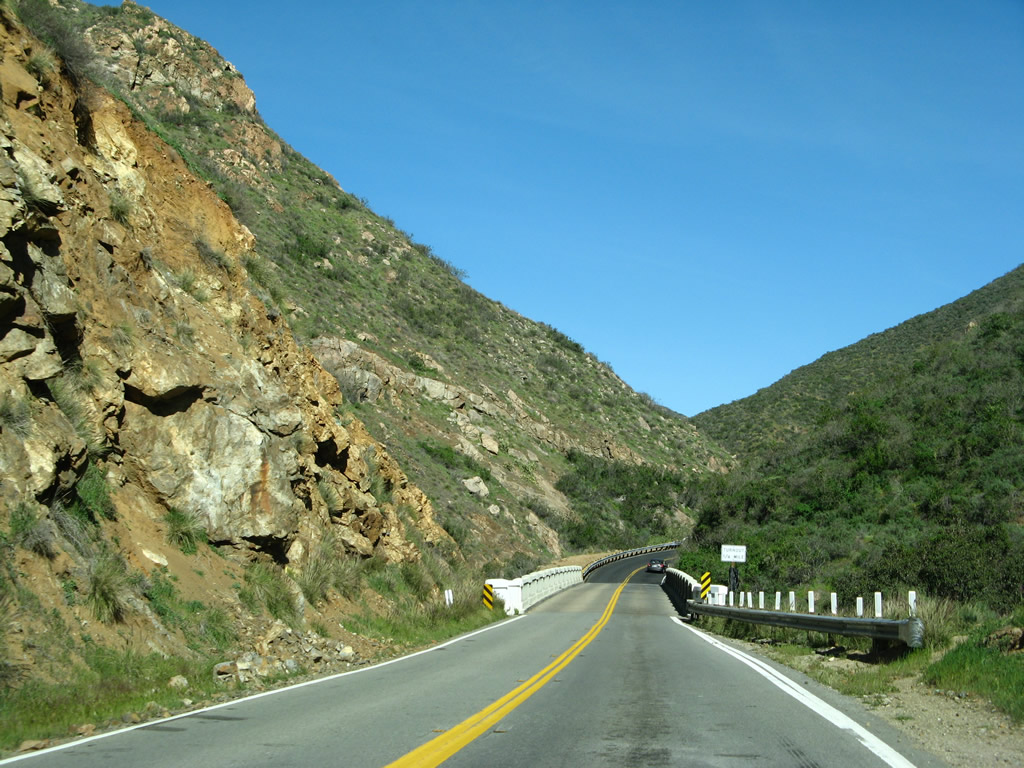
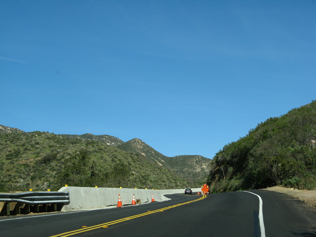
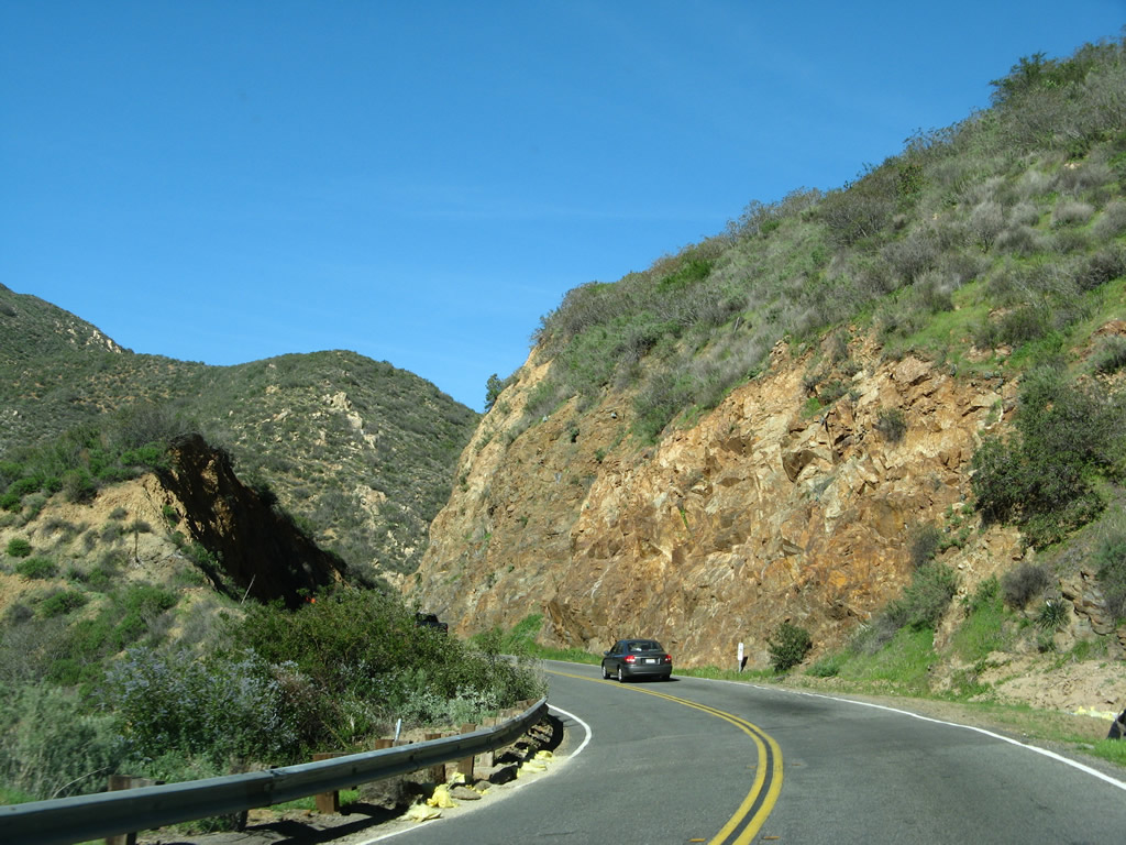
| This series of pictures follows California 74 (Ortega Highway) through a section of canyon that had not yet been upgraded with the latest safety improvements (unlike the section shown previously). This set of pictures takes us almost to the Orange-Riverside County line. Photos taken 03/09/08. |
|
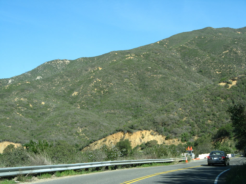
Nearing the top of San Juan Canyon, California 74 leaves Orange County and enters Riverside County (population 2,189,641 as of the 2010 Census). Ahead, California 74 will continue through the Cleveland National Forest toward El Cariso. Photo taken 03/09/08. |
|
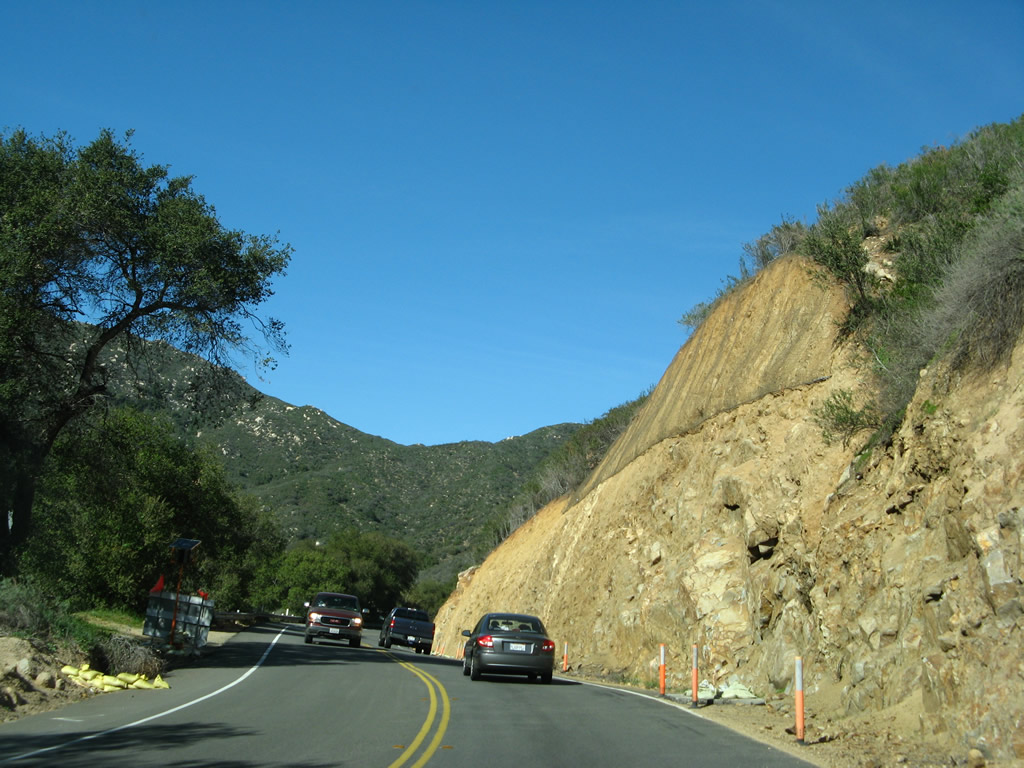
Another sign warns of the winding, twisting road with limited sight distance. Photo taken 03/09/08. |
|
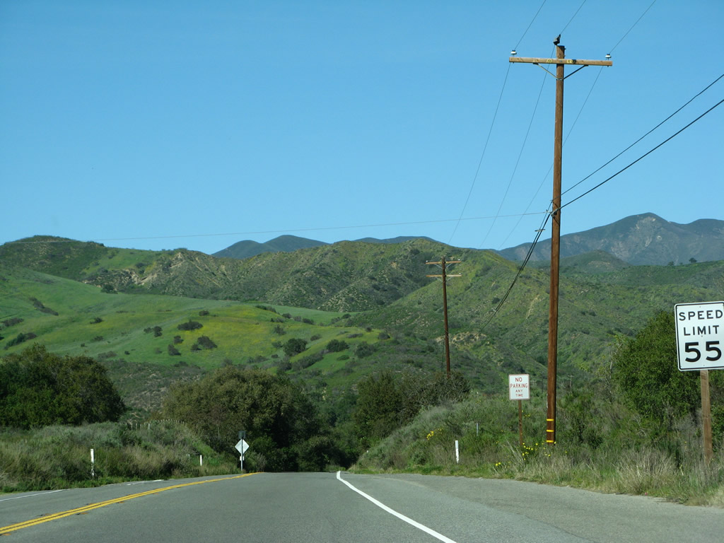
California 74 continues to gain elevation as it proceeds uphill. Photo taken 03/09/08. |
|
With the Santa Ana Mountains to the north and the Elsinore Mountains to the south, California 74 approaches the turnoff for Ortega Country. Photo taken 03/09/08. |
|
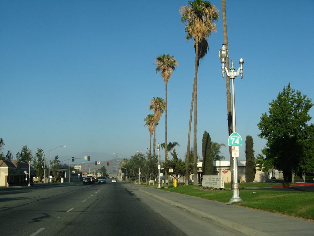
Skipping ahead (past El Cariso and Lake Elsinore), California 74 passes through downtown Perris. Home to 46,600 people as of the 2000 Census, Perris sits at an elevation of 1,453 feet and consists of 31.5 square miles. This shield is posted after the D Street intersection in front of the school administration building. Photo taken 07/15/07. |
|
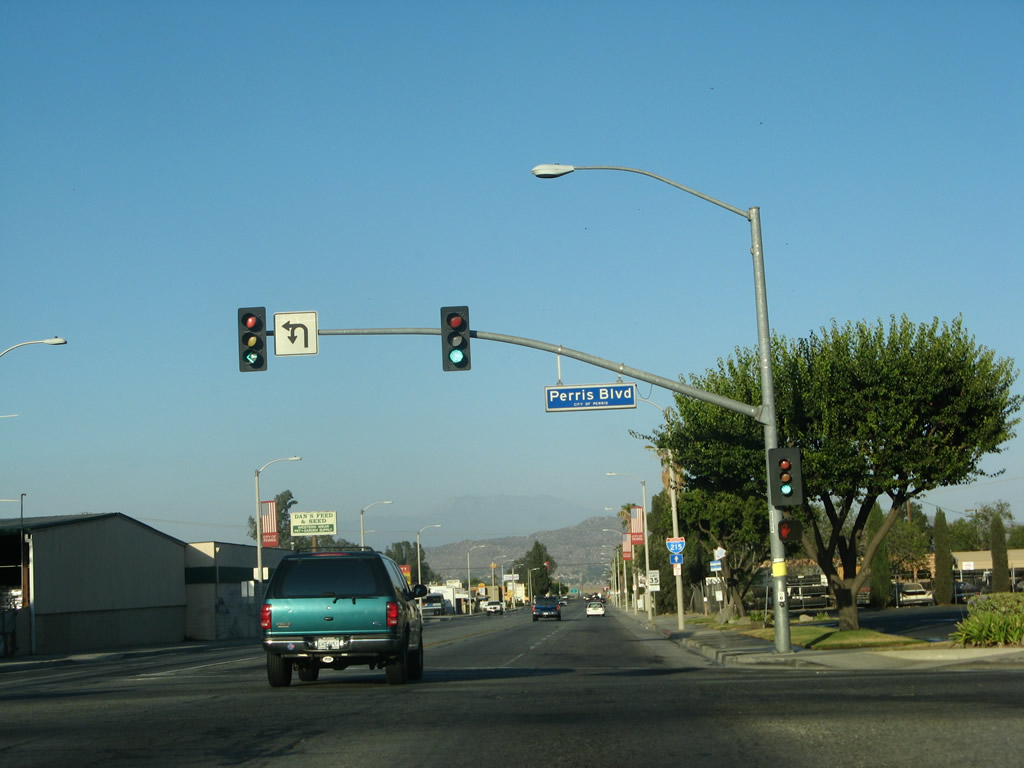
Eastbound California 74 meets Perris Boulevard at this signalized intersection. Photo taken 07/15/07. |
|
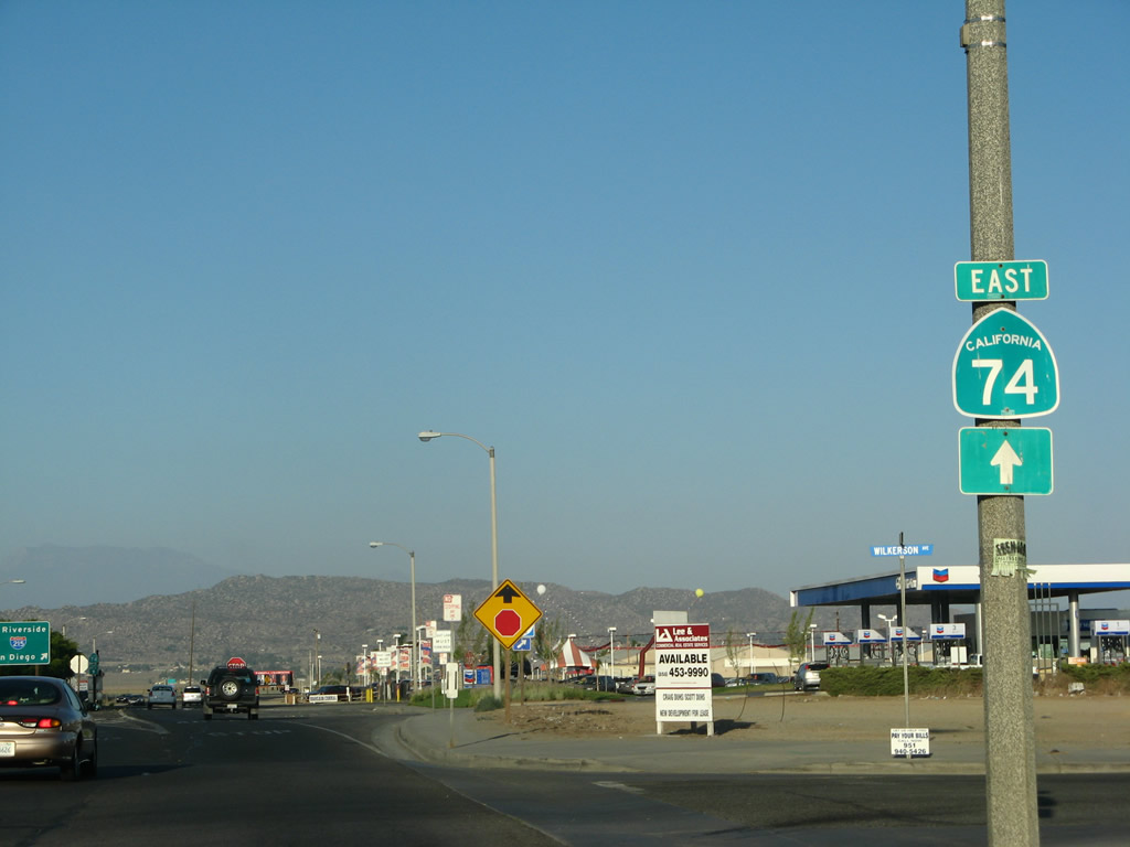
An Interstate 215 trailblazer is posted on California 74 (Fourth Street) east after the Perris Boulevard intersection. Photo taken 07/15/07. |
|
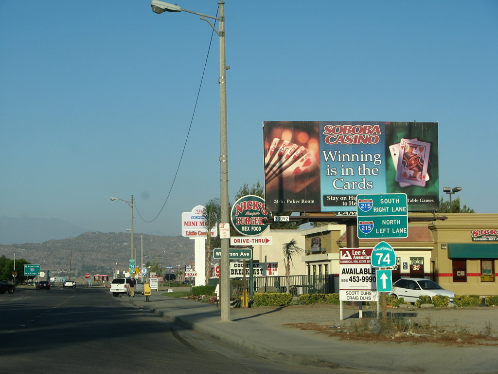
A massive casino billboard overshadows a small set of trailblazer signs for the pending junction with Interstate 215. Use the left lane to Interstate 215 north to Moreno Valley and Riverside. Use the right lane to Interstate 215 south to Sun City, Murrieta, and Temecula. California 74 will briefly merge onto Interstate 215 south. Photo taken 07/15/07. |
|
A second California 74 trailblazer is posted to advise that California 74 east and Interstate 215 south will merge together. Photo taken 07/15/07. |
|
At the gore point is this Interstate 215 sign indicating the northbound and southbound control cities (Riverside and San Diego). Photo taken 07/15/07. |
|
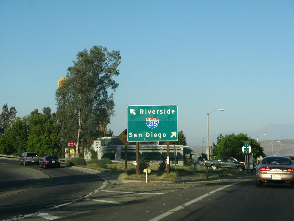
A rare Interstate 215 south and California 74 east freeway entrance shield assembly is posted after a stop sign at Redlands Avenue. The two routes will remain merged for a couple miles, then separate. Photo taken 07/15/07. |
| California 74 east & 79 north |
|
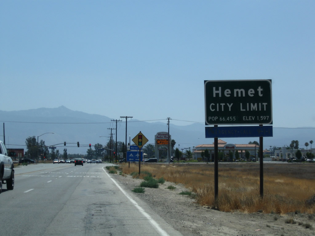
About six miles east of the split from Interstate 215 and about two miles east of unincorporated Homeland, California 74 and California 79 merge together for the approximately six-mile journey from the Winchester Road intersection east to the San Jacinto Street intersection in downtown Hemet. A bypass of California 79 can be achieved by taking Sanderson Avenue north, but not all of Sanderson Avenue is part of the state highway system. Photo taken 06/27/09. |
|
Portions of the shared segment of California 74 and California 79 along Florida Avenue have four lanes. Photo taken 06/27/09. |
|
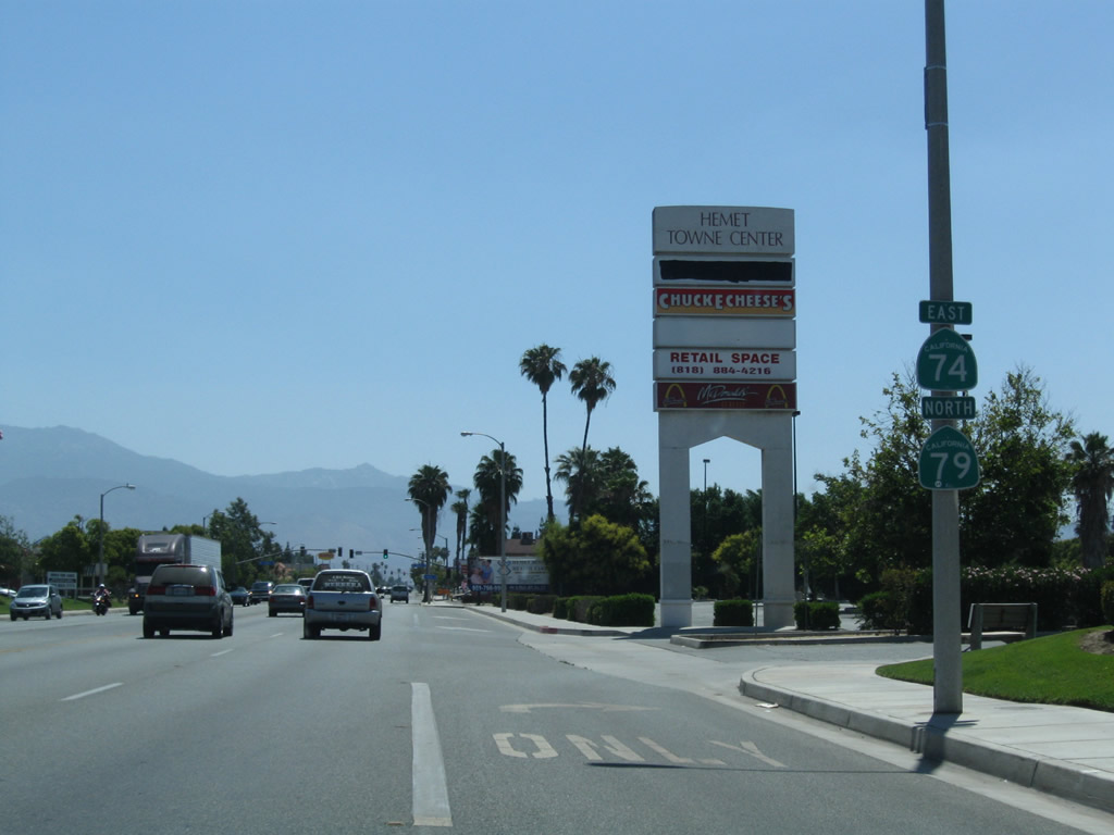
Eastbound California 74 and northbound California 79 enter the city of Hemet, which had a population of 78,657 as of the 2010 Census and incorporated on January 20, 1910. The next signalized intersection is with north-south Warren Road, which follows the western edge of the San Jacinto valley. Photo taken 06/27/09. |
|
About a mile and half east, California 74 and California 79 approach Sanderson Avenue. Through traffic en route to California 79 north to Beaumont is best served to turn left here and follow Sanderson Avenue north to bypass downtown Hemet and San Jacinto. Photo taken 06/27/09. |
|
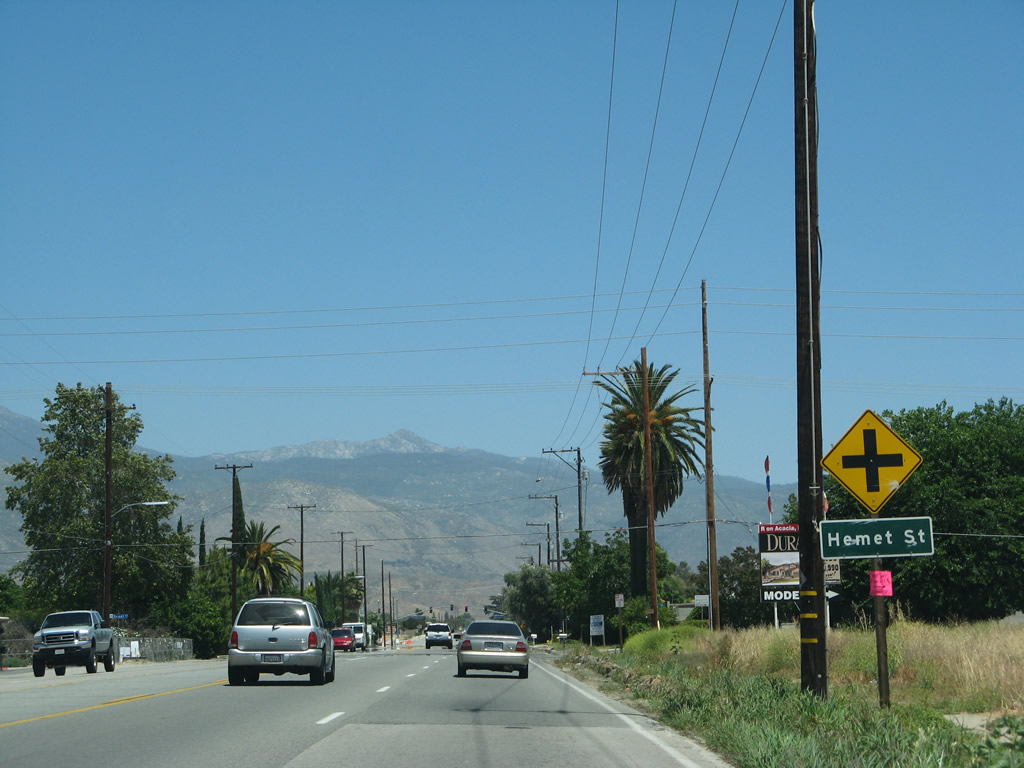
A pair of California 74 and California 79 route markers is posted just east of the Kirby Street intersection in Hemet. Photo taken 06/27/09. |
|
Eastbound California 74 and northbound California 79 meet Riverside County R-3 (State Street) at this intersection. Turn right on Riverside County R-3 (State Street) to Aguanga and Warner Springs via California 79 south. CR R-3 is a more direct, yet winding route between Hemet and Aguanga than California 79 itself, as it avoids/stays to the east of the vicinity of Temecula and Murrieta. Turn left for State Street north for another alternative route north in lieu of the California 79 alignment. Photo taken 06/27/09. |
|
Another California 74 and California 79 shield assembly is posted after the intersection with Riverside County R-3 (State Street). Photo taken 06/07/08. |
|
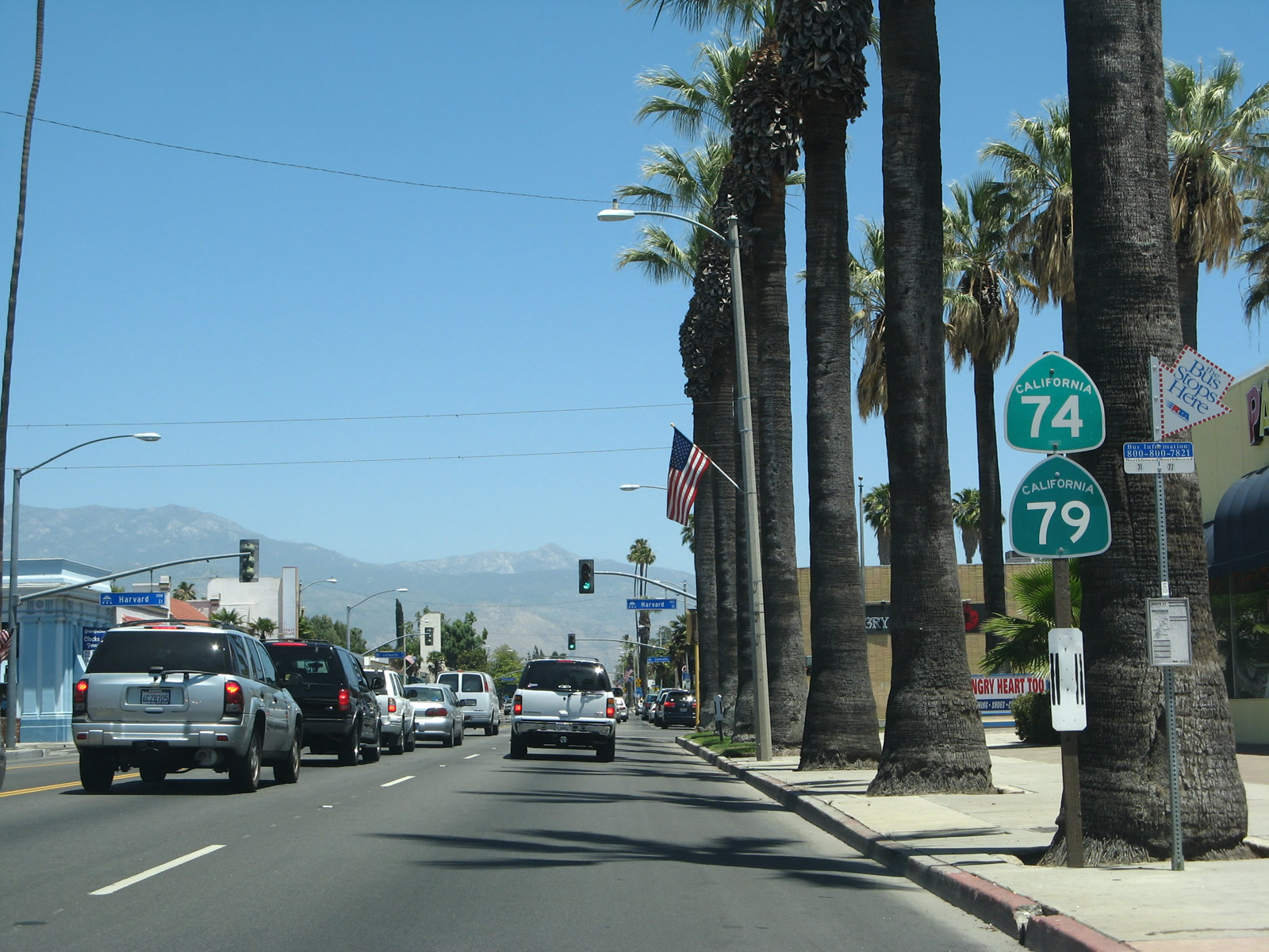
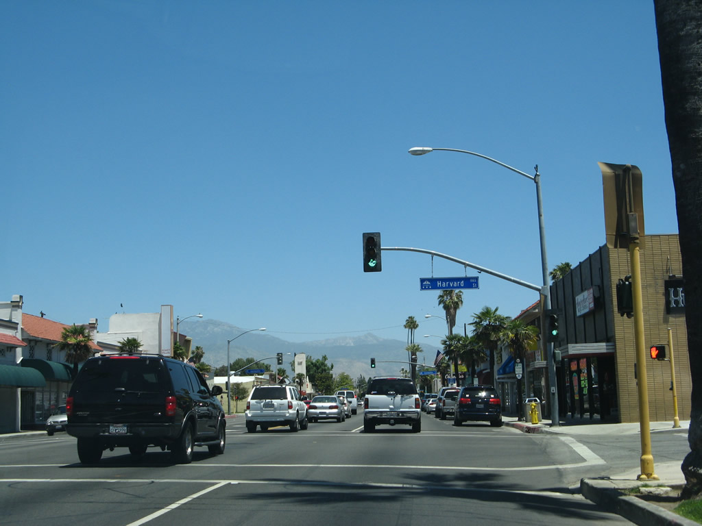
California 74 and California 79 meet Harvard Street at this signalized intersection. Photo taken 06/07/08. |
|
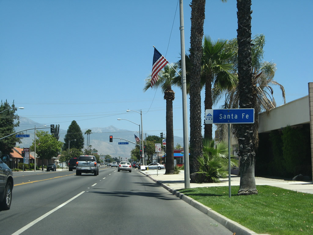
Eastbound California 74 and California 79 meet Santa Fe Street at this traffic signal. Photo taken 06/07/08. |
|
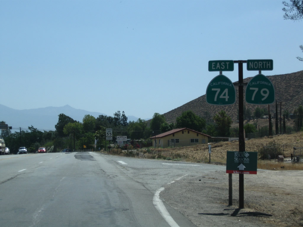
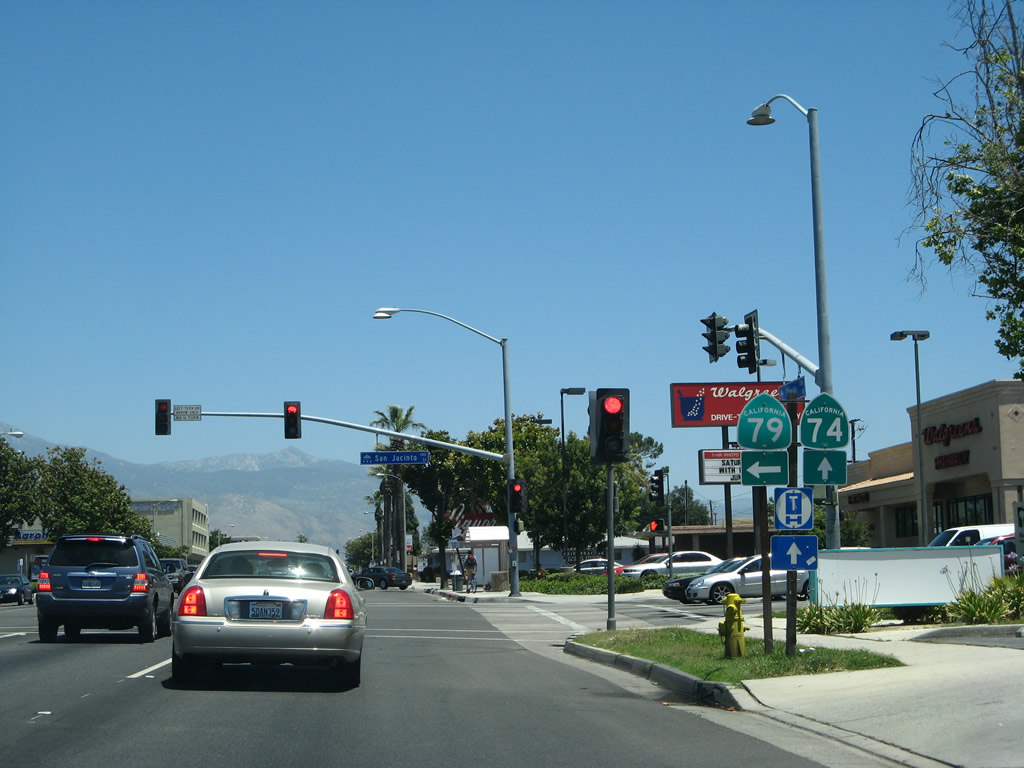
California 74 east and California 79 north prepare to split at the intersection with San Jacinto Street. California 79 will turn left here to resume its northward journey toward San Jacinto and Beaumont. California 74 will proceed east out of Hemet and into the national forest en route to Mountain Center, Idyllwild (via a California 243 connection), and ultimately Palm Desert. Photo taken 06/07/08. |
|
The routes divide at San Jacinto Street. California 74 continues ahead along Florida Avenue, while California 79 turns north onto San Jacinto Street. Photo taken 06/07/08. |
| California 74 east |
|
After splitting from California 79, eastbound California 74 proceeds west along Florida Avenue through eastern Hemet. Here, California 74 (Florida Avenue) east approaches Columbia Street. Photo taken 06/07/08. |
|
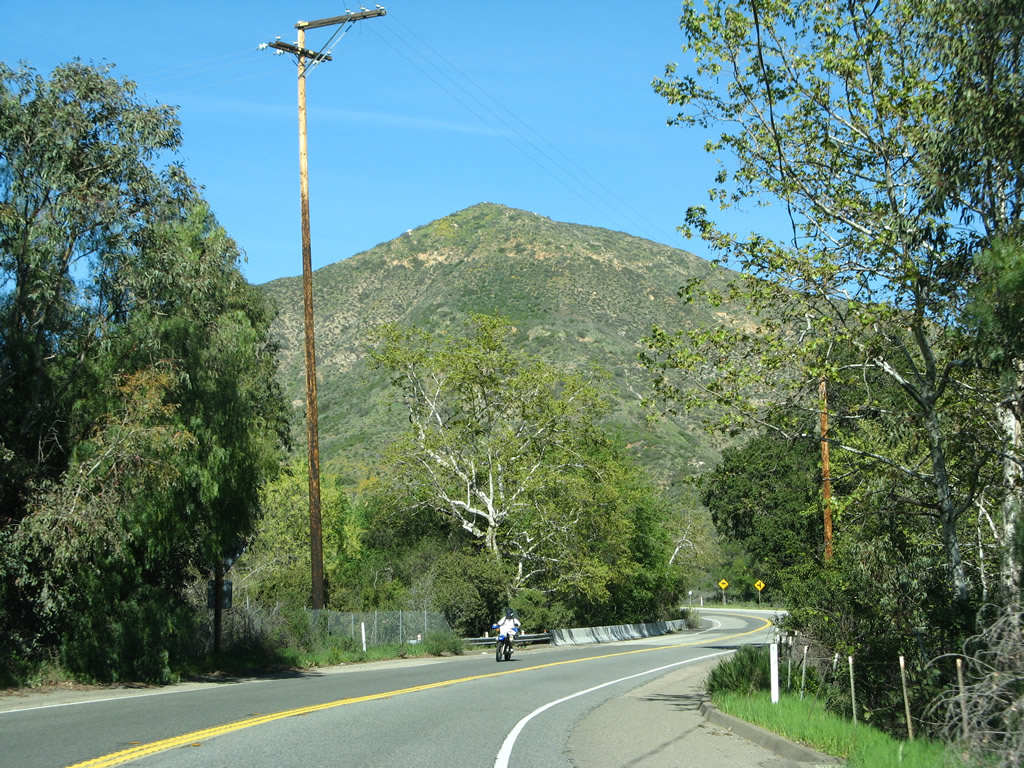
Mt. San Jacinto rises tall above its namesake valley. Development along California 74 lessens as we approach the national forest boundary. Photo taken 06/07/08. |
|
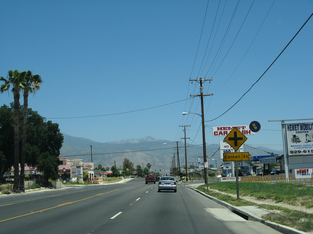
Eastbound California 74 approaches Cornell Street. Photo taken 06/07/08. |
|
California 74 east approaches Stanford Street. Photo taken 06/07/08. |
|
Eastbound California 74 approaches Hemet Street. Photo taken 06/07/08. |
|
Mountain scenery looms as eastbound California 74 meets Soboba Street. Photo taken 06/07/08. |
|
Eastbound California 74 approaches its intersection with New Chicago Avenue. Photo taken 06/07/08. |
|
The next left turn from California 74 is the Ramona Expressway (Mountain Avenue). Turn left to follow the expressway northwest to Soboba Indian Reservation. Photo taken 06/07/08. |
|
Both Mountain Avenue and Ramona Expressway are signed from eastbound California 74. Ramona Expressway travels northwest from this intersection as a four-lane highway with somewhat limited intersections along its route. After a brief merge with California 79, the Ramona Expressway curves to the west to meet Interstate 215 at Exit 22. While significant segments of the Ramona Expressway are four lanes, portions are only two lanes. Photo taken 06/07/08. |
|
Eastbound California 74 approaches Eighth Street as we enter Valle Vista. Photo taken 06/07/08. |
|
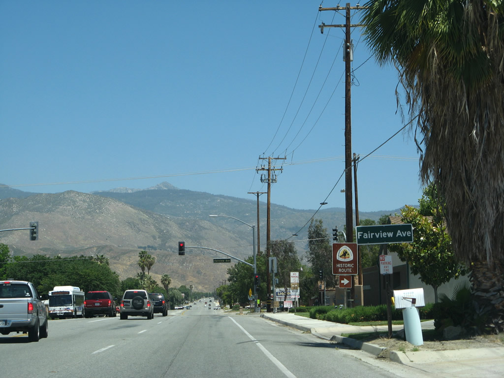
Eastbound California 74 meets Fairview Avenue at this intersection in Valle Vista. Photo taken 06/07/08. |
|
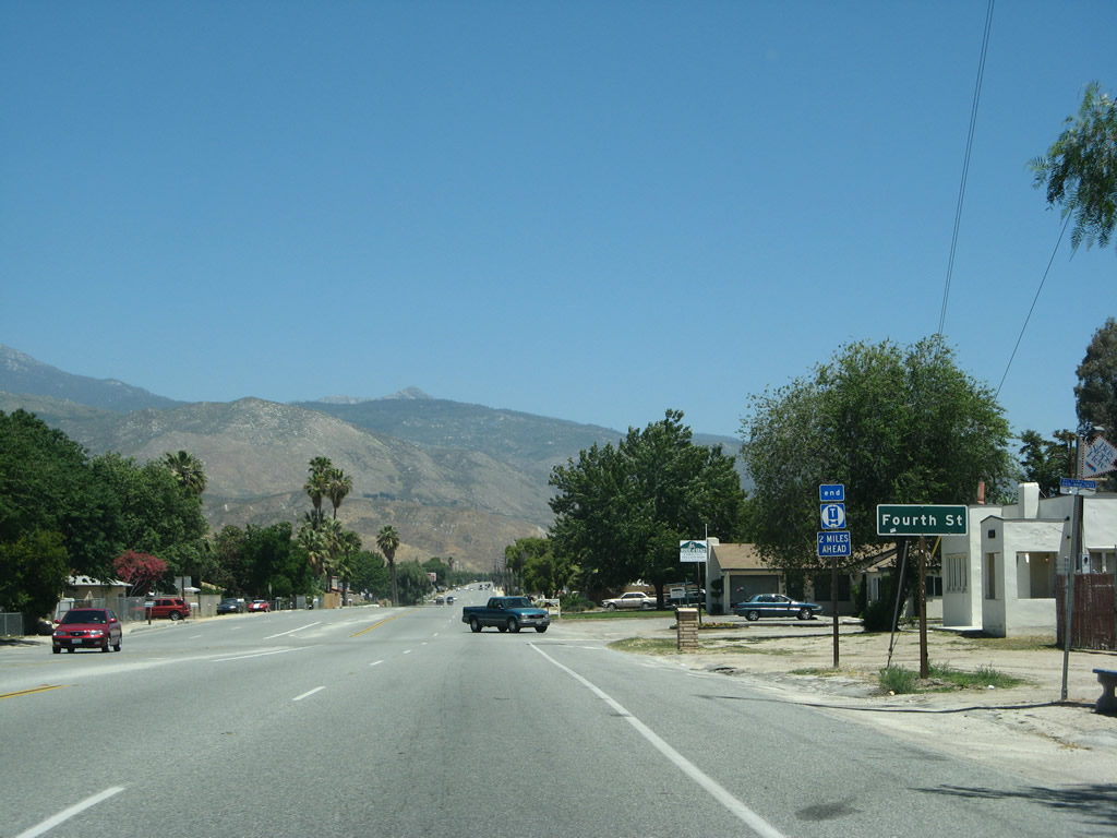
Eastbound California 74 (Florida Avenue) approaches Fourth Street. The truck route will end in two miles. Photo taken 06/07/08. |
|
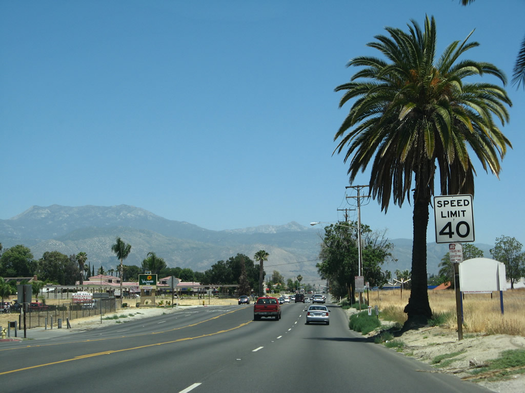
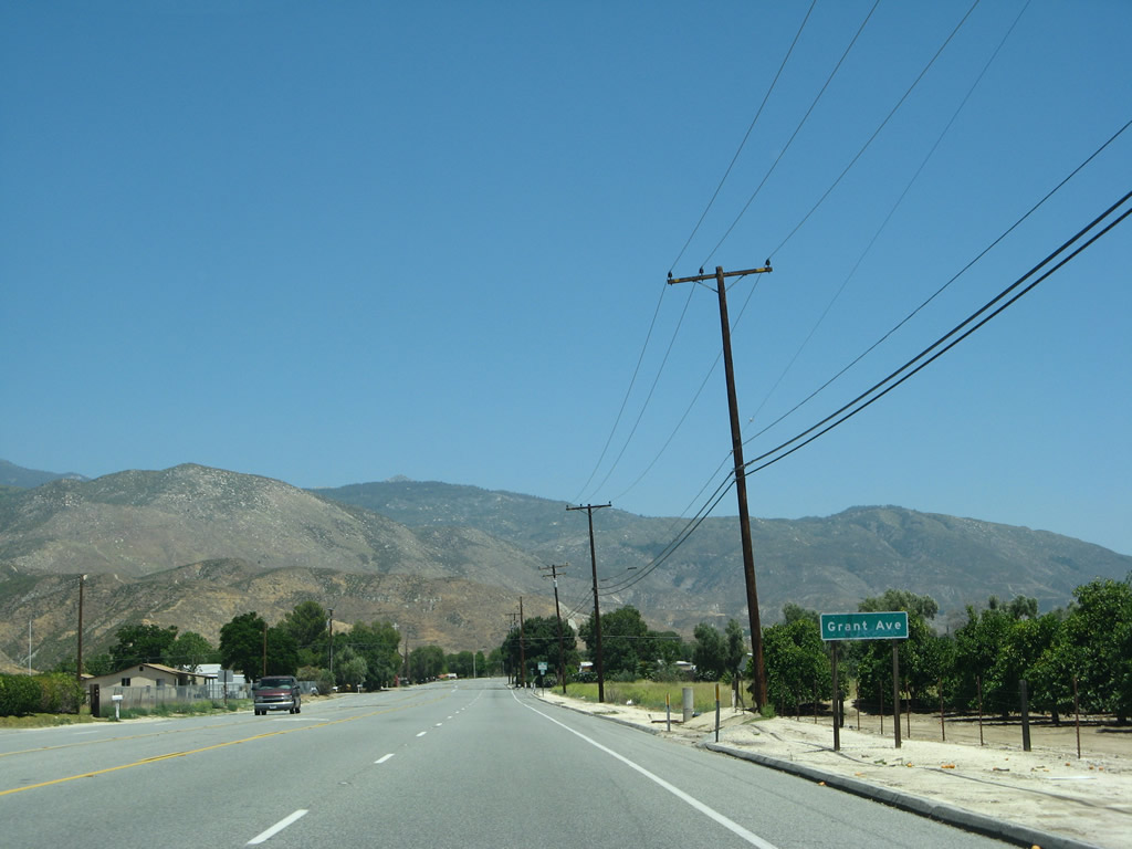
Development becomes less and less common as California 74 passes by increasingly rare orchards and ranch homes. Photo taken 06/07/08. |
|
After the Georgia Avenue intersection, California 74 loses its truck route status. Photo taken 06/07/08. |
|
|
|
|
|
| As signs begin to advise to the pending change in road conditions, California 74 passes by the last of the suburban style subdivisions that have become increasingly common along the state highway as development has increased in the San Jacinto Valley. The four-lane highway narrows to two lanes. A median strip forms between the two directions of 74, possibly to allow trucks to turn around (as well as preserve some significantly tall median trees). Photos taken 06/07/08. |
|
The tree lined median along California 74 comes to an end shortly thereafter. Ahead are the mountains. Photo taken 06/07/08. |
|
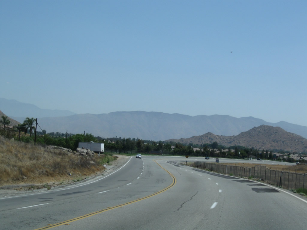
A citrus orchard lies on the south side of California 74 prior to the national forest boundary. We will see some significant changes in the route as we leave the city behind and enter the wilderness of the national forest ahead. Photo taken 06/07/08. |
Page Updated October 17, 2012.