| California 79 south |
|
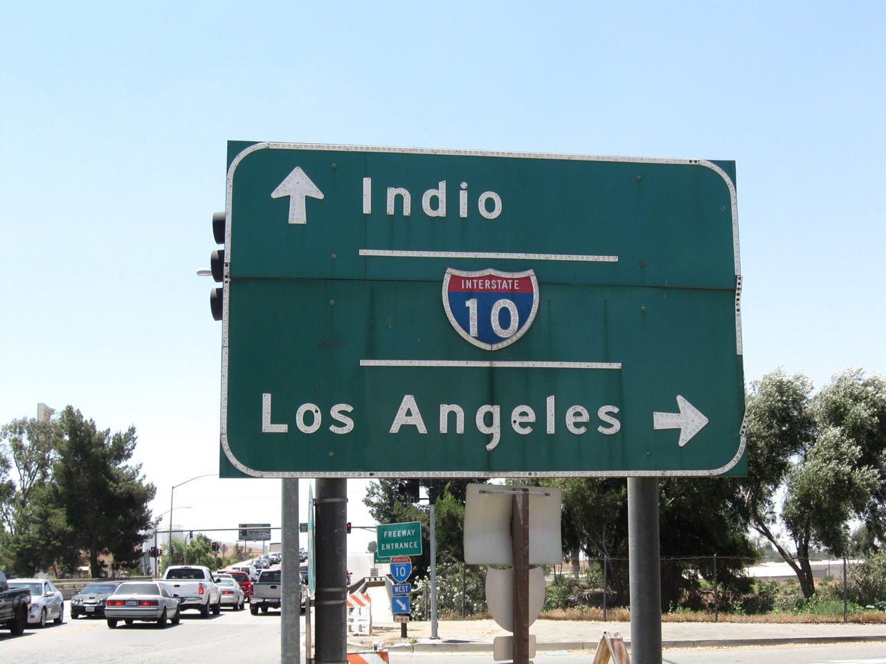
California 79 starts at the Interstate 10 interchange in Beaumont and proceeds south toward San Jacinto Valley, Temecula, and Julian. Photo taken 06/27/09. |
|
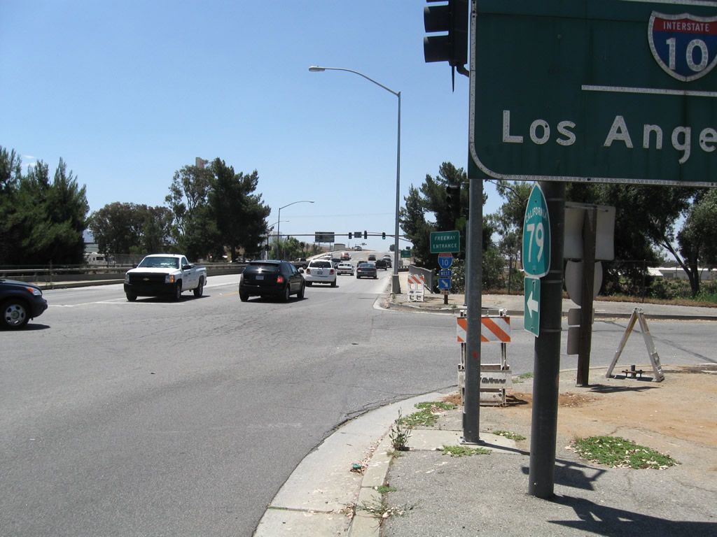
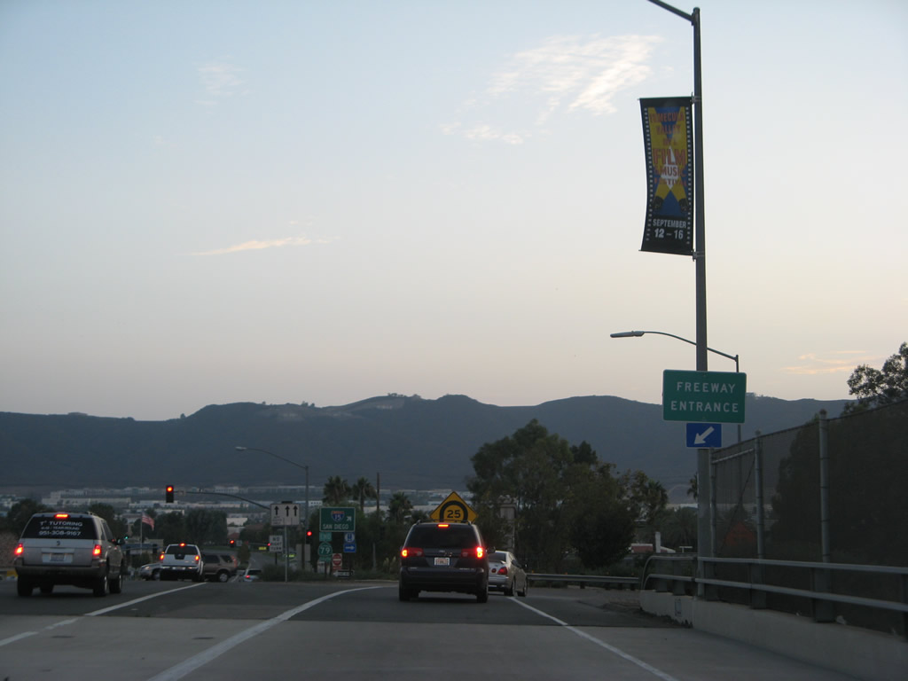
A California 79 trailblazer is mounted below the Interstate 10 guide sign, primarily for the benefit of travelers exiting Interstate 10 westbound at Exit 94. Photo taken 06/27/09. |
|
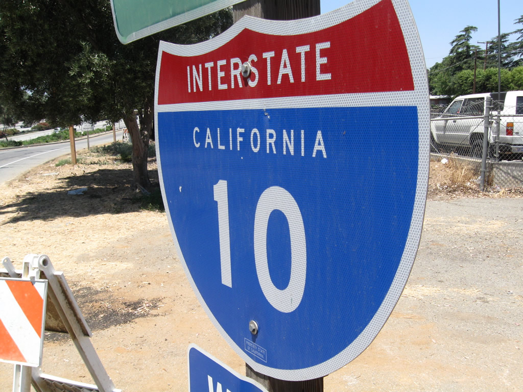
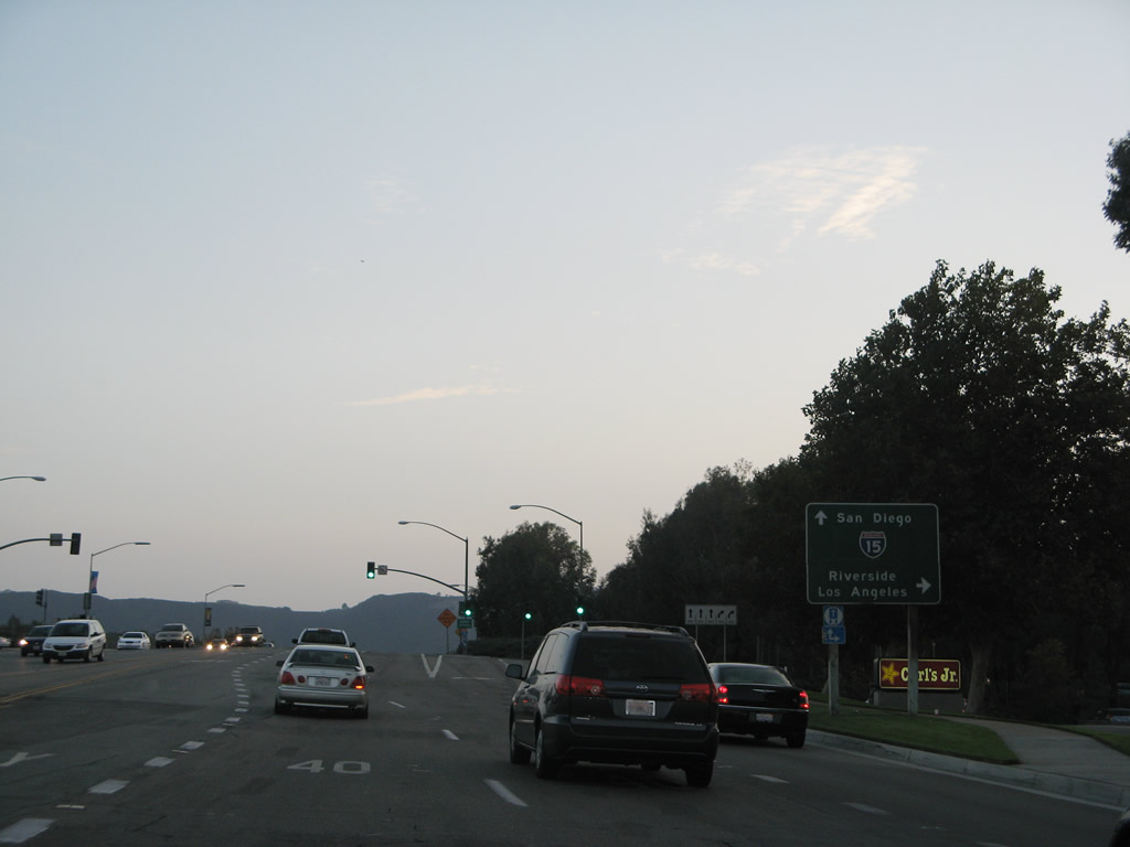
This Interstate 10 freeway entrance shield assembly is posted at the intersection of California 79 south with the on-ramp to Interstate 10 west. Photo taken 06/27/09. |
|
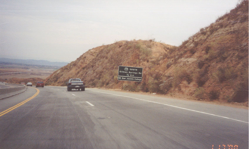
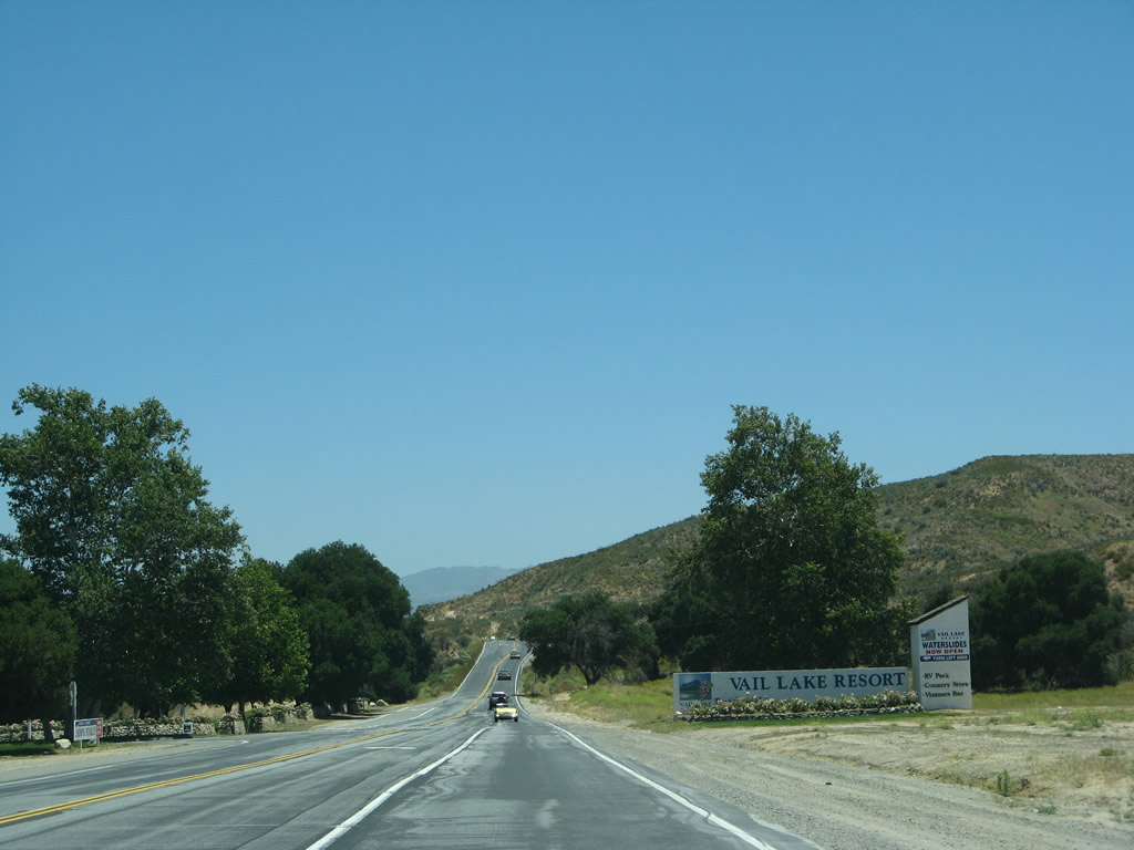
Southbound California 79 (Sanderson Avenue) approaches Gilman Springs Road north of Hemet in rural Riverside County. At the time this picture was taken, California 79 departed the Beaumont Avenue-Sanderson Avenue expressway onto Gilman Springs Road. This changed in July 2002 when California 79 was rerouted onto Sanderson Avenue south and Ramona Expressway southeast. By removing it from the state system, the old alignment of Gilman Springs Road could retain its rural character and avoid road widening typically seen for comparable roadways. This also allows California 79 to avoid the Church of Scientology's Golden Era Studio located along Gilman Springs Road. Photo taken 01/17/00. |
|
Maintained by the city of Temecula, Winchester Road approaches Interstate 15. The first ramp is a right turn to Interstate 15 north to Lake Elsinore, Corona, Ontario, and Barstow. Use Interstate 15 north to Interstate 215 north to Riverside and San Bernardino. The second right-turn ramp is a loop ramp onto Interstate 15 south to old town Temecula and San Diego. Photo taken 08/25/07. |
|
Soon thereafter, southbound California 79 (Winchester Road) meets the loop ramp to Interstate 15 south. California 79 also joins the freeway here; the two routes will merge briefly then separate at the Temecula Parkway interchange, where California 79 will turn southwest toward Warner Springs. Photo taken 08/25/07. |
|
Traveling south on Winchester Road (maintained by the city of Temecula), an end shield is posted for California 79 south as it merges onto Interstate 15 south in Temecula. This shield is placed in error; in reality, California 79 continues south from here via Interstate 15, then splits off after the Old Town/Temecula Parkway exit. Photo taken 08/25/07. |
|
Leaving the Interstate 15 interchange, California 79 (Temecula Parkway) travels due east through Temecula toward Aguanga and Warner Springs. A connection to Indio is afforded via California 79 south, California 371 east, and California 74 east. The section of California 79 between Interstate 15 and the city limits of Temecula is locally maintained by the city of Temecula. Photo taken 06/07/08. |
|
A welcome sign along California 79 (Temecula Parkway) southeast is posted in the median for the city of Temecula. Photo taken 06/07/08. |
|
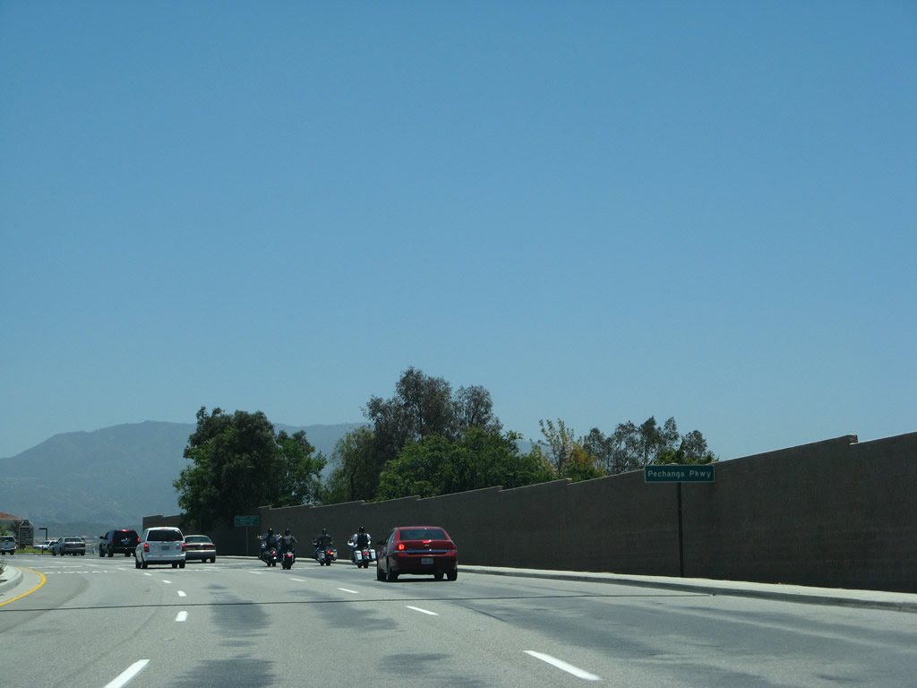
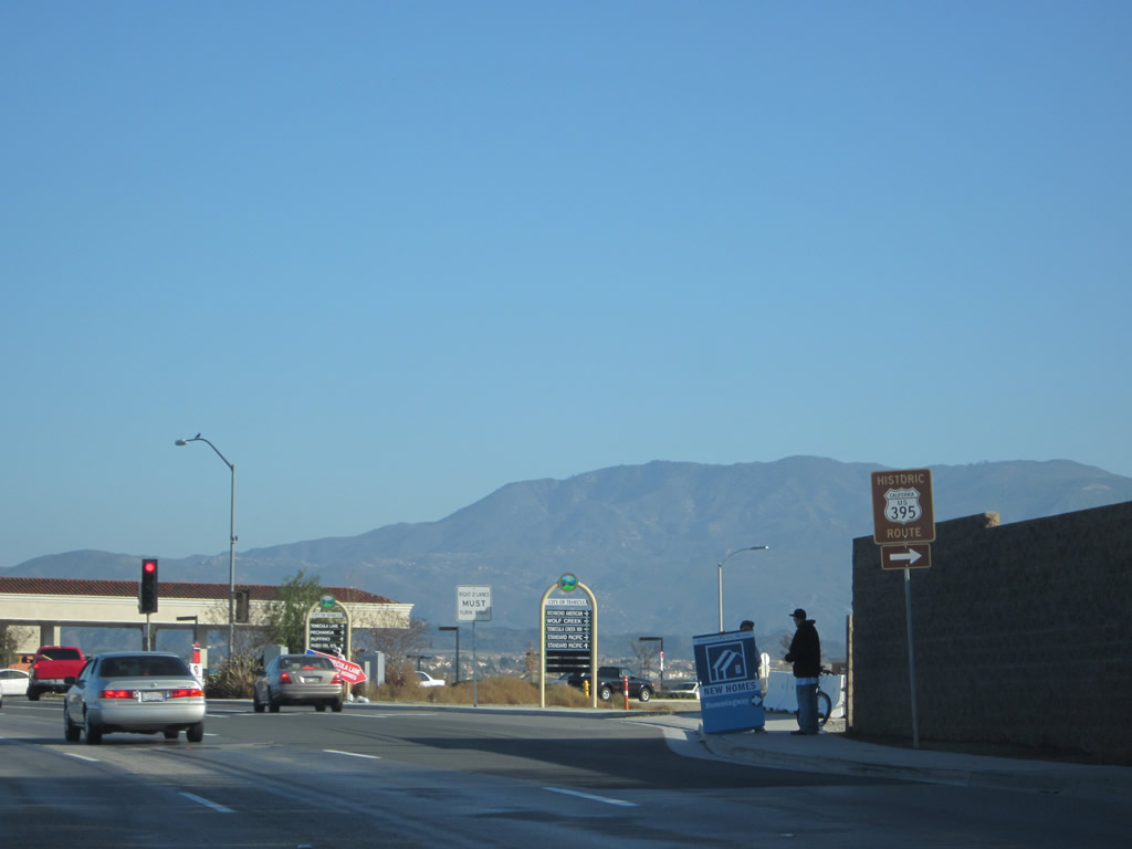
Southbound California 79 (Temecula Parkway) approaches Riverside County S-16 (Pechanga Parkway) and Historic U.S. 395 south to Pala and Rainbow, respectively. Photo taken 06/07/08. |
|
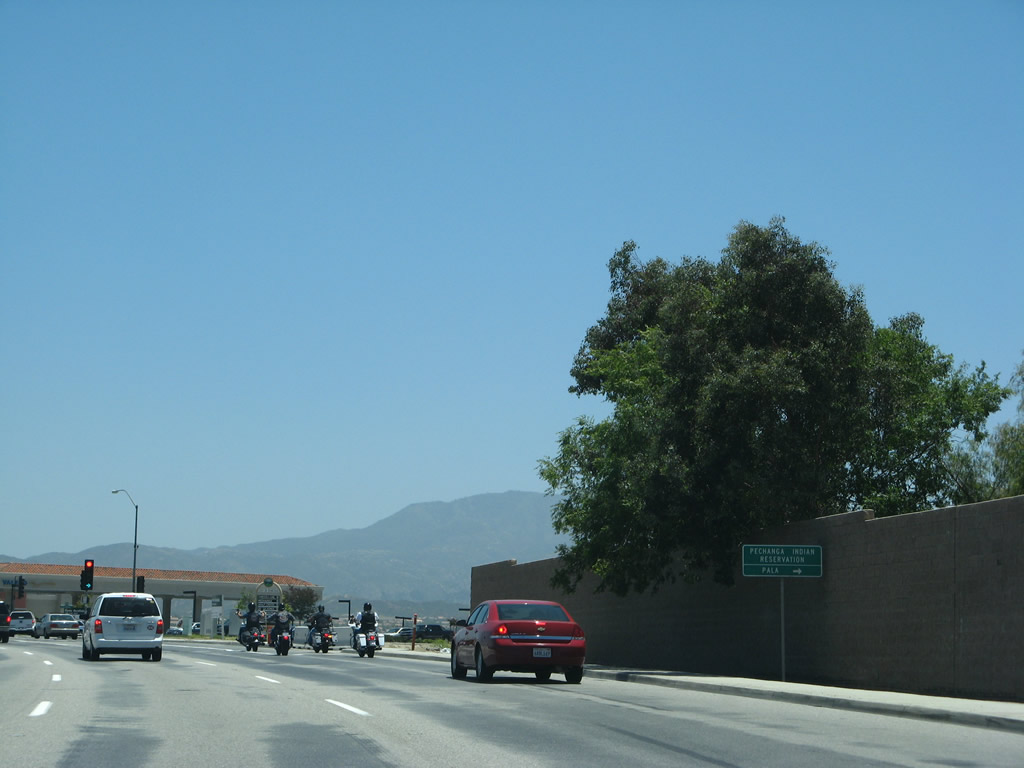
Riverside County S-16 (Pechanga Parkway) travels south from this intersection through Pechanga Indian Reservation, then crosses into San Diego to meet California 76 in Pala. Photo taken 06/07/08. |
|
Historic U.S. 395, meanwhile, travels south into San Diego County, where it serves Rainbow, Fallbrook, and Bonsall. The former U.S. highway is fairly well signed for navigational purposes with historic signs such as this one. Photo taken 01/07/12. |
|
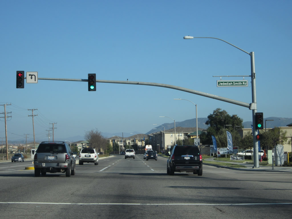
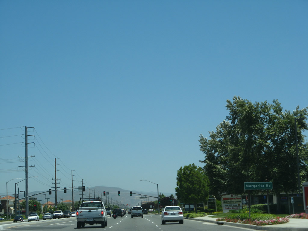
Six-lane California 79 (Temecula Parkway) meets Jedediah Smith Road at this traffic signal. With the development explosion of the 2000s, many new residential developments were added along this section of California 79. Photo taken 01/07/12. |
|
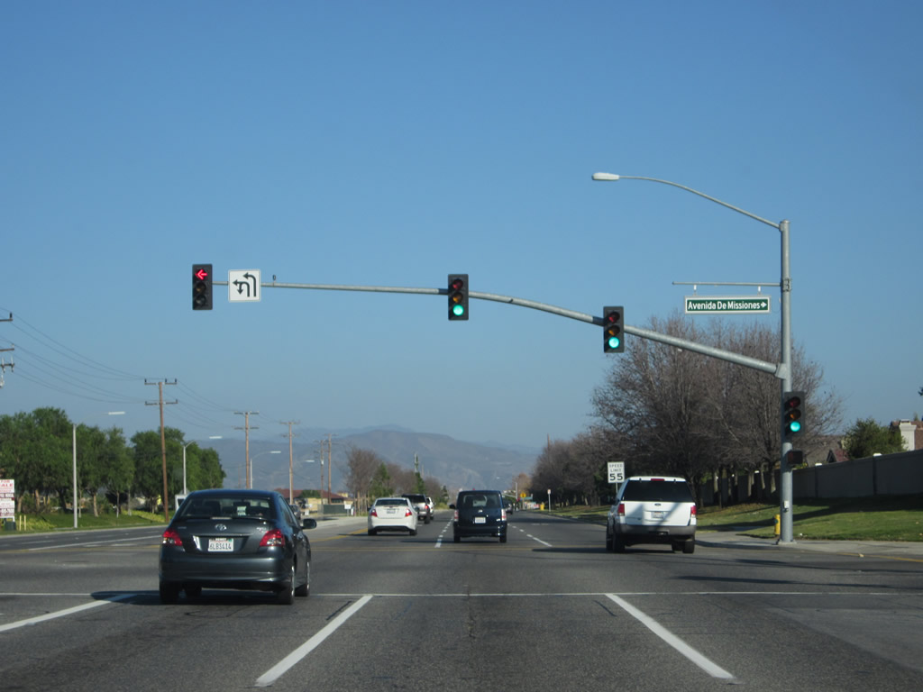
Southbound California 79 (Temecula Parkway) meets Avenida Missiones at this traffic signal. Photo taken 01/07/12. |
|
|
|
|
|
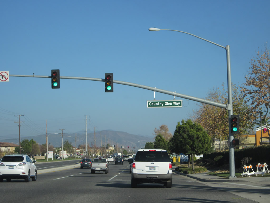
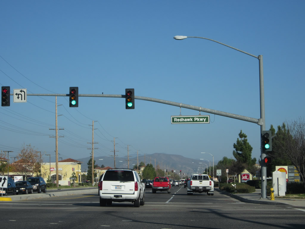
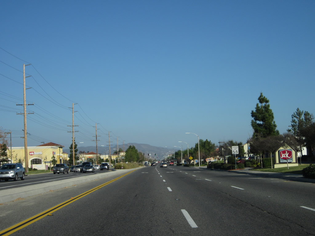
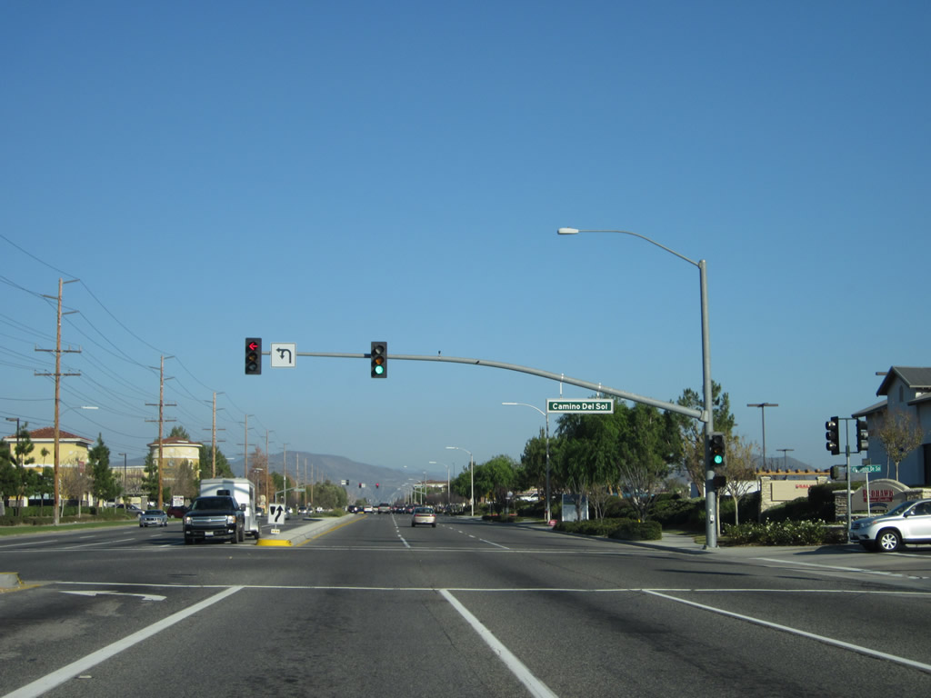
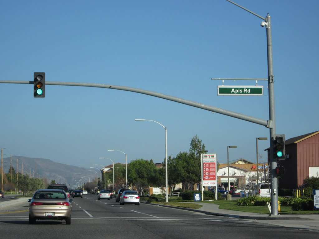
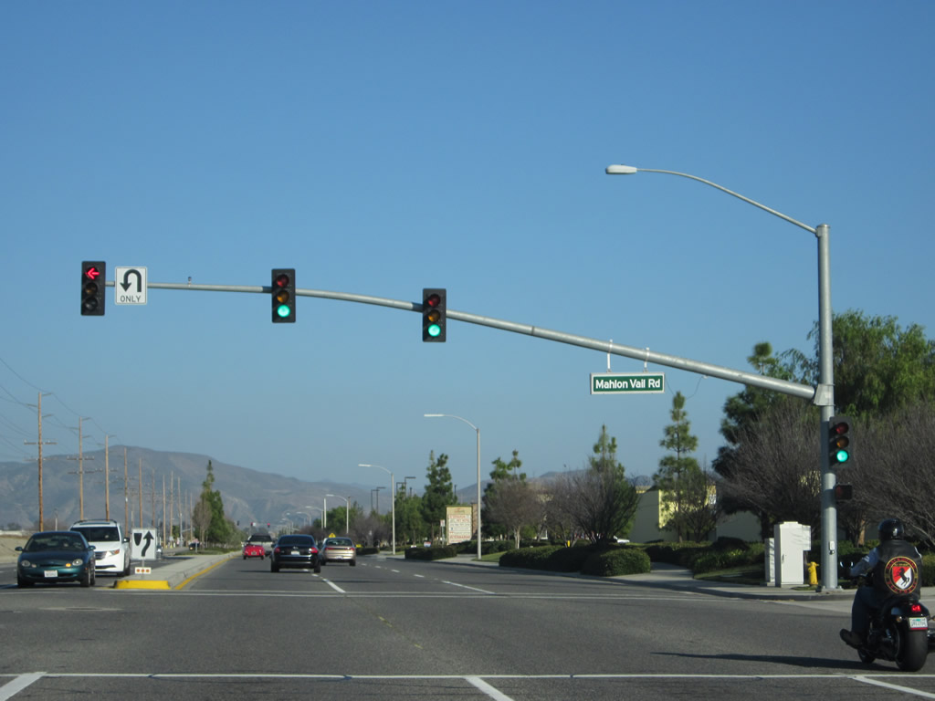
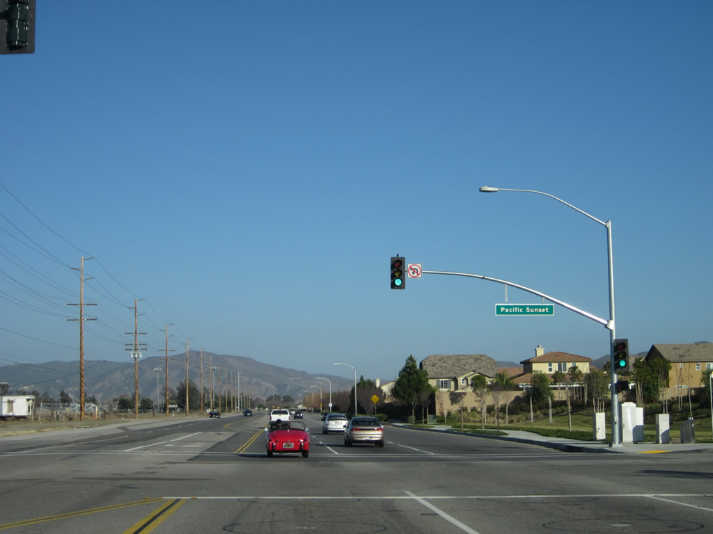
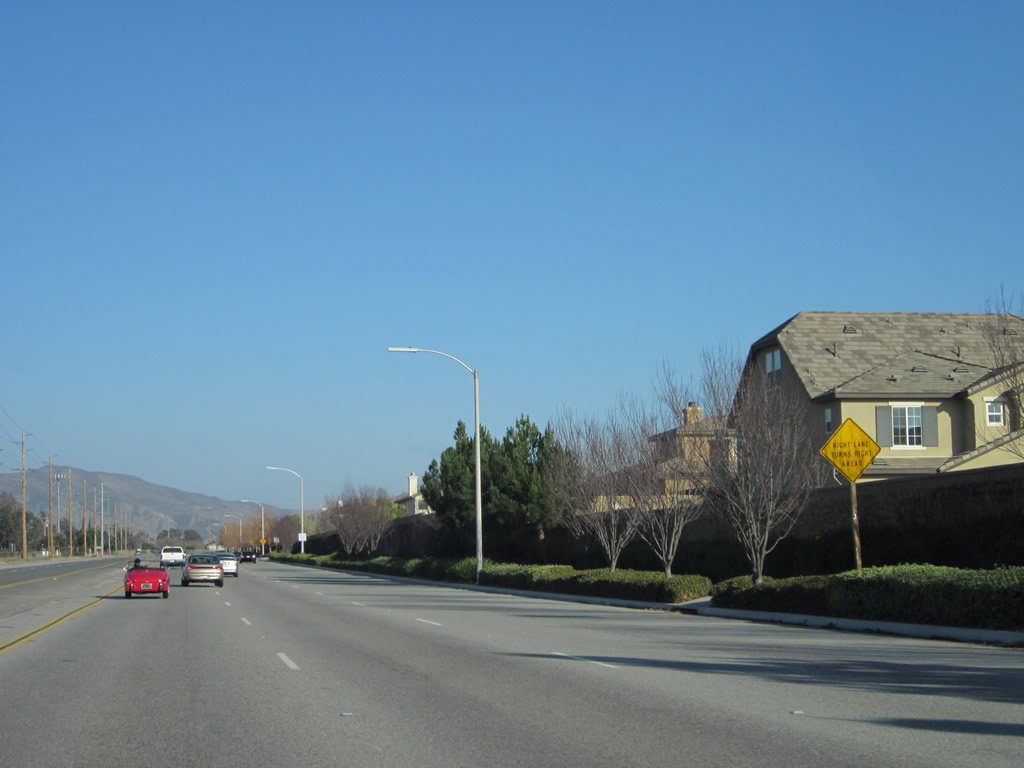
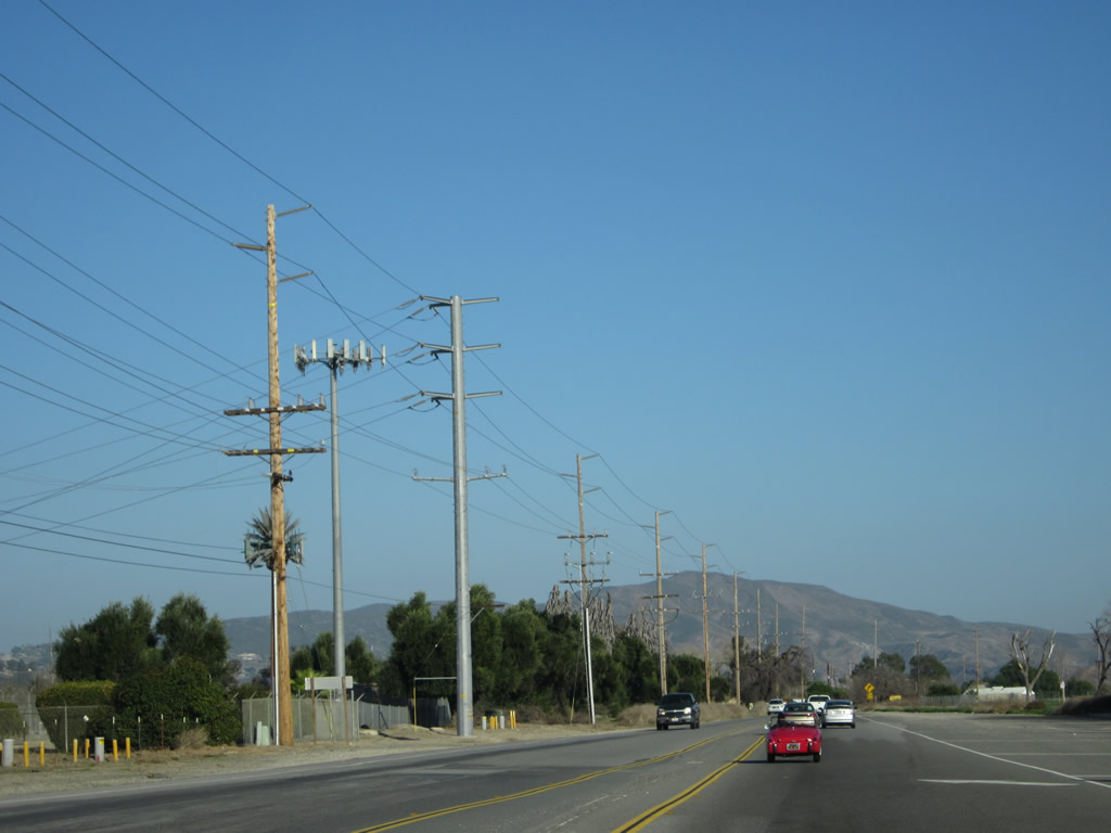
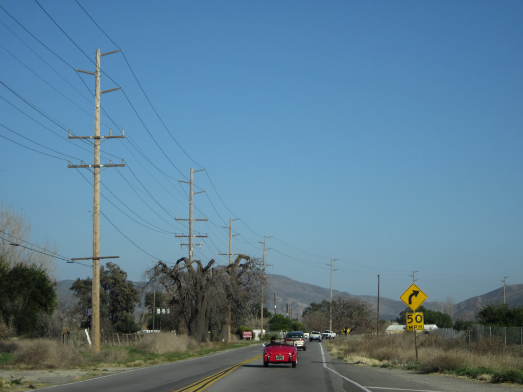
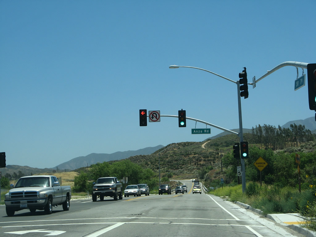
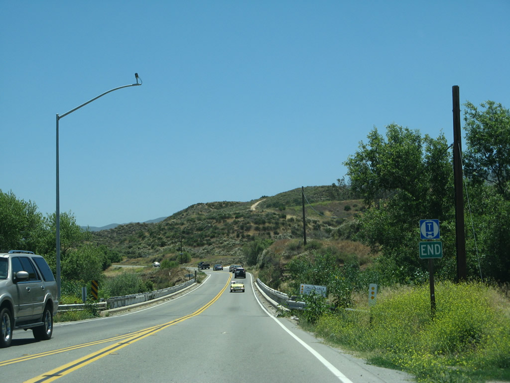
| California 79 (Temecula Parkway) continues through the suburban area of Temecula. The next three traffic signals are with Country Glen Way, Margarita Road, Redhawk Parkway, Camino del Sol, Meadows Parkway/Apis Road, Mahlon Vail Road, Butterfield Stage, and Pacific Sunset. After the last traffic signal, California 79 abruptly narrows from its six-lane urban configuration into a conventional two-lane rural state route. Photos taken 06/07/08 and 01/07/12. |
|
|
|
|
|
|
|
|
|
|
|
|
|
|
|
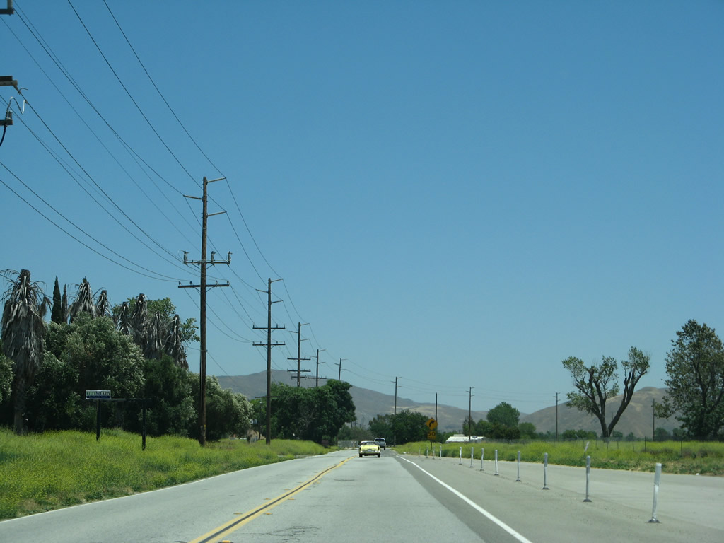
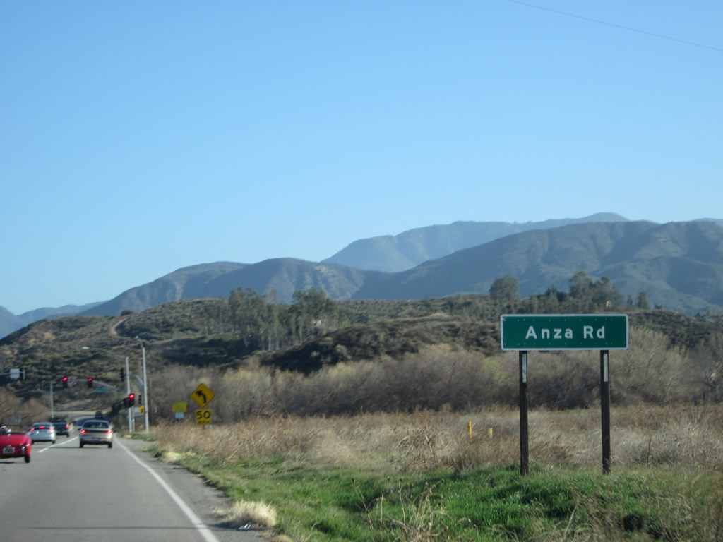
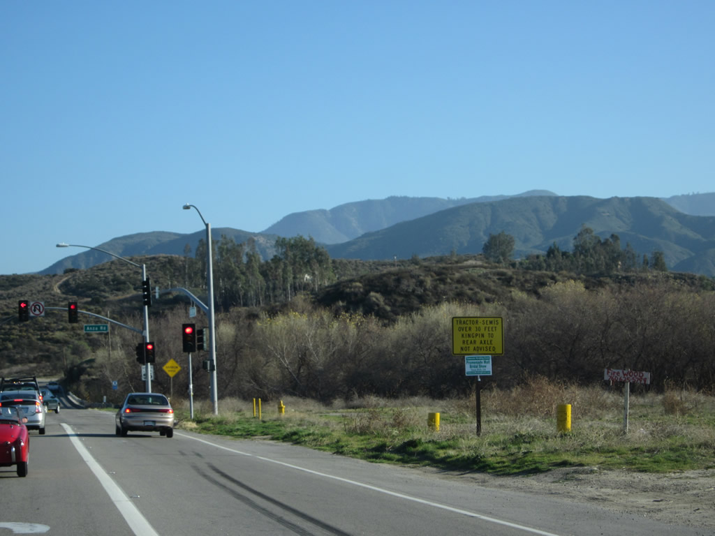
| California 79 (Temecula Parkway) approaches its intersection with Anza Road as it leaves the city of Temecula. Turn left on Anza Road to the Temecula Wine Country. Photos taken 06/07/08 and 01/07/12. |
|
Southbound California 79 approaches a bridge to carry the state route across Temecula Creek. Photo taken 06/07/08. |
|
California 79 crosses Temecula Creek on this 1939 bridge, which features white wooden railing and divoted curbing. Photo taken 06/07/08. |
|
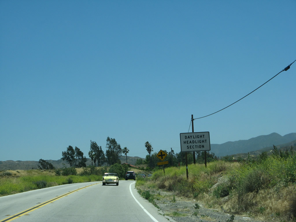
A safety corridor is in effect for California 79 from near the Temecula Creek bridge and the Riverside-San Diego County line. Headlights should be used for the 14-mile segment ahead. Photo taken 06/07/08. |
|
|
|
|
|
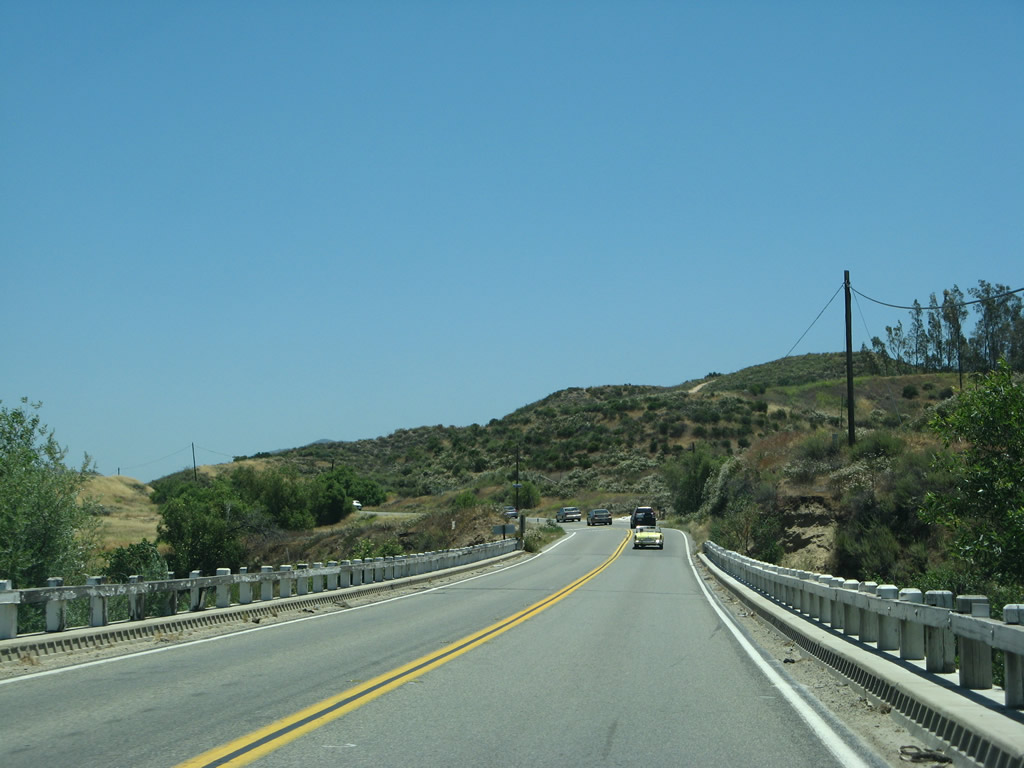
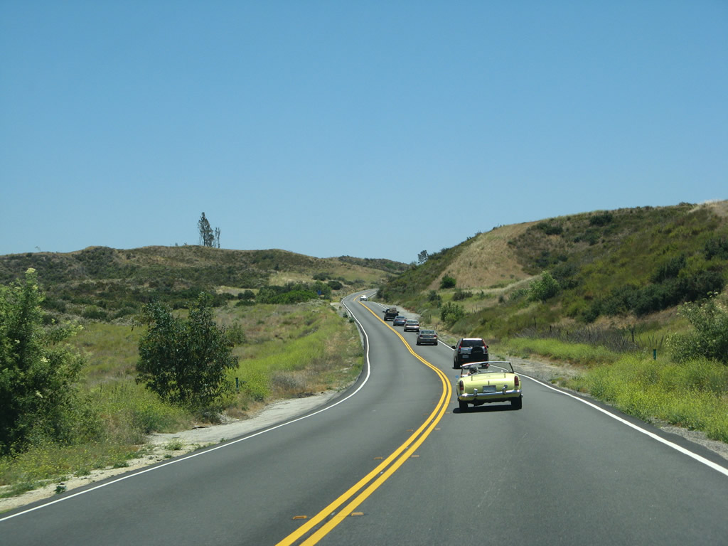
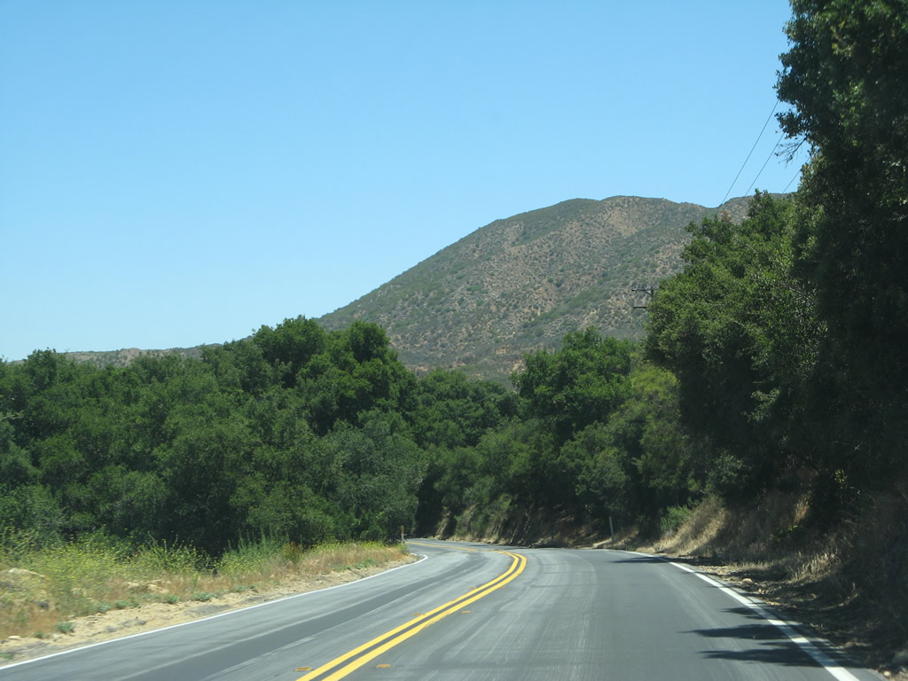
| Scenes like this (near Pauba Road and Woodchuck Road) are common along this stretch of California 79 (between Temecula Creek and Riverside County R-3). Photo taken 06/07/08. |
|
|
|
|
|
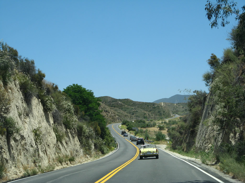
| California 79 passes over Arroyo Seco, near Dripping Springs Campground, and over Temecula Creek (again). Photo taken 06/07/08. |
|
|
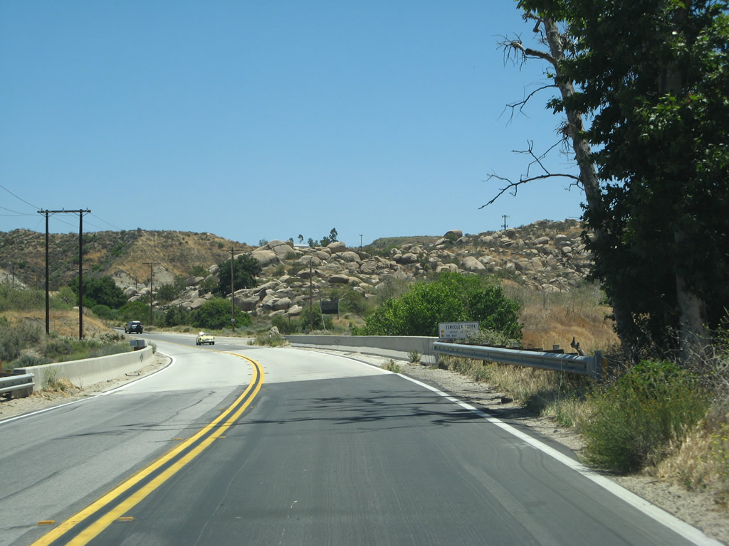
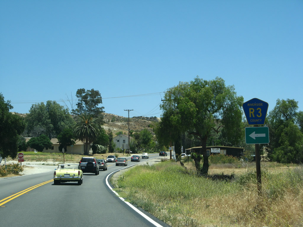
Southbound California 79 approaches Riverside County R-3 (Sage Road). R-3 travels north to Hemet. Unlike CR S-16 andCR R-2 in Riverside County, CR R-3 is fairly well-signed both from California 79 and on Sage Road itself. Photos taken 06/07/08. |
|
|
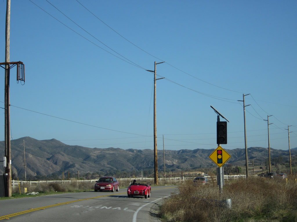
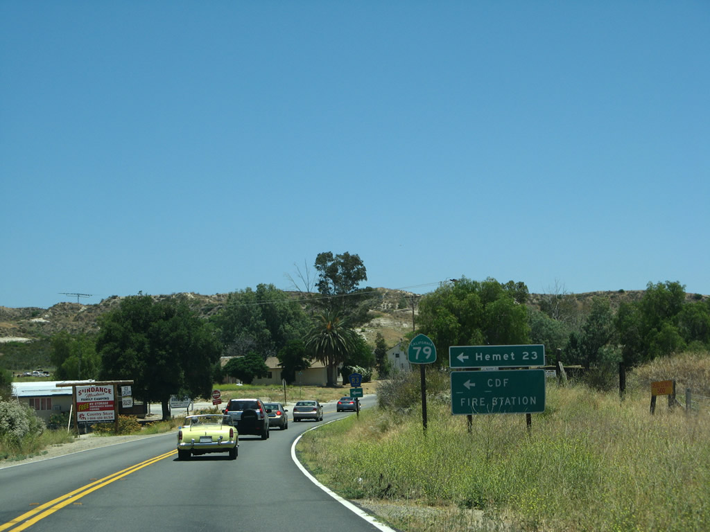
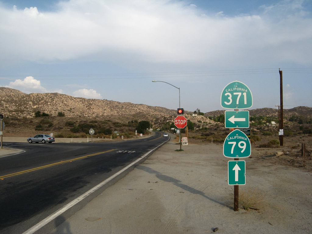
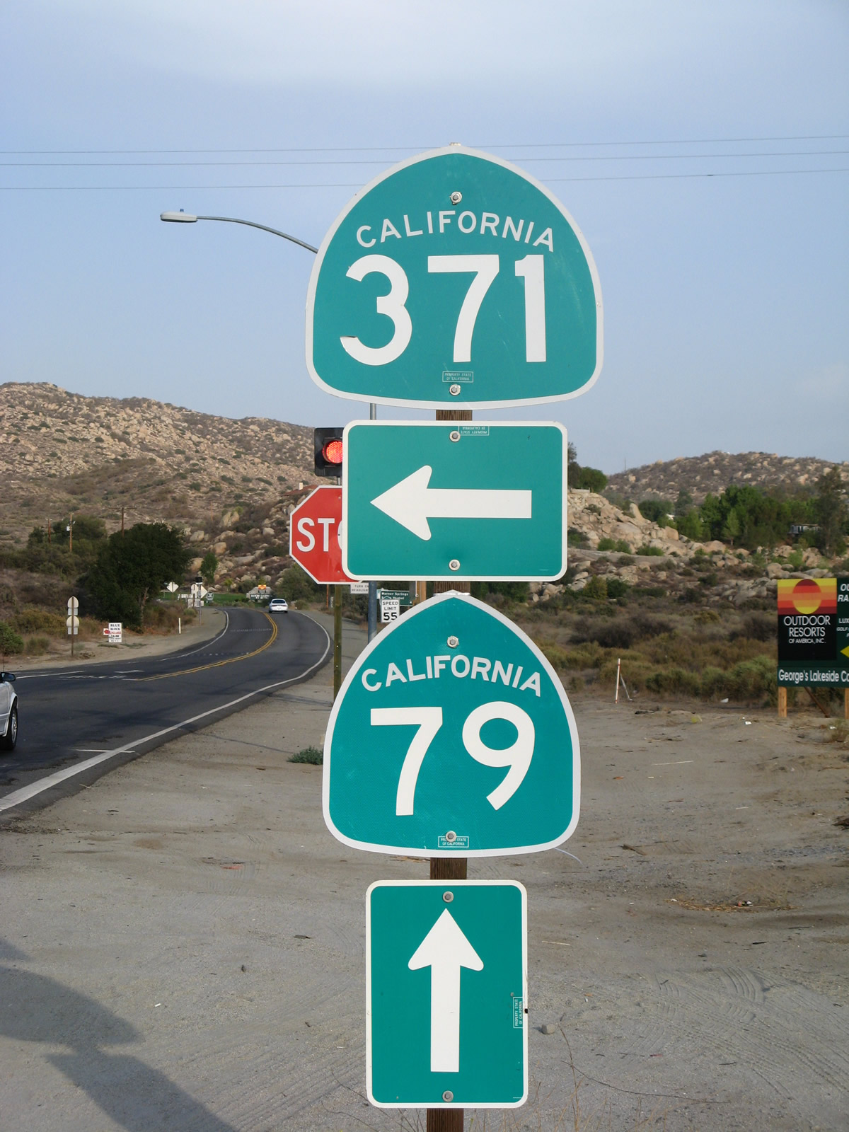
Continuing southeast, the next major intersection along California 79 south meets California 371 at this three-way stop intersection. Turn left here for California 371 east to Anza, Palm Desert, and Indio. Continue ahead for Warner Springs and Santa Ysabel. Photos taken 08/25/07. |
|
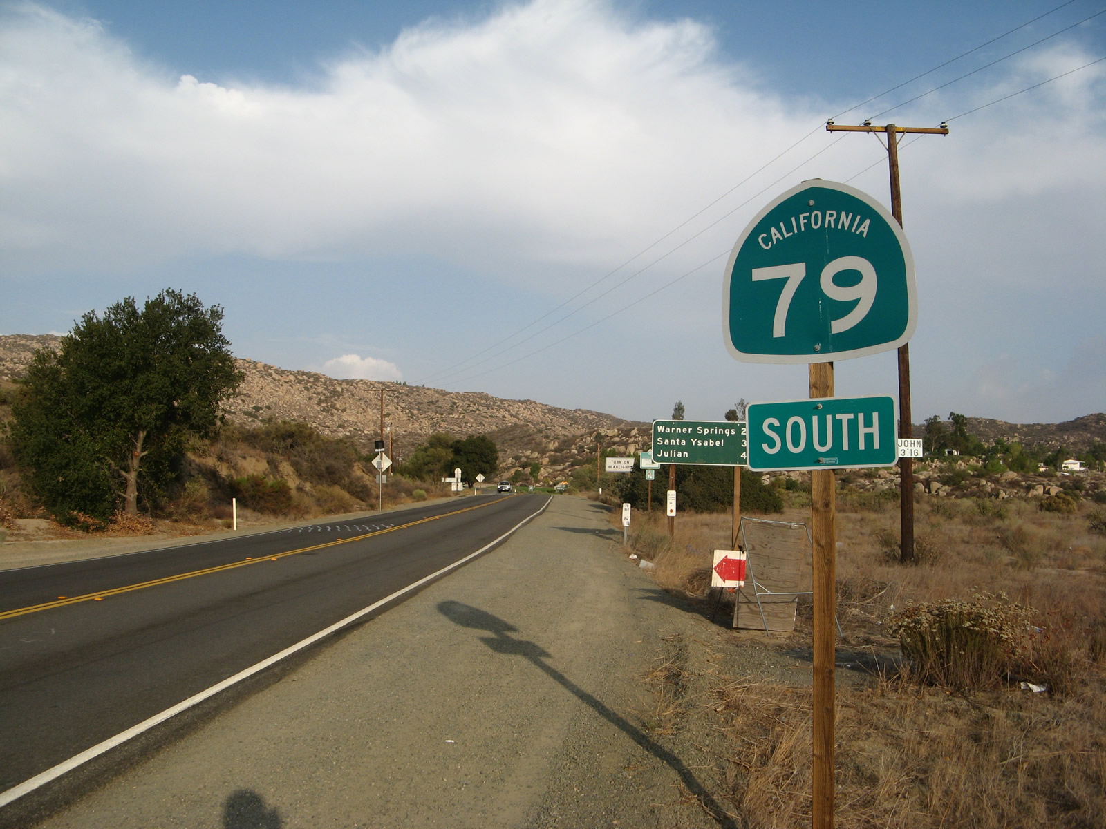
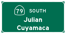
After the California 371 intersection, this sign for California 79 points the way to Warner Springs and Santa Ysabel. Photo taken 08/25/07. |
|
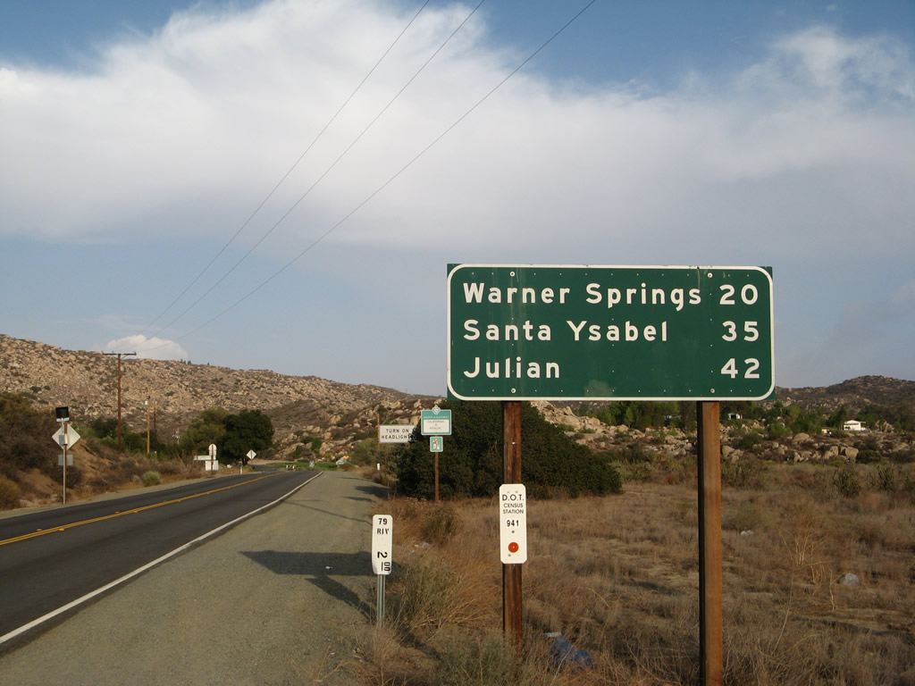
A mileage sign for California 79 south provides the distance to Warner Springs (20 miles), Santa Ysabel (35 miles), and Julian (42 miles). The Riverside-San Diego County Line lies several miles ahead. Photo taken 08/25/07. |
Page Updated January 21, 2013.