

California 89 North - Slinkard Junction to Markleeville

This view looks southwest from California 89 as it winds from Monitor Pass down toward the East Fork of the Carson River. Monitor Pass Highway offers incredible views on both sides of the state highway as it passes through northern Mono County and southeastern Alpine County. Photo taken 07/25/09.
| California 89 north | |
|---|---|
 |
California 89 commences east over Monitor Pass to Markleeville, then proceeds north to Lake Tahoe, Truckee, Lassen National Volcanic Park, and Mount Shasta. This major trans-Sierra route connects some of the most scenic segments of state highway, and it begins with a great deal of promise on its journey up Monitor Pass. Photo taken 07/19/09. |
 |
This mileage sign along California 89 east provides the distance to California 4 (18 miles), Markleeville (22 miles), and Lake Tahoe (51 miles). Photo taken 07/25/09. |
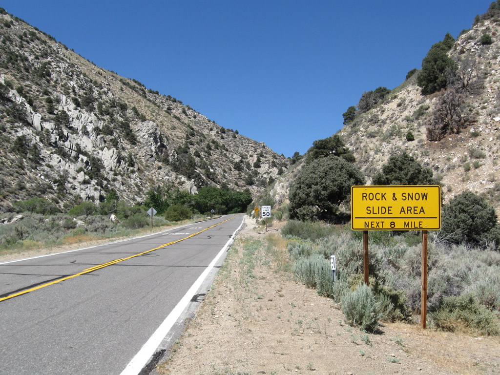 |
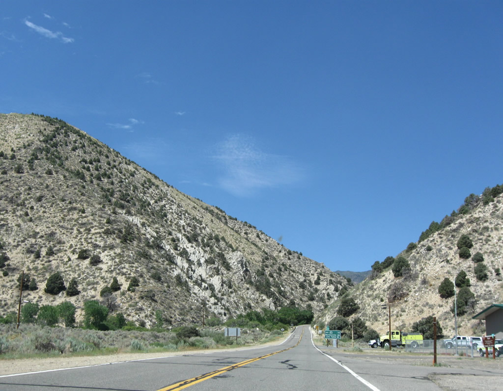
Between Slinkard Junction and Monitor Pass, California 89 gains over 3,000 feet of elevation over the course of eight miles of switchbacks and steep mountain grades. Rock slides and seasonal icy conditions may occur at nearly any time along the winding state route. Photo taken 07/25/09. |
 |
The road over Monitor Pass is closed in winter, and these gates are shut when the highway is shut down. Snow removal is not performed during winter months along this section of California 89. Photo taken 07/19/09. |
 |
This initial section of California 89 is a slow, uphill journey with plenty of sharp curves and switchbacks. Photo taken 07/19/09. |
 |
 |
 |
 |
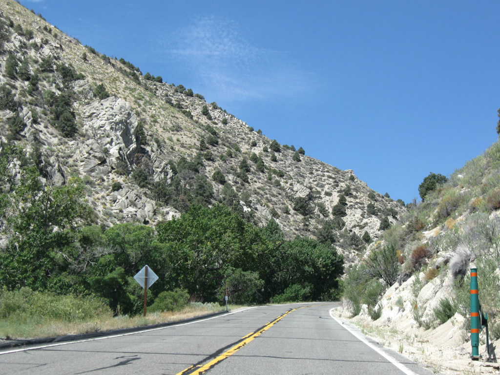
Tremendous views line California 89 as the state highway gains elevation. Watch for bicyclists and traffic in both directions; the highway is a bit narrow and generally lacks shoulders. Photos taken 07/19/09. |
 |
 |
 |
 |
 |
 |
Climbing uphill, this California 89 north (west) reassurance shield is posted prior to the Mono County-Alpine County line on the climb to Monitor Pass. Photos taken 07/19/09. |
 |
California 89 leaves Mono County and enters Alpine County. At this point, California 89 (Monitor Pass Highway) also becomes designated as the Robert M. Jackson Memorial Highway. Photo taken 07/19/09. |
 |
This mileage sign along westbound California 89 provides the distance to Markleeville (15 miles), Woodfords (22 miles), and Lake Tahoe (48 miles). Monitor Pass (el. 8,314 feet) lies a couple miles ahead near Leviathan Peak (el. 8,963 feet). Photo taken 07/19/09. |
 |
Now west of Monitor Pass, this view looks northwest toward the valley through which the East Fork of the Carson River runs. The intersection with California 4 and Markleeville lie in this valley. Photo taken 07/25/09. |
 |
Northbound California 89 meets California 4 at this intersection, Turn left to follow California 4 southwest toward Centreville Flat, Ebbetts Pass, Hermit Valley, Pacific Grade Summit, Lake Alpine, Bear Valley, and Angels Camp. The highway sees significant grades and curves along its slow journey west. Turn right to continue north on California 89 to Markleeville, California 88, and Lake Tahoe. Photo taken 07/18/09. |
 |
From here north to Woodfords via Markleeville, California 89 is signed alone. However, the southbound direction of California 89 is signed for both California 4 west and California 89 south. This trailblazer demonstrates that California 4 east ends at the southern California 89 intersection, while California 4 west begins at the California 88 intersection in Woodfords. Photo taken 07/18/09. |
 |
Leaving the California 4 intersection, California 89 north now follows the east bank of the East Fork of the Carson River. Northbound is signed only for California 89, while southbound is signed for both California 4 west and California 89 south. Photo taken 07/18/09. |
 |
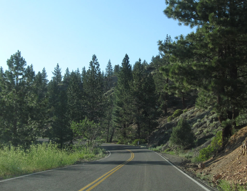
California 89 continues north through the valley carved by the nearby river. Summertime fly fishing is a popular activity in Eastern Sierra rivers. Photo taken 07/18/09. |
 |
Northbound California 89 crosses over the East Fork of the Carson River via Hangmans Bridge, which was built in 1934 and widened in 1980. A trailhead is located here, as well as a campground a mile or so ahead. Photo taken 07/18/09. |
 |
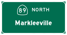
Leaving the East Fork of the Carson River, California 89 passes by a pastoral meadow and its livestock. Markleeville lies just ahead. Photo taken 07/18/09. |

Page Updated January 17, 2010.
|
About Contact Glossary |
In The News Testimonials Interstate Guide |
Social Media:
 |
|
© 2000-23 AARoads.com | All Rights Reserved | Privacy Policy / Terms of Use
|
||