
Interstate 40 West - Fenner to Ledlow
| Interstate 40 (Needles Freeway) west | |
|---|---|
 |
After leaving the Mountain Springs Road interchange, Goffs Butte (el. 3,612 feet) comes into view to the north. The settlement of Goffs is located just north of the butte; historic U.S. 66 passes through Goffs and then turns southwest toward Amboy. This original alignment of U.S. 66 will meet Interstate 40 at Exit 107, which is the next exit along westbound. Photo taken 04/02/06. |
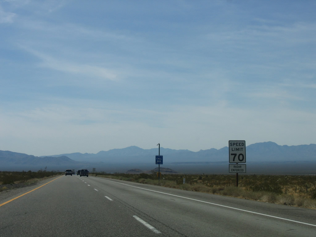 |
The speed limit for almost all of Interstate 40 through the Mojave Desert is set at 70 miles per hour. Watch for slower vehicles especially on uphill grades. Photo taken 04/02/06. |
 |
The next exit along Interstate 40 west is Exit 107, U.S. 66 east to Goffs and west to Amboy (one mile). The small settlement of Fenner is located on the north side of the freeway off U.S. 66. Photo taken 02/16/04. |
 |
Exit 107 features the last motorist services until reaching Exit 50, National Trails Highway/U.S. 66 to Ludlow. Photo taken 02/16/04. |
 |
Much of the area north of Interstate 40 between Exits 107 and 78 is part of the Mojave National Preserve, which extends north all the way to the California-Nevada state line and Interstate 15 as it heads northeast from Baker. Each of the next three exits along westbound serve the preserve. Photo taken 02/16/04. |
 |
Westbound Interstate 40 reaches Exit 107, U.S. 66/Goffs Road, which leads southwest to Essex and Chambless and northeast to Fenner, Goffs, and Bannock. Photo taken 02/16/04. |
 |
The next exit along westbound Interstate 40 is Exit 106, Fenner Rest Area. This rest area was closed for repairs in early 2004, and the next rest area is located at Exit 28, some 79 miles west of here. Photo taken 02/16/04. |
 |
Westbound Interstate 40 next reaches Exit 106, Fenner Rest Area. In 2004, the rest area was closed for repairs, perhaps in conjunction with the bridge deck replacement at the Goffs Road interchange. Photo taken 04/02/06. |
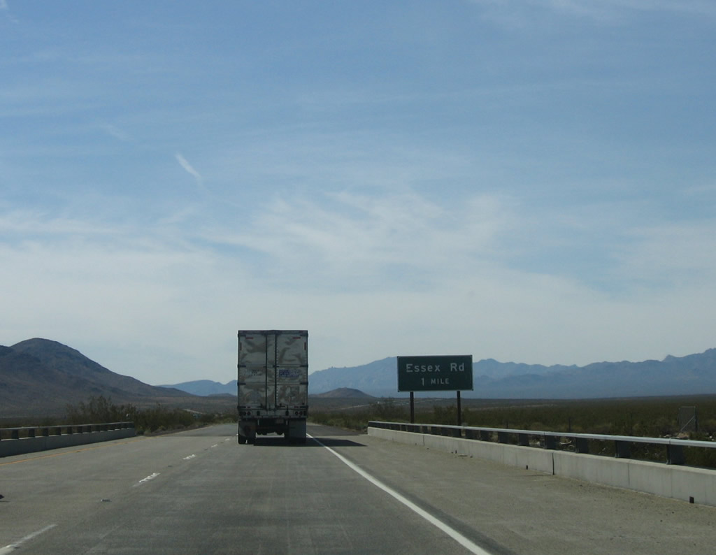 |
The next exit along Interstate 40 west is Exit 100, Essex Road. Use Essex Road northwest to Mitchell Canyon and southeast to Essex (U.S. 66). The next exit is Exit 78, a distance of 22 miles. Photo taken 04/02/06. |
 |
 |
Mitchell Caverns and Providence Mountains State Recreation Area is located northwest of Interstate 40 within the Mojave National Preserve via Essex Road, with a connection to Hole in the Wall via Black Canyon Road. Photo taken 04/02/06. |
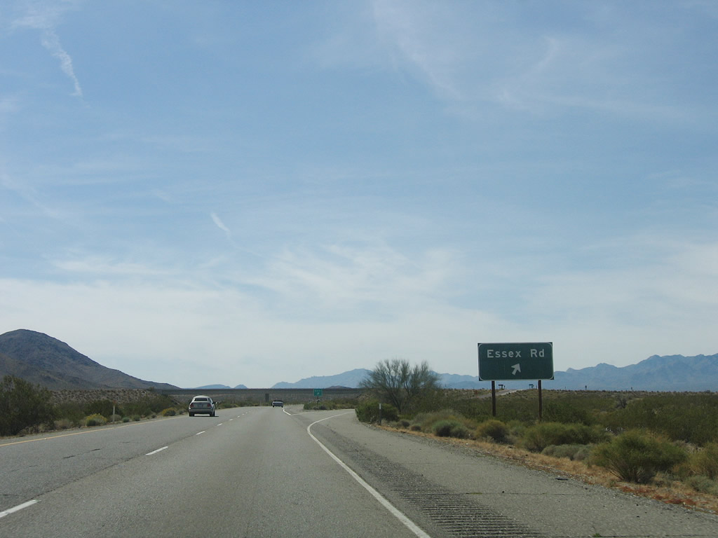 |
Westbound Interstate 40 reaches Exit 100, Essex Road. Services are available in Amboy along Historic U.S. 66. Photo taken 04/02/06. |
 |
This mileage sign along Interstate 40 west provides the distance to Ludlow (Exit 50, 49 miles) and Barstow (Exit 1, 100 miles). Photo taken 04/02/06. |
 |
An Interstate 40 east reassurance shield is posted shortly thereafter. Photo taken 04/02/06. |
 |
 |
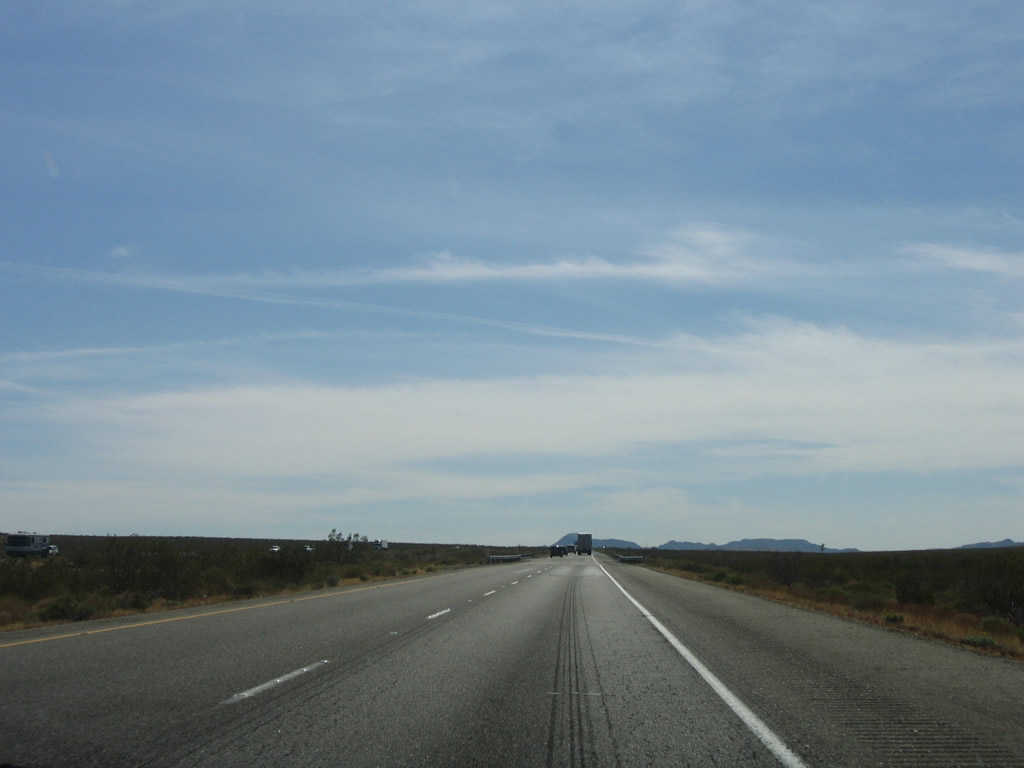 |
The distance between Exits 100 and 78 is a long and desolate journey through Clipper Valley. The freeway stays close to the north side of Interstate 40. Photos taken 04/02/06. |
 |
 |
 |
 |
The next exit along westbound Interstate 40 is Exit 78, Kelbaker Road (two miles). No services are available at this interchange; motorists must continue to Exit 50, a distance of 28 miles. Photo taken 04/02/06. |
 |
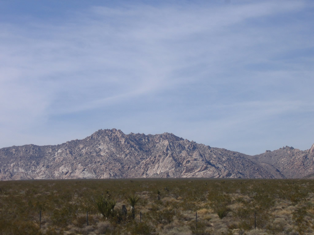
Interstate 40 passes through some slightly mountainous area just prior to Exit 78. Photo taken 04/02/06. |
 |
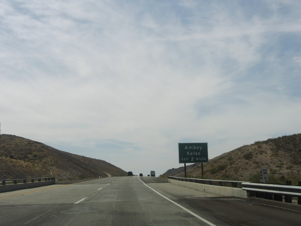
Kelbaker Road leads north to Kelso and south to Amboy. But if you're going to Amboy, it is more direct to simply Historic U.S. 66 at Exit 107 (Fenner interchange). Photo taken 04/02/06. |
 |
This sign seems to imply that Kelbaker Road is part of Historic U.S. 66, but that is not the case. One must drive south on Kelbaker Road to meet U.S. 66 east of Amboy in the Cadiz Valley. Photo taken 04/02/06. |
 |
Use Kelbaker Road north to Kelso and south to Amboy. Photo taken 04/02/06. |
 |
Westbound Interstate 40 reaches Exit 78, Kelbaker Road. Kelbaker Road leads north to Kelso and Baker (as the name of the road implies), then transitions into California 127 upon reaching Interstate 15. California 127 in turn leads north to Shoshone and Death Valley National Park. Southbound Kelbaker Road leads to U.S. 66 between Amboy and Chambless. Photo taken 04/02/06. |

Page Updated March 6, 2010.
|
About Contact Glossary |
In The News Testimonials Interstate Guide |
Social Media:
 |
|
© 2000-23 AARoads.com | All Rights Reserved | Privacy Policy / Terms of Use
|
||