This page showcases extant segments of Historic U.S. 80 in Imperial County from California 111 east to Holtville via Imperial County S-80 as well as the section east from Holtville Hot Springs to Yuma via the Algodones (Imperial) Sand Dunes (also known as the Sand Hills).
| Historic U.S. 80 & Imperial County S-80 east |
|
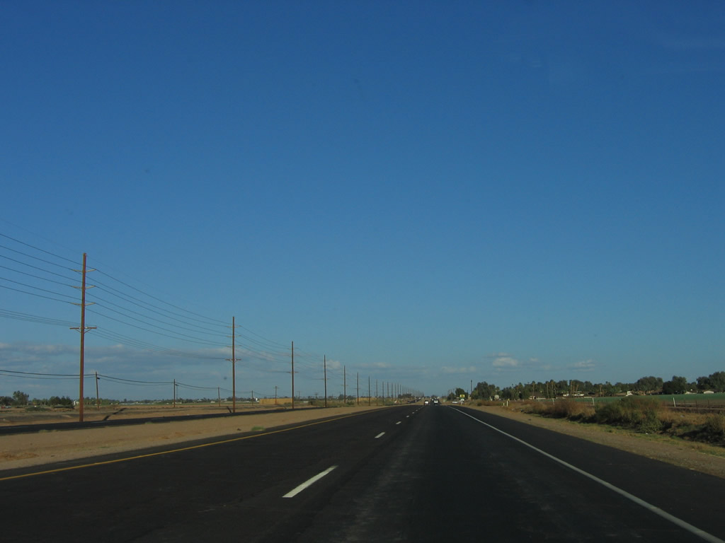
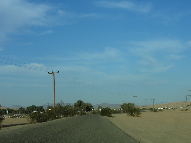
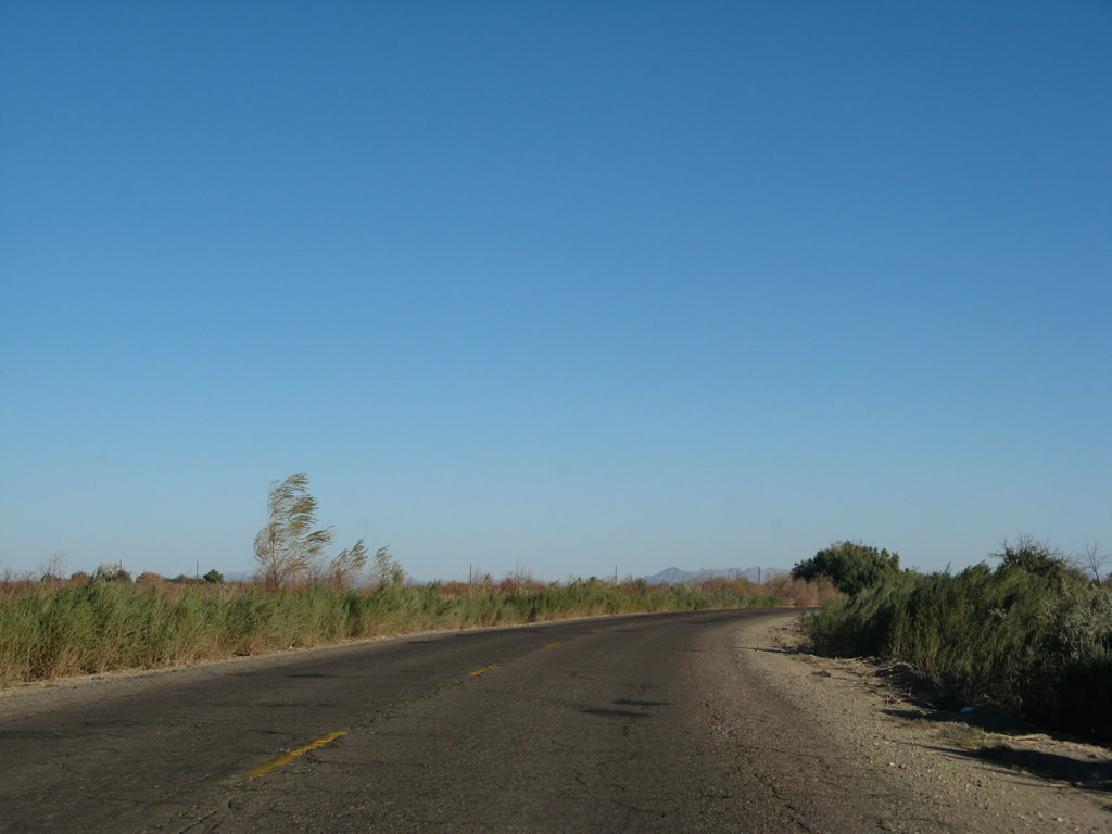
Eastbound Imperial County S-80 continues east of California 111 and will immediately assume an expressway configuration that extends from here east to the outskirts of Holtville. It was at one point intended for Interstate 8 to be routed directly on top of Old U.S. 80, and this expressway would have served as part of the then-future freeway. A later decision to route Interstate 8 on a new alignment parallel to and south of U.S. 80 resulted in the present course of travel for Interstate 8 as well as several extant segments of U.S. 80 in the Imperial Valley. Photo taken 10/14/06. |
|
An outdated, non-standard "Divided Highway 700 feet" sign is posted shortly thereafter along eastbound Imperial County S-80 (Evan Hewes Highway). Photo taken 10/14/06. |
|
This expressway segment of Imperial County S-80 is unlike most other segments of S-80, with a much more modern feel than other segments west of El Centro. Photo taken 10/14/06. |
|
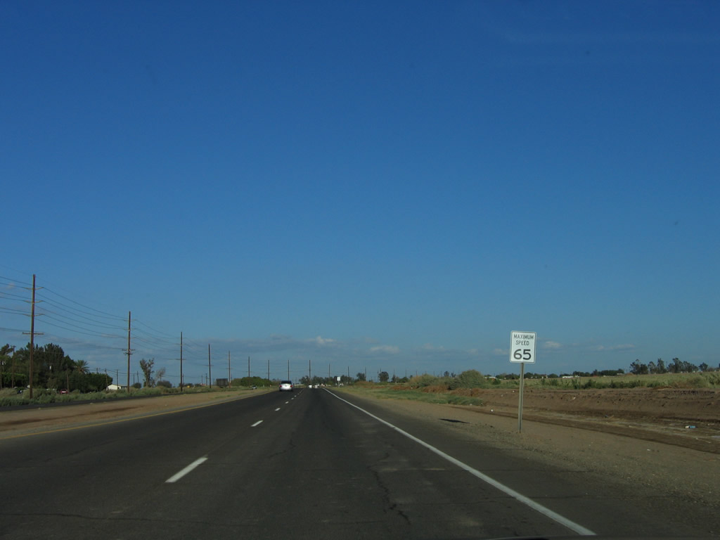
The speed limit ("maximum speed") along eastbound Imperial County S-80 rises to 65 miles per hour. Photo taken 10/14/06. |
|
|
|
|
|
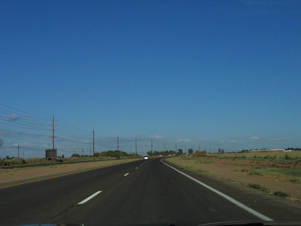
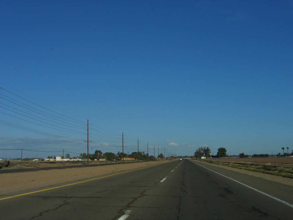
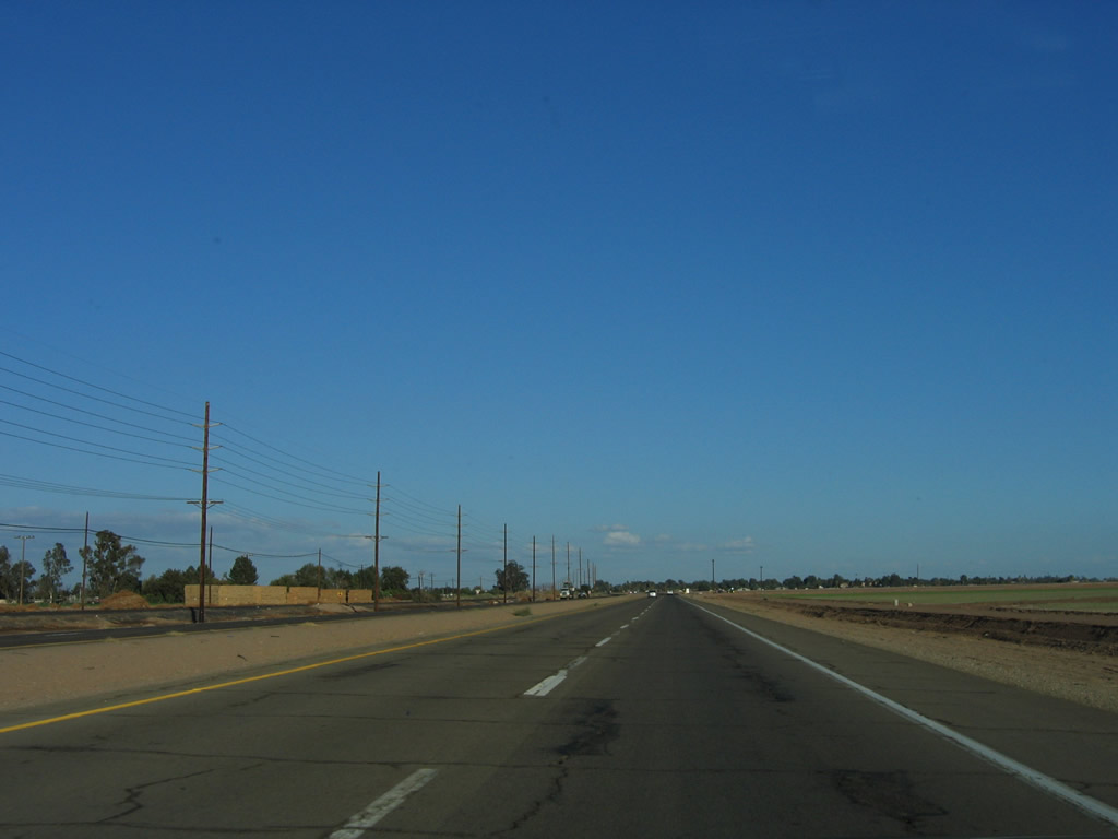
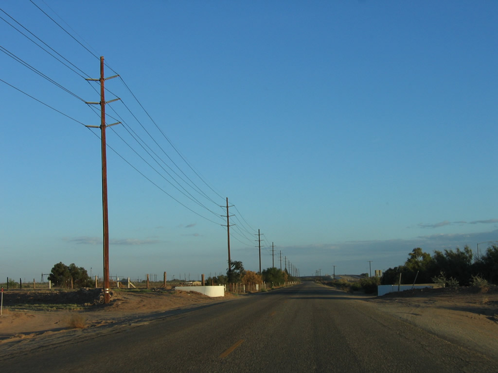
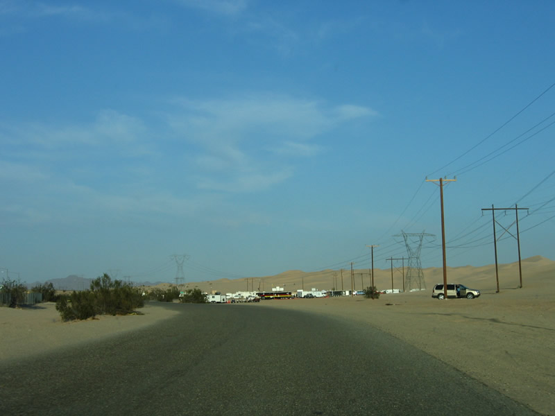
| Despite the fact that the four-lane expressway segment of Imperial County S-80 (Historic U.S. 80) looks like a state-maintained expressway, it is in fact maintained by Imperial County. It is the best segment of CR S-80 as the expressway is in good repair and is generally more well-traveled than other sections of CR S-80. Farms and ranches line both sides of S-80 as it proceeds east toward Holtville. Photos taken 10/14/06. |
|
|
|
|
|
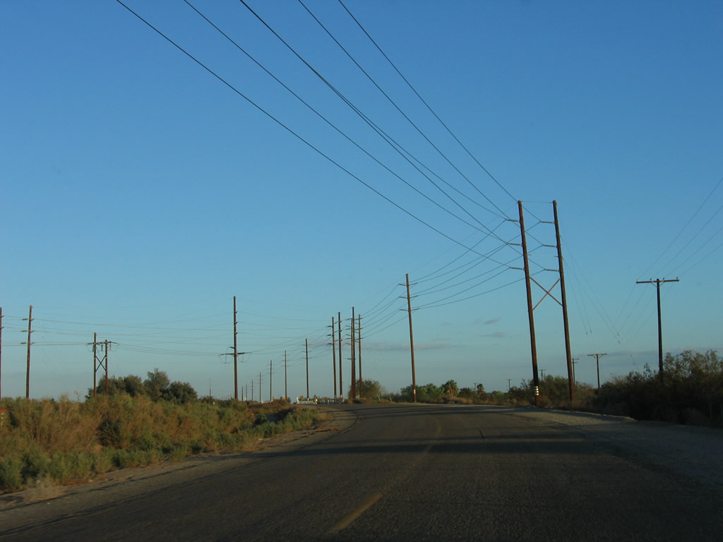
| Imperial County S-80 (Historic U.S. 80) proceeds east past Barbara Worth Resort and Country Club, then proceeds due east toward Holtville. Interrupting the flow is the approaching junction with California 115. At this intersection, Imperial County S-80 comes to quiet close, and California 115 takes over the expressway for the remaining distance into Holtville. At the intersection with California 115, turn left to travel north toward Glamis and Calipatria or continue ahead for California 115 south to Holtville and Interstate 8. Photos taken 10/14/06. |
|
No traffic signal or four-way stop is imposed for through traffic on eastbound Imperial County S-80 at the California 115 intersection. In fact, the advance signs for California 115 are the only indication of the pending change in roadway designation. Either way, California 115 will now proceed east along Evan Hewes Highway toward Holtville. S-80 comes to its eastern terminus here, although there is no end shield present (unlike the typical custom for most other county routes in Imperial County). Photo taken 10/14/06. |
| Historic U.S. 80 east |
|
Evan Hewes Highway is mostly a frontage road between California 115 and California 98. This picture shows eastbound U.S. 80 approaching the geothermal power plants clustered around the vicinity of area where the Highline Canal crosses Interstate 8, just a quarter mile east of California 115. Although most of the geothermal hot springs have been tapped for power production, one hot spring is not tapped, and it is available for public use as a bathing area. This is the Holtville Desert Hot Springs, which are just ahead along U.S. 80. Photo taken 10/14/06. |
|
Nearing Holtville Hot Springs, Historic U.S. 80 will see another shift, this time from the fertile agricultural lands of the Imperial Valley back into the dry, arid desert. Photo taken 10/14/06. |
|
Historic U.S. 80 briefly runs alongside the Interstate 8 freeway; this is the closest old U.S. 80 has been to Interstate 8 since leaving Ocotillo on the western end of the Imperial Valley. Photo taken 10/14/06. |
|
Imperial Irrigation District power lines turn north toward a substation that connects to a 220kV Southern California Edison power transmission line, linking SCE's power grid with electrical output from the Ormesa Geothermal Generating Plant. Photo taken 10/14/06. |
|
Eastbound U.S. 80 crosses the Highline Canal, the dividing line between agricultural lands to the west and dry desert to the east. Note the white bridge railing for the Highline Canal crossing. U.S. 80 approaches the left turnoff to a long-term visitor area on the north side of the highway (very popular in winter months), a right turn to the Holtville Hot Springs parking lot, and a second left turn to the Ormesa Geothermal Generating Plant, visible to the north of the highway (just follow the power lines). Beyond that, Old U.S. 80 will follow Interstate 8 on the north side of the freeway all the way to the California 98 junction just west of the Algodones (Imperial) Sand Dunes. Photo taken 10/14/06. |
|
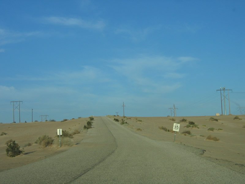
Traveling the eastbound side of Old U.S. 80 along Grays Well Road away from a large open area suitable for camping, both RV and tent, near the Old Plank Road. From this area, Old U.S. 80 resumes for the first time since the Gordons Well interchange. The road has a posted 35 miles per hour speed limit. Photo taken 01/27/06. |
|
Unlike the old twin slab concrete sections of U.S. 80 in the Laguna Mountains, this section of U.S. 80 is asphalt with no remnant lane markings. Photo taken 01/27/06. |
|
Old U.S. 80 basically parallels Interstate 8 as the frontage road approaches the Midway Campground. Photo taken 01/27/06. |
|
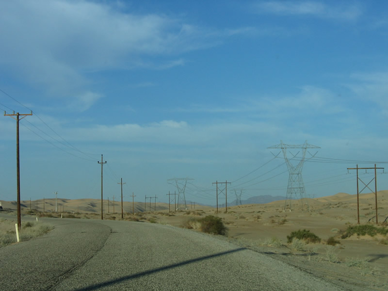
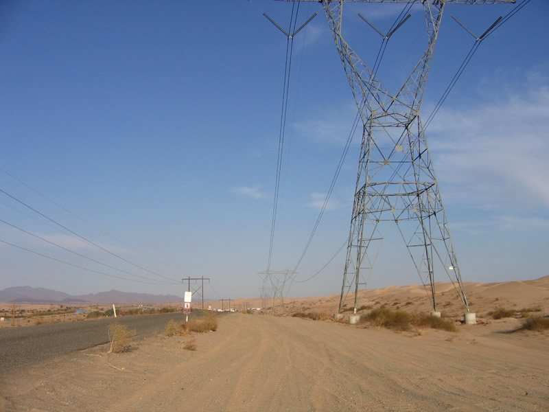
A major 500 kV power line (Southwest Powerlink, which connects Palo Verde with Imperial Valley and San Diego) joins the small "H" frame power line as the various infrastructure corridors converge to cross the Algodones (Imperial) Sand Dunes. Even these massive towers had to be installed with extensive bases to ensure they would not move along with the sand. Photo taken 01/27/06. |
|
A relatively new-looking cell tower can be seen toward the bend in Old U.S. 80. Photo taken 01/27/06. |
|
The speed limit remains 35 miles per hour. Watch for off road vehicles and blowing/drifting sand encroaching on the roadway. Photo taken 01/27/06. |
|
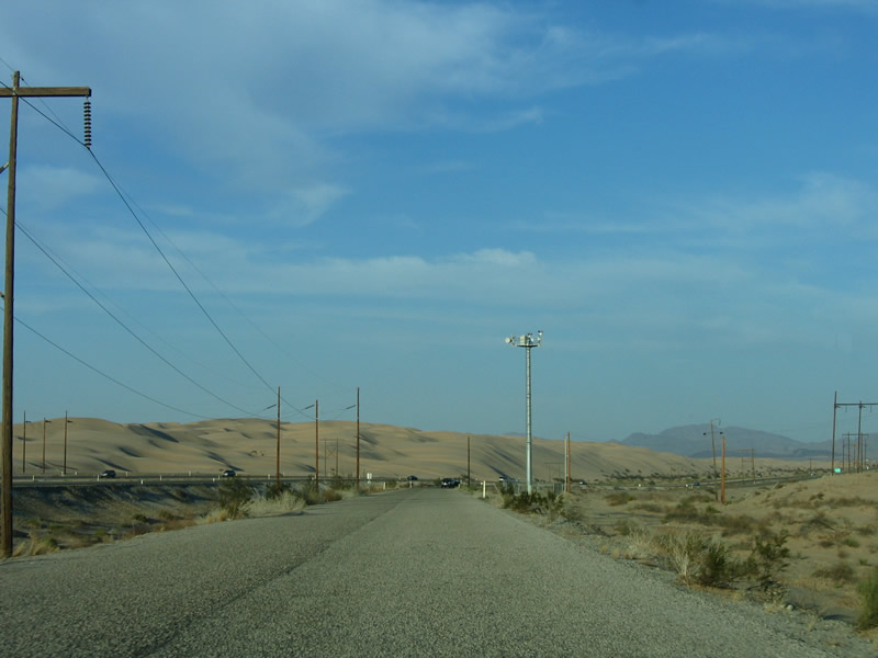
The power lines cross over U.S. 80 as the highway ascends to the top of a sand bluff. Photo taken 01/27/06. |
|
|
|
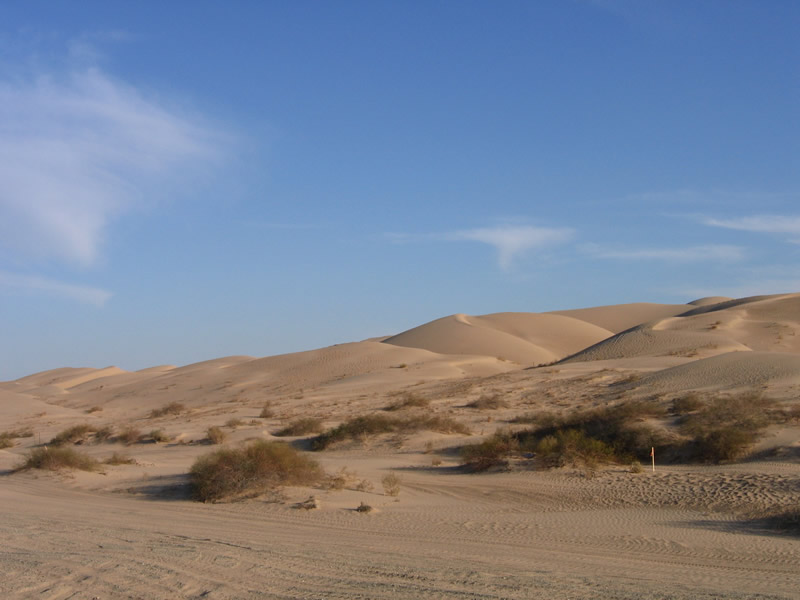
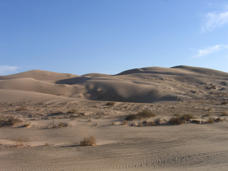
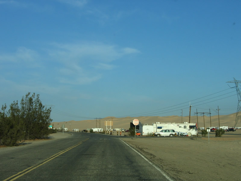
Historic U.S. 80 is merely a frontage road (Grays Well Road) along the southside of Interstate 8 in the immediate area of the Imperial Sand Dunes (Algodones), also known as the Sand Hills. This section of frontage road does not directly connect to any other frontage road; one must take Interstate 8 and use Exit 156. These six pictures show the sandy landscape surrounding the old road near the recreational use area. Four-wheelers are more common than cars in this area; an off-road recreation area is located just east of here (Buttercup Valley Off Road Vehicle Area) close to the interchange with Interstate 8. Note the sand present on the old road in the 2002 pictures. Photos taken 10/05/02 and 01/27/06. |
|
|
|
|
|
|
From the high point on Historic U.S. 80 (Grays Well Road), the ever-shifting sand dunes to the north and south of the Interstate 8 freeway (and Buttercup Valley) come into view. Photos taken 01/27/06. |
|
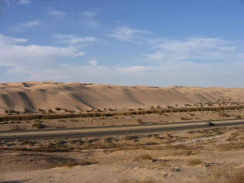
Continuing east, Historic U.S. 80 (Grays Well Road) crests over a ridge and descends into Buttercup Valley. Interstate 8, the Rest Area, and the All-American Canal are visible from Old U.S. 80. Photo taken 01/27/06. |
|
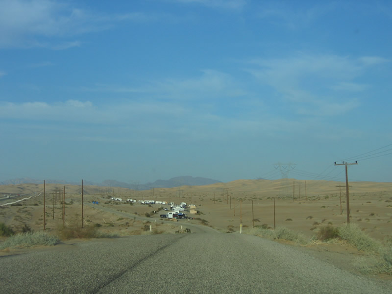
After entering Buttercup Valley, old U.S. 80 closely parallels Interstate 8, then approaches the parking area for the Buttercup Valley Off Road Area. Photo taken 01/27/06. |
|
The group of recreational vehicles visible in the distance are all there for their owners to enjoy using off-road vehicles on the sand dunes. Photo taken 01/27/06. |
|
A stop sign is posted at the entrance to the Buttercup Valley Off Road Area (as seen from eastbound U.S. 80). Photo taken 01/27/06. |
|
Eastbound Historic U.S. 80 (Grays Well Road) reaches the junction with Interstate 8. Cross the overpass to connect to westbound Interstate 8 to El Centro and San Diego. Turn left ahead to follow eastbound Interstate 8 to Winterhaven and Yuma. Photo taken 01/27/06. |
|
This is the freeway entrance from eastbound Historic U.S. 80 (Grays Well Road) to eastbound Interstate 8. Photo taken 01/27/06. |
| Historic U.S. 80 - Old Plank Road (1916-1926) east |
|---|
|
After passing the Midway Campground, westbound Old Historic U.S. 80 (Grays Well Road) ends at a large parking area. The old road does not continue any further west; the next extant section of U.S. 80 is accessible at the Gordons Well interchange. At the eastern end of this parking lot, at the end of a short stub road, is this plaque for the Old Plank Road. Photo taken 01/27/06. |
|
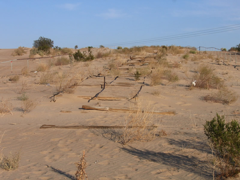
This close-up of the text on the historical plaque reveals that the original Plank Road was seven miles long, one-lane wide, and broken into eight-by-twelve foot sections. Horses moved the Plank Road whenever the shifting sands warranted, and turnouts were available to accommodate two-way traffic. The text of the plaque reads: "Plank Road, 1914 to 1927. This unique plank road seven miles long was the only means early motorists had for crossing the treacherous Imperial Sand Dunes. The eight by twelve foot sections were moved with a team of horses whenever the shifting sands covered portions of the road. Double sections were placed at intervals to permit vehicles to pass. California Registered Historical Landmark No. 845." Photo taken 01/27/06. |
|
The Old Plank Road found here is a replica of a historic route across the Imperial Sand Dunes, but it is placed as if it were functional. Although the Old Plank Road served as the only route across the Imperial Sand Dunes in the early 1900s, it never functioned as U.S. 80, because a regular highway was constructed to replace the Plank Road in 1926, the year U.S. 80 was created. Photo taken 01/27/06. |
|
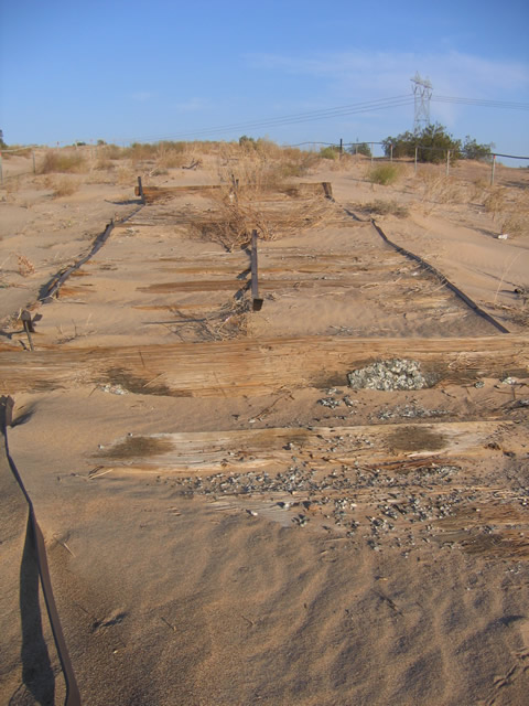
Constructed in 1915 and used from 1916 to 1926, the Old Plank Road harkens back to a time when engineers used wood to construct the road to compensate for the constantly shifting sands of the dunes. Newer construction, such as Grays Well Road (the frontage road/Historic U.S. 80), shows how road building technology has advanced. today's road, as well as the Interstate, feature a deep oil and asphalt base that prevents the road from shifting with the sands. Photo taken 01/27/06. |
|
Between 1999 and 2006, the shifting sands partially covered much of the Old Plank Road replica, which is a sign of the constant maintenance required to keep a replica intact and visible above the sands. We checked the area and found that several planks along the road were buried under sand. Photo taken 01/27/06. |
|
A cellular telephone tower, built to accommodate the crowds of people who camp and off-road in the Imperial Sand Dunes, provides a modern backdrop to this section of Old Plank Road. Photo taken 01/27/06. |
|
Planks, held together by steel strips, allowed for the road to hold together. This connection allowed for safe passage over the sand dunes, even on uphill grades such as this one. Photo taken 01/27/06. |
| Historic U.S. 80 east |
|---|
|
After departing from the California 186 (Algodones Road) interchange (Exit 166), Old U.S. 80 follows Araz Road along the north side of the freeway, offering a back way into Winterhaven. The Union Pacific Railroad, which comes down from the Coachella Valley, turns east to parallel U.S. 80 and Interstate 8 between here and Yuma. Photo taken 01/15/07. |
|
Passing by a long-term visitors area, U.S. 80 enters the Quechan (Fort Yuma) Indian Reservation, which extends east toward the Colorado River. Much of Winterhaven is surrounded by the Indian Reservation. Photo taken 01/15/07. |
|
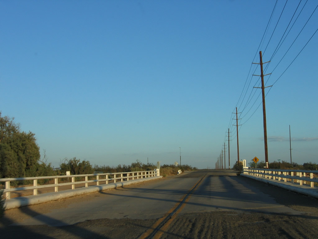
Several bridges carry U.S. 80 over the various desert washes between here and Winterhaven. Note the continuing use of older-style guardrail on this bridge approach after the long-term visitors area. Photo taken 01/15/07. |
|
White wooden railing and railroad track bridge railing are found on this bridge over the Araz Wash. Photo taken 01/15/07. |
|
|
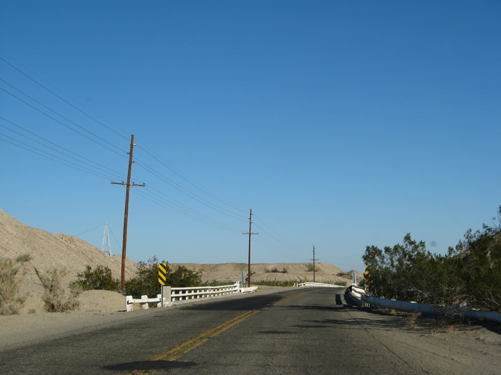
Shortly thereafter, U.S. 80 crosses the All-American Canal. The water flows from northeast to southwest here, as the canal takes the lowest route from the Colorado River west to the Imperial Valley. This bridge likely dates to the late 1930s, which is when most All-American Canal crossings were built (along with the canal itself). Photos taken 01/15/07. |
|
The old alignment of U.S. 80 is a rough road after the All-American Canal bridge crossing. Photo taken 01/15/07. |
|
On both sides of the old road, recreational vehicles take up residence in the desert scrub. During the winter, people come from all over the West to this part of the country to enjoy warm weather and comfortable temperatures. Due to the heat of summer, this area is not nearly as popular in June or July. A small culvert is protected by more white wooden railing. Photo taken 01/15/07. |
|
Continuing east, the old highway remains in desert scrub. However, the fertile agricultural land of the Colorado River valley lies ahead. Photo taken 01/15/07. |
|
Araz Road bends a bit to briefly parallel the All-American Canal, then aims southeast toward Winterhaven. Photo taken 01/15/07. |
|
Straightening out, old U.S. 80 passes through a stand of palo verde trees and enters irrigated agricultural land. Photo taken 01/15/07. |
|
Agriculture is one of the mainstays of the Winterhaven economy. Old U.S. 80 passes by agricultural fields similar to the ones seen in the Imperial Valley to the west. Photo taken 01/15/07. |
|
U.S. 80 passes by Quick Road and Yuma Road as it continues east toward Winterhaven. Photo taken 01/15/07. |
|
At this point, the old alignment of U.S. 80 merges into Business Loop I-8, which travels the rest of the way east to Winterhaven and Yuma along the old U.S. 80 corridor. Note the sharp right turn and stop sign at the intersection with Business Loop I-8. Photo taken 01/15/07. |
|
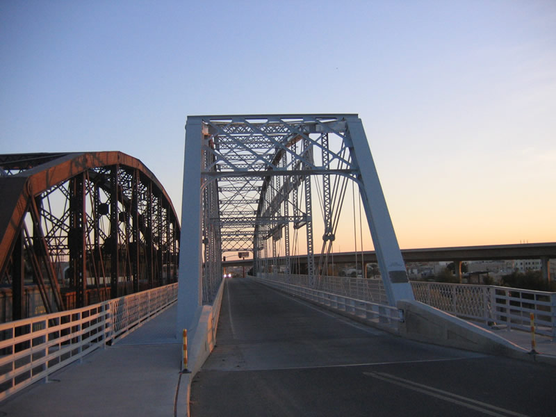
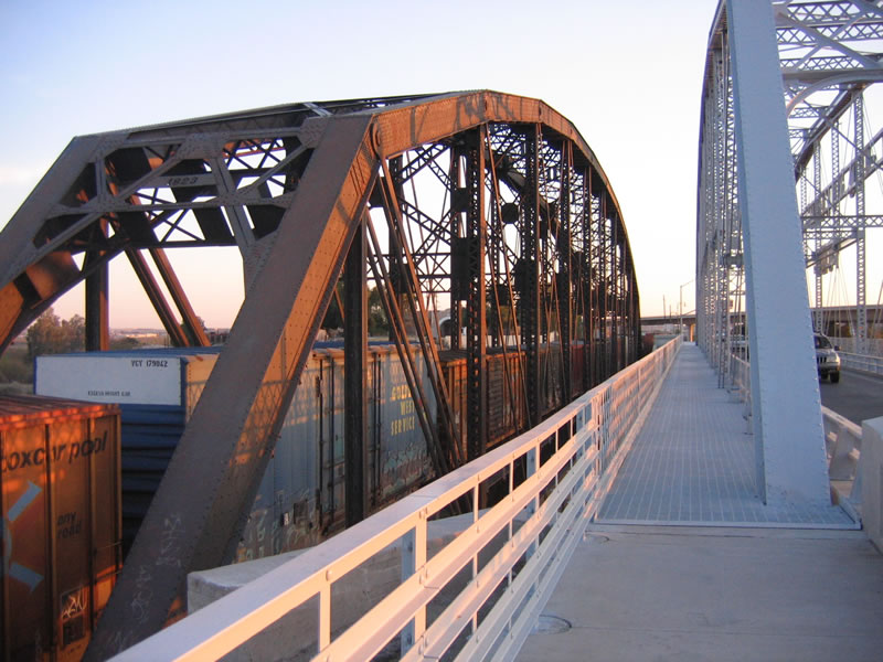
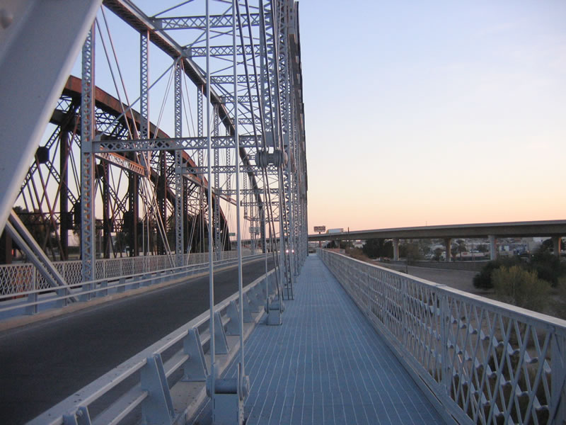
The bridge deck is only one lane wide with limited shoulders on either side of the travel lane. Photo taken 01/27/06. |
|
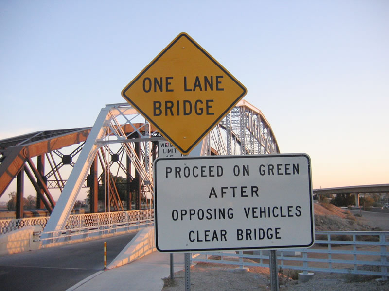
The Ocean to Ocean Highway Bridge is only one way, so a traffic signal allows alternating directions of traffic to use the bridge. This sign advises motorists on how to proceed across the old bridge (alternating directions). Photo taken 01/27/06. |
|
|
|
Bridge walkways were added to both sides of the Ocean to Ocean Highway Bridge as part of a bridge refurbishment project in 2002. The bridge had been open only to walkers and bicyclists before the refurbishment project, but the renewed bridge had a vehicle lane along with walkways on either side. Photos taken 01/27/06. |
|
This plaque identifies the age of the superstructure for the bridge (1914). The bridge is widely recognized with an opening date in 1915. It was bypassed in 1956 (modern Business Loop I-8 leading into Yuma), and that structure was bypassed in 1978 when modern Interstate 8 opened. Both the 1915 and 1956 bridges had been designated as U.S. 80 at one time. Photo taken 01/27/06. |
|
The Ocean to Ocean Highway lands in Arizona, and the highway widens out back to two lanes. The roadway changes into Penitentiary Avenue, which passes Yuma Territorial Prison State Park, then turns west onto East First Street. From there, First Street travels west through downtown Yuma and connects with Business Loop I-8 (Fourth Avenue). Photo taken 01/27/06. |