

U.S. 95 North - Riverside County to Five Mile Road
| U.S. 95 north | |
|---|---|
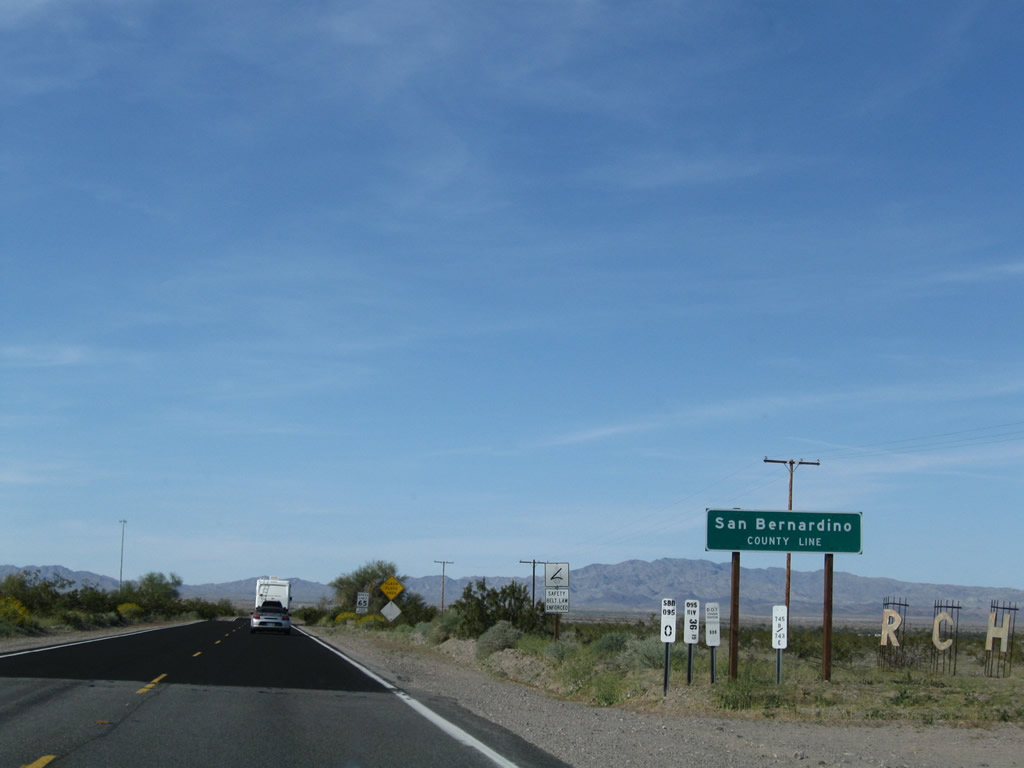 |
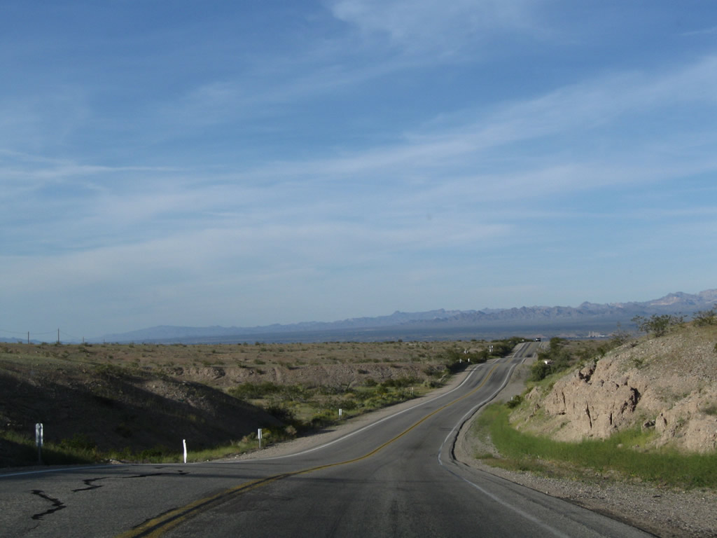
Northbound U.S. 95 leaves Riverside County and enters San Bernardino County. From here, the highway turns northwest toward Vidal and Vidal Junction. Photo taken 03/14/09. |
 |
After passing into San Bernardino County, U.S. 95 enters a flash flood area, especially during summer thunderstorms that might bring floodwaters downhill. Photo taken 03/14/09. |
 |
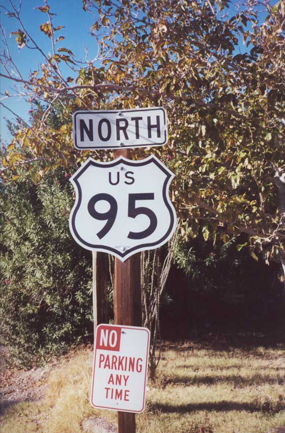
A U.S. 95 north reassurance shield is posted shortly thereafter. Photo taken 03/14/09. |
 |
Another high-voltage power line, which leads from the power plant west of Blythe north and then west to Parker Dam, crosses over U.S. 95 at this point. Photo taken 03/14/09. |
 |
U.S. 95 enters Vidal, which marks the location where the highway crosses the east-west railroad tracks that generally parallel California 62. Photo taken 03/14/09. |
 |
The community sits off to the side of the highway (look for the right turn to Main Street into town). Limited services are available here; proceed north to Vidal Junction (intersection of U.S. 95 and California 62) for food and gas. Photo taken 03/14/09. |
 |
Northbound U.S. 95 crosses the railroad shortly thereafter. Photo taken 03/14/09. |
 |
Soon thereafter, northbound U.S. 95 approaches California 62. California 62 travels east to Parker, Arizona, and west to Rice and Twenty-nine Palms (with a connection to Desert Center and Interstate 10 via California 177 south). Photo taken 03/14/09. |
 |
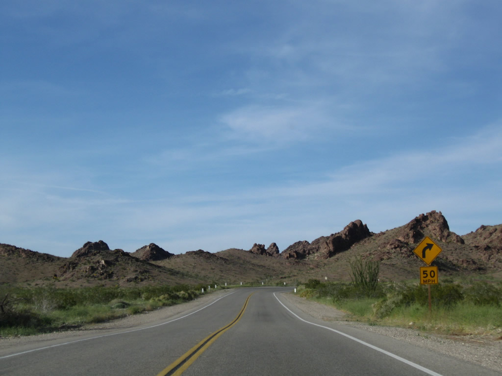
The four-way intersection is governed by a stop sign. A gas station is located at this intersection along with the closed Vidal Junction Cafe. Immediately to the east on California 62 is a California Inspection Station, and a cafe is located here as well. Gas, food, lodging, and other services are available in Parker, Arizona, east of here. Photo taken 03/14/09. |
 |
Northbound U.S. 95 meets California 62 at this intersection in Vidal Junction. Turn left (west) to Twenty-nine Palms and right (east) to Parker (for most motorist services). Vidal Junction hosts the only services between Blythe and Needles; it is not the same as Vidal (located to the south of this intersection), which has no services. Photo taken 03/14/09. |
 |
 |
 |
This series of photos shows a U.S. 95 north reassurance shield after the California 62 junction in Vidal Junction. By 2009, this reassurance shield was gone and no longer in place. Photos taken 11/10/00. |
 |
This mileage sign along U.S. 95 north provides the distance to Needles (49 miles), Searchlight (103 miles), and Las Vegas (156 miles). Photo taken 03/14/09. |
 |
Plan on driving all the way to Needles for the next motorist services (49 miles). Photo taken 03/14/09. |
 |
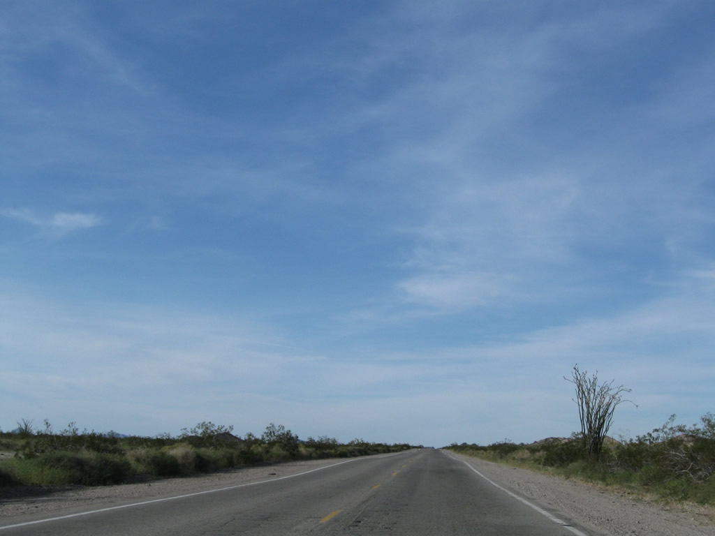
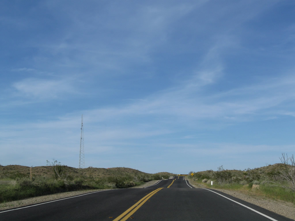
Two-lane U.S. 95 continues north toward Needles. The highway is a bit straighter as it strays away from the river and follows a path northwest through the Vidal Valley. The Mopah Range appears in the distance. Photo taken 03/14/09. |
 |
U.S. 95 turns north again. Photo taken 03/14/09. |
 |
A reassurance shield for U.S. 95 north is posted thereafter. Photo taken 03/14/09. |
 |
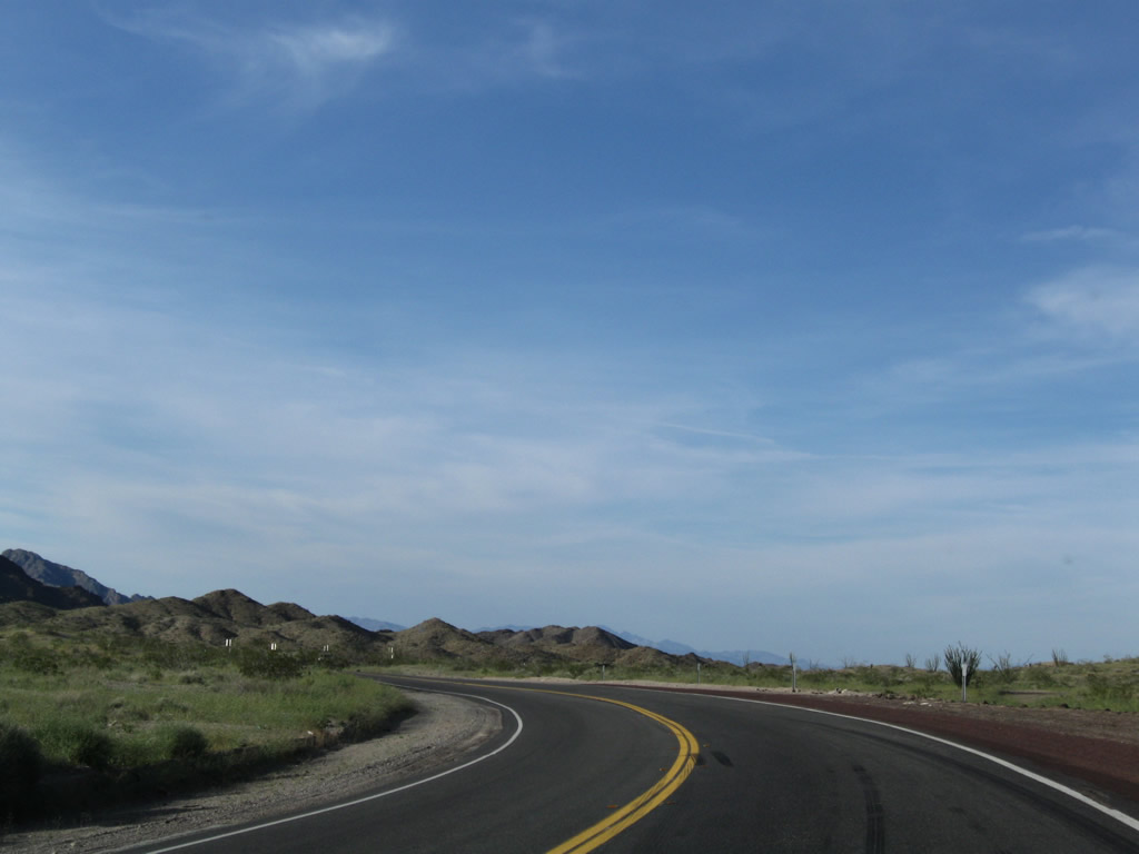
Passing by Pyramid Butte, U.S. 95 eventually leaves the Vidal Valley and enters the Chemehuevi Valley. Photo taken 03/14/09. |
 |
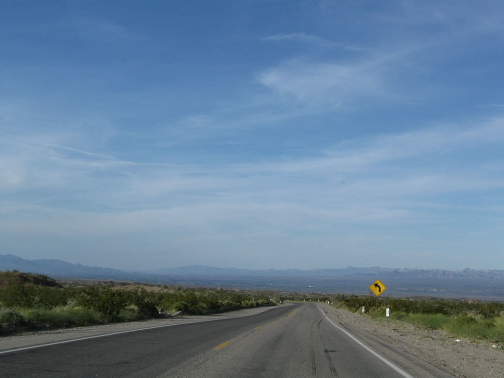
The Chemehuevi Valley spreads out in front of northbound travelers. The low point in the valley is the Chemehuevi Wash; the highway ascends to Lobecks Pass (el. 1,520 feet). The Colorado River is a good 20-25 miles east of here (even farther to the Parker Dam area northeast of Parker, Arizona). Photo taken 03/14/09. |
 |
U.S. 95 passes the low point in the Chemehuevi Valley, which is the Chemehuevi Wash; the highway ascends to Lobecks Pass from here. Photo taken 03/14/09. |
 |
It's all uphill from the Chemehuevi Wash en route to Lobecks Pass. Photo taken 03/14/09. |
 |
The Sawtooth Range and Snaggletooth (el. 2,180 feet) rise above the Chemehuevi Valley as we continue north on U.S. 95 between Vidal and Needles. Photo taken 03/14/09. |
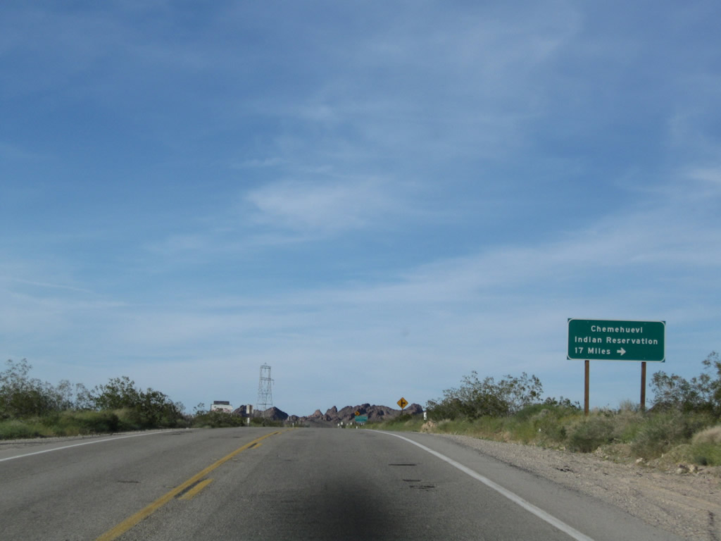 |
Northbound U.S. 95 approaches Havasu Lake Road east to the Chemehuevi Valley Indian Reservation located along the Colorado River. Photo taken 03/14/09. |
 |
Turn right to follow Havasu Lake Road southeast to the Chemehuevi Valley Indian Reservation. Although this road ends at Havasu Lake on the west bank of Lake Havasu (impounded along the Colorado River by Parker Dam), there is no land access to Lake Havasu City, Arizona. Boaters may access the lake from the California side at Havasu Lake on the west side of the state line. London Bridge in Arizonan connects the Arizona shore with an island in the lake, but it does not extend all the way into California. Photo taken 03/14/09. |
 |
A high-voltage power transmission line crosses U.S. 95; it travels southeast to Parker Dam and carries electricity toward Los Angeles. This same power line crosses Interstate 40 at the Water Road interchange (Exit 120). Photo taken 03/14/09. |
 |
This mileage sign provides the distance to Needles (21 miles), Searchlight (75 miles), and Las Vegas (128 miles). Photo taken 03/14/09. |
 |
Continuing to ascend toward Lobecks Pass, U.S. 95 turns a bit northeast to pass through the Sawtooth Range. Photo taken 03/14/09. |
 |
A missing U.S. 95 reassurance shield is located near the Snaggletooth in the Sawtooth Range. Photo taken 03/14/09. |
 |
 |
 |
U.S. 95 passes through the Sawtooth Range between the Chemehuevi Valley and Lobecks Pass. Mountain scenery replaces desert valley solitude along northbound. Photos taken 03/14/09. |
 |
 |
 |
|
 |
 |
 |
U.S. 95 crosses Lobecks Pass and begins a gradual descent into the Mojave Valley and Needles. To the east are the Chemehuevi Mountains and to the west are the Sacramento Mountains. Photos taken 03/14/09. |
 |
 |
 |
U.S. 95 continues between the Chemehuevi Mountains and Sacramento Mountains. Watch for turns and grades through this mountainous segment of U.S. 95. Photos taken 03/14/09. |
 |
 |
 |
|
 |
 |
 |
|
 |
 |
 |
U.S. 95 descends into the Mojave Valley. Watch for slow vehicles on this long descent. The Colorado River and Arizona's Mohave Valley also come into view. Photos taken 03/14/09. |
 |
 |
 |
 |
A U.S. 95 north reassurance shield is posted at the along the downgrade from Lobecks Pass. Photo taken 03/14/09. |
 |
Northbound U.S. 95 continues to descend toward Needles and the Mojave Valley. Photo taken 03/14/09. |
 |
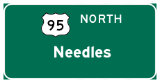
U.S. 95 enters the city of Needles, located in the Mojave Valley through which the Colorado River runs. Founded in 1883 with the coming of the railroad, and incorporated October 30, 1913, Needles had a population of 4,830 people as of the 2000 Census. A welcome oasis in the desert, all motorist services are available in Needles. For travelers coming north on U.S. 95, Needles is the first incorporated city since leaving Blythe. Needles is known for its extreme summer temperatures, which can climb in excess of 120 degrees. Be mindful of this when traveling through the desert. Photo taken 03/14/09. |
 |
Soon thereafter, U.S. 95 approaches Historic U.S. 66 (Five Mile Road) east to Park Moabi, Topock, Golden Shores, Oatman, and Kingman. Stay left for U.S. 95 north to Needles. Photo taken 03/14/09. |
 |
Northbound U.S. 95 meets U.S. 66 at Five Mile Road east. From here, U.S. 95 and U.S. 66 proceed northwest into Needles. Photo taken 03/14/09. |

Page Updated August 2, 2009.
|
About Contact Glossary |
In The News Testimonials Interstate Guide |
Social Media:
 |
|
© 2000-23 AARoads.com | All Rights Reserved | Privacy Policy / Terms of Use
|
||