

U.S. 95 North - Five Mile Road to Nevada
| U.S. 95 north & Historic U.S. 66 west | |
|---|---|
 |
A U.S. 95 trailblazer is posted after the intersection with Historic U.S. 66. Photo taken 03/14/09. |
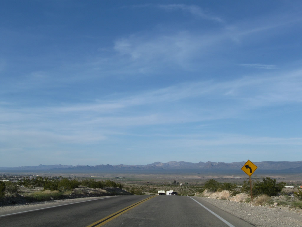 |
U.S. 95 descends into Mojave Valley; the Colorado River again comes into view. Photo taken 03/14/09. |
 |
Northbound U.S. 95 and Historic U.S. 66 approach the left turn for Spikes Road. Photo taken 03/14/09. |
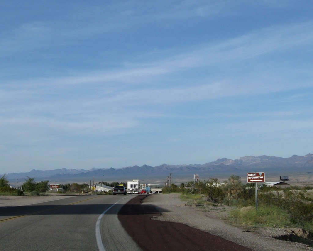 |
The Mojave Desert Information Center, which features maps, hiking suggestions, and attractions is located on the west side of U.S. 95 prior to the Interstate 40 interchange. Photo taken 03/14/09. |
 |
Needles is located in the Mojave Valley along the Colorado River. The city was founded in 1883 with the coming of the railroad, and incorporated October 30, 1913, Needles had a population of 4,830 people as of the 2000 Census. Photo taken 03/14/09. |
 |
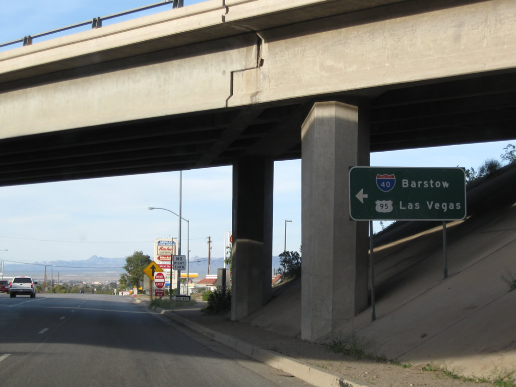
The next right connects U.S. 95 to Interstate 40 east to Kingman and Flagstaff. Photo taken 03/14/09. |
 |
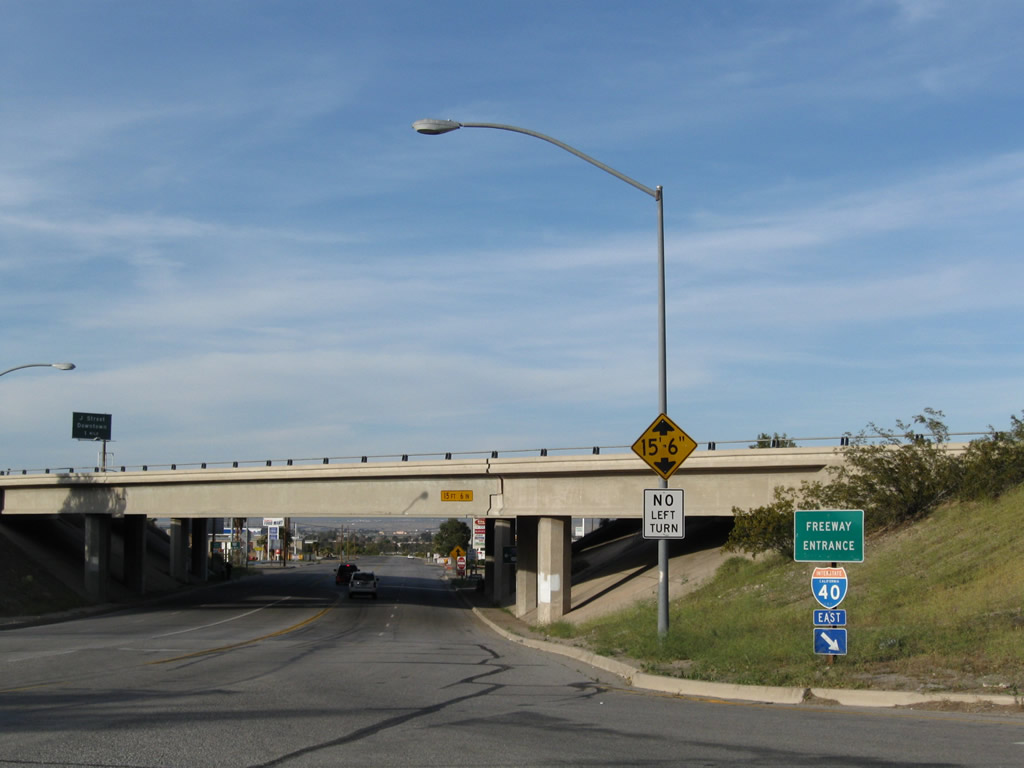
A pair of bridges Interstate 40 over U.S. 95. Photo taken 03/14/09. |
 |
U.S. 95 leaves Broadway and Historic U.S. 66 to turn onto Interstate 40 west while Business Loop I-40 continues east into Downtown Needles. 03/14/09 |
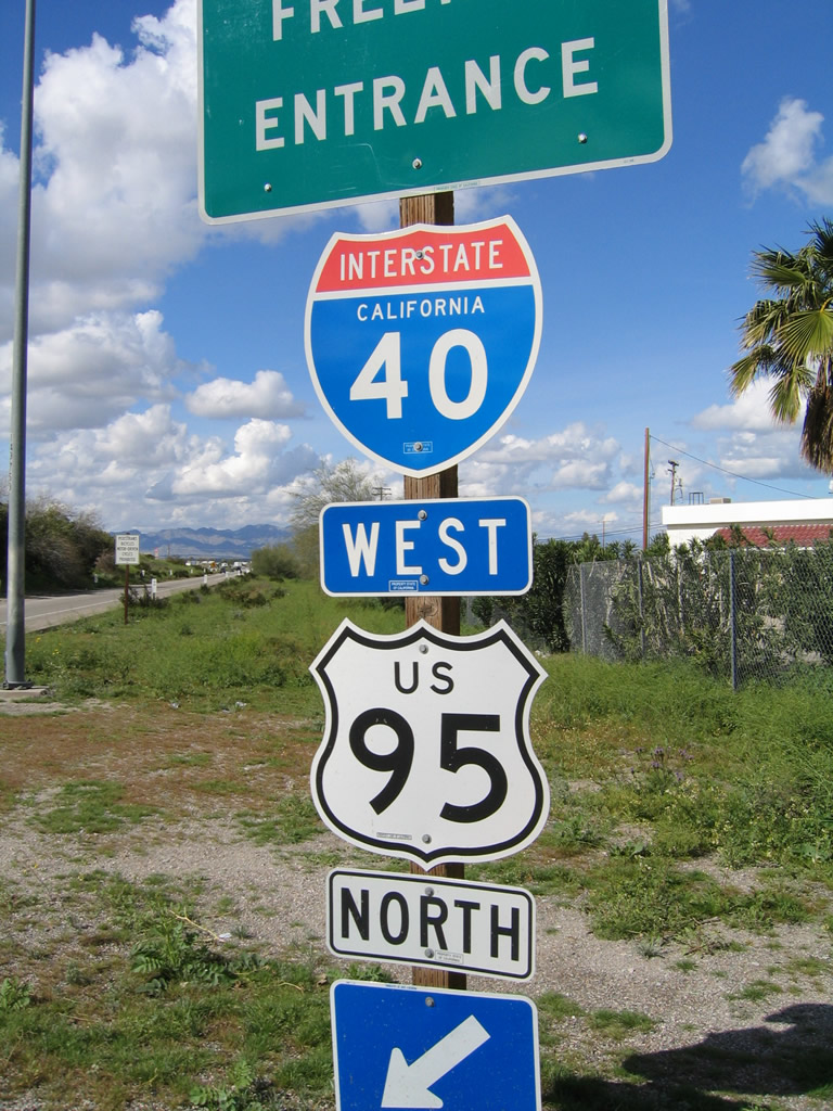 |
Both Interstate 40 and U.S. 95 are posted on the freeway entrance shield assembly from Business Loop I-40 and U.S. 95 to Interstate 40 west. Photo taken 02/20/05. |
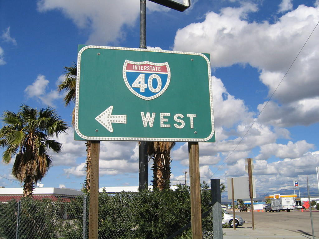 |
However, the green guide sign only shows Interstate 40 west and not U.S. 95 north. Photo taken 02/20/05. |
| U.S. 95 north & Historic U.S. 66 west | |
|---|---|
 |
This view looks north across the Interstate 40 bridge toward northbound U.S. 95 and Historic U.S. 66. Photo taken 02/20/05. |
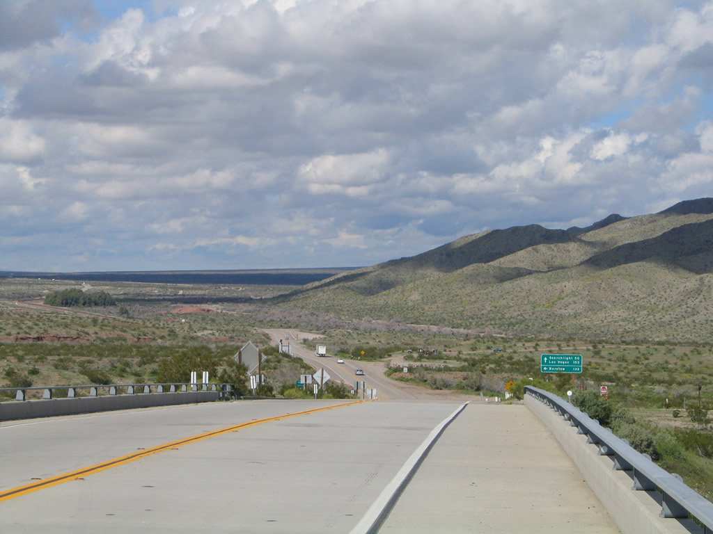 |
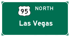
U.S. 95 and Historic U.S. 66 share alignment until a point near Ibis, then split. Historic U.S. 66 continues west to Essex and Amboy, while U.S. 95 turns north toward Searchlight and Las Vegas in Nevada. Photo taken 02/20/05. |
 |
 |
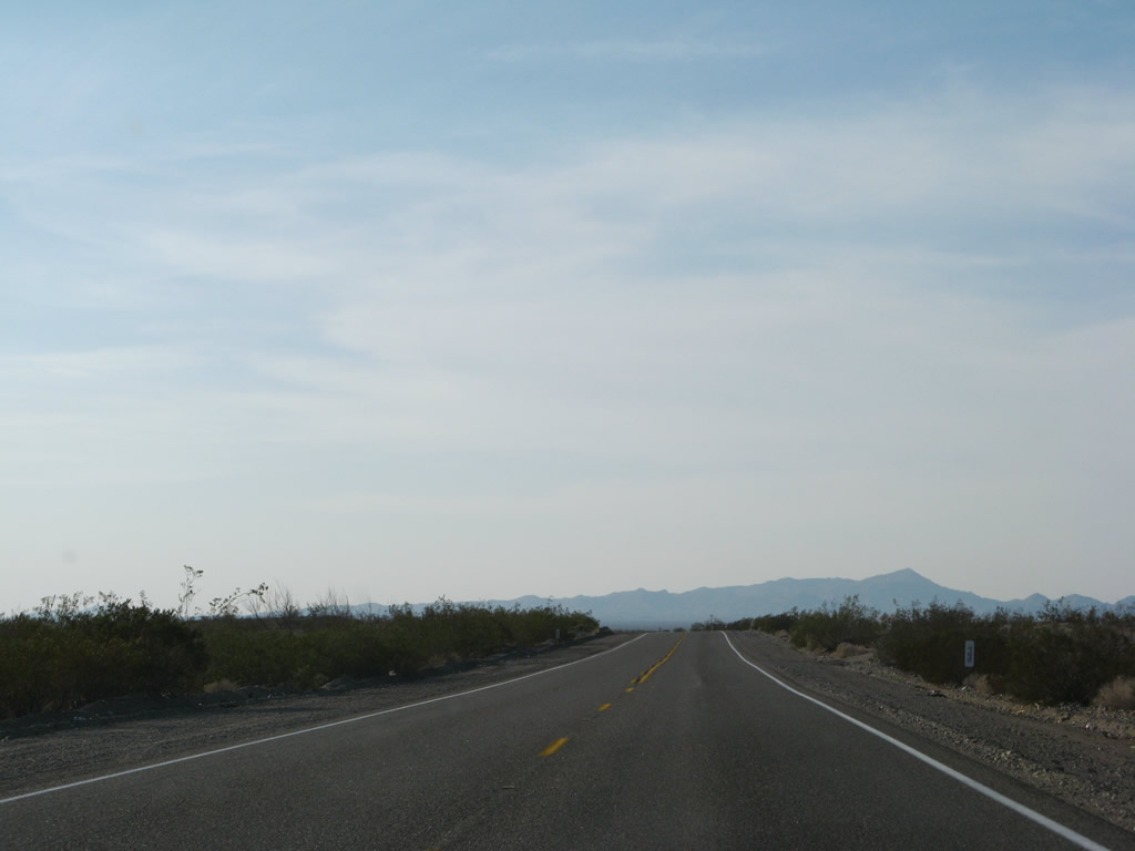 |
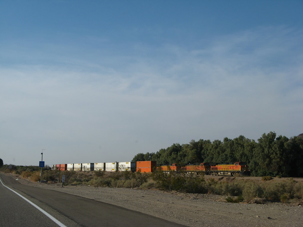
The two-lane highway follows the Burlington Northern Santa Fe (BNSF) Railroad as it proceeds northwest toward Ibis and Goffs. Photos taken 04/01/07. |
 |
U.S. 95 and Historic U.S. 66 split ahead. Turn left to follow the pre-1931 alignment of U.S. 66 west to Goffs or cross the railroad to continue north along U.S. 95 to Searchlight and Las Vegas in Nevada. Photo taken 04/01/07. |
 |
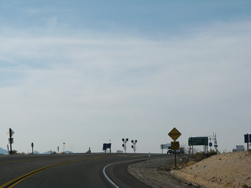
A mileage sign for destinations via U.S. 95 north (Searchlight and Las Vegas) and Historic U.S. 66 west (Goffs) is posted prior to the railroad crossing. Photo taken 04/01/07. |

Page Updated August 2, 2009.
|
About Contact Glossary |
In The News Testimonials Interstate Guide |
Social Media:
 |
|
© 2000-23 AARoads.com | All Rights Reserved | Privacy Policy / Terms of Use
|
||