
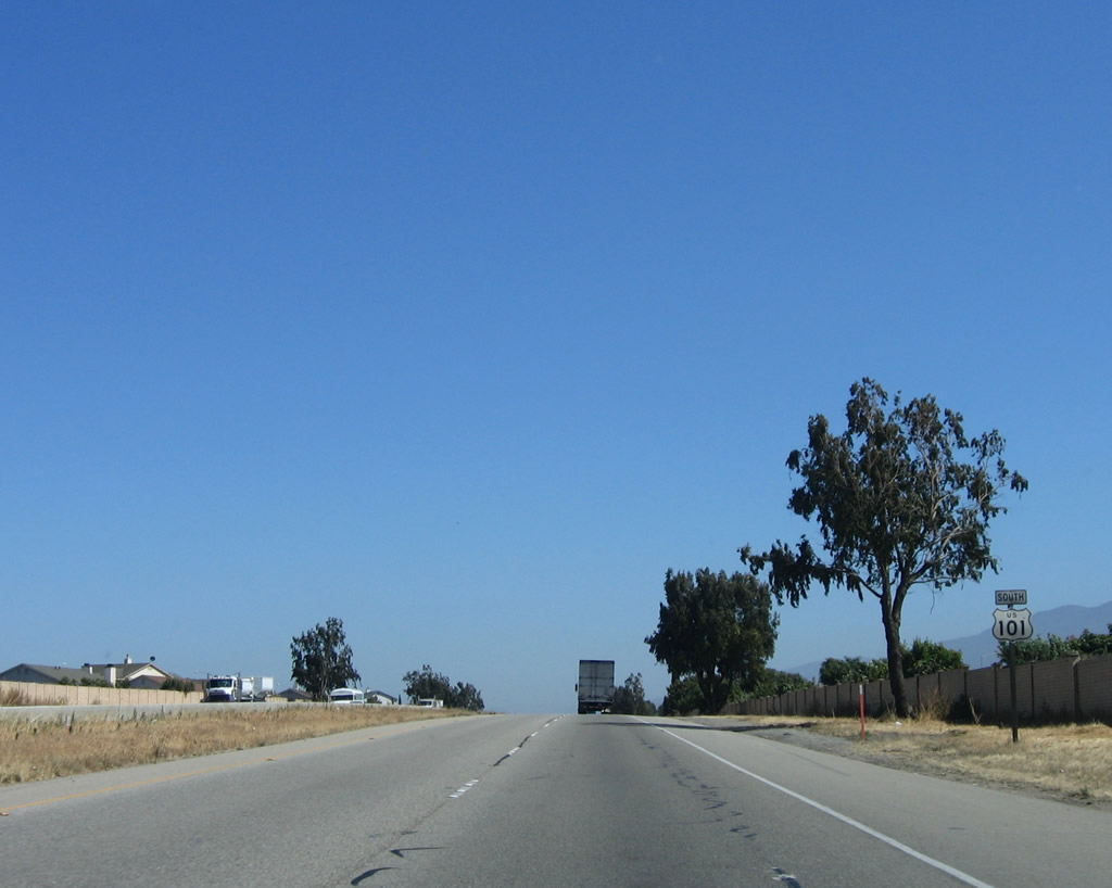
U.S. 101 South - Monterey County
In Monterey County, U.S. 101 does not come close to the famous Monterey Bay or the 17-Mile Drive. However, it does pass through some scenic farming country, including land familiar to author John Steinbeck, who wrote the book The Grapes of Wrath, which told the story of the Joad Family as it left Oklahoma during the Great Depression for the riches of the Central Valley of California. This is a must-read for any road enthusiast, especially with its telling description of U.S. 66 throughout the story. Several Steinbeck artifacts may be found in Salinas, the largest city along U.S. 101 between Santa Barbara and San Jose. U.S. 101 leaves Monterey County in a eucalyptus forest near Prunedale.
| U.S. 101 south | |
|---|---|
 |
Prior to the intersection with San Juan Road, U.S. 101 leaves San Benito County and enters Monterey County. Photo taken by Jeff Waller (10/13/07). |
 |
Southbound U.S. 101 and westbound California 156 reach Exit 343, Monterey County G-11/San Juan Road west to Pajaro and Watsonville. At this point, U.S. 101 again turns south. Photo taken 11/27/04. |
 |
Another set of U.S. 101 and California 156 shields are posted after the Monterey County G-11 intersection. Photo taken 11/29/04. |
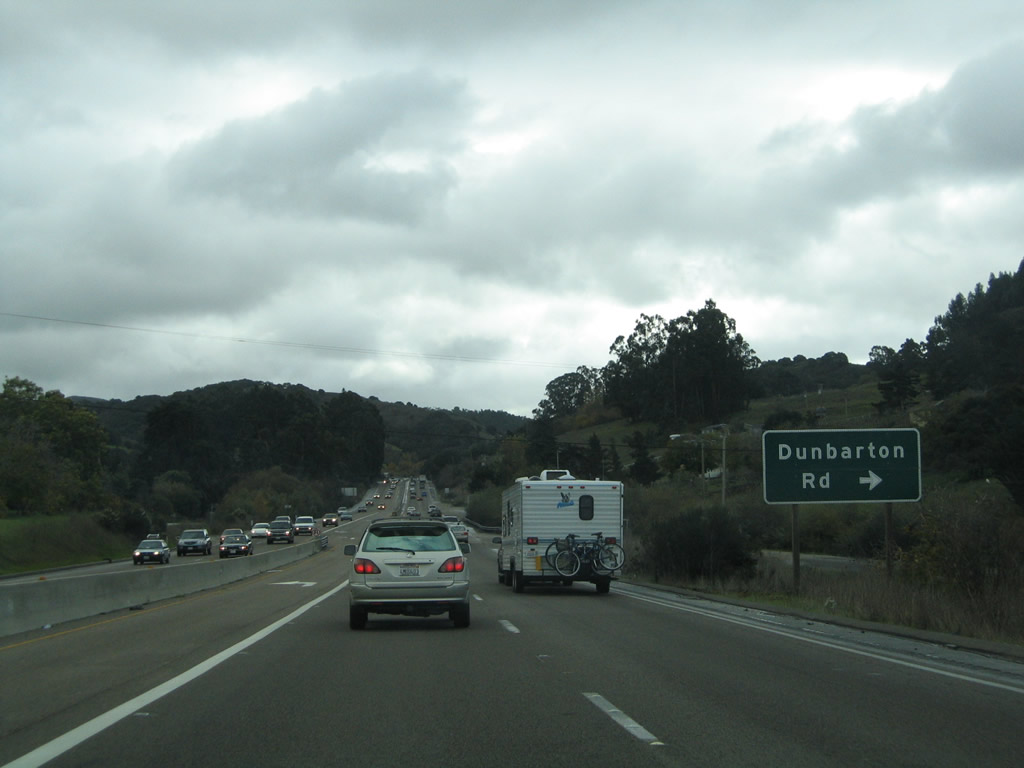 |
The next intersection along U.S. 101 south and California 156 west is with Dunbarton Road. Photo taken 11/27/04. |
 |
Shortly thereafter, U.S. 101 south and California 156 west approach the Echo Valley Road intersection. Photo taken 11/27/04. |
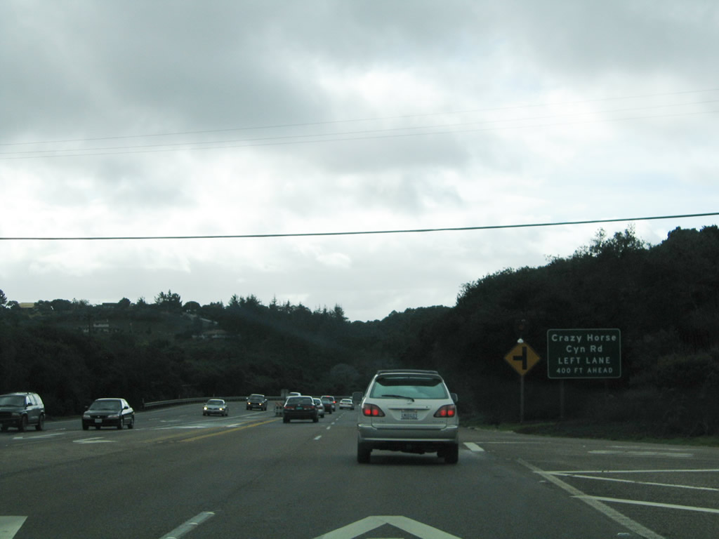 |
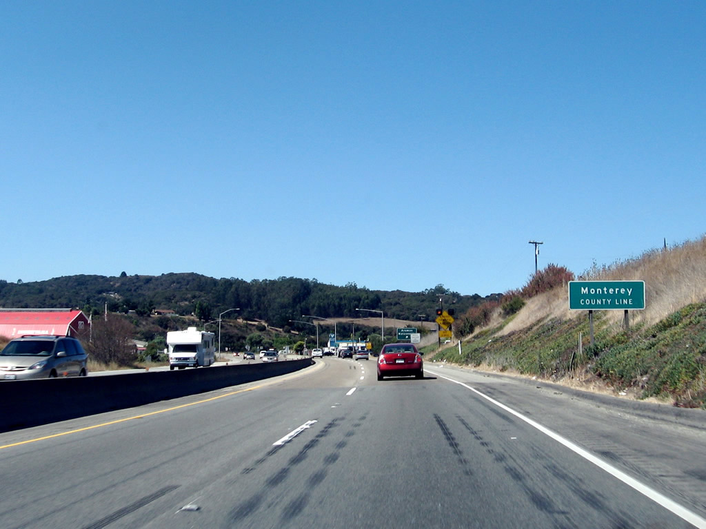
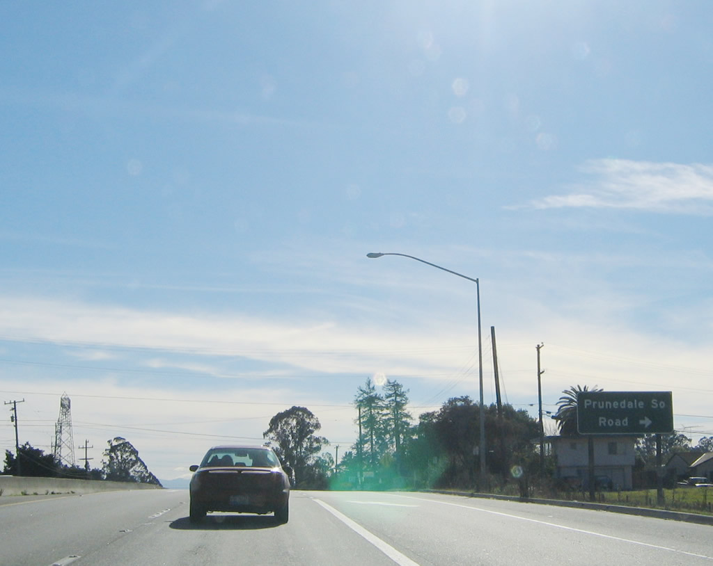
The next intersection along U.S. 101 south and California 156 west is with Crazy Horse Canyon Road south. At this point, U.S. 101 turns a bit to the southwest toward Prunedale. Photo taken 11/27/04. |
 |
Southbound U.S. 101 (El Camino Real) and westbound California 156 approach Moro Road. Photo taken 11/27/04. |
|
Southbound U.S. 101 and westbound California 156 approach Moro Road. Photo taken 11/27/04. |
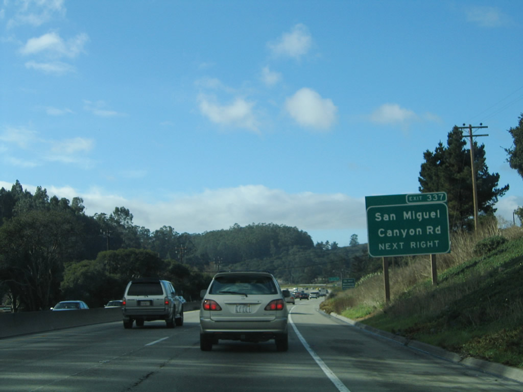 |
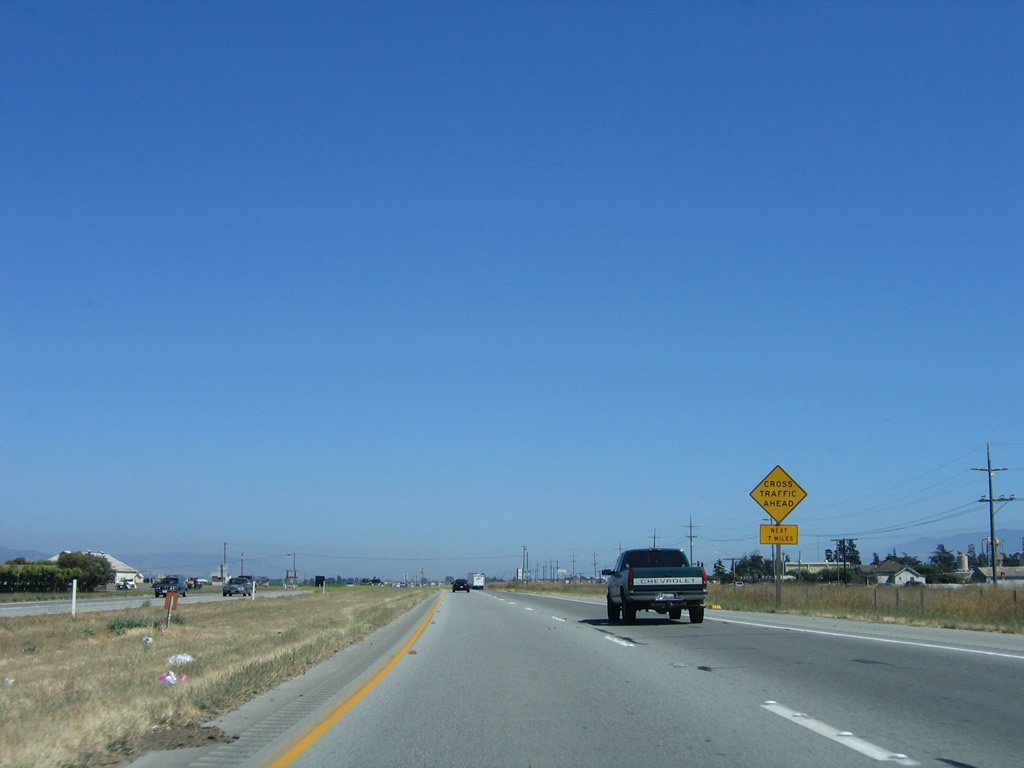
The next exit along southbound U.S. 101 and westbound California 156 is Exit 337, Monterey County G-12/San Miguel Canyon Road. Photo taken 11/27/04. |
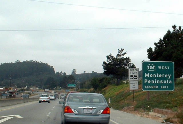 |
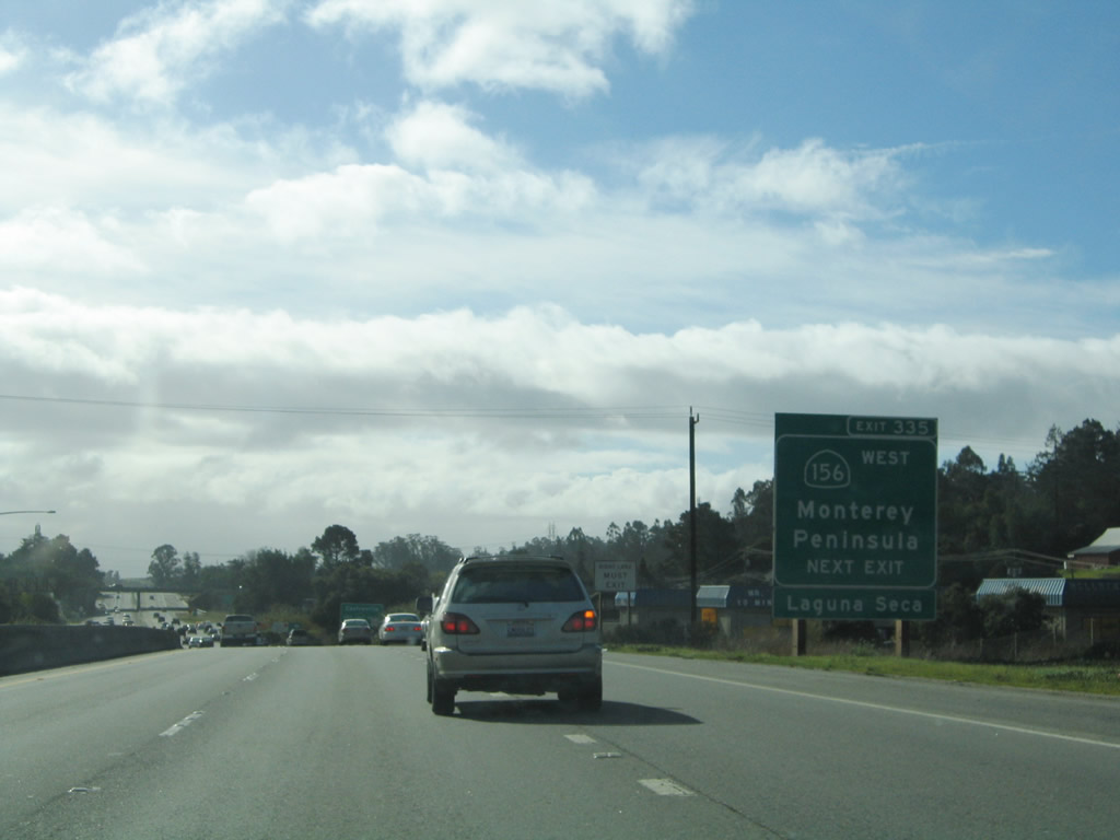
Use Exit 335, California 156 west to the Monterey Peninsula via the second exit. The next exit along southbound is Exit 337, Monterey County G-12 north to Pajaro and Watsonville. Photo taken 08/18/03. |
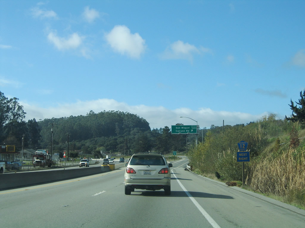 |
The Monterey County G-12 trailblazer omits the "G" prefix and refers to San Miguel Canyon Road as Monterey County 12. The freeway resumes here, and U.S. 101 is again traveling due south. Photo taken 11/27/04. |
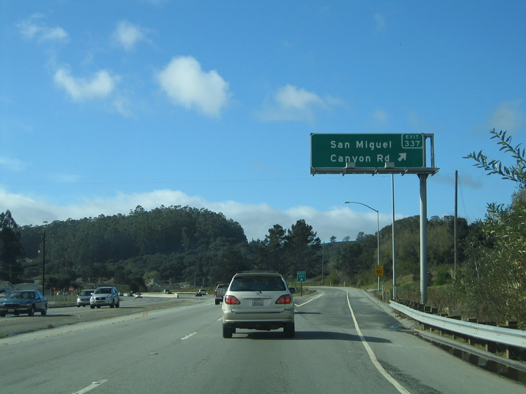 |
Southbound U.S. 101 & California 156 reaches Exit 337, Monterey County G-12/San Miguel Canyon Road. County Route G-12 heads northwest toward Watsonville. Photo taken 11/27/04. |
 |
 |
Southbound U.S. 101 and westbound California 156 split at Exit 335, California 156 west in Prunedale. California 156 splits west toward the coast, connecting with California 1 north of the Monterey Peninsula. The rest of California 156 is a very congested, two-lane highway that needs to be a freeway given its traffic volumes. The interchange with U.S. 101 was under construction in the 2003 photo, and a freeway-to-freeway connection was installed by 2004. Photos taken 11/27/04 and 08/18/03. |
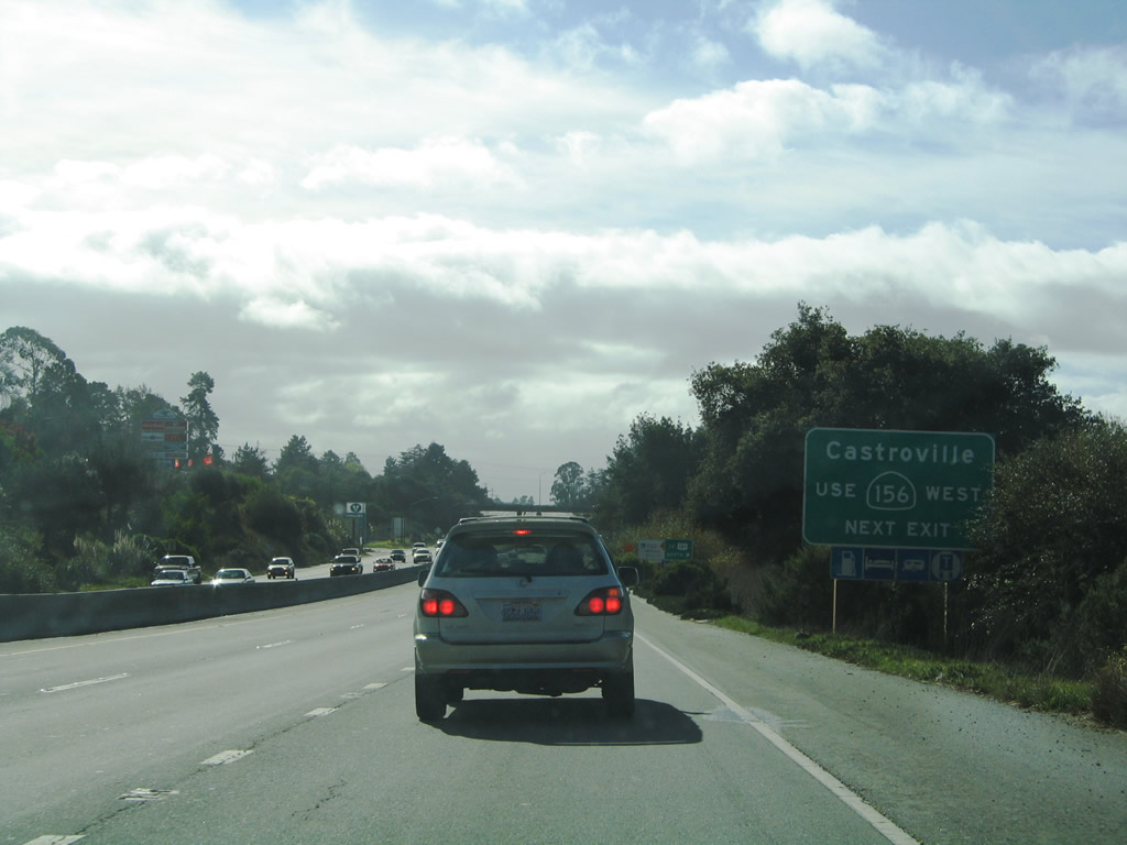 |
Use California 156 west to California 183 north to Castroville, which sits near the coast between Moss Landing to the north and the Salinas River outlet on the south. Photo taken 11/27/04. |
 |
 |
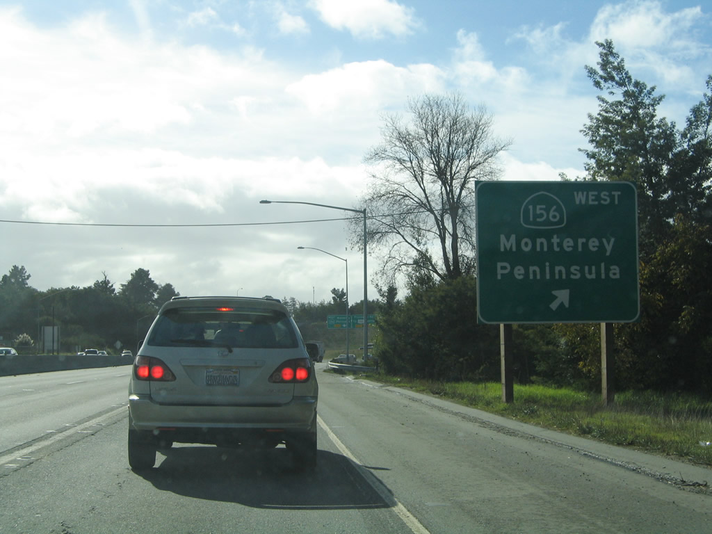
Southbound U.S. 101 splits from California 156 west at Exit 335. U.S. 101 continues south to Salinas, and California 156 travels west on a two-lane alignment to Castroville and Monterey. All roads that lead to Monterey reduce to a two-lane configuration at some point no matter what direction. Photos taken 11/27/04 and 08/18/03. |
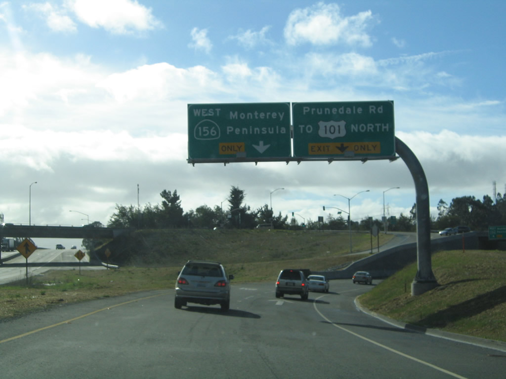 |
Now on the transition ramp, the left lane connects to California 156 west, while the right lane connects to Prunedale Road east. For traffic forced to use U.S. 101 south due to the limited access nature of the expressway, follow Prunedale Road east to the northbound side of the freeway. Photo taken 11/27/04. |
 |
The left lane splits to California 156 west, while the right lane connects to Prunedale Road east. Photo taken 07/05/06. |
 |
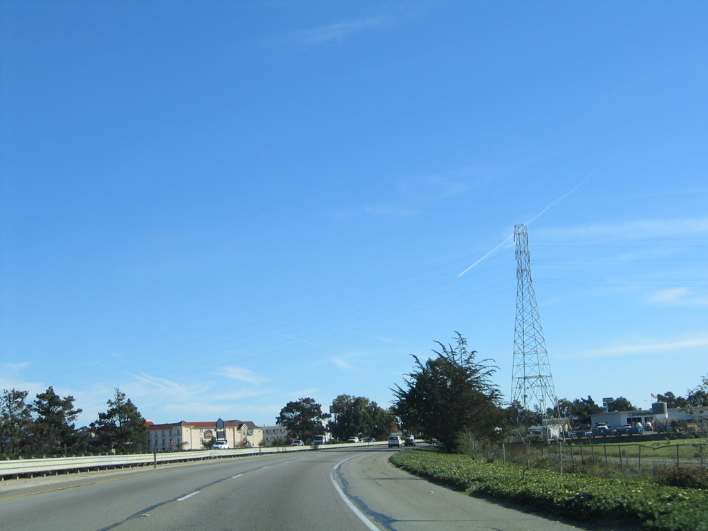
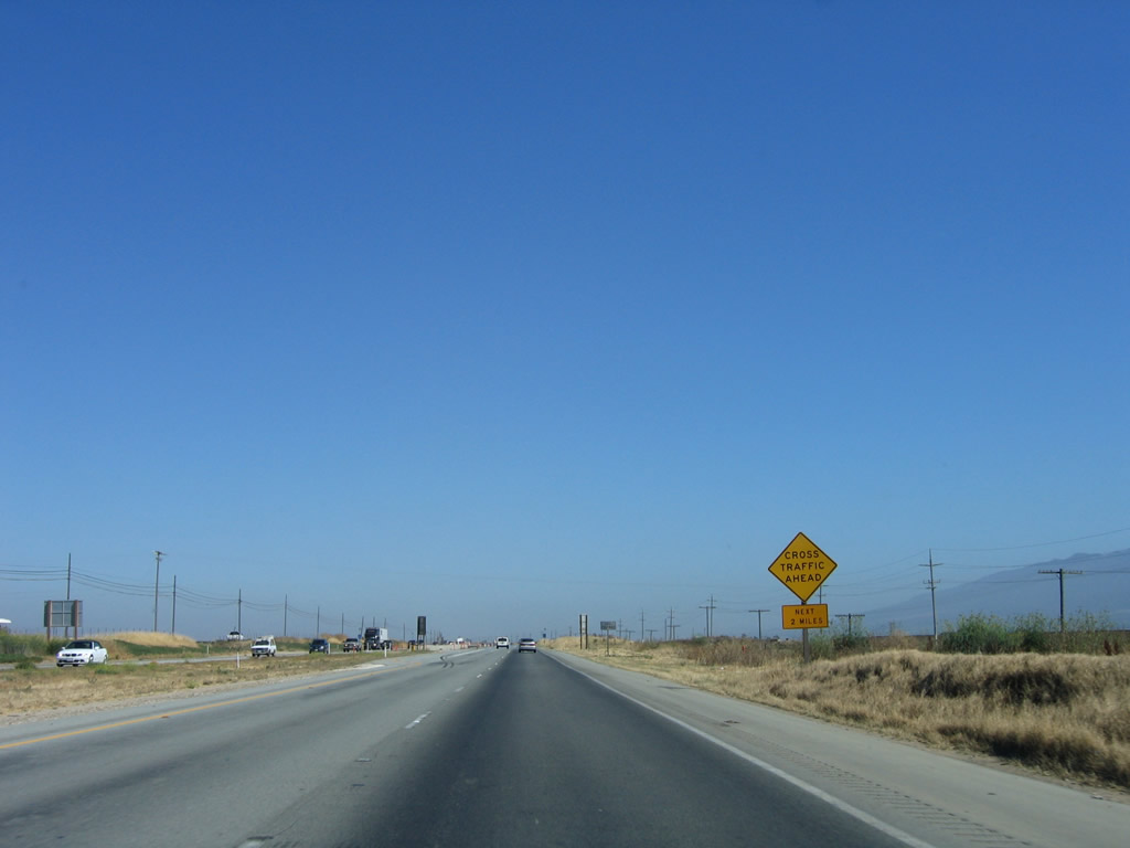
After the California 156 interchange, U.S. 101 south again reverts to an expressway alignment. The next intersection along southbound is with Prunedale South Road. In the distance is another 500kV power line connecting the major north-south power line corridor (Path 15) in the Central Valley with the Moss Landing Power Generating Station west of here. This 500kV powerline (maintained by Pacific Gas and Electric) connects with the 500kV power line that crossed U.S. 101 in southern San Jose at Moss Landing. Photo taken 11/29/04. |
 |
Southbound U.S. 101 approaches Reese Circle and Blackie Road. Photo taken 11/29/04. |
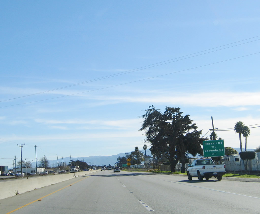 |
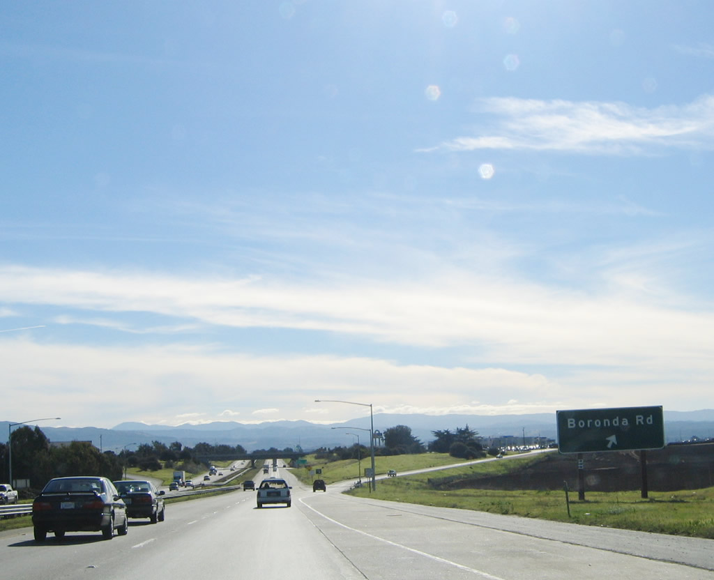
Since there is no left turn access to Russell Road, traffic must use the Boronda Road interchange (Exit 331). Photo taken 11/29/04. |
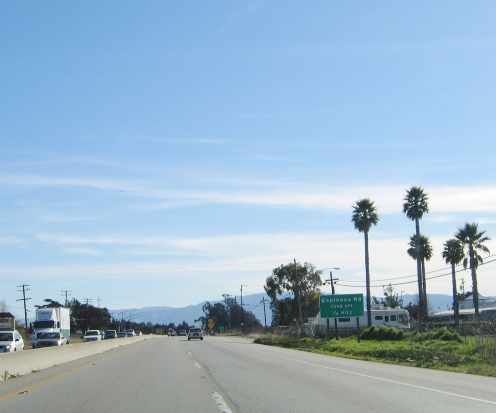 |
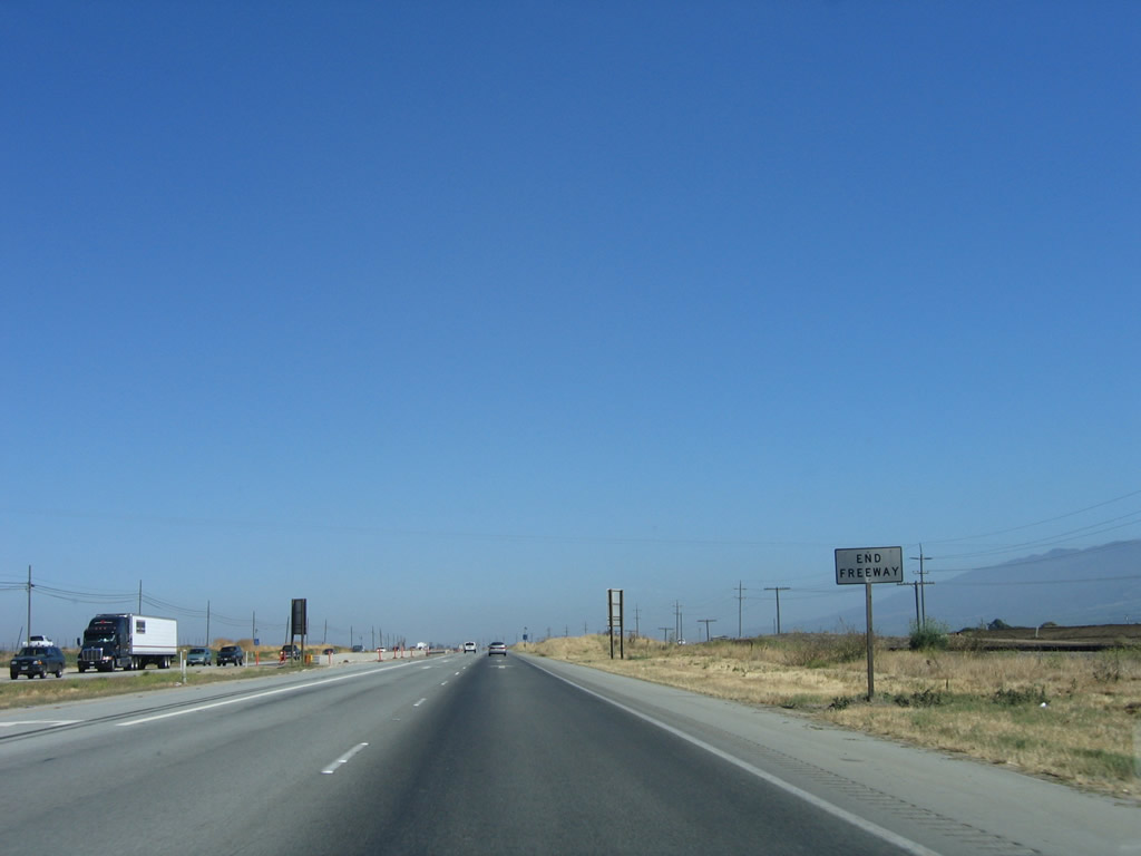
The final intersection along this expressway segment of U.S. 101 is with Espinosa Road. After this intersection, U.S. 101 again becomes a freeway. Photo taken 11/29/04. |
 |
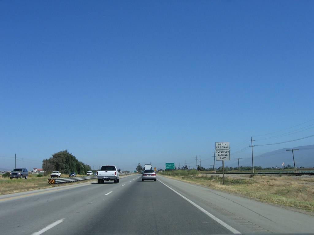
Shortly thereafter, a begin freeway sign is posted, followed by a reassurance shield for U.S. 101 south. Photo taken 11/29/04. |
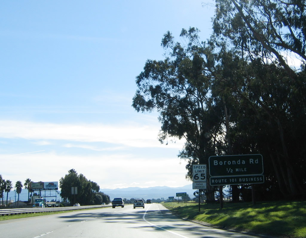 |
The next interchange along U.S. 101 south is Exit 331, U.S. 101 Business/North Main Street and Boronda Road. Photo taken 11/29/04. |
 |
Southbound U.S. 101 reaches Exit 331, U.S. 101 Business/North Main Street and Boronda Road. The business route serves greater Salinas between Exit 331 and the Abbott Street interchange. It is a fairly long signed business route for U.S. 101. Photo taken 11/29/04. |
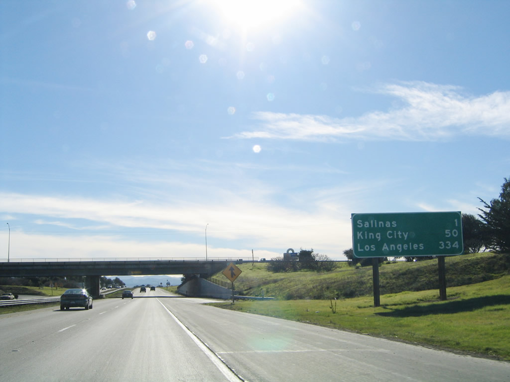 |
This mileage sign provides the distance to Salinas (one mile), King City (50 miles), and Los Angeles (334 miles). Photo taken 11/29/04. |
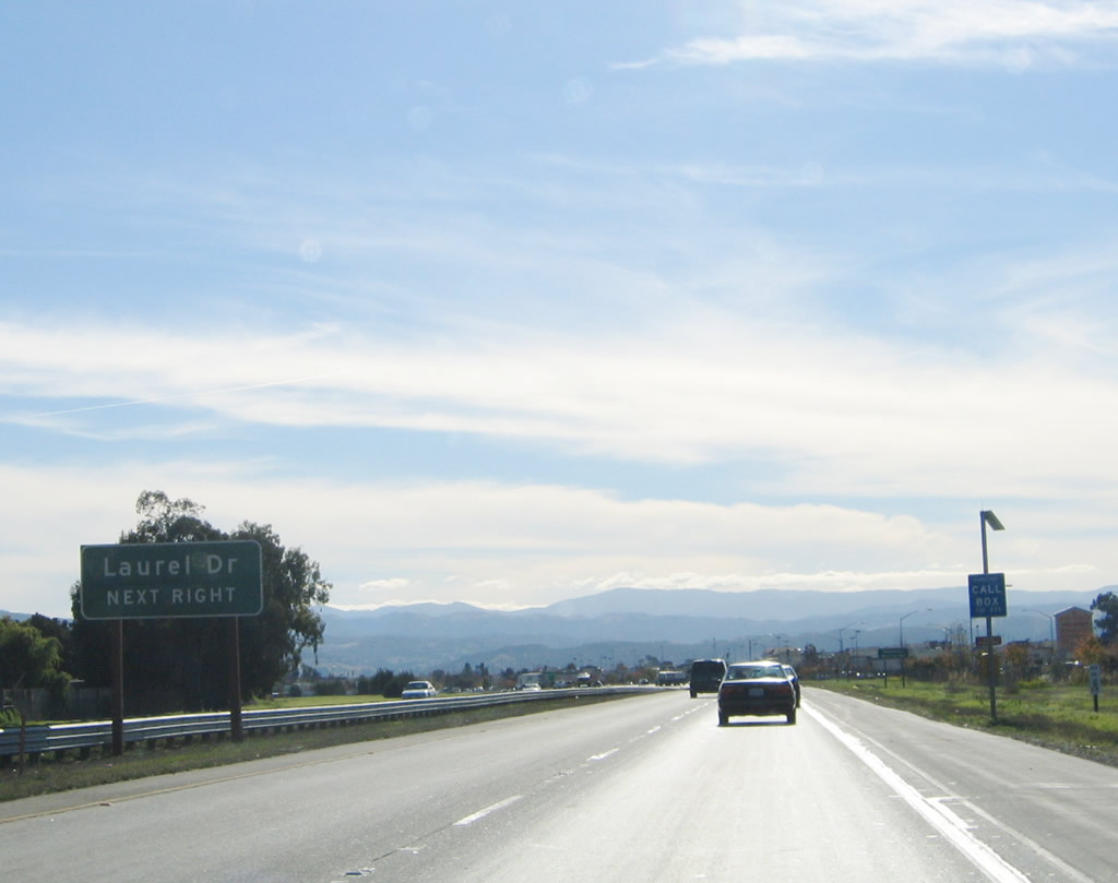 |
The next interchange along U.S. 101 south is Exit 330, Laurel Drive. Photo taken 11/29/04. |
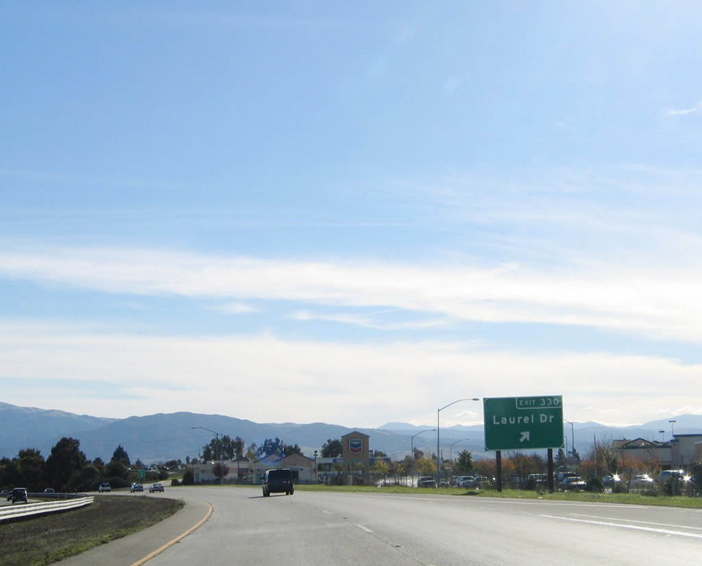 |
Southbound U.S. 101 reaches Exit 330, Laurel Drive. Photo taken 11/29/04. |
 |
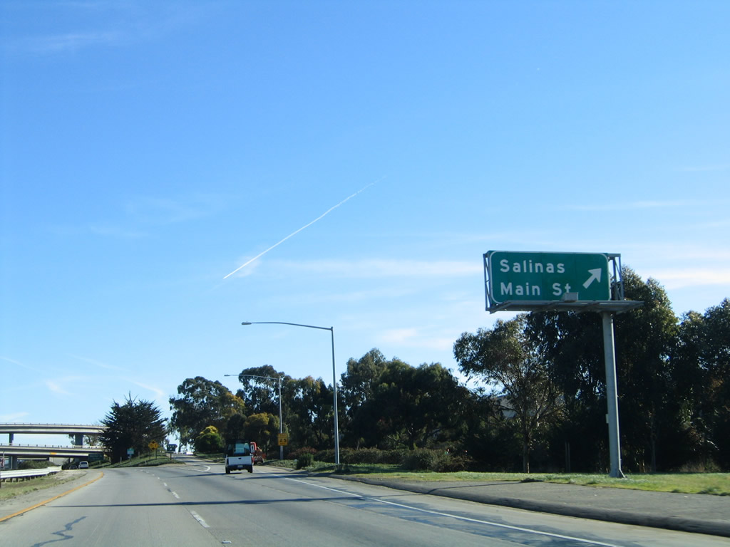
U.S. 101 Business (Main Street) intersects U.S. 101 (El Camino Real) again at Exit 329, which is the next southbound interchange. This exit also connects to California 183 north to Castroville. Photo taken 11/29/04. |
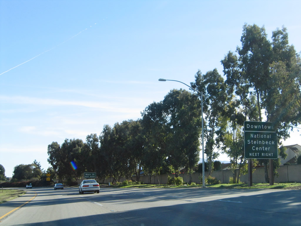 |
Use U.S. 101 Business (Main Street) south to downtown Salinas, which is the seat of Monterey County and home of famous author John Steinbeck. Incorporated in 1872, the city of Salinas is perhaps most famous as the home of author John Steinbeck, author of The Grapes of Wrath and many other novels and short stories. Salinas was named for a nearby salt marsh and has about 14.4 inches of precipitation per year. Agriculture reigns in this community, as farms are a key economic engine to this region. Home to 143,920 people per the 2000 Census, Salinas is expected to continue to grow dramatically in the coming years. Photo taken 11/29/04. |
 |
California 183 north is only signed by this single trailblazer on southbound U.S. 101, since the exit to California 183 north to Castroville is illogical. Photo taken 11/29/04. |
 |
Southbound U.S. 101 (El Camino Real) reaches Exit 329, U.S. 101 Business (Main Street) and California 183 north to Castroville. Photo taken 11/29/04. |
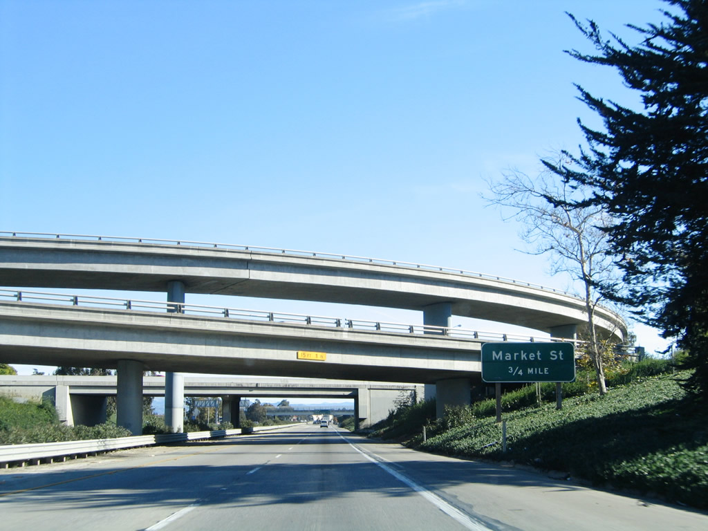 |
The next exit along U.S. 101 (El Camino Real) south is Exit 328, Market Street. The towering interchange complex between U.S. 101 and California 183 features some high flyover ramps. Photo taken 11/29/04. |
 |
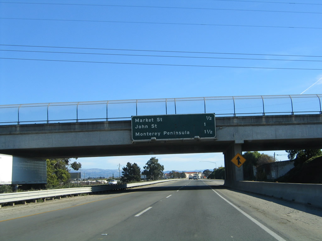 |
The next three exits along U.S. 101 (El Camino Real) south are Exit 328, Market Street; Exit 327, California 68 (John Street) west; and Exit 326B, Monterey Peninsula/Sanborn Road. Photo taken 07/05/06 and 11/29/04. |
 |
A Pacific Gas and Electric power line crosses over U.S. 101 prior to the Market Street interchange. Photo taken 11/29/04. |
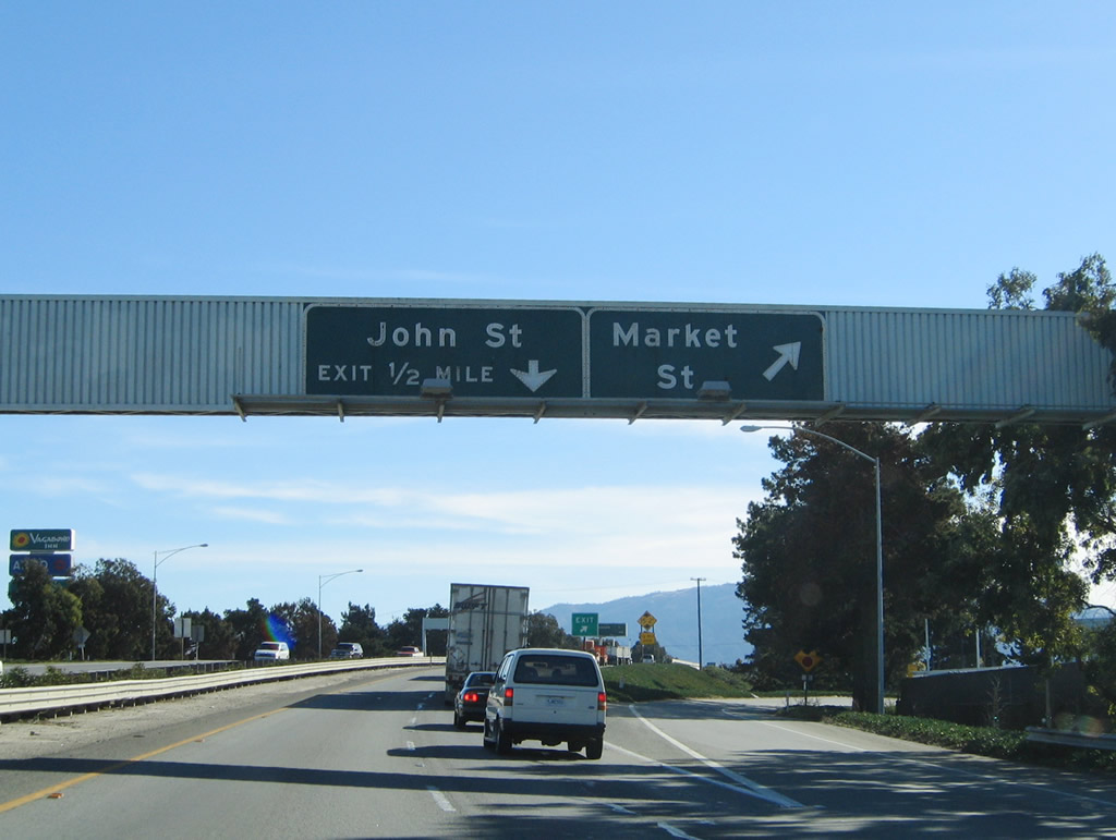 |
Southbound U.S. 101 (El Camino Real) reaches Exit 328, Market Street. The next interchange is Exit 327, California 68 (John Street) west. Photo taken 11/29/04. |
 |
The next three exits along U.S. 101 (El Camino Real) south are Exit 327, California 68 (John Street) west; Exit 326B, Monterey Peninsula/Sanborn Road; and Exit 326A, Airport Boulevard. Photo taken 11/29/04. |
 |
California 68 is not labeled on the main guide signs for Exit 327, John Street, perhaps because through traffic to Monterey are encouraged to use Exit 326B, Monterey Peninsula/Sanborn Road instead. Photo taken 11/29/04. |
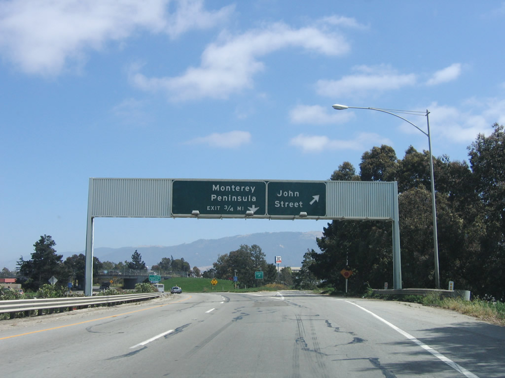 |
Southbound U.S. 101 (El Camino Real) reaches Exit 327, California 68 (John Street) west. The next interchange is Exit 326B, Monterey Peninsula/Sanborn Road. Photo taken 07/05/06. |
 |
This small diagrammatical sign for California 68 west is posted on the ramp from U.S. 101 south to California 68 west in Salinas. Photo taken 07/05/06. |
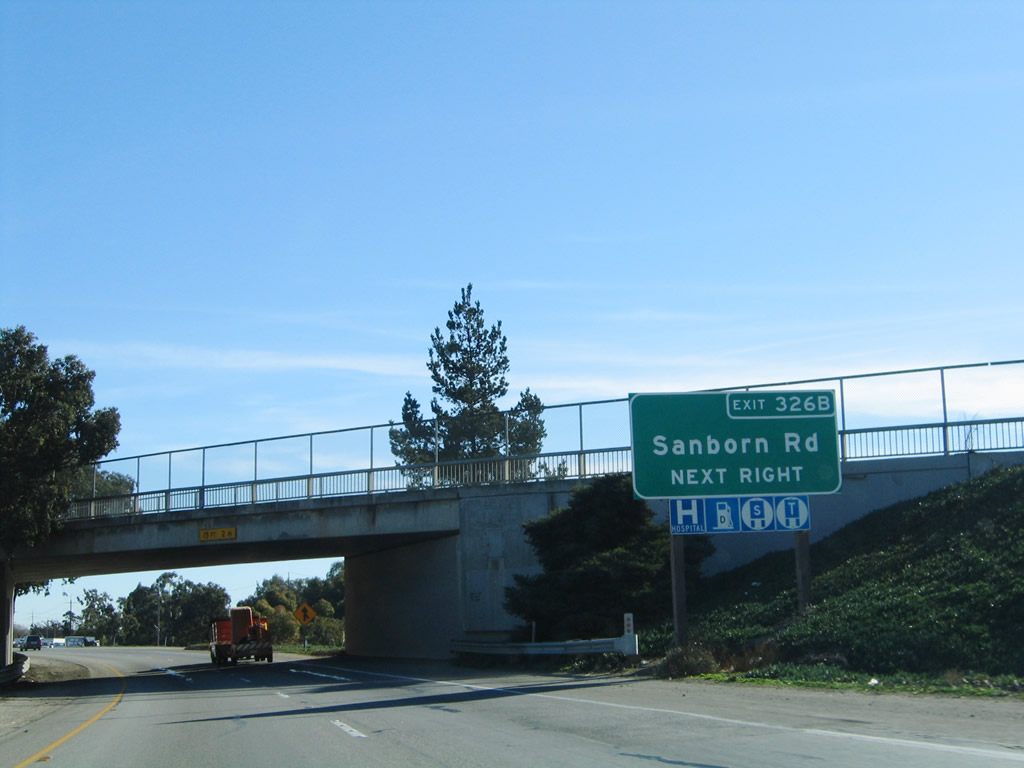 |
The next exit along U.S. 101 (El Camino Real) south is Exit 326B, Monterey Peninsula/Sanborn Road. Photo taken 11/29/04. |
 |
This U.S. 101 reassurance shield is posted after the California 68 (John Street) interchange. Photo taken 07/05/06. |
 |
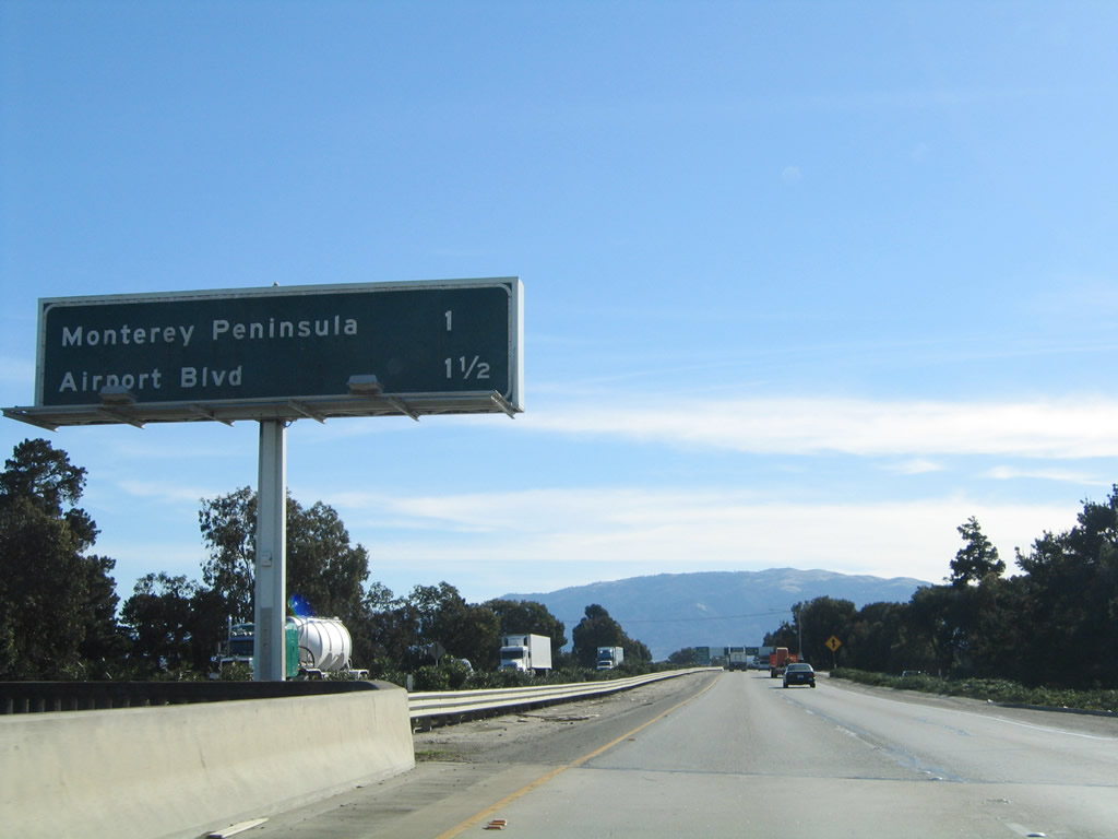
Southbound U.S. 101 reaches Exit 326B, Sanborn Road. Use Sanborn Road east to California 68 to the Monterey Peninsula. The next exit is Exit 326A, Airport Boulevard. Note the inclusion of San Luis Obispo as a destination city in addition to the control city of Los Angeles. Photo taken 07/05/06. |
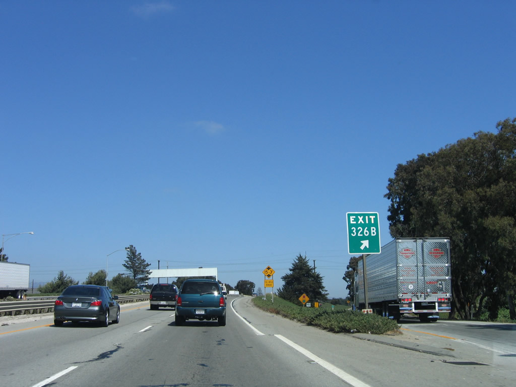 |
The gore point signage includes the exit number (326B) for the Sanborn Road interchange. Photo taken 07/05/06. |
 |
The next exit along U.S. 101 south is Exit 326A, Airport Boulevard to Spreckels. Photo taken 07/05/06. |
 |
Southbound U.S. 101 reaches Exit 326A, Airport Boulevard to Spreckels. Photo taken 07/05/06. |
 |
This mileage sign along U.S. 101 (El Camino Real) provides the distance to Chualar (nine miles), San Luis Obispo (124 miles), and Los Angeles (328 miles). Photo taken 07/05/06. |
 |
Leaving the Salinas metropolitan area, the freeway again ends, and another expressway section ensues. The next seven miles of U.S. 101 feature a variety of intersections, including the directional interchange with U.S. 101 Business (Abbott Street) north. Photo taken 07/05/06. |
 |
The first major intersection along this stretch of expressway is the junction with Gould Road. Photo taken 11/29/04. |
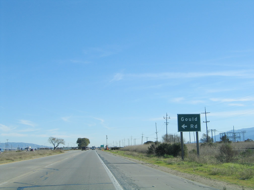 |
Turn left here for the connection from U.S. 101 south to Gould Road. Watch for slowing traffic. Photo taken 11/29/04. |
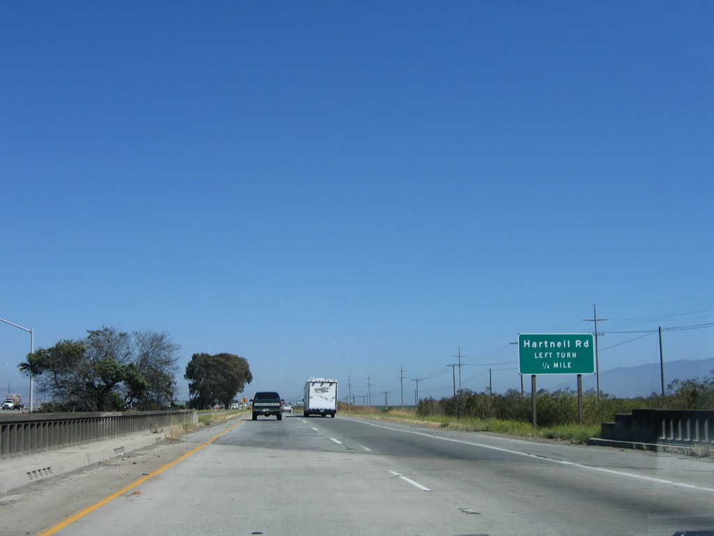 |
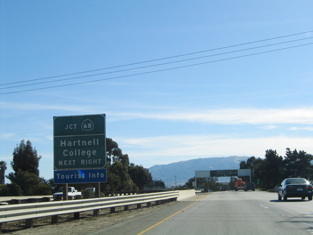
Southbound U.S. 101 crosses over U.S. 101 Business (Abbott Street) north on this old bridge. The next intersection on U.S. 101 south is a left turn to Hartnell Road. Photo taken 07/05/06. |
 |
Traffic from the business route (Abbott Street) merges onto southbound U.S. 101 from the left. Photo taken 07/05/06. |
 |
Southbound U.S. 101 meets Hartnell Road at this intersection. Photo taken 07/05/06. |
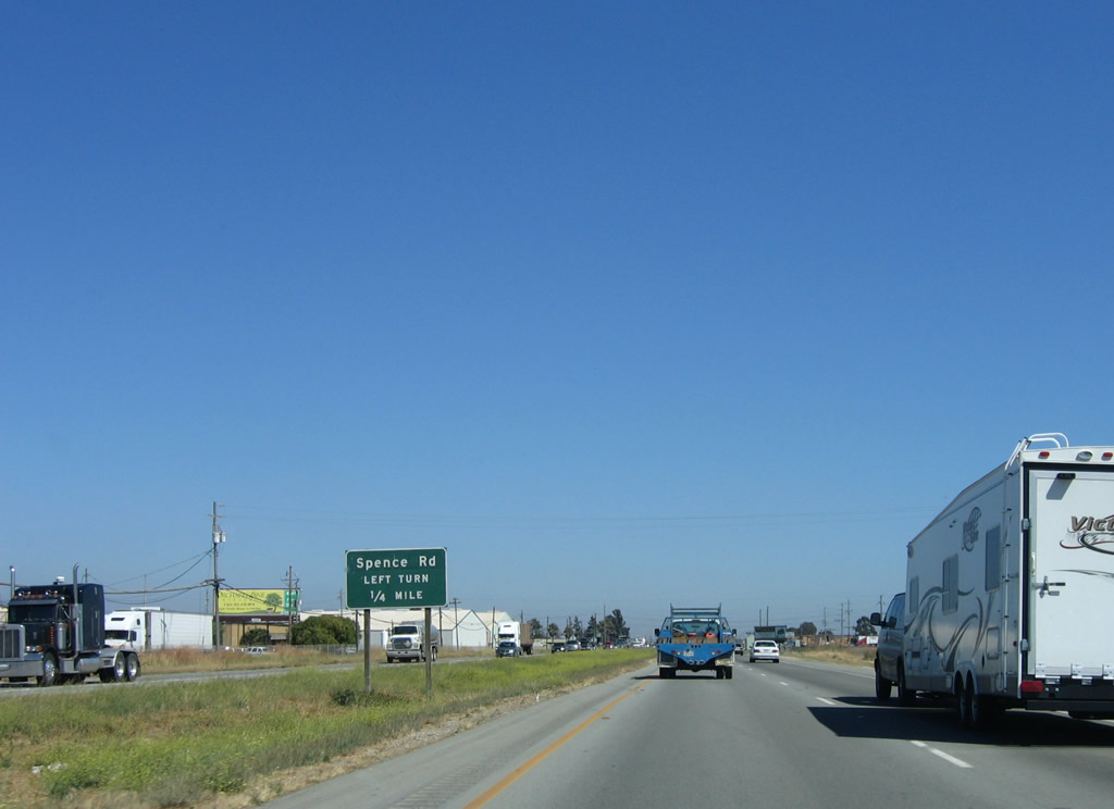 |
The next intersection along southbound U.S. 101 is Spence Road. Photo taken 07/05/06. |
 |
Southbound U.S. 101 meets Spence Road at this intersection. Photo taken 07/05/06. |
 |
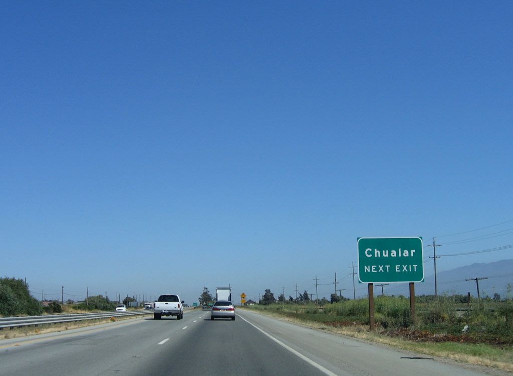
Trucks forced onto southbound U.S. 101 because they can't legally turn north onto U.S. 101 north must follow U.S. 101 south to Exit 317, Chualar. Photo taken 07/05/06. |
 |
The next intersection along southbound U.S. 101 is Potter Road. Photo taken 07/05/06. |
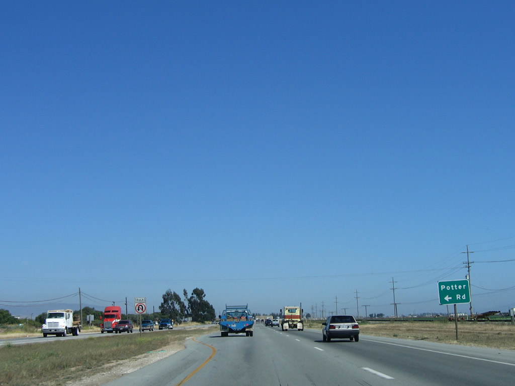 |
Southbound U.S. 101 meets Potter Road at this intersection. No truck U-turns are permitted at this intersection. Photo taken 07/05/06. |
 |
The next intersection along southbound U.S. 101 is Somavia Road. Photo taken 07/05/06. |
 |
Southbound U.S. 101 meets Somavia Road at this intersection. Most of these intersections provide local farm to market access. Photo taken 07/05/06. |
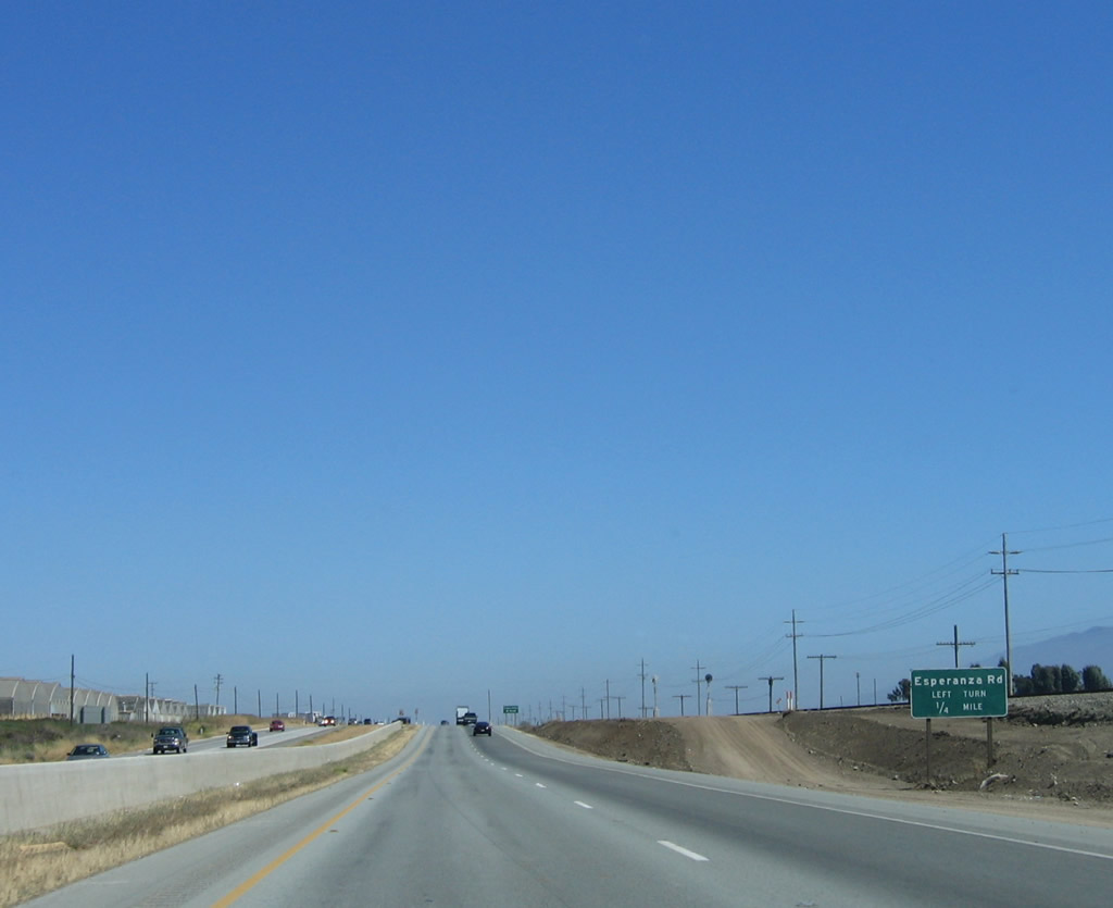 |
The next intersection along southbound U.S. 101 is Esperanza Road. Photo taken 07/05/06. |
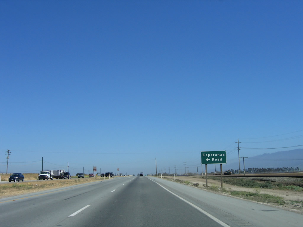 |
Southbound U.S. 101 meets Esperanza Road at this intersection. Again, no truck U-turns are permitted here. Photo taken 07/05/06. |
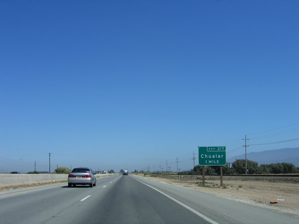 |
After that series of intersections, southbound U.S. 101 again becomes a freeway. The next exit is Exit 317, Main Street to Chualar. Photo taken 07/05/06. |
 |
A begin freeway sign is posted prior to the Chualar interchange. Photo taken 07/05/06. |
 |
Exit 317 serves the community of Chualar. Photo taken 07/05/06. |
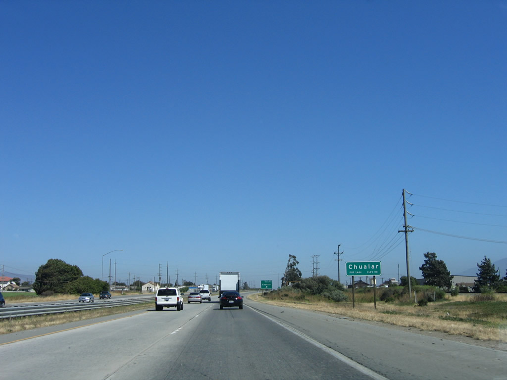 |
Chualar is an unincorporated community in Monterey County. The primary economic force is farming and agriculture. Photo taken 07/05/06. |
 |
Southbound U.S. 101 (El Camino Real) reaches Exit 317, Main Street to Chualar. Photo taken 07/05/06. |
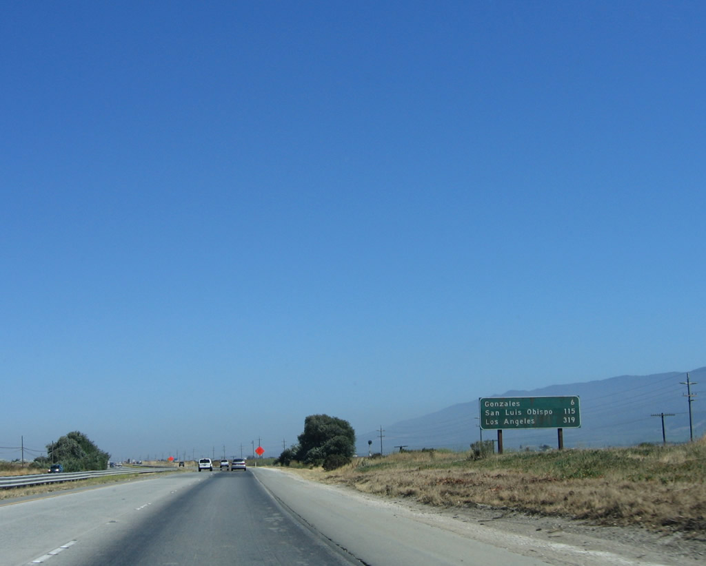 |
This mileage sign along U.S. 101 (El Camino Real) provides the distance to Gonzales (six miles), San Luis Obispo (115 miles), and Los Angeles (319 miles). Photo taken 07/05/06. |
 |
For the next several miles, U.S. 101 (El Camino Real) reverts to an expressway alignment with at-grade intersections. A left turn ahead leads into a ranch. Photo taken 07/05/06. |
 |
An end freeway sign is posted shortly thereafter. Photo taken 07/05/06. |
 |
A new median concrete barrier was being placed along this stretch of highway at the time this photo was taken. Photo taken 07/05/06. |
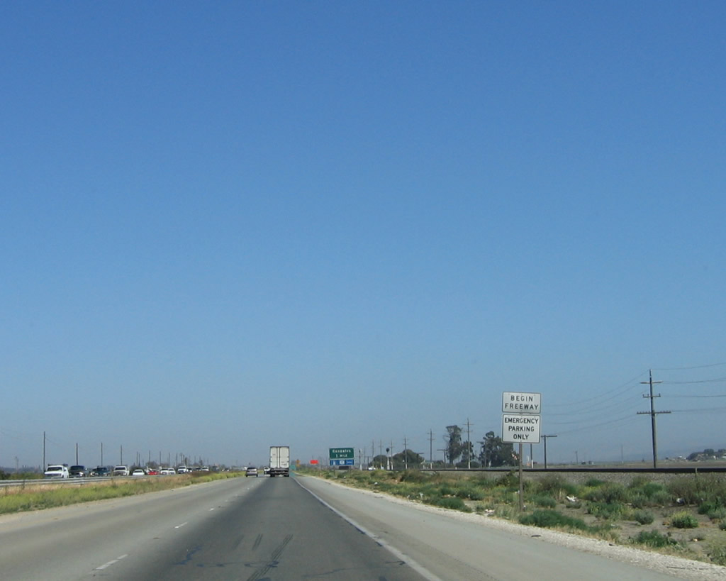 |
The freeway resumes at this begin freeway sign, prior to Gonzales. Photo taken 07/05/06. |
 |
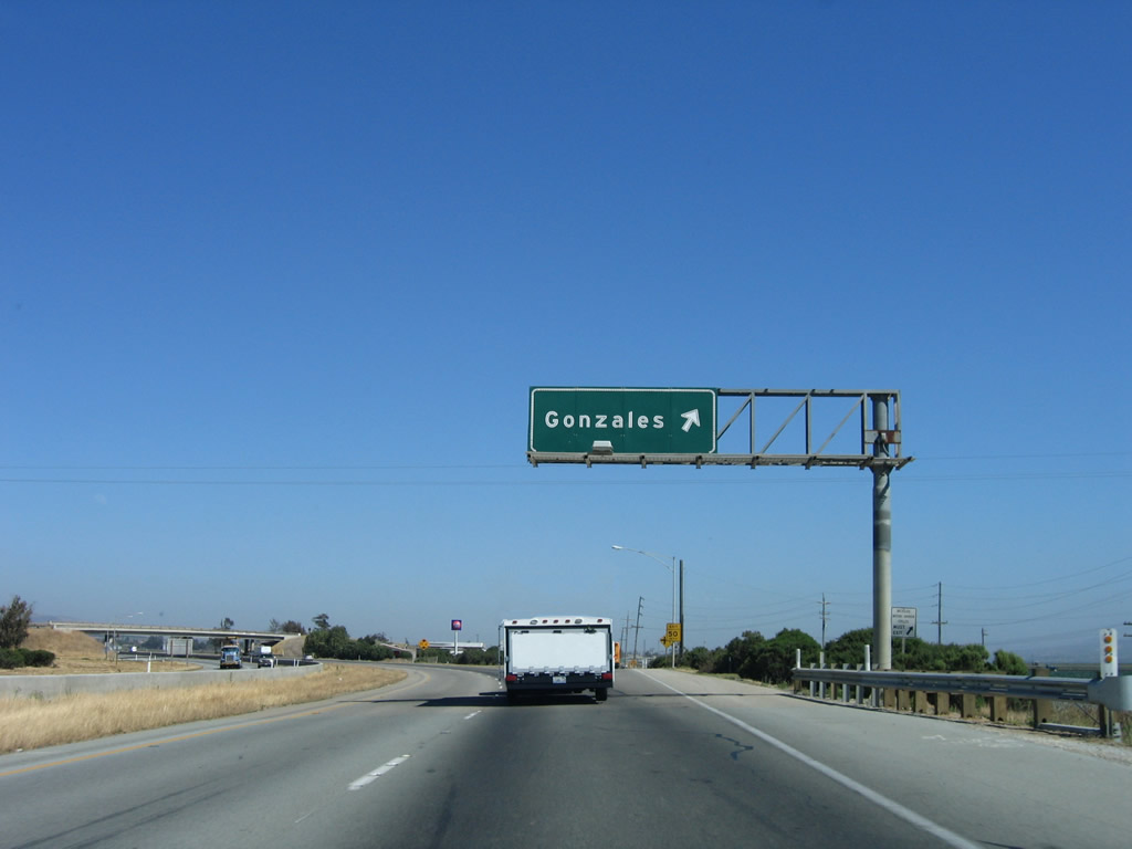
The next exit along U.S. 101 (El Camino Real) south is Exit 313, U.S. 101 Business/Alta Street south to Gonzales. Photo taken 07/05/06. |
 |
U.S. 101 Business follows Alta Street into the city of Gonzales, known as the "Wine Capital of California." Home to 7,525 people as of the 2000 Census, Gonzales sits at an elevation of 135 feet and consists of 1.4 square miles. The business route follows Old U.S. 101 through town, while the bypass route takes a freeway alignment to the east of downtown. The business route rejoins U.S. 101 at Exit 310. Photo taken 07/05/06. |
 |
Southbound U.S. 101 (El Camino Real) reaches Exit 313, U.S. 101 Business/Alta Street south into Gonzales. Photo taken 07/05/06. |
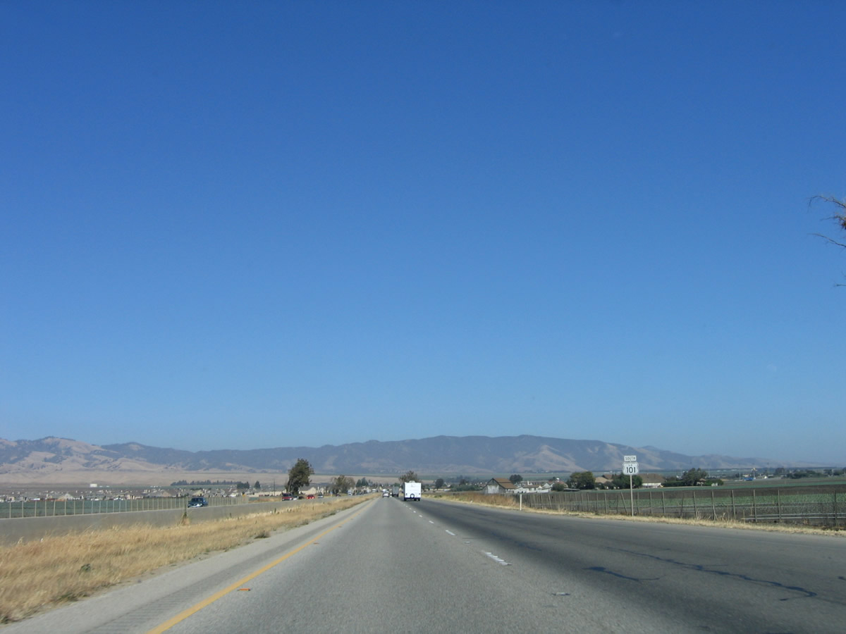 |
After the Alta Street interchange, U.S. 101 turns southeast. The Gabilan Range comes into view as the freeway passes through agricultural fields and vineyards. Photo taken 07/05/06. |
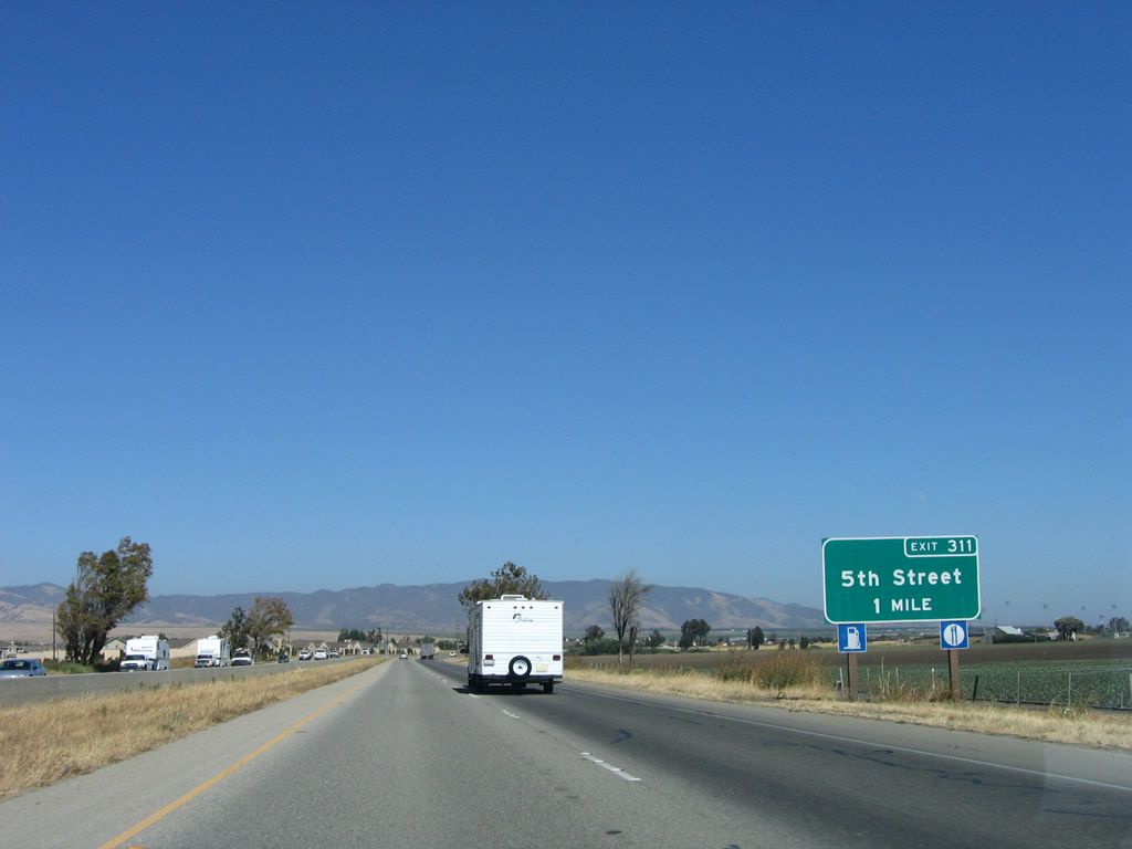 |
The next exit along U.S. 101 south is Exit 311, Fifth Street. Photo taken 07/05/06. |
 |
U.S. 101 (El Camino Real) south enters the city of Gonzales prior to the Fifth Street interchange. Photo taken 07/05/06. |
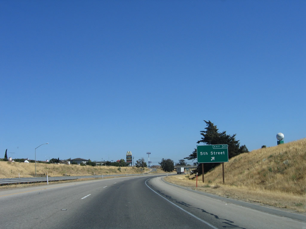 |
Southbound U.S. 101 reaches Exit 311, Fifth Street in Gonzales. Food, gas, and other motorist services are available at this interchange. Photo taken 07/05/06. |
 |
A U.S. 101 south reassurance shield assembly is posted after the on-ramp from Fifth Street. Photo taken 07/05/06. |
 |
The next exit along U.S. 101 south is Exit 310, Gloria Road east and U.S. 101 Business/Alta Street north to downtown Gonzales. Photo taken 07/05/06. |
 |
Southbound U.S. 101 reaches Exit 310, Gloria Road east and U.S. 101 Business/Alta Street north to downtown Gonzales. Photo taken 07/05/06. |


Page Updated March 6, 2008.
|
About Contact Glossary |
In The News Testimonials Interstate Guide |
Social Media:
 |
|
© 2000-23 AARoads.com | All Rights Reserved | Privacy Policy / Terms of Use
|
||