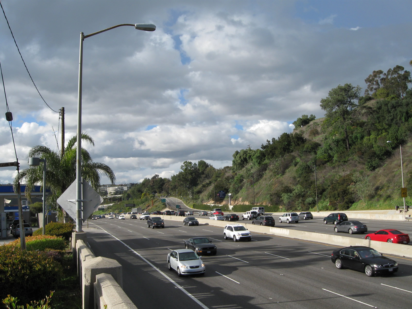
This view of U.S. 101 is from the west side of the freeway near Barham Boulevard looking northeast toward the exit to Universal Center Boulevard. 02/26/11
U.S. 101 has many facets along its route throughout Golden State. Within Southern California, U.S. 101 is one of many routes that follow heavily traveled freeway corridors, including portions of the Santa Ana, Hollywood and Ventura Freeways. Colloquially known as "the 101" in the Southland, it is a very busy commuter route, including this stretch of the Hollywood Freeway where it Cahuenga Pass near Hollywood and Universal City in the city of Los Angeles. Other sections of U.S. 101 carry varying amounts of traffic, but it is always a primary route through any city it serves.
Alcatraz Island from the Alcatraz Ferry looking north. Alcatraz Island sits in San Francisco Bay just east of the Golden Gate. Beyond Alcatraz Island is the north anchorage of the Golden Gate Bridge near Sausalito in Marin County. 07/15/09
|
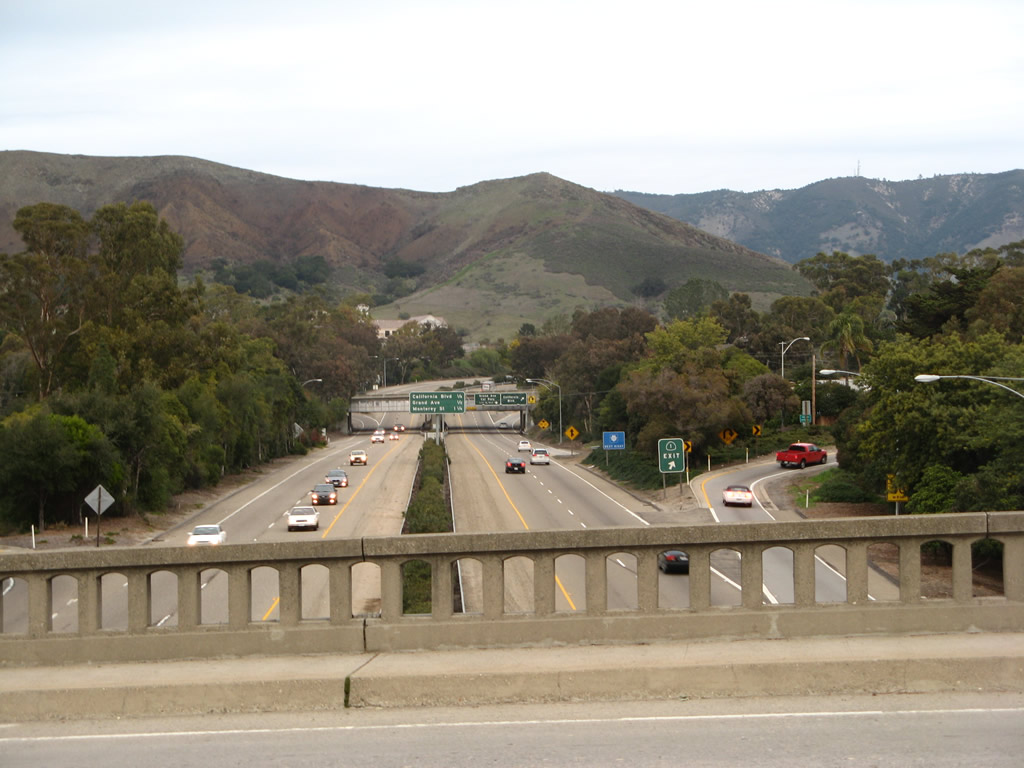
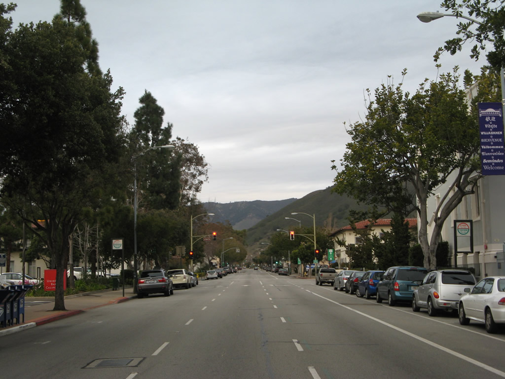
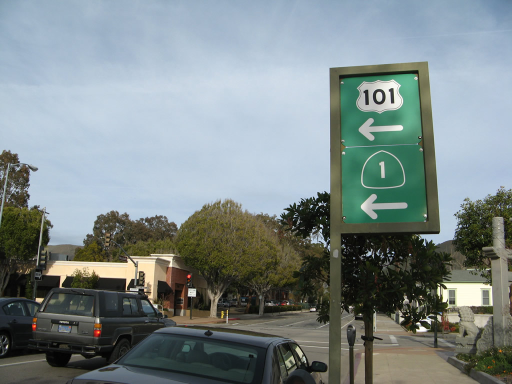
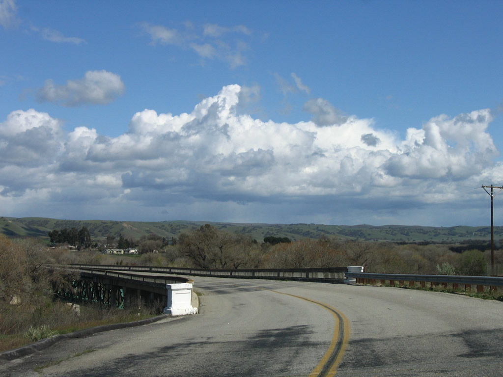
| Looking north at U.S. 101 in San Luis Obispo from the Santa Rosa Street (SR 1) overpass. 02/02/08 |
|
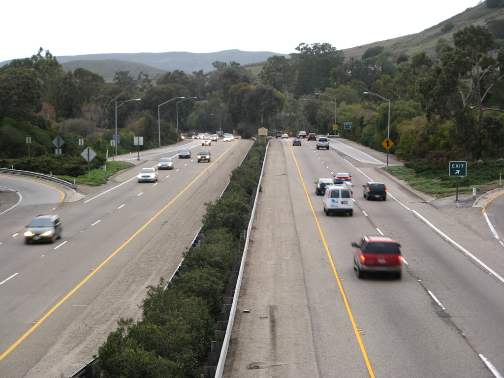
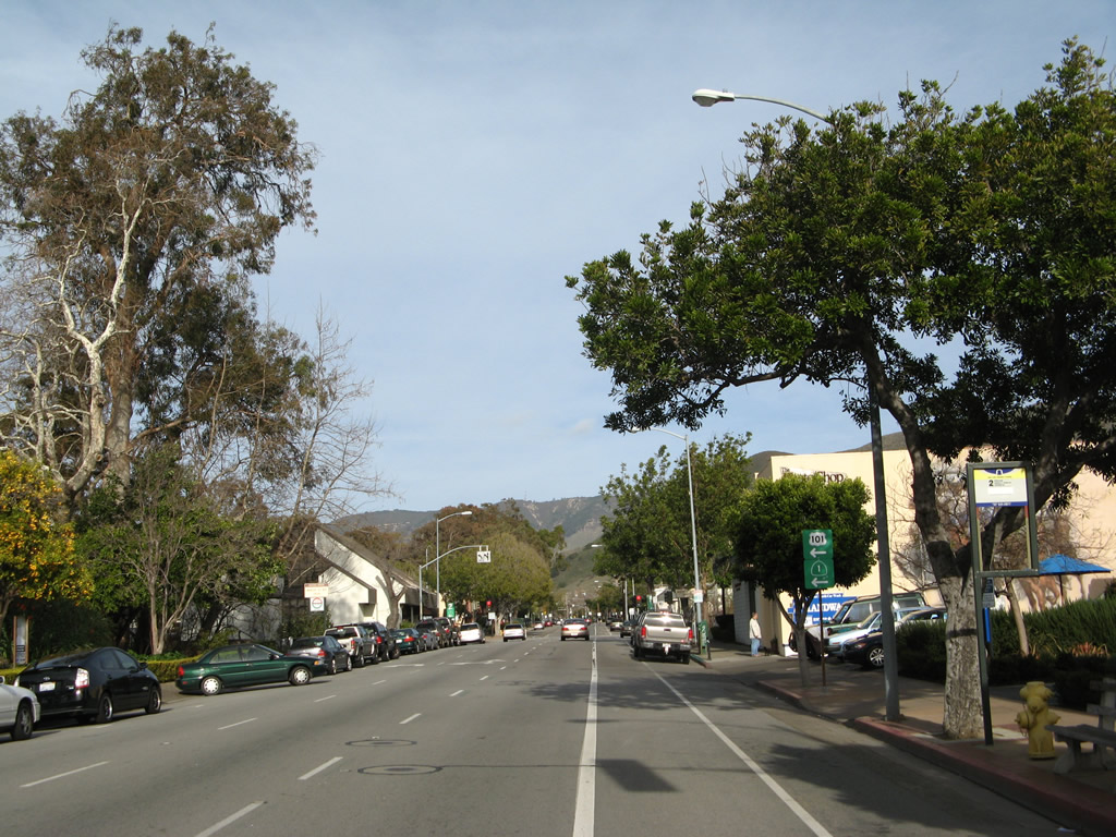
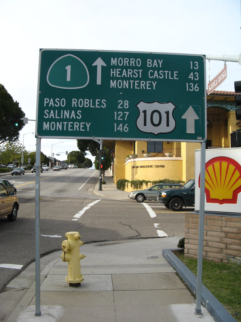
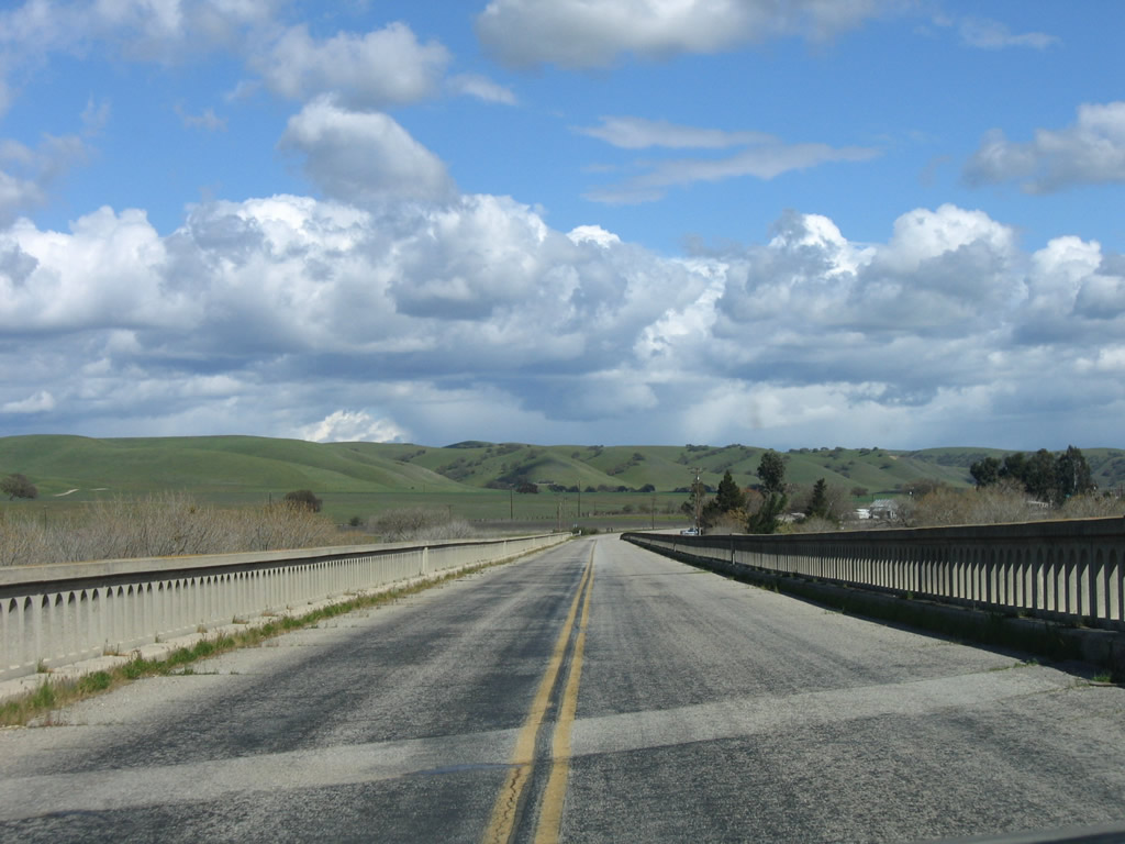
| U.S. 101 southwest from the Santa Rosa Street (SR 1) over crossing in San Luis Obispo. 02/02/08 |
|
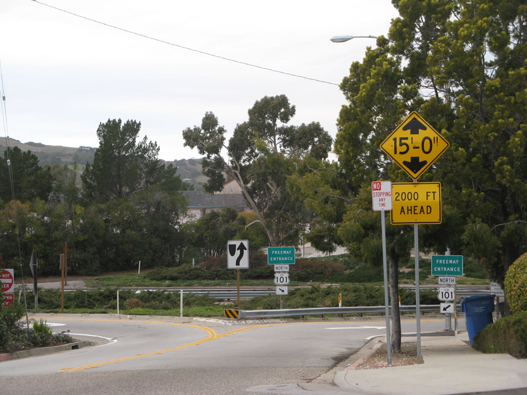
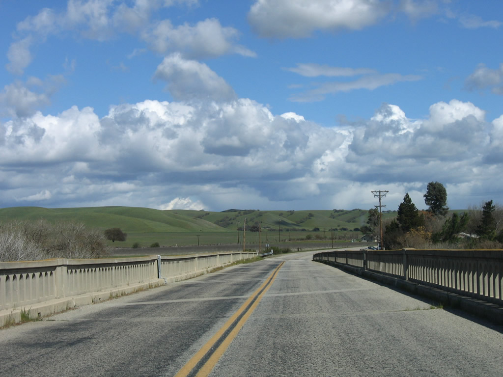
| When the freeway along U.S. 101 was constructed through San Luis Obispo, several streets were disconnected, including Osos Street at Exit 203 A. 02/02/08 |
|
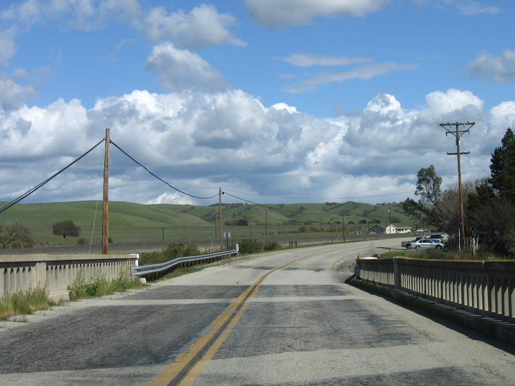
| RIRO ramps at Exit 203 A connect northbound U.S. 101 north with Osos Street adjacent to Walnut Street. 02/02/08 |
|
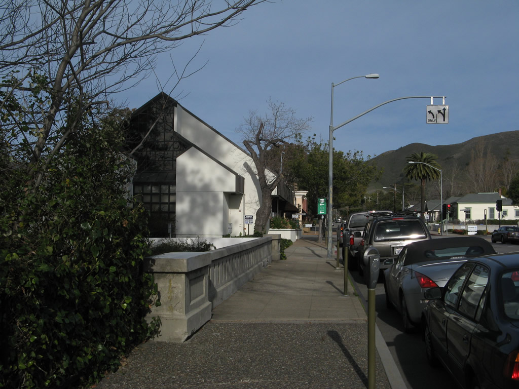
| Marsh Street (Old U.S. 101) north at Broad Street (former SR 277) in Downtown San Luis Obispo. 02/02/08 |
|
| This view looks north on Marsh Street after Morro Street. 02/02/08 |
|
| Marsh Street (Old U.S. 101) north at Osos Street in Downtown San Luis Obispo, one block from Santa Rosa Street north to U.S. 101/SR 1. 02/02/08 |
|
| Santa Rosa Street (old SR 1) leads six blocks northwest from Marsh Street to the exchange with U.S. 101/SR 1. 02/02/08 |
|
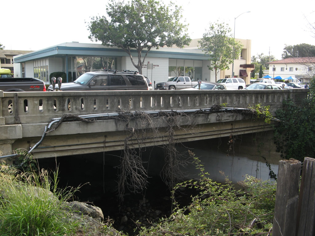
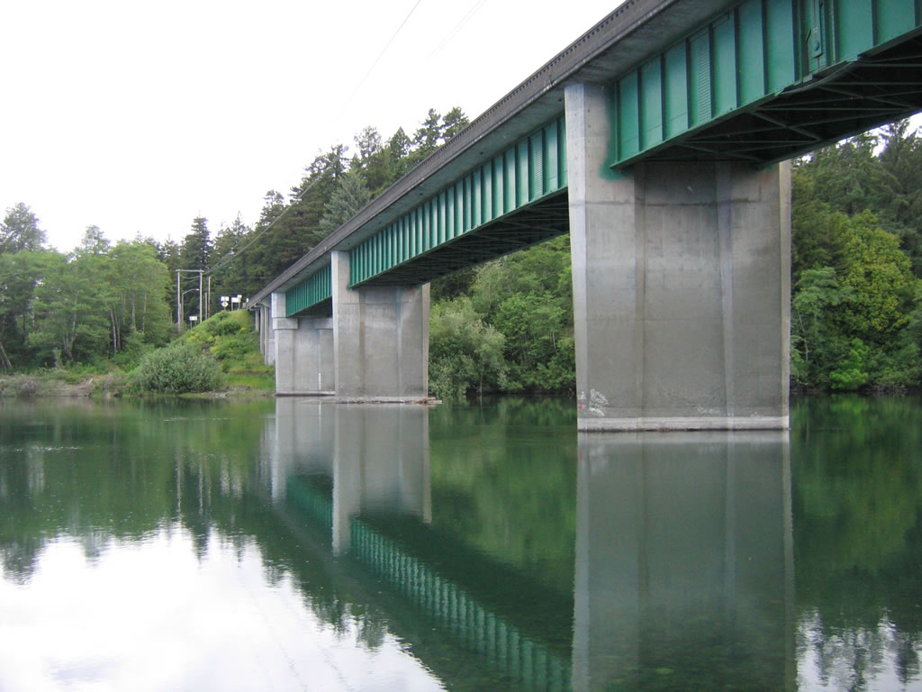
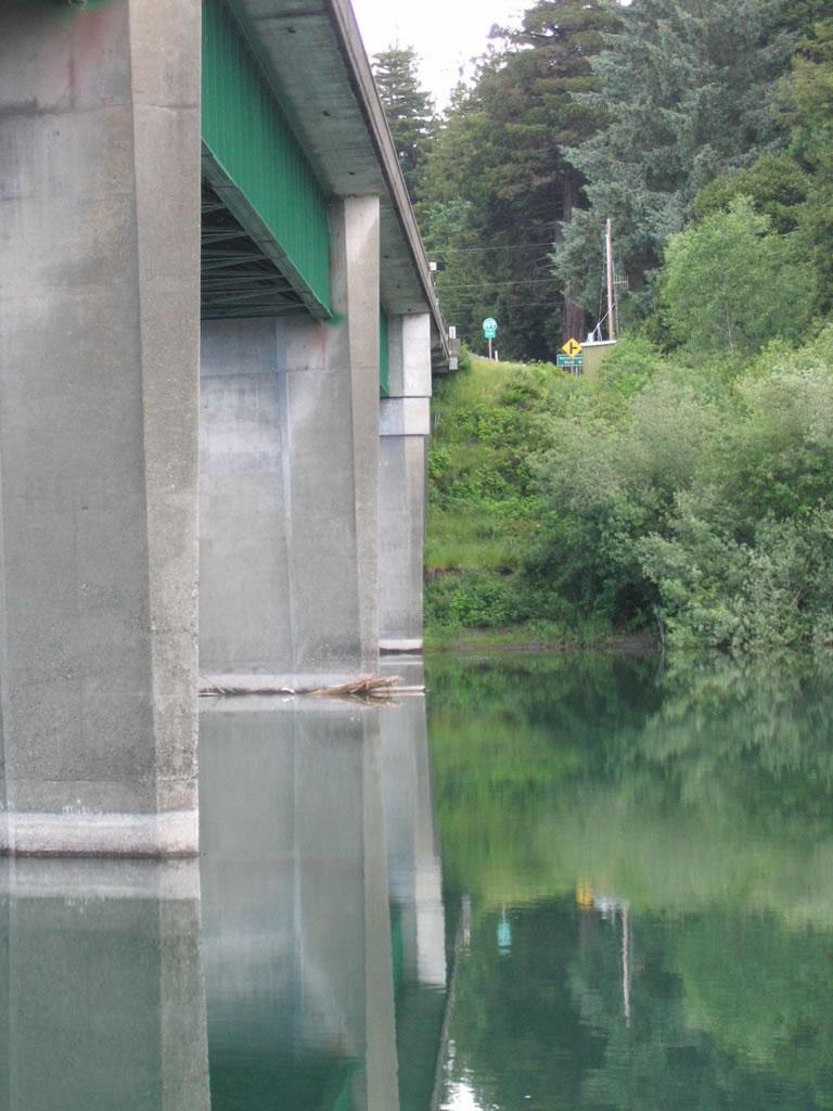
| The original Marsh Street Bridge spanning San Luis Obispo Creek by Downtown San Luis Obispo Creek dated back in 1909. 02/02/08 |
|
| Construction completed in January 2021 rebuilt the Marsh Street Bridge in San Luis Obispo. 02/02/08 |
|
| The design of the original bridge railing across San Luis Obispo Creek was retained on the replacement span. 02/02/08 |
|
| SR 1 overtakes Santa Rosa Street northwest from U.S. 101 at Exit 203 en route to Morro Bay. 02/02/08 |
|
| Removed by 2021, this distance sign stood at the intersection of Santa Rosa Street (old SR 1) north at Monterey Street in Downtown San Luis Obispo. 02/02/08 |
|
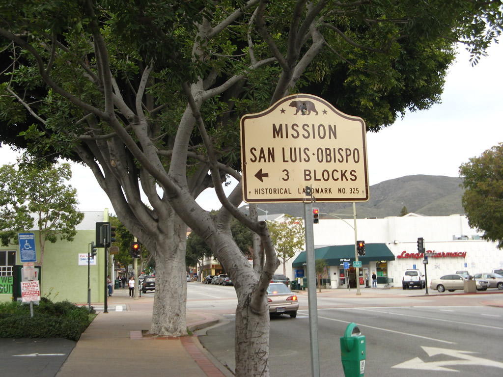
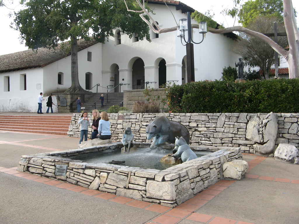
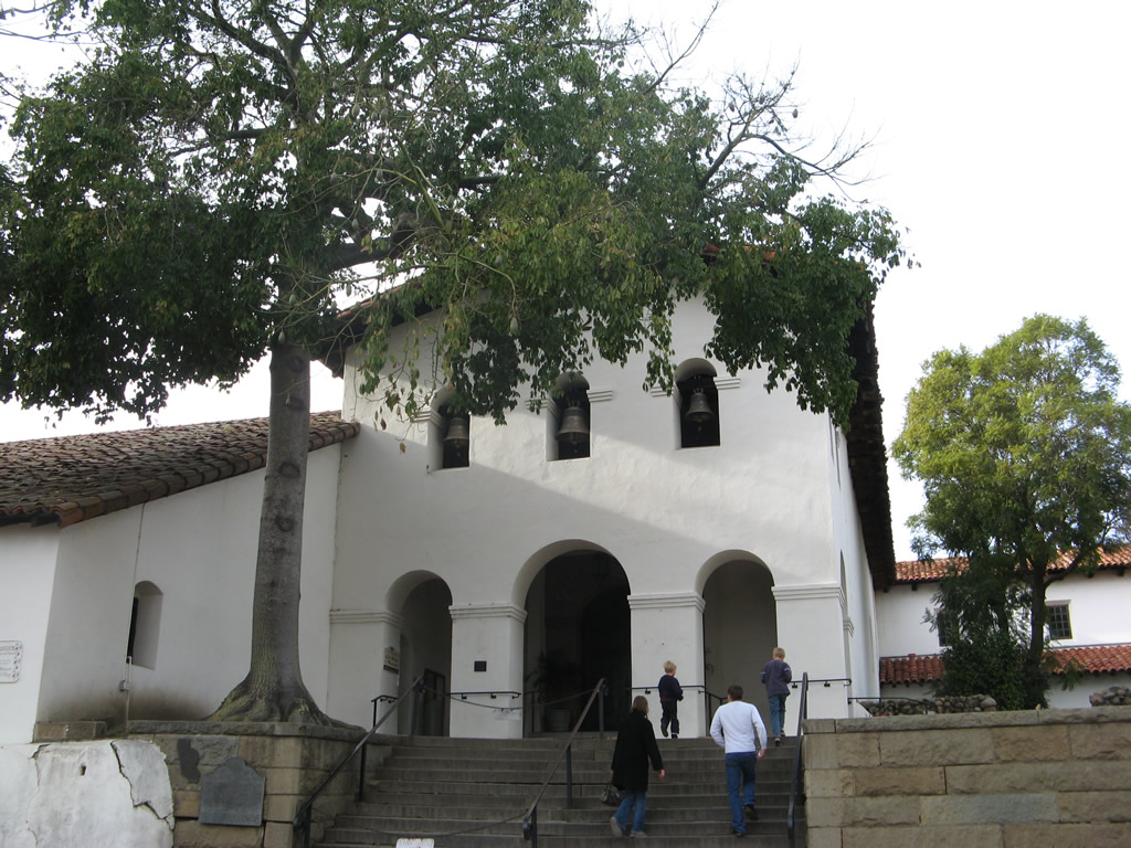
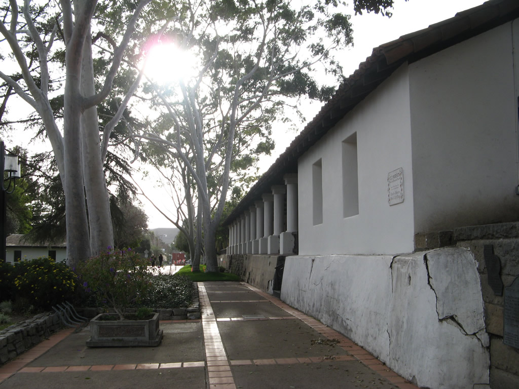
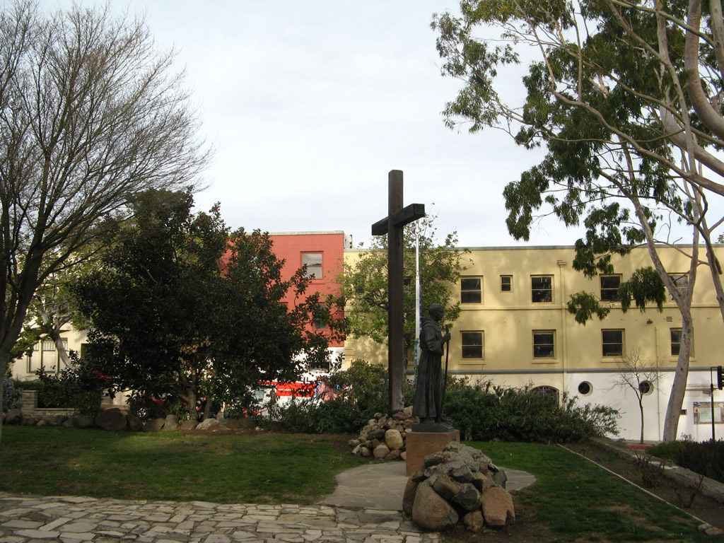
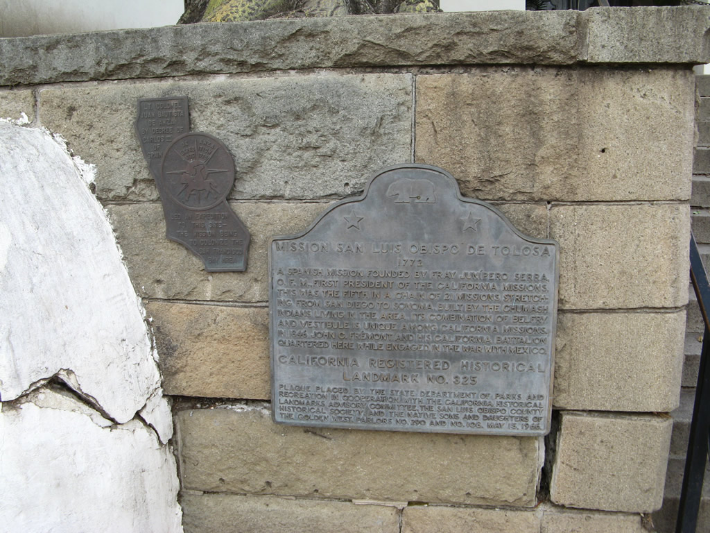
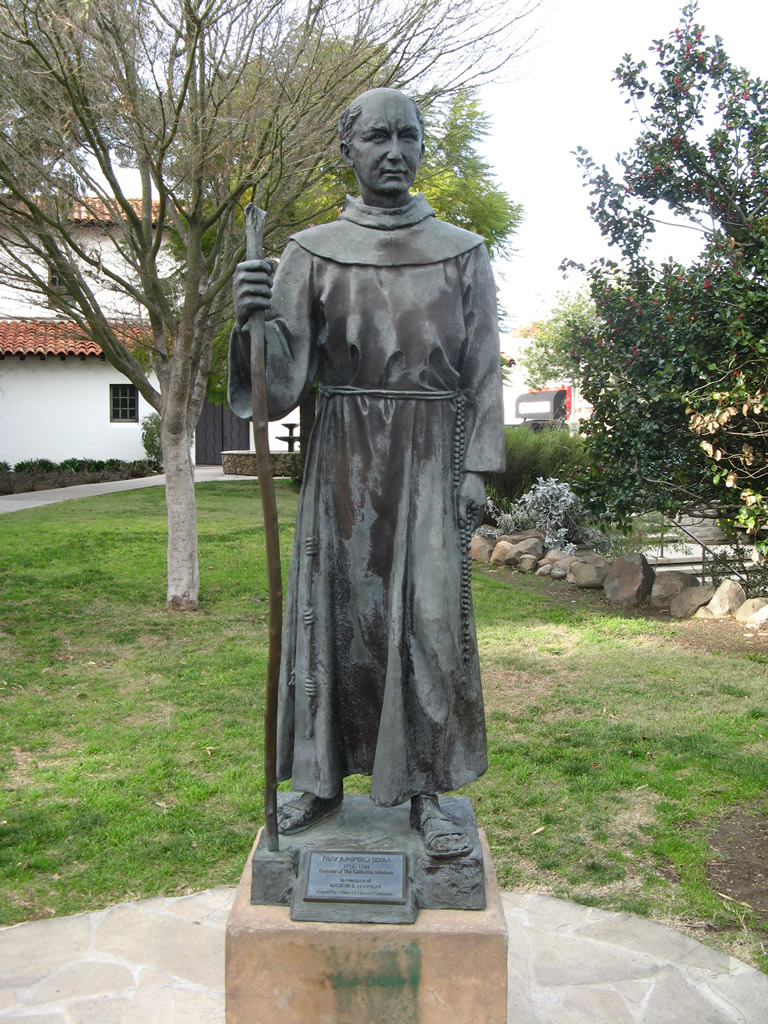
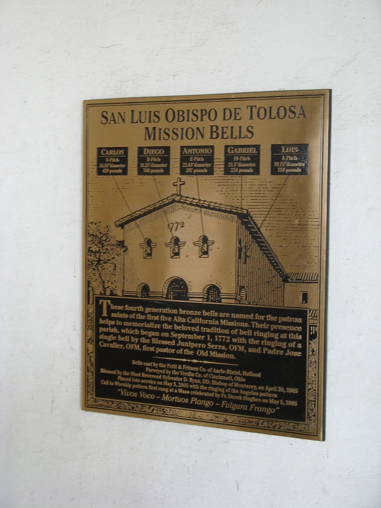
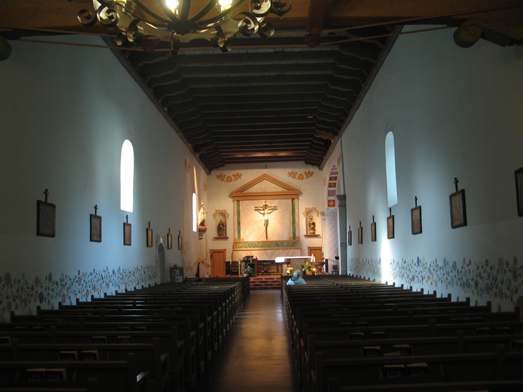
| Founded in 1772, Mission San Luis Obispo de Tolosa is located at the intersection of Monterey Street and Chorro Street in Downtown San Luis Obispo. 02/02/08 |
|
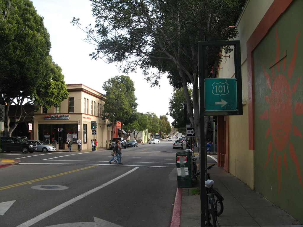
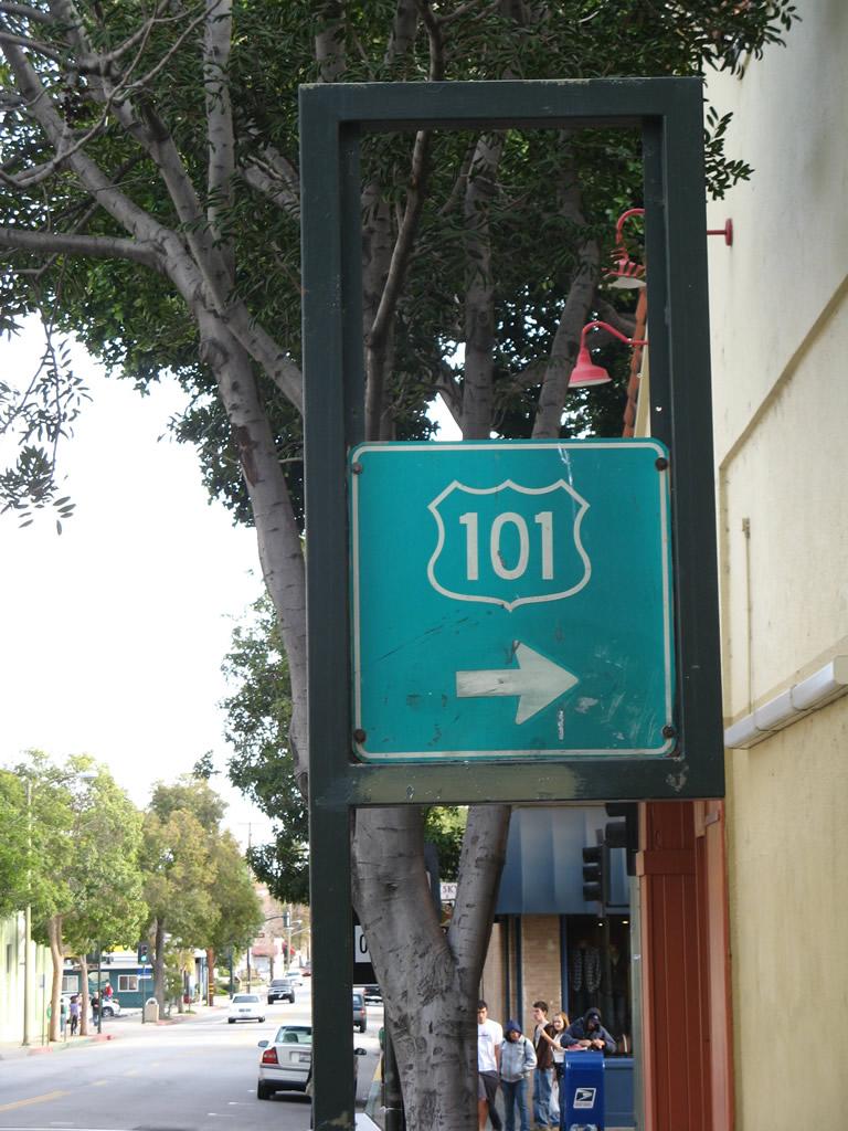
| Broad Street south at Higuera Street in San Luis Obispo. This vintage trailblazer sign for U.S. 101 was replaced in 2018. 02/02/08 |
|
| Historically Higuera Street was part of southbound SR 227 before the route was realigned to the Madonna Road interchange along U.S. 101 to the southwest. 02/02/08 |
|
| Bradley Road (Old U.S. 101) branches east from U.S. 101 at Exit 251 across the Salinas River to the unincorporated community of Bradley. 03/18/06 |
|
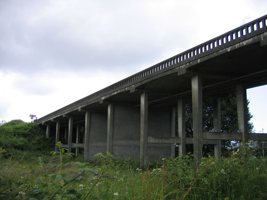
| Two narrow lanes carry Bradley Road across the Salinas River on this deck truss bridge that was built in 1930. 03/18/06 |
|
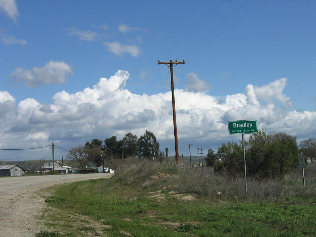
| Historic U.S. 101/Bradley Road south at unincorporated Bradley. This small community is located in the far southern reaches of Monterey County in the rural Salinas River Valley. 03/18/06 |
|
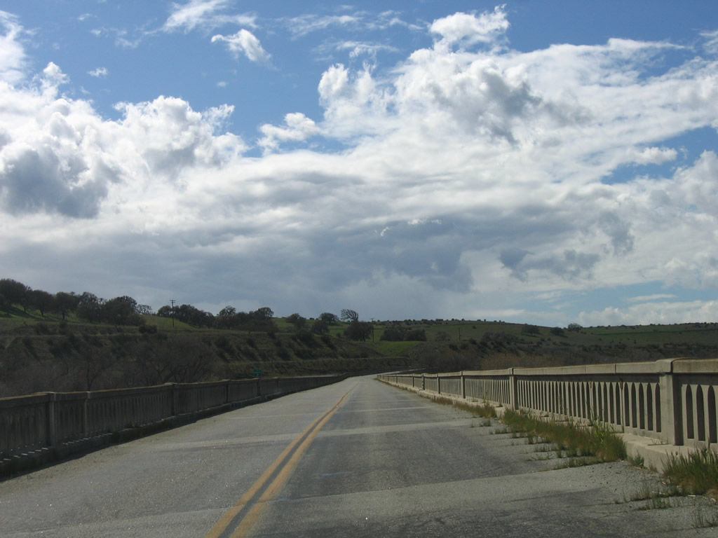
| Bradley Road (Old U.S. 101) spans the Salinas River west between unincorporated Bradley and U.S. 101. 03/18/06 |
|
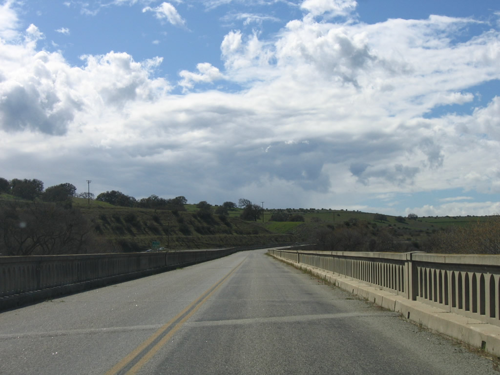
| The deck truss bridge taking Bradley Road over the Salinas River curves northward alongside U.S. 101. 03/18/06 |
|
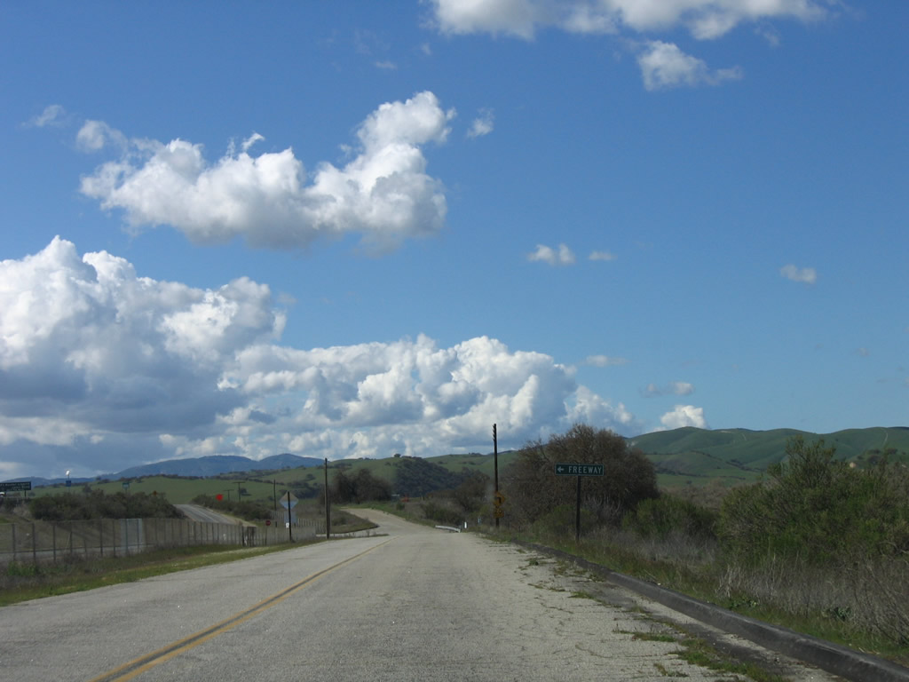
| Bradley Road ties into the freeway along U.S. 101 at a diamond interchange (Exit 251). 03/18/06 |
|
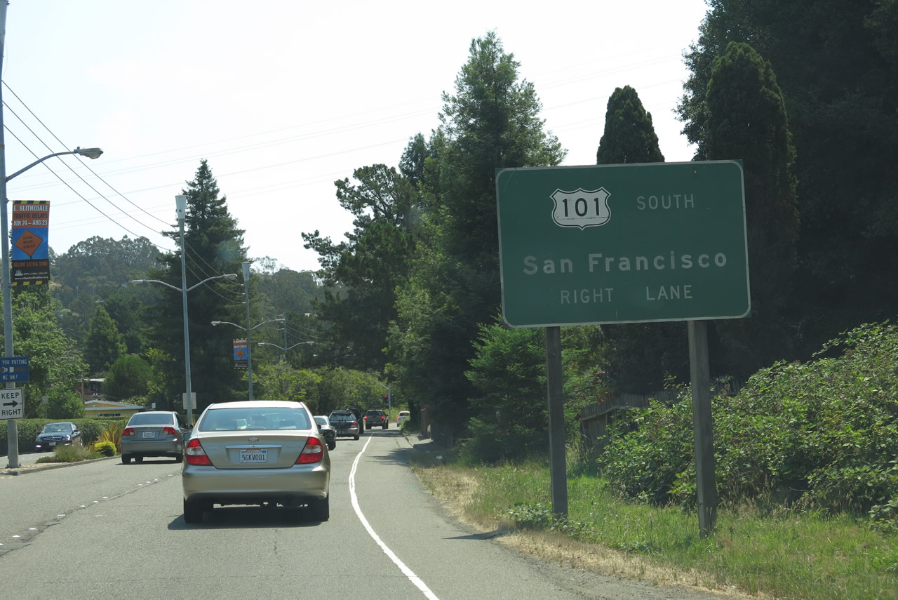
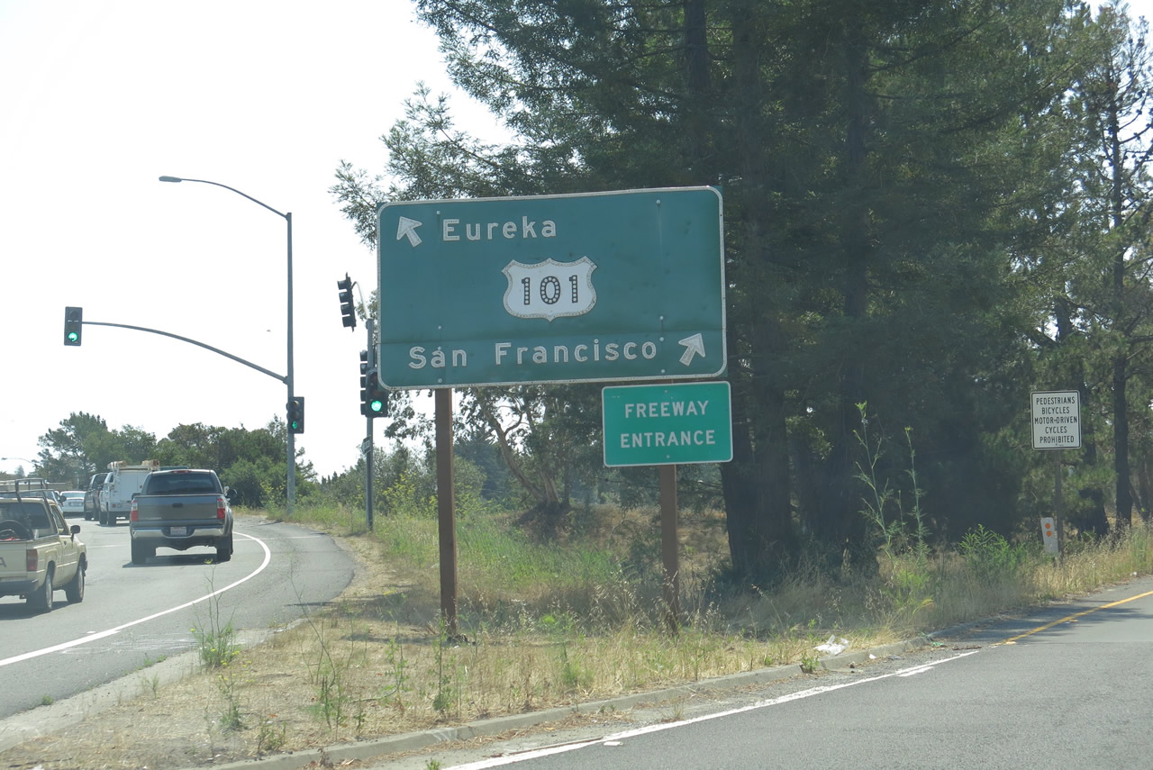
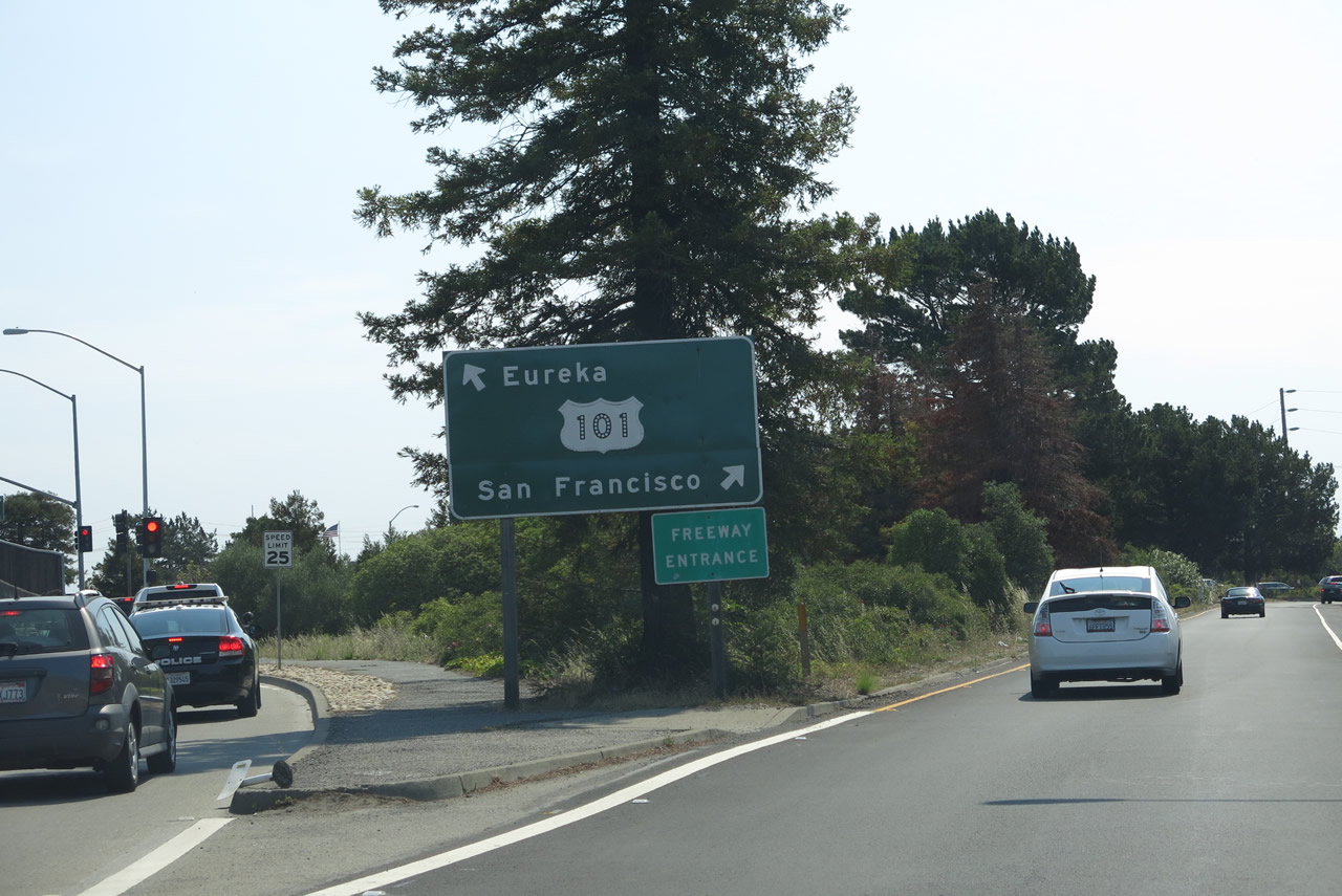
| E Blithedale Avenue expands to a four lane arterial east from Ashford Avenue to the six-ramp parclo interchange (Exit 447) with U.S. 101 (Redwood Highway). 07/02/13 |
|
| U.S. 101 (Redwood Highway) leads south from Bluthedale Avenue and the city of Mill Valley to San Francisco and north to Eureka. SR 131 commences east from this exchange along Tiburon Boulevard. 07/02/13 |
|
| Tamalpais Drive east at the six-ramp parclo interchange (Exit 449) with U.S. 101 (Redwood Highway) in the town of Corte Madera. 07/02/13 |
|
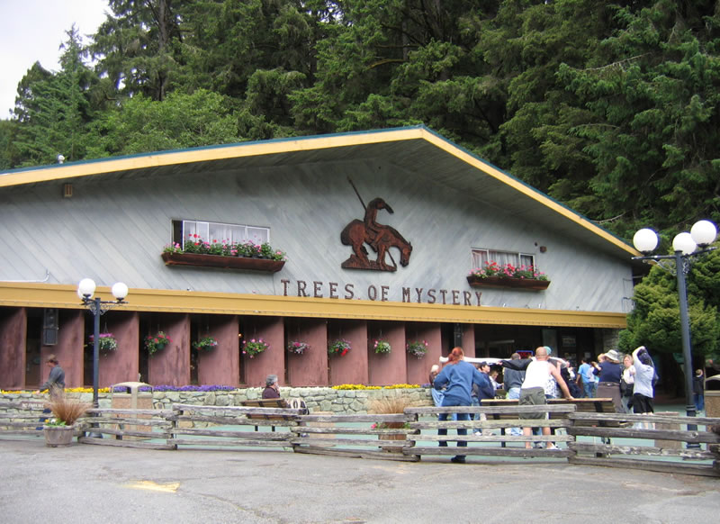
| The Trees of Mystery attraction is located on the east side of U.S. 101 (Redwood Highway) north of unincorporated Klamath. 05/28/06 |
|
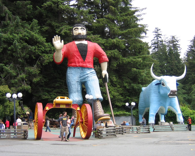
| Paul Bunyan, Babe the Blue Ox and redwood trees at the Trees of Mystery attraction along U.S. 101. 05/28/06 |
|
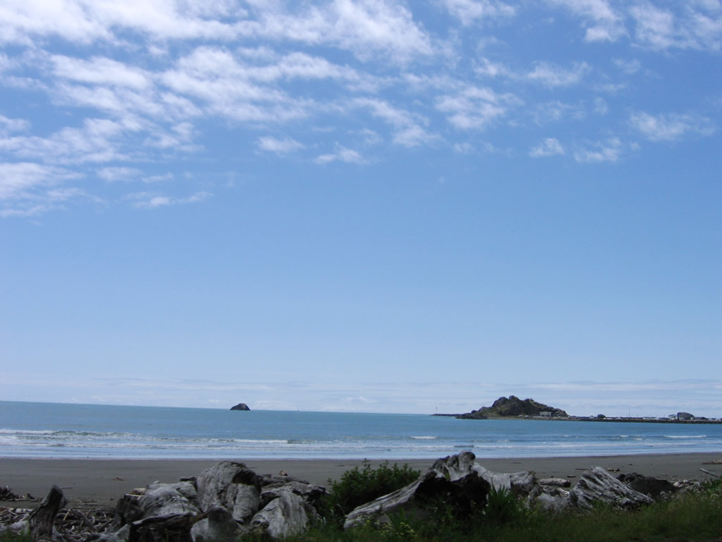
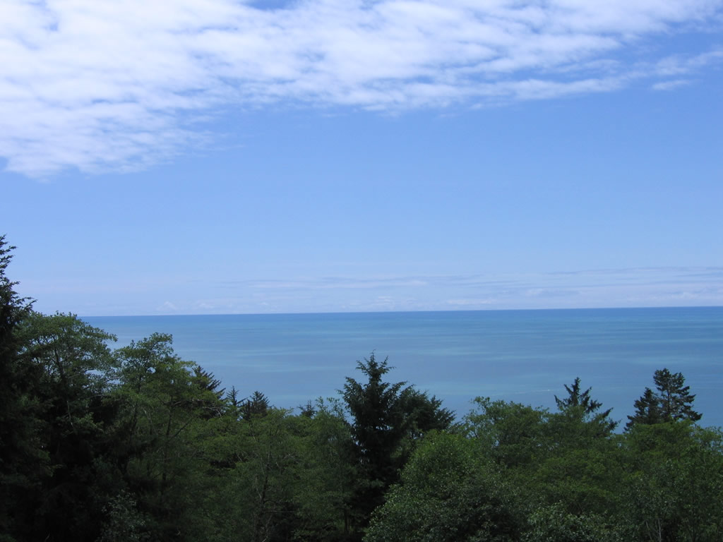
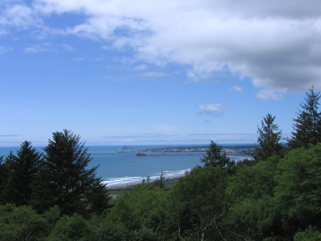
| Located south of Crescent City, Crescent Beach is a coastal area alongside U.S. 101 (Redwood Highway). 05/28/06 |
|
| The Pacific Ocean, Enderts Beach and Crescent Bay from the vista point along U.S. 101 in Redwood National Park. 05/28/06 |
|
| 9th Street east at M Street (U.S. 101 north) in Crescent City. 05/28/06 |
|
| 9th Street west at southbound U.S. 101 along L Street in Crescent City. 05/28/06 |
|
| The Dr. Ernest M. Fine Memorial Bridge carries U.S. 101 over the Smith River between Crescent City and the town of Smith River. 05/28/06 |
|
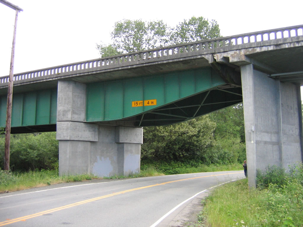
| A steel deck girder span, the Dr. Ernest M. Fine Memorial Bridge over the Smith River was constructed in 1940. 05/28/06 |
|
| The Dr. Ernest M. Fine Memorial Bridge from the south bank of the Smith River. 05/28/06 |
|
| Paralleling the Smith River southward from U.S. 101, SR 197 (N Bank Road) ties into U.S. 101 (Redwood Highway) just north of the Dr. Ernest M. Fine Memorial Bridge. 05/28/06 |
|
| The Smith River flows northwest from U.S. 101 into the Pacific Ocean between Pelican Bay and Pyramid Point. 05/28/06 |
|
| Viewing Prince Island west from S Indian Road at the Smith River Rancheria community along U.S. 101. 05/28/06 |
|
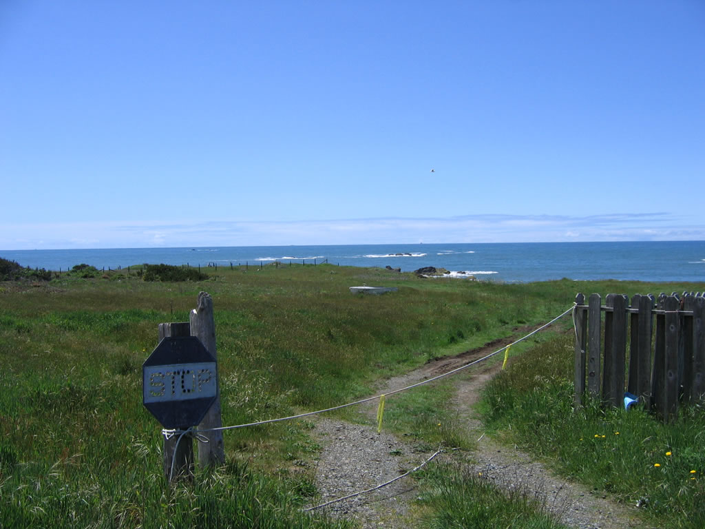
| A button copy stop sign at the entrance to private property along S Indian Road just west of U.S. 101 at Smith River Rancheria. 05/28/06 |
|
| N Indian River Road at U.S. 101 in Smith River Rancheria. This shield was removed by 2018. 05/28/06 |
Page Updated 06-03-2023.


 San Luis Obispo - Scenes