| U.S. 395 north |
|
Leaving Johannesburg, the next left is Randsburg-Red Rock Road, which travels west into the Randsburg Historic Mining Area and then continues west past Koehn Dry Lake through Fremont Valley to meet California 14 (Grand Army of the Republic Highway) in Red Rock Canyon State Park. Photo taken 11/10/08. |
|
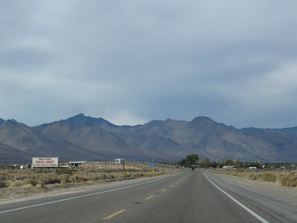
Randsburg, which is another unincorporated community in Kern County, had a population of 77 as of the 2000 Census. Like Johannesburg, mining drove the economy in the early 20th century. As the mines dried up, so did parts of the town. Today, many historic structures remain in downtown and are preserved as part of the Randsburg mining district. Photo taken 11/10/08. |
|
A U.S. 395 north reassurance shield assembly is posted shortly thereafter. Photo taken 11/10/08. |
|
A brief four-lane segment brings U.S. 395 on the downgrade from Johannesburg into the Fremont Valley. Ahead are El Paso Mountains and Summit Range. Photo taken 11/10/08. |
|
Northbound U.S. 395 meets Garlock Road, which travels west to the site of Garlock and then joins Randsburg-Red Mountain Road west toward California 14 at Red Rock Canyon State Park. Photo taken 11/10/08. |
|
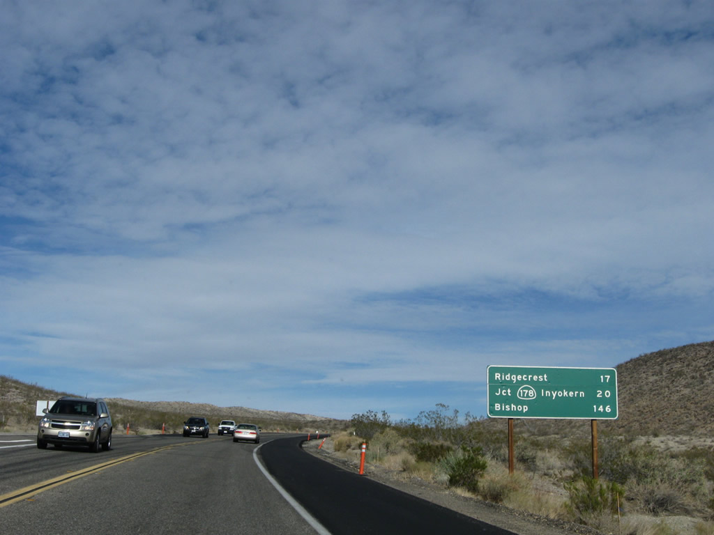
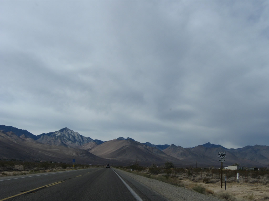
This mileage sign, posted after the Garlock Road intersection, provides the distance to Ridgecrest (17 miles via U.S. 395 Business), Inyokern (20 miles via California 178 west), and Bishop (146 miles). Photo taken 11/10/08. |
|
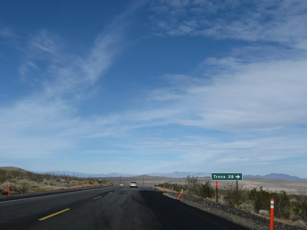
The next major intersection along U.S. 395 north is with Searles Station Cutoff, which travels northeast to join Trona Road en route to Searles Dry Lake, Trona, and Death Valley National Park. Photo taken 11/10/08. |
|
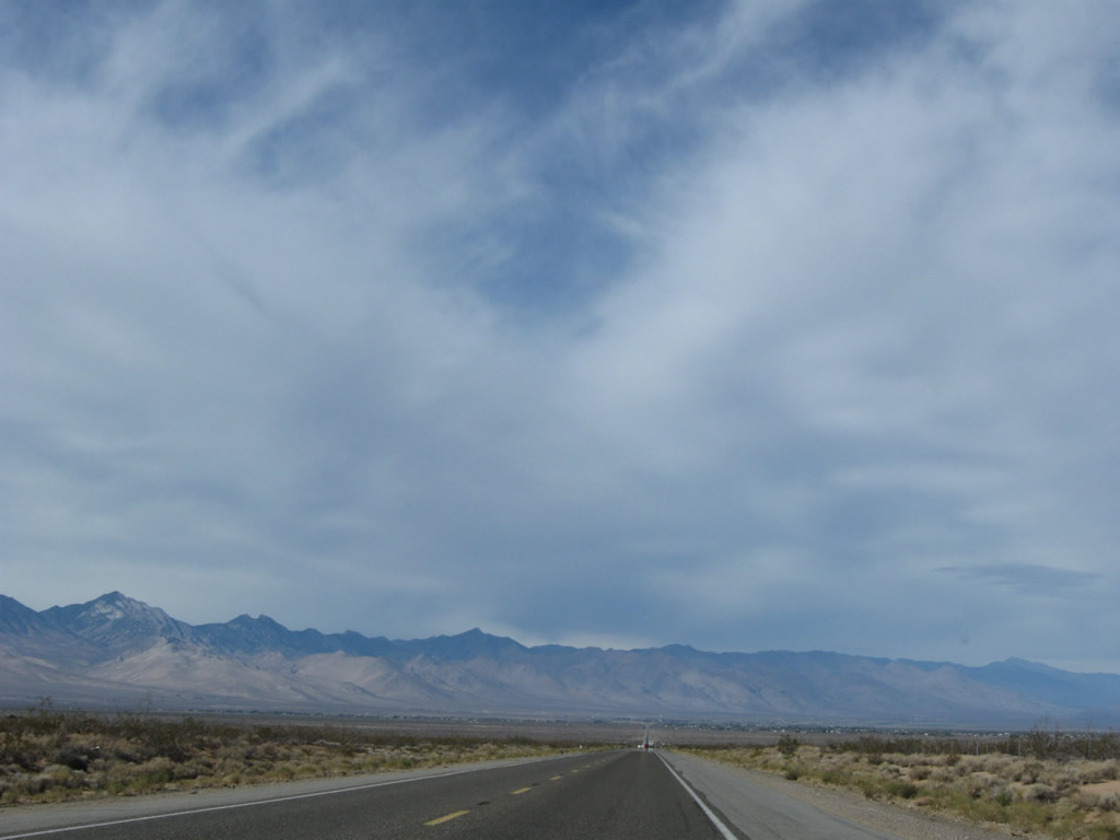
U.S. 395 passes between El Paso Mountains to the west and Summit Range to the west. Photo taken 11/10/08. |
|
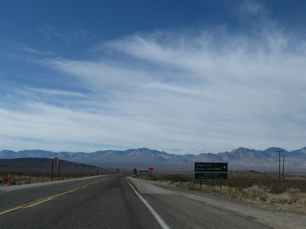
Northbound U.S. 395 approaches the turnoff to U.S. 395 Business (China Lake Boulevard), which travels north into the city of Ridgecrest and Naval Weapons Center-China Lake. Although signed as a business route, China Lake Boulevard (next right turn) never served as the original route of U.S. 395. That role was provided by Brown Road (Randsburg-Inyokern Road), which is the next left turn from U.S. 395 north. U.S. 395 went through Inyokern, not Ridgecrest. Now the highway travels between the two. Photo taken 11/10/08. |
|
The China Lake Naval Weapons Center and Naval Air Field brings employment to the areas around Ridgecrest. All motorist services can be found in Ridgecrest; follow U.S. 395 Business north. Services are also available in Inyokern. Photo taken 11/10/08. |
|
At the intersection, turn left for old U.S. 39 and Randsburg-Inyokern Road north, right for U.S. 395 Business (China Lake Boulevard) north, or continue straight ahead for U.S. 395 (Inyokern Bypass) (Super Two). Photo taken 11/10/08. |
|
This mileage sign provides the distance to Inyokern (nine miles), Independence (95 miles), and Bishop (137 miles) via U.S. 395 north. For the next seven miles or so, U.S. 395 assumes a two-lane freeway configuration, with sufficient rights of way for eventual widening to full freeway configuration with two lanes in each direction. Photo taken 11/10/08. |
|
From there, the two-lane highway is nice and flat all the way to the California 14 interchange, which is located close to the base of the distant Sierra Nevada (dominant ahead). Photo taken 11/10/08. |
|
Technically this segment of U.S. 395 defined as a freeway even though it only has two lanes. This is a fairly long, exitless stretch of highway. Photo taken 11/10/08. |
|
The next exit along U.S. 395 (Inyokern Bypass) north is Exit 97, California 178, which travels east to Ridgecrest and west to Inyokern. U.S. 395 Business also returns to U.S. 395 at this point. U.S. 395 does not pass through the centers of either Inyokern or Ridgecrest. To Brown Road (old U.S. 395), use California 178 west. Photo taken 11/10/08. |
|
|
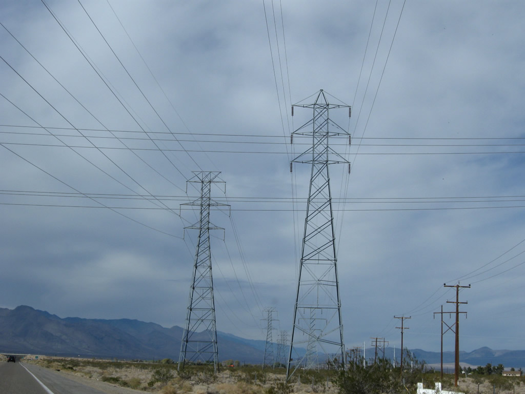
A set of power lines crosses over U.S. 395 prior to the California 178 and U.S. 395 Business off-ramp (Exit 97). The substation is located just east of U.S. 395 along California 178. Photos taken 11/10/08. |
|
|
Northbound U.S. 395 meets California 178 and U.S. 395 Business as a two-lane freeway. This interchange was built in 1974 along with the Inyokern Bypass. The off-ramp to U.S. 395 Business and California 178 (Exit 97) departs the freeway ahead. Photos taken 11/10/08. |
|
|
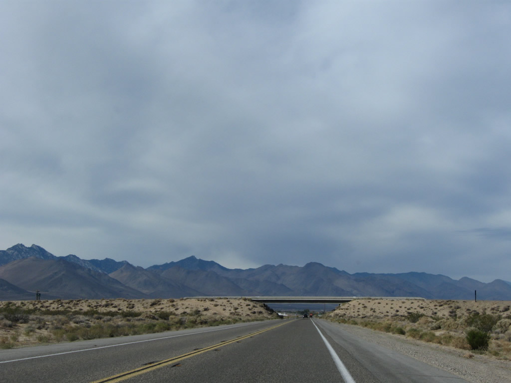
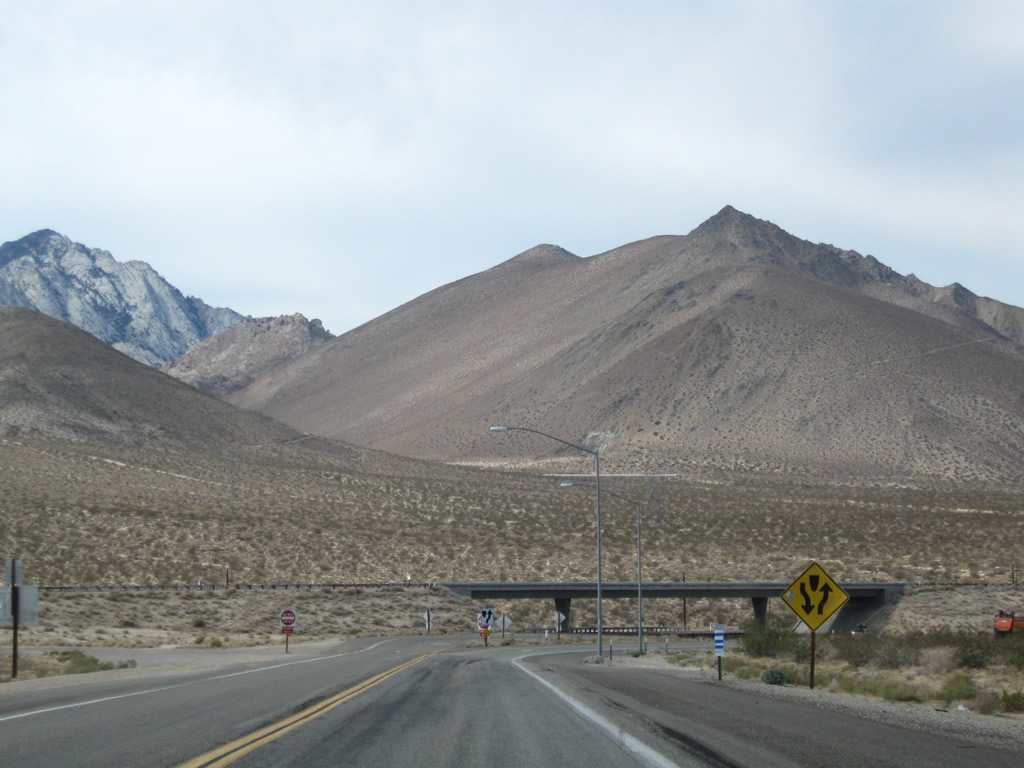
U.S. 395 passes under California 178. If U.S. 395 is widened to four lanes, this bridge would need to be widened to accommodate them. Photos taken 11/10/08. |
|
|
This view looks north from the California 178 bridge over U.S. 395. The Inyokern bypass, built in 1974, allows U.S. 395 to avoid downtown Inyokern. The bypass was built with two lanes and remains that way today (Super Two). Photos taken 10/08/06. |
|
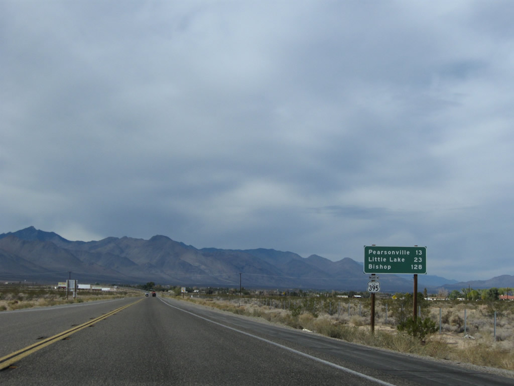
Another mileage sign provides the distance to Pearsonville (13 miles), Little Lake (23 miles), and Bishop (128 miles). It is not far from here to the merge with California 14, which will bring a great deal more traffic onto northbound U.S. 395. Photo taken 11/10/08. |
|
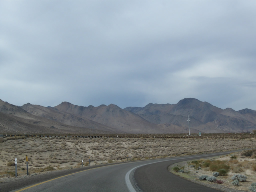
After the California 178 interchange, U.S. 395 turns northwest toward the California 14 interchange. Photo taken 11/10/08. |
|
Traffic from Old U.S. 395 (Brown Road) merges onto U.S. 395 north. There is no direct access from U.S. 395 north. The old alignment continues north from this interchange along Brown Road, rejoining U.S. 395 at Pearsonville. Photo taken 11/10/08. |
|
A U.S. 395 north reassurance shield is posted shortly thereafter. Photo taken 11/10/08. |
|
The U.S. 395 freeway ends, with an at-grade intersection with Athel Avenue. Additional at-grade intersections are found at Avenue Del Sol and Sierra Vista Street before U.S. 395 merges with California 14 north. Photo taken 11/10/08. |
|
Another U.S. 395 reassurance shield is posted shortly after the intersection with Athel Avenue. The other two at-grade intersections only connect from the northbound side of U.S. 395, so there is no traffic crossing the middle of the highway. Photo taken 11/10/08. |
|
|
|
Northbound U.S. 395 approaches the interchange with California 14 (built in 1993). The interchange configuration only allows for a connection from U.S. 395 south to California 14 south and from California 14 north to U.S. 395. There is no direct connection from U.S. 395 north to California 14 south. All traffic on U.S. 395 north turns toward the right at this interchange. Photos taken 11/10/08. |
|
|
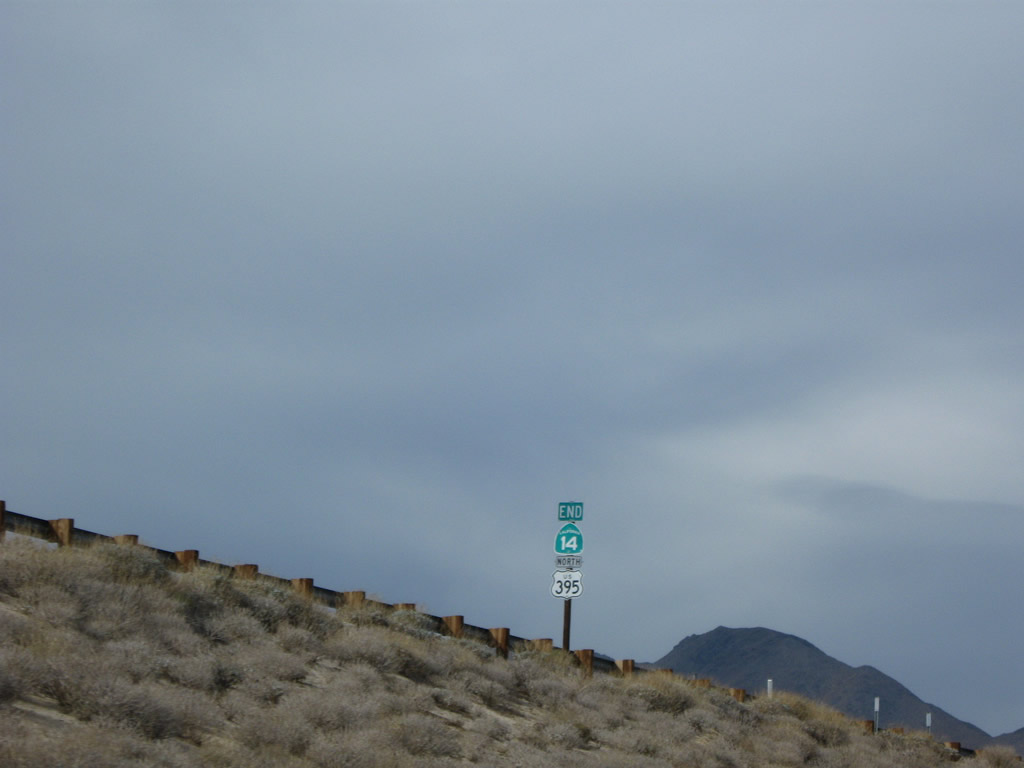
Traffic on U.S. 395 north will merge onto California 14 north from the right. This would be Exit 101 if the exits were numbered on U.S. 395 (as of 2010, Caltrans has not yet numbered exits on U.S. 395 between Interstate 15 and the Nevada state line). Looking up at the mainline of California 14, a shield assembly indicates the end of California 14 and continuation of U.S. 395. California 14 is the successor to U.S. 6, which used to travel southwest from here toward Los Angeles. In 1964, when U.S. 6 was eliminated, the segment between Santa Clarita and Pearsonville became known as California 14. Photos taken 11/10/08. |
|
U.S. 395 north and California 14 north merge together at this point. From here north, U.S. 395 generally has four lanes. The section of U.S. 395 between here and Bishop is also known as the Midland Trail or Grand Army of the Republic Highway; these names are associated with U.S. 6, and they both follow U.S. 6 northeast upon leaving Bishop. U.S. 395 remains Three Flags Highway. Photo taken 11/10/08. |
|
An at-grade intersection with Seibenthal Road is located almost immediately after California 14 and U.S. 395 merge. A gas station and mini-mart are located on the west side of this intersection. Photo taken 11/10/08. |
|
This mileage sign provides the distance to Pearsonville (seven miles), Little Lake (17 miles), and Bishop (U.S. 6, 122 miles). The reason U.S. 6 was truncated to end in Bishop was to eliminate the 122-mile gap between the California 14 interchange and Bishop. Photo taken 11/10/08. |
|
Northbound U.S. 395 approaches Leliter Road. Photo taken 11/10/08. |
|
A dynamic message sign is posted soon thereafter for any weather advisories. The next intersection is with Grapevine Canyon Road west and Neal Ranch Road east. Photo taken 11/10/08. |
|
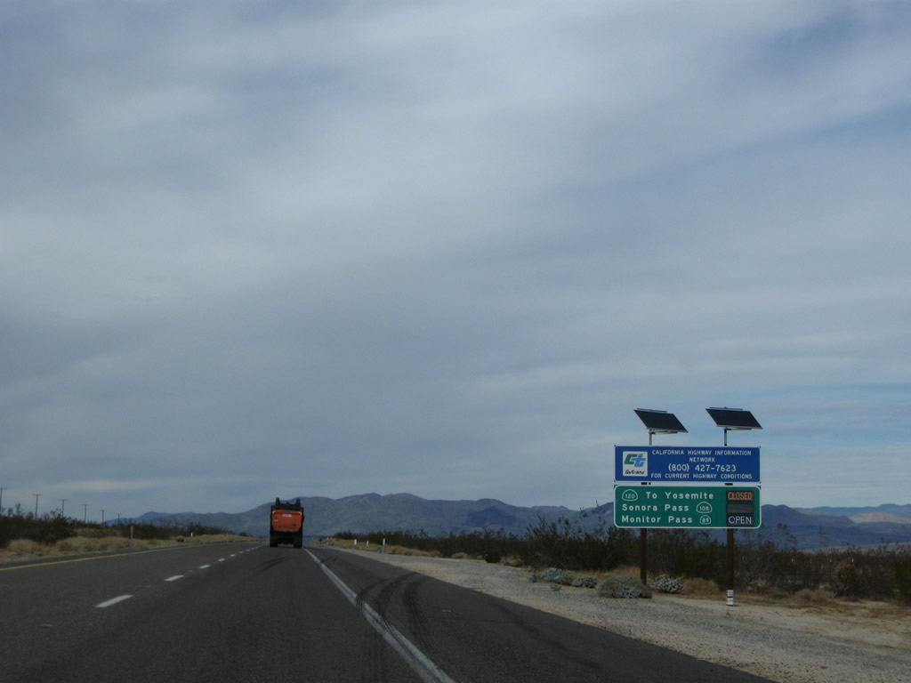
This sign advises of whether various mountain passes are open or closed. In winter, California 108 (Sonora Pass) and California 120 (Tioga Pass) are typically closed; no snow removal operations are conducted on those roads. California 89, which crosses both Monitor Pass and Luther Pass, may be open or closed depending on winter weather conditions. This high-tech sign is an upgrade when compared to the older signs that used to have flips to indicate "OPEN" or "CLOSED." In summer, the mountain passes are typically open barring any road construction, fires, or rockslides. Photo taken 11/10/08. |
|
U.S. 395 functions as a four-lane, divided highway. The next intersection along U.S. 395 north is with Coyote Trail Avenue (not shown). Photo taken 11/10/08. |
|
Old U.S. 395 rejoins the mainline highway at this intersection, which connects U.S. 395 with Brown Road. Photo taken 11/10/08. |
|
The next intersection along U.S. 395 north is with Pearson Road, which connects to the unincorporated community of Pearsonville. Pearson Road is basically the frontage road on the east side of the expressway. Turn left here for Sterling Road, which is the west side frontage road. Photo taken 11/10/08. |
|
Northbound U.S. 395 enters the unincorporated community of Pearsonville. Some motorist services (food, gas) are located here. At this point, U.S. 395 leaves Kern County and enters Inyo County. Photo taken 11/10/08. |
Page Updated March 31, 2010.