
U.S. 395 South - Lassen County and Sierra County
| U.S. 395 south | |
|---|---|
 |
This U.S. 395 south reassurance shield is posted after the Exit 8 diamond interchange with California 70 at Hallelujah Junction. There are no additional U.S. 395 route markers found along the expressway between here and the Nevada state line. Photo taken 09/09/05. |
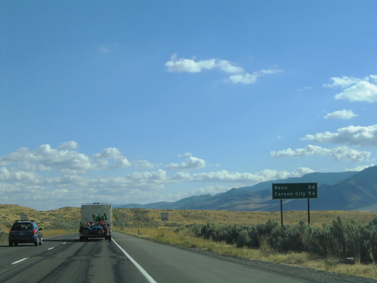 |
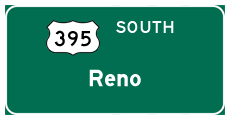
U.S. 395 continues southward into Reno and Carson City, Nevada, from Hallelujah Junction. A mileage sign lists the distances to those destination cities after the junction with California 70. Photo taken 09/09/05. |
 |
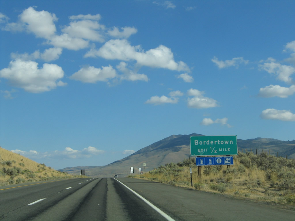
Traveler services lie six miles ahead across the Nevada state line at Bordertown; a casino also operates there. The rain shadow caused by the Sierra Nevada to the west leave the areas of U.S. 395 in Lassen and Sierra County desolate and dry. Photo taken 09/09/05. |
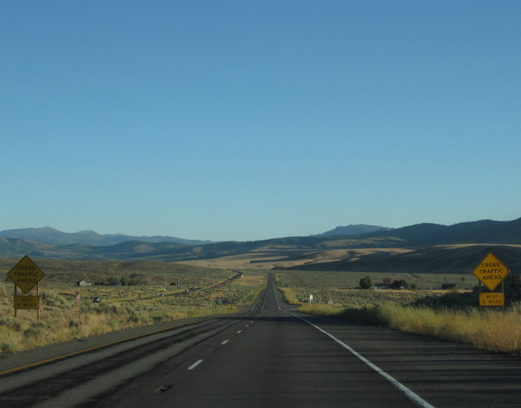 |
U.S. 395 has a few at-grade intersections between the California 70 interchange at Hallelujah Junction and the California-Nevada state line. The next at-grade intersection is with Bringman Road. Photo taken 09/04/10. |
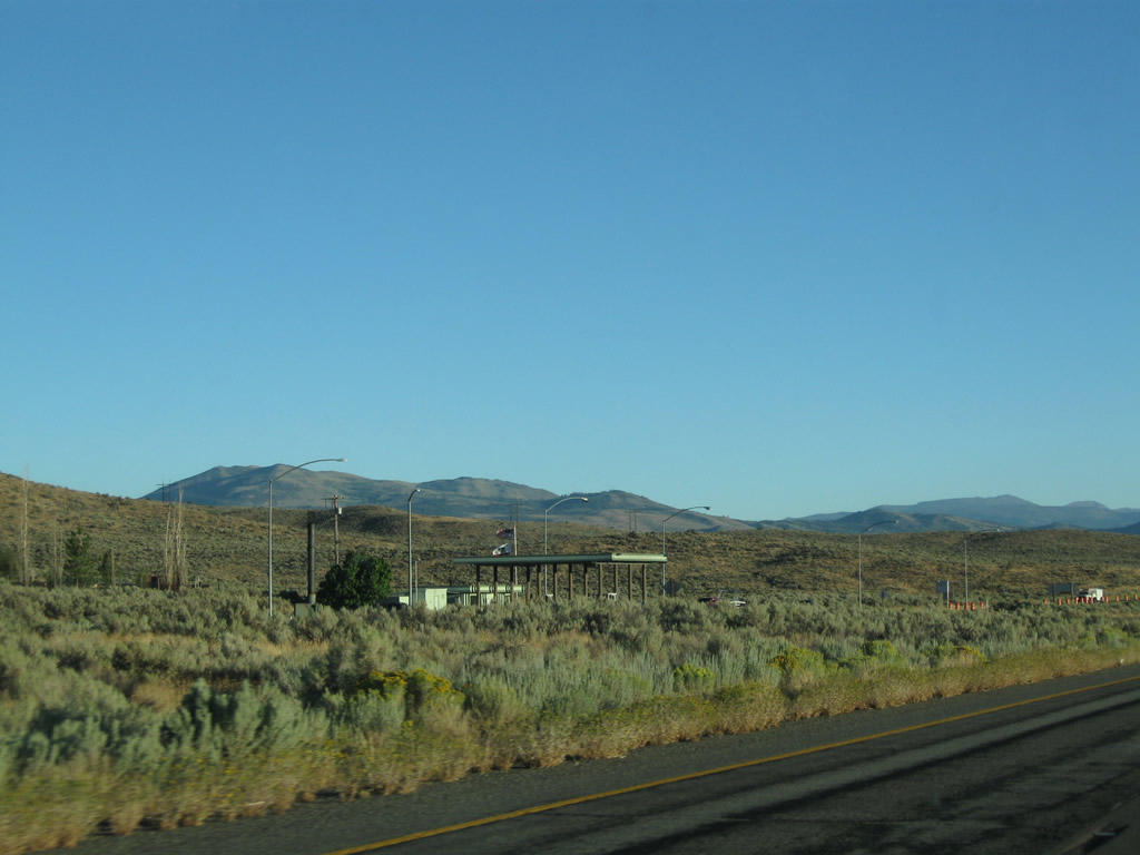 |
A California state agricultural inspection station is located along U.S. 395 north; it is visible from the southbound lanes. Photo taken 09/04/10. |
 |
Weather and traffic information is available on the radio. U.S. 395 will change dramatically ahead as it approaches the Reno-Sparks metropolitan area. Photo taken 09/04/10. |
 |
Passing over the Evans Canyons undercrossing on U.S. 395 southbound, a small white sign is placed by Caltrans to indicate the bridge number and name of the underpass. Similar type signs are used all over the California state route system to provide names of interchanges, overpasses, rivers, culverts, and other bridges along the California highway system. These signs typically identify the route number, formal name, post mile, and bridge identification number. Photo taken 09/09/05. |
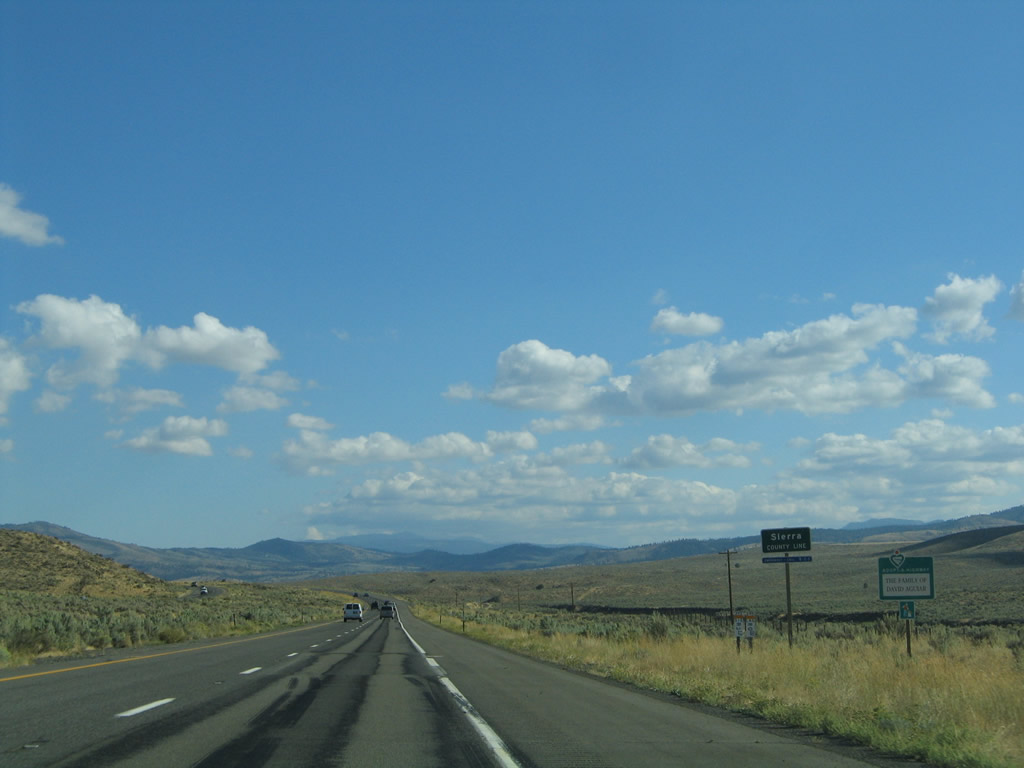 |
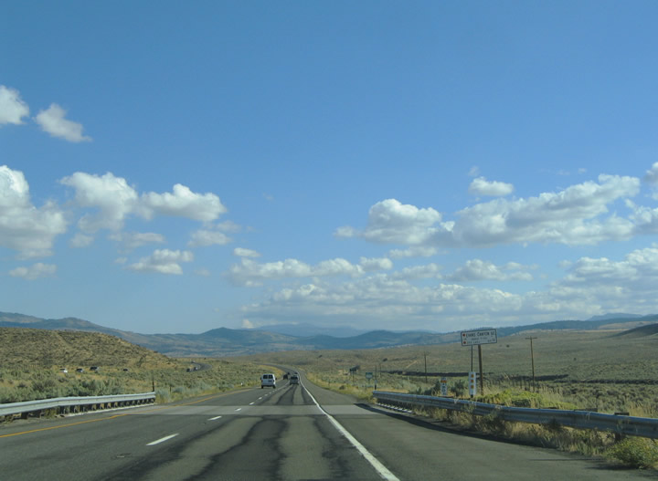
U.S. 395 south leaves Lassen County and enters the far eastern corner of Sierra County. U.S. 395 barely enters Sierra County; only 3.2 miles of pavement comprise all of U.S. 395 in Sierra County. Photos taken 09/09/05. |
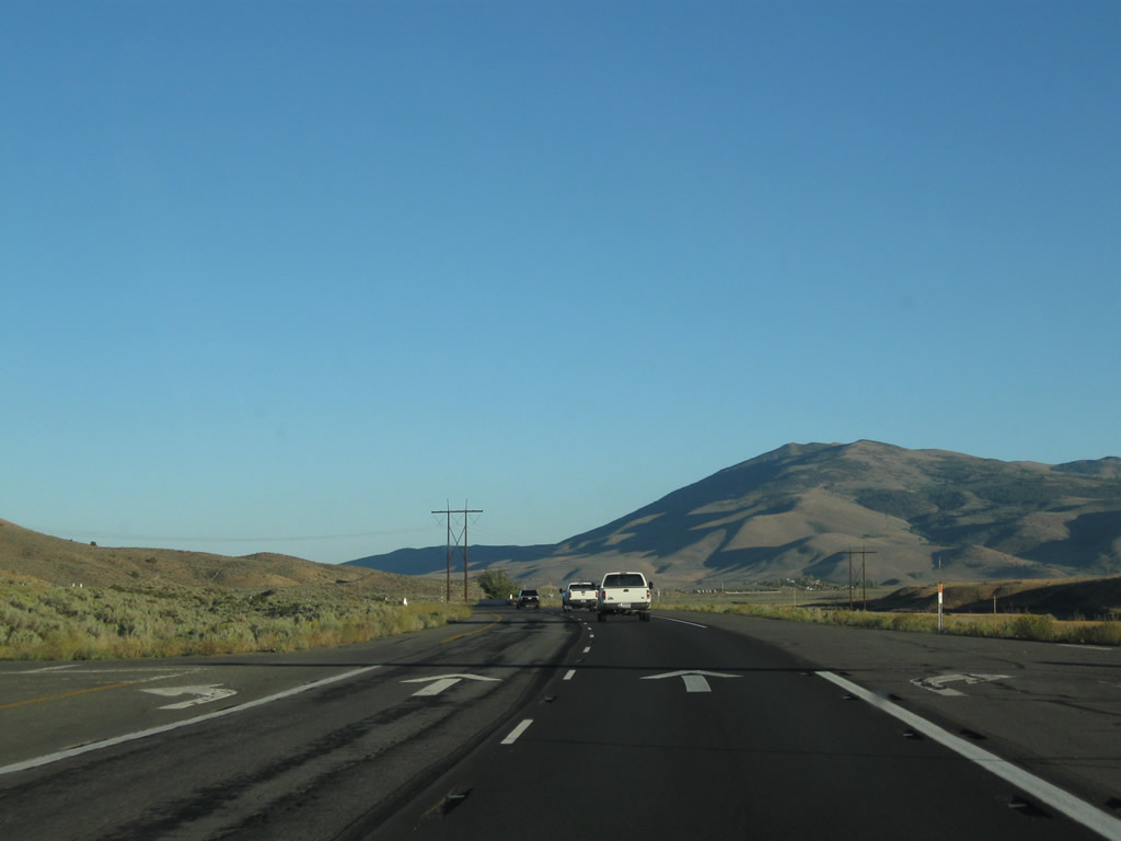 |
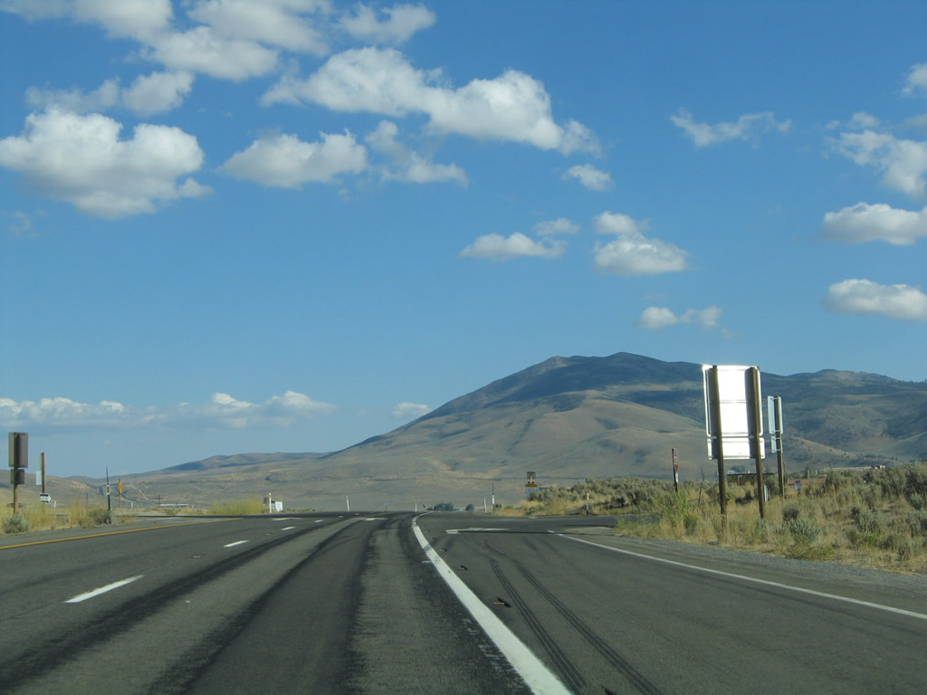
The next at-grade intersection along U.S. 395 south is with Scott Road. Photo taken 09/04/10. |
 |
 |
 |
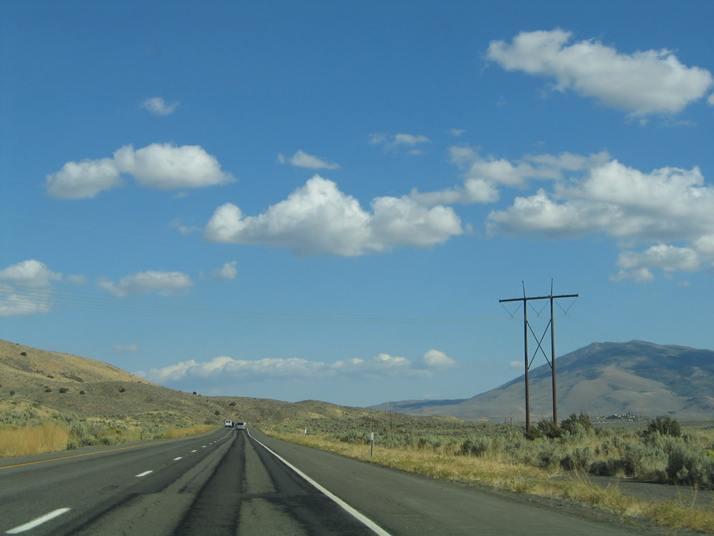
A 345kV high-voltage power transmission line crosses over U.S. 395 between the county line and the state line. This power line originates near the Malin, Oregon, power substation (where it interconnects with the main alternating current Pacific Intertie 500kV system) and extends southeast to Reno and links to northern Nevada's power grid. The dry, sagebrush covered hills are devoid of any development. Photos taken 09/09/05 and 09/04/10. |
 |
The next two exits from U.S. 395 south are an at-grade intersection with Long Valley Road in California and Exit 83, Village Parkway to Border Town (also spelled as Bordertown). The sign for "Border Town" is the old Caltrans standard (non-reflective green background with button copy letters), while the reflective exit number tab on top was likely supplied by the Nevada Department of Transportation. Photo taken 09/09/05. |
 |
Vehicles carrying hazardous materials must register with the Nevada Highway Patrol. After Exit 83, U.S. 395 will remain a full freeway with controlled access all the way to Reno-Sparks, including an intricate interchange with Interstate 80. Photo taken 09/09/05. |
 |
This mileage sign provides the distance to Reno (17 miles) and Carson City (47 miles). Photo taken 09/09/05. |
 |
U.S. 395 southbound approaches Long Valley Road in California and Exit 83, Village Parkway to Border Town (also spelled as Bordertown). Village Parkway meets the freeway ahead between Cold Springs, Nevada, and old U.S. 395 (southbound side frontage road). The parkway straddles the northern reaches of the dry White Lake. Travelers will find services ranging from gas, food, and camping at Border Town (Bordertown). Photo taken 09/09/05. |
 |
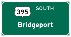
U.S. 395 is not a full freeway between Hallelujah Junction and Nevada despite the fact that many maps display it as such. The reason for the expressway status involves the at-grade intersections with Long Valley Road, Scott Road, and Bringman Road on the stretch (as shown in this series). Pictured here is the Long Valley Road turn-off from southbound U.S. 395 just before we enter the Silver State of Nevada. Photo taken 09/09/05. |
 |
Soon thereafter, a Nevada welcome sign is posted on U.S. 395 southbound at the Washoe County line. The four-lane freeway skims between Peavine Pike (el. 8,272 feet) and Granite Peak southeast from Bordertown to Reno. A small "snow chains required when flashing" sign accompanies the welcome sign. These types of signs are posted throughout snow prone areas of Nevada. The off-ramp to Exit 83 follows immediately after crossing the state line. Photo taken 09/09/05. |


Page Updated April 26, 2012.
|
About Contact Glossary |
In The News Testimonials Interstate Guide |
Social Media:
 |
|
© 2000-23 AARoads.com | All Rights Reserved | Privacy Policy / Terms of Use
|
||