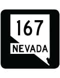
Former Nevada State Route 167 - Lakeshore Road
Nevada 167 formerly connected Nevada 147 in Lake Mead Recreational Area with Nevada 169 near Valley of Fire State Park along Northshore Road. With the entire in Lake Mead National Recreation Area, signs for the state route designation were removed since the road is maintained by the park service. Counting up as the road heads northward, the National Park Service uses brown mileposts with the suffix NS for Northshore Road.
Funded by the Federal Lands Highway Program Funds, a $13 million project improved and realigned three sections of Northshore Road from October 2008 to July 2009. The intersection with the Overton Beach turnoff was reconfigured, with Northshore Road realigned onto a gradual curve to improve the geometry. Northshore Road at the Valley of Fire Wash was straightened out to eliminate a nearly mile section of winding road. The new alignment was constructed 4,800 feet to the north of a replacement bridge over Valley of Fire Wash, and 1,600 feet to the south. A second new bridge was built across Echo Wash, with Northshore Road straightened out for 2,600 feet to the north and 3,000 feet to the south.1
| Former Nevada 167 - Northshore Road south | |
|---|---|
 |
Northshore Road heads east from Valley of Fire Highway (old SR 169) to intersect the access road to Overton Beach. The ensuing stretch was realigned to curve southward during 2009 construction. Photo taken 03/29/08. |
 |
The Overton Beach turnoff intersection was shifted slightly southward by 2009. The access road was closed to vehicles by 2011. Photo taken 03/29/08. |
 |
Heading south toward the Muddy Mountains, the 2008-09 improvement project along Northshore Road straightened out highway at milepost 43. This scene looks at the previous winding stretch located east of the current roadway. Photo taken 03/29/08. |
 |
Stewarts Bay on Lake Mead comes into view to the southeast of Northshore Road at Valley of Fire Wash. Photo taken 03/29/08. |
 |
Southbound Northshore Road approaches Echo Bay Road, which provides access to Lake Mead at Echo Bay. Photo taken 03/29/08. |
 |
This bridge carried Northshore Road south across Echo Wash to the east of East Longwell Ridge. 2008-09 road work replaced this span and straightened nearby curves. Photo taken 03/29/08. |
 |
 |
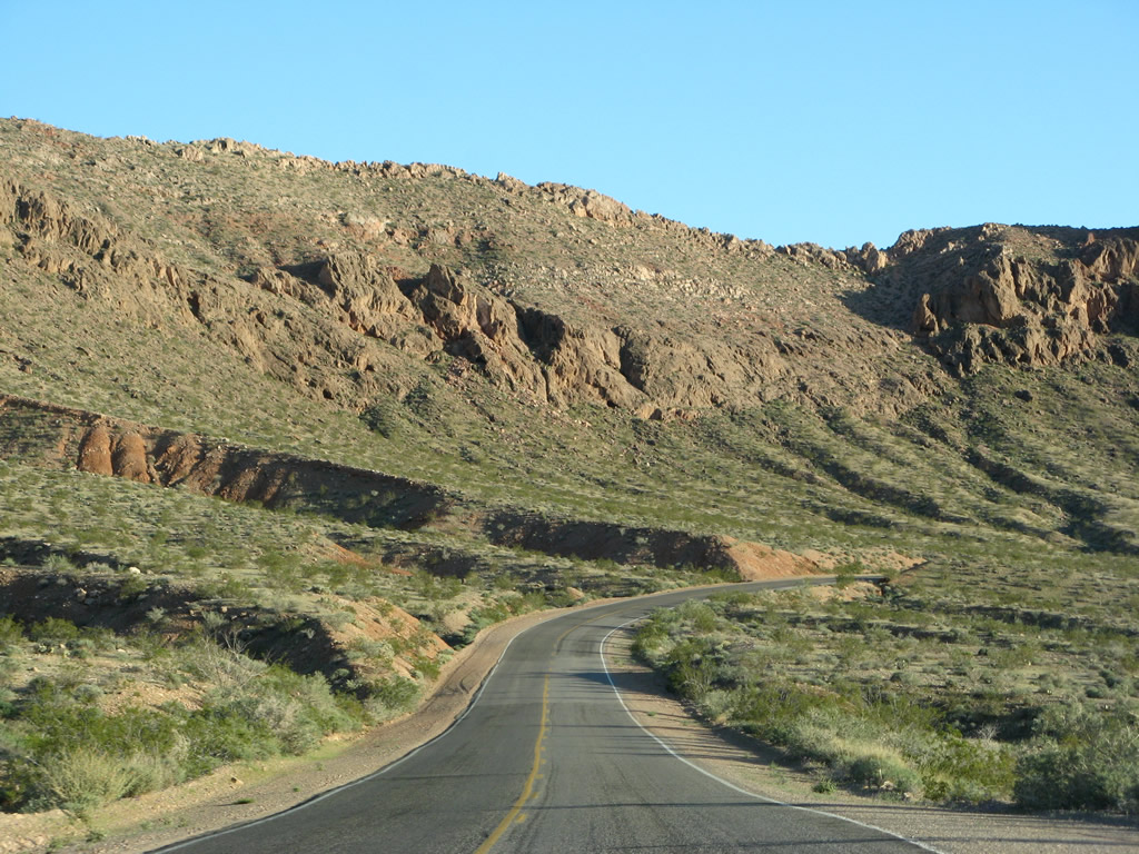 |
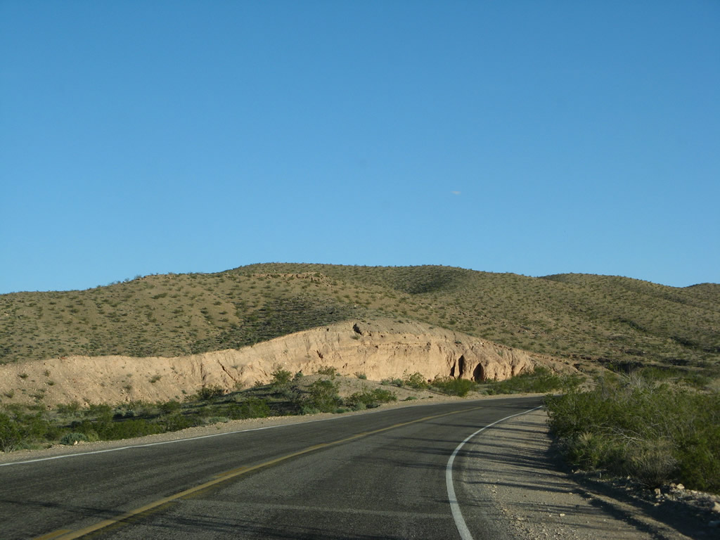
| This suite of photos shows the Lake Mead National Recreation Area scenery along Northshore Road south from Echo Wash toward the Echo Hills. Photos taken 03/29/08. | ||
 |
 |
 |
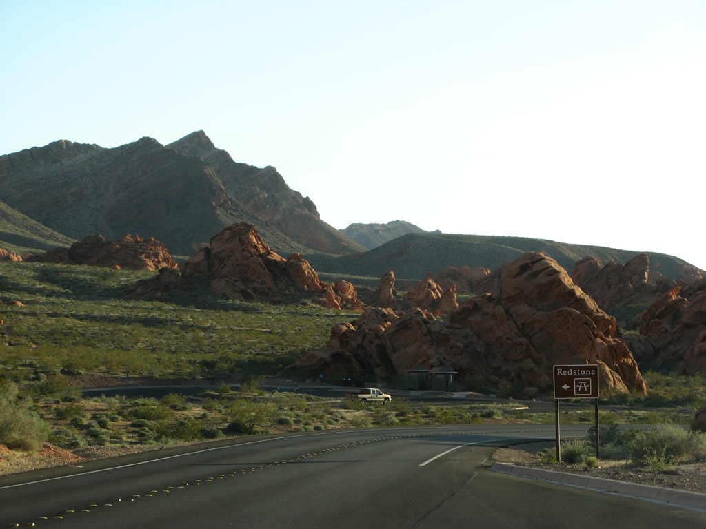
| Red rocks reminiscent of Valley of Fire State Park are located at Redstone, a roadside stop and trail head along Northshore Road near the Echo Hills. Photos taken 03/29/08. | ||
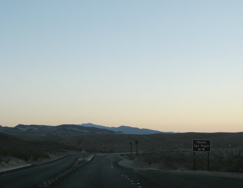 |
Southbound Northshore Road meets Lake Mead Boulevard west at the upcoming intersection. Lake Mead Boulevard becomes Nevada 147 upon departing the national recreation area, and meets Interstate 15 in the city of North Las Vegas. Photo taken 03/29/08. |
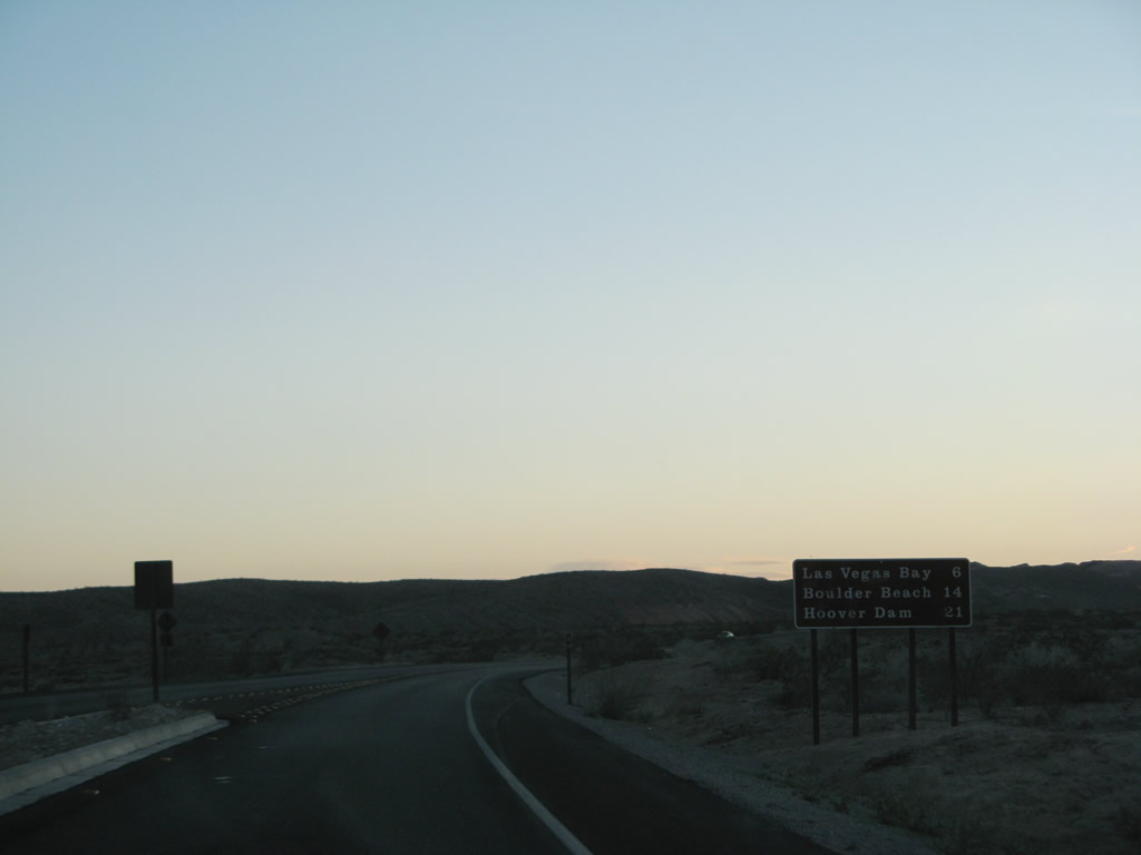 |
Replaced by 2015, this mileage sign after Lake Mead Boulevard listed the distances to Las Vegas Bay (6 miles), Boulder Beach (14 miles) and Hoover Dam (21 miles) via the continuation of Northshore Road south. Photo taken 03/29/08. |
 |
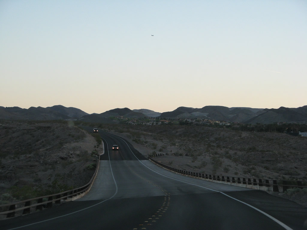
Curving south from Butte Wash, the exclusive Lake Las Vegas development comes into view, including the lake and the various residences and condominiums that surround it. Photo taken 03/29/08. |
 |
This bridge carries Northshore Drive south over the Lake Las Vegas spillway (Las Vegas Wash). Photo taken 03/29/08. |
 |
Southbound Northshore Road ends at Lakeshore Drive. Historically, Nevada 167 ended at this intersection, and a right turn connected to former Nevada 147 (Lake Mead Drive) west to Henderson. Lake Mead Drive is now Lake Mead Parkway and designated as Nevada 564 beyond the National Recreation Area boundary. Lakeshore Drive south carried Nevada 166 around the River Mountains to U.S. 93 near Boulder City and Hoover Dam. Photo taken 03/29/08. |
Sources:
- "Renovations Underway On Northshore Roadway." Moapa Valley Progress (Logandale, NV), January 14, 2009.
Page Updated July 17, 2017.
|
About Contact FAQ |
Spotlights Testimonials Interstate Guide |
Social Media:
 |
|
© 2000-23 AARoads.com | All Rights Reserved | Privacy Policy / Terms of Use
|
||