Nevada 206 serves the Carson Valley, following eastern edge of the Carson Range. The route originates on U.S. 395 north of Minden, proceeds west to Genoa, turns south through Walleys Hot Springs, Mottsville, and Sheridan, and ends at Nevada 88 just north of the Nevada-California State Line south of Minden.
Nevada 206 consists of two components: the north-south Foothill Road and Jacks Valley Road between Nevada 88 and Genoa, and the east-west Genoa Lane segment between Genoa and U.S. 395. Between the 1930s and the Great Nevada Renumbering of 1976, the Foothill/Jacks Valley Road segment was defined as Nevada 19, and the Genoa Lane segment was defined as Nevada 57. Between 1976 and ca. 1996, the Foothill/Jacks Valley Road segment was defined as Nevada 206, and the Genoa Lane segment was designated as Nevada 758. In ca. 1996, Jacks Valley Road north of Genoa was removed from Nevada 206 (it is now county maintained), and Nevada 206 replaced Nevada 758 along Genoa Lane. That configuration remains in place today, even though many maps still incorrectly show Nevada 206 on Jacks Valley Road north of Genoa and Nevada 758 on Genoa Lane east of Genoa.
| Nevada 206 north |
|---|
|
Leaving the intersection with Nevada 207, this Nevada 206 north reassurance shield is posted along northbound Foothill Road. Photo taken 07/24/09. |
|
Traveling north, Nevada 206 sees Nevada 207/Kingsbury Grade begin its ascent to Daggett Pass en route to Lake Tahoe. Photo taken 07/24/09. |
|
|
|
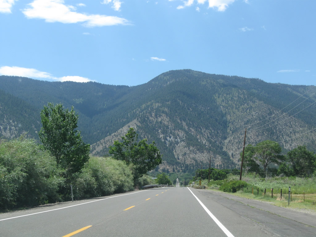
This series of photos follows Nevada 206/Foothill Road north as it passes through the northern Carson Valley. Photos taken 07/24/09. |
|
|
|
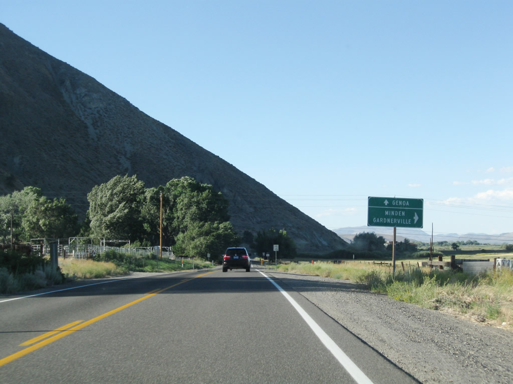
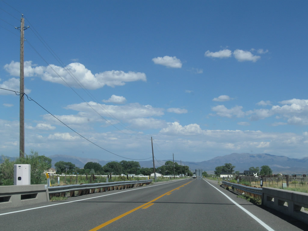
Northbound Nevada 206/Foothill Road approaches its junction with Nevada 757/Muller Lane east to U.S. 395 and Minden. Nevada 757 serves as a connector route between U.S. 395 and Walley's Hot Springs. Photos taken 07/24/09. |
|
This Nevada 206 north reassurance shield is posted along Foothill Road between the Nevada 757/Muller Lane intersection and David Walley's Hot Springs resort and spa. Photo taken 07/19/09. |
|
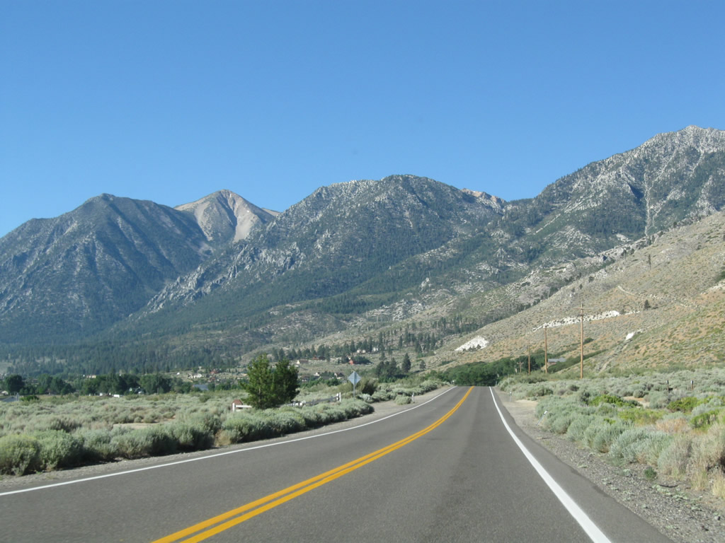
Nevada 206 lives up to its designation as Foothill Road by staying close to the edge of the Carson Range. The speed limit remains at 55 miles per hour until entering the town of Genoa just north of David Walley's resort. Photo taken 07/19/09. |
|
The next right from Nevada 206 serves David Walleys Hot Springs resort and spa. Nevada 206 continues north toward Genoa. Photo taken 07/19/09. |
|
A large barrel welcomes visitors to David Walleys Hot Springs. For a fee, visitors may soak in the hot springs that give Walleys Hot Springs its name. Additionally, the facility a spa for weary travelers. Photo taken 07/19/09. |
|
The resort at Walleys Hot Springs includes vacation rentals and timeshares. Photo taken 07/19/09. |
|
|
|
Leaving Walleys Hot Springs, towering Genoa Peak (elevation 9,150 feet above sea level) dominates the view along northbound Nevada 206. Photos taken 07/19/09. |
|
Curving to the northwest, Nevada 206 approaches the town of Genoa. Photo taken 07/19/09. |
|
The Genoa post office is located ahead on the left. Photo taken 07/19/09. |
|
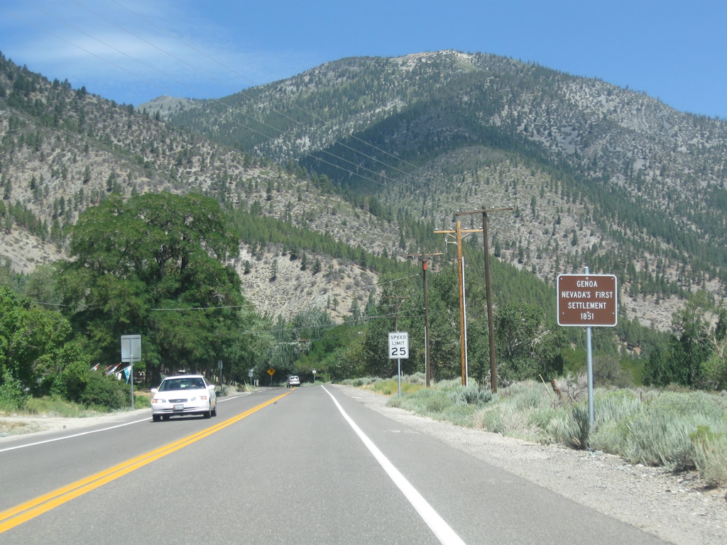
Nevada 206 enters the town of Genoa. Founded in 1851, Genoa is Nevada's first settlement (originally known as Mormon Station, it changed into Genoa in 1855). A large fire in 1910 devastated much of the town; the Douglas County seat left Genoa and moved to Minden in 1916. Some of the attractions of Genoa include a non-denominational country church owned by the town, Mormon Station State Park, Genoa Town Park, and Genoa Courthouse Museum. Several shops are also found in downtown Genoa, which lies ahead. (Watch your speed, as the highway descends to a 25 mile-per-hour limit.) Photo taken 07/19/09. |
|
The main intersection in town is the junction between Nevada 206/Foothill Road, Jacks Valley Road, and Nevada 206/Genoa Lane (former Nevada 758). Northbound Nevada 206 will make a sharp right turn from Foothill Road onto Genoa Lane at this intersection. Photo taken 07/19/09. |
|
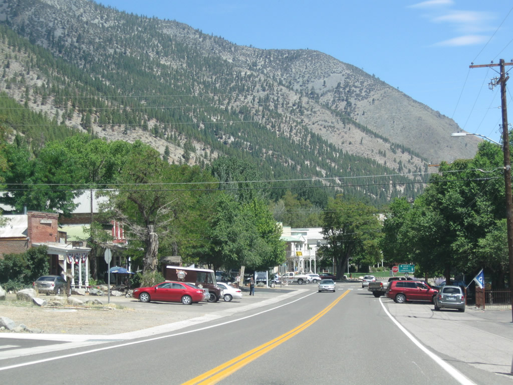
Downtown Genoa lines both sides of Nevada 206. Parking is available for visitors on either side of the state route. Photo taken 07/19/09. |
|
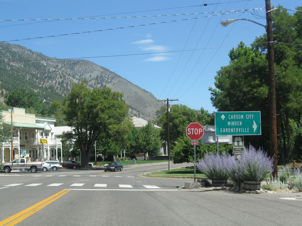
Meeting Genoa Lane in downtown Genoa, this sign points the way to Carson City (straight ahead on Douglas County-maintained Jacks Valley Road) or to Minden and Gardnerville via Nevada 206 east on Genoa Lane. Mormon Station State Park is located on the northeast corner of this intersection. Turn left here to Genoa Town Park, which offers summer concerts in the park. Photo taken 07/19/09. |
|
This view looks at the northwest corner of the Genoa Lane-Jacks Valley Road intersection in downtown Genoa. Photo taken 07/19/09. |
|
Leaving downtown Genoa, a Nevada 206 north reassurance shield is posted on eastbound Genoa Lane. From here, the state route travels due east across the Carson River and its various channels before meeting U.S. 395. Photo taken 07/19/09. |
|
|
|
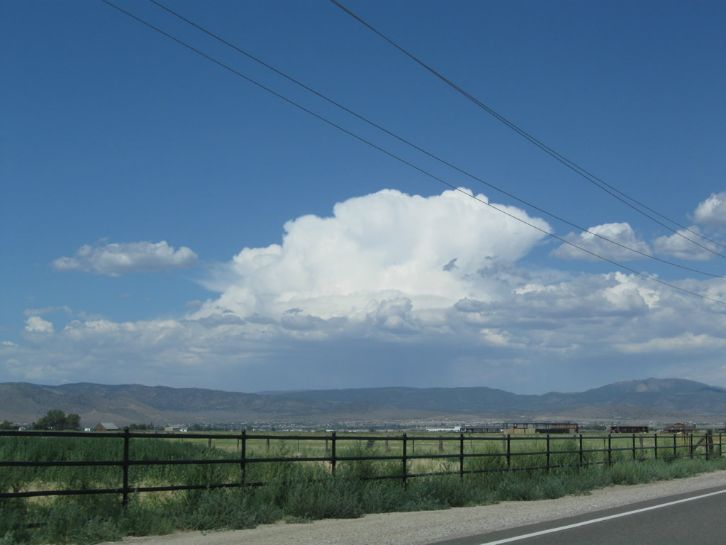
The speed limit increases to 45 miles per hour as we leave Genoa and see farm and ranchland ahead. The highway will cross four channels of the Carson River via four separate bridges (all built in 1967). A late-day summer thunderstorm developed over the Pine Nut Mountains east of here. Photos taken 07/19/09. |
|
|
|
|
|
Reaching the northern terminus of Nevada 206 (and former eastern terminus of Nevada 758), eastbound Genoa Lane ends at a stop sign "T" intersection with U.S. 395. An end shield is posted for Nevada 206. Turn left to follow U.S. 395 north to Carson City and Reno, or turn right to follow U.S. 395 south to Minden, Gardnerville, Topaz Lake, and Bishop. Photos taken 07/19/09. |
|
|
| Nevada 206 south |
|---|
|
The first Nevada 206 south reassurance shield is posted after the U.S. 395 intersection east of Genoa. The section of Nevada 206 between U.S. 395 and Jacks Valley Road in Genoa was originally signed as Nevada 758. Photo taken 07/19/09. |
|
The drive from U.S. 395 west to Genoa via Nevada 206/Genoa Lane west is a straight shot toward the Carson Mountains. Photo taken 07/19/09. |
|
|
|
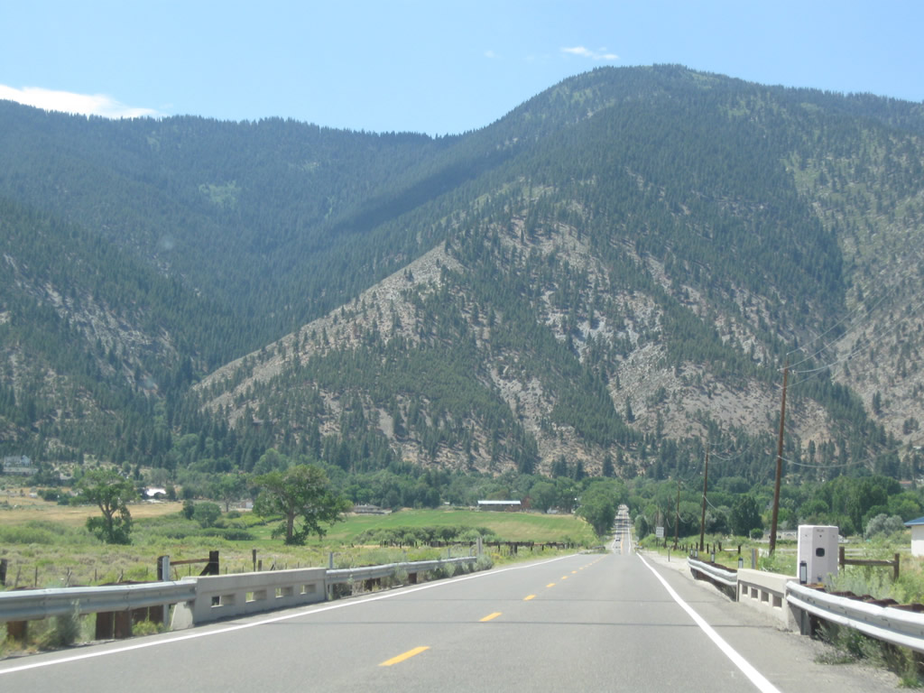
Nevada 206/Genoa Lane crosses the Carson Valley, linking U.S. 395 with Genoa. The route crosses the fertile lands formed by the Carson River and its branches, channels, and tributaries through the valley. Ranches and farms line both sides of the highway. Photos taken 07/19/09. |
|
|
|
As it proceeds west through the Carson Valley, Nevada 206/Genoa Lane crosses the Carson River channels four times (East Branch, Central Branch, West Branch, and Overflow Channel), each on bridges built in 1967. Photos taken 07/19/09. |
|
|
|
Nevada 206/Genoa Lane approaches Meadow Lark Lane and enters the town of Genoa. Founded in 1851, Genoa is Nevada's first settlement (originally known as Mormon Station, it changed into Genoa in 1855). A large fire in 1910 devastated much of the town; the Douglas County seat left Genoa and moved to Minden in 1916. Some of the attractions of Genoa include a non-denominational country church owned by the town, Mormon Station State Park, Genoa Town Park, and Genoa Courthouse Museum. Several shops are also found in downtown Genoa, which lies ahead. (Watch your speed, as the highway descends to a 25 mile-per-hour limit.) Photos taken 07/19/09. |
|
|
|
Westbound Nevada 206/Genoa Lane meets Jacks Valley Road at this stop sign. Through traffic for Nevada 206 south to Walleys Hot Springs, Mottsville, and Kingsbury Grade should turn left (south). Turn right to follow Jacks Valley Road toward Carson City. The entrance to Mormon Station State Park is located on the northeast corner of the upcoming intersection. To Genoa Town Park, continue straight through the stop sign and look for the park on the left. Photos taken 07/19/09. |
|
Now traveling south on Nevada 206/Foothill Road, this view looks at the Genoa town hall on the east side of the state route. Photo taken 07/19/09. |
|
Nevada 206/Foothill Road continues south past David Walleys Hot Springs resort. Photo taken 07/20/09. |
|
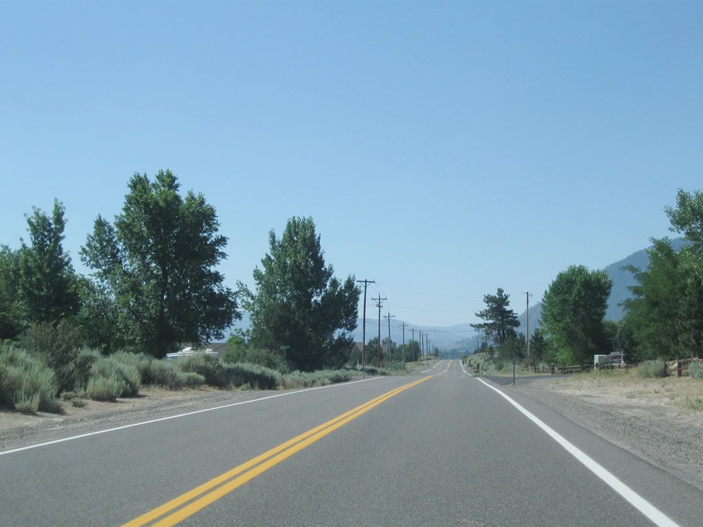
While farms dominate most of the agricultural Carson Valley, some ranches and homes are found along Nevada 206, which is more arid and further from the fertile floodplain of the Carson River. Photo taken 07/20/09. |
|
Leaving the vicinity of David Walleys Hot Springs resort, the next intersection along southbound Nevada 206/Foothill Road is with Nevada 757/Muller Lane. Nevada 757 is short route that travels east to U.S. 395 near Minden. Photo taken 07/20/09. |
|
There are no turn lanes between Nevada 206 and Nevada 757, so watch for slowing traffic preparing to turn left here. Photo taken 07/20/09. |
|
A Nevada 206 south reassurance shield is posted after the Nevada 757 intersection. Photo taken 07/20/09. |
|
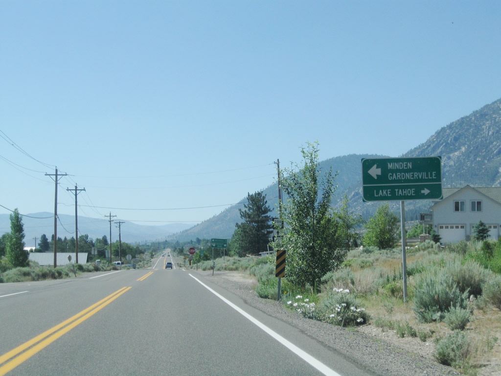
Since Nevada 757 and Nevada 206 form part of the most direct route from southbound U.S. 395 to Nevada 207/Kingsbury Grade, a Nevada 207 trailblazer is posted along Nevada 206 south. Photo taken 07/20/09. |
|
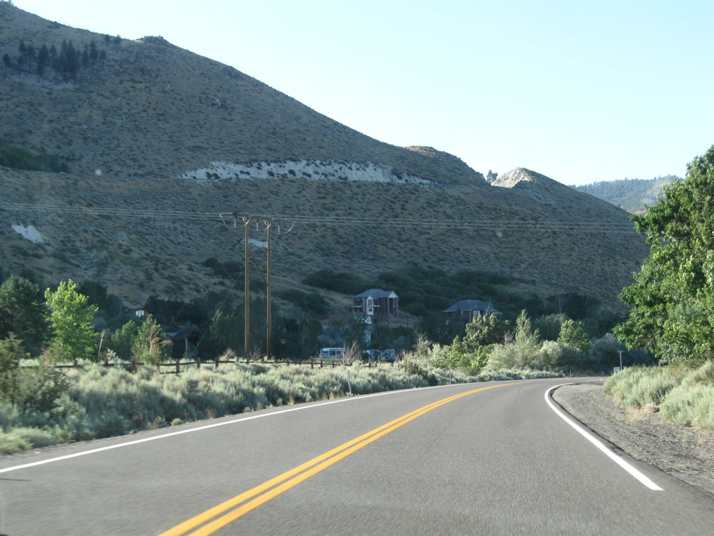
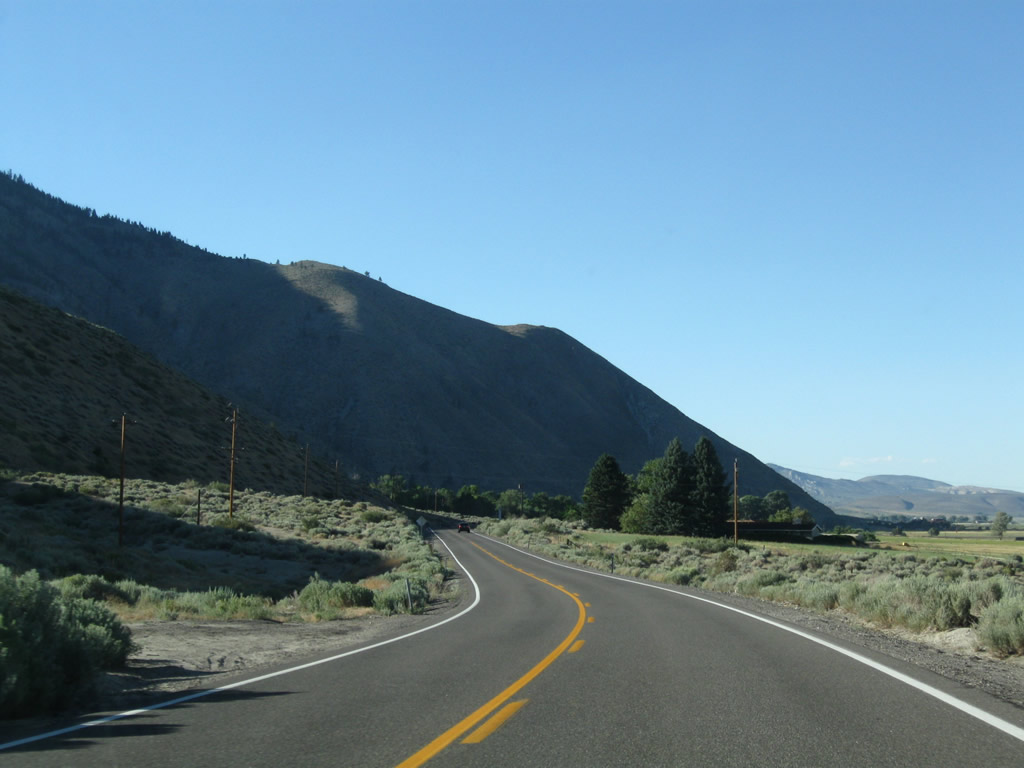
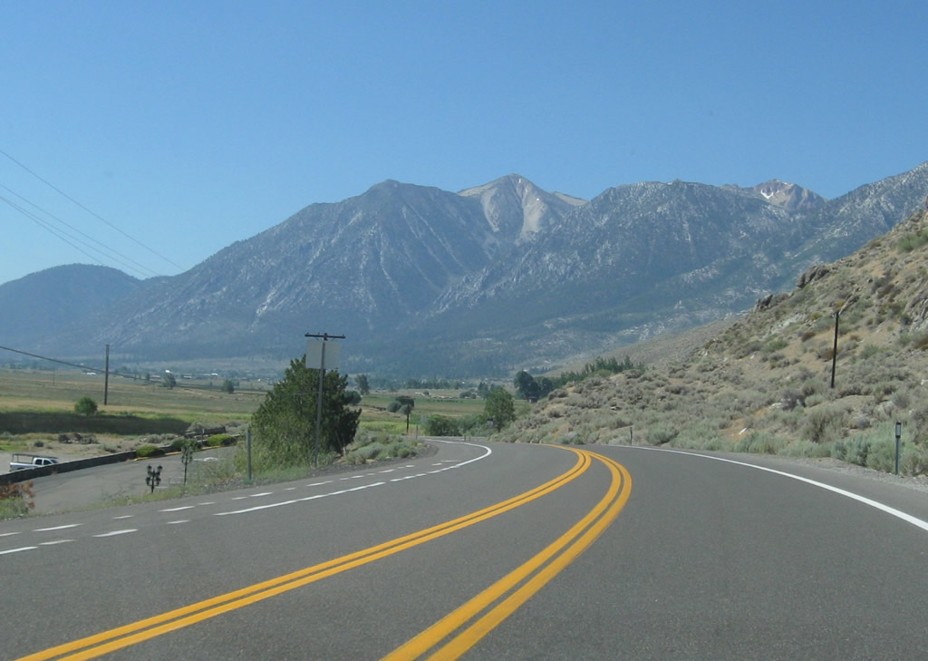
A reference marker for 8.00 miles north of Nevada 88 is posted along southbound Nevada 206 as we proceed south toward Mottsville. The state route follows Foothill Road and stays close to the edge of the Carson Range, which towers over the valley on the west side. Photo taken 07/21/09. |
|
Beautiful morning scenes such this abound in the summer. Photo taken 07/21/09. |
|
|
|
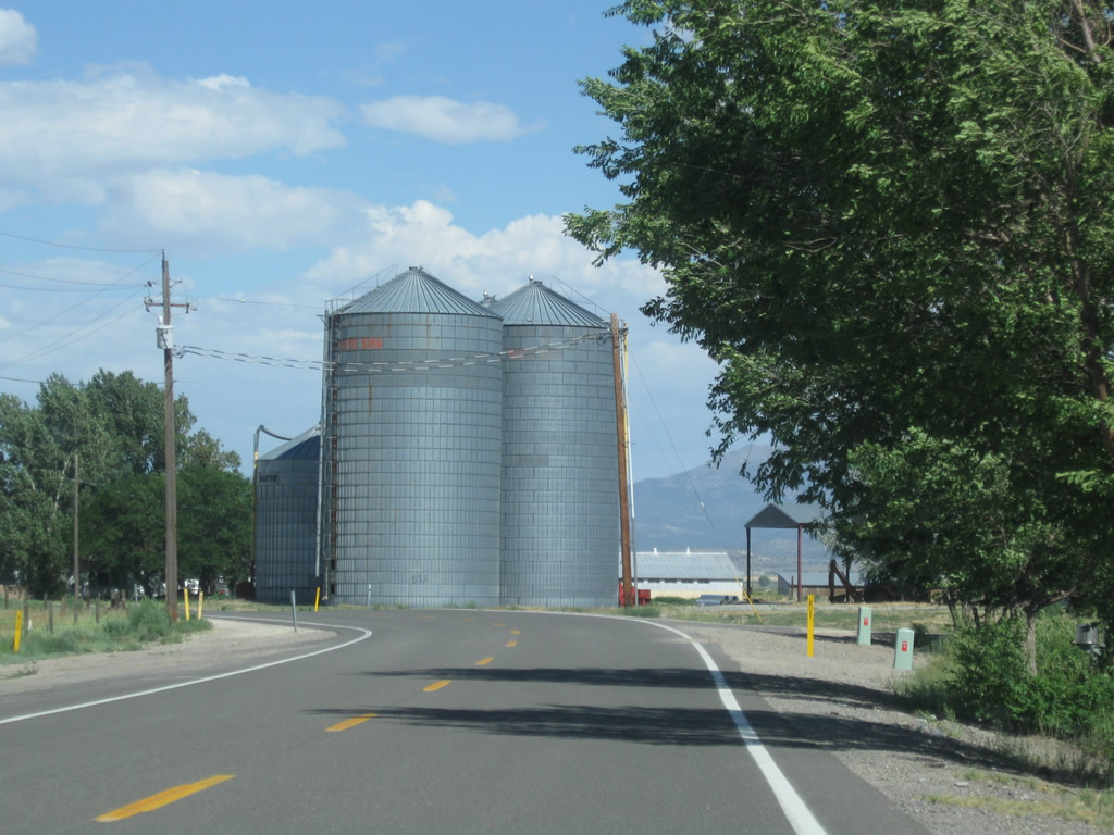
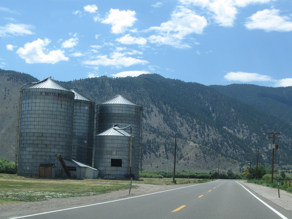
This series of photos follows Nevada 206/Foothill Road south into the unincorporated community of Mottsville, which mostly consists of large ranch homes and ranches. Photos taken 07/20/09. |
|
|
|
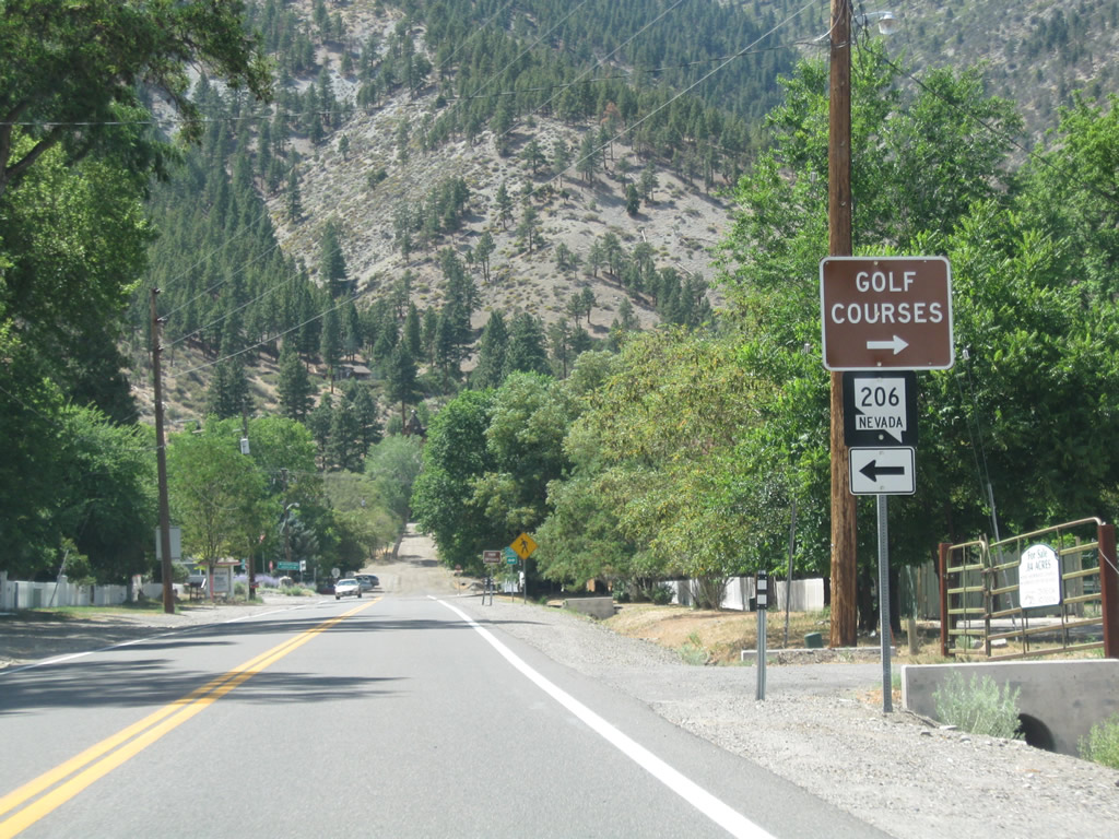
Southbound Nevada 206/Foothill Road approaches the junction with Nevada 207 in Mottsville. Nevada 207 turns west to pass over Daggett Pass via the Kingsbury Grade and is the most direct route from the Carson Valley into the Lake Tahoe Basin. Nevada 207 ends at U.S. 50 about a mile east of South Lake Tahoe. Photos taken 07/20/09. |
|
Southbound Nevada 206 meets Nevada 207. Turn right to follow Nevada 207 via Kingsbury Grade to Lake Tahoe. Turn left to follow Mottsville Lane (also known as Waterloo Lane), a county-maintained highway, east to Nevada 88 and U.S. 395 as well as Minden and Gardnerville. Eastbound Mottsville Lane is signed as To U.S. 395. Photo taken 07/21/09. |
|
A four-way stop governs the flow of traffic between Nevada 206, Nevada 207, and Mottsville Lane. Photo taken 07/21/09. |
|
Leaving Mottsville, a Nevada 206 south reassurance shield is posted after the Nevada 207 intersection. Photo taken 07/21/09. |
|
Southbound Nevada 206 approaches Centerville Lane (next left). Use Centerville Lane east to Nevada 88 and Centerville. At the Nevada 88 intersection, Centerville Lane becomes Nevada 756, a state route that proceeds east and then north to Gardnerville, ending at U.S. 395 in downtown Gardnerville. Photo taken 07/21/09. |
|
Due to the proximity of the foothills and national forest lands, wildlife may cross the highway at any time. Photo taken 07/21/09. |
|
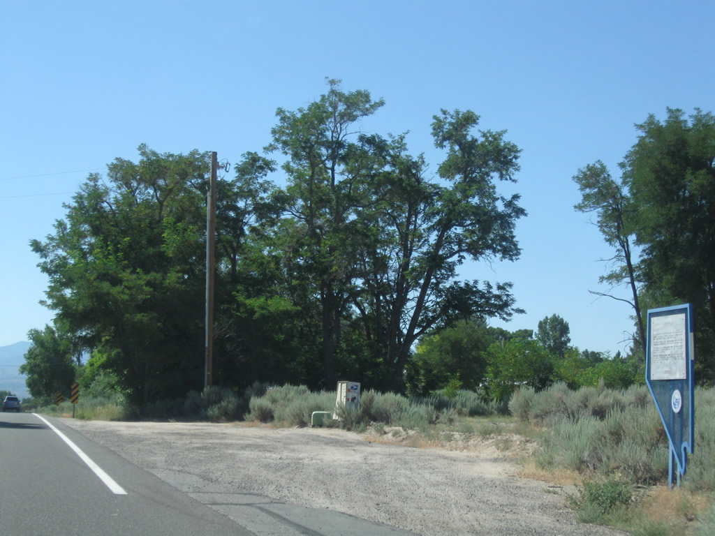
A roadside historical marker welcomes motorists to the site of Sheridan. Photo taken 07/21/09. |
|
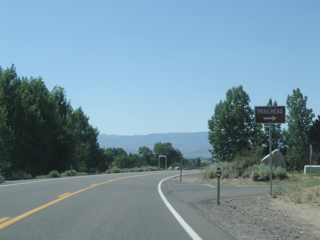
Southbound Nevada 206 approaches the Jobs Peak Ranch Trailhead (right turn). Photo taken 07/21/09. |
|
|
|
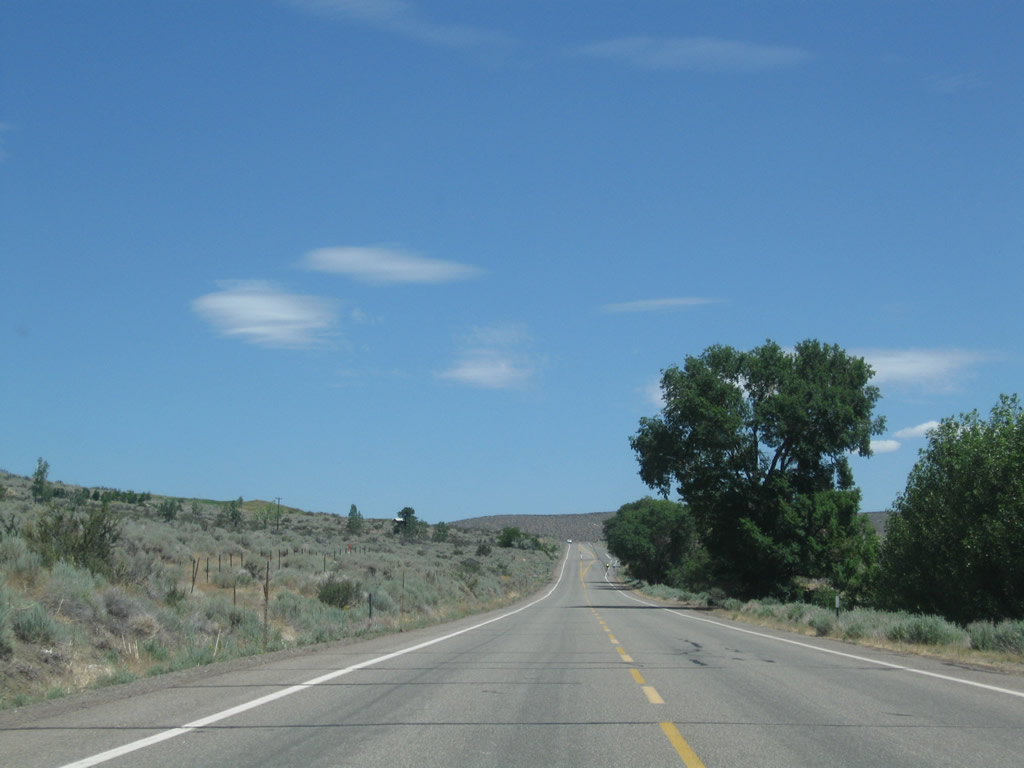
This series of photos follows Nevada 206/Foothill Road south between Sheridan and the southern terminus at Nevada 88. The state route generally travels south or southeast until curving east for its junction with Nevada 88. Photos taken 07/20/09. |
|
|
|
|
After curving east, Nevada 206 changes from Foothill Road to Fairview Lane. Ahead, Nevada 206 will travel due east until ending at north-south Nevada 88. Photo taken 07/20/09. |
|
An end shield is posted for Nevada 206 south. Ahead, Nevada 88 travels north to Minden or south to Woodfords and Markleeville. Photo taken 07/20/09. |
|
A destination sign points the way from Nevada 206: a left follows Nevada 88 north to Minden and Gardnerville, while a right follows Nevada 88 and California 88 southwest to Woodfords and Markleeville. Photo taken 07/20/09. |
| Former Nevada 206/Jacks Valley Road north |
|---|
|
Until 1996, Nevada 206 continued north of Genoa Lane along Jacks Valley Road. When Jacks Valley Road was relinguished to Douglas County, Nevada 206 was rerouted onto Genoa Lane east of the town of Genoa. This view looks north on Jacks Valley Road in Genoa after the Genoa Lane intersection. Photo taken 07/20/09. |
|
An entrance to the Mormon Station State Park is located at the northeast corner of the intersection between Nevada 206/Genoa Lane and Jacks Valley Road. Photo taken 07/19/09. |
|
For the first mile, Jacks Valley Road passes through the northern portion of the town of Genoa. Photo taken 07/20/09. |
|
Development becomes less common as Jacks Valley Road leaves Genoa and proceeds north. Photo taken 07/20/09. |
|
Jacks Valley Road will continue north through northwestern Carson Valley, then turn east to join U.S. 395 south of Carson City. Photo taken 07/20/09. |
|
This sign indicates that Jacks Valley Road is part of the California Trail Auto Tour Route. Photo taken 07/20/09. |
|
More development appears along Jacks Valley Road as we pass through northern Carson Valley and get closer to Carson City. Photo taken 07/20/09. |
|
Turning east, Jacks Valley Road will meet U.S. 395 in a few miles. Photo taken 07/20/09. |
|
Northbound Jacks Valley Road meet U.S. 395, which travels south to Minden-Gardnerville and north to Carson City and Reno. Photo taken 07/20/09. |
|
Jacks Valley Road meets U.S. 395 at this traffic signal. This was the former northern terminus of Nevada 206 (which was retracted to the Genoa Lane intersection). Photo taken 07/20/09. |
| Nevada 206 scenes |
|---|
|
Genoa Town Park is located on the south side of Genoa Lane just west of the Jacks Valley Road and Nevada 206 intersection in downtown Genoa. Photo taken 07/20/09. |
|
|
|
This series of photos shows Mormon Station State Park, including the entrance from Jacks Valley Road and grounds within the stockade. Photos taken 07/19/09. |
|
|
|
Page Updated January 31, 2010.