Nevada 207 is the Kingsbury Grade, which connects the Carson Valley with the Lake Tahoe Basin. The state route begins at U.S. 50 near Stateline/South Lake Tahoe and proceeds east over Daggett Pass to meet Nevada 206 in Mottsville in the Carson Valley. A county-maintained road (Mottsville/Waterloo Lane) continues east from Nevada 206 to Nevada 88 and Nevada 756 near Gardnerville.
| Nevada 207 east |
|---|
|
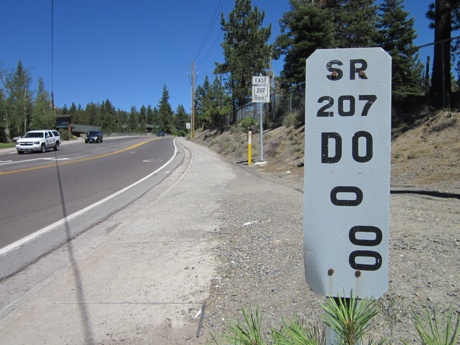
The zero milepost for Nevada 207 is located next to the U.S. 50 traffic signal. Photo taken 07/31/12. |
|
|
|
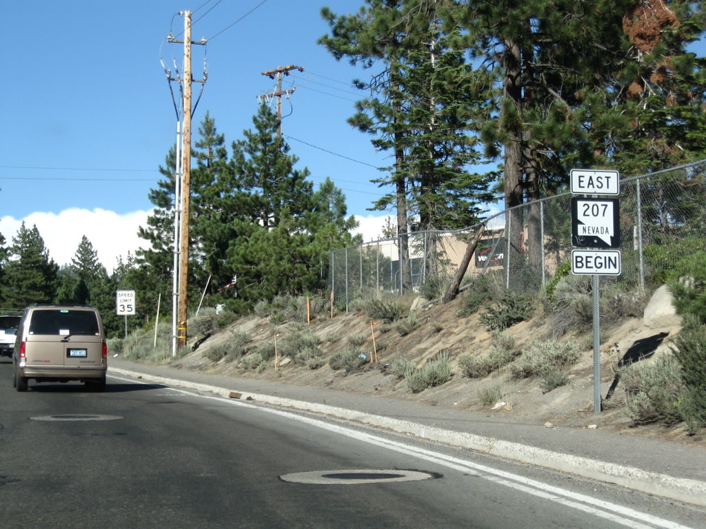
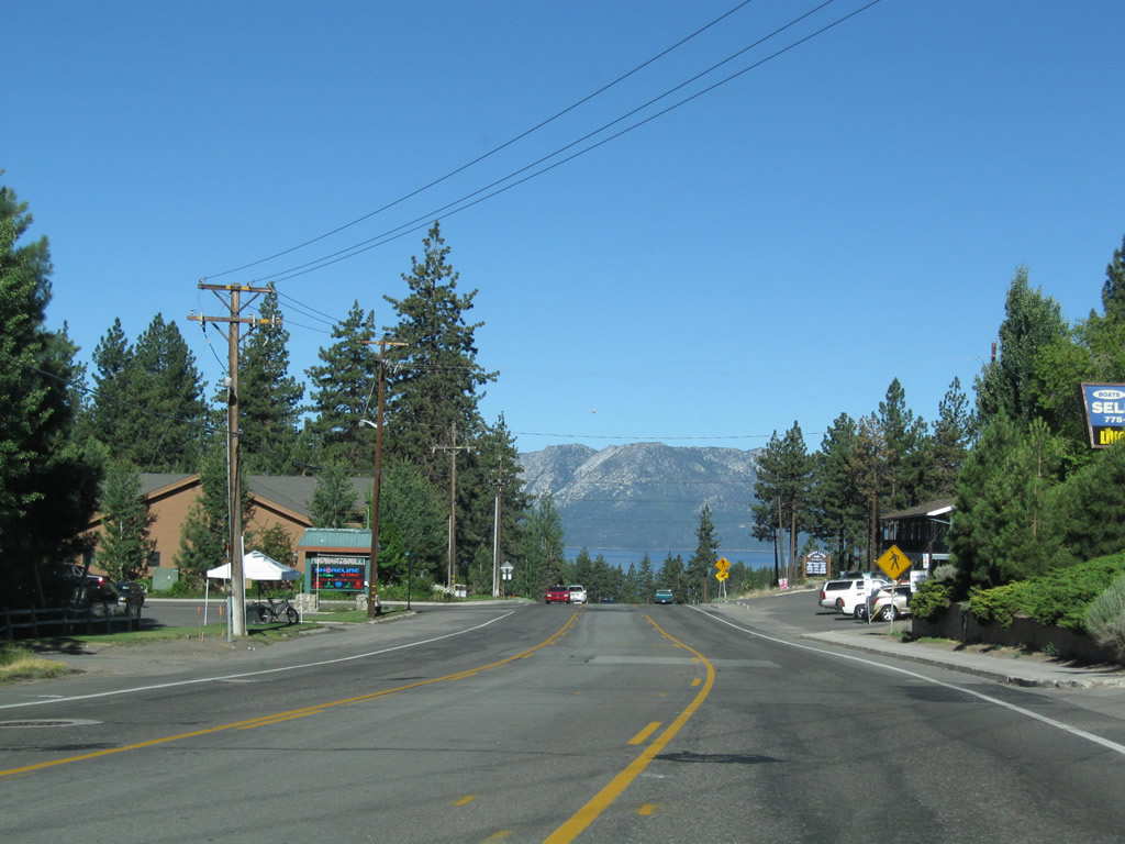
Upon leaving the U.S. 50 intersection in the unincorporated community of Kingsbury, a begin Nevada 207 east shield is posted. From here, it is all uphill to Daggett Pass. Photos taken 07/24/09 and 07/31/12. |
|
Kingsbury is an unincorporated community found along Nevada 207 leading toward Tahoe Ridge and Daggett Pass. A small commercial plaza is located along Nevada 207 on the way up the hill. Photo taken 07/24/09. |
|
|
|
|
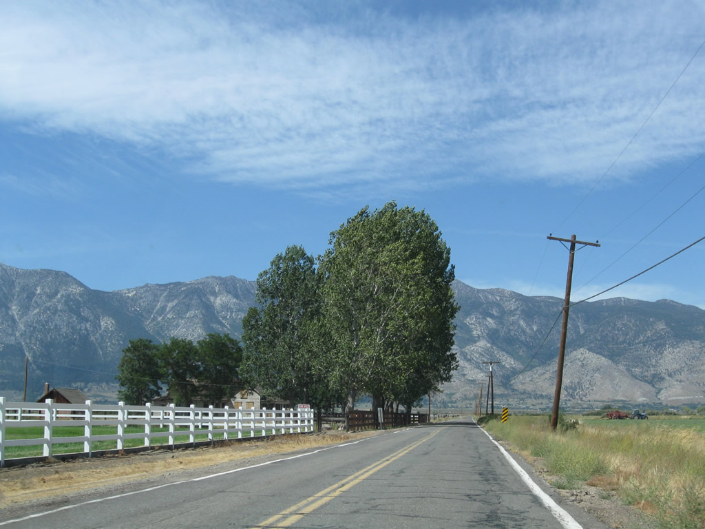
Continuing uphill, year-round residences and vacation homes are on either side of Nevada 207. Some of the curves require a reduction in speed, but this is generally an easy route to Daggett Pass and Tahoe Ridge. Photos taken 07/24/09. |
|
|
|
|
|
|
|
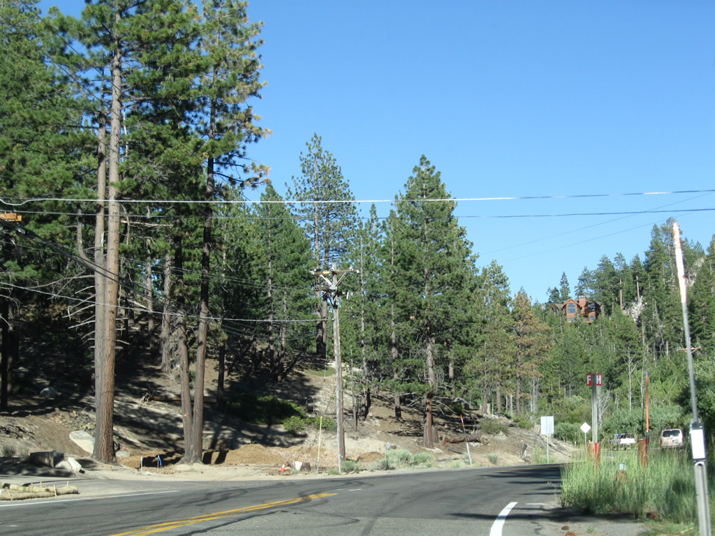
Approaching Daggett Pass and Tahoe Ridge, eastbound Nevada 207 passes the turnoff to Brautovich Park and reaches the intersection with Tramway Drive to Heavenly North ski area. Photos taken 07/24/09. |
|
|
|
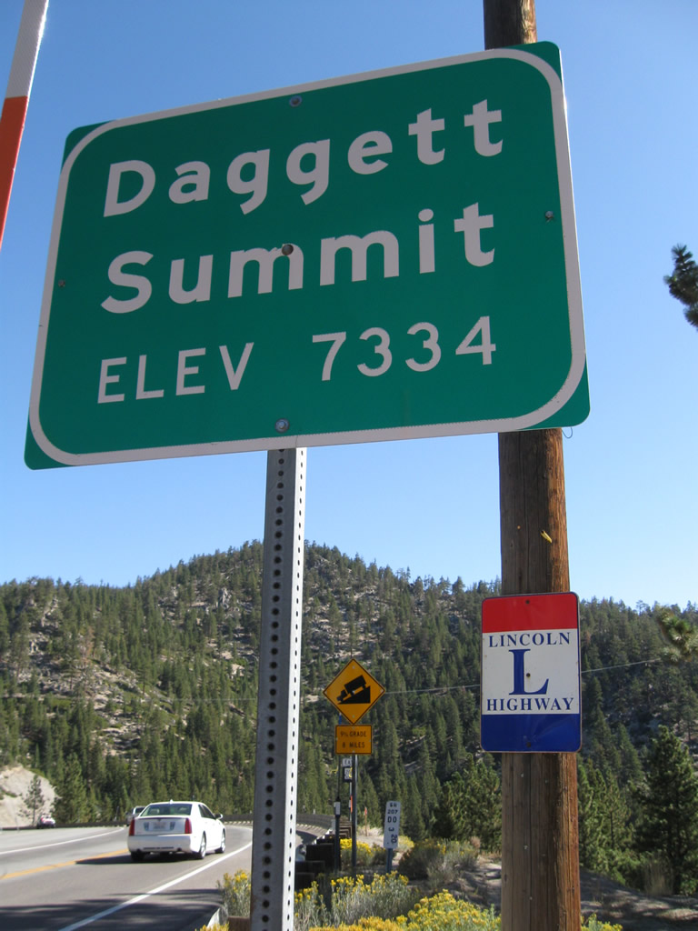
Nevada 207 reaches Daggett Pass, elevation 7,334 feet above sea level. This sign is posted after the Tramway Drive intersection. Adjacent to the Daggett Pass sign is a Lincoln Highway trailblazer for those following an early alignment of the famed historic highway. Photos taken 07/24/09 and 09/07/09. |
|
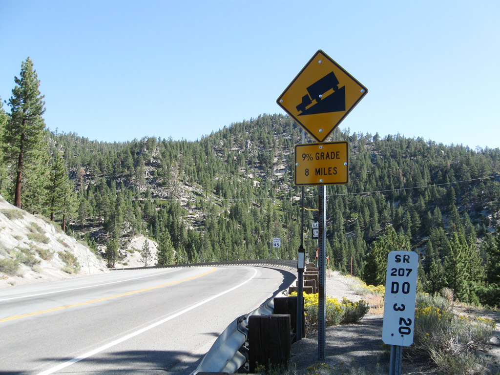
Nevada 207 begins its long journey downhill from Daggett Pass and Tahoe Ridge to the Carson Valley below. Due to the descent and relatively short distance in which a nearly 2,500-foot decrease in elevation is achieved, Nevada 207 sees a nine percent grade going downhill. Photo taken 09/07/09. |
|
A Nevada 207 east reassurance shield. Photo taken 09/07/09. |
|
|
|
|
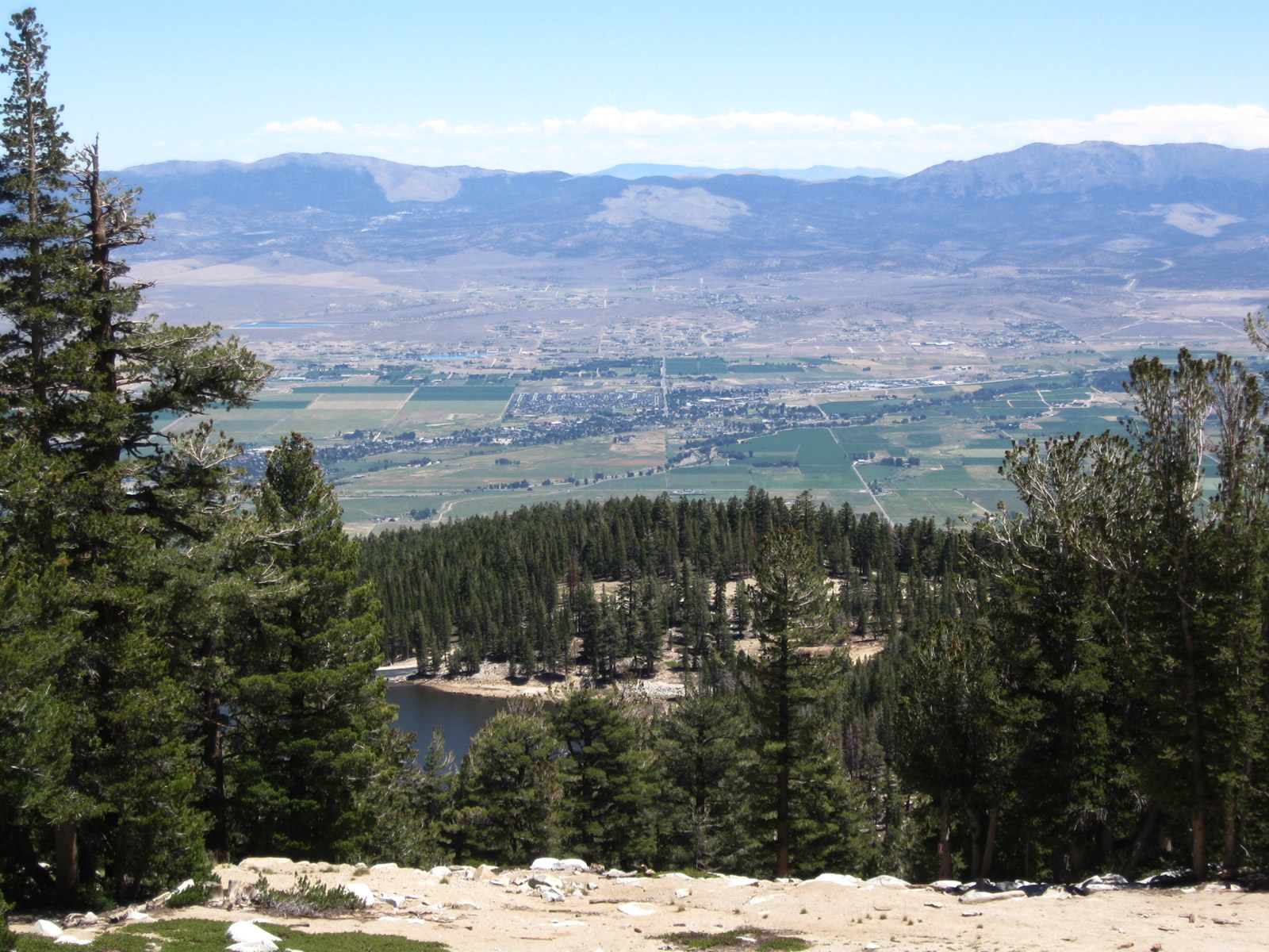
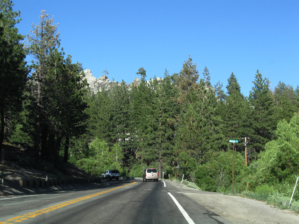
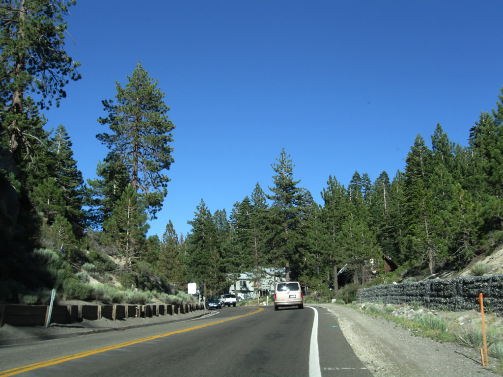
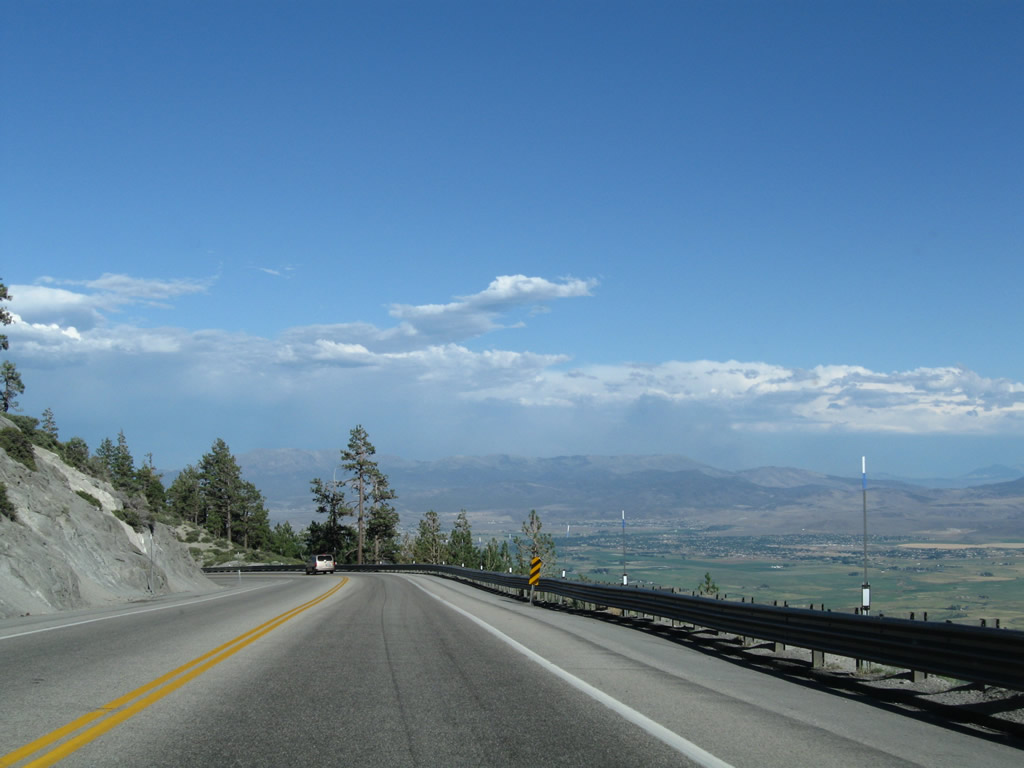
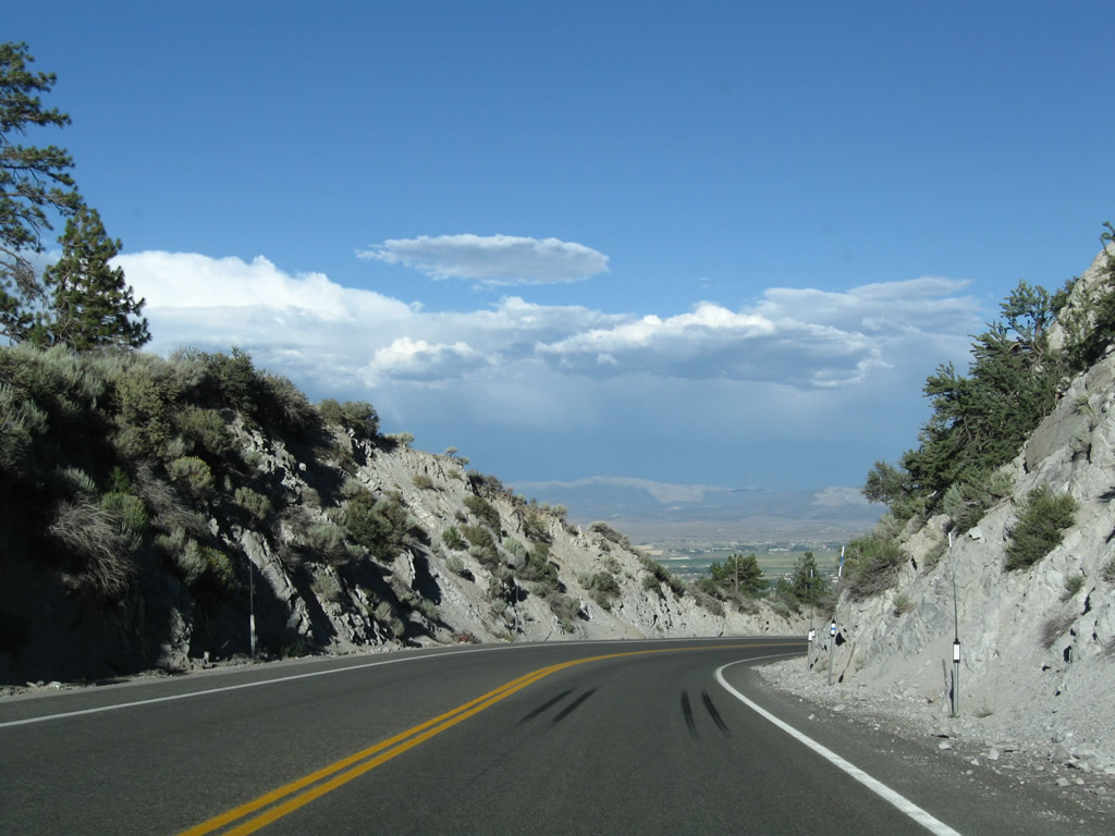
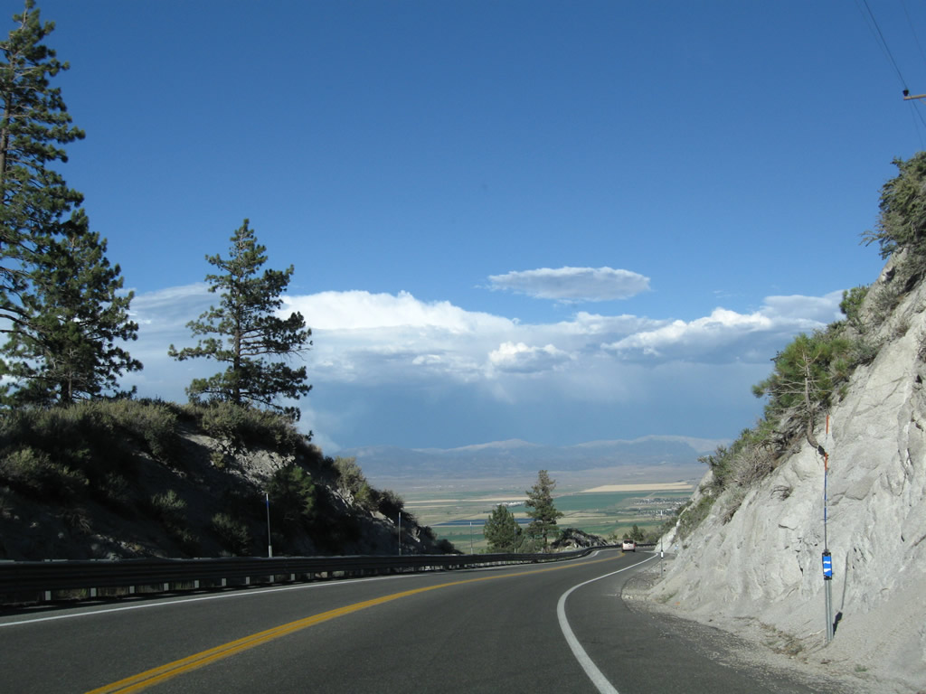
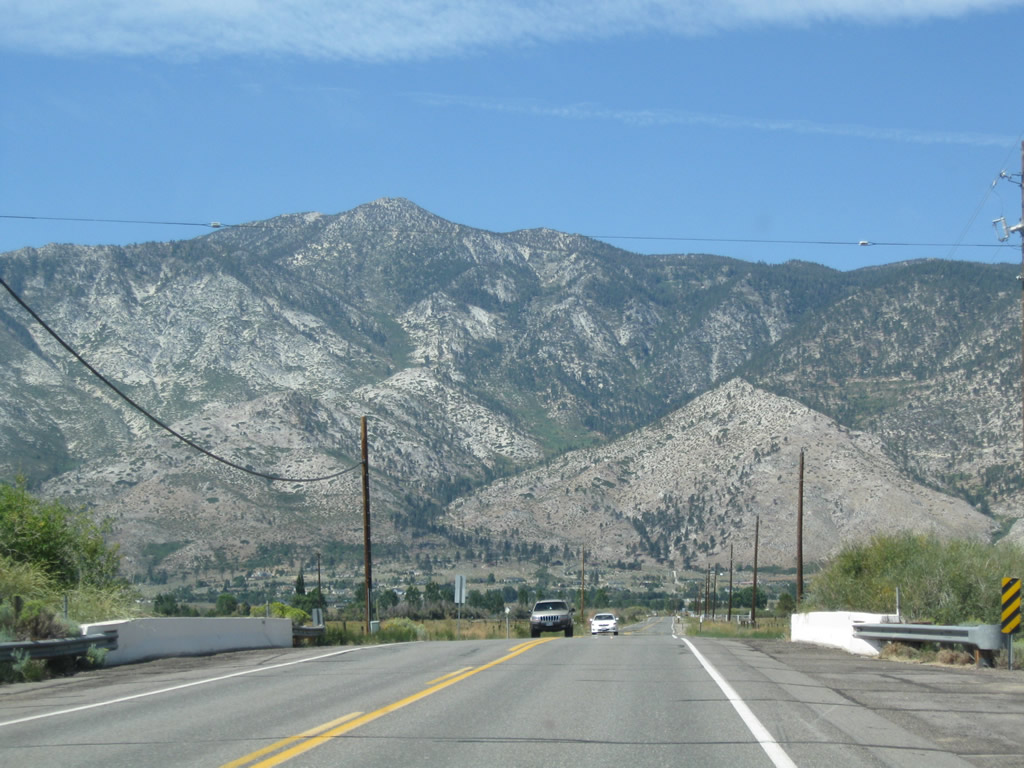
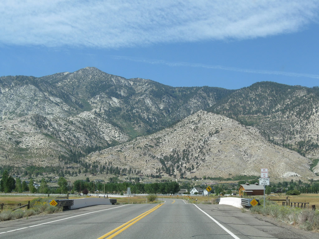
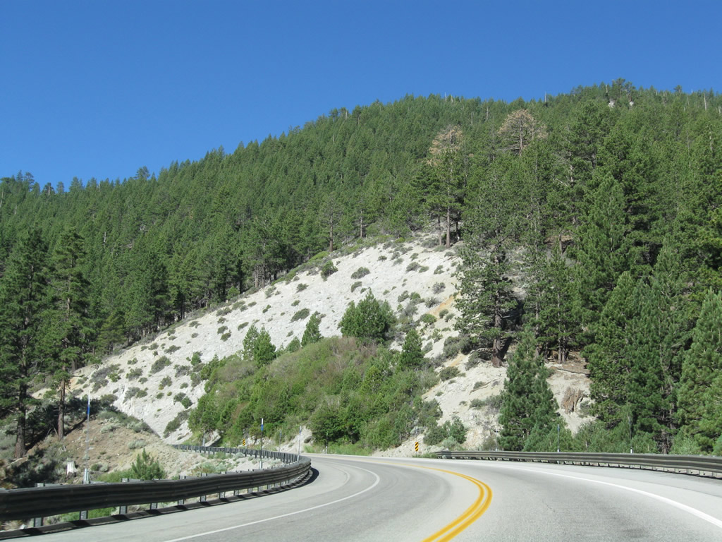
This series of photos follows Nevada 207 as it travels east from Daggett Pass and Tahoe Ridge down to the Carson Valley near Mottsville. The state route carries two lanes (one in each direction) with no climbing lanes. Watch for slow traffic on the descent; turnouts are available for passing. The July 2009 photos show a brewing thunderstorm gathering strength over the Pine Nut Mountains on the east side of the Carson Valley. Photos taken 07/24/09 and 09/07/09. |
|
|
|
|
|
|
|
|
|
|
|
|
|
|
|
|
|
|
|
|
|
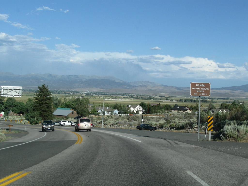
Coming to the bottom of the Kingsbury Grade and entering the unincorporated community of Mottsville, eastbound Nevada 207 approaches the junction with Nevada 206 (Foothill Road). At the upcoming intersection, turn left on Nevada 206 north to Walleys Hot Springs and Genoa or right on Nevada 206 south to Markleeville. Photo taken 07/24/09. |
|
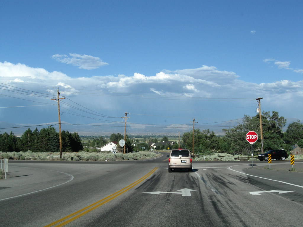
An end Nevada 207 shield follows. The intersection is currently a four-way stop. Photo taken 07/24/09. |
|
To U.S. 395 and Minden-Gardnerville, continue straight ahead onto Mottsville Lane east. The county-maintained highway travels east across the valley to meet Nevada 88 south of Minden, then changes into Waterloo Lane to end at Nevada 756 south of Gardnerville. Photo taken 07/24/09. |
|
To the north along Nevada 207/Foothill Road is the town of Genoa, Nevada's earliest recorded settlement. The downtown area is a historic district and features Mormon Station State Historic Park, Genoa Town Park, and several museums. Photo taken 07/24/09. |
|
Nevada 207 ends at this four-way stop. Photo taken 07/24/09. |
|
|
A TO U.S. 395 trailblazer shield is posted at this intersection, advising traffic to use Mottsville Lane east to U.S. 395 at Minden. Photos taken 07/24/09. |
| Mottsville Lane east |
|---|
|
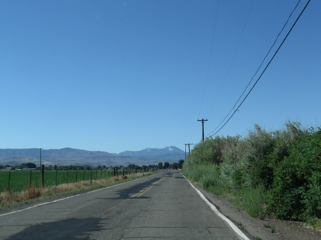
Between Nevada 206 and Nevada 88, Mottsville Lane is the county-maintained highway that extends east from the end of Nevada 207 at the base of Kingsbury Grade. This U.S. 395 trailblazer shield and guide sign is posted along eastbound Mottsville Lane at the intersection with Nevada 88. Ahead, Waterloo Lane continues for the final distance to Nevada 756 south of Gardnerville. Photos taken 07/25/09. |
| Waterloo Lane east |
|---|
|
Passing between two 90-degree-angle turns along Waterloo Lane between Nevada 88 and Nevada 756, Waterloo Lane sees some narrow segments along this rural country road. Photos taken 07/25/09. |
|
Like most highways of the Carson Valley, Waterloo Lane wanders between ranches, farms, and wetlands. Photos taken 07/25/09. |
| Waterloo Lane west |
|---|
|
|
|
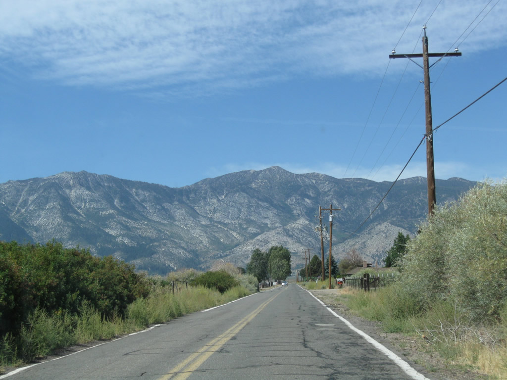
Upon leaving the intersection with Nevada 756/Centerville Lane south of downtown Gardnerville, Waterloo Lane travels west to Nevada 88 in the Carson Valley. This narrow, two-lane highway does not meet modern state route standards yet is part of the fastest route from U.S. 395 to Nevada 207 over Kingsbury Grade. Like many highways that cross the Carson Valley, the route serves local ranches and farms as well as provide quick routes to points beyond the valley. Photos taken 09/05/09. |
|
|
|
|
|
|
| Mottsville Lane west |
|---|
|
|
|
After the intersection with Nevada 88, Waterloo Lane changes into Mottsville Lane. Still a locally maintained highway, Mottsville Lane aims almost due west to meet Nevada 206 and Nevada 207 in the unincorporated community of Mottsville. After the intersection with Nevada 206, Mottsville Lane will change into Nevada 207 west. Photos taken 09/05/09. |
|
|
|
|
|
|
| Nevada 207 west |
|---|
|
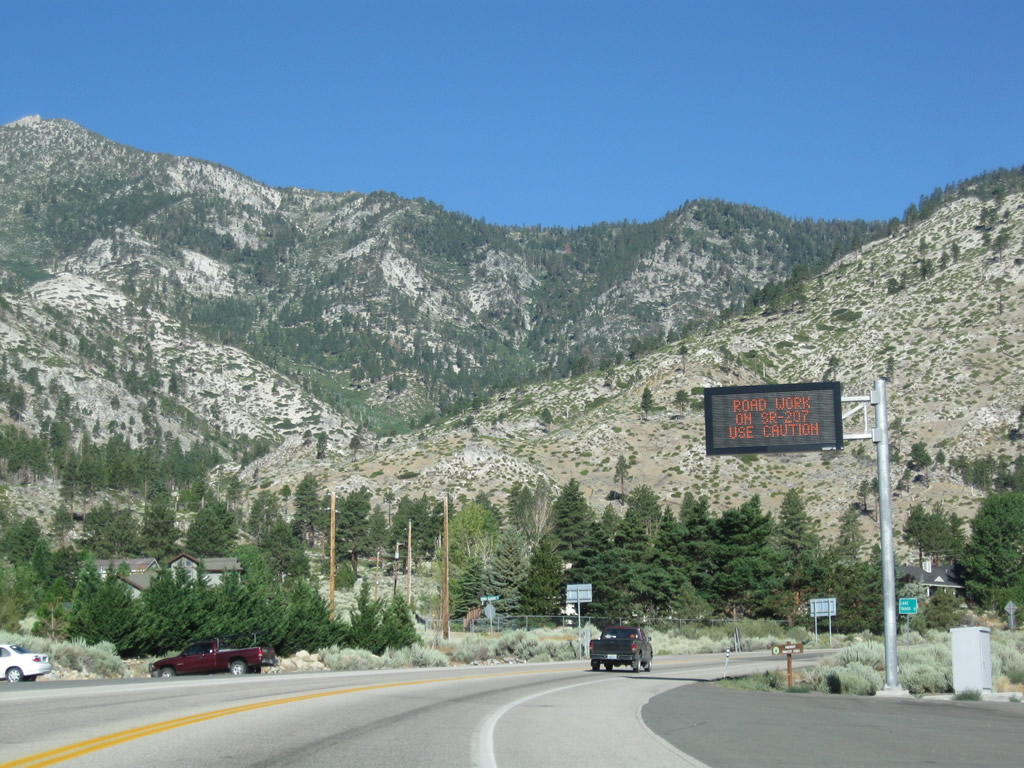
Upon leaving the intersection with Nevada 206/Foothill Road, westbound Nevada 207/Kingsbury Grade passes under a variable message sign to warn of any traffic, weather conditions, or construction activities that might cause delays over Daggett Pass. Photo taken 07/21/09. |
|
The main purpose of Nevada 207/Kingsbury Grade is to connect the Carson Valley with Lake Tahoe via Daggett Pass. A mileage sign provides the distance from the Nevada 206 junction west to the South Lake Tahoe-Stateline area, about 11 miles from here. Photo taken 07/21/09. |
|
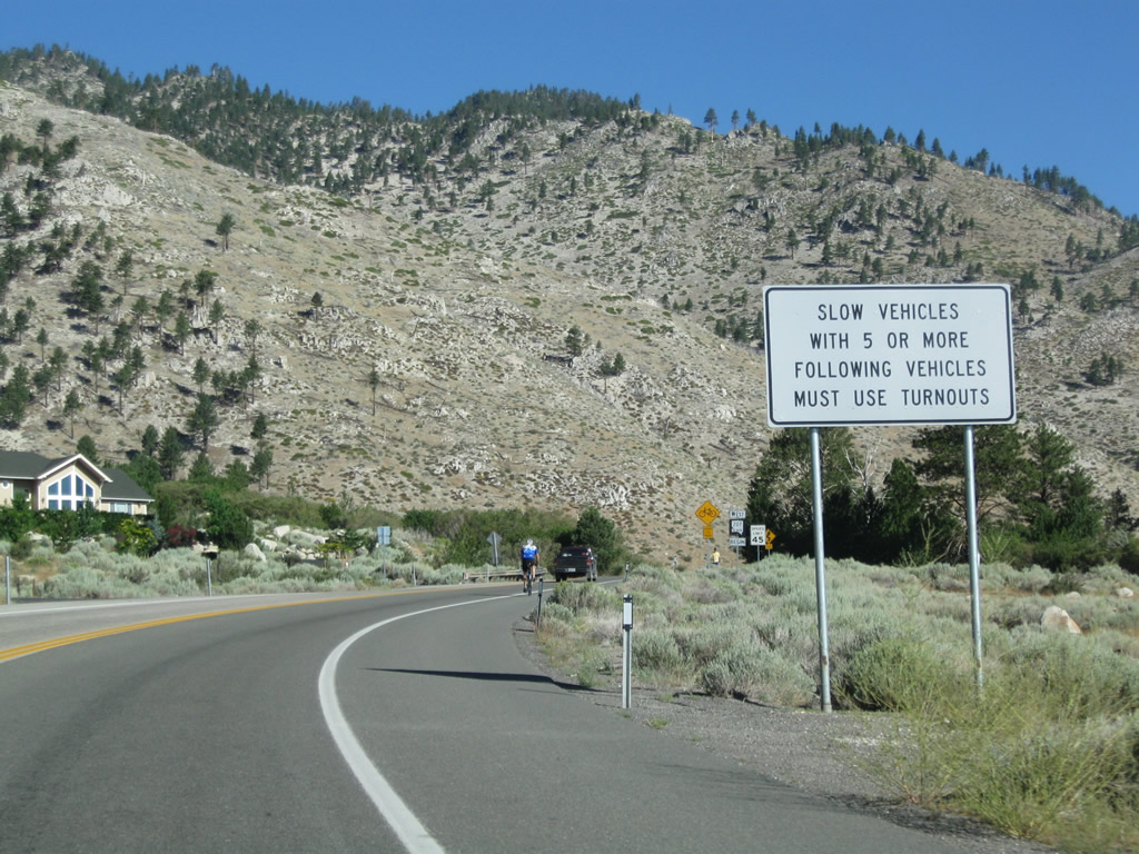
Slower vehicles on Nevada 207/Kingsbury Grade must use turnouts when followed by five or more vehicles. Photo taken 07/21/09. |
|
A begin Nevada 207 west reassurance shield is posted shortly thereafter. From here, it is all uphill on the Kingsbury Grade until Daggett Pass. Photo taken 07/22/09. |
|
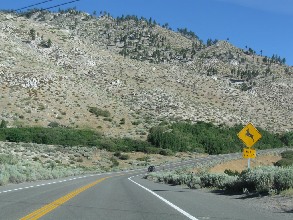
Nevada 207/Kingsbury Grade soon enters the Humboldt-Toiyabe National Forest, and deer and other animals may be found along the roadway, especially at dawn and dusk. Photo taken 07/21/09. |
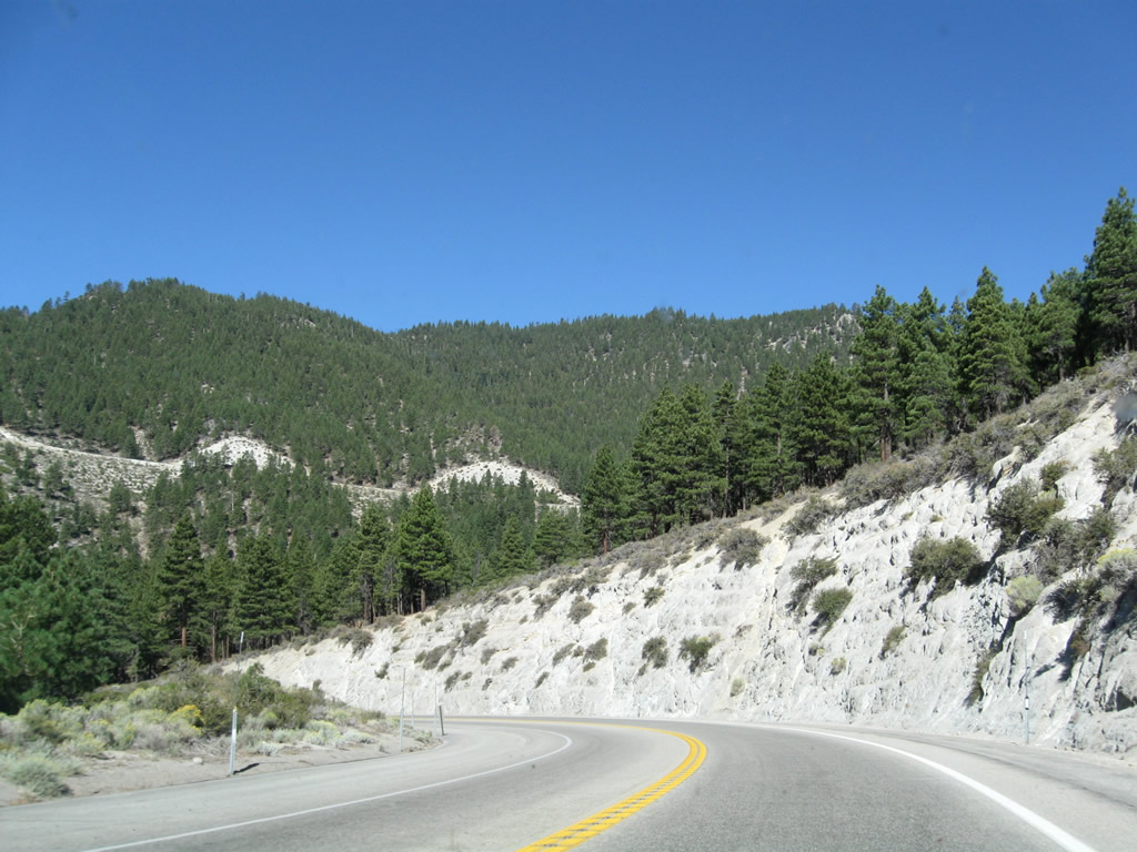
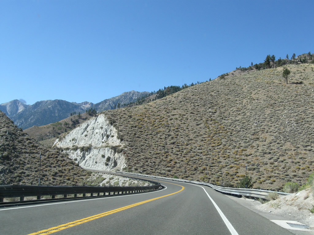
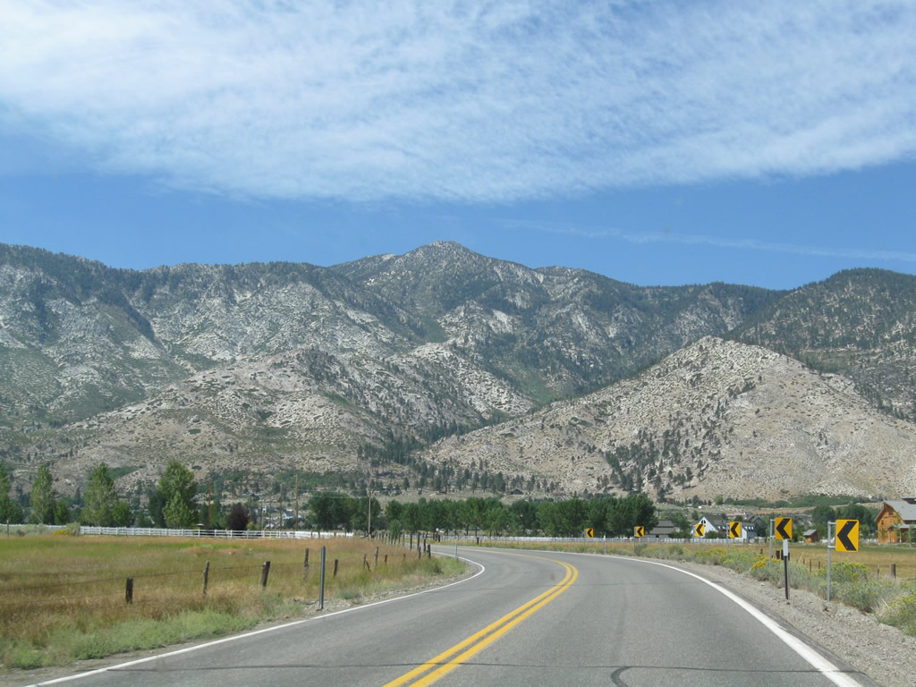
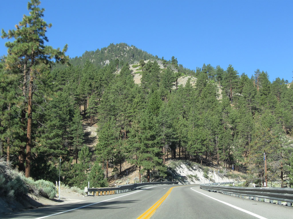
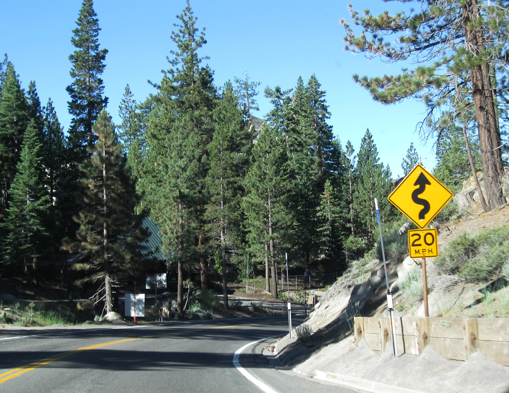
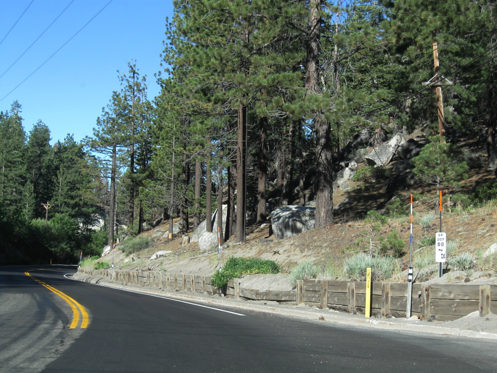
| Nevada 207/Kingsbury Grade ascends the Carson Range en route to Daggett Pass. The climb is filled with sweeping grades, magnificent vistas, and slow moving vehicles. Proceed with caution, especially during inclement weather. Along the way are turnouts and wide shoulders available for parking to look down on the Carson Valley and up at Tahoe Ridge, the resort development on top of the mountain above Daggett Pass. The following pictures follow westbound Nevada 207 up the grade, in sequence from the bottom to near the top. Photos taken 07/21/09. |
|
|
|
|
|
|
|
|
|
|
|
|
|
|
|
|
|
|
|
|
|
|
|
|
|
|
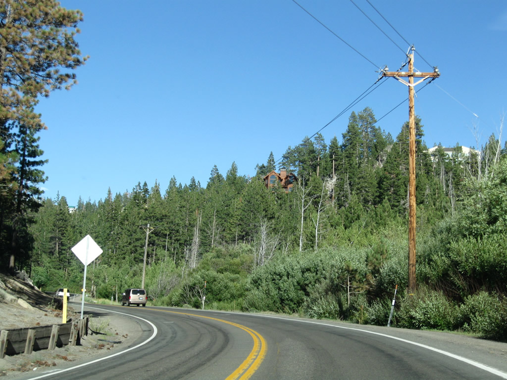
Ascending past 7,000 feet above sea level, Nevada 207/Kingsbury Grade approaches Heavenly North and Tahoe Ridge. A turnoff to the resort development lies ahead. Photo taken 07/21/09. |
|
The next left from Nevada 207/Kingsbury Grade connects to Tramway Drive to Heavenly North and Tahoe Ridge. Photo taken 07/21/09. |
|
|
Nevada 207/Kingsbury Grade meets Tramway Drive at the top of Daggett Pass (elevation 7,334 feet above sea level). From here, Nevada 207 descends into Kingsbury, an unincorporated community of Douglas County, and meets U.S. 50 near the state line. A reference marker indicating the mileage remaining to the end at U.S. 50 is posted at this intersection. Photos taken 07/21/09 and 07/22/09. |
|
|
|
|
Nevada 207/Kingsbury Grade west begins its descent from Daggett Pass, Tahoe Ridge, and Heavenly North toward Kingsbury and Lake Tahoe. Photos taken 07/21/09 and 07/22/09. |
|
|
|
|
|
|
|
|
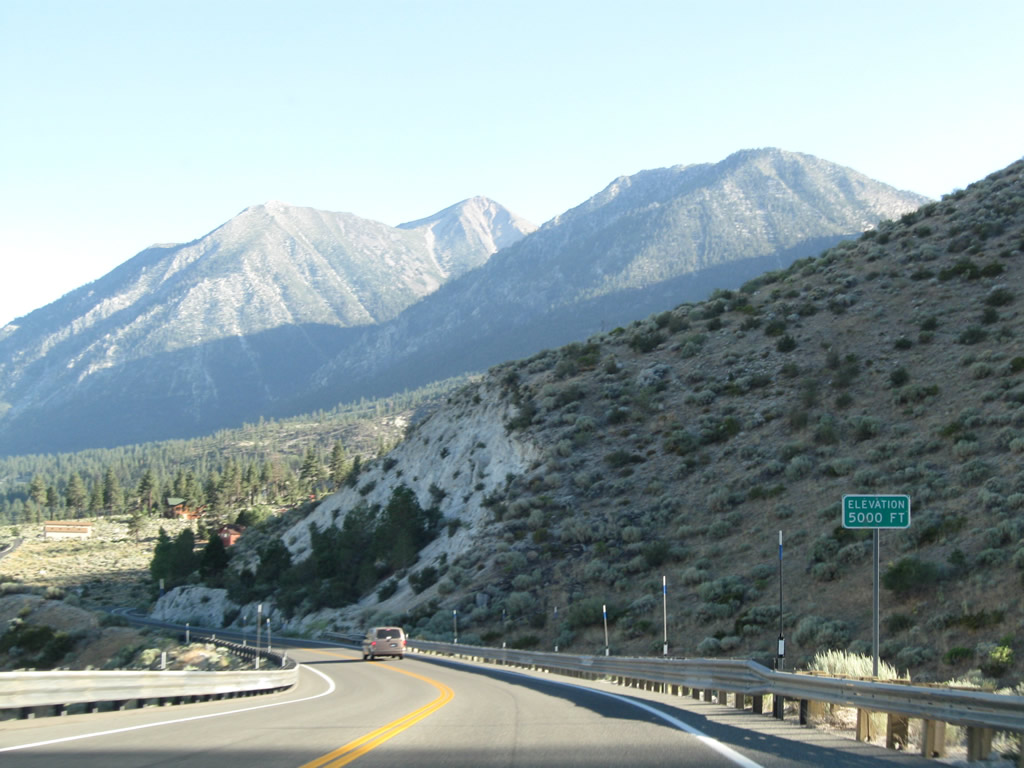
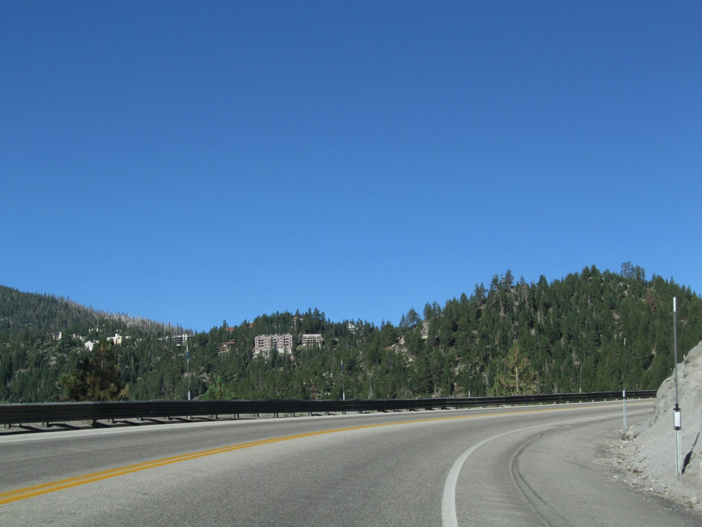
Entering the unincorporated community of Kingsbury, Nevada 207 sees more development along both sides of the state route. Lake Tahoe briefly comes into view, but generally it is not clearly visible from Nevada 207. Due to the steep descent, watch your speed coming into Kingsbury. Photos taken 07/21/09 and 07/22/09. |
|
|
|
|
|
|
Westbound Nevada 207 approaches its junction with U.S. 50 at the bottom of the Kingsbury Grade. At the traffic signal, turn left to follow U.S. 50 west to Stateline, South Lake Tahoe, and all points west via U.S. 50 or north via California 89, including Emerald Bay. Turn right to follow U.S. 50 northeast along the shore of Lake Tahoe to Zephyr Cove, Cave Rock, Lake Tahoe Nevada State Park, Spooner Junction, and Incline Village (via Nevada 28 north). Photos taken 07/21/09 and 07/31/12. |
|
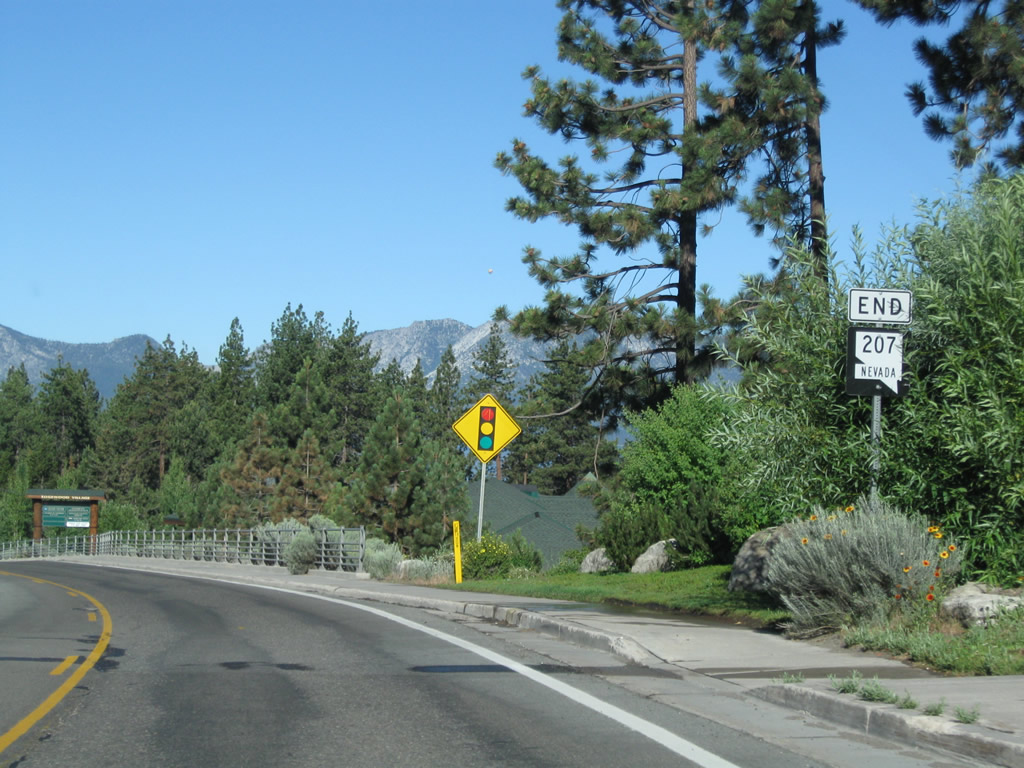
An END Nevada 207 shield assembly was posted prior to the traffic signal intersection with U.S. 50; it was moved to the U.S. 50 intersection by 2012 (see below). Photo taken 07/21/09. |
|
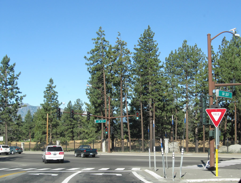
Westbound Nevada 207 meets U.S. 50 at this traffic signal. Photo taken 07/21/09. |
|
A new end Nevada 207 route marker was added by 2012 at a location closer to the U.S. 50 intersection. Note the use of an black-line outline on white shield rather than the traditional white state outline on a black solid rectangular shield. Photo taken 07/31/12. |
|
The zero milepost for Nevada 207 is located at the U.S. 50 intersection. Photo taken 07/31/12. |
Page Updated July 31, 2012.