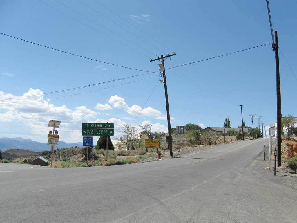
Nevada 341 connects U.S. 50 east of Carson City with Virginia City, then travels to Mt. Rose Junction (ending at U.S. 395 and Nevada 431). A section of old alignment via Silver City is designated as Nevada 342.
| Nevada 341/Comstock Highway north |
|---|
|
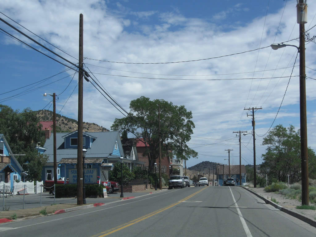
Leaving the intersection with U.S. 50 midway between Carson City and Dayton, Nevada 341/Comstock Highway begins its northbound journey toward Virginia City. A zero milepost is referenced at the U.S. 50 and Nevada 341 intersection in Lyon County. Photo taken 07/23/09. |
|
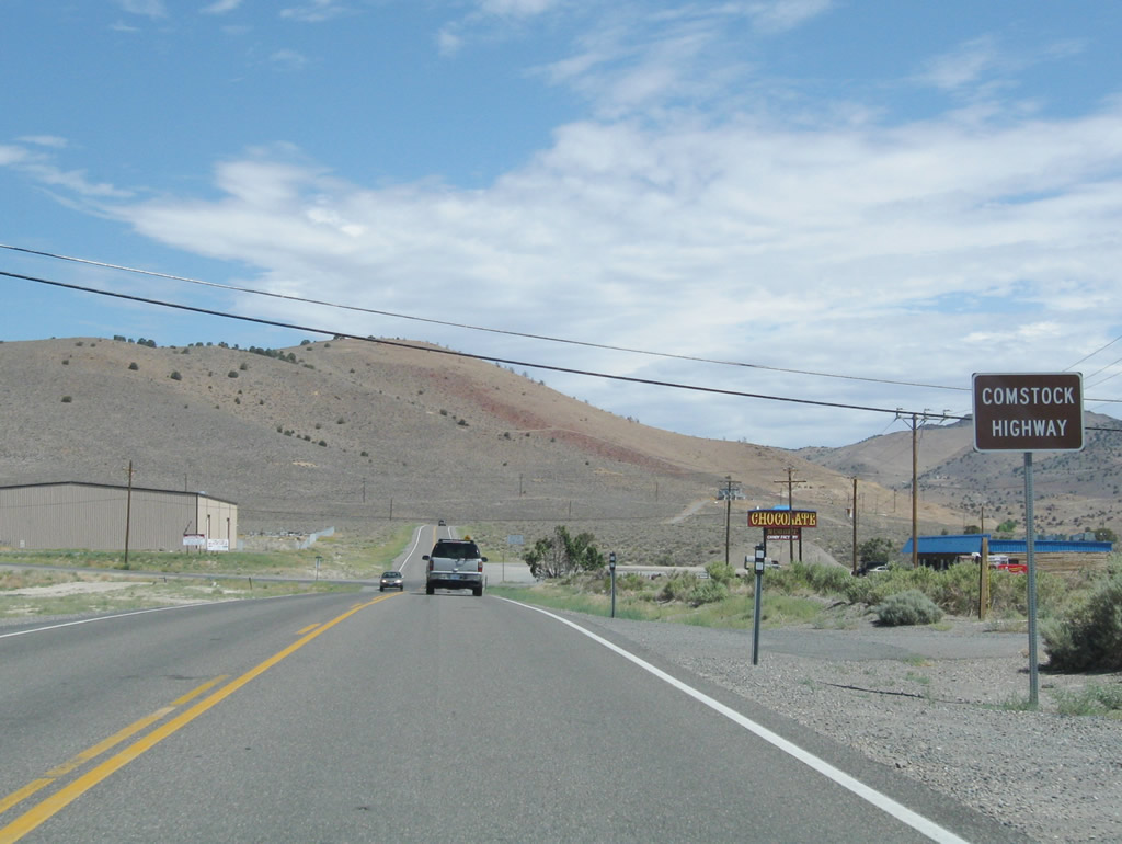
This mileage sign along Nevada 341 (Comstock Highway) north provides the distance to Silver City (four miles), Gold Hill (six miles), and Virginia City (eight miles). Photo taken 07/23/09. |
|
Nevada 341 is known as the Comstock Highway in honor of the Comstock Lode. The lode, which was one of the largest deposits of silver in the United States, was first discovered in 1859. The lode is primarily under Virginia City and Mount Davidson. Photo taken 07/23/09. |
|
|
|
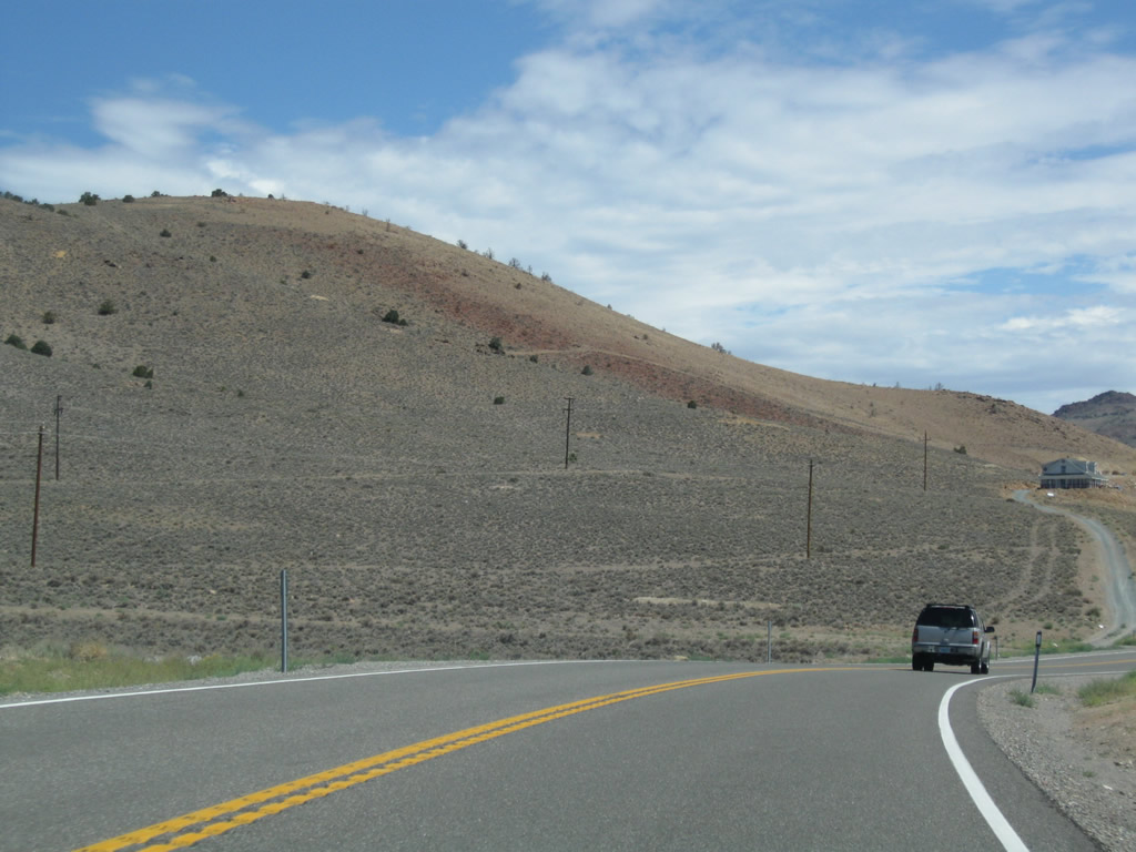
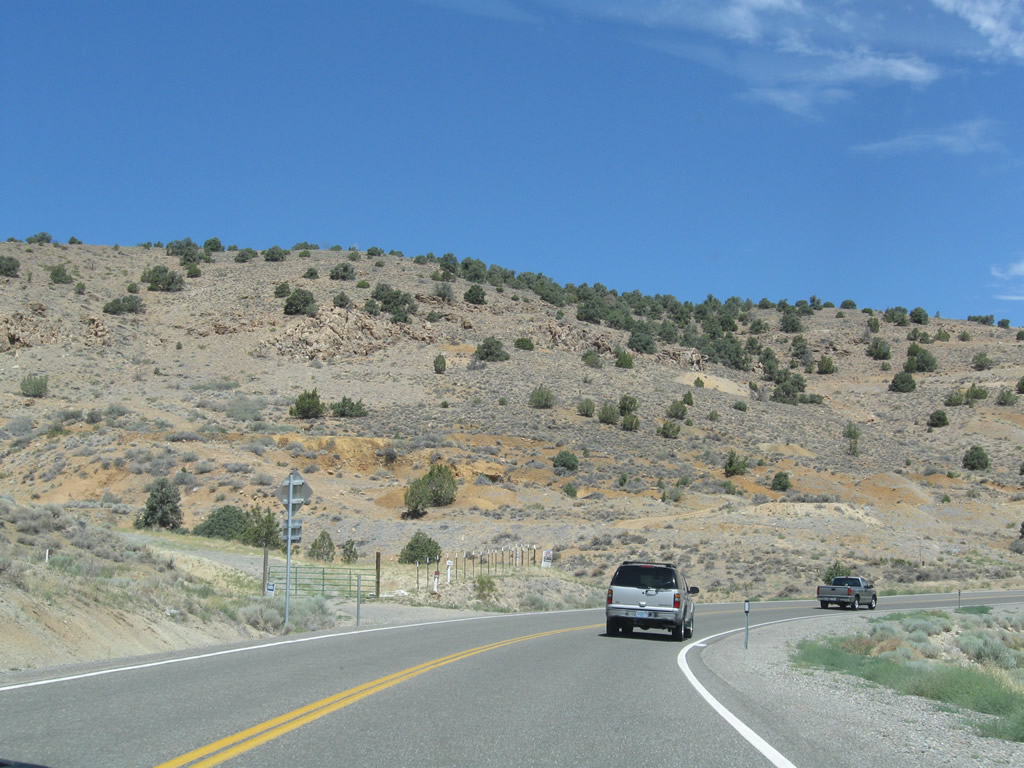
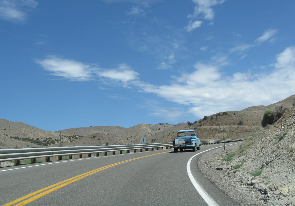
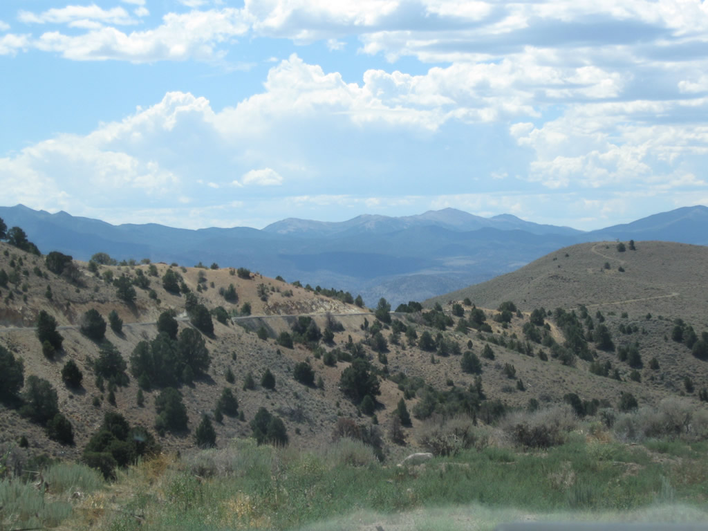
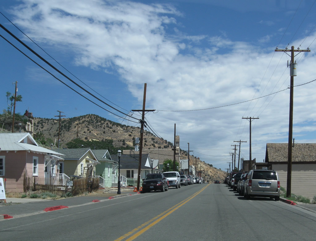
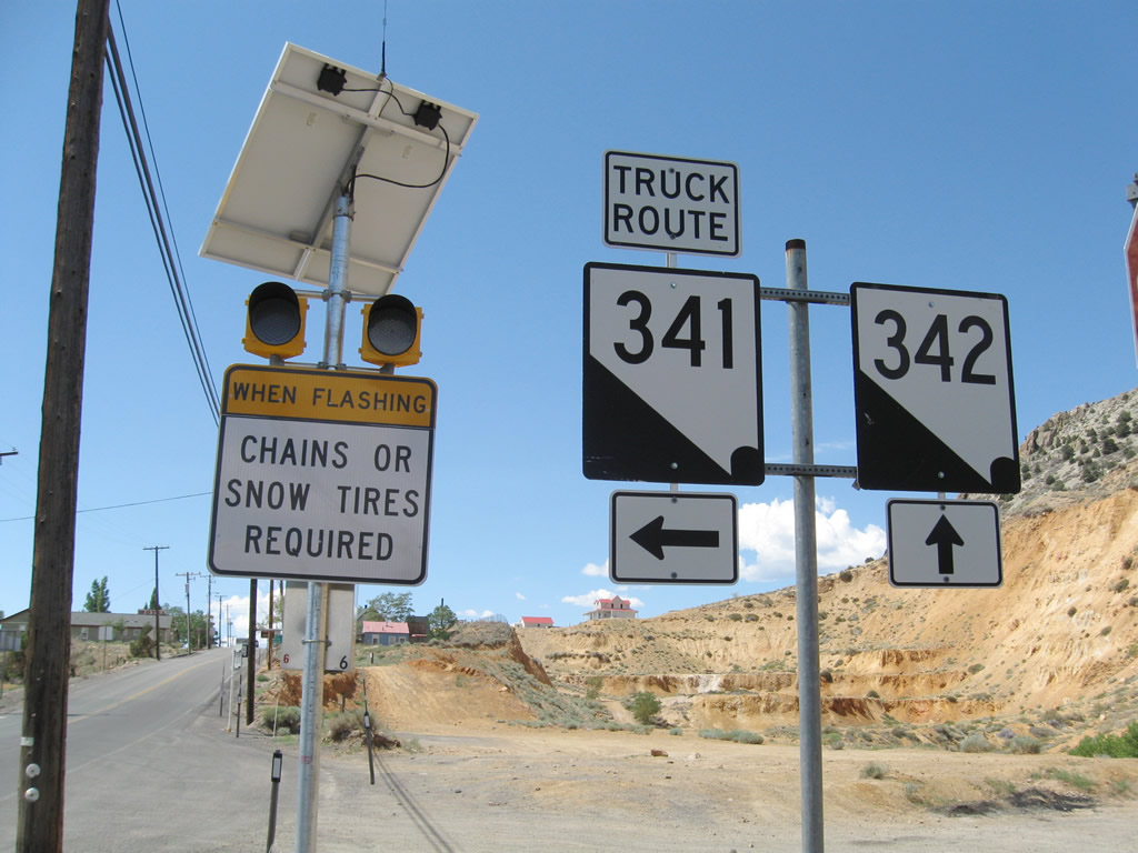
This series of photos follows Nevada 341/Comstock Highway from the U.S. 50 junction north to the Nevada 342 intersection. Nevada 341 passes through the high desert lands east of Carson City and travels gradually uphill toward Virginia City. At the Nevada 342 intersection, turn left to follow Nevada 342 along the older road through Silver City and Gold Hill. Turn right to follow the truck route (Nevada 341) north to Virginia City and bypass Silver City and Gold Hill. Photos taken 07/23/09. |
|
|
|
|
|
|
Passing through and leaving the intersection with Nevada 342, northbound Nevada 341 follows a newer, gentler alignment (known as the Occidental Grade) by bypassing Silver City and Gold Hill. Photos taken 07/23/09. |
|
|
|
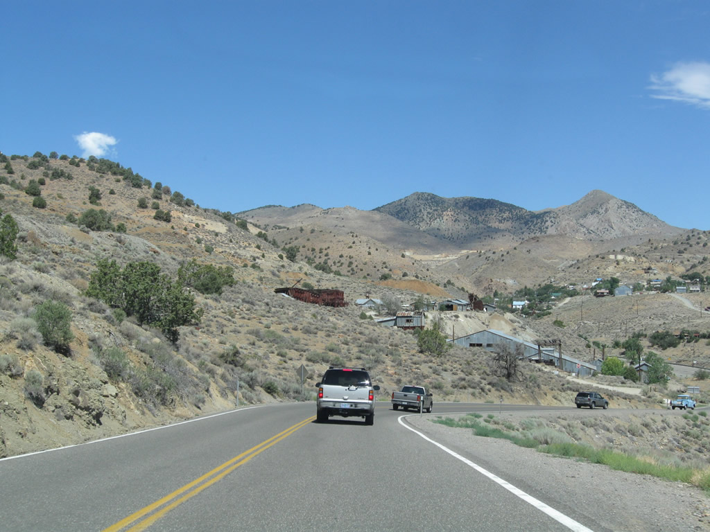
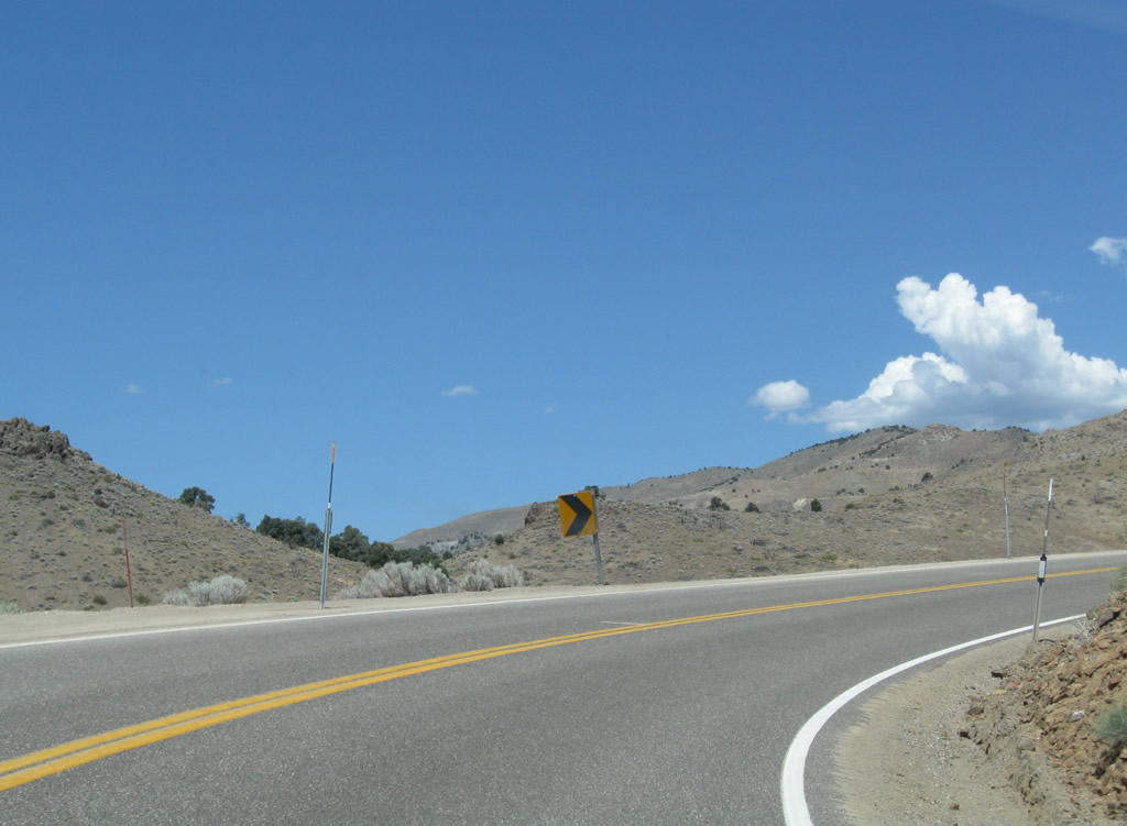
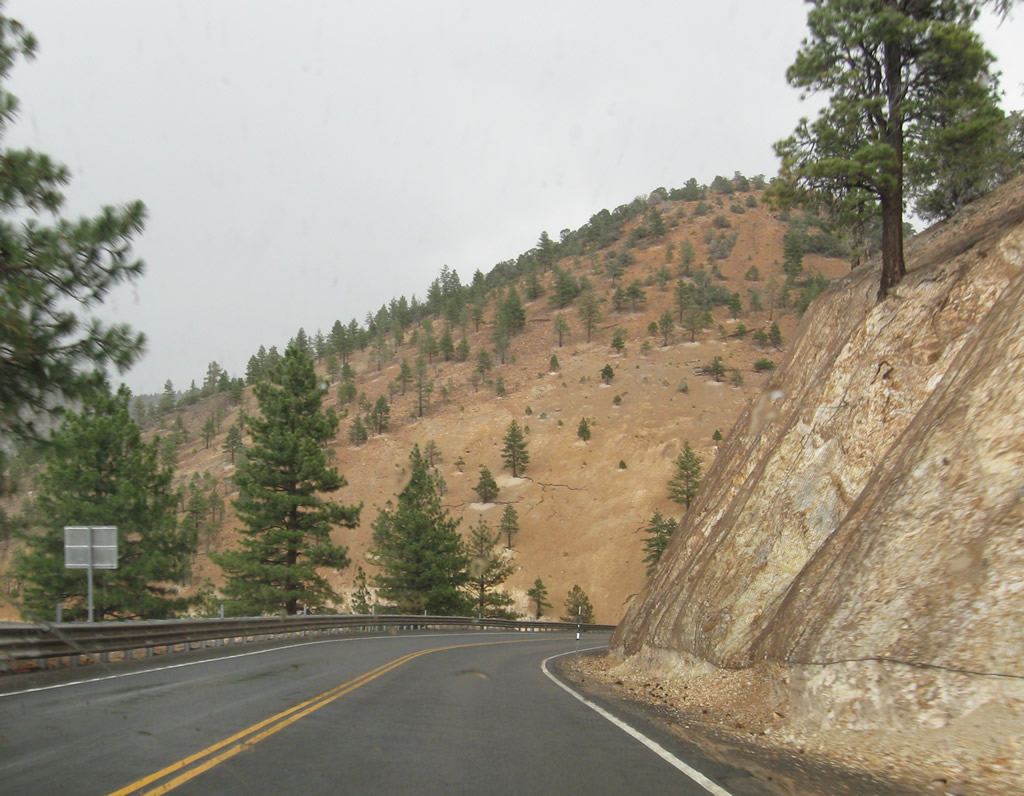
Proceeding north on the Occidental Grade, Nevada 341 is a winding road with less severe grades and curves than older Nevada 342. Prior to 1976, Nevada 341 was designated as Nevada 17, while Nevada 342 was signed as Nevada 80. The renumbering resulted in the present configuration of Nevada 341 and Nevada 342. Photos taken 07/23/09. |
|
|
|
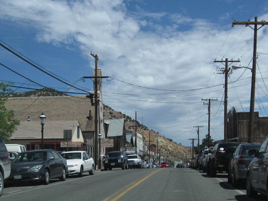
Nevada 341 continues north along the Occidental Grade. Photos taken 07/23/09. |
|
|
|
|
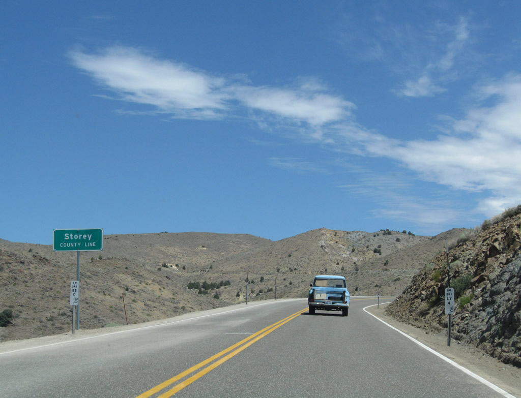
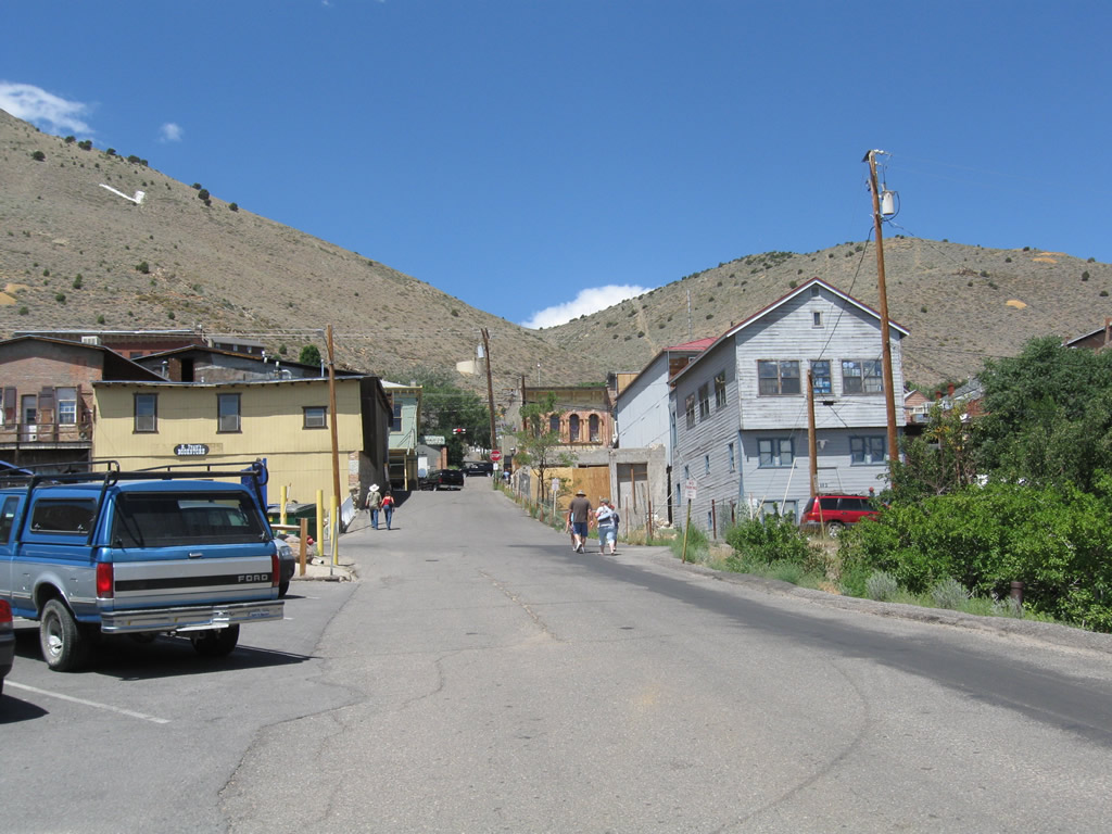
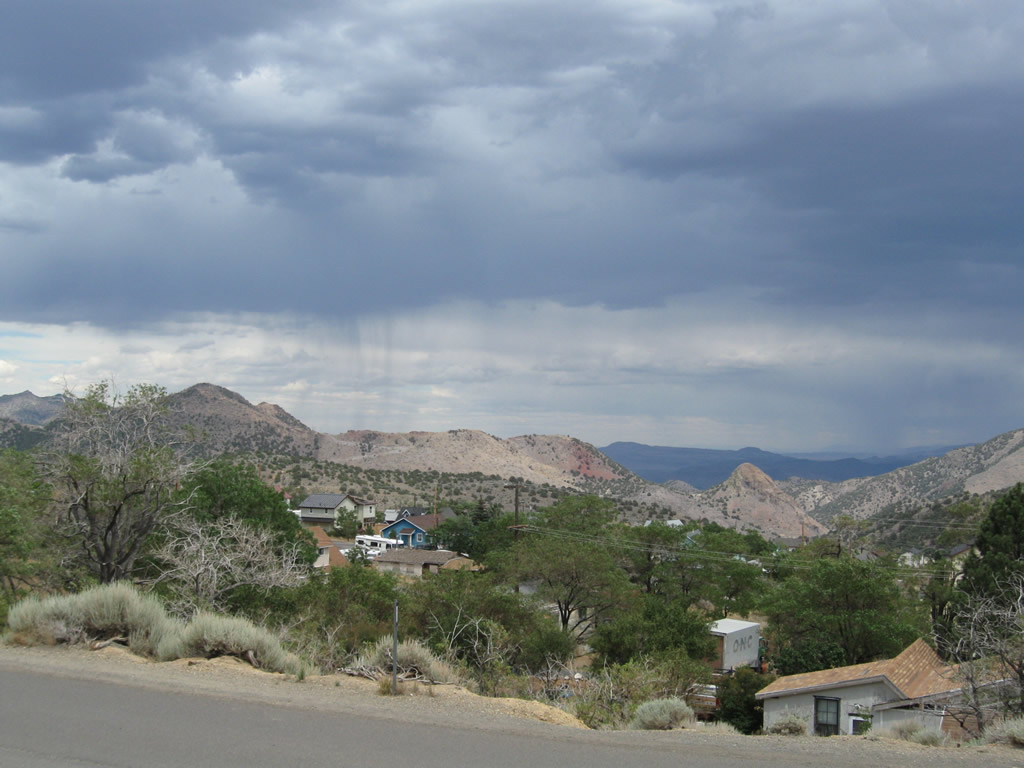
Nevada 341 leaves Lyon County and enters Storey County (population of 3,399 people as of the 2000 Census). Storey County is centered around the tourism of its county seat, Virginia City. Due to the discovery of the Comstock Lode in 1859, Storey County was created in 1861 and was for a time the most populous county in Nevada (that title now goes to Clark County in Southern Nevada). As mining activities diminished in the decades since, Storey County and Virginia City have repositioned themselves for tourism. In addition to tourism associated with the history of the Old West and mining, Storey County also has adopted legalized gambling and prostitution. (The famed Mustang Ranch is located off Interstate 80 Exit 23 for those seeking legalized prostitution.) Photo taken 07/23/09. |
|
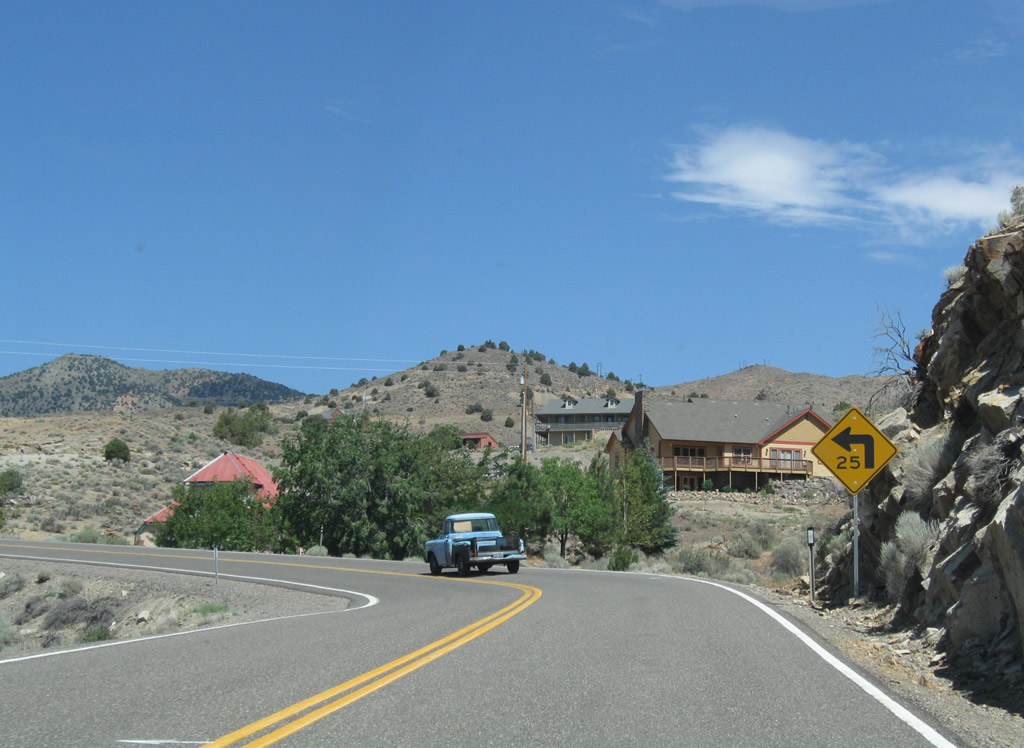
While gentler than the route along Nevada 342, the Occidental Grade has some notable sharp curves and steep grades. Photo taken 07/23/09. |
|
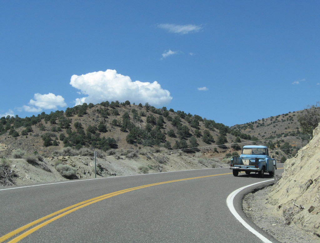
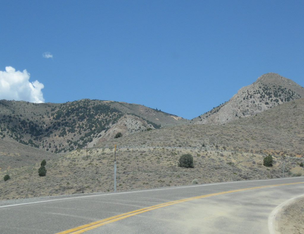
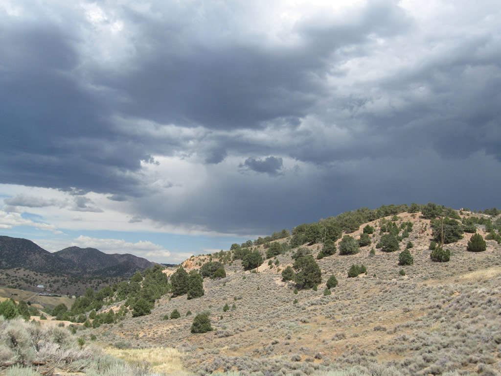
Nevada 341 continues to gain elevation en route to Virginia City. Evidence of prior mining activity can be seen throughout this area from very old and more recent claims. Photo taken 07/23/09. |
|
Switchbacks such as this are common along Nevada 341 on the Occidental Grade. Photo taken 07/23/09. |
|
Nevada 341/Occidental Grade turns toward the northwest. Views of Gold Hill to the west and back toward Silver City are afforded by looking south and west from the highway. Photo taken 07/23/09. |
|
Nevada 341 crosses over the Virginia & Truckee (V&T) Railroad. This railroad operates a tourist train that connects Virginia City with Gold Hill and will eventually continue southwest to Carson City. Photo taken 07/23/09. |
|
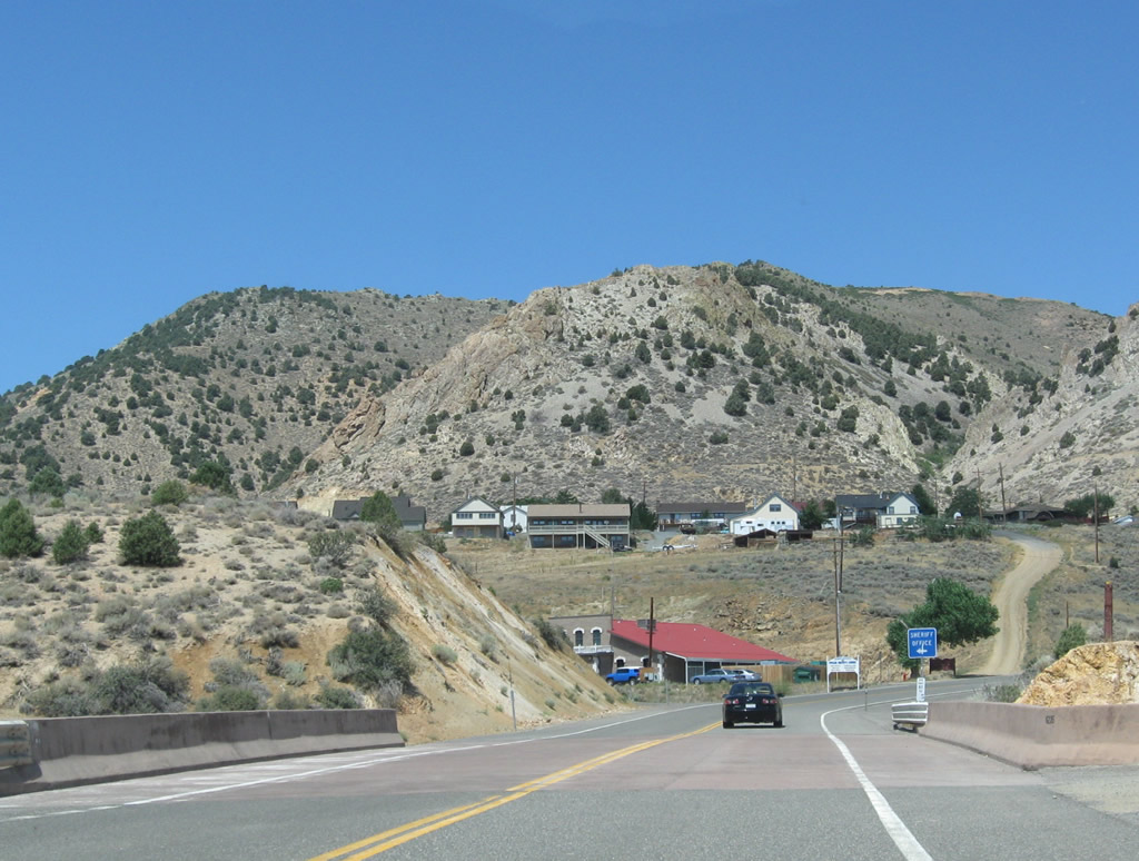
As we come into Virginia City, the next left connects Nevada 341 with the Storey County Sheriff's Office. Photo taken 07/23/09. |
|
Nevada 341 makes a final push uphill. Photo taken 07/23/09. |
|
Virginia City comes into view as Nevada 341 approaches F Street north. F Street parallels Nevada 341 through Virginia City and provides an alternate route through town. Photo taken 07/23/09. |
|
This three-mile marker is posted on Nevada 341 north after the F Street intersection. Photo taken 07/23/09. |
|
The next intersection along Nevada 341 north is with Nevada 342/C Street. Nevada 341 enters Virginia City, the seat of Storey County. The community sits at an elevation of 6,200 feet above sea level, which is some 1,500 feet higher than Carson City (elevation 4,730 feet above sea level). A visitors center located in the center of town is highly recommended for information on tours and attractions in this historic city. Photo taken 07/23/09. |
|
Northbound Nevada 341 approaches the intersection with Nevada 342/C Street. Turn left to follow Nevada 342 south to Gold Hill and Silver City; this route has steeper grades than those seen on Nevada 341's Occidental Grade. Turn right to continue north on Nevada 341/C Street into downtown Virginia City and then north to the Geiger Grade en route to Mt. Rose Junction and Reno. Photo taken 07/23/09. |
|
A stop sign governs the flow of traffic between Nevada 341 north and C Street in Virginia City. Photo taken 07/23/09. |
|
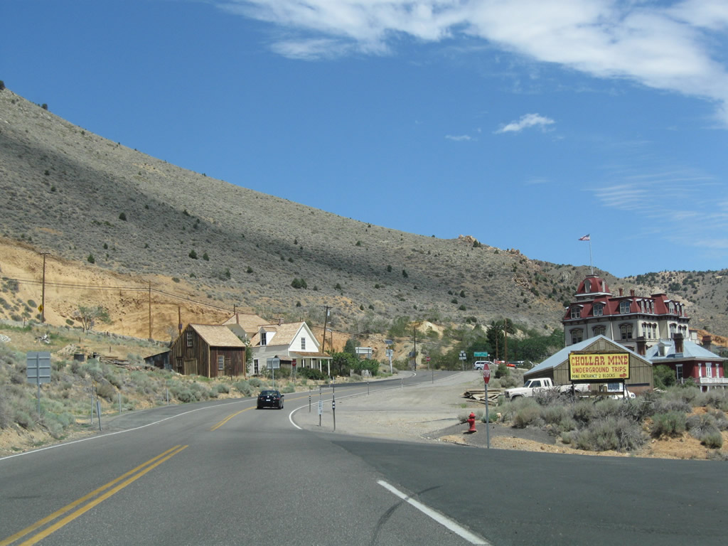
The historic building at the intersection of Nevada 341 and Nevada 342 is the Historic Fourth Ward School; this school turned into a museum is considered to be one of the top attractions of Virginia City. Photo taken 07/23/09. |
|
From outward appearances, the Fourth Ward School looks to be in good condition; visitors may tour the building with a paid admission. Photo taken 07/23/09. |
|
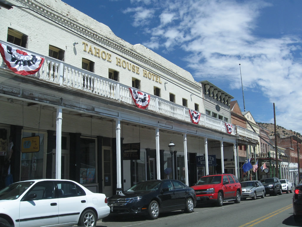
This view looks north on Nevada 341 from near the Fourth Ward School toward downtown Virginia City. Photo taken 07/23/09. |
|
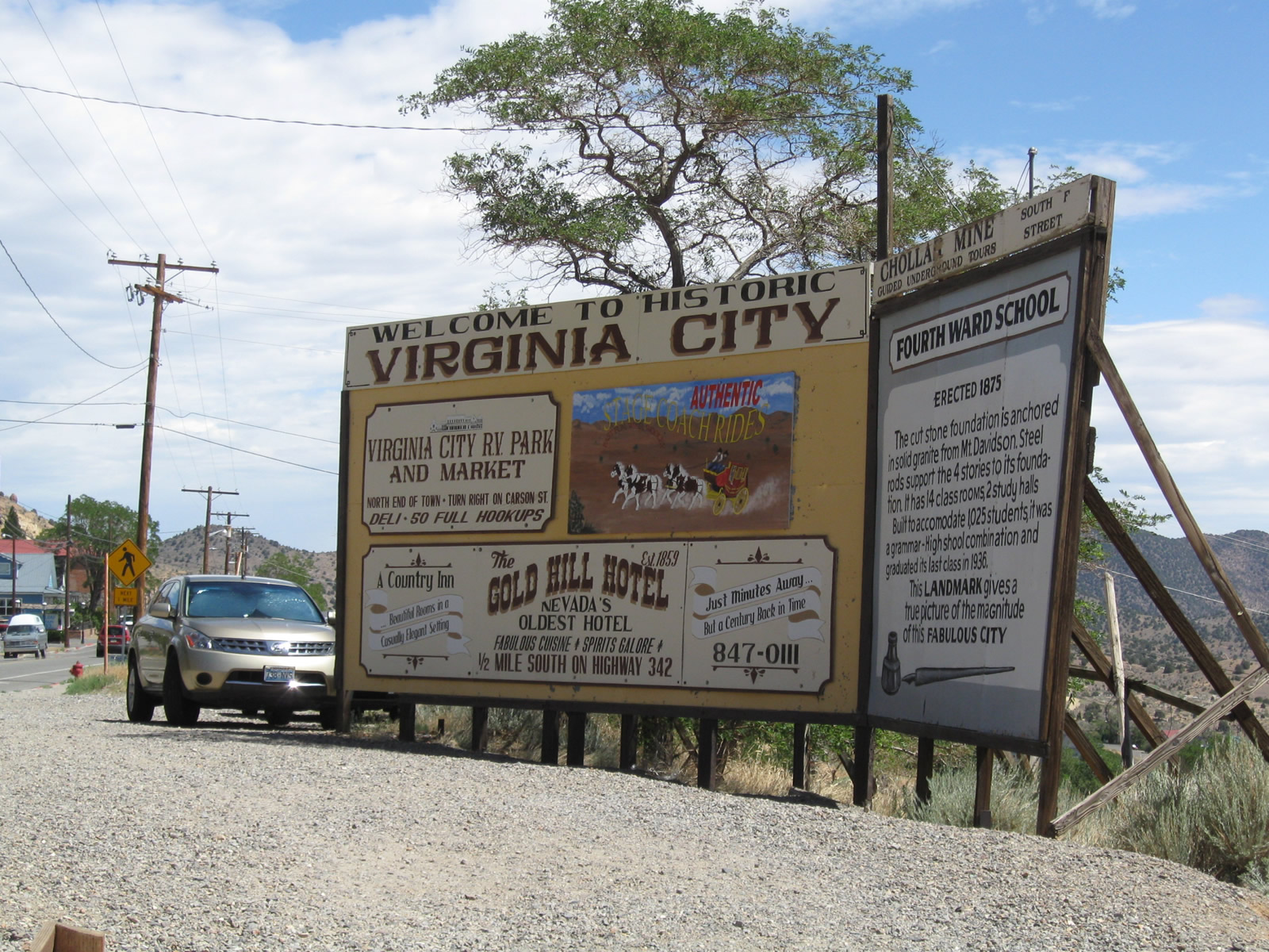
A billboard style welcome sign greets visitors to Virginia City. The sign advises of the some of the tourist attractions, such as the Fourth Ward School and Gold Hill Hotel. Photo taken 07/23/09. |
|
|
|
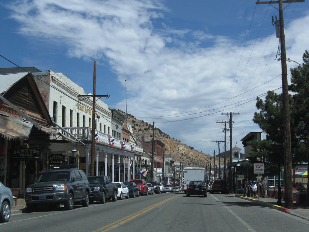
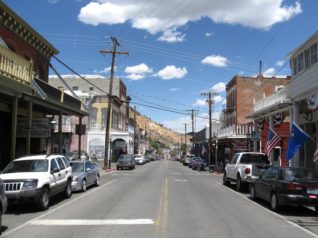
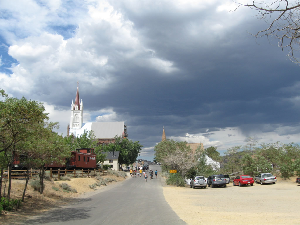
Traveling into downtown Virginia, northbound Nevada 341 follows C Street past increasingly historic buildings, many of which date to the mining town's heyday in the 19th century. Tours of Virginia City are available from near the center of downtown; check the visitors center for more information including tour times. Photos taken 07/23/09. |
|
|
|
|
|
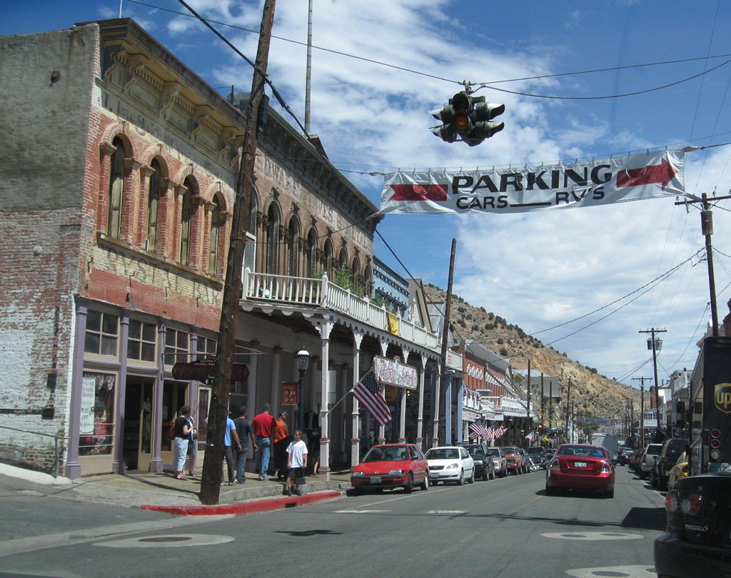
At the main traffic signal in town (a flashing beacon), northbound Nevada 341/C Street meets Taylor Street. While parking is available on street, it is also good to consider parking on the side streets leading downhill from the center of town. Photos taken 07/23/09. |
|
|
|
Northbound C Street (Nevada 341) meets Union Street at this intersection. Note the covered walkways on either side of C Street; pedestrians can walk under these awnings and avoid the hot glare of the sun or cold winter snows. Photos taken 07/23/09. |
|
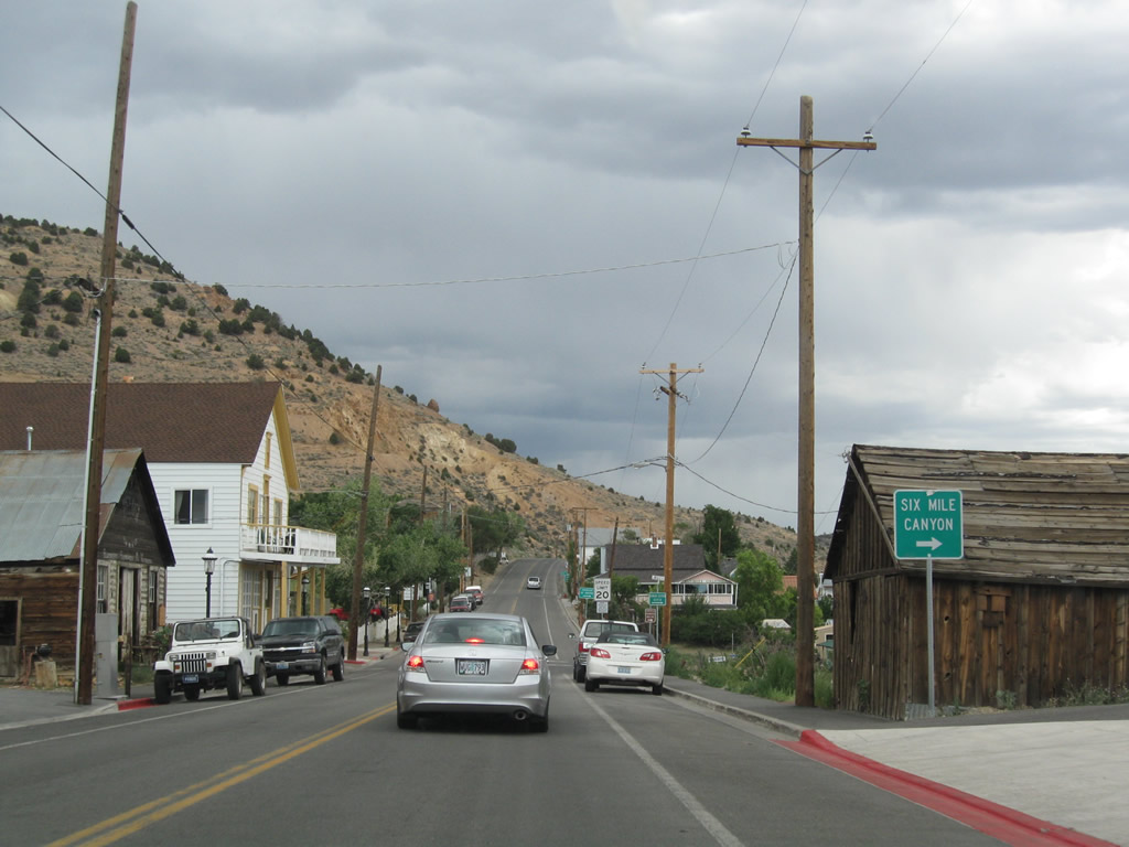
Leaving downtown Virginia City, northbound Nevada 341 approaches Former Nevada 79/Mill Street (Six Mile Canyon Road) east to U.S. 50 near Dayton. The highway was relinquished around 1976 and is no longer part of the state route system. Photo taken 07/23/09. |
|
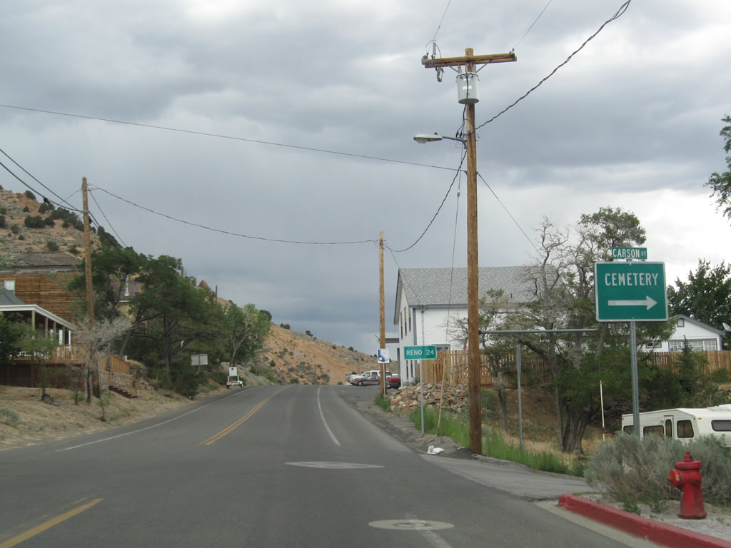
Northbound Nevada 341 meets Carson Street. Turn right here to the Virginia City Cemetery. A mileage sign provides the distance to Reno via Nevada 341/Geiger Grade to U.S. 395/Interstate 580 north (24 miles). Photo taken 07/23/09. |
|
Another Comstock Highway reassurance route marker is posted as we leave Virginia City. Photo taken 07/23/09. |
|
|
|
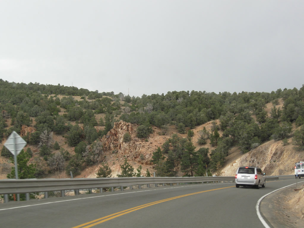
Nevada 341/Comstock Highway will gain elevation to Geiger Summit (elevation 6,789 feet above sea level), then follow a lengthy descent from there to Mt. Rose Junction south of Reno via Geiger Grade. As a storm gathered around the highway, wild horses lined the side of the state route. Photos taken 07/23/09. |
|
|
|
|
|
|
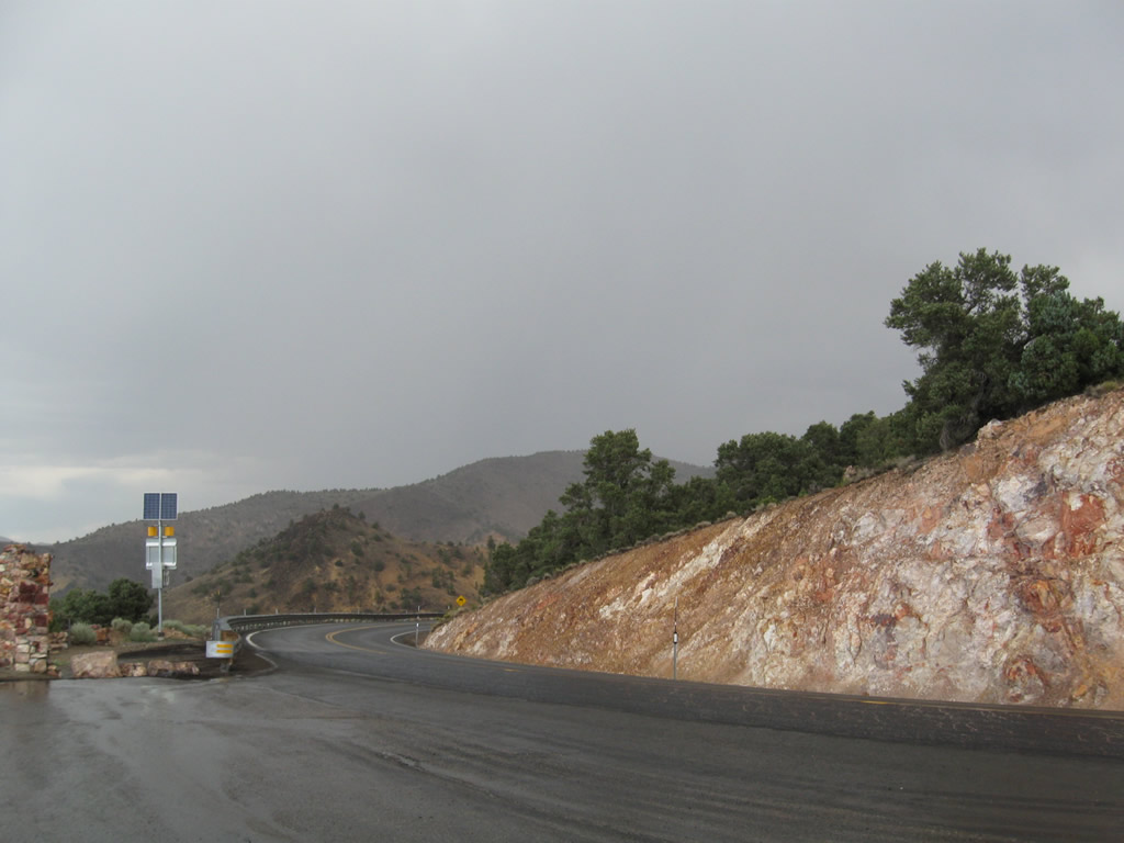
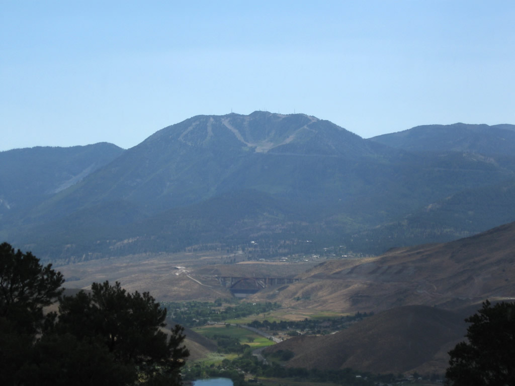
Like its companion Nevada 431, Nevada 341/Comstock Highway sees a very significant and steep descent into Mount Rose Junction. This series of photos follows the state route northwest toward Mt. Rose Junction via the Geiger Grade. This route can be treacherous in stormy conditions. A view to the west looks down on the Interstate 580 Galena Creek Arch Bridge and up to Mount Rose itself. Photos taken 07/23/09. |
|
|
|
|
Reaching the bottom of the Geiger Grade in a thunderstorm, northbound Nevada 341 approaches its junction with Nevada 430 (Temporary U.S. 395)/Virginia Street. Photo taken 07/23/09. |
|
Nevada 341 ends at this signalized intersection with Nevada 430 (Temporary U.S. 395)/Virginia Street. Continue straight to follow Nevada 431/Mt. Rose Highway southwest to Galena and Incline Village. Turn left to follow Nevada 430 south to Washoe City and Carson City; turn right to follow Virginia Street into Reno. To Interstate 580 and U.S. 395 Freeway north to Reno and Sparks, continue straight ahead on Nevada 431, then make the first exit after the shopping center. Photo taken 07/23/09. |
| Nevada 341/Comstock Highway south |
|---|
|
In downtown Virginia City, this view looks south along Nevada 341/C Street from the Taylor Street intersection. Photo taken 07/23/09. |
|
At the Fourth Ward School, southbound Nevada 341/C Street meets the split with Nevada 342. The gentler grade is found along Nevada 341, while steeper grades and curves are found on the older Nevada 342. Trucks are advised to use Nevada 341 (left turn) rather than Nevada 342. Photo taken 07/23/09. |
|
Notably, neither of these state route markers have the state name of NEVADA in them. Photo taken 07/23/09. |
|
Through traffic to U.S. 50 might find Nevada 341 a better route downhill. Nevada 342 travels south through Gold Hill and reconnects to Nevada 341/Comstock Highway at Silver City. Photo taken 07/23/09. |
|
This guide sign is posted across the street from the Fourth Ward School and shows the split between Nevada 341 (Truck Route) and Nevada 342 (to Gold Hill and Silver City). Photo taken 07/23/09. |
|
After a chain installation sign and the Storey County Sheriff's Office, Nevada 341 proceeds south along the Occidental Grade toward Silver City and U.S. 50. Photo taken 07/23/09. |
| Nevada 341 scenes |
|---|
|
|
|
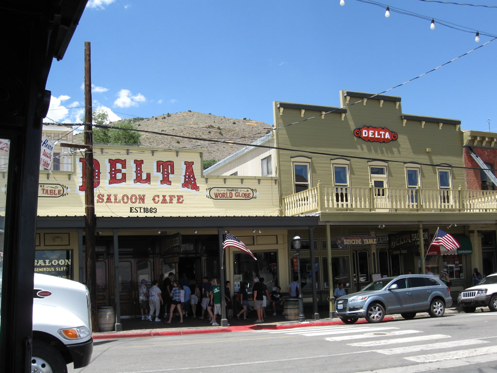
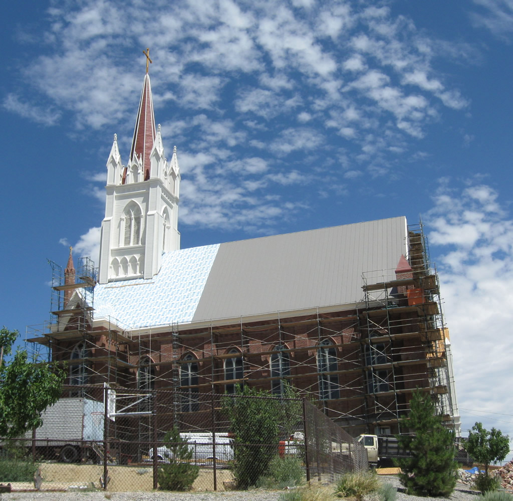
This series of photos shows some of the historic buildings and structures found around Virginia City, a historic mining town that has seen several boom and bust cycles. This group of photos shows St. Mary's in the Mountains Catholic Church, which was built around 1875. Tourism is one of the main industries in Virginia City today, and its colorful past of "Wild, Wild West" and high noon shootouts have been made into a tourist draw. Many of the buildings that line the main street through town feature historical displays, and much of the construction dates to the frontier days. In those days, it was said that the prosperity of the town decreased each block away from the main street. In the late 1800s, more of the lower income and lawless used to live east of (downhill from) the main street, and that meant many bars and brothels were located in this district away from the central town area. Photos taken 07/23/09. |
|
|
|
These photos look west along Taylor Street toward downtown Virginia City. The flashing beacon light is at the intersection with C Street (Nevada 341). Photos taken 07/23/09. |
|
Look for the Virginia City Convention and Visitors Bureau at the northwest corner of the intersection between C Street (Nevada 341) and Taylor Street. Photo taken 07/23/09. |
|
|
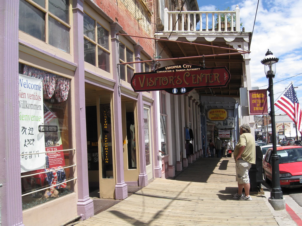
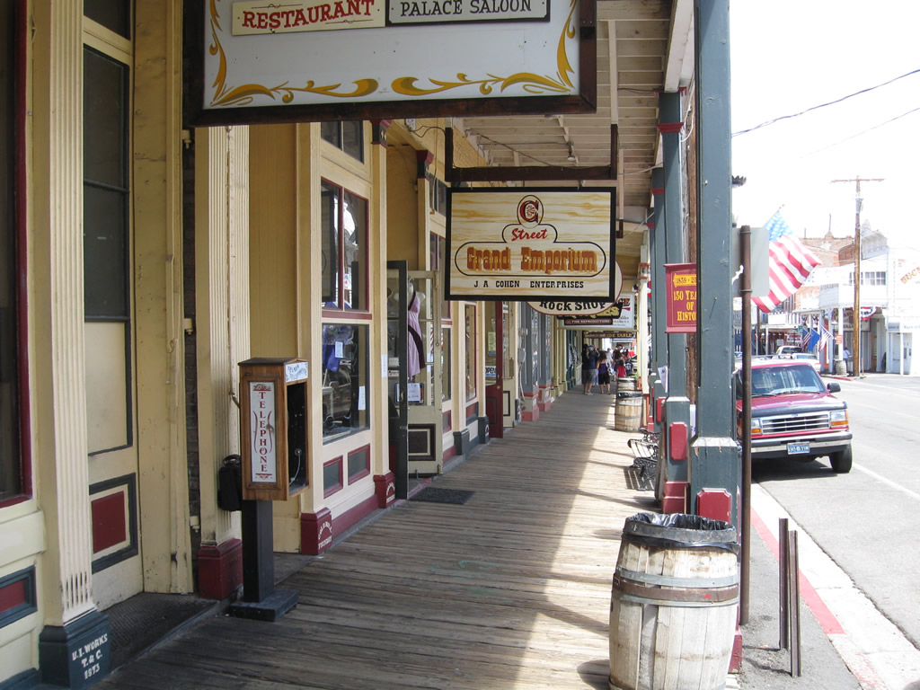
Along C Street, a variety of shops, restaurants, hotels, and casinos are linked by authentic covered wooden walkways. Photos taken 07/23/09. |
|
The Bucket of Blood Saloon is advertised around Virginia City and has a unique history that led to its naming. This photo was taken in a parking lot near the intersection of C Street and Union Street. Photo taken 07/23/09. |
|
|
|
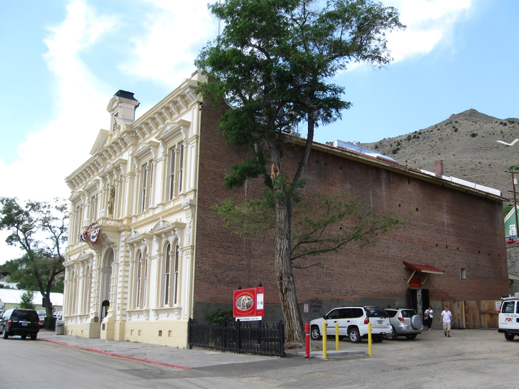
Located at the southwest corner of the intersection of B Street and Union Street, the Storey County Courthouse was built in 1876. Photos taken 07/23/09. |
|
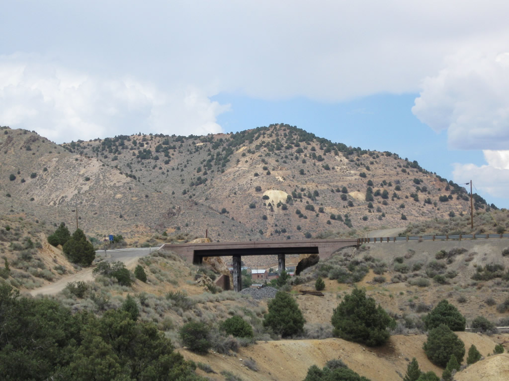
This view looks north at the Nevada 341/Occidental Grade bridge over the Virginia & Truckee Railroad in southern Virginia City. Photo taken 07/23/09. |
|
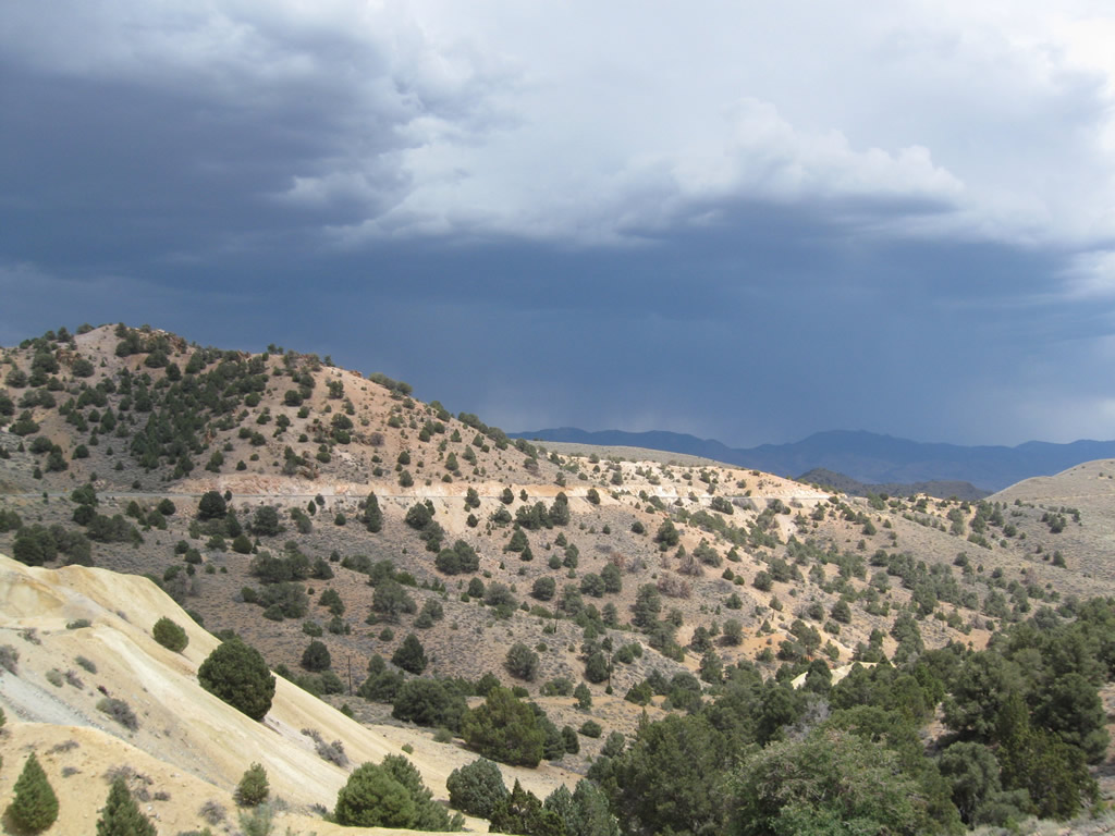
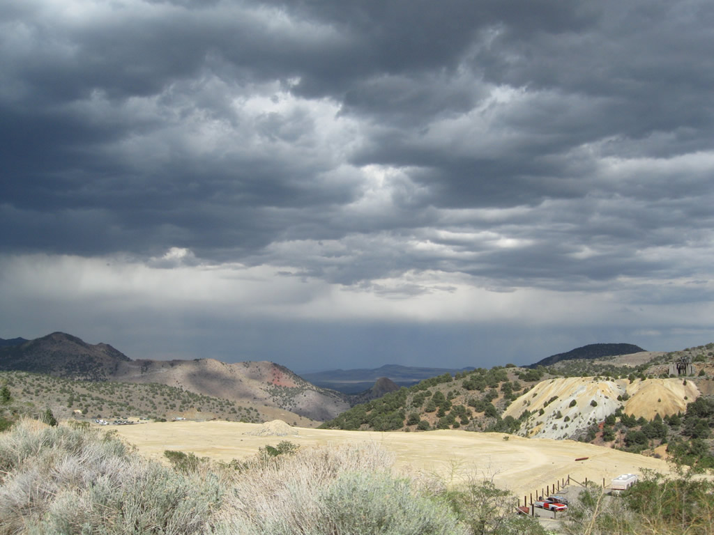
An afternoon thunderstorm developed above Nevada 341 as the highway descended the Occidental Grade from Virginia City into Lyon County. Photo taken 07/23/09. |
|
|
|
Storm clouds also gathered over Virginia City as the thunderstorm billowed over the mountains to the east. Summer storms such as this are common in northern Nevada. Photos taken 07/23/09. |
|
|
|
Page Updated July 14, 2012.