| U.S. 395 Alternate and Former Nevada 430 south |
|---|
|
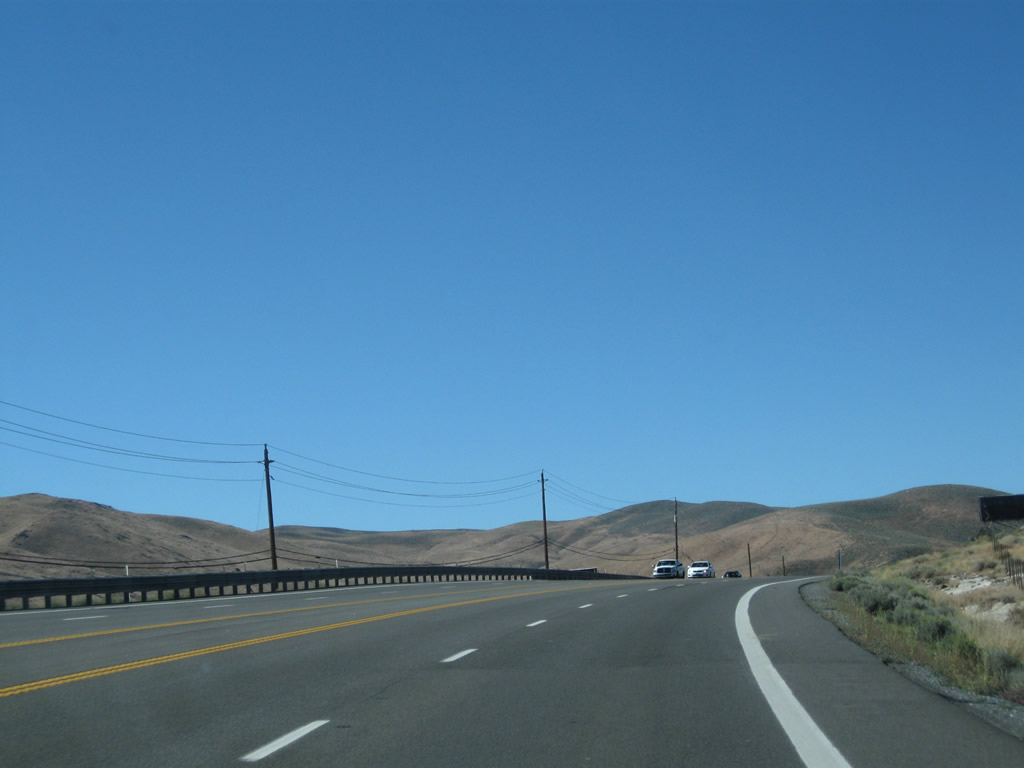
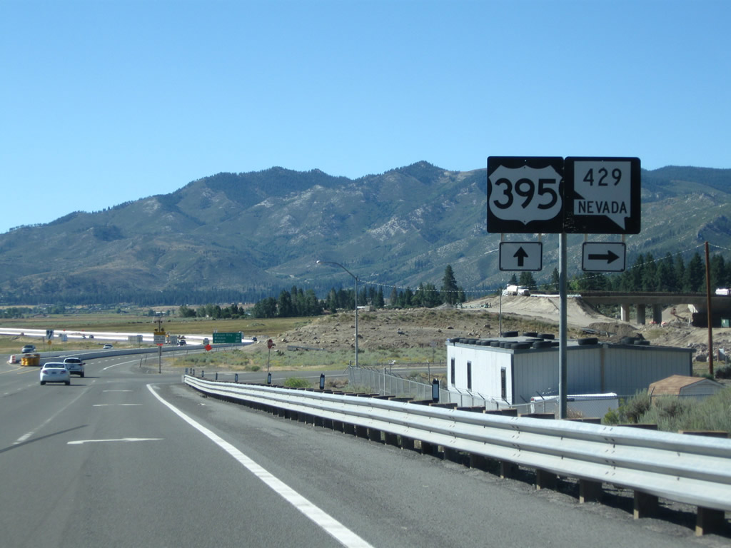
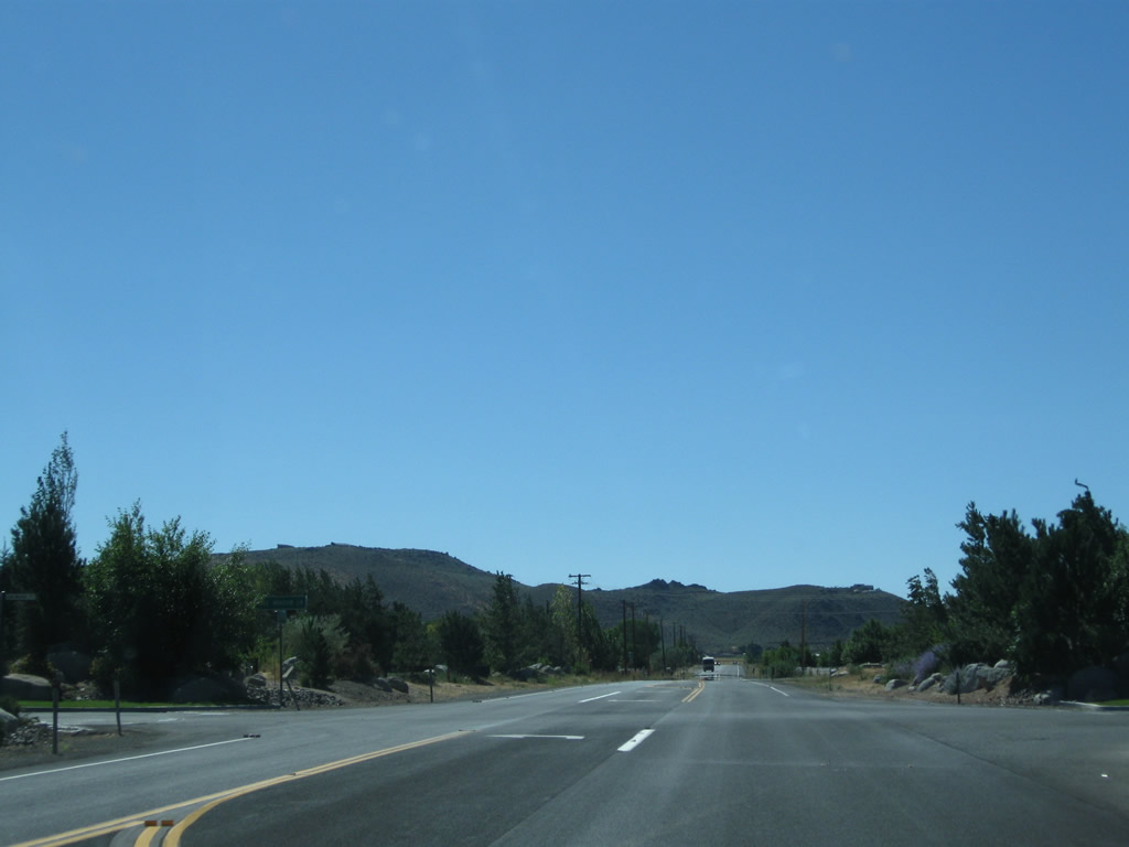
U.S. 395 Alternate begins at Patriot Boulevard, near Interstate 580/U.S. 395 Exit 61. About three-four miles south of that interchange, this end U.S. 395 Business shield is posted next to a Nevada 430 south reassurance route marker on southbound Virginia Street (at Exit 57A) between Damonte Ranch Parkway/Arrow Creek Parkway and U.S. 395/Interstate 580. This end shield is likely temporary, as this is now part of U.S. 395 Alternate (as of May 2012). Photo taken 07/23/09. |
|
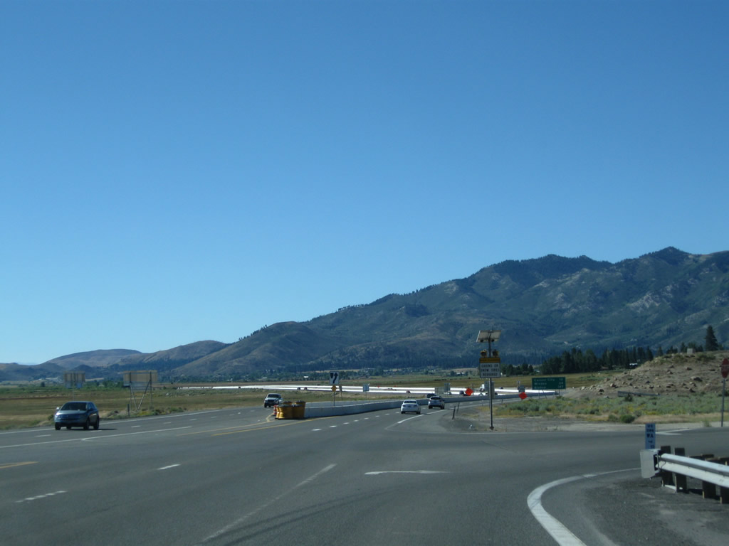
Traffic from U.S. 395 south merges onto southbound U.S. 395 Business and Nevada 430 from the right. The next left is the onramp to U.S. 395 and Interstate 580 north to Reno and Sparks. Photo taken 07/23/09. |
|
Most of these pictures were taken back when mainline U.S. 395 was routed along what is now designated as U.S. 395 Alternate (as of May 2012). After mainline U.S. 395 southbound traffic merges onto Virginia Street at Exit 57A, the next major intersection is with Nevada 341/Geiger Grade Road southeast to Virginia City and Nevada 431/Mt. Rose Highway southwest to Incline Village and Lake Tahoe. Photo taken 07/23/09. |
|
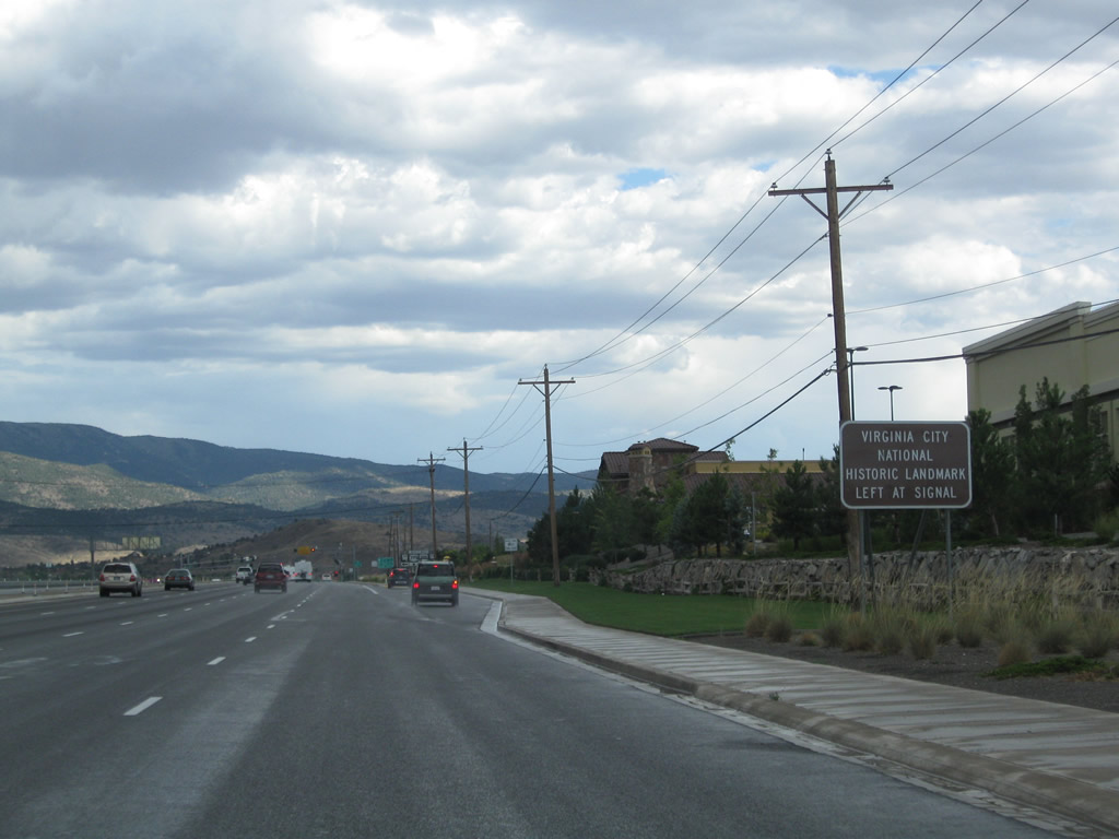
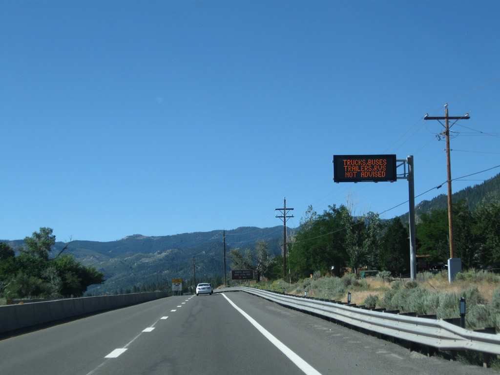
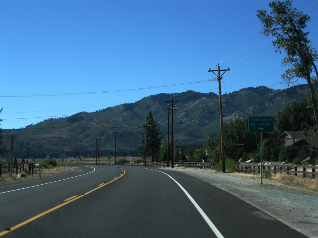
After an entrance to The Summit Reno shopping center, a temporary set of route markers points the way to Nevada 341 south (left), Nevada 431 south (right), U.S. 395 south (straight ahead), and U.S. 395 north (right via Nevada 431 south). Photo taken 07/23/09. |
|
A guide sign points the way to Carson City and South Lake Tahoe via U.S. 395 Alternate south, Virginia City via Nevada 341 south, and North Lake Tahoe (including Incline Village) via Nevada 431 south. Photo taken 07/23/09. |
|
An afternoon summer thunderstorm brought rain to the area around Mt. Rose Junction and Galena. Use Nevada 431 southwest to the University of Nevada Redfield Campus. Photo taken 07/23/09. |
|
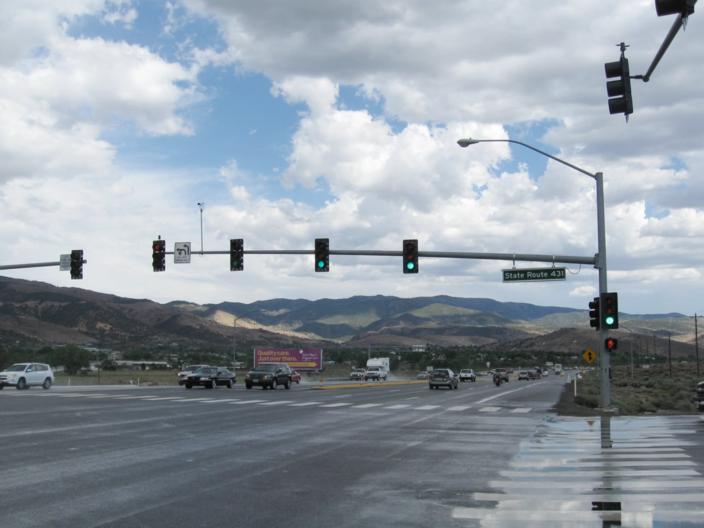
Southbound U.S. 395 Alternate meets Nevada 341 south and Nevada 431 south at this signalized intersection. Photo taken 07/23/09. |
|
|
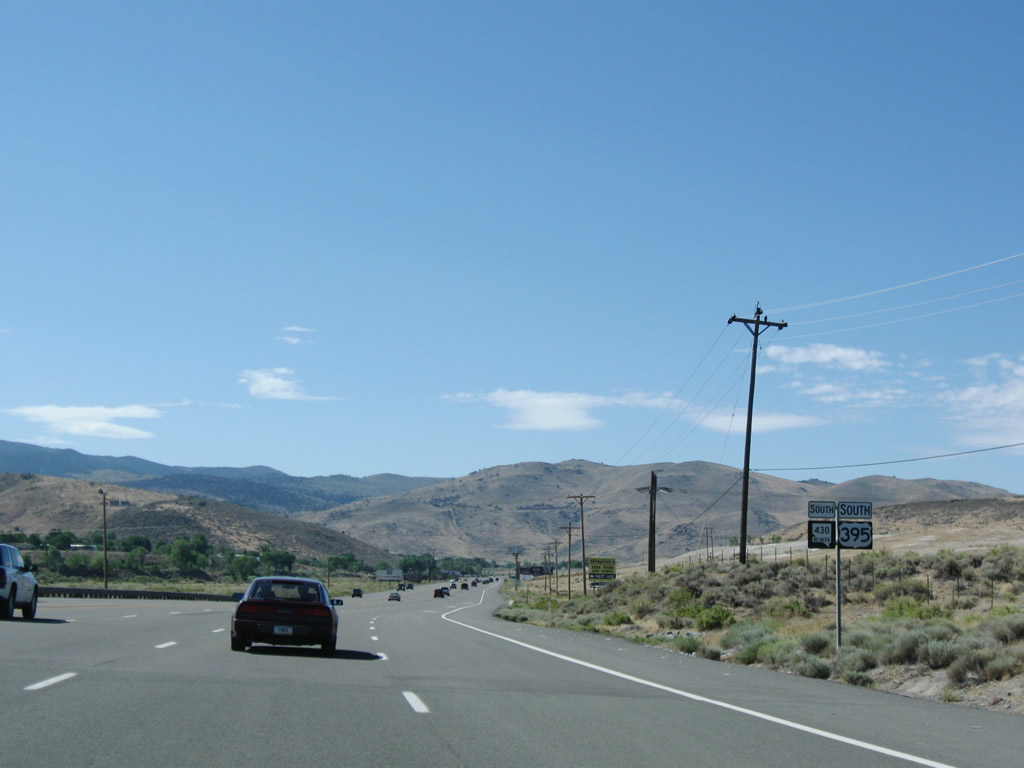
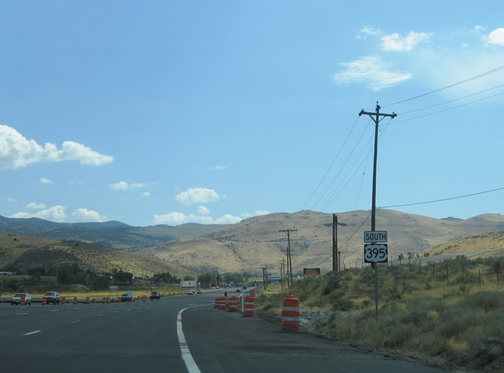
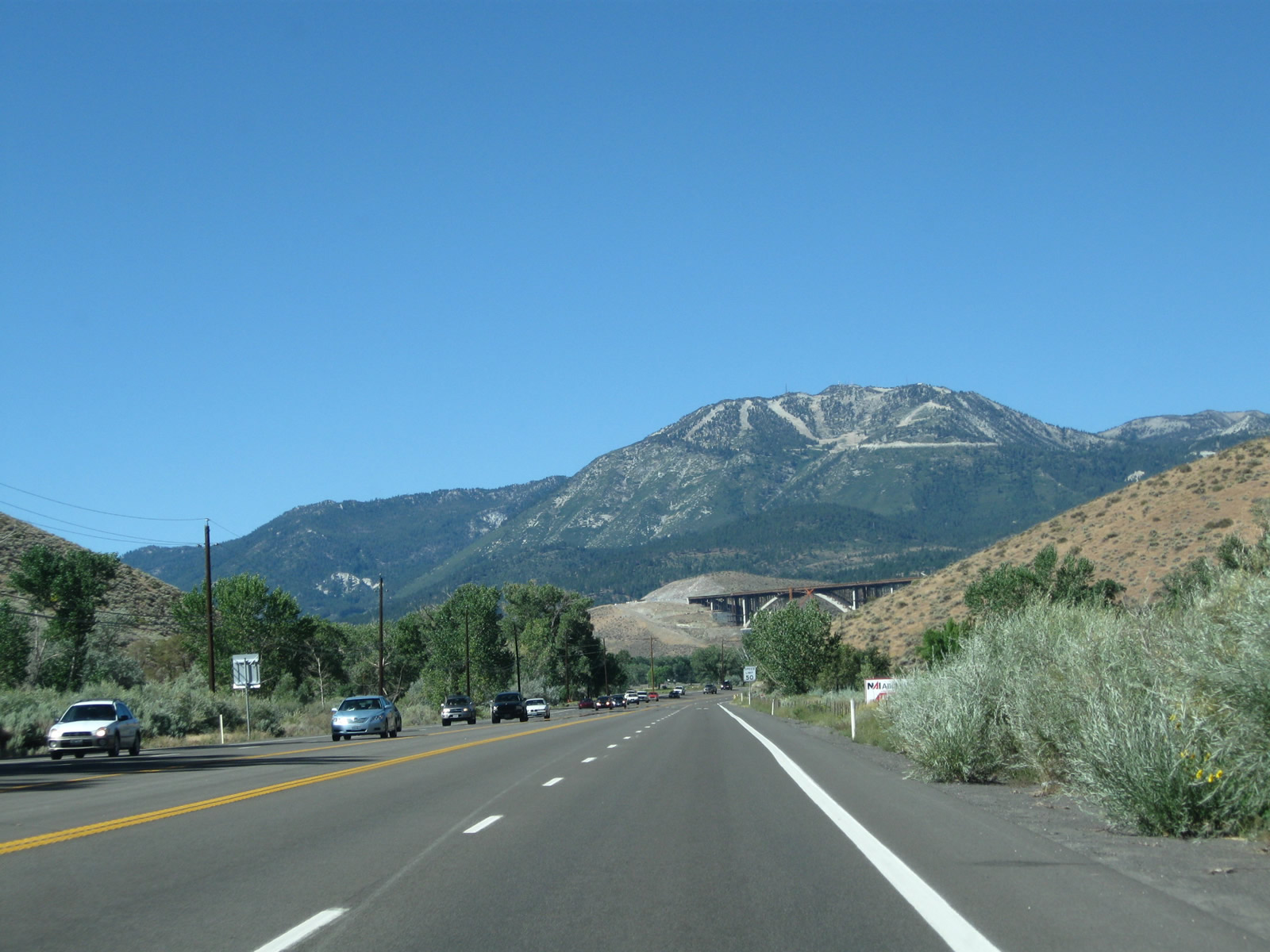
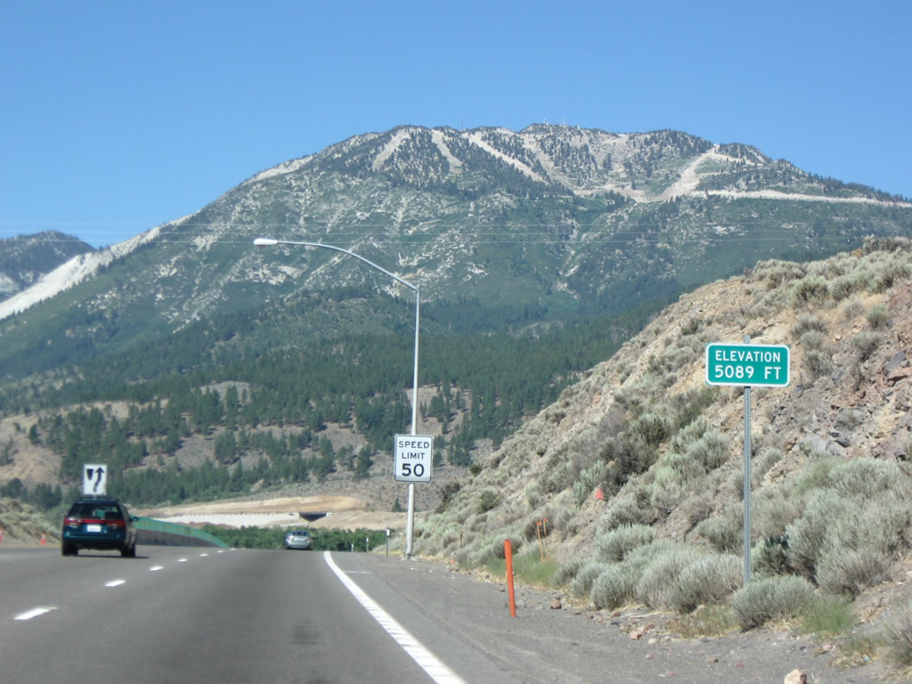
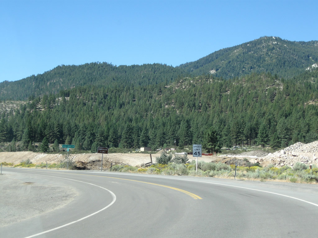
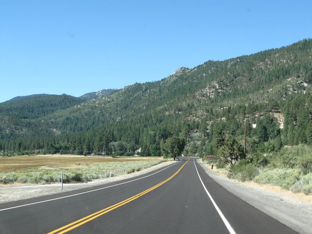
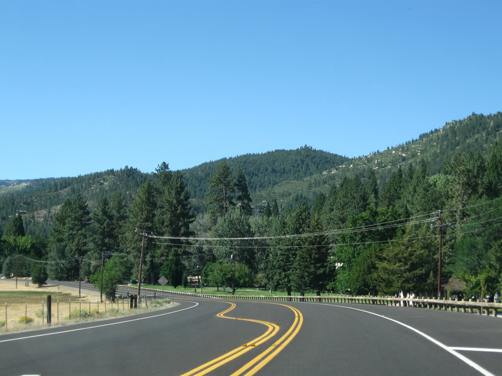
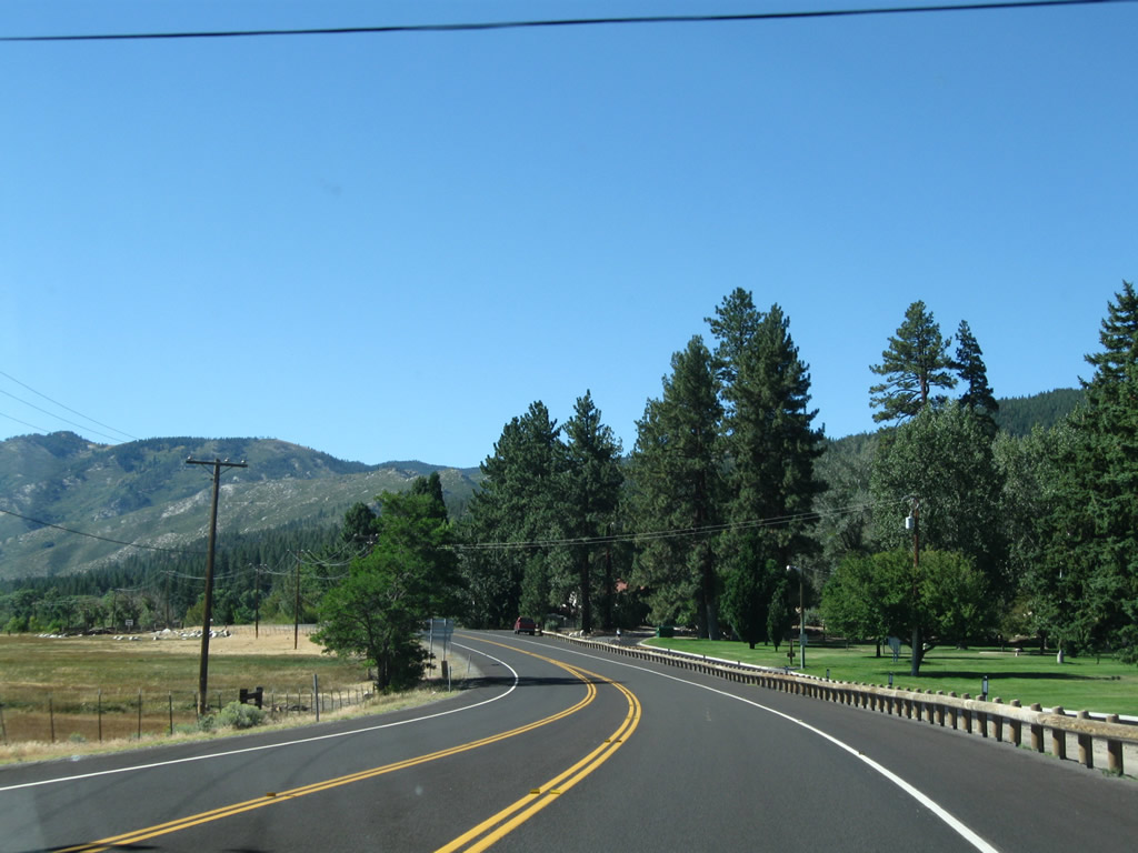
Back in 2005 and 2009, this U.S. 395 south reassurance shield was posted on Virginia Street after its intersection with Nevada 431 (Mt. Rose Highway) and Nevada 341 (Geiger Grade Road). U.S. 395 Alternate travels along a four-lane surface highway between south Reno and Washoe Lake. Steamboat and Pleasant Valley lie ahead along the 50-mph roadway. After construction, the road south was widened and is cosigned as both U.S. 395 and Nevada 430 based on the intent for this road to become Nevada 430 when the Interstate 580 freeway is completed in 2011. Photos taken 07/19/09 and 09/09/05. |
|
|
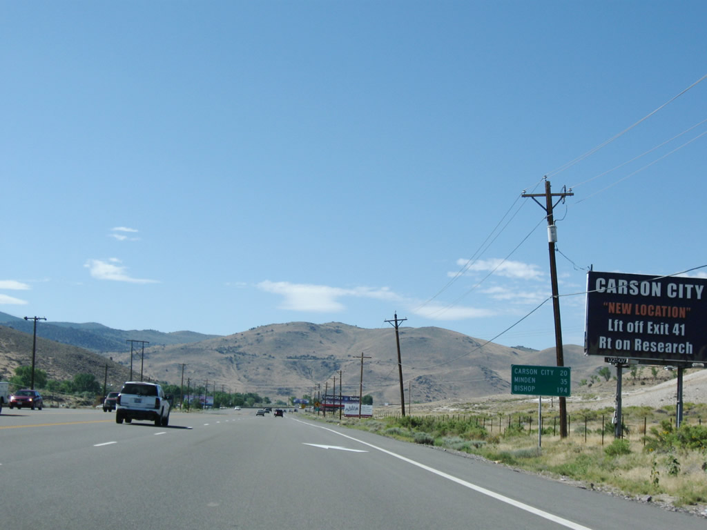
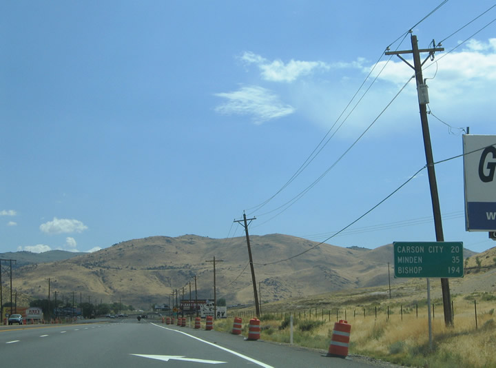
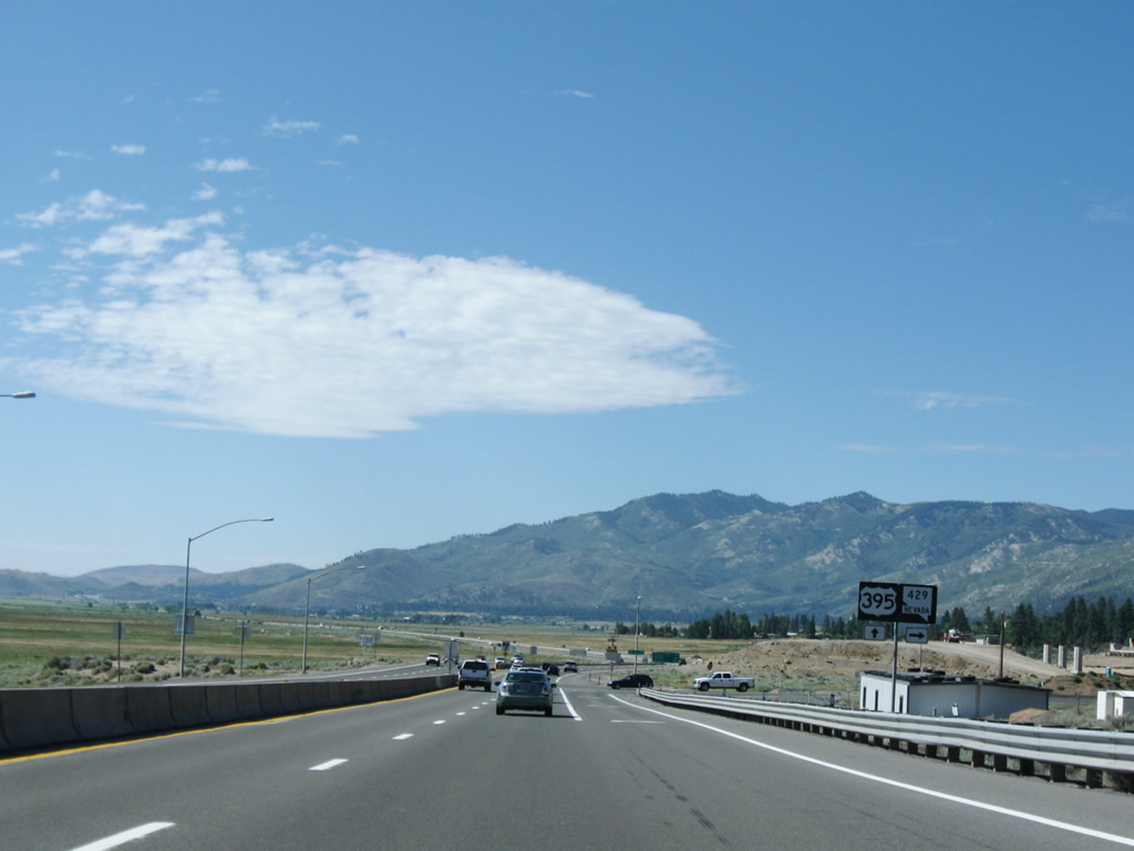
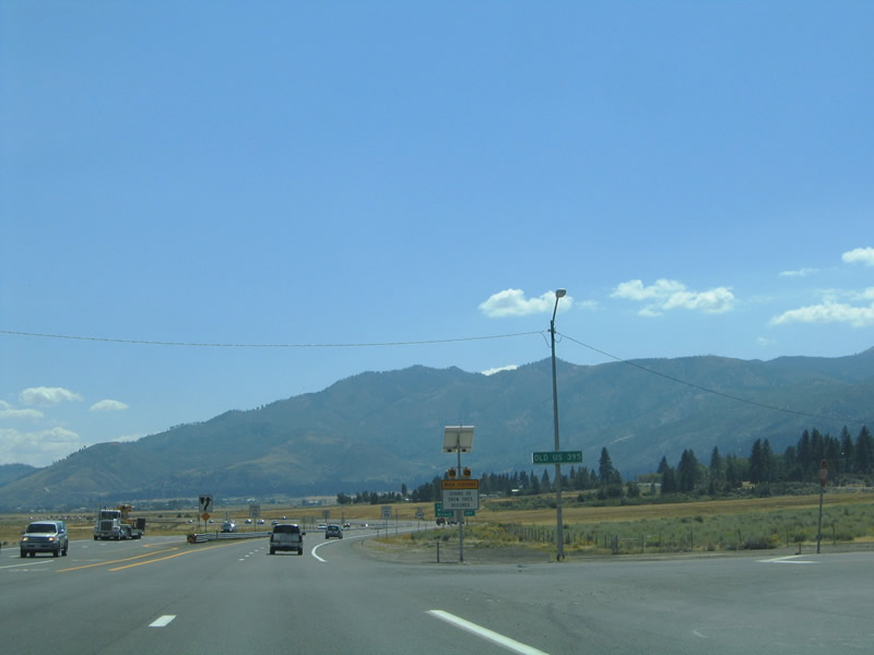
This mileage sign ia posted on U.S. 395 Alternate southbound after the Nevada 431 and 341; it provides the distance to Carson City, Minden, and Bishop. Minden/Gardnerville is located in the Carson Valley south of Carson City, and it is the last significantly populated area before U.S. 395 embarks on a further journey south into the Eastern Sierra, some areas of which are fairly remote. Much further south is Bishop, California, which represents the western terminus of U.S. 6. Photos taken 07/19/09 and 09/09/05. |
|
|
|
|
|
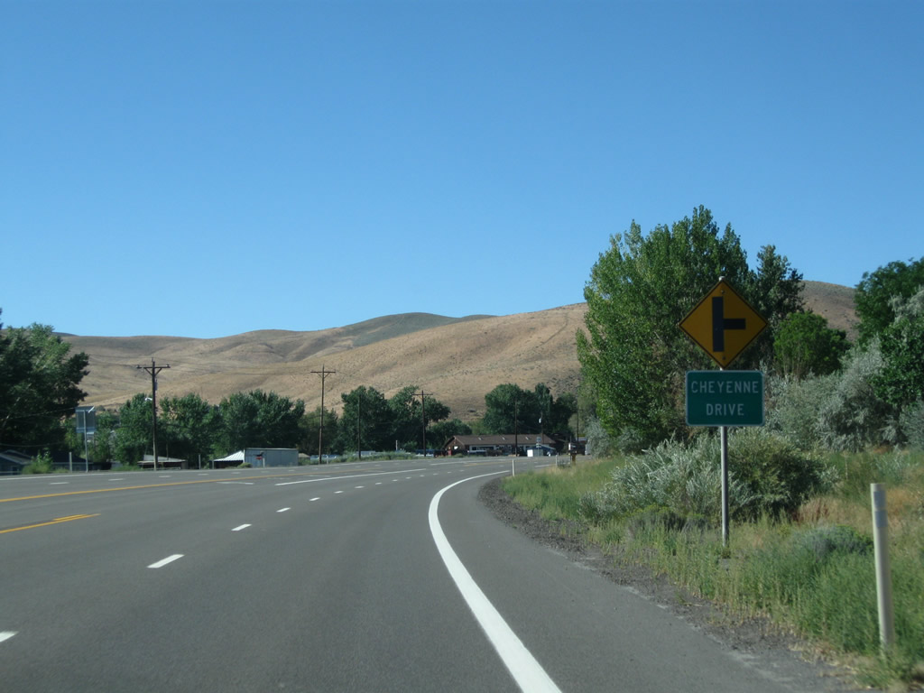
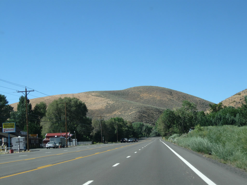
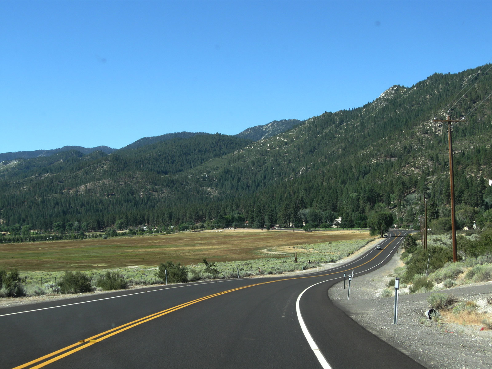
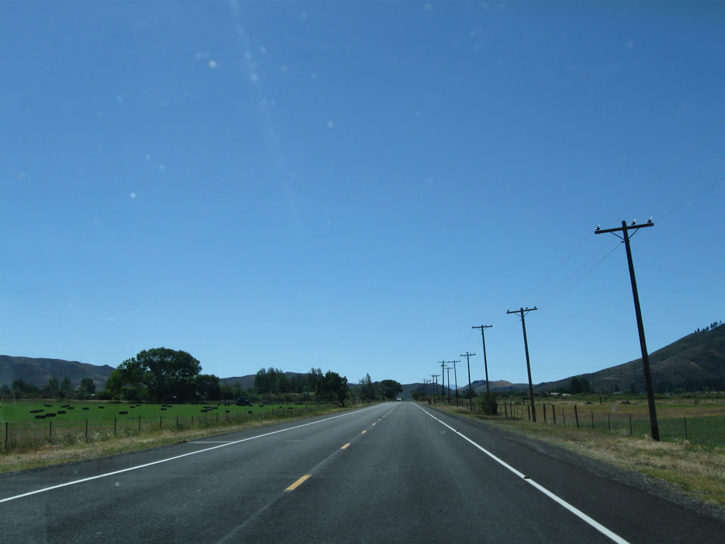
| This series of pictures follows U.S. 395 Alternate between Mt. Rose Junction and Pleasant Valley. Intersections are found at Rhodes Road, Cheyenne Drive, and Andrew Lane. Photos taken 09/05/10. |
|
|
|
|
|
| Back in 2009, we can see evidence of then-ongoing freeway construction on the west side of what is now U.S. 395 Alternate between Mt. Rose Junction and Washoe City. Photos taken 07/19/09 and 09/05/10. |
|
|
|
|
|
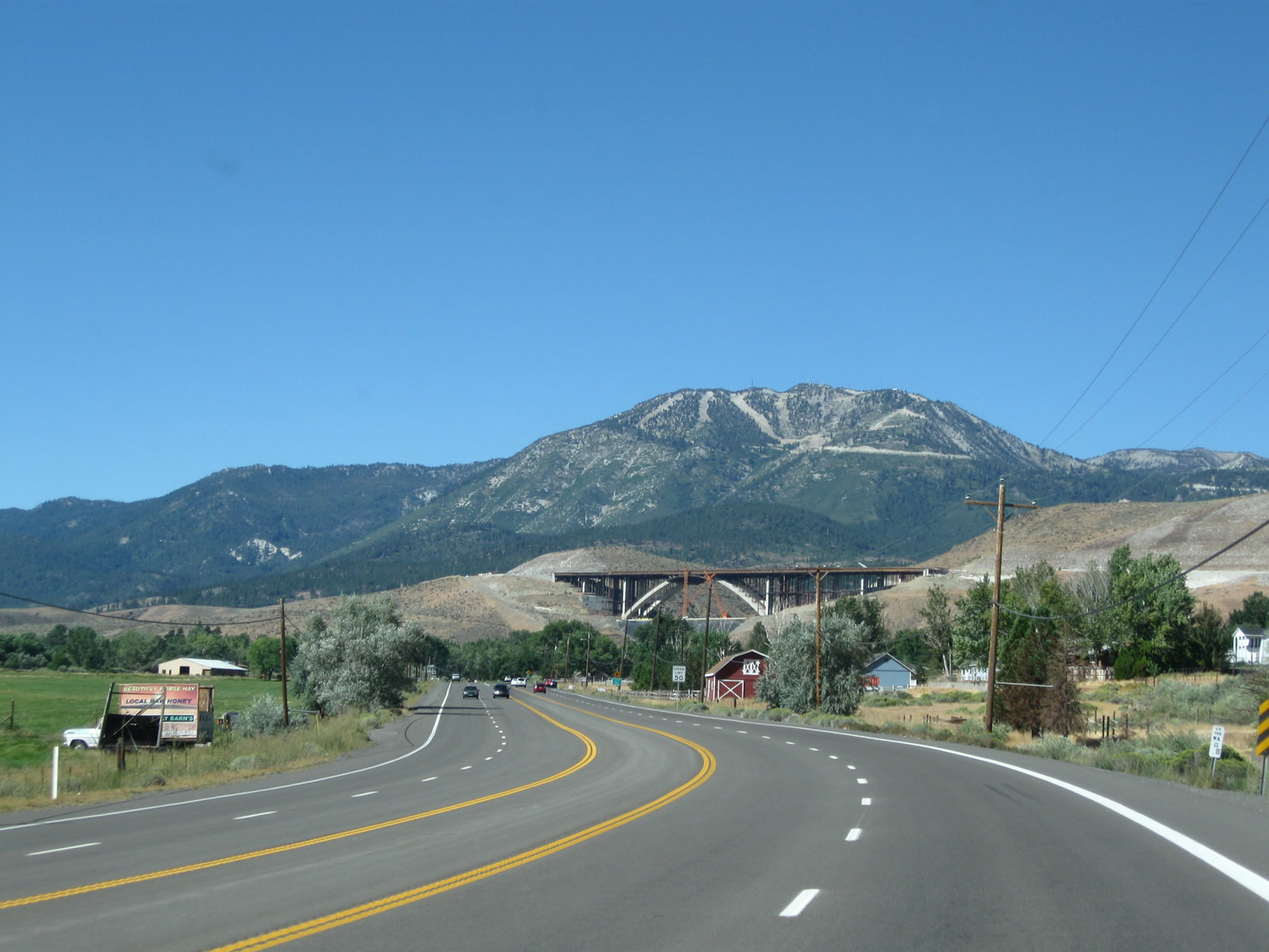
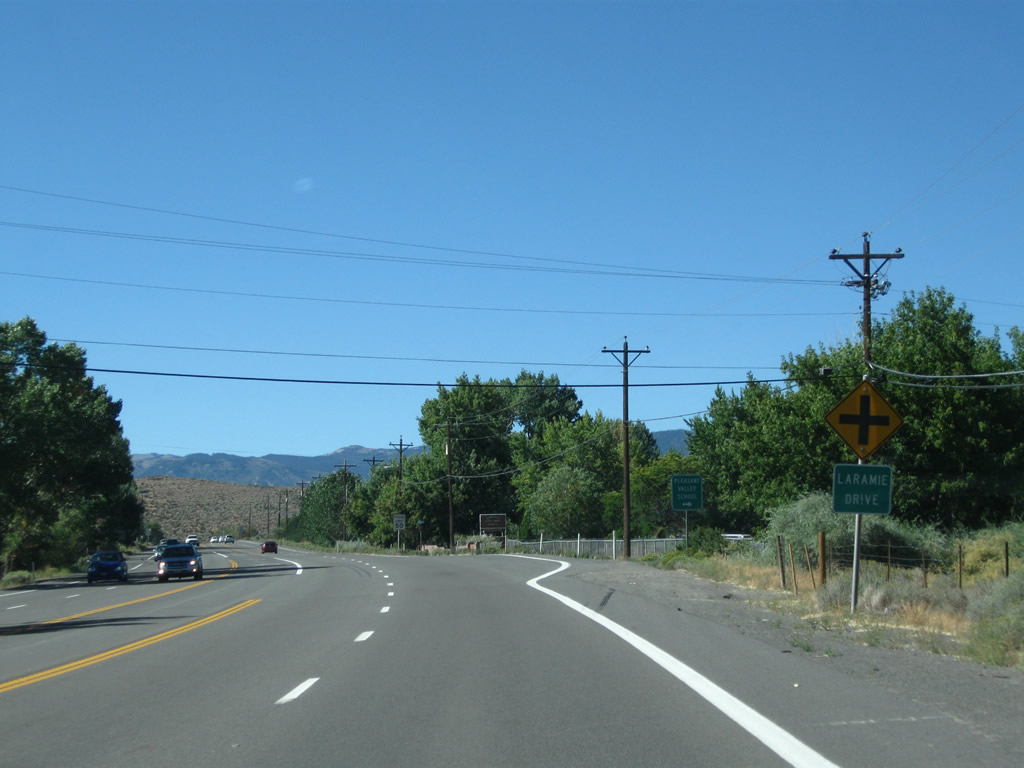
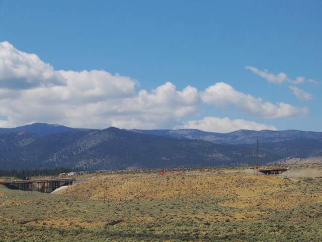
| Coming into Pleasant Valley, U.S. 395 Alternate sees the Galena Creek Bridge (Interstate 580) dominate the ridgeline in the background. Through here, U.S. 395 Alternate approaches and meets Pleasant Valley Drive, Ames Lane, and Laramie Drive. Photos taken 09/05/10. |
|
|
|
|
|
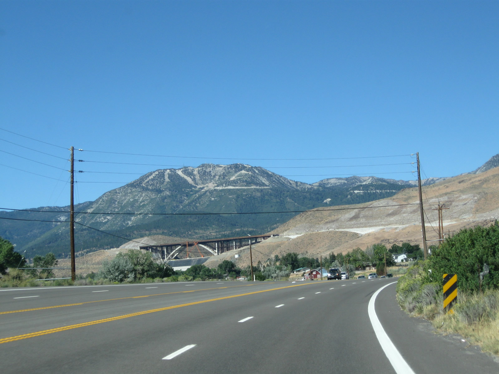
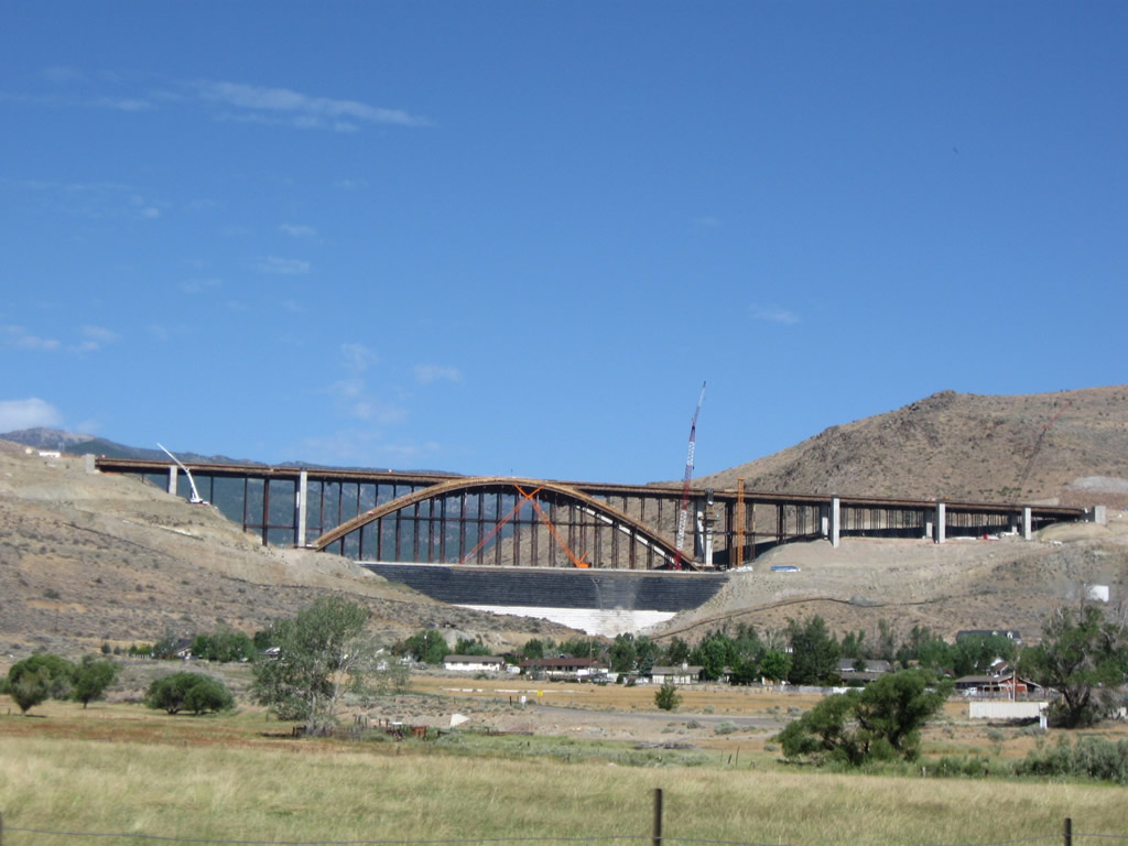
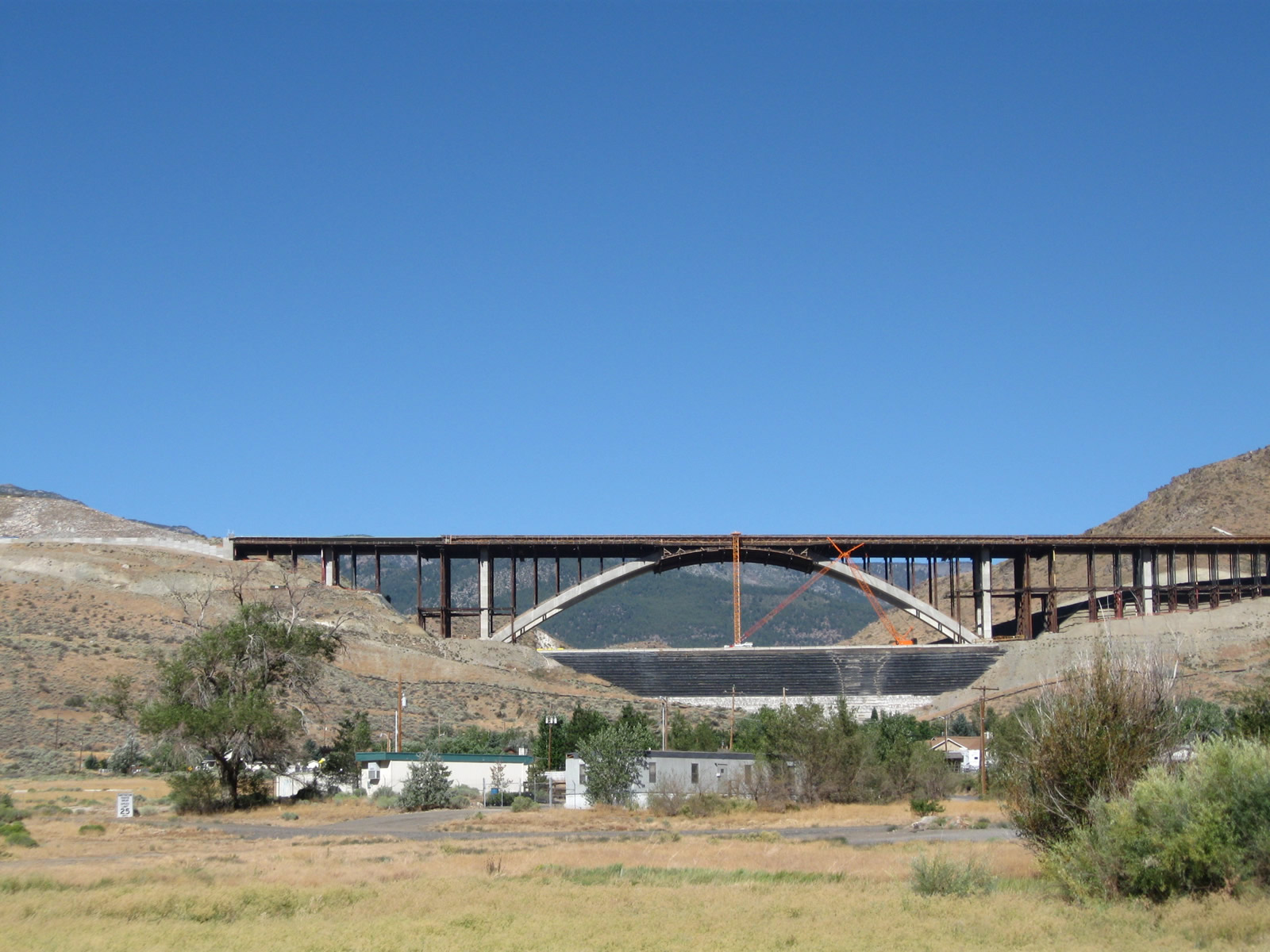
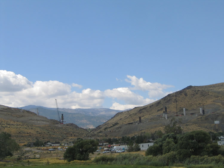
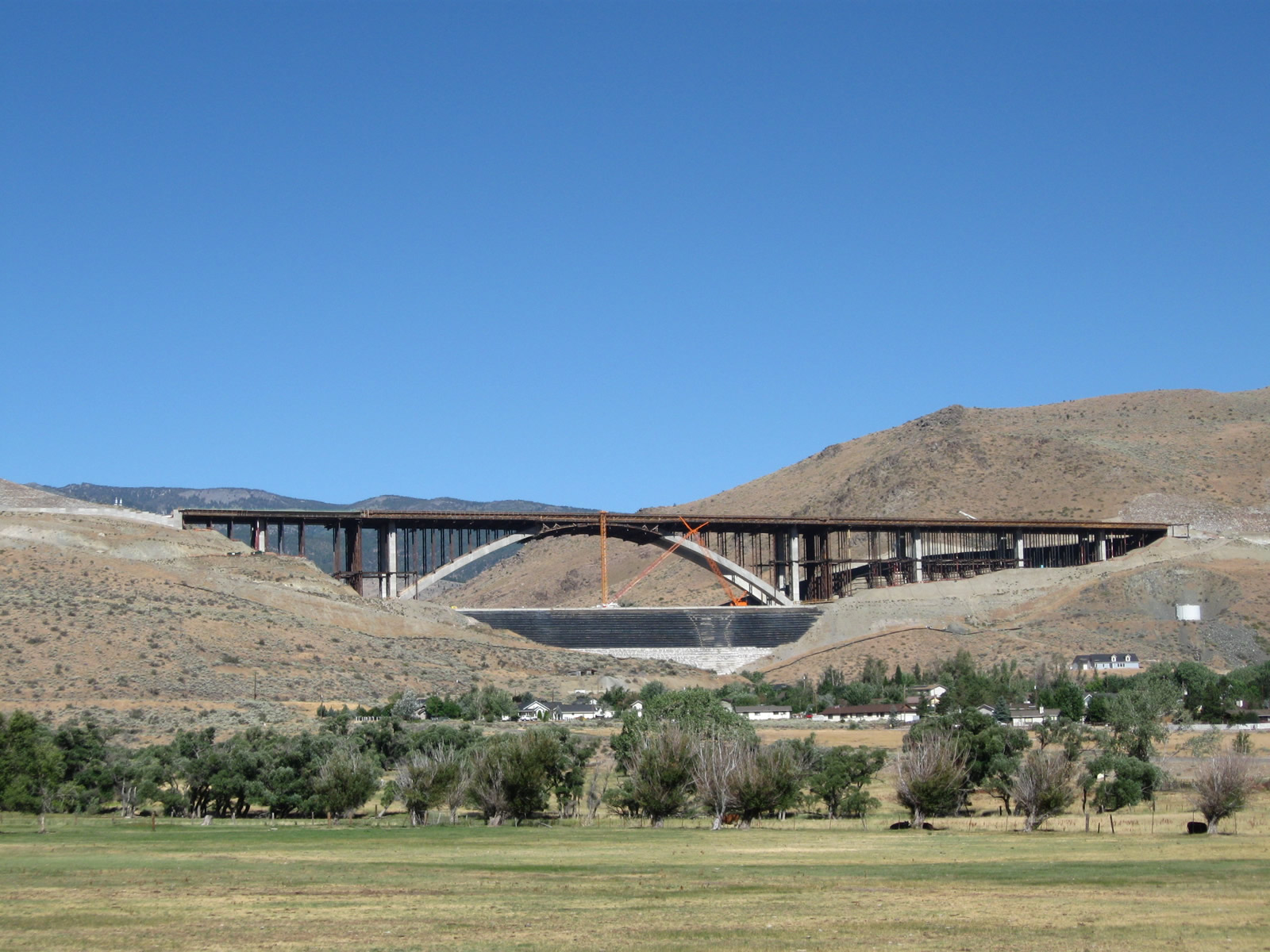
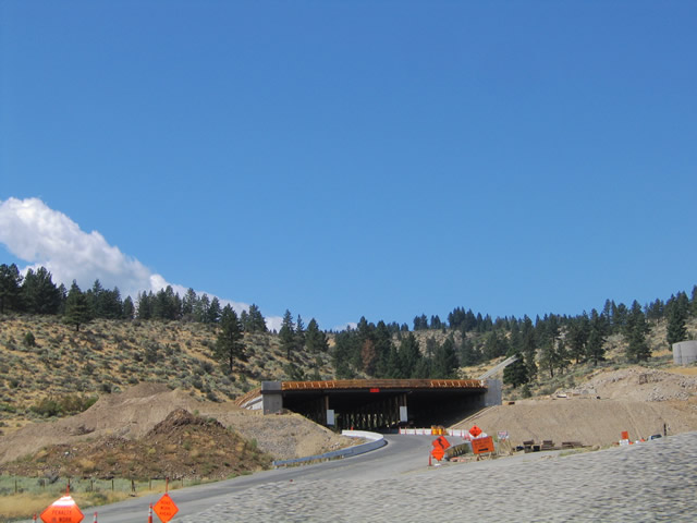
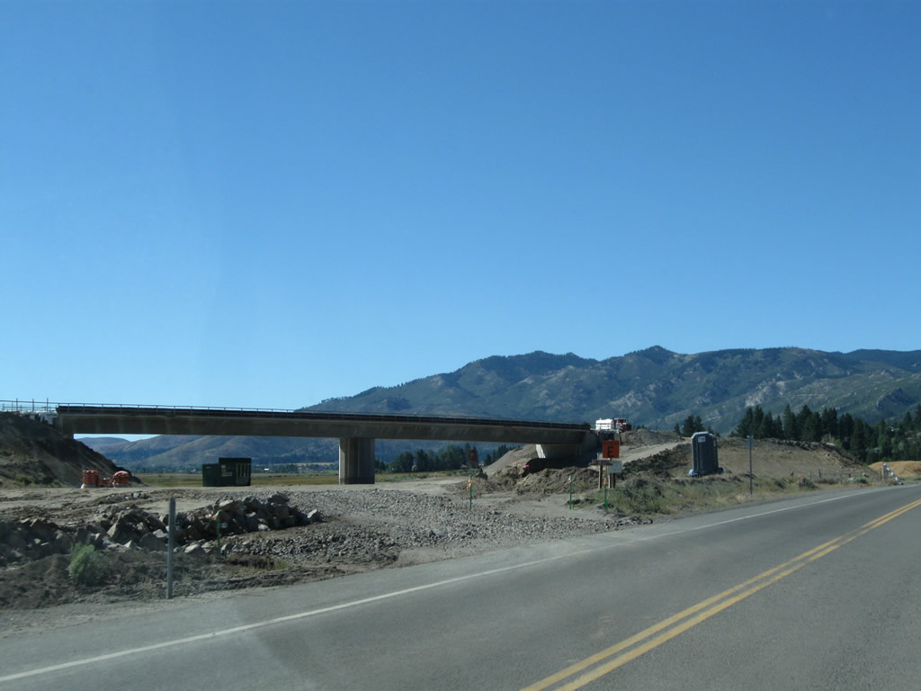
| This group of pictures showcases views of the future Interstate 580 and U.S. 395 freeway over Galena Creek west of the community of Pleasant Valley in several installments: 2005, 2009, and 2010. Construction was underway involving the building of a high-level concrete arch bridge over the Galena Creek; due to challenges with building in this location, the freeway construction project was delayed and did not wrap up until August 2012. Photos taken 09/05/10, 07/19/09, and 09/09/05. |
|
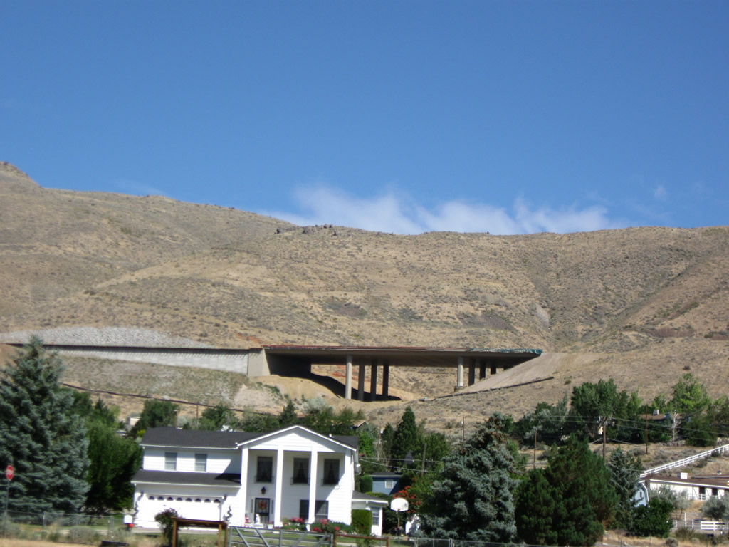
A final view of the Galena Creek arch bridge is visible from southbound U.S. 395 Alternate as the state route ascends out of Pleasant Valley. Photo taken 09/05/10. |
|
Looking westward, we again can see Interstate 580 construction of the Browns Creek Bridge and St. James Parkway grade separation in 2005. Photo taken 09/09/05. |
|
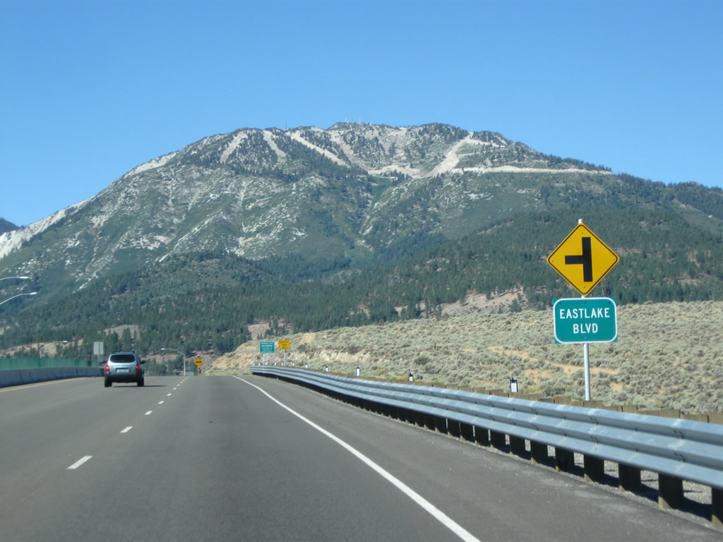
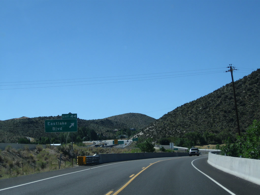
U.S. 395 southbound approaches former Nevada 428, which is Eastlake Boulevard. Turn south on Eastlake Boulevard to Lake Washoe State Park. Eastlake Boulevard travels east of nearby Lake Washoe between Washoe City and Lakeview Estates via New Washoe City. Slide Mountain (elevation 9,698 feet above sea level) rises in the distance. Trails associated with the Mt. Rose Ski Area are prevalent on the peak. Photo taken 09/09/05. |
|
|
|
The Washoe Hill Memorial lies at the Washoe Hill Summit (elevation 5,589 feet above sea level; the replacement sign must be incorrect, since the elevation of Washoe Hill is higher than that of Washoe City, and Washoe City sits at an elevtion of 5,035 feet above sea level) just west of the Eastlake Boulevard intersection. Southbound U.S. 395 Alternate enters Washoe City ahead. Photos taken 07/19/09 and 09/09/05. |
|
|
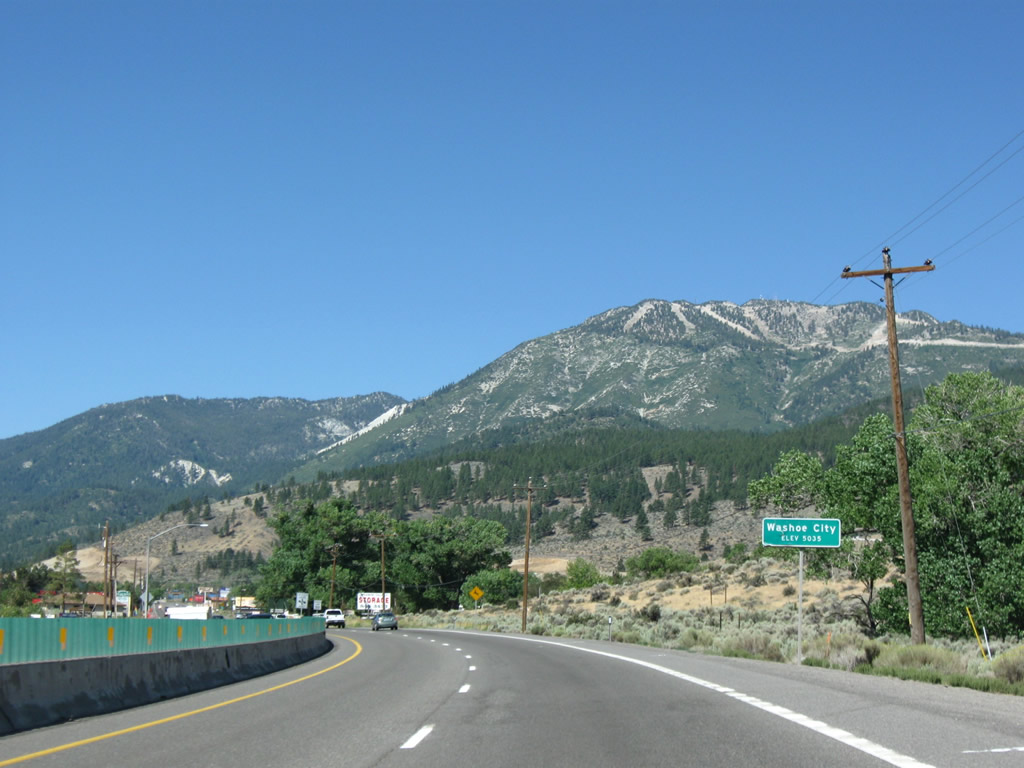
U.S. 395 Alternate enters the unincorporated community of Washoe City (elevation 5,035 feet above sea level) west of Little Washoe Lake. A series of intersections including this one with Corey Station Way reside along the four-lane highway through this stretch. Photos taken 07/19/09 and 09/09/05. |
|
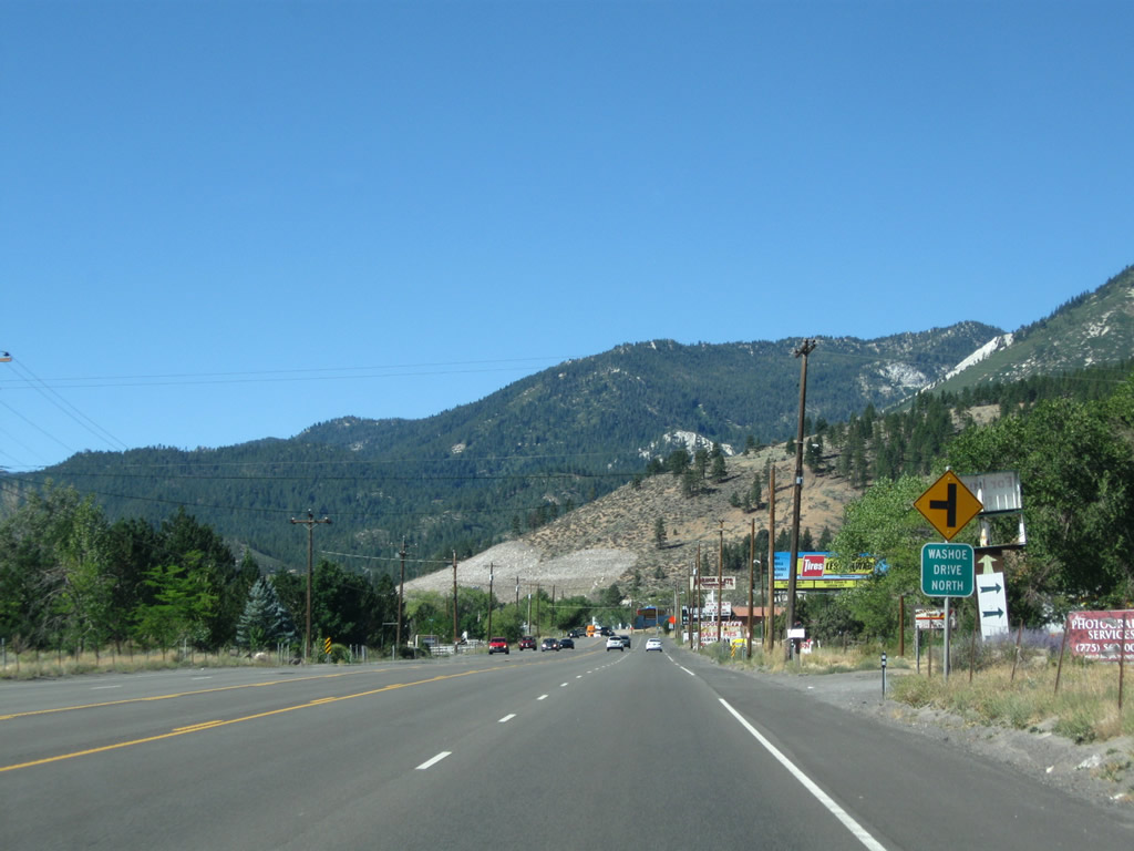
Soon thereafter, southbound U.S. 395 Alternate approaches Washoe Drive North. Photo taken 09/05/10. |
|
|
Southbound U.S. 395 Alternate meets Parker Canyon Road (formerly Corey Canyon Way) at this intersection. Photos taken 09/05/10 and 09/09/05. |
|
|
This view looks west on Corey Canyon Way toward the new Parker Ranch Road and Interstate 580 freeway west of U.S. 395 at Washoe City. Parker Ranch Road will pass underneath the new freeway and tie into the newly built Kelly Canyon Road and Jeffrey Pines Road. Photos taken 07/19/09 and 09/09/05. |
|
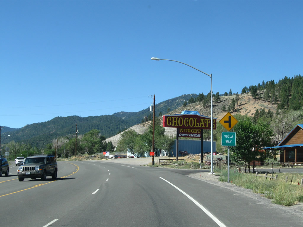
Soon thereafter, southbound U.S. 395 Alternate approaches Viola Way. Photo taken 09/05/10. |
|
|
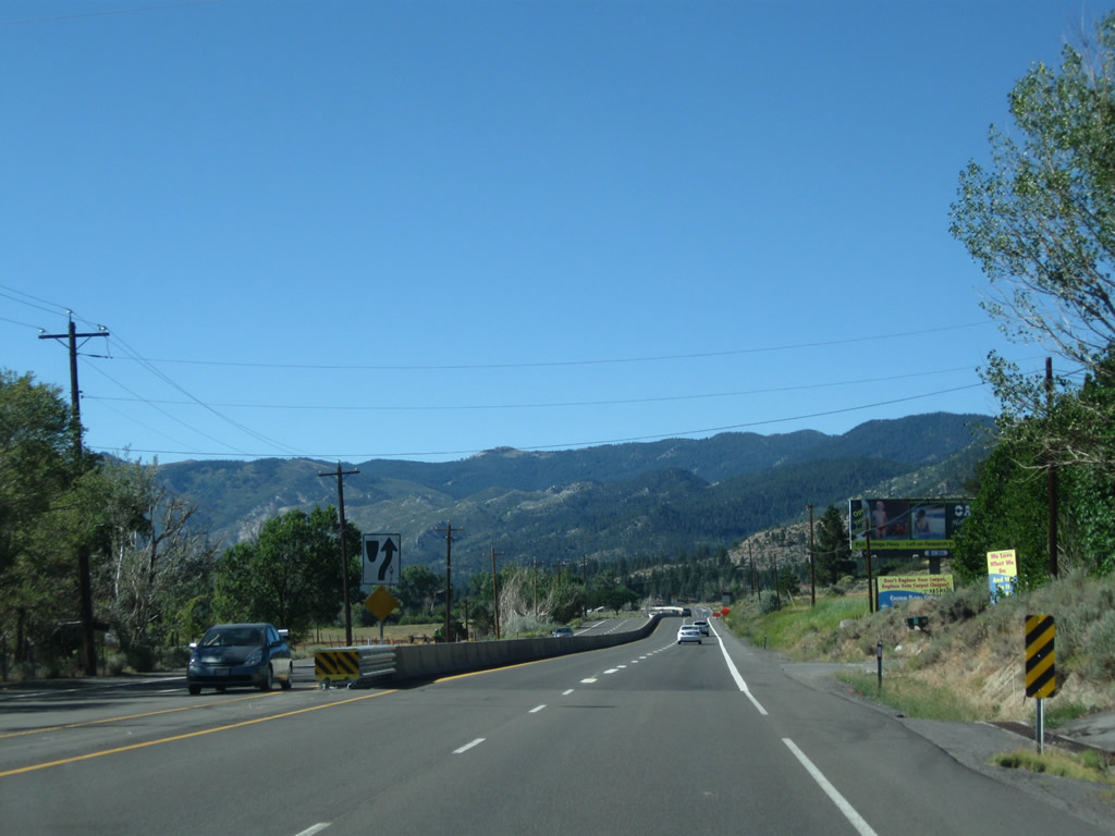
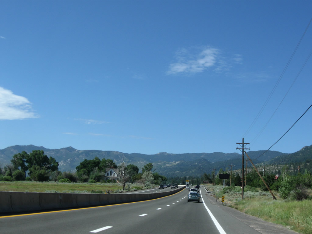
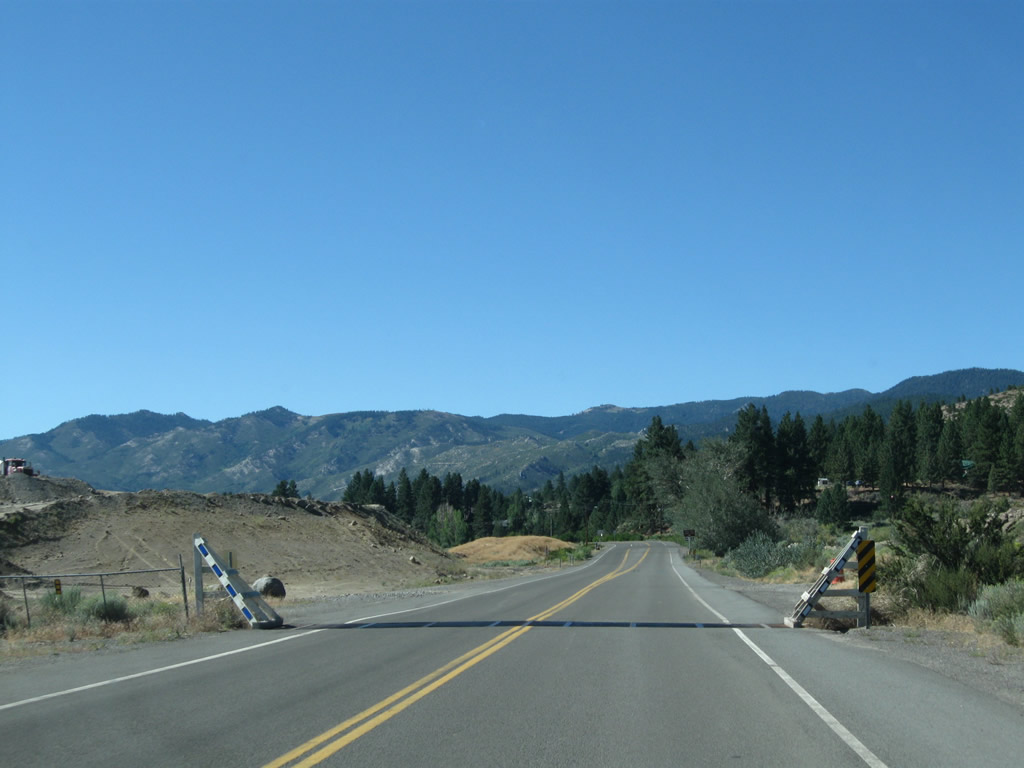
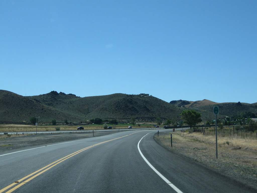
U.S. 395 Alternate again widens out to expressway configuration with a jersey barrier dividing the two directions of traffic. Photos taken 09/05/10 and 07/19/09. |
|
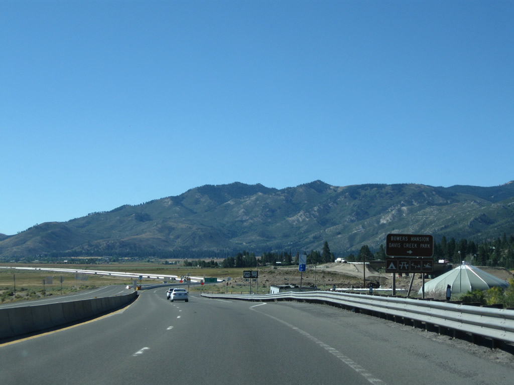
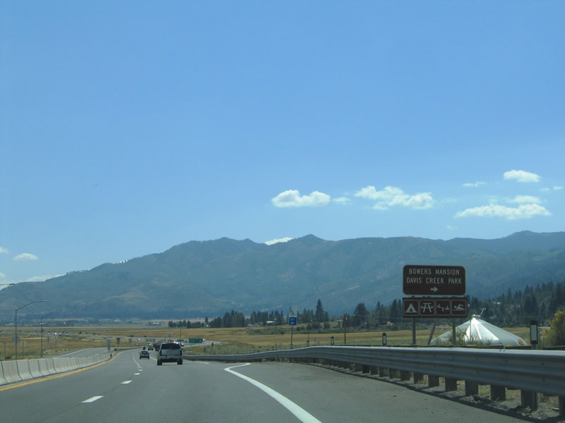
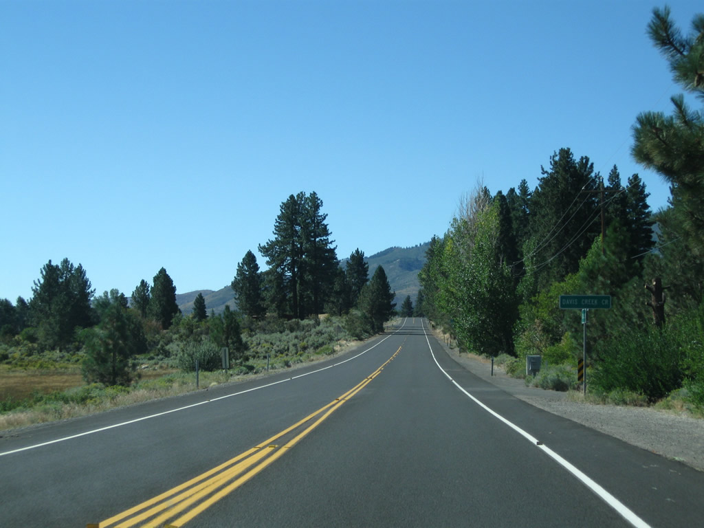
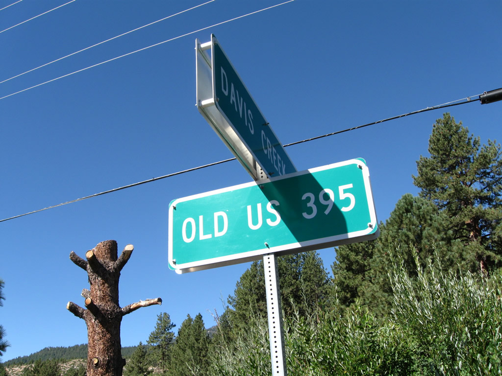
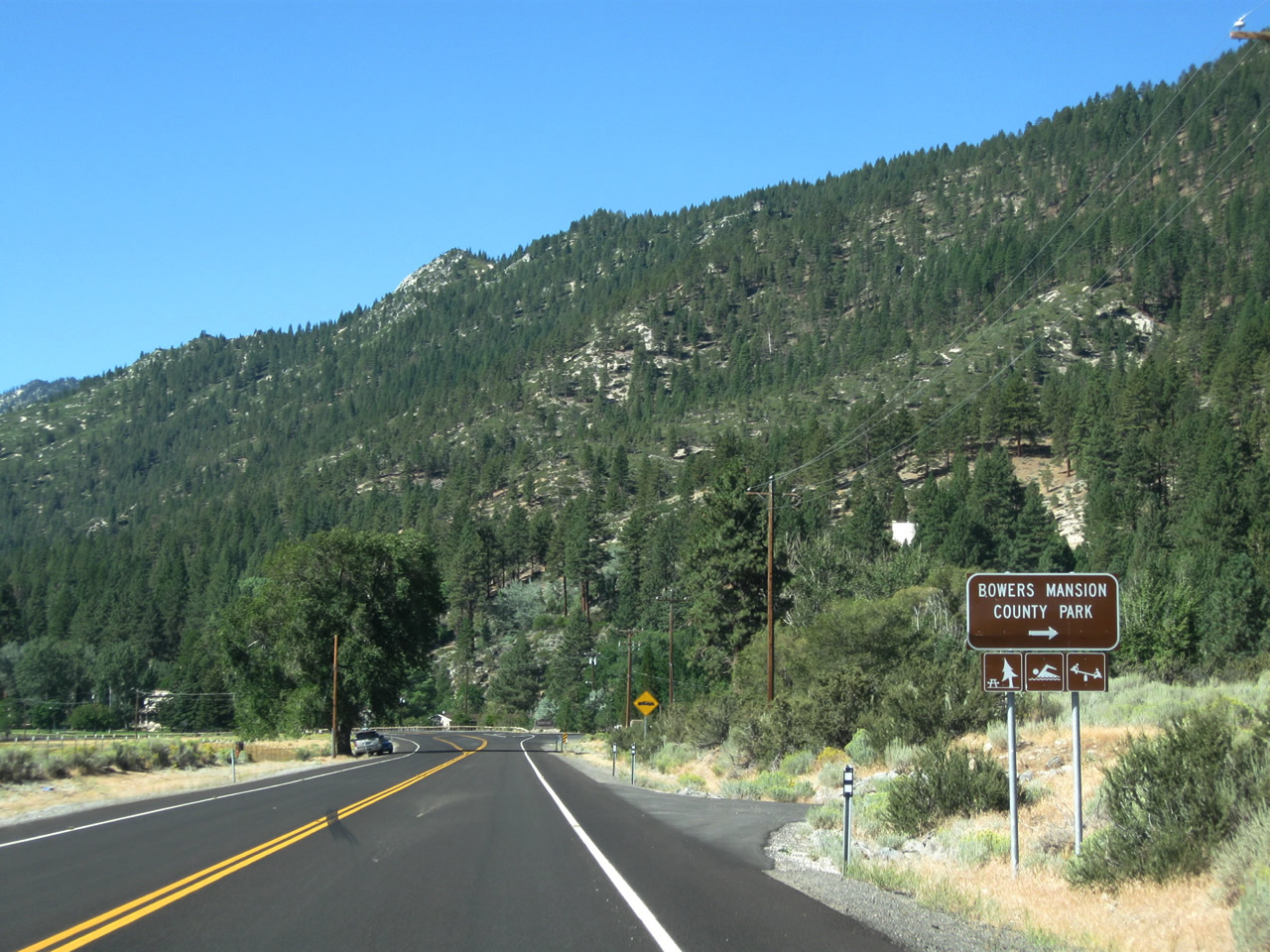
Prior to the freeway construction (which significantly altered this area), old U.S. 395 used to approach an intersection with Nevada 429 (Old U.S. Highway 395) near Washoe City. This is now along U.S. 395 Alternate, which now directly transitions onto Nevada 429 (we'll get pictures of this at a later time). U.S. 395 Alternate and former Nevada 429 loop west of the Washoe Lake Freeway through Franktown. The state route provides access to Bowers Mansion and Davis Creek Park. Photo taken 07/19/09. |
|
|
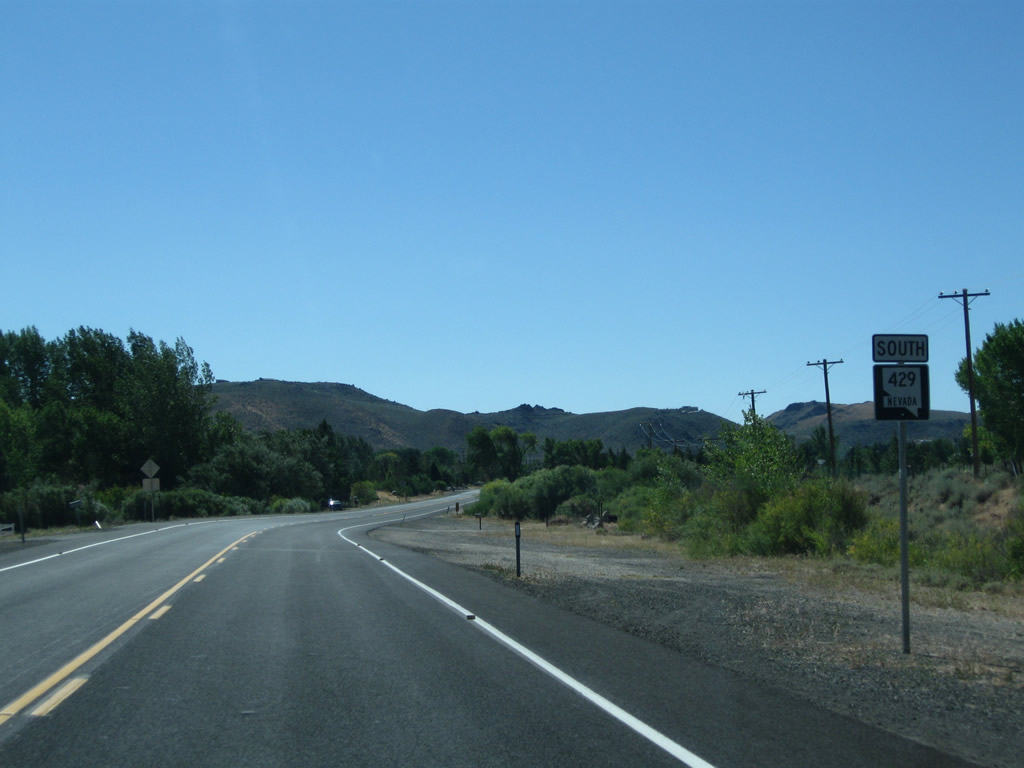
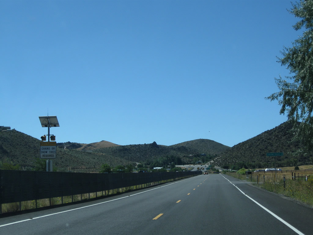
Variable message signs advise high profile vehicles of wind advisories on the upcoming Washoe Lake Freeway. When winds are too strong, over-sized vehicles must travel south along Nevada 429 (Old U.S. Highway 395) between Washoe City and Lakeview. Photos taken 09/05/10 and 07/19/09. |
|
Northbound U.S. 395 Alternate approaches the connection with Interstate 580 and U.S. 395 (Exit 50). Ahead, U.S. 395 Alternate will follow Old U.S. Highway 395 and former Nevada 429 to connect with Davis Creek County Park and Bowers Mansion Regional Park are about two miles from here. Photo taken 09/05/10. |
|
|
U.S. 395 Alternate (which is also designated as Old U.S. Highway 395 and was formerly Nevada 429) skirts the eastern fringes of the Sierra Nevada west of Lake Washoe. Look for changes here with the recent construction of Exit 50 with Interstate 580 here. Photos taken 09/05/10 and 09/09/05. |
|
|
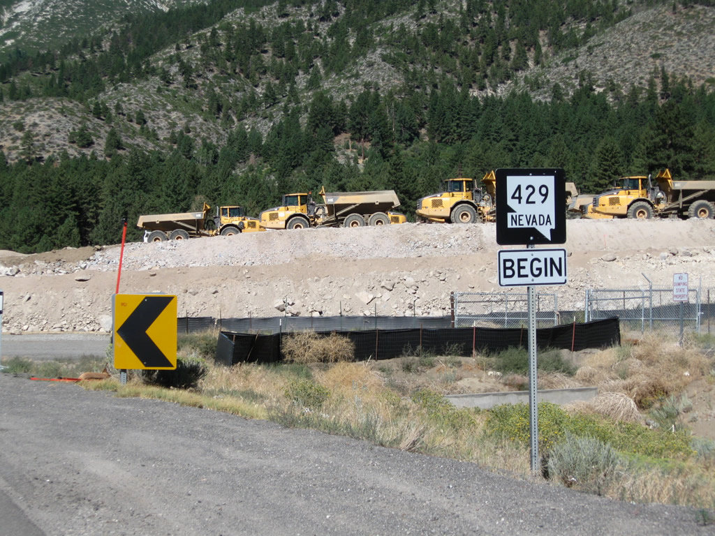
A single Nevada 429 trailblazer shield was posted on southbound U.S. 395 Alternate at the intersection; this sign has likely been removed due to roadway realignment and construction of Exit 50 here. Photos taken 07/19/09 and 09/05/10. |
|
|
An at-grade intersection used to serve as the junction between the old alignment of U.S. 395 and former Nevada 429, which is also known as Old U.S. Highway 395. This at-grade intersection has now been converted to a diamond interchange (Exit 50). With the new interchange, motorists can follow U.S. 395 Alternate directly through this interchange and connect onto Nevada 429. Photos taken 09/05/10 and 09/09/05. |
| U.S. 395 Alternate and Former Nevada 429/Old U.S. Highway 395 south |
|---|
|
|
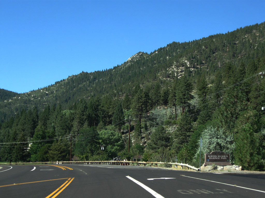
When these pictures were taken in 2010, Old U.S. Highway 395 toward Bowers Mansion was designated as Nevada 429. A begin Nevada 429 shield used to be posted after the former at-grade intersection with U.S. 395. With the construction of the Interstate 580 freeway, a diamond interchange replaced this intersection and resulted in major changes to the roadway alignment through here, making U.S. 395/Nevada 430 connect directly with Nevada 429 and resulting in a successful application to AASHTO to renumber the old U.S. 395 route as U.S. 395 Alternate. Photos taken 09/05/10. |
|
|
Back in 2010, this view from former Nevada 429 showed the location of the then-under construction interchange between Interstate 580/U.S. 395 and U.S. 395 Alternate. The Nevada 429 roadway has since been realigned to connect to this diamond interchange, which is located near Casey Ranch Road. Photos taken 09/05/10. |
|
|
Leaving the interchange with Interstate 580/U.S. 395, southbound U.S. 395 Alternate and former Nevada 429 proceed south to Davis Creek County Park. Photos taken 09/05/10. |
|
|
Southbound U.S. 395 Alternate meets Davis Creek Road. Photos taken 09/05/10. |
|
|
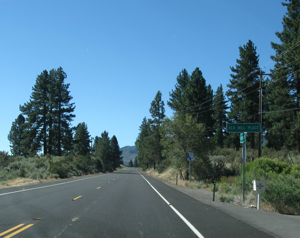
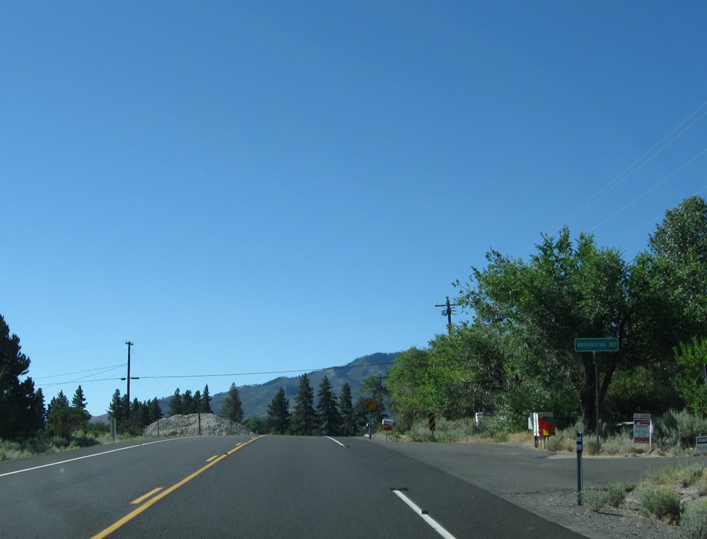
U.S. 395 Alternate next approaches Old Mill Place and Maranatha Road. Photos taken 09/05/10. |
|
|
|
|
|
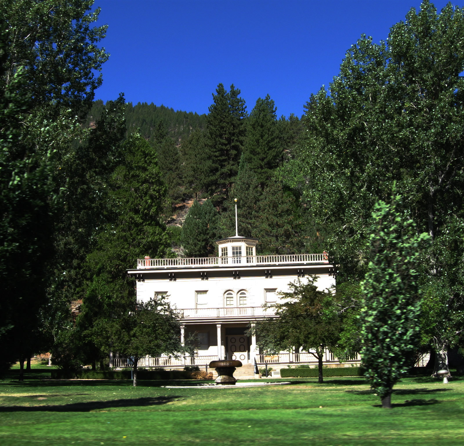
| Curving southwest, U.S. 395 Alternate and former Nevada 429 continues toward Bowers Mansion, a historic mansion built in 1863 during the Comstock Lode mining boom of that era. The site is part of the National Register of Historic Places. Wooden guardrail lines the western edge of the state route as we pass by the mansion grounds and Bowers Mansion Regional Park. Photos taken 09/05/10. |
|
|
|
|
|
|
|
|
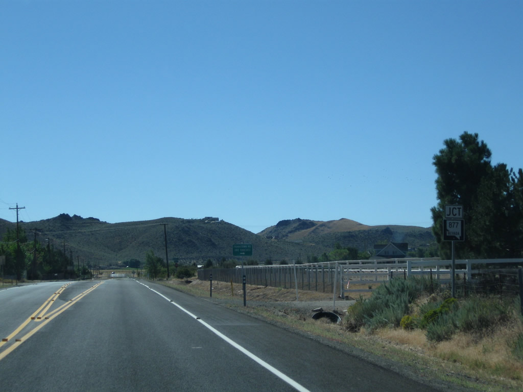
After passing Bowers Mansion, U.S. 395 Alternate and former Nevada 429 approach the intersection with Nevada 877/Franktown Road. This state route stays on the western edge of the Washoe Valley adjacent to the base of the mountains. A white reference marker for Nevada 429 used to be posted at this intersection; it has been replaced with one for 395A. Photos taken 09/05/10. |
|
|
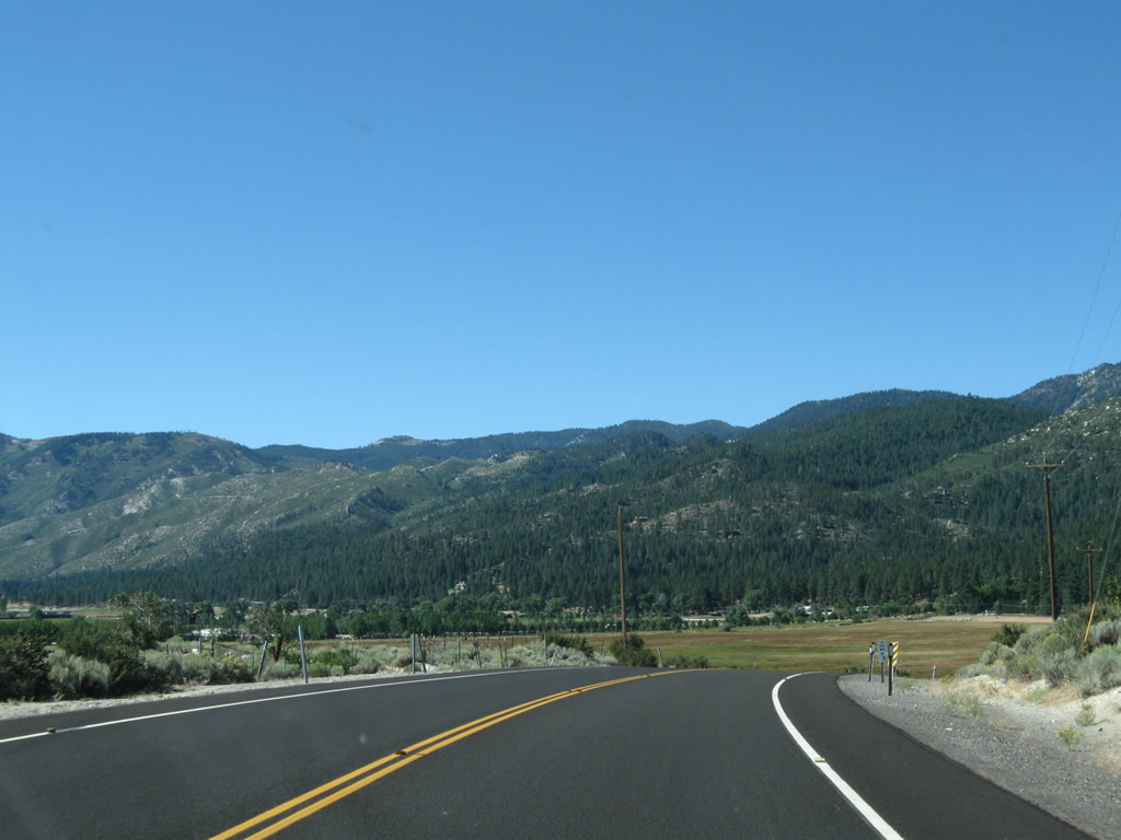
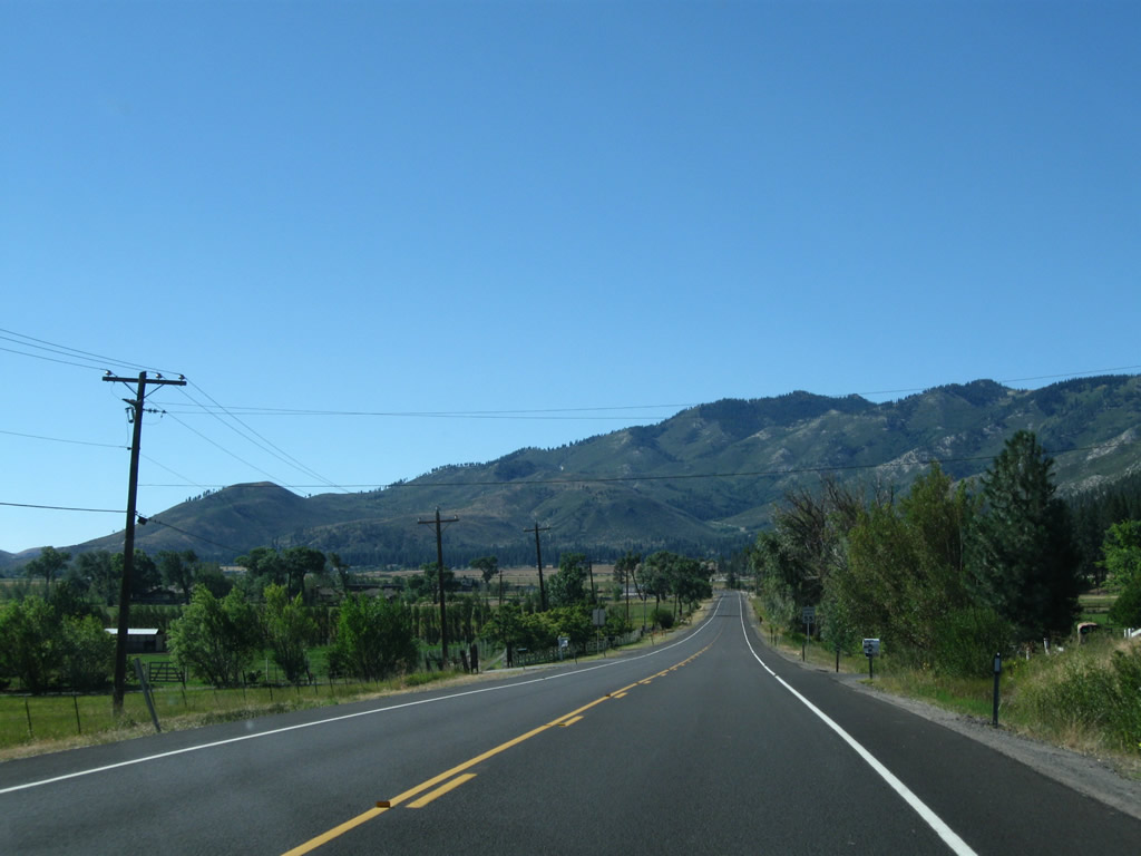
After the Nevada 877/Franktown Road intersection, U.S. 395 Alternate proceeds south in a nearly straight line through the Washoe Valley, while Nevada 877 parallels U.S. 395 Alternate to the west. U.S. 395 Alternate, Nevada 877, and U.S. 395/Interstate 580 will all connect back together toward the south end of the valley. Photos taken 09/05/10. |
|
|
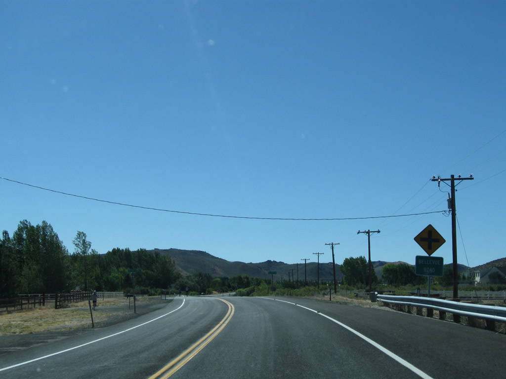
U.S. 395 Alternate (former Nevada 429) proceeds south through the western Washoe Valley and approaches Bellevue Road. Photos taken 09/05/10. |
|
|
Southbound U.S. 395 Alternate (former Nevada 429) continues south of Bellevue Road. Photos taken 09/05/10. |
|
|
Soon thereafter, U.S. 395 Alternate (former Nevada 429) again approaches and meets Nevada 877/Franktown Road. Photos taken 09/05/10. |
|
|
Swinging southeast, U.S. 395 Alternate (former Nevada 429) comes alongside Interstate 580 and U.S. 395, becoming a frontage road for the final distance until reaching the interchange between the two routes. Photos taken 09/05/10. |
|
|
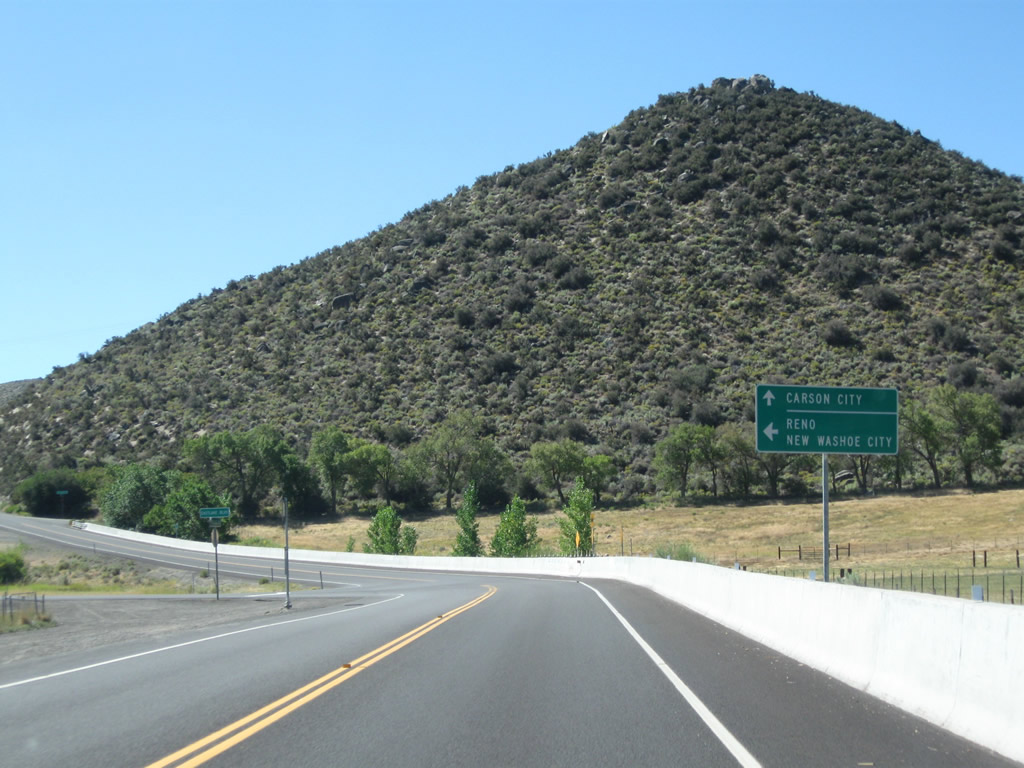
U.S. 395 Alternate (former Nevada 429) and Interstate 580/U.S. 395 will connect at Exit 46, Eastlake Boulevard. Turn left at Eastlake Boulevard (former Nevada 428) to join Interstate 580 and U.S. 395 north to Reno, or continue straight ahead for Interstate 580 and U.S. 395 south to Carson City. Photos taken 09/05/10. |
|
|
U.S. 395 Alternate and former Nevada 429 reach their southern terminus at the point where the frontage road merges onto Interstate 580 and U.S. 395 south. An end shield was in place in 2010 for Nevada 429. Photos taken 09/05/10. |
Page Updated July 18, 2012.