
Delaware Route 1 South

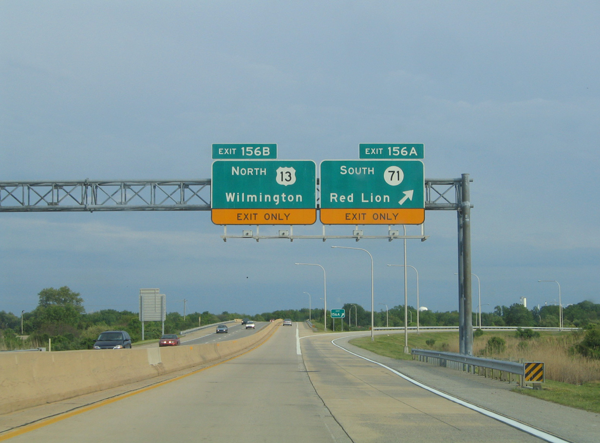
Taking Exit 156, traffic partitioned for SR 71 and U.S. 13 north below these replaced guide signs. 05/15/05
12/30/16
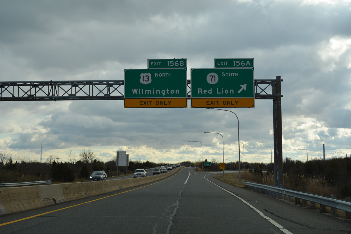
Removed SR 71 shield along Exit 156 A. 12/30/16
U.S. 13/SR 1 southbound crossing Red Lion Creek. 03/24/04
Governor Lea Road and School House Road were severed with the completion of SR 1. A new overpass was built to link the two roads by way of Lower Twin Lane Road and the original Dupont Highway. 08/05/07
U.S. 13/SR 1 southbound one half mile north of their split near St. Georges. 08/05/07
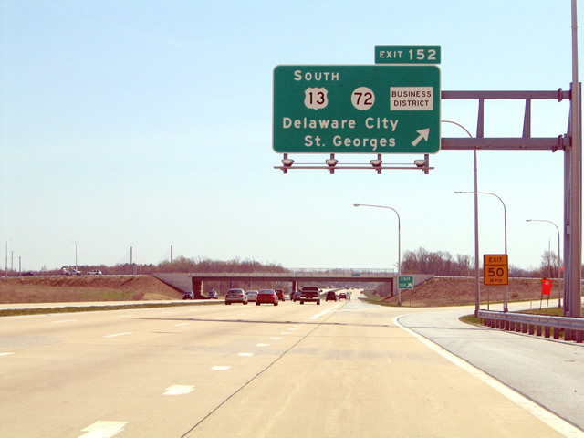
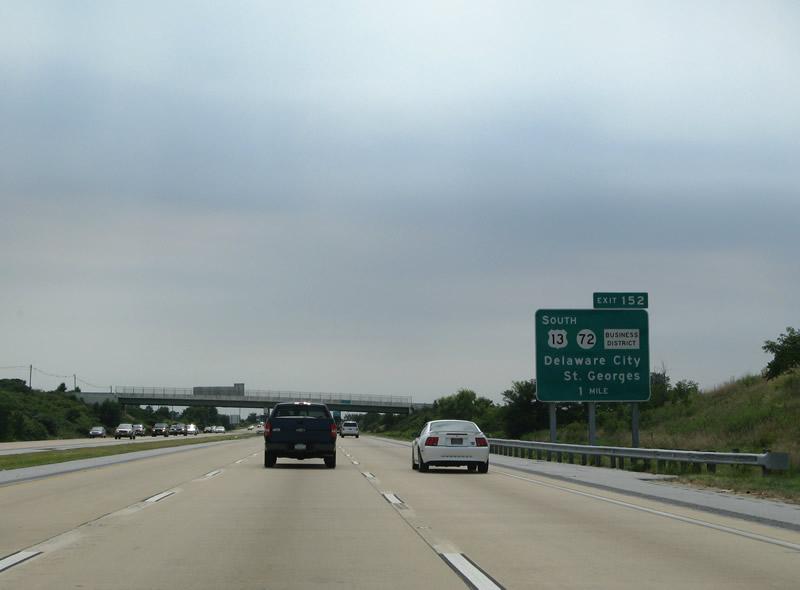
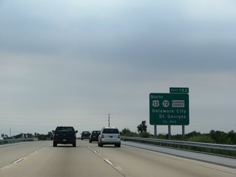
The business district banner for Exit 152 was added at the urging of local business owners in St. Georges bypassed by construction of the C & D Canal Bridge on SR 1. This sign was replaced by 2007. 04/17/04
Taking the off-ramp (Exit 152) to SR 72 (Wrangle Hill Road from SR 1 south. 04/17/04
Construction in 2016 converted the diamond interchange joining SR 72 (Wrangle Hill Road), U.S. 13 and SR 1 into a DDI. 06/18/12
SR 72 (Wrangle Hill Road) north at the original left turn for SR 1 south to Odessa. 06/18/12
An exit to South St. Georges was added in 1999 to keep the Chesapeake & Canal Bridge as a toll free facility. Before the Odessa Bypass section of SR 1 opened, traffic directly merged onto U.S. 13 (Dupont Highway). 08/05/07
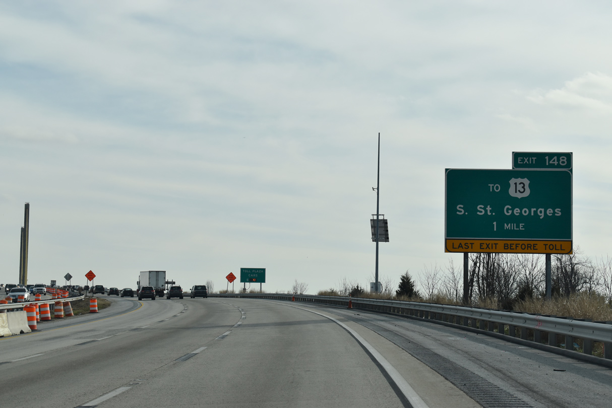
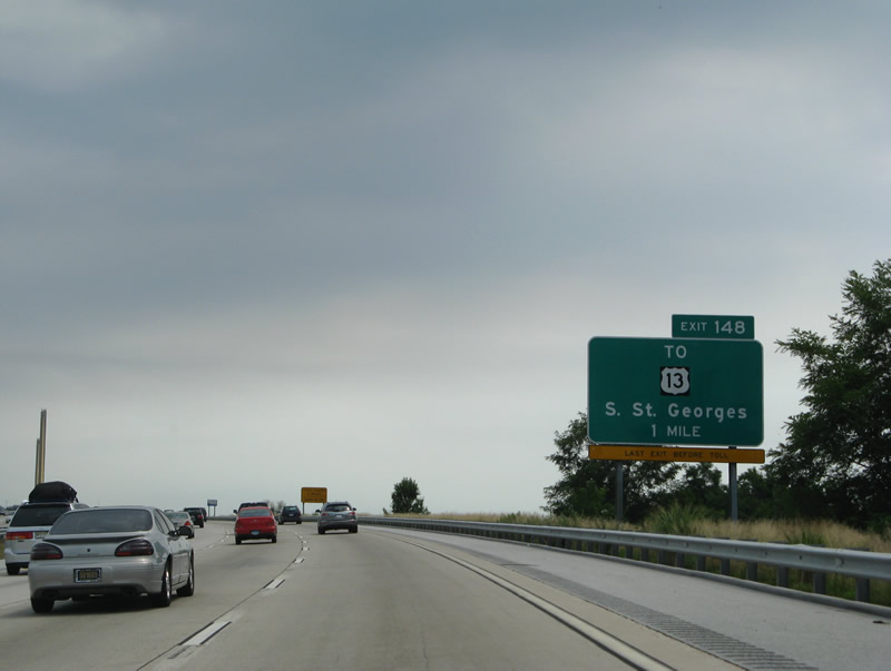
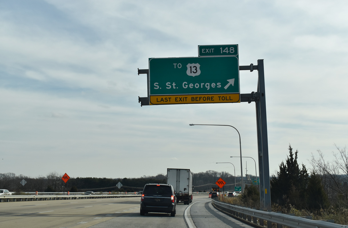
A sign bridge for U.S. 301 (First Responders Memorial Highway) replaced this ground level sign for Exit 148. 12/30/18
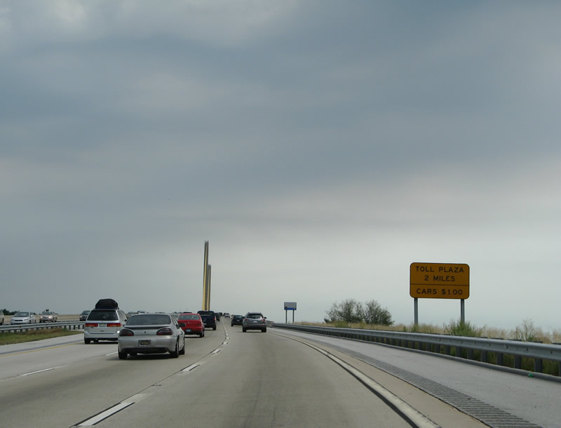
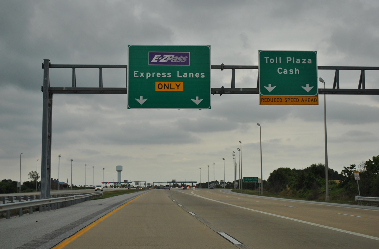
The Biddles Corner toll plaza levied a $1.00 toll to all passenger vehicles until 2007. 08/05/07
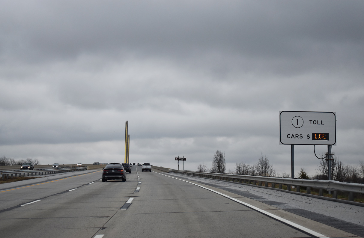
The toll schedule sign with the variable message board at the Roth Bridge on SR 1 southbound was replaced in Fall 2022. 12/25/20
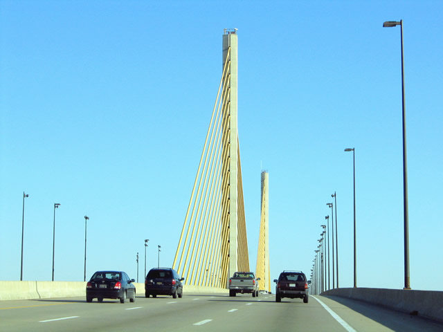
The Chesapeake and Canal Bridge lined with street lights. 03/24/04
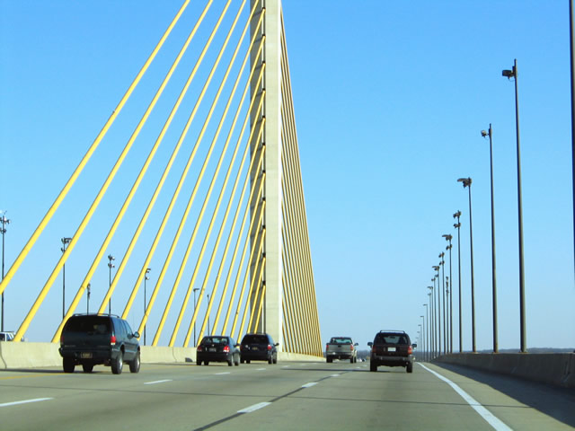
Roadway lighting across the C & D Canal Bridge were removed in 2005. 03/24/04
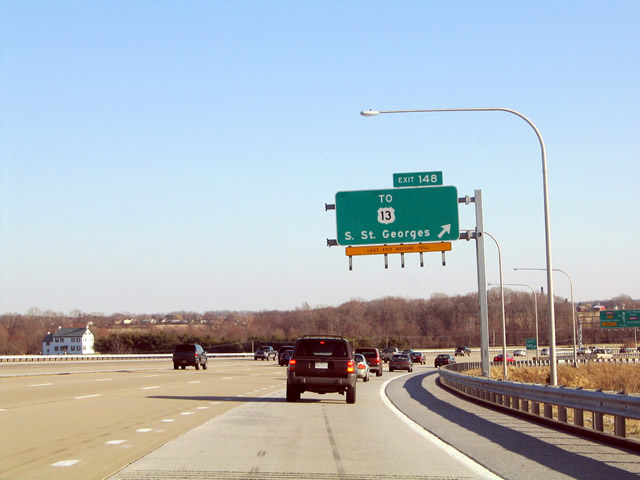
Exit 148 descends from SR 1 south as a commuter ramp for suburban areas between Boyds Corner and Mount Pleasant. 03/24/04
This sign was replaced in kind on a new sign bridge added in 2018 for U.S. 301 south (Exit 147). 12/30/18
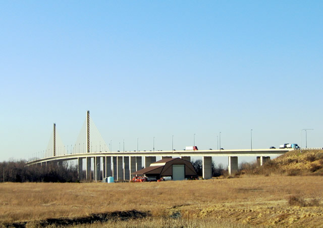
Exit 148 turns motorists northward alongside the Chesapeake and Delaware Canal Bridge to Lorewood Grove Road. Lorewood Grove Road was slightly realigned to accommodate the bridge supports. 03/24/04
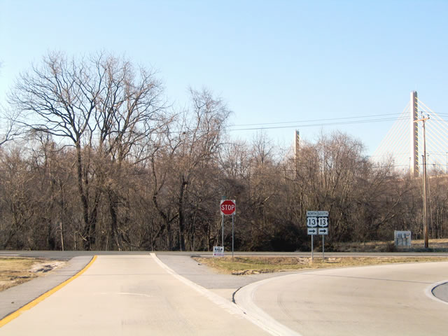
Lorewood Grove Road curves southeast to merge with U.S. 13 (Dupont Highway) south. An access road passes under the adjacent St. Georges Bridge to Main Street at South St. Georges as well. 03/24/04
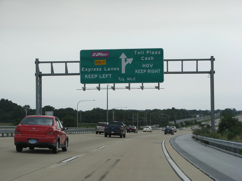
Replaced overhead for the Biddles Corner toll plaza. 08/05/07

The overhead for the Biddles Corner Toll Plaza was replaced with an APL during construction of the toll road for U.S. 301 at Exit 147. 06/18/12
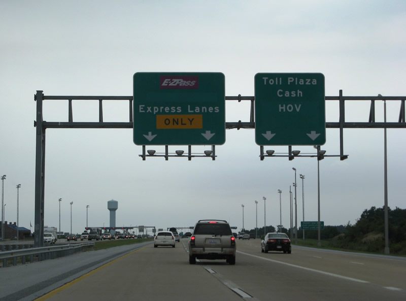
Overheads at the separation of traffic for the E-ZPass express lanes and the cash lanes at the Biddles Corner toll plaza were also replaced after 2007. 08/05/07
The wye interchange where U.S. 301 south splits from SR 1 was constructed just north of the Biddles Corner Toll Plaza. 06/18/12
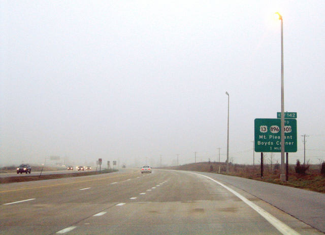
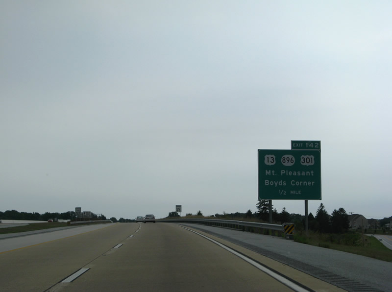
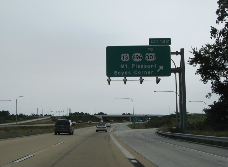
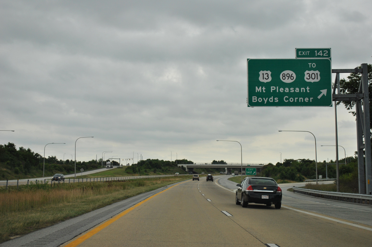
The replacement for this Exit 142 sign omitted the word TO for U.S. 301. Prior to 1993, U.S. 301 ran south alongside U.S. 13 to Boyds Corner and west to Mt. Pleasant along Boyds Corner Road. 04/13/04

06/18/12
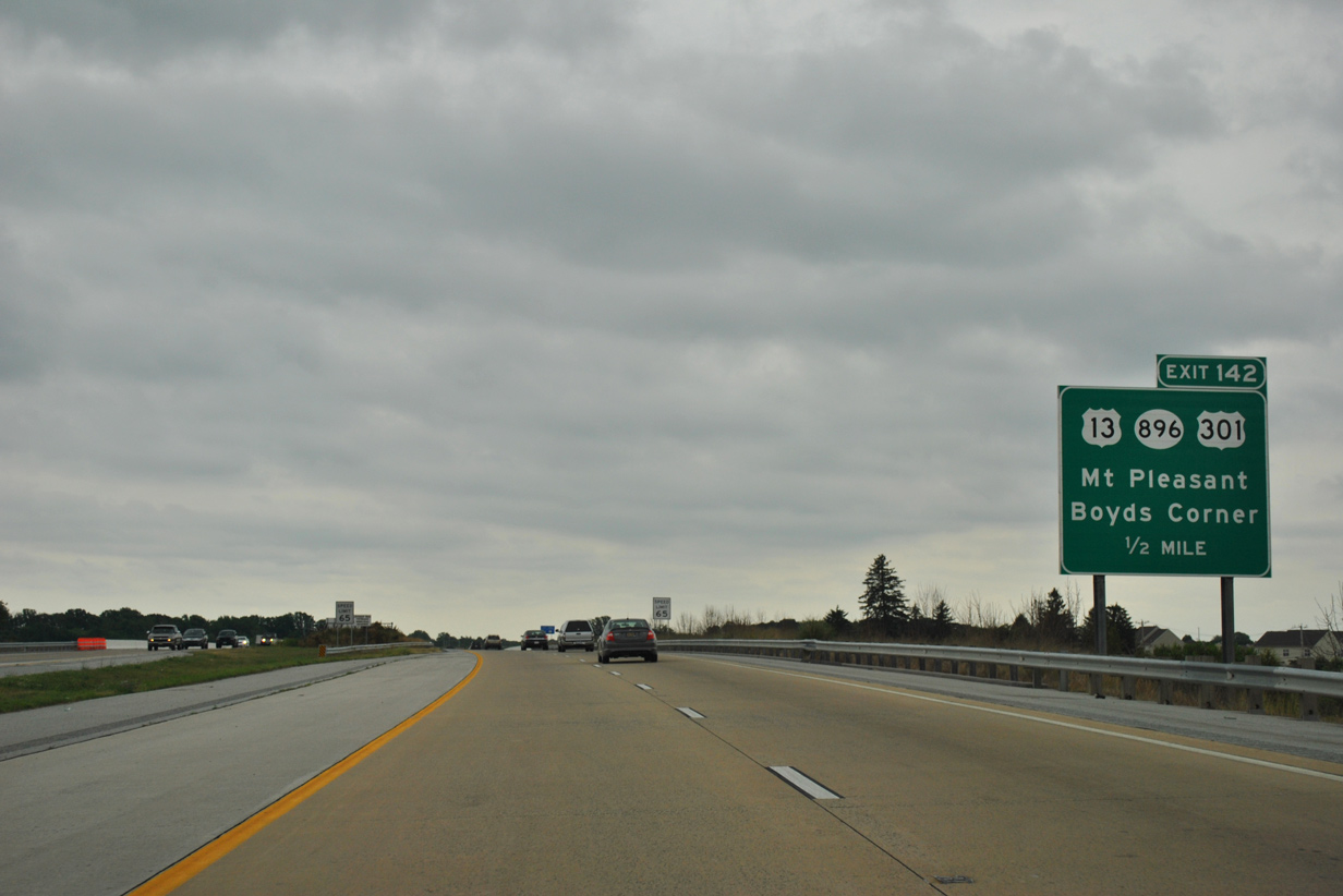
Another erroneous reference of U.S. 301 for Exit 142. U.S. 301 was realigned onto a toll road southwest from SR 1 in 2019. 08/05/07
06/18/12
Entering the diamond interchange with Exit 142. This overhead for U.S. 13, SR 896 and U.S. 301 was replaced by 2008. 08/05/07
06/18/12
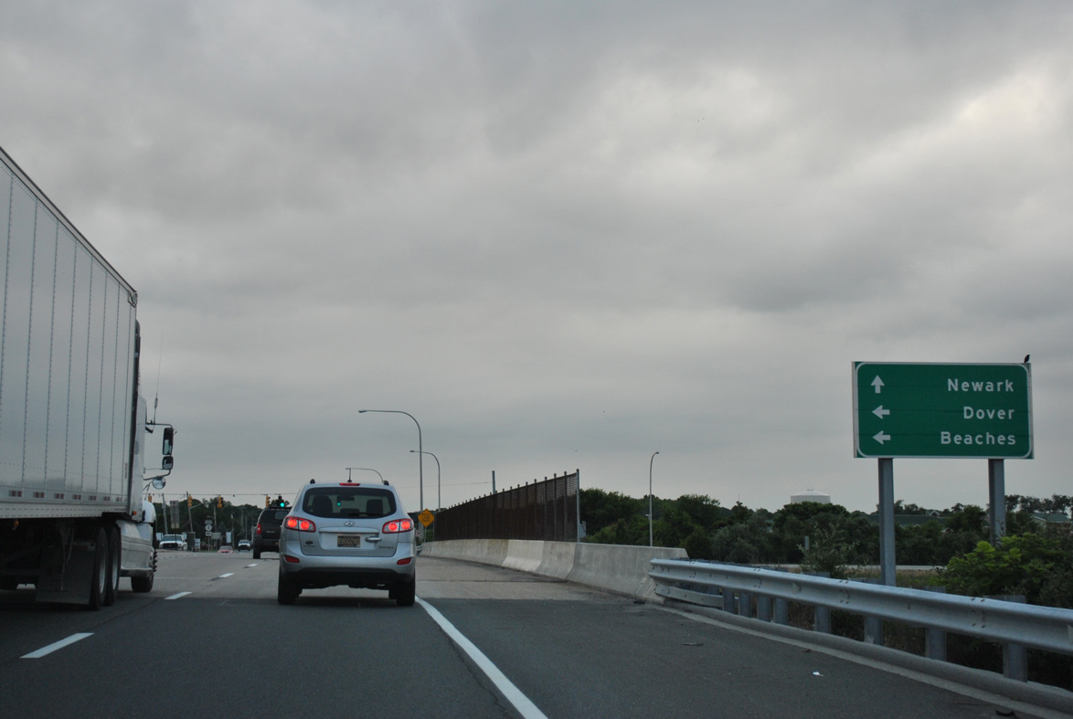
Beaches on this distance sign posted south of Exit 142 referenced the intersection with SR 1A outside Rehoboth Beach. 08/05/07
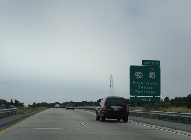
Exit 136 signs were modified to add Townsend in place of the distance to SR 299. 08/05/07
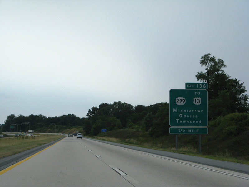
SR 1 crosses Drawyer Creek before turning west to the diamond interchange (Exit 136) with SR 299. 08/05/07

A ground level sign referenced Townsend, a small town not directly served from SR 1. An unbuilt interchange with SR 71 north to Townsend was apart of original plans for the toll road. 08/05/07

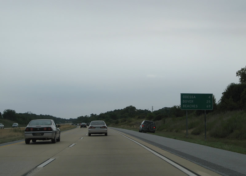
Trailblazers with a life guard chair referenced the Delaware Beaches along SR 1 south from Churchmans Crossing to Odessa. This mileage sign posted south of Odessa was carbon copied by 2012. 08/05/07
The mileage sign posted south of the proposed SR 71 interchange was replaced by 2012. 08/05/07
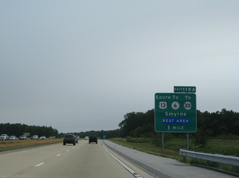
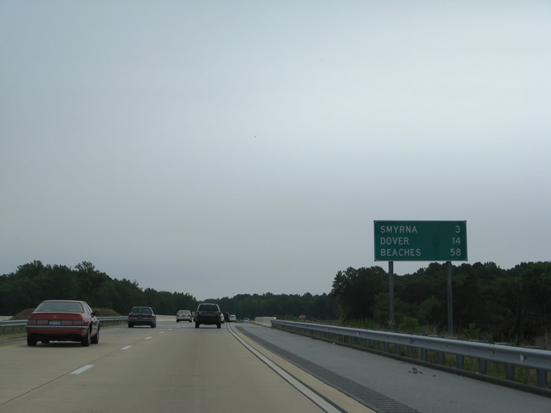
All signs for Exit 119 were replaced by 2012, with the exception of the Exit 119B panel referencing Townsend. It was added after 2003. 08/05/07
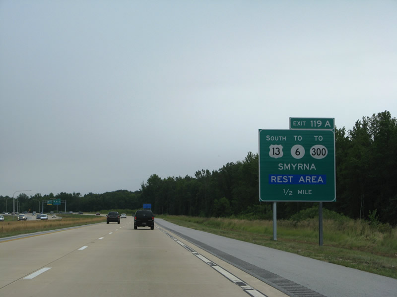
The half mile sign for Exit 119A was a replacement for an assembly posted in 2003. It was also replaced by 2012 and no longer shows Smyrna in all capital letters. 08/05/07
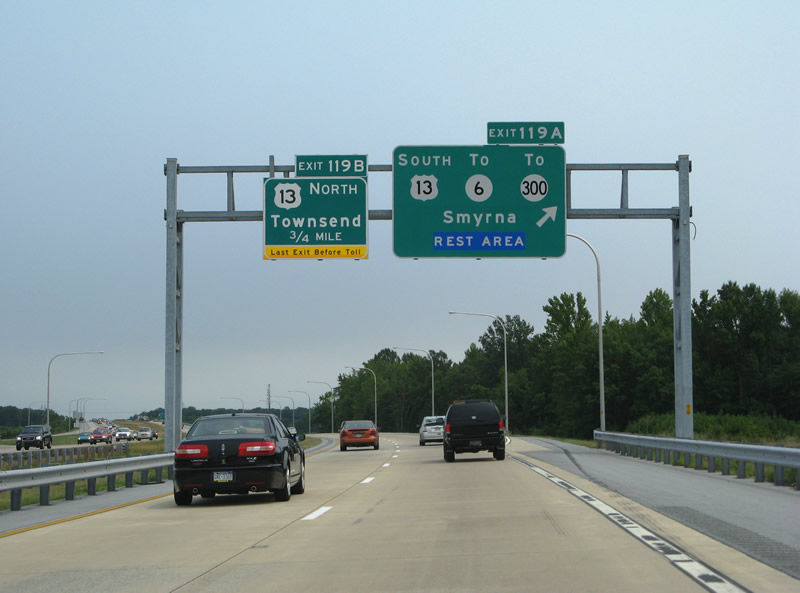
U.S. 13 and SR 1 overlapped from Odessa to Smyrna until the completion of the toll road between Exits 136 and 119. A last exit before toll placard references the untolled on-ramp from SR 299. 08/05/07
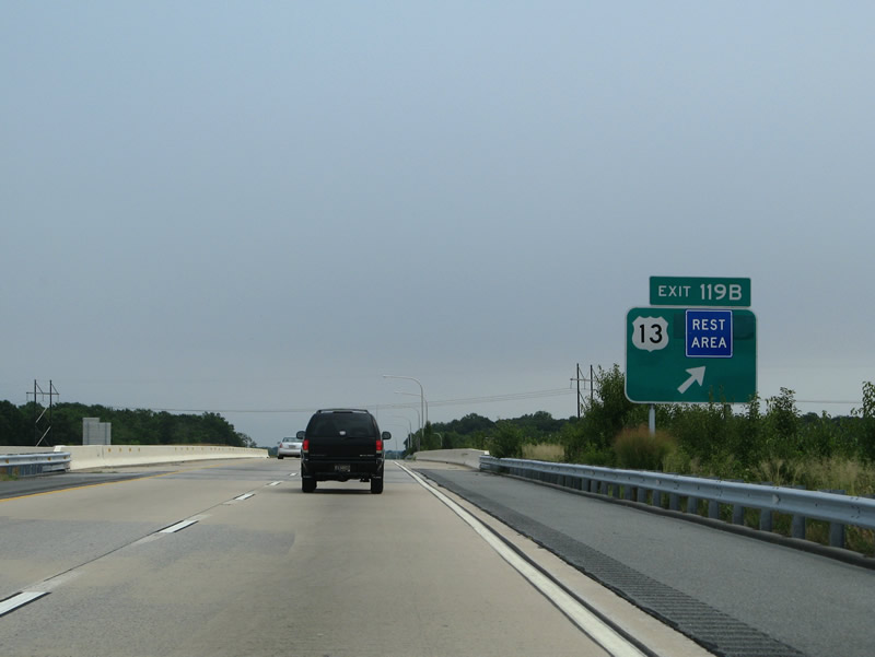
A loop ramp departs SR 1 south for U.S. 13 (Dupont Highway) just north of a rest area. The Smyrna rest area started as a wayside table in 1937. It was modernized in 1991 and later incorporated into SR 1 with direct ramps to southbound. 08/05/07
Photos by AARoads, Adam Froehlig (02/18/02, 04/04/04)
Page Updated Friday January 24, 2025.