Interstate 95 Maryland - North
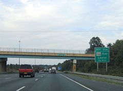
This ground level sign for Exit 33A was replaced during the ICC project that added an auxiliary lane north from MD 200 to MD 198. it was removed by 2014 when a new c/d roadway opened at Konterra Drive. 09/25/04
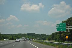
Ramps with MD 198 (Sandy Spring Road) on I-95 north were shifted to a c/d roadway by 2014. This scene looks ahead of the expansion project. 06/20/12
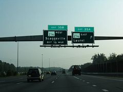
This sign bridge and set of button copy signs was replaced with a side mounted overhead by 2012. 06/07/04
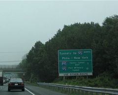
The Maryland Transportation Authority maintains all three of the tolled Patapsco River/ Baltimore Harbor crossings. Any of the three routes (I-95, I-895, or I-695 east) may be used to continue northeast toward Delaware, Pennsylvania, and New Jersey. 06/07/04
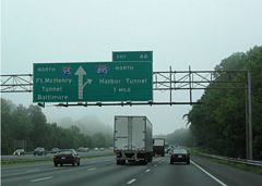
I-895 provides a viable alternate route to I-95 and the Fort McHenry Tunnel. The two-lane Harbor Tunnel Thruway carries a lower 50-55 mph speed limit on the urban portions, but with significantly lower traffic counts than I-95. A new overhead assembly replaced this sign bridge for Exit 46 by 2010. 06/22/05
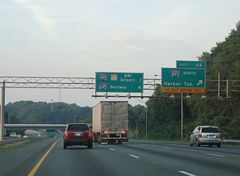
Interstate 95 north at older guide signs for I-895 (Exit 46) and a mileage sign for I-195 and I-695. 06/22/05
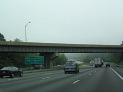
Removed by 2010, a small sign reminded motorists of the forthcoming Fort McHenry Tunnel crossing of I-95 at the split with I-895 north. The freeway crosses the Patapso River into Baltimore County ahead. 06/07/04
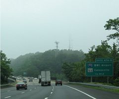
Advance sign for I-195 and MD 166, replaced to reflect the renaming of BWI Airport in 2005. 06/07/04
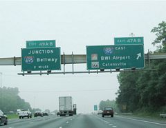
Somewhat visible on the overhead for Exit 47 were label scars from a MD 166 shield and larger text for Catonsville. This sign was repurposed to include I-195 east when the separate segments of MD 166 north from I-95, and south from Baltimore-Washington Parkway to then Friendship International Airport were joined. 06/07/04
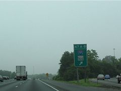
Gore point signs for freeway to freeway connections in Maryland usually include the shield of the intersected freeway. In this case, I-195 was signed with MD 166, but a sign replacement omitted the Interstate highway. 06/07/04
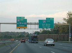
All signs for interstate 695 west (Exit 49B) on I-95 north were replaced by late 2007 to no longer reflect the connections to I-70 and I-83. 06/22/05
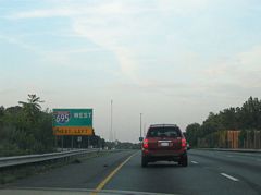
A ground level sign for the left exit to I-695 north (inner loop) on I-95 north was removed by late 2007. 06/22/05
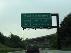
An overhead directed motorists taking Exit 51 to Washington Boulevard. Hollins Ferry Road ties into the southbound ramp from the Mount Winans, Westport and Lakeland neighborhoods. A ground level sign was added in place of this assembly by 2012. 06/07/04
Photos by AARoads
Page Updated Wednesday January 22, 2025.


