
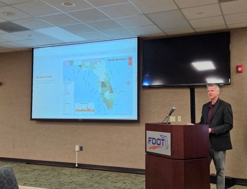
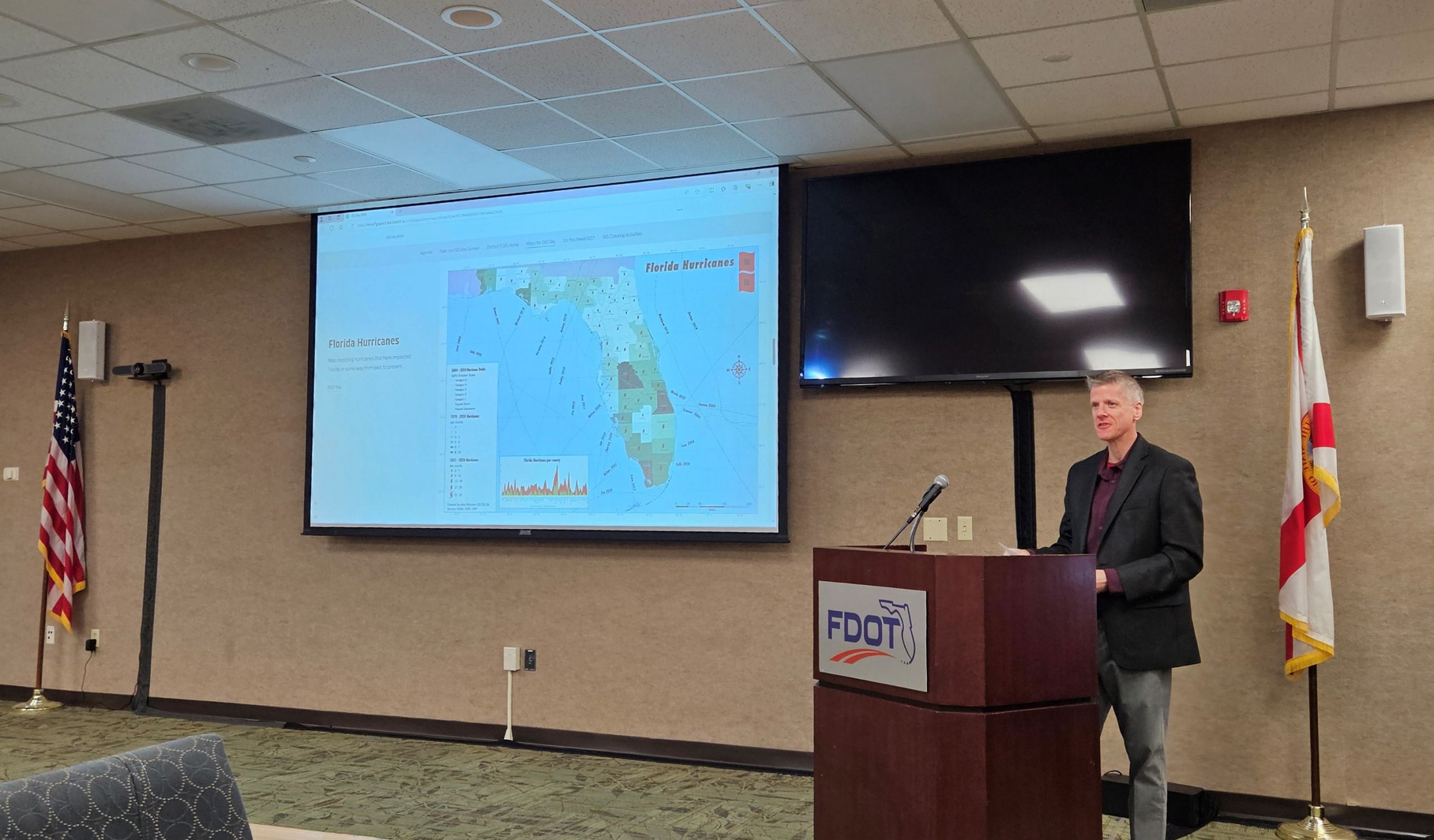
Following several days of anxiousness following the formation and movement of Hurricane Idalia, I finally was able to resume work on the second Lab assignment for GIS4043. This week’s focus is on cartographic basics and design, something I have familiarity with having worked for three map companies. However my experience goes back to ArcMap, and the ArcGIS Pro system definitely requires some time investment to acclimate.
The general purpose of the map is to show the location of the University of West Florida (UWF) Main Campus located north of Pensacola in Escambia County. We were tasked with creating two maps, a small general overview map showing Escambia County’s location relative to the whole state of Florida, and a larger map showing Escambia County in more detail with the placement of the campus location.
An early step was to add a folder connection via Arc Catalog. Previously in ArcMap, Arc Catalog was somewhat separate. Now with ArcGIS Pro, catalog is more seamlessly worked into the main functions of the software. A nice improvement.
Using Catalog, the metadata is easily viewed. Collapsible ticks next to section headers aid in better parsing the data for locating desired information. The only drawback is that if you exit from a particular metadata for one file, upon return all closed ticks are again open.
Upon reviewing metadata for the six shape files downloaded for the Lab, discrepancies with how detailed the metadata with each respective file becomes apparent. Some metadata is extremely detailed while other metadata is more limited. Reviewing the metadata for this project, data sources included U.S. Census Bureau Tiger files, the University of Florida GeoPlan Center and FGDL among others.
Moving forward with the Lab, creating and editing the map layouts in ArcGIS Pro was next. The basic elements of this map include Florida County lines, the Interstate Highway system, major rivers and populated cities, towns and census designated places. The idea is to present a simple map conveying where the UWF Main Campus is located without being overly busy with unneeded information.
This Lab involved Clipping Layers, something that I had prior experience with at my cartography job. The clipping aspect was previously located within Arc Catalog on ArcMap. Having it more readily accessible with ArcGIS is convenient. For this map, Escambia County was clipped from the overall state file showing all 67 of Florida’s Counties. The Interstates shape file was also clipped to only display I-10 and I-110 within Escambia County, as were the rivers within the Major Rivers shapefile. Lastly the cities shapefile was clipped to only show Pensacola and the census designated place of Ferry Pass, the more specific location of UWF.
Queries were also introduced in the Lab, first with a simple equal statement to select Escambia County from the Florida Counties shapefile. A subsequent query was created to select Pensacola and Ferry Pass from the Cities shapefile. I have previous experience using queries for labeling feature classes, and some knowledge of query structure from managing the mySQL database for AARoads.
Editing the symbology followed and color suggestions were provided. I used green for Escambia County, with a darker shade on the inset. The rest of the counties were set to gray, to minimize their attention. That background could be left white (blank) or a Basemap could be selected from the Layer group. I opted for the World Light Gray Canvas on the UWF Campus Location map. However with selecting that base, a “Reference” entry appeared at the top of the Drawing Order. Unchecking that preventing it from superseding the map.
Labeling included placing a Title, creating a Legend and adding map elements such as a North Arrow, Scale Bar and Source information. There were some differences in the verbiage used to describe actions in the Lab PDF document versus completing those processes in the current version of ArcGIS Pro. This was noted on the Lab discussion board, and previously caused some minor issues with Lab 1.
The final aspect of the map was placing the PNG of the UWF logo. Where to place it and at what size were considerations made as to not have the graphic complete strongly with other map elements. The resulting map in PNG format:


