
A day spent in Northwest Territories … here’s just the first half, because I took 1560 photos that day, so I am breaking it in two. No northern lights in this batch; you can all go home now.
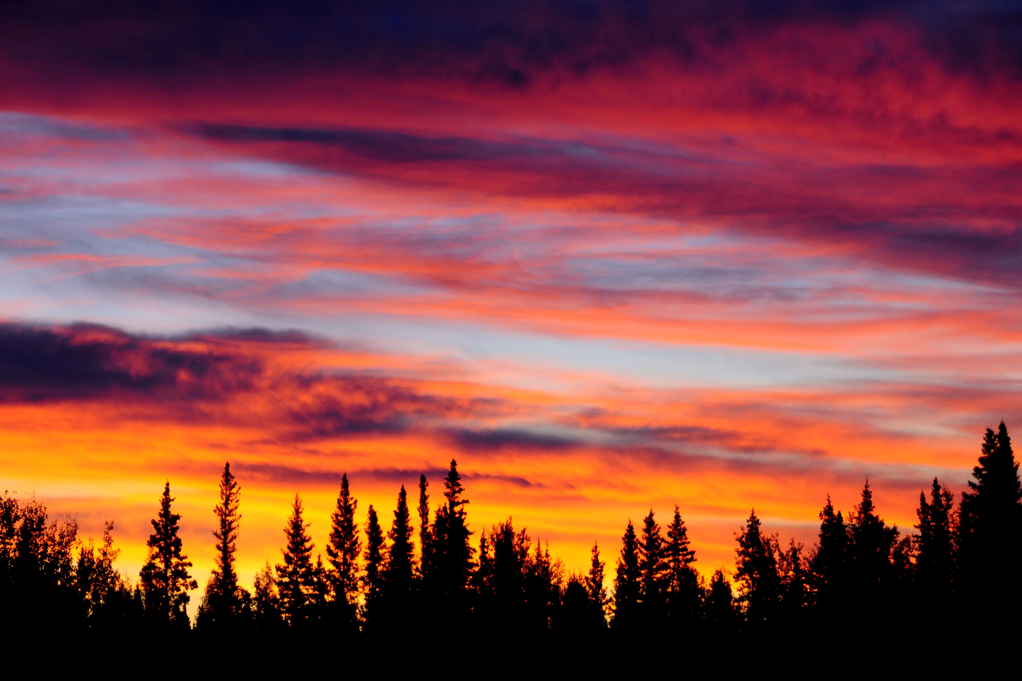
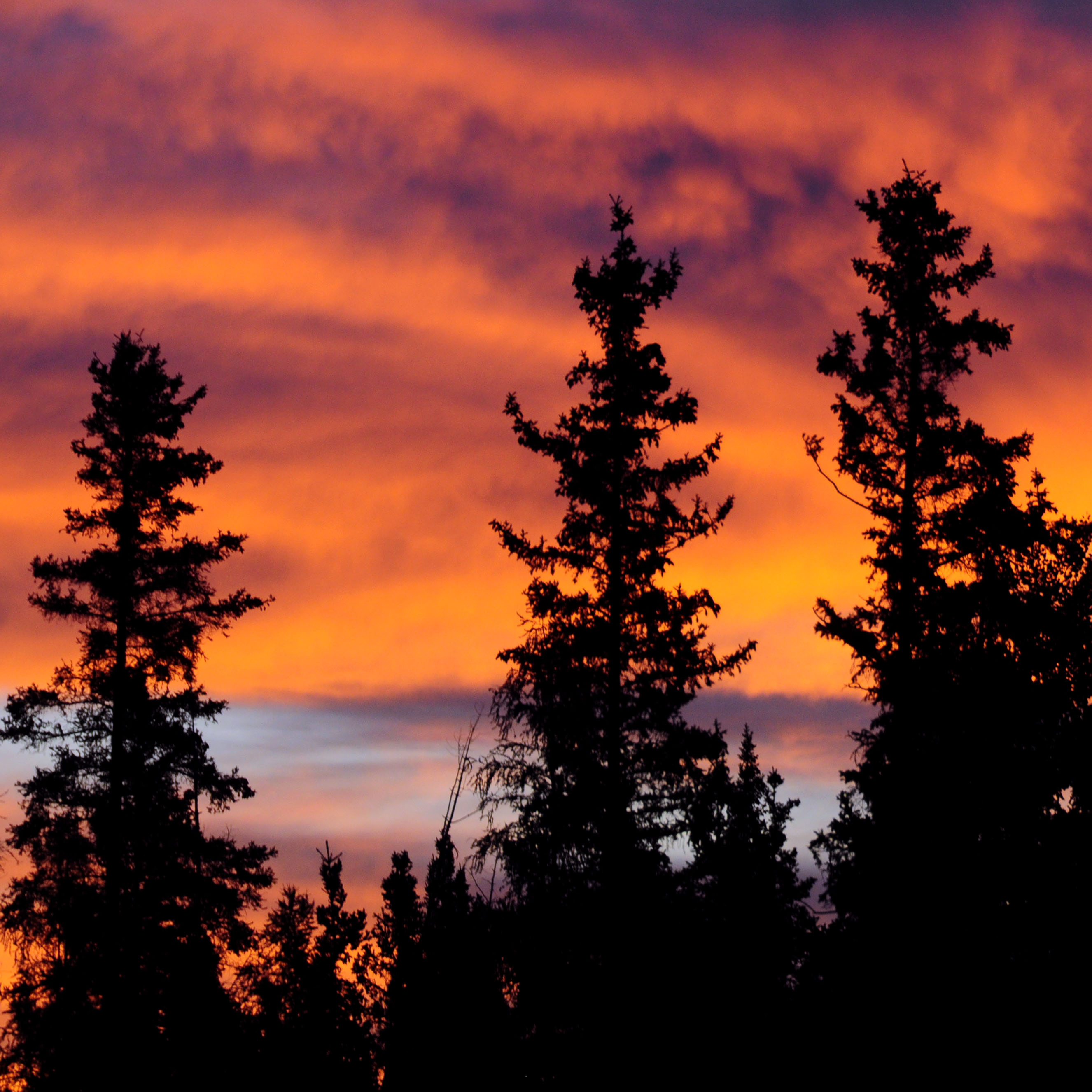
Painted skies at dawn.
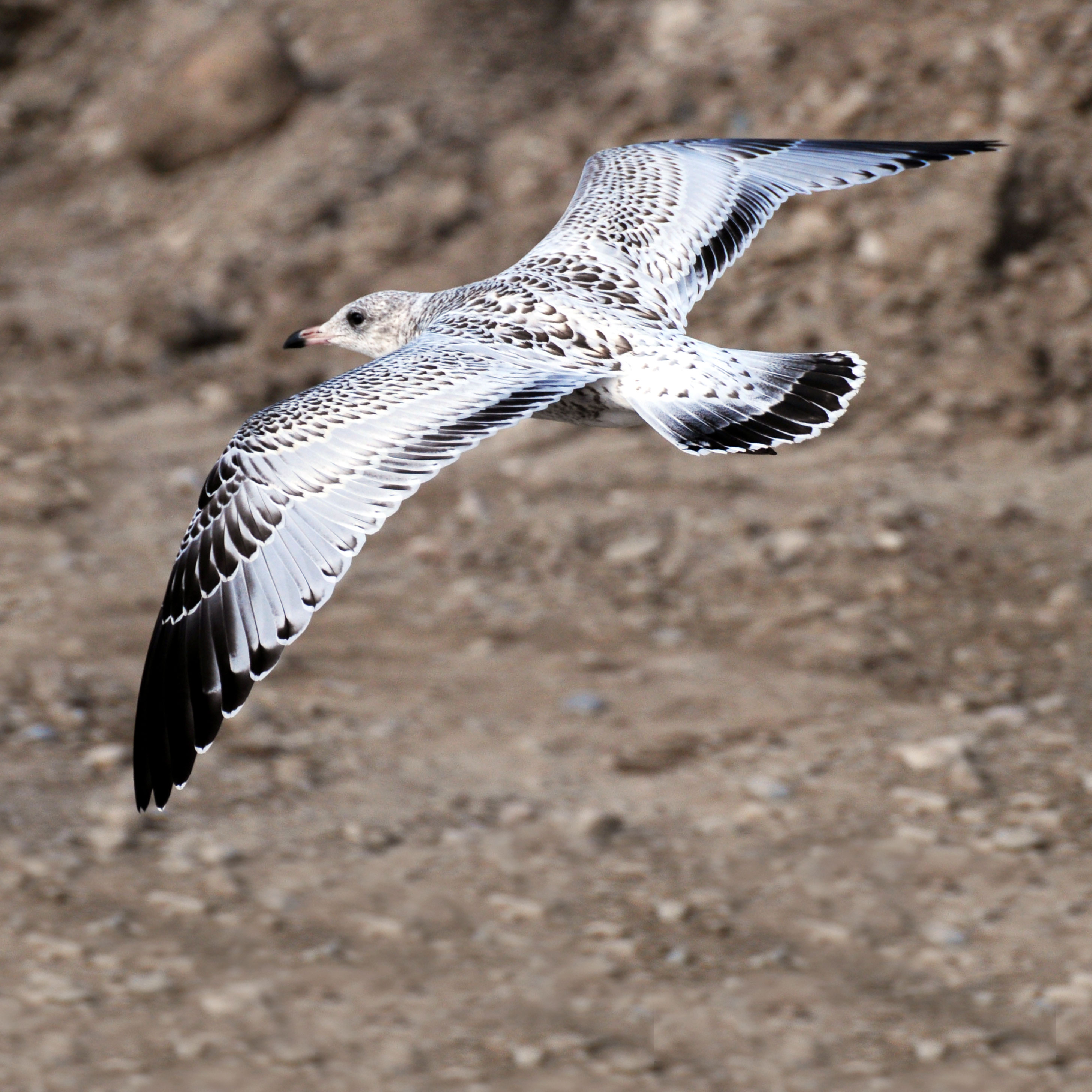
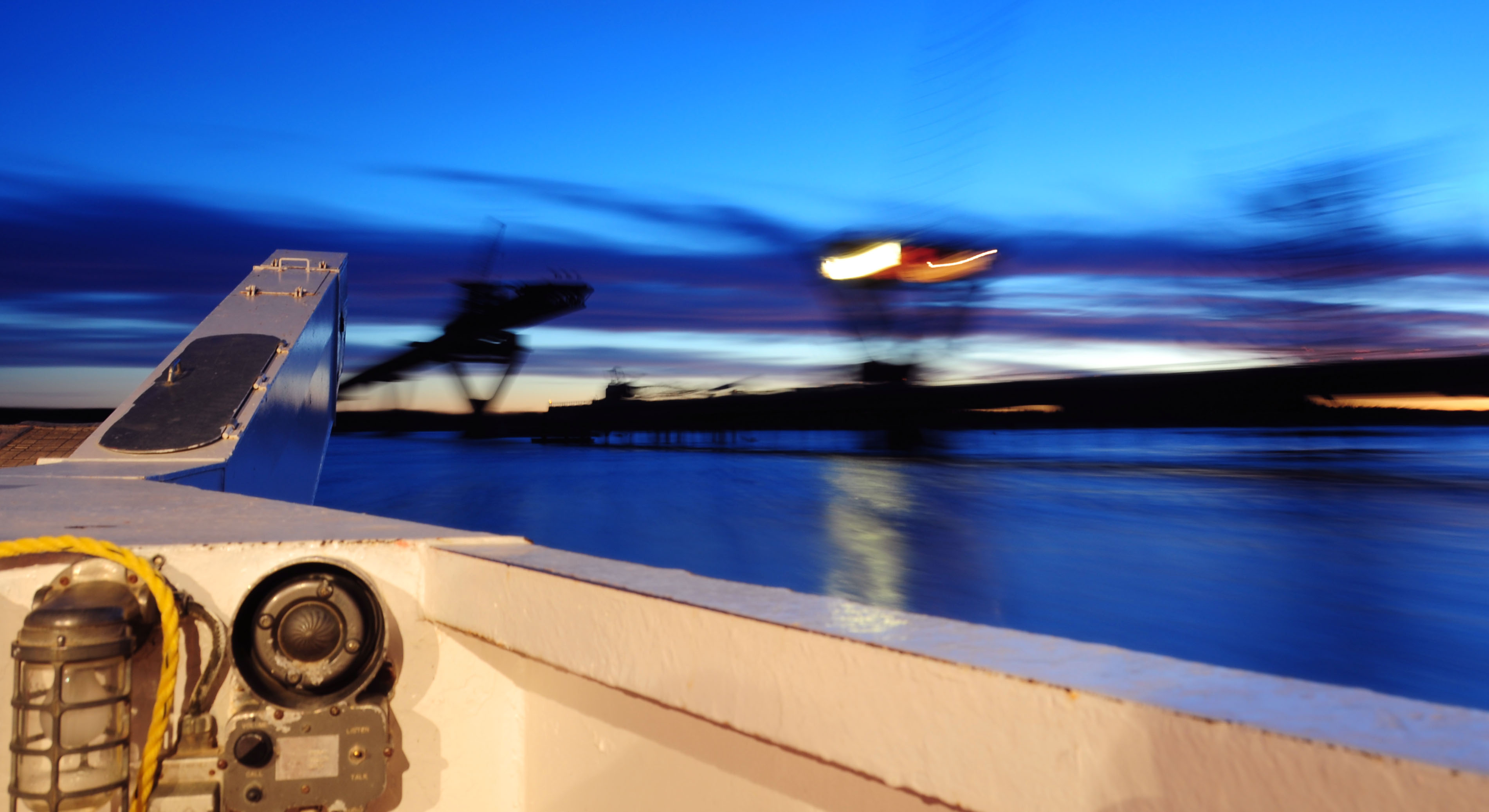
A seagull at the Mackenzie River ferry. Yep, they do have them even thousands of miles from the nearest sea.
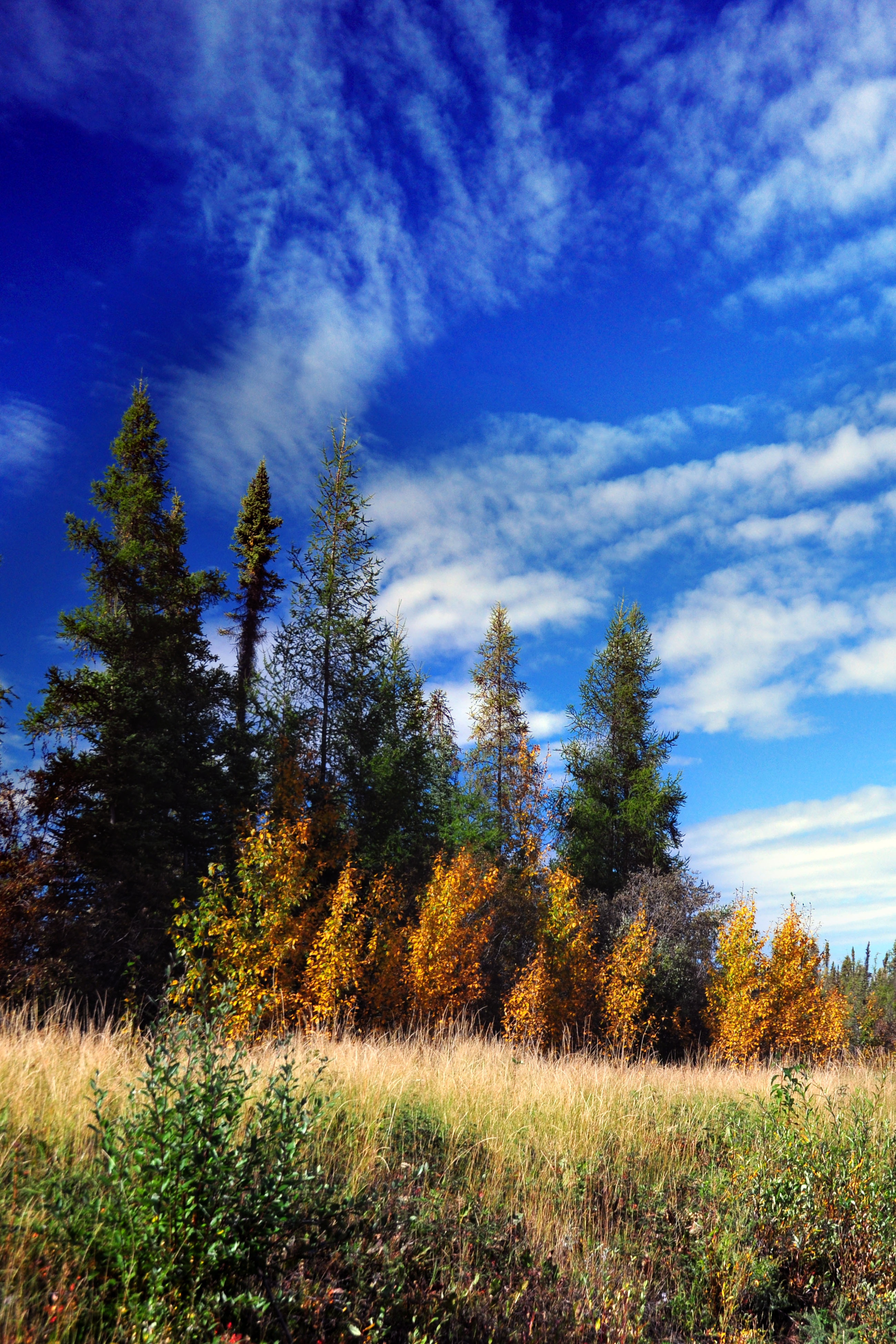
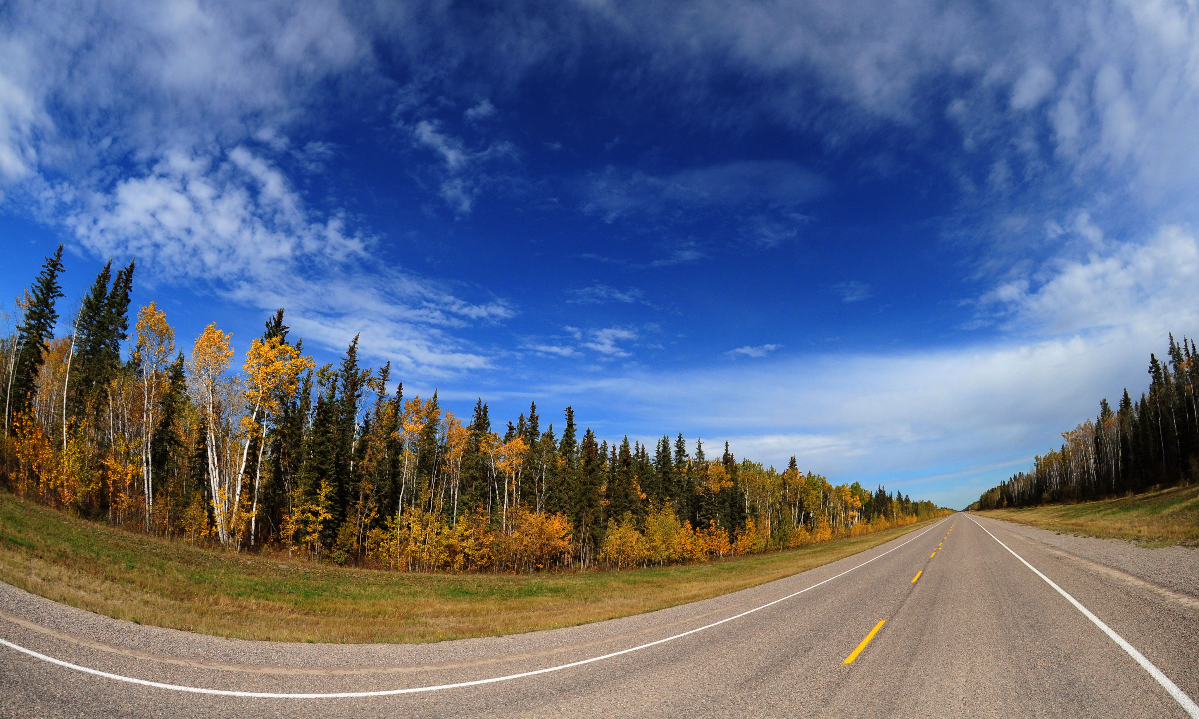
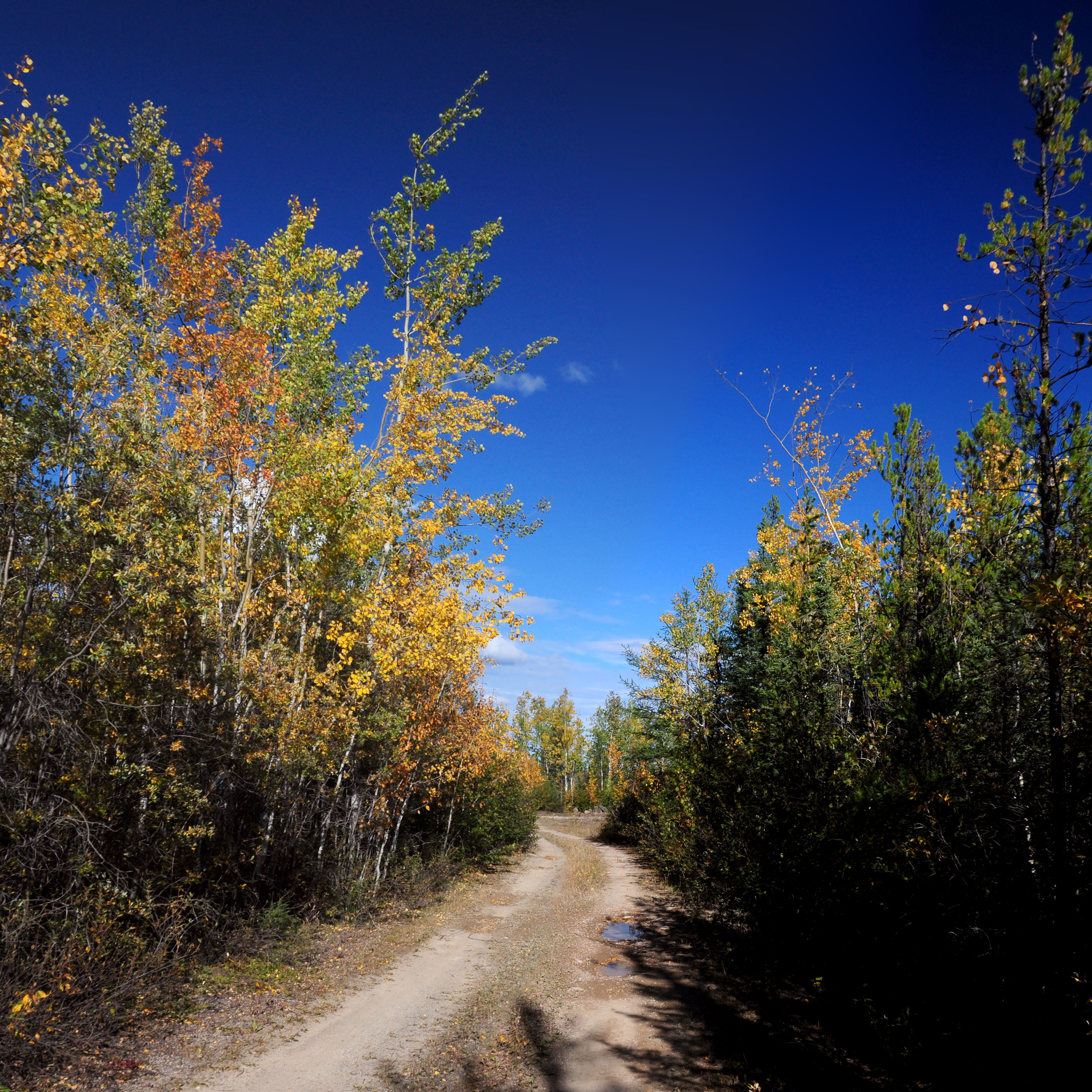
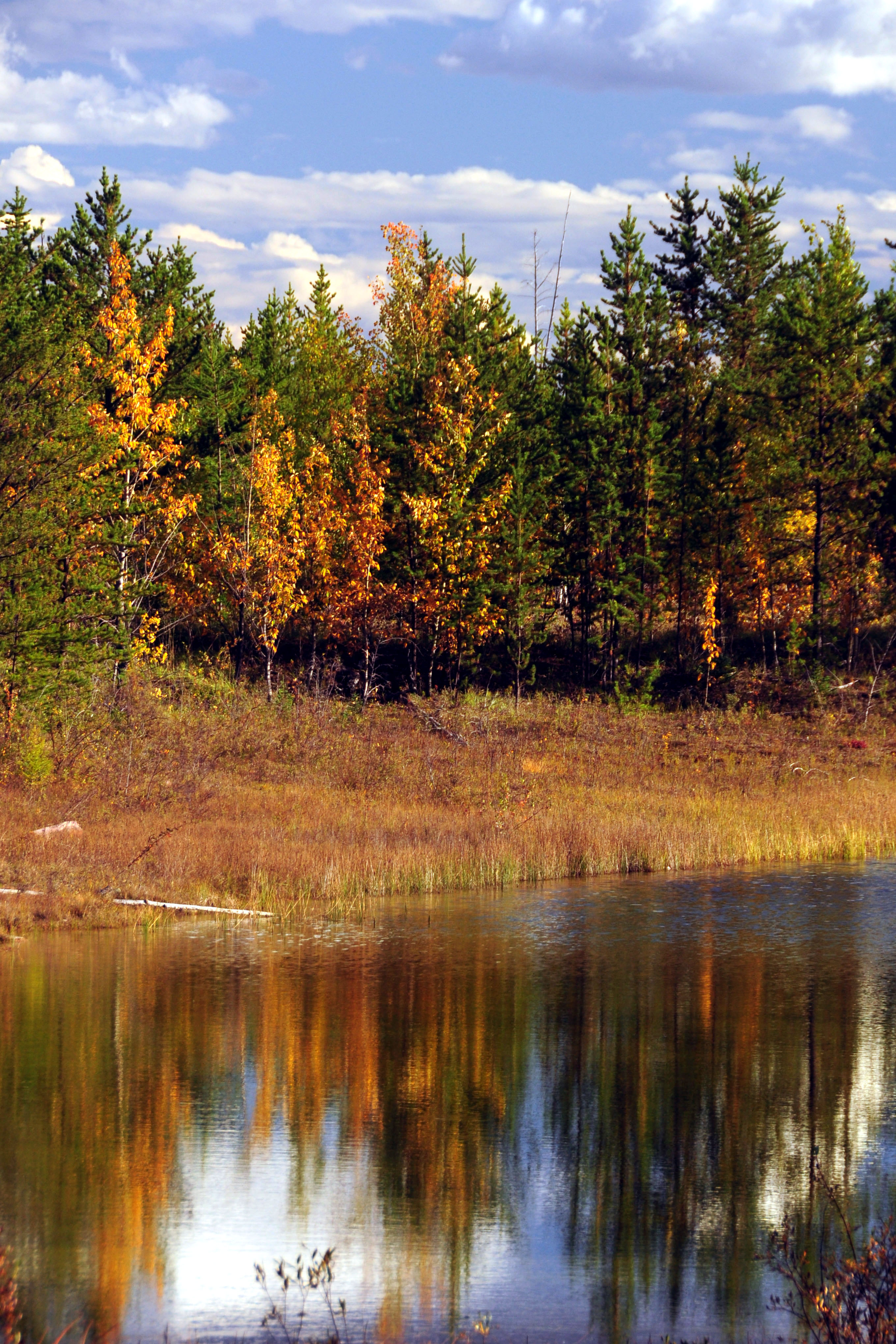
Some yellow and some evergreens.
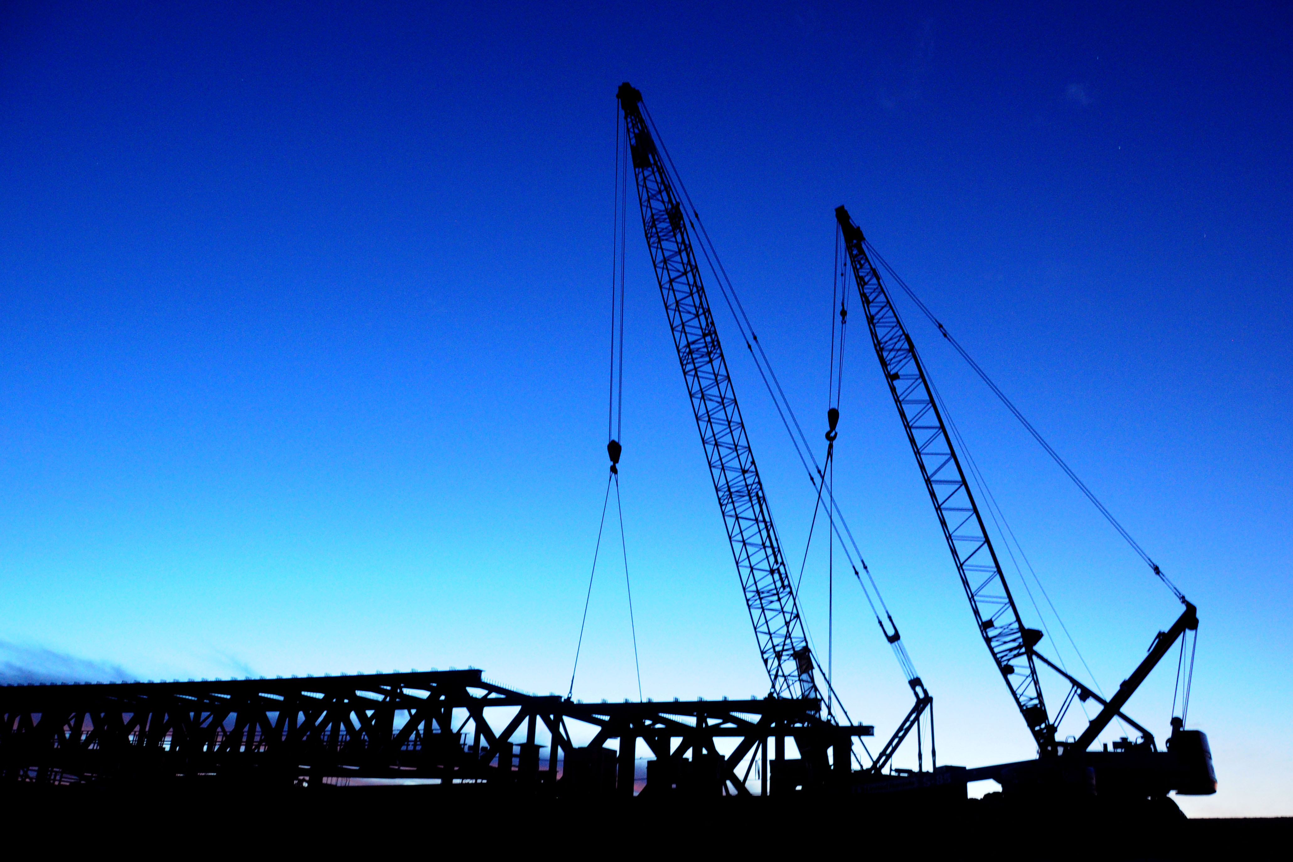
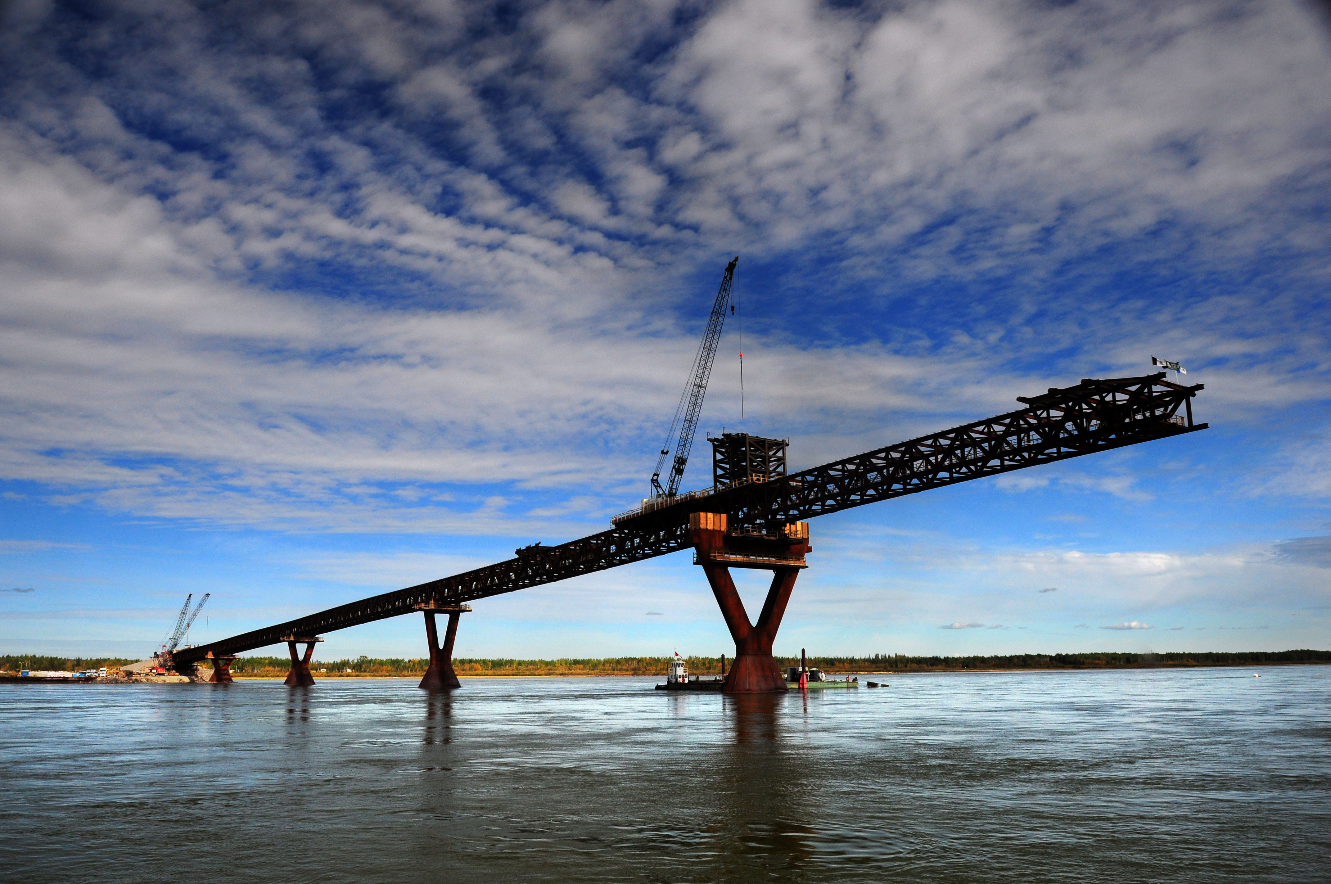
Dawn. We take the first ferry across the Mackenzie River at Fort Providence. A bridge is being built, and will be opened sometime in 2012.
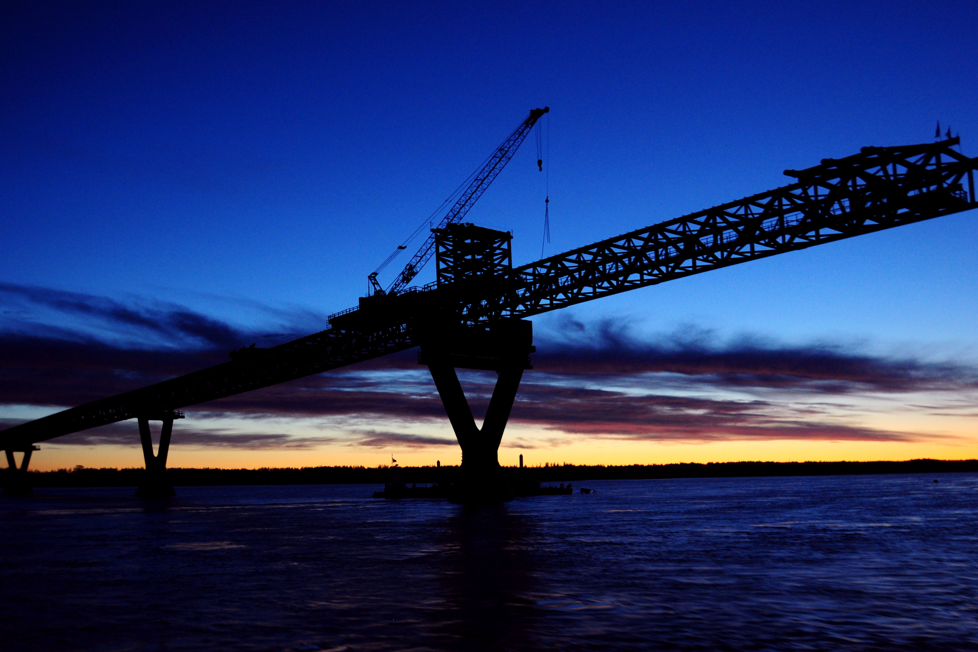
Yes, there is still a large gap in the bridge.
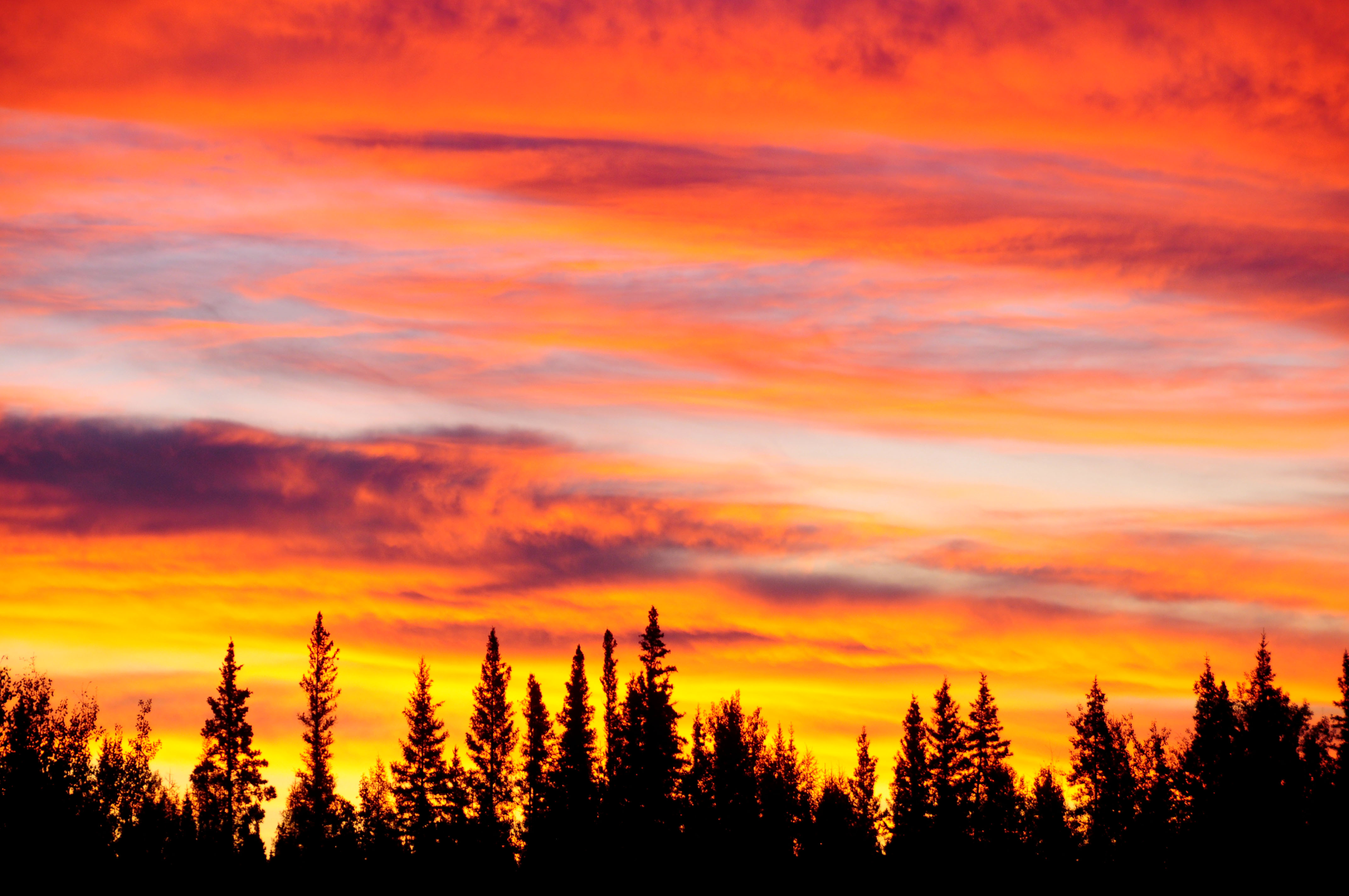
Looking like the makings of an excellent sunrise.
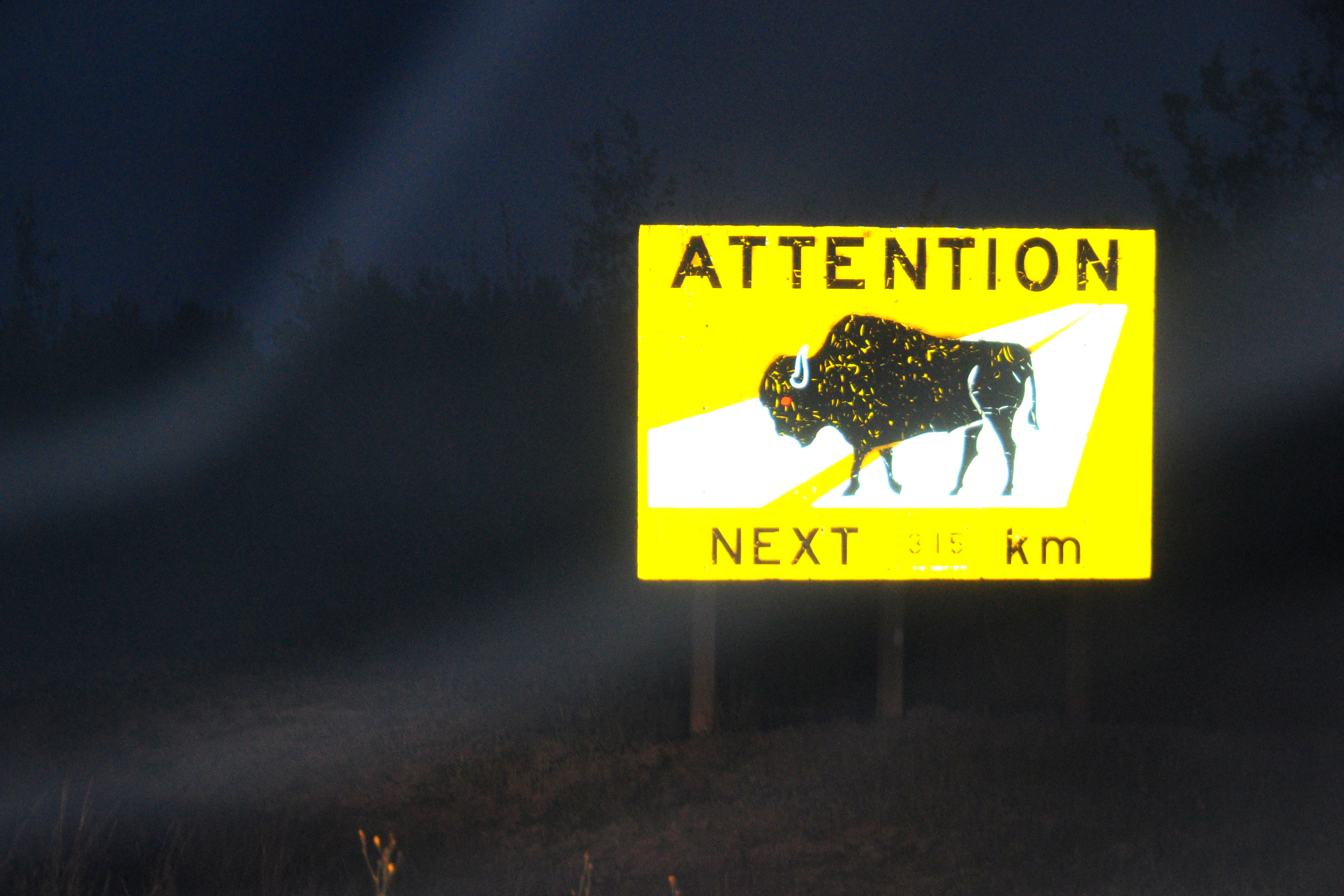
Also: attention, very bad flash photo.
A well-made bear sign.
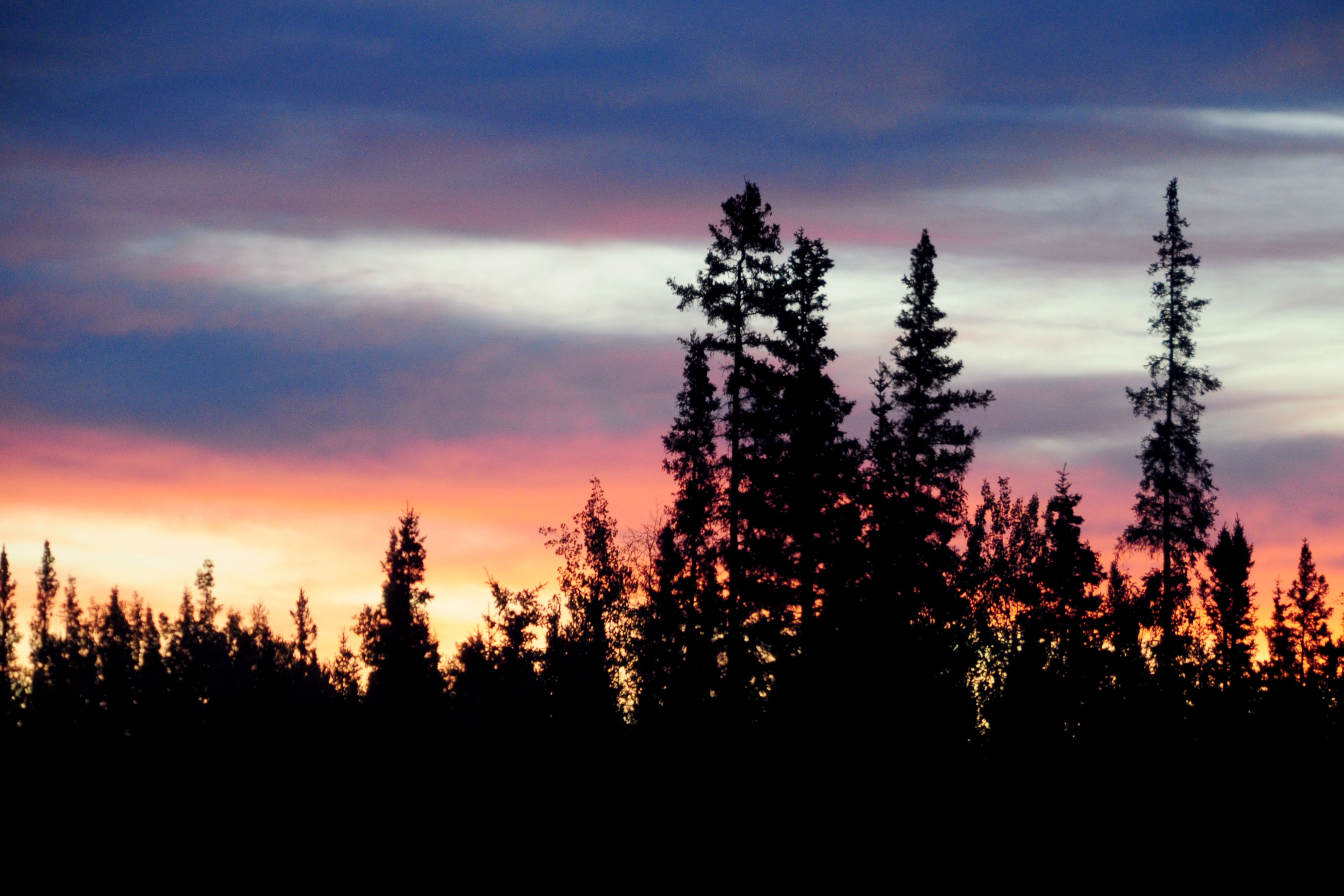
Brightly colored dawn.
A closer view.
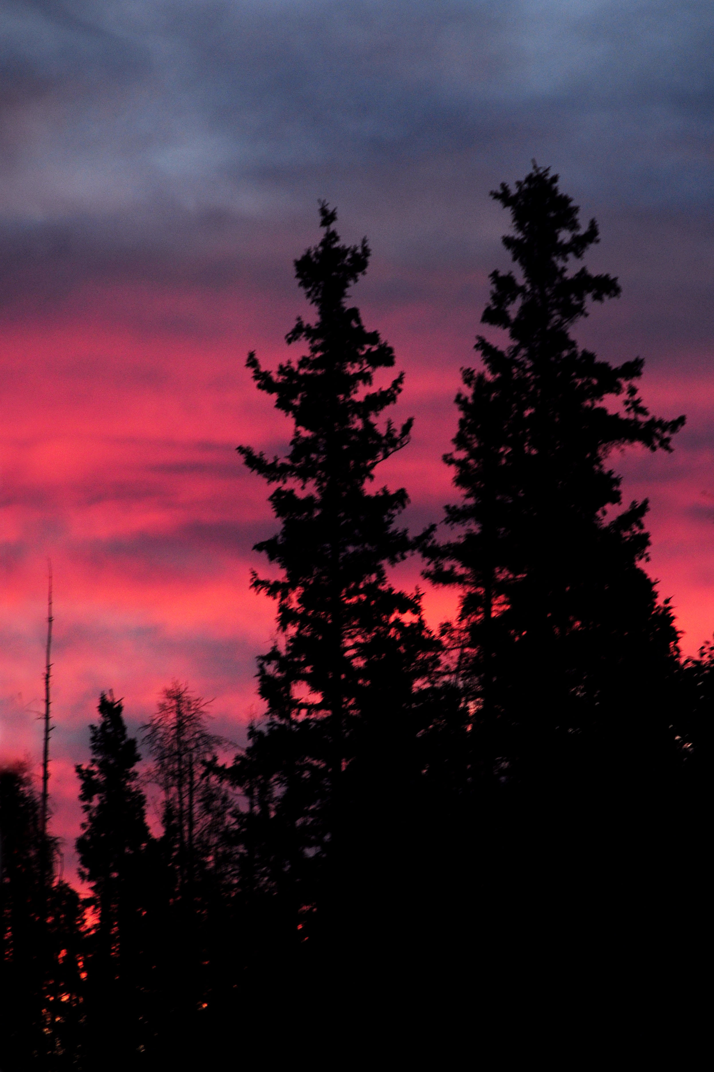
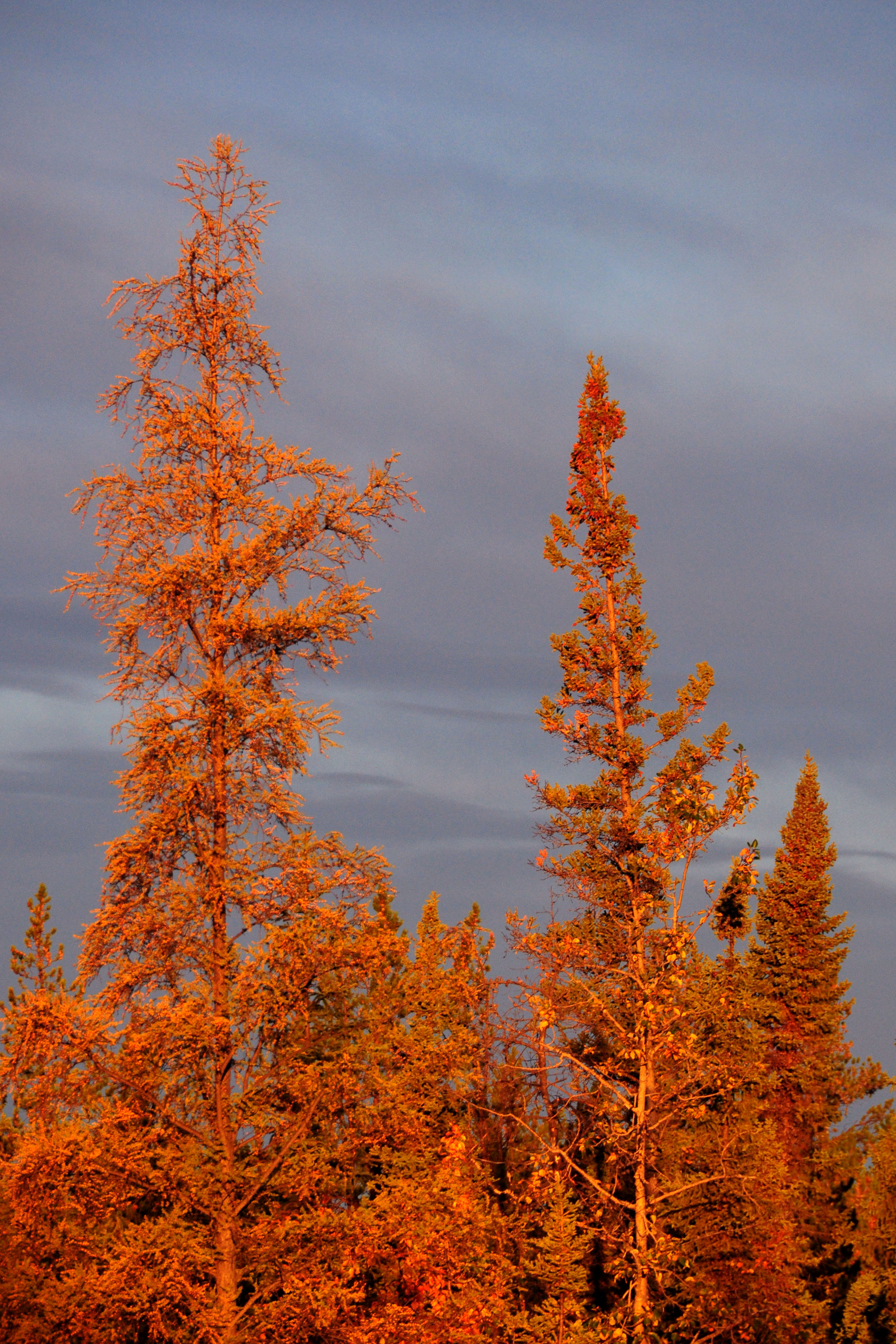
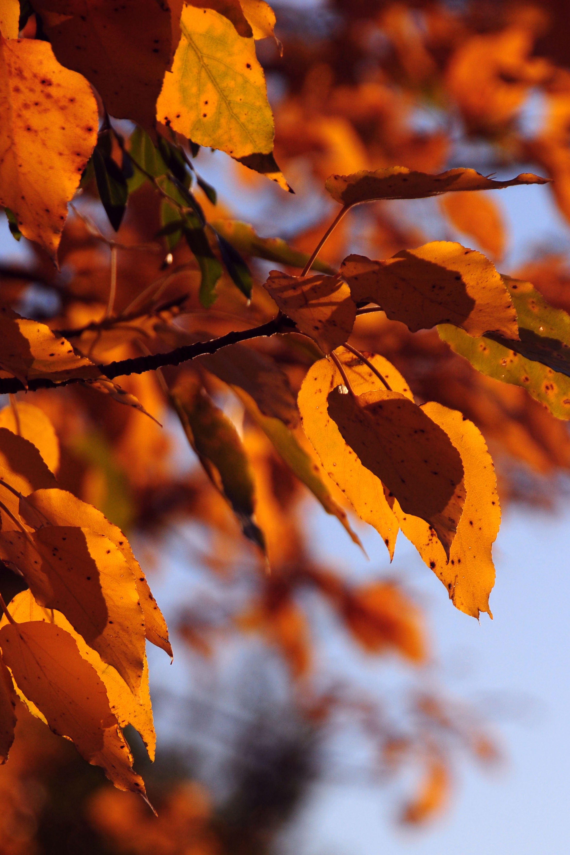
Everything is bright orange.
Off to the side.
More orange. More trees.
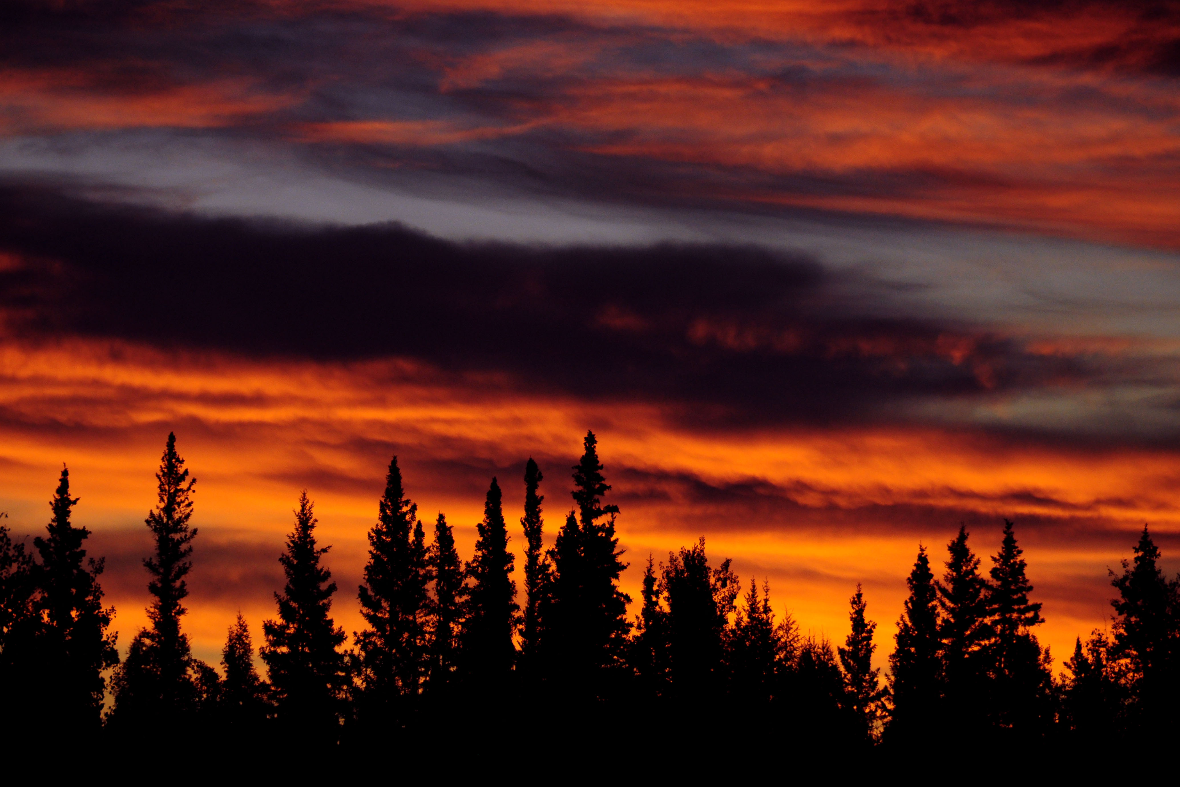
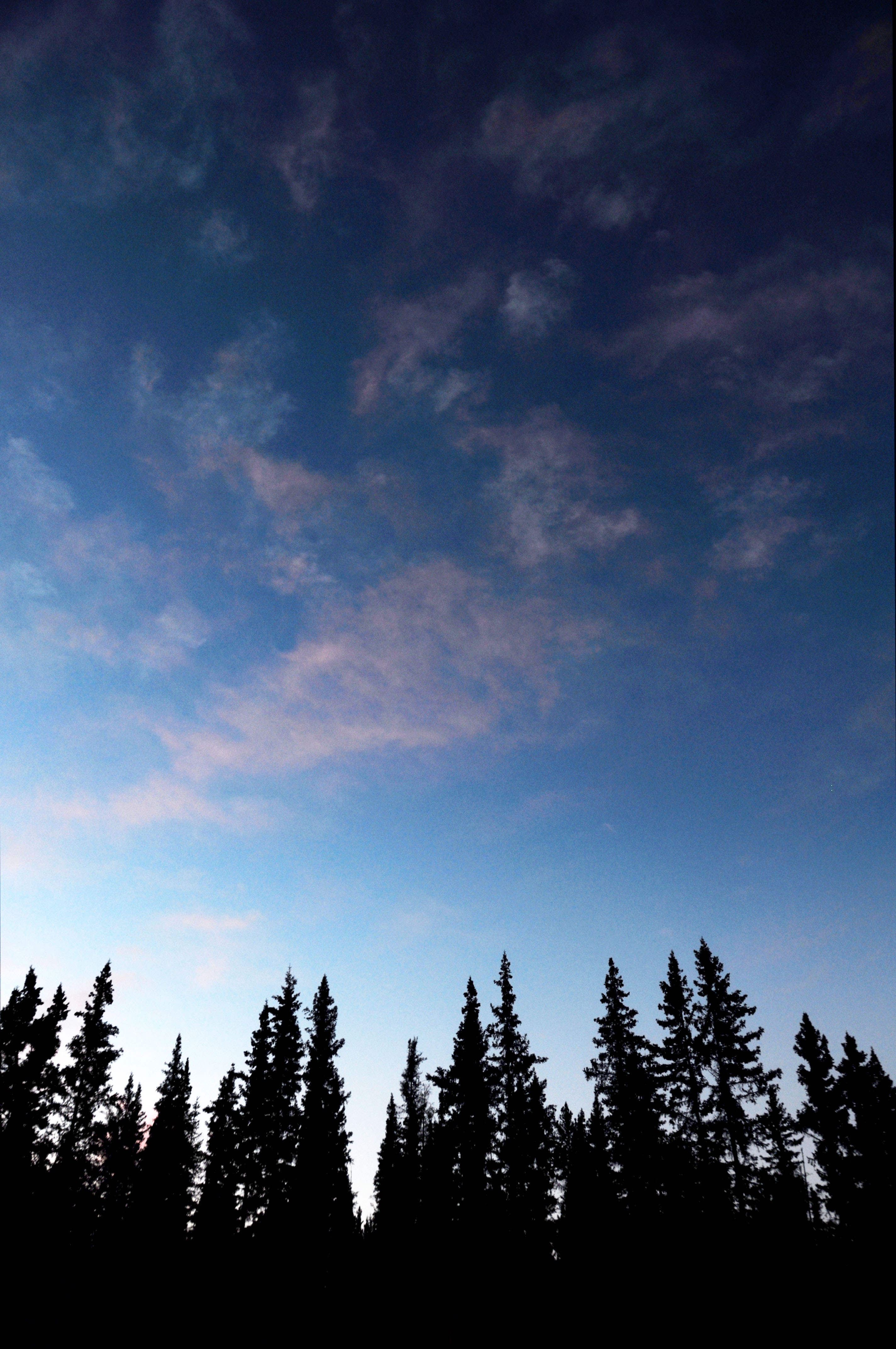
One last one before we leave the area.
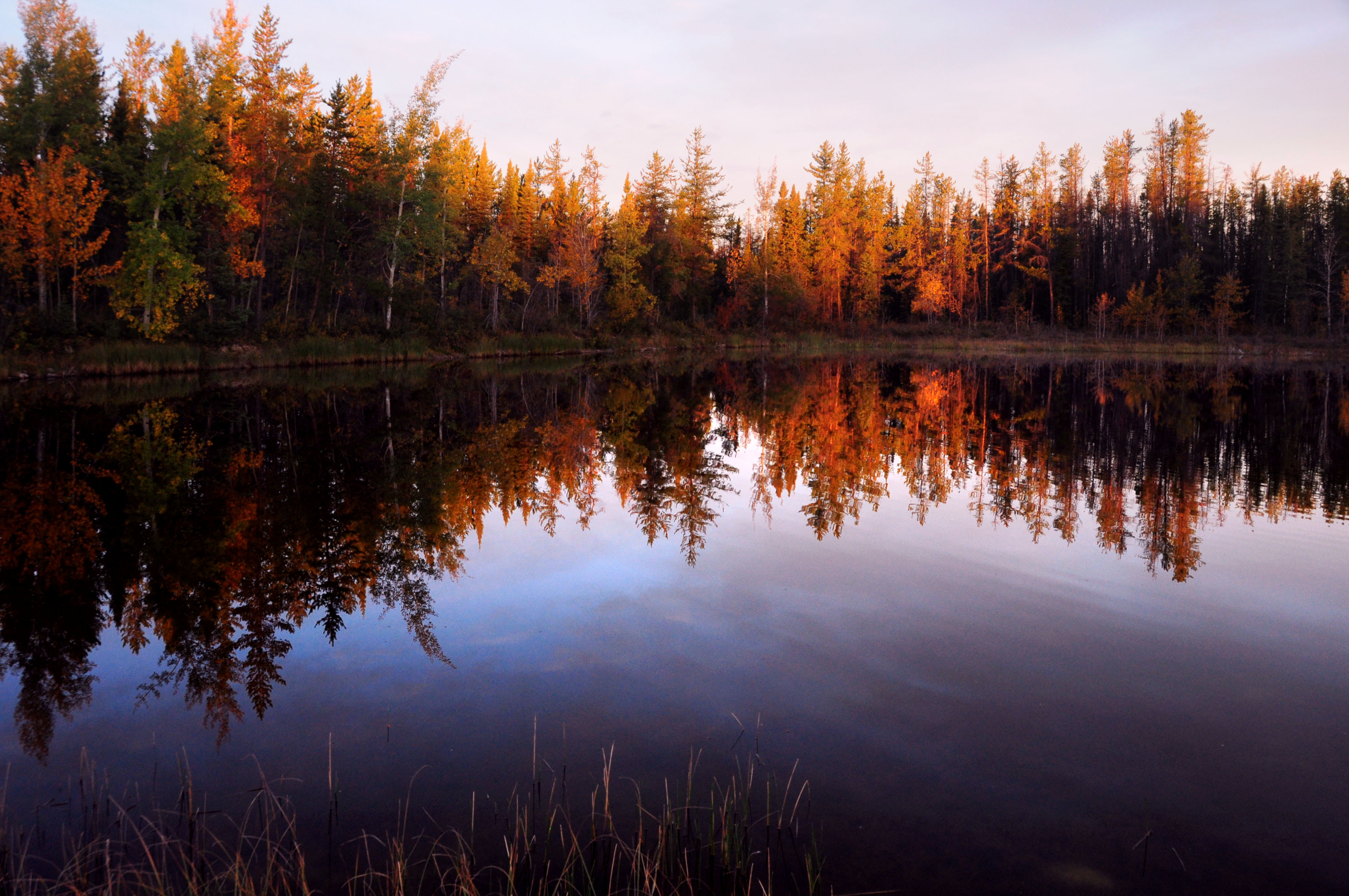
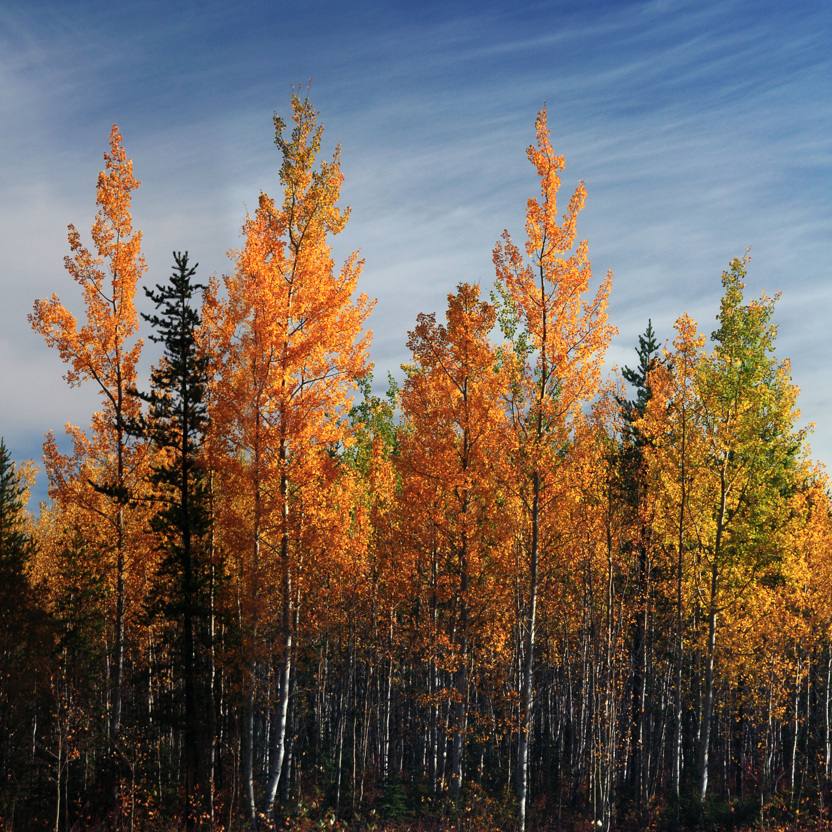
The leaves are definitely changing color.
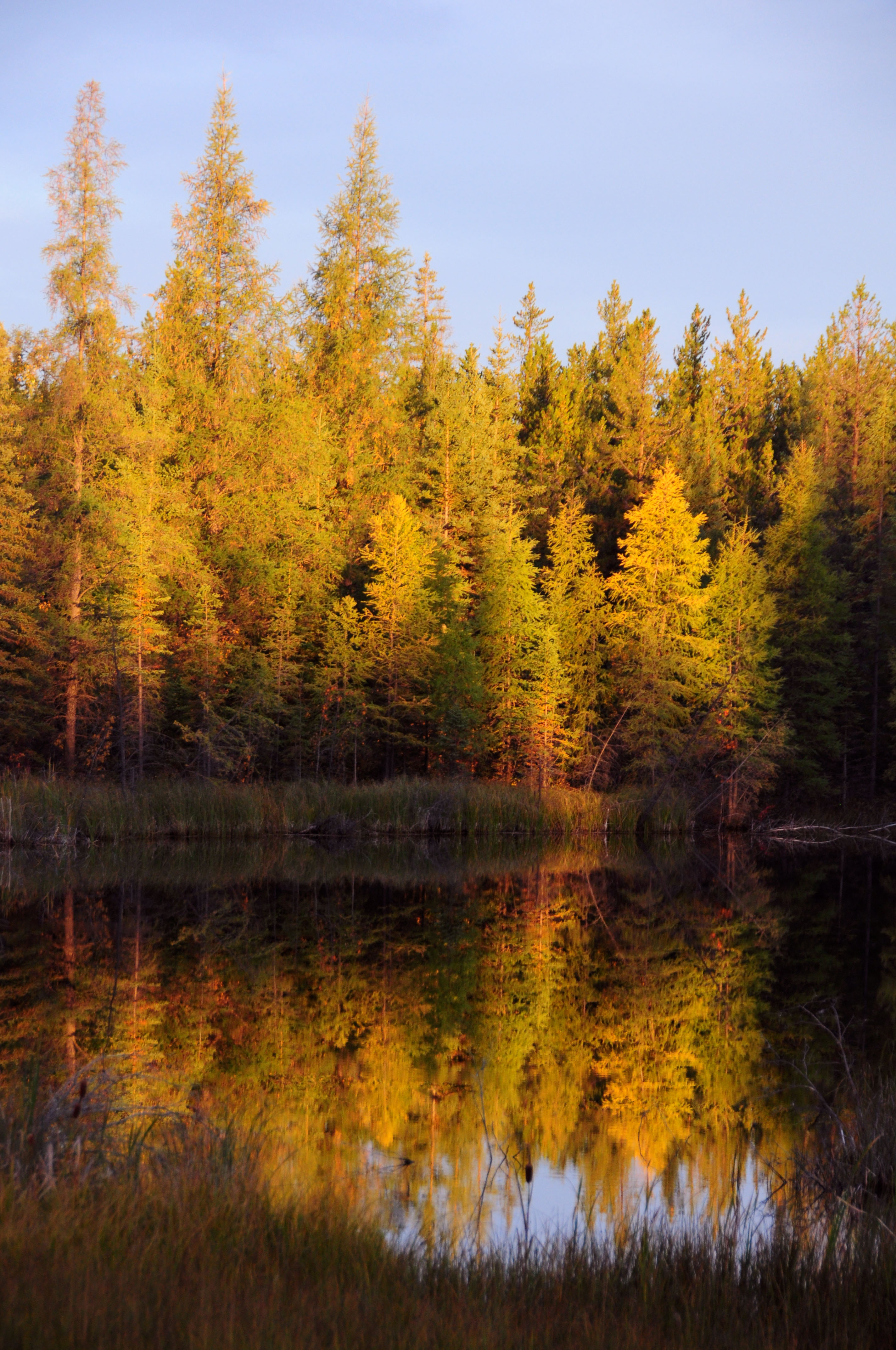
Bright yellow trees.
And some orange ones.
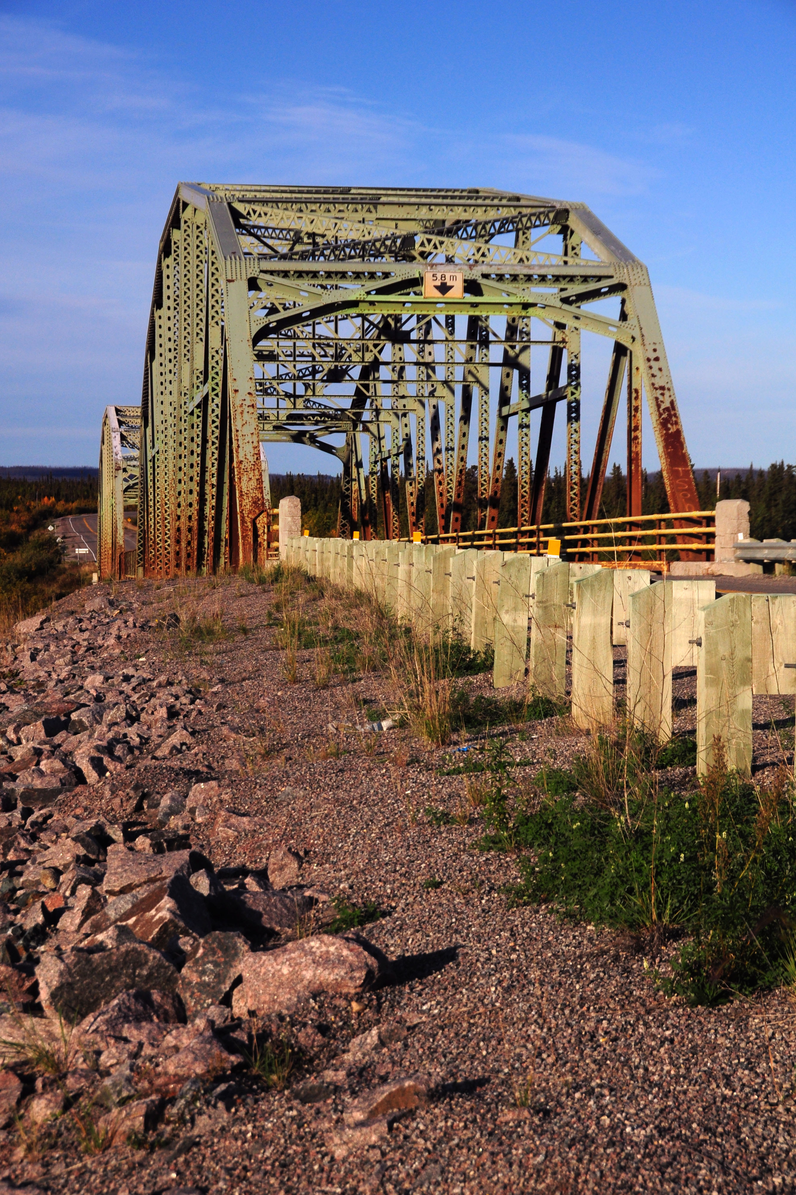
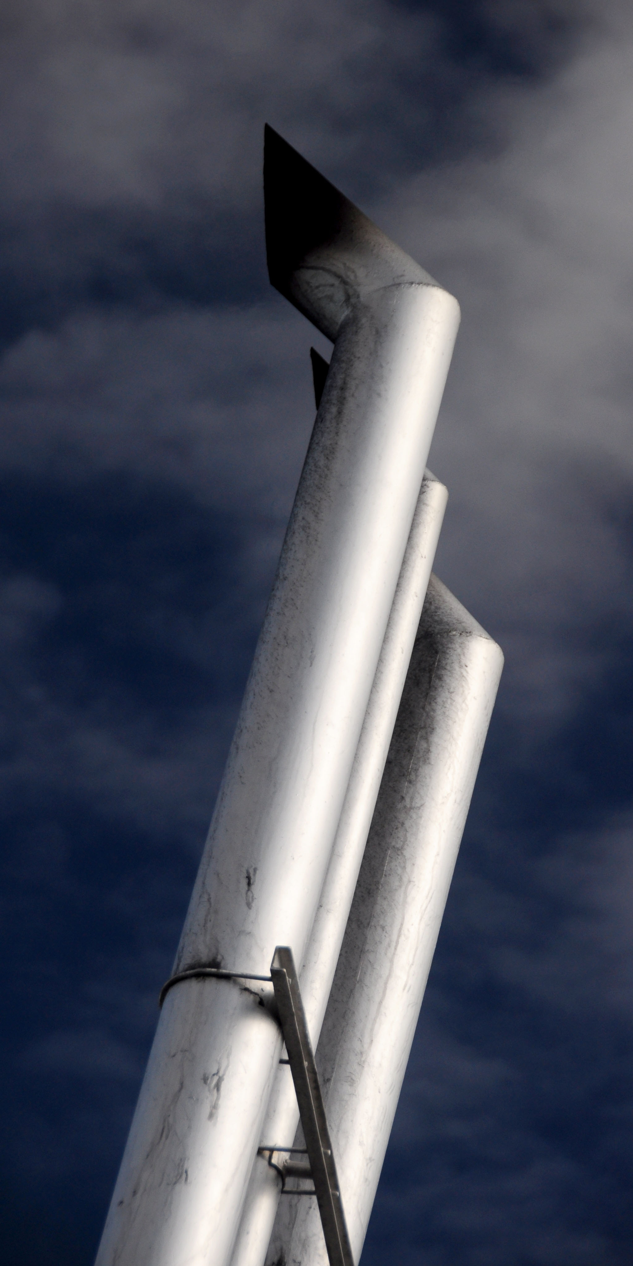
A truss bridge on the road to Yellowknife.
This is a standard bear highway marker.
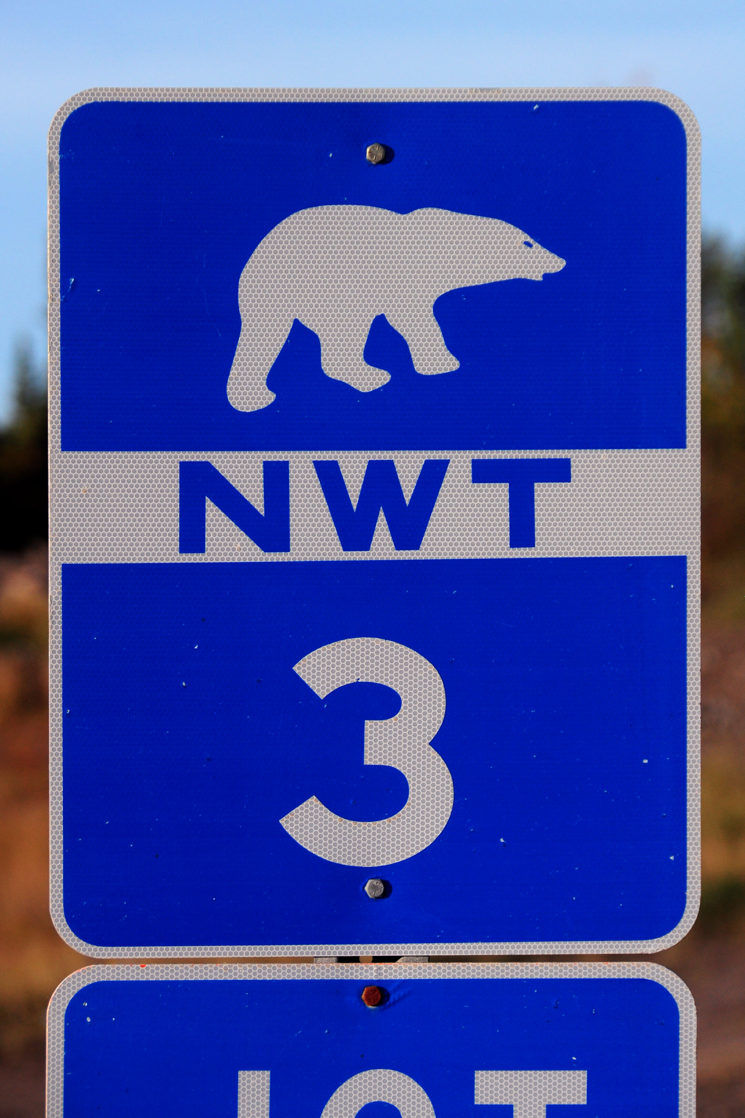
Northwest Territories changed from green signs to blue sometime in the early 2000s.
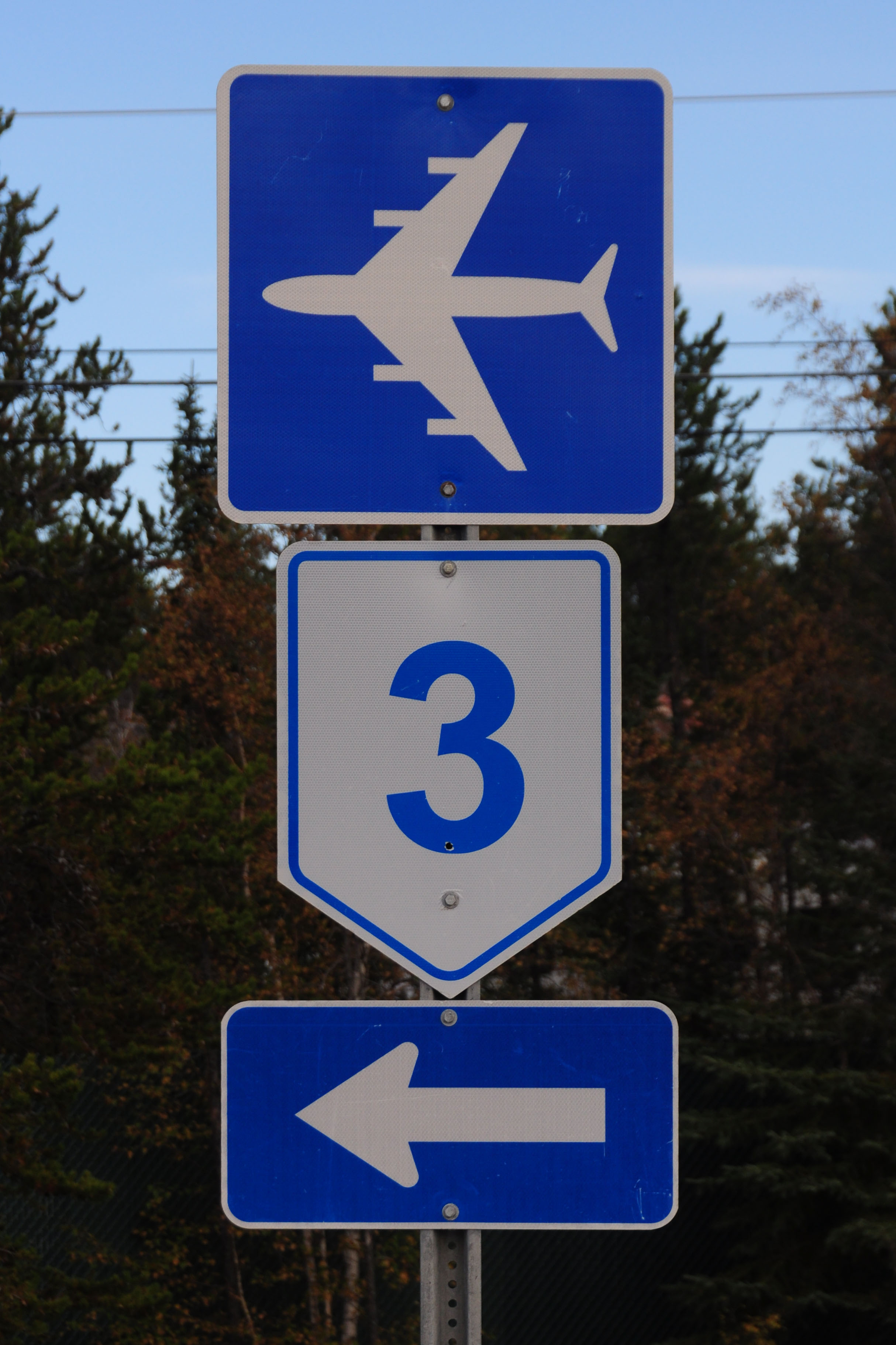
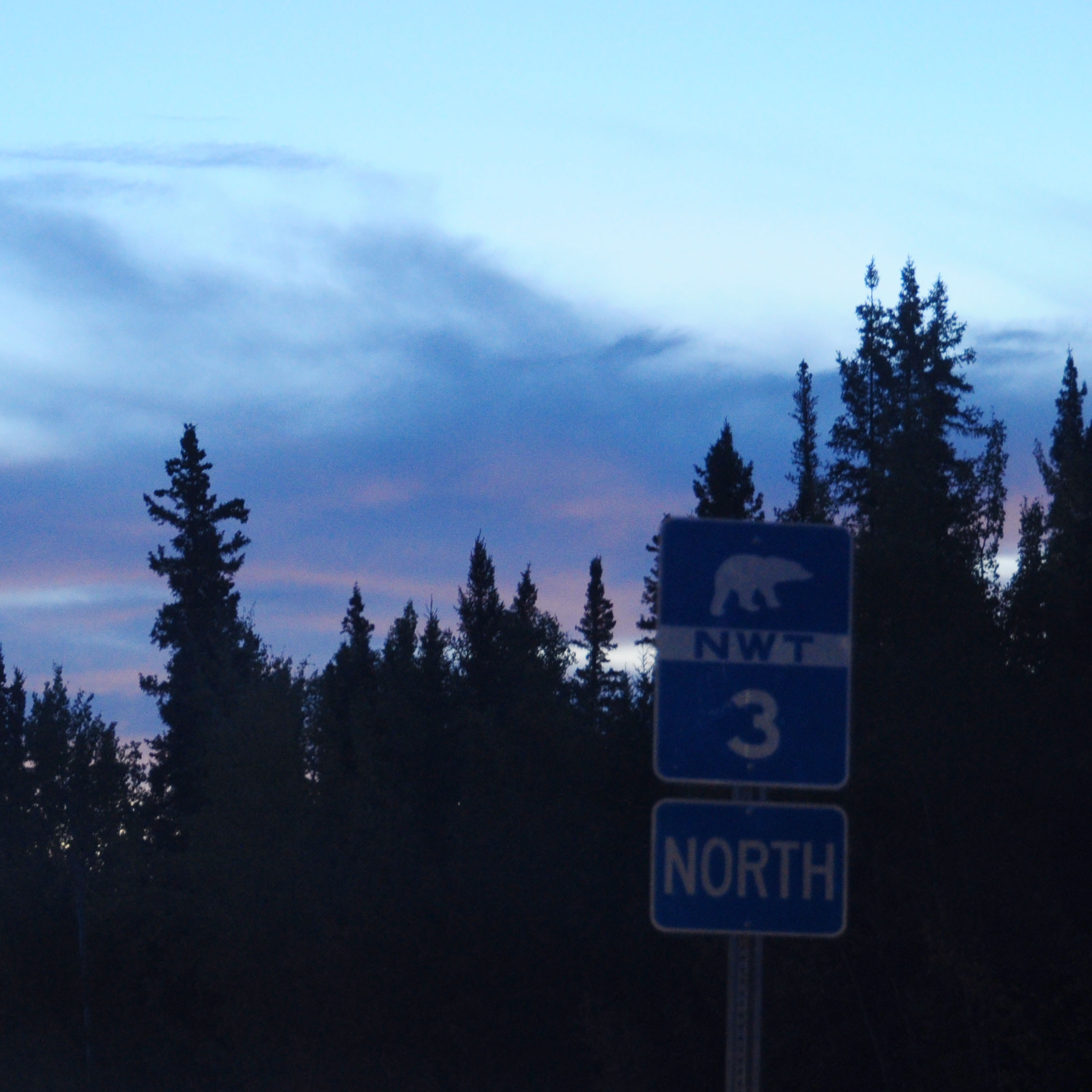
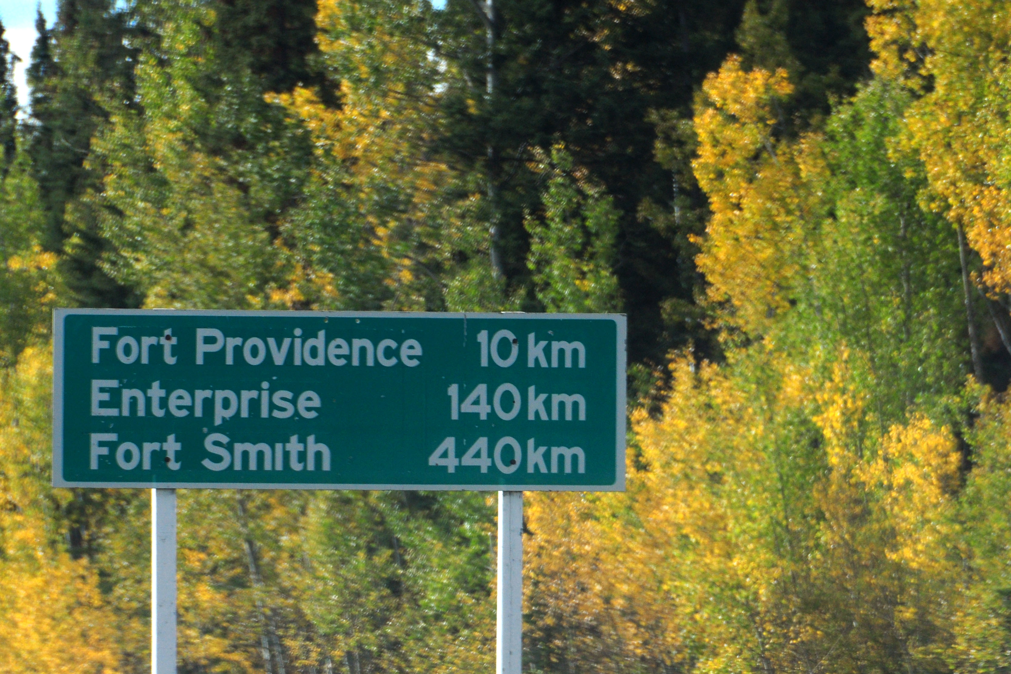
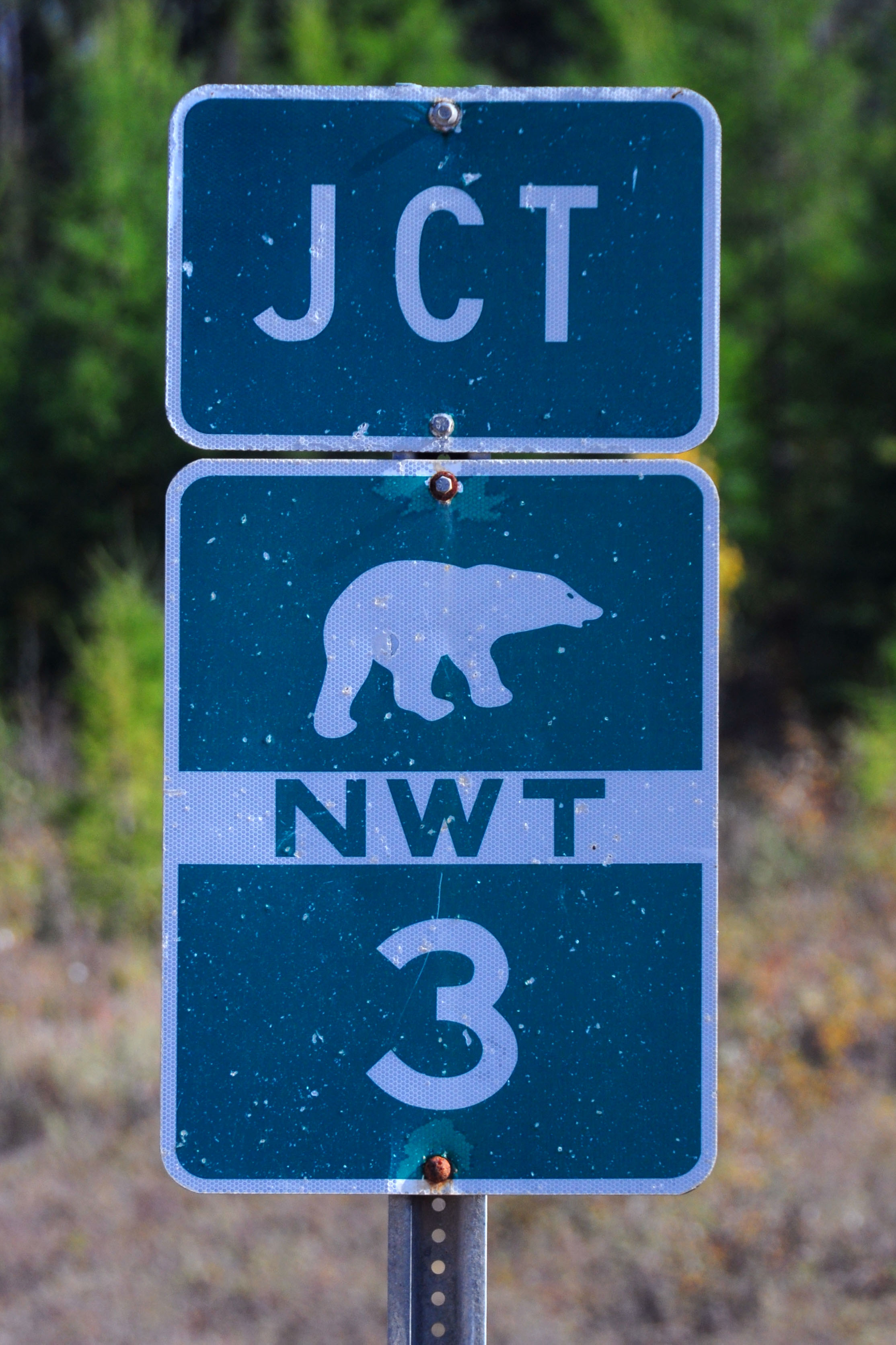
The only place I saw a pentagon route 3. The others were all 1s. And this is the only photo from Yellowknife worth displaying. Not much to see there.
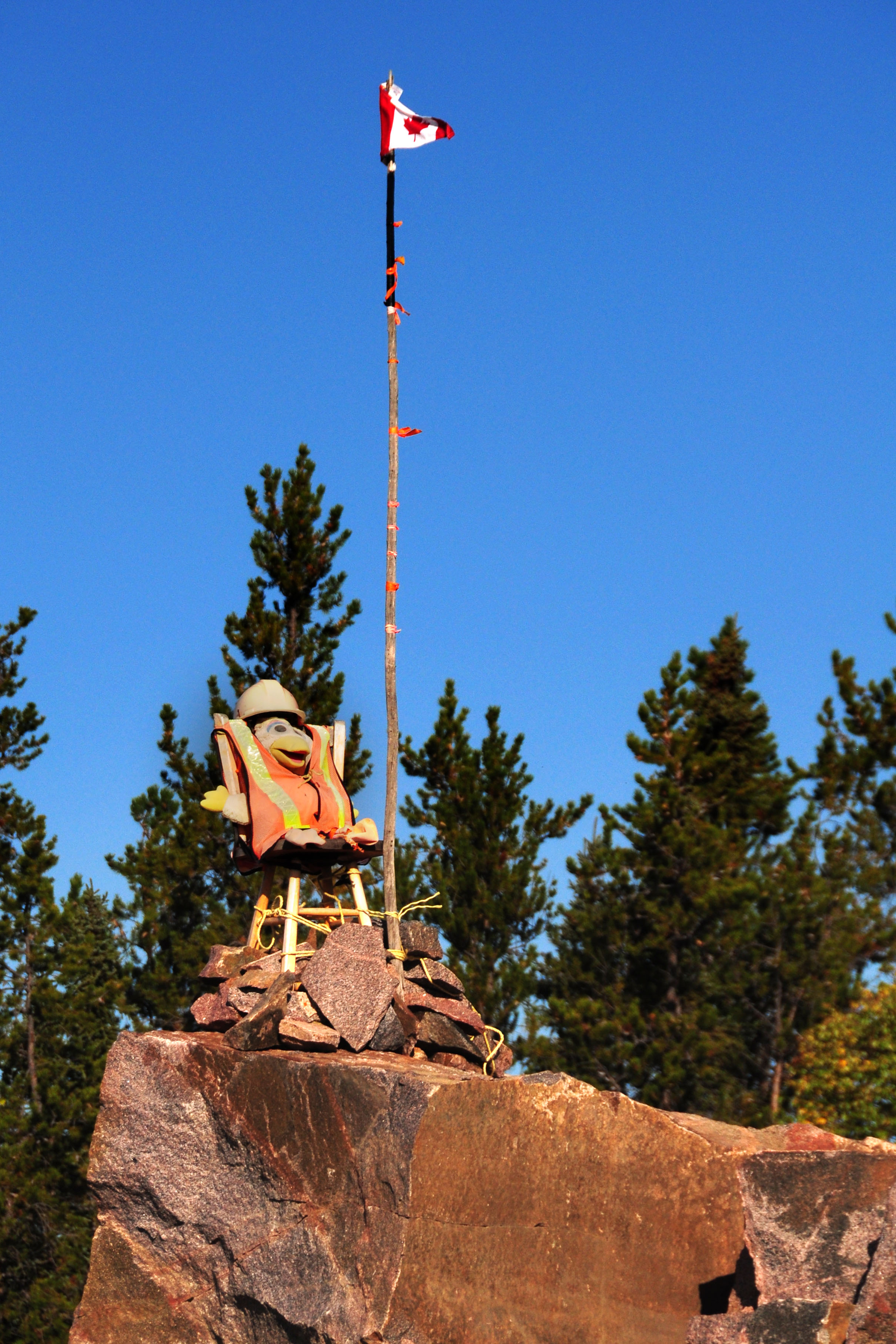
Nothing to see here, just a duck and a flag.
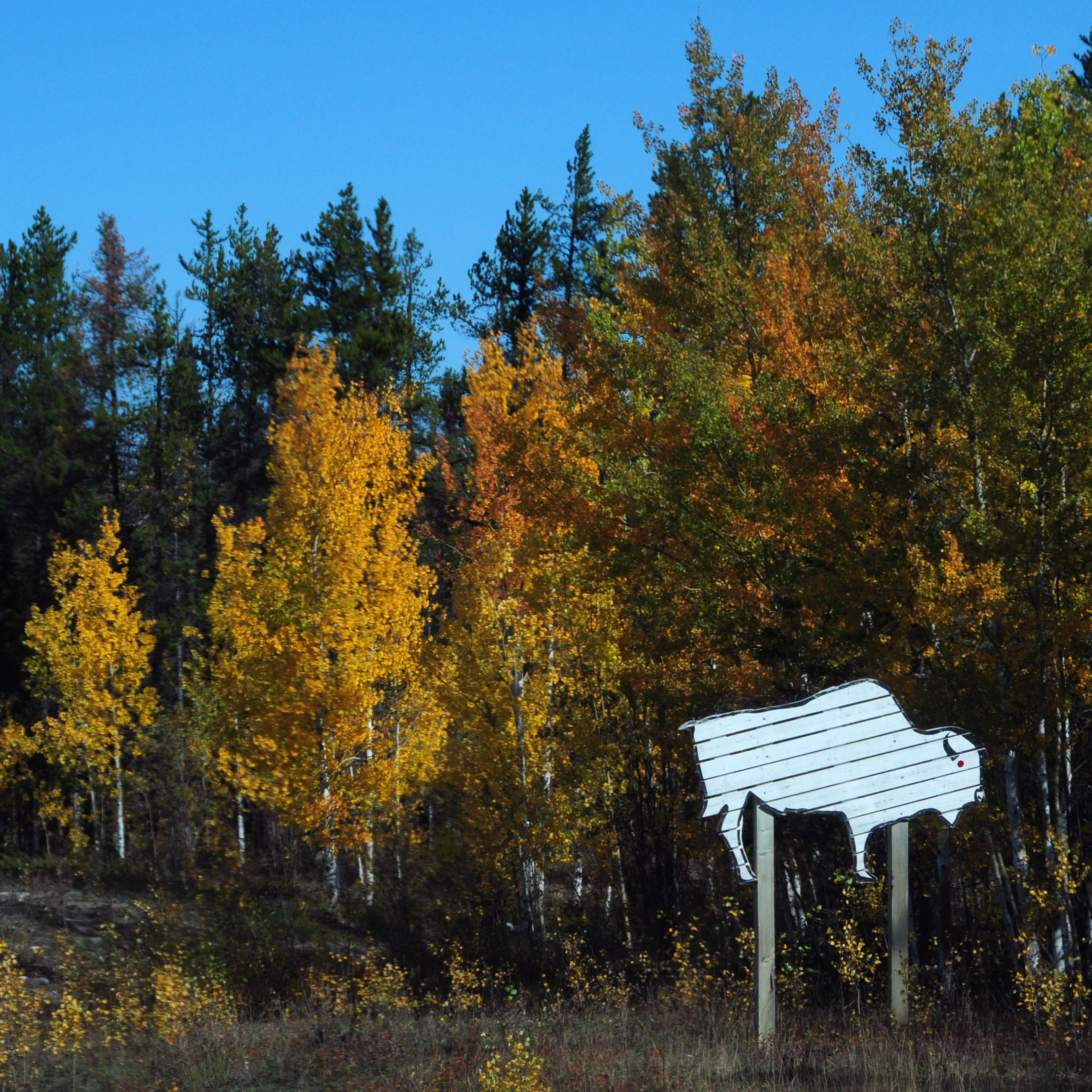
Cutout bison seems to be made of individual planks.
Fall colors.
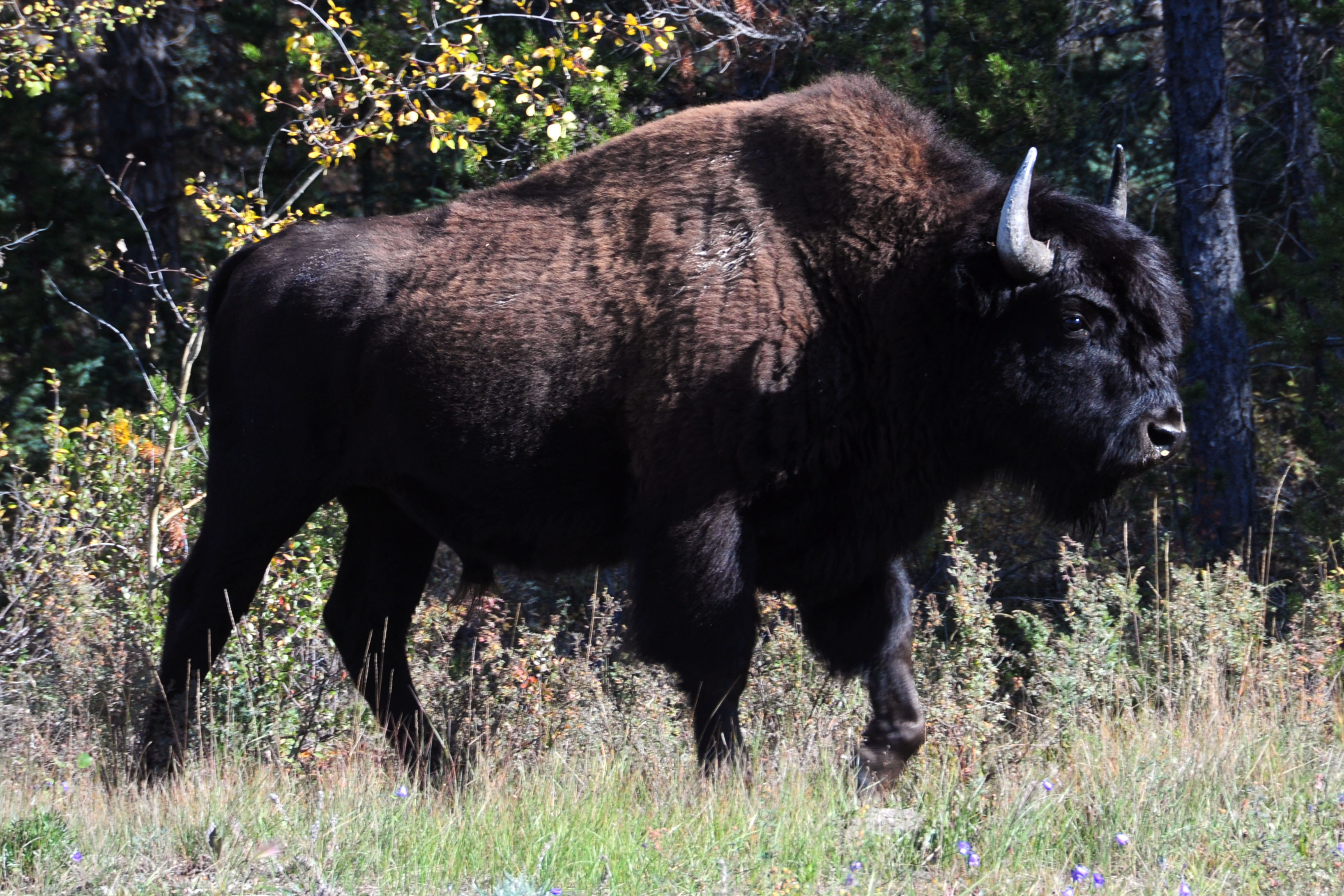
The bison sign proves accurate.
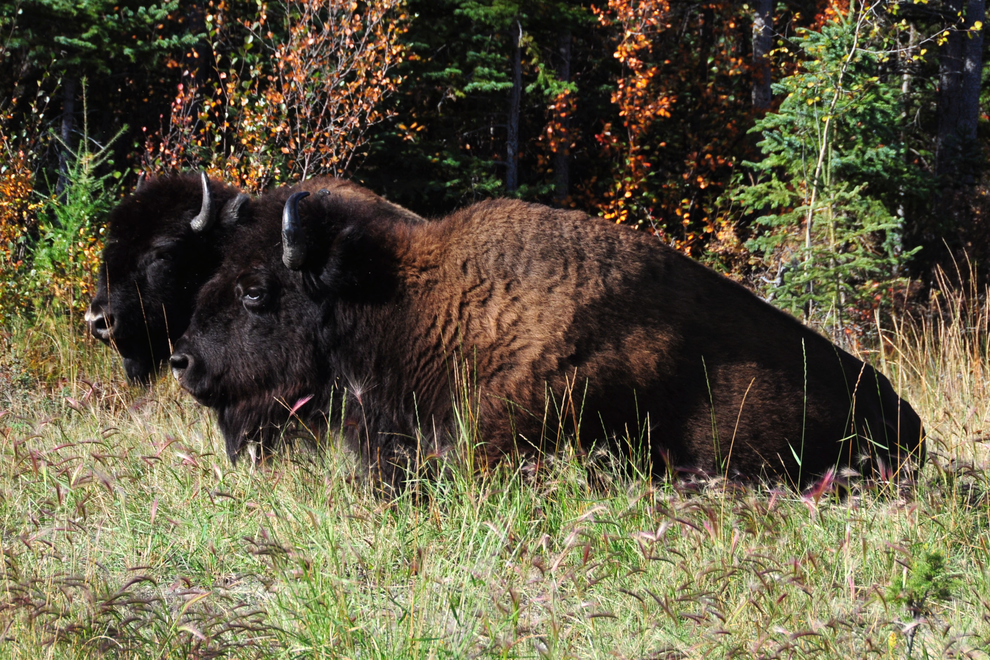
A pair of bison. We’re in the middle of a large herd.
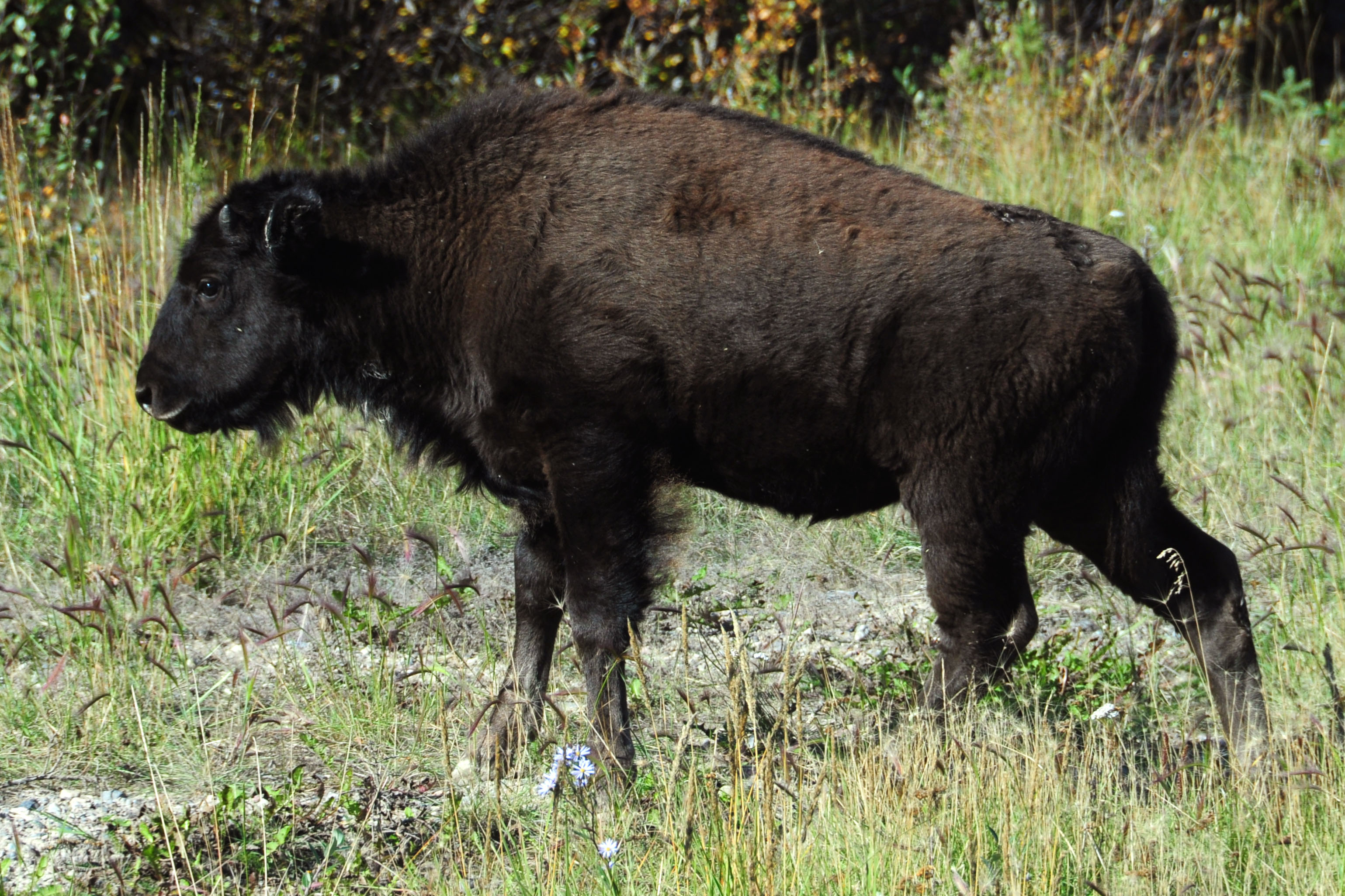
A year-old bison: young enough to look like a calf, but with the dark brown coat of an adult.
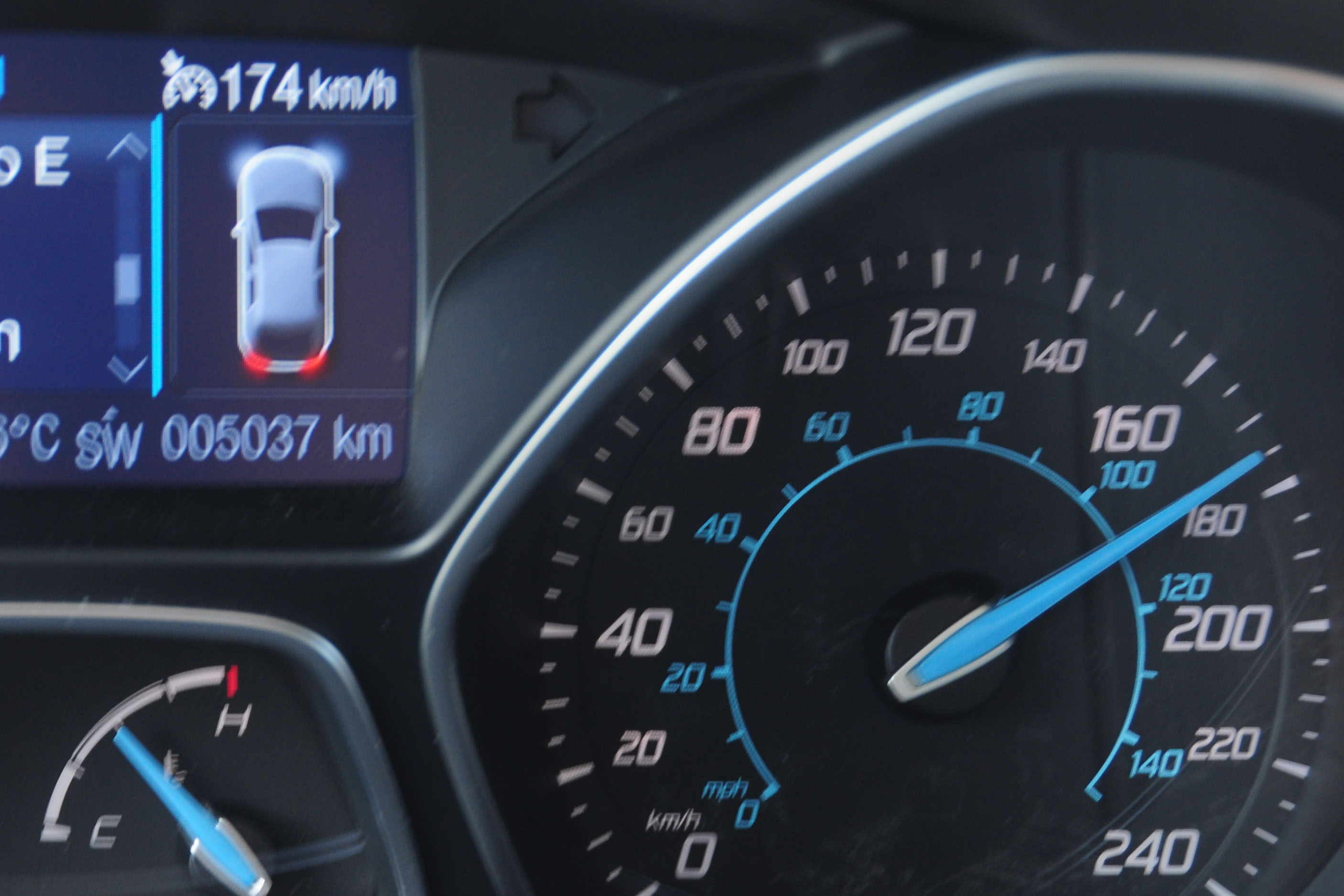
No traffic. No highway patrol. Set cruise control to a reasonable velocity.
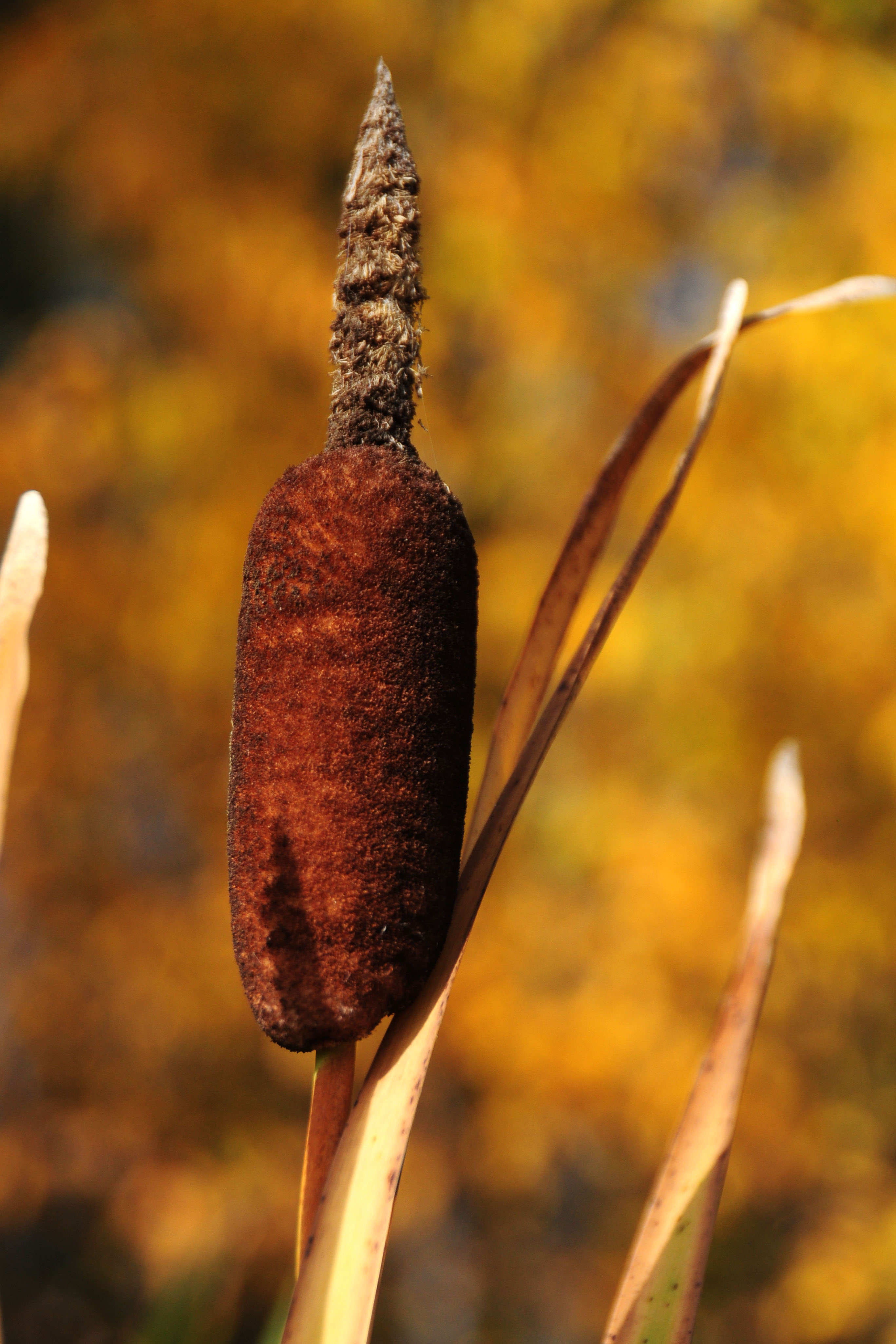
I’m not sure what this plant is, but – let’s be honest with ourselves here! – it looks like a fuzzy turd.
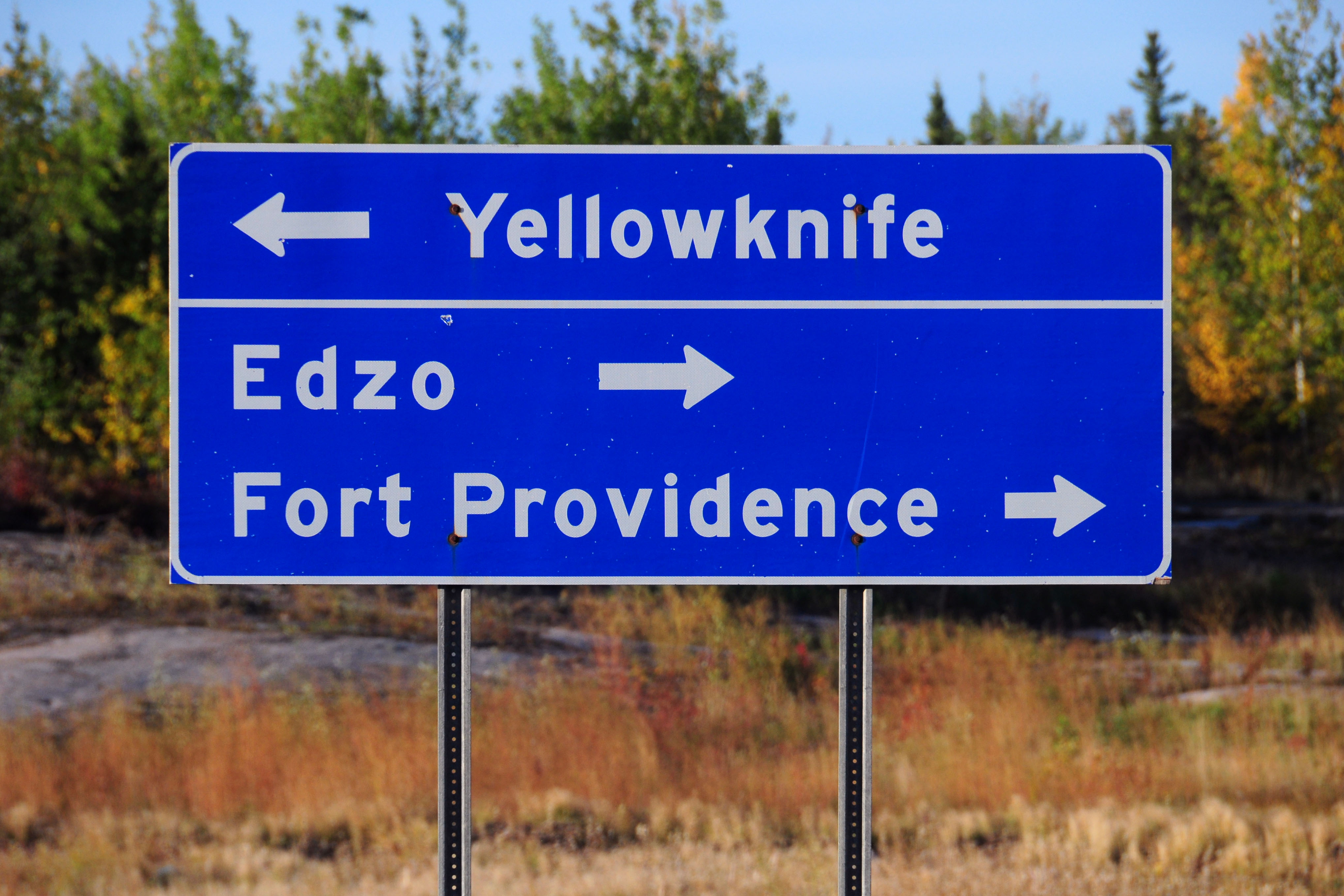
A look back up the road to Yellowknife, even though right now we are heading back towards Alberta.
Plenty of older green signs still survive.
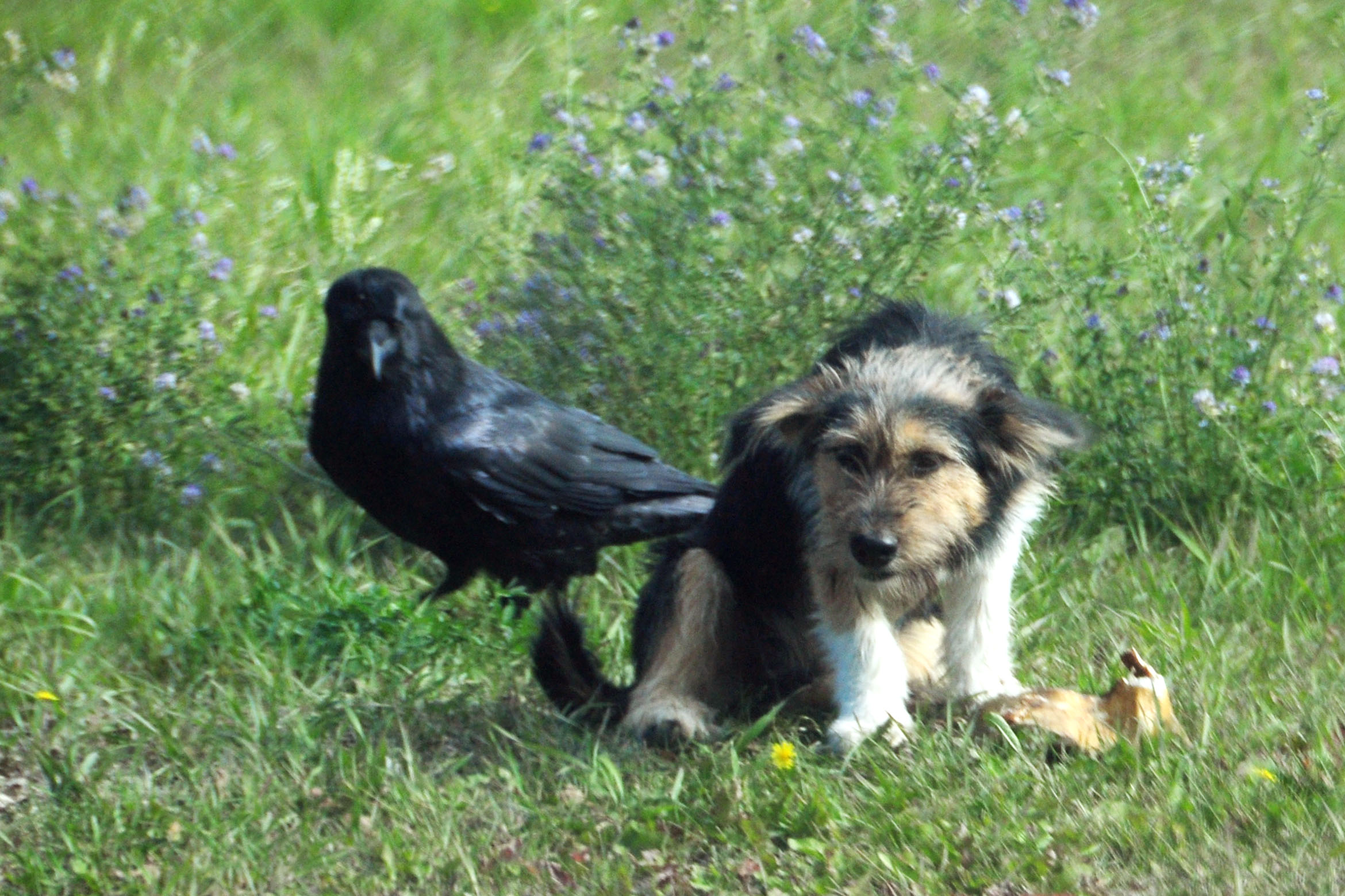
The crow is eyeing the dog’s lunch.
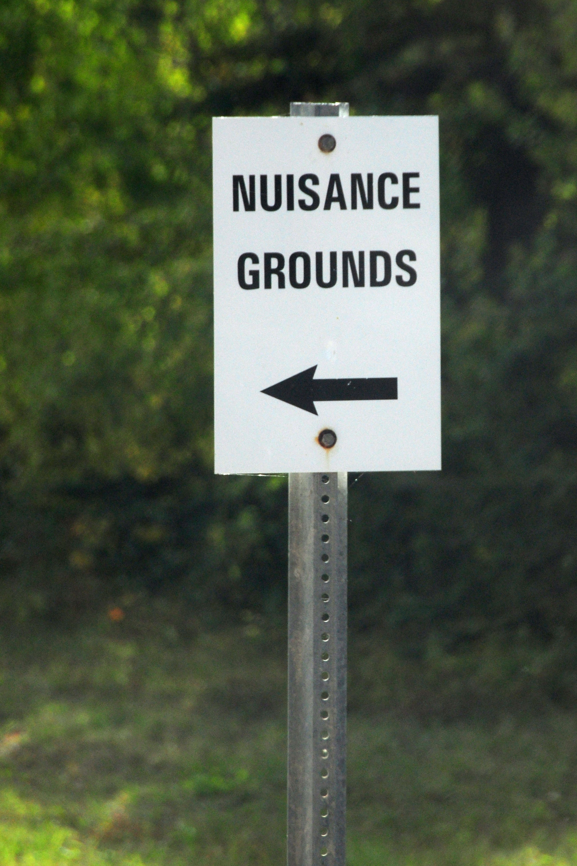
Bring out your nuisances. The sign, by the way, points to the garbage dump.
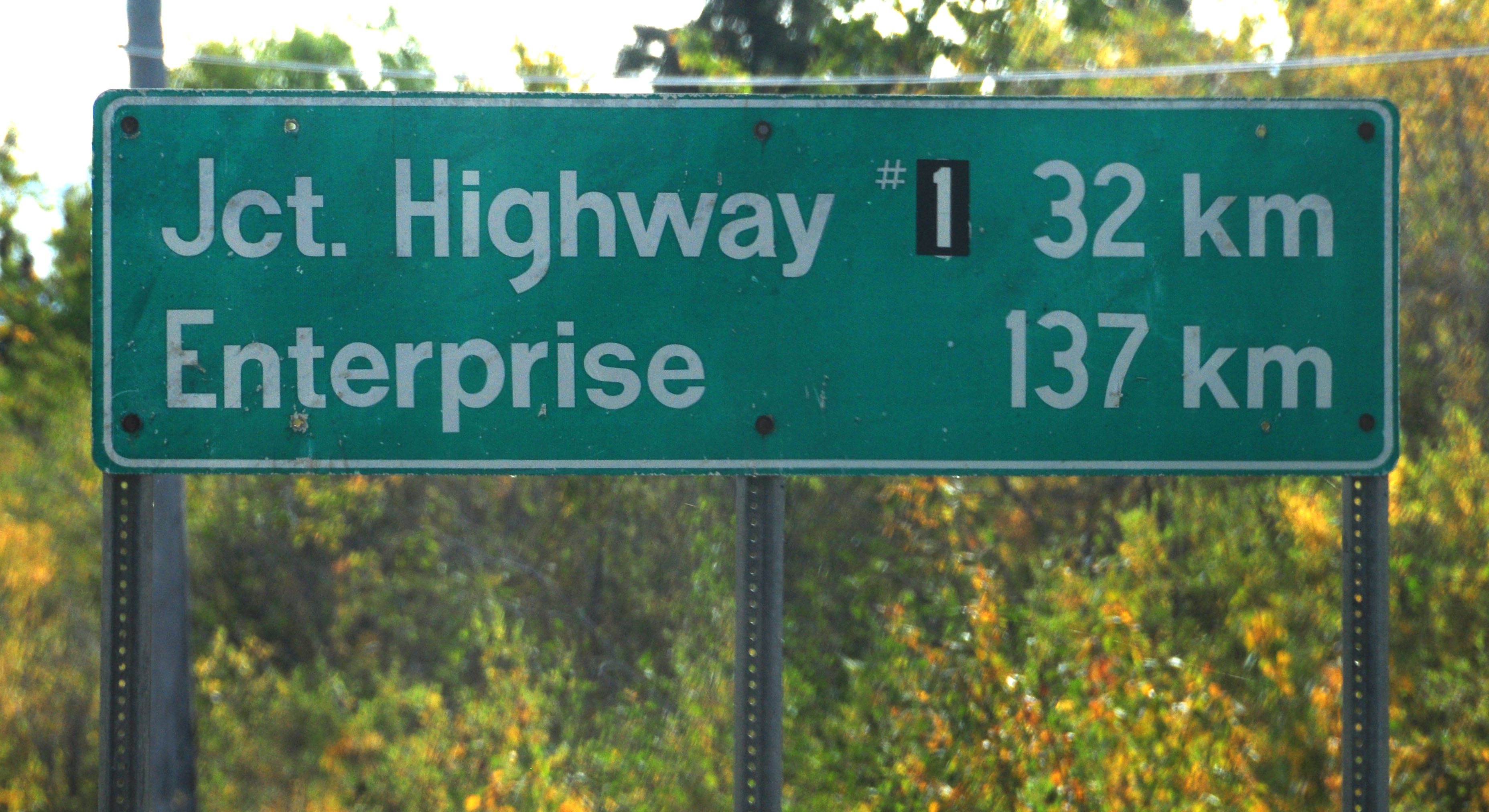
The sign at one point said “3” instead of “1”. We are on highway 3 – the sign was an error.
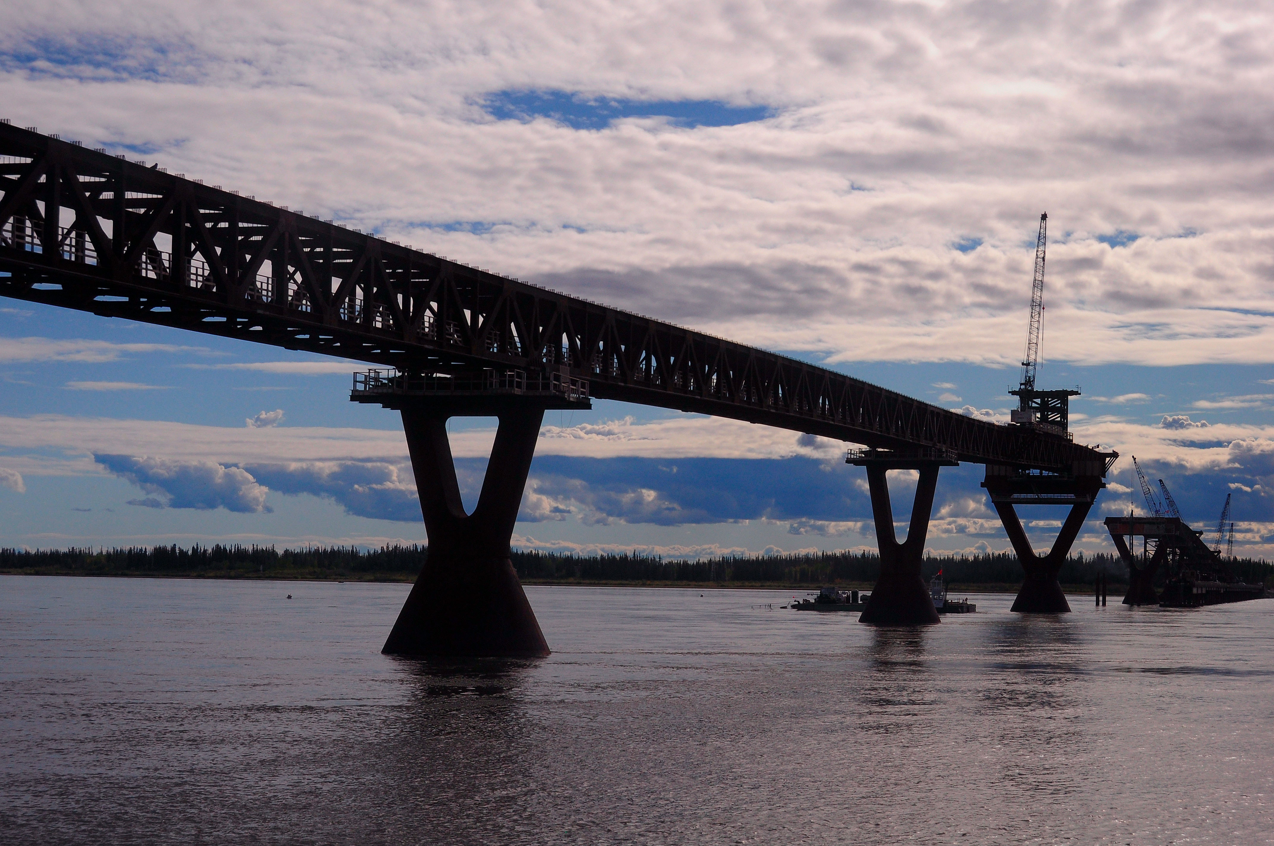
We find ourselves back at the uncompleted bridge at Fort Providence.
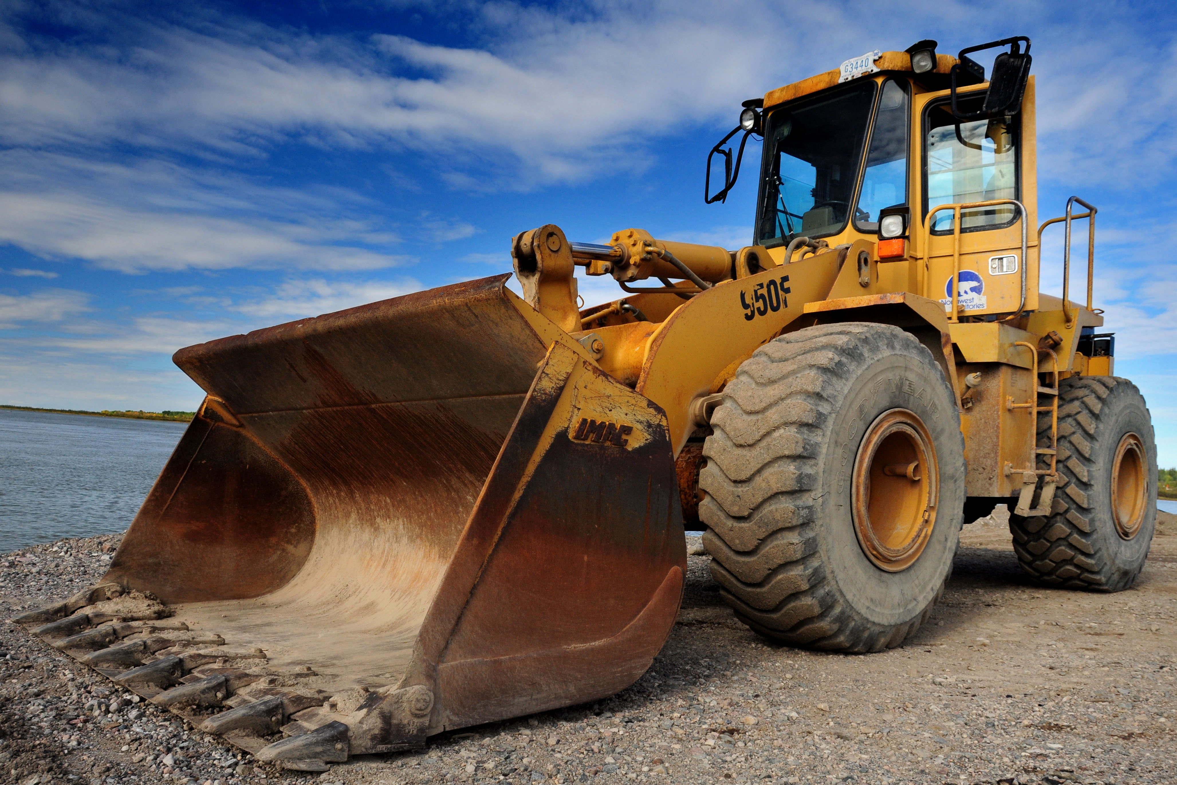
A large piece of construction equipment.
We are on the ferry now.
Similar view as in the morning.
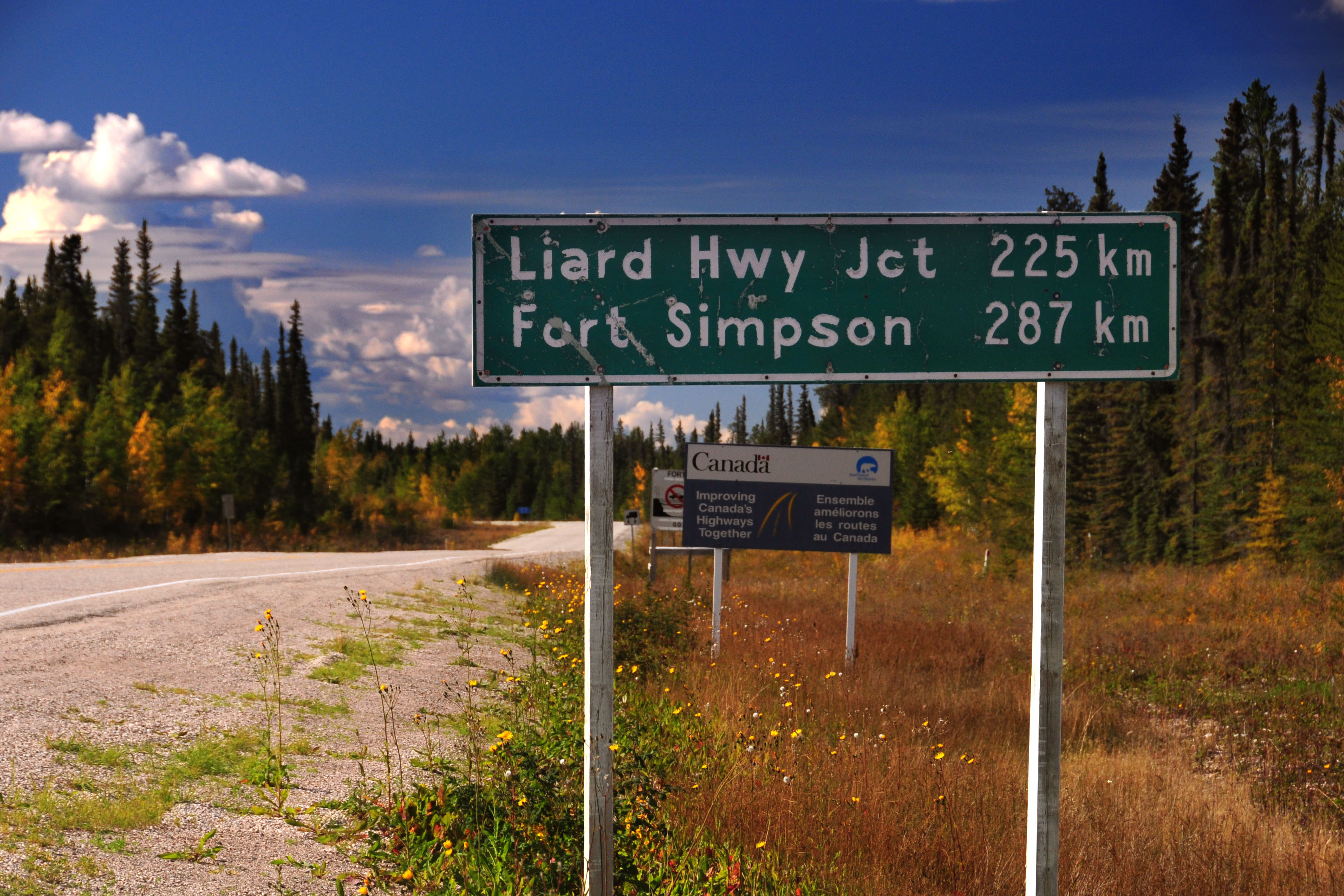
This might be the oldest sign we see on the trip. Very much custom fonts here. The road turns to dirt a couple miles down, so we will not continue that way.
The only green bear I found. Turns out there is another one at this junction which I flat out missed. Fearless and indestructible AARoads contributor Jim Lindsay got a photo of it a week before I was there, so it is preserved for posterity.
One of many random two-track roads that go to who knows where.
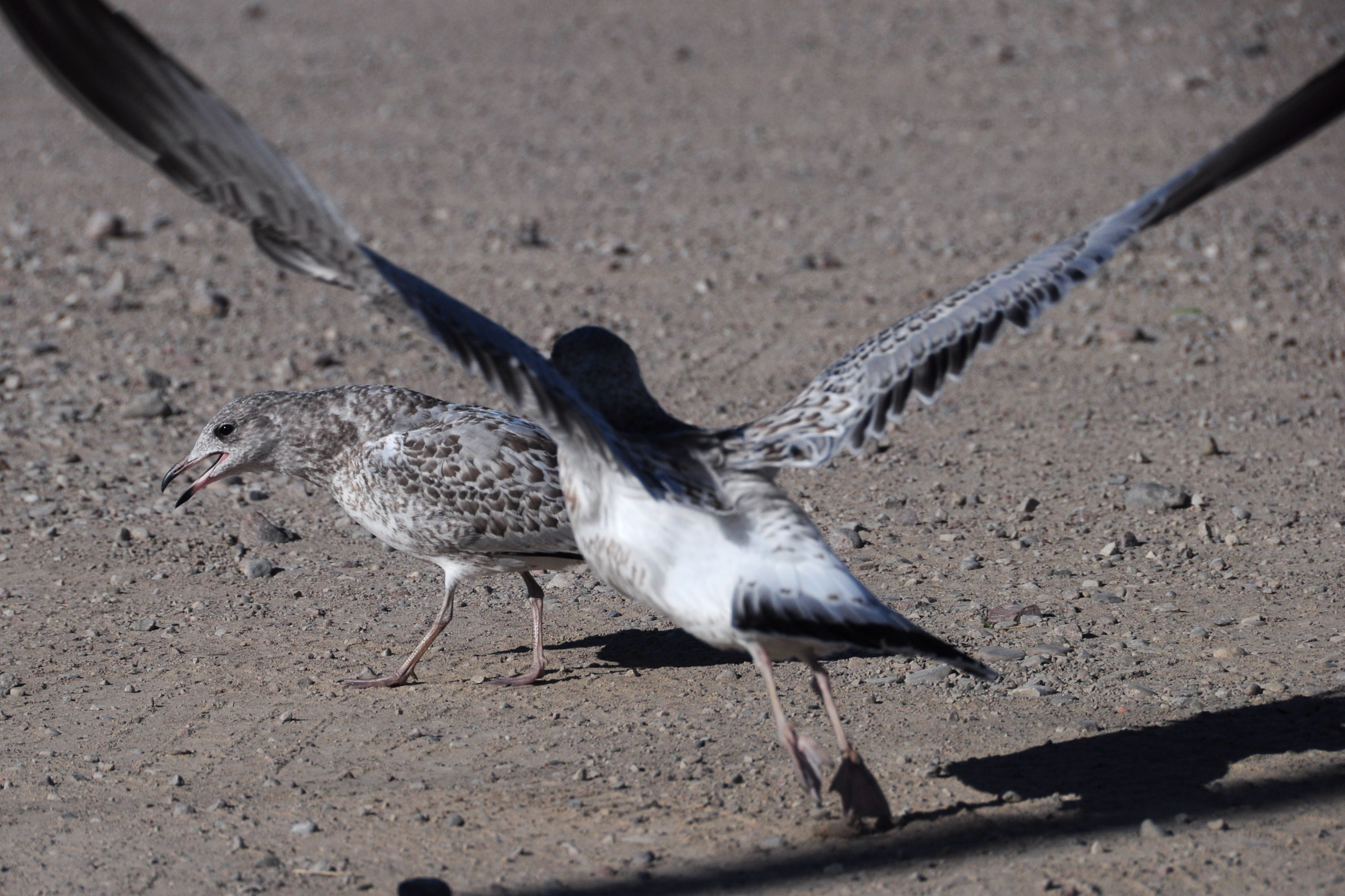
An incident of That Gull.
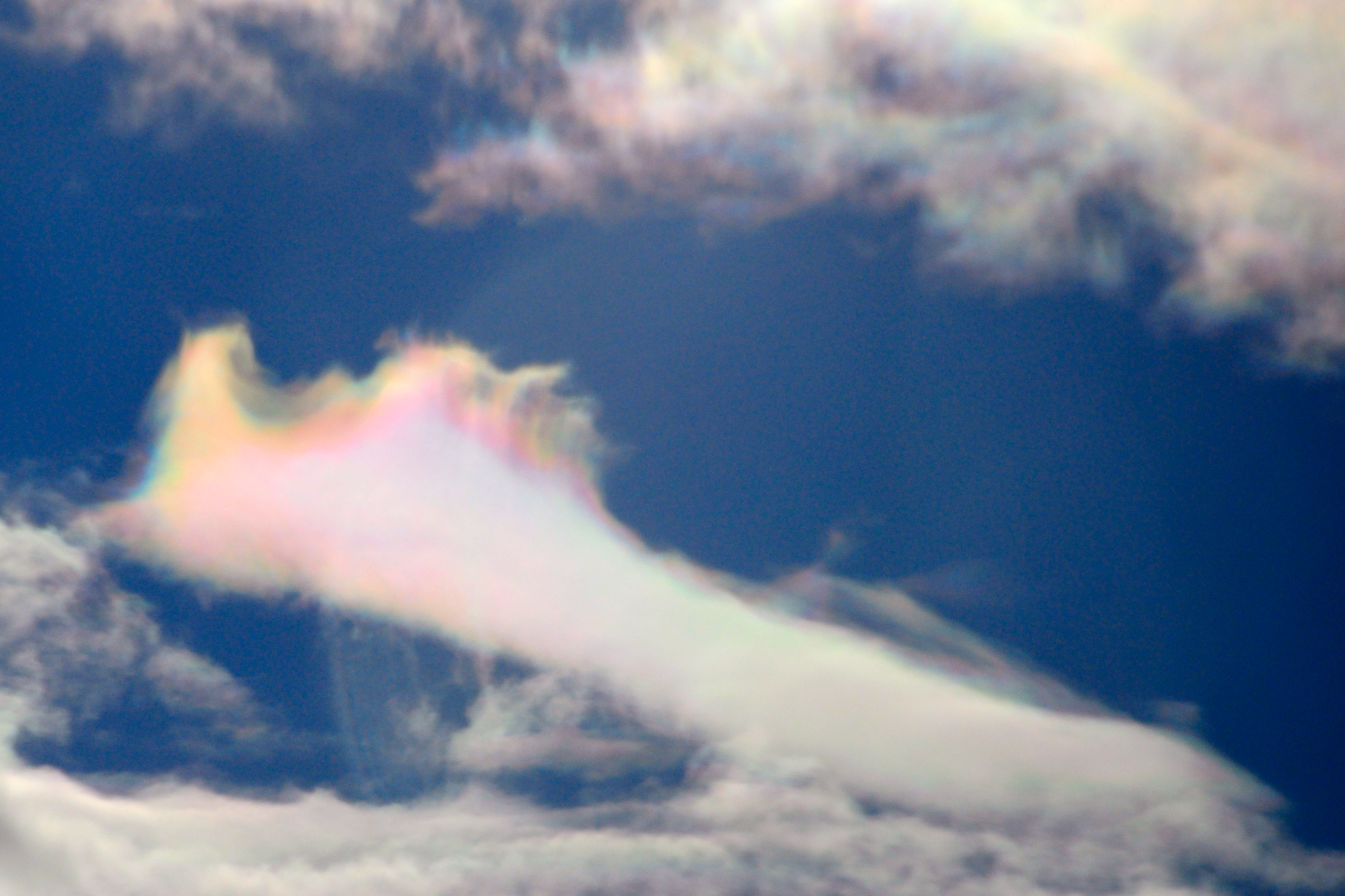
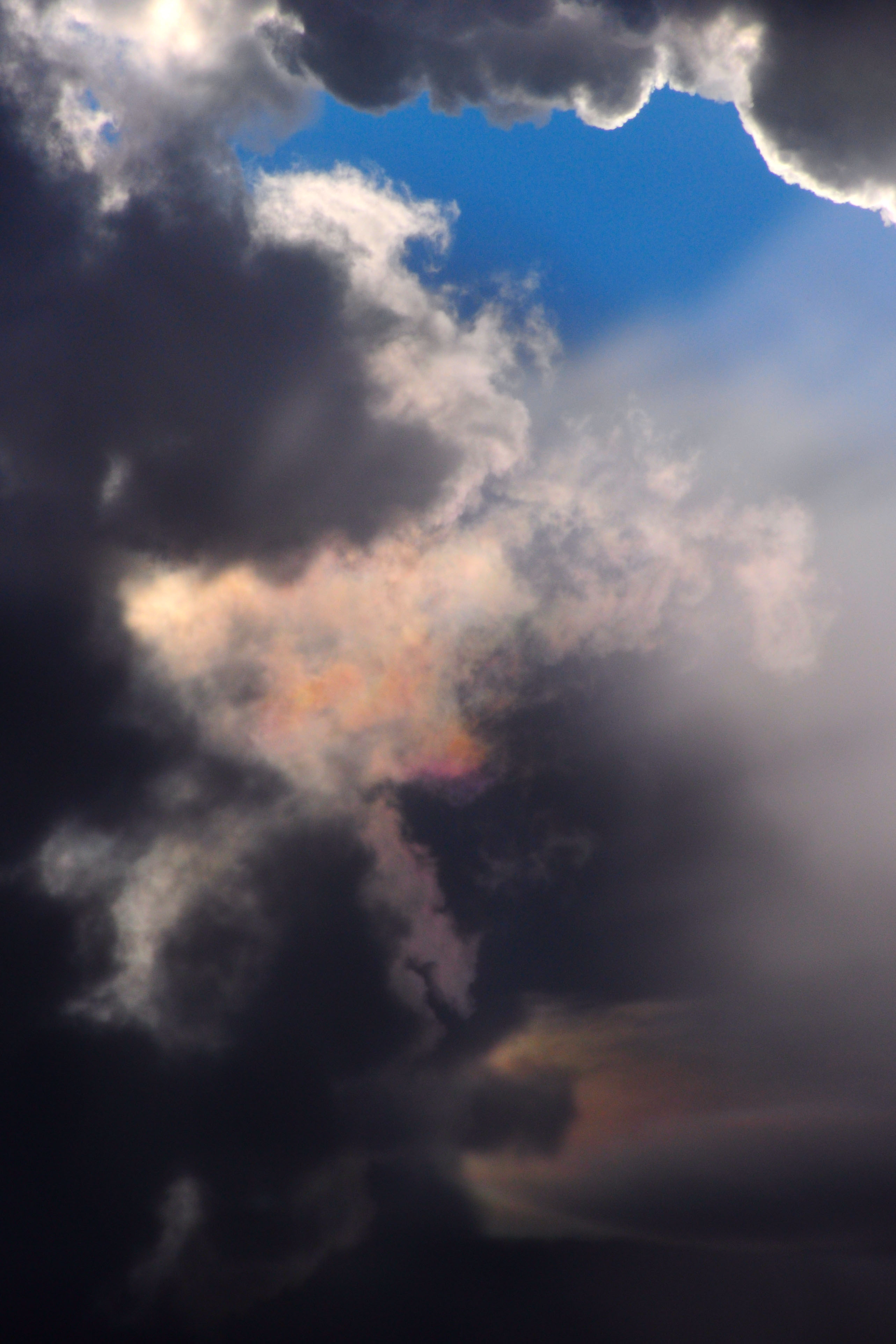
Some iridescent clouds.
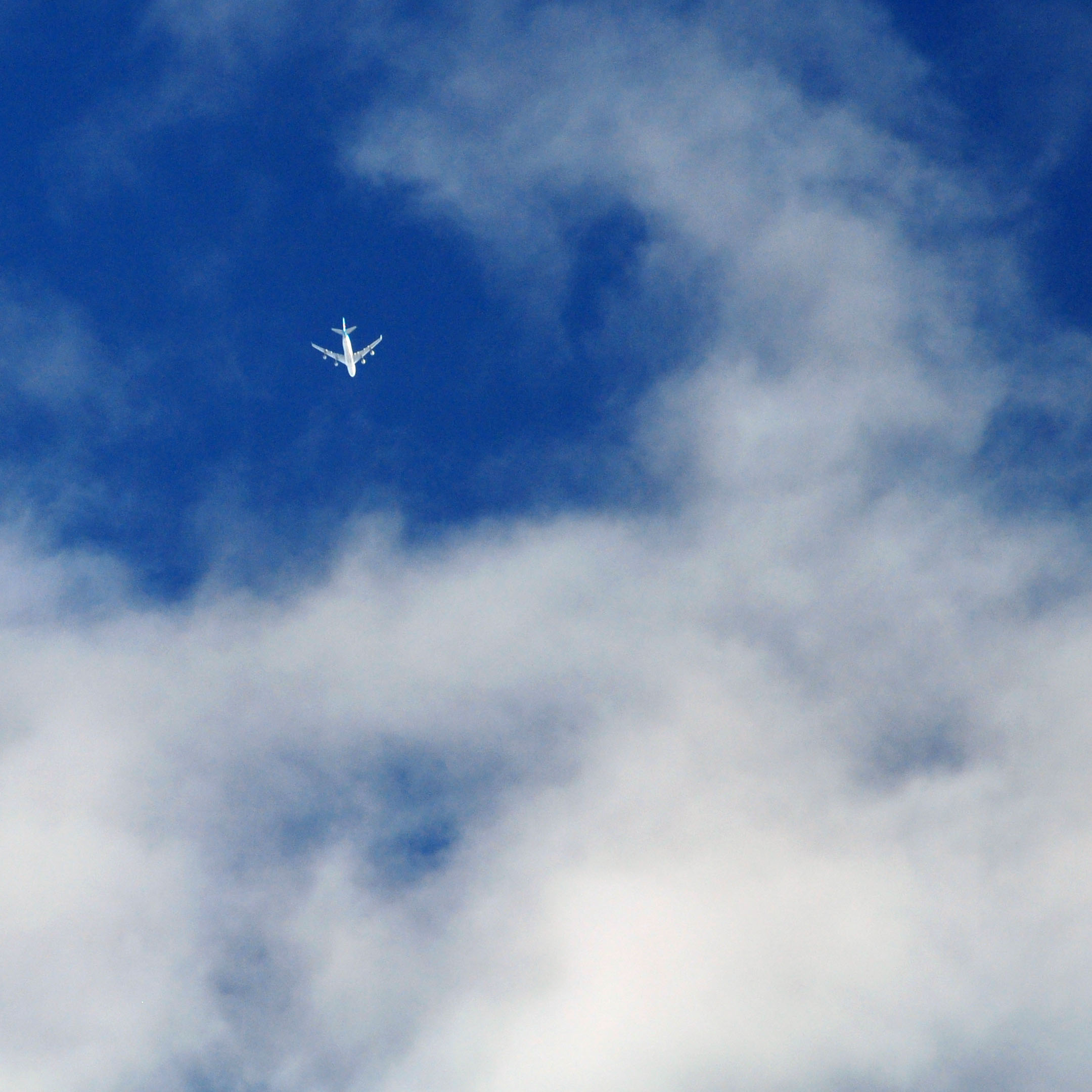
I believe this is a Korean Air flight. Blue tail livery, and the general trajectory seems about correct for Seoul to Toronto or New York.
More yellow trees.
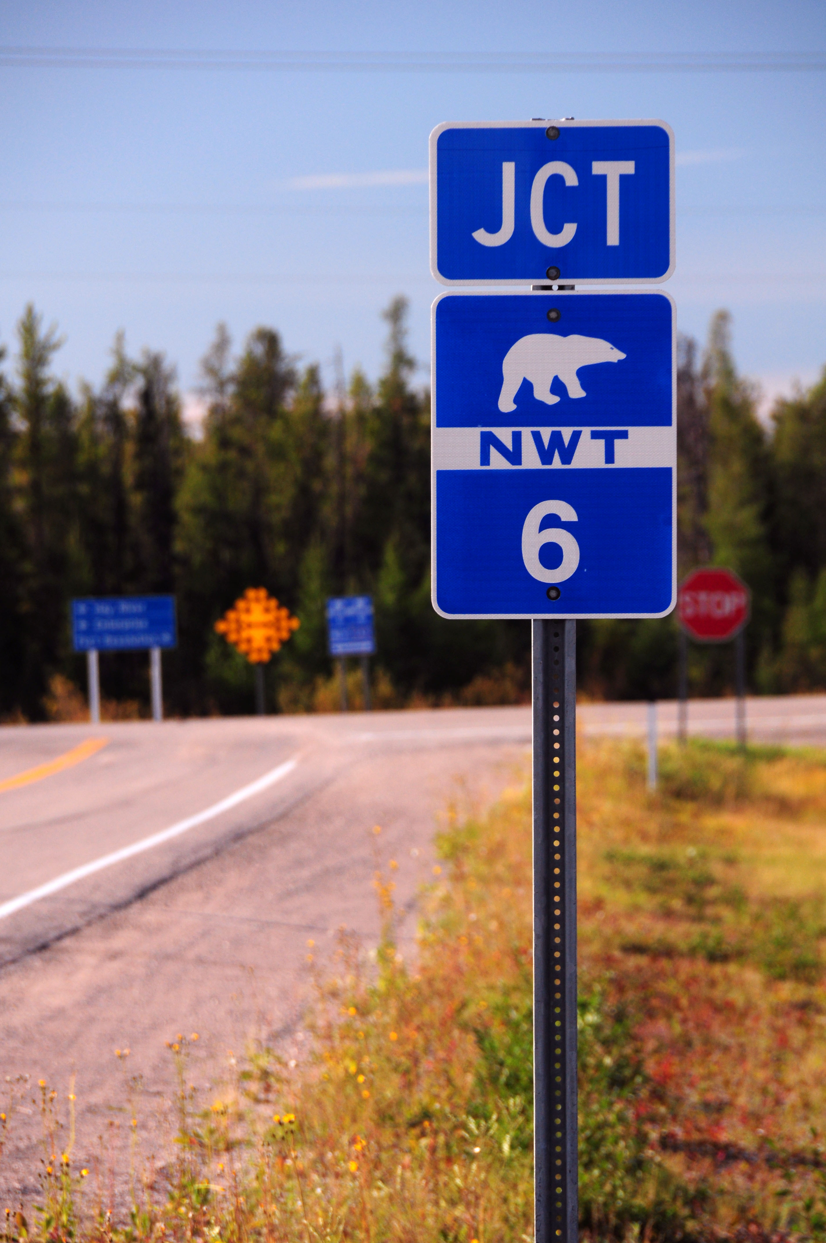
the farthest east we will head in Northwest Territories is the 5/6 junction. Alas, here we see no green bears.
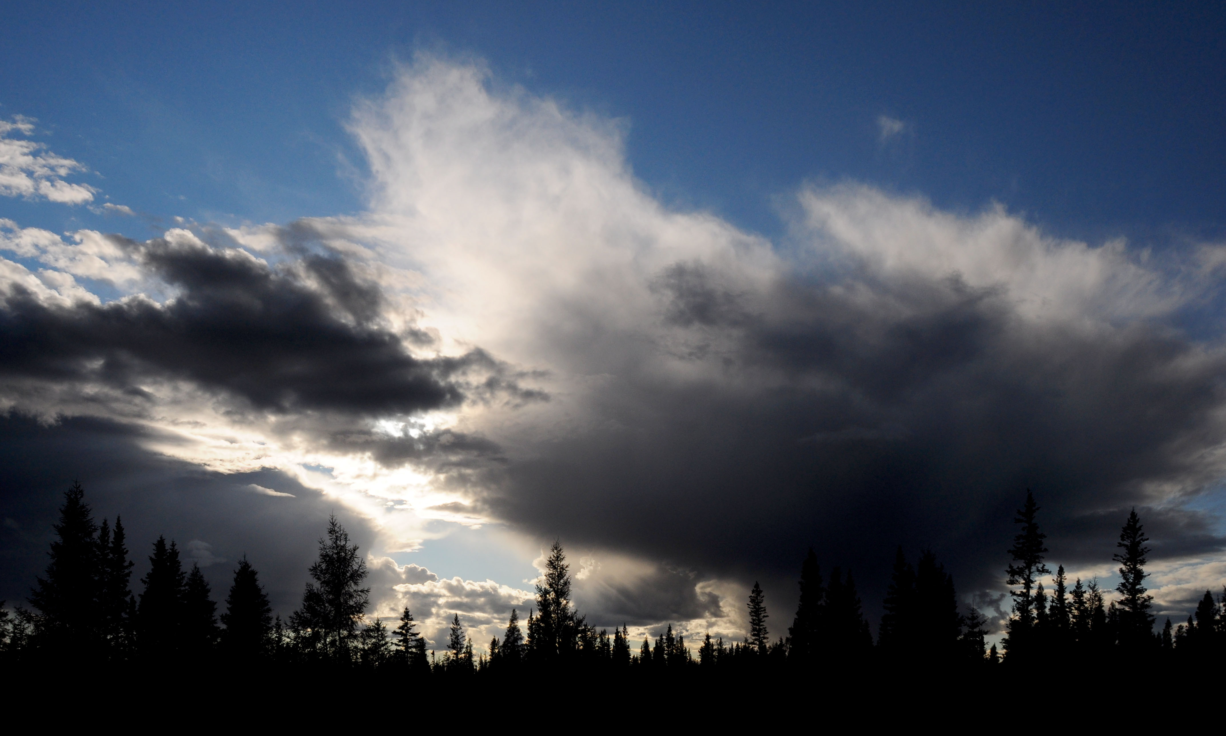
Ominous distant clouds.
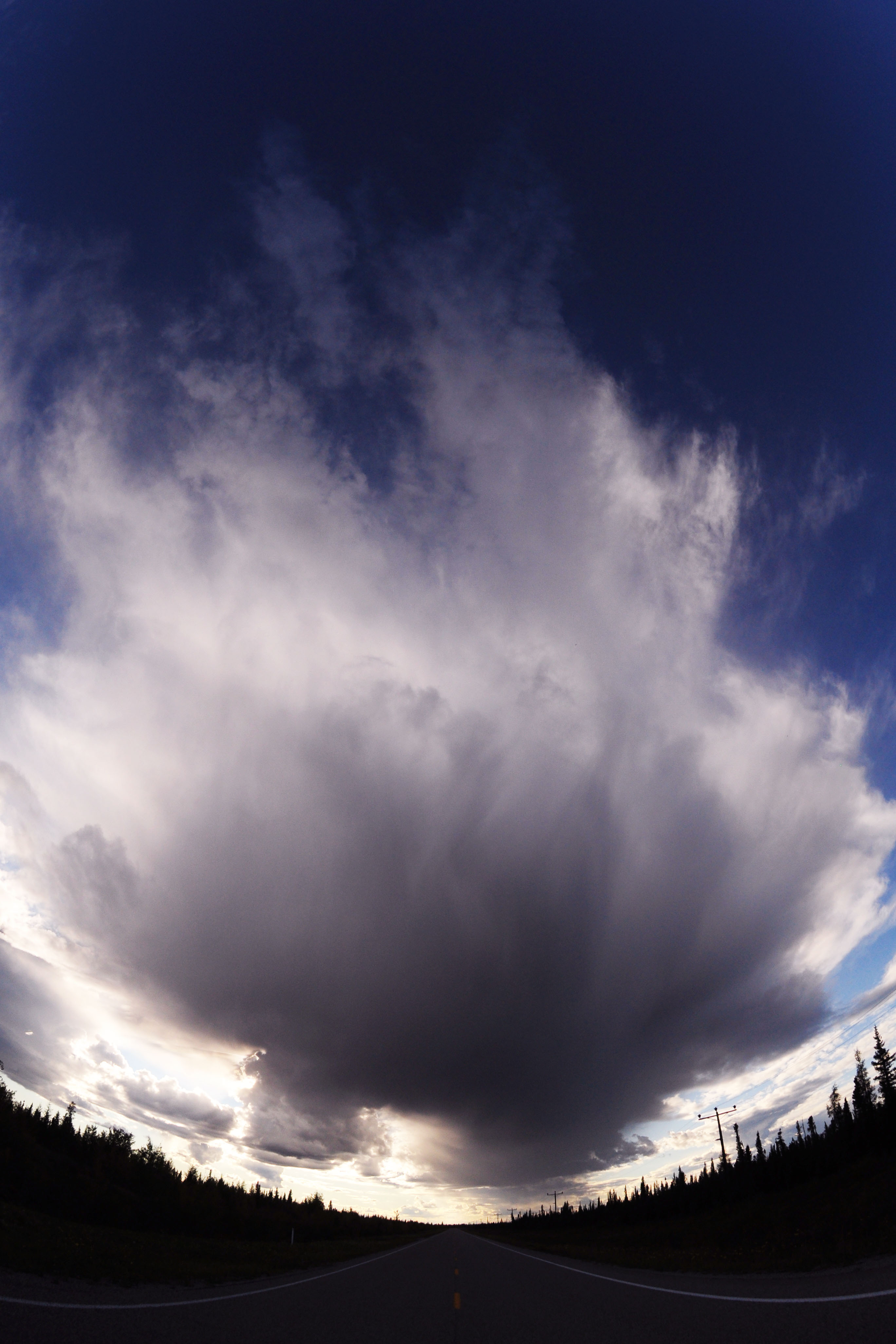
A cloud so big it needs the fisheye lens to be fit in correctly.
A small flash of color.
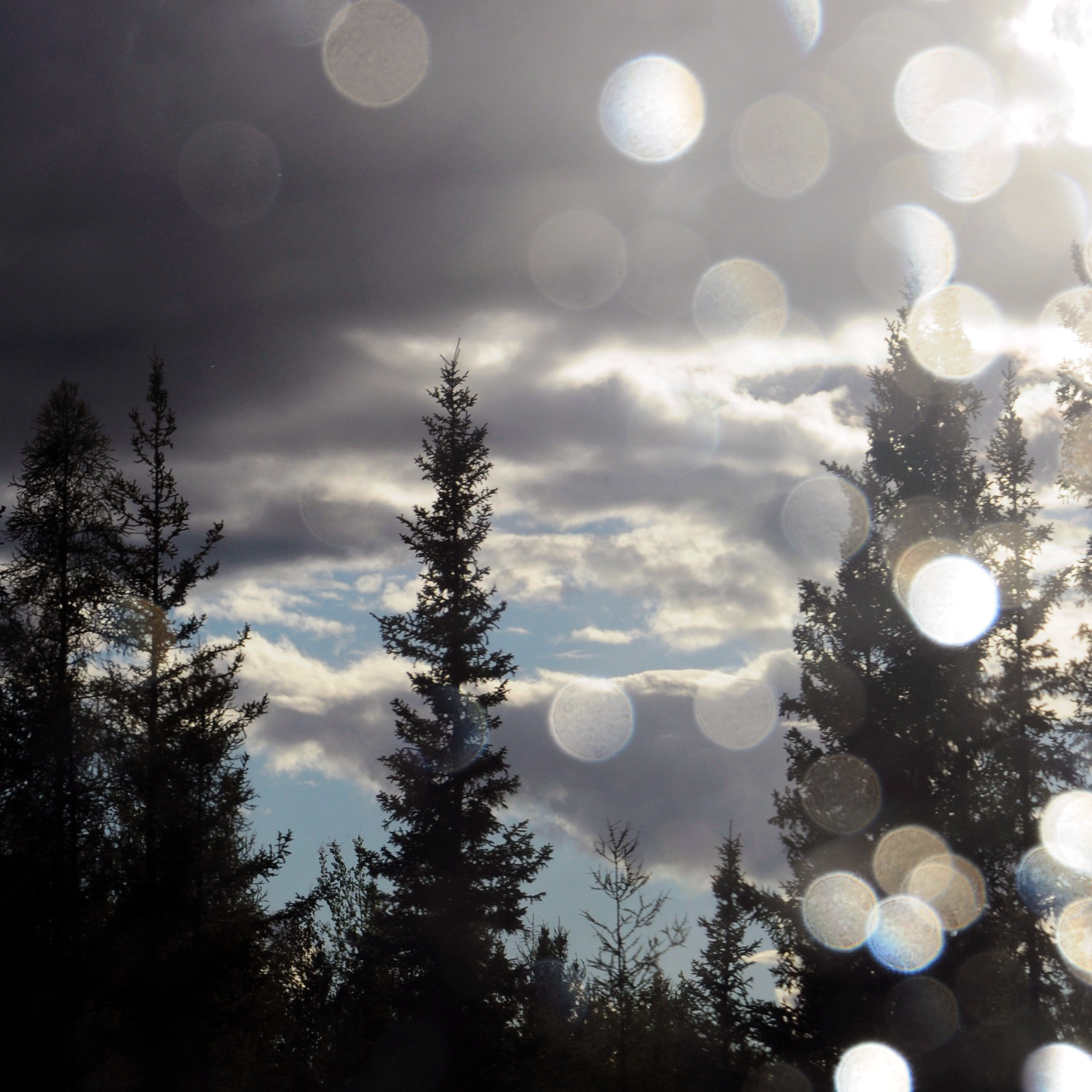
A bit of a rain shower on the windshield.
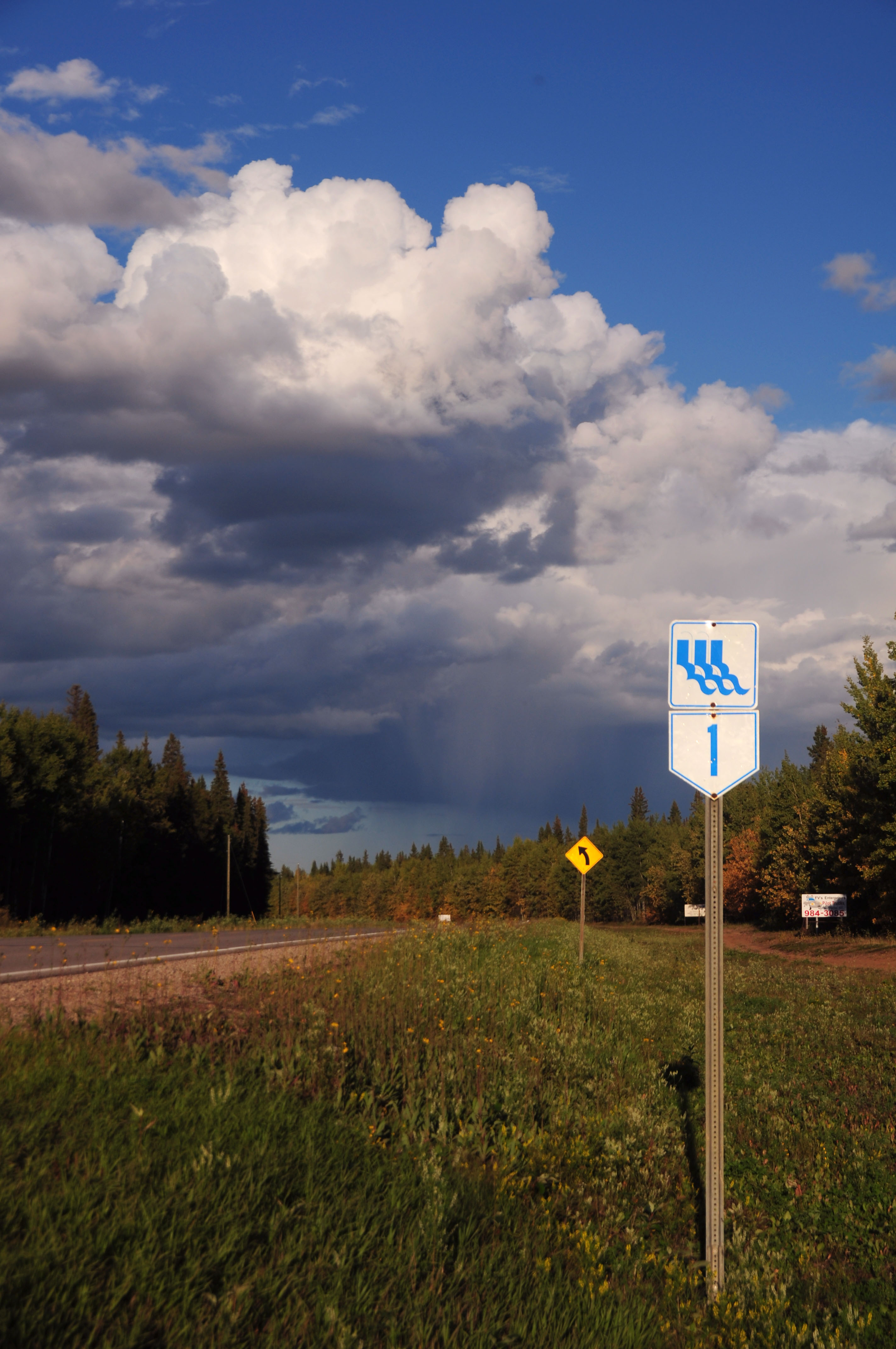
A better look at one of the Waterfalls Route markers.
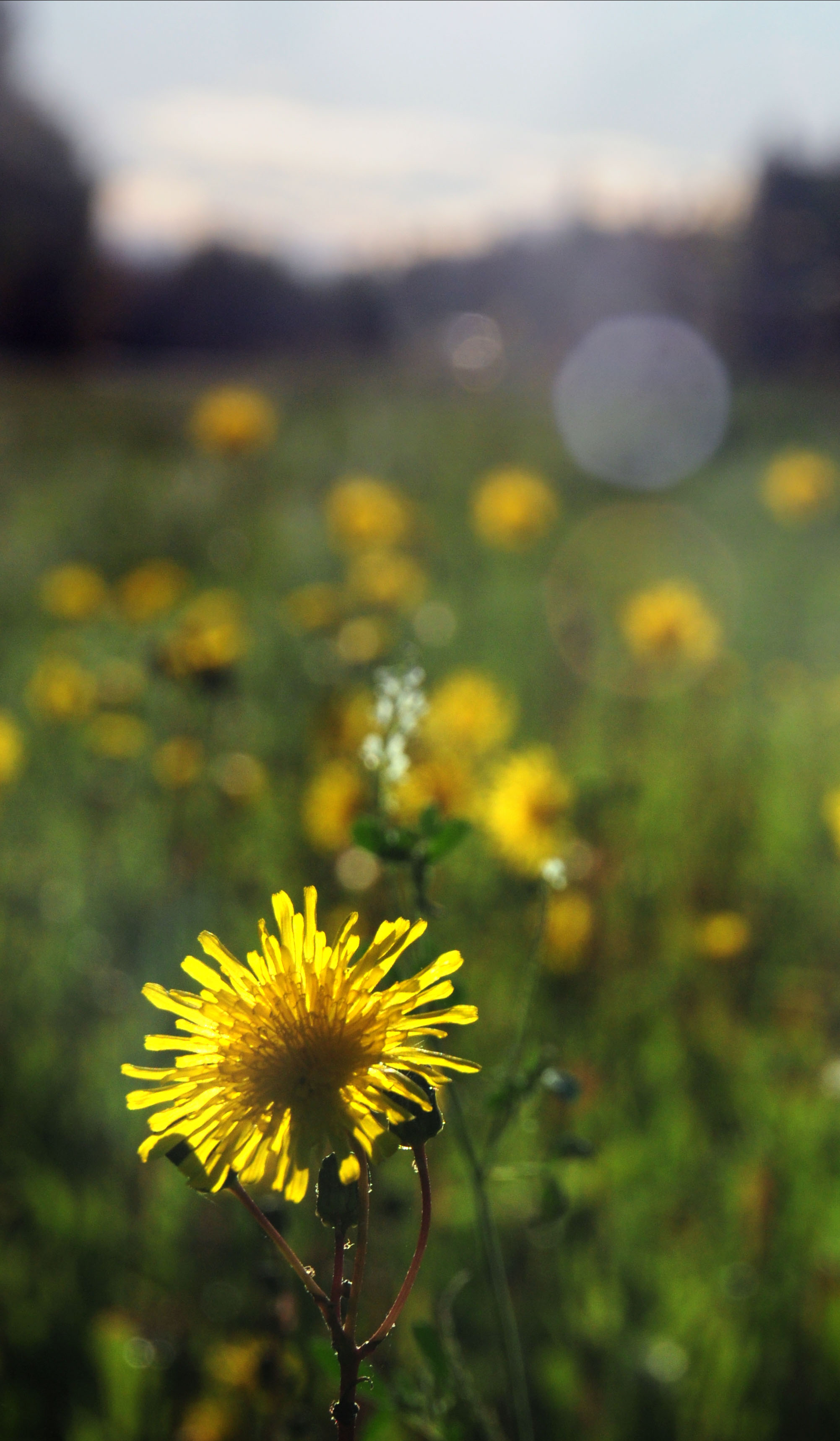
Shooting dandelions directly into the sun.
Very bright colors.
And we’re going to leave off there with that sunset teaser. Next up – sunset and northern lights in Northwest Territories!
Nice pics. Interesting rust pattern on the truss bridge. Couldn’t help but notice that all the rust is on the lower portion of the truss. I’m thinking it could be from road salt becoming airbore in the spray created by passing vehicles.