
day four of the week-long excursion into northern Norway.

Day four features a trip to Kirkenes, the easternmost town in Norway. Further east than Istanbul, even! A bit of beholding of our dear Russian neighbors, and then, heading back west, getting caught in whiteout conditions over the Eaštoroaivi mountain pass, then attempting to make a run on Nordkapp – the northernmost point in continental Europe – and getting stuck in a tunnel instead. Refusing to die, we instead go to Hammerfest.
On the left side of the image: Soviet Russia. Doesn’t look very exciting, does it? Or very different from the Norwegian side, for that matter.
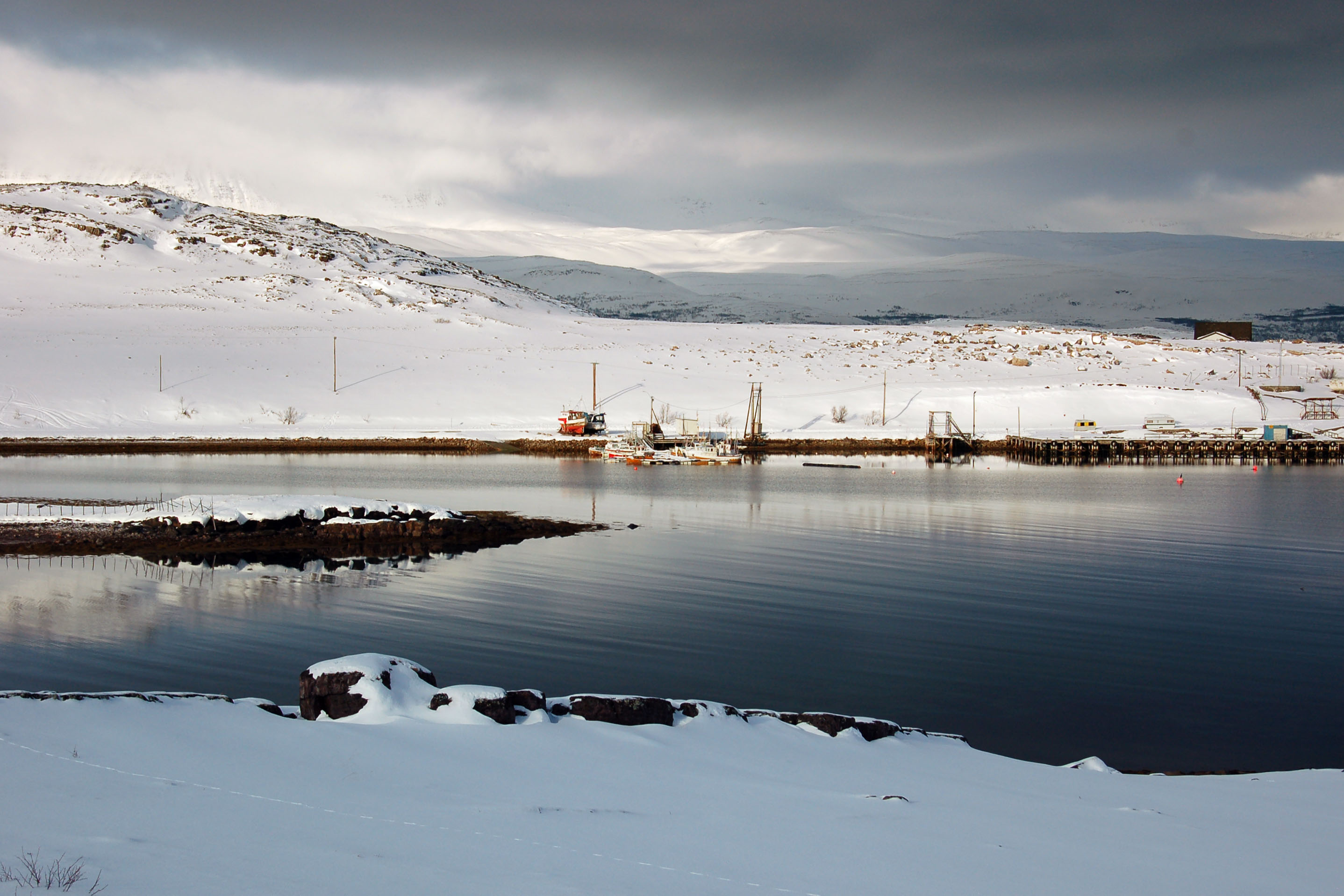
Life well north of the Arctic Circle. One village, two village, red village, blue village. Total population: 2. When the news is slow and the fish aren’t biting, they occupy their time by throwing paper airplanes at each other across the fjord.
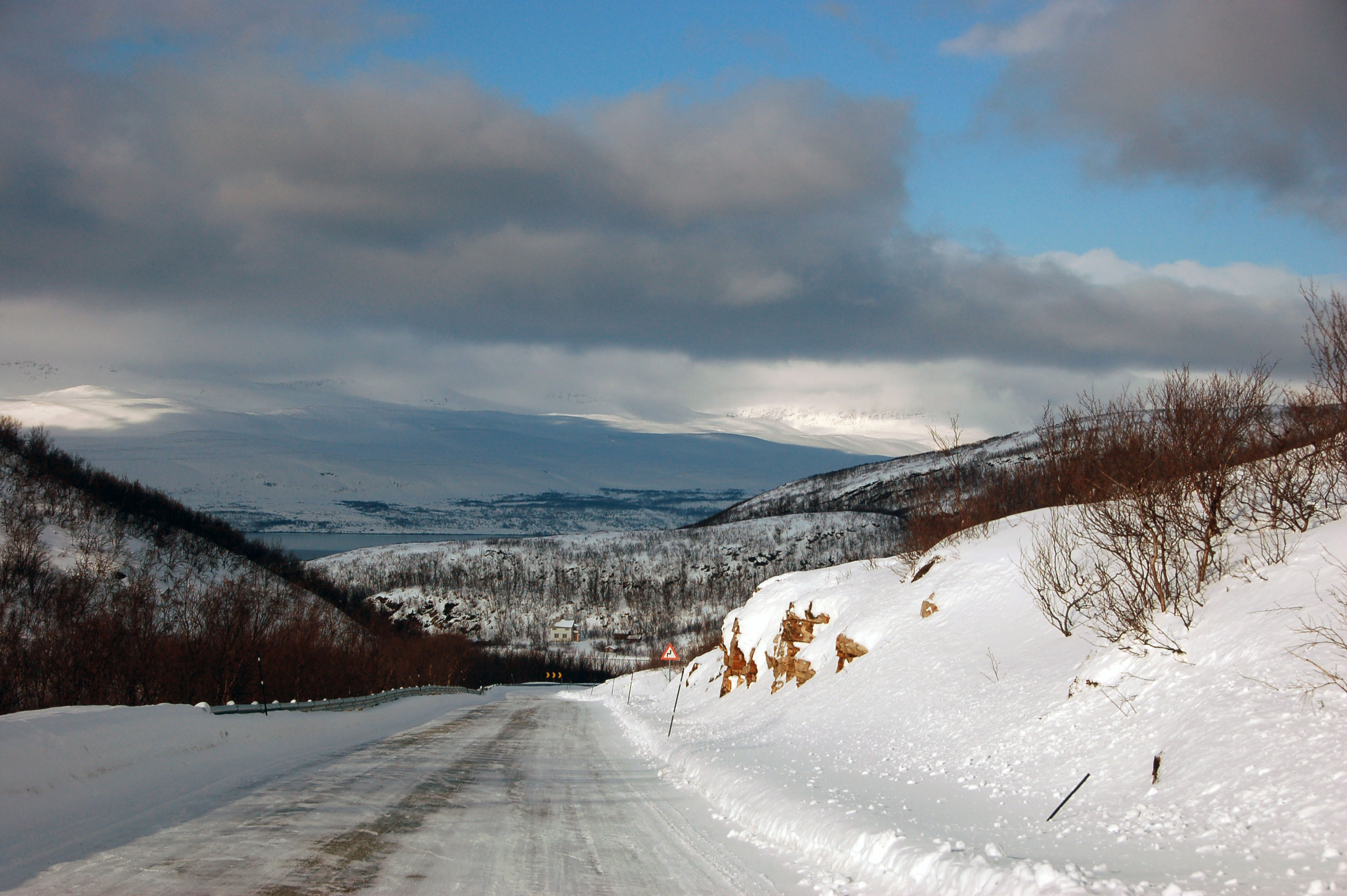
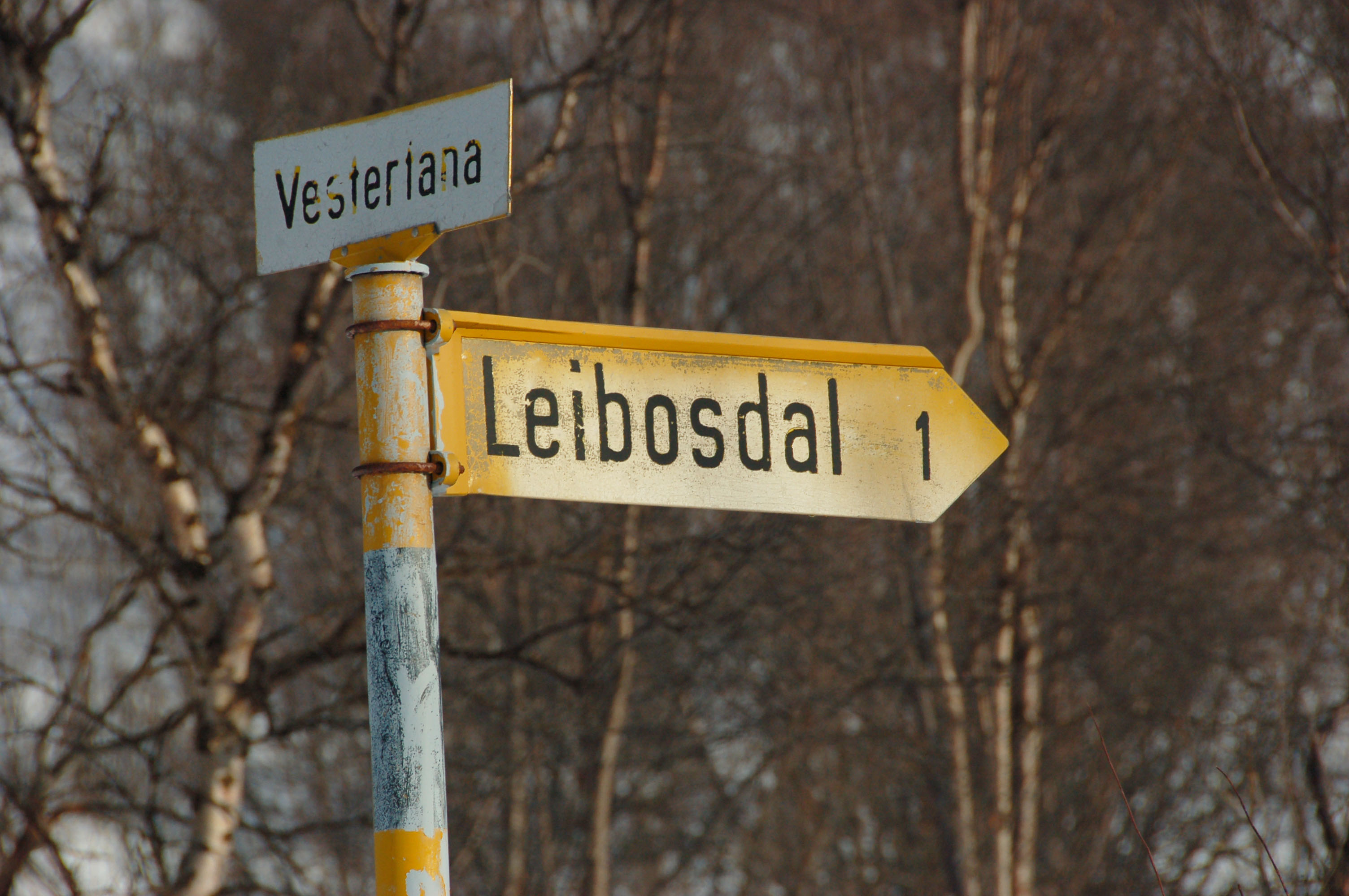
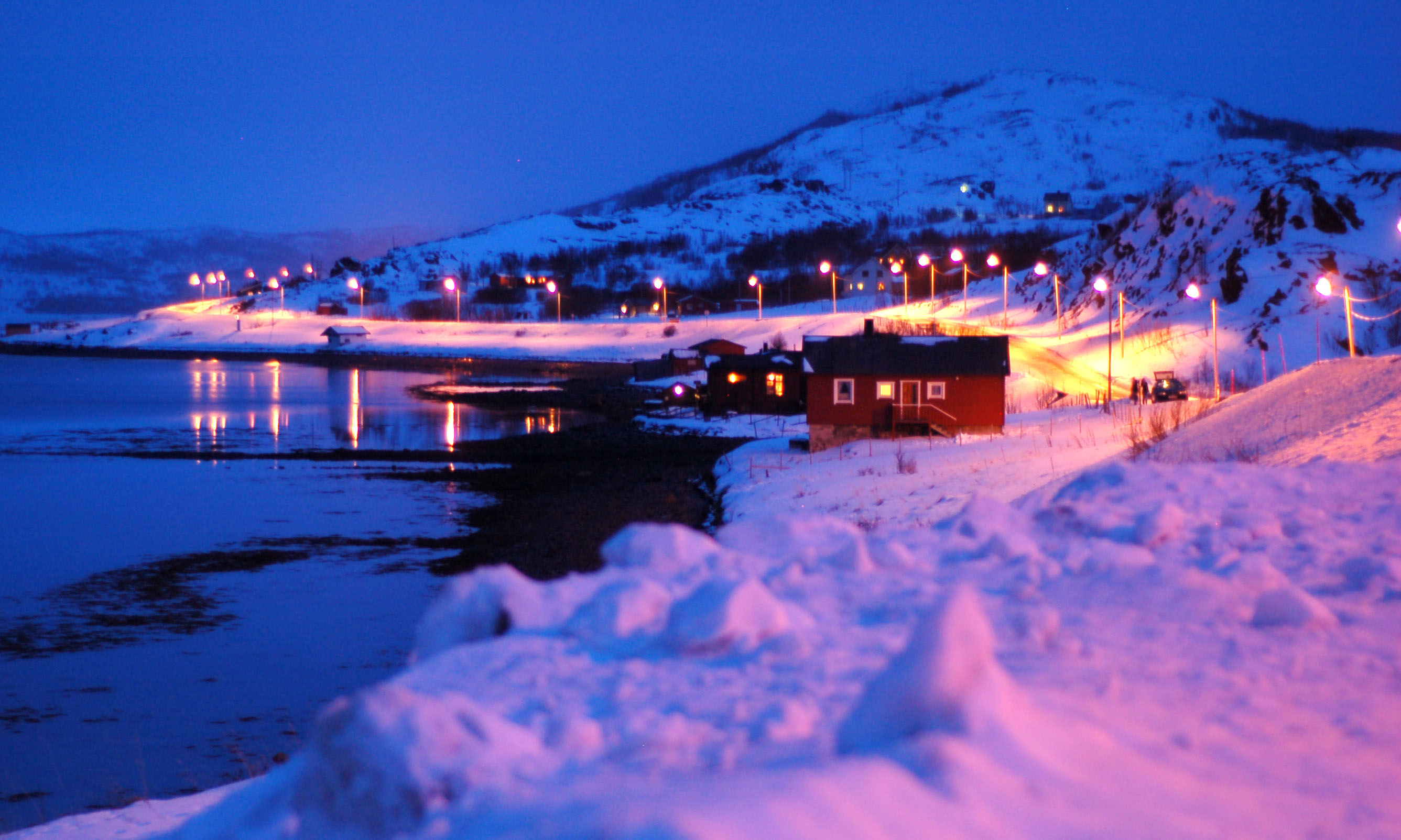
This place is not listed on the very detailed map of Norway I had with me. The closest I can pinpoint it to is to note that each house is on the shore of the Vestertana (“west Tana”) Fjord.
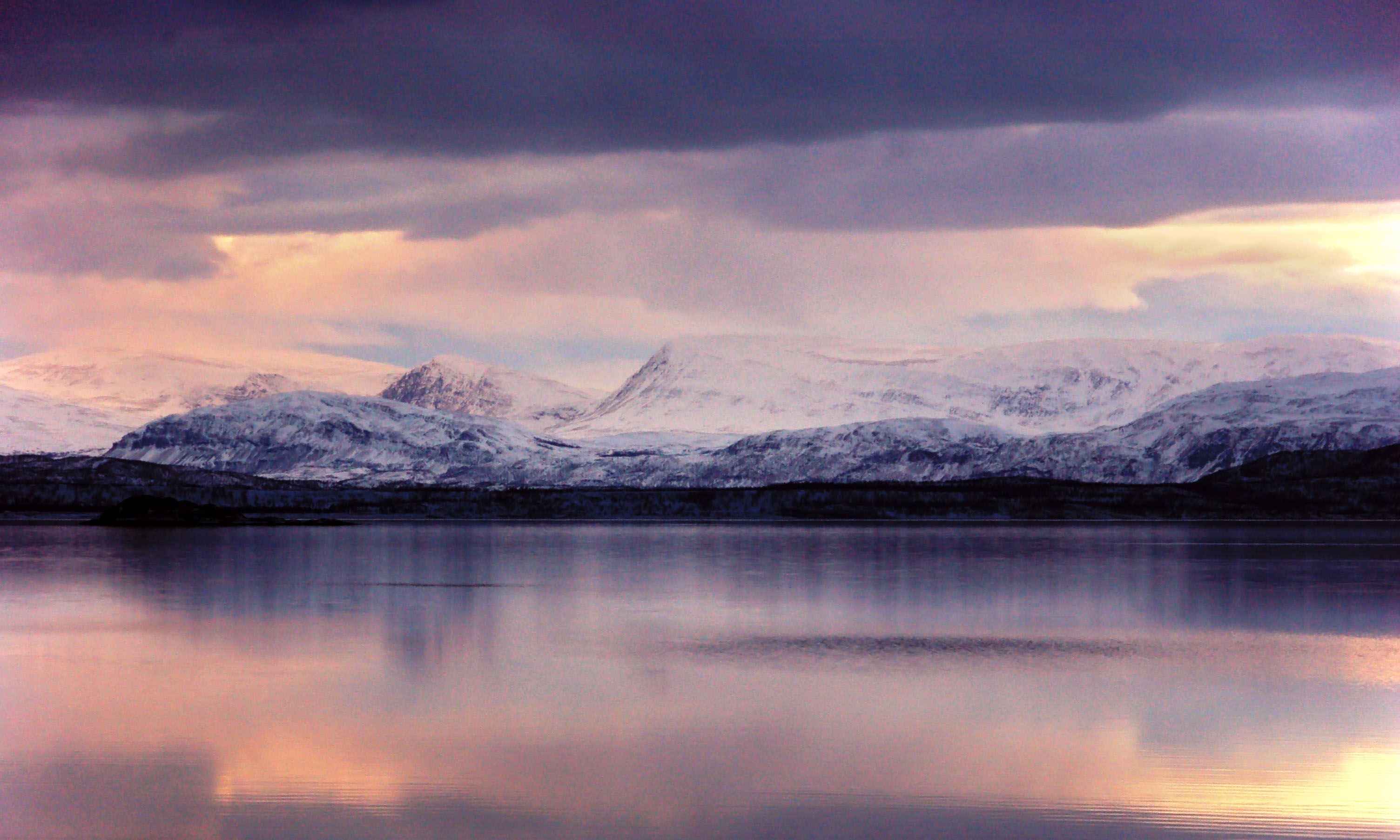
Sunset, near Lakselv. Excellent light, never mind the absence of direct rays!
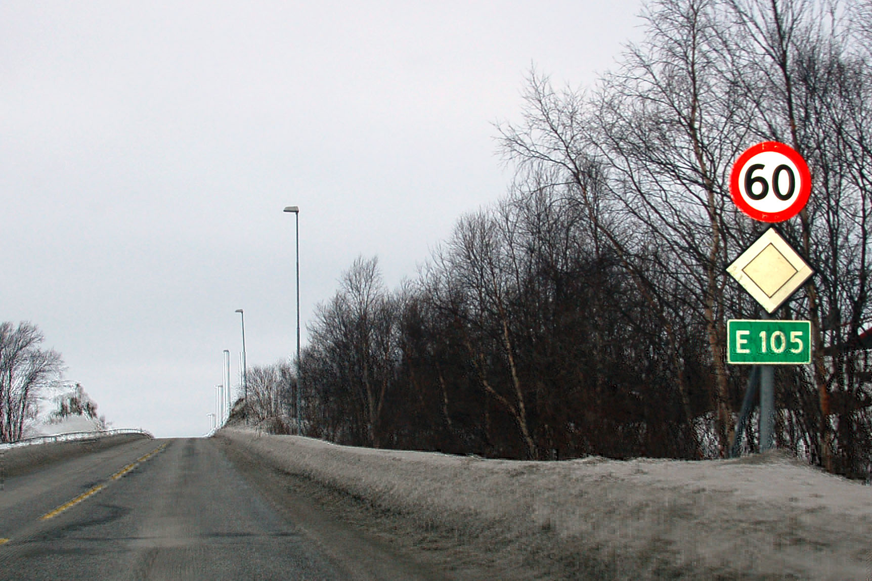
On the way to Kirkenes. Look at that, it’s cloudy.

Highway E-6 goes straight through a military base. Thanks to the terrain, there really isn’t any other place to put either.

I’m assuming I am allowed to take photos of the sign that says “no photos”!
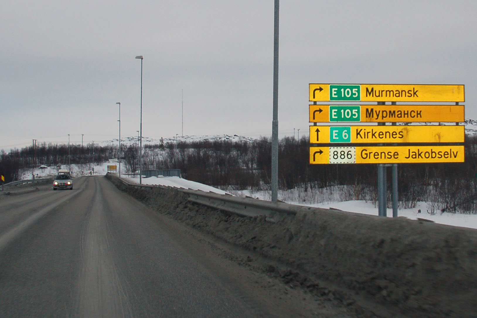
Feel the Cyrillic letters. And no, we’re not going to Murmansk.
Okay, maybe just a little. The Russian border is about fifteen kilometers down this very road. One needs all sorts of bizarre papers to get in, and even more bizarre ones to get out. They have to be applied for months in advance – I did no such thing, so therefore we will not see Russia from the inside.
Kirkenes: the last real town in Norway.
The beginning of E-6. Behind us, the highway ends at a ferry dock. The other end is in Malmö, which is at the southern tip of Sweden.
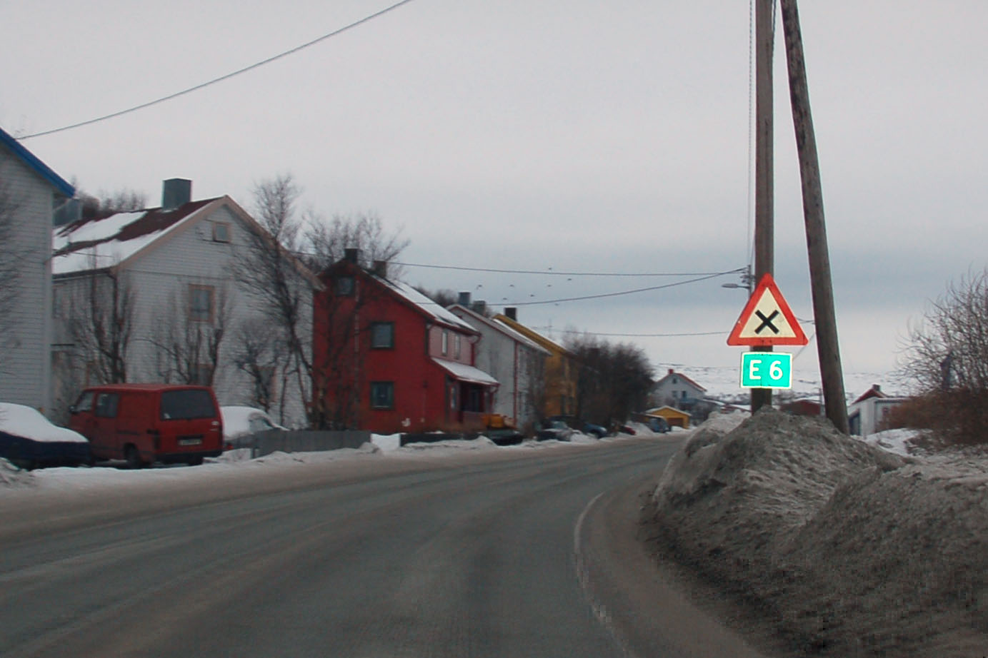
The very, very first E-6 marker. Note that here it isn’t even a priority road – it must yield to all side streets!
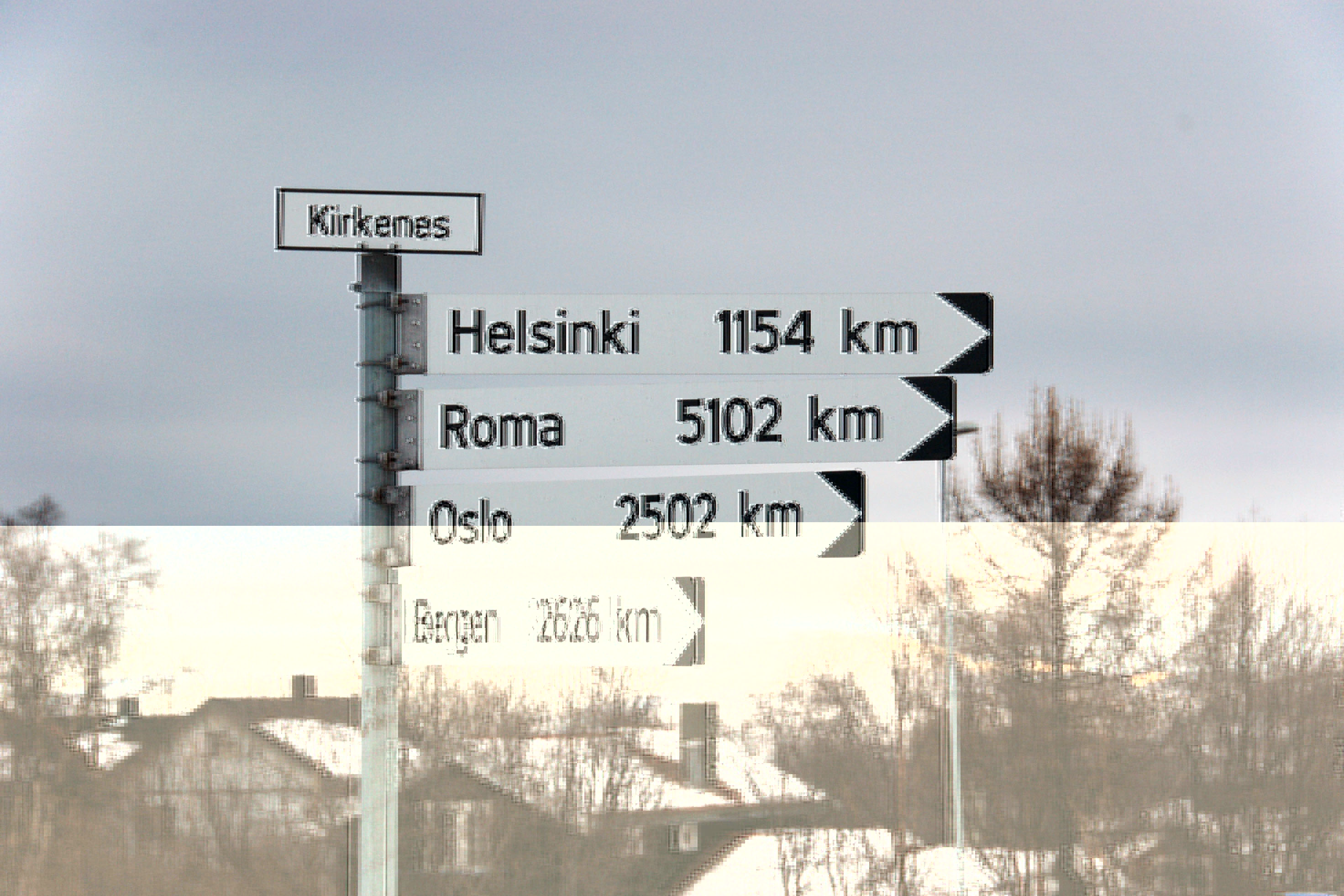
The symbolic end of E-6, a few blocks away from the ferry dock. And no, it doesn’t go through all of those cities. Oslo is the only one that it hits.

The road to Grense Jakobselv is closed in the winter. (The village is serviced by a ferry from Kirkenes.) The road goes right along the Russian border. The two countries are separated by a rather small river.

Here’s a sign that gently prohibits me from taking photos with a tripod – several hundred meters past the conveniently provided lookout area from which I took the photo of Soviet Russia. Yep, with a tripod.

Having elegantly skirted international treaties, it’s time to go back west.
Some time passes. And, look at that, the sky is clear. Must’ve been the secret Soviet weather control program foiling us.
Oh, those tricky Soviets are back at their old game.
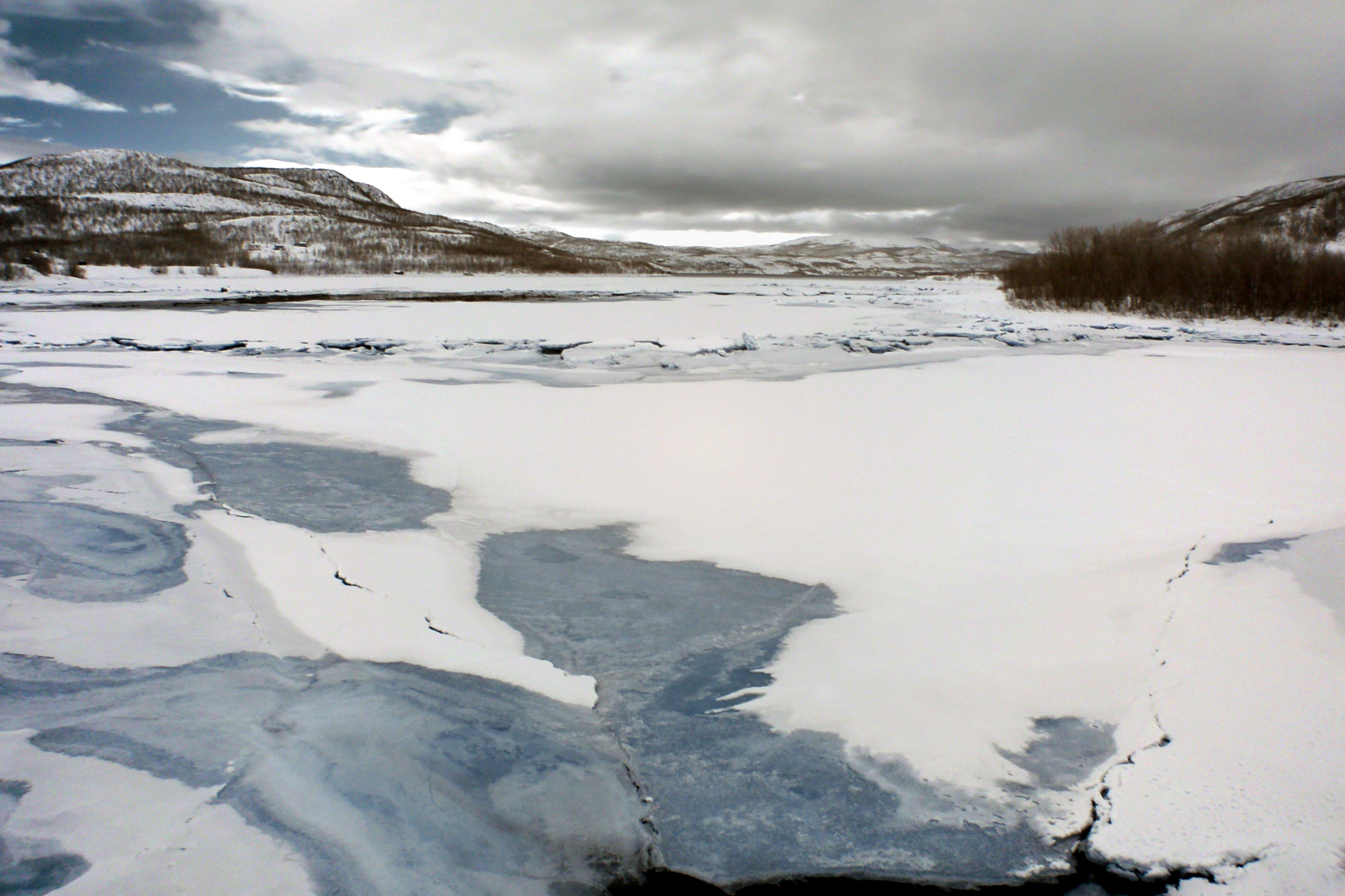
Snow and ice. Infrared nicely brings out the difference between snow (white), ice (blue), and liquid water (black).
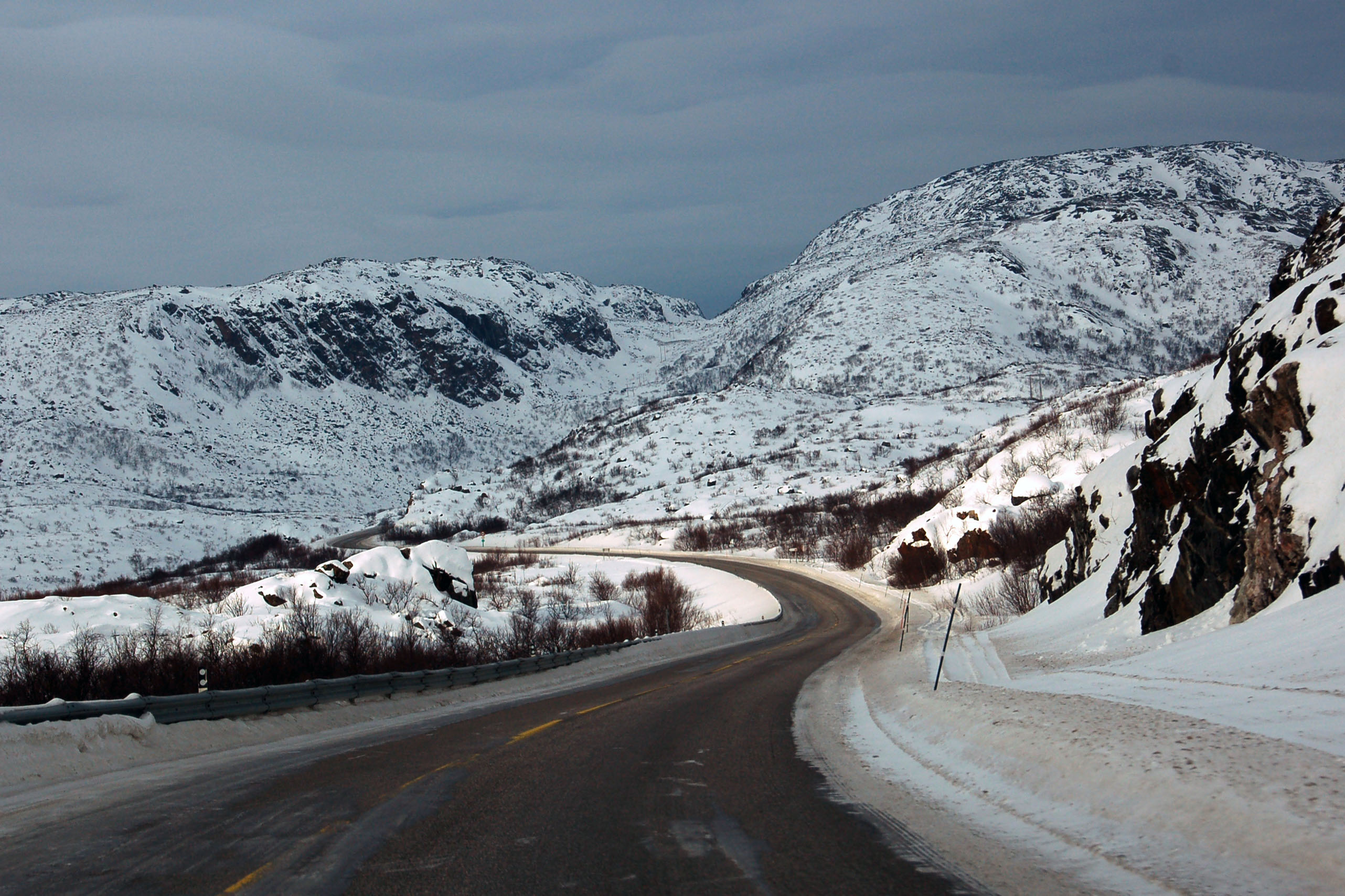
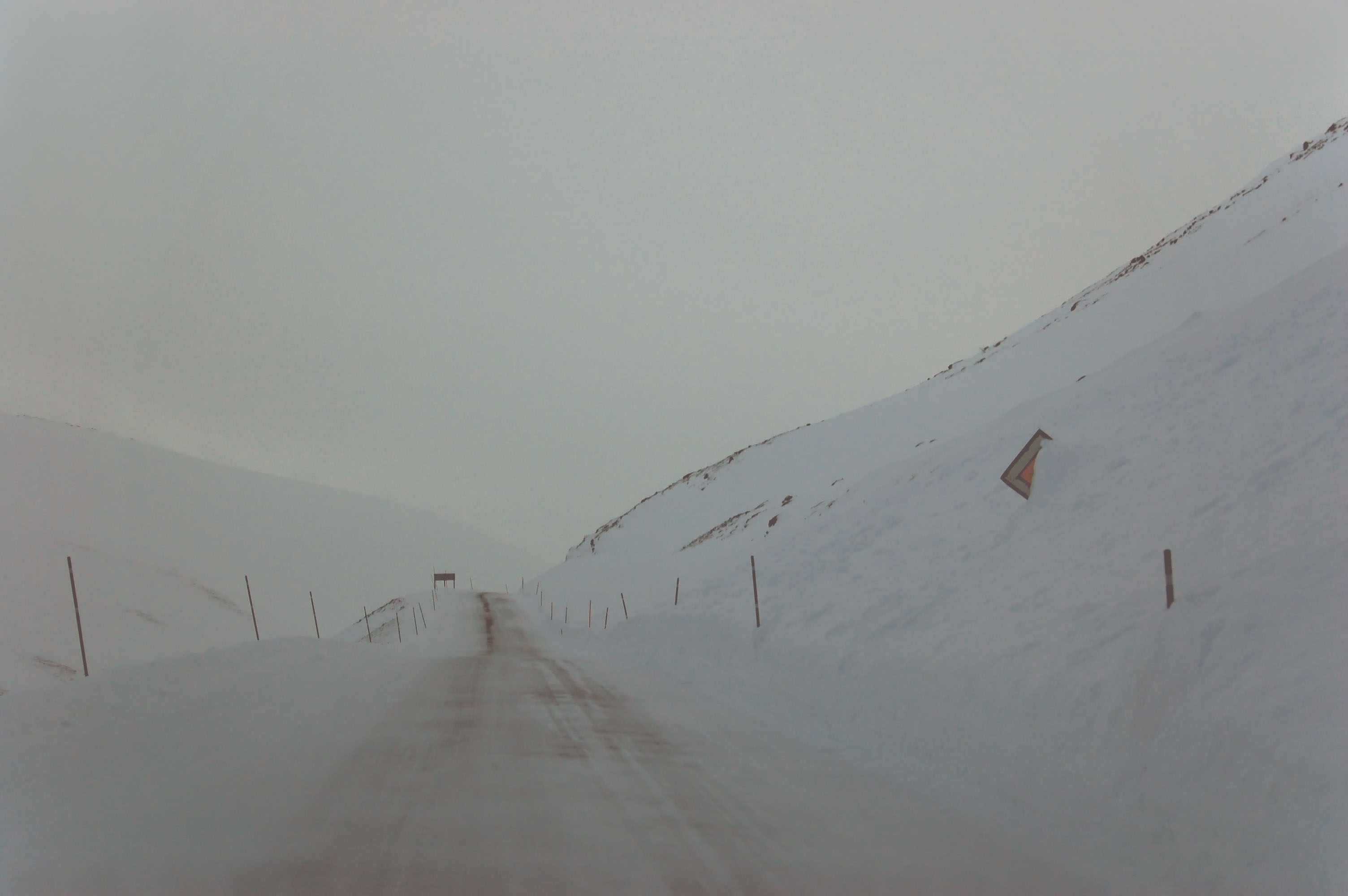
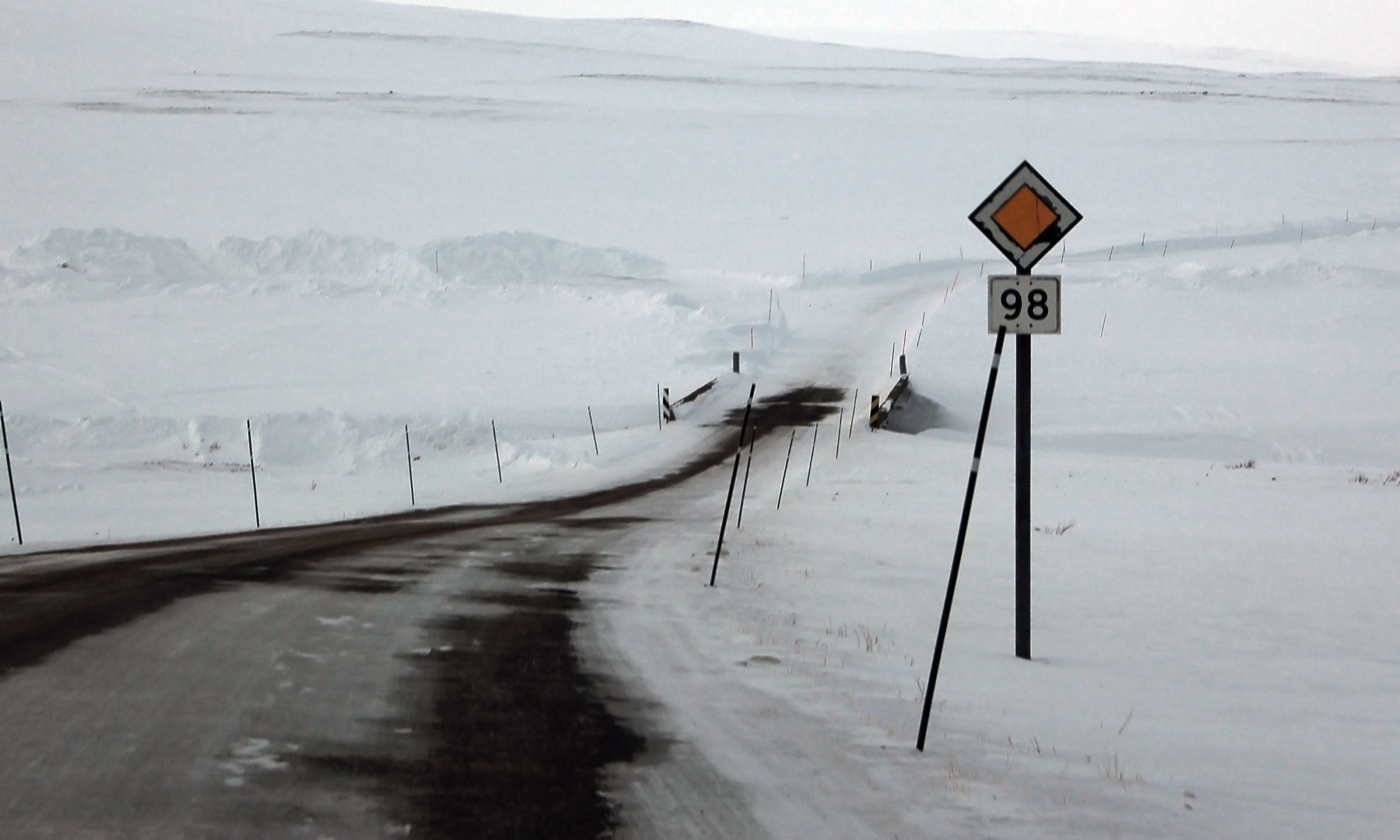
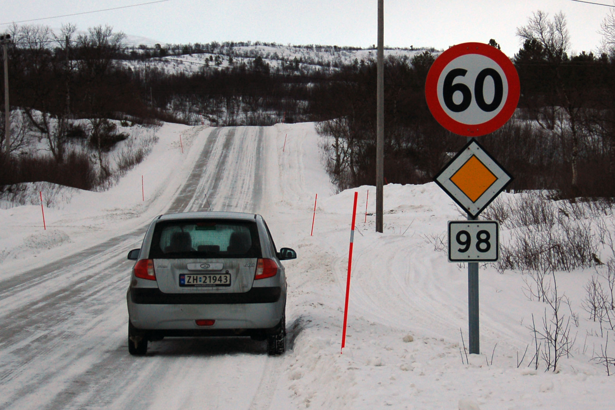
Highway 98. The road across Eaštoroaivi pass to Ifjord. It’s an, ahem, scenic alternate to E-6, and gets maintained a slight bit less vigorously.
A fishery at Smalfjord. In the foreground: uneventful water rippling. In the background: large quantities of snow, both in the air and on the ground.
The oldest sign I found in Norway! Dating to sometime before 1965, which was the year they replaced this font. It’s on highway 98.

Just down the road is another one. And that constitutes all of the old cutouts I found in Norway. Within two kilometers of each other!
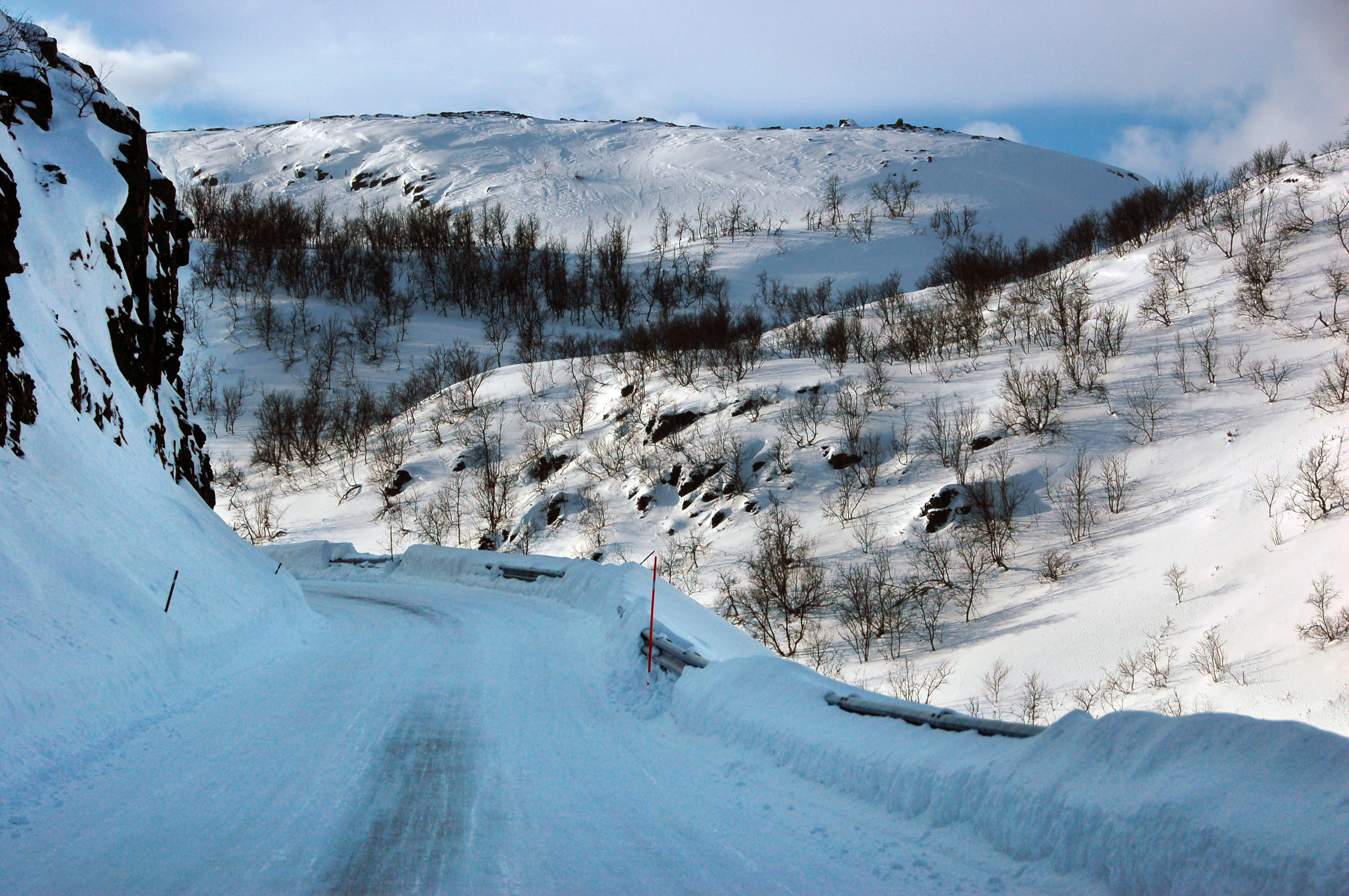
Try not to fall off the edge of the road.
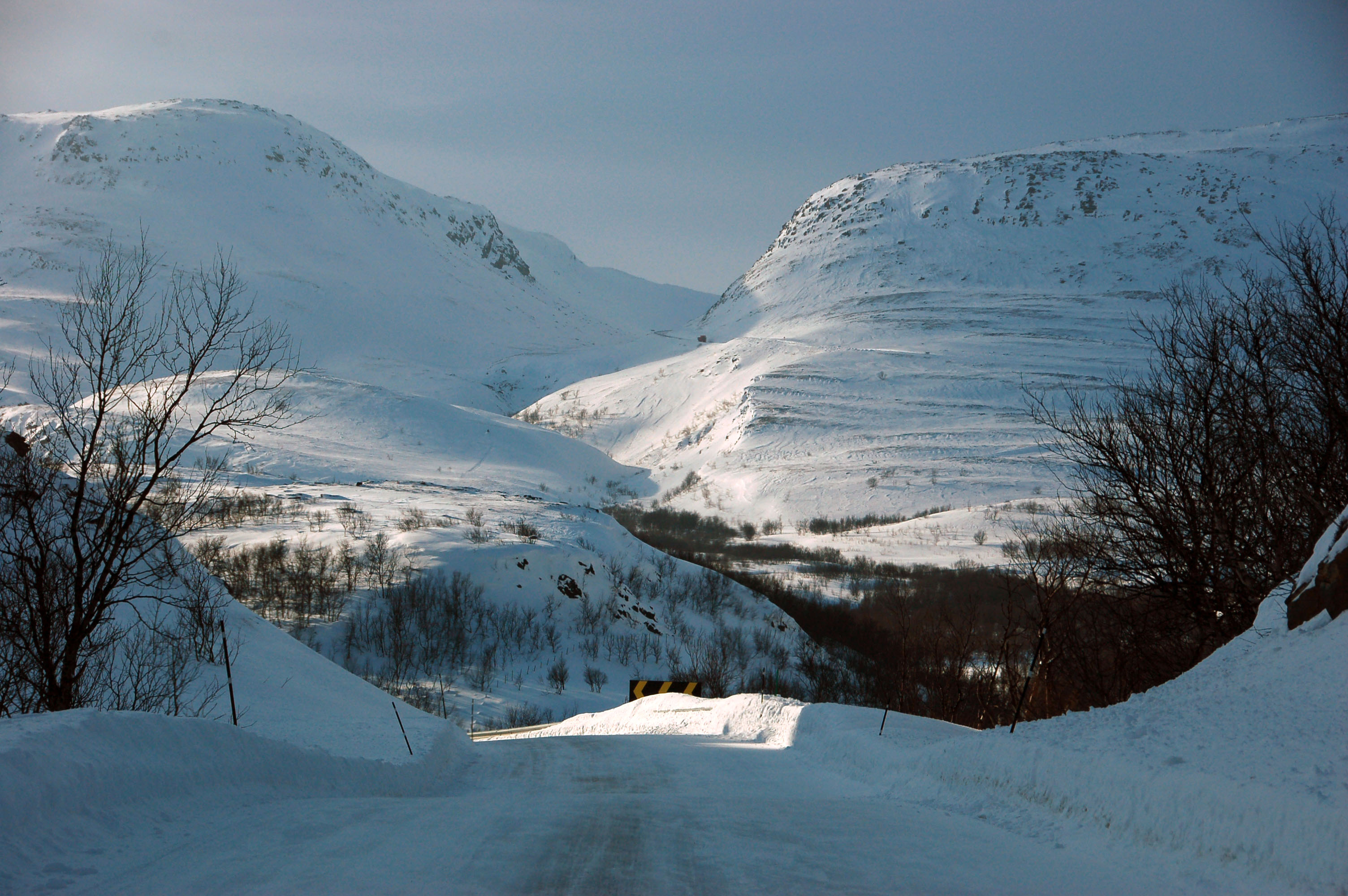
That is Eaštoroaivi pass. Note the road between the mountains.
This is where we just came from.
And this is where we’re going.
Note the highway marker buried under what seems like eight thousand feet of snow.
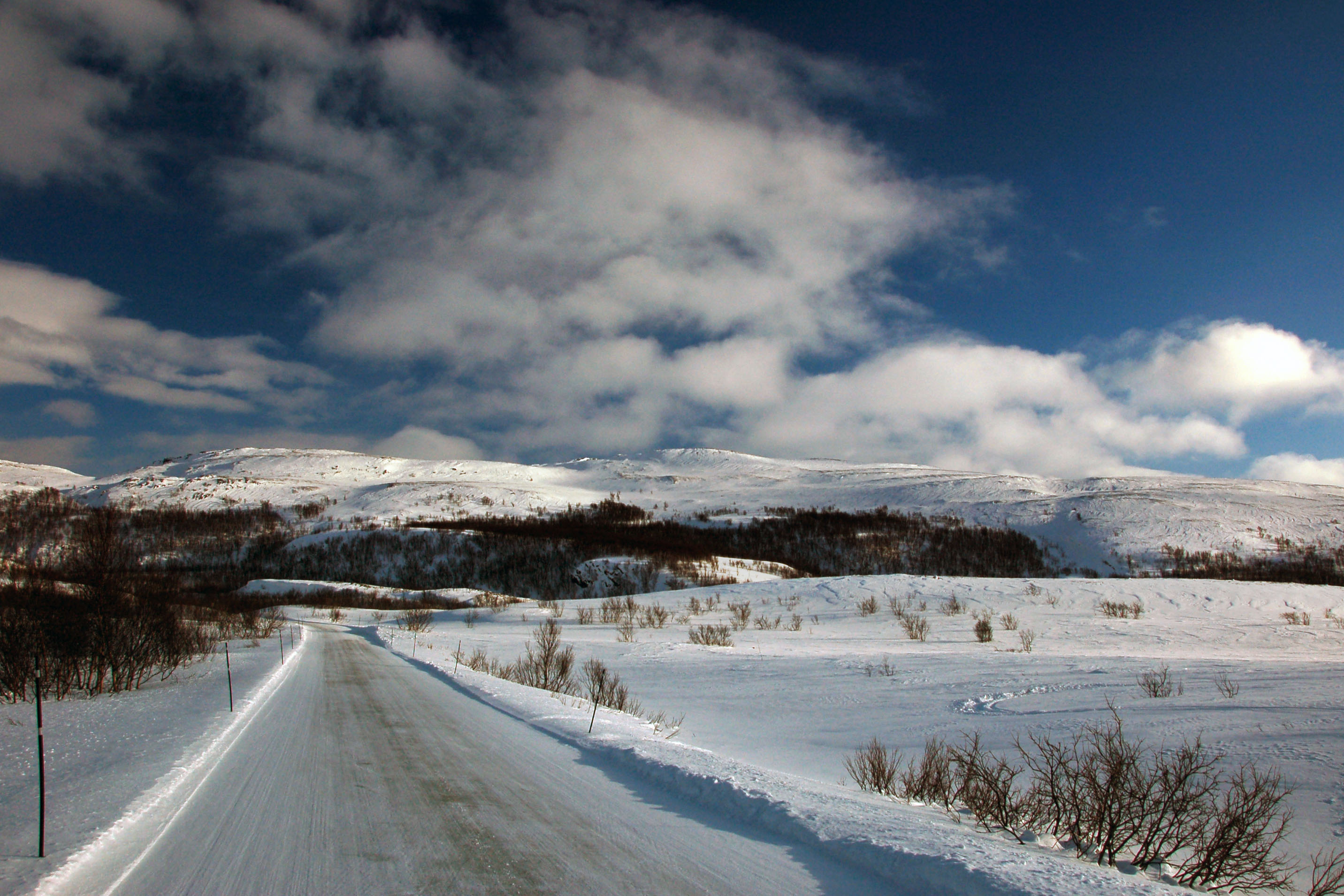
What’s this? It’s contrast!
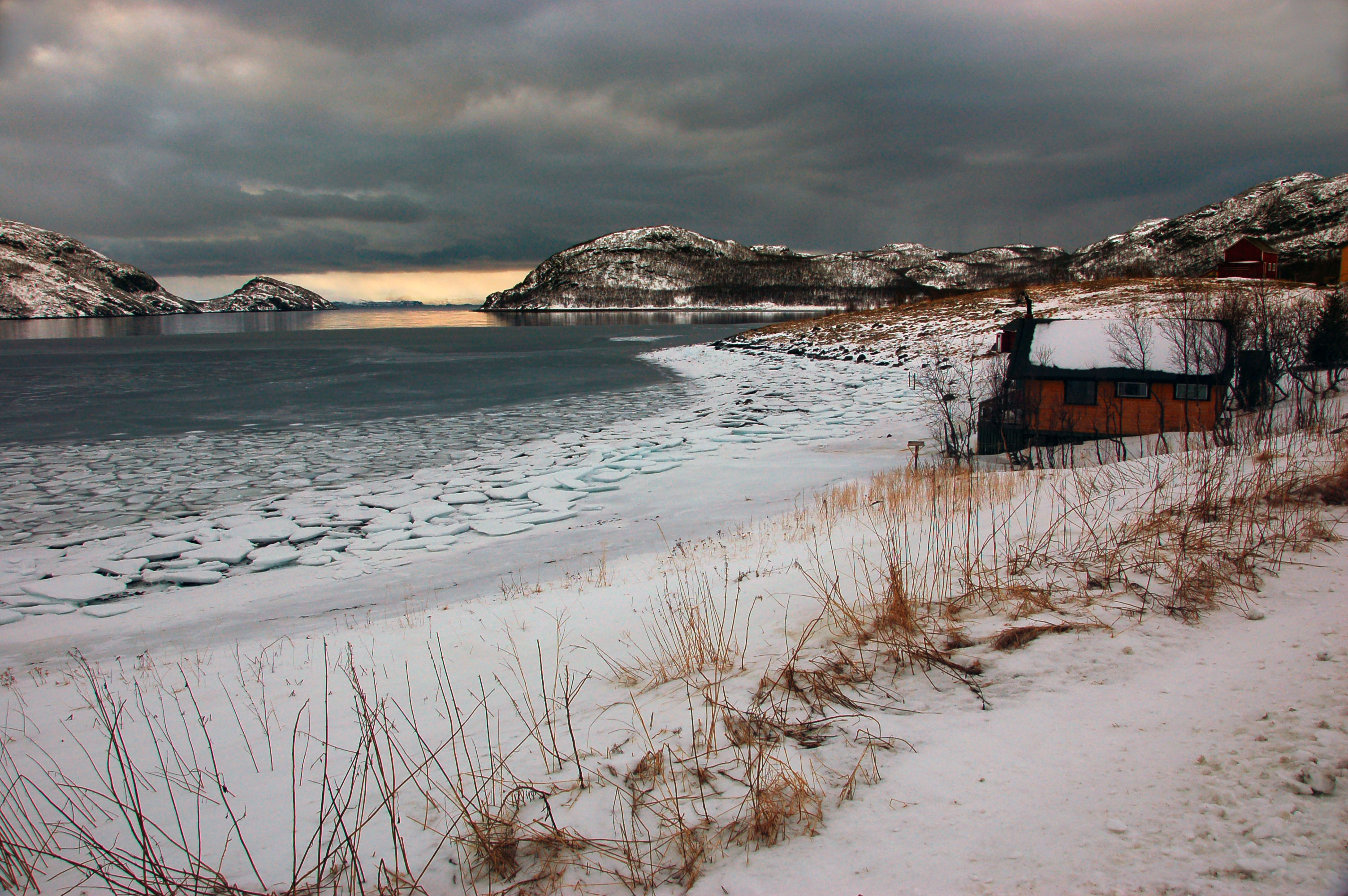
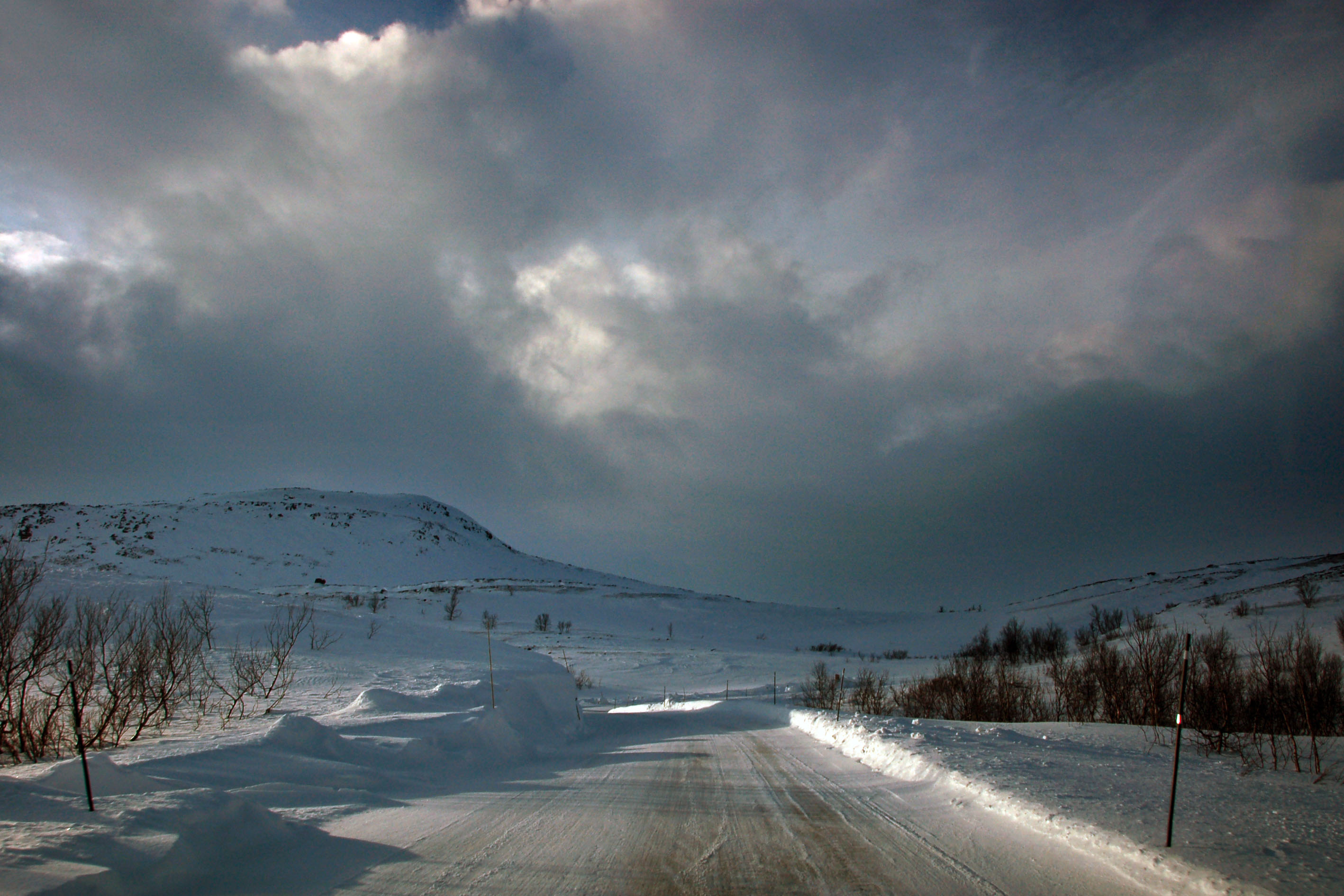
Ifjord. We’ve made it to the other side. And no, this is not an infrared photo. It’s just that grim.

Fifty-six miles per gallon.

And this is how to achieve it. We’re actually doing a solid sixty or so kilometers per hour. Engine off, going down the hill, thirteen point four kilometers for free.
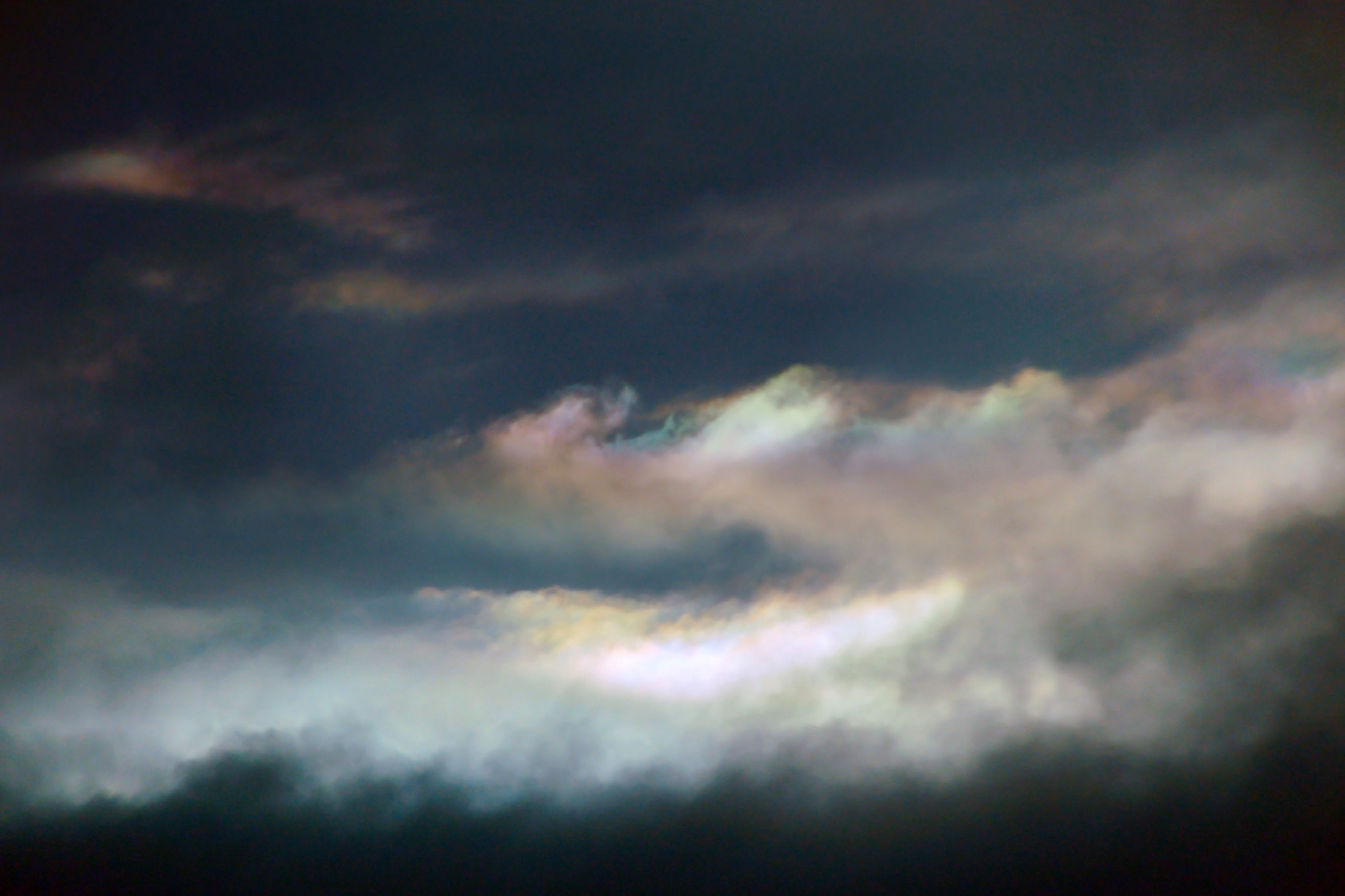
Iridescent clouds.

Reindeer. As with sheep in Australia – there’s far more reindeer than people in northern Norway.
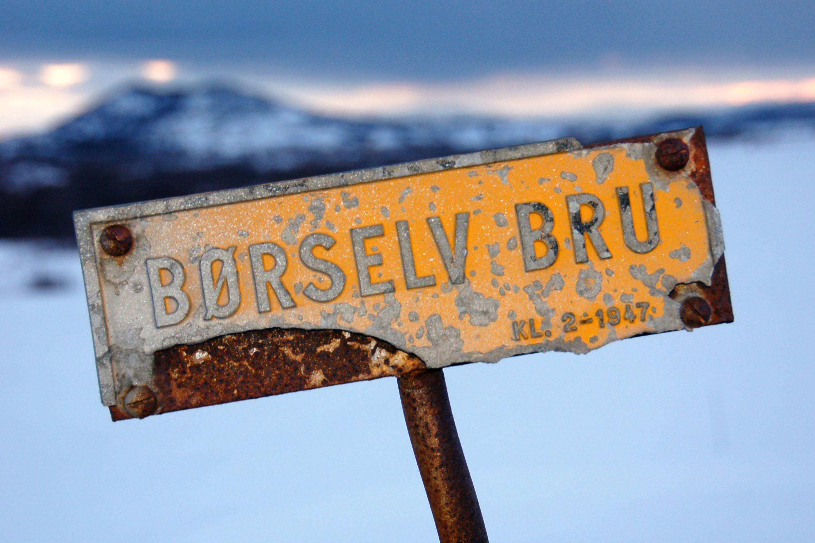
The marker for the Børselv Bridge. Built in 1947.

And the bridge itself. The first person to get around all those dang power lines will be the first to get a good photo of it.
Yeap, it’s perfectly okay to park in a travel lane. Nobody’s there to notice!
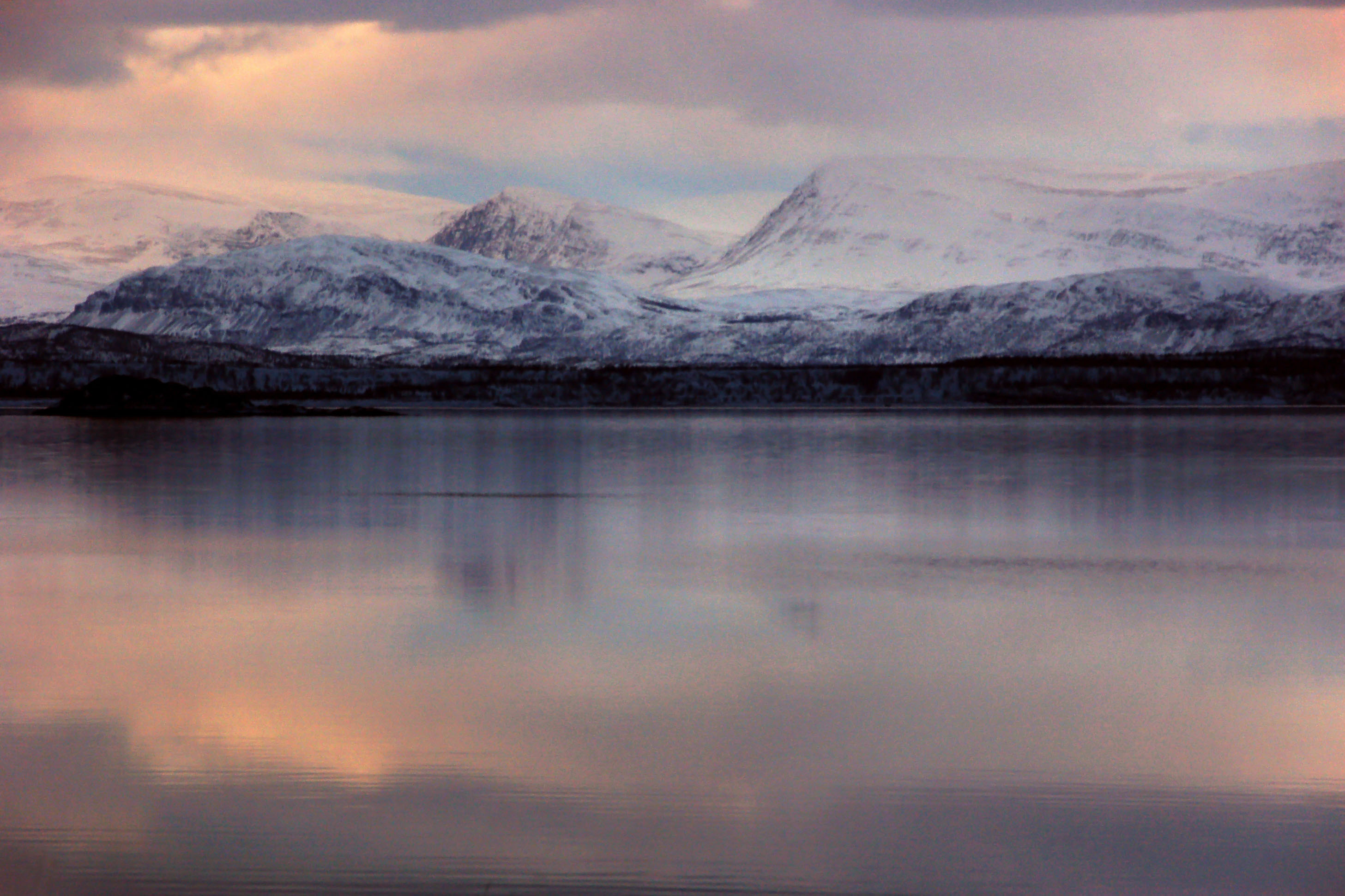
More from sunset.
And, one last one!

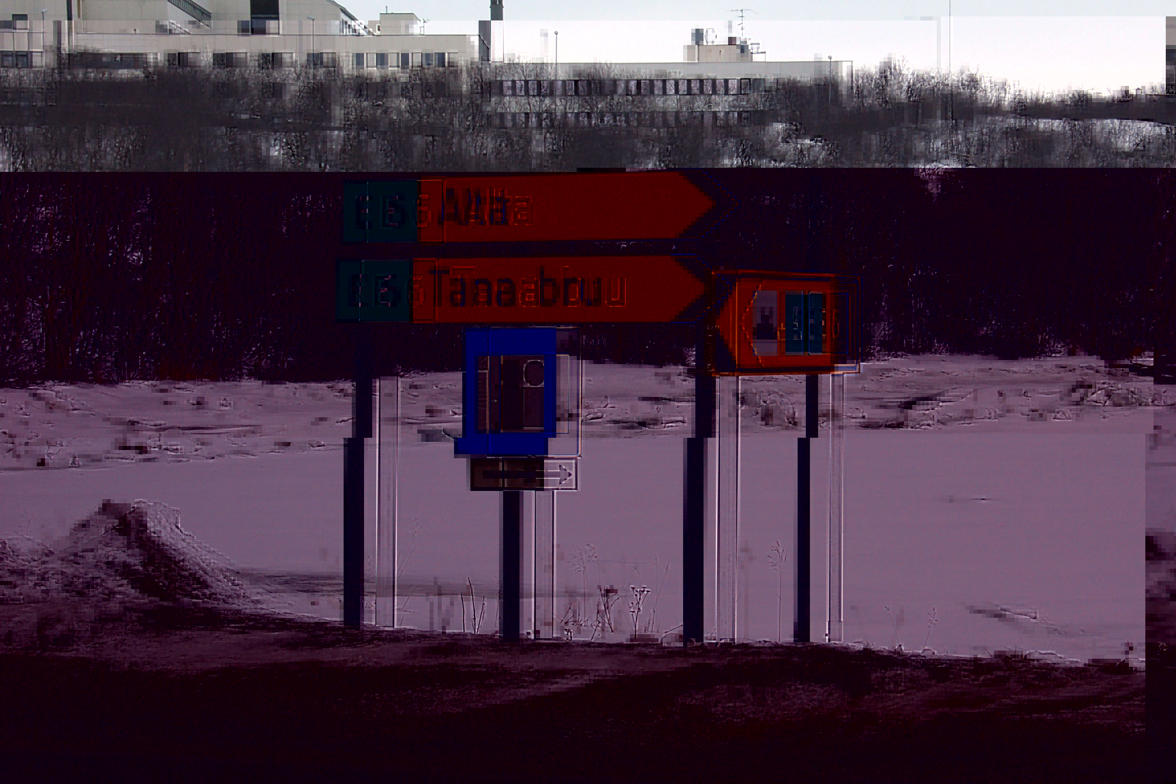
Hey, look what’s within striking range! Note how the distance to Nordkapp is longer than the distance to Alta. Usually they are listed from most distant to least distant. Note also that Nordkapp’s distance is patched over from another number.
Why did they seemingly make the road to Nordkapp longer?? They put in a road to bypass a ferry connection. Longer, but significantly faster and less troublesome.
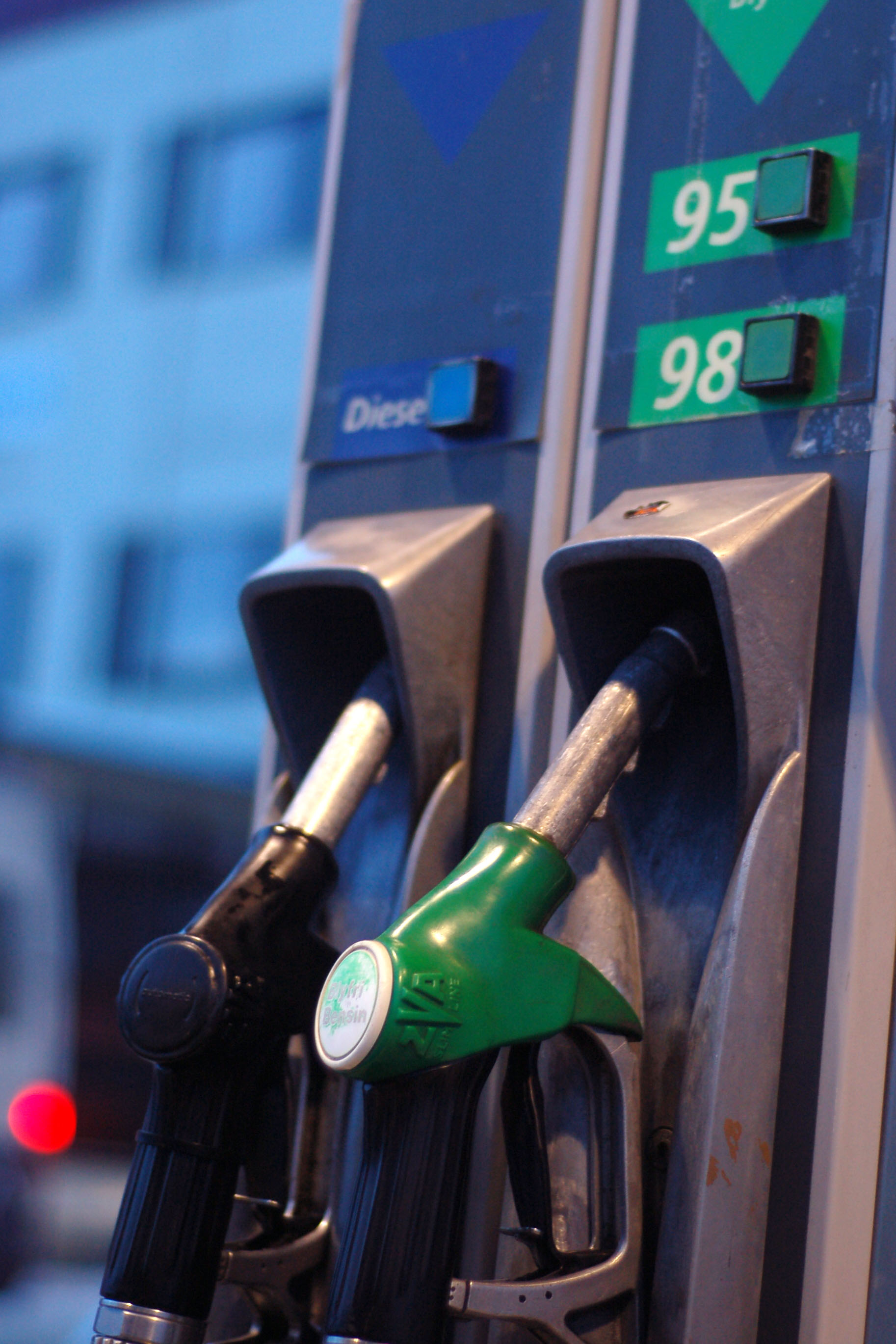
North American drivers do a double-take: diesel is color-coded blue and black, while unleaded gasoline is green. Backwards!

Rekkverk mangler. Now 35% more mangler.

Let’s try to make a dash to Nordkapp, shall we?
I don’t know if Frank Zappa had anything to say on the topic of pink snow.

Let us go through one or more tunnels without any sort of feeling of impending doom. After all, when we turn around to avoid a snowstorm, this tunnel will open its doors just as reliably as it has already done, right?

Oh dear. The porten isn’t åpnering in an automatisk manner. Gonna be here a while…

What’s this! The door’s open! Wake up, gotta go!

Nothing to see here, just a parked bicycle.
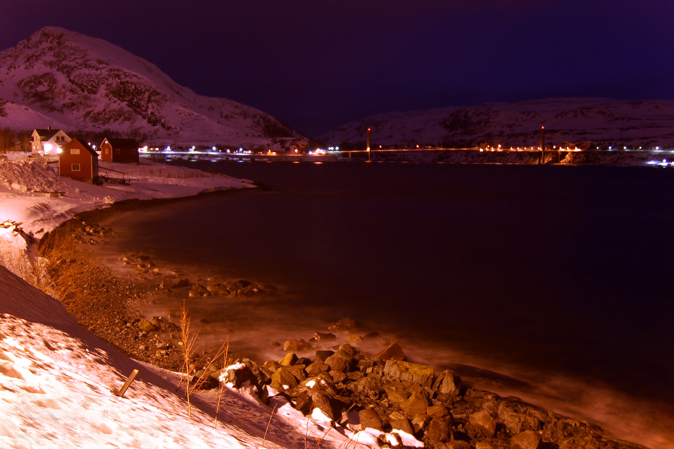
The bridge to Hammerfest. Not to be confused with the bridge back from Hammerfest that I posted the photo a few days ago. (It’s at the end of this post, too.)

Hammerfest’s symbol is the polar bear.
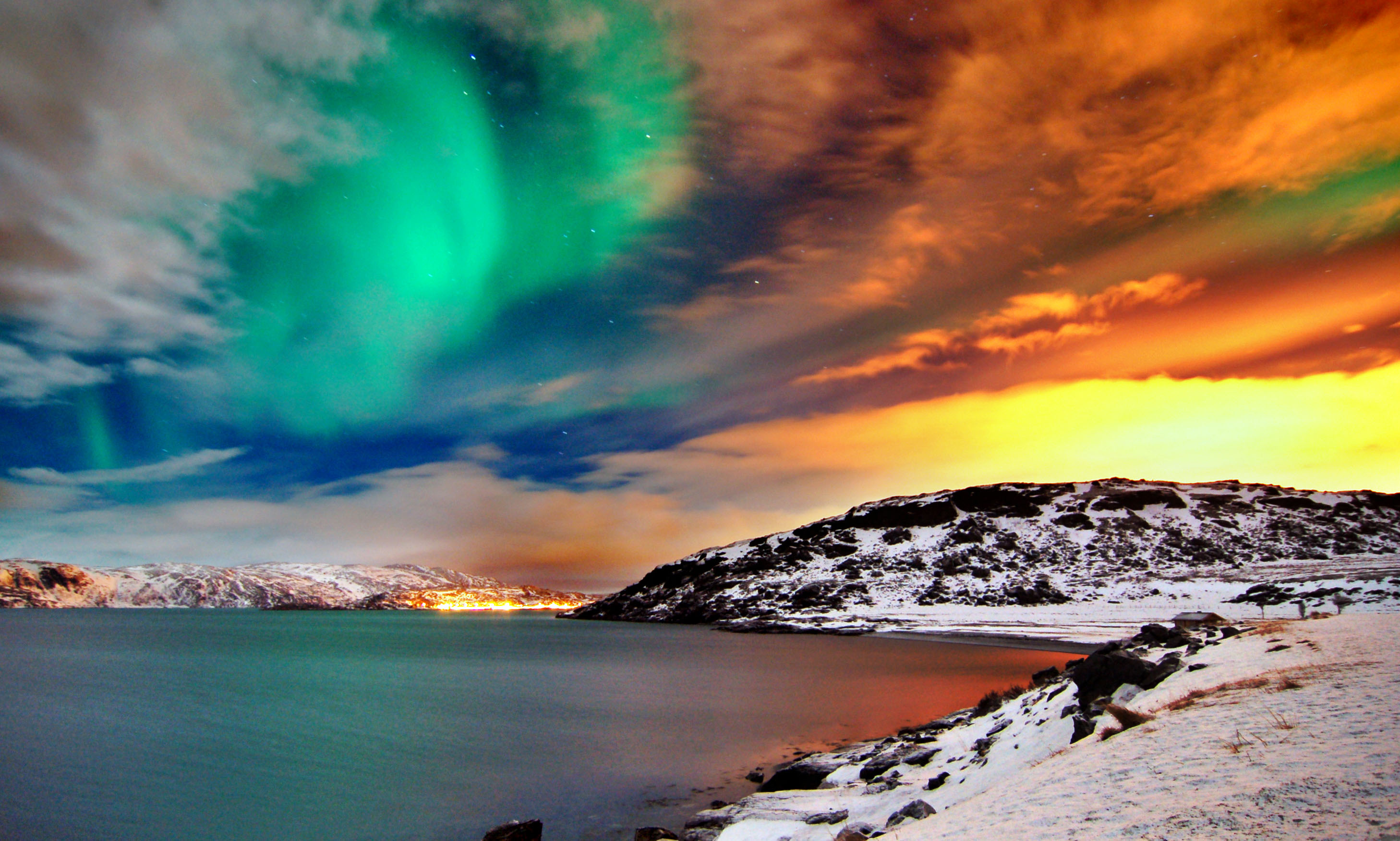
We’ve seen this one before. The northern lights randomly appearing over the road to Hammerfest.

The town boundary. We’re in the northernmost town in the world.
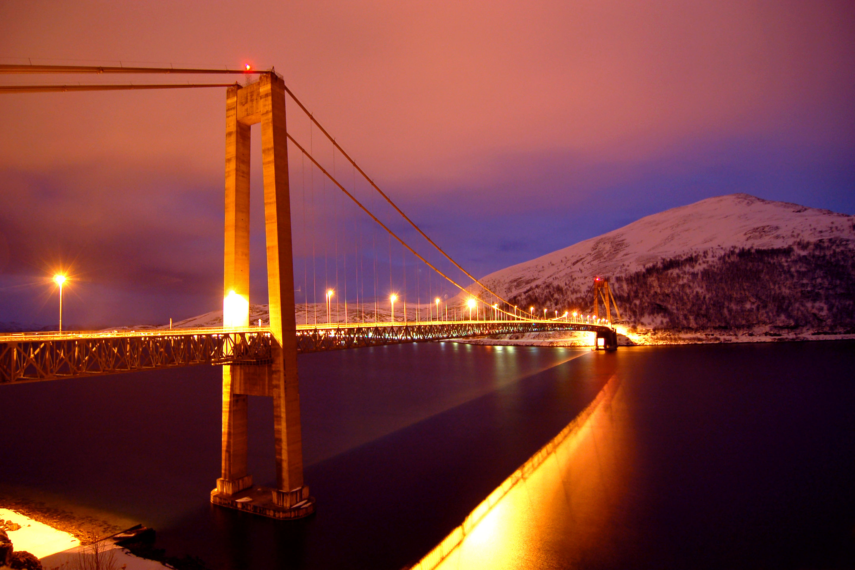
And the bridge back from Hammerfest, which is clearly a different bridge than the one that goes there.
And that’s it for day four!
Day 4 last photo of Hammerfest Bridge is … spectacular? wonderful? awe-some and awe-inspiring? I love this photo. cwp
You make it out to be a huge hassel to get a visa for the road border between Norway and Russia. Not so – I’ve done it, and driven to Murmansk.
thank you for your input, John!
could you please elaborate on what you had to do to get this visa? could you do it all on the spot, or did you have to inquire in advance?