
The last of the trip from December ’07. Utah, Nevada, and California.

Nope, this is not the Great Salt Lake – this is the Bonneville Salt Flats in winter, when there is a thin layer of collected rain and melted snow… and people drive in it.

Tiny houses, colossal mountains. Somewhere in Nevada at sunset.

Well past dusk, near Battle Mountain, Nevada.

Donner Lake, the next morning.

Clouds over the east bay. The view from I-680; and yes, that part of California is greenest in … January.

Heading out on old US-40 into the mountains just west of Salt Lake City. Just after dawn.

this alignment of 40 turns into a road that services an industrial concern, and thus gets rather lousy rather fast.

We probably shouldn’t be going this fast… but we are.

Uh oh, road dead-ended. Time to get out of here. This speed is not all that impressive – except for the fact that we are going

Unusual warning signs of the world.
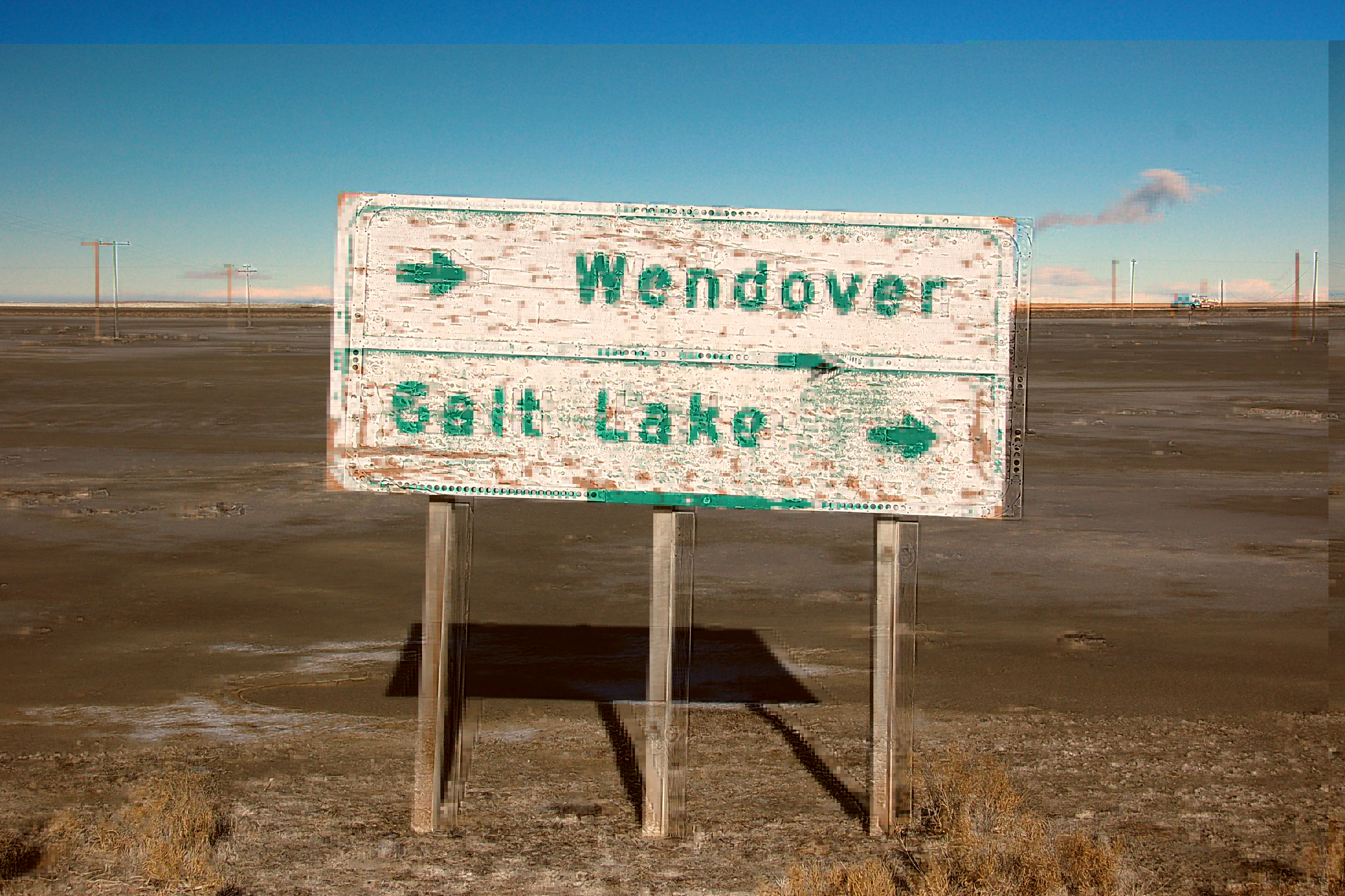
Salty old sign on US-40, pointing (as amended), both directions to the east … because, while Wendover is indeed to the west, the on-ramp to I-80, the freeway that replaced US-40, is to the east, just like Salt Lake. The sign goes back to the early 60s, and every year it lists just a little bit more. It was once green and white – now it is white and green. The green background got covered in salt condensation from the Bonneville Salt Flats, while the white letters with reflectors just plain fell off.

Mountains reflecting in the salt wash.
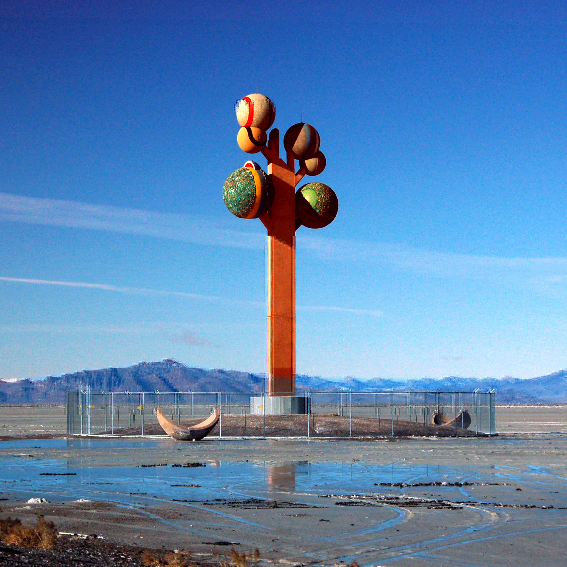
Whatever it is … that’s what it is. Somewhere next to I-80 in western Utah.

More trails in the salt. More fun.

Where cars go to go fast.

And this is how far my rental car went. I can’t remember what it was – some kind of Chevy. Malibu maybe?

We’re in Nevada now. Mountains near Wells.

A distant airplane, over an old, unplowed US-40 alignment.

A river – again near old US-40.

Mountains starting to glow in the last rays of sunset.

Peaks and valleys.

Orange clouds far overhead.
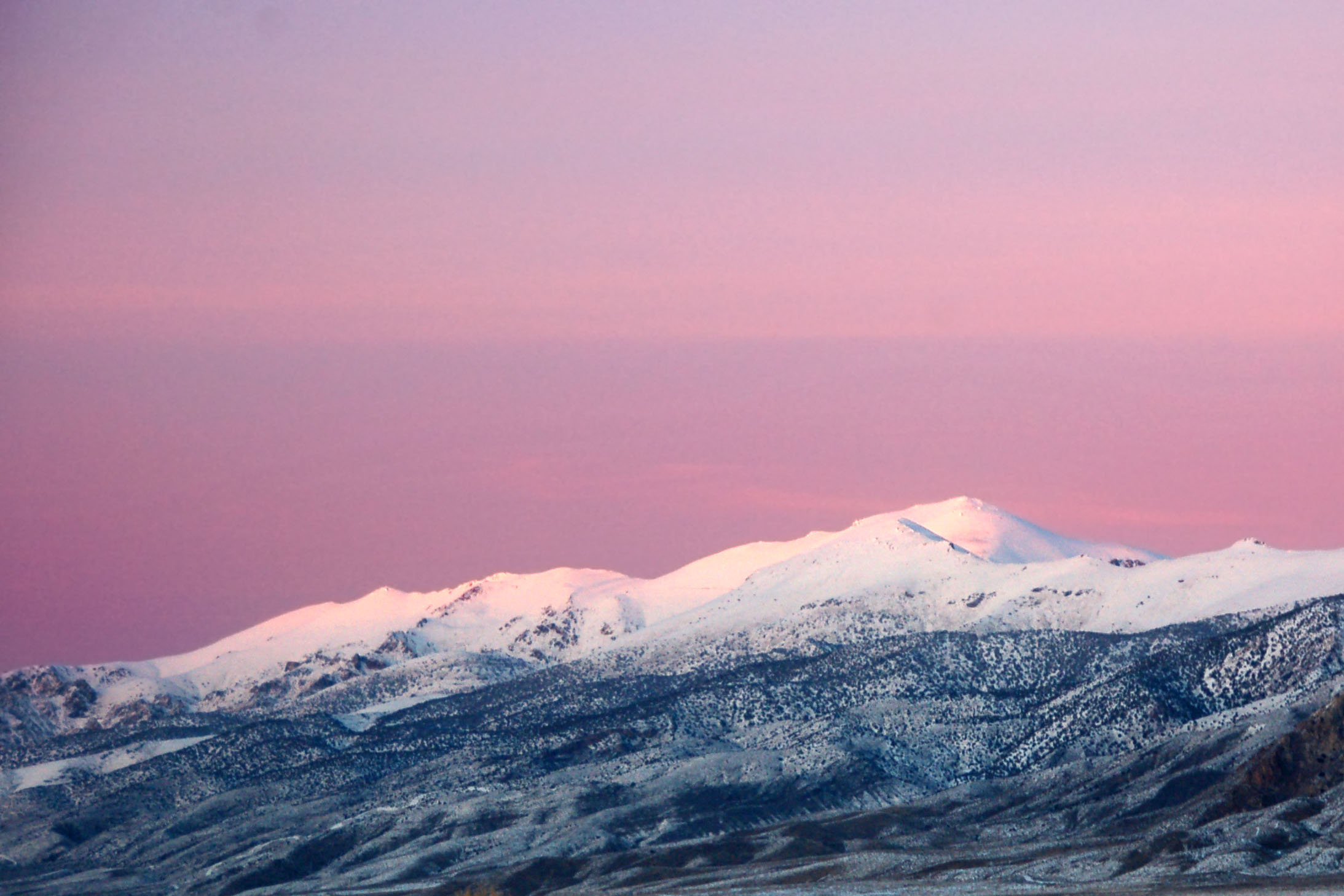
Pretty in pink.

Sun’s gone, but the clouds remain a bit longer.

Heading west on highway 80.

Oddball of a highway sign in Reno, Nevada.

Some ’57 spec I-80 shields float around Reno. Here is one. In fact, I’ll tell you exactly where it is!
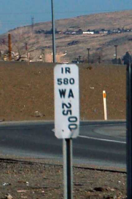
US-395 around Reno is interstate 580. Why they sign it only on the paddles, I will never know.

The only embossed sign ever put out by California’s Division of Highways. This example sits on the wall of the snowplow depot in Floriston, serving I-80 and Donner Pass.

Old US-40 approaching Donner Pass.

Climbing up Donner Pass.

The view from Donner Pass. Donner Lake down below.

Clouds, as seen from I-80 coming down from the mountains.

A perfectly located sundog.
And that’s all for now!
Next set – coming up next time… as I plan my Chile and Argentina trip for sometime in 2011!


I would say you were driving a pontiac g5 most likely. possibly a g6 though.
The “whatever it is” is the “Metaphor: The Tree of Utah”. See http://www.utah.com/amusement/metaphor_tree.htm for its background and https://www.aaroads.com/west/utah080/i-080_wb_exit_004_06.jpg to see that the chain link fence was not in place back in 2005!
that’s lame that they fenced it in!
Beautiful photos