
the eighth day of my trip across the Rockies. Here, having survived Million Dollar Highway, we head west across Utah on I-70, to get to I-15 and scour Salt Lake City for old signs.
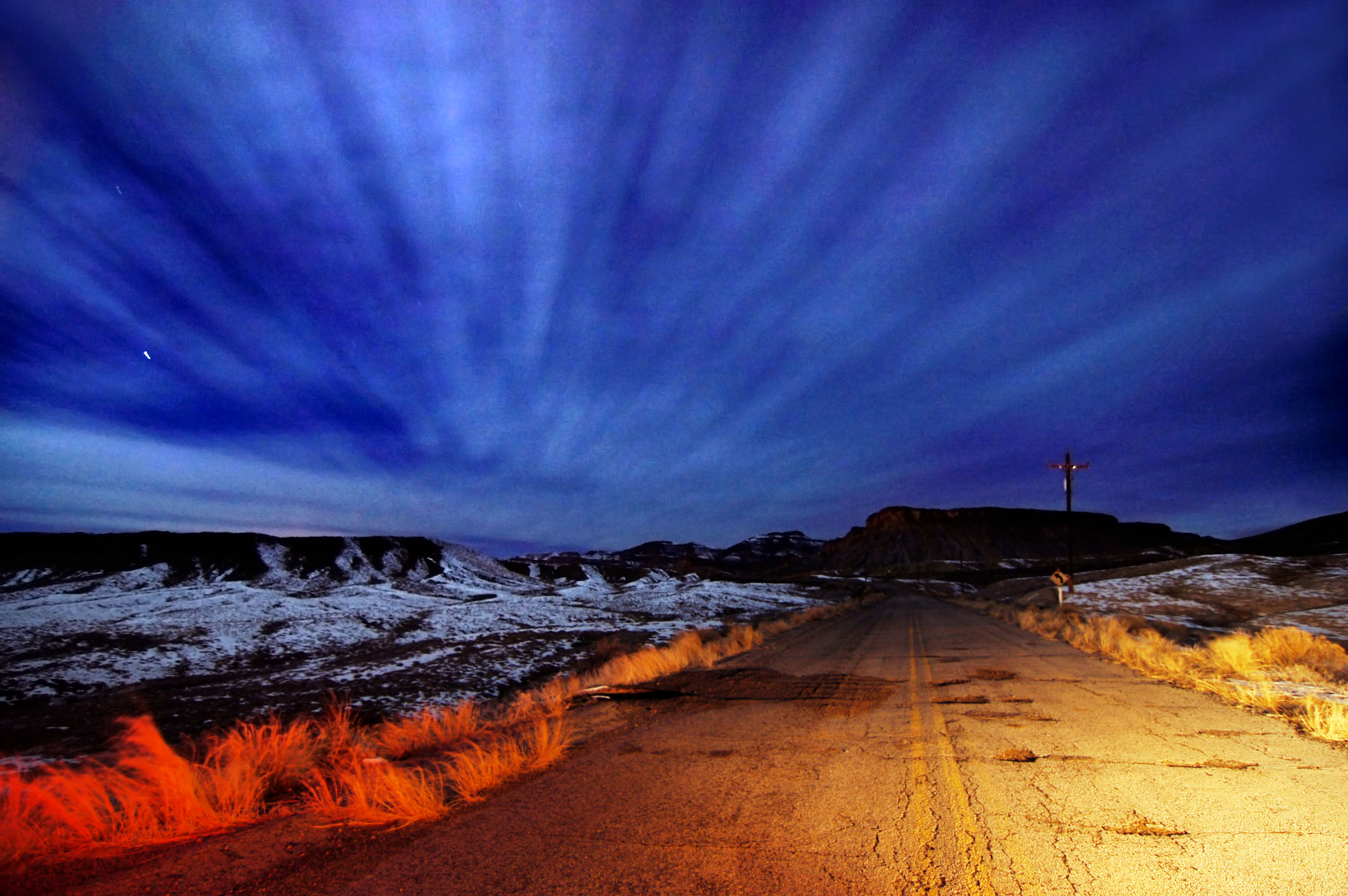
The very, very first rays of sunrise. An old, abandoned alignment of US-6 and US-50 near Thompson, Utah. A two-minute exposure at earliest dawn, with Venus tracking steadily across the skies on the left.
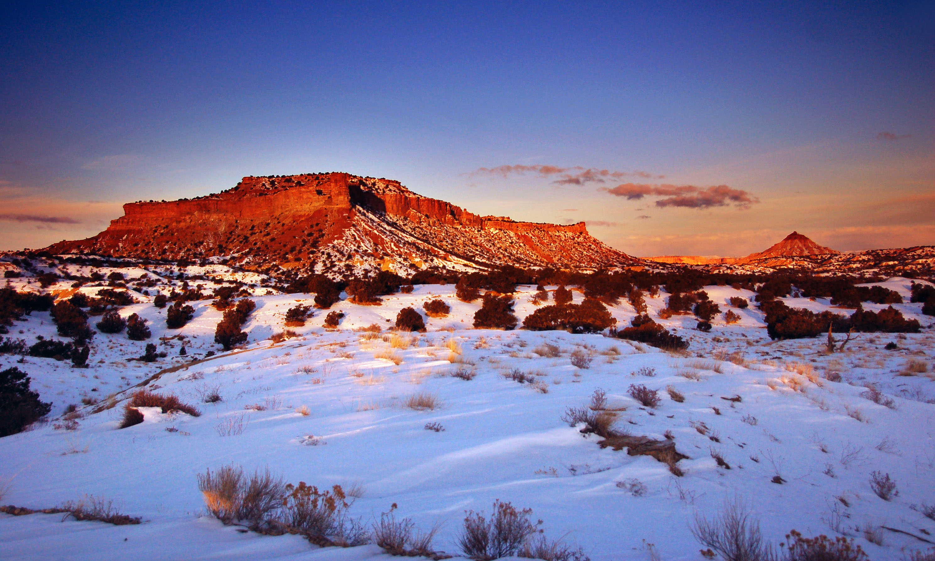
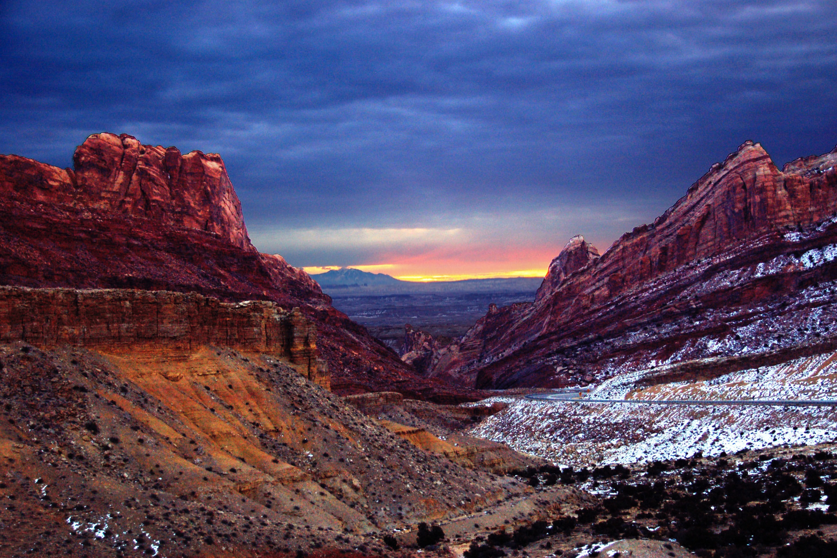
Sunrise over the red rocks.
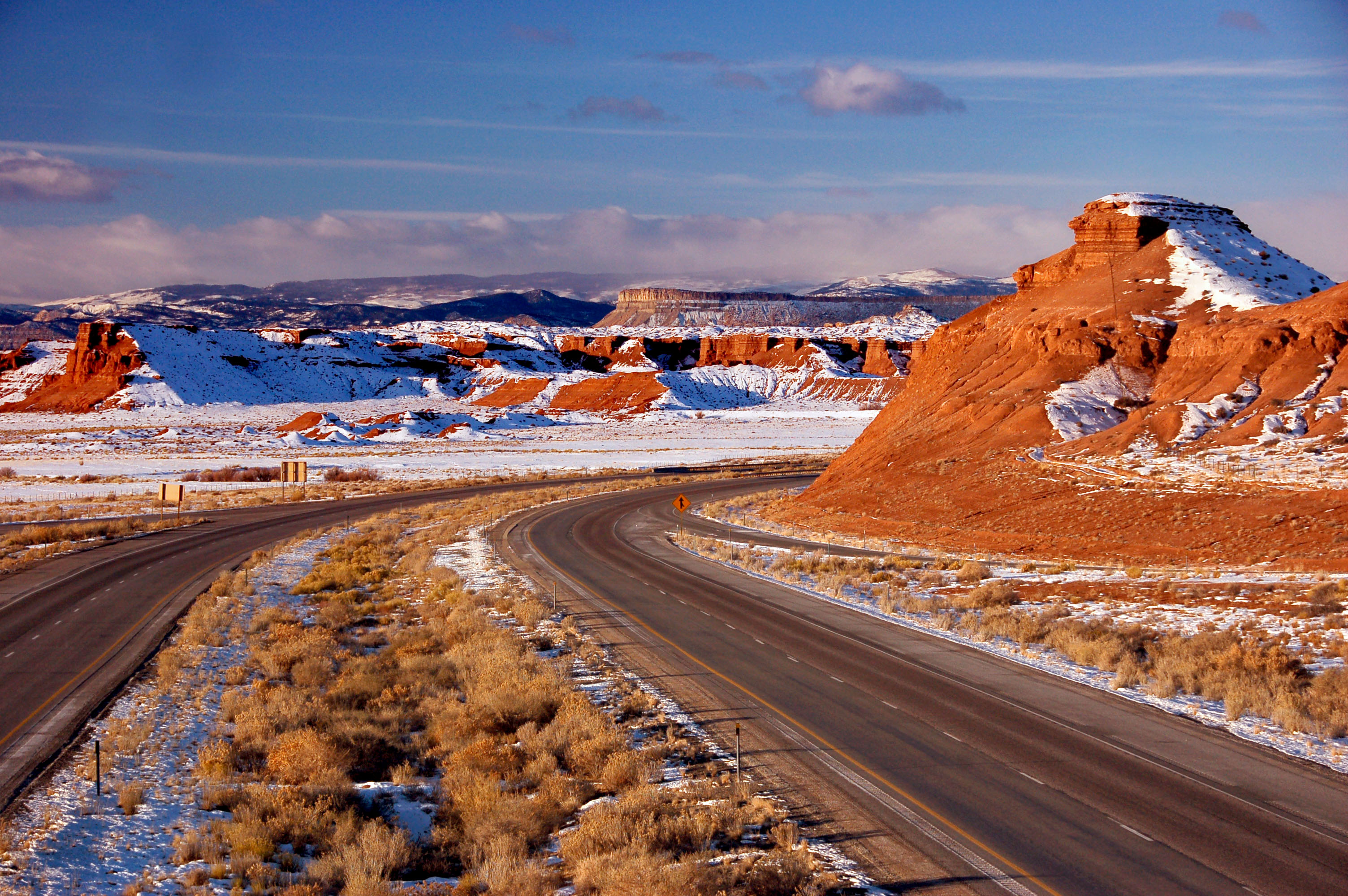
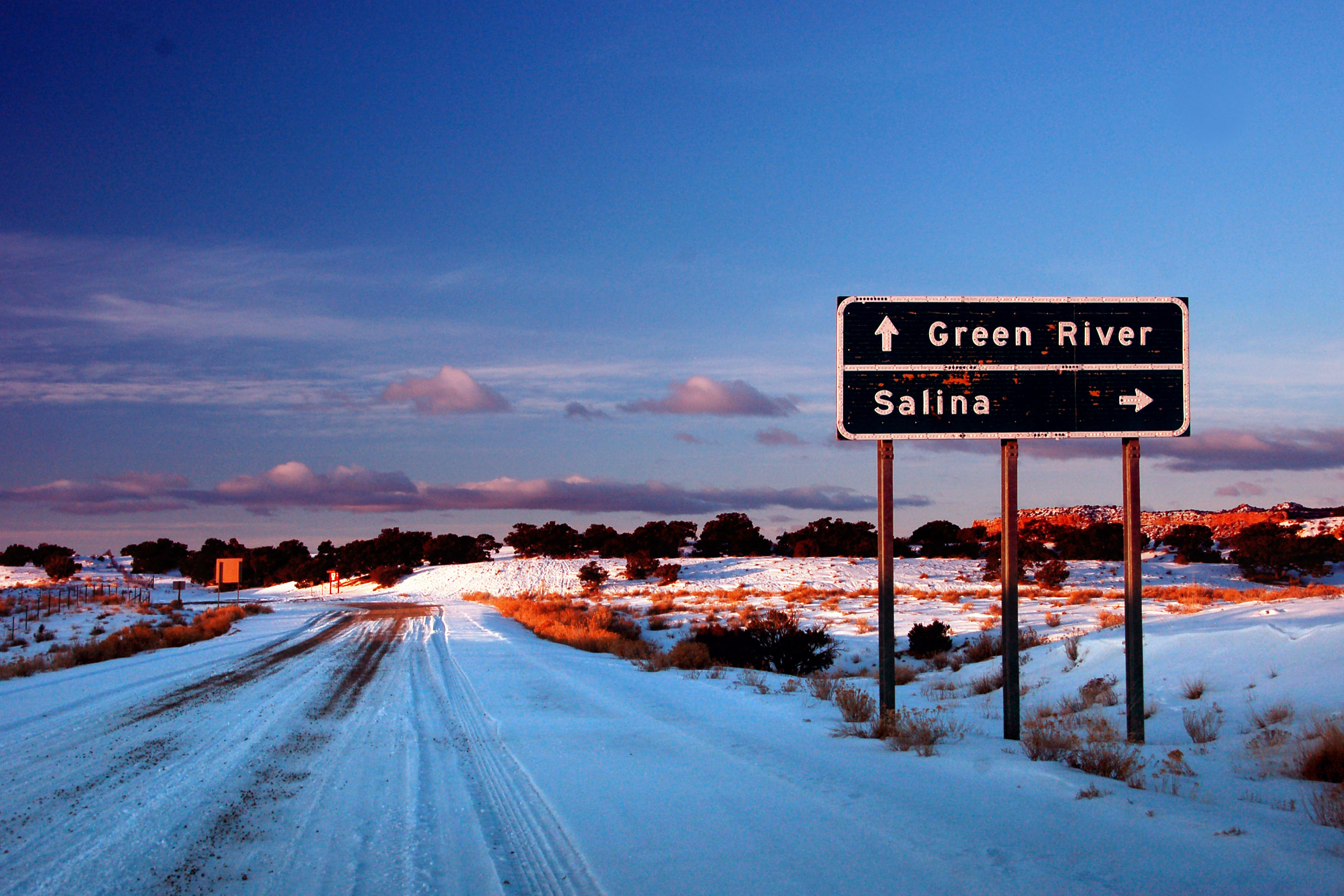
I-70 in Utah across the San Rafael Swell. One of the last major sections of road to be built – this segment of highway was untraversable by car until 1986. There still remains a section between Green River and Salina that is 110 miles long without services: the longest stretch on the entire interstate highway system.
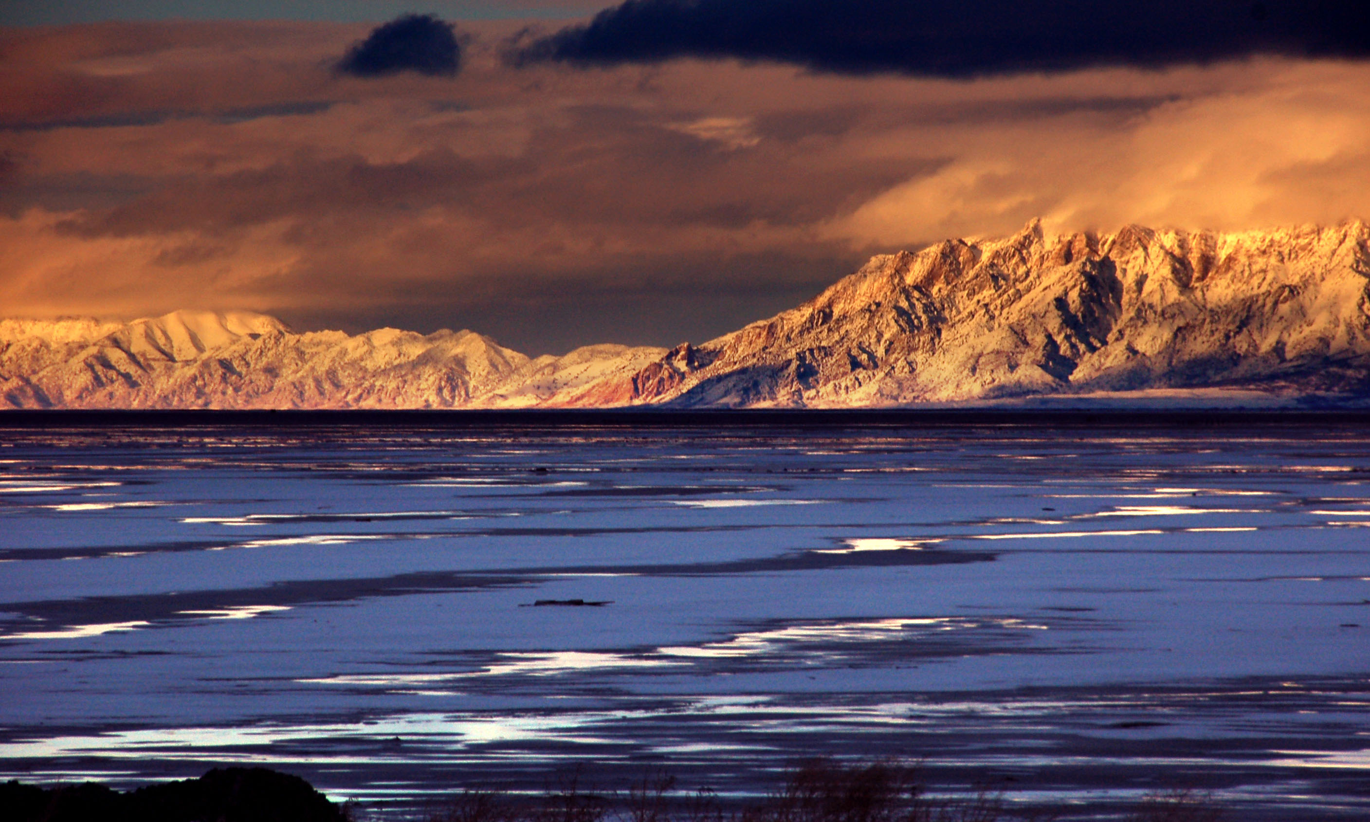
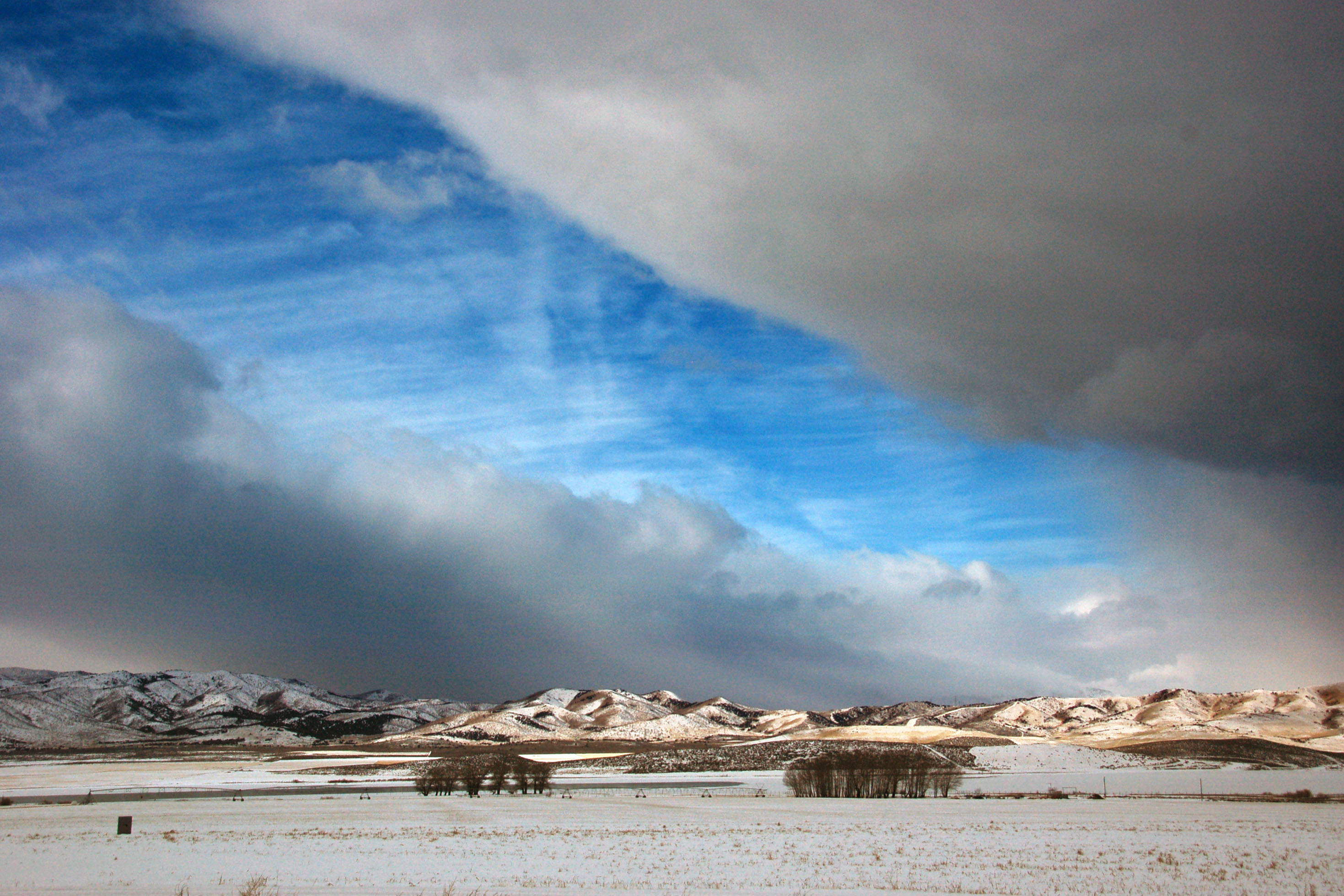
Mountains beyond the Great Salt Lake, as seen at sunset.
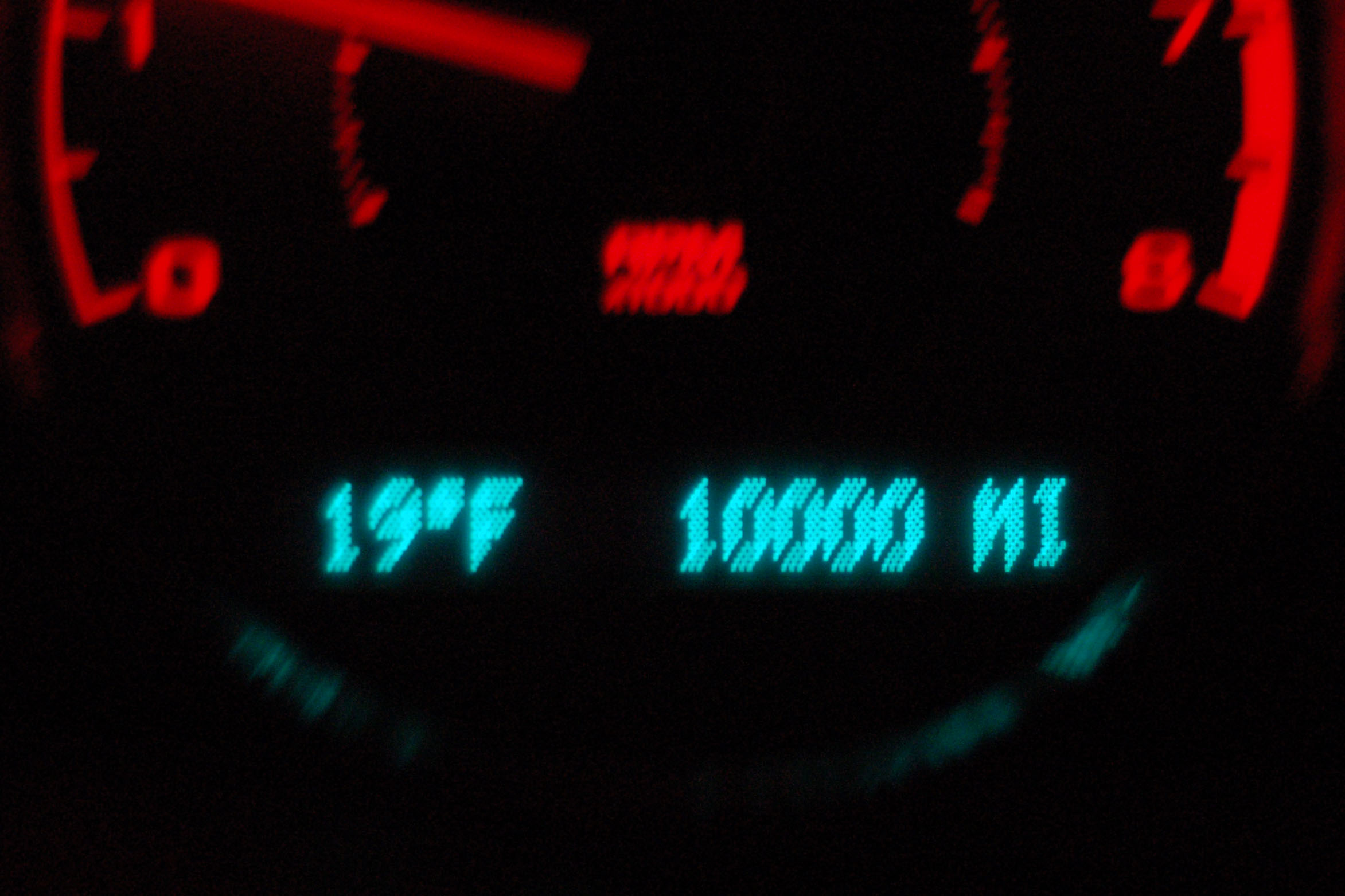
This is what you get when you rent a car to me with 2900 miles on it, and let me loose an entire week with it.
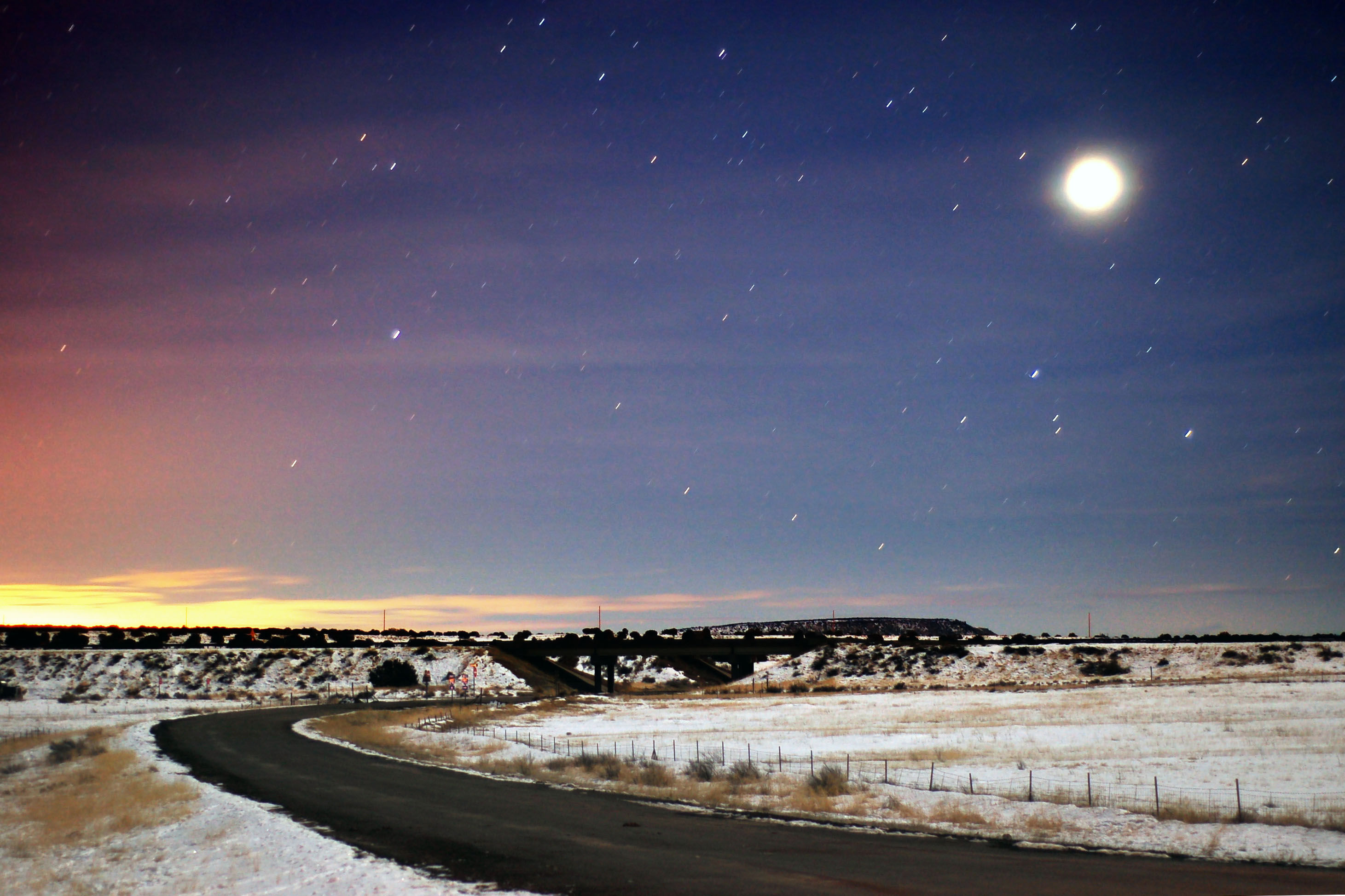
Moon, just around the earliest beams of sunrise – somewhere in rural Utah, on US-6 a few miles past the Colorado state line.
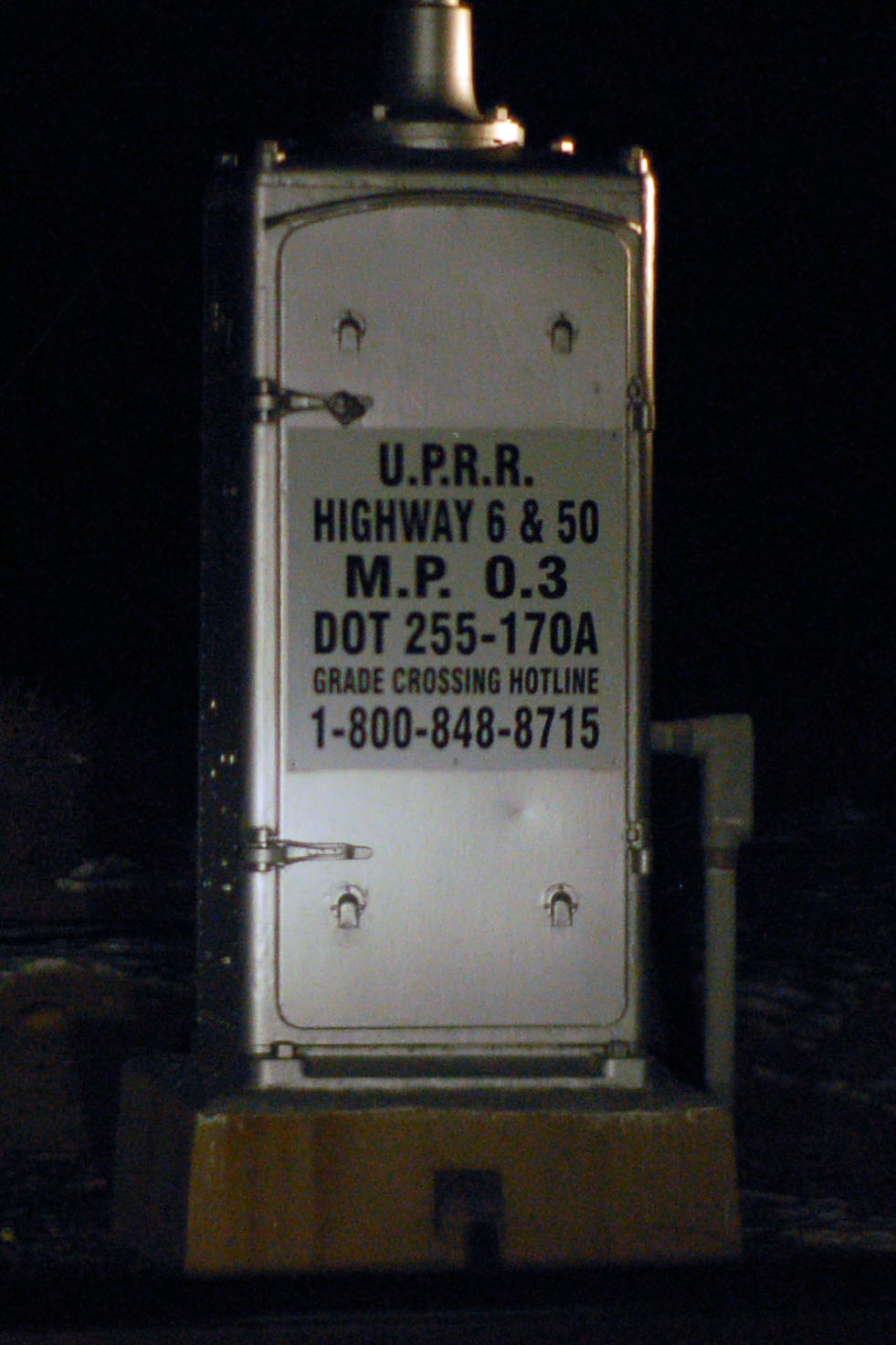
This alignment hasn’t been US-6/50 since about 1986 – but the railroad electrical box remains.
Old button copy sign on an old US-6 alignment.
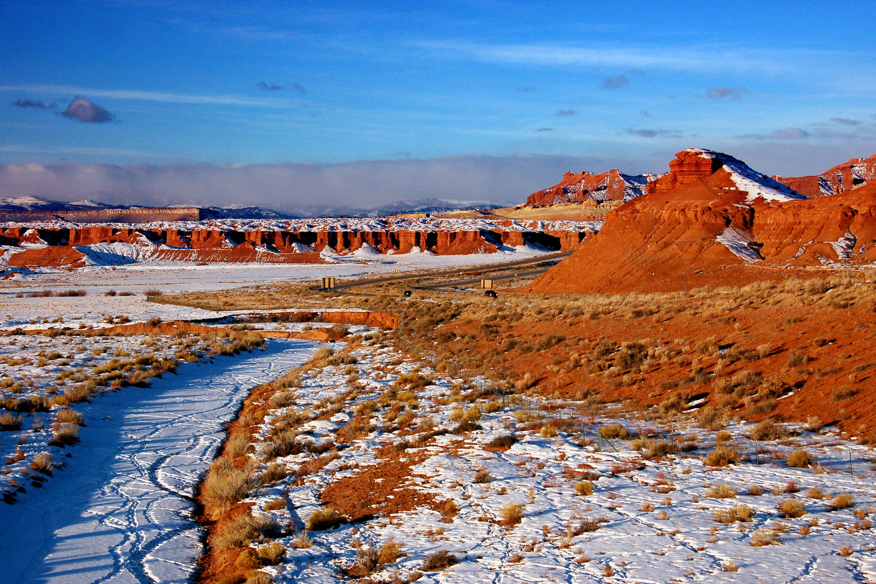
Just a little further into dawn. One of the rest stops along I-70 presents this view.
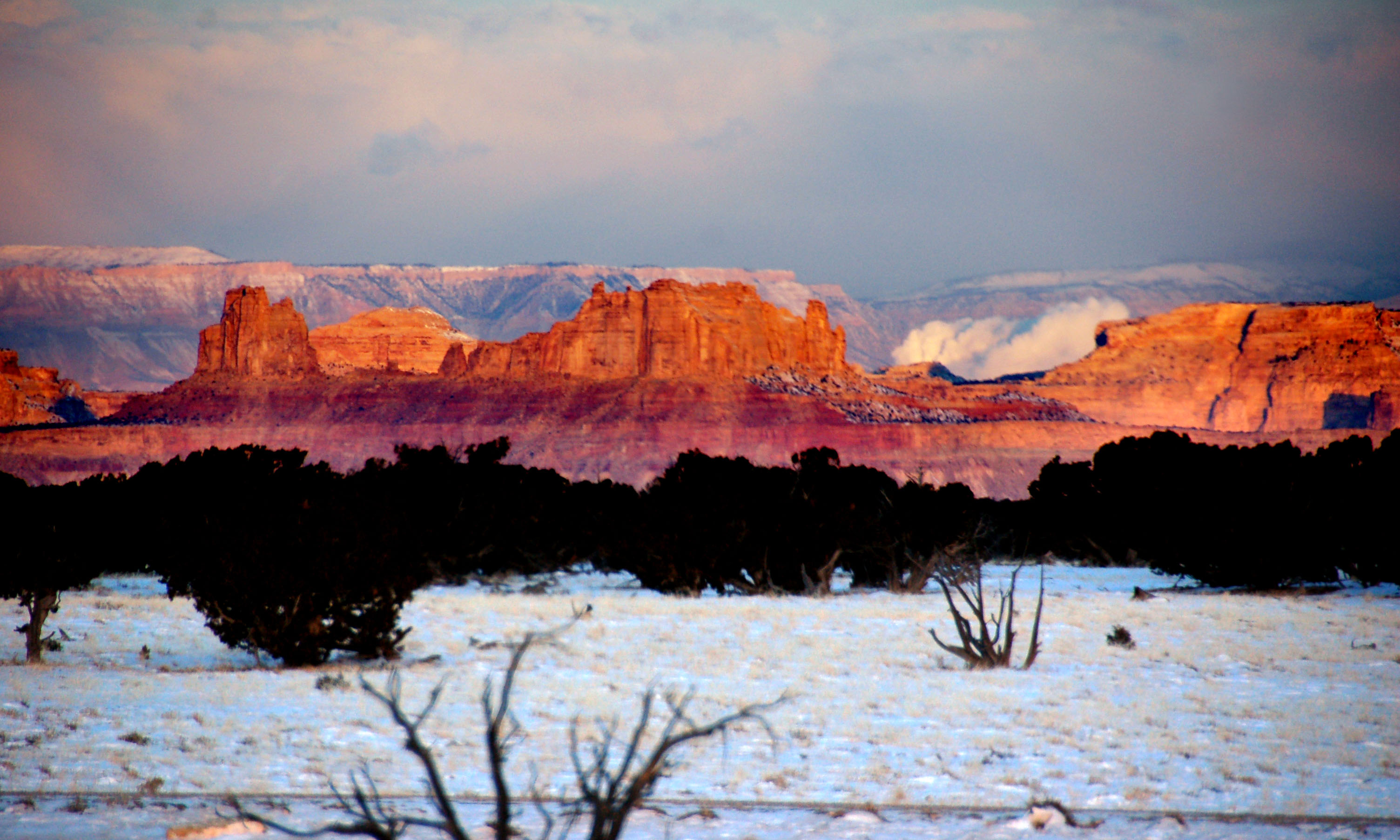
Distant red rocks at dawn.
More old button copy.
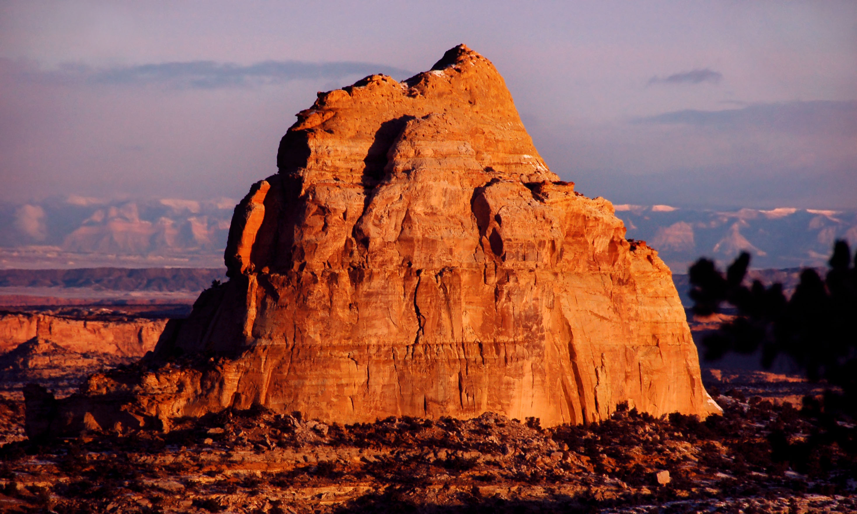
A beehive-shaped red rock.
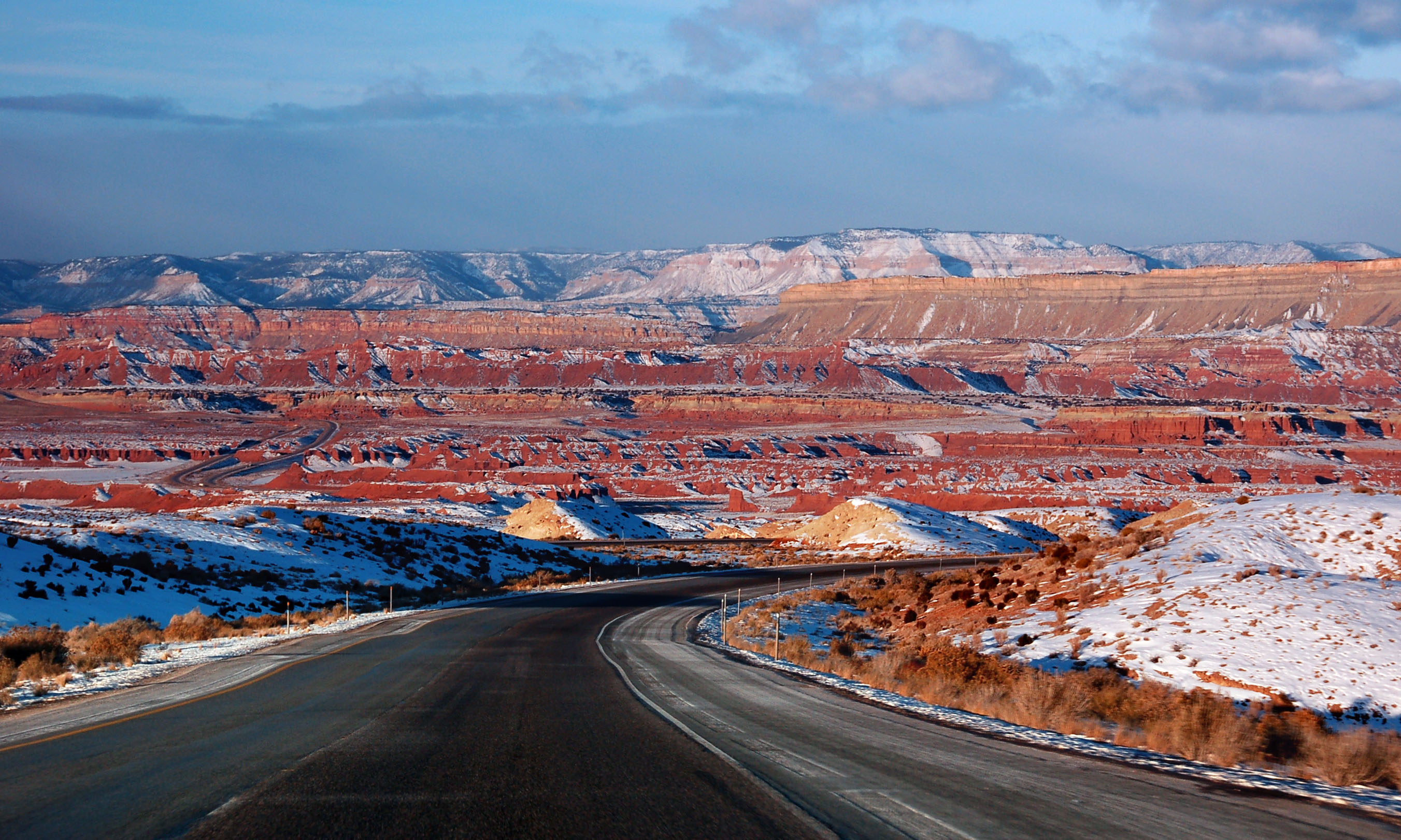
Interstate 70 heading into the red rocks.
Off to the side: red rocks and snow.
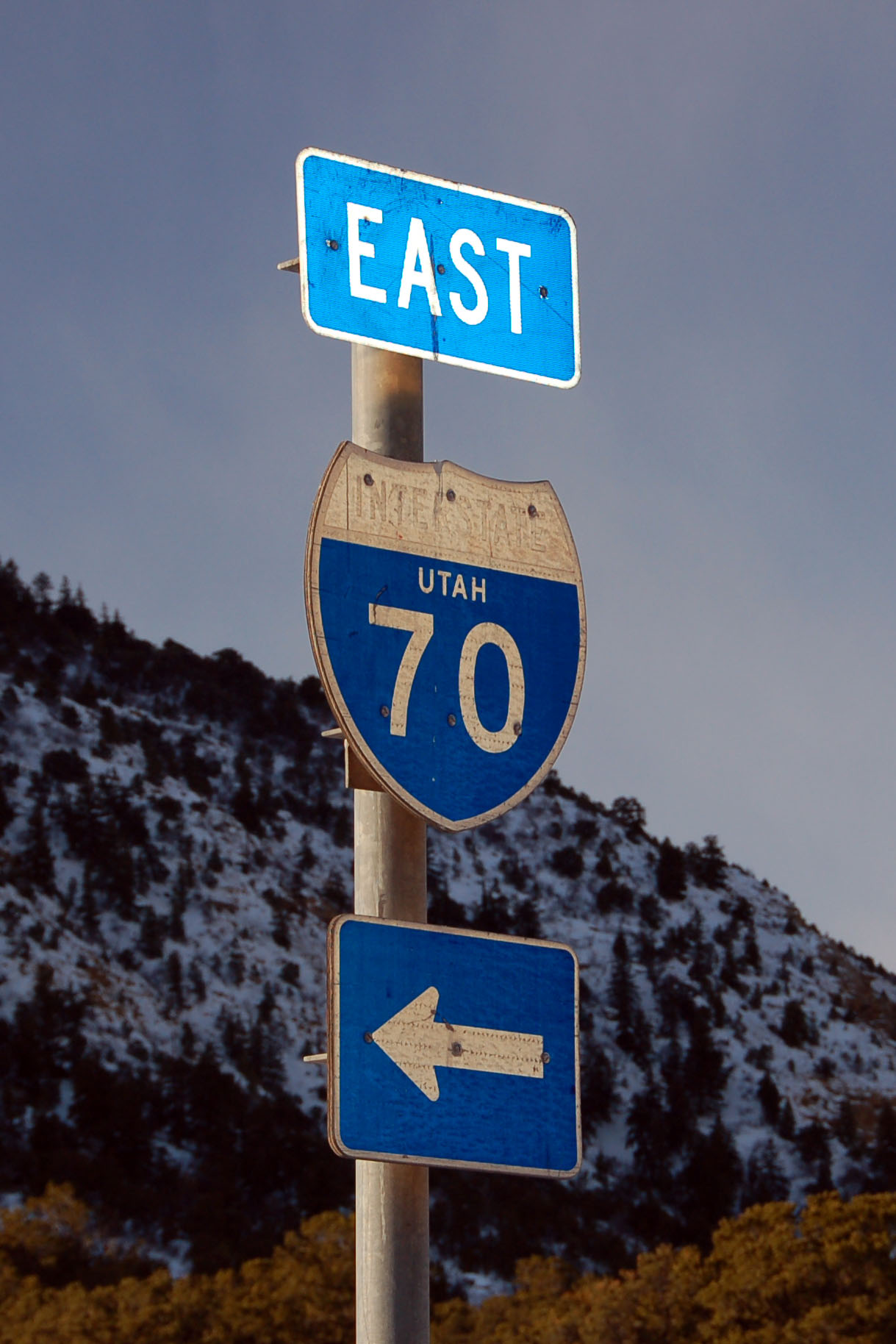
The last old-style interstate shield in Utah. I took this picture in December, 2007. When I went back in November, 2008, it was gone.
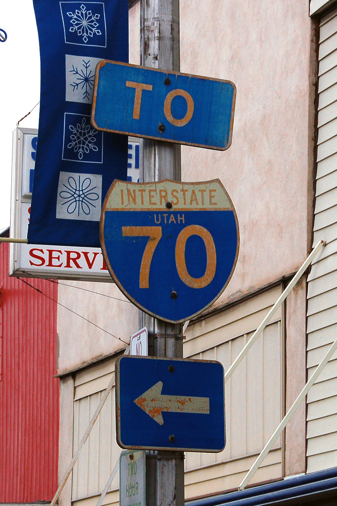
And this one, too, in Salina… gone. That leaves a whopping grand total of zero state-named shields in Utah that anyone knows about.
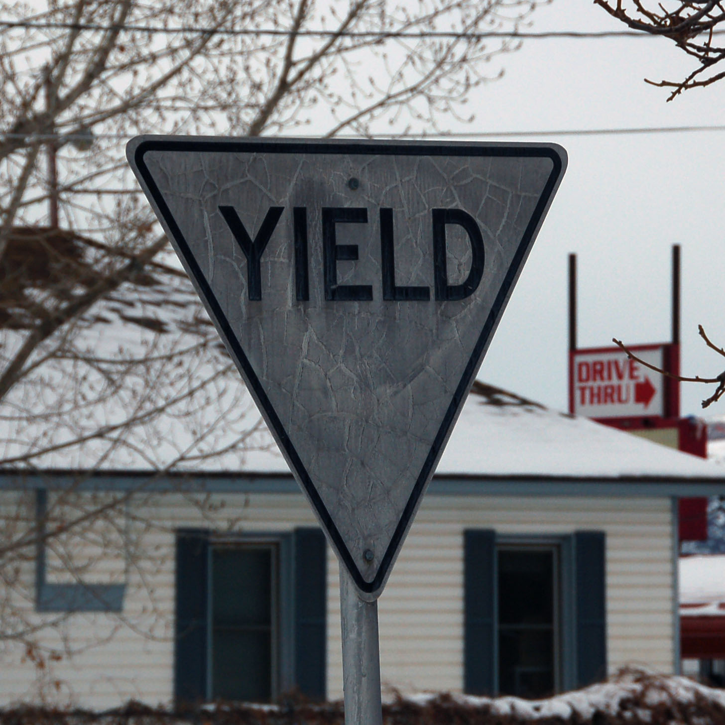
Old yellow (now white!) yield sign.
A nifty gash in the sky.
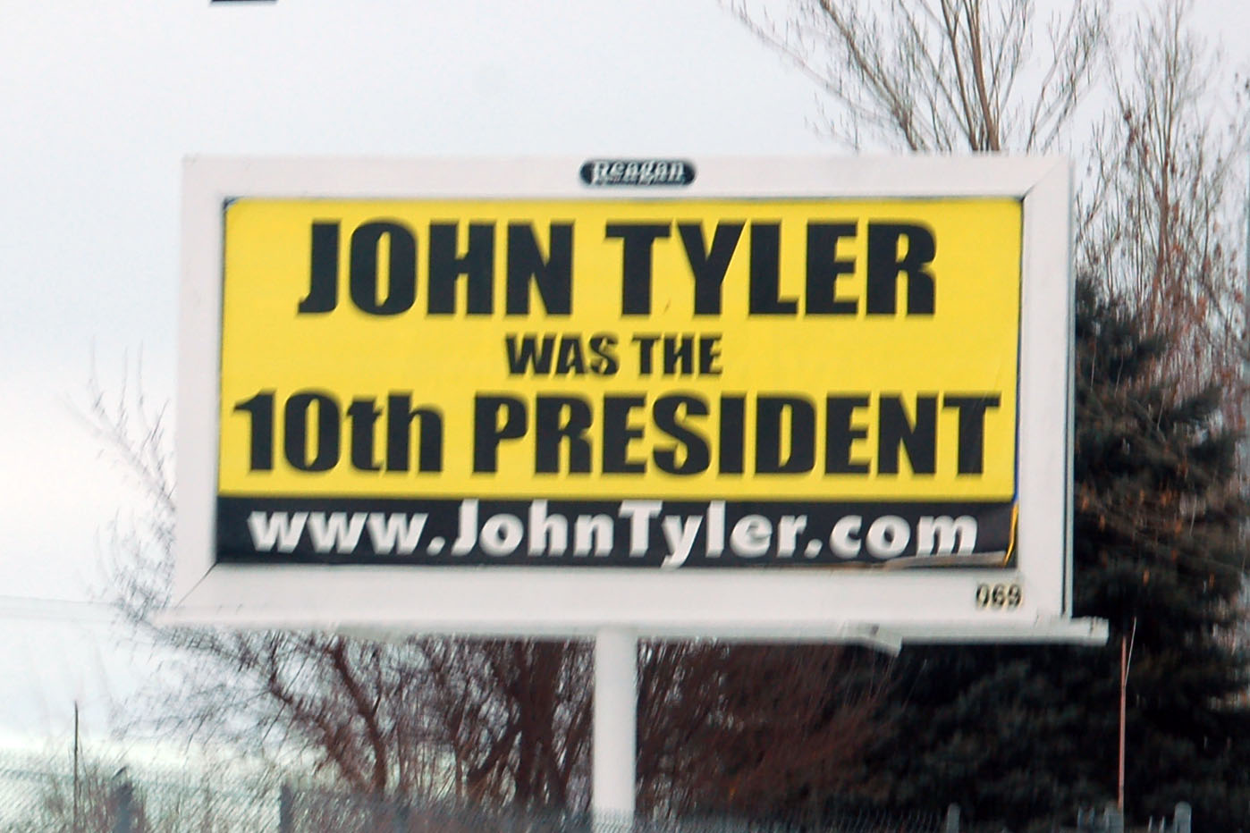
That he was. But the domain name ends up belonging to a realtor. Which, in 2007, was not a bad occupation to be.
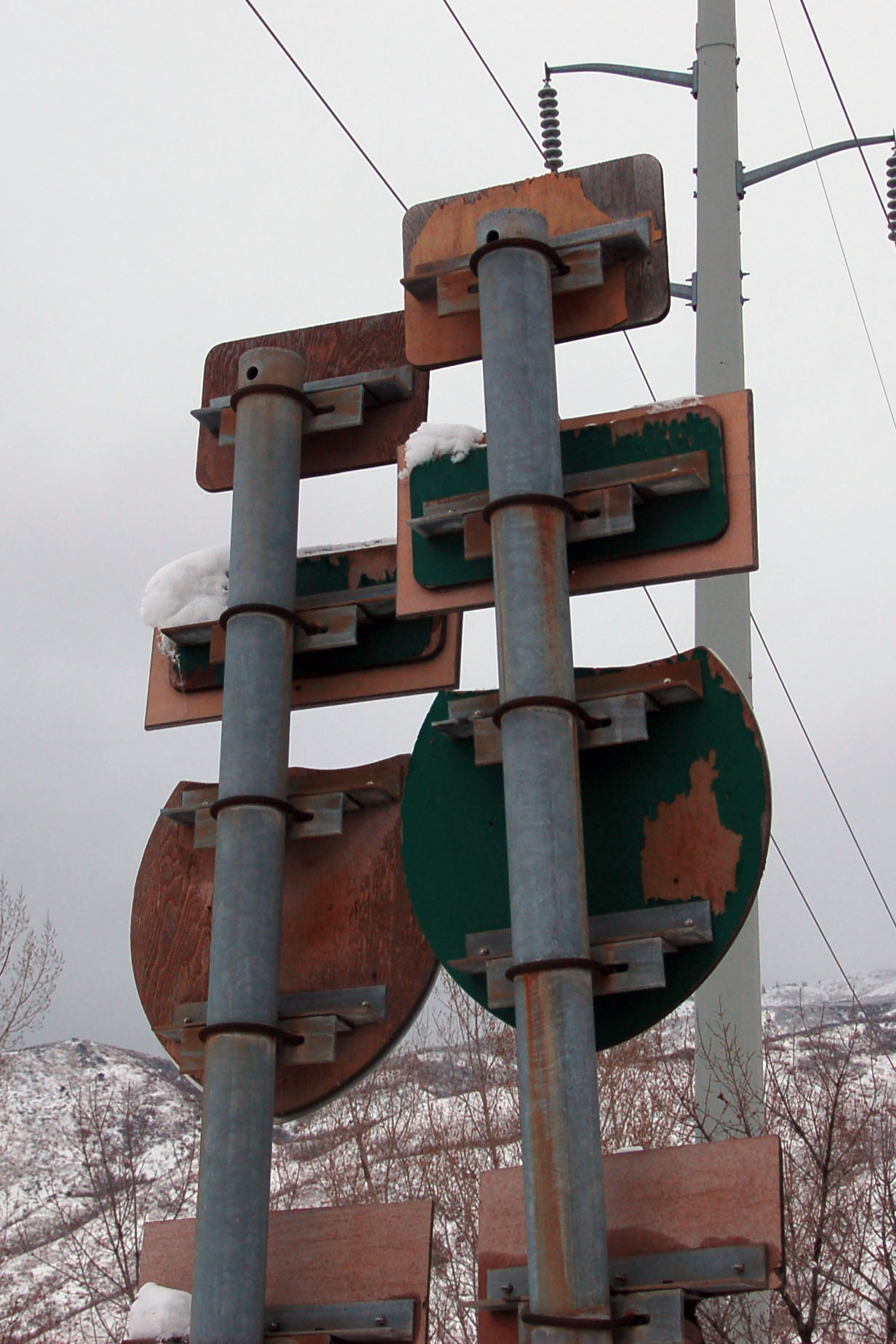
The last state-named shields in Utah. Covered up, of course. No visible state-named shields found in Salt Lake City; or, really, anywhere else, as they appear to be all gone.
that’s all for now! Next time – Bonneville Salt Flats, and return to California by way of Nevada.


The contrast with the snow and the red rocks is stunning. Great pictures.
Are those button-copy signs on old US-6/50 just off the freeway? I’d like to know where both of those signs are so I can take a look at them next time I head down there (maybe in the spring).
The John Tyler thing was an experiment. They took two polls to see how many people knew who John Tyler was, one each before and after the poll.
And where are those covered-up state name shields? I have a foggy idea but I can’t really tell. I’ll be praying the new shields fall off somehow, since it looks like UDOT eliminated the last state name shields once and for all.
P.S. Did you happen to go on the original alignment of US-40 west of Salt Lake City (in between the airport and Tooele)? Right now it’s in use as a frontage road, but I’m pretty sure there’s some concrete on there dating back to at least the 1940s.
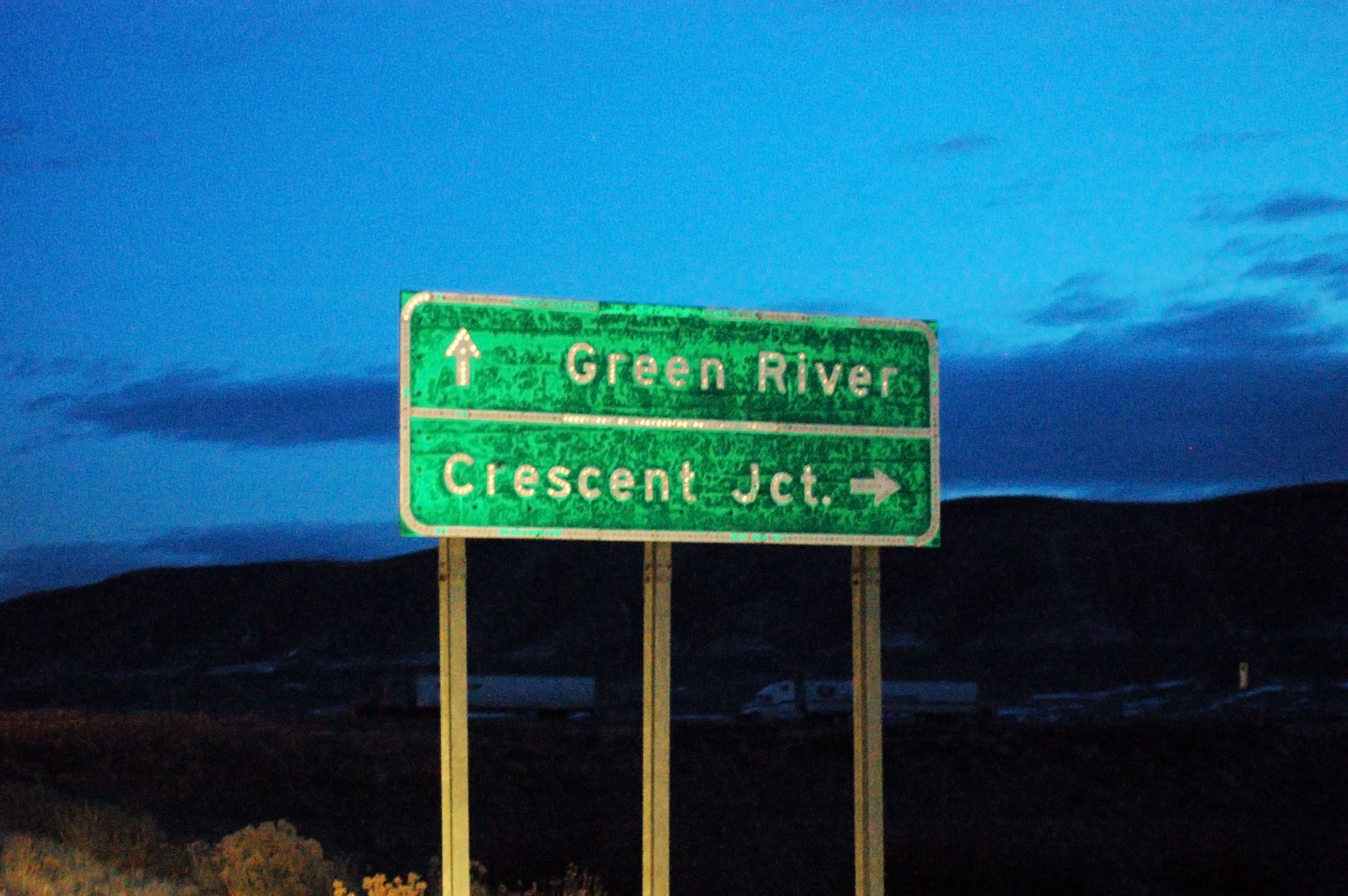
I believe the Green River/Crescent Jct. sign is just north of the freeway.
and yes, I have taken the airport-to-Tooele alignment. There is indeed 1940s concrete there. At some point the road spurs off and dead-ends; that is further west than Tooele, I believe.