
The second batch of South Texas photos.
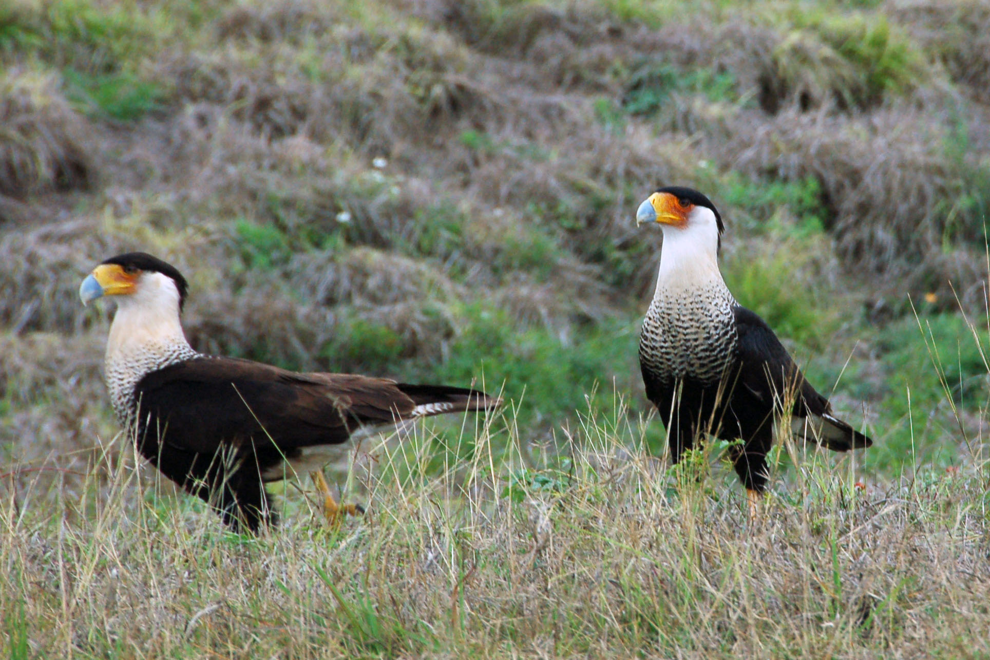
A pair of Mexican eagles, not too far across the Rio Grande in Texas.

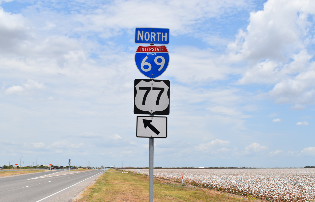
Odd duck of an interstate shield. Several of these are found in Laredo.
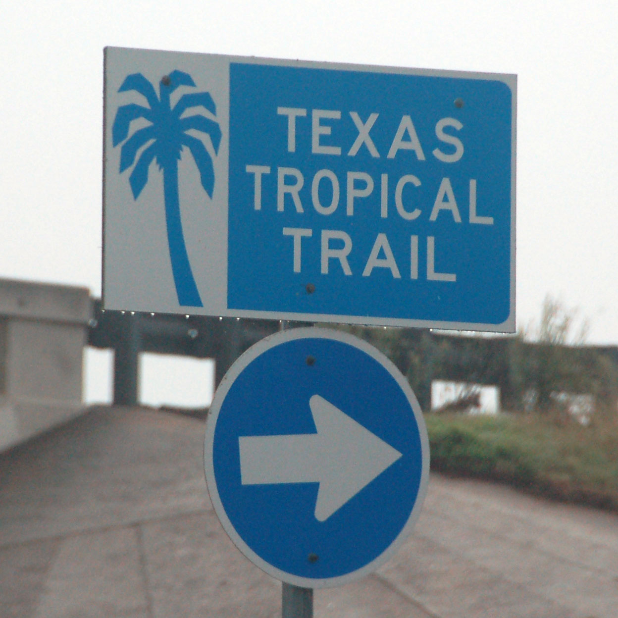
US-77 is the Texas Tropical Trail.
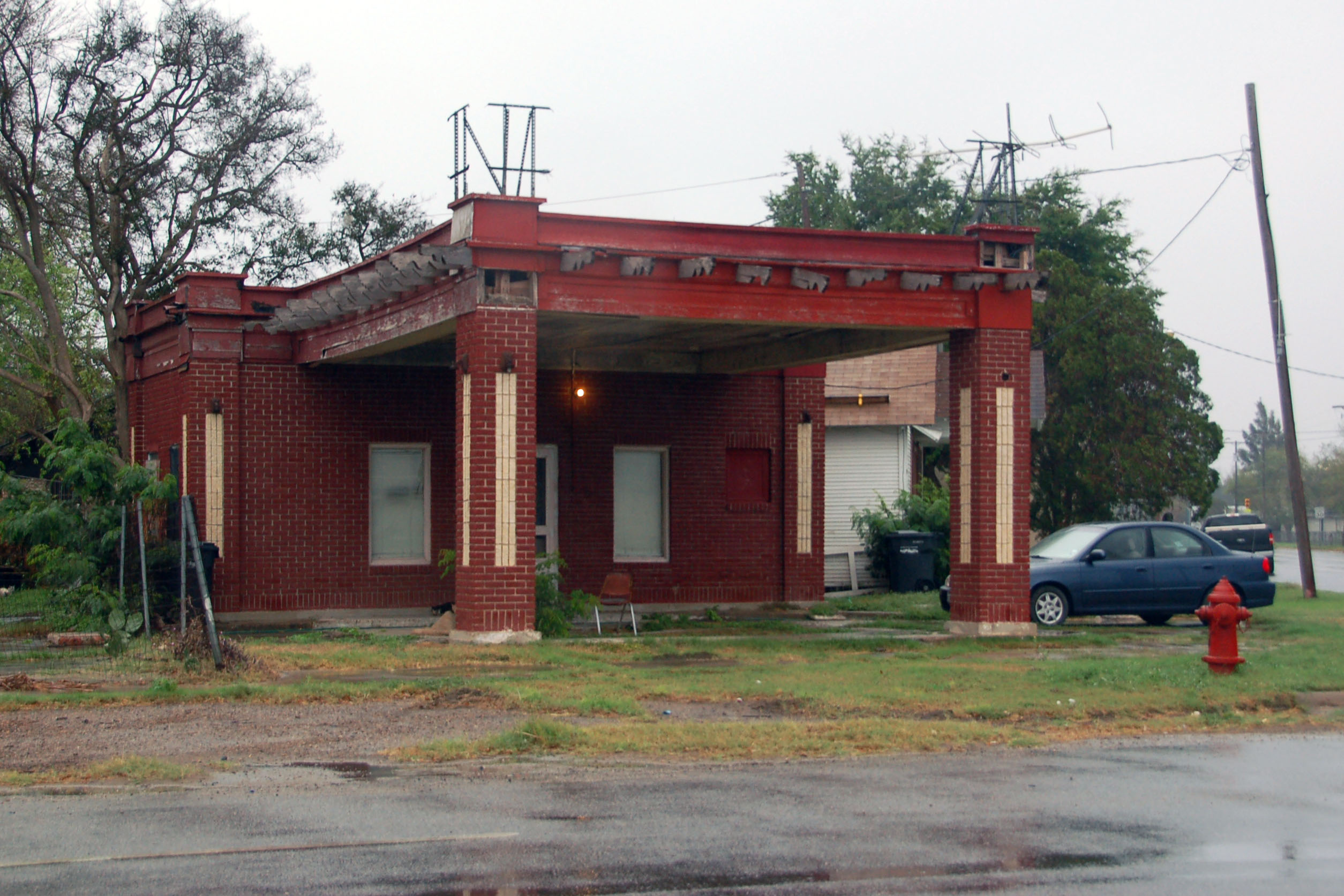
An abandoned gas station in Brownsville.
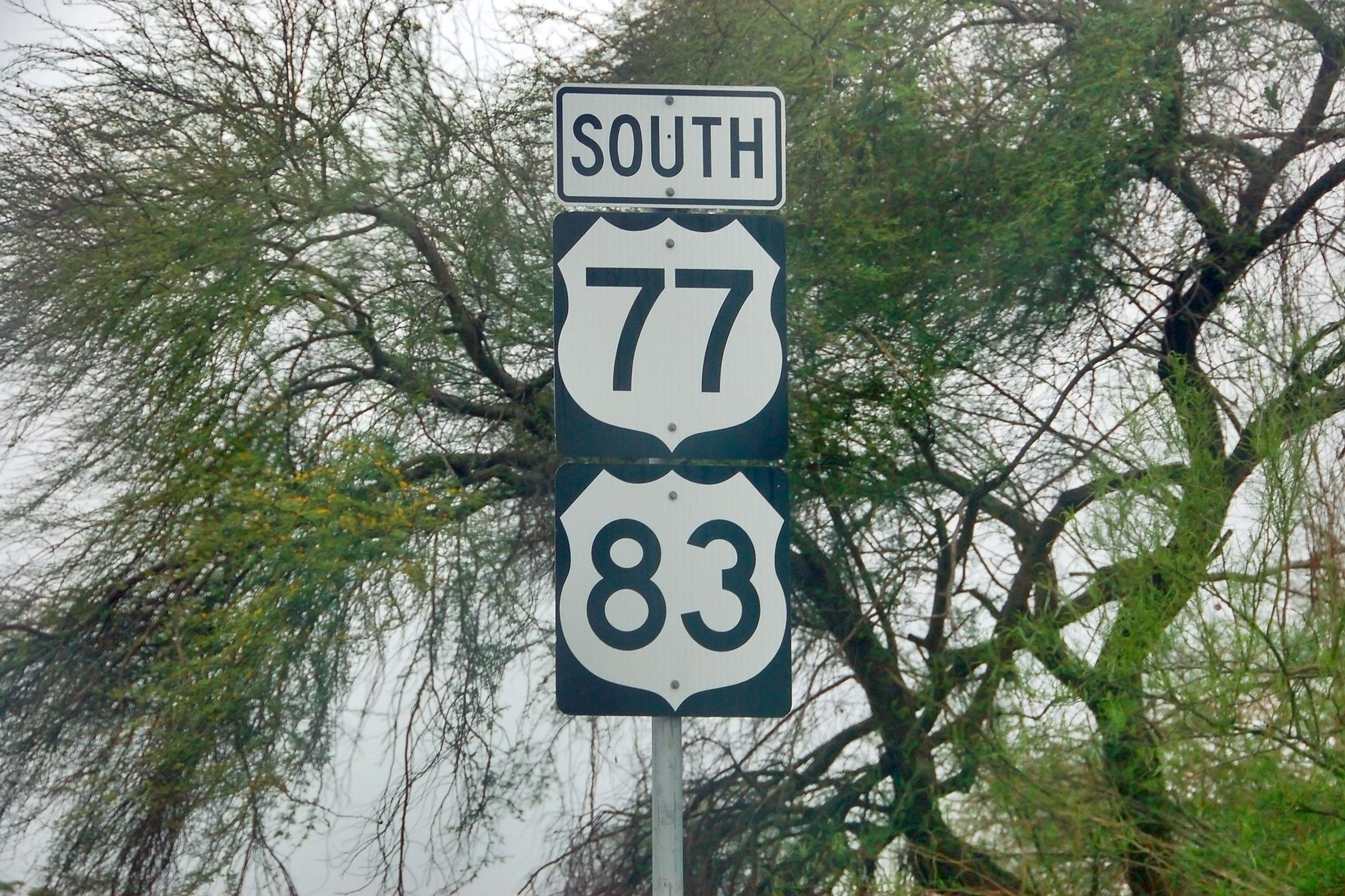
Getting close to the end of 77 and 83.
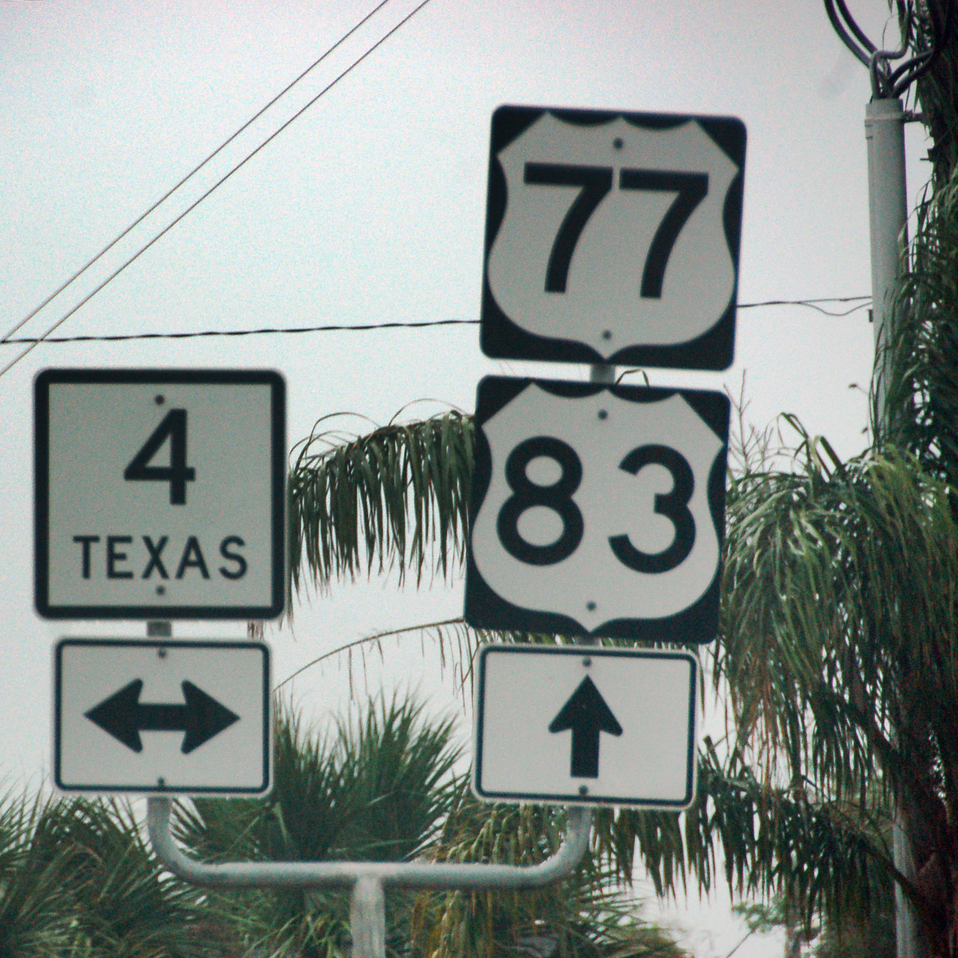
4 is the southernmost route in Texas.
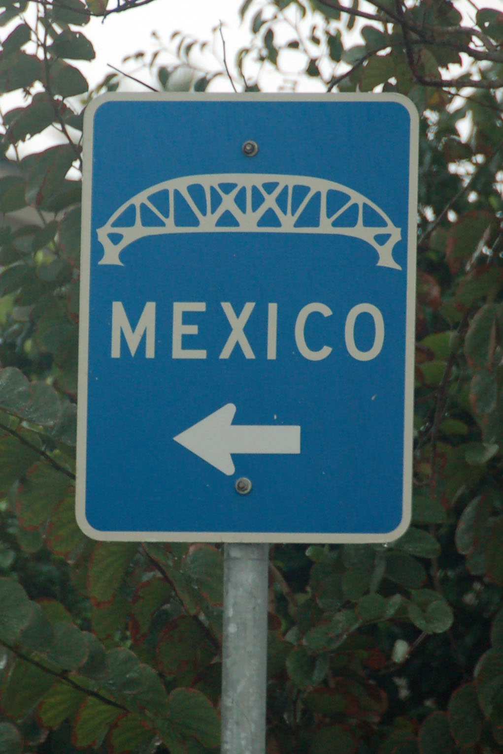
Here is the last possible place to turn around.
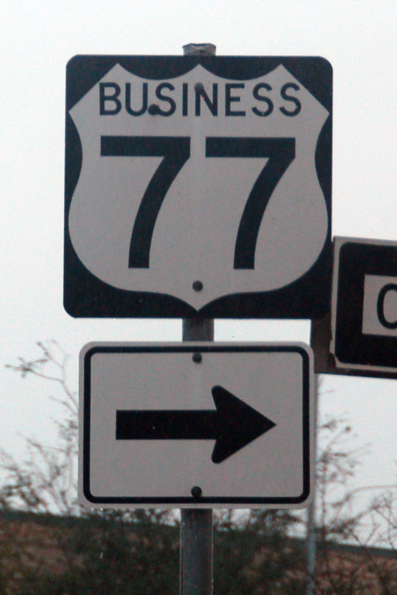
Business 77 heads back through downtown Brownsville.
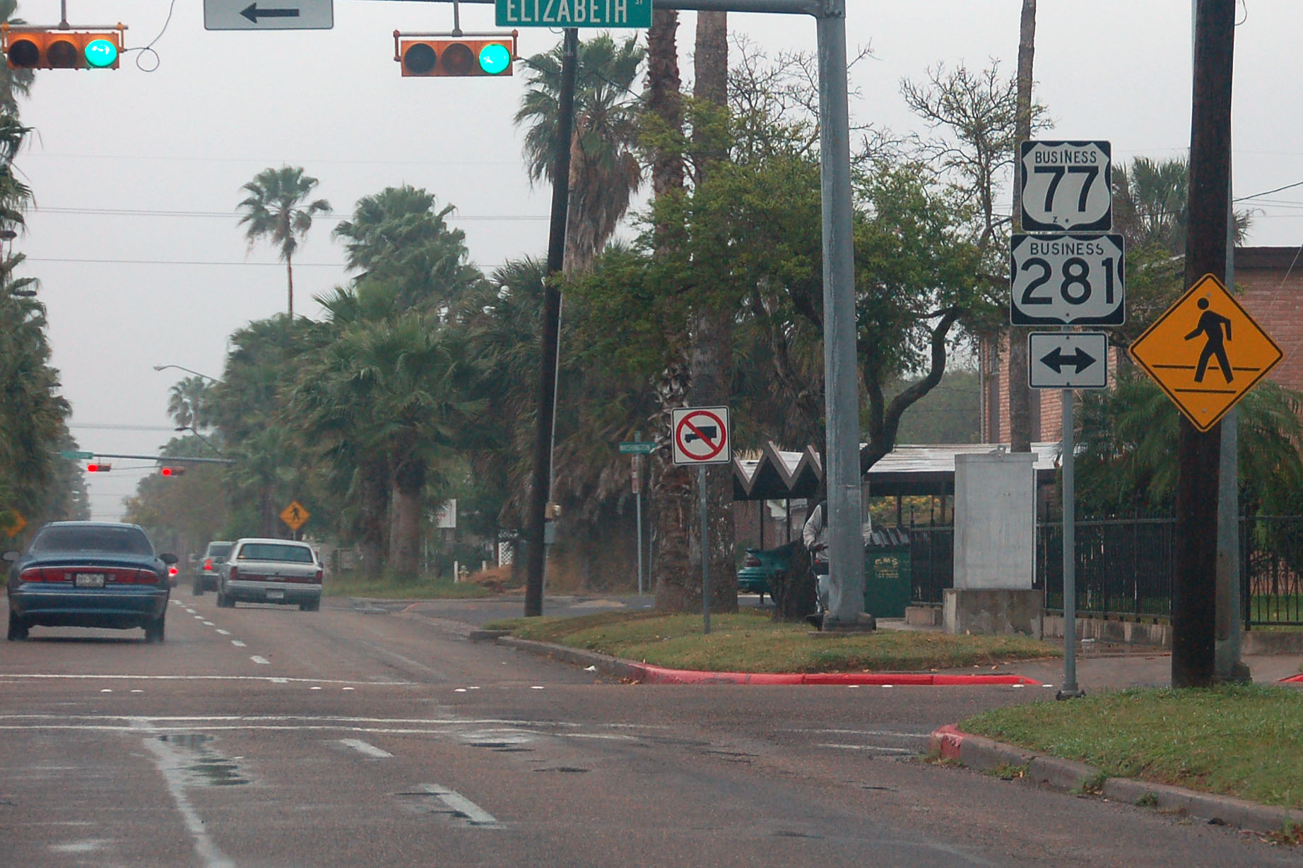
The only business 281 marker. Business 281 is multiplexed with business 77 all the way down to the junction with 77 and 83 at the Mexican border, but it is only signed this one time.
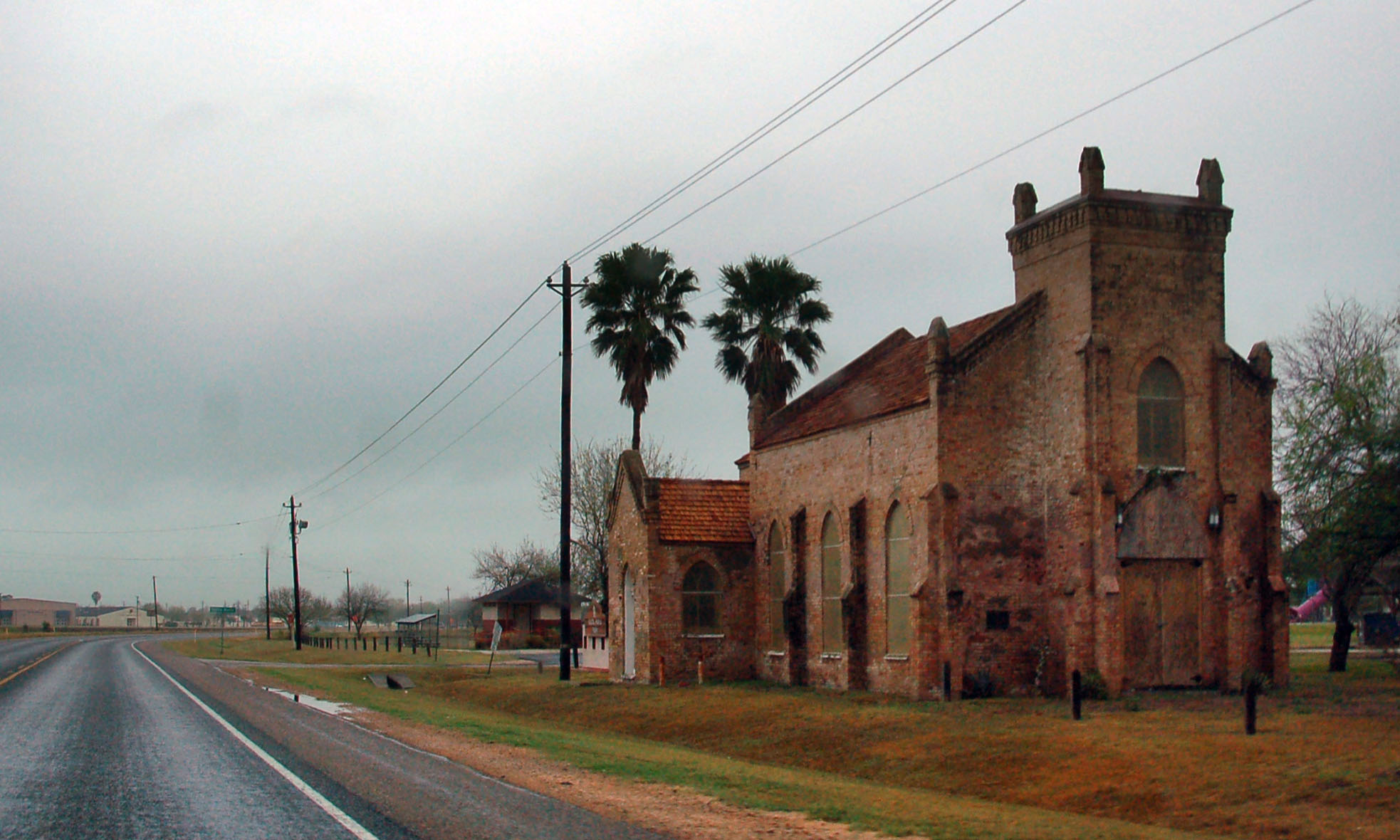
We head out of town on US-281, and soon we come across this old Spanish church.
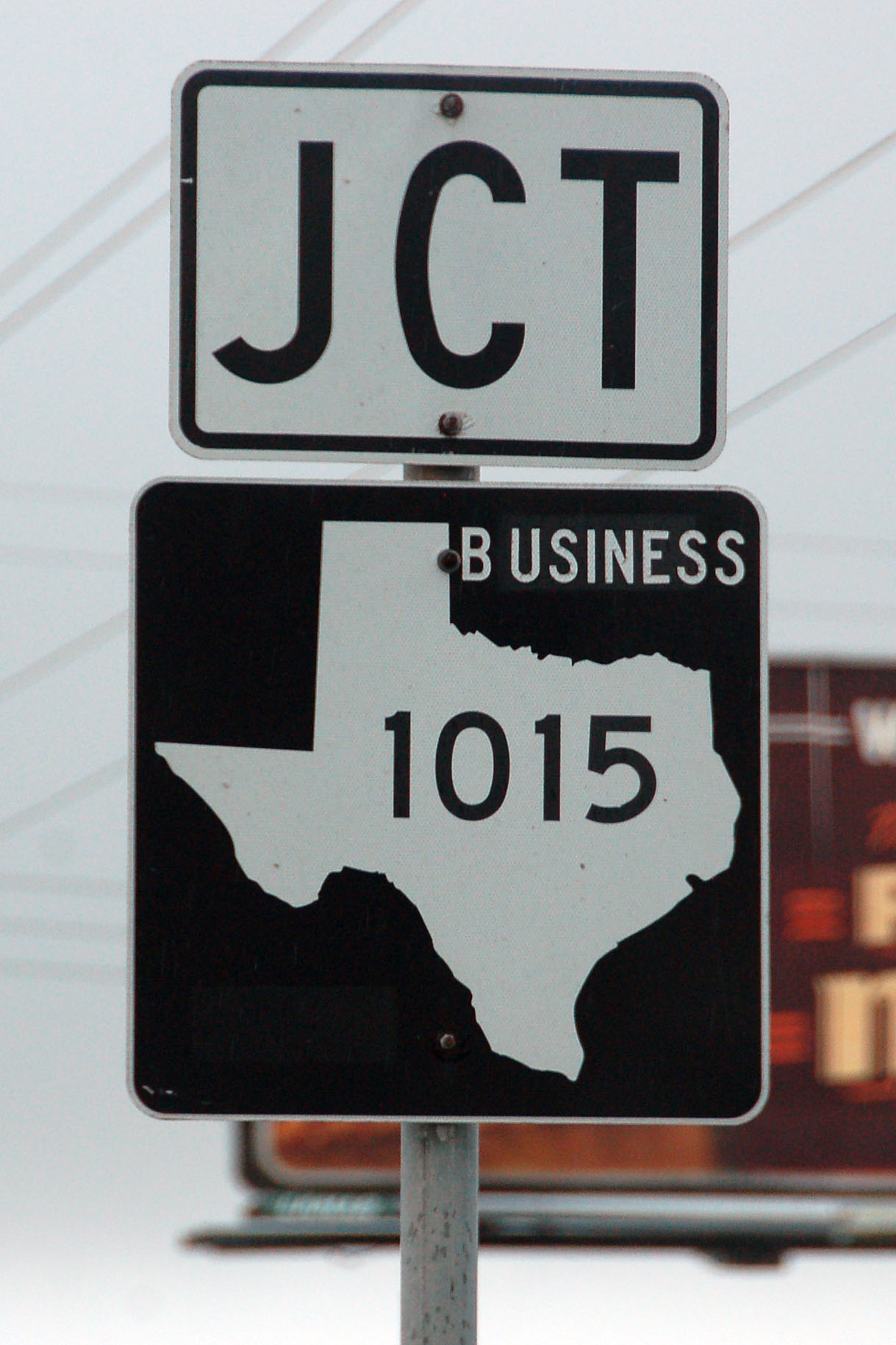
One of two business farm-to-market roads in Texas. The other one is in Houston, near the airport.
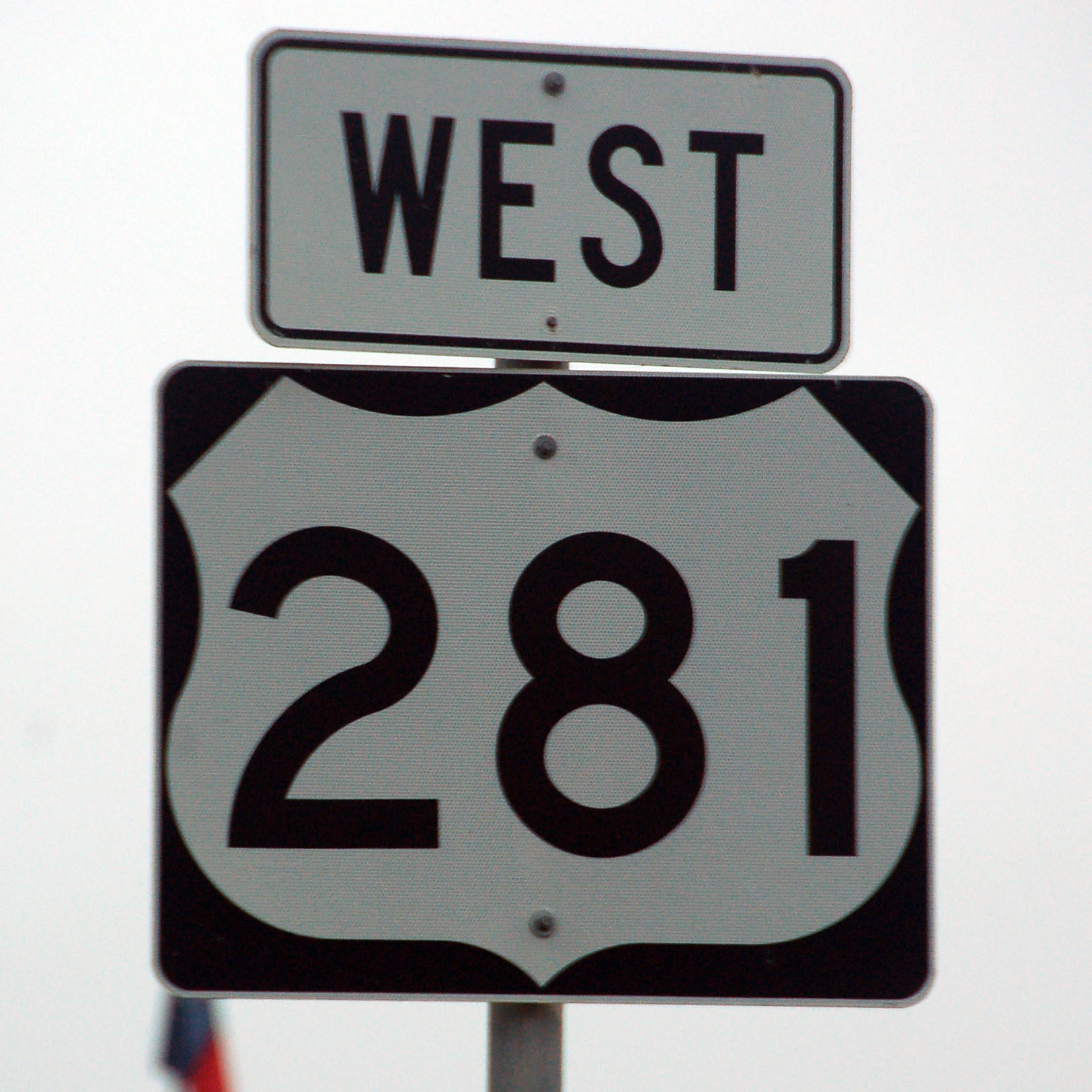
For its first few miles, US-281 is signed east-west.

The sky begins to clear a small bit as we head inland. We’re now on the US-83 expressway.
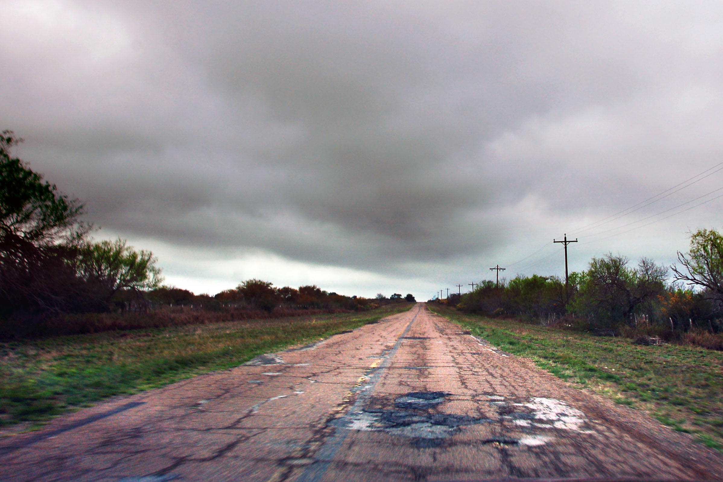
This old 83 alignment is only about a mile from Mexico.
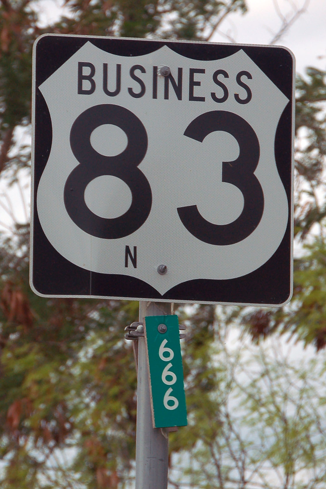
It looks like someone’s already made a bit of an attempt to steal the devil’s mile marker.
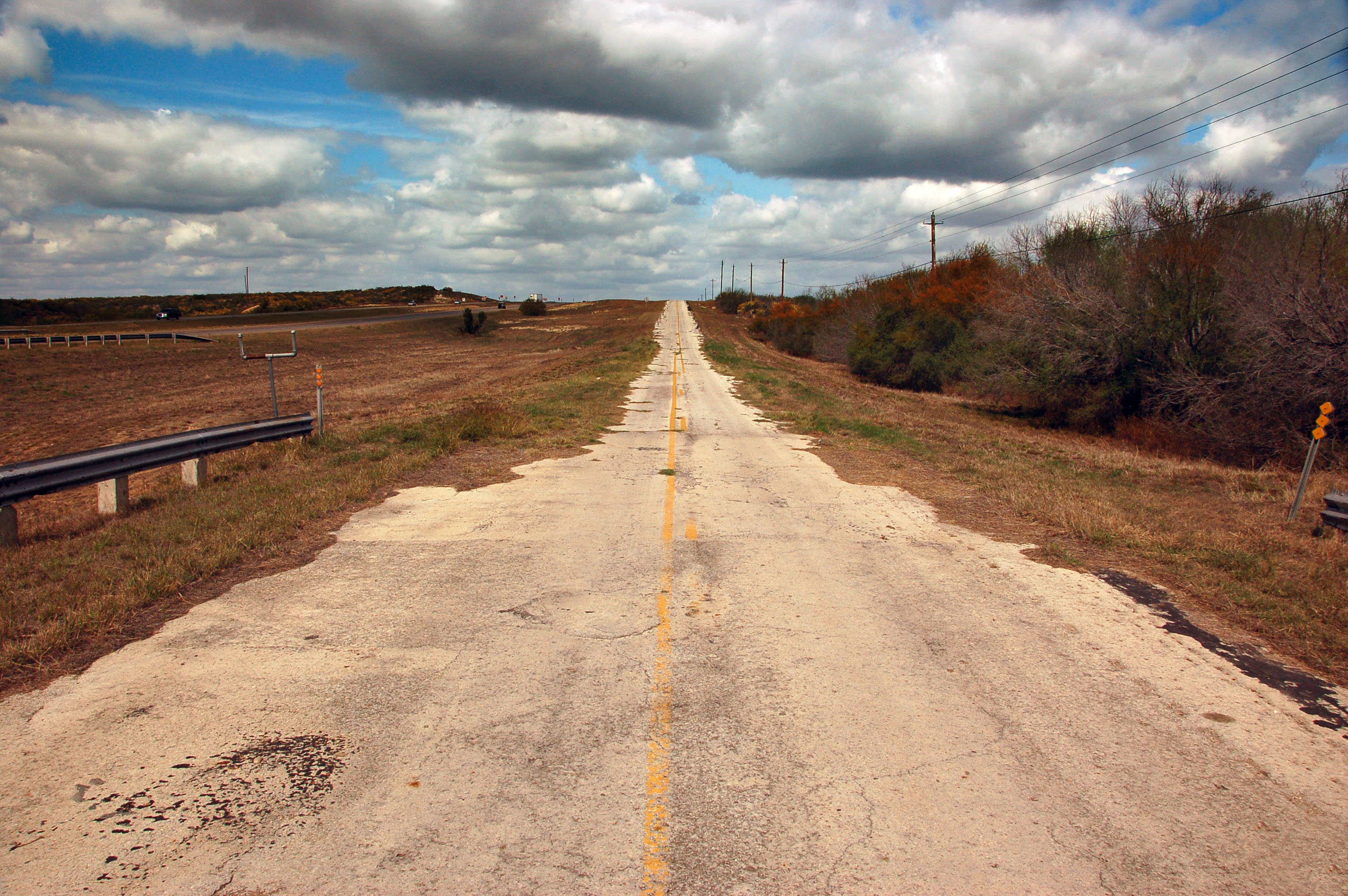
Another old alignment; this one quite close to Laredo. It was bypassed very recently – note the modern-style guardrail. The new four-lane expressway can be seen to the left.

The very first I-35 sign, just north of the Rio Grande bridge in Laredo. US-59 begins here as well.

Business loop 35 is old US-81, and that splits off from US-83 here.

One of the oldest interstate shields in Texas. Early 1970s. This one is on the old old US-81, which starts at the very first 1920s Rio Grande Bridge, and heads towards downtown, rejoining the current business loop.

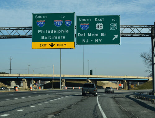
This one is newer, but only by a few years. There should definitely be a “TO” somewhere on this gantry.

A horribly blurry photo of the ramp connecting the first bridge to old US-81 (business loop 35). Business loop 35 – the viaduct in the distance – now goes down the middle bridge, which is off to the right. The 1930s bridge is now for pedestrian use only.

Indeed, business loop 35 is not a loop: it ends at the Mexico border, and is therefore a business spur.

State-named shields are not difficult to find in Laredo. This is the first northbound one on the mainline.

Despite what Google Maps says, Farm Road 1472 does not go all the way to Eagle Pass. This is the first thing to watch out for in Texas: they are not market-to-market roads! Most farm-to-market roads peter out somewhere in the sticks.

Back we go to I-35, where we find one of the last button copy signs in Texas.

The toll road shield comes in two different color schemes.

Here is a white variant that I have not seen elsewhere.

Somebody forgot a space.

State-named shields on one of the business loops.

Odd choice of control city, as this is the Pearsall business loop. Technically, yes, it is a way to get to San Antonio, but staying on the freeway would be the better choice here.

A rare mention of US-81.

Texas commonly uses this shield shape only on green guide signs, but here is a stand-alone example.

The very last US-57 reassurance marker, at the junction with I-35. Its other end is at Eagle Pass, and it is almost due east-west. It is signed as 57 because it continues Mexico Federal Route 57 – it is signed north-south because Mexico 57 is actually a north-south route.

The sun has set on us.

I don’t remember which junction this is, but it is on I-35 northbound in San Antonio.

Quintana Road. This is a long exposure, with the city lights of San Antonio in the background. This may very well be the first US-81, before the more direct New Laredo Highway was built. It parallels the railroad tracks directly.

City lights, and an airplane landing.

Old railing on Somerset Road, which is another former state highway.

Found this one at the very first exit I looked at.

I have no idea how permanent these are.

Appropriate orientation for this sign.

And one final route to finish things off.


I don’t think US 59 technically starts there – it probably ends at BL I-35A (former US 81). It’s certainly not signed southbound from Exit 2 along I-35.
Also, the ramp under construction there (from Santa Ursula) is designed not for access to Bridge 1 (although you could use it for that) but instead to allow people to get to the parking lots down under Bridge 1 more easily as part of the redevelopment of the El Portal Center (Laredo’s former mall that’s been shuttered for years). Eventually I think there’s supposed to be a companion ramp from that area to the northbound street (San Dario).
I’m not sure what the technical route of BL I-35 is, exactly. I think it originally followed the historic US 81 route to Bridge 1, but that’s been rerouted southbound. As-is the signage peters out around the intersection of San Bernardo and the Matamoros/Houston one-way-pair (which is US 83 east of Santa Ursula/San Dario).
There is a caliche road that will get you all the way to Eagle Pass (another FM road connects to it at the other end). My guess is you’d bump into the Border Patrol headed out that way. My understanding is pre-9/11 most folks took MX 2 instead, hence why the route never was connected; now the border is more of a pain there might be some long-term pressure to pave the route as US 83/277 is out-of-the-way and requires passing through fixed border patrol checkpoints.
On the white Toll 255 shield: yep, that’s our Laredo District and their “creative interpretation” of the Texas MUTCD. Just be happy you didn’t go flying off into a drainage ditch or guardrail due to one of their misplaced exit gore signs.
I really enjoy your photoessays from your trips. I find myself wishing for lat/long coords for your old alignment shots so I can trace them on Google Maps!
Chris, thanks for all the info!
I didn’t feel like taking the unpaved road – there were, indeed, lots of border patrol vehicles in the area, but they all left me alone.
US 57; my highway to home.
I can’t wait for loop 480 to open in Eagle Pass. It’s almost ready…
If you’d gone a tad further north, you’d have wound up where *I* live!
It’s possible that interchange on 35 is where it meets up with 37 that heads to Corpus Christi.
Every time I see the name “Carrizo Springs”, something in my brain wants to make it “Chorizo Springs”.
I flew in and out of Austin. I did north of Austin on 35 on the first day of the Texas trip. All the way to the 35E/W split south of DFW.