
a visit this 4th of July weekend to sunny Union County, New Mexico. Just a brief dash of a trip: 2500 miles in two days driving, and then two days spent there being lazy and taking pictures of bees.
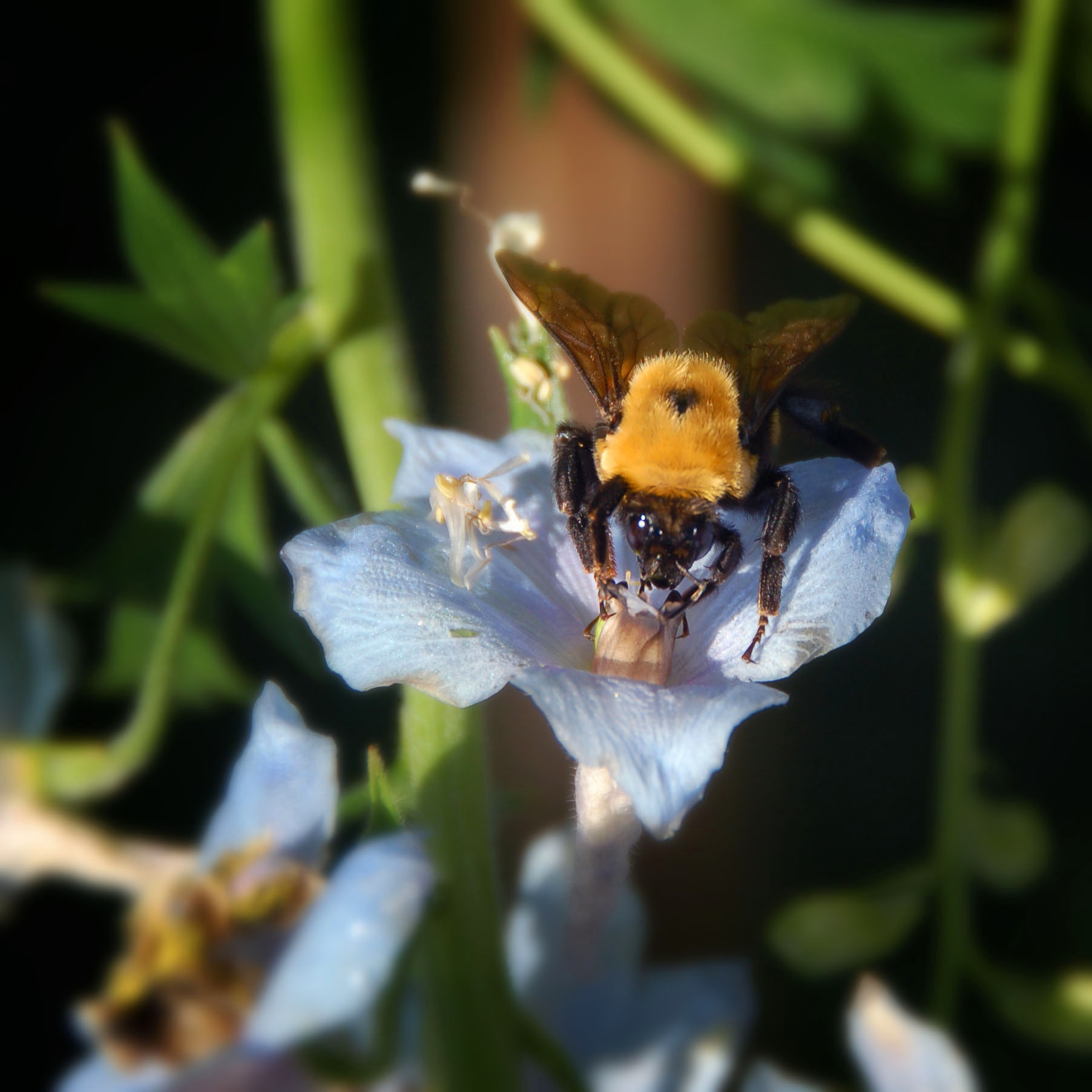
Sunny Union County is inhabited by huge bees.
Little house on the prairie.
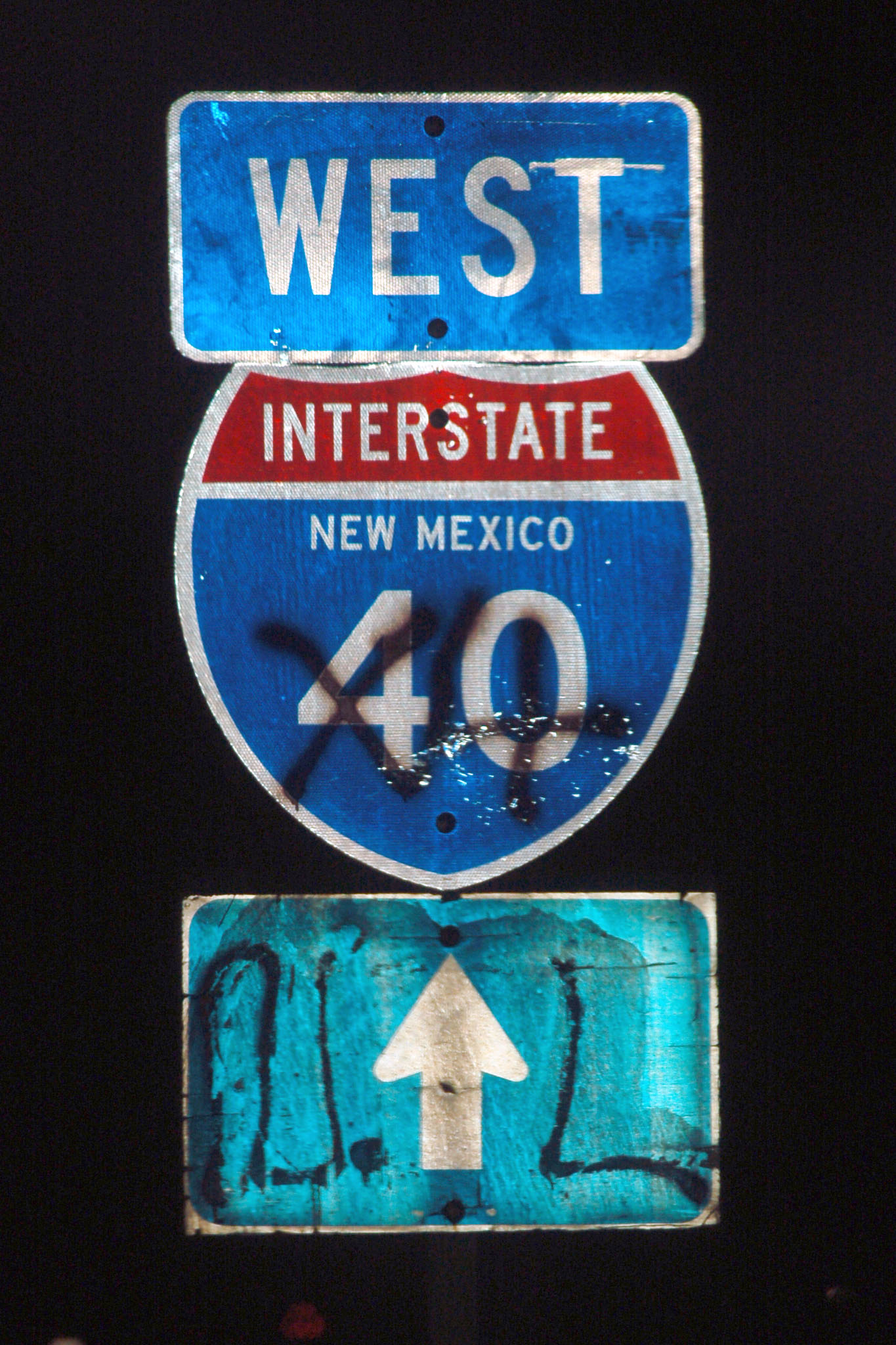
What is missing here? An I-40 shield fell down off this sign! What makes this extra interesting is that I could verify the absence of any US-66 signage underneath. The sign goes back to the late 1960s, and while 66 was still around as a route until 1974, the US routes were starting to get de-emphasized in favor of the interstates on the multiplexes as early as 1964, when the gradual decommissioning was started.
Alas, it was night, so I did not feel like stopping on the freeway to find a potential souvenir.
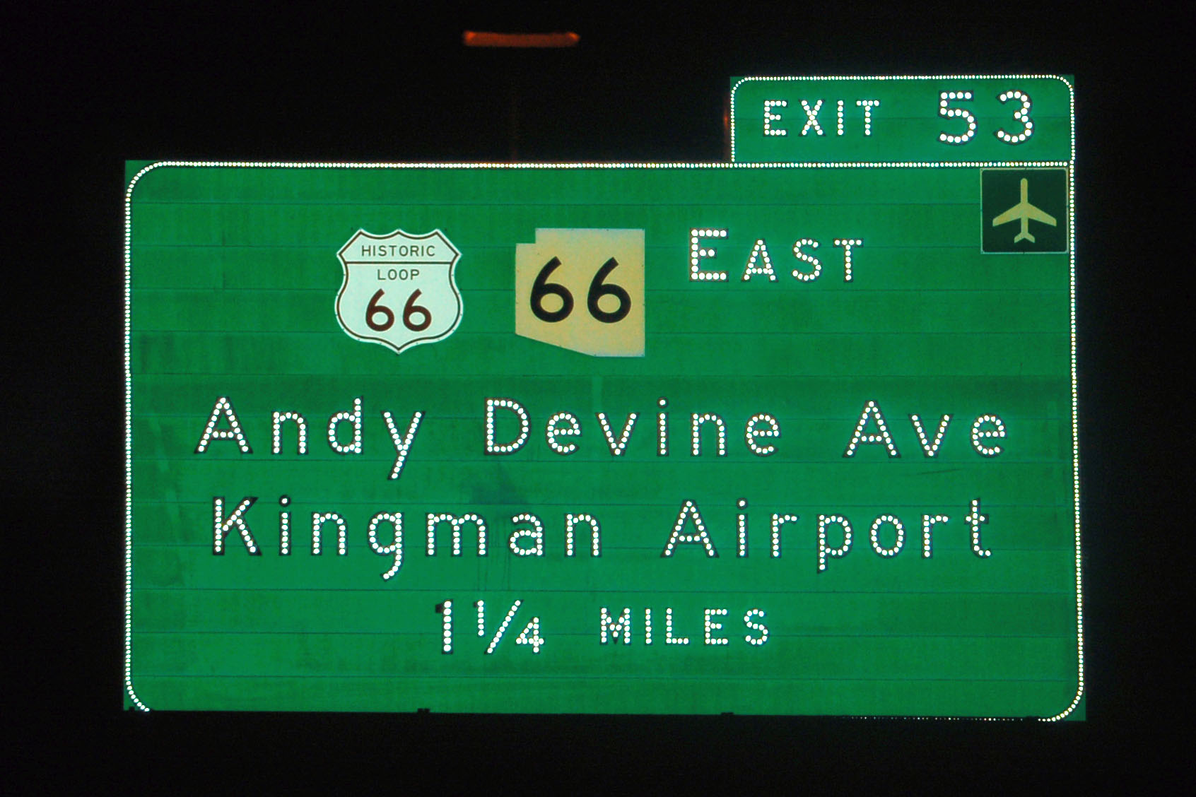
Kingman, and the I-40 corridor in general, still has plenty of button copy – this in contrast with further-south parts of the state, which feature more and more retroreflective Clearview signage each day.
Not hard to find original-spec interstate shields in New Mexico.
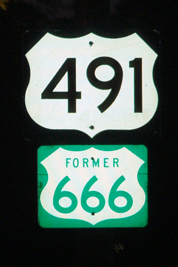
A 666 sign, on the other hand, would be quite the find. They really made an active effort to eradicate that number from New Mexico in 2003 – and now, surprisingly, original 66 shields are easier to find than original 666es, despite the fact that 66 hasn’t been around since 1985.
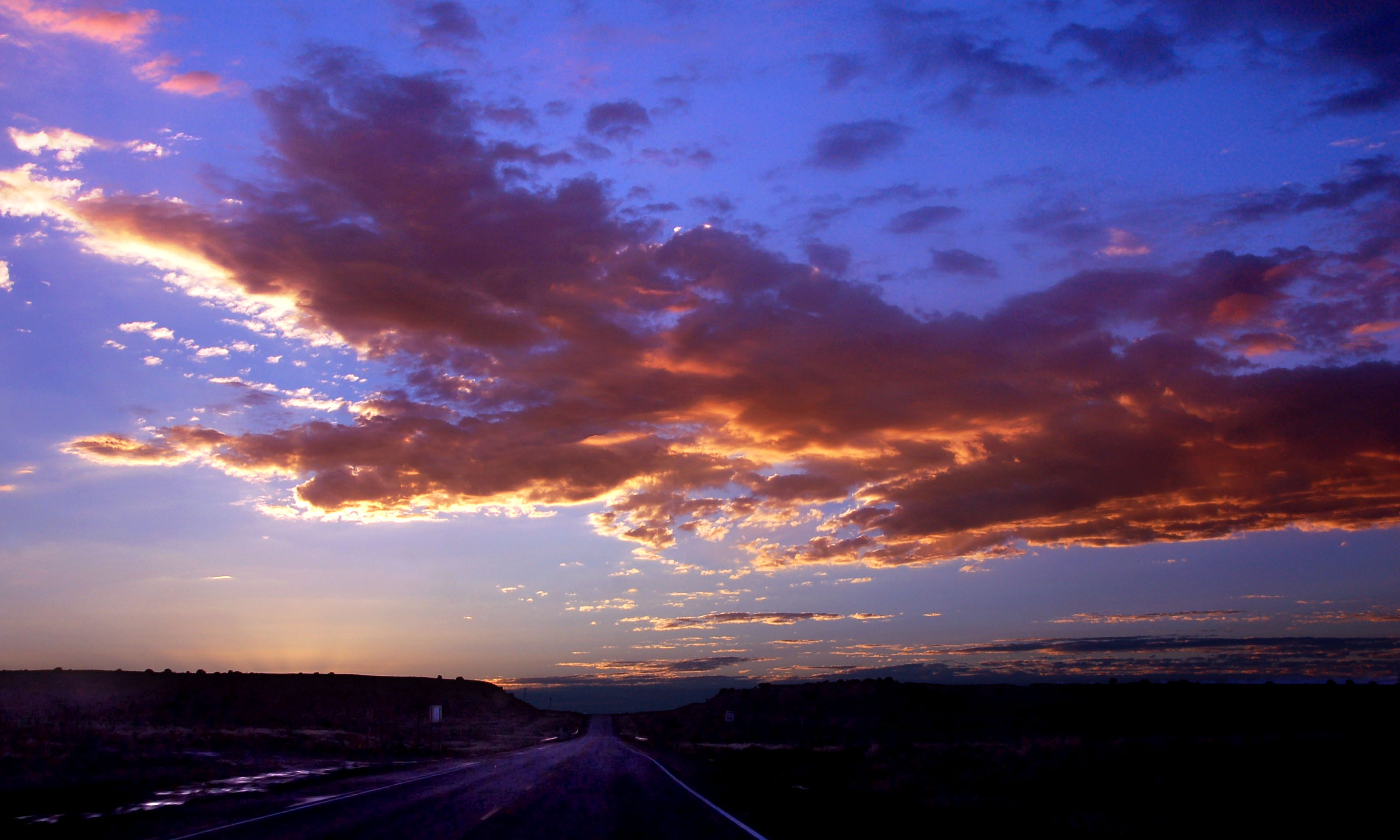
Sunrise on the Devil’s Highway.
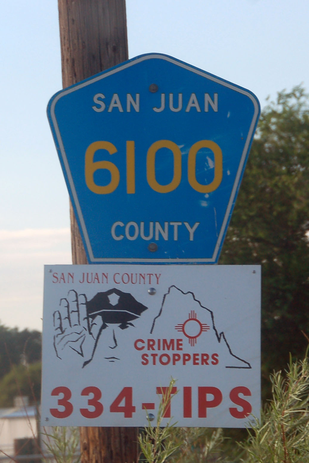
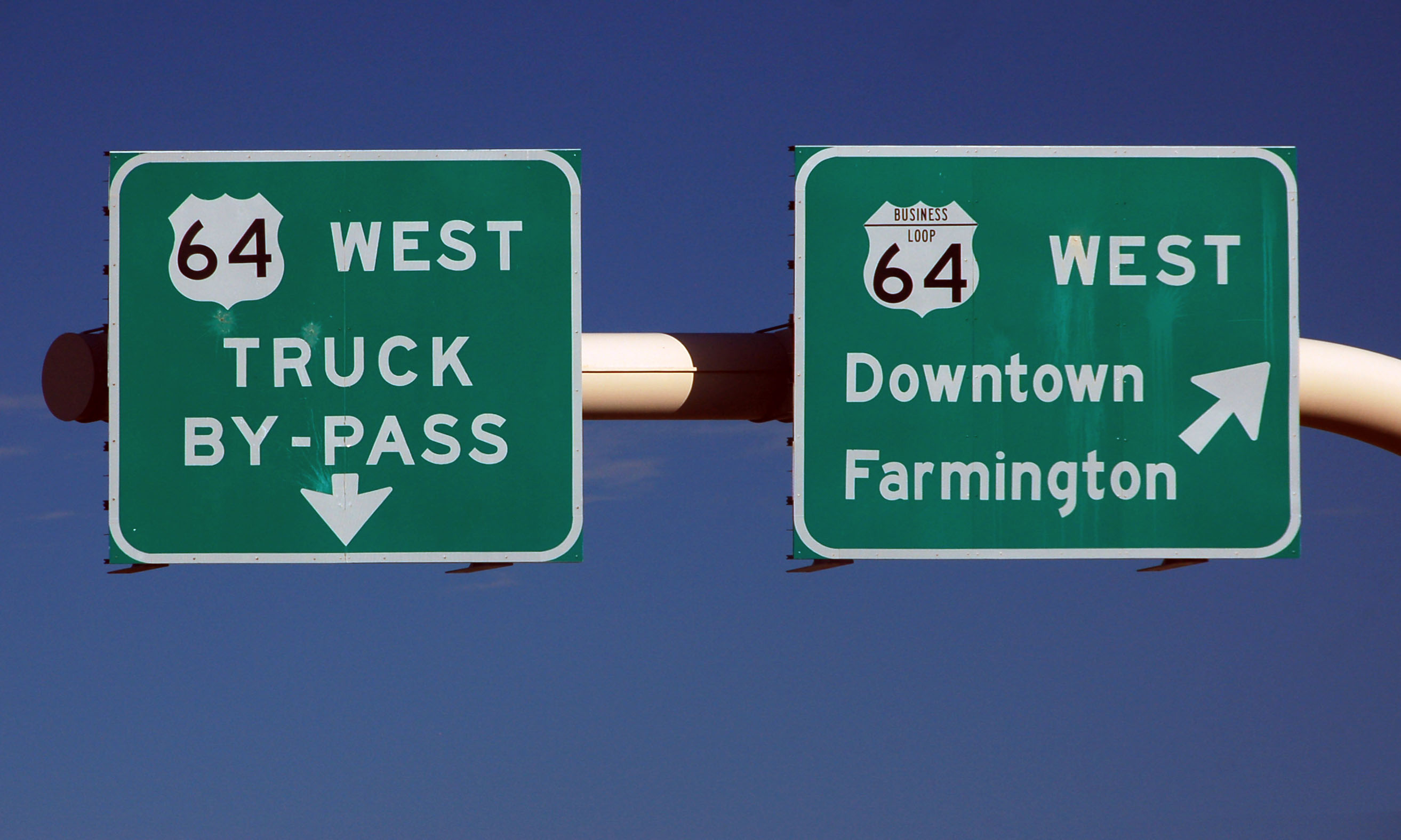
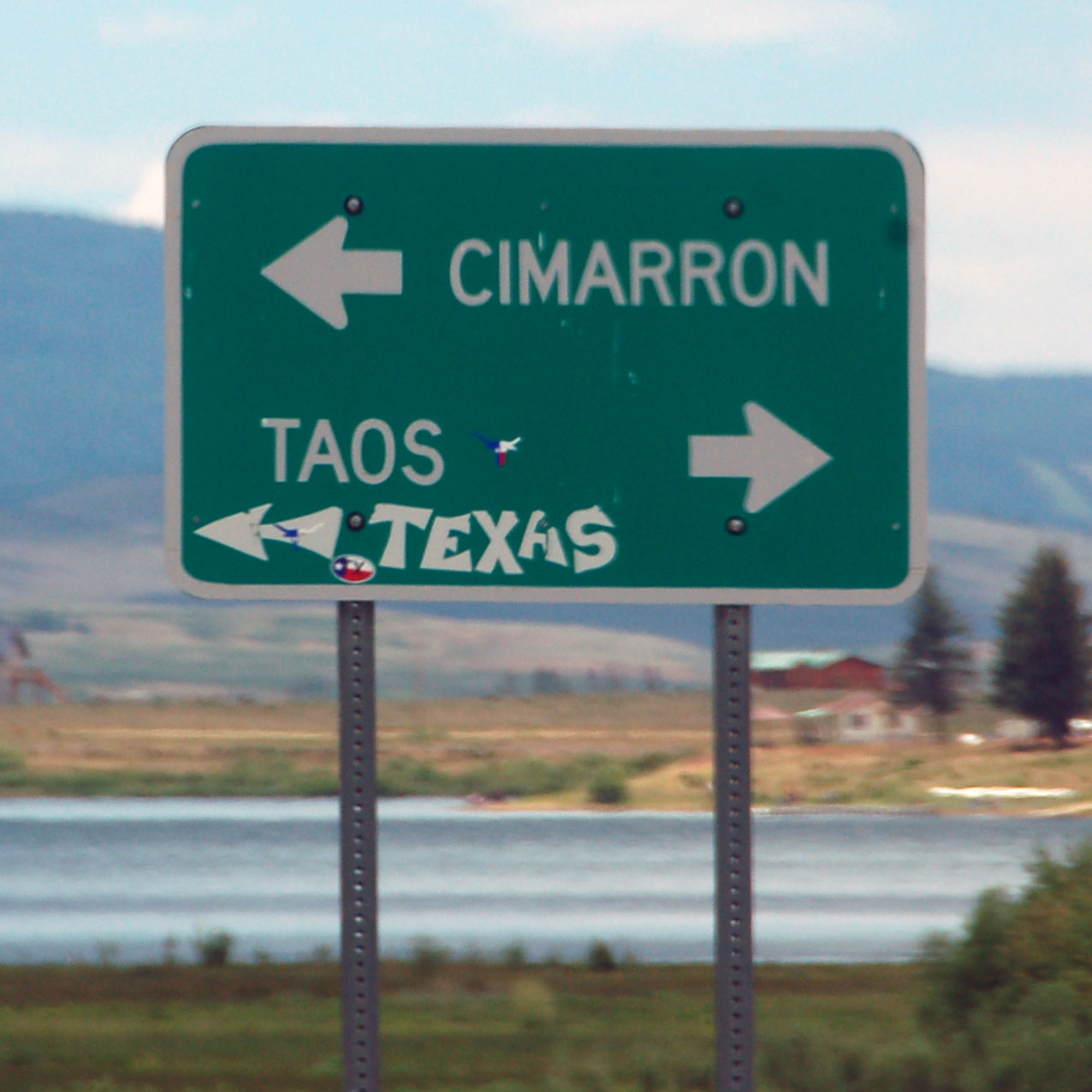
This font appears all over the county. 6100 is an old US-64 alignment. We’ll be taking US-64 from 666 almost all the way across the state!
New Mexico has only a casual and intermittent relationship with standards. There are NEW MEXICO/US shields of this style elsewhere in the state.
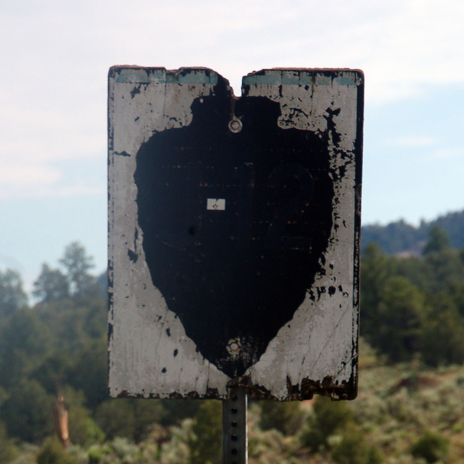
At some point in its life, this sign clearly identified Indian route J-12.
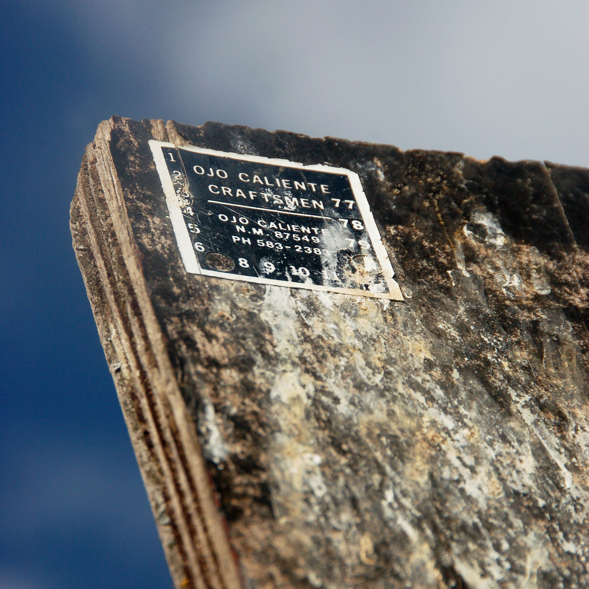
The sign is from 1980.
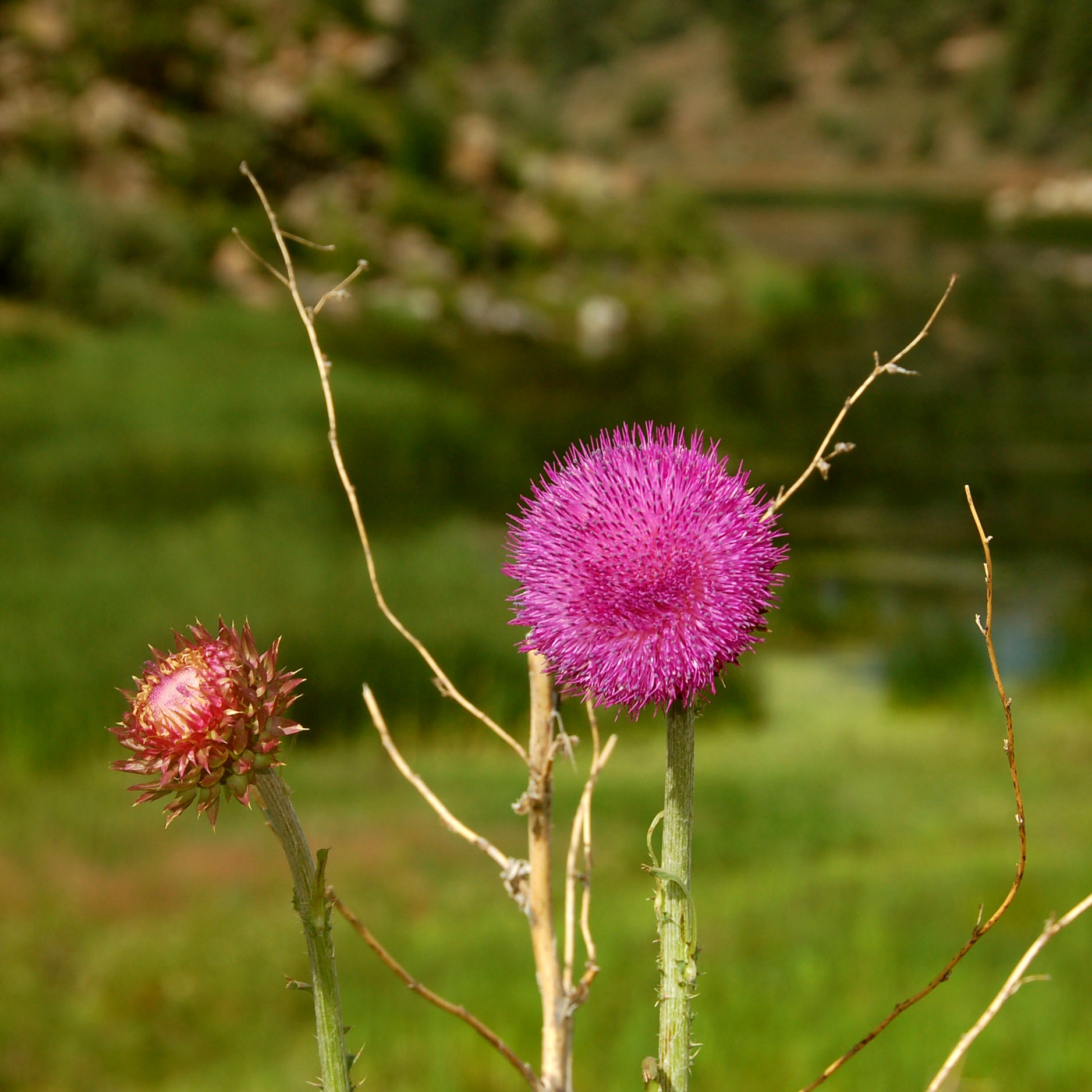
Some thistles.
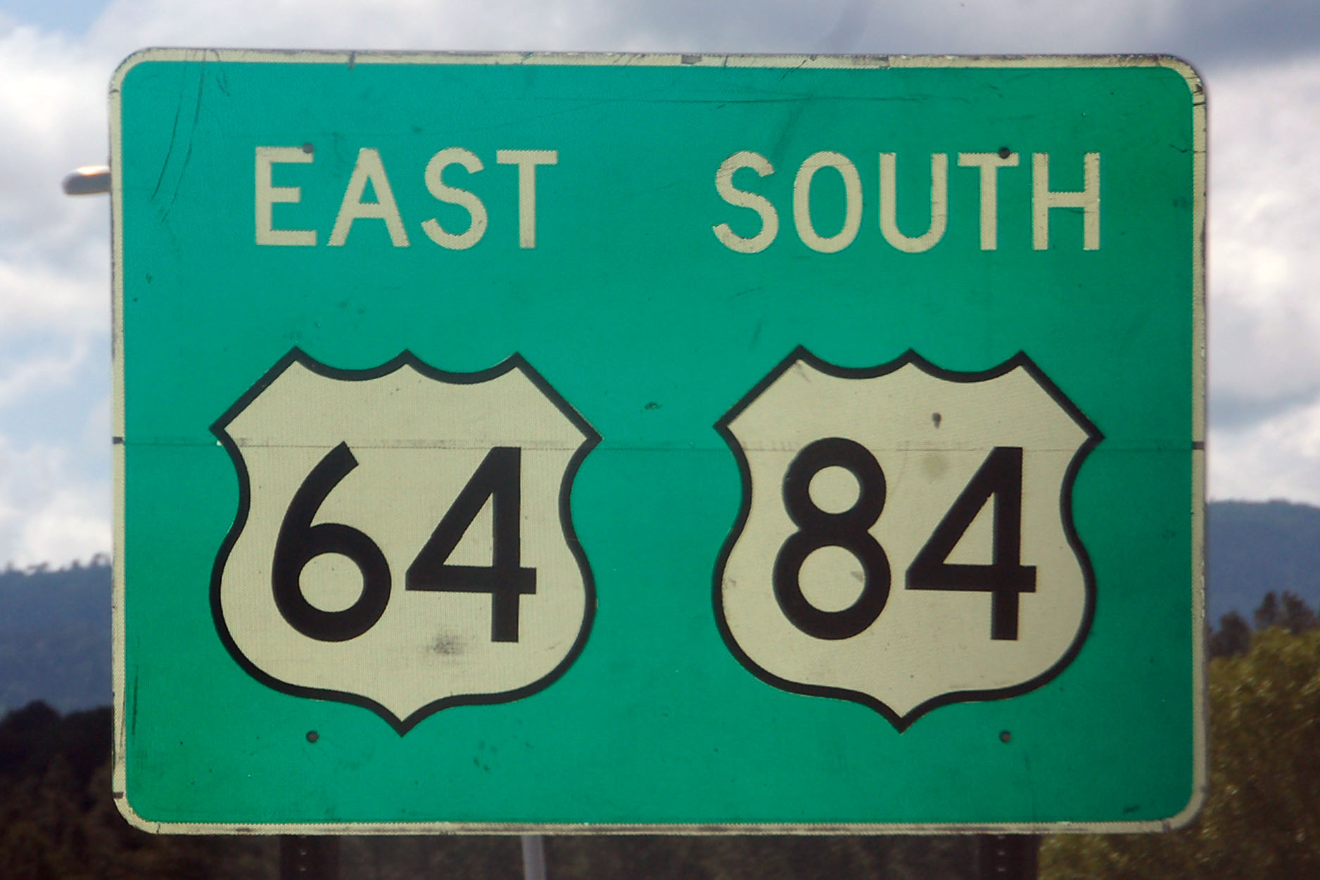
New Mexico likes placing a black outline around shields. They also like putting the incorrect directional banner. Both 64 and 84 are east-west.
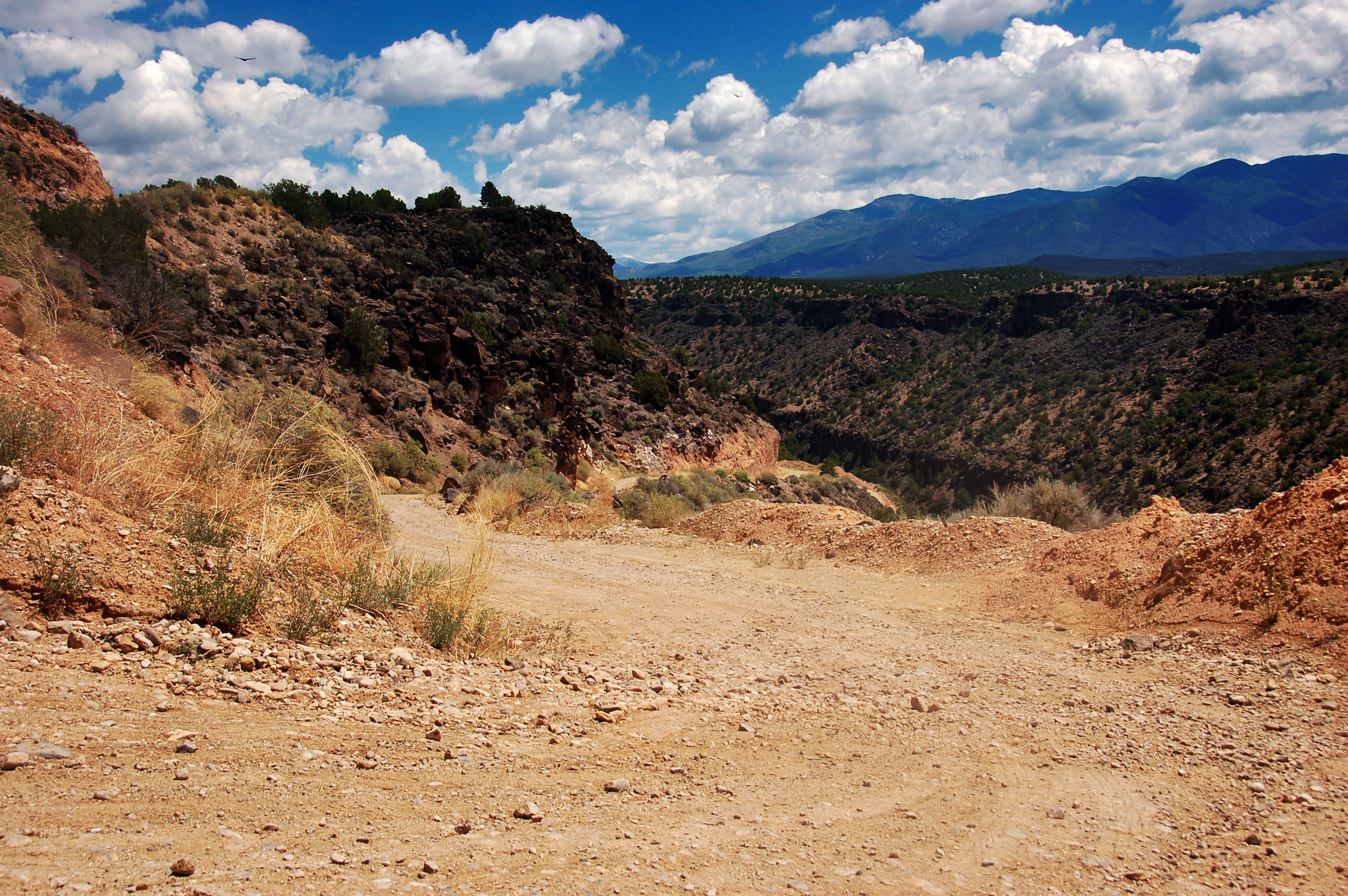
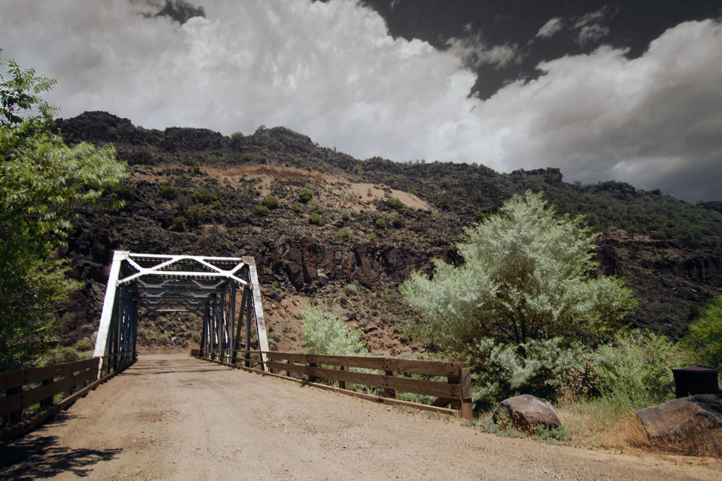
Approaching the old US-64 bridge across the Rio Grande, at Arroyo Hondo. The bridge was built in the 1910s, and the old alignment leading down to the river is very steep and has some sharp switchbacks. However, it is a very good dirt road and is easily traversed in a compact car.
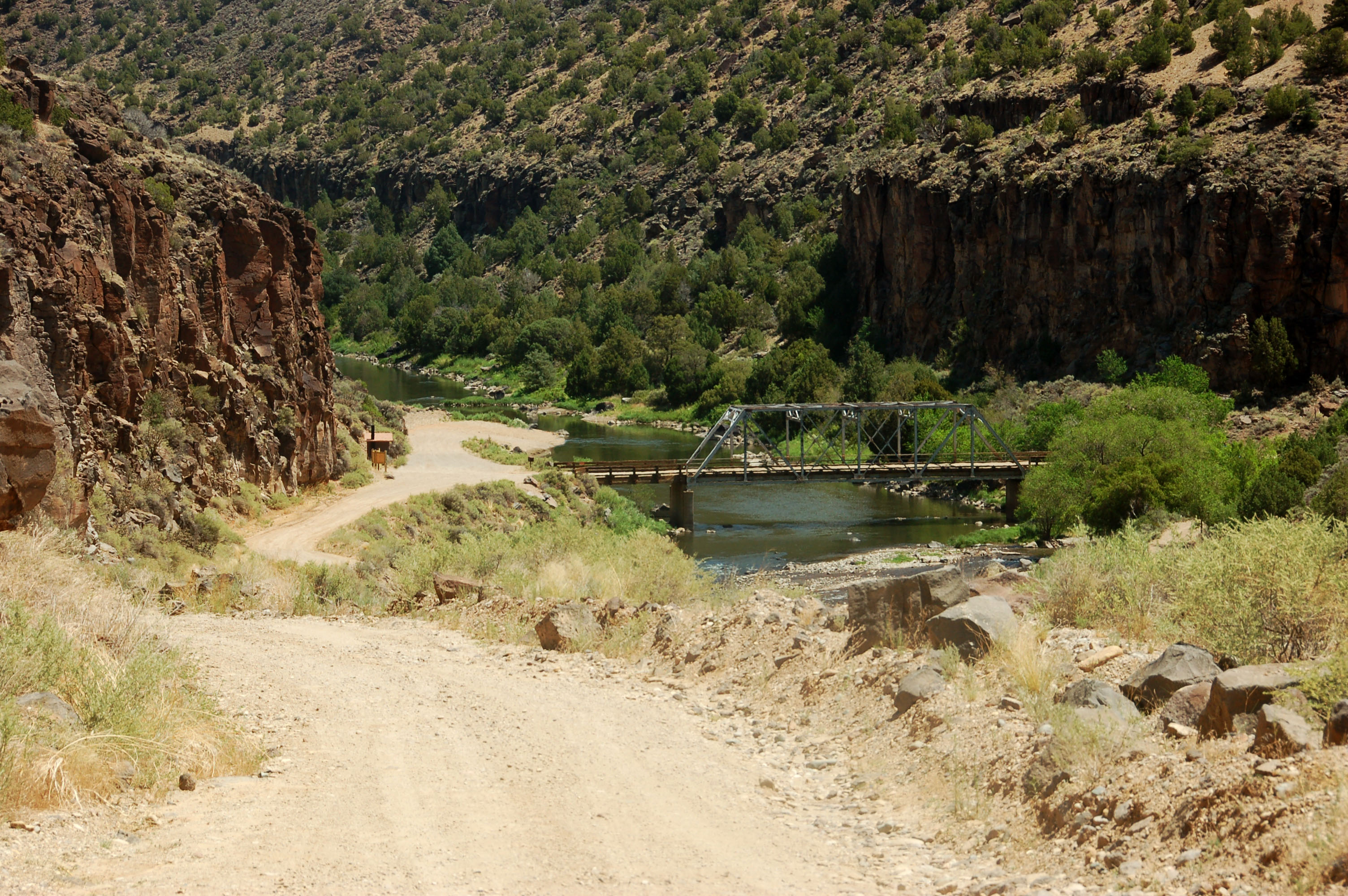
Our first view of the bridge.
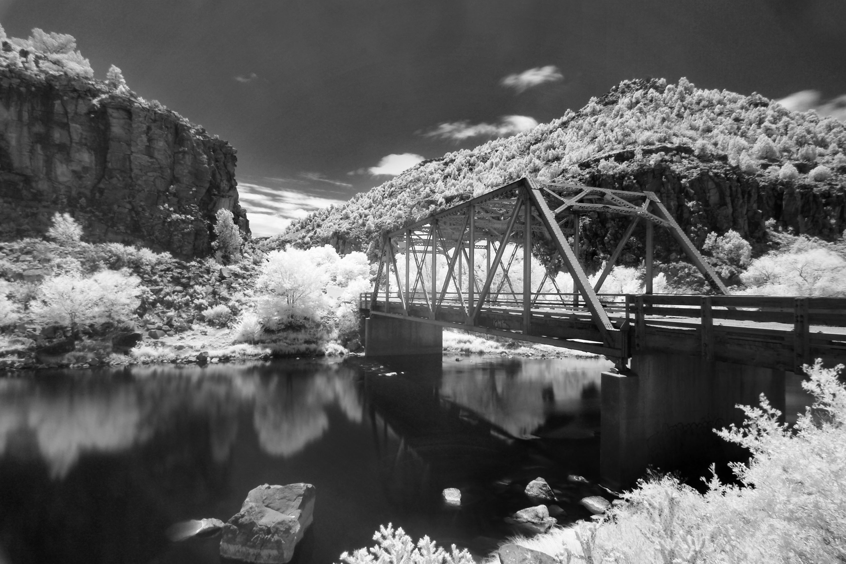
This photo is in infrared, as that’s about the only way one can shoot into the sun like this.
The bridge from the eastern shore. 1920s color postcard effect achieved by overlaying one visible-light and one infrared photo.
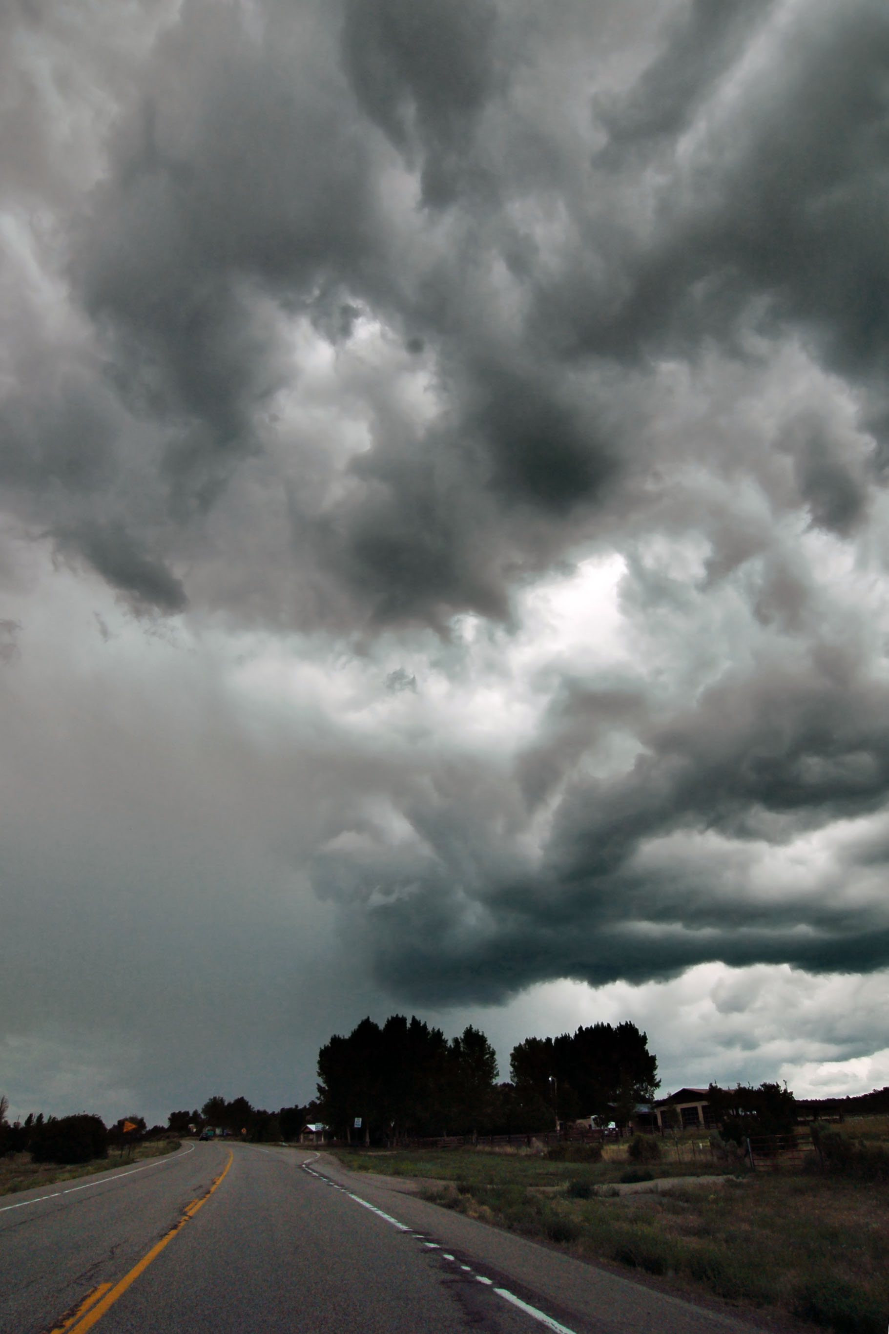
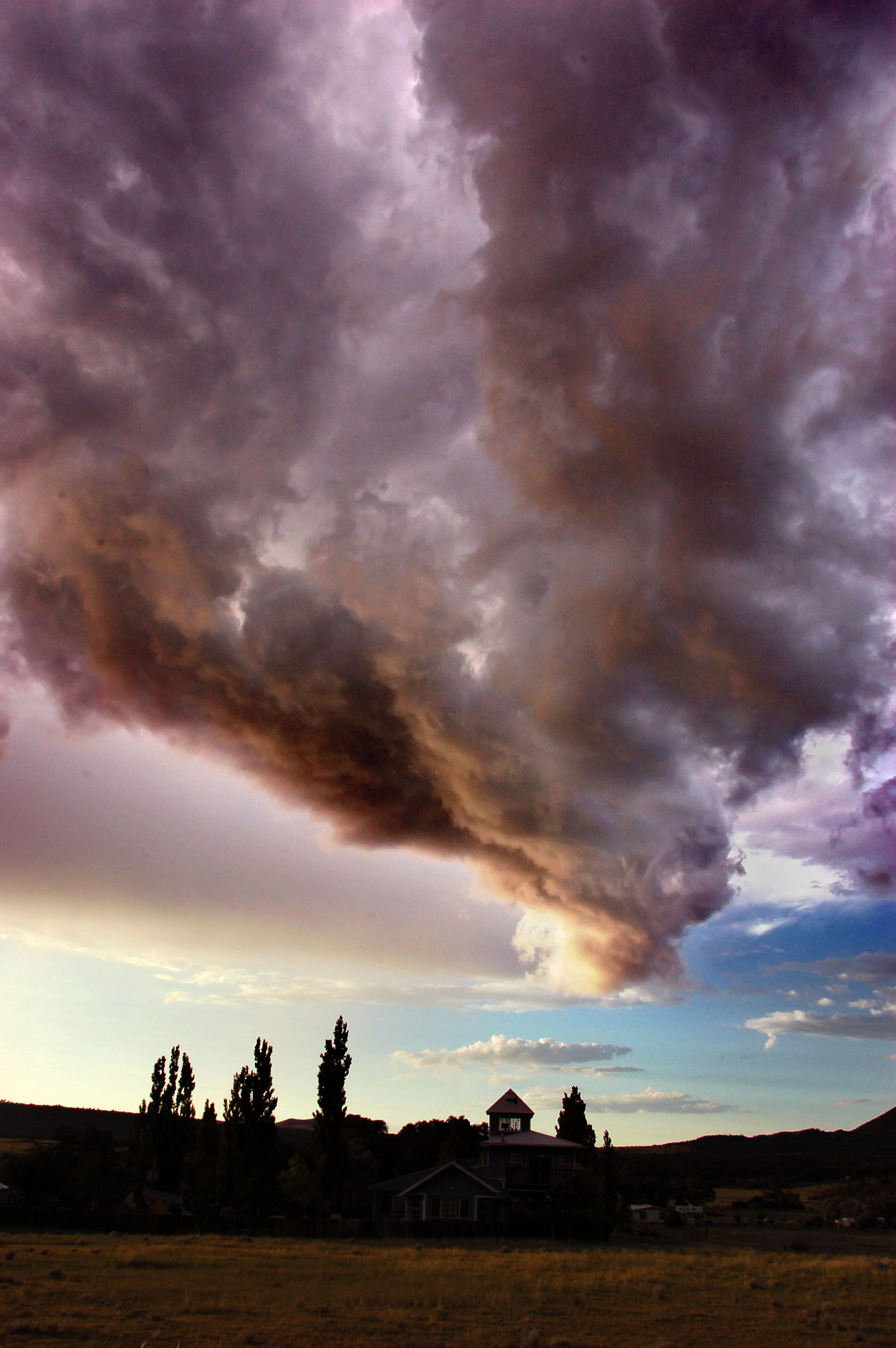
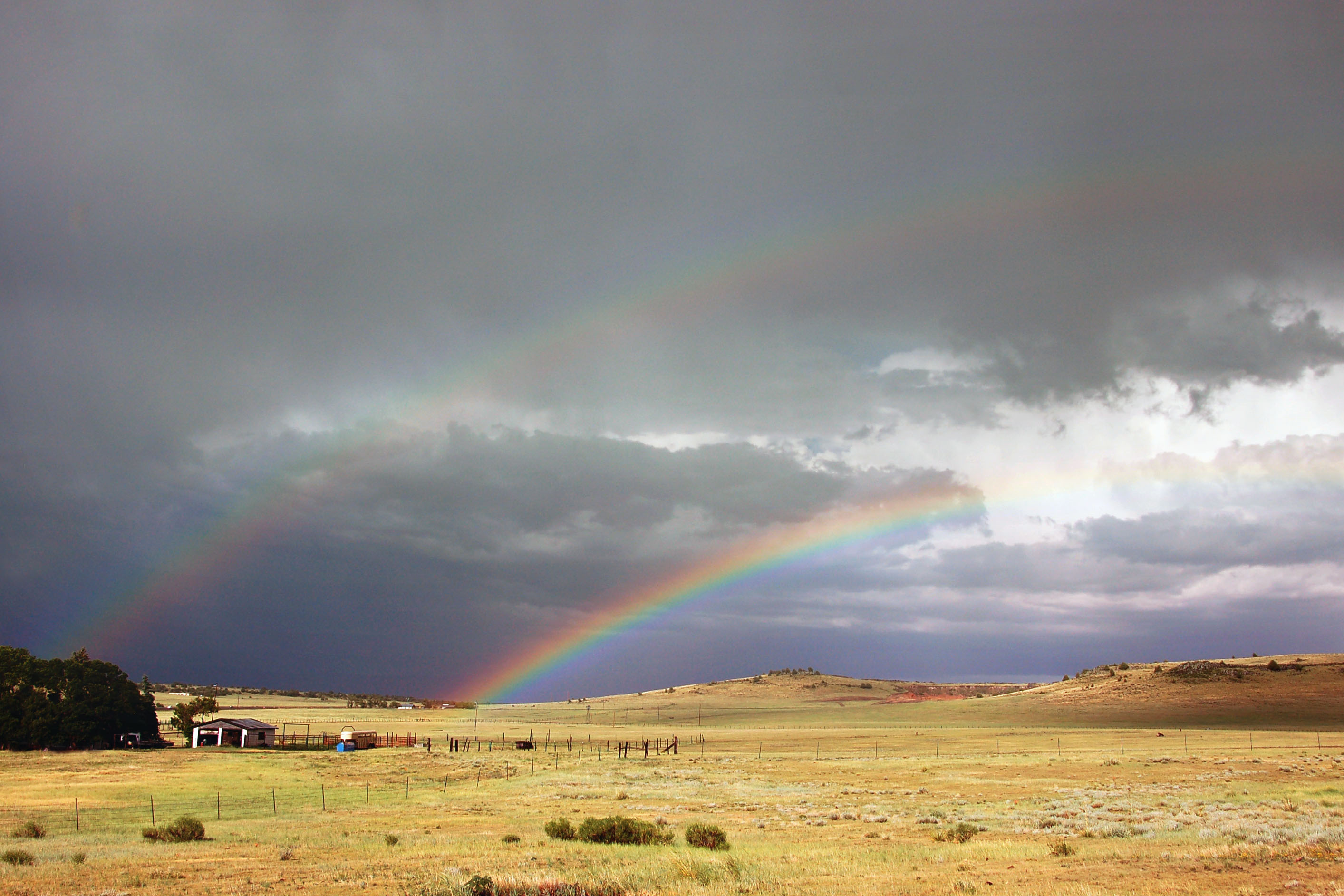
Remember those clouds coming over the canyon from the west? Well, here they are!
The east end of New Mexico state highway 38 features this slightly augmented guide sign.
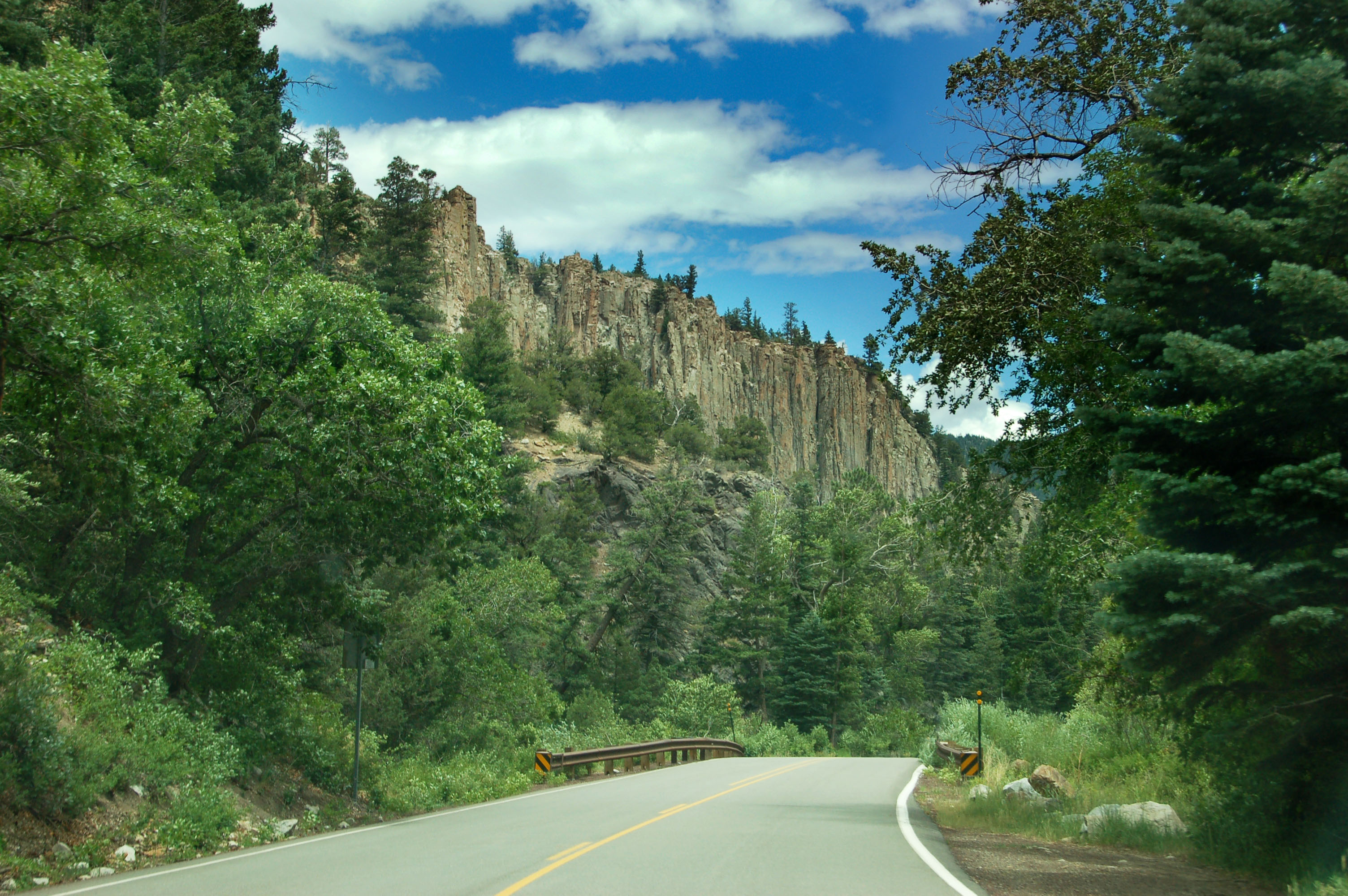
US-64 winds its way through Cimarron Canyon.
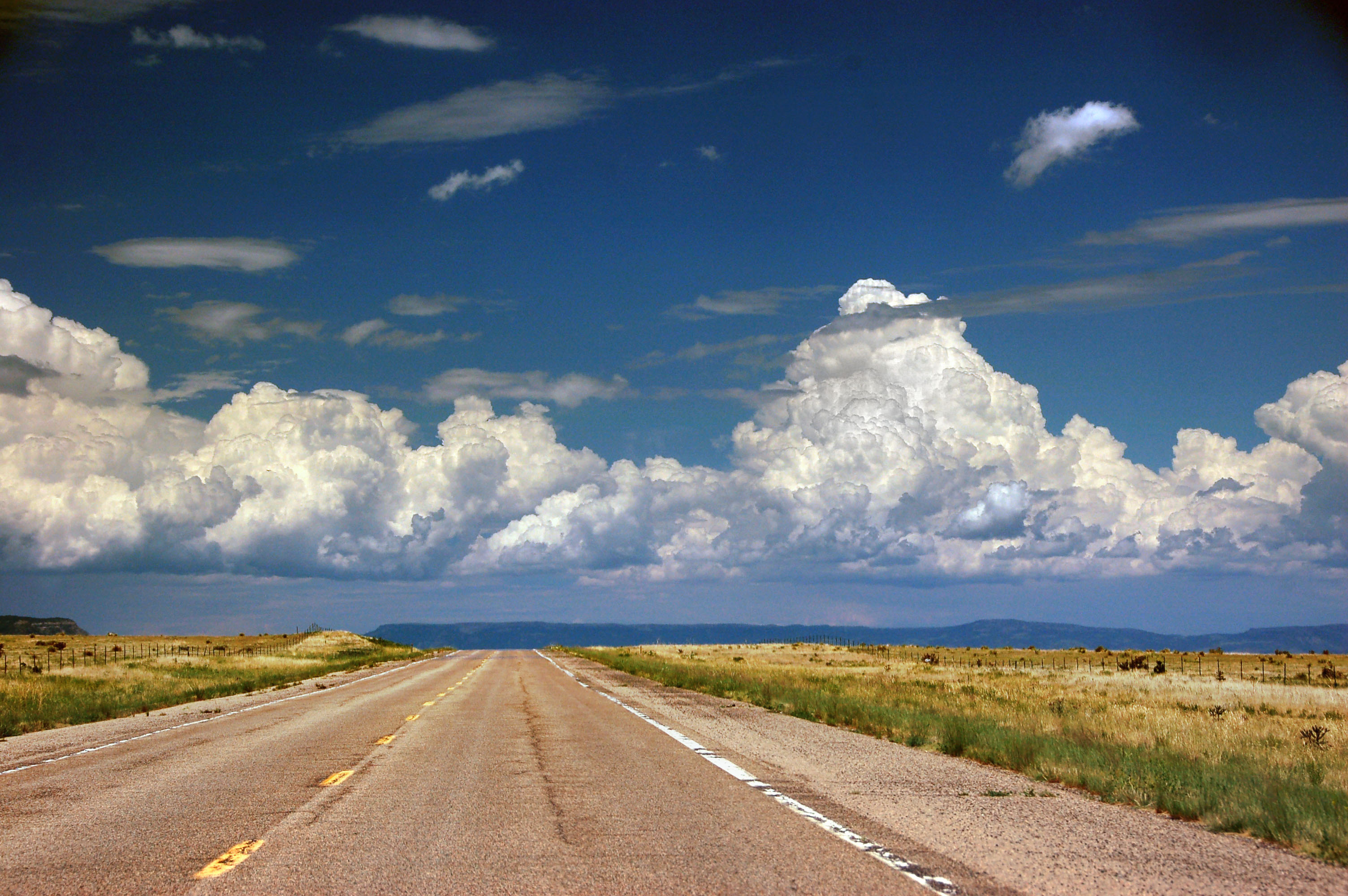
Huge clouds in the distance, as we exit the Rockies.
This is what happens when we get to those clouds. 1178 miles driven in one burst, from 7pm to 3pm the next day!
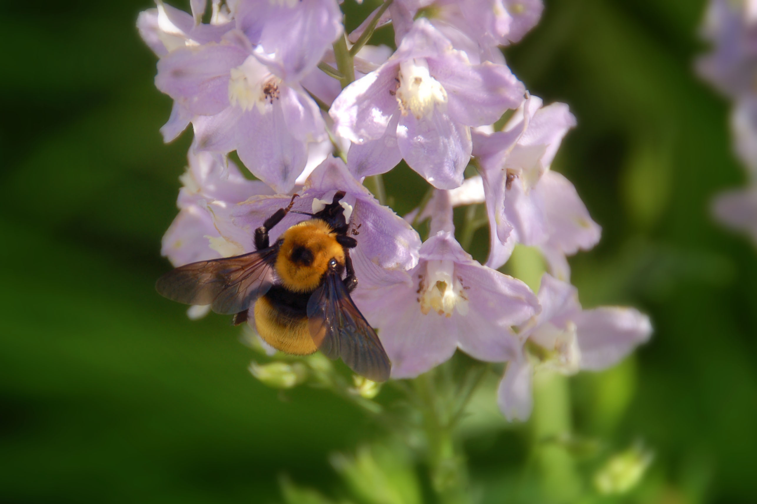
Once the rain clears, the bees come out.
Bumblebees are rarely aggressive when foraging, and it’s easy to get photos of them.

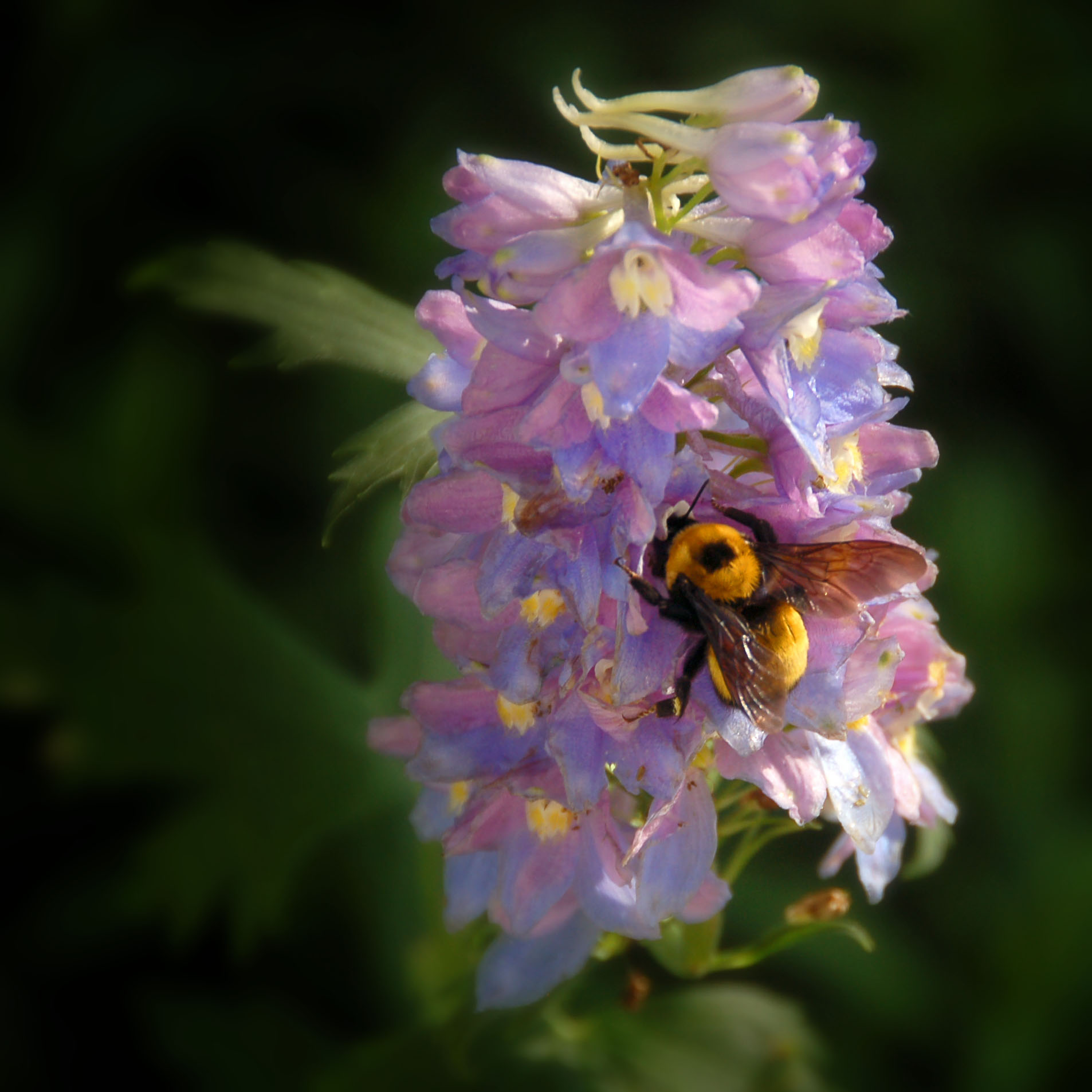
One last bumblebee picture.

A different kind of bee – somewhat less colossal.

A hole in the sky.
And that’s it because sunset photos will be in the next batch!


I really like the Needles/Daggett sign capture — well done.
If NM actively eradicated the 666 signs, then why are they now placing Fmr 666 signs?
That’s a great bridge over the Rio Grande.
there is only that one Former 666 sign, and yes I agree that its purpose is a bit counterproductive!
Delightful to look at and read about. You take great photos :) Road signs, bees, and US 666 4 ever!
From New Mexico’s viewpoint, U.S. 84 in that area is a north-south route, with mile 0 being where it leaves U.S. 60 at Fort Sumner. While it is concurrent with U.S. 60 or 70 from there east to the Texas border, as a subordinate route its mileage is not logged. Those mileposts are reflected in the exit numbers on the U.S. 84-285 freeway near Santa Fe, where 84 is the dominant route. I haven’t looked to see what directionality Colorado assigns 84.