
not featuring any photos from Union County – this was the return trip of over 1200 miles, in time to even show up to work in mid-afternoon!
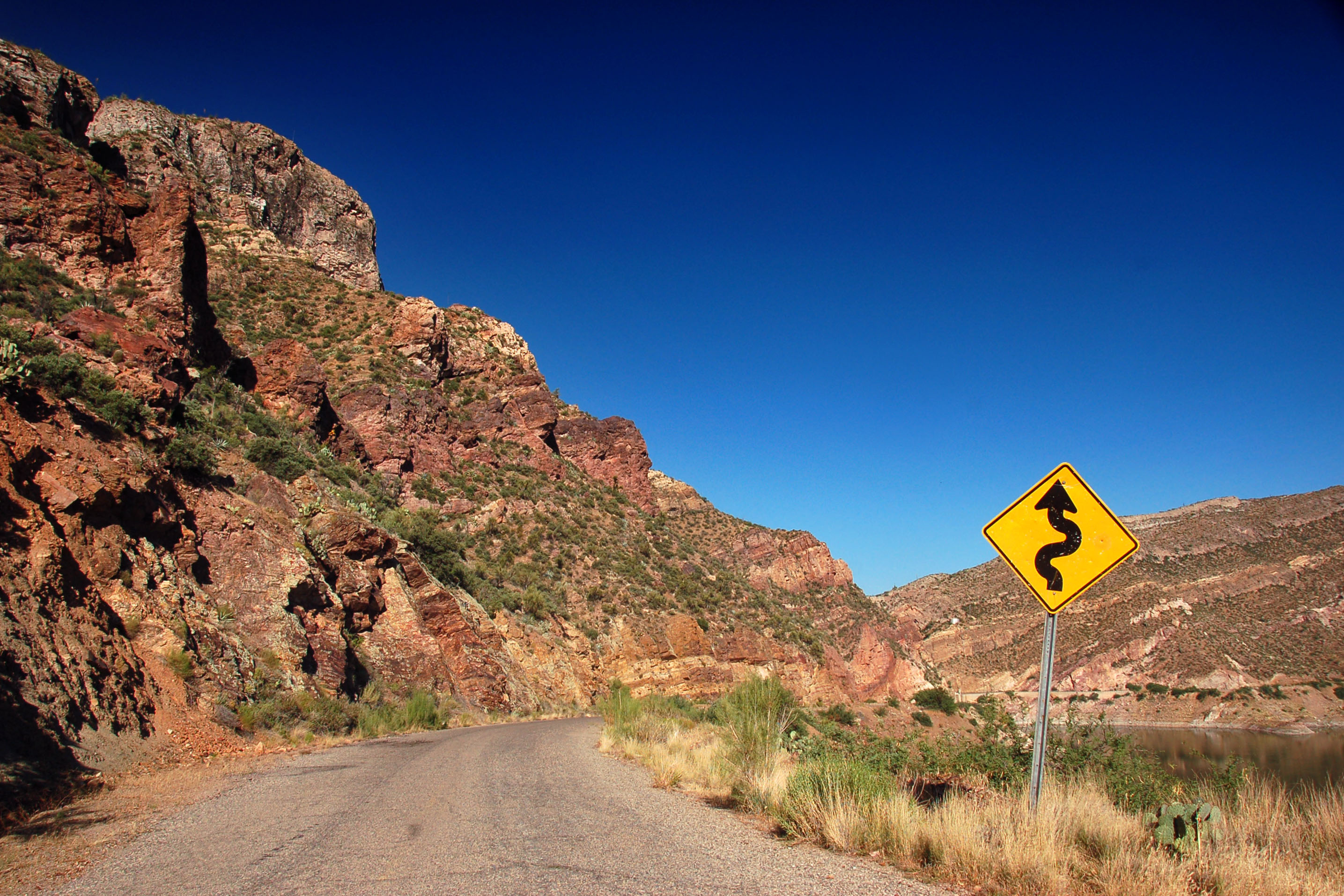
We are on an old US-70 alignment, and here is the obligatory photo of the curves warning sign with the treacherous mountains in the background.
a sloppy-looking shield on I-25, but – what’s this?? – it has “US” above the number? New Mexico really pulled out an old standard specification to manufacture this sign.
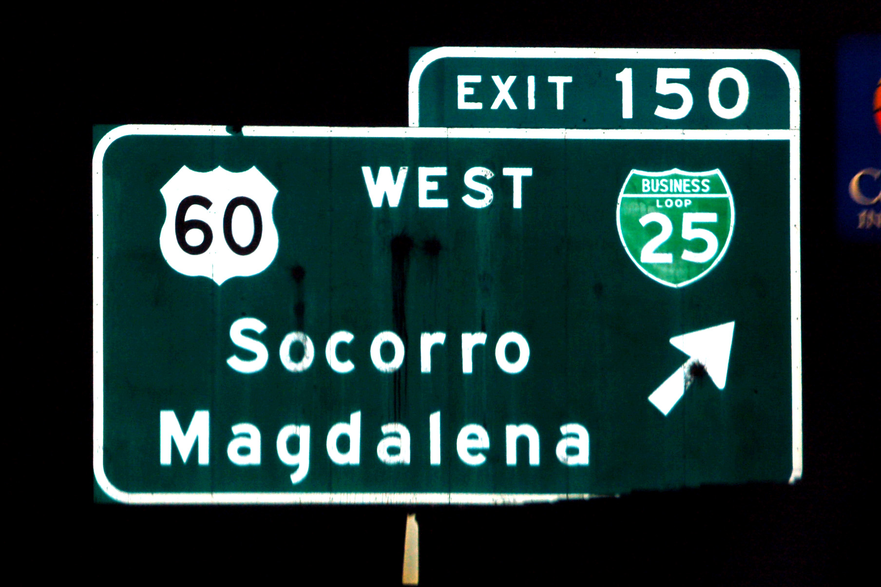
Speaking of old, check out these classic 1960s fonts on this sign. It is more than likely that the sign does not date back that far, but this is New Mexico for ya – the first spec on the shelf that they find that vaguely covers the needed project, they will use.
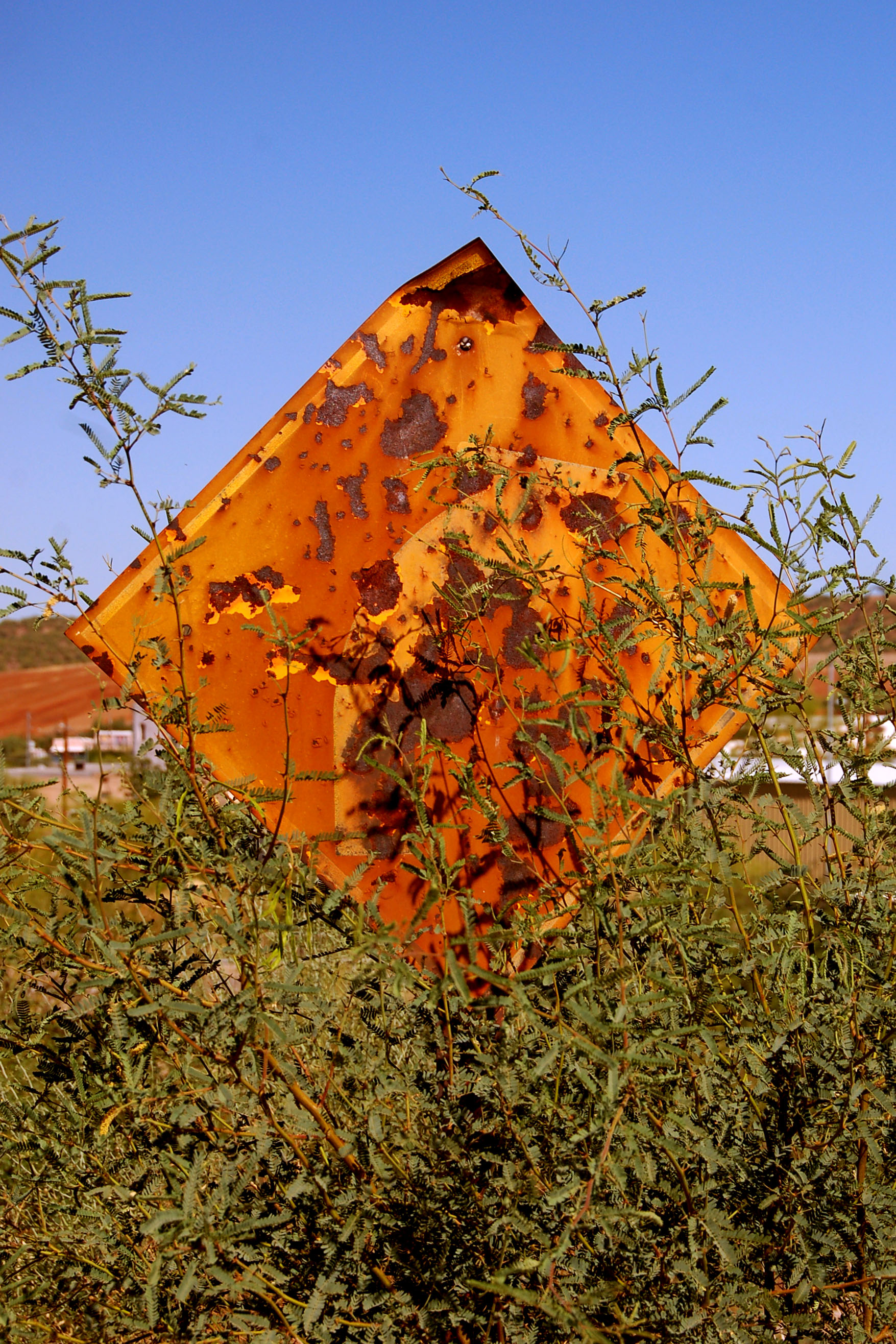
This is an extremely faded sign. It may help to illustrate the point to note that at one time one of the primary colors of this sign was blue.
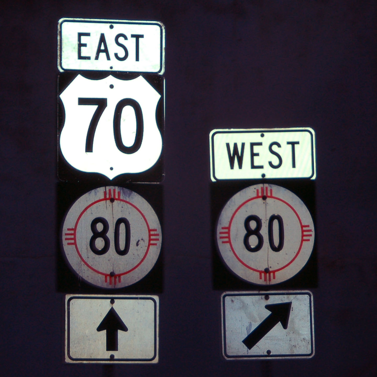
What, route 80 at route 70?? Lordsburg. New Mexico 80 is old US-80, but the independent routing was supposed to end many miles west, before 80 joined 70 as a multiplex all the way to Las Cruces, and then split off as an 80/85 multiplex. The fact that 80 was multiplexed with US-70, I-10, and then I-20 all the way to Dallas explains its decommissioning west of there.
US-80 was removed and the independent sections became NM-80 and AZ-80 – but significantly west of here. Suffice it to say, these signs should not exist, but here they are!
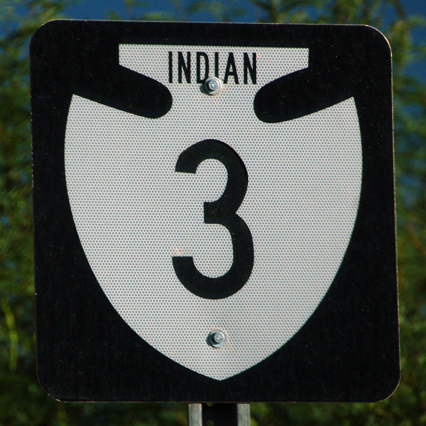
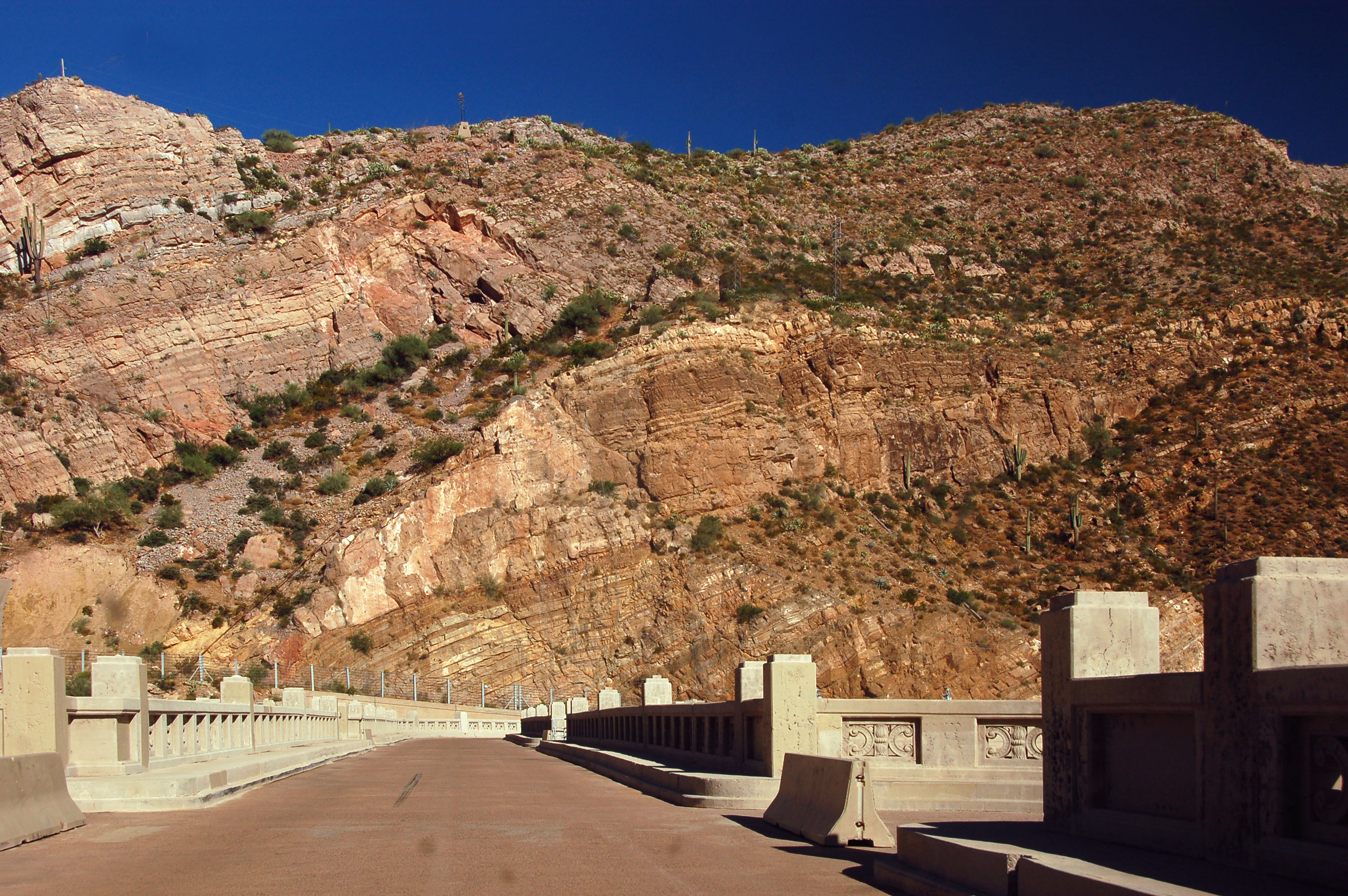
Indian Route 3 is the old US-70 alignment we will explore.
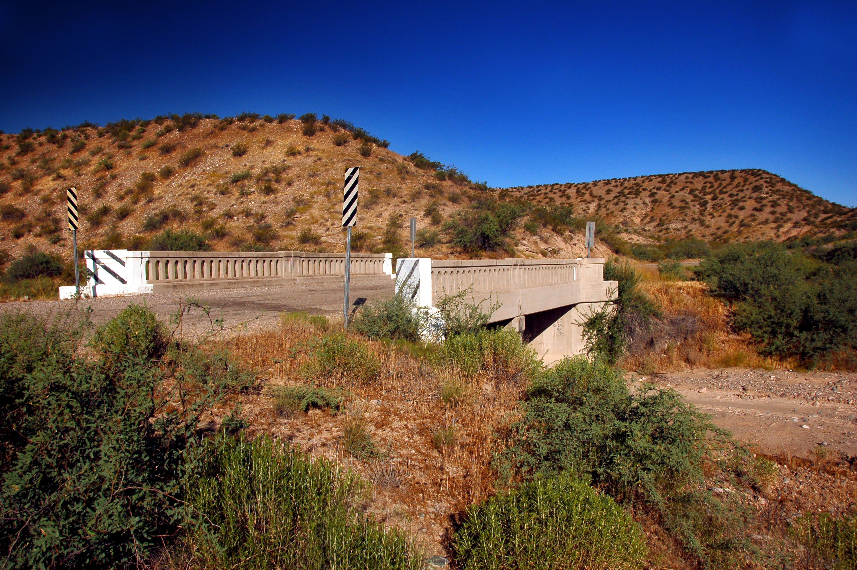
Not just any old alignment, but the very first alignment – check out the original 1920s bridges (at least 10 of them by my count) on this road!
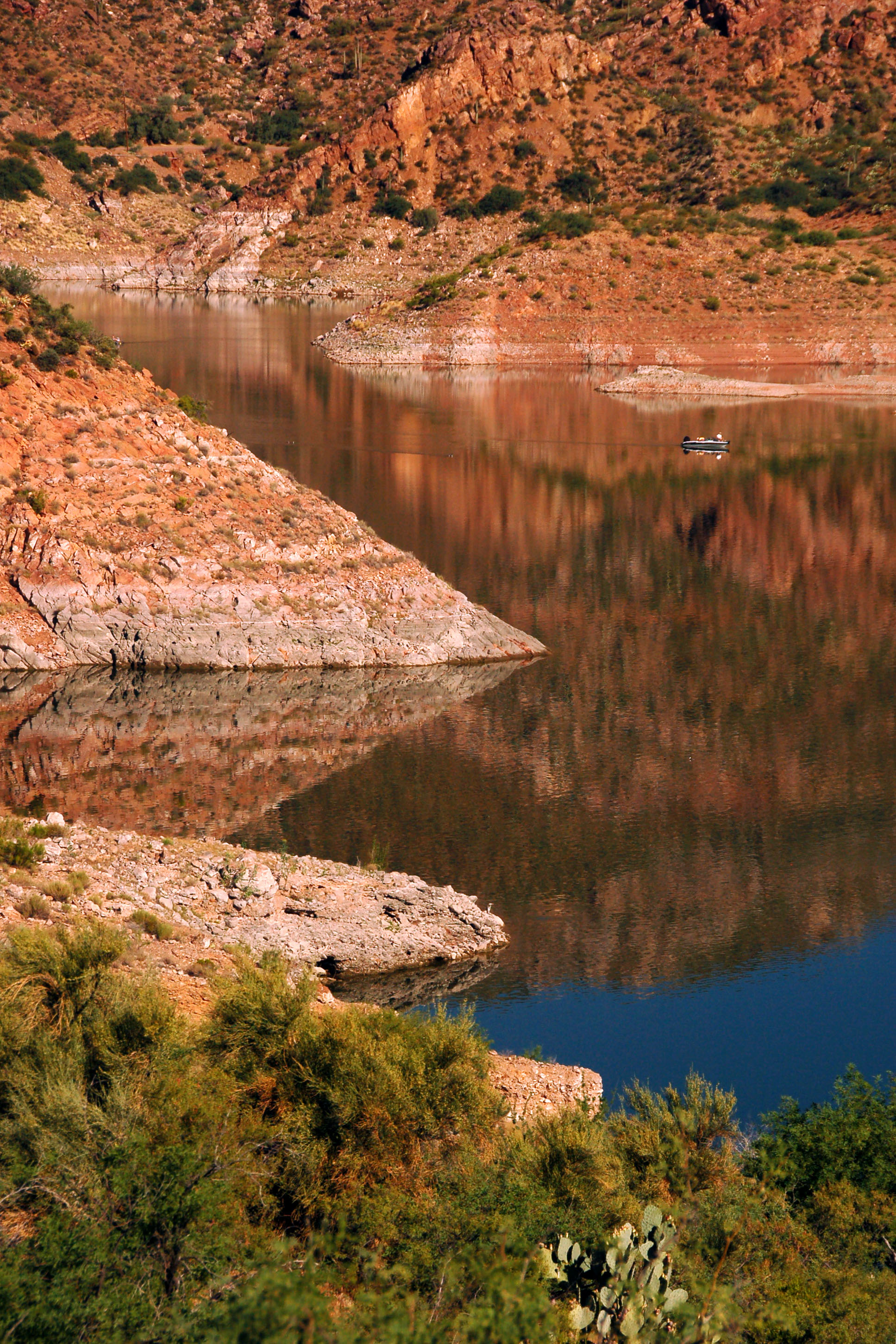
Small boat. Large rocks.
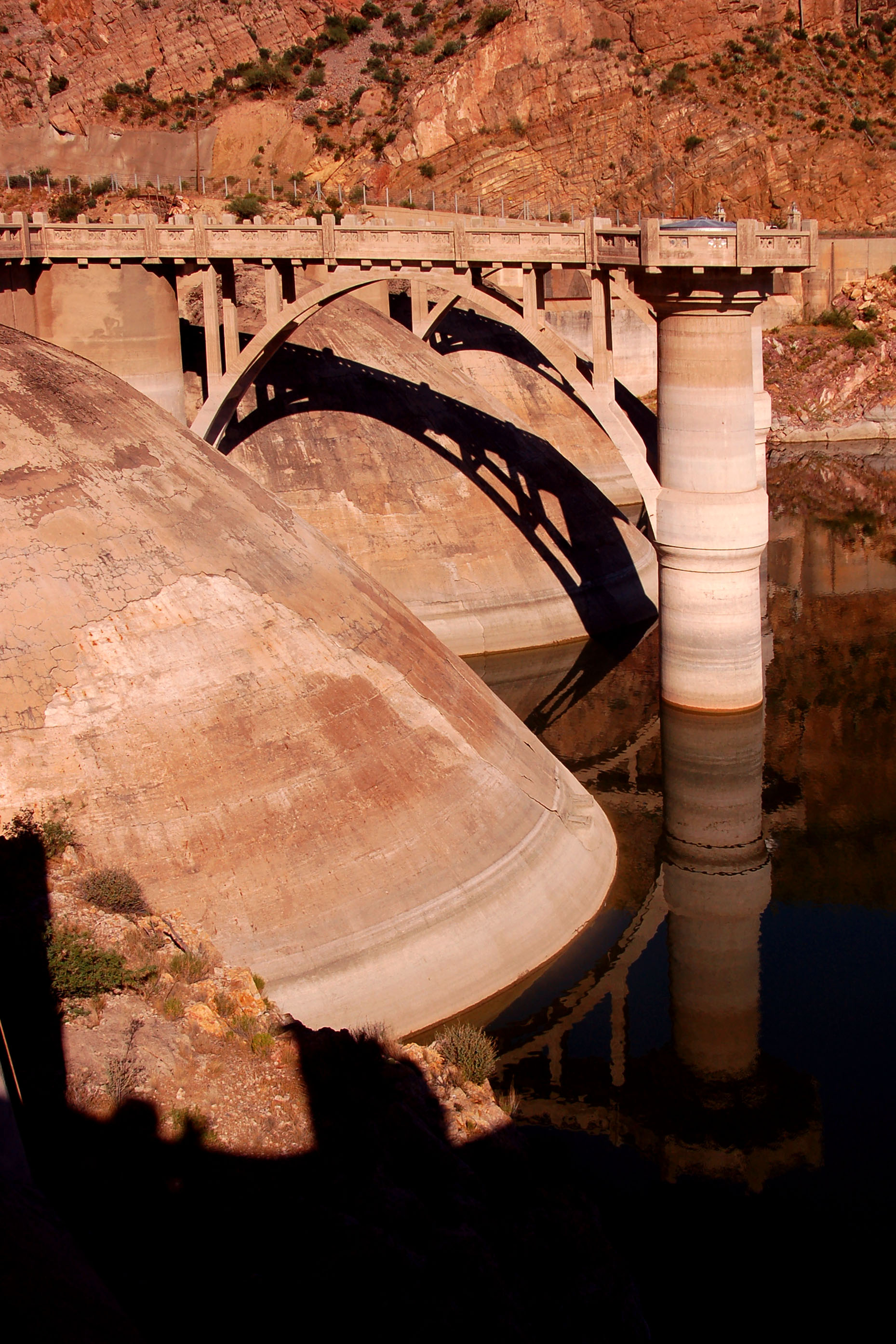
Coolidge Dam. Eastern Arizona. Old US-70. Unlike the Hoover Dam to the southwest, here there are no Department of Homeland Security stooges getting stern-facedly involved, and you can take photos to your heart’s desire.
Crossing the dam on old US-70 – yep, the road is built right across the top of it!
Indian 3, after the dam, cuts across to current 70 on a stretch of road that was never the old highway. The western half of old US-70 is buried.
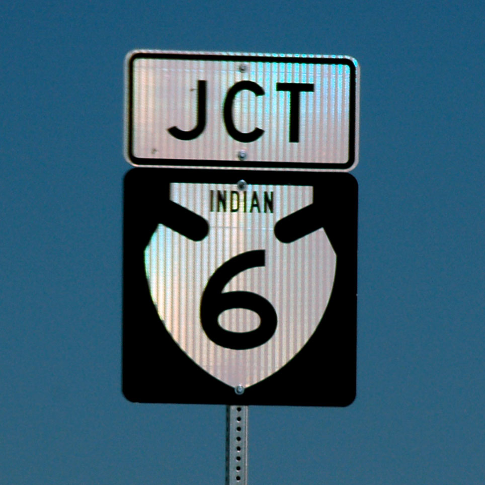
Back on current 70 – here is the brand new Prismatic High Intensity junction marker with Indian 6. I leave it as an exercise to the reader to determine why this new brand of sheeting is called “prismatic”!
Somewhere in there is an arrow. A 1950s sign, left on an old US-60 alignment not too far east of Phoenix.
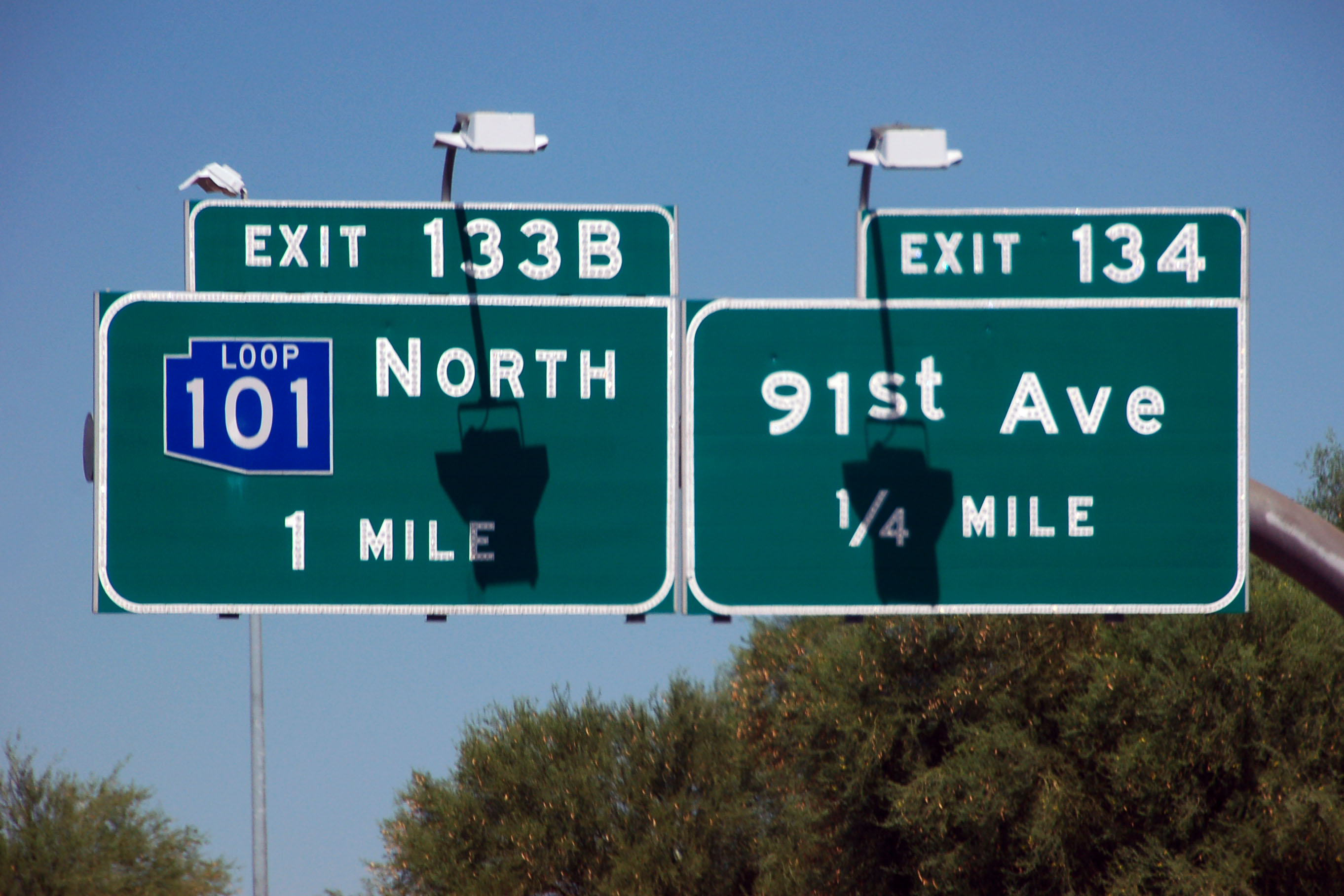
Heading into Phoenix proper now – these blue Loop 101 shields date to between 1989 and 2002, and nowadays are getting harder and harder to find. Arizona colored loops 101, 202, and 303, but then found out that they faded far faster than black and white shields – and did not receive federal funding for their signs. A great idea, too bad on the implementation.
Loop 303 is black, and those shields last quite a while. It’s loop 202 (green – and I did not see an example on this trip) that really faded far too fast and doomed the program.
One of the very few button-copy interstate shields left in Arizona. US and state route shields went away from button copy years ago, but there are a few interstate markers left with this standard. There is another one on I-40 indicating I-17, and those are the two I can think of offhand.
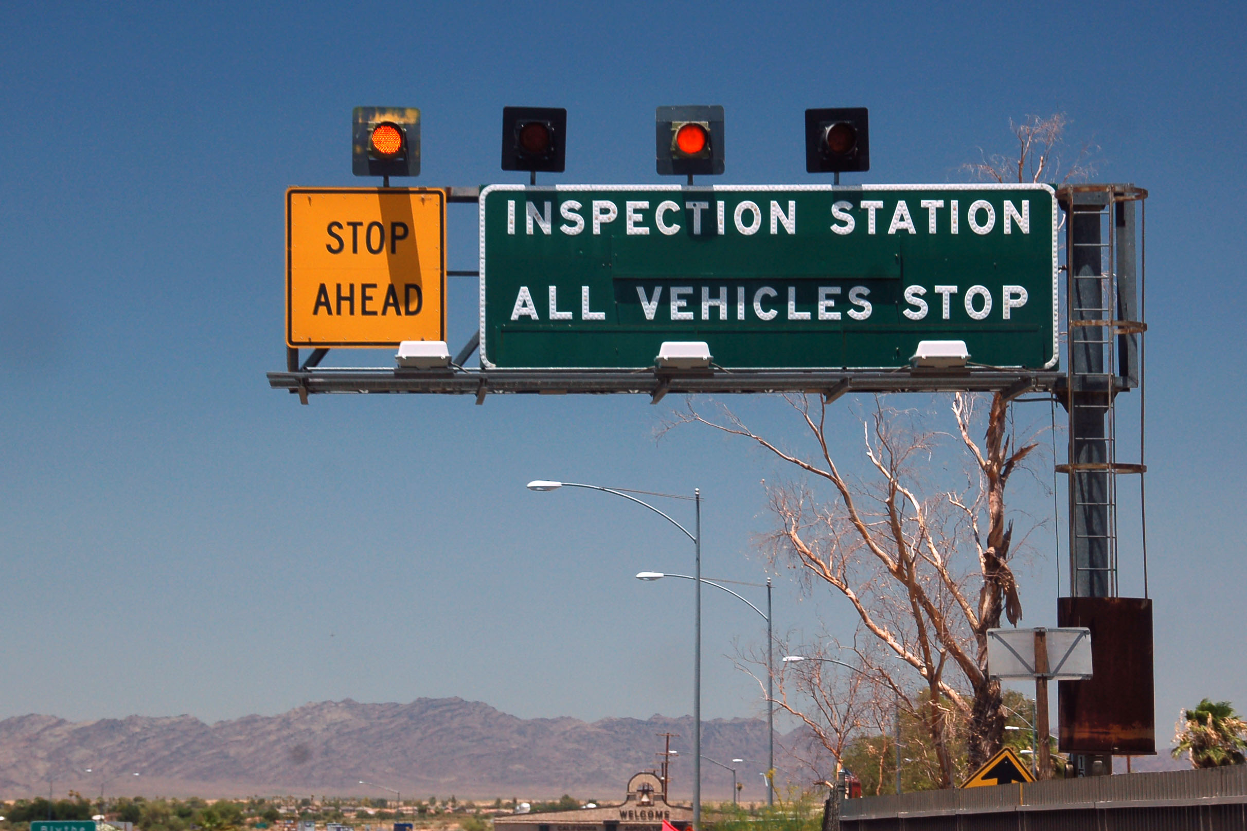
Welcome to California. An agricultural checkpoint, which is, these days, little more than a front for the Border Patrol to keep an eye on activity. Yes, on interstate 10, it is the aggie folks that ask the questions – and the border patrol who stand in the shadows, taking down license plate numbers.
that said – given my latest several experiences (which I will elaborate on when I post my El Paso and San Felipe trip photos), it seems the border patrol is getting to be more and more professional, and the agricultural folks more and more arbitrary in enforcing the regulations.
It’s a strange day in American history when the usual bugaboo, the border patrol internal checkpoint, for once grows reasonable and acknowledges its Constitutional bounds, develops a new sense of courtesy to break away from its previous fear-based “OMG 911” agenda, and simultaneously re-invents itself as a more effective crime prevention agent…
meanwhile, sensing the power-vacuum, the good old-fashioned “Okies Keep Out” agency rises to fill the necessity of anti-social behavior.
strange days indeed.
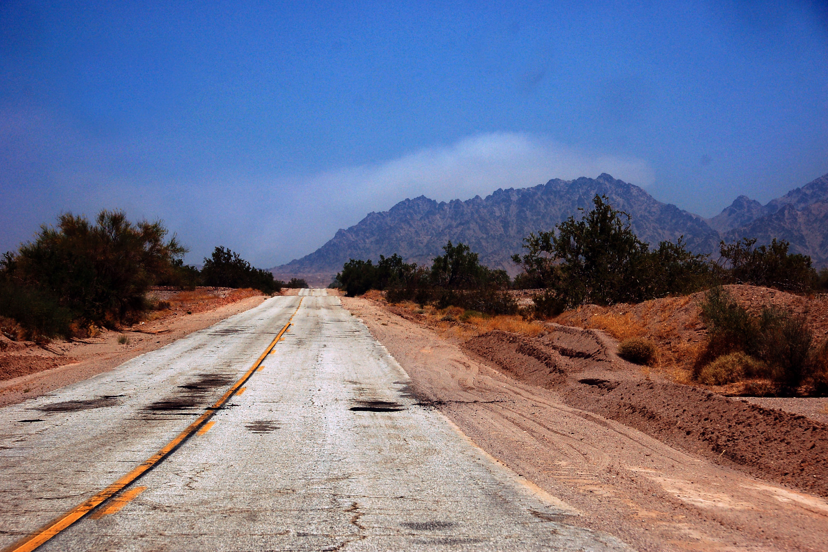
Safely in California, and heading down highway 78 to county route S-34, which will connect us to interstate 8 and take us back home to San Diego.
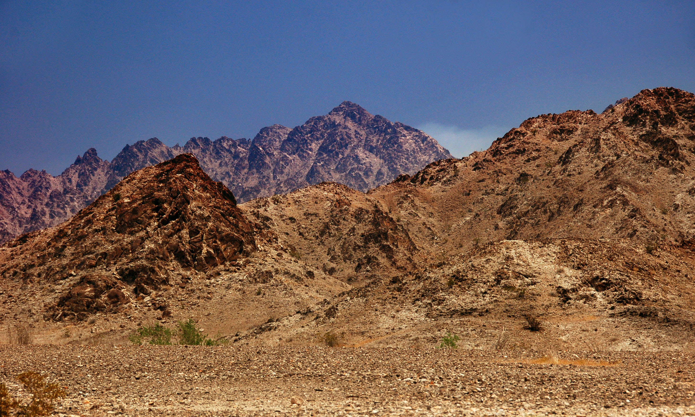
The Chocolate Mountains, as viewed from S-34.
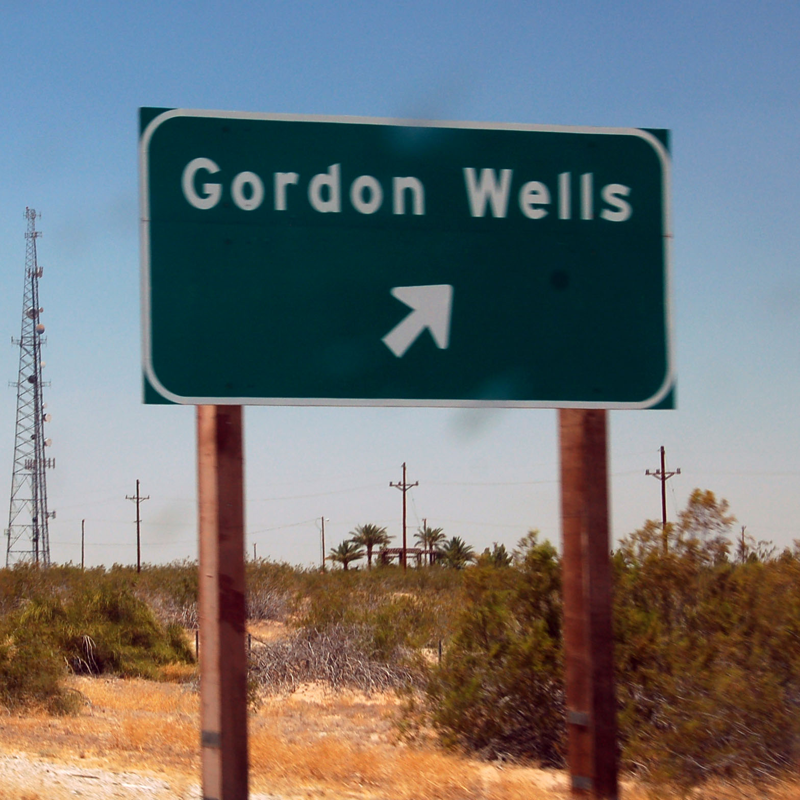
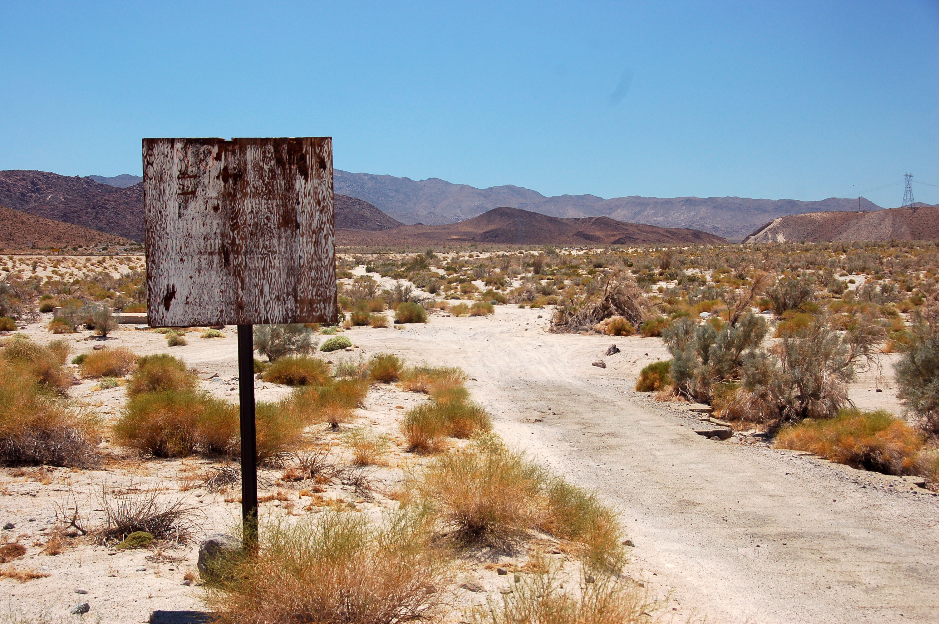
The danger of new signage. The old signs – dating back to the 1910s – correctly identified this location as Gordon’s Well.
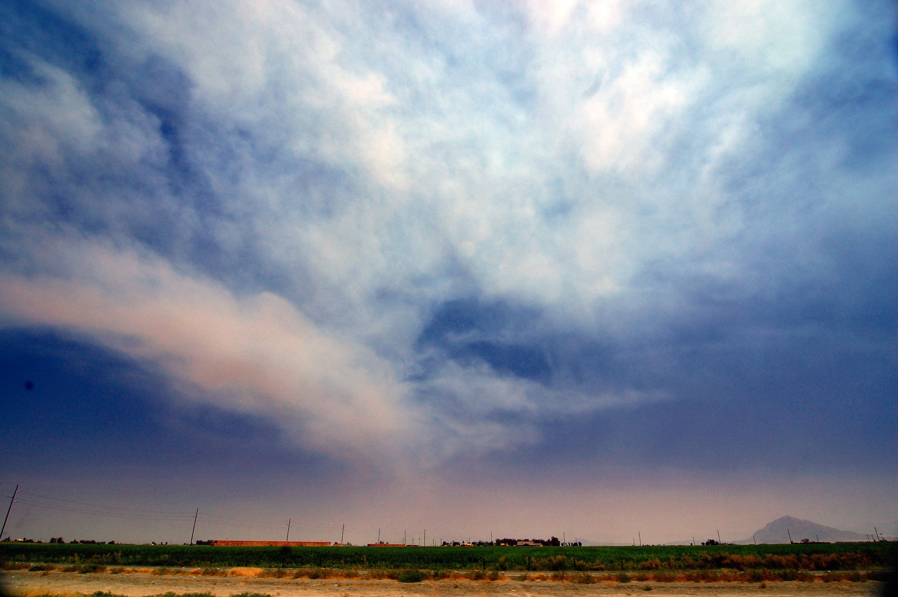
Smoke in the sky. The regular burning of crops.
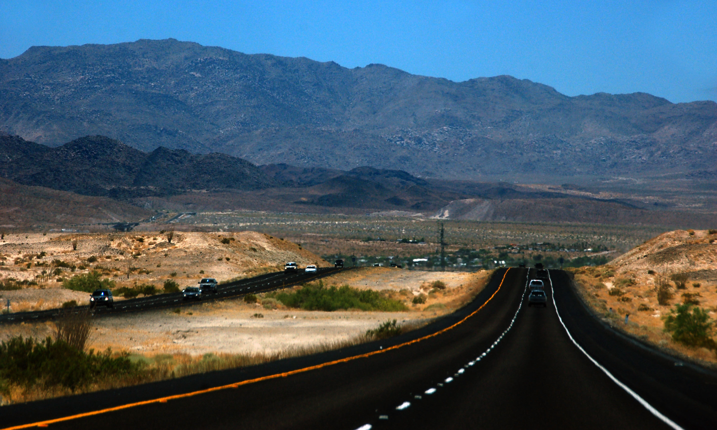
Interstate 8, about to hit the mountains.
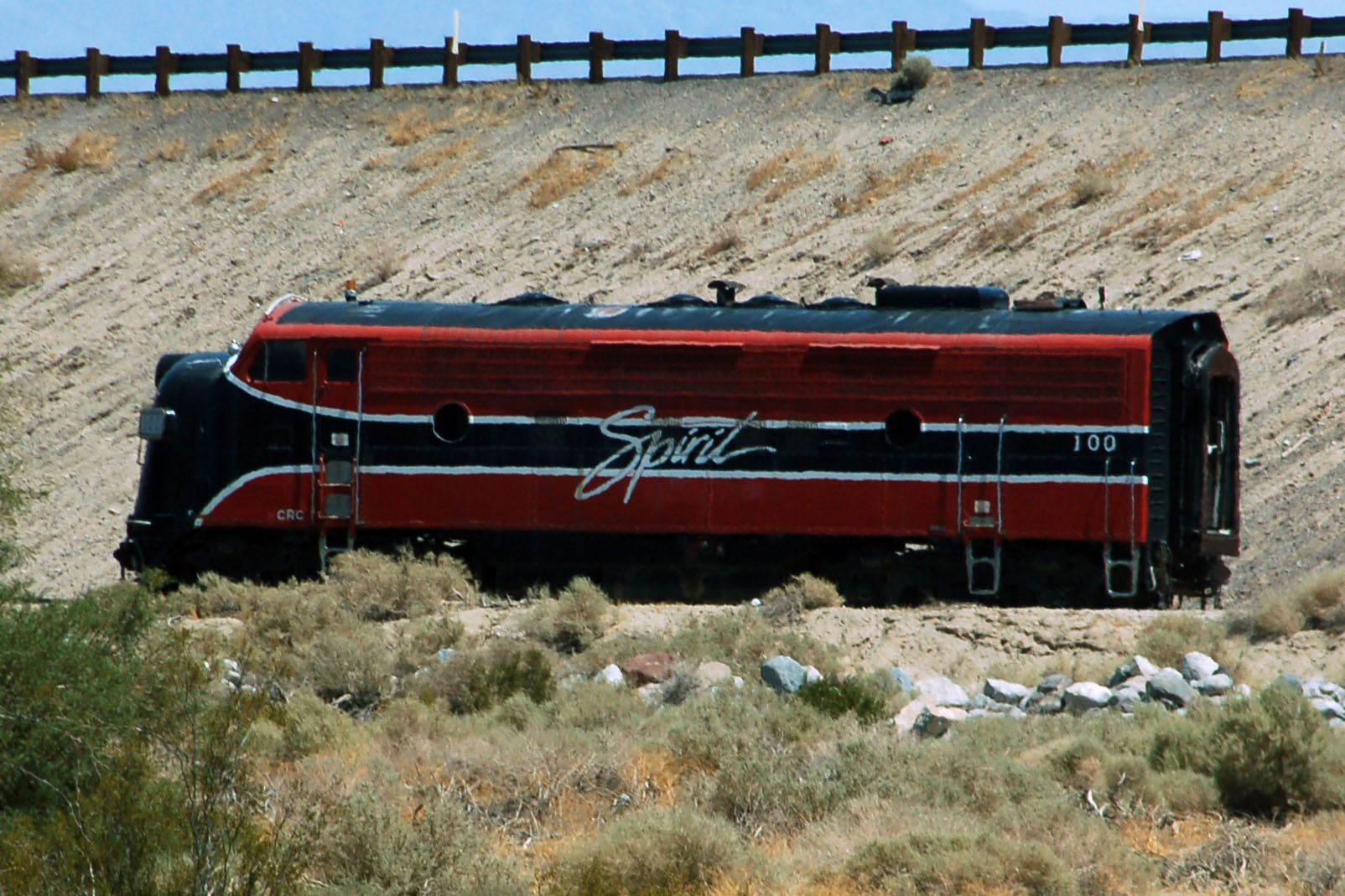
Identify this train. Marked “Spirit”, this engine sits on the old Southern Pacific tracks at Ocotillo Wells.
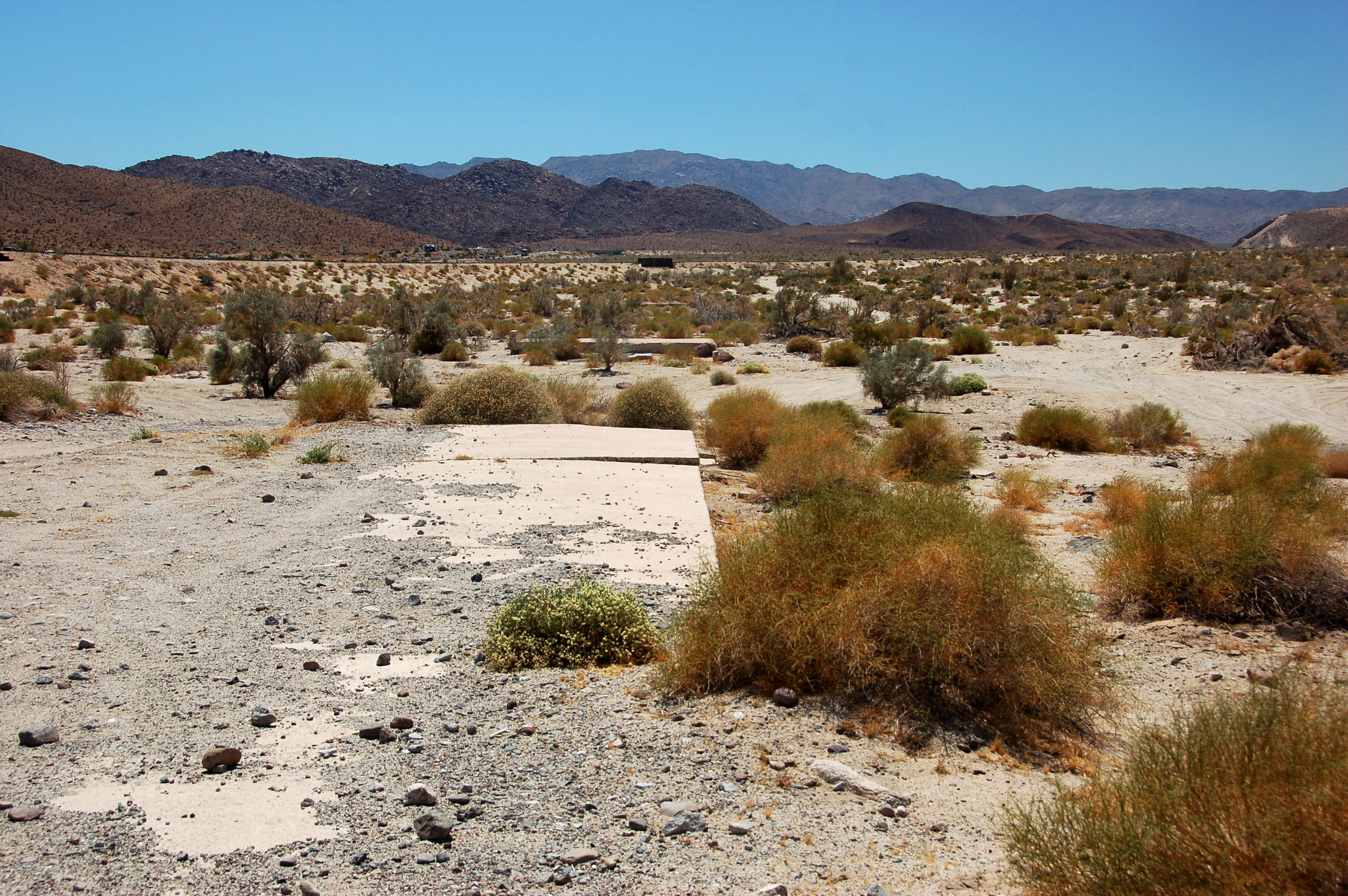
Old US-80, before the concrete abruptly gets torn out. The original road was built in 1913, and around 1956 it was replaced with Interstate 8.
don’t ask me what this sign says – but the dirt trail is old 80 after it was torn out.
Back in San Diego. Turning onto I-15 to get home, and look whose shield has gone missing. Yep, that should be I-15 on that green sign. Here’s where I show up to work at 4pm!


More great photos. You really find the old alignments — it’s inspiring stuff. I especially like the 1920s bridge and the bridgettes at Coolidge Dam, and the old US 80 concrete.
The locomotive is an FP7. That’s about all I can tell you about it. No idea who owns it or what it’s used for.
how can we tell the difference between an FP7 and an F7? Especially given the terrible shadow detail in my photo.
in either case, the fact is, an early 1950s locomotive is randomly sitting by the side of old US-80. What it is doing there, no one knows, but it probably belongs in a museum.
You know what? I think you’re right. I think it’s an F7 not an FP7 like I originally stated.
The easiest way to tell them apart (besides getting a very long tape measure) is to look at the space between the front porthole and the first vent. On the F7, this space is roughly the same as between the porthole and the cab entrance. On the FP7, there’s more space between that porthole and the vent. So upon further reflection, I’d say it’s more likely to be an F7, not an FP7.
But yeah, I have no idea why a 60-year-old locomotive is just sitting out in the desert.
heh, I know nothing about these things; I just googled FP7 and upon discovering that it’s a variant of the F7, I looked at that too. Then I kinda played “compare and contrast” and that’s why I thought it was an F7. Also because there were a lot more F7s made…
at least the desert air will keep it well-preserved!
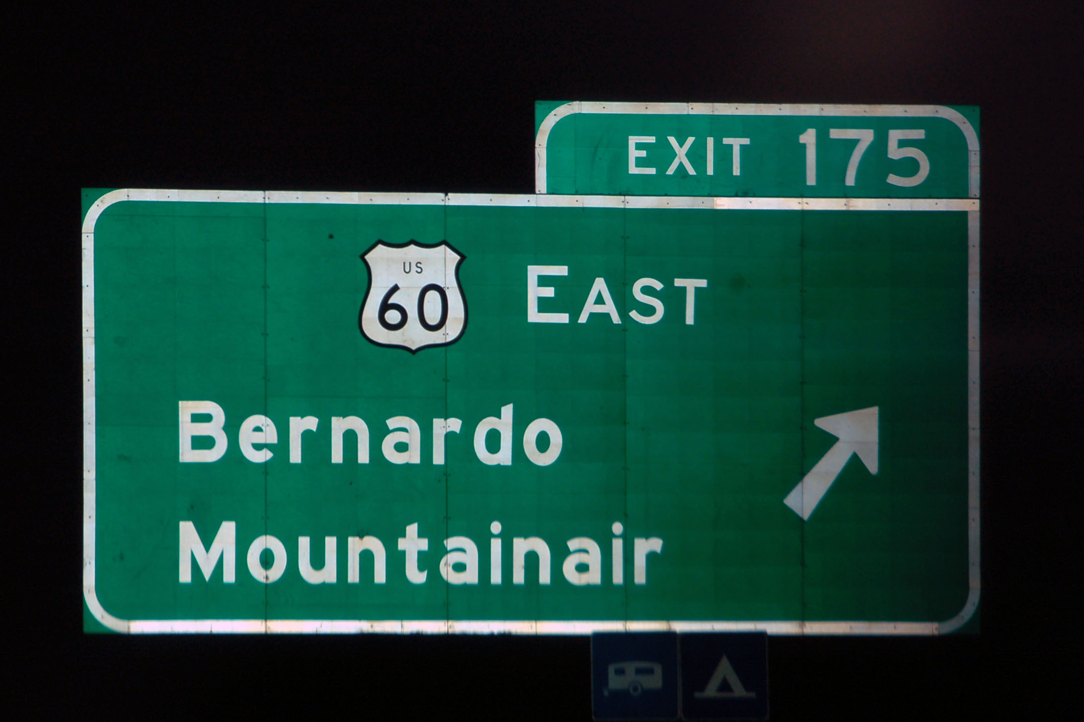
Too many signs :) Not enough New Mexico!! Jk… good photos – and even one with the name of my new town!
your objection is noted, Shelly… some other posts I’ve recently made have Classic Mexico, which is close enough to New Mexico, right?