
A trip that Mike Ballard and I took down to San Felipe, Baja California, in July, 2010. We drove federal route 1 from Tijuana to Ensenada, then 3 to 5 to San Felipe and Puertecitos, before returning the next day along 5 to some Baja California state routes and into Sonora to San Luis Rio Colorado. We then drove 2 all the way back to Tecate, stopping along the way to view the fault line that moved during the April, 2010 Mexicali earthquake.
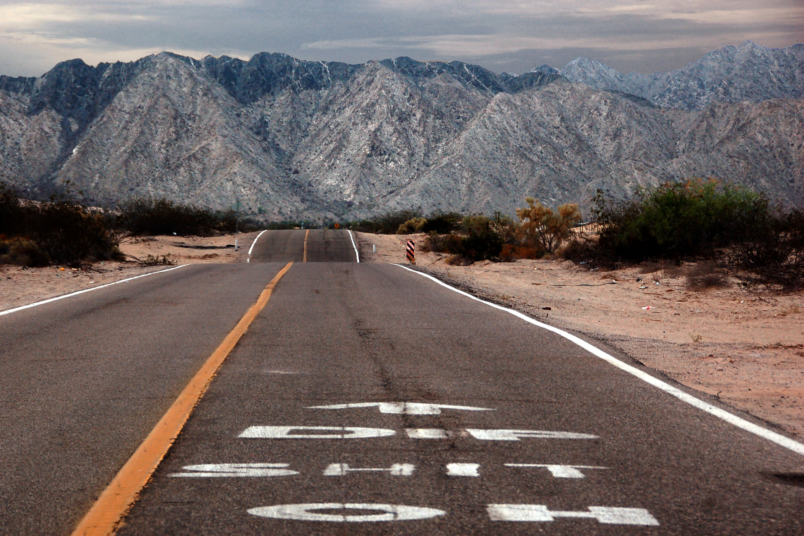
World-famous Oh Shit Dip on highway 5 between San Felipe and Puertecitos. There are many that are much worse, further south along this road. However, that road was washed out by Hurricane Nora in 1997. The road was in terrible shape until – well, so recently that most US tour books and websites still do not know that it has been resurfaced.
The road is paved, and in great condition, past Puertecitos all the way down to El Huerfanito. It does help to remember, however, that any dip that has the orange and black striped marker beside it (like the Oh Shit Dip here) is best slowed down for.
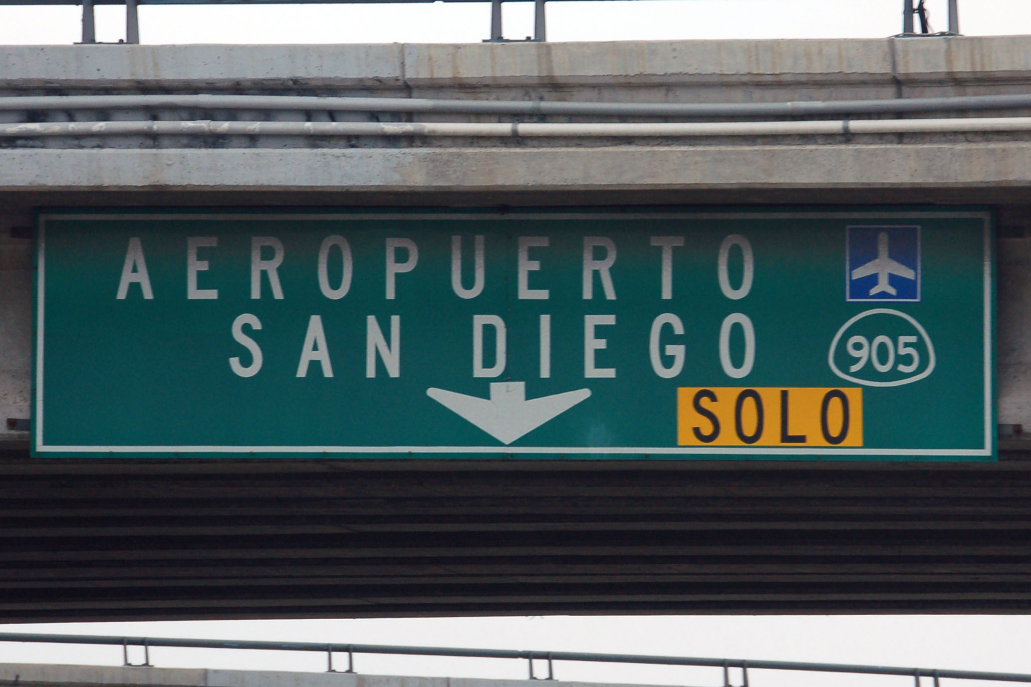
California 905 is the Otay Mesa crossing, east of Tijuana. There is at least one interstate 905 shield left in Tijuana, but we must’ve been half asleep because we didn’t get a good photo.

Baja California state route 201 is the Tijuana bypass.
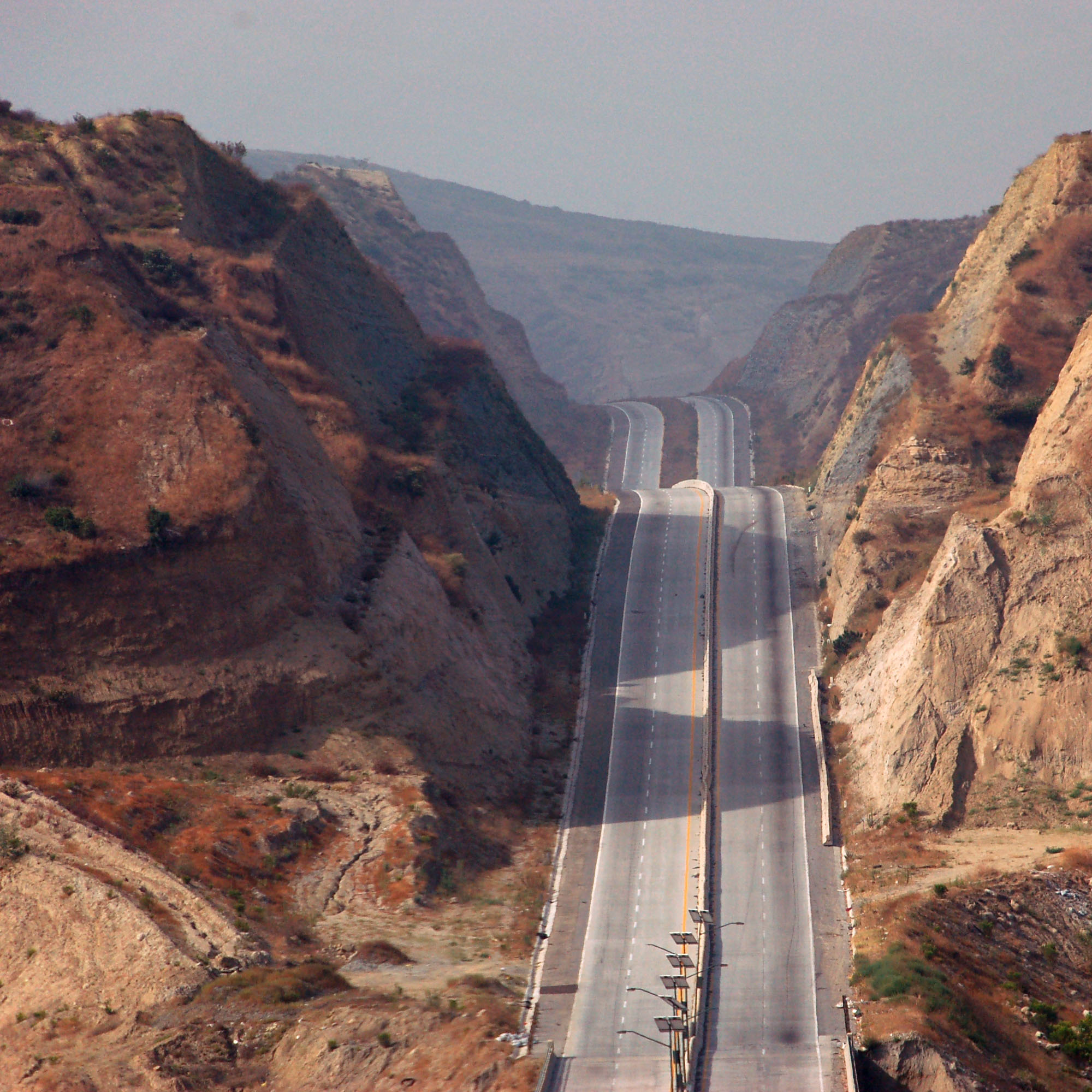
The bypass is carved dead straight through the mountains.
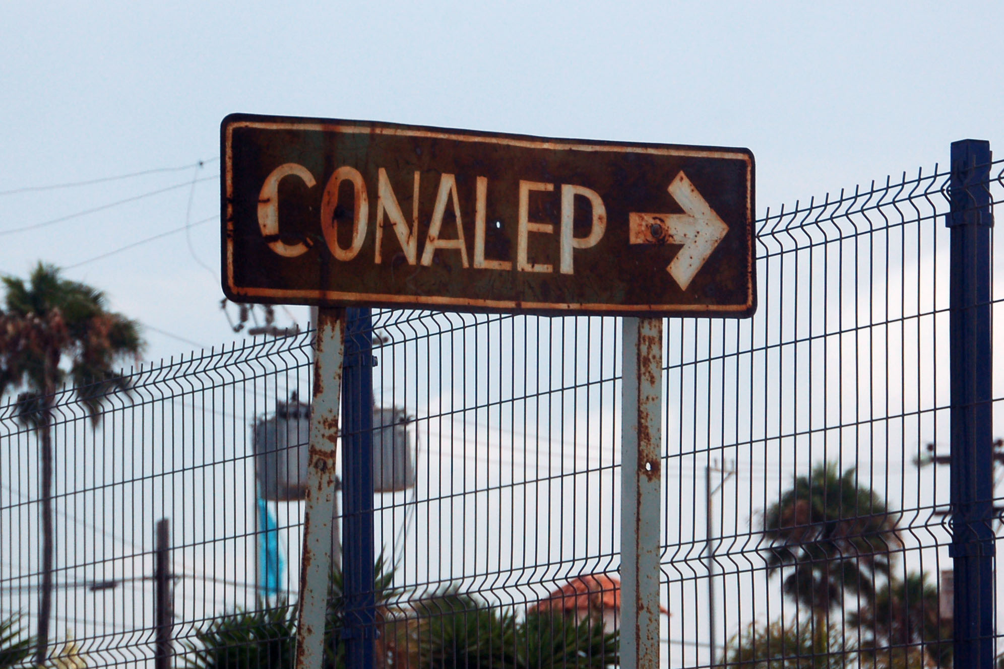
Conalep is Mexico’s equivalent to the University of Phoenix. The system was founded in 1978 and I’m willing to bet this sign has been there since.
This sign in downtown Ensenada is even older. The green has faded to blue over the years.

This is the only example I know of a federal route marker with padded zeroes. Sonora state routes do this commonly – but this is nowhere near Sonora!
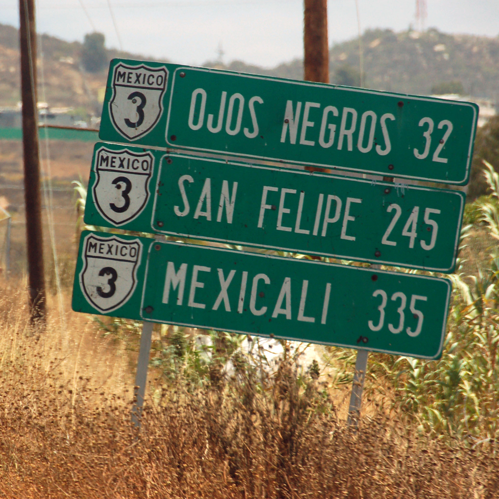
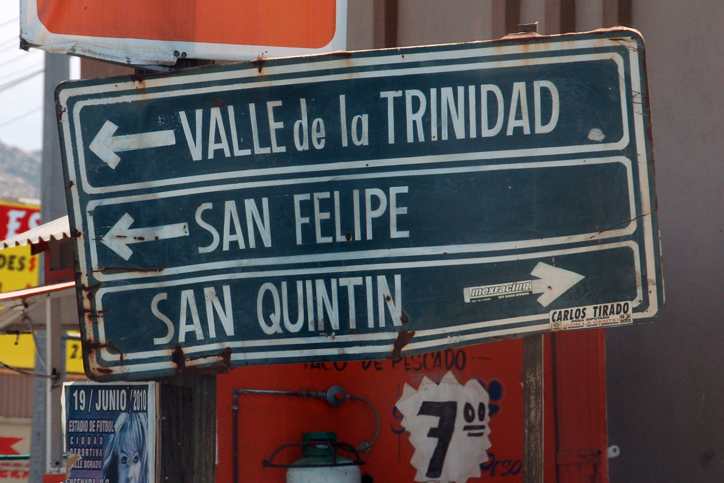
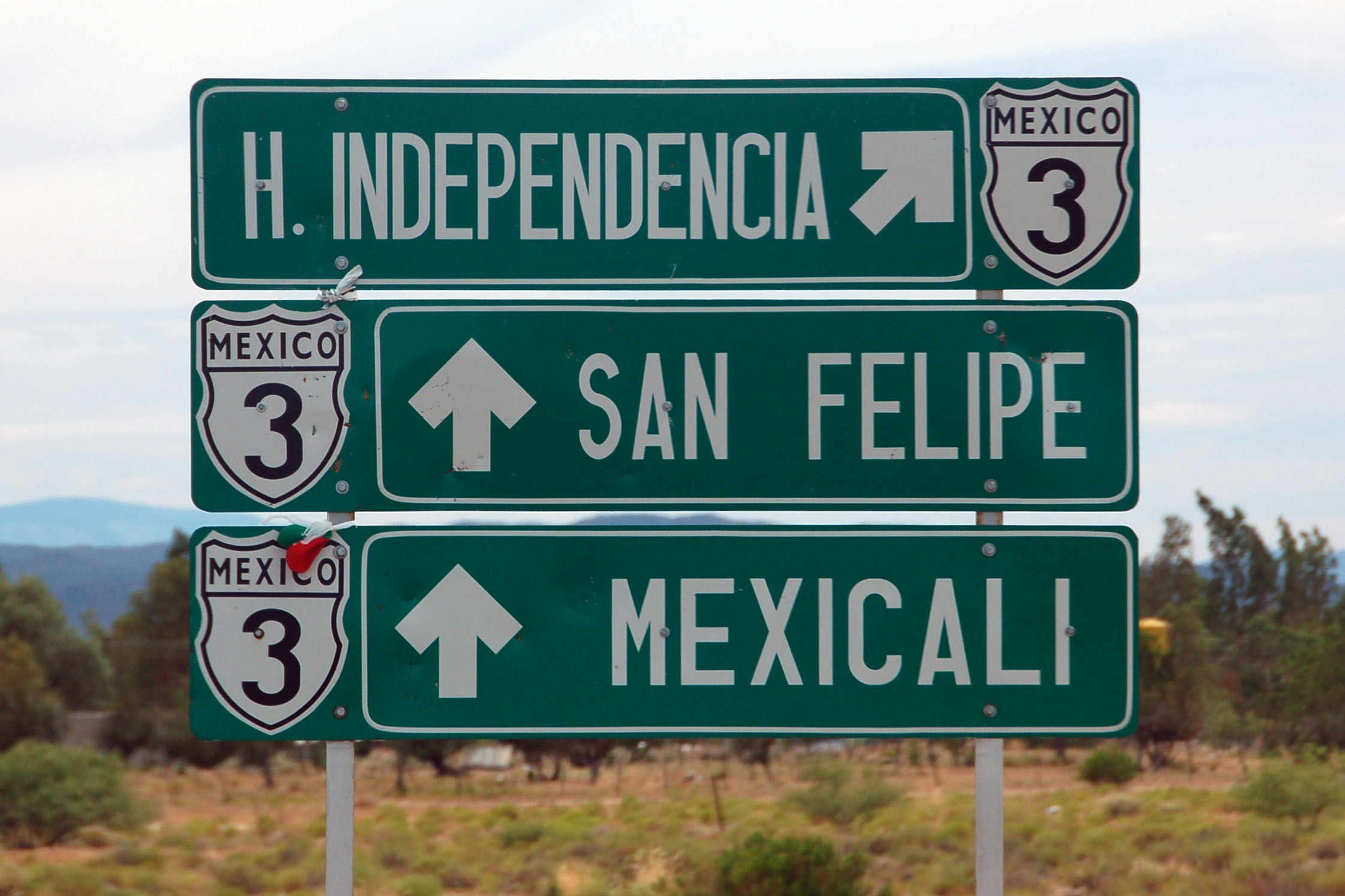
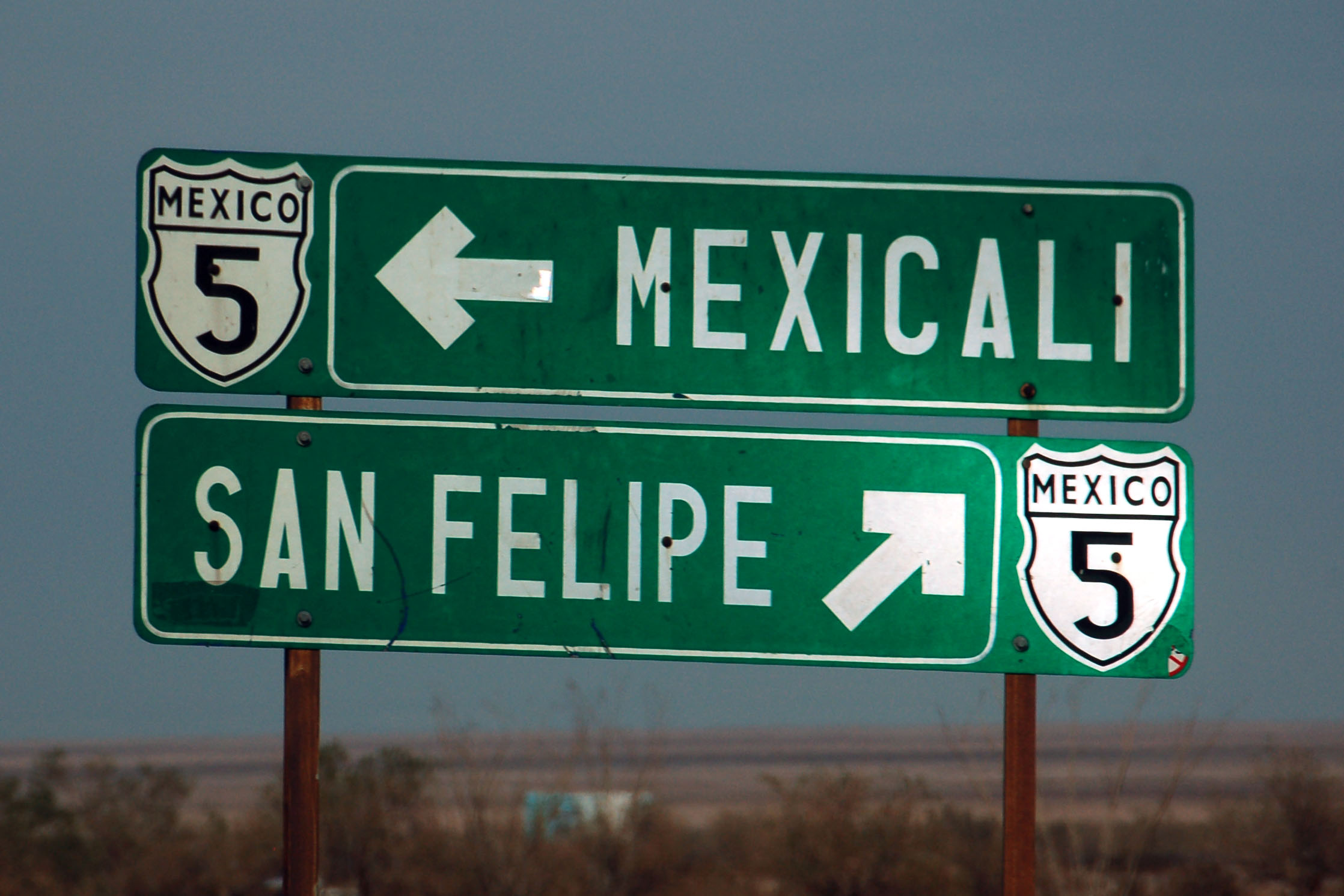
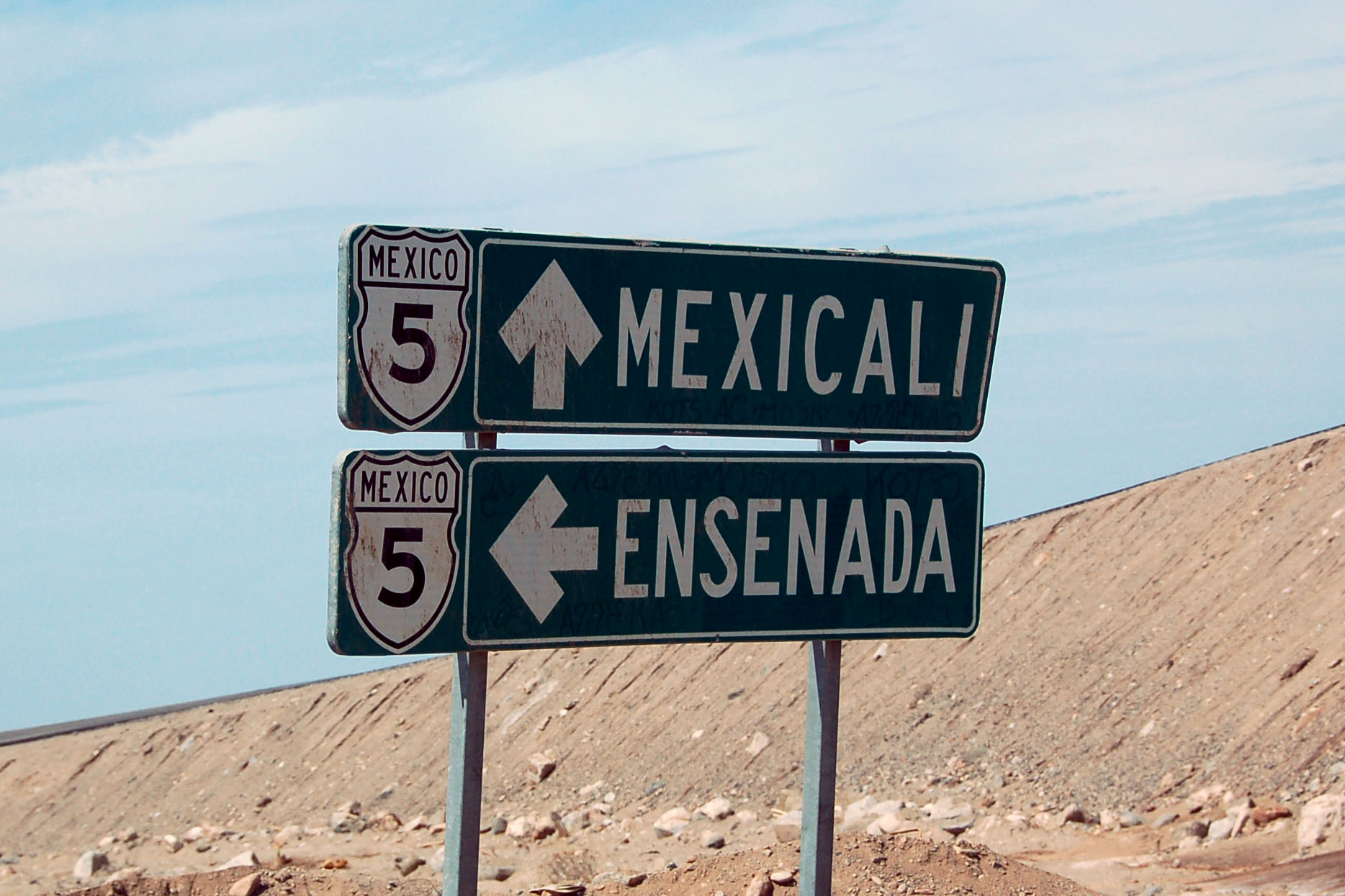
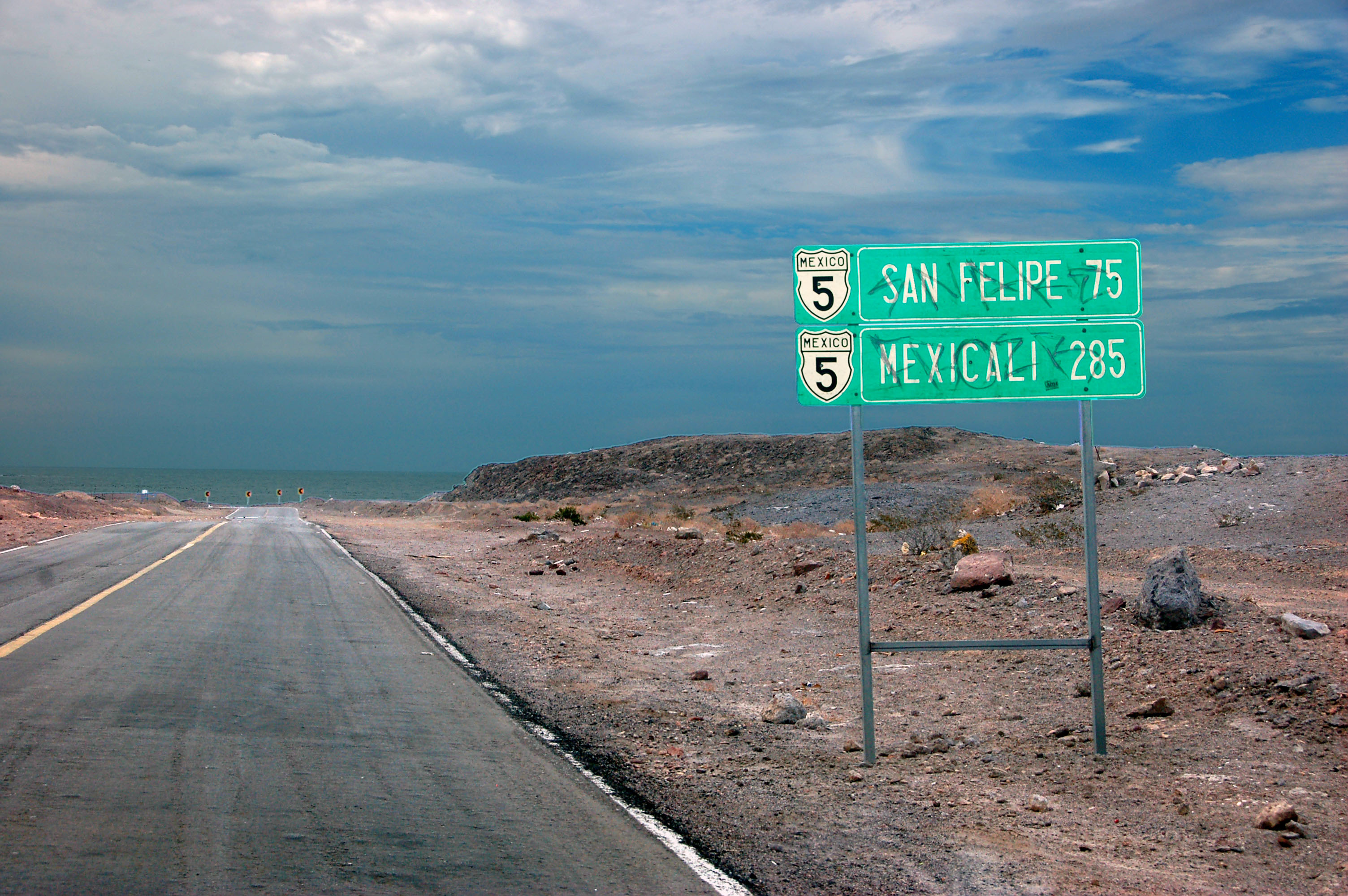
We turn off 1 onto 3 at Ensenada. 3 does not go to San Felipe or Mexicali – it ends at 5, which connects those two.
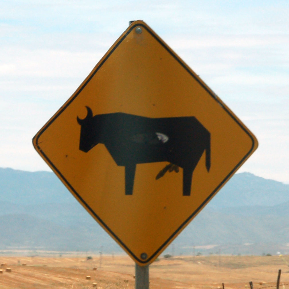
Augmented cow. This modification was on three or four consecutive signs on 3.
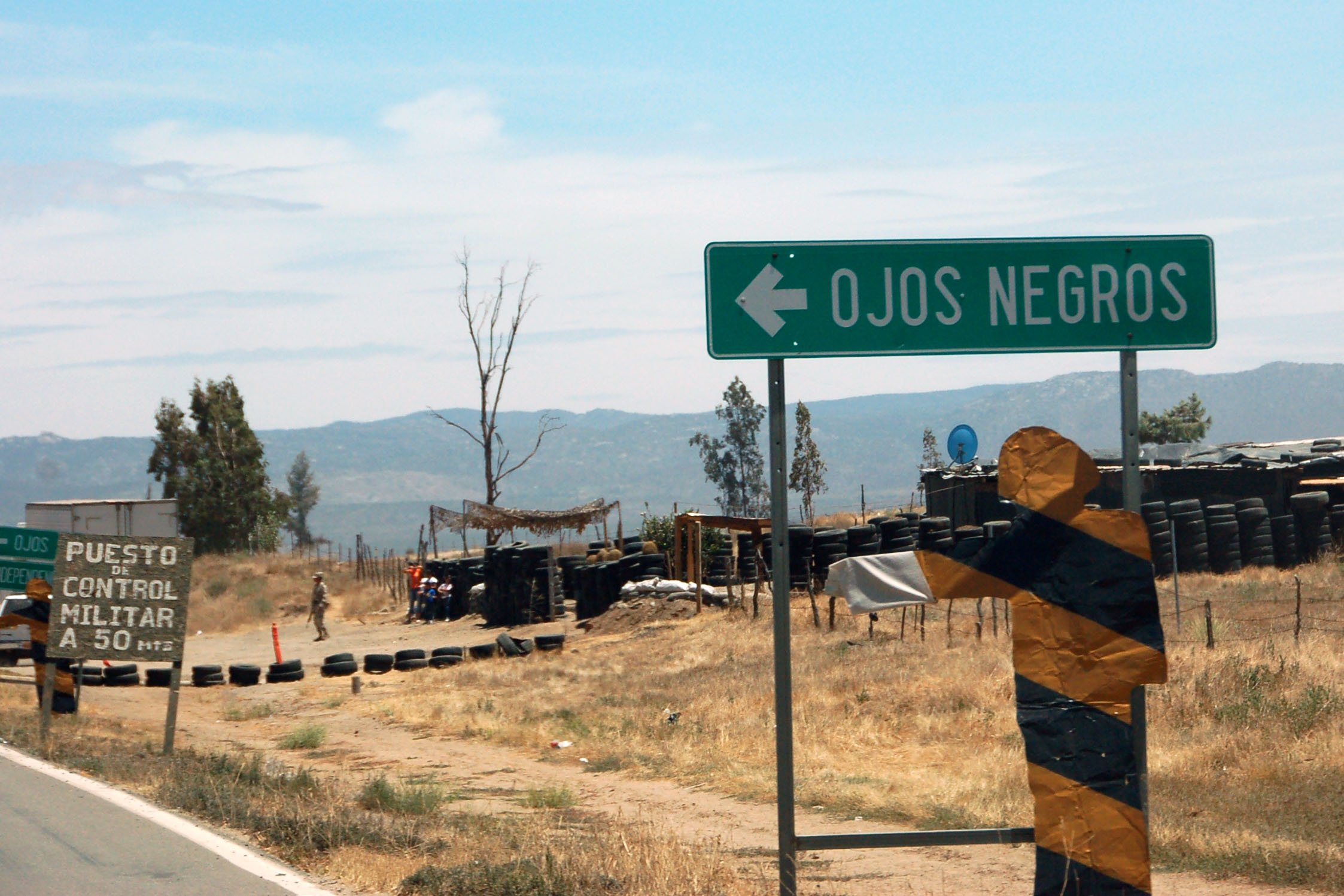
Our first military checkpoint. They did not ask for FMM tourist cards – we went through the trouble of acquiring them, and it turns out no one wanted to see them. First we tried to find the office in Tijuana, and failed, so we decided to say “screw it”, but when we randomly came across an office in Ensenada (well signed from route 1 with blue signs for “migracion”), and paid our $22 each there.
One does not need FMM cards to take 1 down to Ensenada, or 5 down to San Felipe, but to travel 3 between the two, technically one does need such a card.
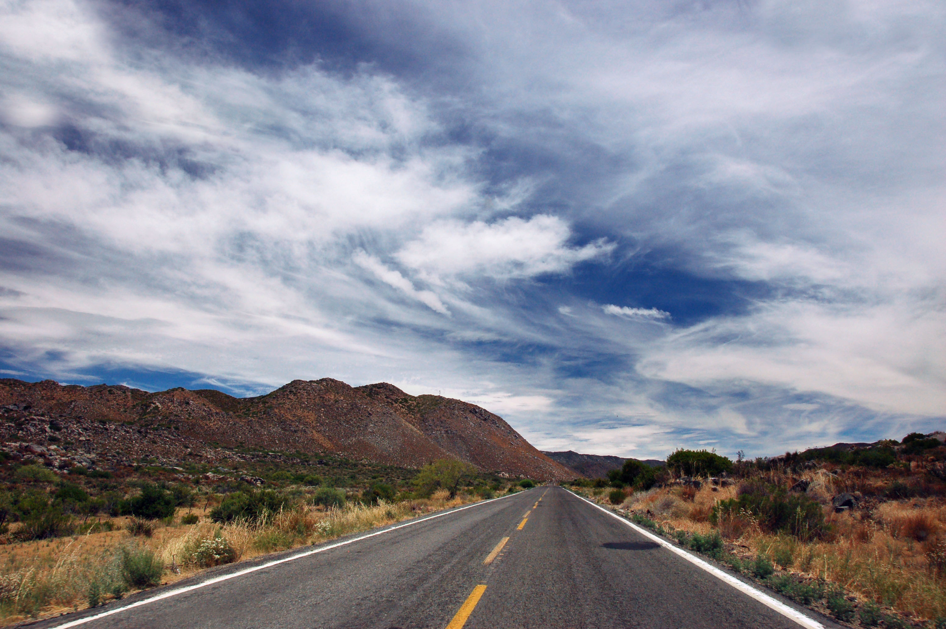
Typical view on highway 3.
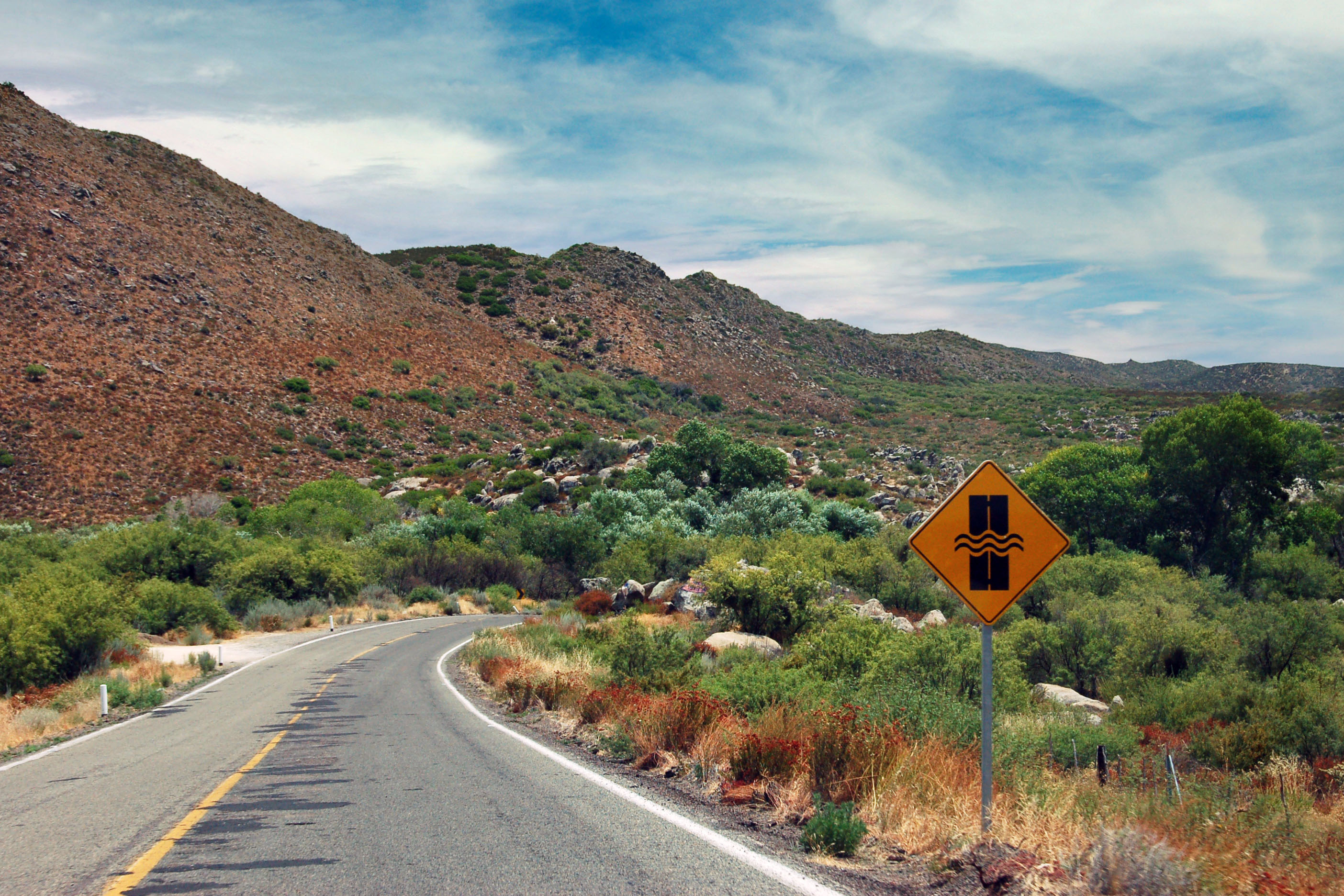
The sign for a dip in the road, that may contain a small stream. We will see a lot more of these on highway 5.
Mexico does not believe in business routes. Both the main road, and the loop into town, are signed simply as “3”.
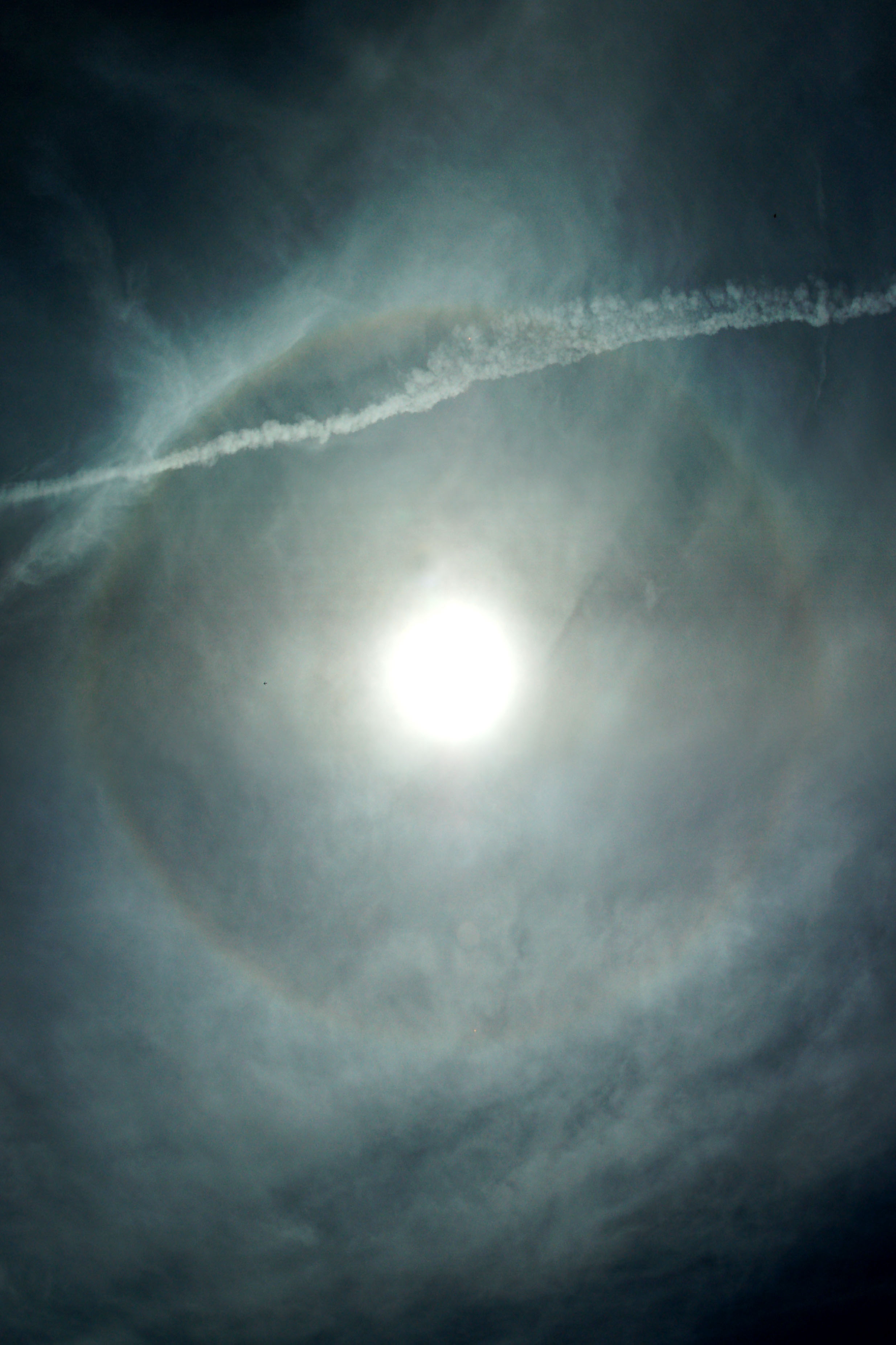
An overhead halo.
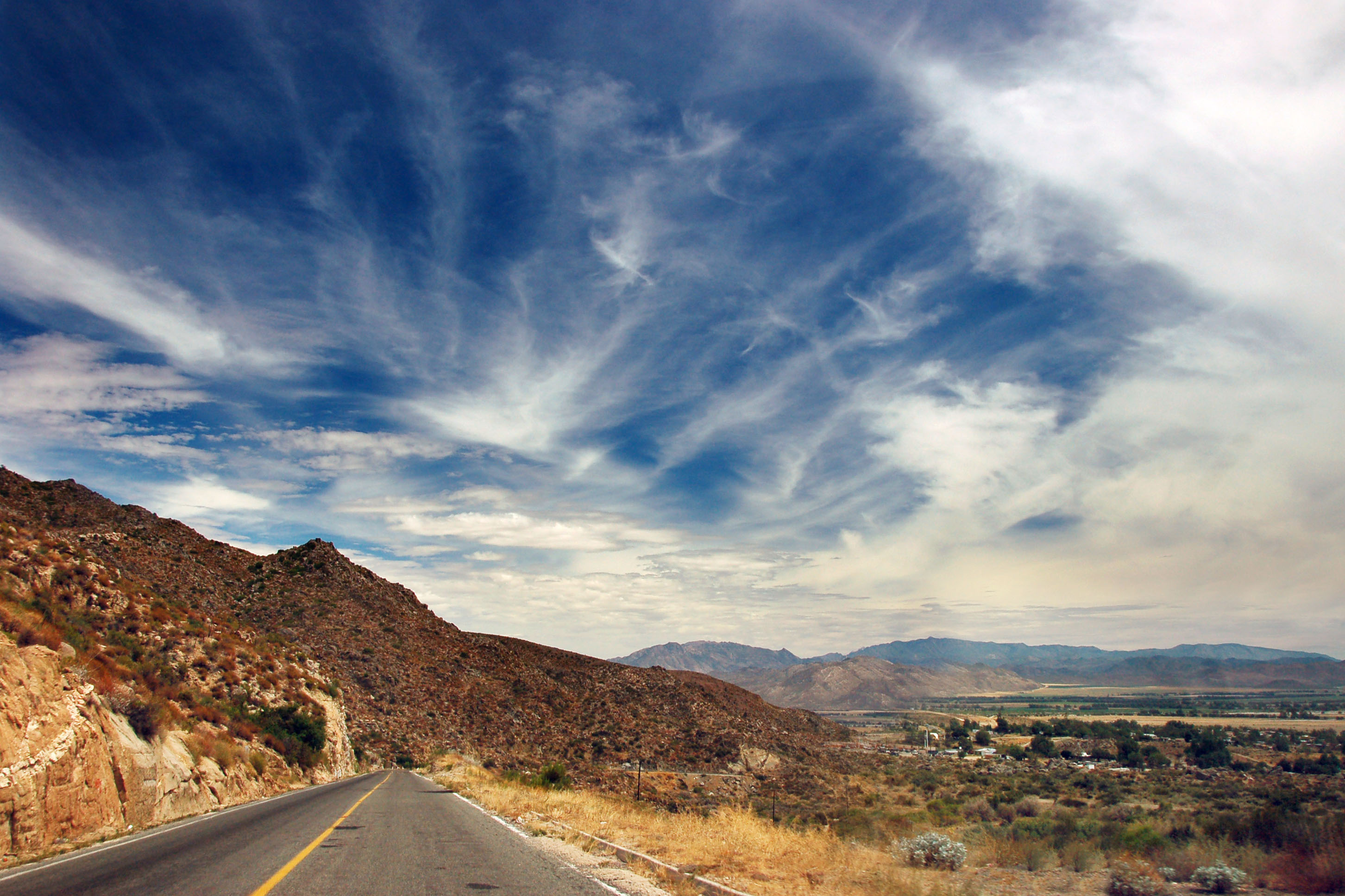
Coming down the hills towards Valle de la Trinidad.
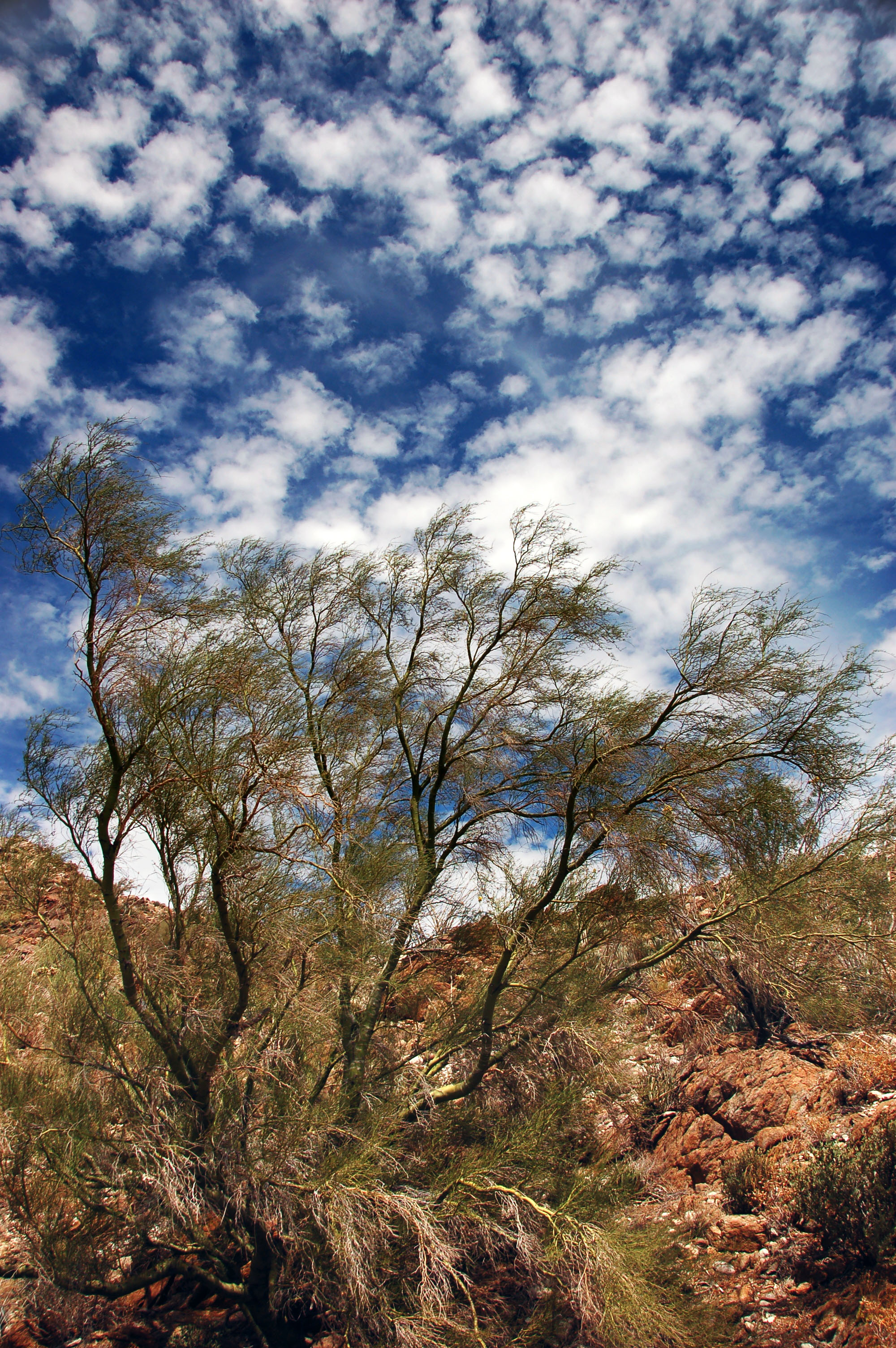
Green trees and mackerel skies.
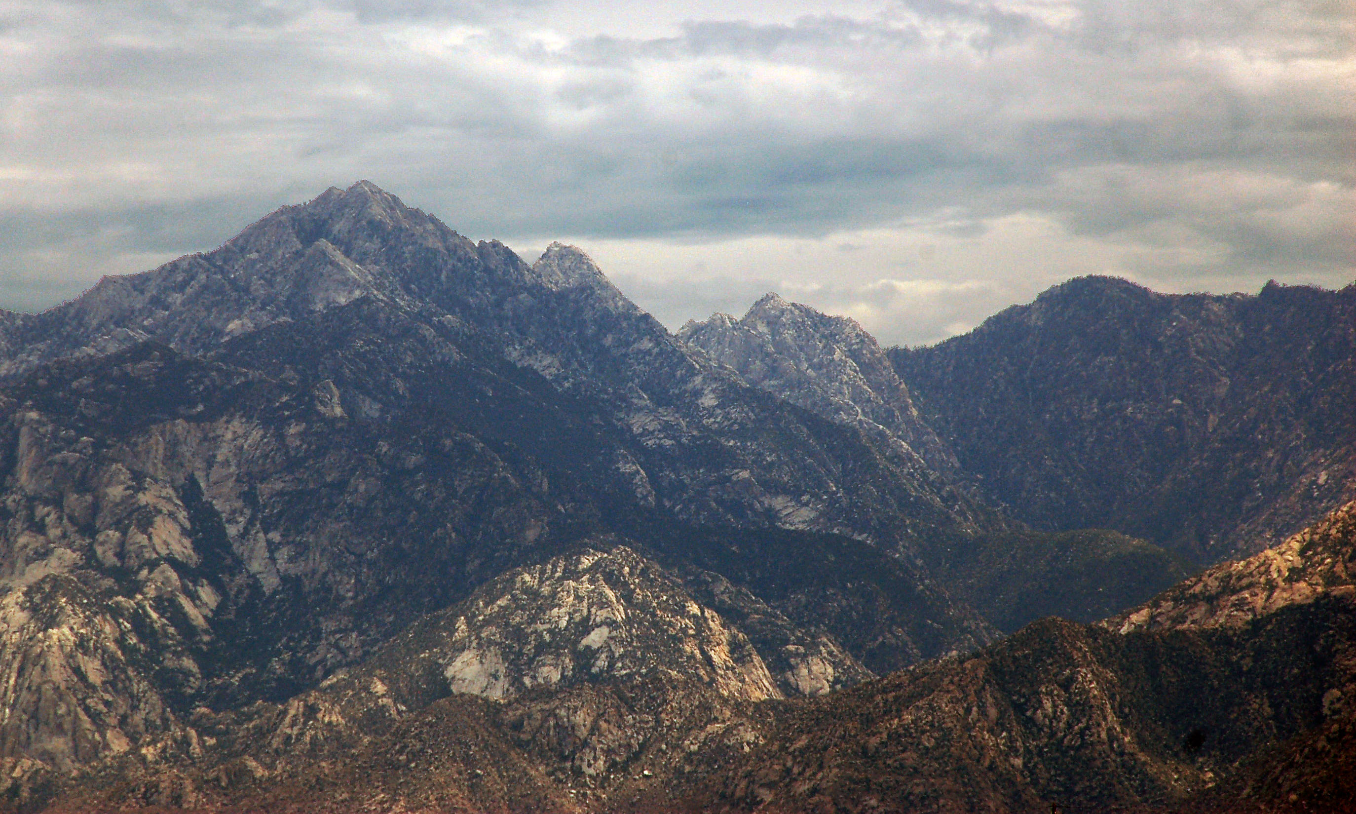
Distant peaks. The one on the left is Picacho del Diablo, the highest mountain in Baja California.
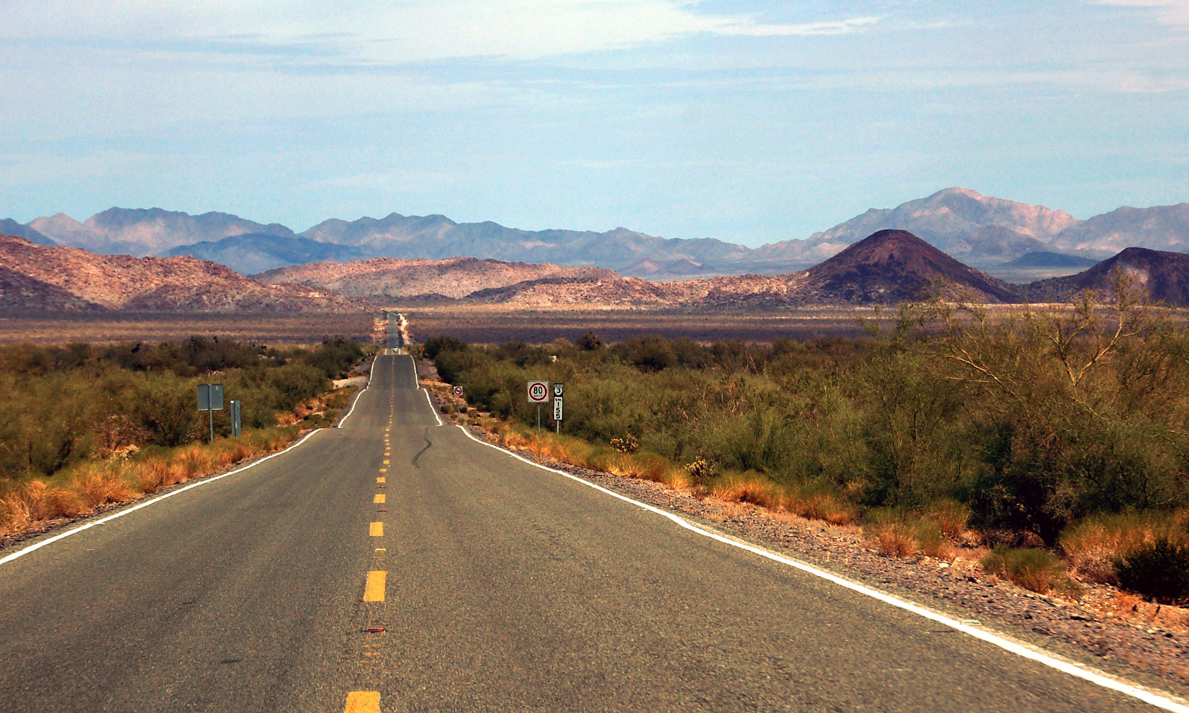
A long straight shot across the valley. Highway 5 is just before the mountains.
A military checkpoint, about a kilometer before the junction with 5. Here, for sure we thought they’d check our tourist cards. Nope.
We’ve made it to highway 5.
The 3/5 junction is undergoing a complete reconstruction. This sign may have been helpful at one point, as right now there is no signage at all indicating that we are to turn off the main road and onto a temporary dirt road paralleling 5.
Mexico on occasion takes the “one route number everywhere” idea a bit too far. It is 3 that goes to Ensenada; no matter how you slice it, this sign is incorrect.
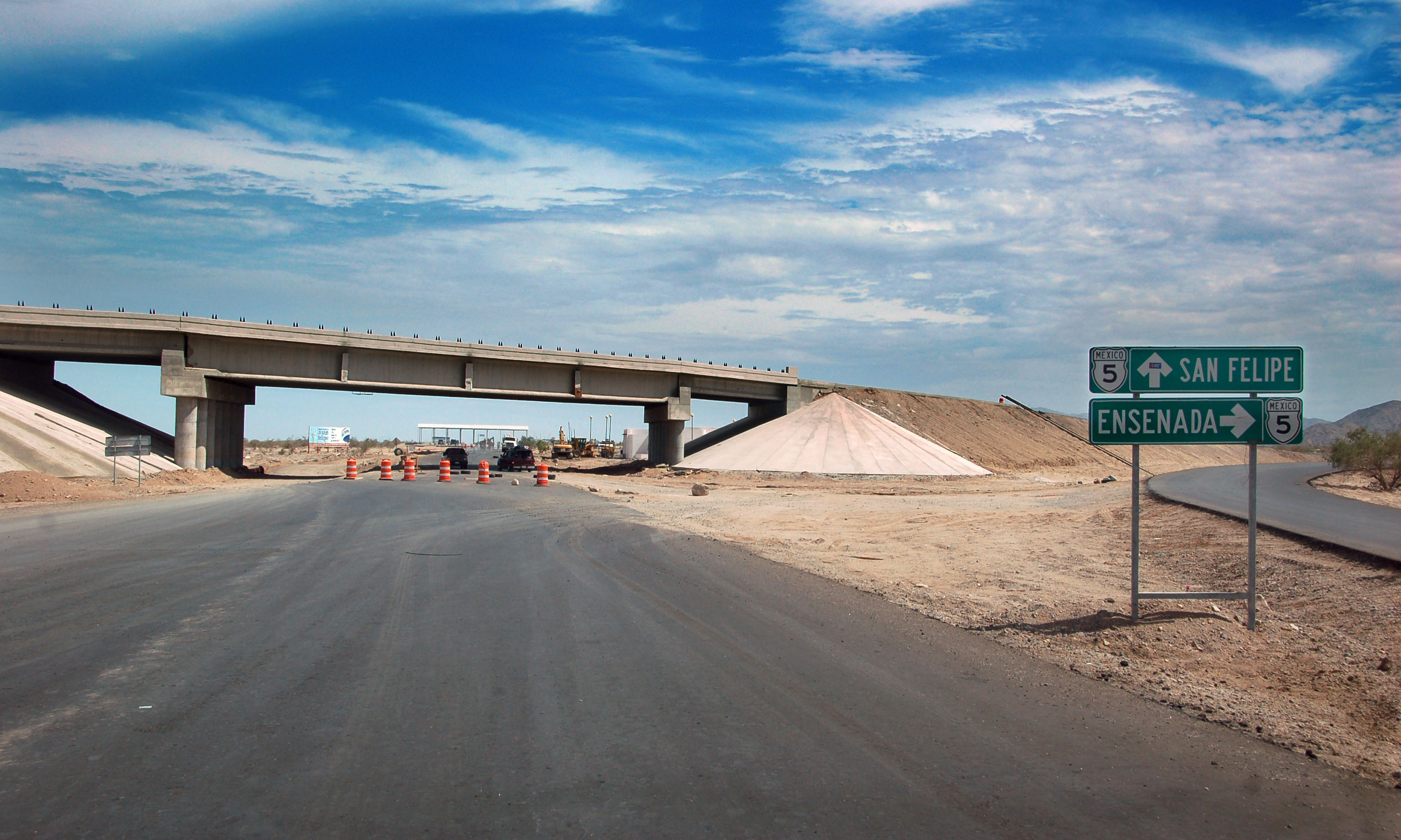
Another set of one correct and one incorrect sign. Also, note the cones detouring us onto the dirt road.
This will be the new military checkpoint. Looks like they’re moving it from 3 to 5.
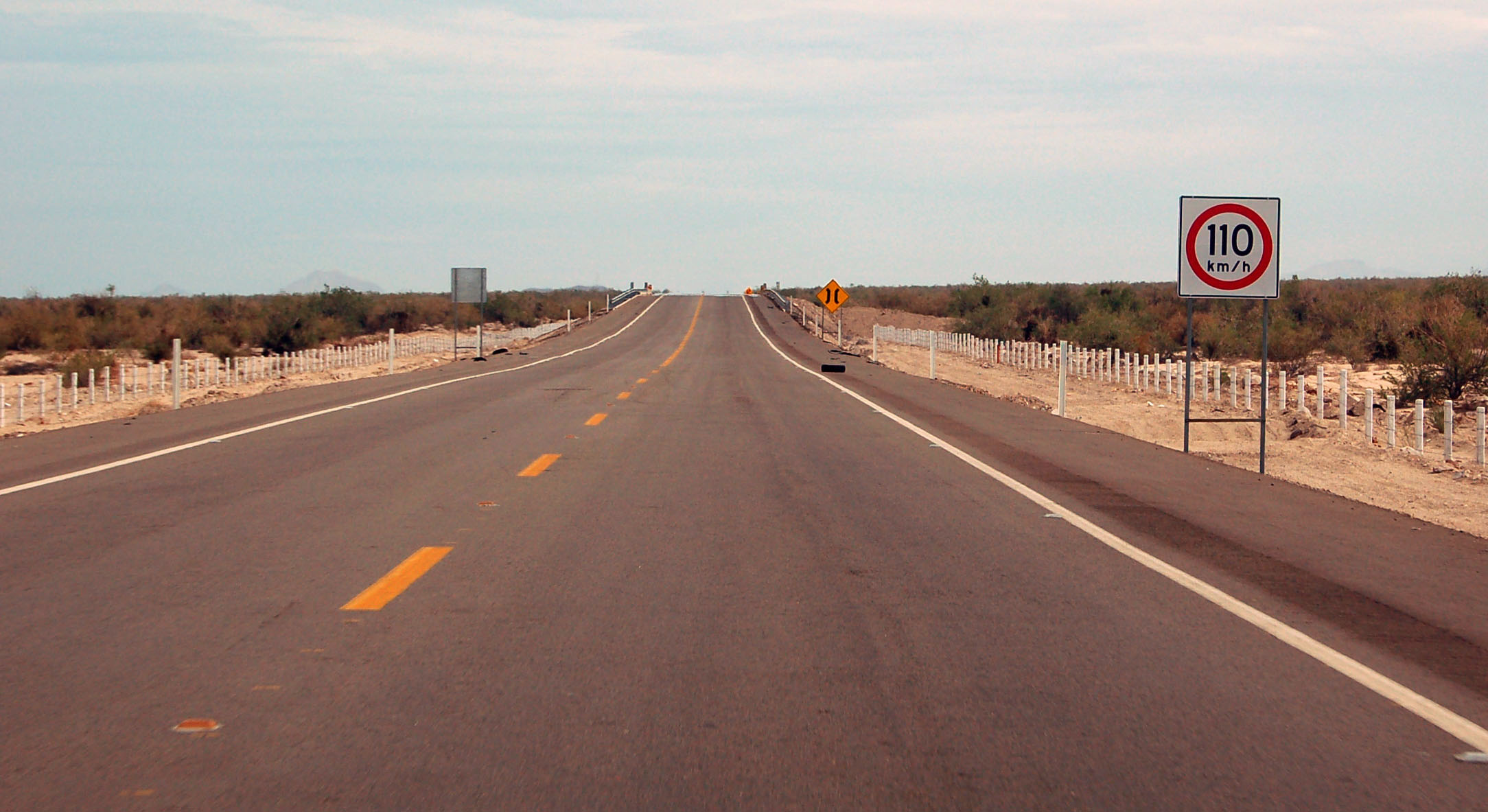
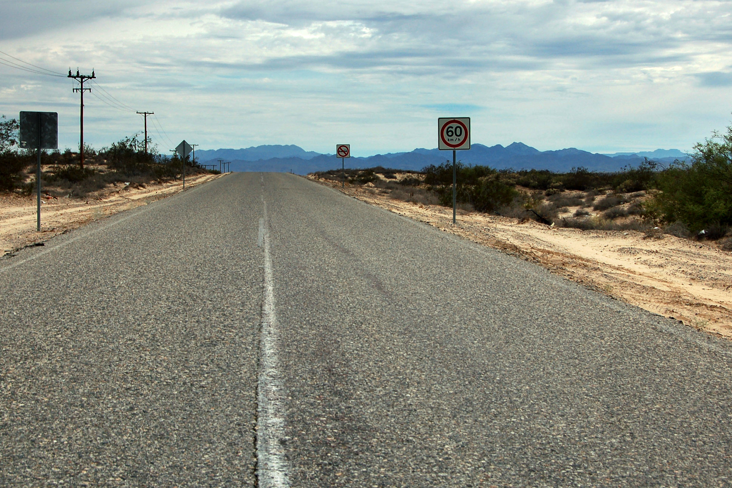
The highest speed limit in Mexico on two-lane roads: about 68mph. There are some rare four-laners that go up to 120, but we did not see any. Even on the brand new four-lane road heading into San Felipe (it opens up to four lanes just south of here), the speed limit stays at 110.
Here’s where the road becomes a four-lane expressway.
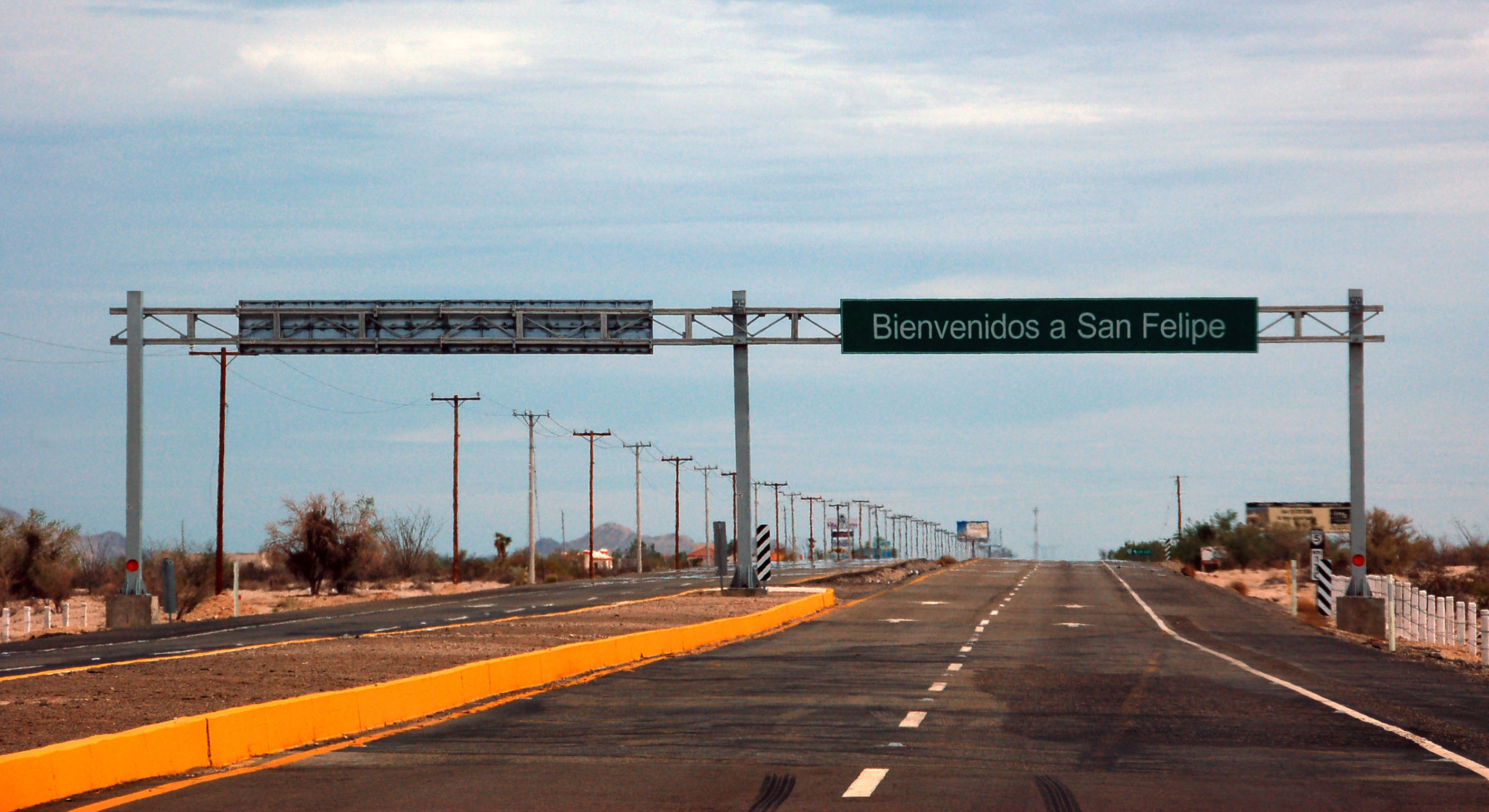
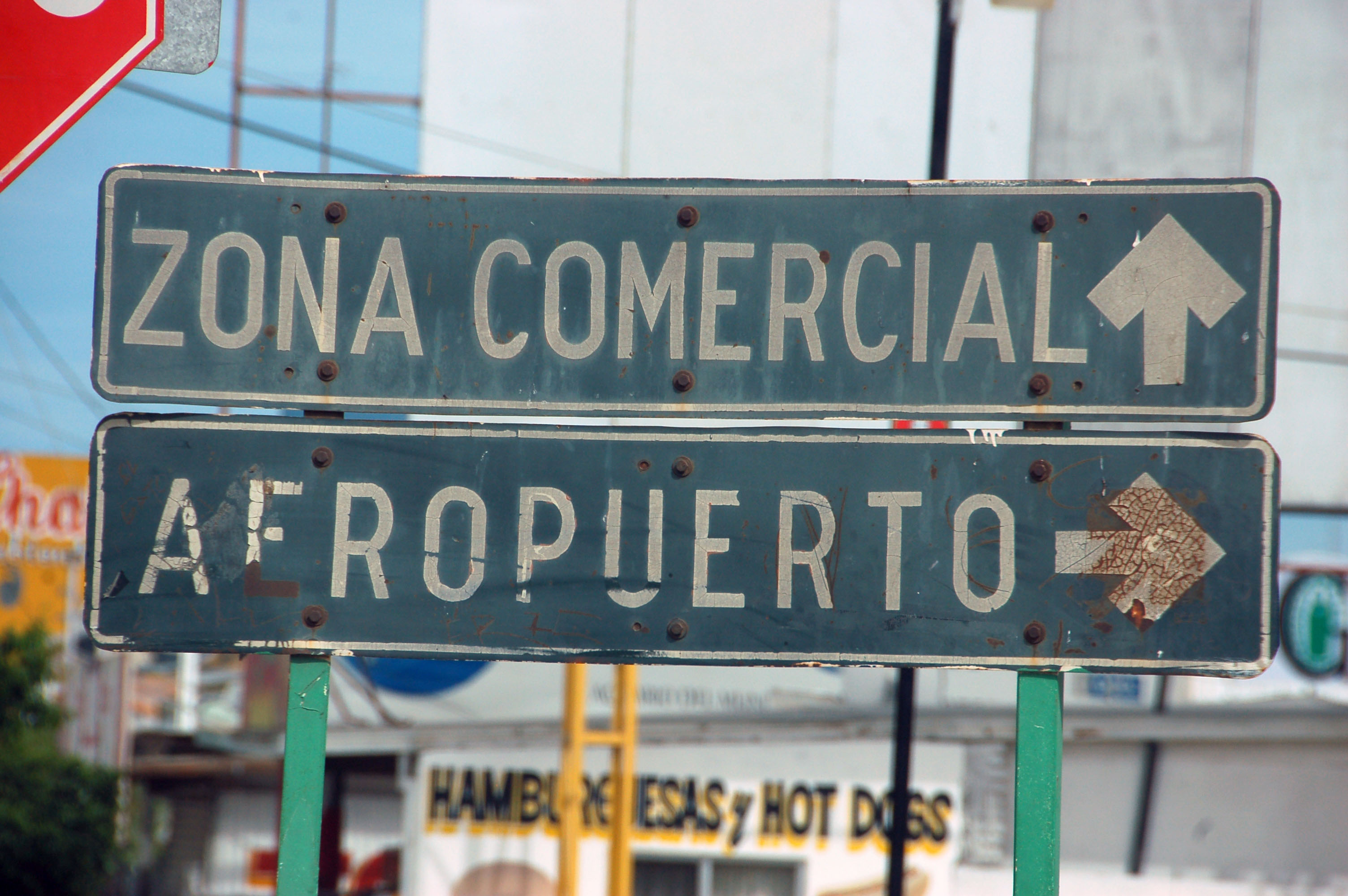
We are officially here. Well, there’s still another five miles of outskirts, complete with English billboards encouraging the purchase of real estate. They really hyped up this place (impressively excessive, even in the context of a housing bubble) but now nothing is selling. Luckily, the actual downtown was spared from this excess, and you will need a small bit of Spanish to get by.
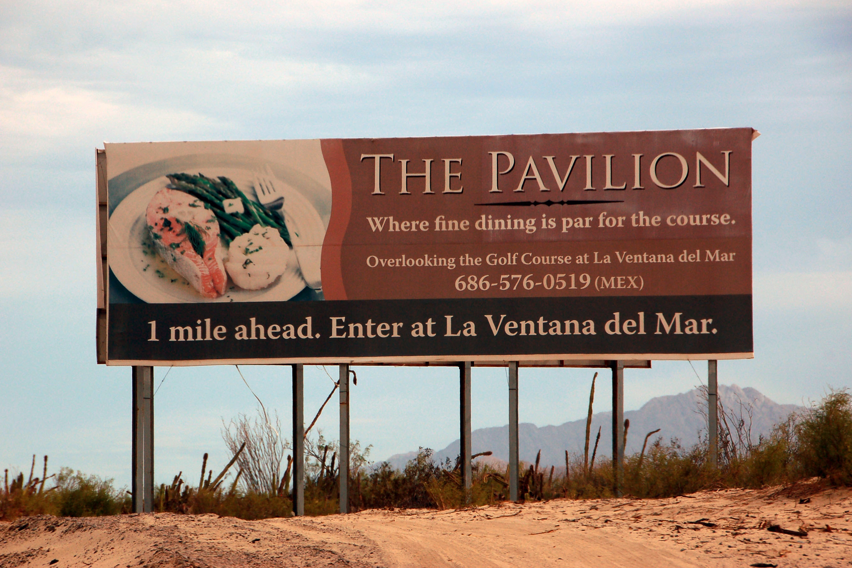
Golf! Fine dining! And a reminder that it’s a Mexican phone number.
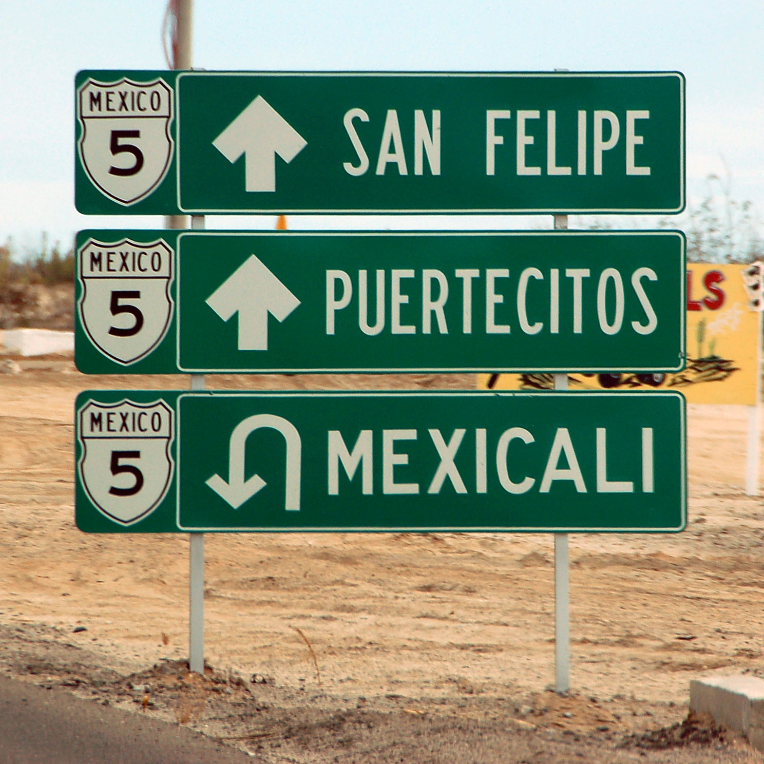
Highway 5 now goes to Puertecitos. Before the repaving, the road was not a federal highway, but it looks like it got the upgrade.
Note how only the word MEXICO has a border on that shield. Mexico takes a page from a 1930s Texas signing manual here.
Now we’re officially in San Felipe. Note that at one point, the arrow was diagonal, but now it is a sharp right turn.
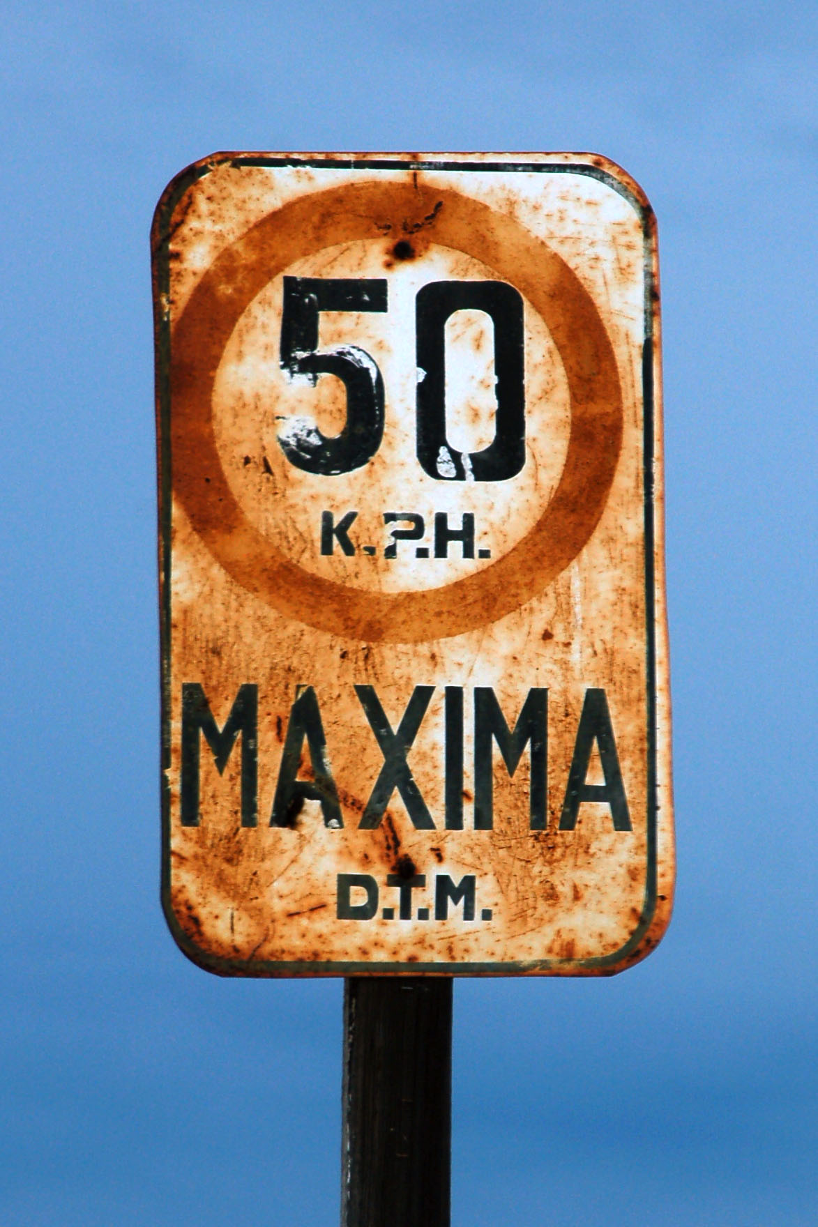
Quite likely the oldest sign we saw. There’s a pair of these, and they are only about 12×18 inches and have the “DTM” (Departmento del Transporte Mexicano) initials at the bottom.
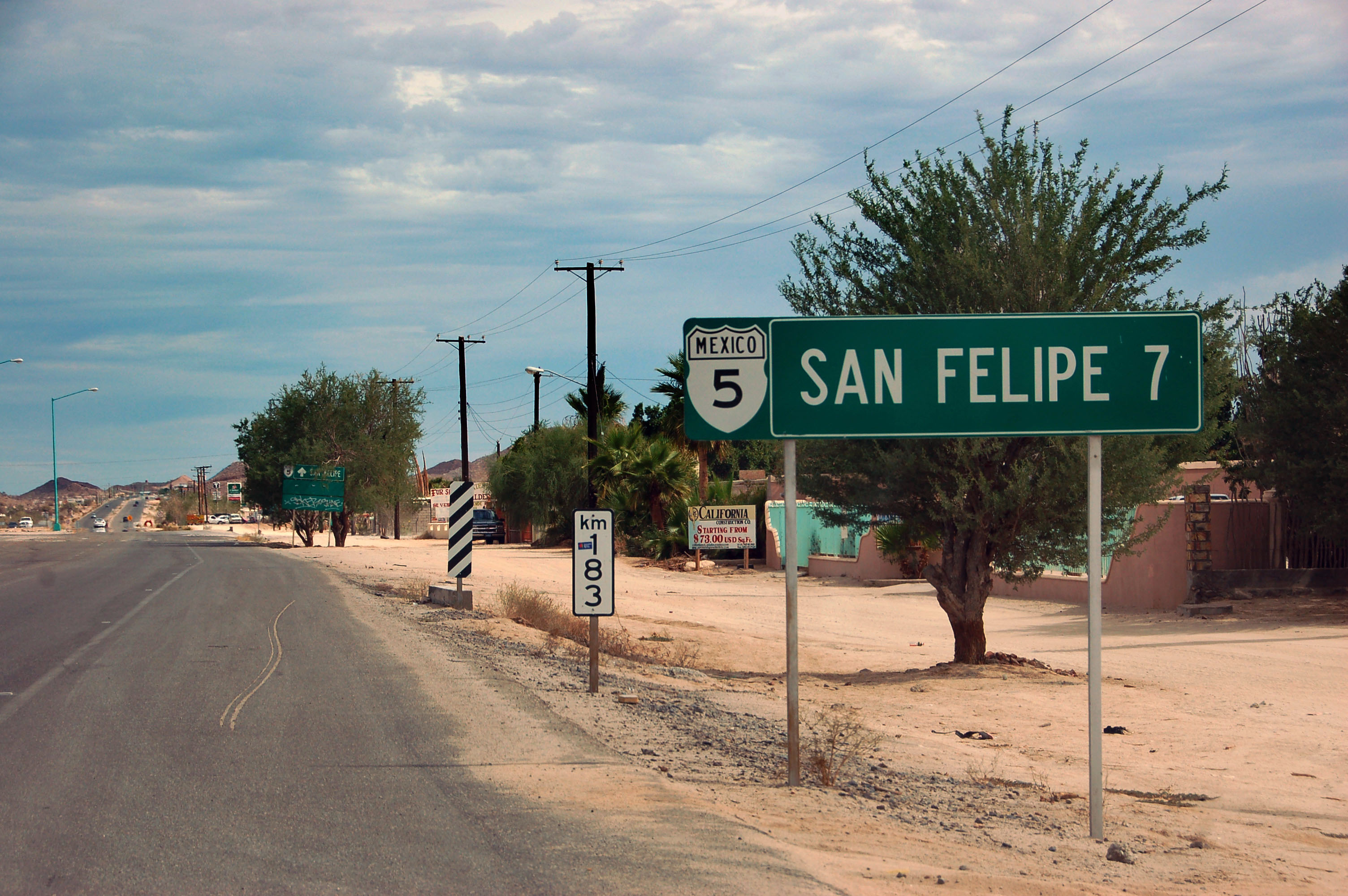
Highway 5 heads out of San Felipe. This is some older paving – maybe even older than 1997. It definitely has a solid white stripe down the middle, as opposed to the modern yellow, but that isn’t all that meaningful. Mexico’s adherence to standards is fairly loose.
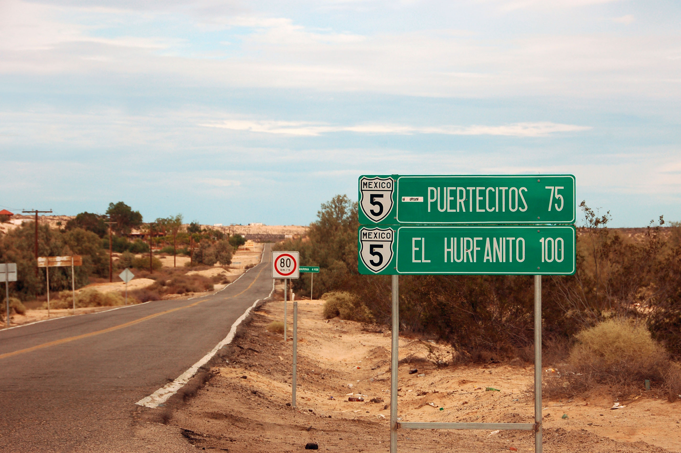
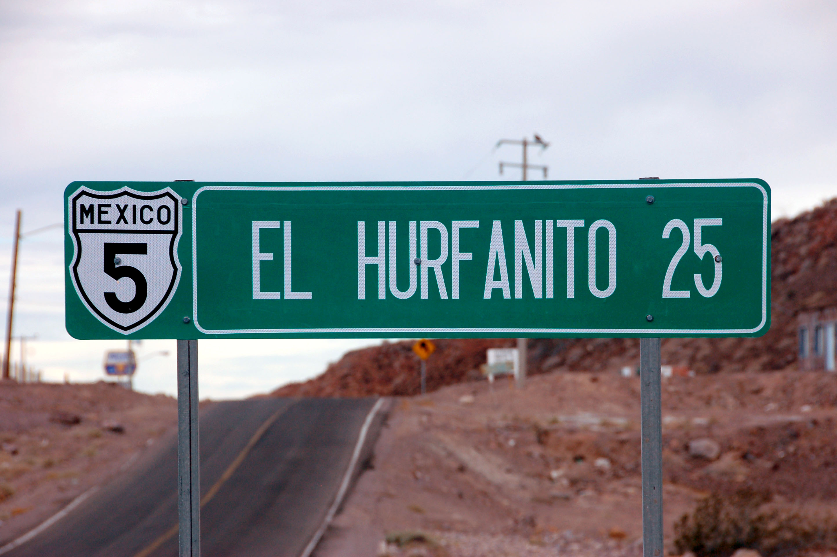
Indeed, it’s highway 5 all the way down to El Huerfanito (or “El Hurfanito”, as this sign claims!)
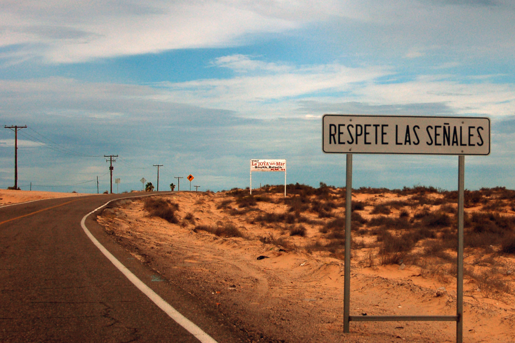
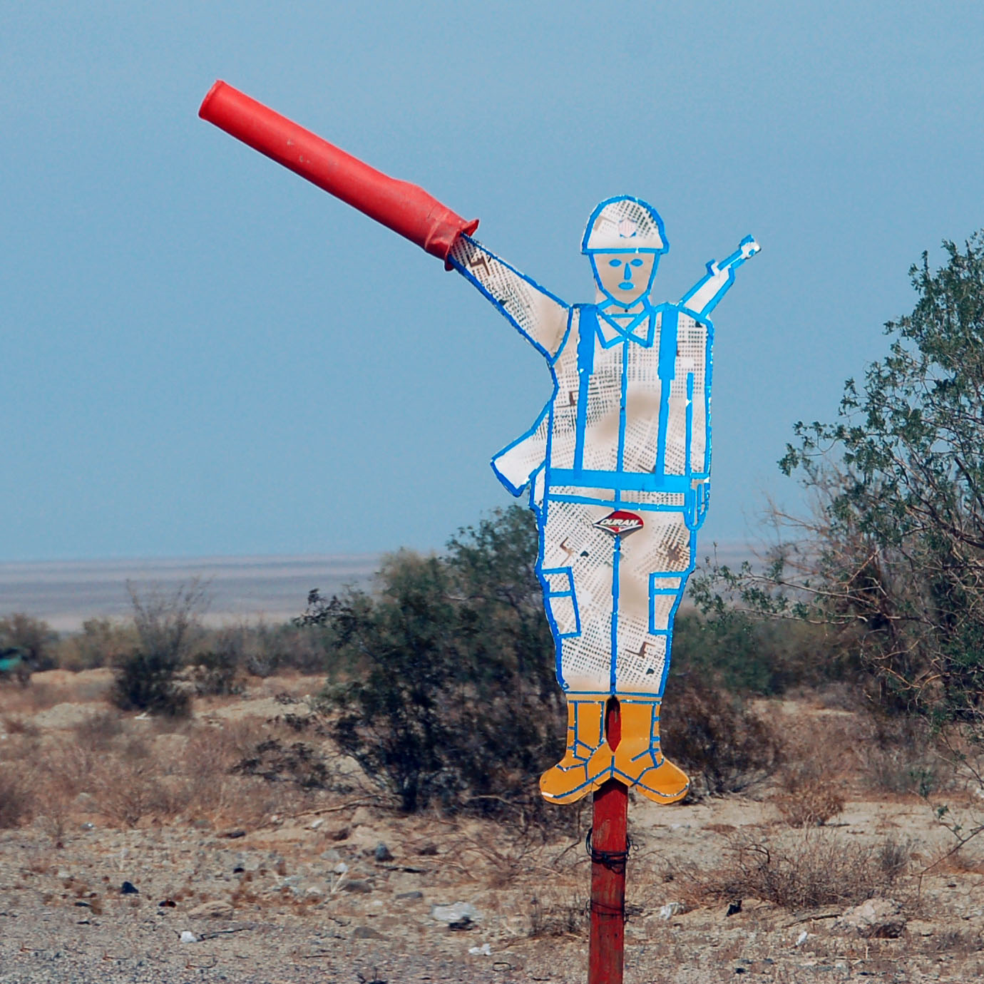
Respect the signs.
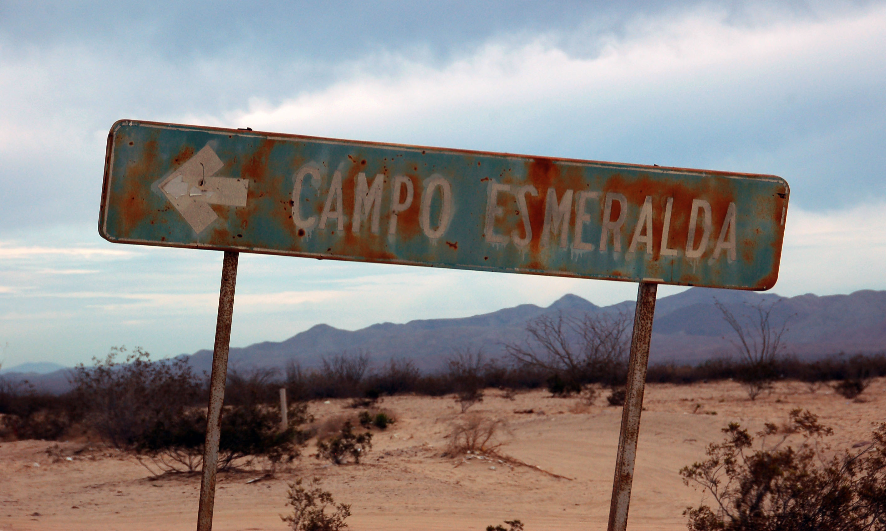
A rusty old sign for Emerald Camp. Highway 5 runs very close to the Gulf of California, and there are a series of dirt roads, each about a mile long, that one can take to camp on the beach. We did not stop here; we camped on the beach much closer to San Felipe.
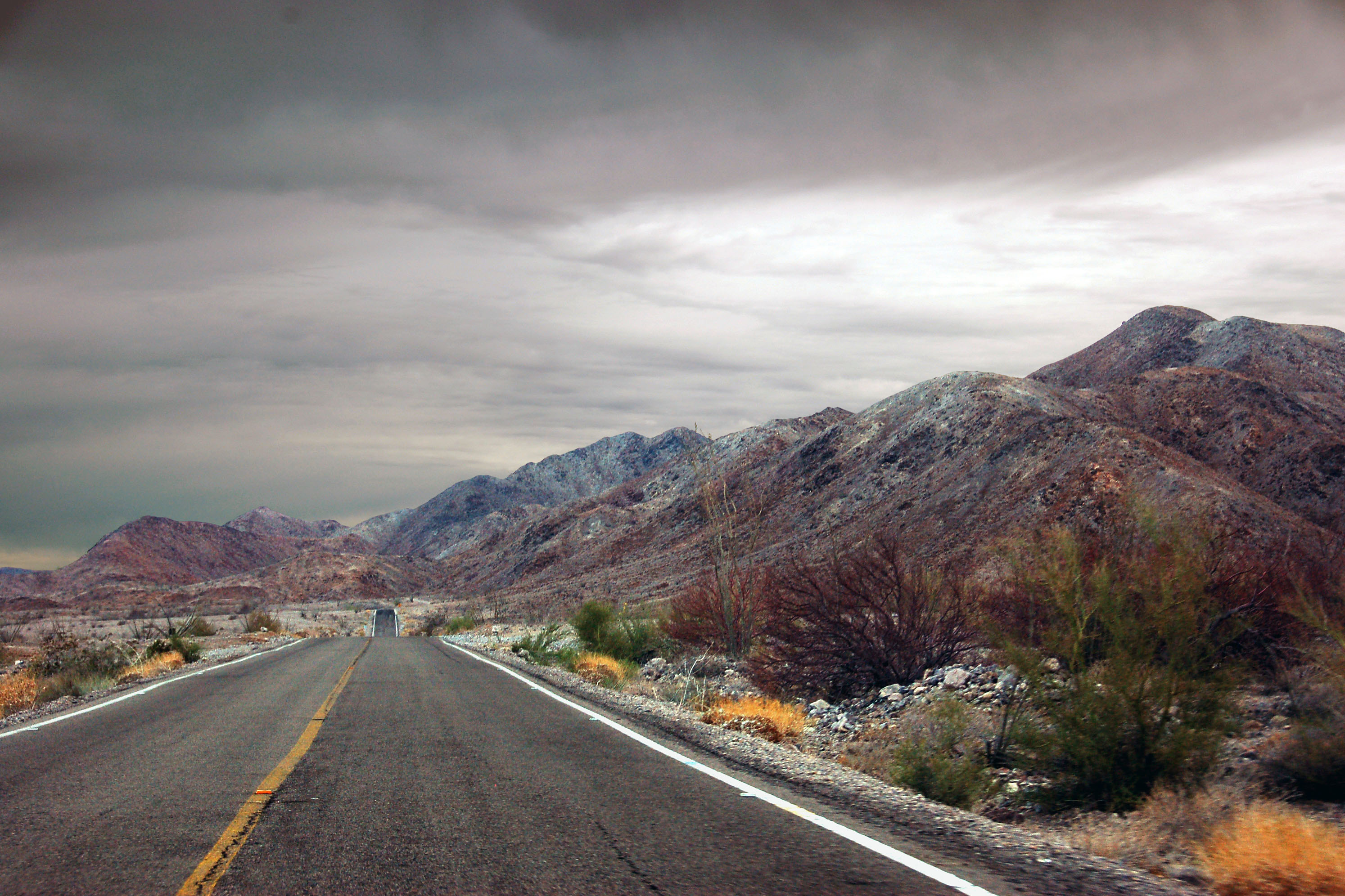
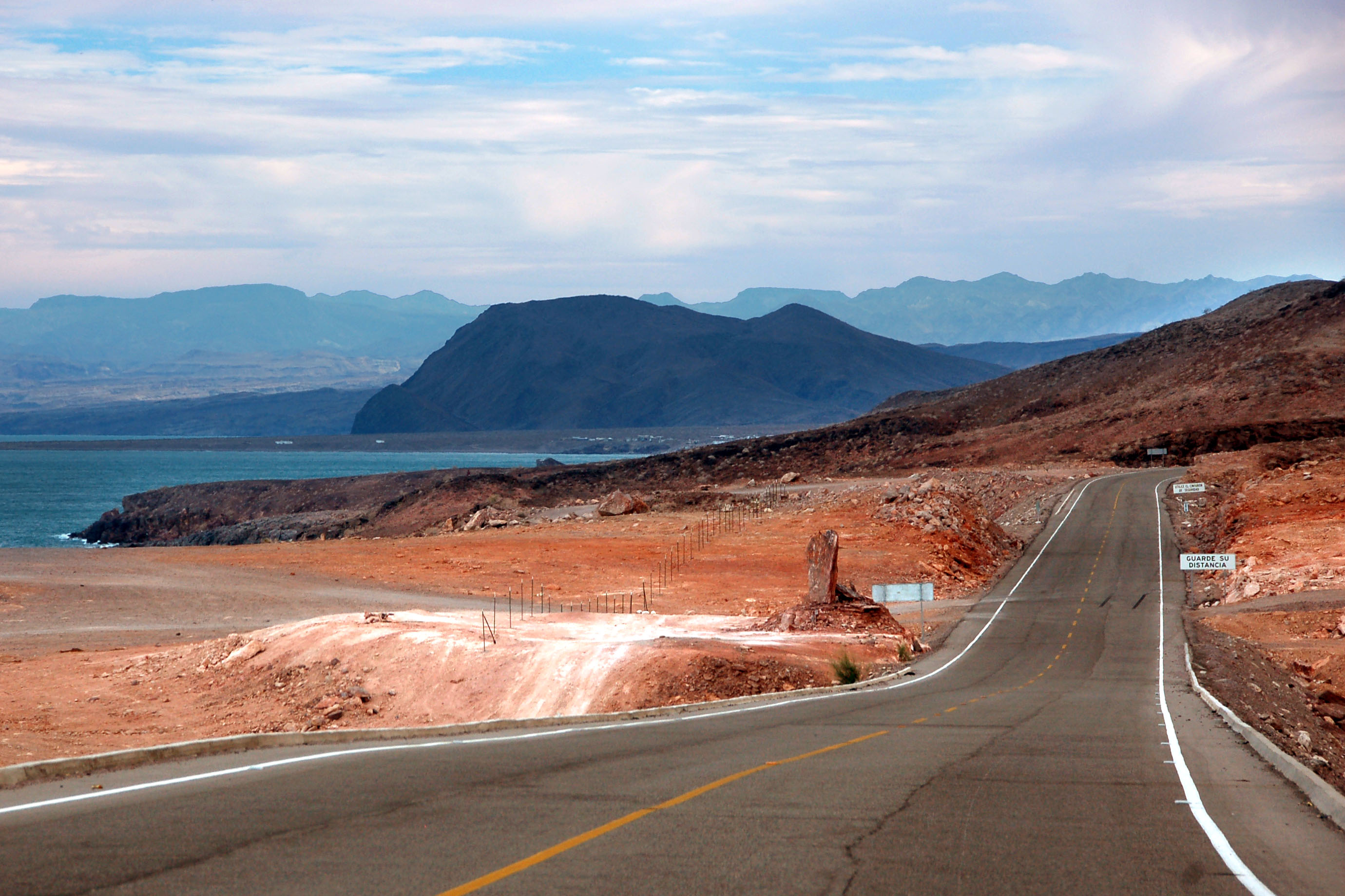
Overcast, as we approach Puertecitos.
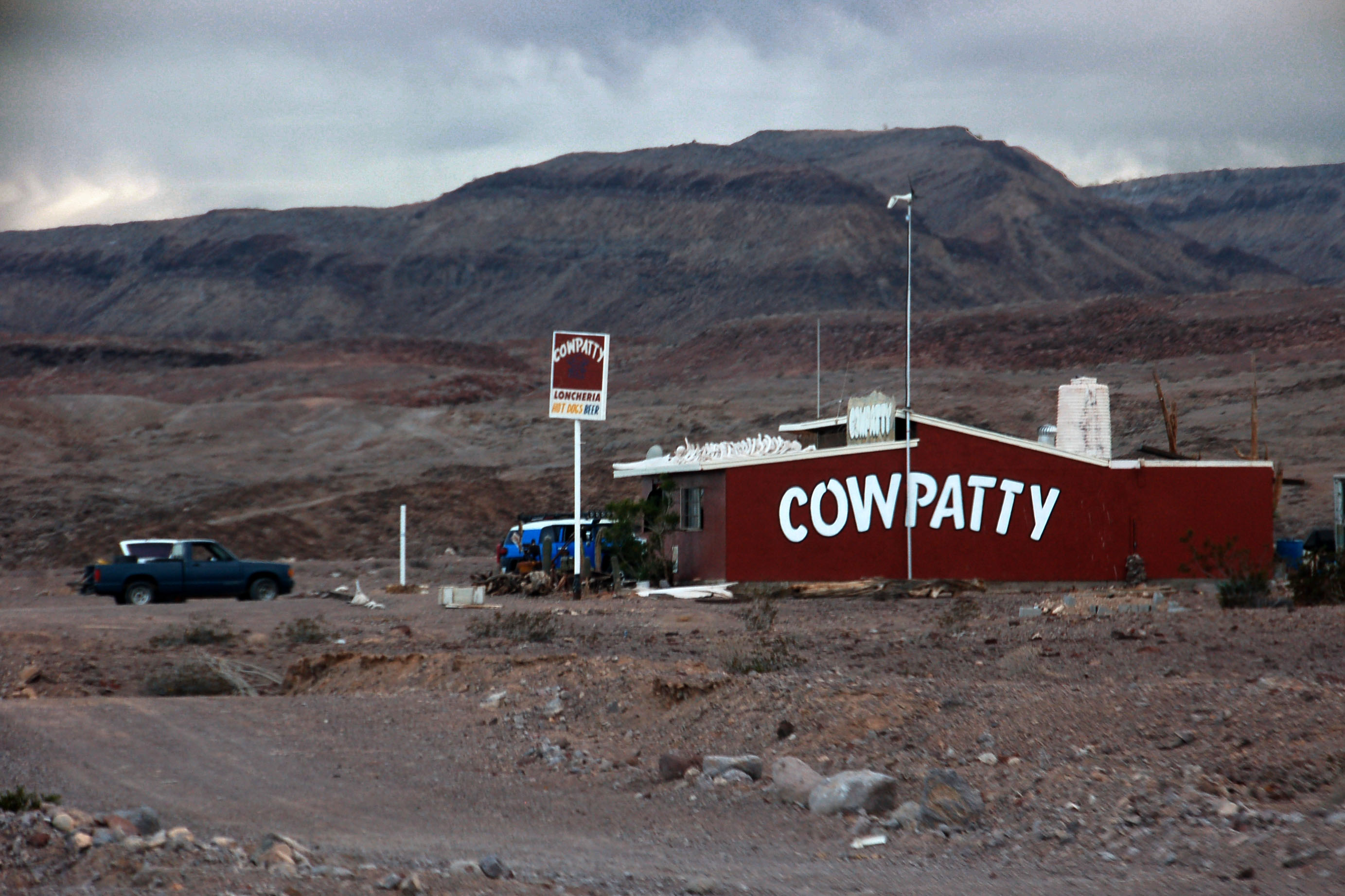
Something must’ve gotten lost in translation…
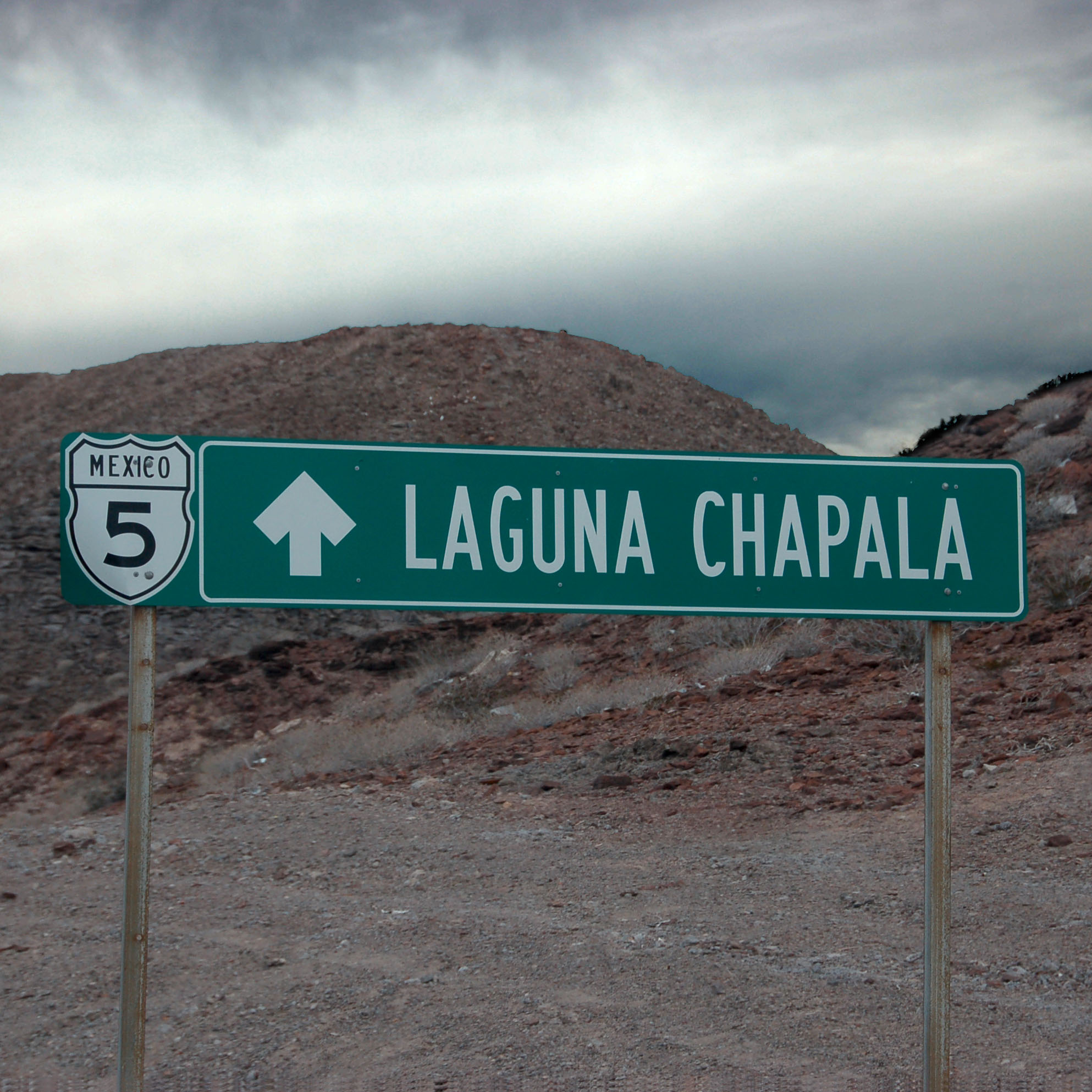
I believe Laguna Chapala is where this road reconnects to highway 1. That’s about 200 kilometers down, and the road stops being highway 5 well before then. If the guide books are to be trusted, it’s a terrible dirt road. Maybe not anymore – no one seems to know!
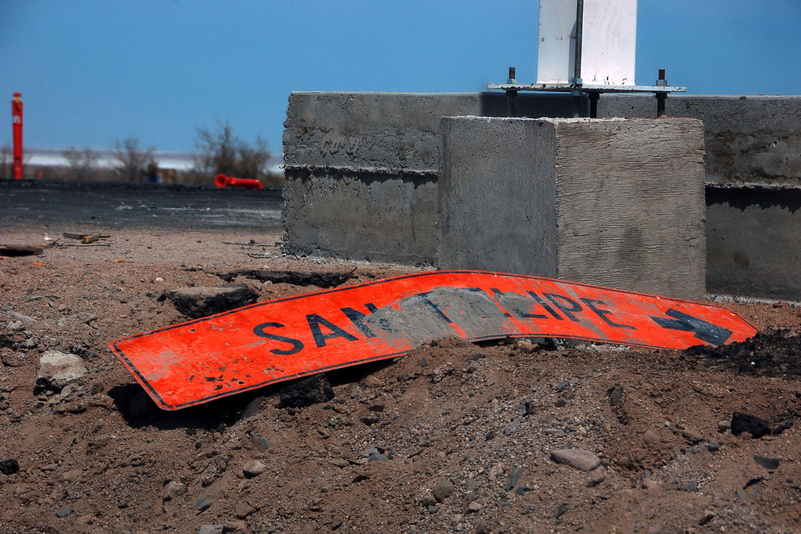
Puertecitos. Looks like they borked every El Huerfanito sign.
About here is where we turned around. We had no idea how long the road would be paved. In fact, when we left San Felipe, we figured we would be forced to turn around well before Puertecitos!
Back north we go, to eat dinner and get some sleep in San Felipe.
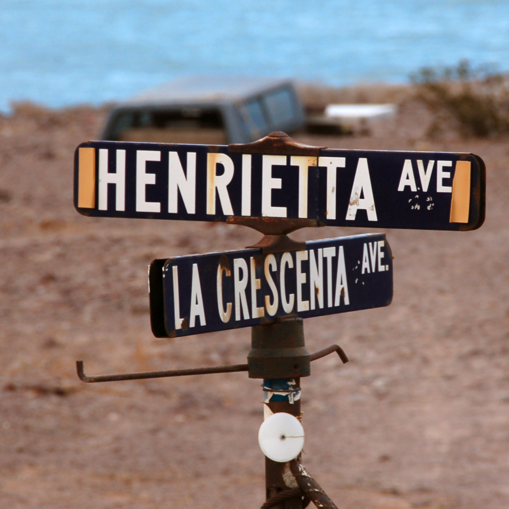
Someone has transplanted this Los Angeles street sign assembly.
Oops, that should be highway 5.
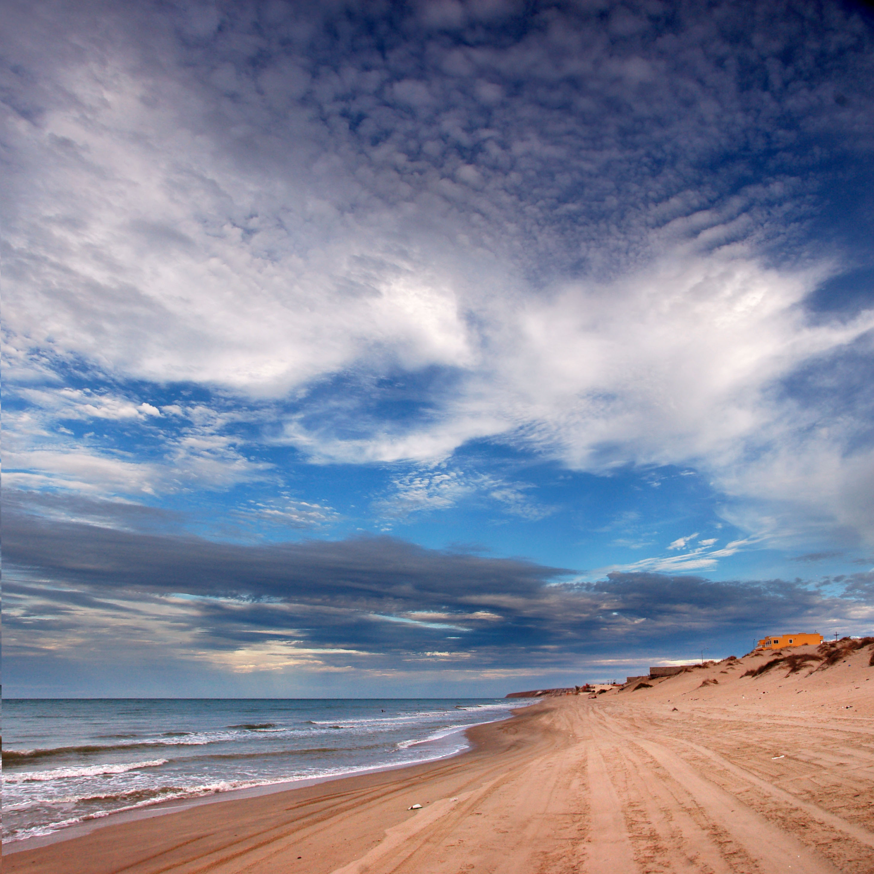
Back in San Felipe, we finally get ourselves down to the water.
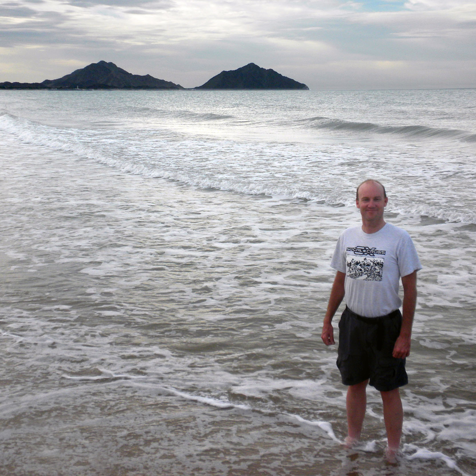
Here’s Mike in the water. The bay is about 75 or 80 degrees at this point in the summer. Very pleasant, especially given that the air is rather humid.
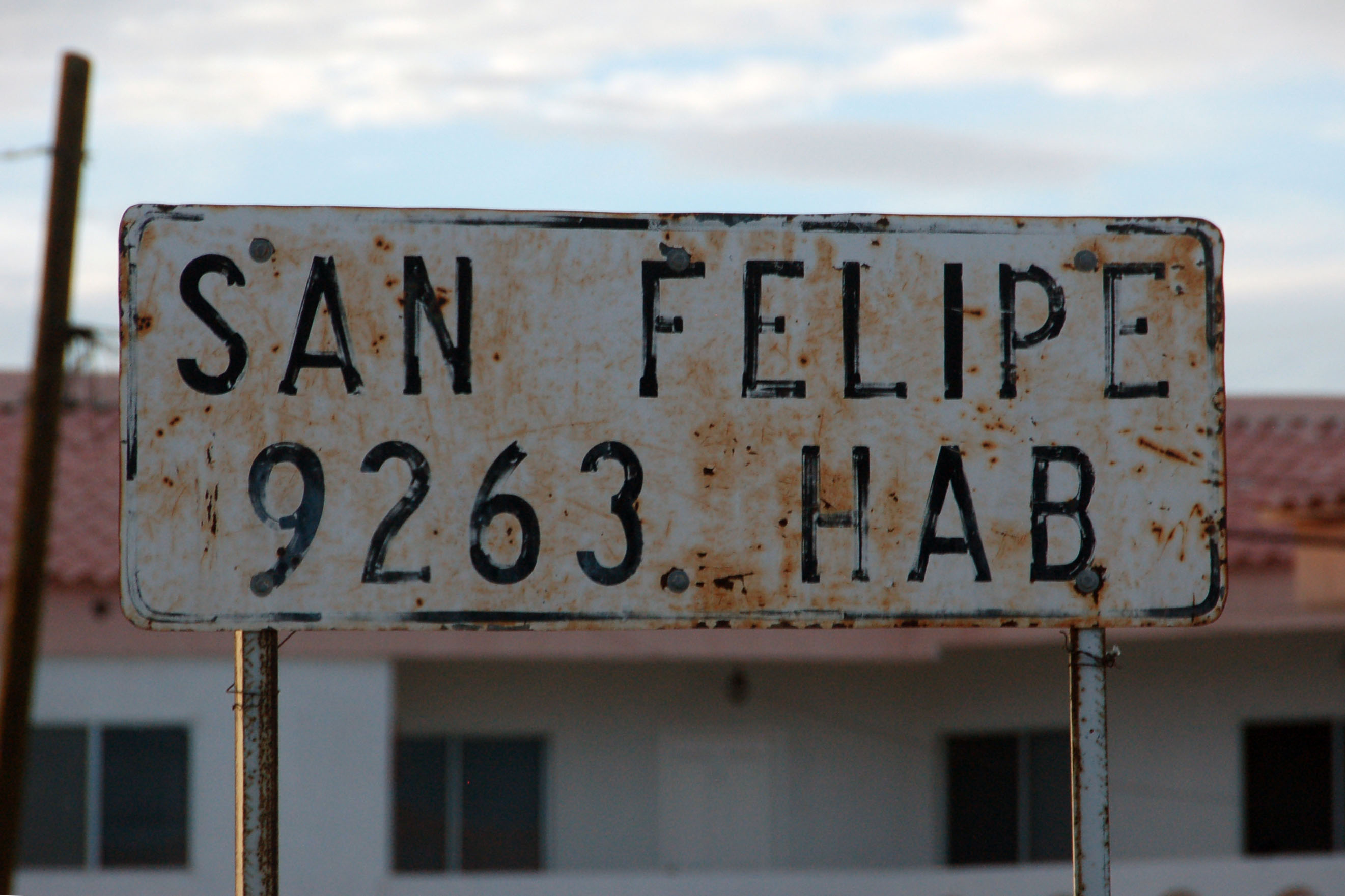
This older sign shows about half the population of the modern one at the north end of town.
That’s all for day one – at this point we had dinner in town, and got some sleep in the car in a campground by the water. Ten bucks. Next day – up at dawn, and head north to San Luis Rio Colorado.
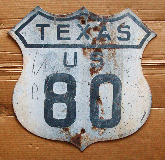
Those are great, especially the 1930s Texas style route marker.
Monterrey has lots of padded zero signs, btw.
take pictures for us! we need more Mexico coverage.
and more Europe. I need to slap Alex around a few times with a tuba.
Going to Northern Mexico these days is a surefire recipe to get dead.
I have a bunch of Europe done, mostly Hungary and Germany. I just need a method (preferably a quick and easy one) of data entry or else just tell me to make the old-style HTML and i’ll do it that way.
certain parts of northern Mexico, yes, bad juju, but in general it’s a great place to visit and I recommend it to people.
If you have no qualms about going to Romania, then Mexico is right up your alley!
re: Europe… need to stab Alex.
About 1992, a friend and I drove my (2-wheel drive, 3 spd automatic)1987 Mazda GLC stationwagon down Mx Rte. 1 to Laguna Chapala then across to San Luis Gonzaga then up the Gulf coast to Puertocitos & home to SD. Although the road north out of Gonzaga was described as 4-wheel drive, we decided to attempt it because we had had excellent success elsewhere (good road clearance, slow & careful going). So, mostly in second gear and at 5-15 mph, we crept along the roadbed that had been blasted out of the rocky hillside for part of the way and made the 35 miles in about 5 hours.
Looking at Google Earth and my Baja topo atlas (which we had used for navigation), it appears that the blacktop has extended a short distance below Playa La Costillo (below Puertocitos)shortly after the road swings inland, and still a bit north of Isla La Huerfanito. You can also that there was (at the date of the GE images) a construction project continuing south (you can see the road building equipment in the Google Earth image). From there, it’s still unpaved but you can see a well-graded new road which the older road winds back & forth across. At one point, there’s a huge south-facing Y where the new & older roads diverge for awhile – we were on the sector to the east; the western sector along here was not accessible to us, don’t recall why, but the older, ridge-top road was far more interesting. The two roads converge again a few miles south, west of a large dry riverbed and still well north of El Huerfanito. My recollection is that the graded road from there on to (or from, for us) San Luis Gonzaga was excellent.
Please correct date to 1992! Thanks.
And correct speed to 5-15 mph depending on where we were – some was true creeping over large loose rocks.
I invite you to come to Chiapas, something similar happens!!!