North America

What’s with Pascagoula anyway?

Speaking of carbon copying signs, perhaps it is about time that Interstate 10 guide signs in Mobile County, Alabama reflect Biloxi and/or New Orleans? Pascagoula made sense when Interstate 10 was originally built, because the freeway defaulted onto U.S. 90 at the state line for many years before Mississippi completed its portion. Nowadays, Pascagoula makes little sense, as Interstate 10 travels through Moss Point, Pascagoula's neighbor to the north, and U.S. 90, [...]

By |2018-01-18T15:20:48-05:00January 13th, 2009|Alabama, Interstate Highways, Louisiana, Mississippi|10 Comments

Time to Carbon Copy more Signs!

Every time I see a Wilmington News Journal sign tidbit such as today's http://www.delawareonline.com/article/20090112/NEWS/90112006/-1/updates?GID=C1R9A4E9Z/HpnFG4+iSdxRnJNbSThsoydRJACoK+G9I%3D, I know that DelDOT is yet again carbon copying signs that usually don't need replacing in their current form (but should be updated to reflect new information, which they will not be). All the while the state budget continues to run at a deficit and the economic recession continues to worsen: Work on overhead traffic signs [...]

By |2018-01-18T15:20:48-05:00January 12th, 2009|Delaware|3 Comments

Road news from Navarre

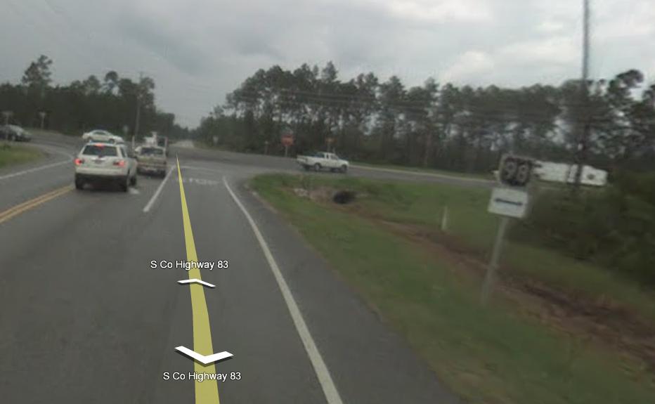
Just some road news from the Navarre neck of the woods... U.S. 98 to Change December 19, 2008 Several safety upgrades to U.S. 98 at Mustang and Coral streets in Navarre, will be made in the new year, according to the Santa Rosa County Engineering Department. Santa Rosa County spokeswoman Joy Tsubooka said Improvements include closing the median opening on U.S. 98 at Mustang Street; removing the U.S. 98 westbound [...]

By |2018-01-17T14:57:55-05:00December 19th, 2008|Florida|Comments Off on Road news from Navarre

Virtual Roadding 2.0

Photo taken 12/13/08 Well, the masterminds over at Google Maps have done it again. Upon going on Google Maps on Monday night, it was discovered that one of their features, Street View, has been drastically modified. First off, Street View can now take up your entire screen, whereas the previous version displayed it in a pop-up window. Second, there is now more extensive coverage, especially in rural [...]

By |2018-01-17T14:58:15-05:00December 17th, 2008|Florida, Maps, U. S. Highways|5 Comments

New sign gantries for I-384

I-384 westbound Exit 2 This is a new sign gantry for eastbound I-384 exit 2. I'm not quite sure why Conn DOT elected to replace the old one seeing as it was not damaged and completely functional. The other part about this seemingly preemptive replacement is that there are other signs throughout the state that could be updated first. Here's what the old one looked like: [...]

By |2018-01-17T14:59:02-05:00December 7th, 2008|Connecticut, Interstate Highways|5 Comments

Two years more in the making, Interstate 485 grows again

Barricades were removed on the latest stretch of Interstate 485 to open for motorists in the northern Charlotte area yesterday. What was expected to be completed in March 2007 opened without any fanfare by midday between North Carolina 16 (Brookshire Boulevard) and Interstate 77 / North Carolina 115 (Old Statesville Road). The 5.5 mile stretch completes the northwest quadrant of the Charlotte beltway, leaving the unconstructed northeast quadrant as the [...]

By |2018-01-18T15:20:48-05:00December 6th, 2008|Interstate Highways, North Carolina|Comments Off on Two years more in the making, Interstate 485 grows again

Final stretch of Pine Island Road widening on fast track?

There has been renewed interest in expediting the widening of the final stretch of Pine Island Road (SR 78) in Cape Coral, Florida. State representative Gary Aubuchon plans to reintroduce a bill during next springs legislative session that would allow the city of Cape Coral to proceed with construction of the remaining piece of two lane road lies between the Burnt Store Road/Veterans Memorial Parkway intersection and Chiquita Boulevard intersection. [...]

By |2018-01-17T14:59:49-05:00November 30th, 2008|Florida|Comments Off on Final stretch of Pine Island Road widening on fast track?

Expanding and Extending Interstate 15’s Managed Lanes

Expansion along Interstate 15 within San Diego County continues in the form of widened Managed or HOT Lanes both in capacity and in length. The freeway project entails the freeway from the merge with California 163 (Cabrillo Freeway) northward to junction California 78. Upon completion, Interstate 15 will vary between 12 and 14 overall lanes. Looking northward at the Poway Road off-ramp, the current one-way two-lane Managed Lanes [...]

By |2018-01-18T15:20:48-05:00November 30th, 2008|California, Interstate Highways|Comments Off on Expanding and Extending Interstate 15’s Managed Lanes

Its Legacy (Parkway) has begun

Opened September 13, 2008, the Legacy Parkway (Utah 67) represents a new freeway-level roadway from Interstate 215 in North Salt Lake to Interstate 15 & U.S. 89 in Farmington. The road was a 12-year project in the making, and features aesethic aspects to enhance the experience of its drivers. Interstate 15 enters the interchange with U.S. 89 south and Legacy Parkway south of their respective ramps with Park [...]

By |2018-01-18T15:20:49-05:00October 27th, 2008|Utah|2 Comments

The Stars will no longer fall on Alabama in 2009

Governor Bob Riley introduced Alabama's new general issue license plate design for 2009. Designed by the Department of Tourism, the new look features a beach scene, inspired by the coastal areas of Baldwin County and perhaps Dauphin Island. These tags will phase out the "Stars Fell On Alabama" series issued since 2002. Alabama, like many other states, changes the general issue license plate every 5 years. Read more about the [...]

By |2018-01-18T15:20:49-05:00October 22nd, 2008|Alabama|1 Comment
Go to Top