
Time for some photos from my trip from San Diego to eastern New Mexico and back, in November 2008. This batch is from the first day of my trip, and is heavily centered around Utah. Specifically: highway 95 in southeast Utah, crossing the Colorado River in red rock country.

The only button copy sign in Nevada. This one is very, very old.
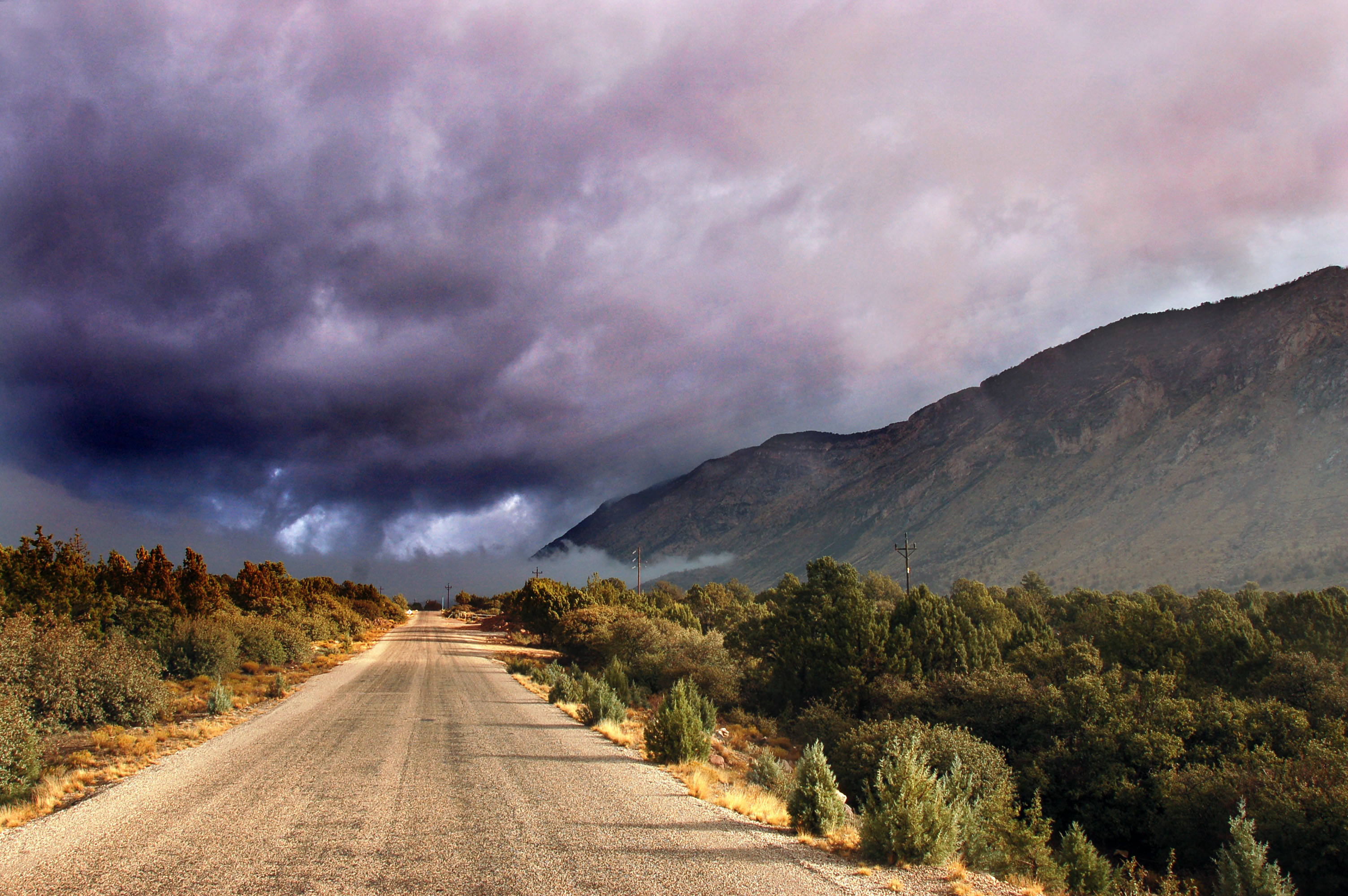
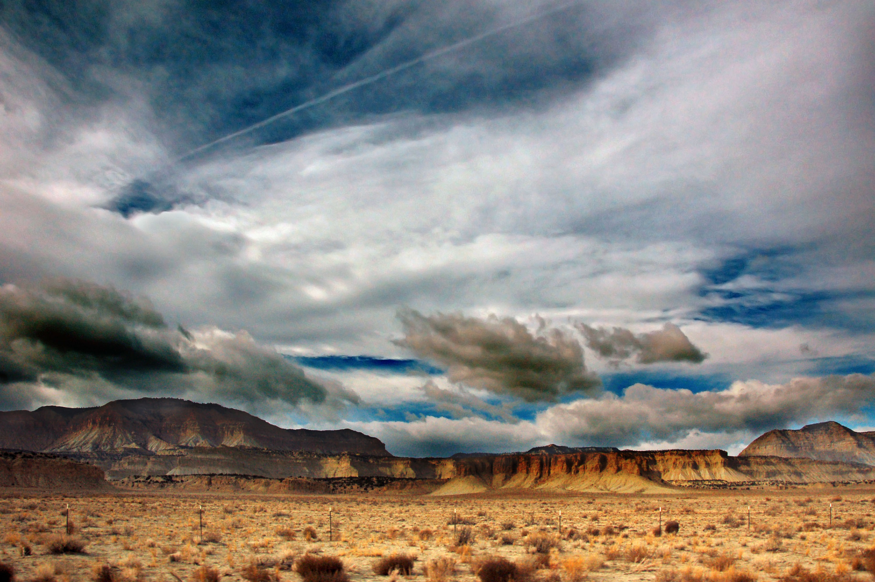
Ominous clouds over old US-91 in southern Utah.
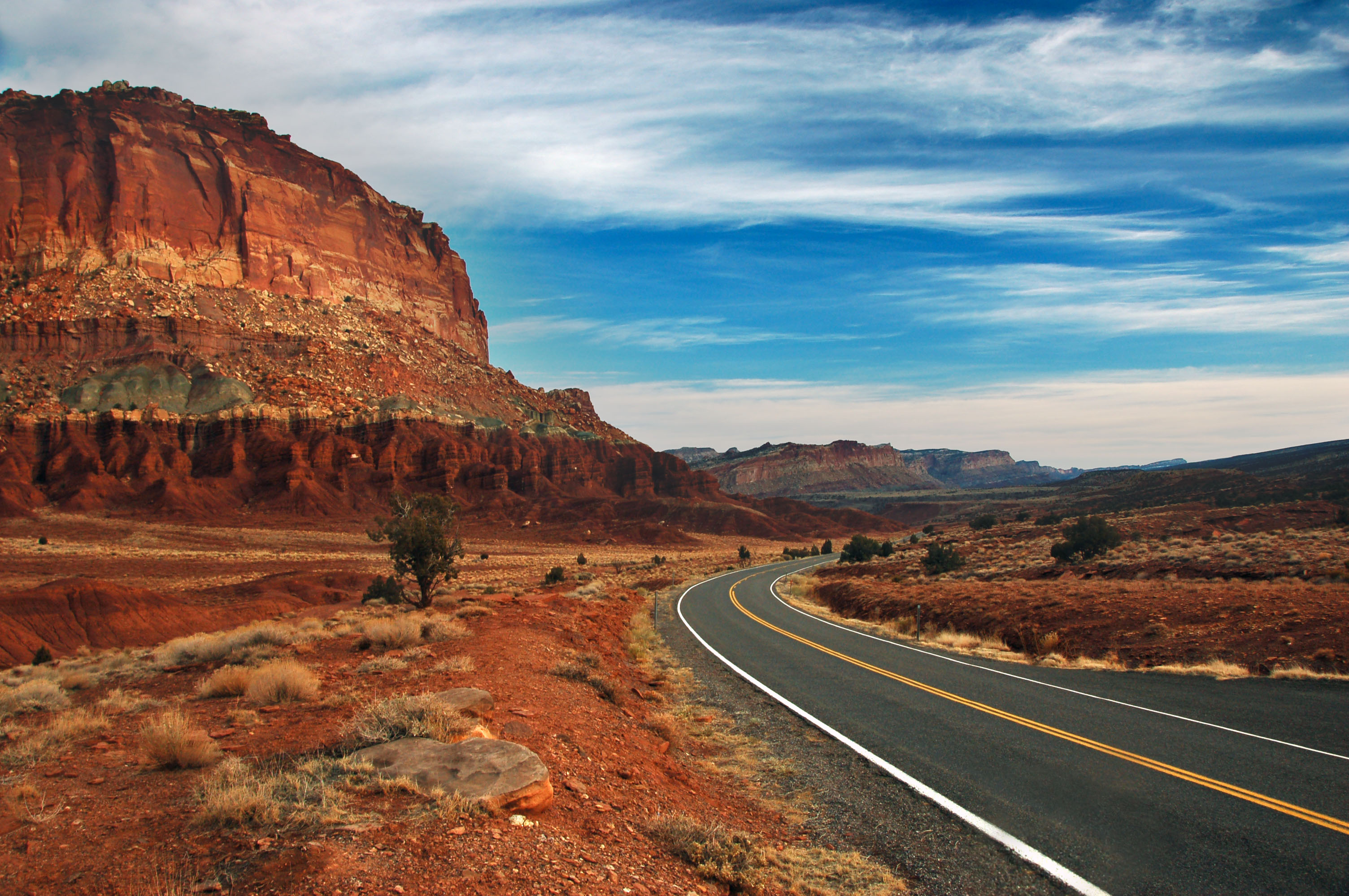
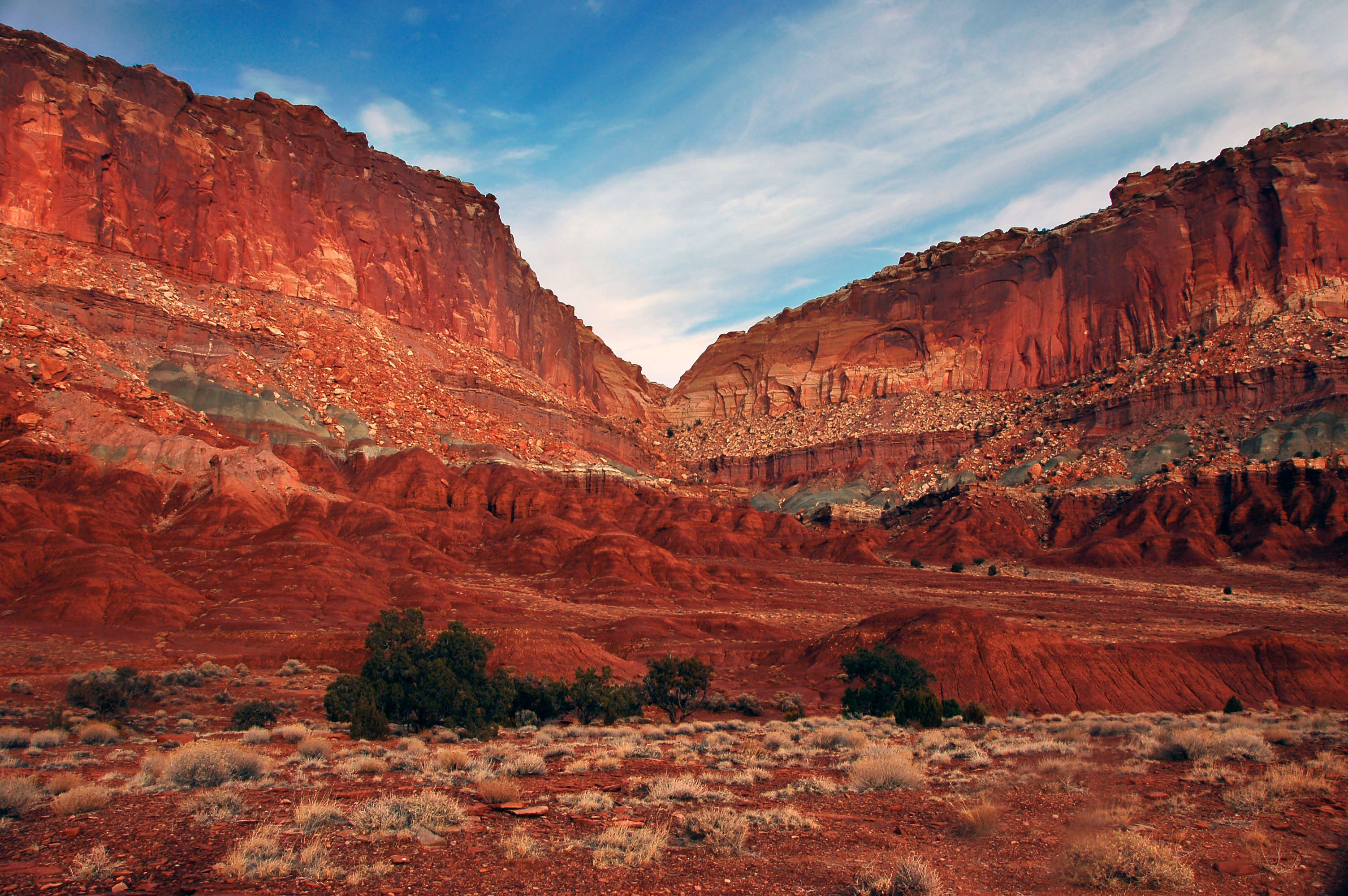
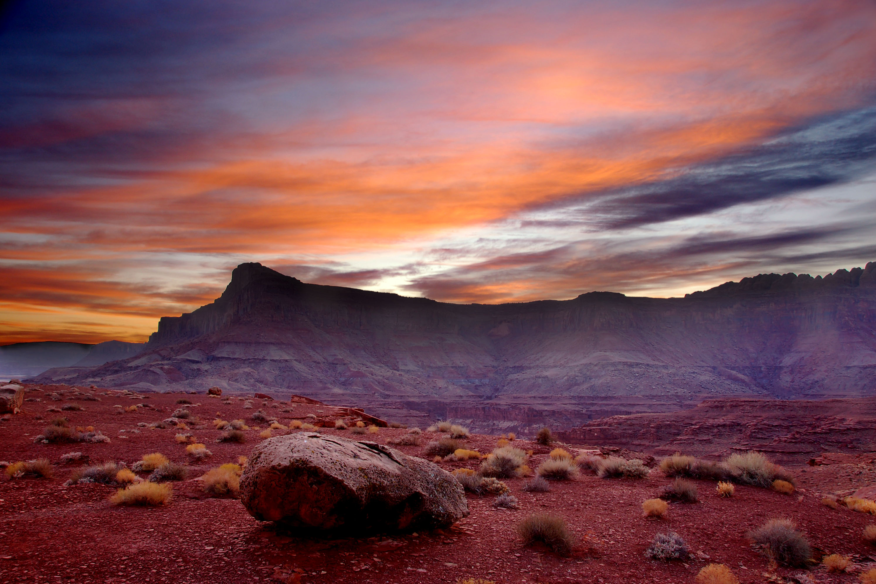
Red rock country. Utah, everybody.
Highway 95 at sunset.

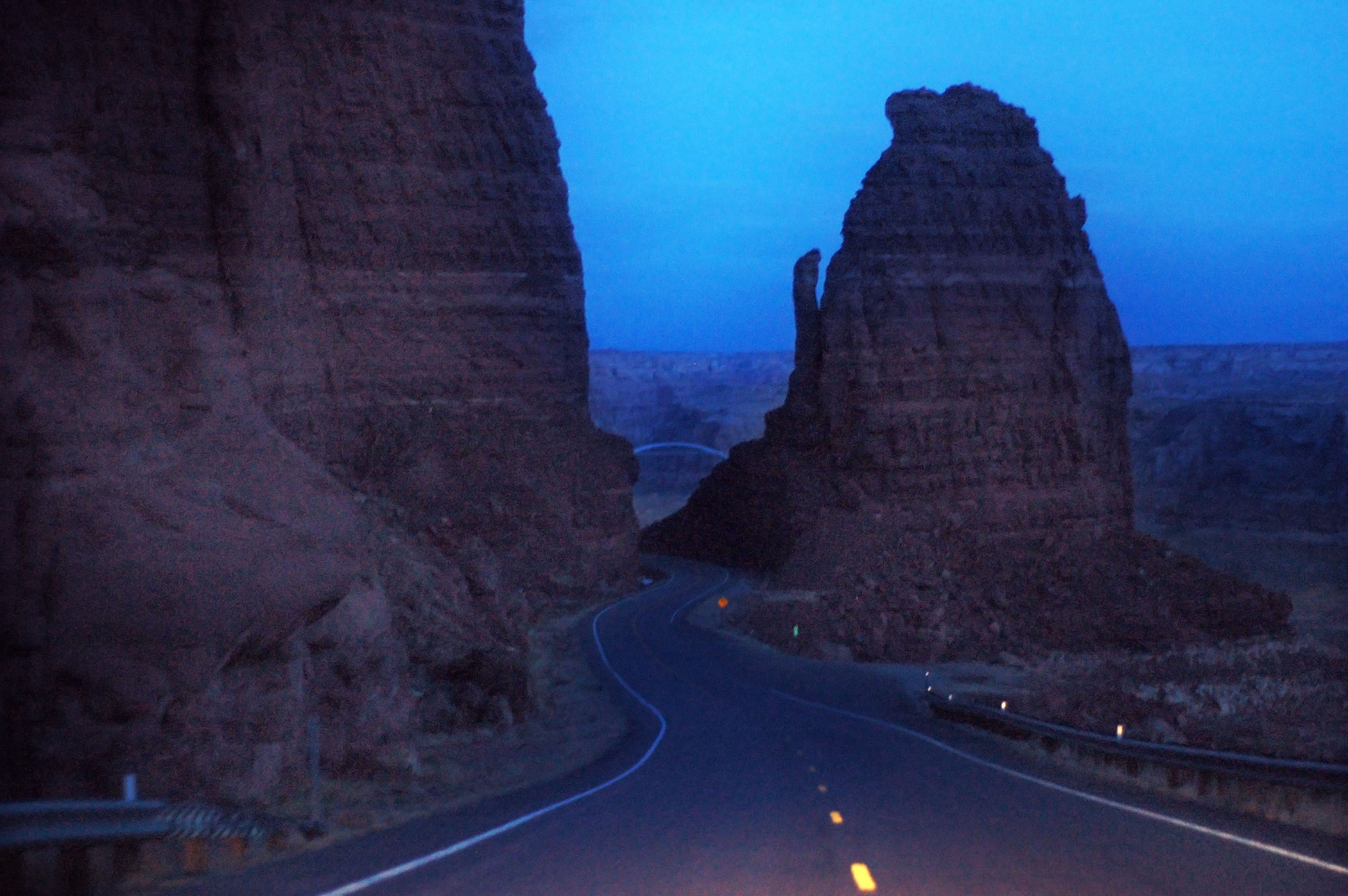
Highway 95 somewhat past sunset. This wide-angle shot (about 140 degrees field of view!) is made possible by a fisheye lens and a rectilinear conversion tool. Large version of image is 7000 pixels wide!
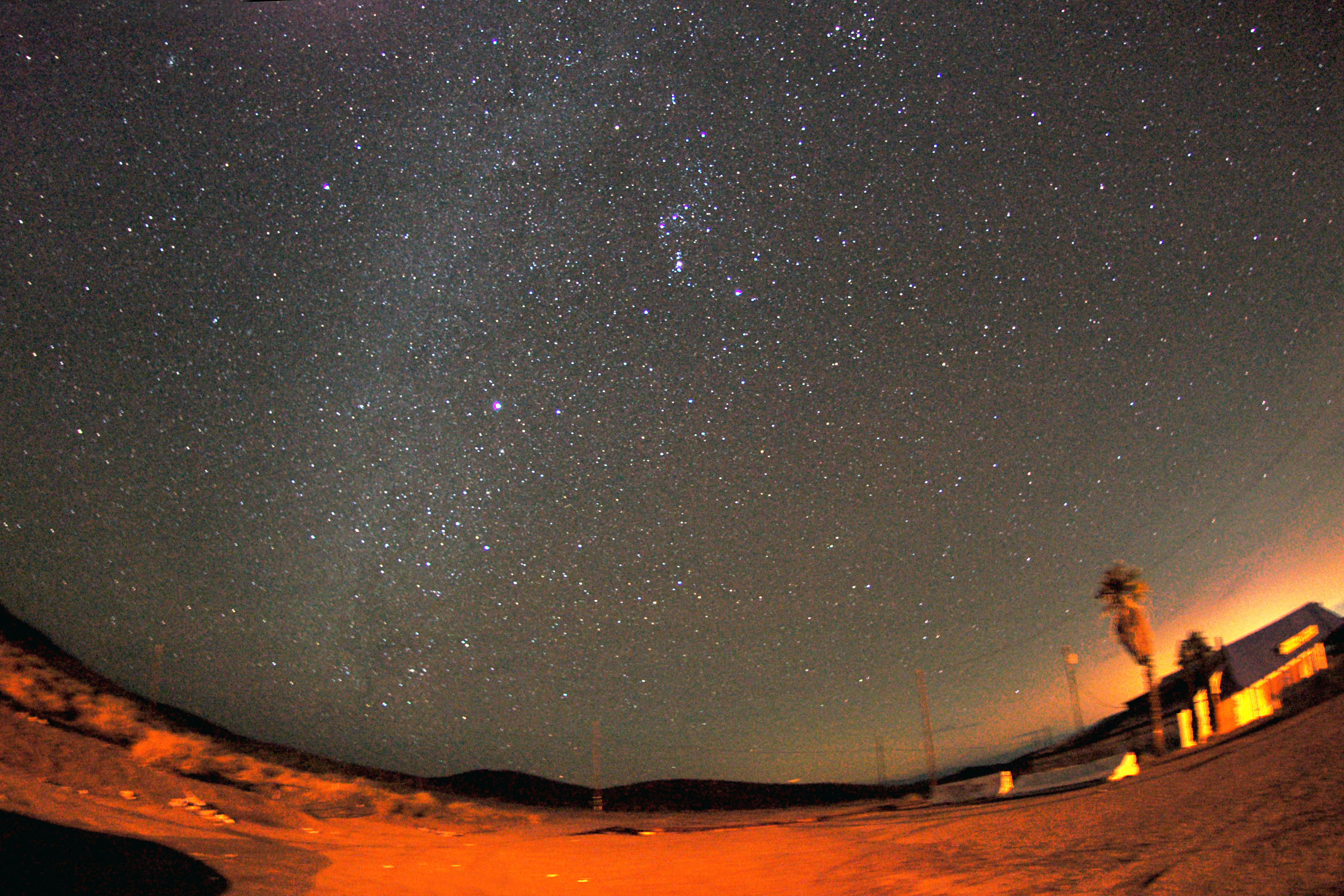
On top of the creatively named Mountain Pass between southern California and Las Vegas, just north of Baker. Don’t mind the foreground – I combined several exposures and kept the stars in place.
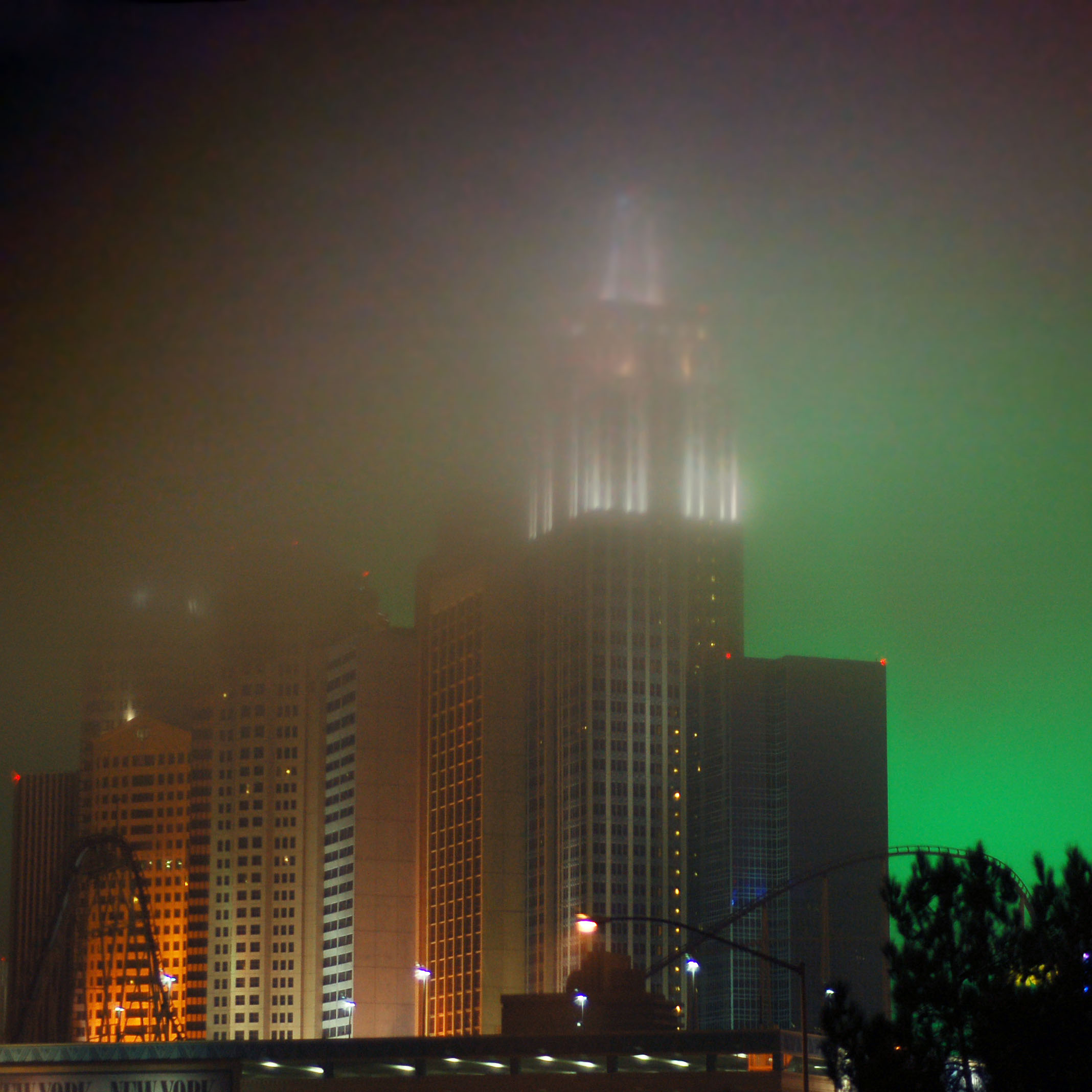
Las Vegas under the fog.
How old is the button copy sign? That’s a scraped off US-91 shield on the back of the sign! There’s a 466 on the other side, and you can go here to see some actually clear (daytime!) photos of the shields. US-91 was gone by 1974, US-466 by 1971 … and that style of sign dates back to before 1963!
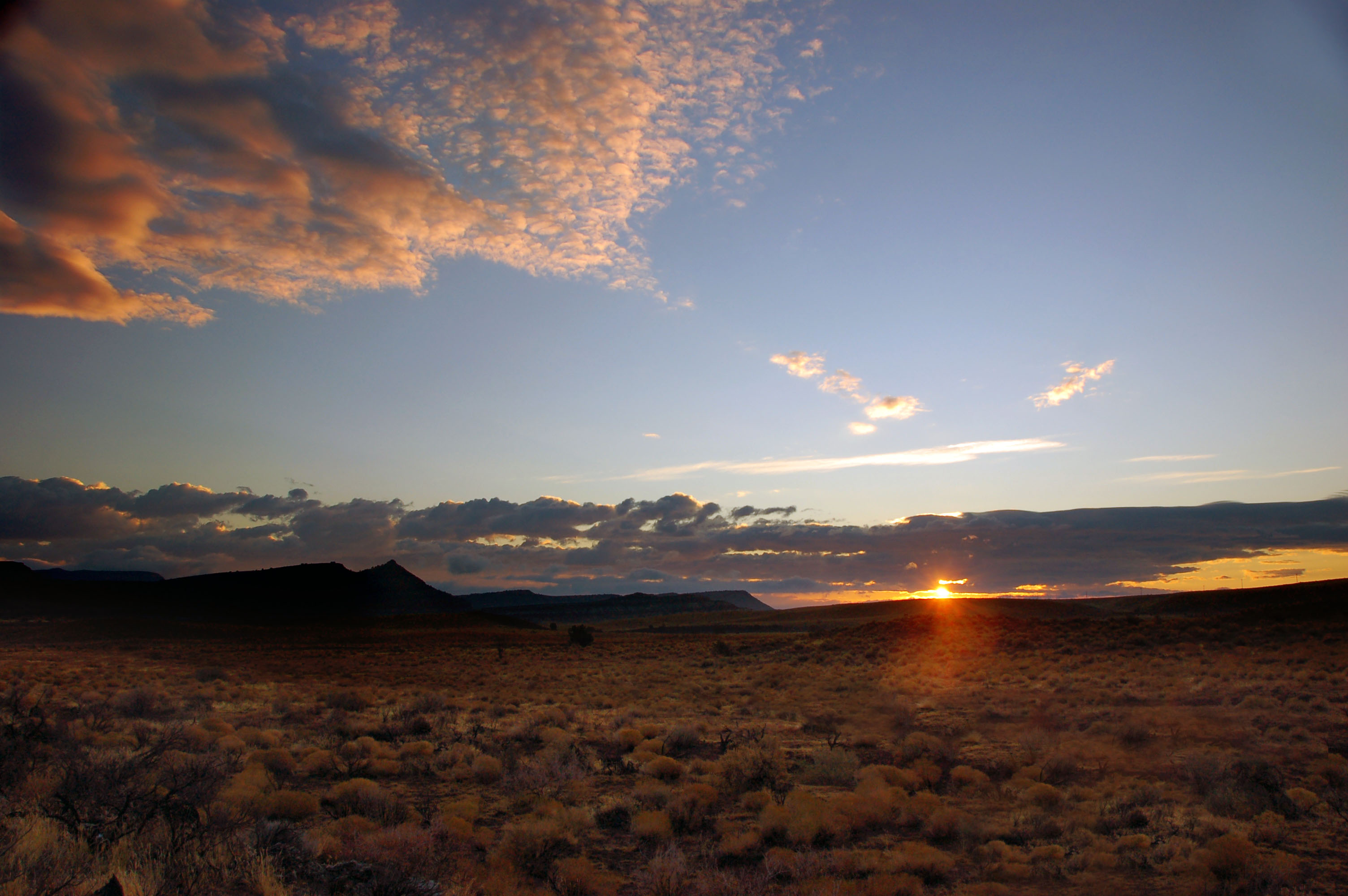
Sunrise, somewhere in southern Utah on old US-91.
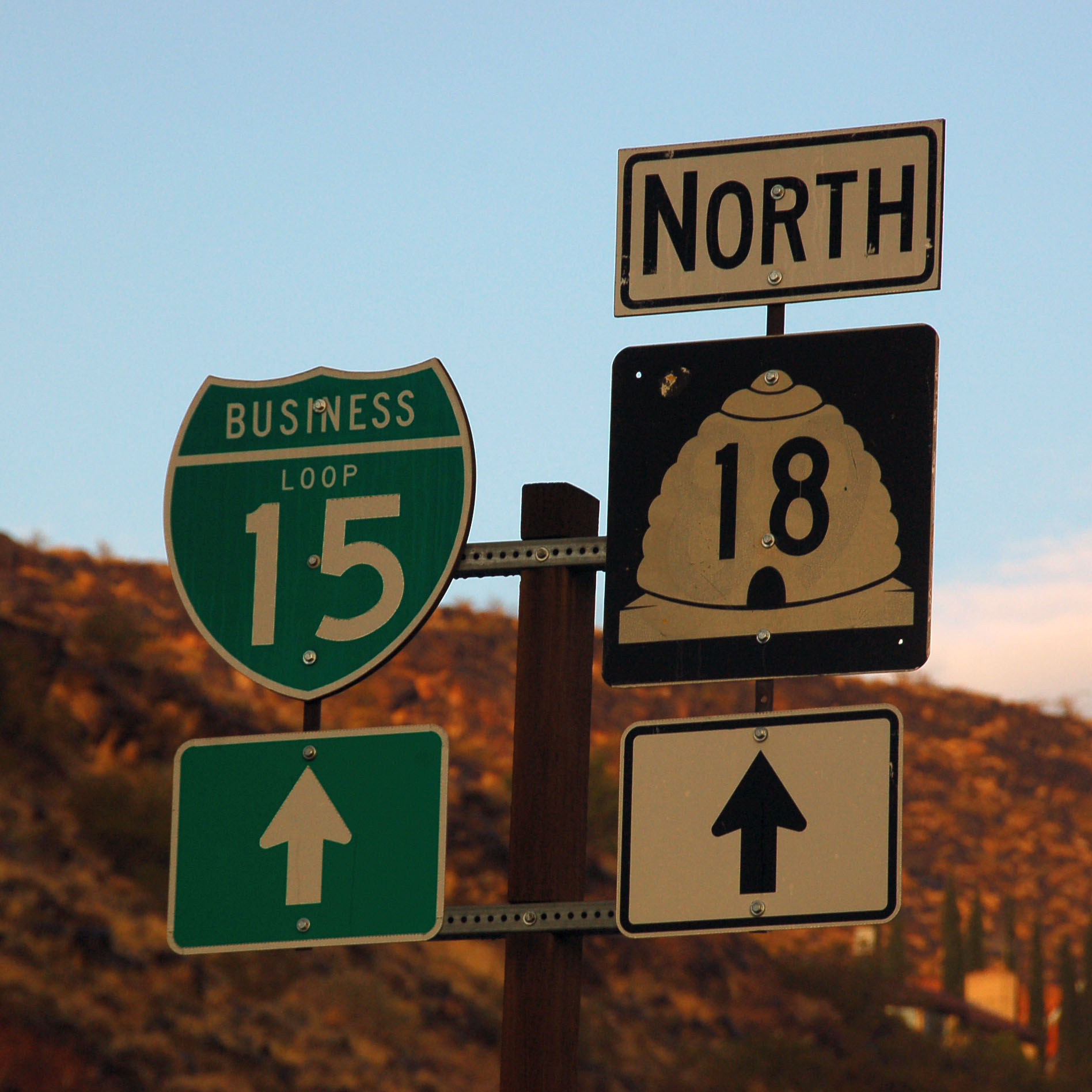
The business loop in St. George.

Unlike Nevada, Utah is filled with button copy signs.

Do not get eaten by cows.
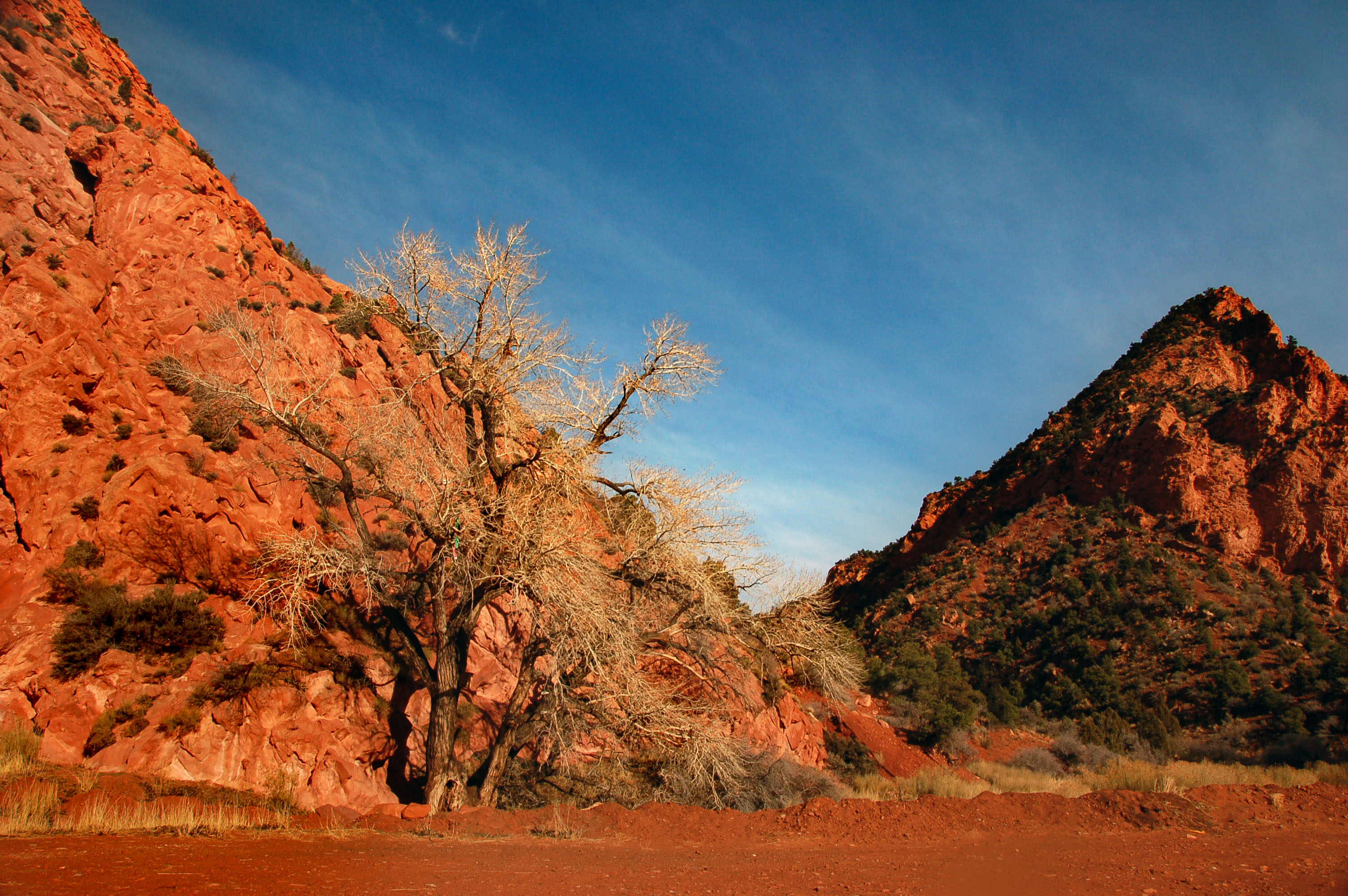
Red rocks on Utah state highway 14, heading east from Cedar City.
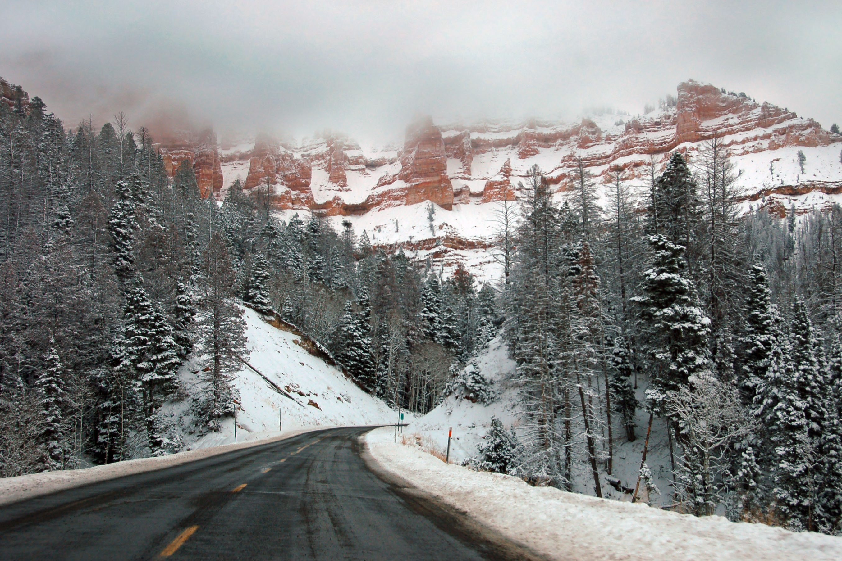
What’s this, we’re driving into a snowstorm?
Turning north onto highway 143, and looking back west at the one remaining patch of clear sky.

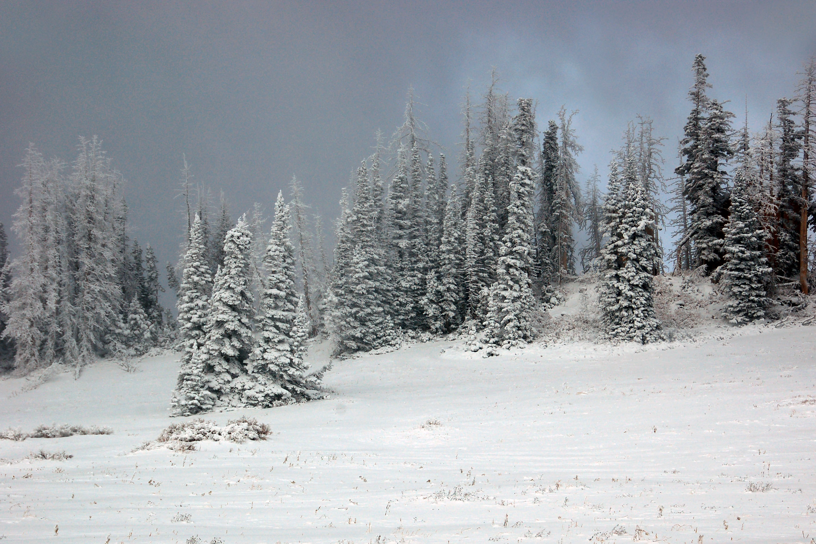
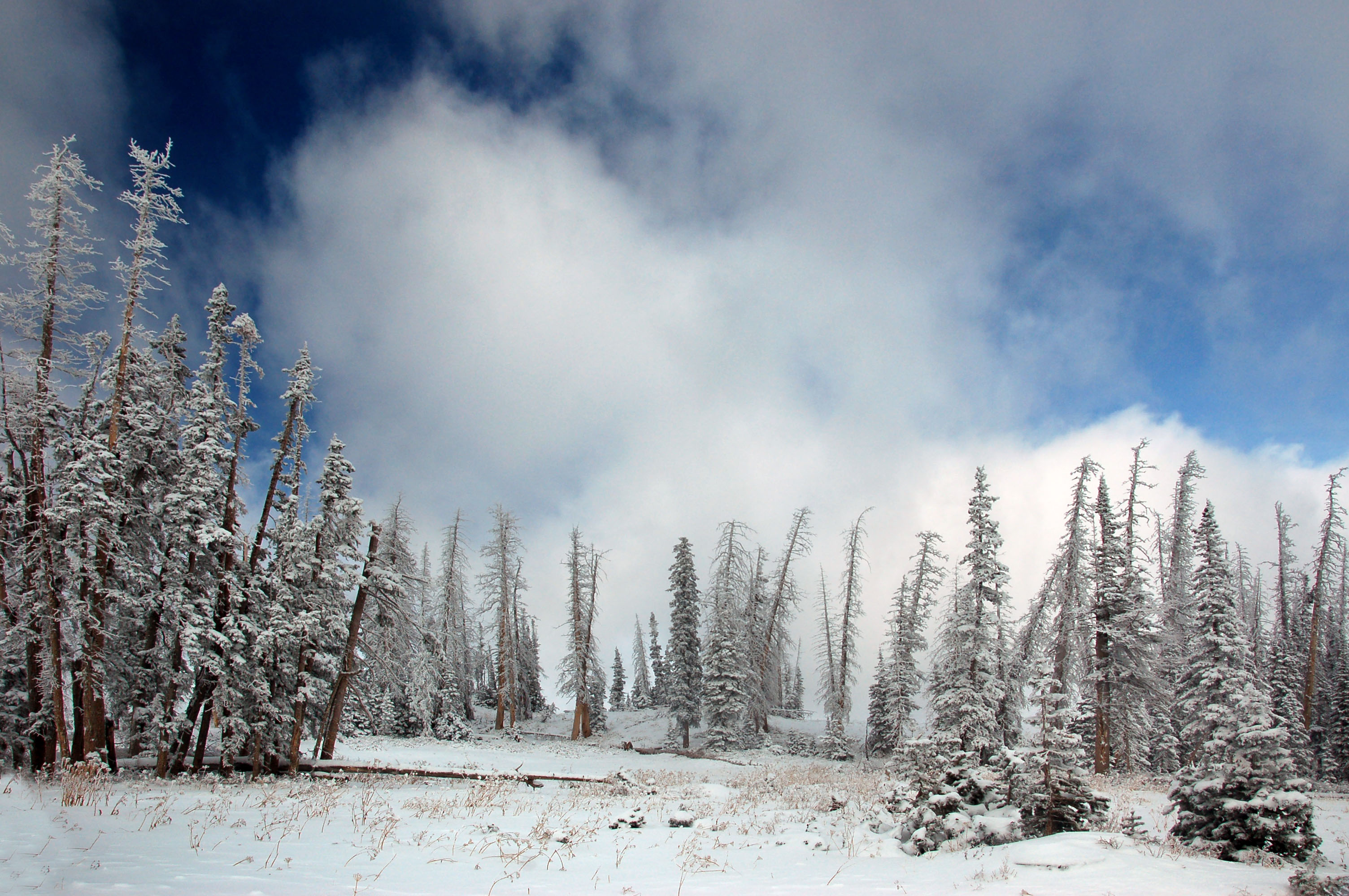
About to hit the top of the pass (10420 feet). And yes, I did make this photo black-and-white. It wasn’t quite that gray out – but it was close!
Just about at the pass.
And coming down now.

There’s really no place to pull over to take pictures, so I employed the Norwegian technique of just stopping in a lane and figuring people are smart enough to go around.
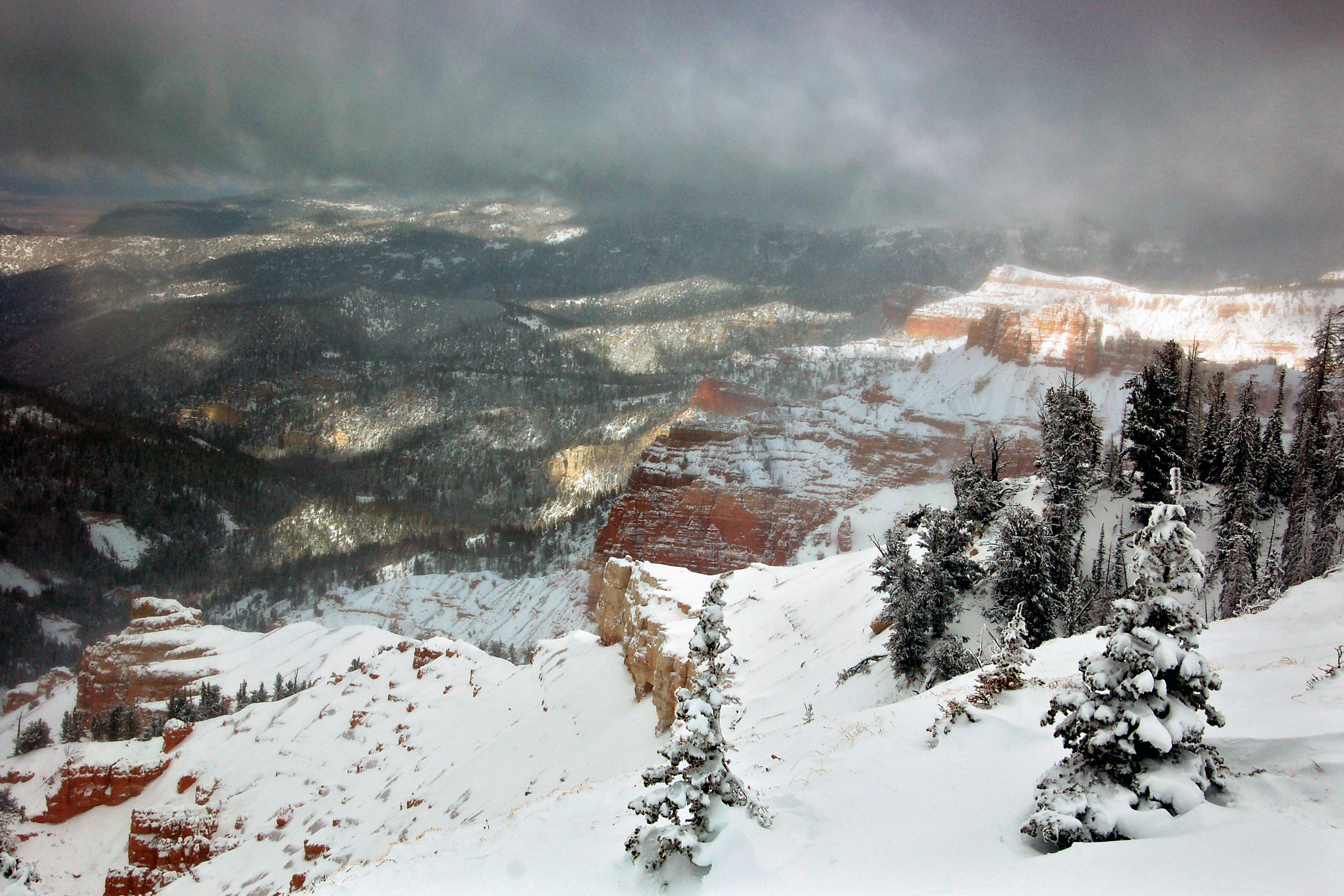
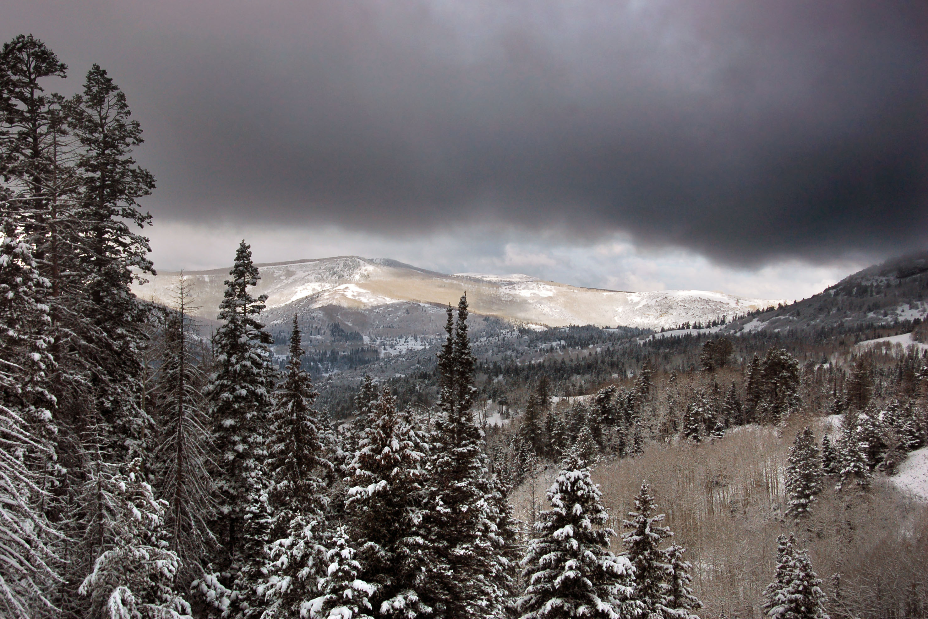
Definitely a view worth stopping for.
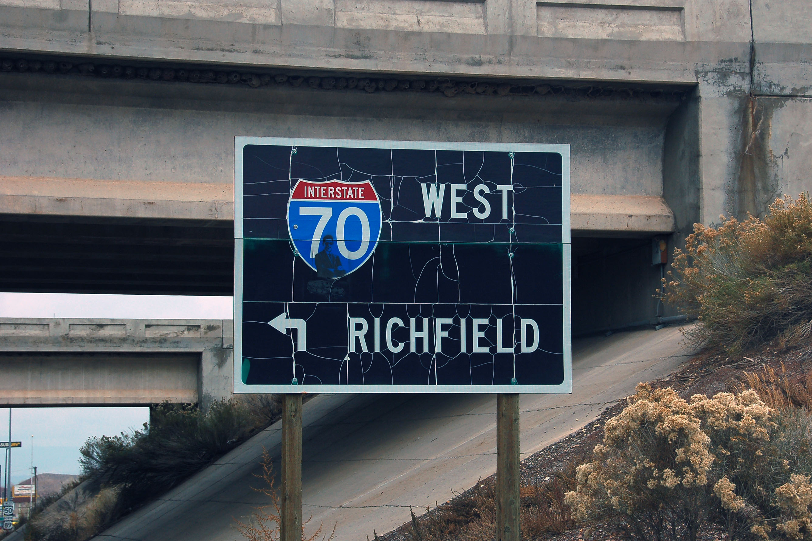
This may very well be the oldest interstate shield in Utah … and alas, it lacks the state name. There are none left with the state name, unless you count two in Salt Lake City that have been covered up.
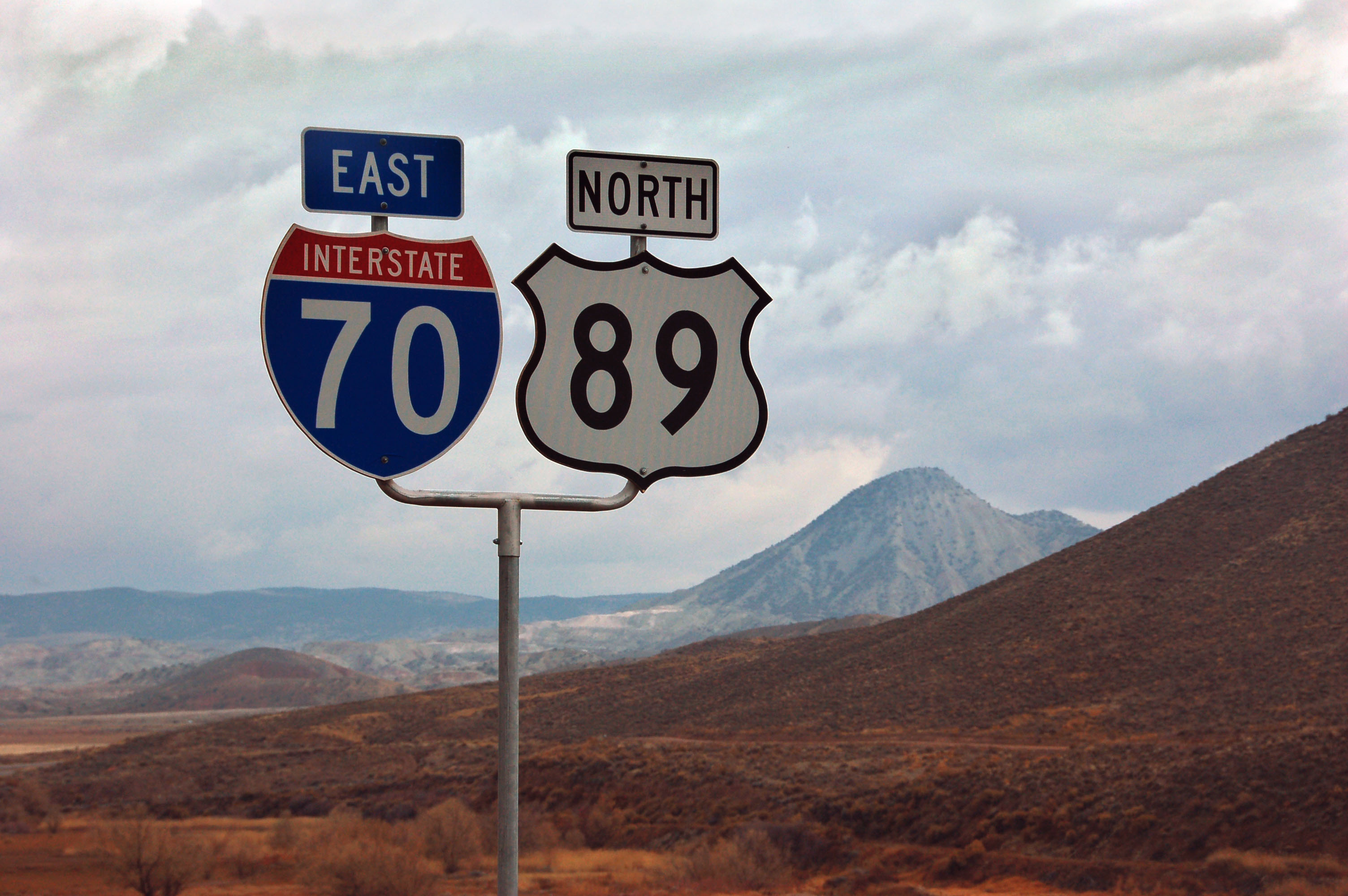
Some cutout shields intended for green sign use made it onto poles on the 70/89 multiplex.
All the green has fallen off of this sign.

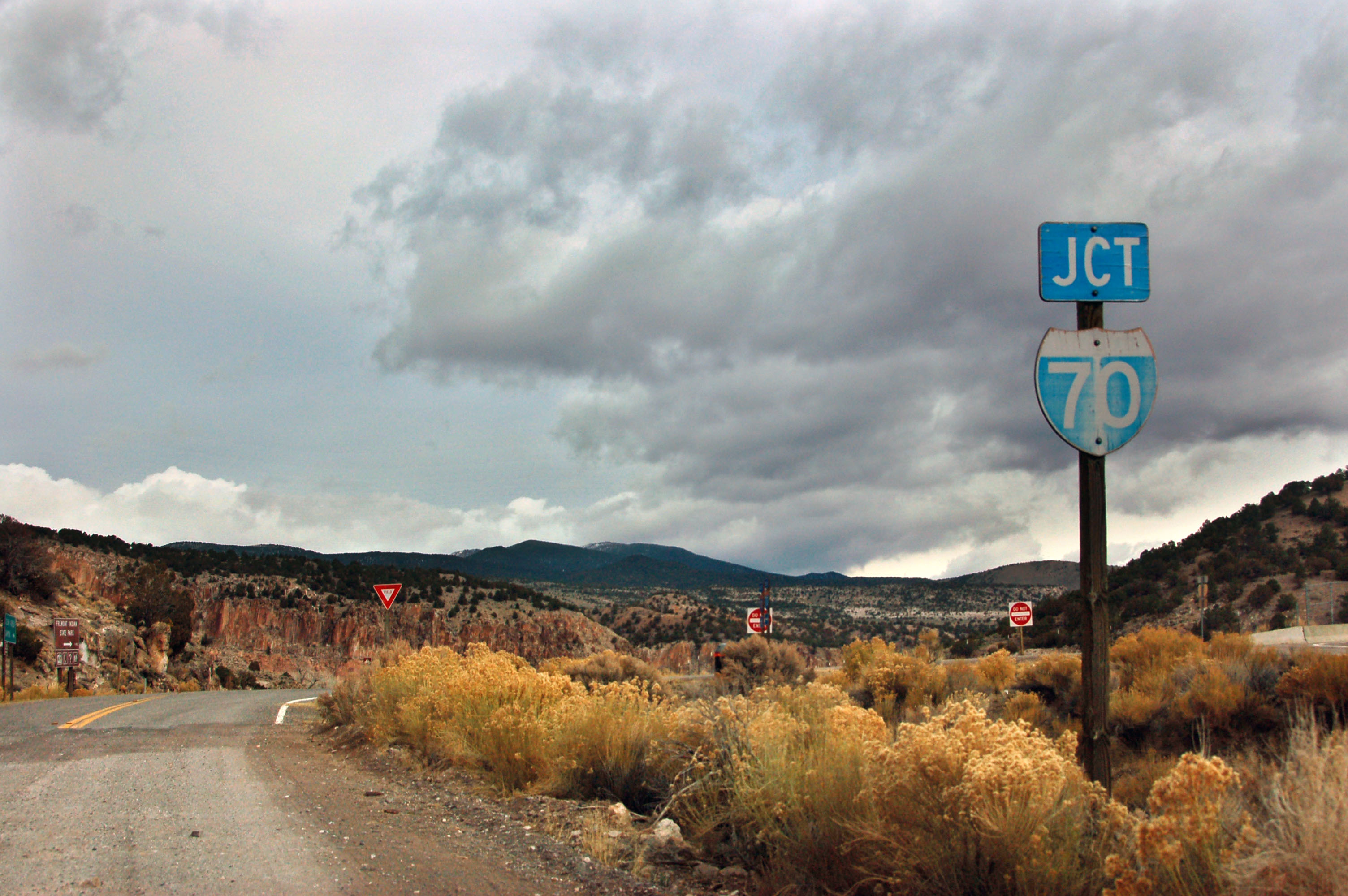
The longest gap between services on the interstate system.
Turning south onto state highway 72.
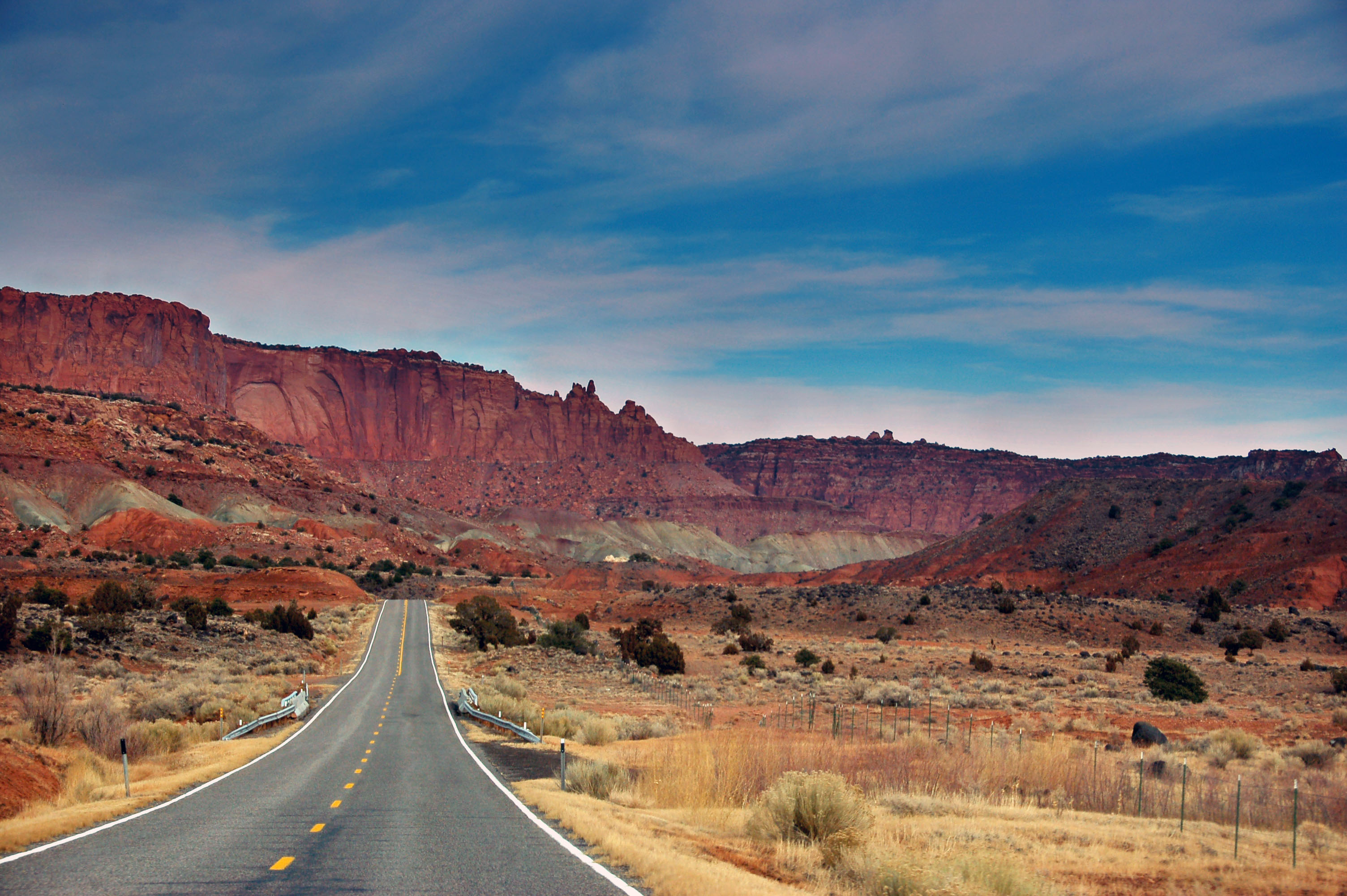
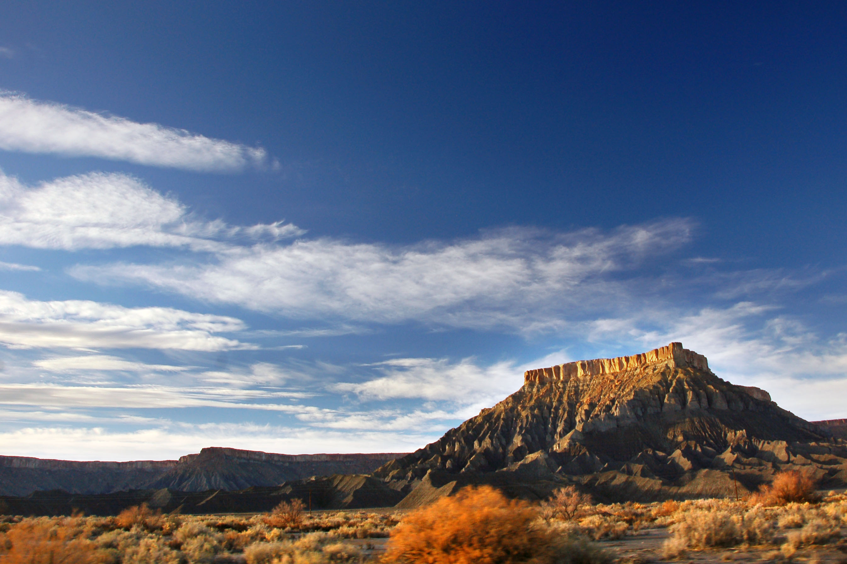
72 ends at 24, and here we head east into red rock country.
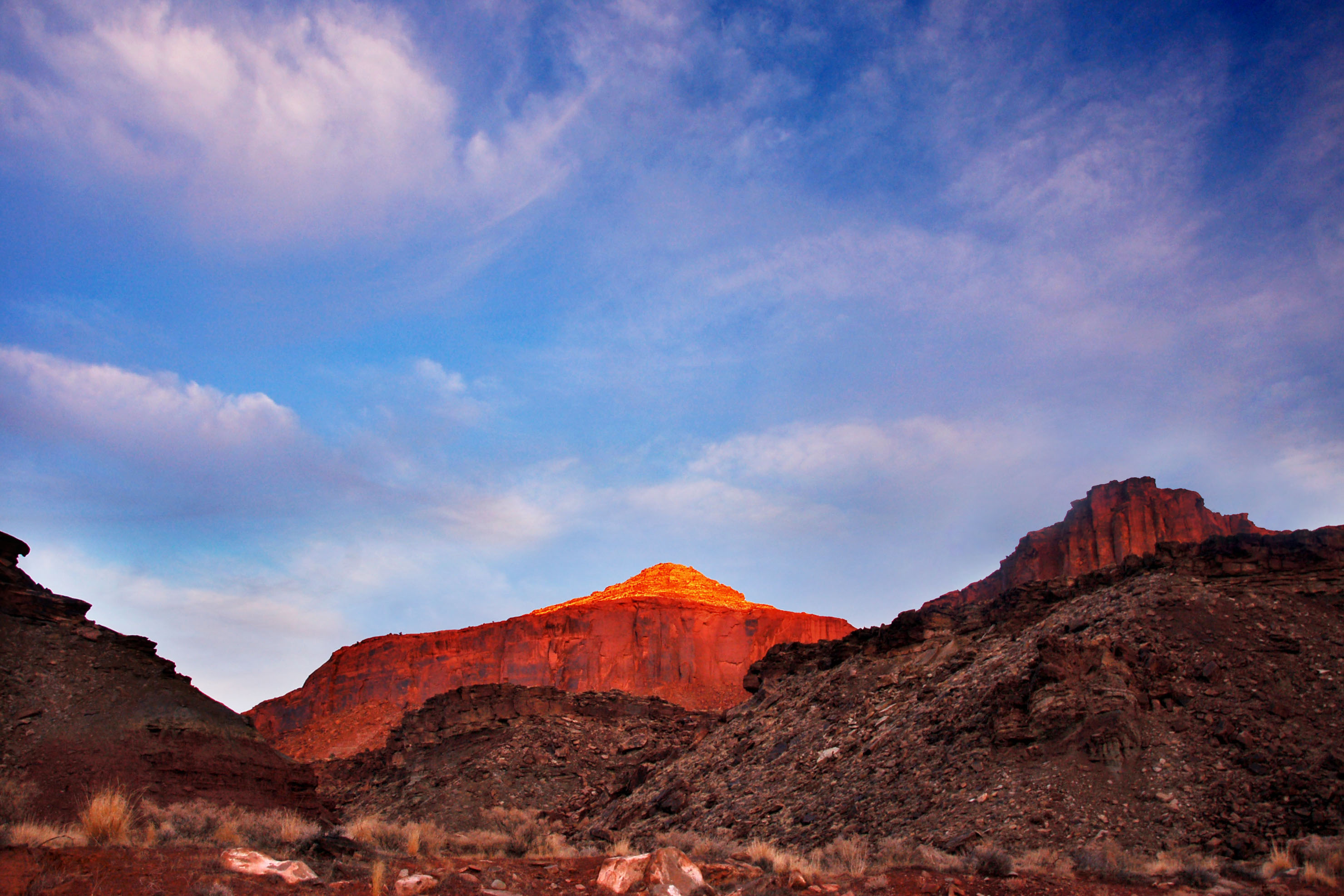
Utah features this sort of land for hundreds of miles.
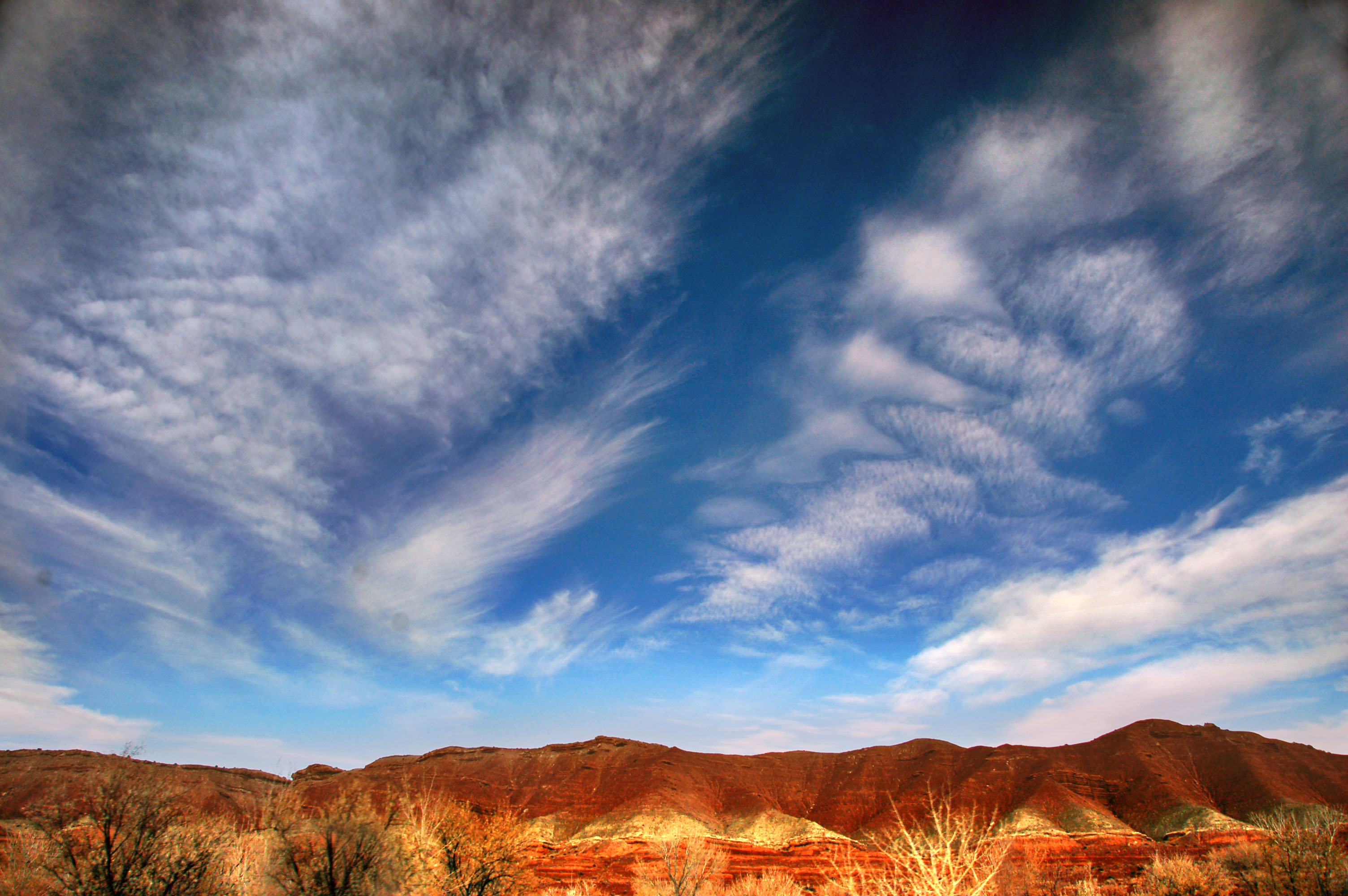
I don’t know what causes the kind of wavy line present in the clouds at upper right.
Now on highway 95, which heads towards the Four Corners area.
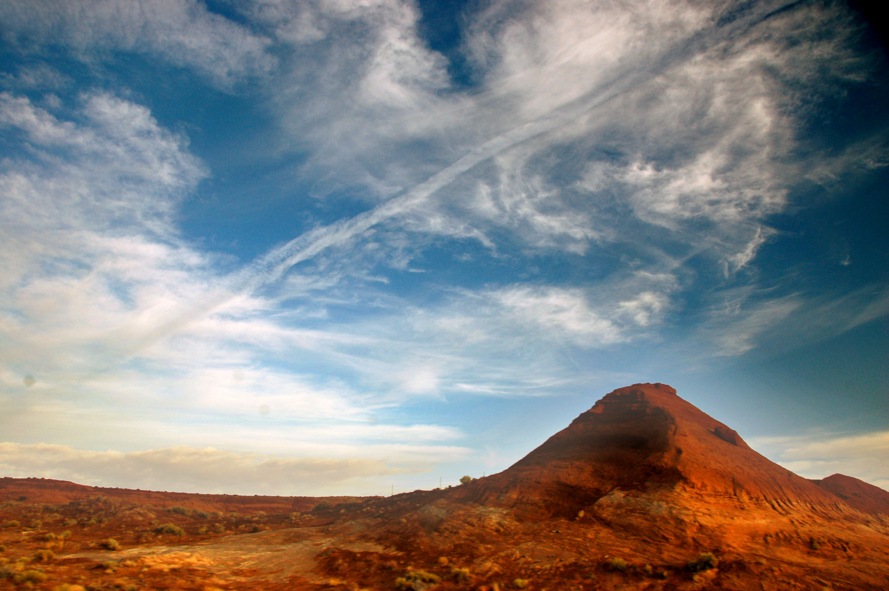
Getting close to sunset.

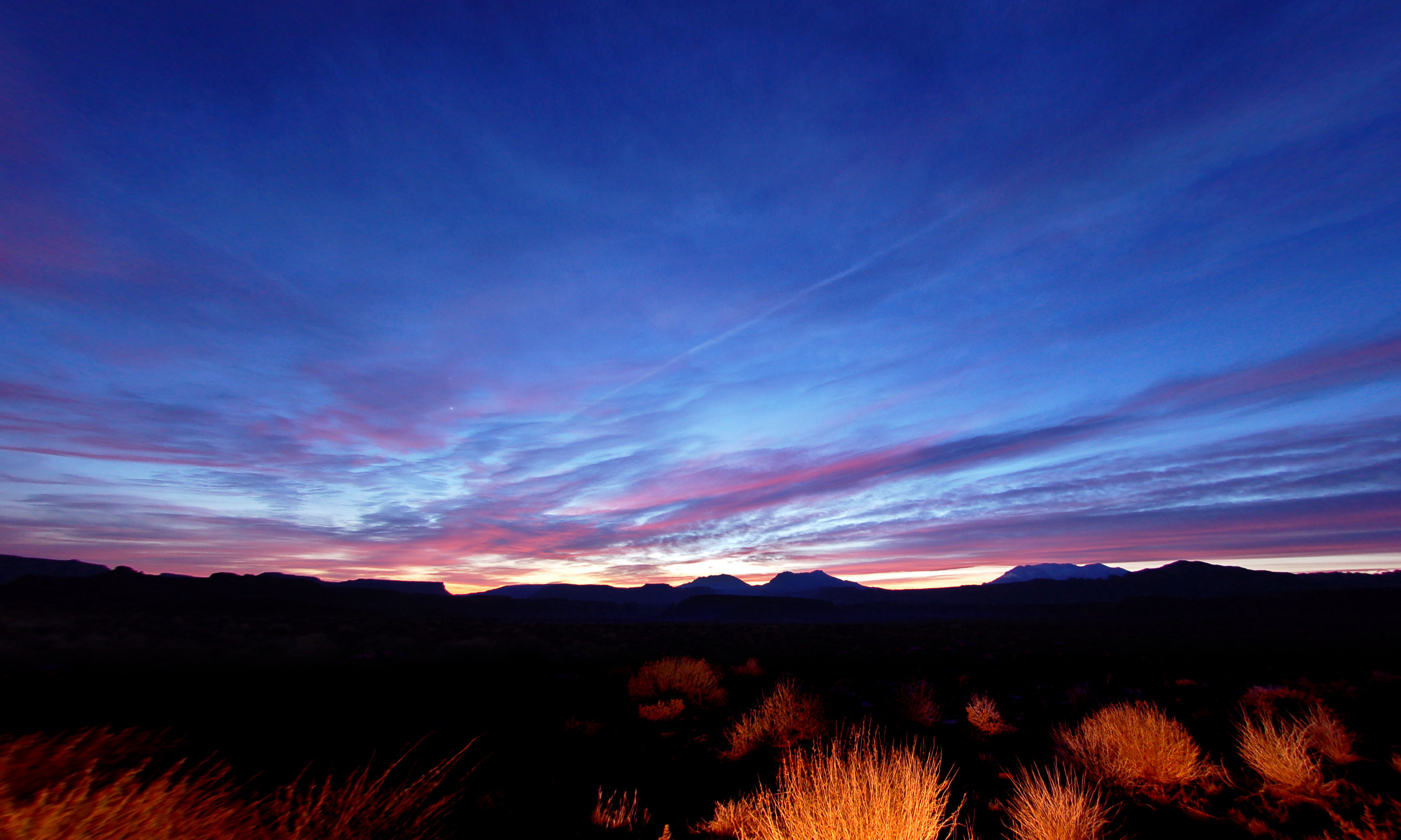
Past sunset, and just north of the Colorado River crossing on highway 95. This is a combination of two exposures – with a single shot, either one has no detail on the ground, or one blows out the skies.
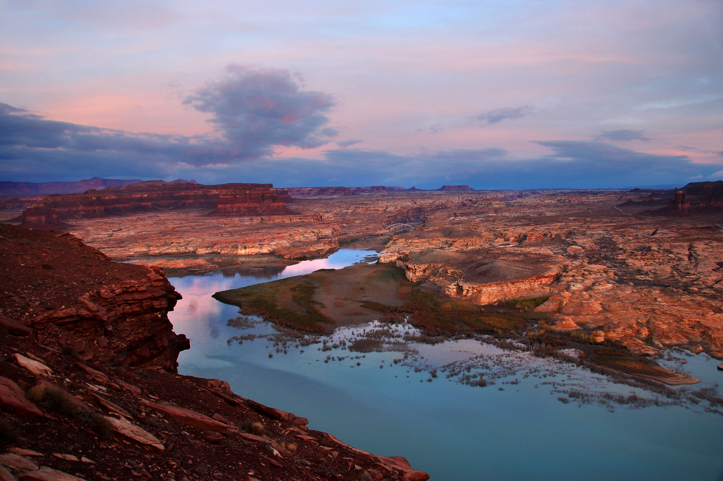
And here is the river itself. If you look carefully, you can see the bridge.
Even further past sunset.
And here we’re finally getting to the bridge.
An extra-wide-angle shot showing all the clouds.
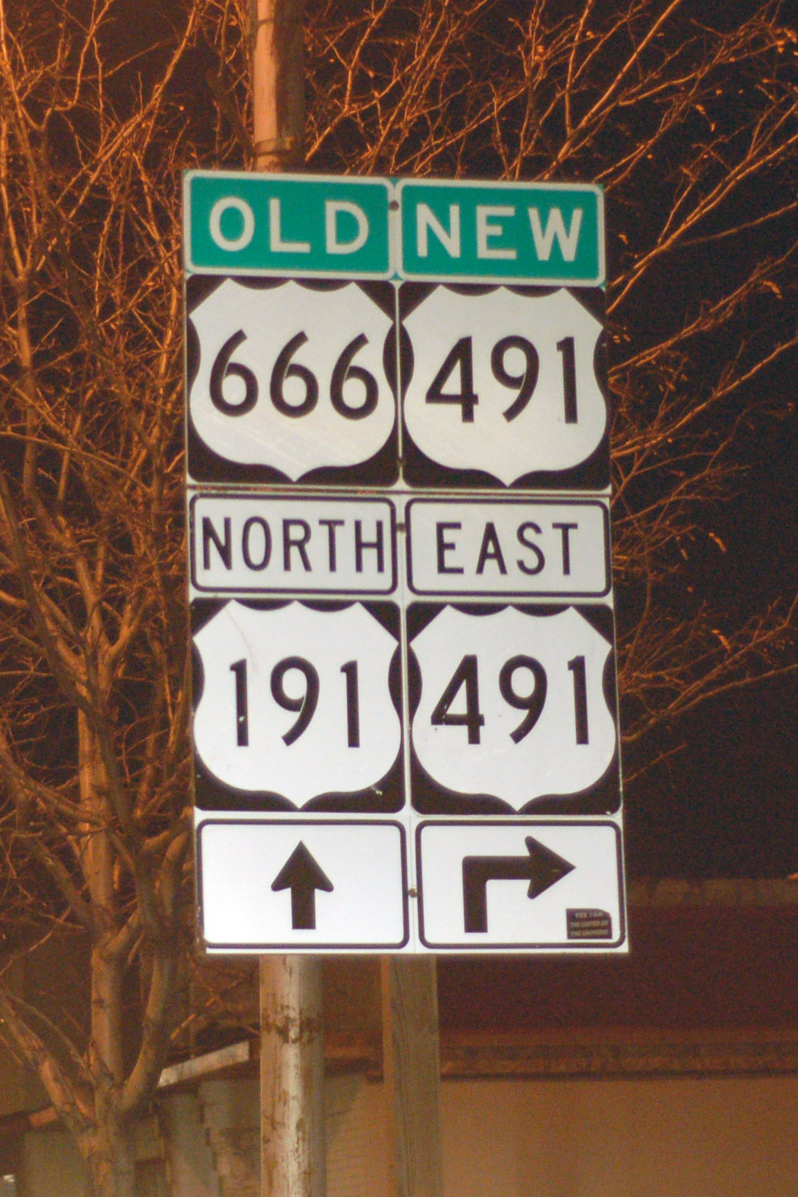
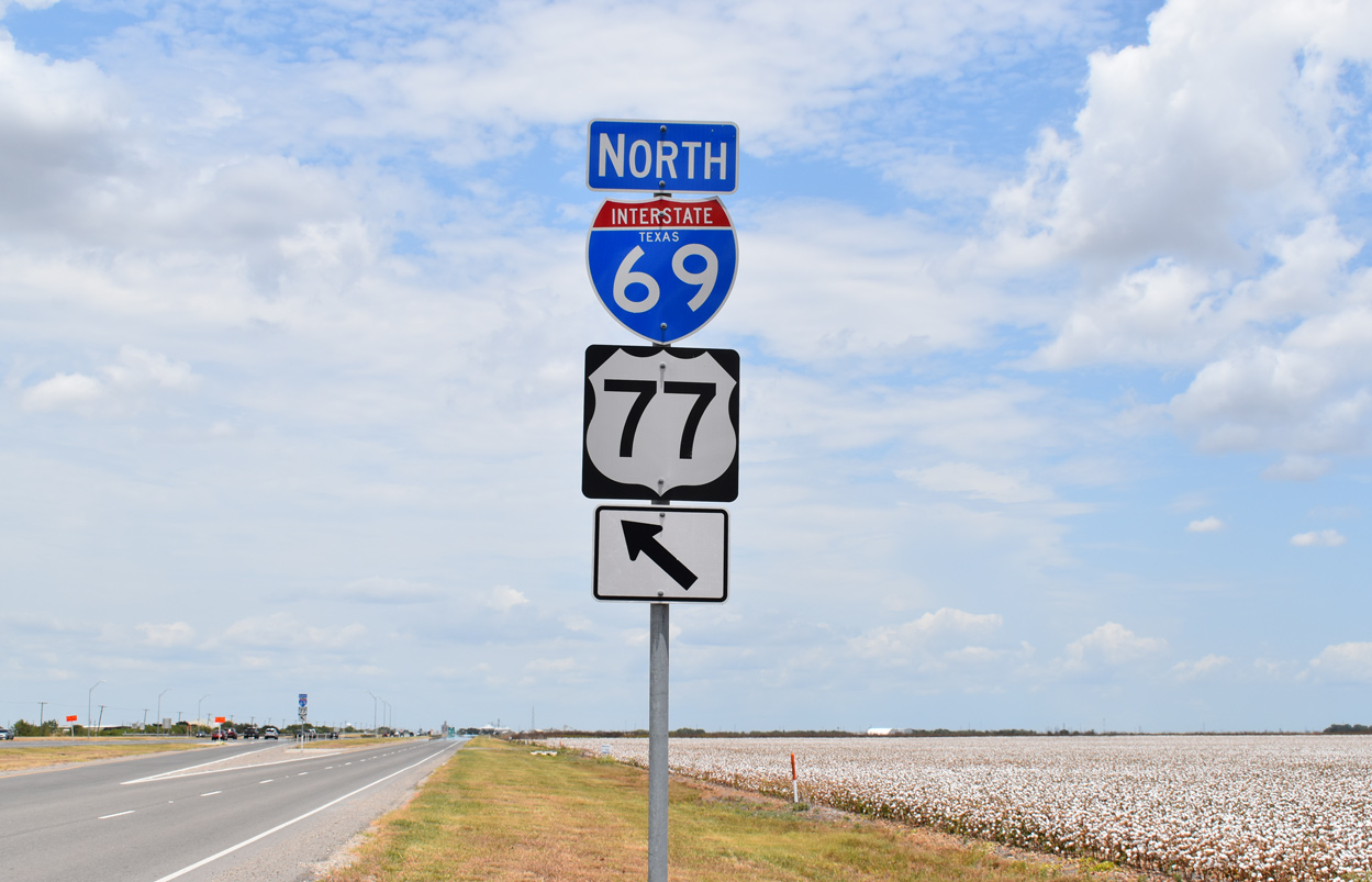
And an actual sign photo to close things off with. Coming up, Colorado to New Mexico.


