
District of Columbia Road & Highway Photo Guides
Sitemap to road and highway photo guides covering the District of Columbia.
Interstates
 Interstate 66
37 photos
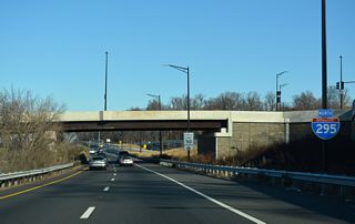
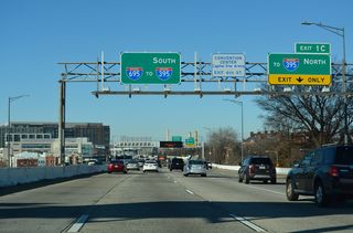
 Interstate 295 - Anacostia Freeway
49 photos
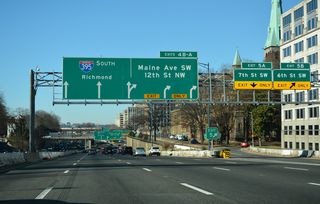
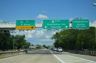
 Interstate 395
89 photos
 Interstate 695 - Southeast Freeway
43 photos
U.S. Highways
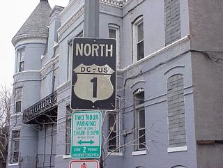
 U.S. 1
17 photos
 U.S. 29
19 photos
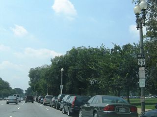
 U.S. 50
35 photos
State Routes
 District of Columbia Route 295
51 photos
Other Roads
9 photos
11 photos
Photo Coverage of Roads and Highways in District of Columbia
AARoads documents highways and roads across Washington, DC with route-by-route photo guides organized by direction of travel. Coverage includes Interstate Highways, U.S. Routes, D.C. Route 295, and select named roads.
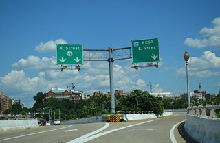
Photo guides focus on highway signage, interchanges, route markers, city limit signs, county lines, and notable points of interest along each route. Coverage includes heavily traveled urban freeways and boulevards, with photo guides emphasizing signalized intersections, sparsely marked U.S. Routes and some of the attractions in and around the National Mall.
New and updated photos for routes in Washington, DC are added periodically and cataloged on the updates page.
Overview

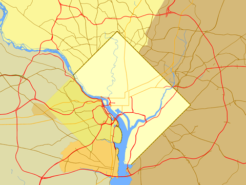
Washington
72 PhotosPhotographic Contributors
Photography by Alex Nitzman, Andy Field, Brent Ivy and Carter Buchanan.
About Washington, D.C.
- Population (2020 U.S. Census): 689,545
- Nickname: D.C.
- Official Flower: American Beauty Rose
- Official Bird: Wood Thrush
- Official Tree: Scarlet Oak
- Total Interstate Mileage: 12.27
- Land Area: 61.05 square miles
- Highest Point: Reno Hill, 409 feet
- Lowest Point: Anacostia and Potomac Rivers, sea level
- Founded: July 16, 1790
Last updated: Friday December 31, 2021