
State Route 1 North - Palmer to Chickaloon
The Glenn Highway MP 34-42 Reconstruction Project planned for Summer 2023 to September 2025 expanded SR 1 (Glenn Highway) northeast from SR 3 (Parks Highway) into a four lane, divided highway.
07/22/23
07/22/23
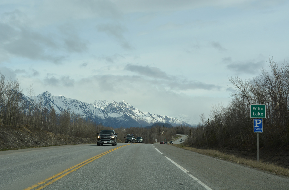
SR 1 (Glenn Highway) runs between Echo Lake and Bradley Lake before curving northeast to Palmer.
05/09/23
05/09/23

05/07/23
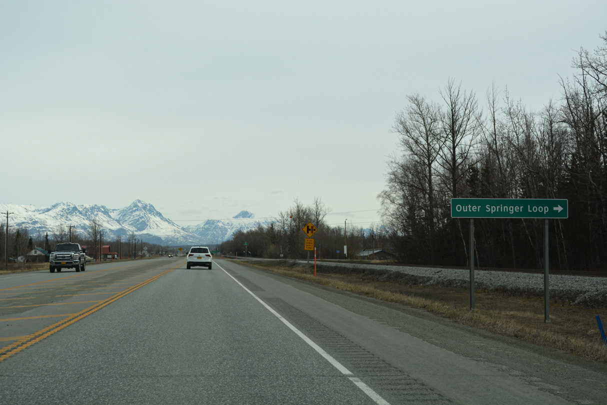
Outer Springer Loop encircles suburban and agricultural areas south of Palmer along a 5.04 mile long course north to Inner Springer Loop.
05/07/23
05/07/23
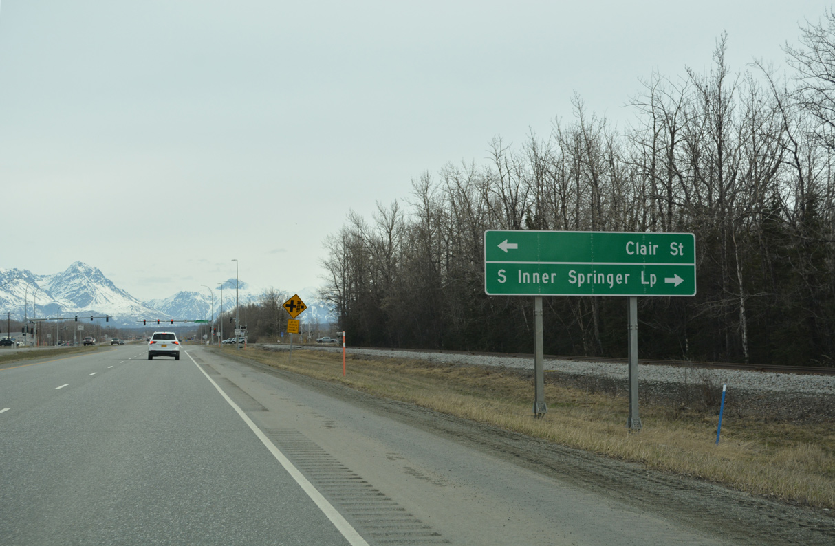
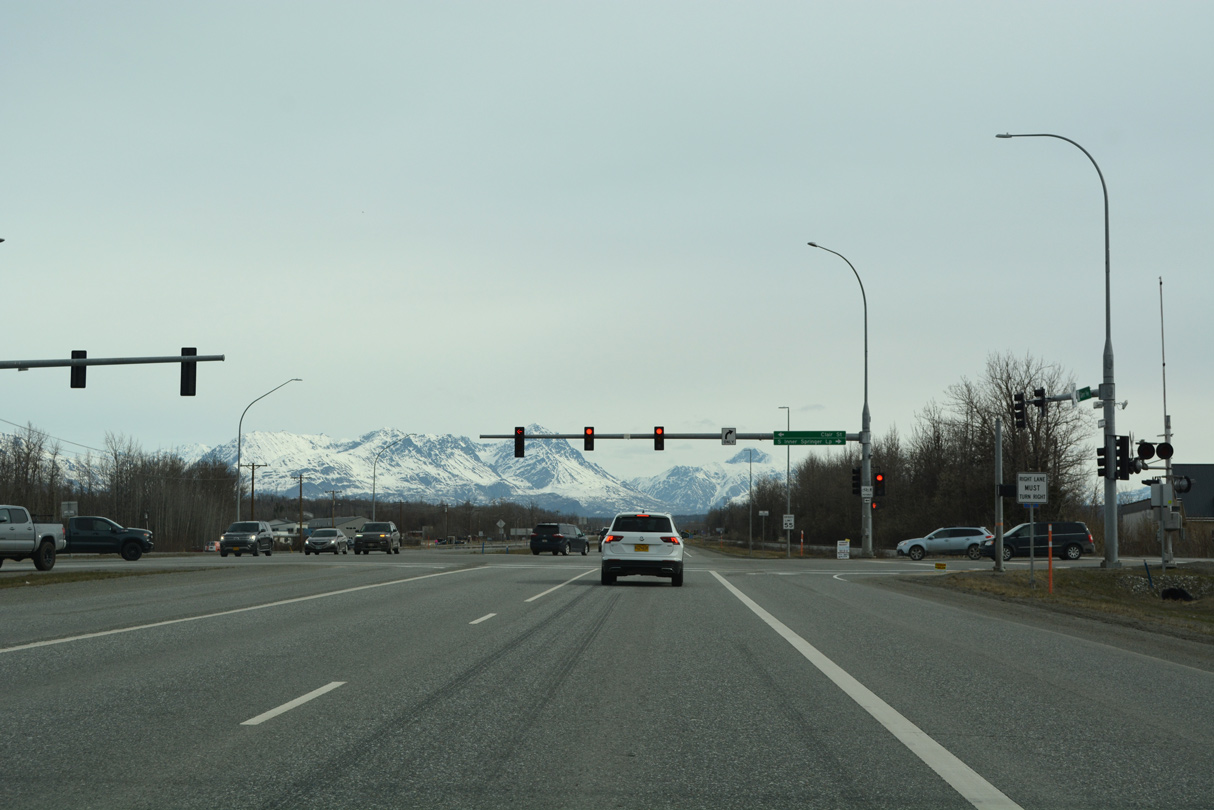
SR 1 expands to four lanes at the intersection with Clair Street west and S Inner Springer Loop east.
05/07/23
05/07/23
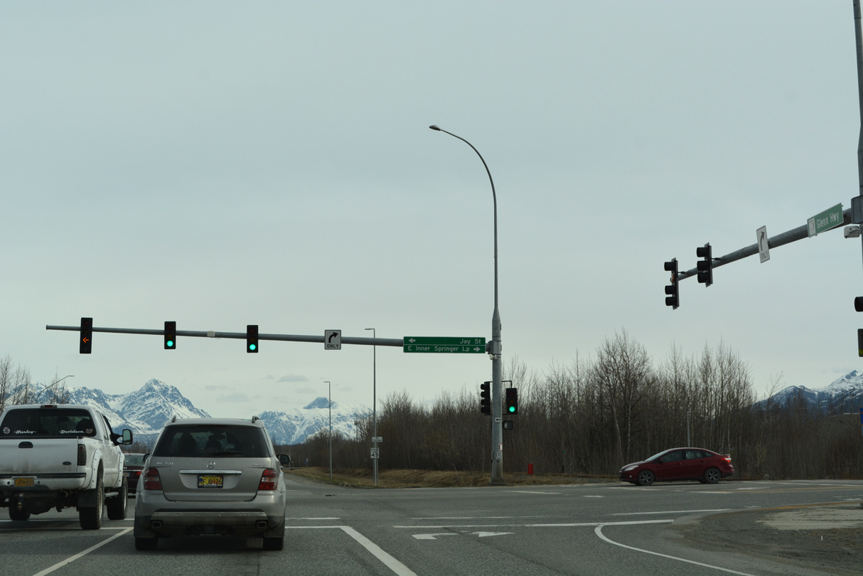
Inner Spring Loop circles 2.46 miles east from SR 1 (Glenn Highway).
05/07/23
05/07/23
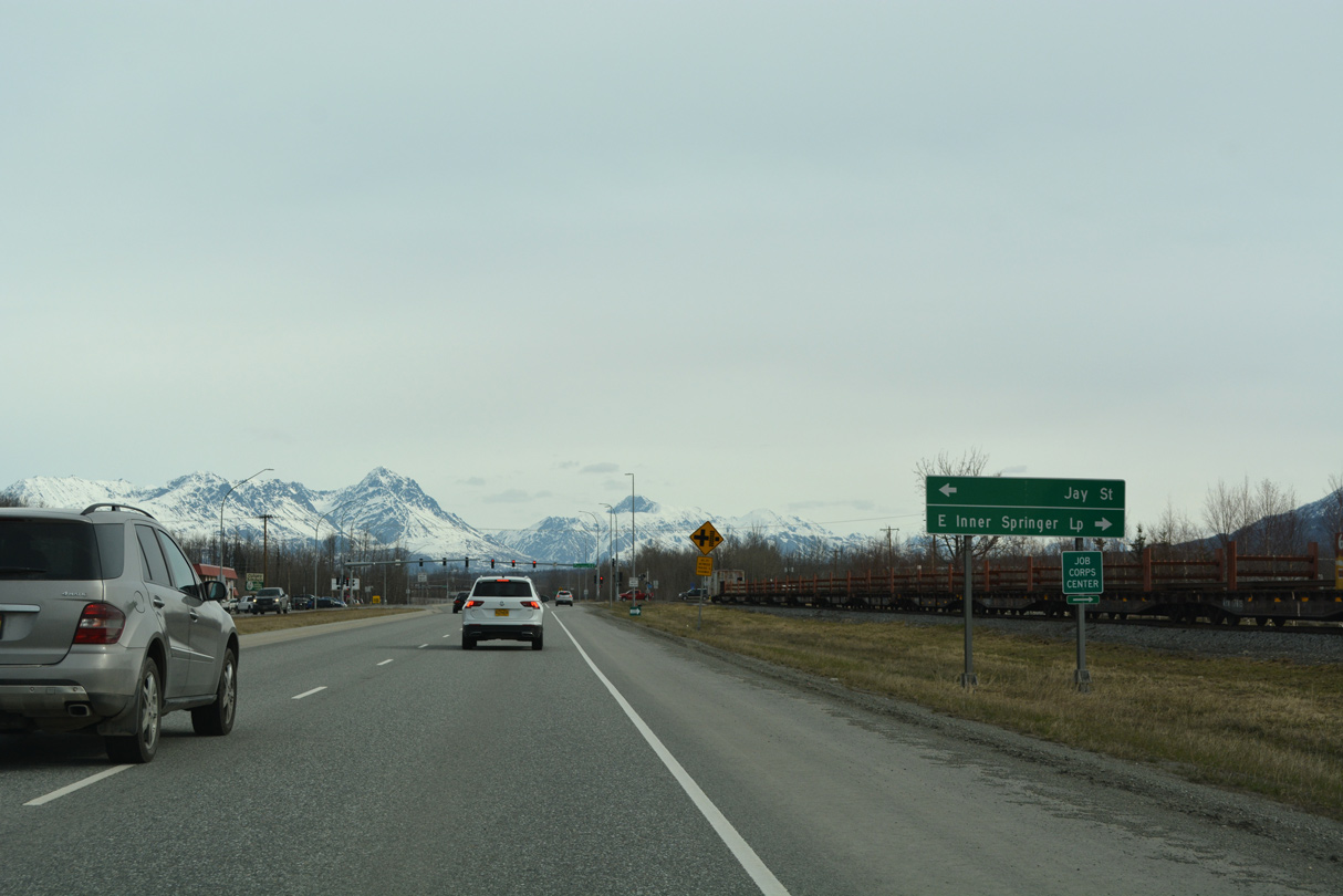
Inner Springer Loop returns to SR 1 on the north side of the Alaska State Fairgrounds.
05/07/23
05/07/23
07/22/23
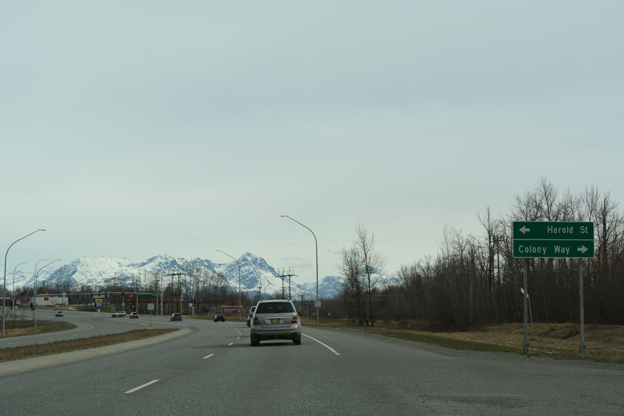
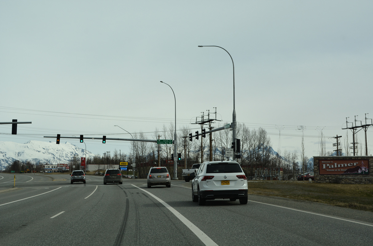
Colony Way branches northeast from SR 1 (Glenn Highway) to the Palmer city center.
05/07/23
05/07/23
05/07/23
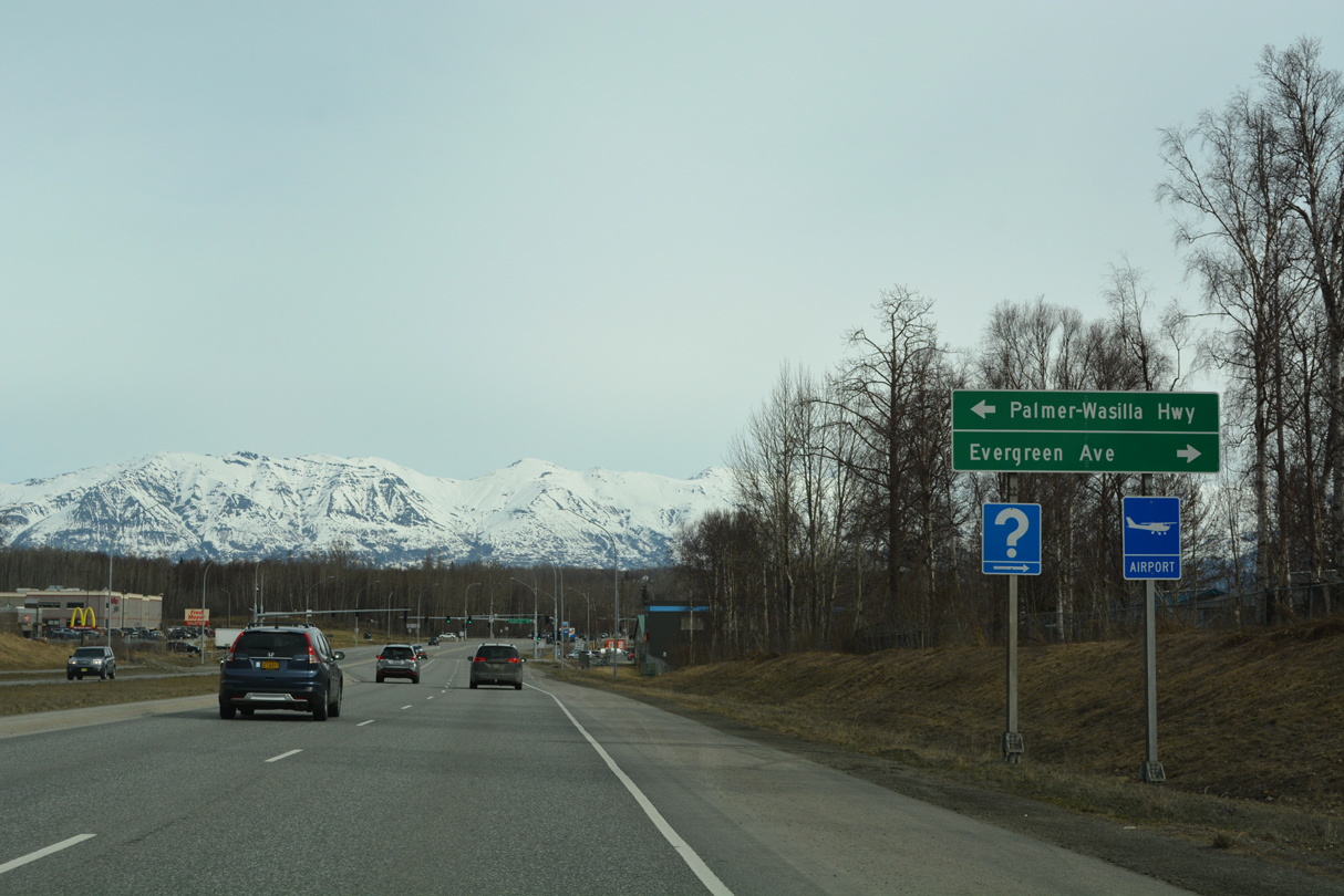
Palmer-Wasilla Highway leads 11.22 miles west from SR 1 (Glenn Highway) to Knik-Goose Bay Road in Wasilla.
05/07/23
05/07/23
Palmer-Wasilla Highway represents the original alignment of SR 3 between the two cities.
05/07/23
05/07/23
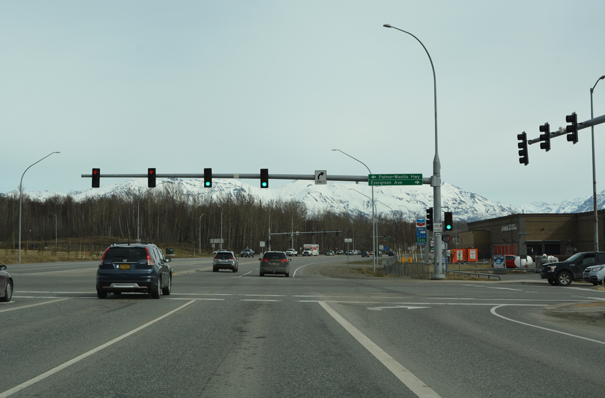
Evergreen Avenue extends 0.302 miles east from SR 1 and Palmer-Wasilla Highway to Valley Way in Downtown Palmer.
05/07/23
05/07/23
05/07/23
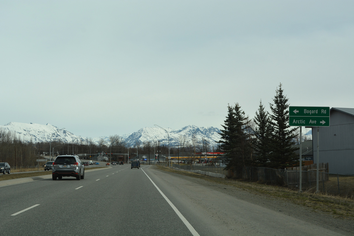
Artic Avenue west and Bogard Road east come together at the last traffic light on SR 1 northbound.
05/07/23
05/07/23
Artic Avenue is part of Old Glenn Highway (former SR 1) east to Matanuska River Park.
05/07/23
05/07/23
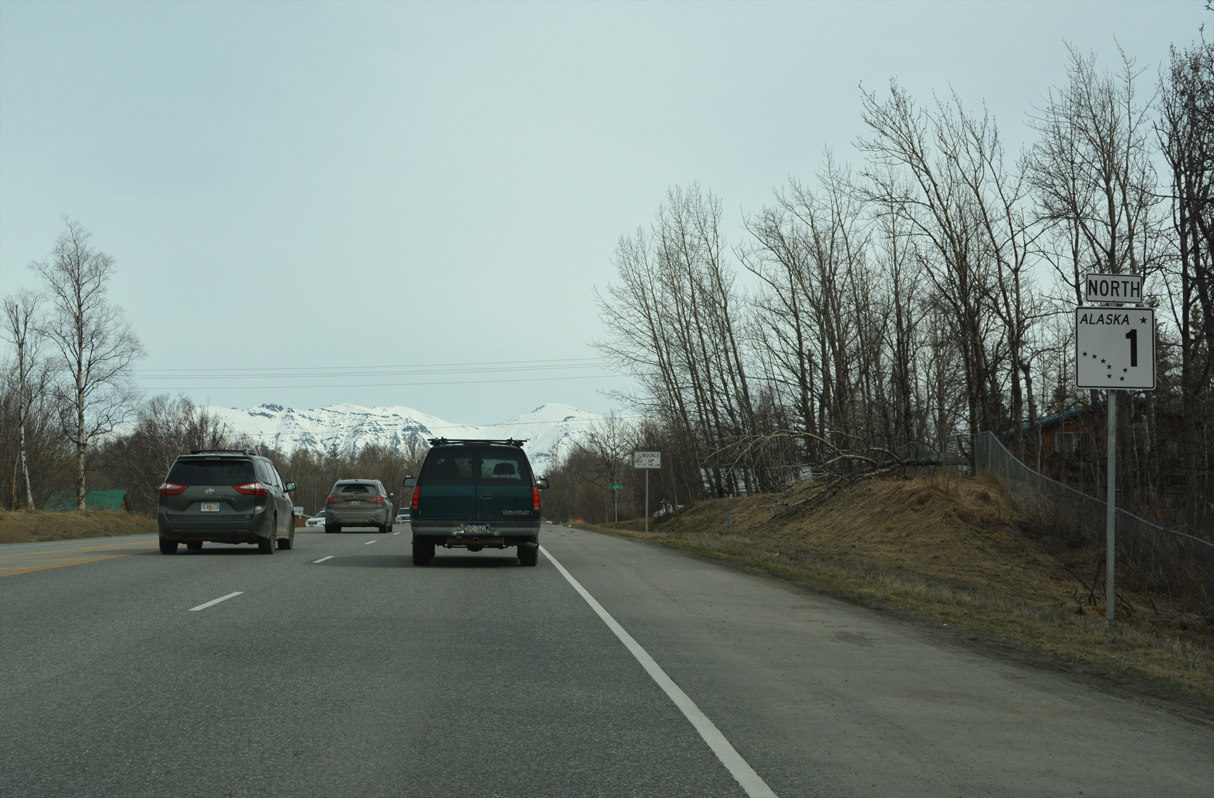
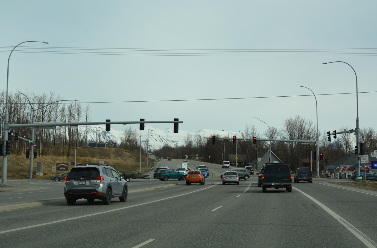
The four lane section of SR 1 concludes just north of Artic Avenue ahead of this reassurance marker.
05/07/23
05/07/23
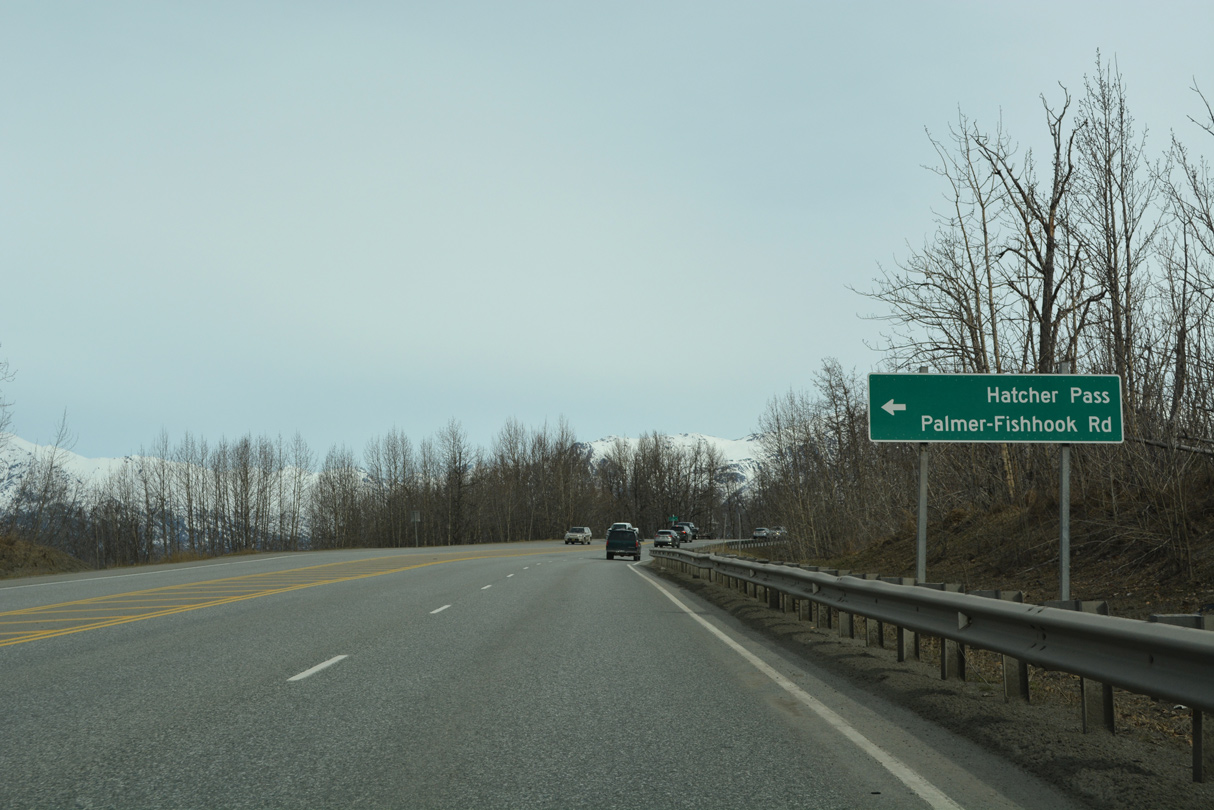
Palmer-Fishhook Road travels 14.81 miles northwest to Willow Fishhook Road east of Hatcher Pass and Skyscraper Mountain.
05/07/23
05/07/23
The first of several turn outs along SR 1 (Glenn Highway) follows Palmer-Fishhook Road overlooking the adjacent Matanuska River.
05/07/23
05/07/23
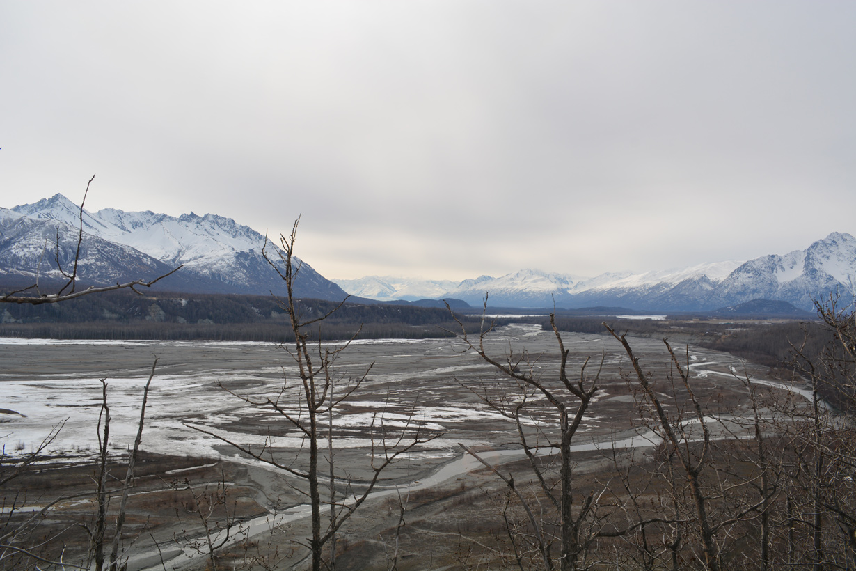
Viewing the Matanuska River from the Glenn Highway turnout near mile marker 50.
05/07/23
05/07/23
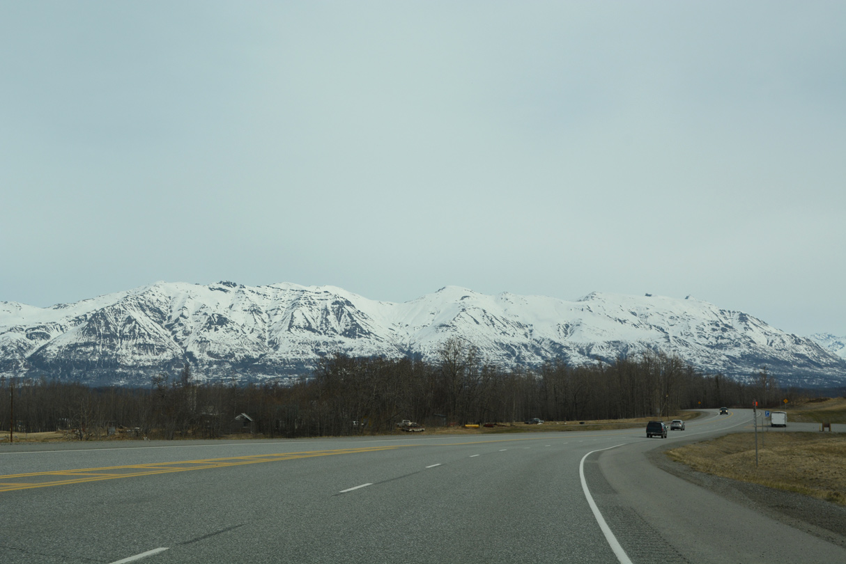
Lazy Mountain and Matanuska Peak
05/07/23
05/07/23
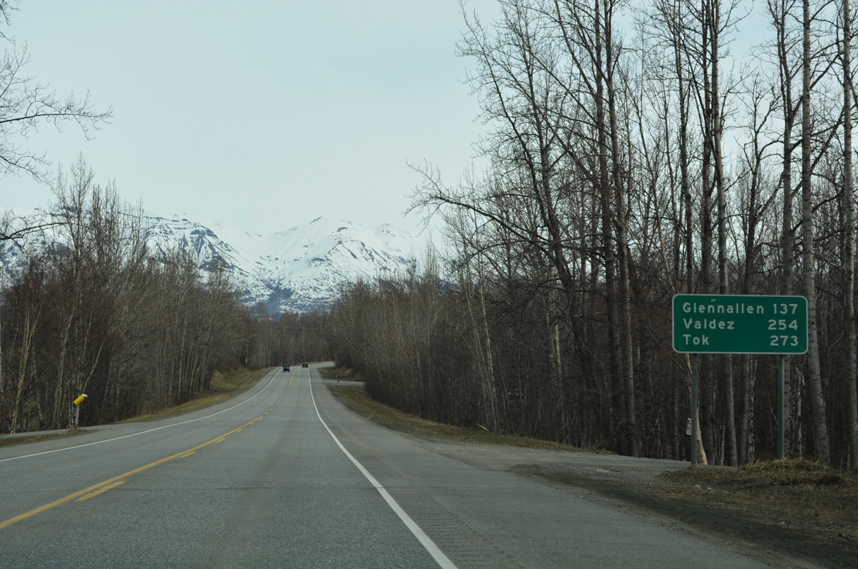
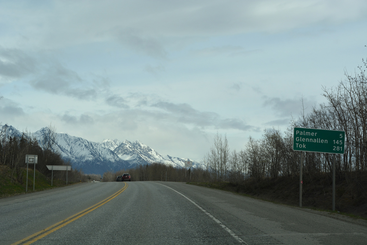
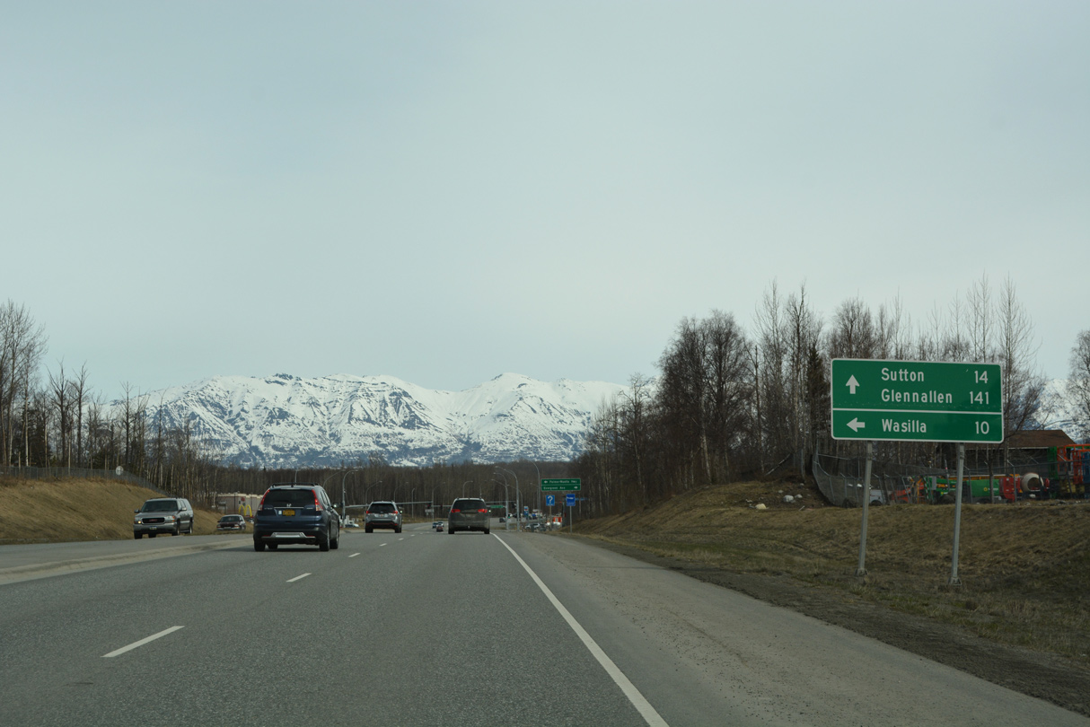
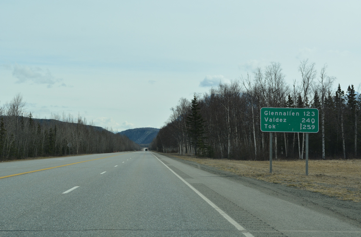
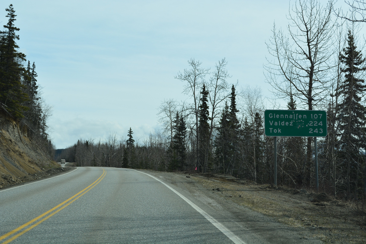
SR 1 (Glenn Highway) travels 137 miles northeast to SR 4 (Richardson Highway) at Glenallen and 273 miles to SR 2 (Alaska Highway) at Tok.
05/07/23
05/07/23
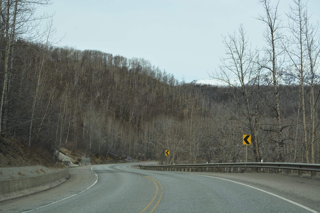
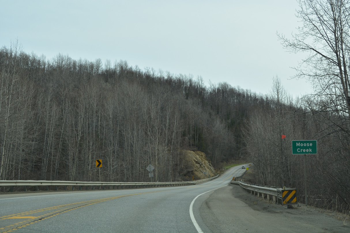
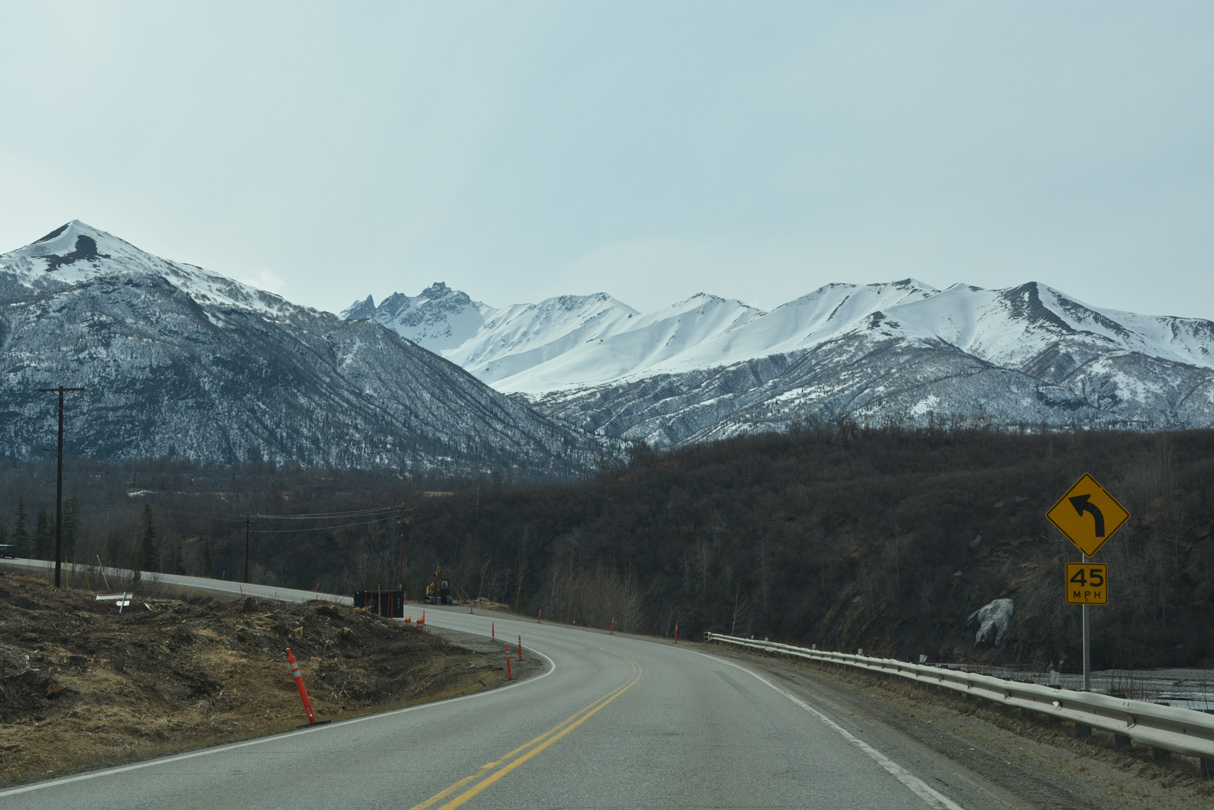
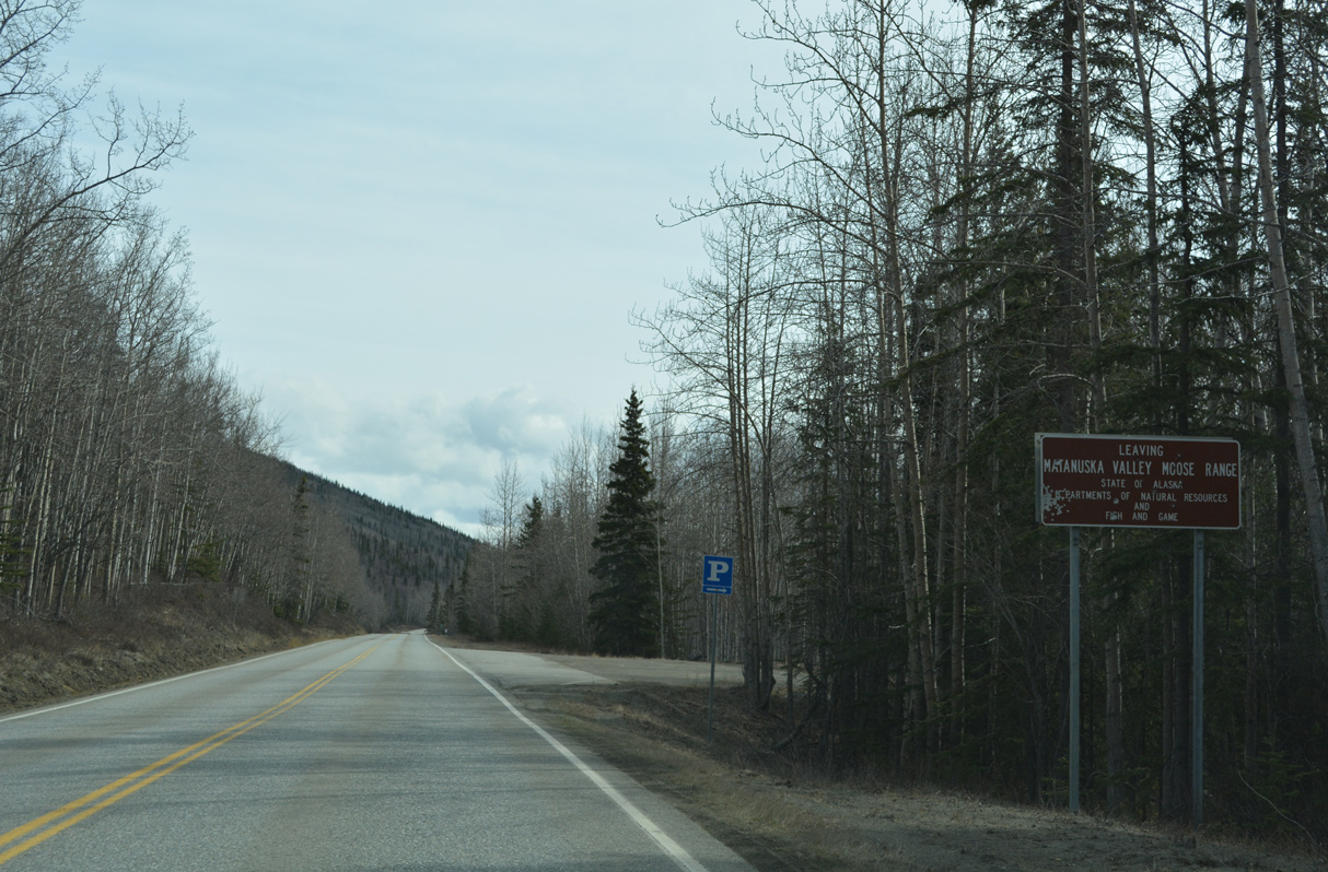
Continuing east through the Matanuska Valley, Glenn Highway navigates through a series of sharp curves across Tsadaka Canyon and Moose Creek.
05/07/23
05/07/23
05/07/23
05/07/23
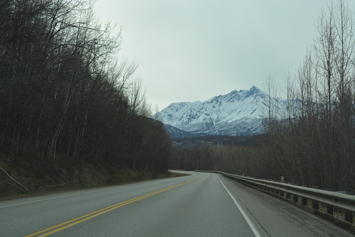
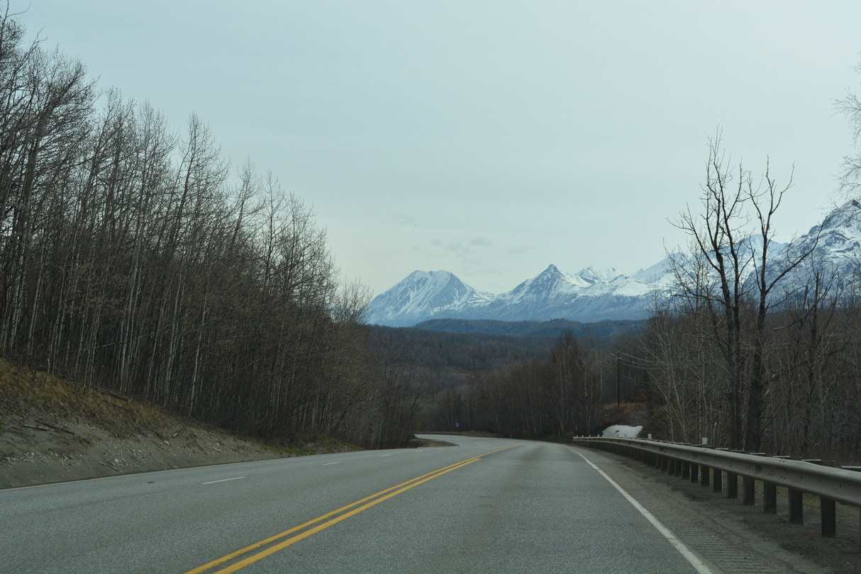
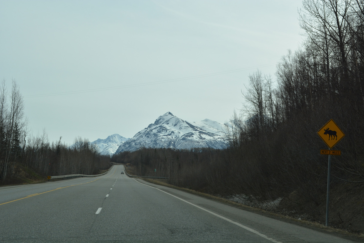
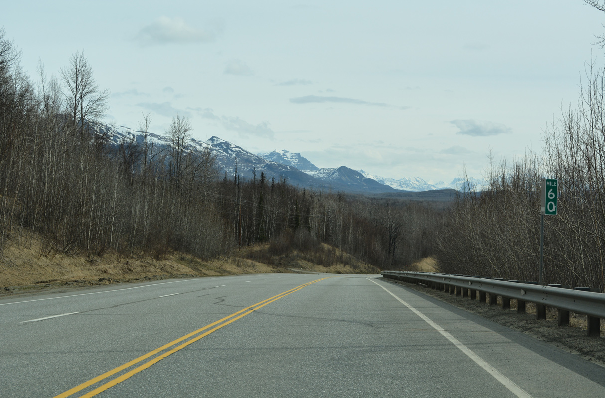
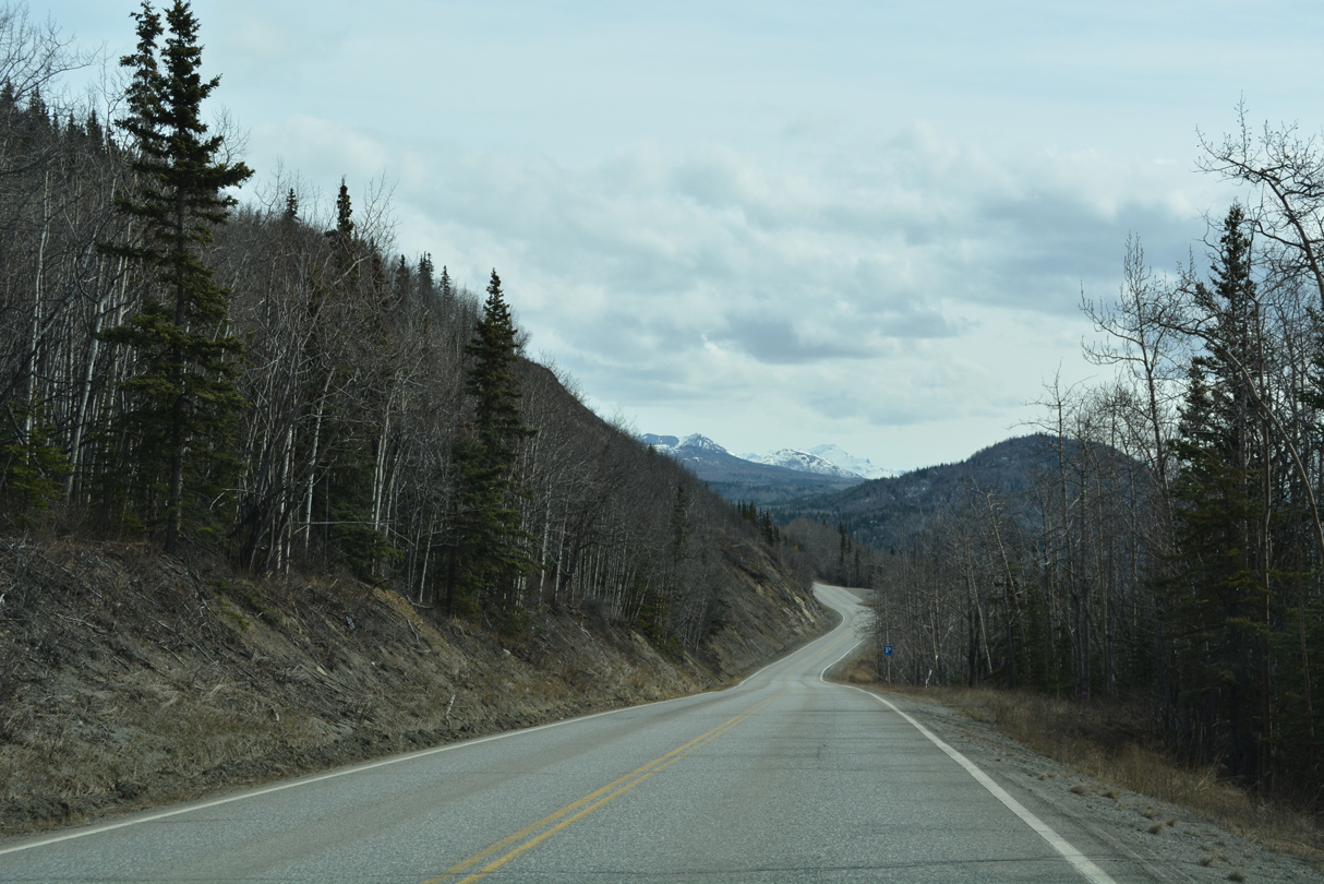
Angling southeast from Moose Creek, Matanuska Peak reappears.
05/07/23
05/07/23
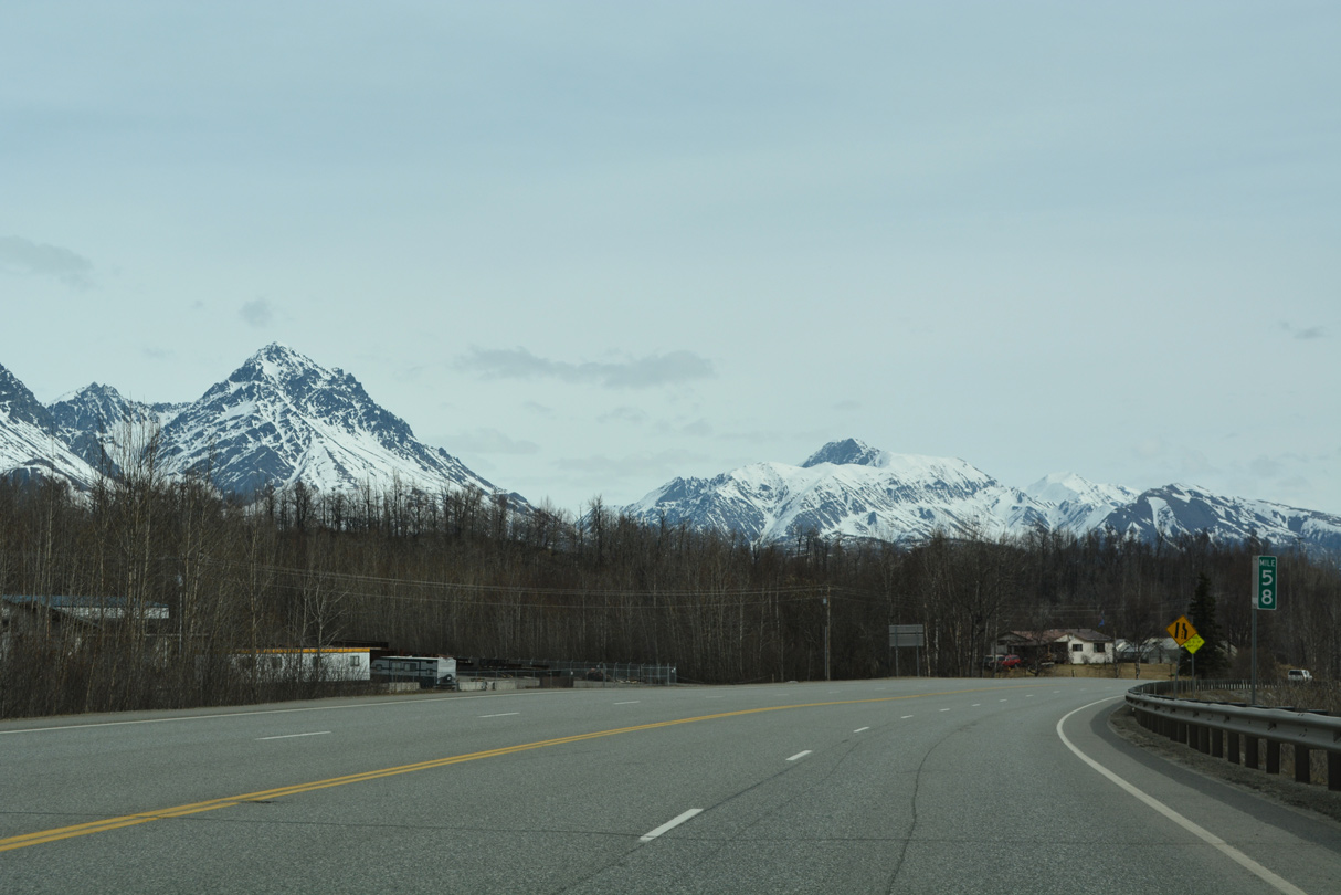
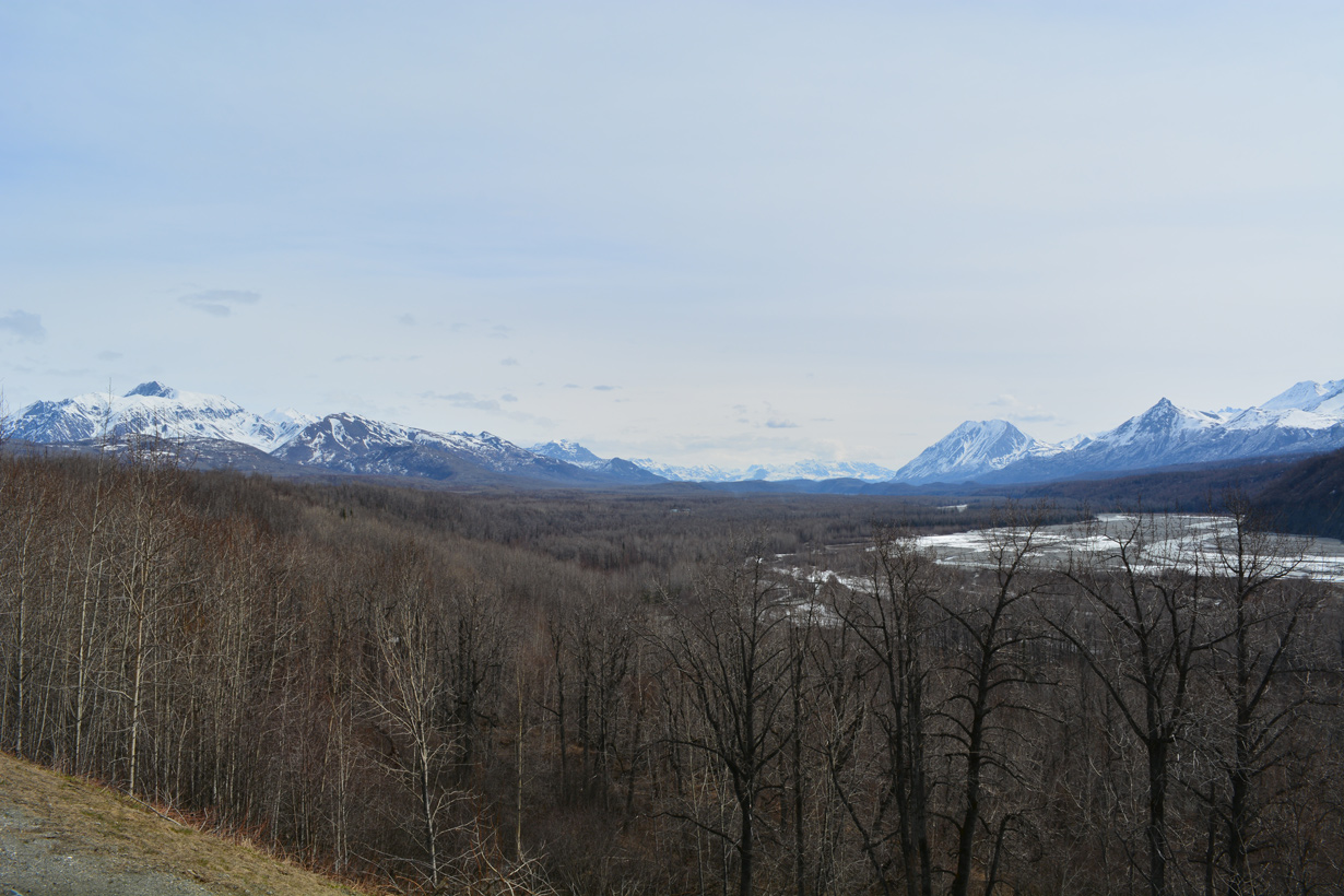
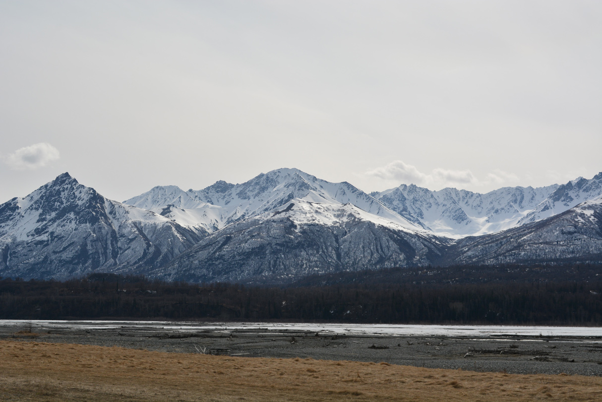
The Chugach Mountains spread to the south of the parallel Matanuska River.
05/07/23
05/07/23
05/07/23
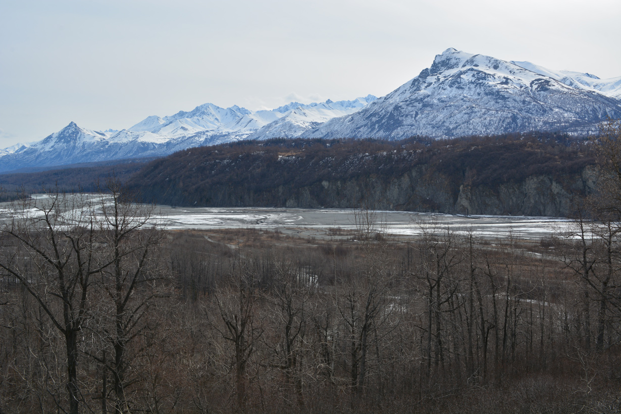
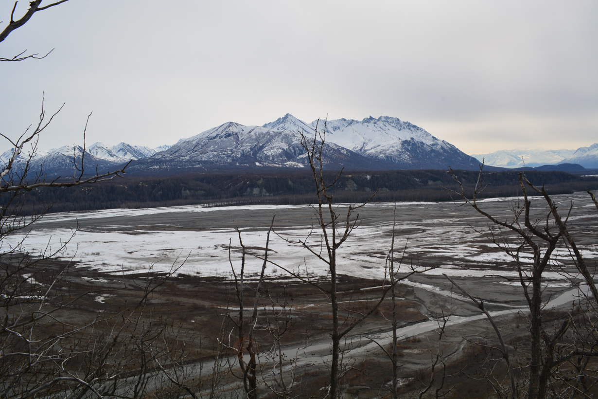
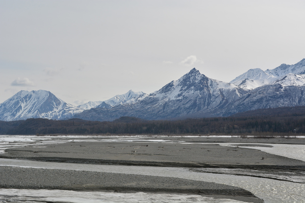
The Matanuska Valley from a turnout near Glenn Highway milepost 60.
05/07/23
05/07/23
05/07/23
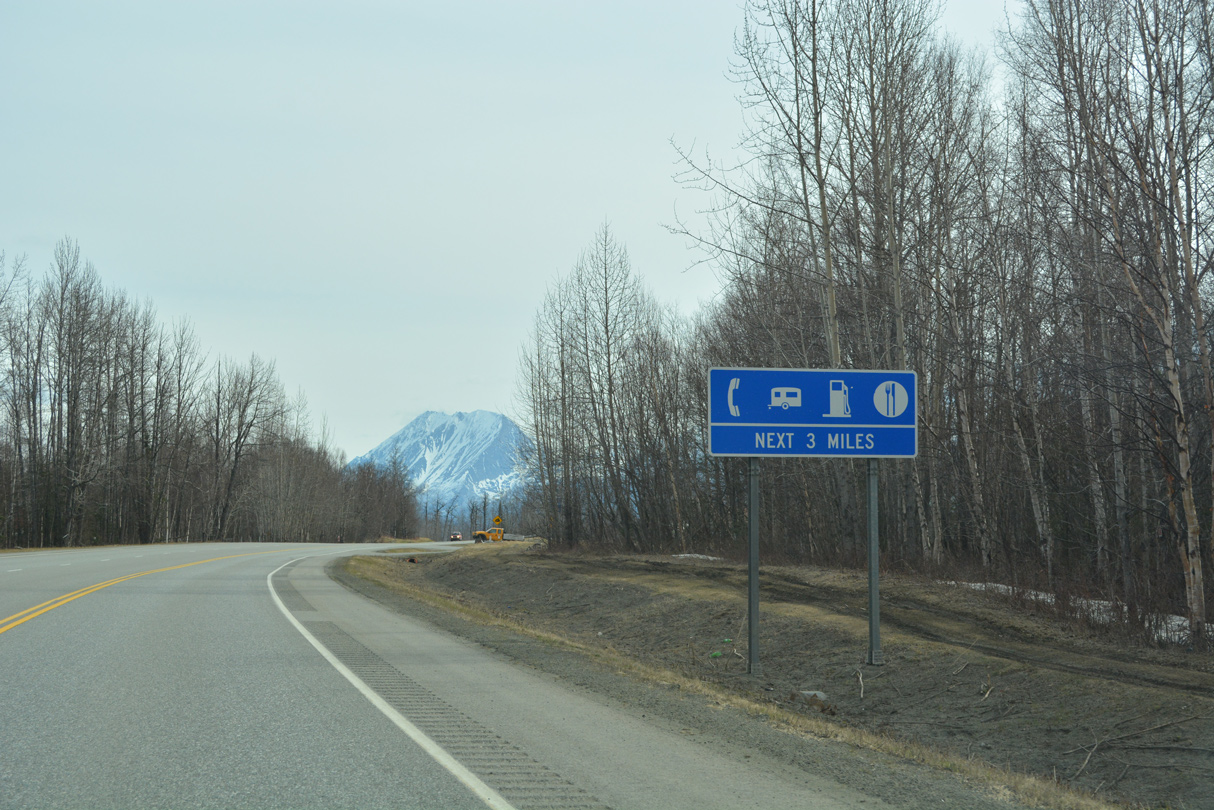
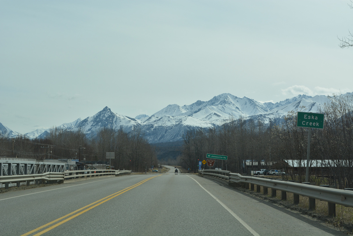
The first traveler services along Glenn Highway since Palmer are found within the community of Sutton.
05/07/23
05/07/23
05/07/23
05/07/23
05/07/23
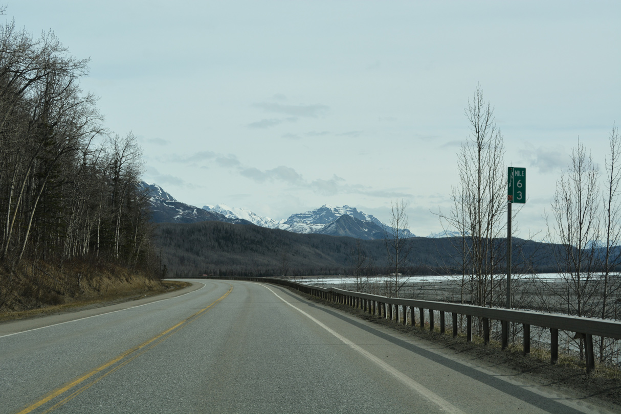
SR 1 (Glenn Highway) straddles the north side of the Matanuska River from mile marker 63 to 64.
05/07/23
05/07/23
05/07/23
05/07/23
05/07/23
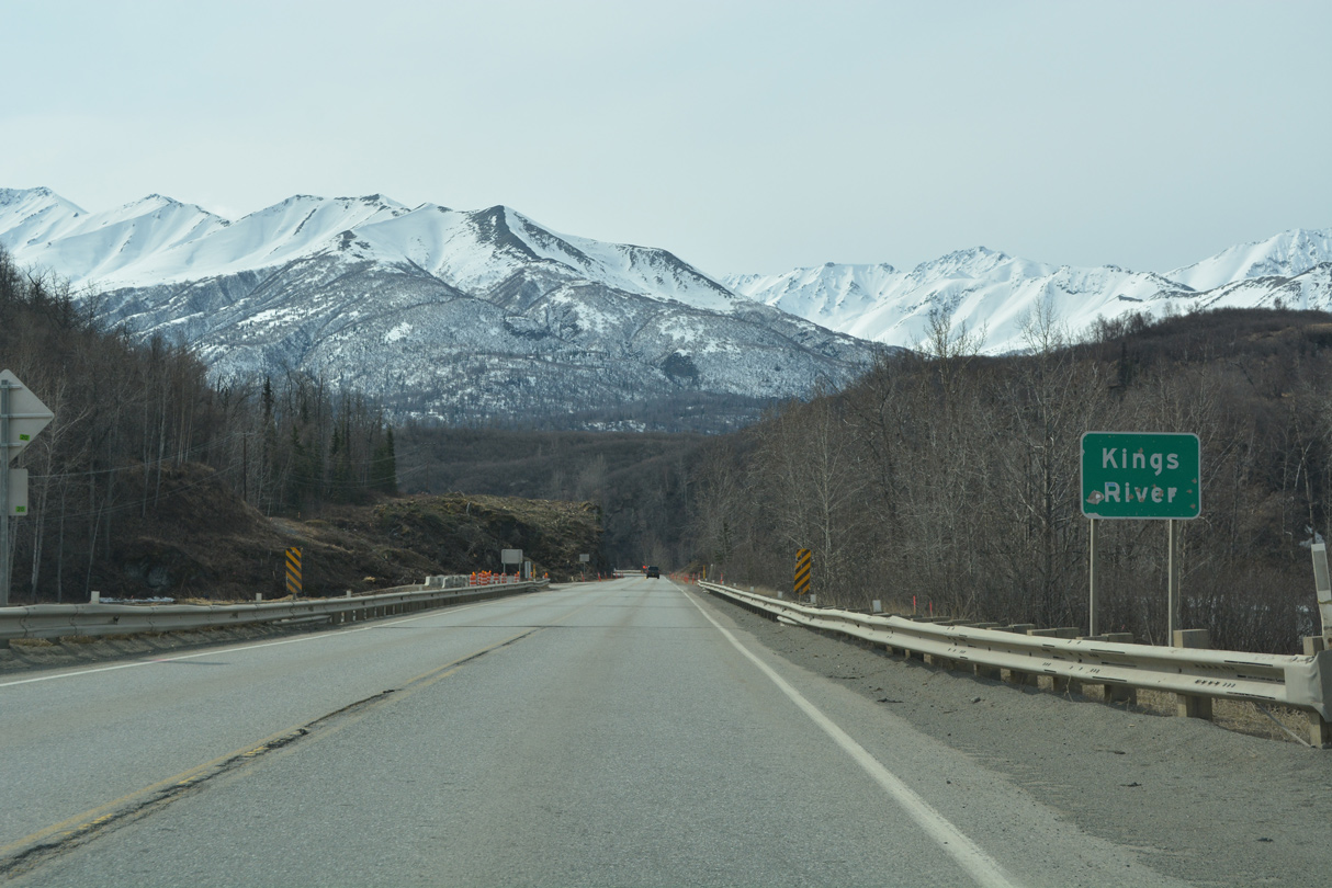
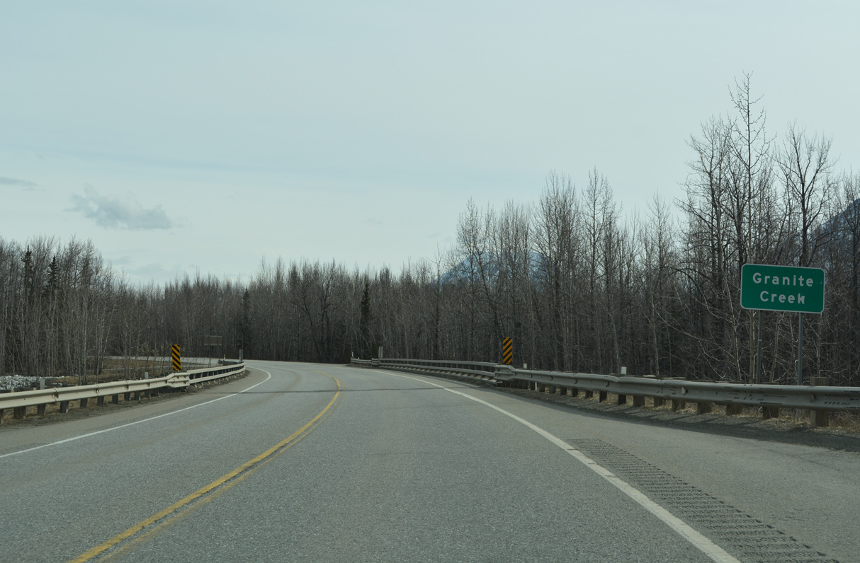
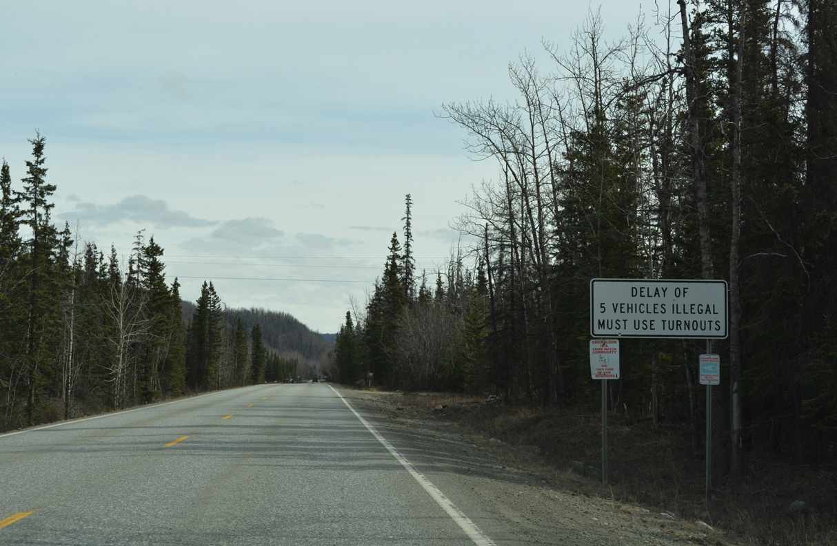
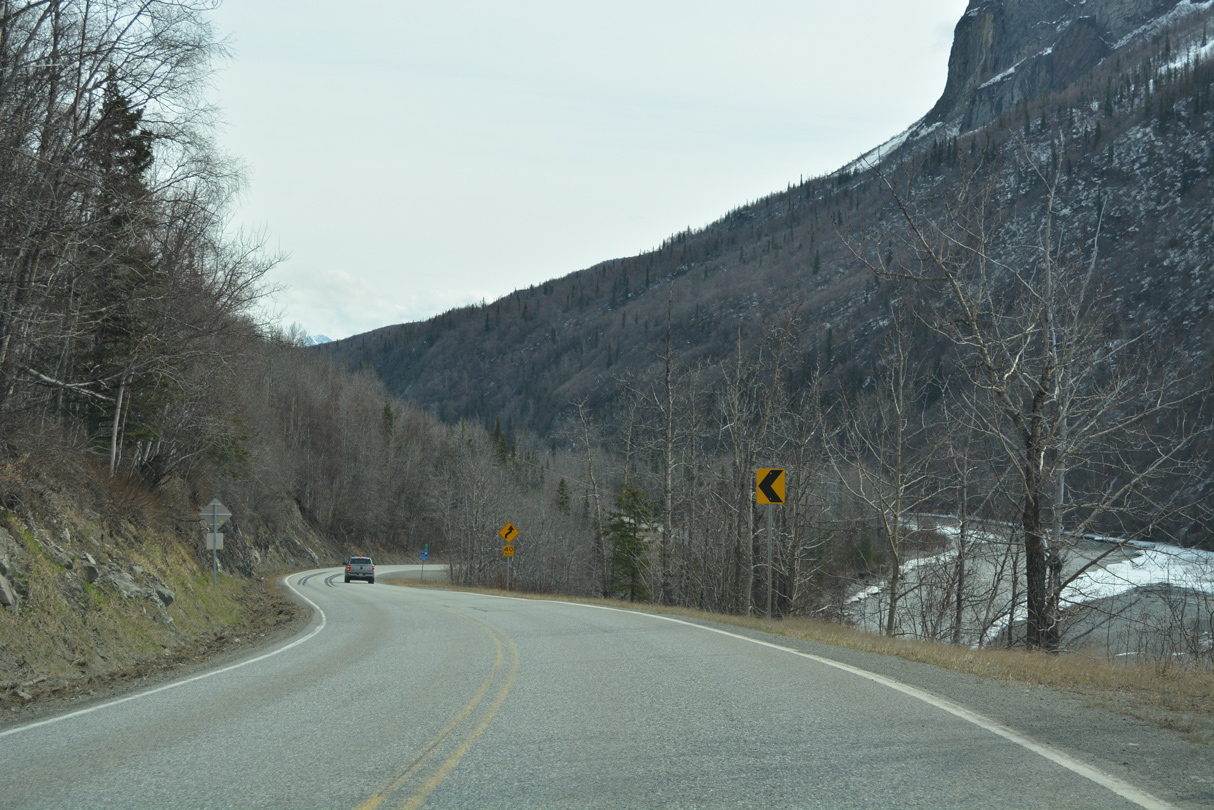
Glenn Highway curves south ahead of the Kings River. An abandoned alignment of the highway with a sharper curve precedes the crossing.
05/07/23
05/07/23
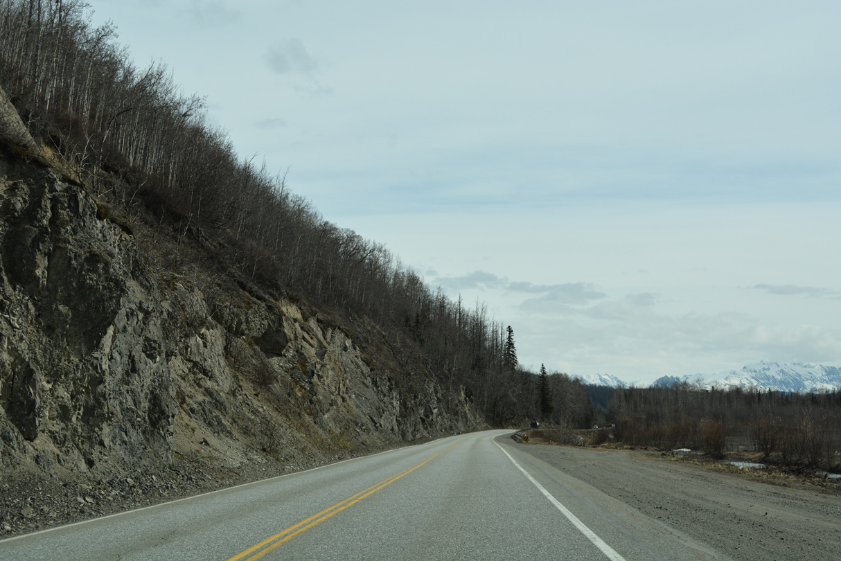
Work on the Glenn Highway Rehabilitation Project MP 66.5-92 started in Spring 2023. Construction rehabilitates 25.5 miles of SR 1 from the Kings River Bridge to Cascade, adding climbing and passing lanes where necessary.1,2
05/07/23
05/07/23
05/07/23
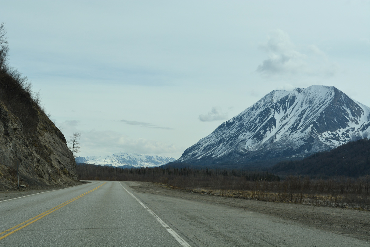
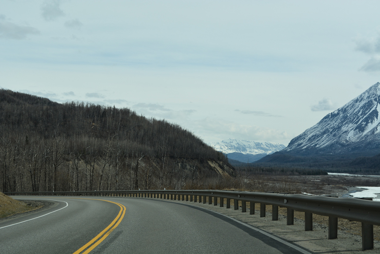
Kings Mountain appears to the east across the Matanuska River.
05/07/23
05/07/23
05/07/23
05/07/23
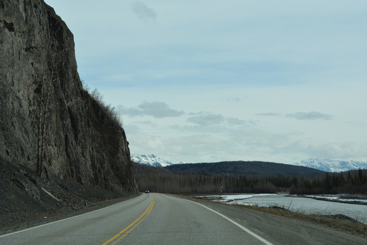
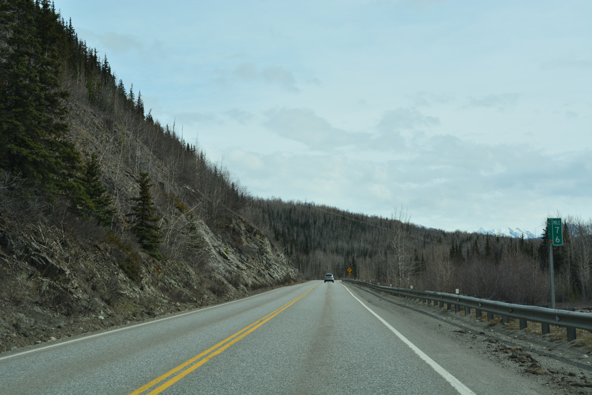
Kings Highway northbound near milepost 70.
05/07/23
05/07/23
05/07/23
05/07/23
05/07/23
05/07/23
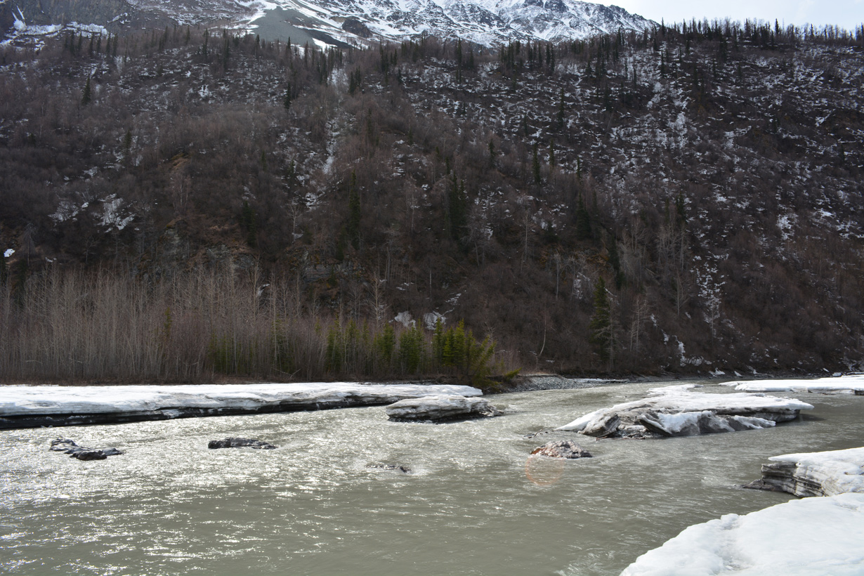
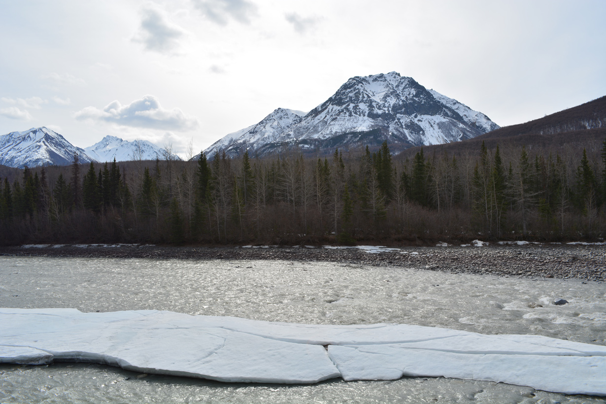
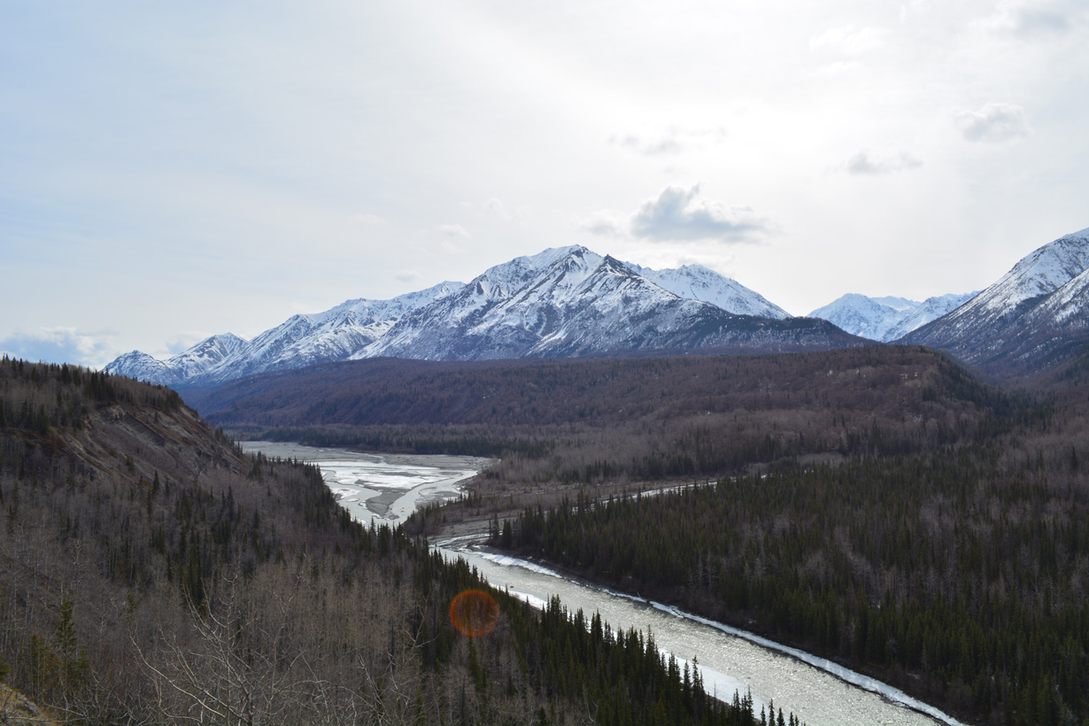
The Matanuska River from a turnout near mile marker 74.5.
05/07/23
05/07/23
05/07/23
05/07/23
05/07/23
07/22/23

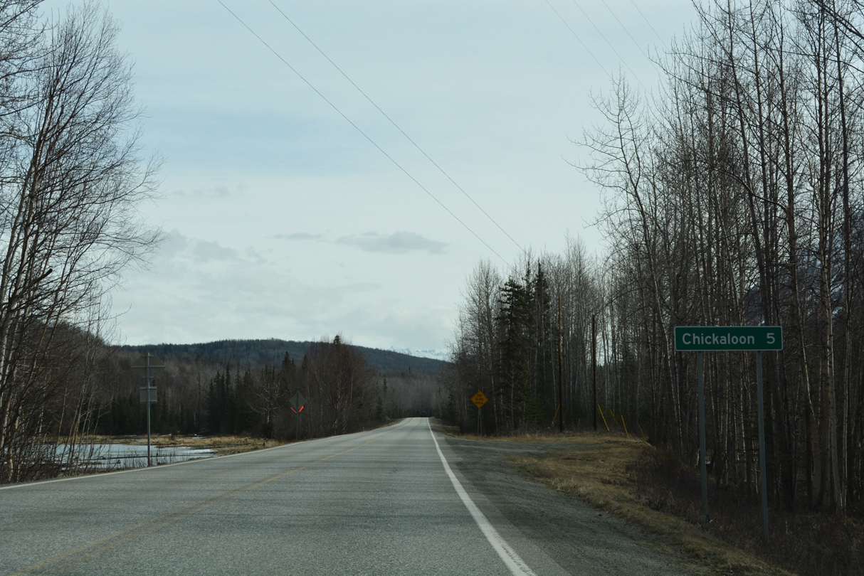
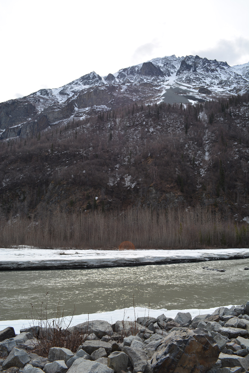
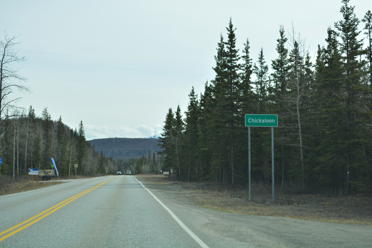
Looking downstream along the Matanuska River at Kings Mountain within the census designation place of Chickaloon.
05/07/23
05/07/23
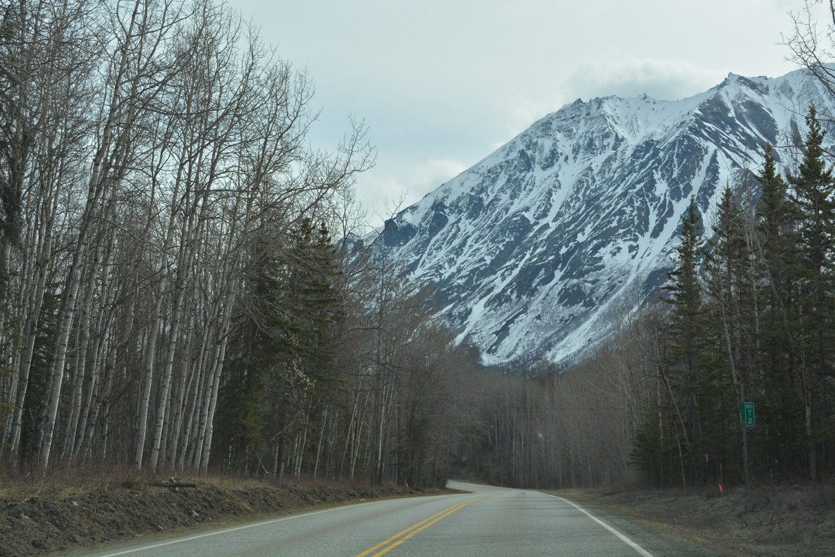
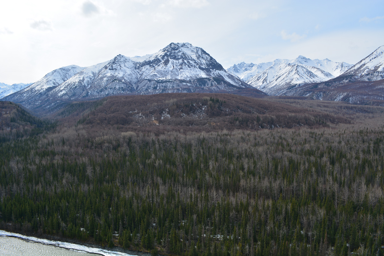
More of the Chugach Mountains to the south of Chickaloon.
05/07/23
05/07/23
Anthracite Ridge appears far to the northeast from Chickaloon.
05/07/23
05/07/23
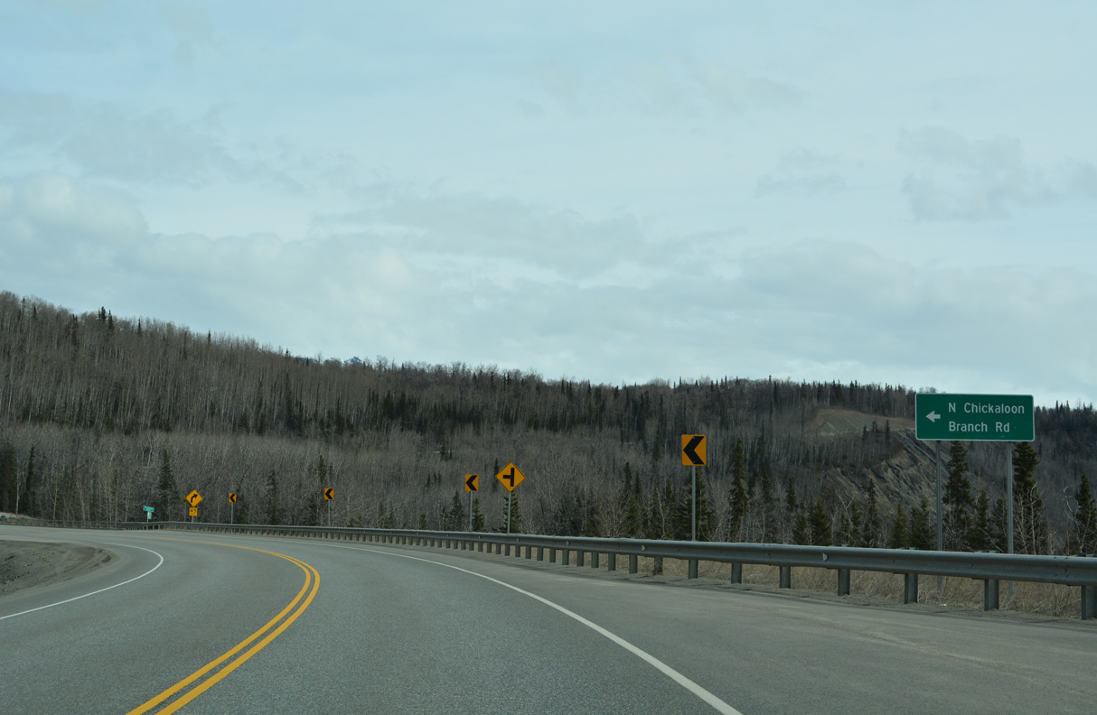
05/07/23
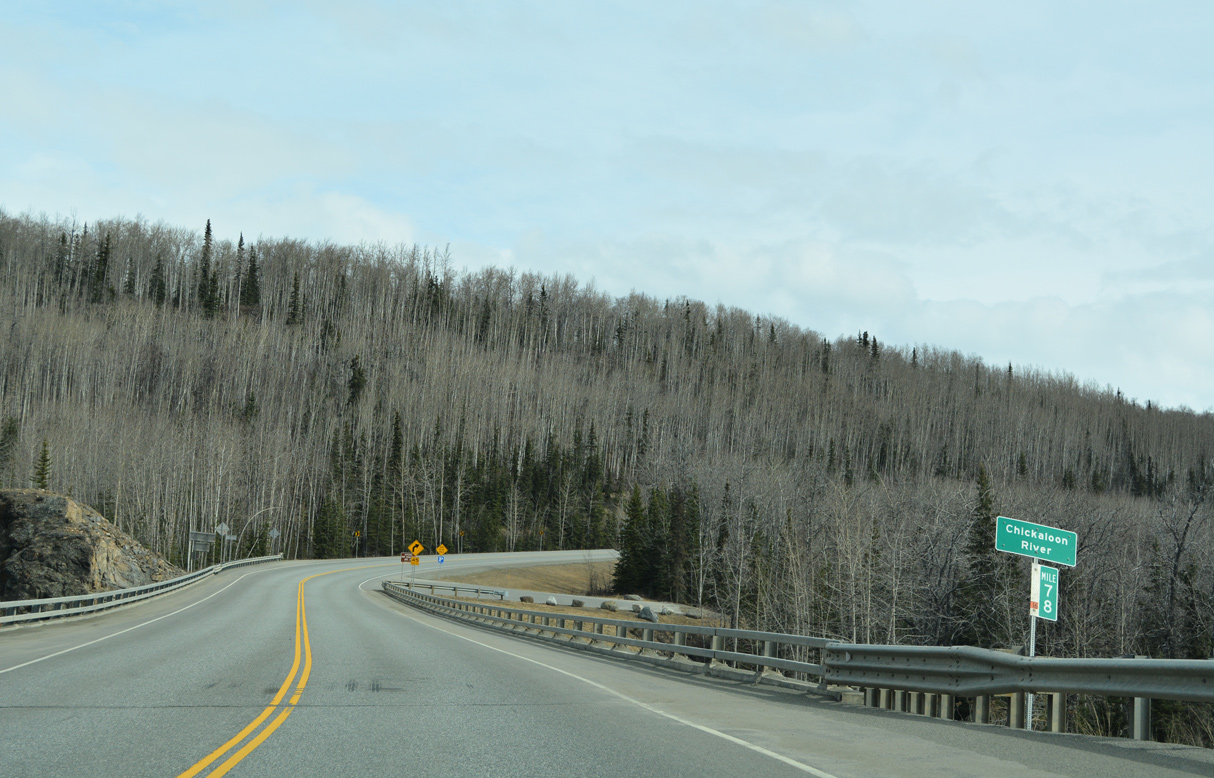
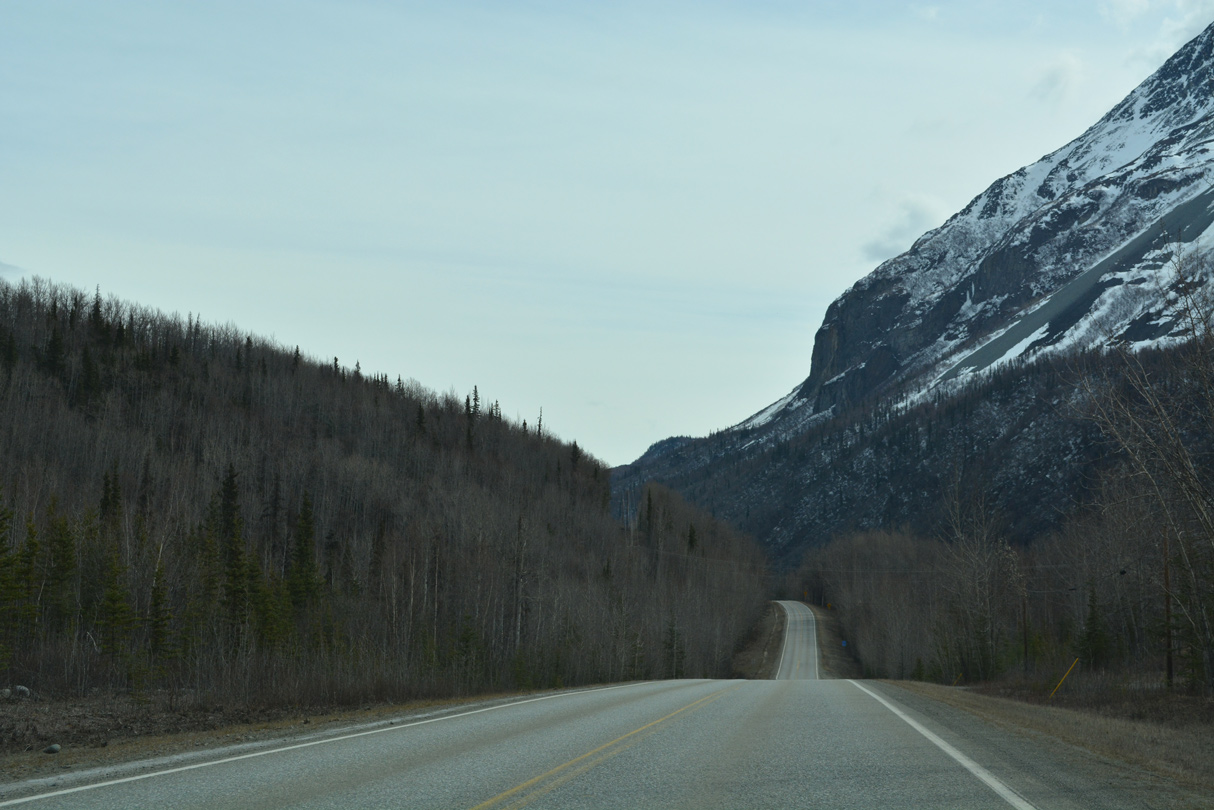
The Chickaloon River flows south from the Talkeetna Mountains into the Matanuska River near SR 1 at Glenn Highway milepost 78.
05/07/23
05/07/23

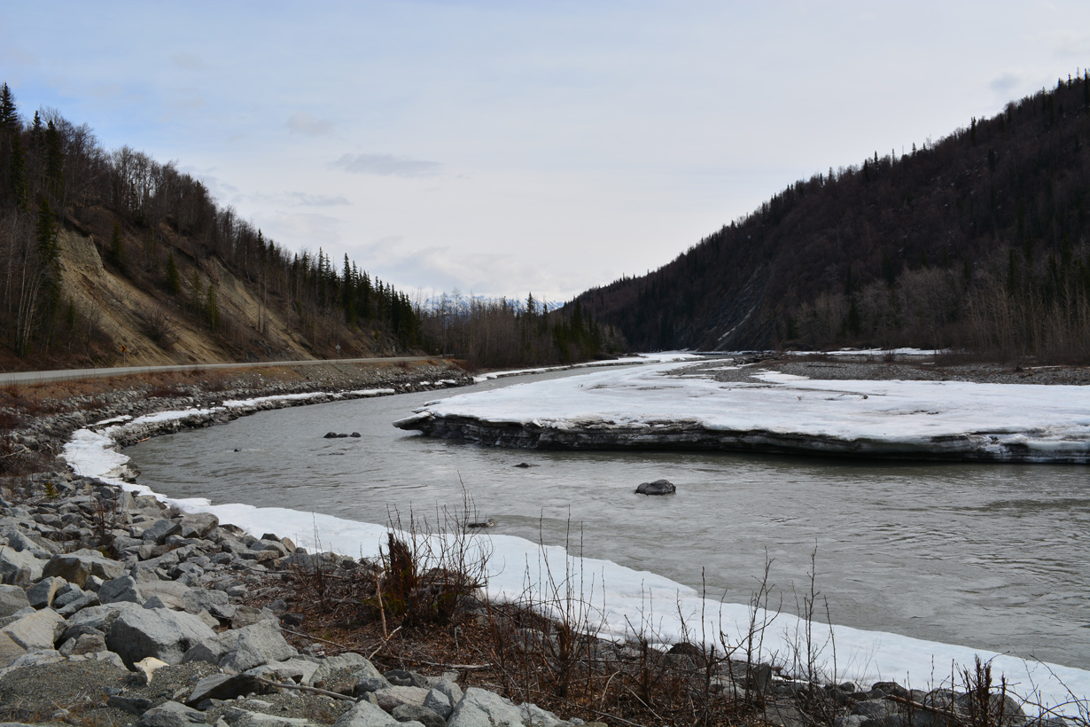
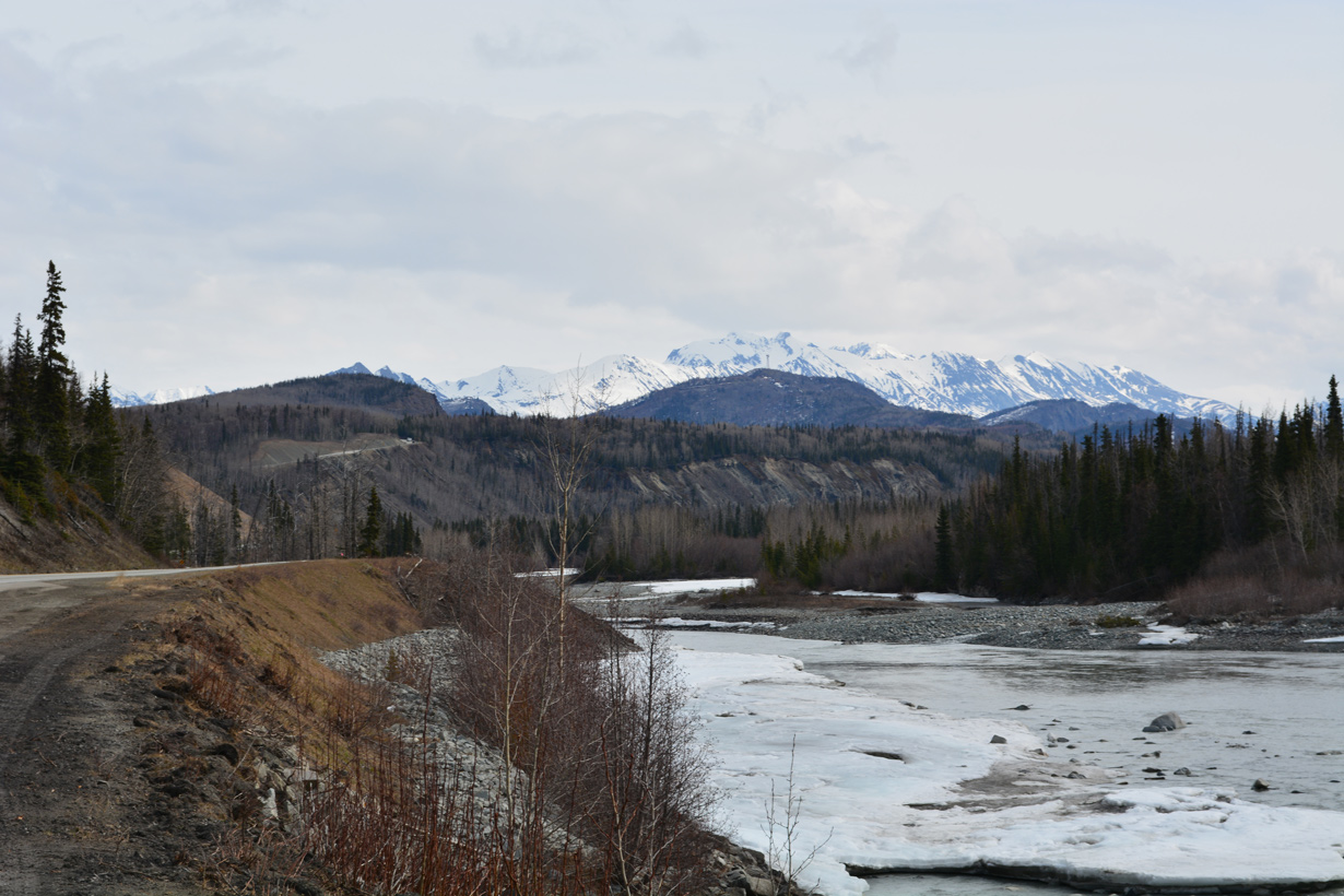
Viewing Kings Mountain and the Matanuska River west from SR 1 (Glenn Highway) at Chickaloon.
05/07/23
05/07/23
05/07/23
Coal Creek flows into the Matanuska River north from the Chugach Mountains.
05/07/23
05/07/23
05/07/23
05/07/23
05/07/23
References:
- Glenn Highway Rehabilitation Project MP 66.5-92 - Kings River Bridge fact sheet. https://highways.dot.gov/sites/ fhwa.dot.gov/files/gh_kings -river-bridge-fact-sheet_spring-2022.pdf Federal Highway Administration (FHWA).
- Glenn Highway - Project Overview. https://highways.dot.gov/federal -lands/projects/ak/dot-135-1 Federal Highway Administration (FHWA).
Photo Credits:
- Brent Ivy: 07/22/23
- Alex Nitzman: 05/07/23, 05/09/23
Page Updated Saturday June 10, 2023.