
State Route 1 South - Girdwood to Kenai Peninsula
 South
South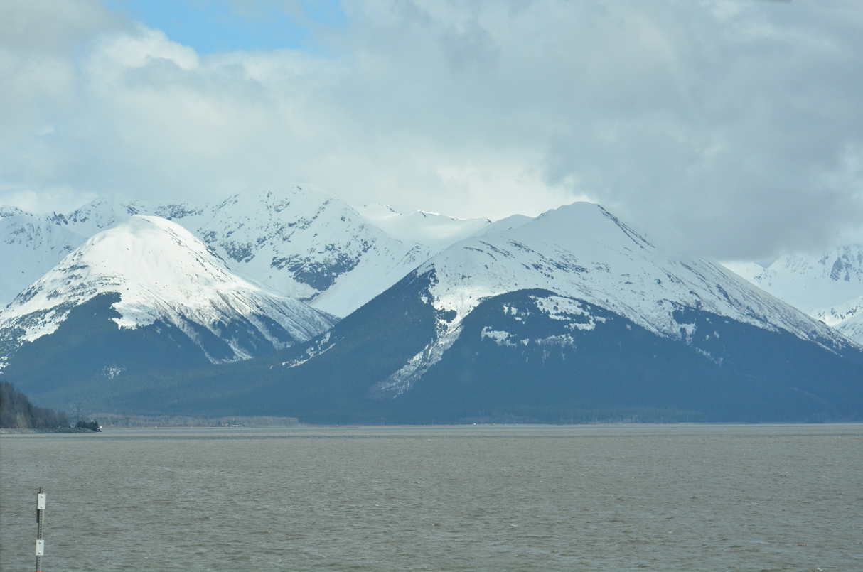
05/13/23
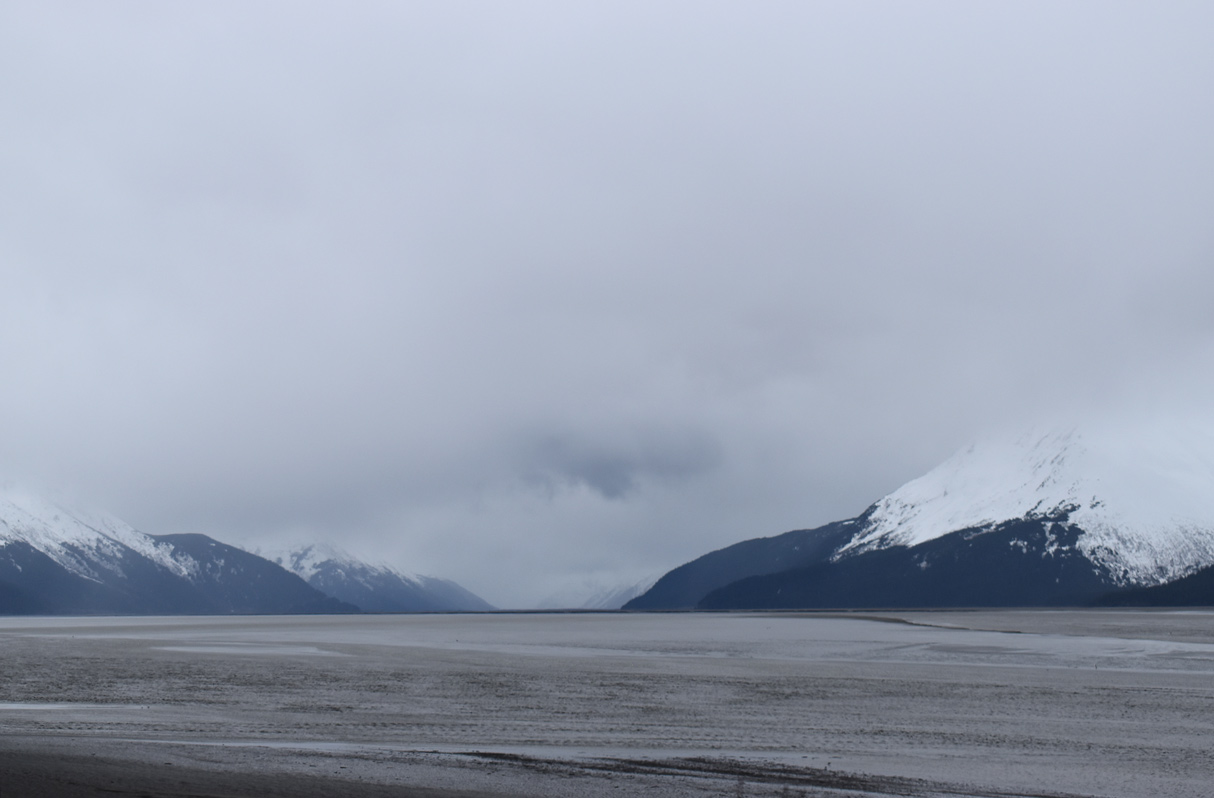
The Turnagain Arm mud flats south of Bird Point.
05/09/23
05/09/23
05/09/23
05/09/23
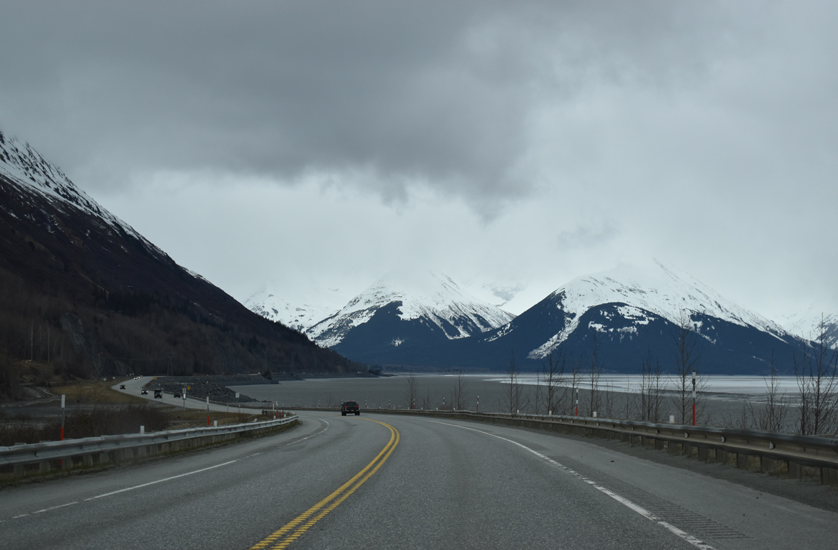
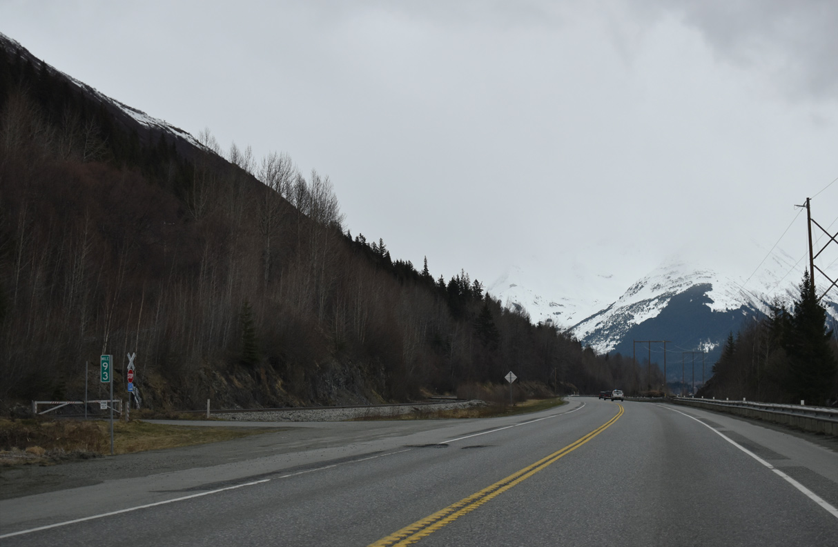
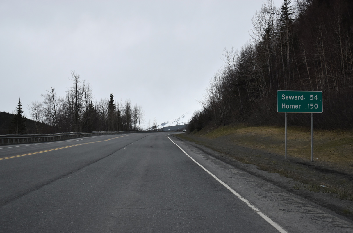
Looking south at the mud flats on Turnagain Arm near Seward Highway milepost 92.5
05/09/23
05/09/23
05/09/23
05/09/23
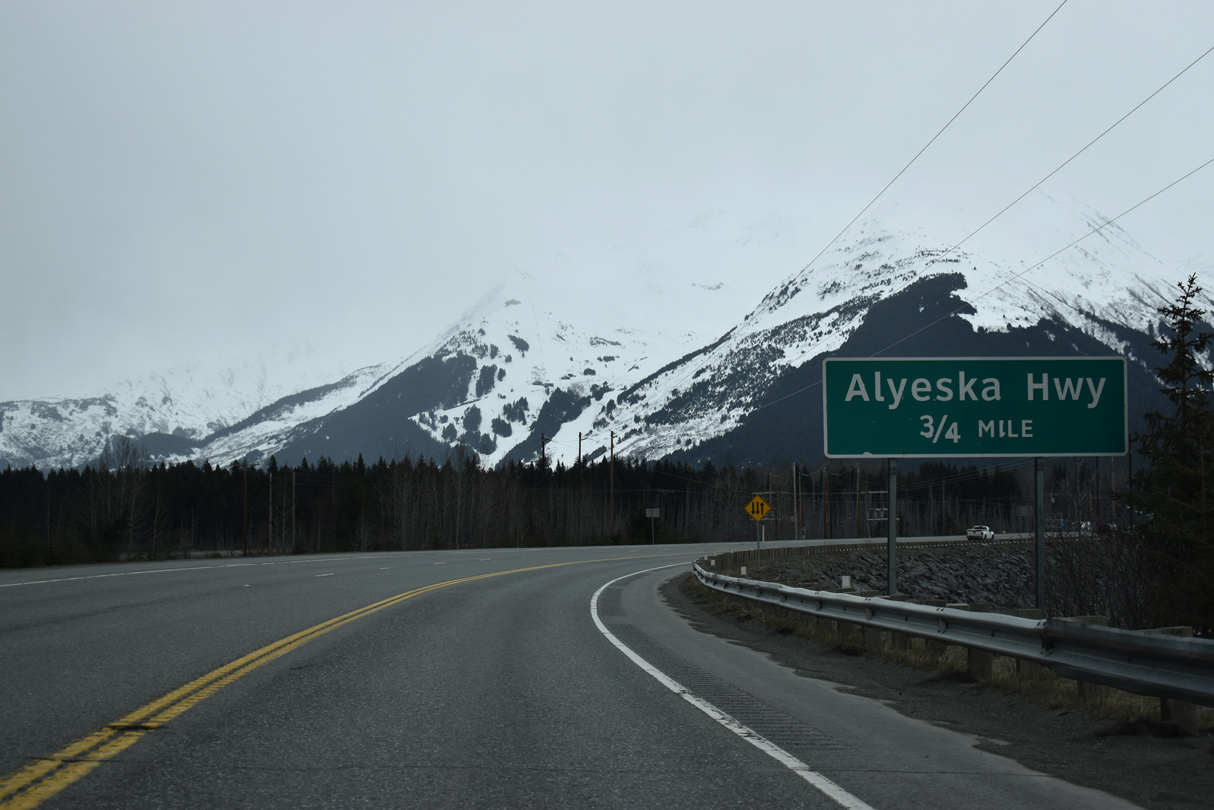
SR 1 curves east into the community of Girdwood where Seward Highway meets Alyeska Highway north.
05/09/23
05/09/23
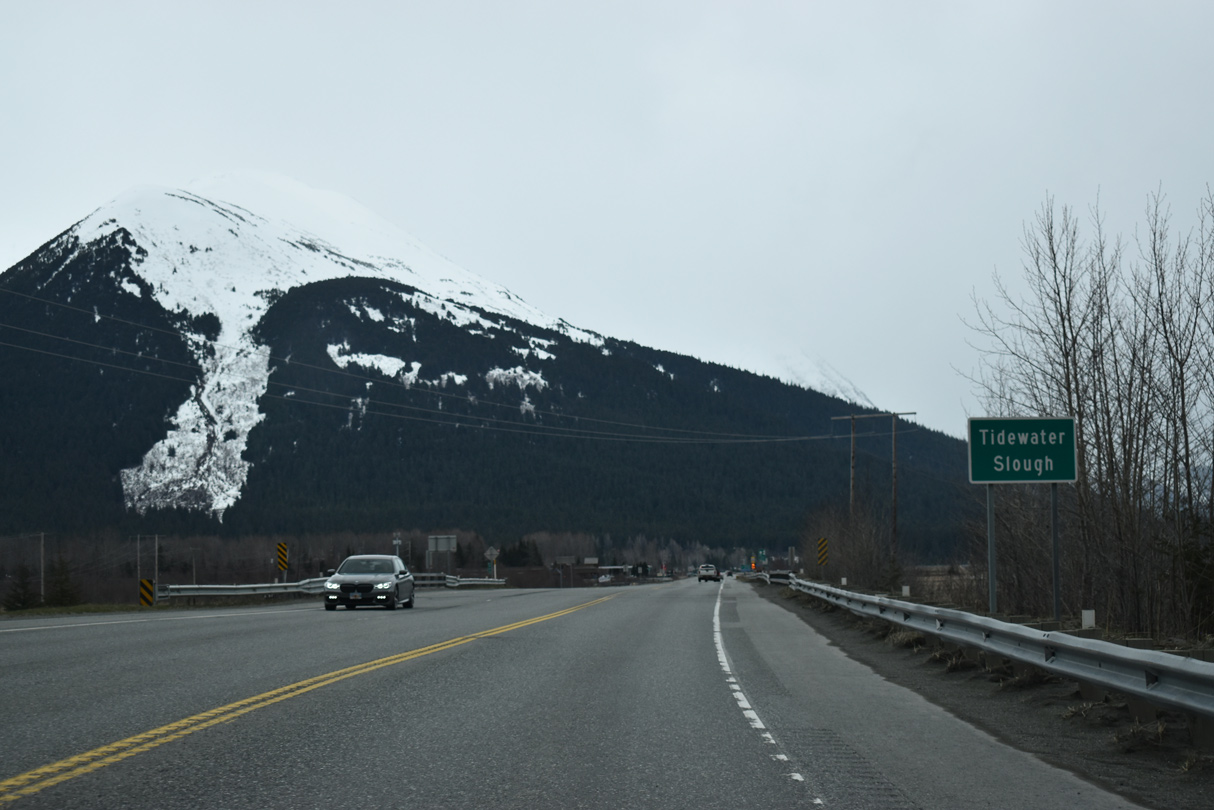
Mount Alyeska appears beyond Girdwood from SR 1 at Tidewater Slough.
05/09/23
05/09/23
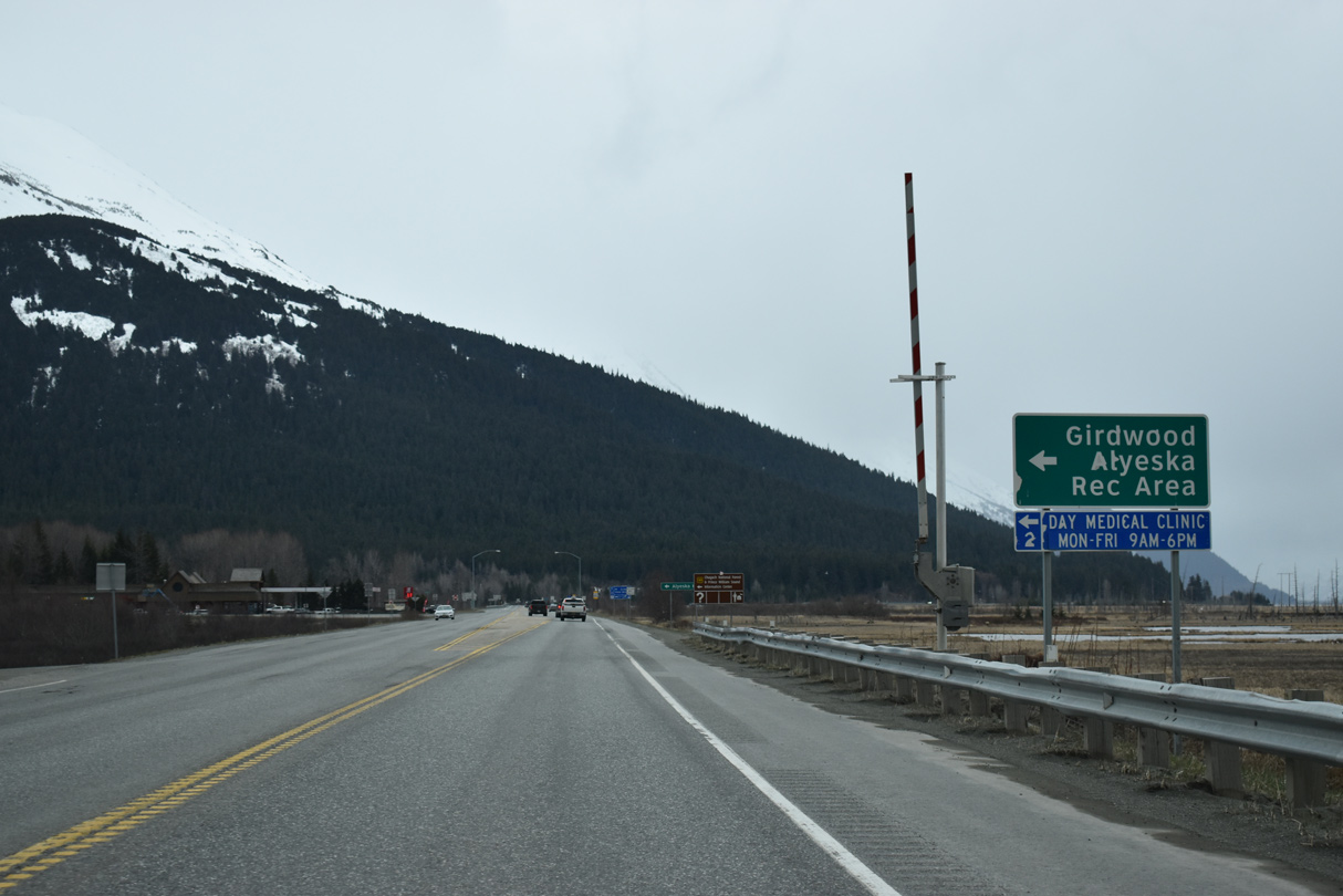
Alyeska Resort ski area lies at the end of Alyeska Highway in the community of Alyeska.
05/09/23
05/09/23
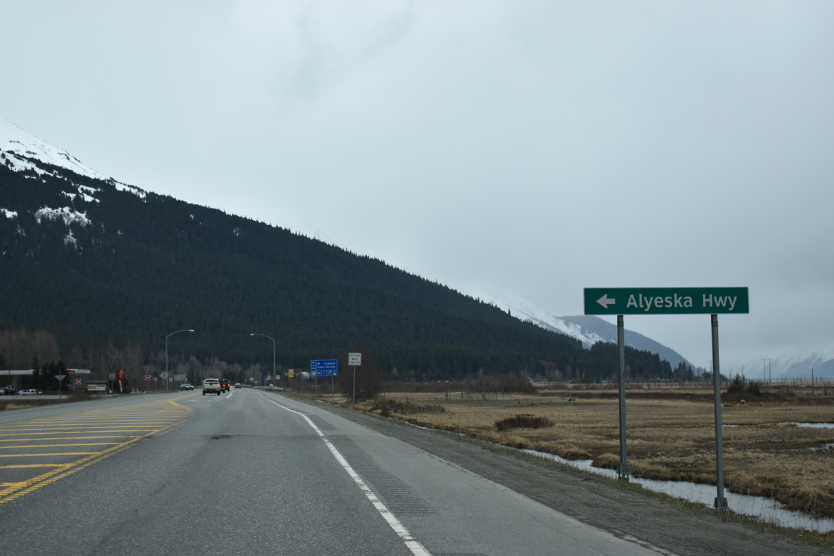
Alyeska Highway arcs 2.93 miles northeast from SR 1 at Girwood to Arlberg Avenue in Alyeska.
05/09/23
05/09/23
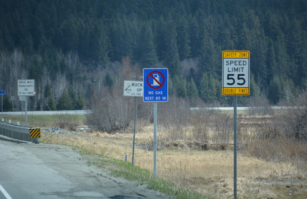
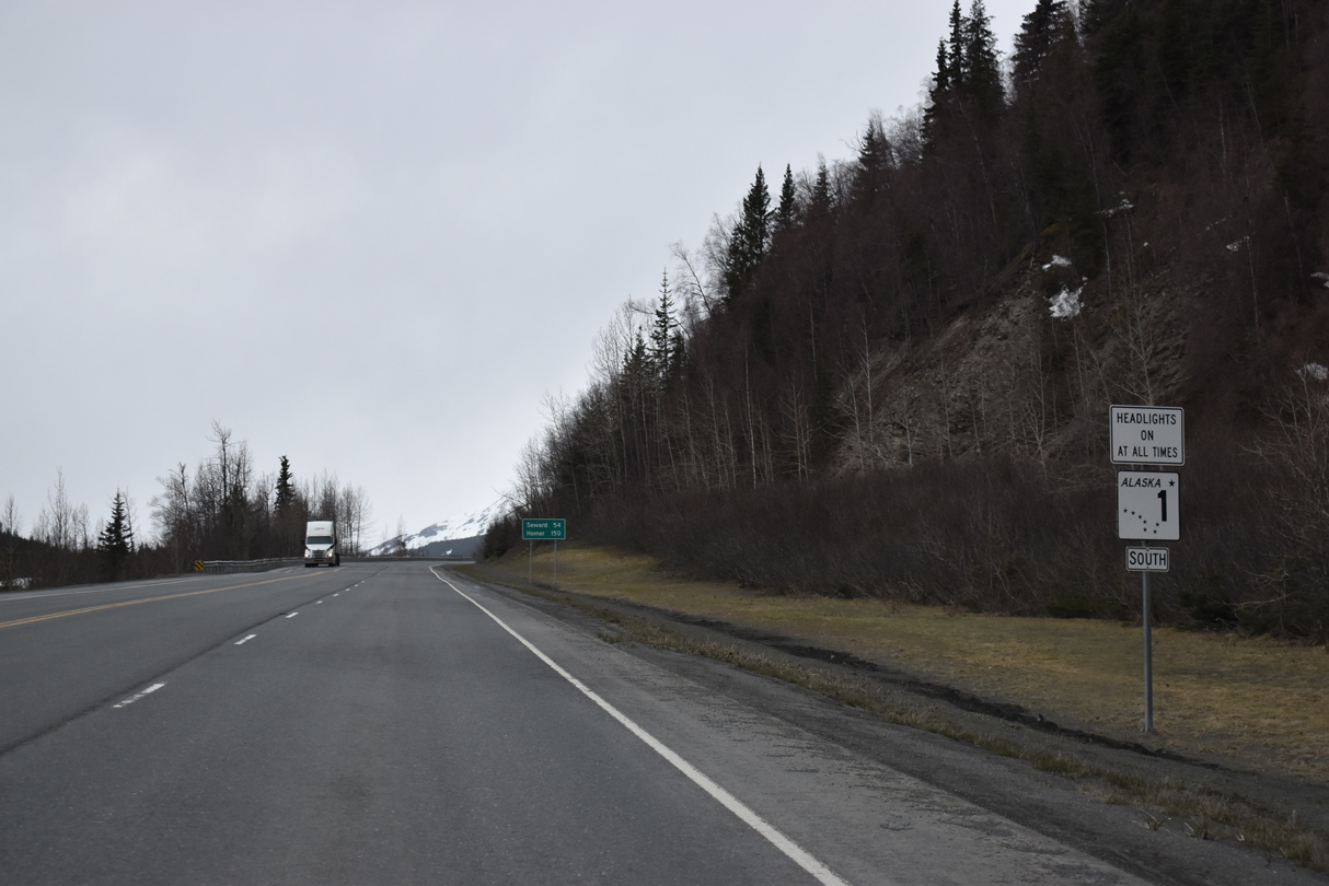
Girdwood represents the last gas station along SR 1 southbound for 85 miles until Soldotna.
05/13/23
05/13/23
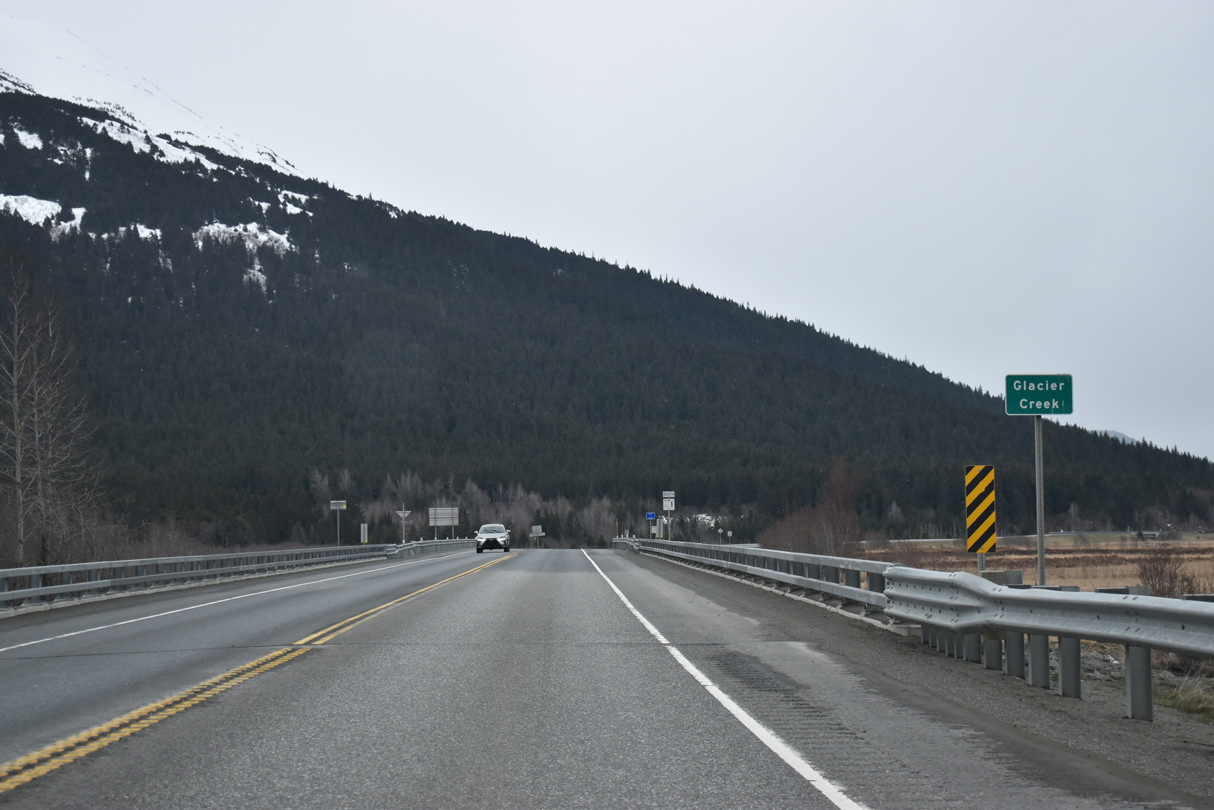
SR 1 (Seward Highway) crosses Glacier Creek southeast of Main Street in Girdwood.
05/09/23
05/09/23

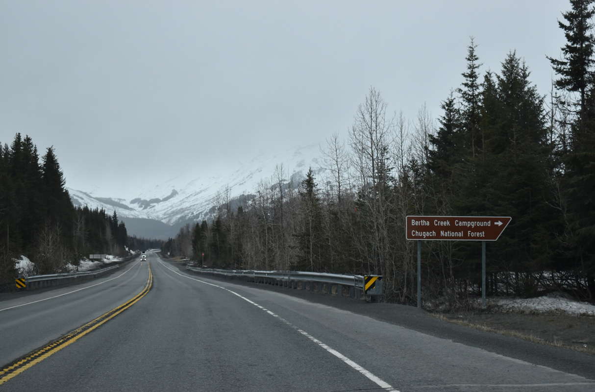
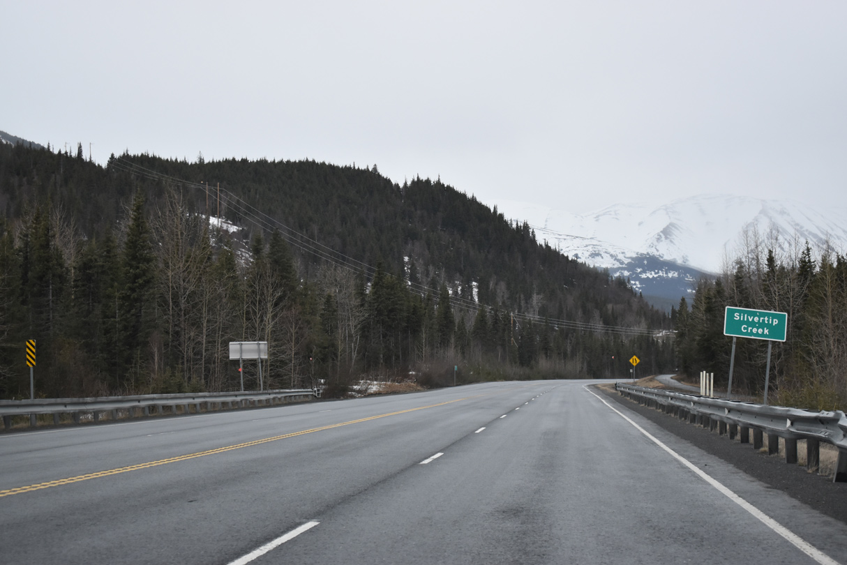
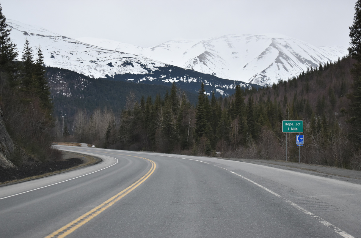
The last reassurance for SR 1 south posted until Hope junction stands beyond Glacier Creek.
05/09/23
05/09/23
05/09/23
05/09/23

05/09/23
05/09/23
05/09/23
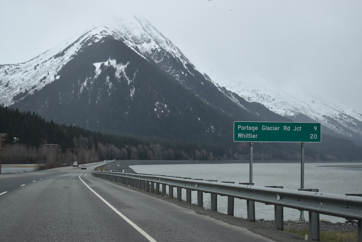
The turn off from SR 1 (Seward Highway) for Whittier is nine miles ahead at Portage Glacier Road.
05/09/23
05/09/23

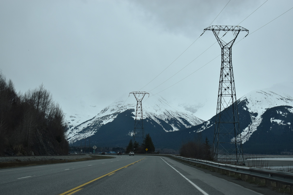
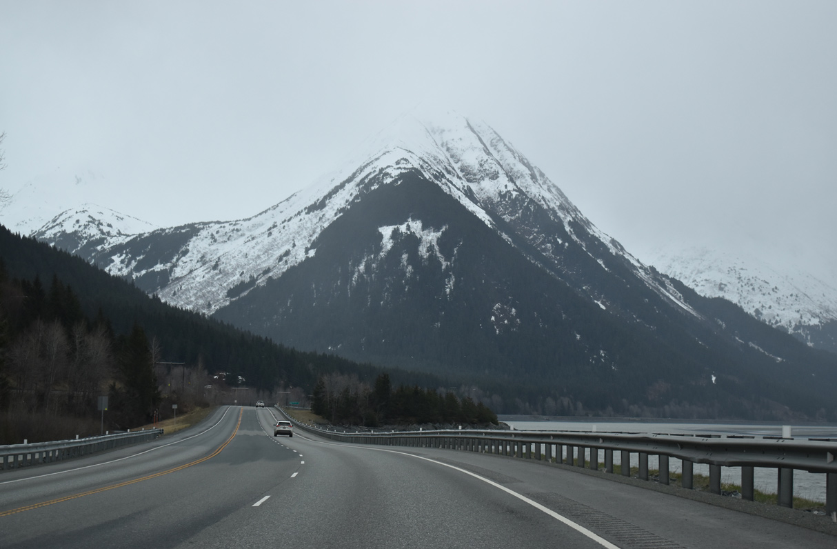
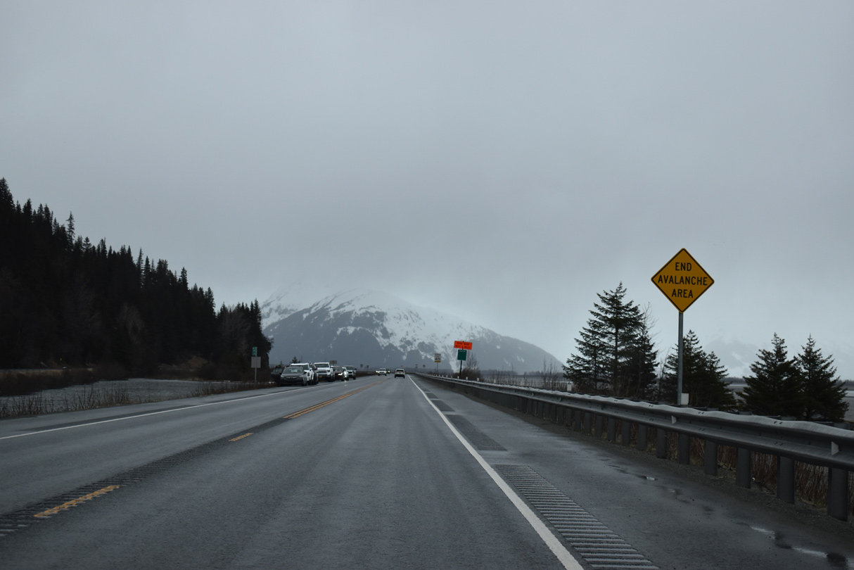
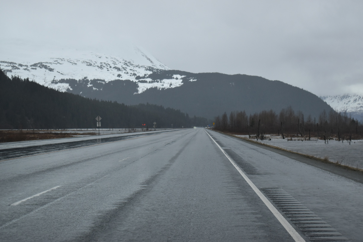
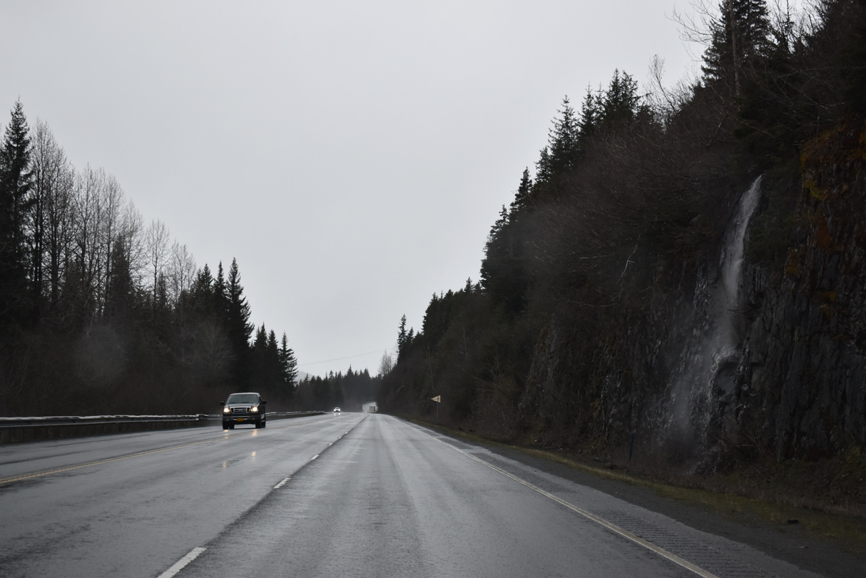
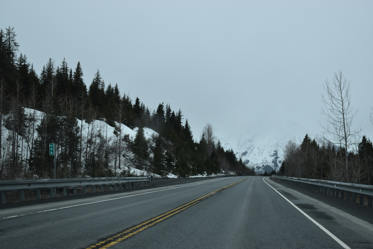
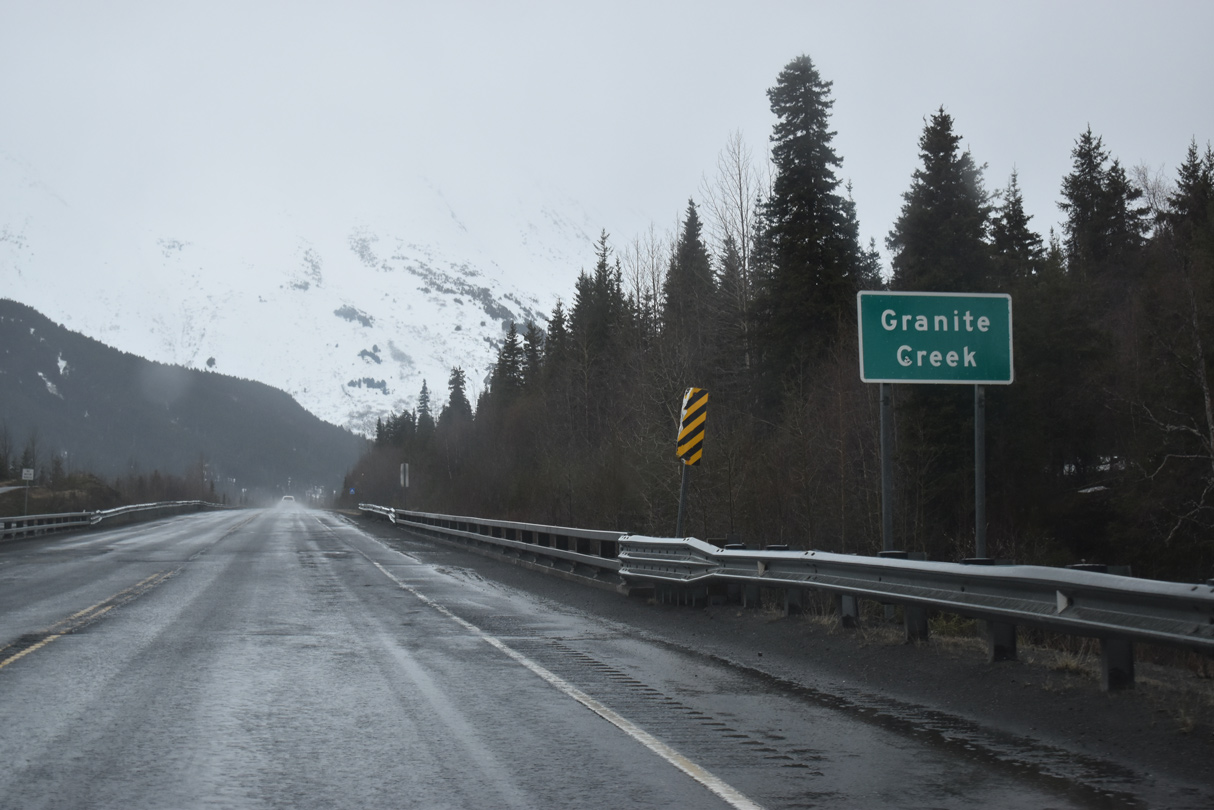
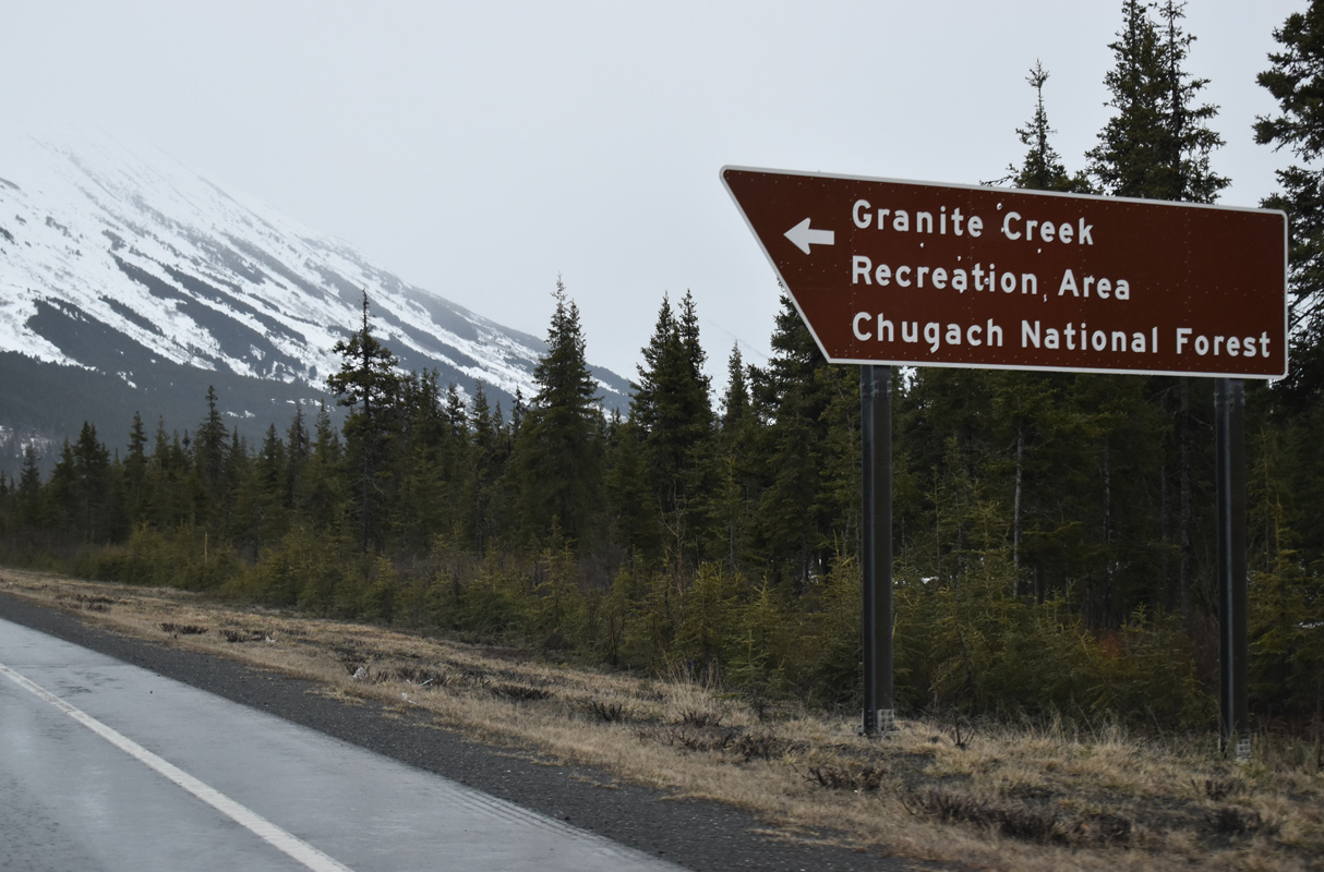
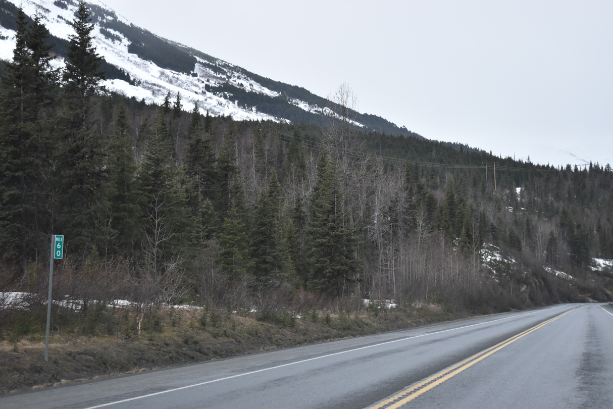
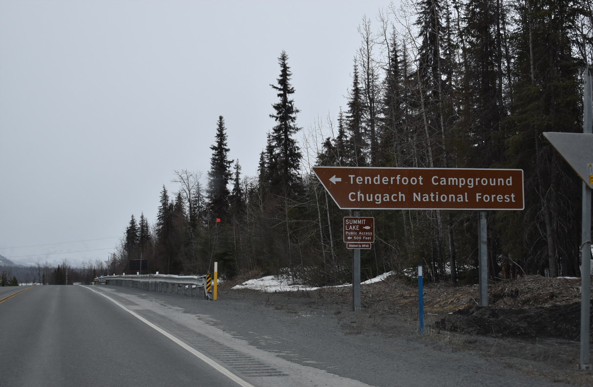
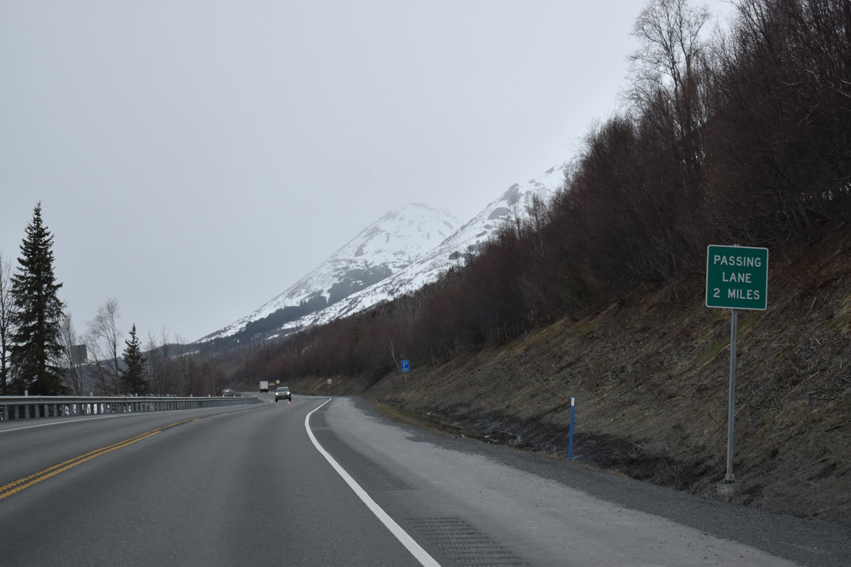
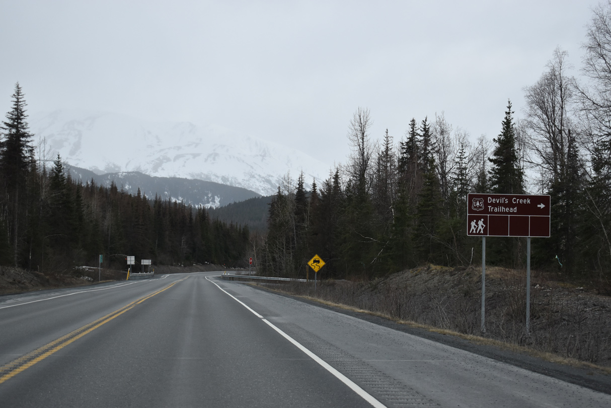
SR 1 south enters Chugach National Forest near Seward Highway mile marker 86.
05/09/23
05/09/23
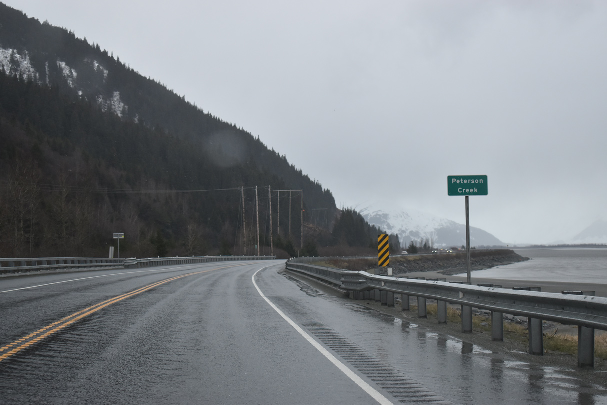
Peterson Creek drains into Turnagain Arm west from Blueberry Hill.
05/09/23
05/09/23
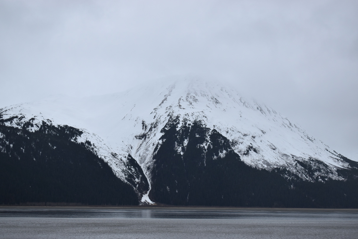
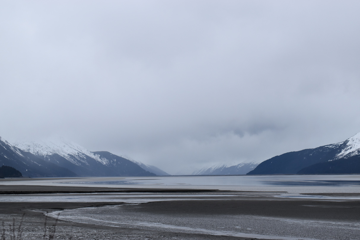
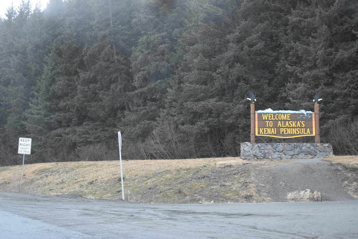
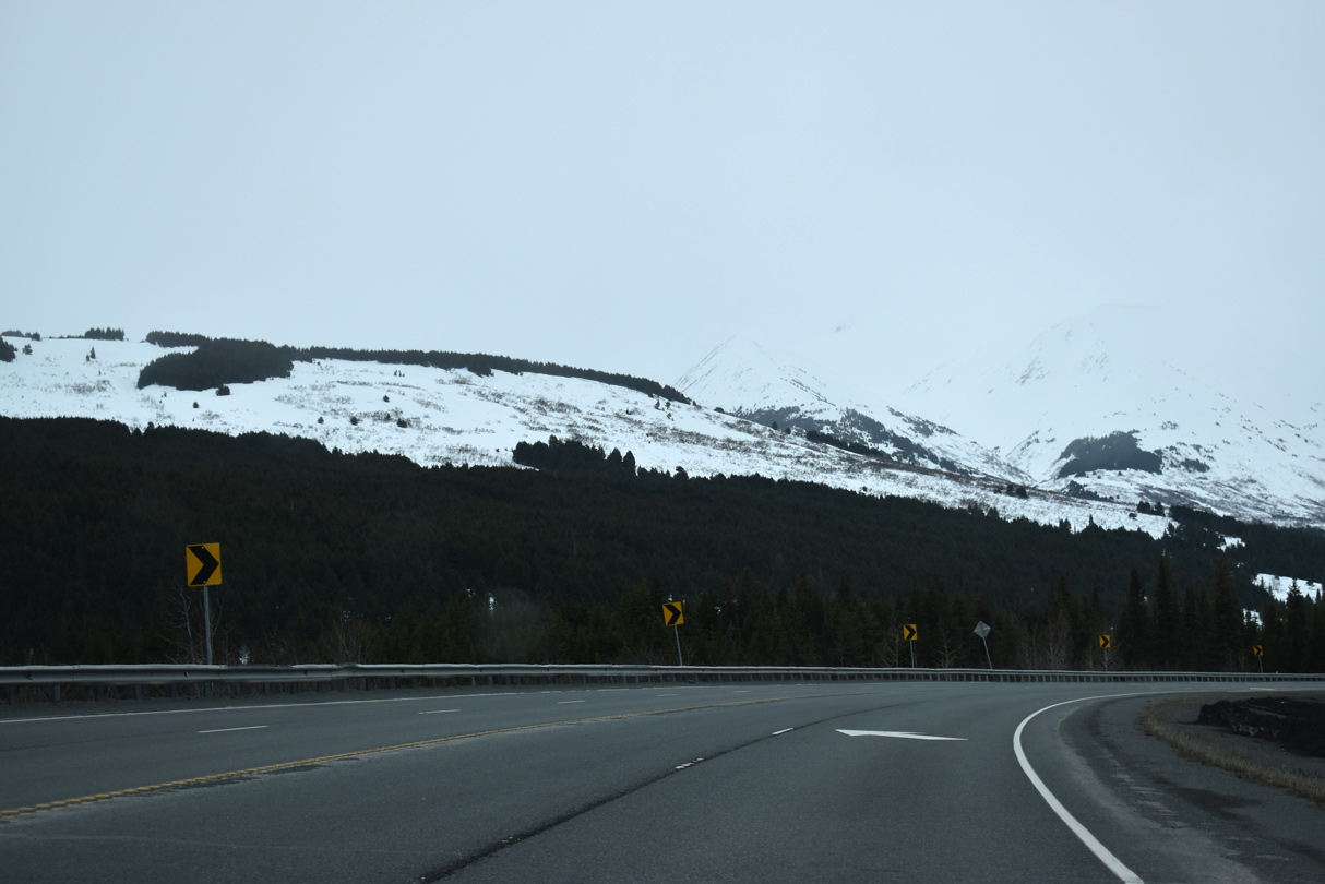
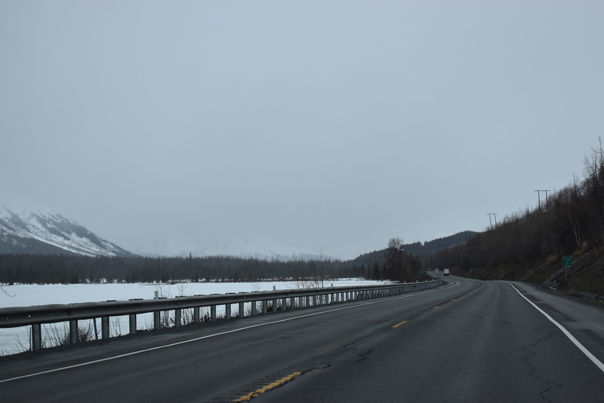
Mountains on the Kenai Peninsula to the south of Turnagain Arm at Seattle Creek.
05/09/23
05/09/23
05/09/23
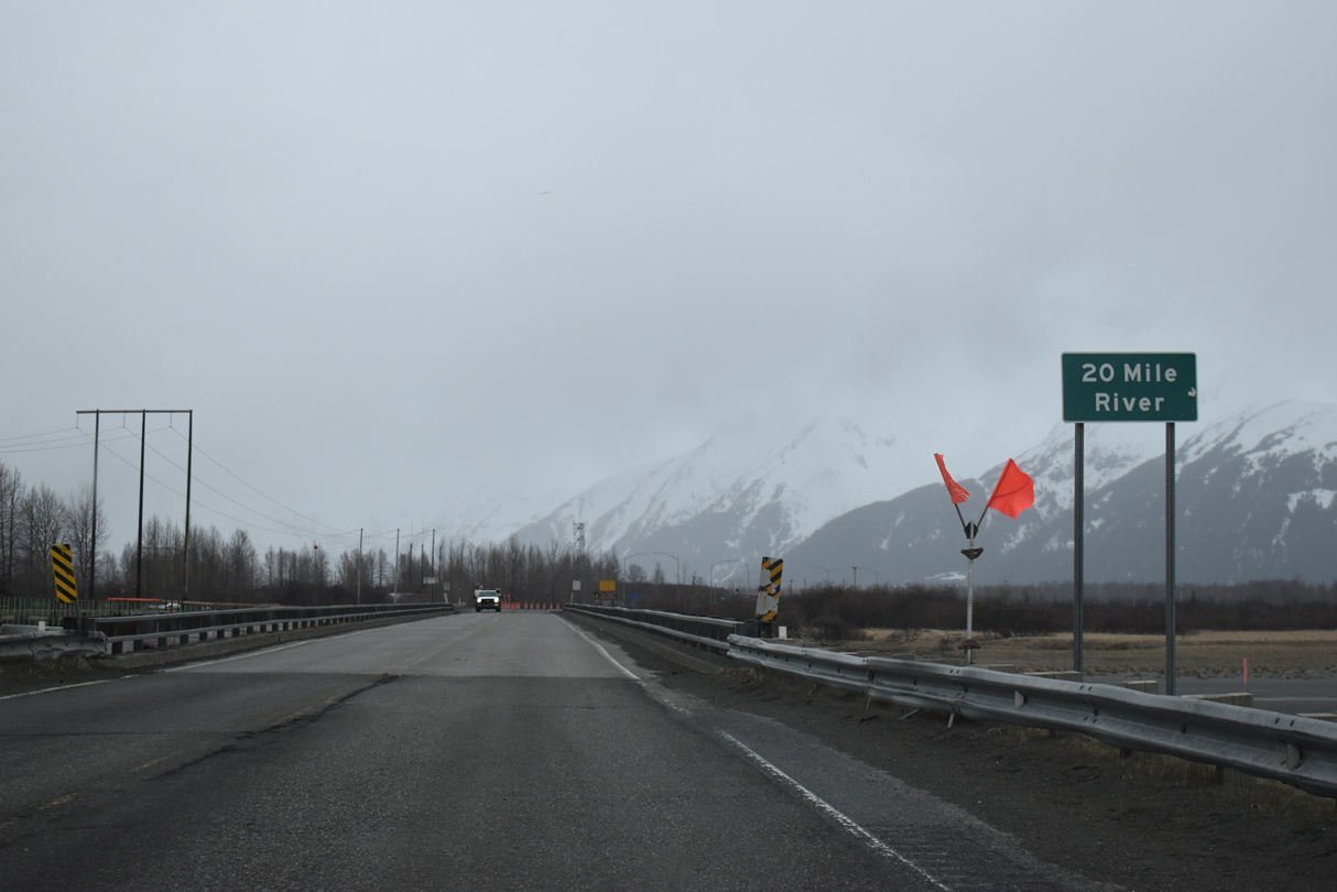
Seward Highway spans 20 Mile River at the former town site of Portage.
05/09/23
05/09/23

SR 1 south at the Alaska Railroad Portage Depot.
05/09/23
05/09/23
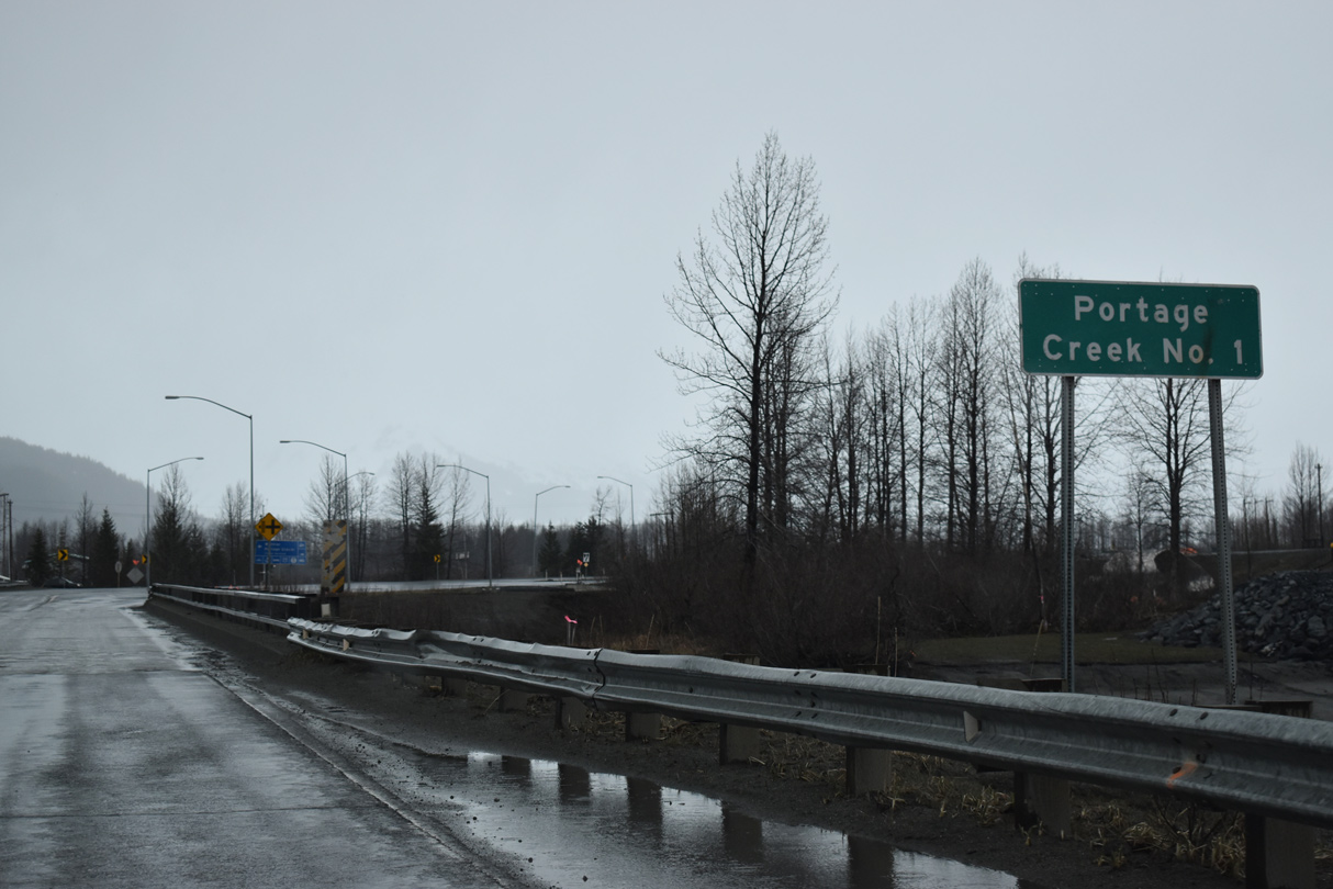
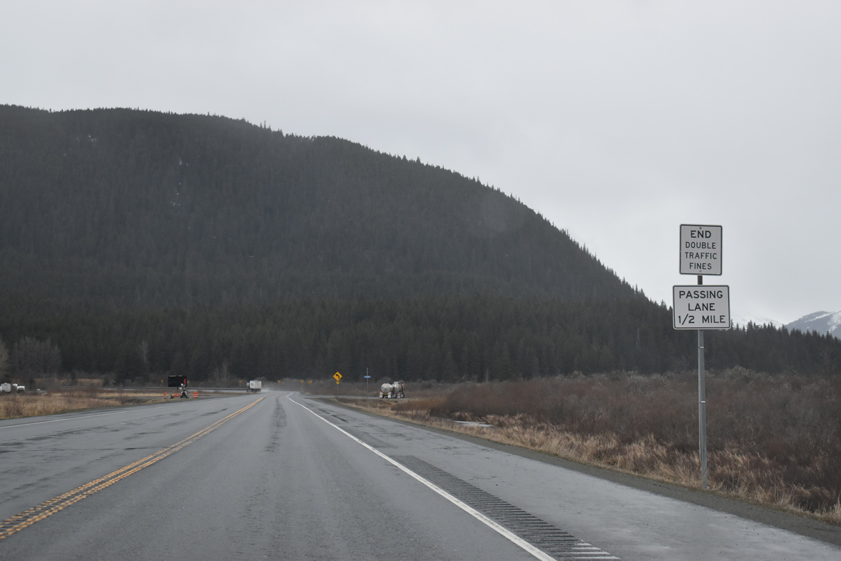
The bridge over Portage Creek Number One is one of nine being replaced by the Seward Highway Milepost 75-90 Rehabilitation Project underway from 2018 through 2023.1
05/09/23
05/09/23
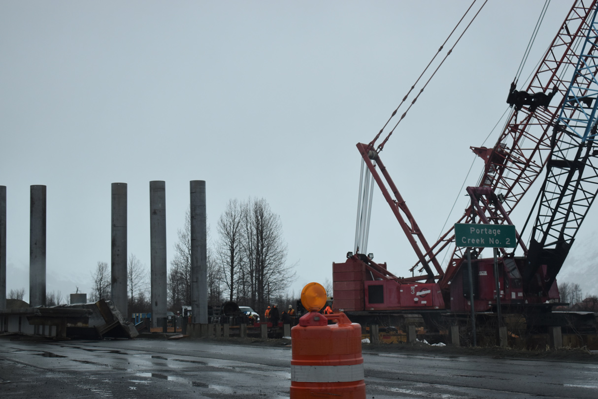
Portage Glacier Highway stems 5.13 miles east from SR 1 just beyond Portage Creek Number Two to Whittier Access Road. Whittier is 9.39 miles to the east beyond the Anton Anderson Memorial Tunnel.
05/09/23
05/09/23

Bartlett Glacier and Spencer Lake feed the waters along Placer River to the south.
05/09/23
05/09/23
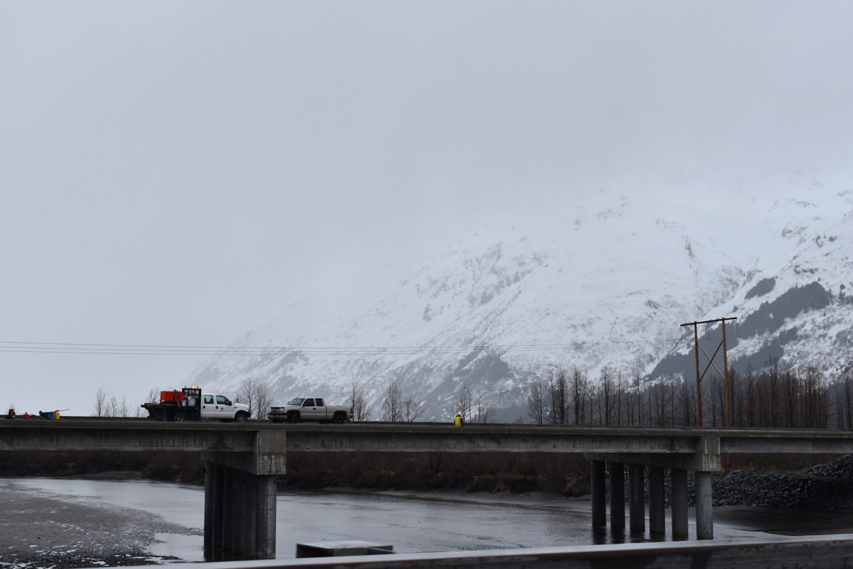
The Seward Highway Milepost 75-90 Rehabilitation Project constructs a new span for SR 1 across the Placer River.
05/10/23
05/10/23
Placer River Overflow
05/09/23
05/09/23
05/09/23
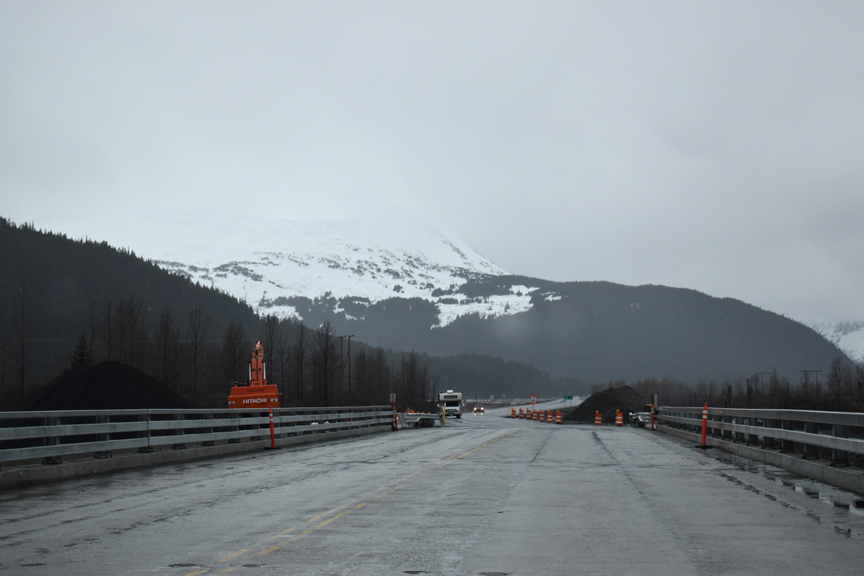
SR 1 (Seward Highway) plies across an area of wetlands by the mouth of the Placer River.
05/09/23
05/09/23
05/09/23
05/09/23
05/09/23
05/09/23
05/09/23
05/09/23
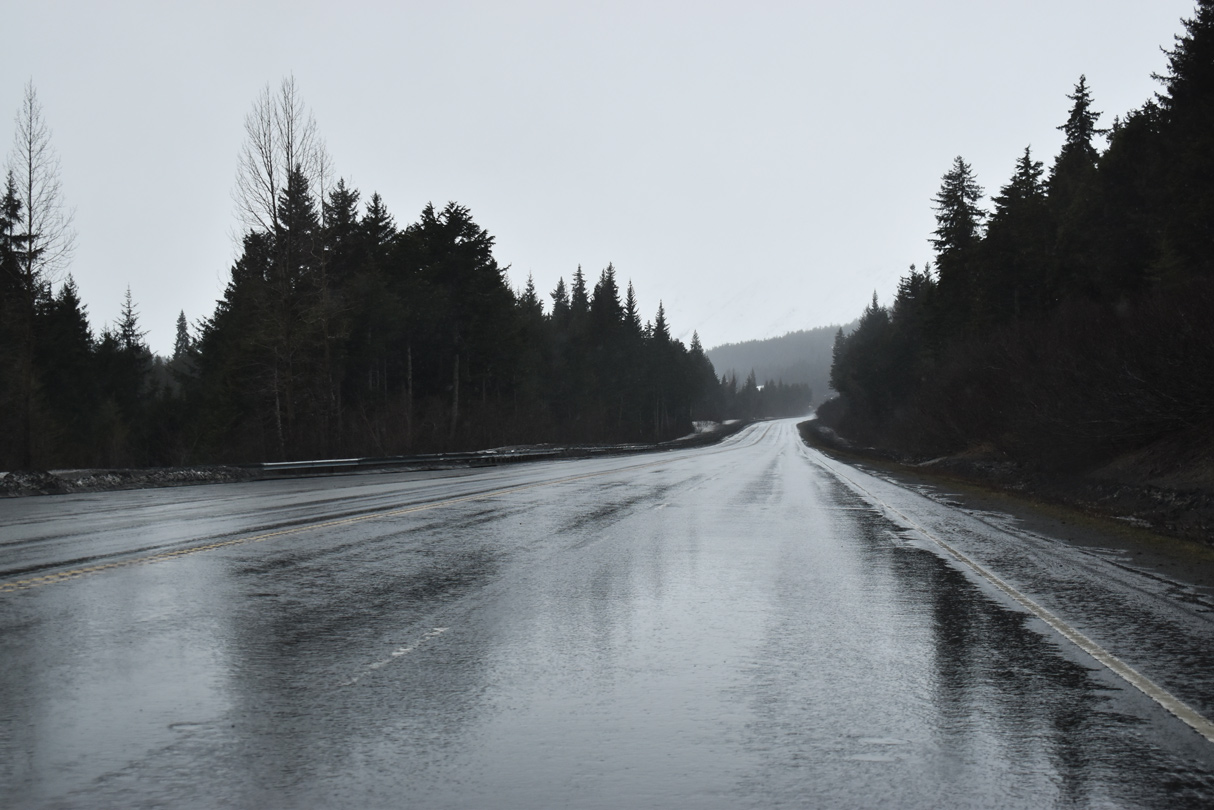
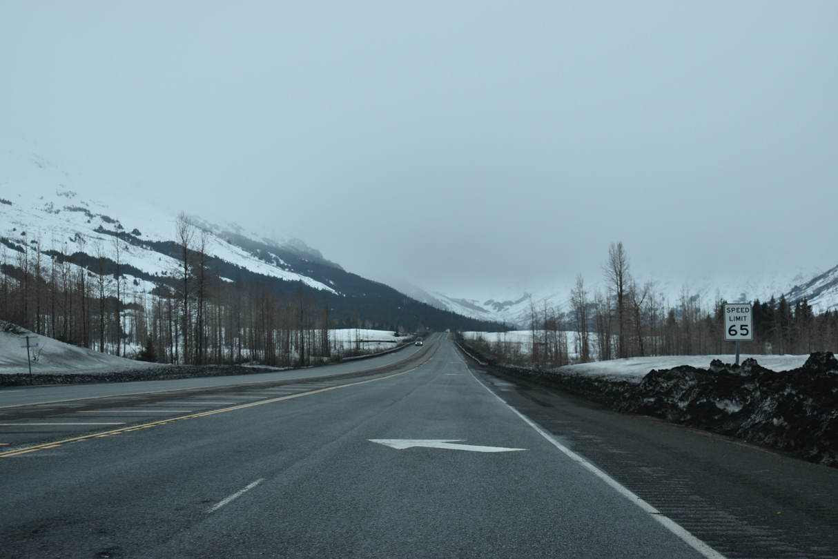
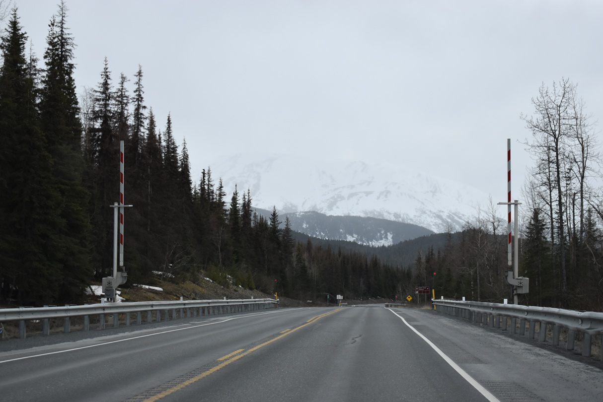
SR 1 south at Turnagain Pass.
05/09/23
05/09/23
05/09/23
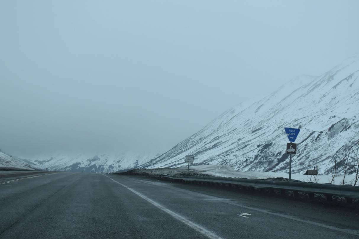
Turnagain Rest Area
05/09/23
05/09/23
05/09/23
05/09/23
05/09/23
05/09/23
05/09/23
05/09/23
05/09/23
05/09/23
05/09/23

05/09/23
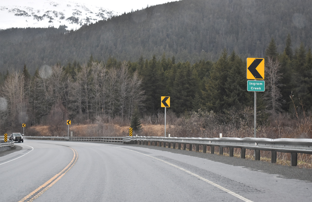
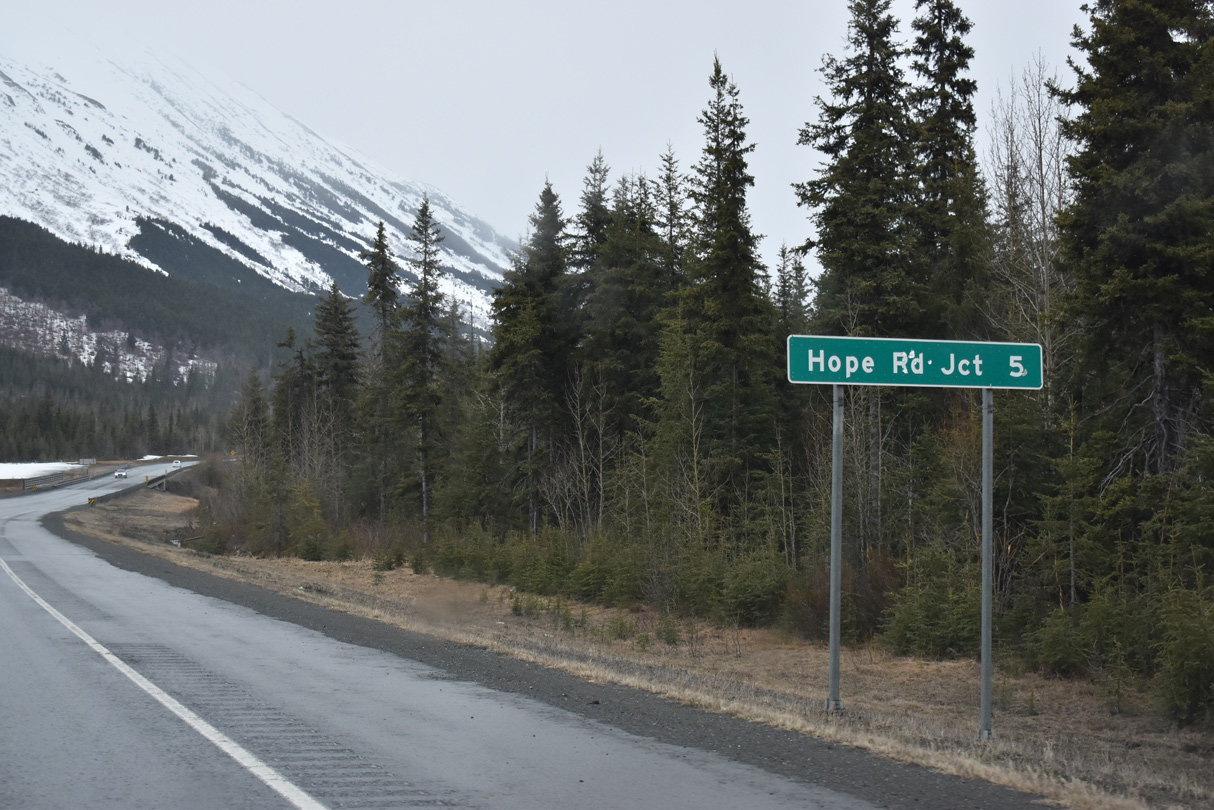
SR 1 (Seward Highway) parallels the East Fork of Sixmile Creek northwest to Hope Road.
05/09/23
05/09/23
Seward Highway was realigned onto a straighter course leading northwest to Hope junction. Portions of the former route were repurposed into a multi use trail.
05/09/23
05/09/23
05/09/23
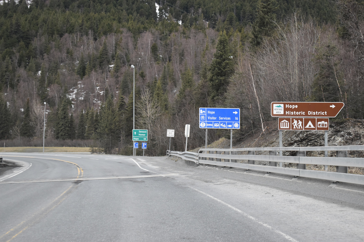
The community of Hope lies along the south coastline of Turnagain Arm.
05/09/23
05/09/23
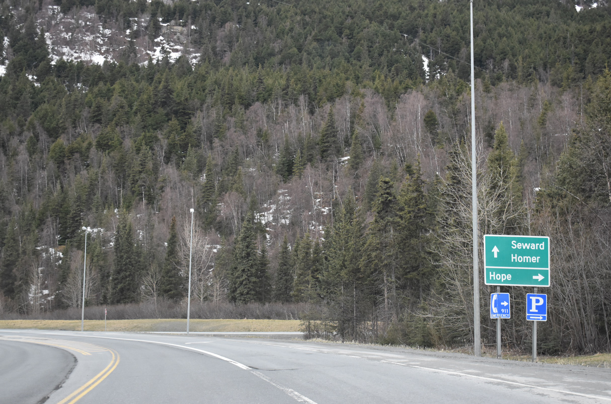
Hope Road spurs 17.90 miles north to Sunrise and west to Hope.
05/09/23
05/09/23
05/09/23
05/09/23
05/09/23
05/09/23
05/09/23
05/09/23
05/09/23
05/09/23
05/09/23
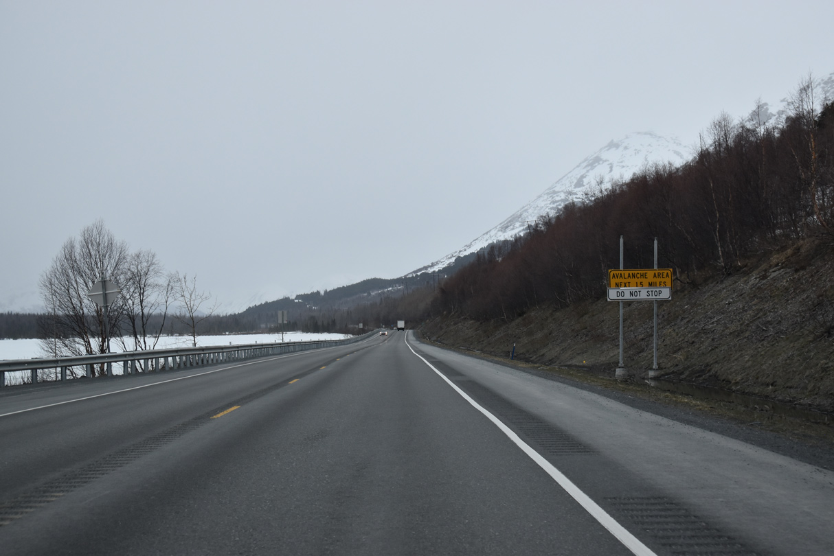
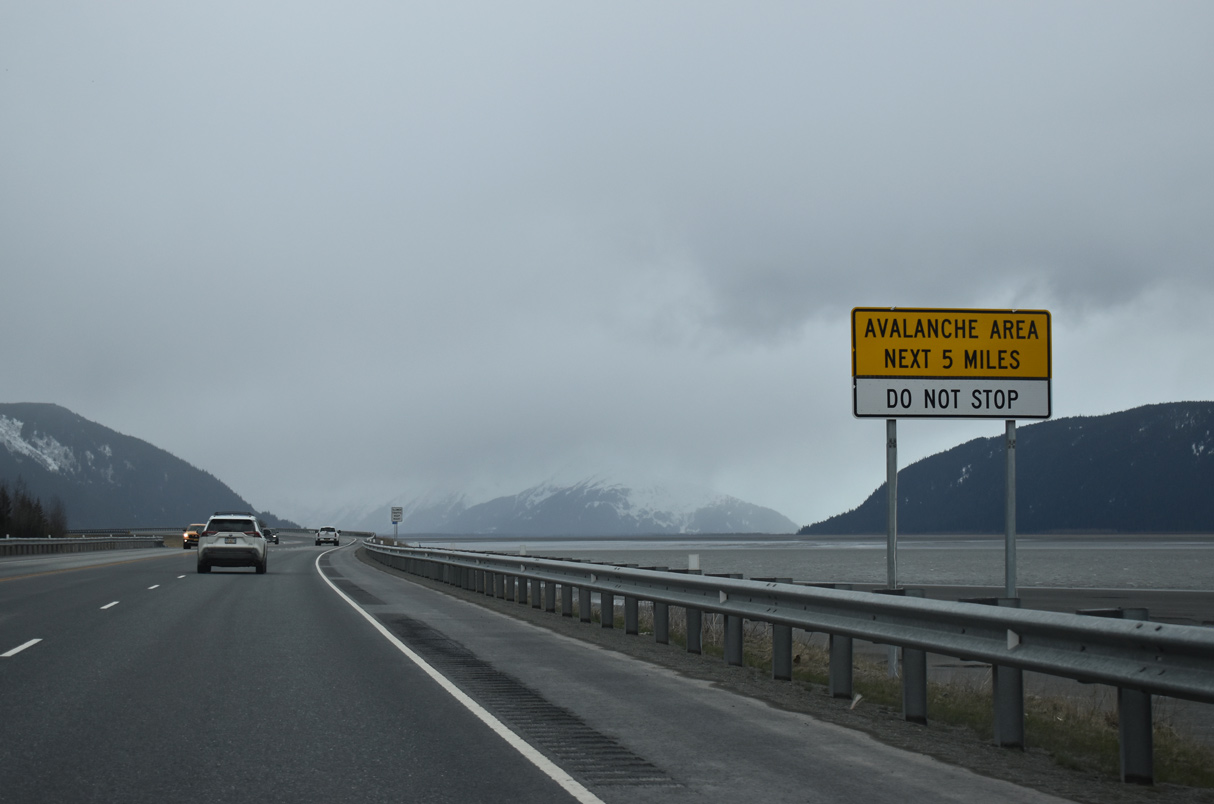
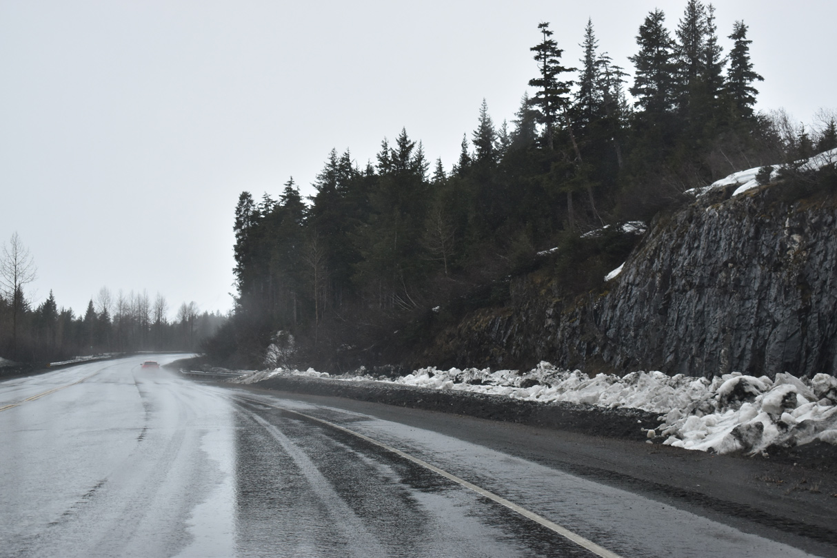
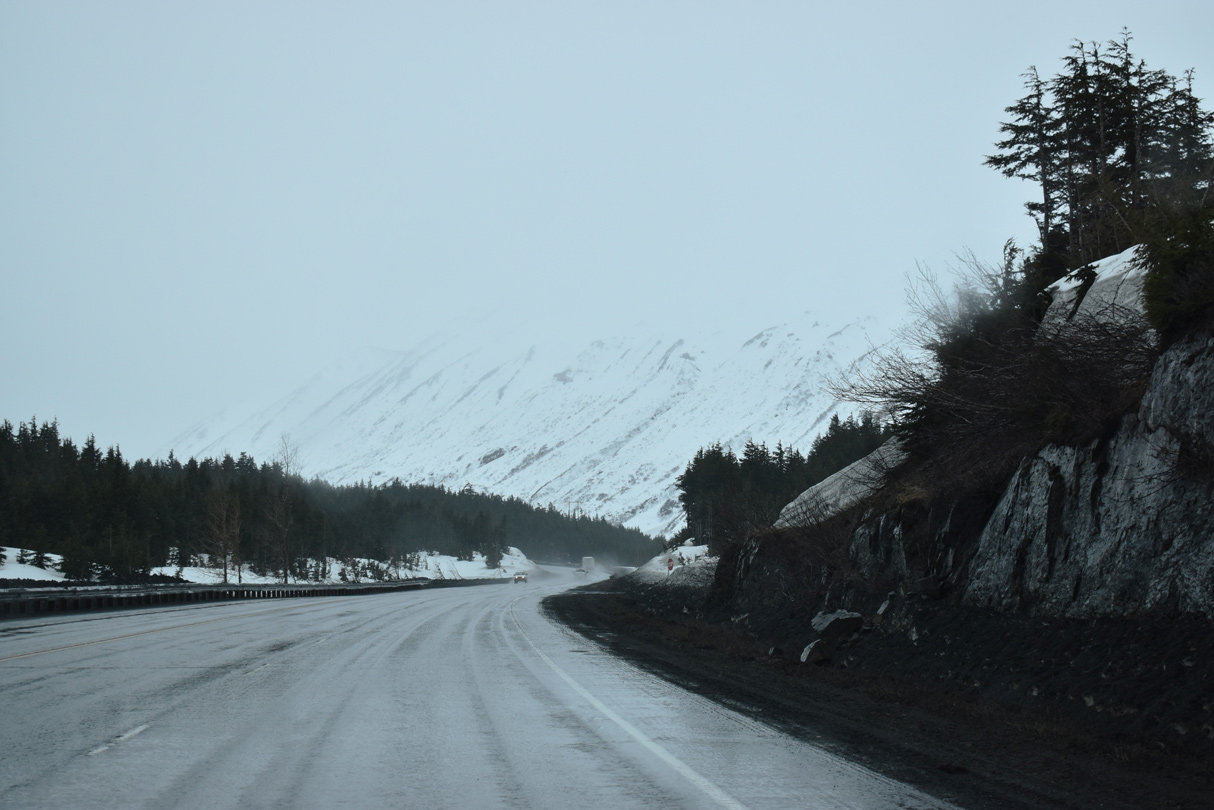
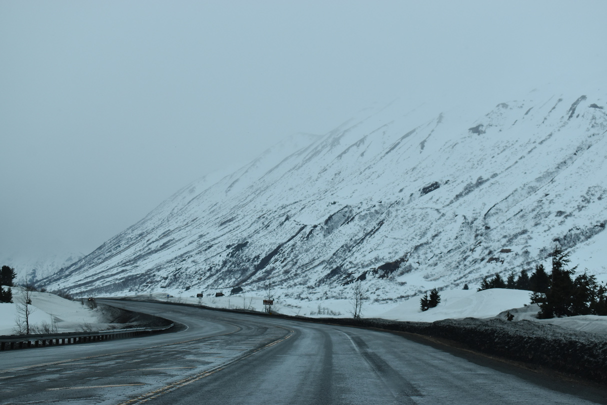
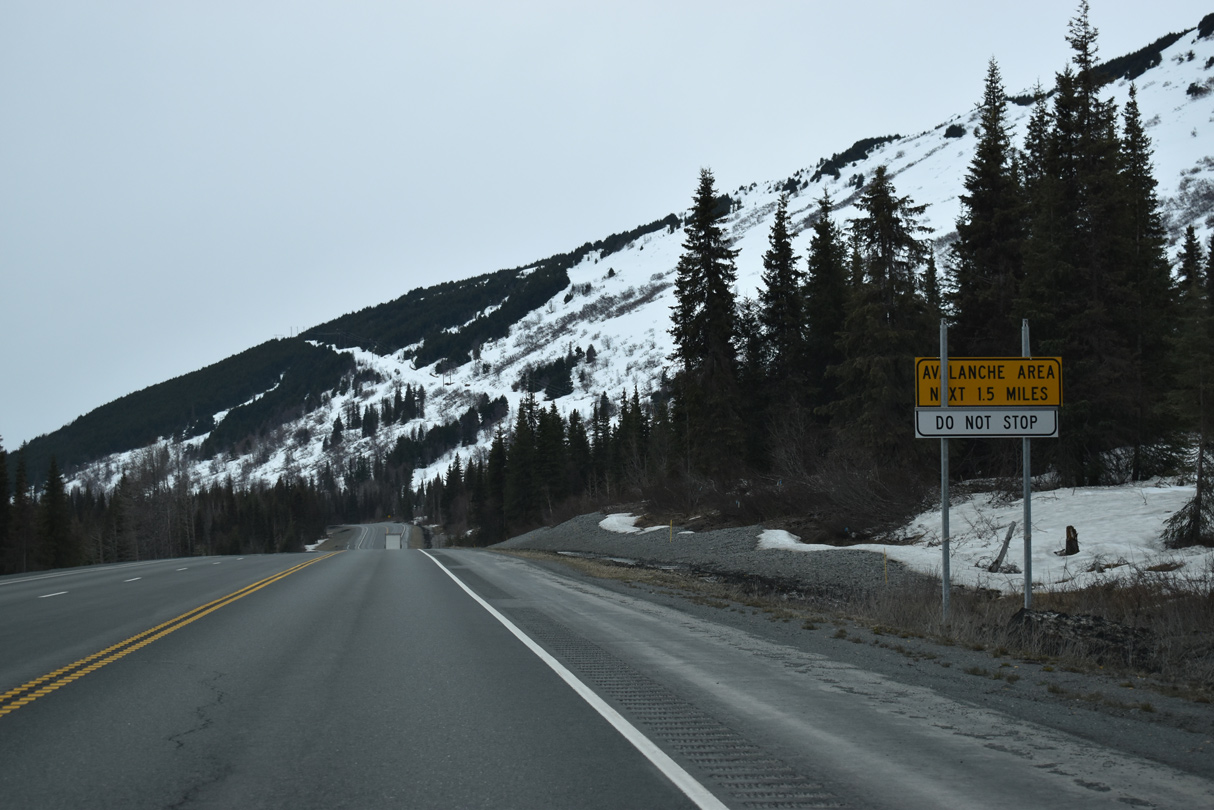
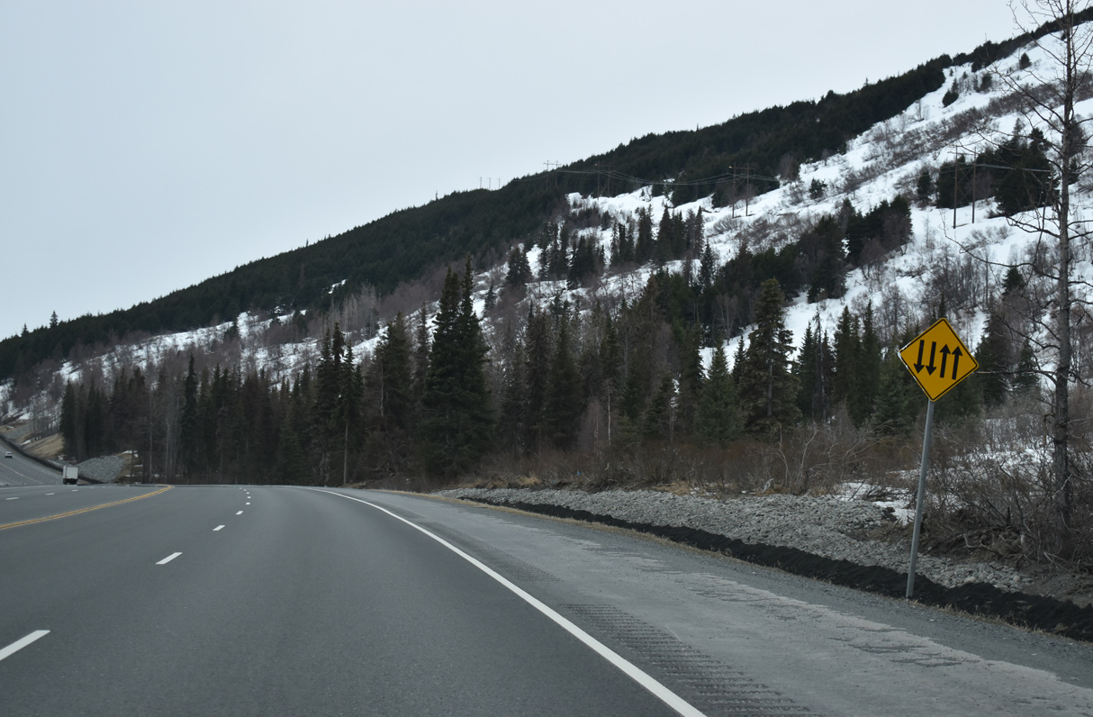
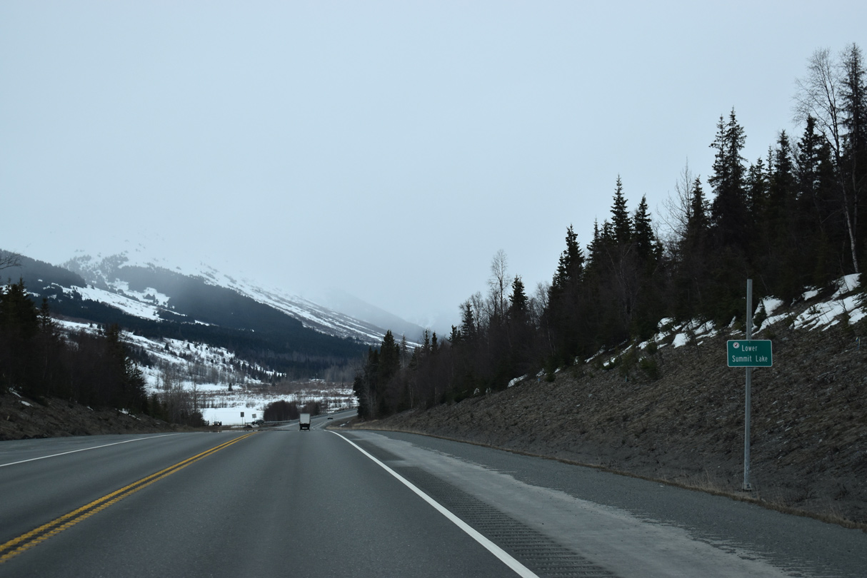
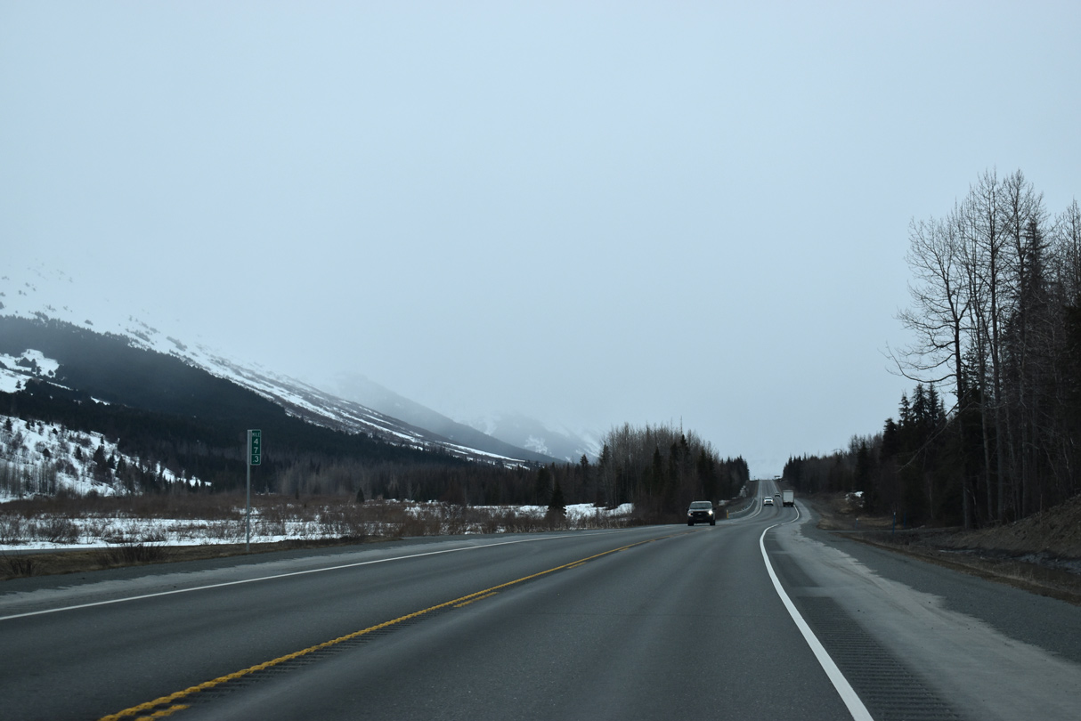
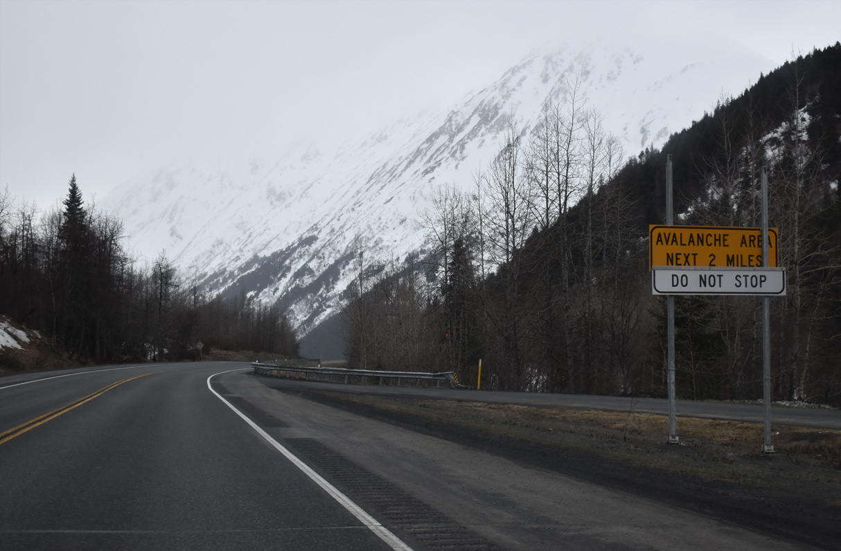
SR 1 (Seward Highway) along Summit Lake falls within an avalanche area.
05/09/23
05/09/23
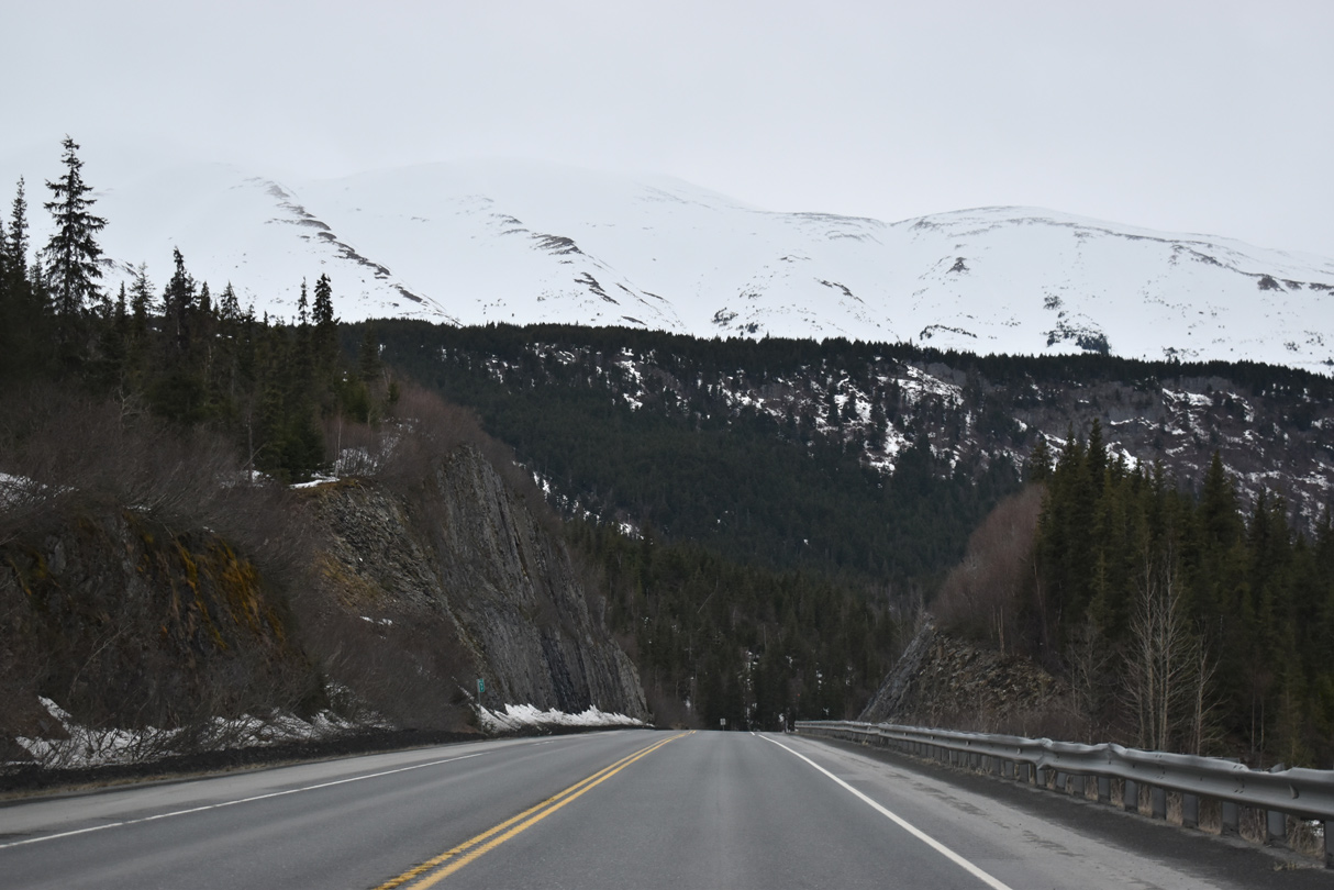
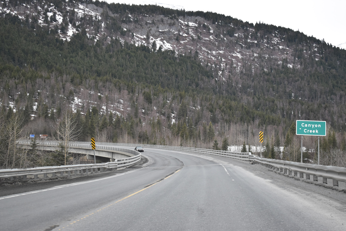
Summit Lake feeds Canyon Creek northward.
05/09/23
05/09/23
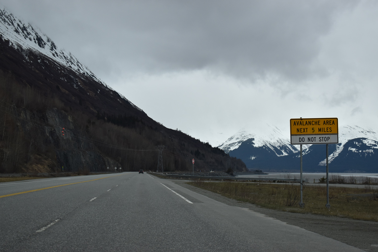
Barricades for avalanche closures on SR 1 (Seward Highway) near mile marker 40.
05/09/23
05/09/23
05/09/23
05/09/23
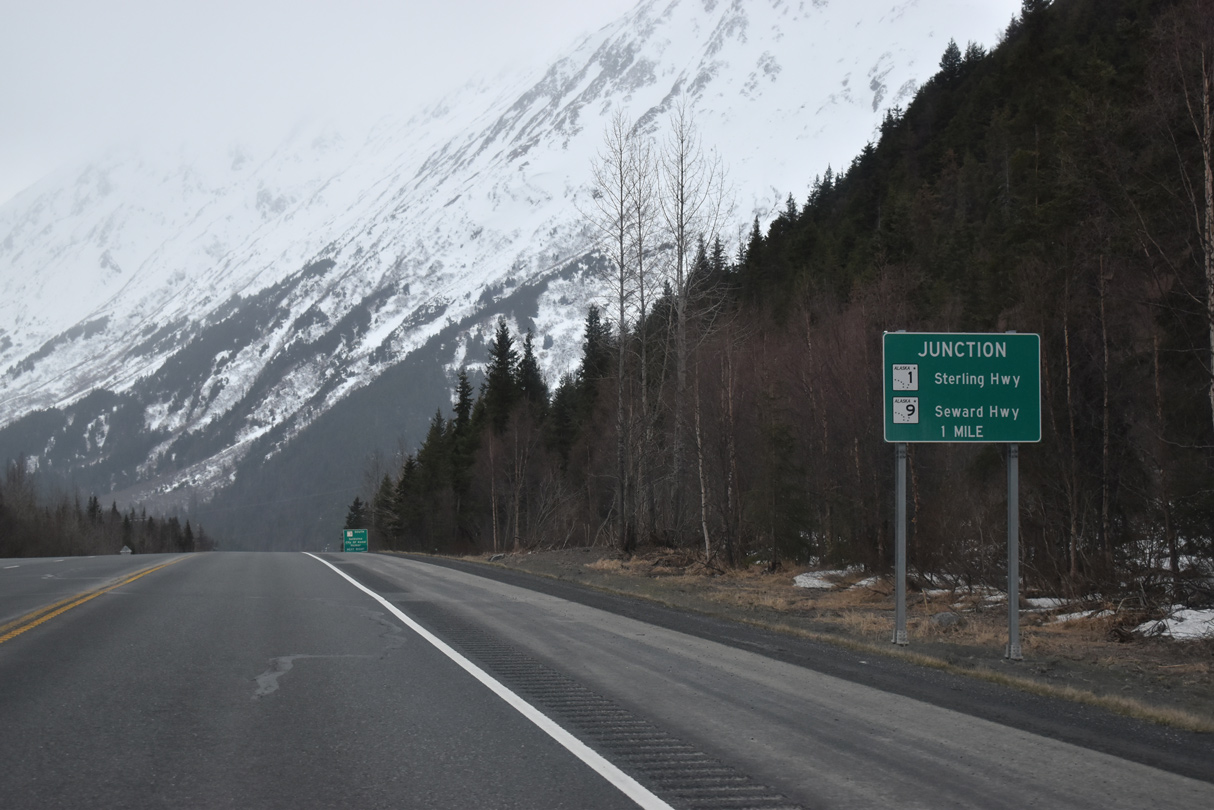
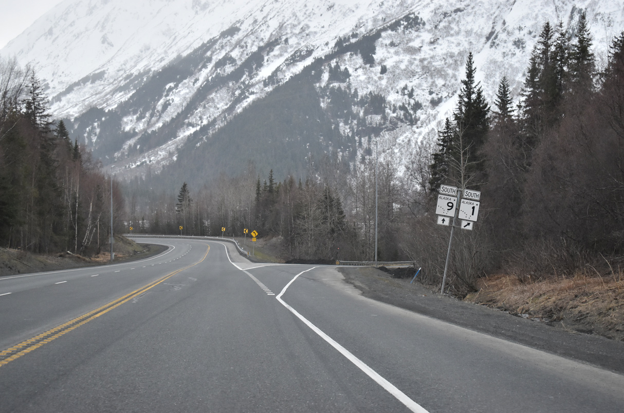
SR 1 (Seward Highway) lowers from Jerome Lake to a wye intersection with SR 9 south and Sterling Highway west.
05/09/23
05/09/23
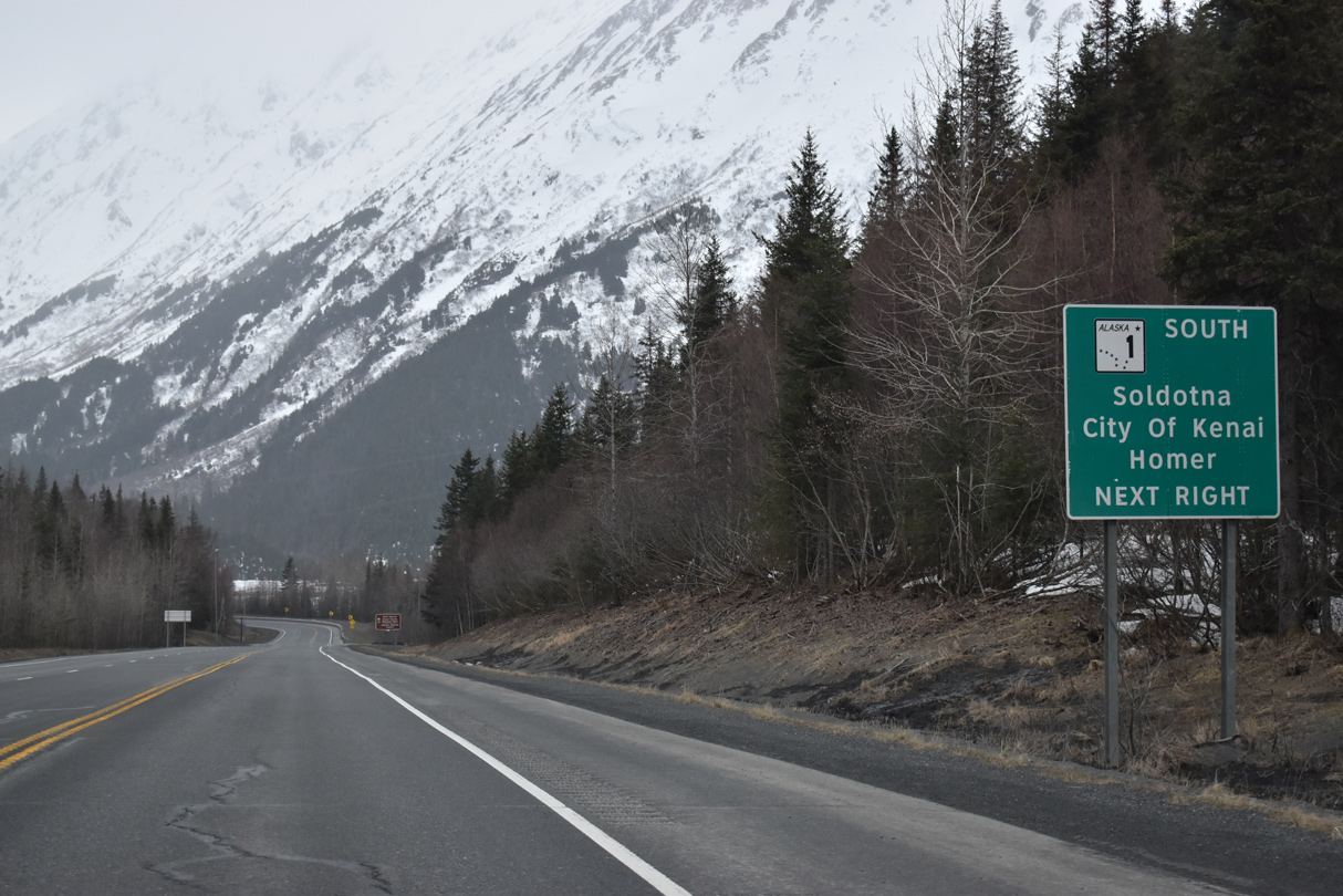
The continuation of SR 1 south lines Sterling Highway west to Sterling and Soldtona and south to Homer. Mile posts along Sterling Highway increase from Seward Highway mile marker 38.
05/09/23
05/09/23
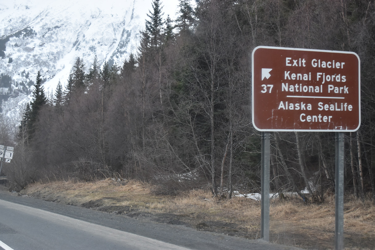
Exit Glacier and Kenai Fjords National Park lies west of Seward.
05/09/23
05/09/23
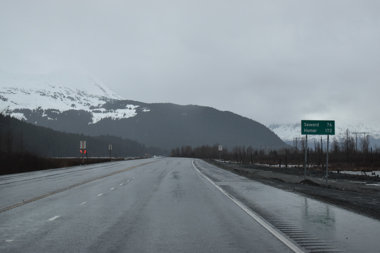
Seward Highway extends 36.46 miles south along SR 9 to Seward along Resurrection Bay.
05/09/23
05/09/23
References:
- "Scenic but crash-prone stretch of Seward Highway inches toward upgrades." Anchorage Daily News (AK), January 19, 2017.
Photo Credits:
- Alex Nitzman: 05/09/23, 05/10/23, 05/13/23
Connect with:
Page Updated Wednesday June 07, 2023.