
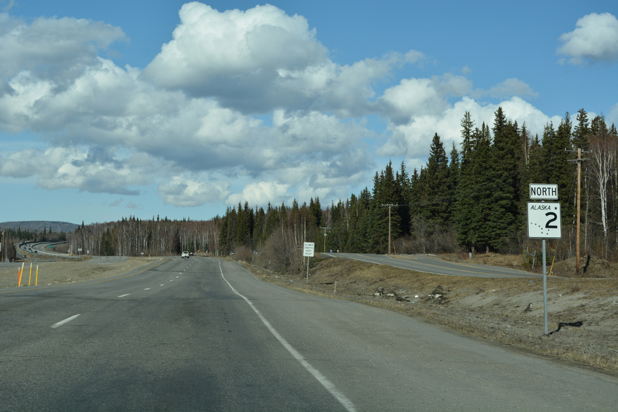
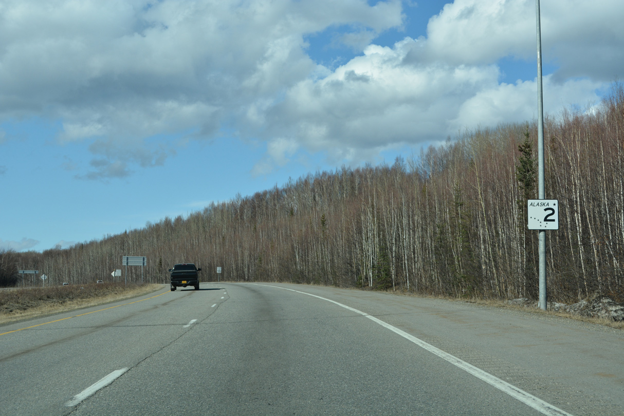
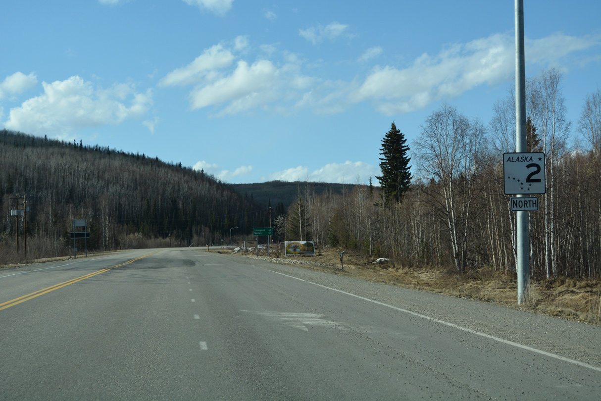
State Route 2 North - Fairbanks to Fox
 North
North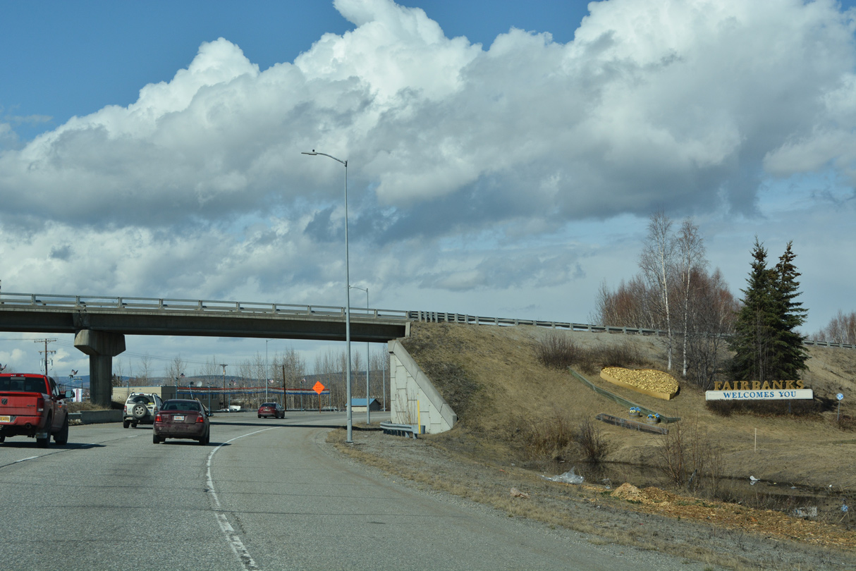
The Fairbanks welcome sign appears along SR 2 (Richardson Highway) north by the entrance ramp from Cushman Street.
05/08/23
05/08/23
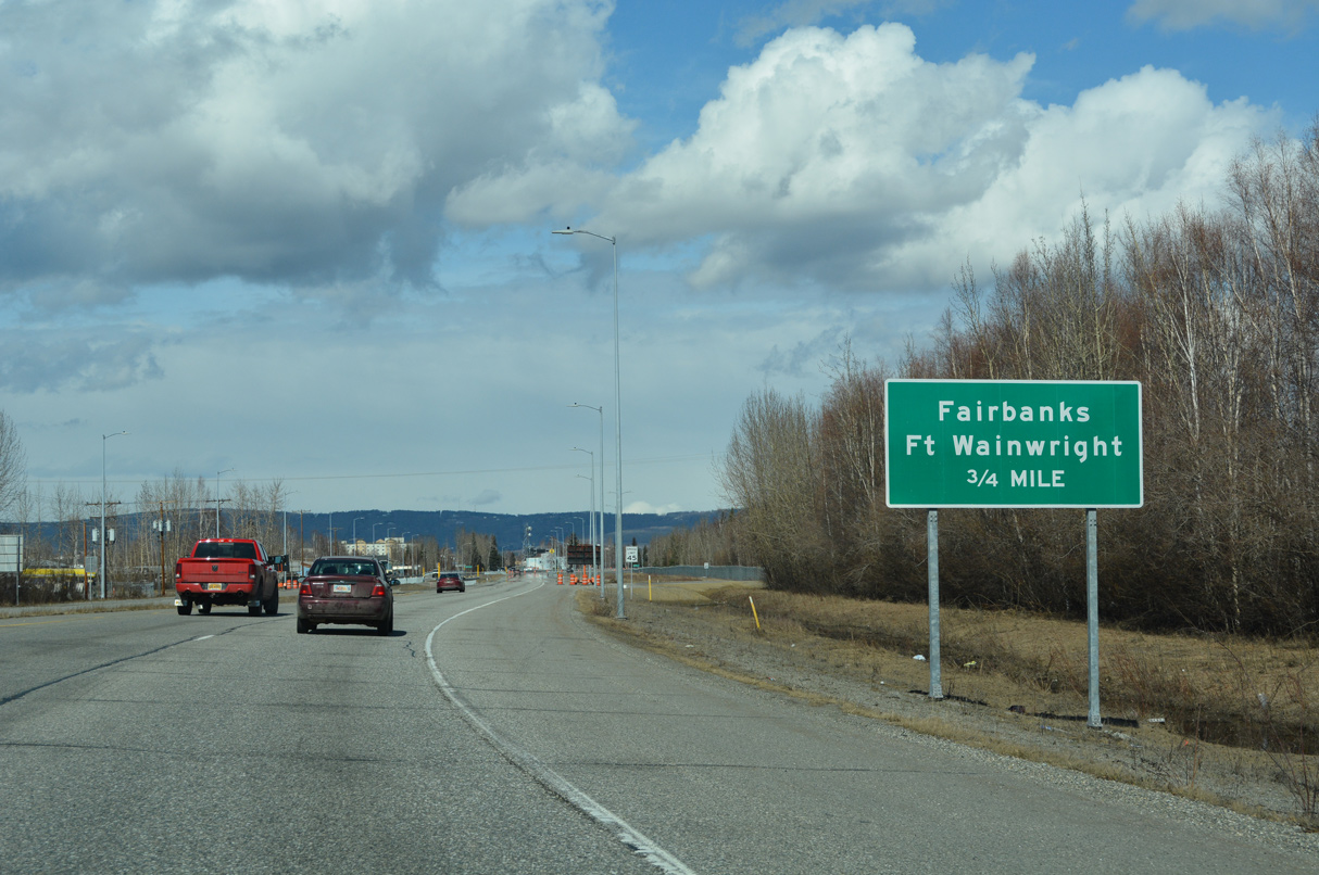
Richardson Highway concludes at the forthcoming intersection with Airport Way (old SR 3) west and Gaffney Road east into Fort Wainwright.
05/08/23
05/08/23
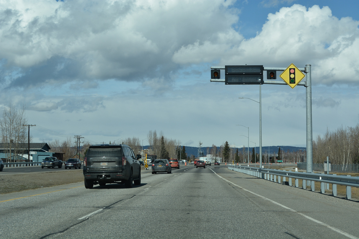
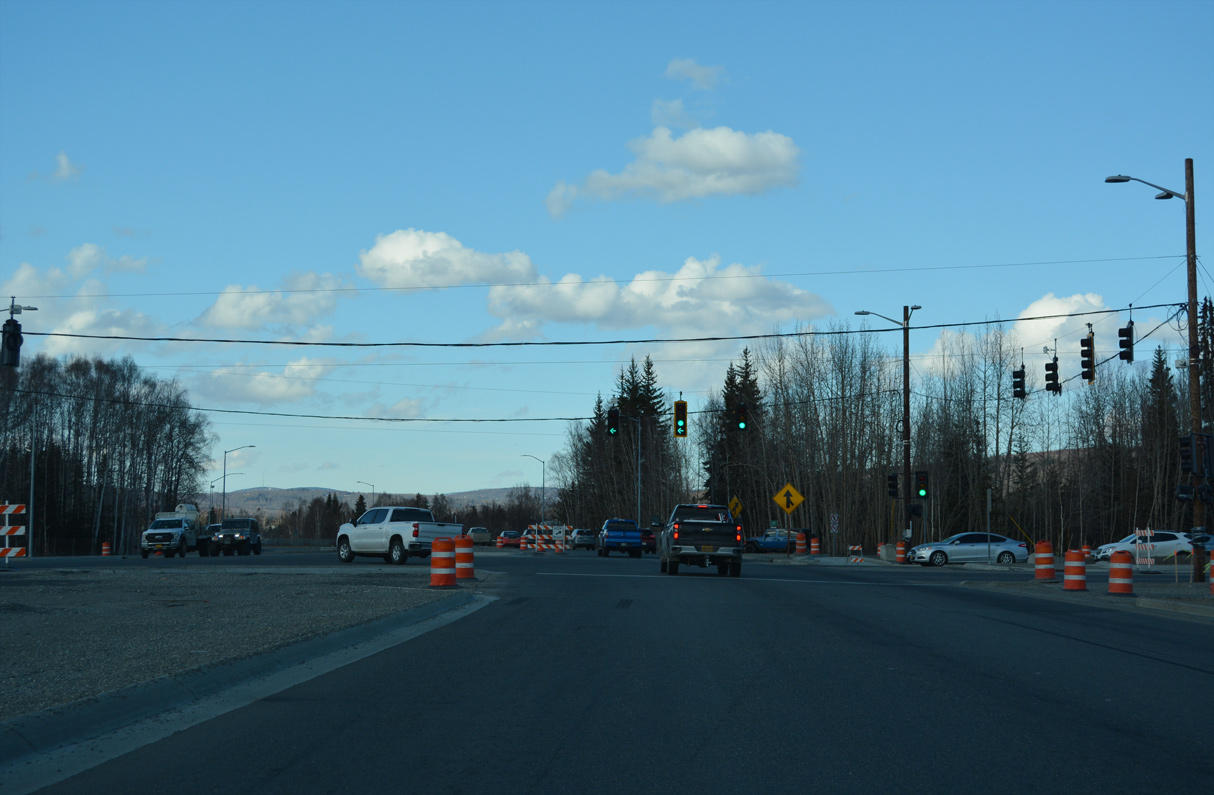
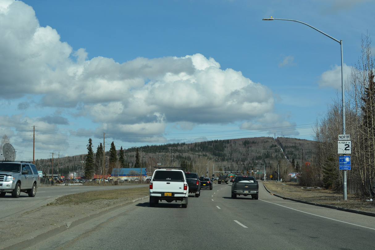
SR 2 transitions into Steese Highway, an at-grade arterial, north from the traffic light with Airport Way.
05/08/23
05/08/23
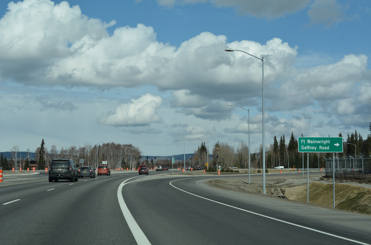
Gaffney Road extends Airport Way east to the main gate into Fort Wainwright.
05/08/23
05/08/23
The Airport Way/Steese Expressway Reconstruction Project reconfigures the junction along SR 2 at Gaffney Road into a Continuous Flow Intersection Median U-Turn (CFI-MUT).1 Work commenced in June 2022.2
05/08/23
05/08/23
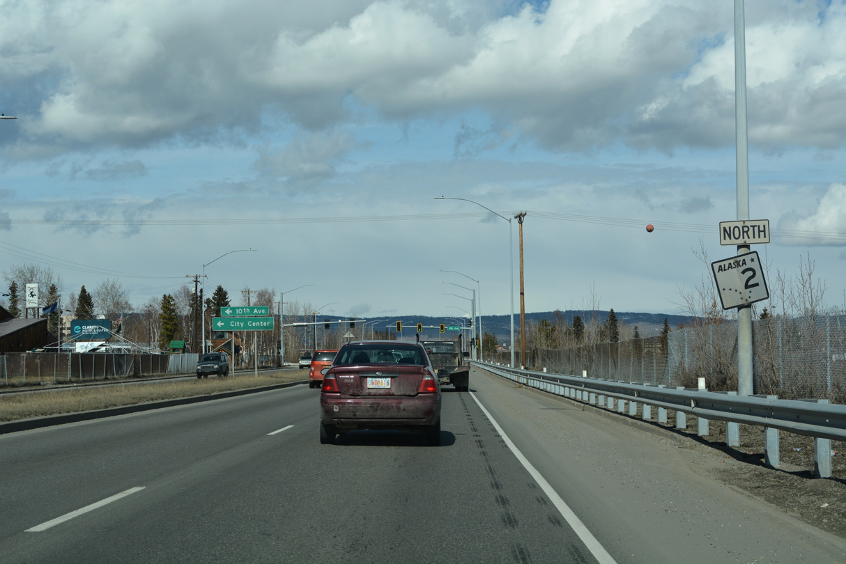
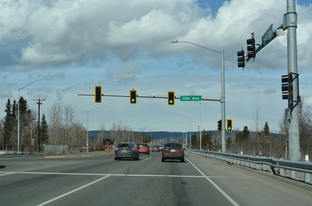
SR 2 (Steese Highway) runs north along the Chena River on the ensuing stretch.
05/08/23
05/08/23
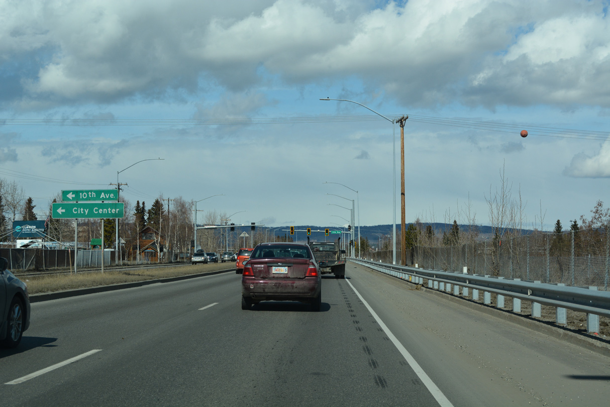
10th Avenue west to Cushman Street (old SR 2) leads to the Fairbanks city center.
05/08/23
05/08/23
05/08/23
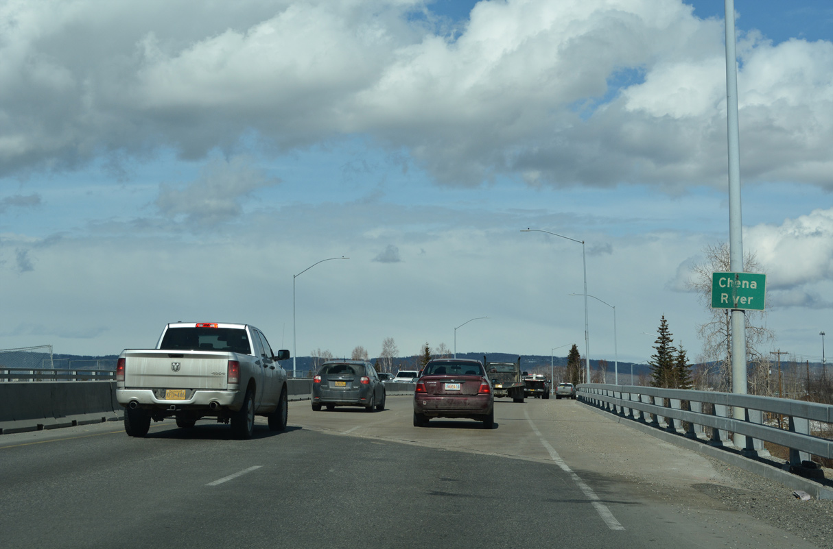
SR 2 curves northeast across the Chena River at Graehl Park.
05/08/23
05/08/23
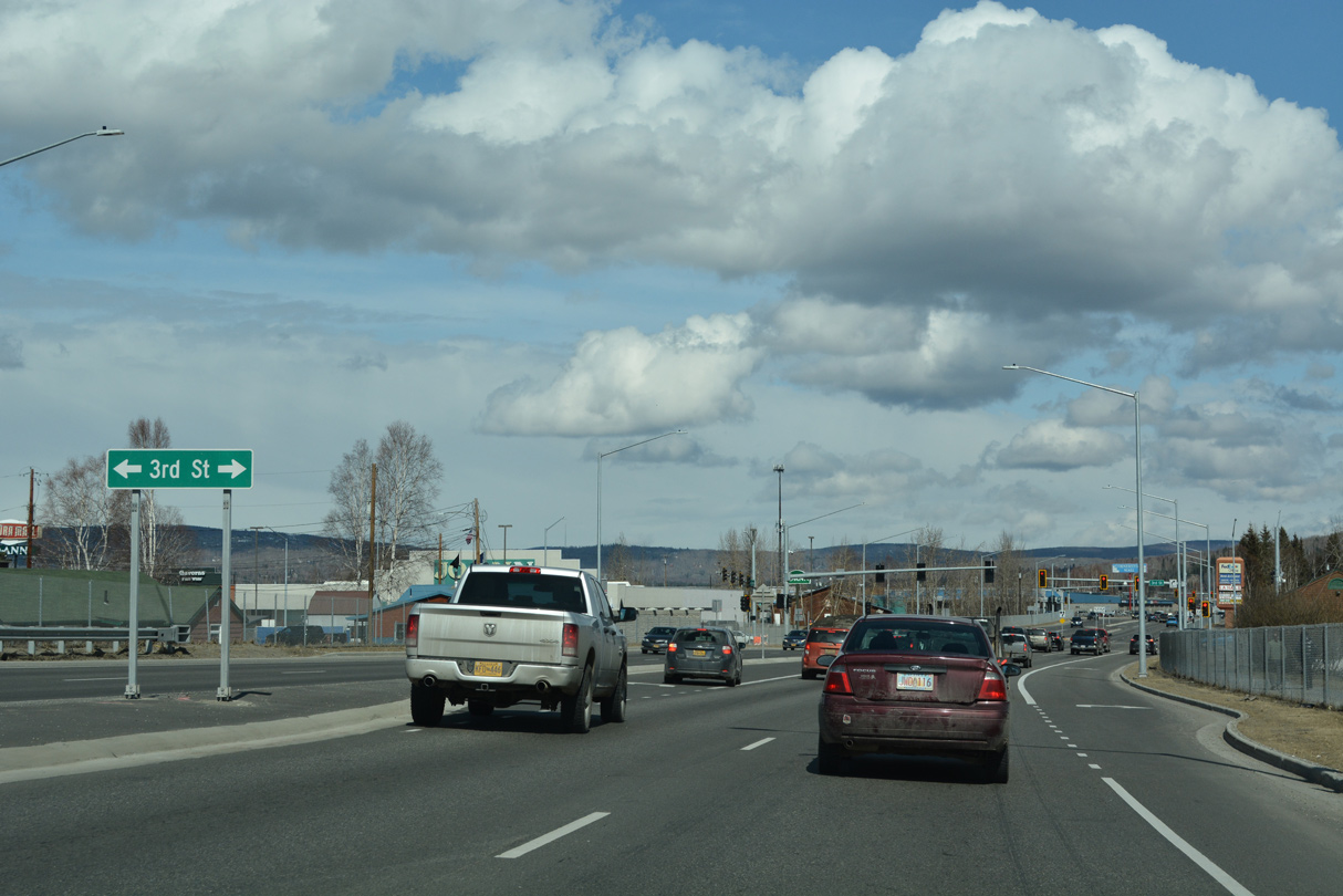
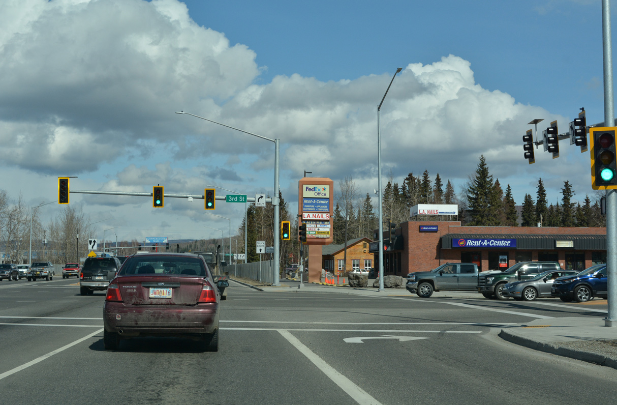
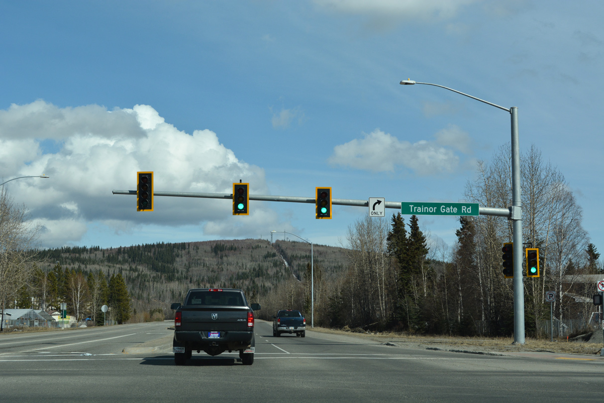
The succeeding traffic light on Steese Highway northbound is at 3rd Street.
05/08/23
05/08/23
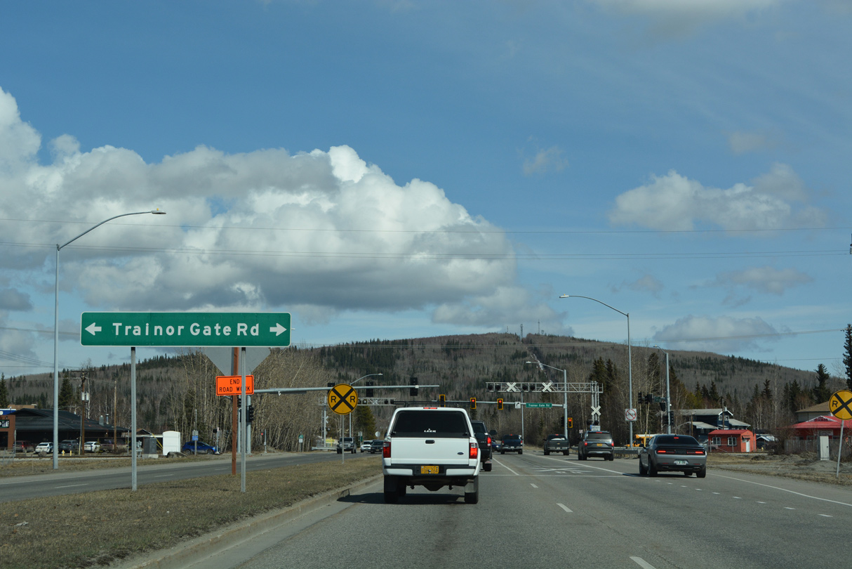
3rd Street west serves a retail area at Old Steese Highway and Minnie Street. East from SR 2, 3rd Street becomes Farewell Avenue through a residential area.
05/08/23
05/08/23

College Road is an arterial route running 4.08 miles north to the Tanana Valley State Fair and west to the University of Alaska Fairbanks.
05/08/23
05/08/23
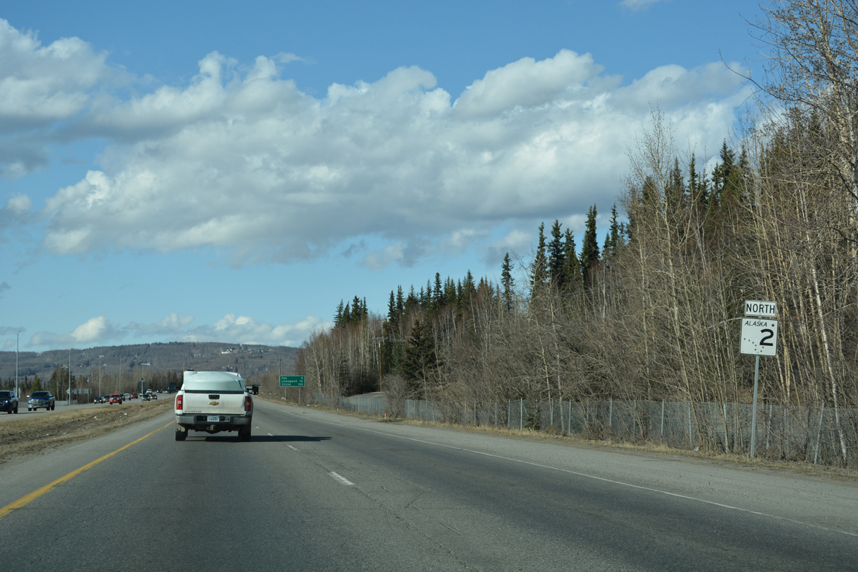
SR 2 continues north as a controlled access arterial paralleling the commercial corridor along Old Steese Highway (old SR 2).
05/08/23
05/08/23
05/08/23
05/08/23
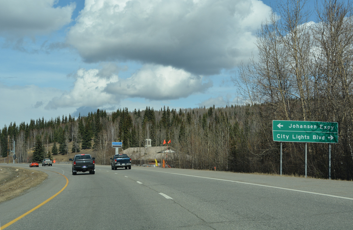
Construction anticipated for 2025/26 constructs a diverging diamond interchange (DDI) in place of the signalized intersection joining SR 2 (Steese Highway) and Johansen Expressway.3
05/08/23
05/08/23
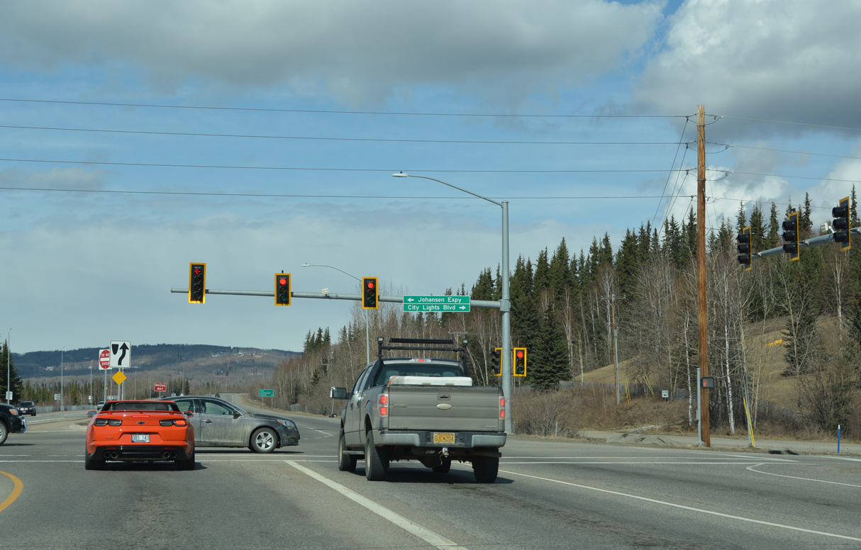
Johansen Expressway is a controlled access arterial or freeway west 4.19 miles from SR 2 to University Avenue at Geist Road.
05/08/23
05/08/23
05/08/23
05/08/23
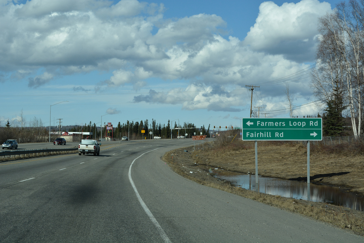
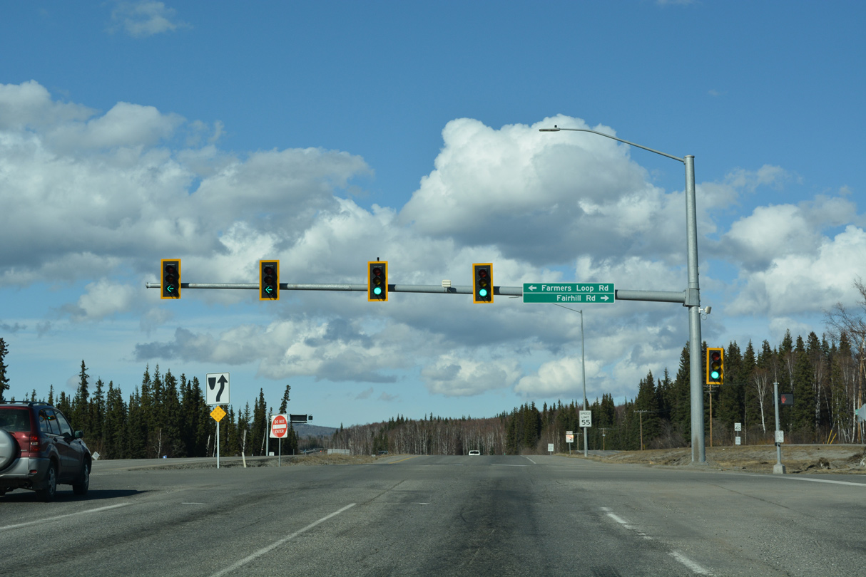
SR 2 (Steese Highway) curves northeast to a signalized intersection with Farmers Loop Road north and Fairhill Road south.
05/08/23
05/08/23
05/08/23
Serving the Farmers Loop community, Farmers Loop circles 8.42 miles west from SR 2 to College Road and Alumni Drive by the University of Alaska Fairbanks.
05/08/23
05/08/23
05/08/23
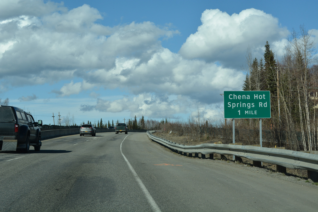
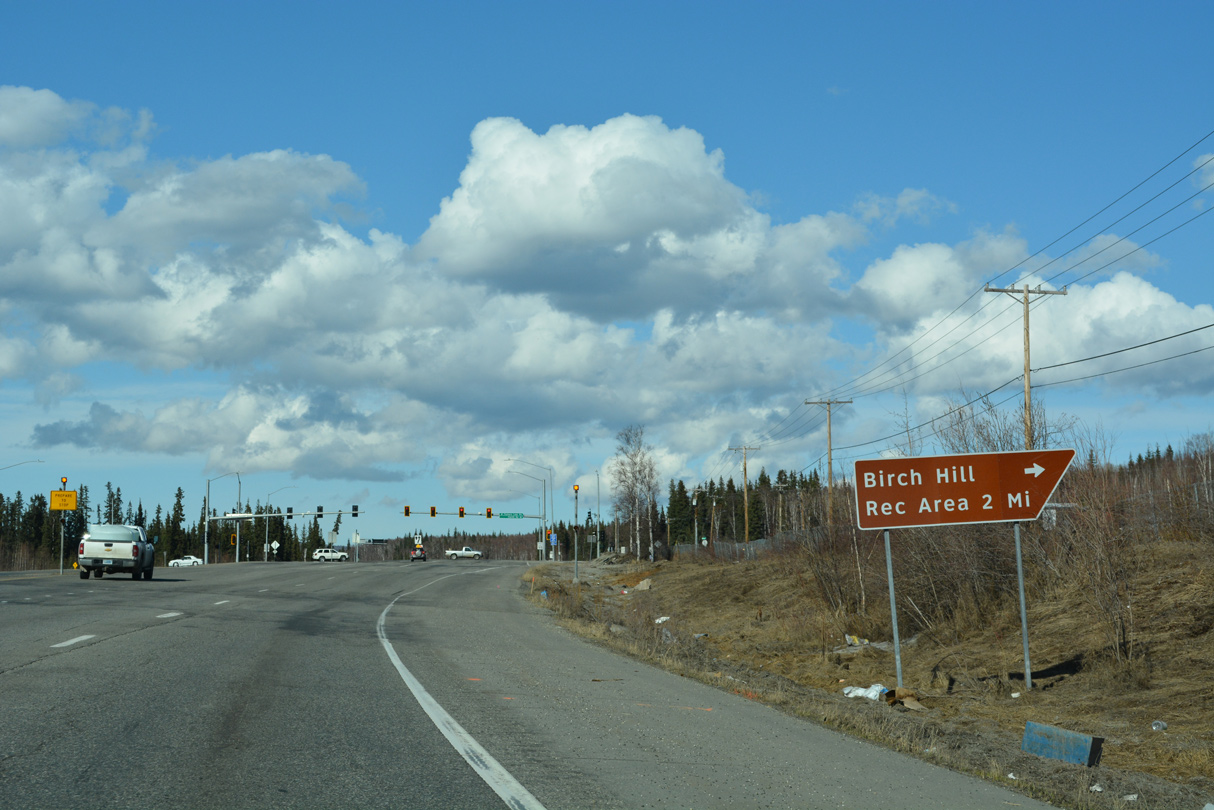
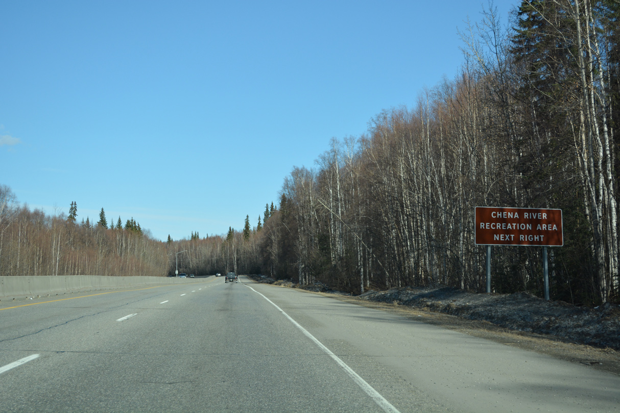
Steese Highway upgrades to a controlled access expressway ahead of a dogbone interchange with Chena Hot Springs Road.
05/08/23
05/08/23
05/08/23
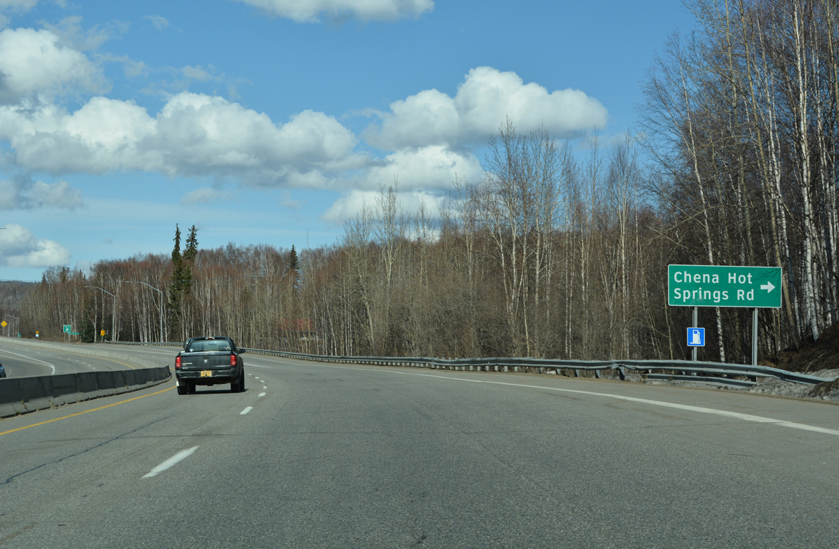
Chena Hot Springs Road travels 56.41 miles east from adjacent Old Steese Highway to Steele Creek, Two Rivers, Pleasant Valley and the Chena Hot Springs Resort.
05/08/23
05/08/23
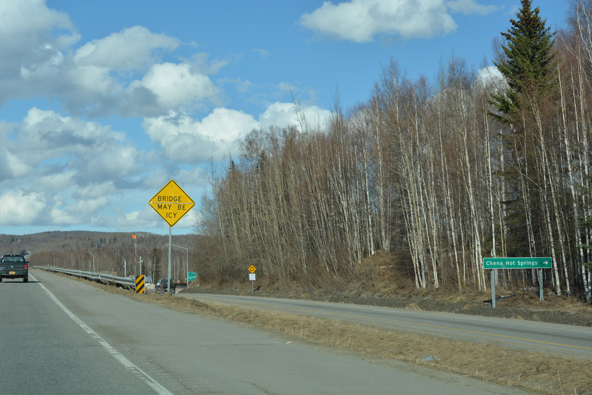
Construction adding roundabouts at the exchange joining Steese Highway and Chena Hot Springs Road was completed in 2020.
05/08/23
05/08/23

05/08/23

05/08/23
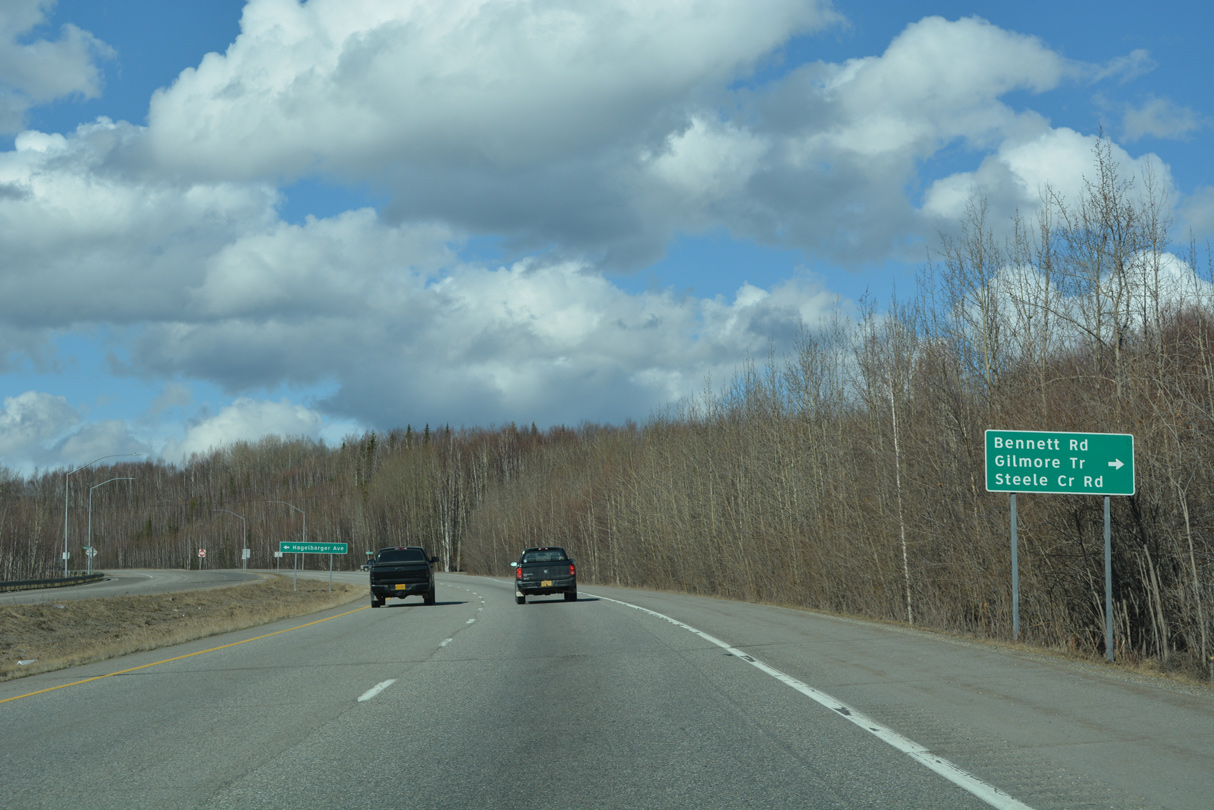
Steele Creek Spur links SR 2 with Gilmore Trail north and Steele Creek Road to Bennett Road east.
05/08/23
05/08/23
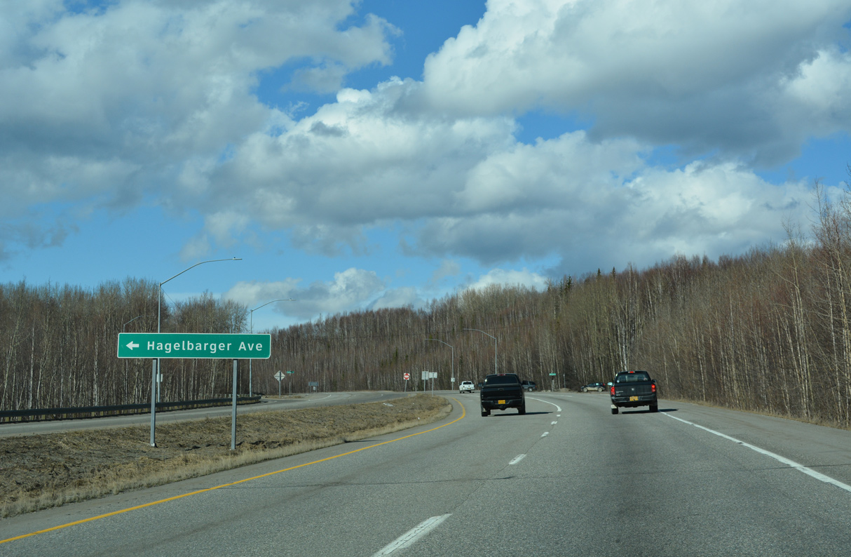
Hagelbarger Avenue extends west from Steele Creek Spur at SR 2 (Steese Highway) 0.99 miles to Old Steese Highway by McGrath Road.
05/08/23
05/08/23
05/08/23
05/08/23
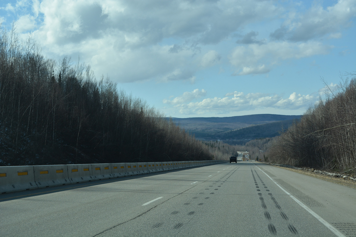
Turning northwest, SR 2 (Steese Highway) lowers into French Gulch.
05/08/23
05/08/23
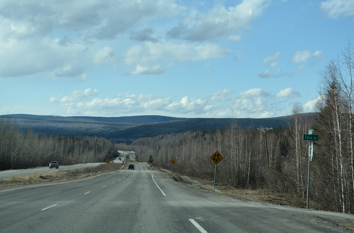
The expressway portion of Steese Highway concludes north of Tera Road.
05/08/23
05/08/23

The Alyeska Pipeline View Point lines the east side of SR 2 (Steese Highway) by parallel Engineer Creek.
05/08/23
05/08/23
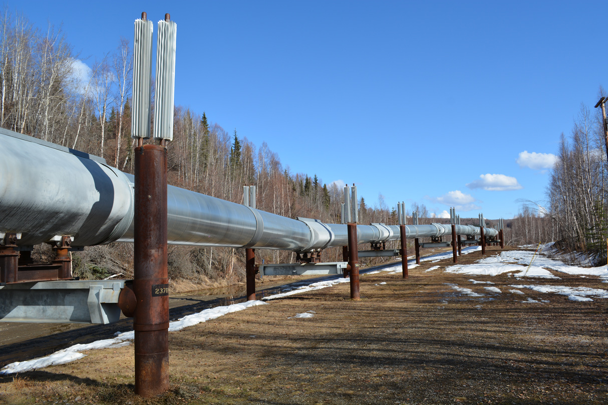
An elevated section of the Alaska Pipeline runs alongside SR 2 north of mile marker 8. The pipeline stretches from Prudhoe Bay to Valdez.
05/08/23
05/08/23
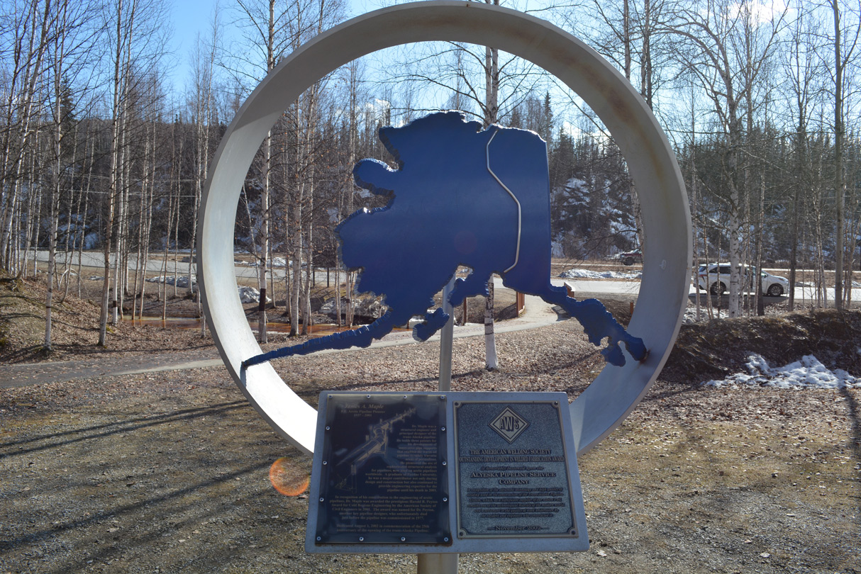
A sign board at the view point indicates that the 800 mile long Alaska Pipeline was constructed from March 27, 1975 to May 31, 1977 at a cost of $8 billion.
05/08/23
05/08/23
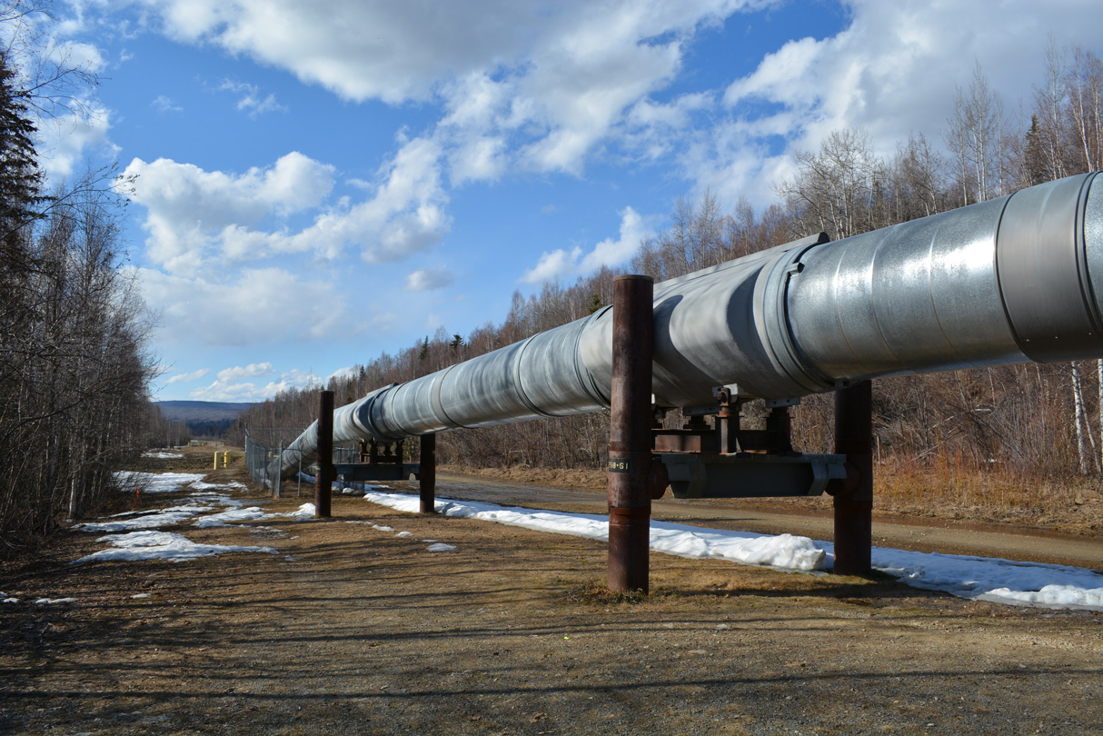
The Alaska Pipeline is 48 inches in diameter. Elevated sections are used in permafrost areas where heat from the oil within the pipeline might thaw frozen ground, leading to instability.
05/08/23
05/08/23
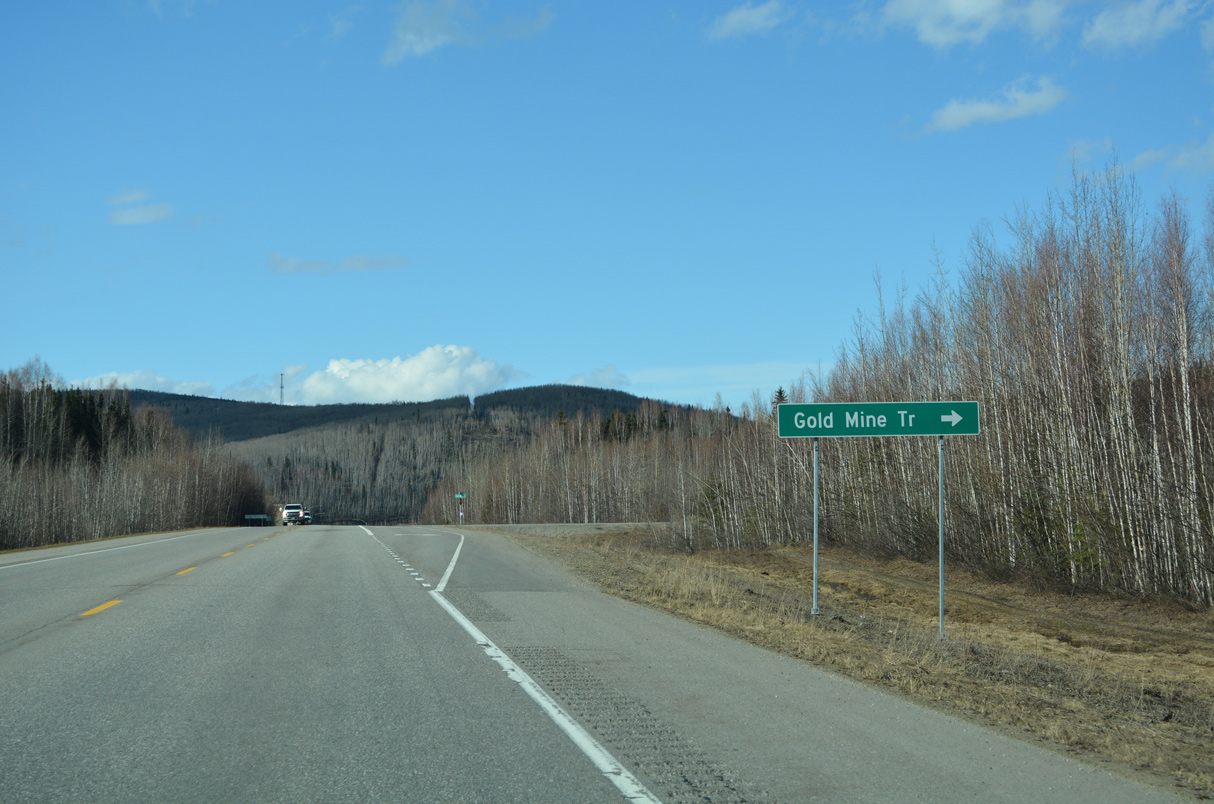
Gold Mine Trail weaves through a residential area east 3.98 miles to Gimore Trail.
05/08/23
05/08/23
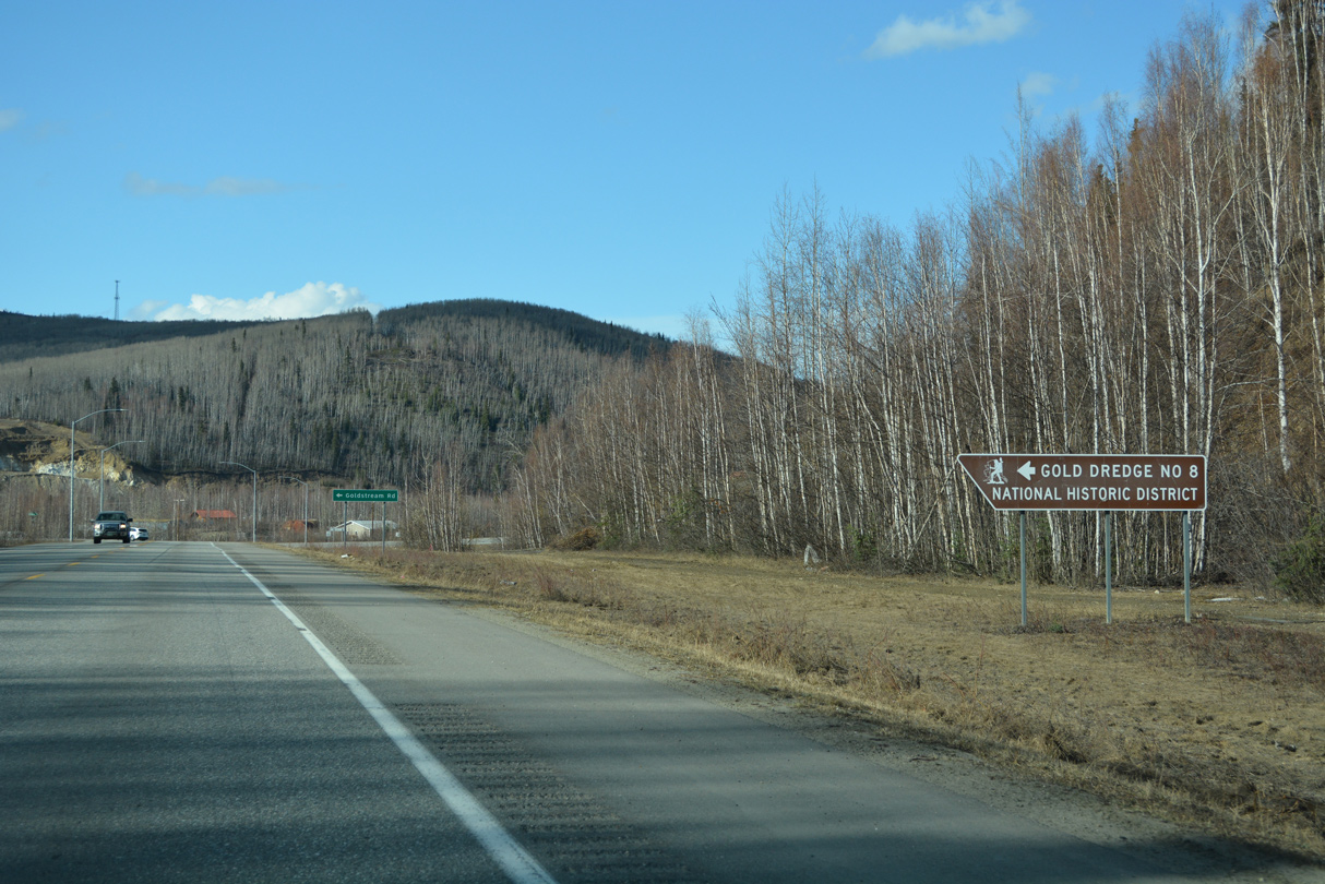
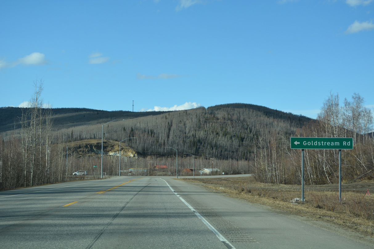
Goldstream Road stems west from SR 2 to Goldstream and the Gold Dredge Number 8 National Historic District.
05/08/23
05/08/23
05/08/23
05/08/23

05/08/23
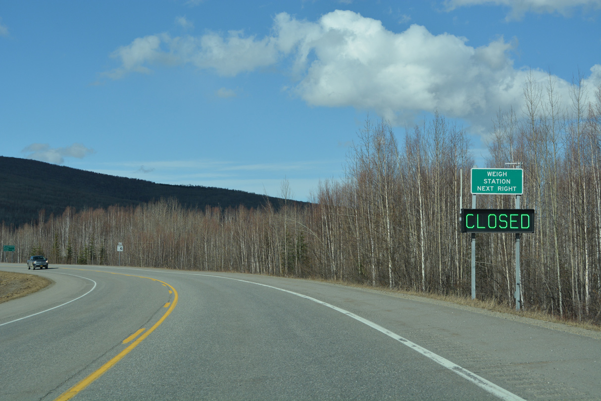
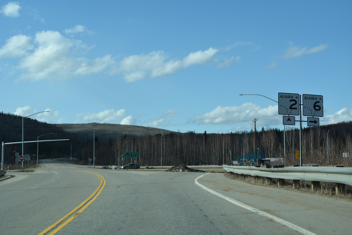
Continuing into the community of Fox, SR 2 (Steese Highway) next meets SR 6 and Old Steese Highway by the Fox Weigh Station.
05/08/23
05/08/23
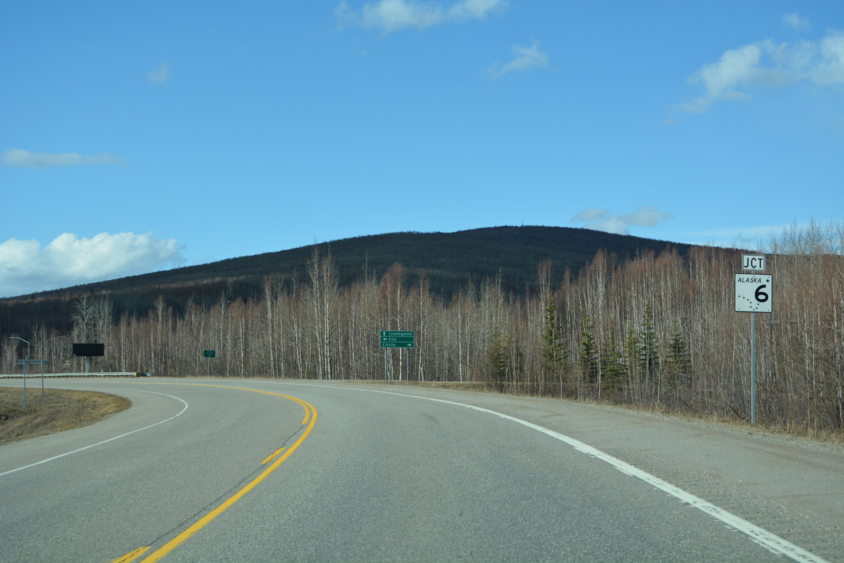
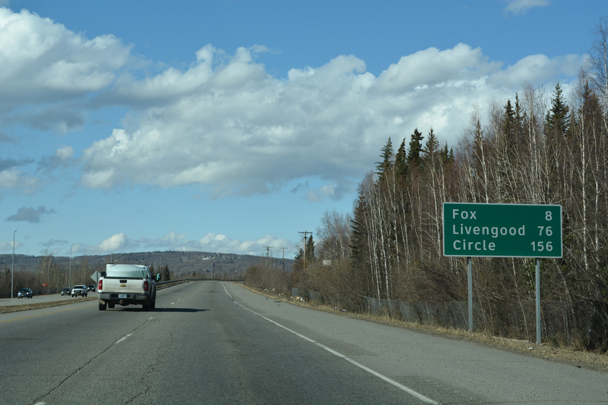
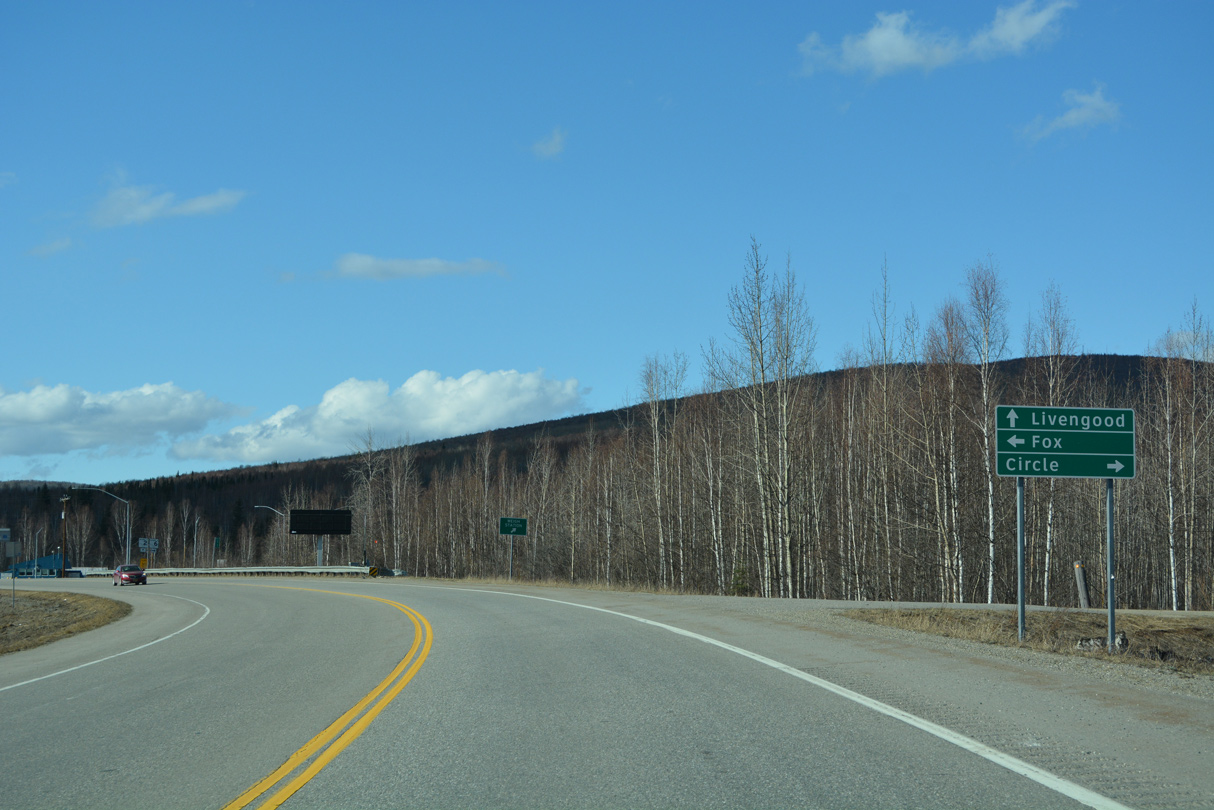
Steese Highway separates with SR 2 to follow SR 6 northeast 144 miles to Circle.
05/08/23
05/08/23
Old Steese Highway north ties into the intersection with the south end of SR 6 at Fox.
05/08/23
05/08/23
State Route 6 (Steese Highway) travels 16 miles northeast from Fox to Chatanika and 111 miles to Central.
05/08/23
05/08/23
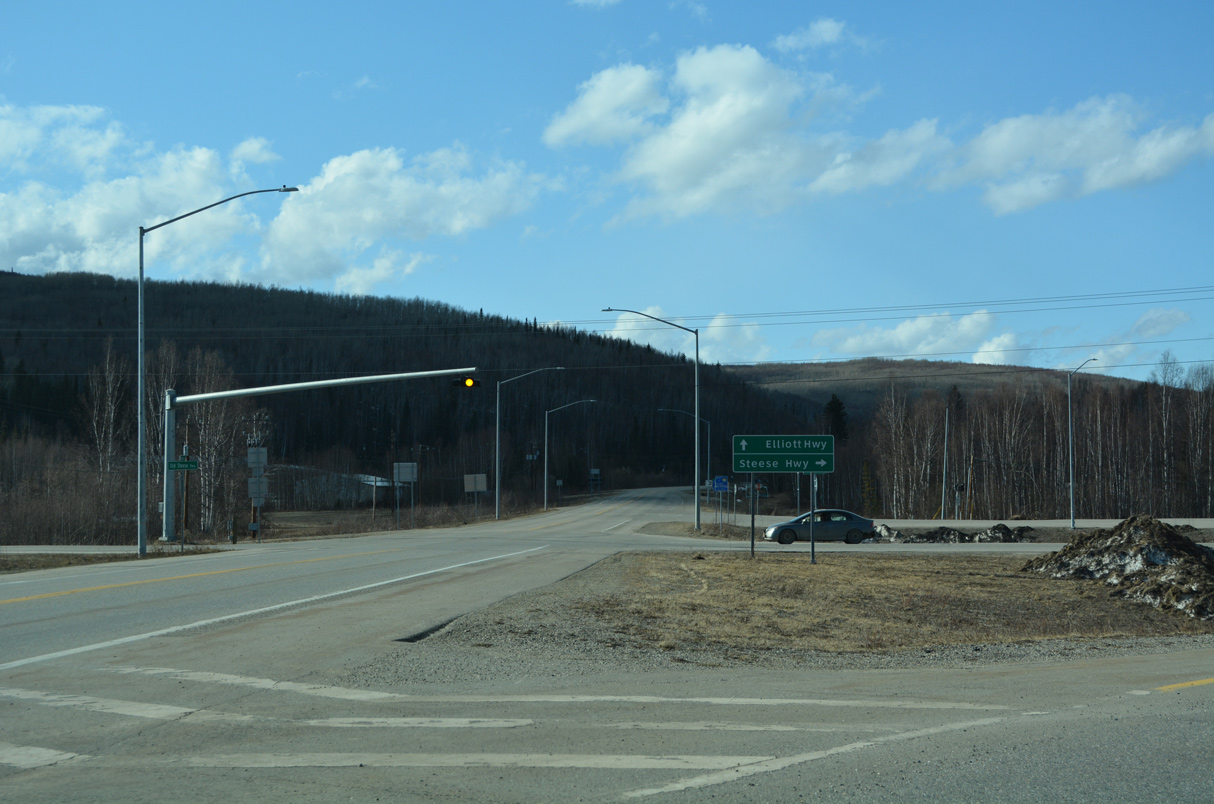
The remainder of SR 2 north and west from Fox follows Elliott Highway.
05/08/23
05/08/23
05/08/23
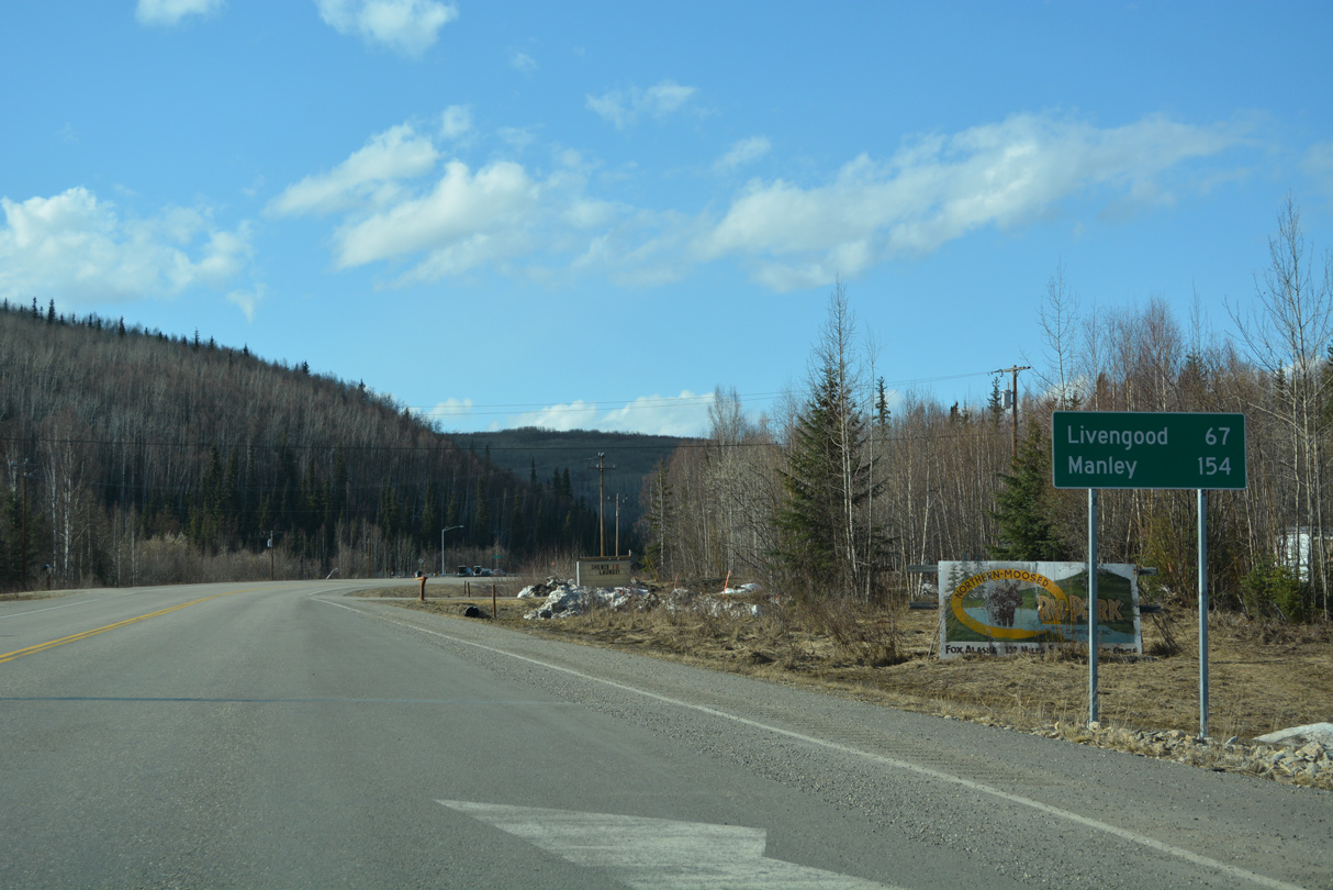
Manley lies at the west end of State Route 2, 145 miles from SR 6 (Steese Highway) at Fox.
05/08/23
05/08/23
References:
- HSIP: Airport Way/Steese Expressway Reconstruction. https://dot.alaska.gov/nreg/ garsreconstruction/ Alaska Department of Transportation and Public Facilities (ADT&PF) project web site.
- "Two Fairbanks road projects end as work begins on big intersection." https://fm.kuac.org/local-news/2022-06-01/ two-fairbanks-road-projects-end-as -work-begins-on-big-intersection KUAC TV-9 (Fairbanks, AK), June 1, 2022.
- Steese Expressway / Johansen Expressway Interchange, Project Fact Sheet. https://dot.alaska.gov/nreg/ steese-johansen/files/sj-fact-sheet.pdf Alaska Department of Transportation and Public Facilities (ADT&PF) project web site.
Photo Credits:
- Alex Nitzman: 05/08/23
Connect with:
Page Updated Wednesday June 14, 2023.