
State Route 2 North - Alcan Border to Tok
 North
North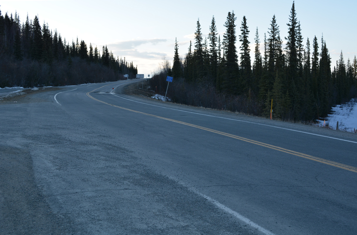
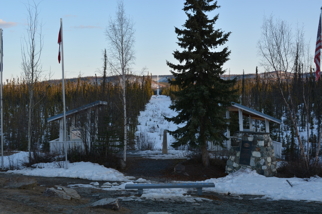
Yukon Highway 1 becomes Alaska State Route 2 at the international boundary.
05/07/23
05/07/23
A small wayside park is located at the Canada/United States border along Alaska Highway.
05/07/23
05/07/23
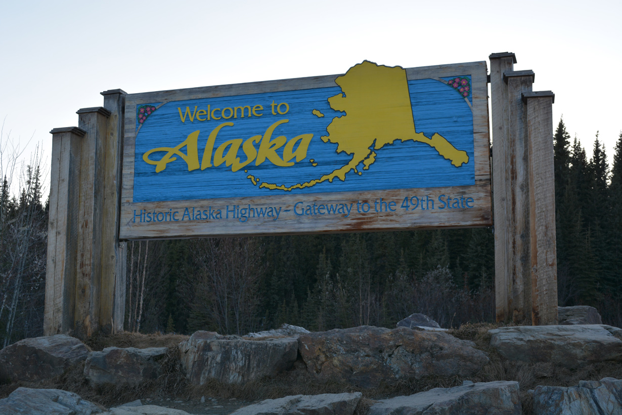
An Alaska welcome sign stands next to a parking area by the international border.
05/07/23
05/07/23
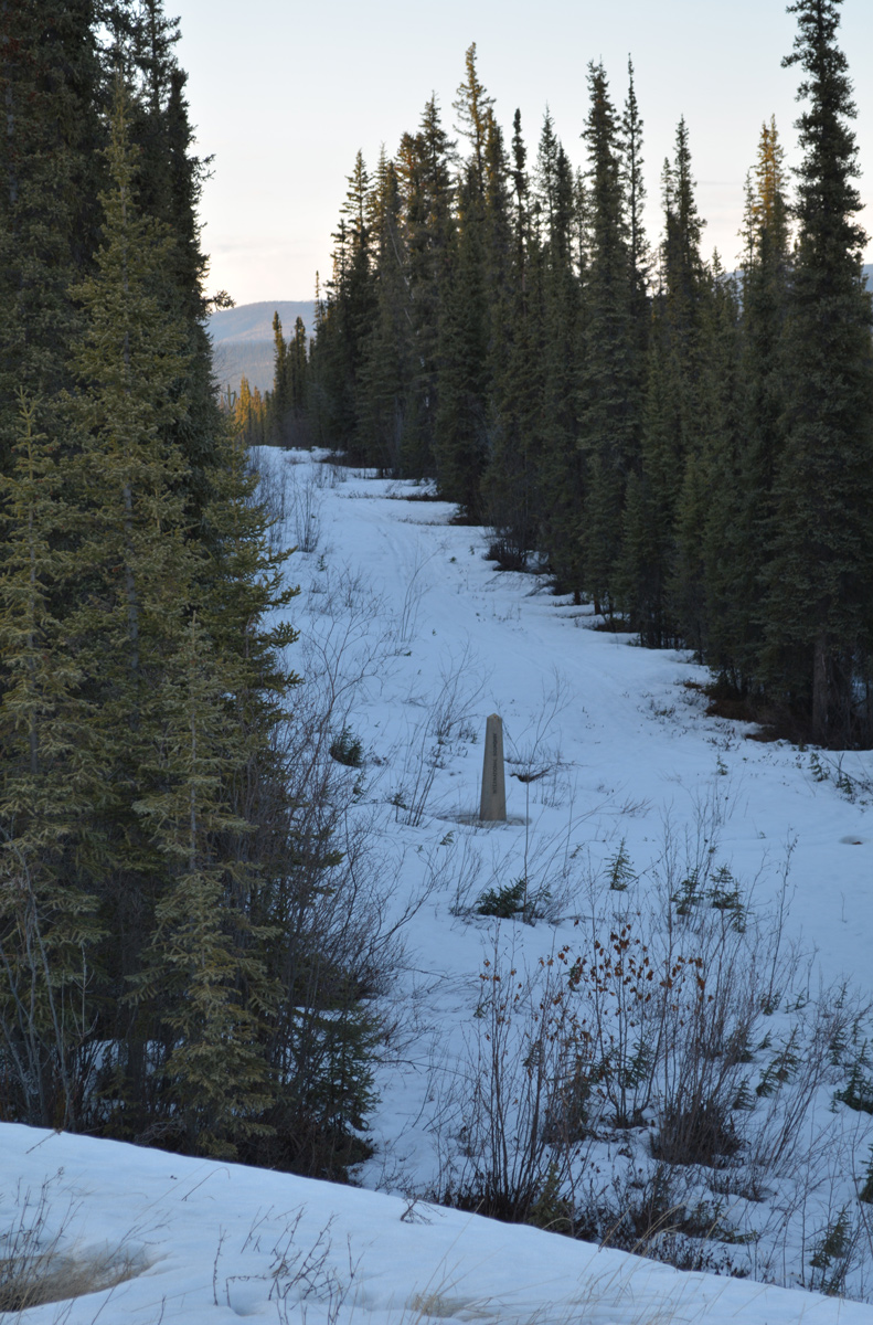
A second international boundary marker appears to the north of Alaska Highway.
05/07/23
05/07/23
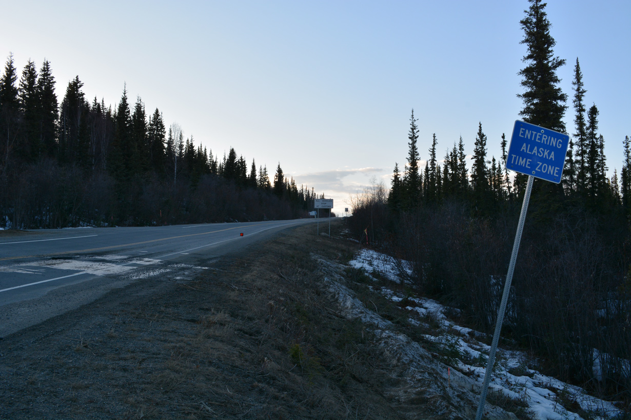
Alaska Highway leaves Pacific Time Zone in Yukon and enters Alaska Time Zone in the Last Frontier.
05/07/23
05/07/23
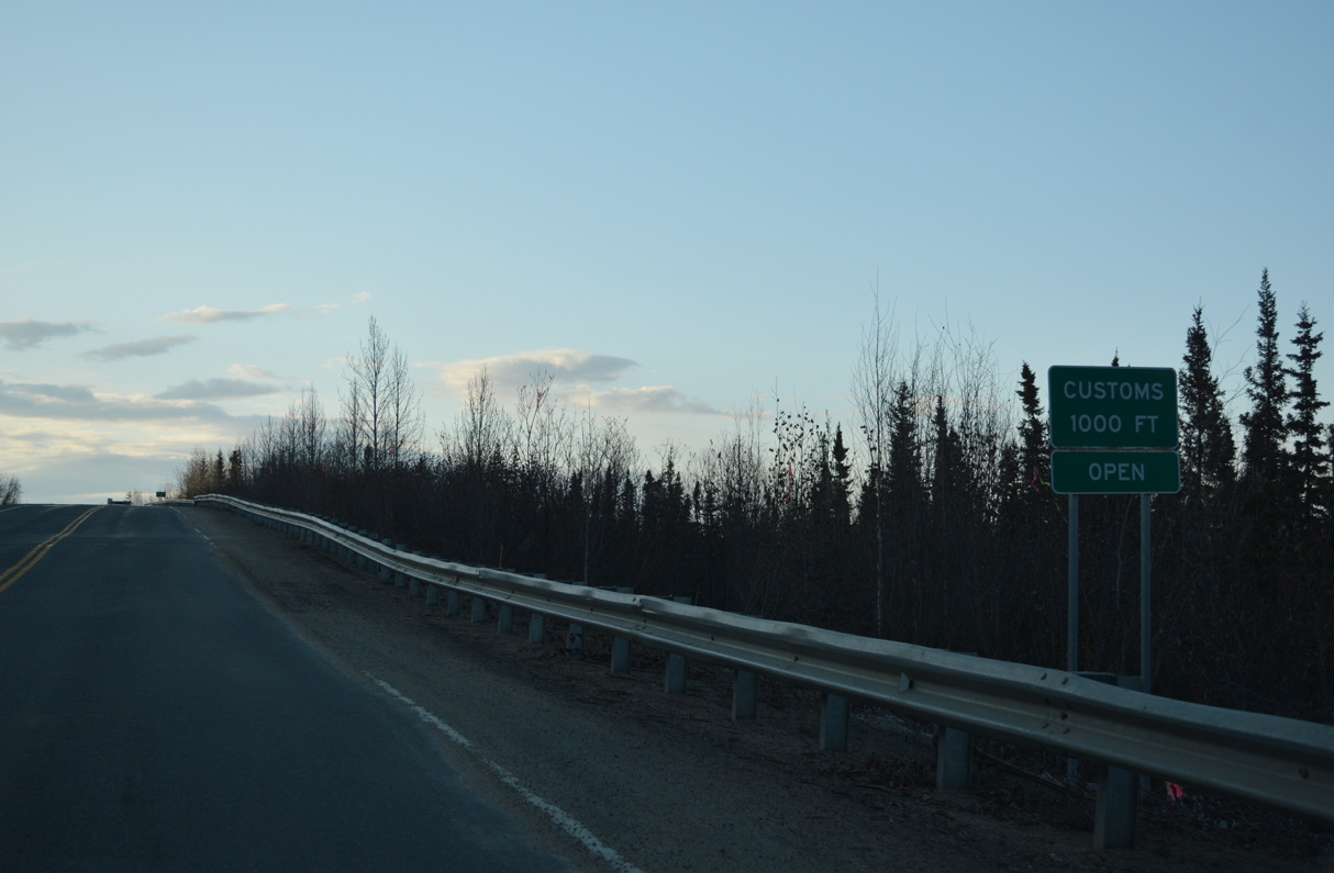
The U.S. Customs Station lies just northwest of the Canadian border along SR 2 (Alaska Highway).
05/07/23
05/07/23

Alaska Highway was previously realigned to eliminate a sharp curve at the U.S. port of entry.
05/07/23
05/07/23
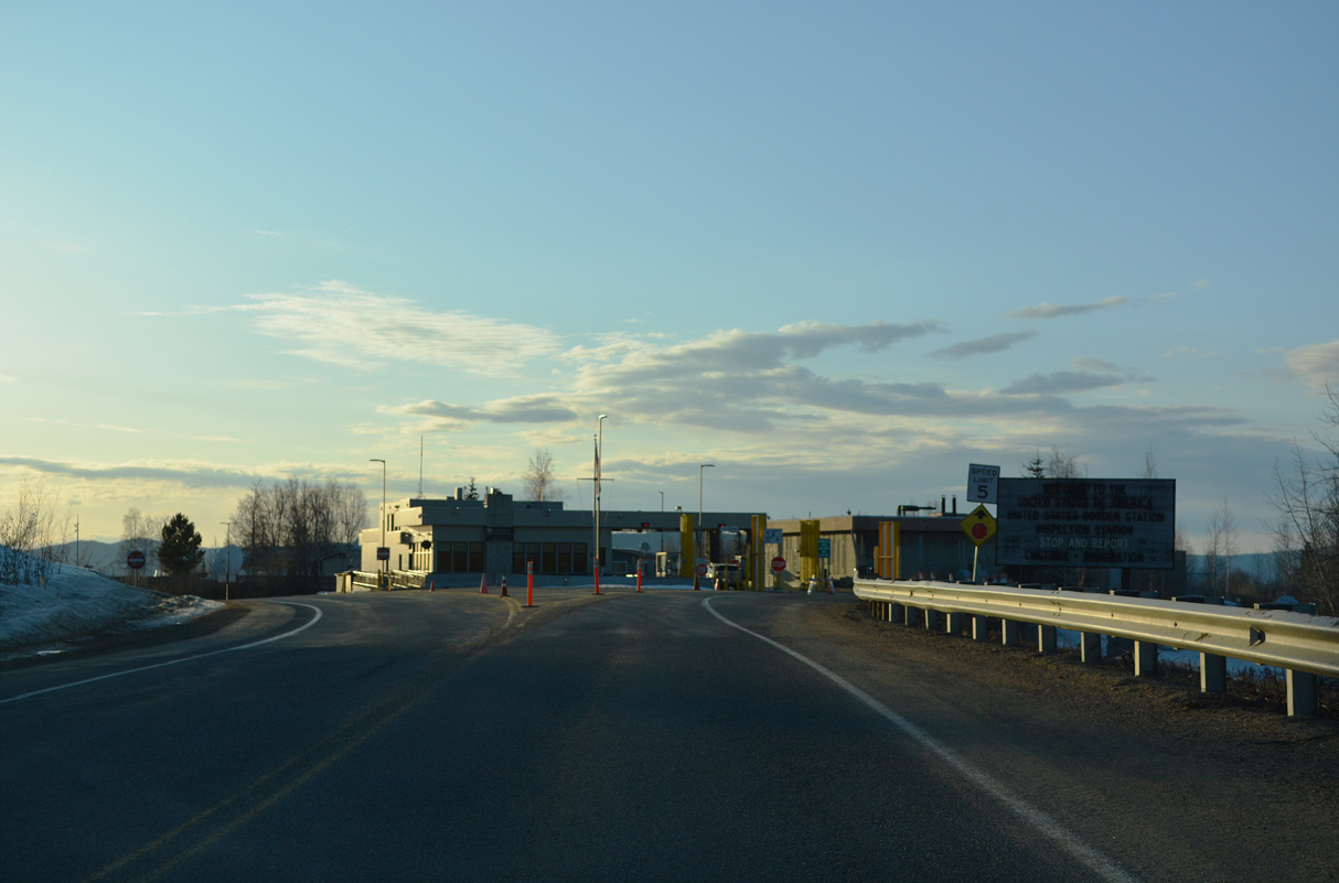
Entering the U.S. Border Inspection Station along SR 2 northbound.
05/07/23
05/07/23
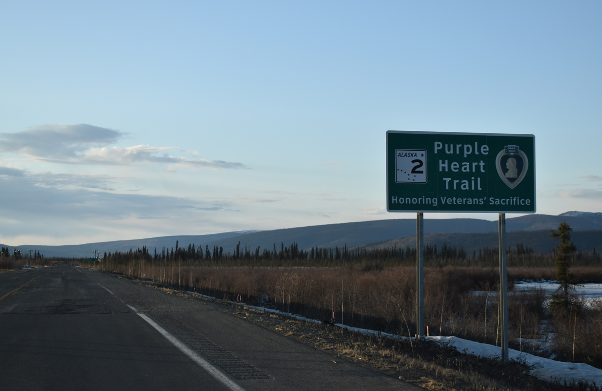
Alaska State Route 2 is part of the Purple Heart Trail honoring U.S. military veterans.
05/07/23
05/07/23
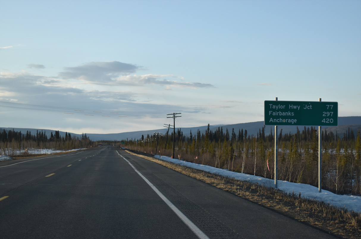
Taylor Highway Junction, where SR 2 (Alaska Highway) meets SR 5, is 75.7 miles to the northwest. Downtown Fairbanks is 290 miles away as opposed to the 297 miles displayed here. Anchorage is 406 versus 420.
05/07/23
05/07/23
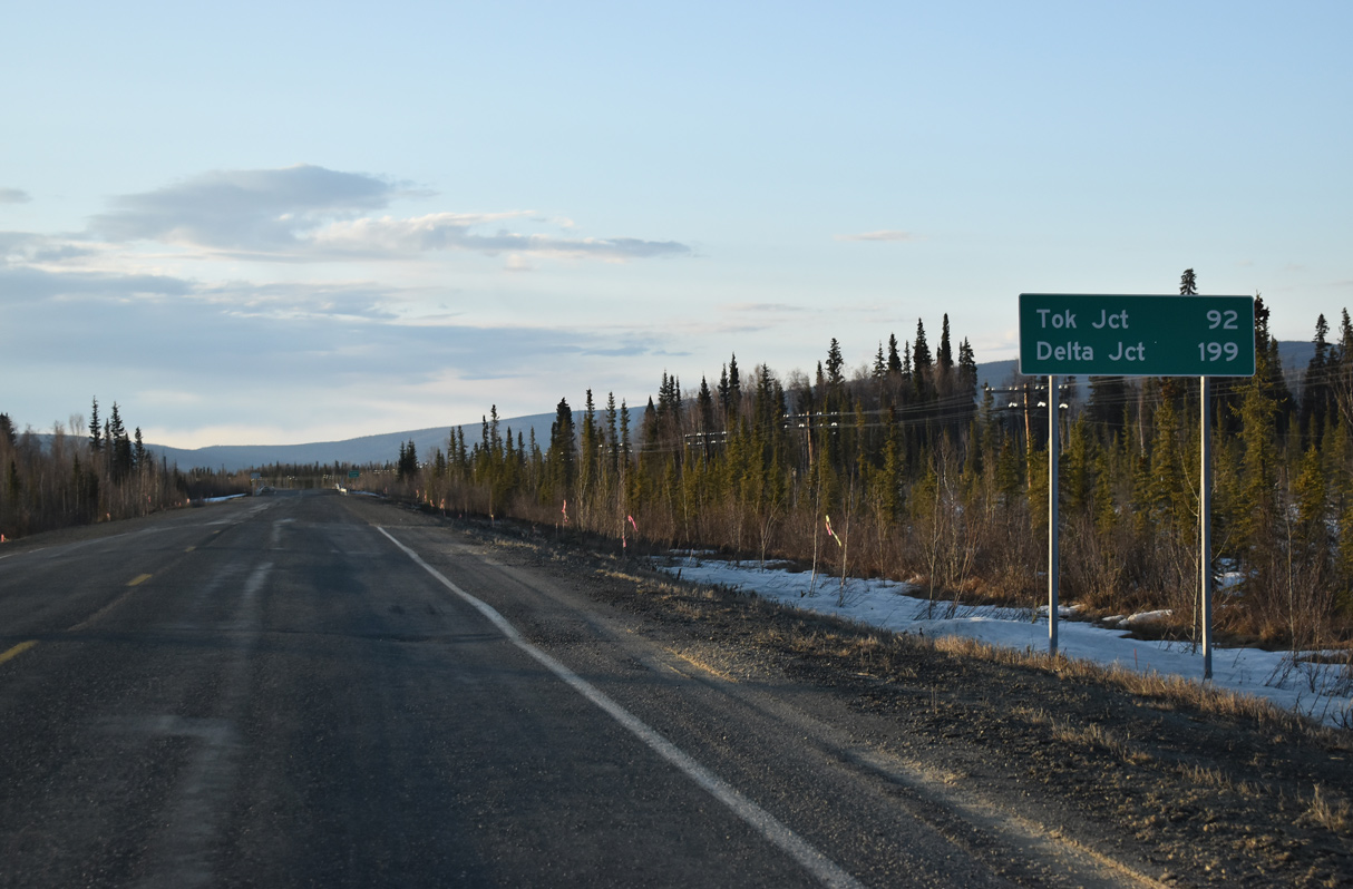
The second distance sign posted along SR 2 at Alcan Border is also inaccurate. Tok, where SR 2 meets SR 1, is 88 miles to the northwest. Delta Junction and the north end of Alaska Highway is 195 miles away.
05/07/23
05/07/23
05/07/23
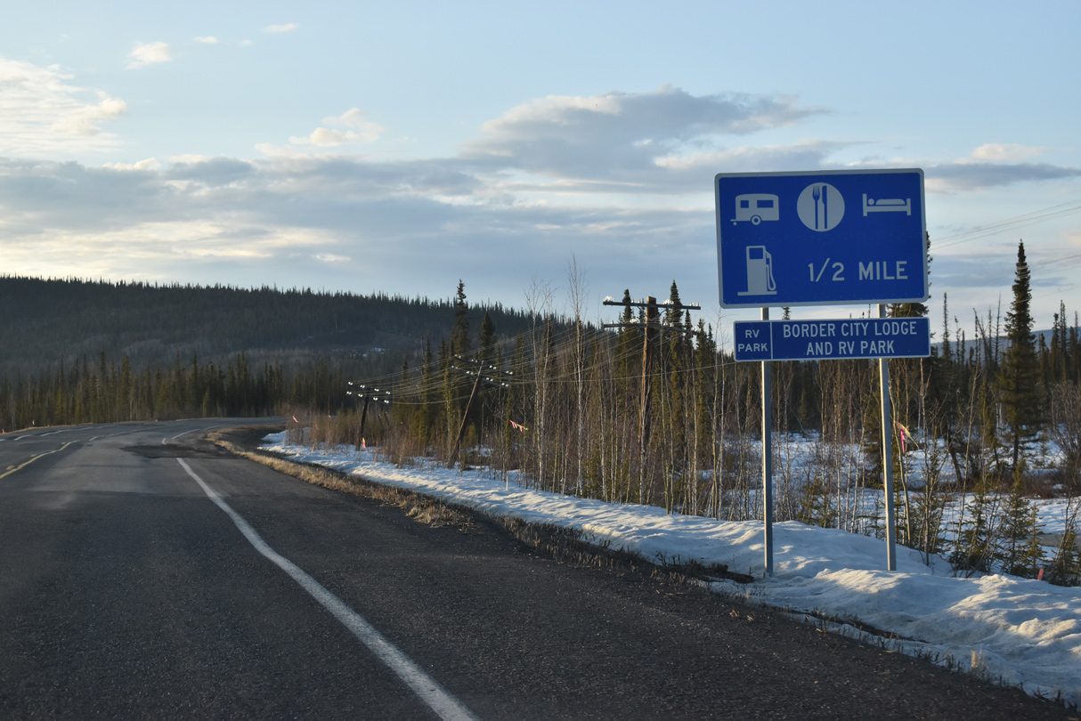
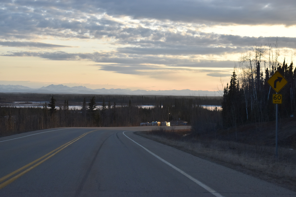
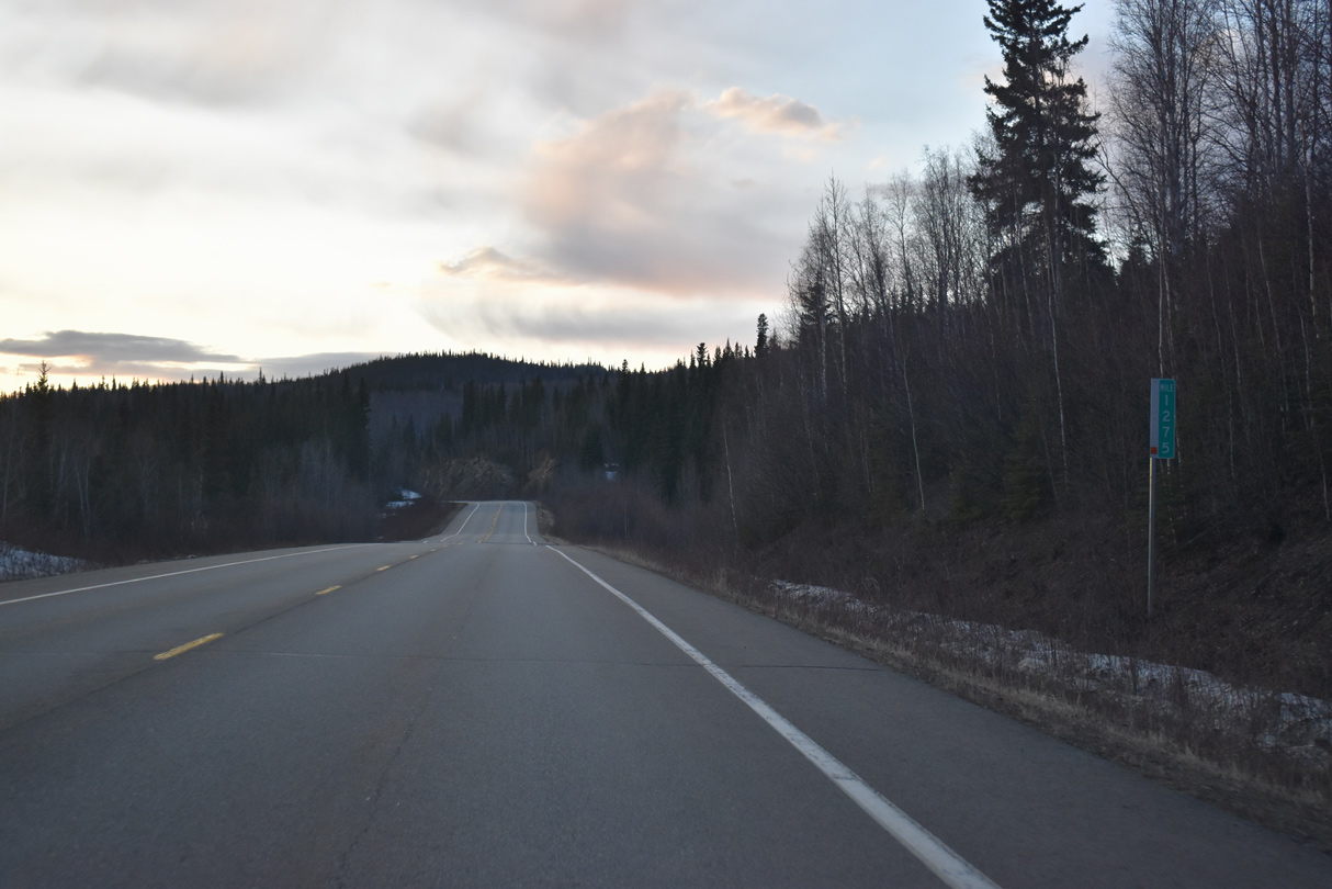
The first traveler services along Alaska Highway north in the Last Frontier are found at Border City Lodge beyond mile marker 1225.
05/07/23
05/07/23
05/07/23

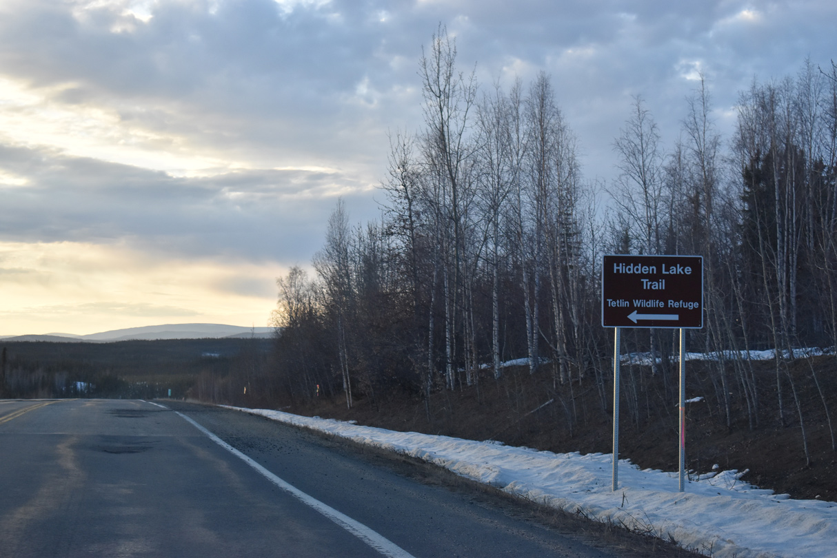
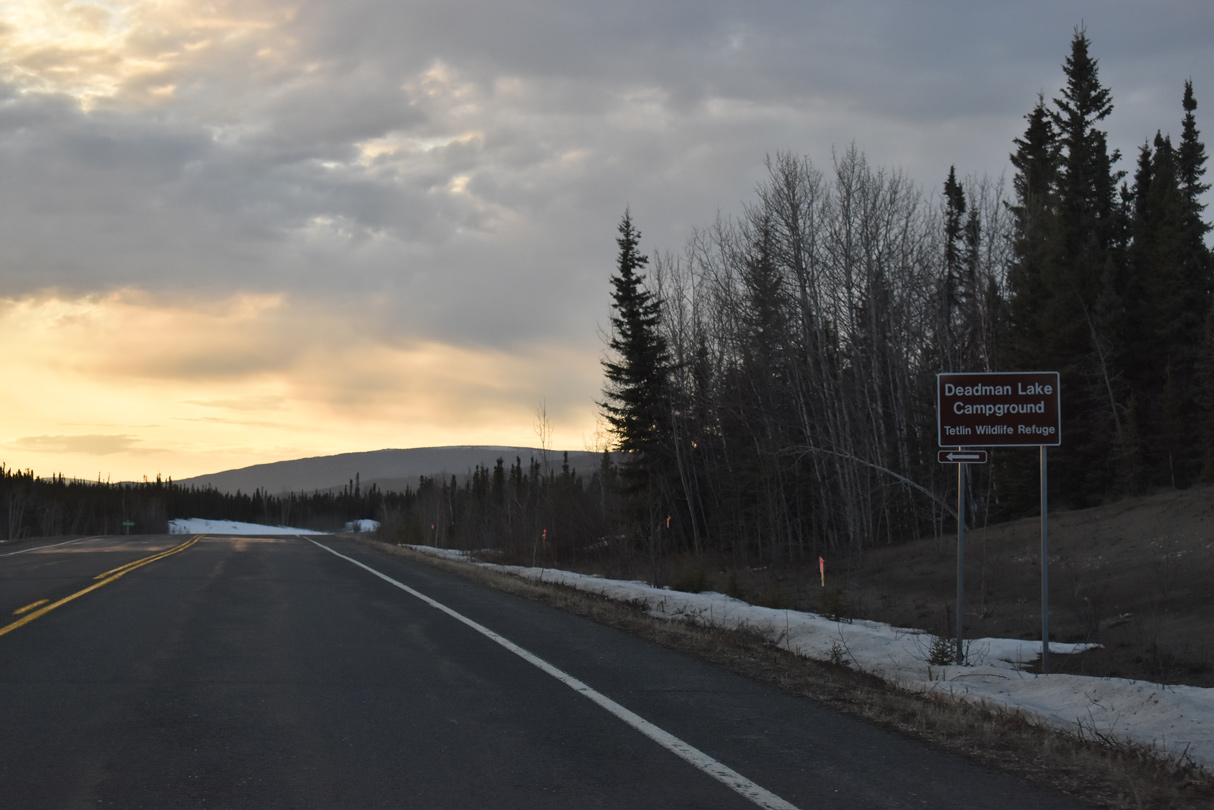
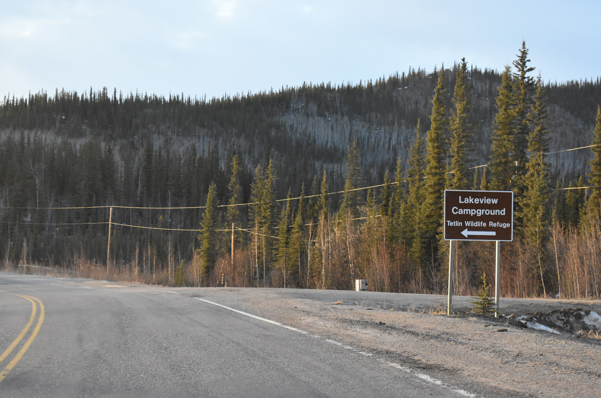
The Tetlin National Wildlife Refuge visitor center is located along Alaska Highway at mile marker 1299.
05/07/23
05/07/23
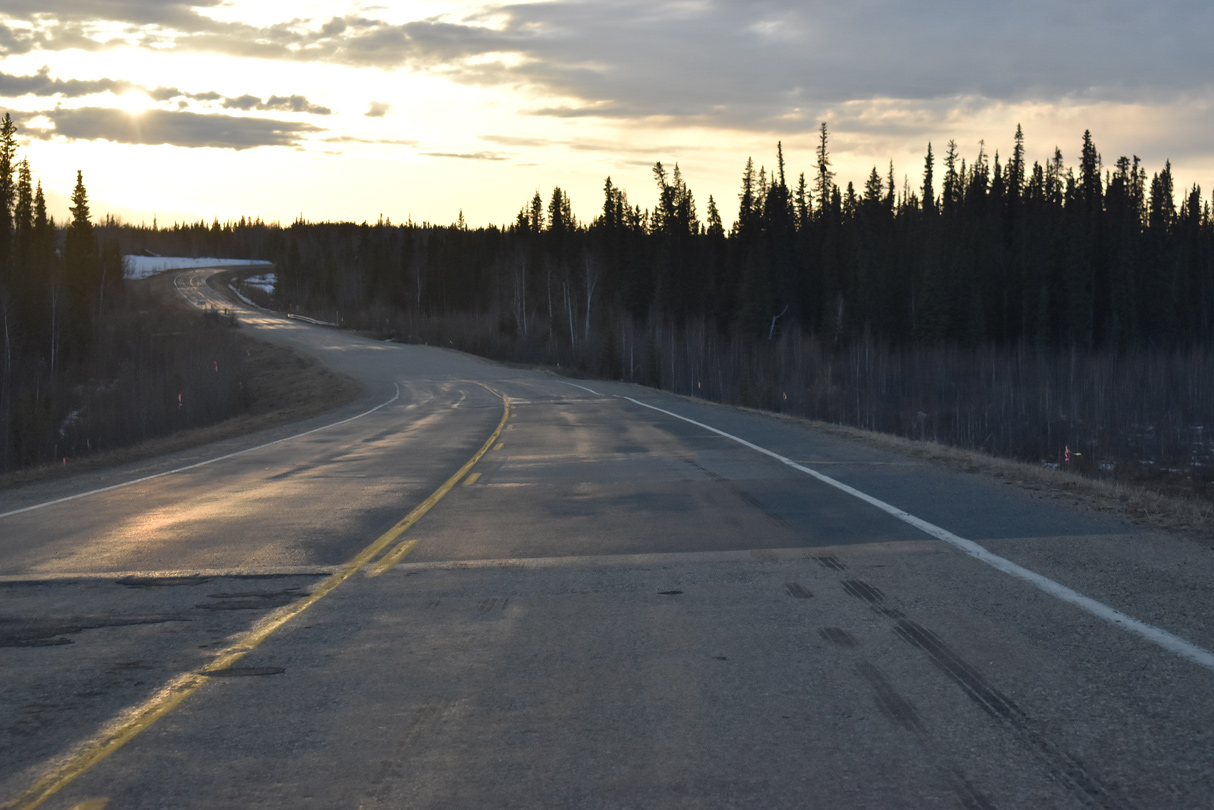
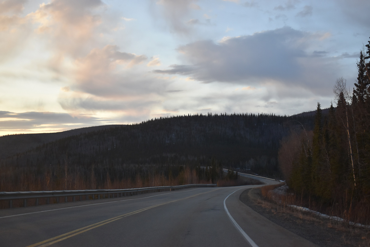
SR 2 (Alaska Highway) west of Island Lake.
05/07/23
05/07/23
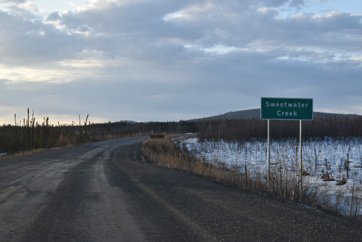
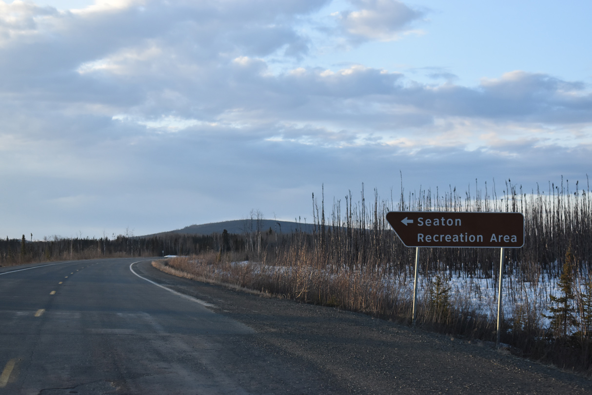
SR 2 north at Sweetwater Creek. A former alignment of Alaska Highway loops west to Seaton Lake nearby.
05/07/23
05/07/23
05/07/23
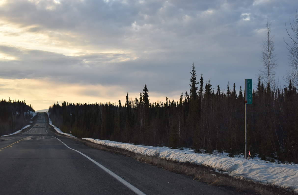
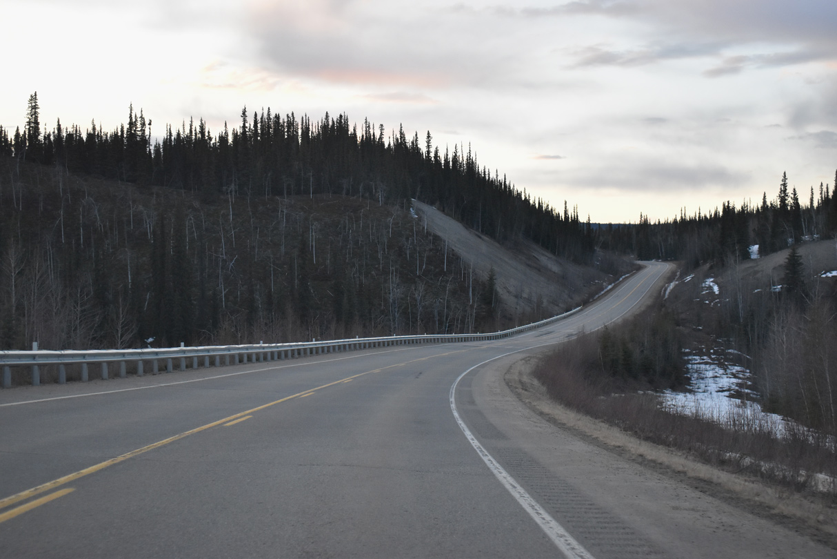
SR 2 reassurance marker posted ahead of Alaska Highway mile marker 1238 on Paradise Hill.
05/07/23
05/07/23
05/07/23
05/07/23

05/07/23
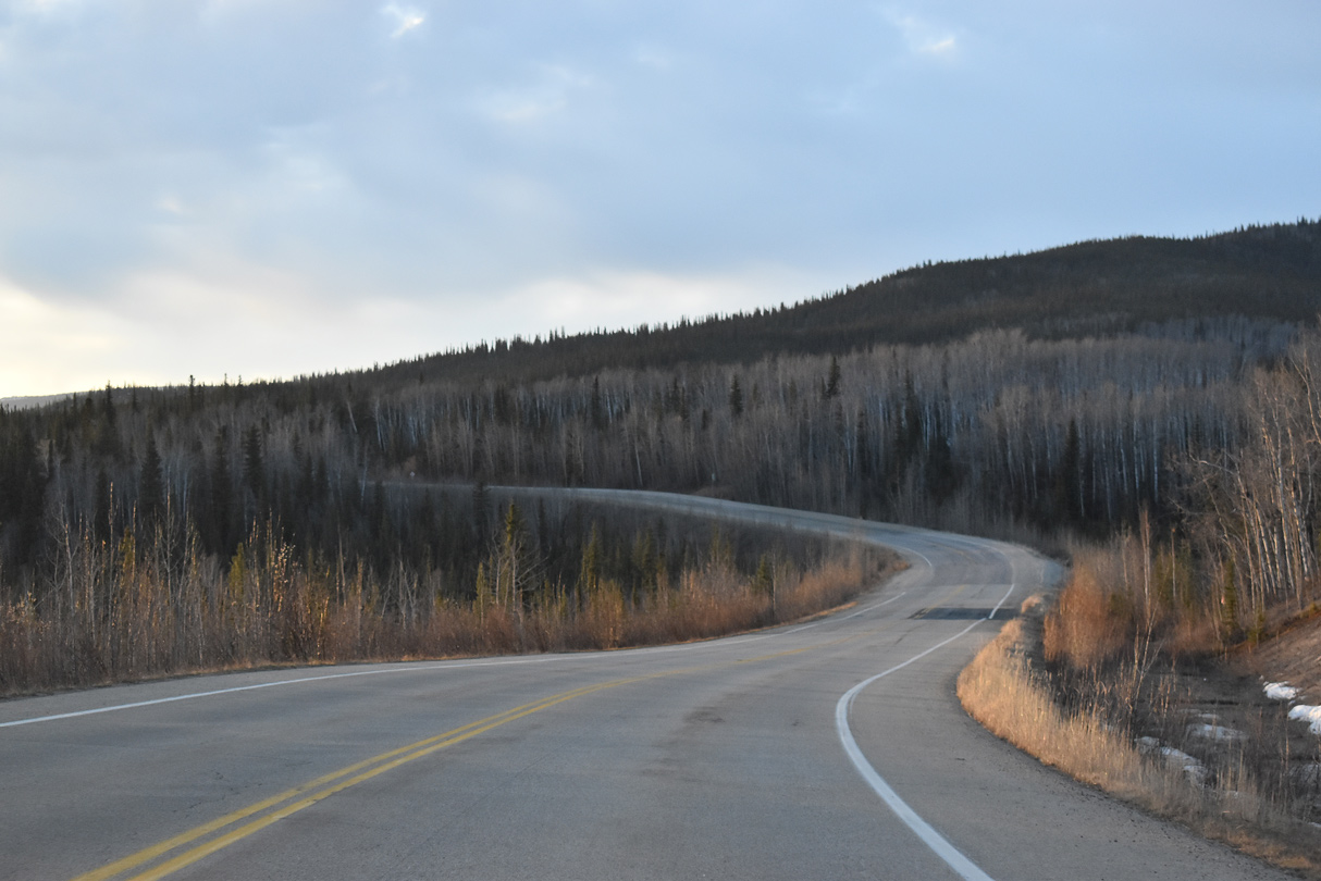
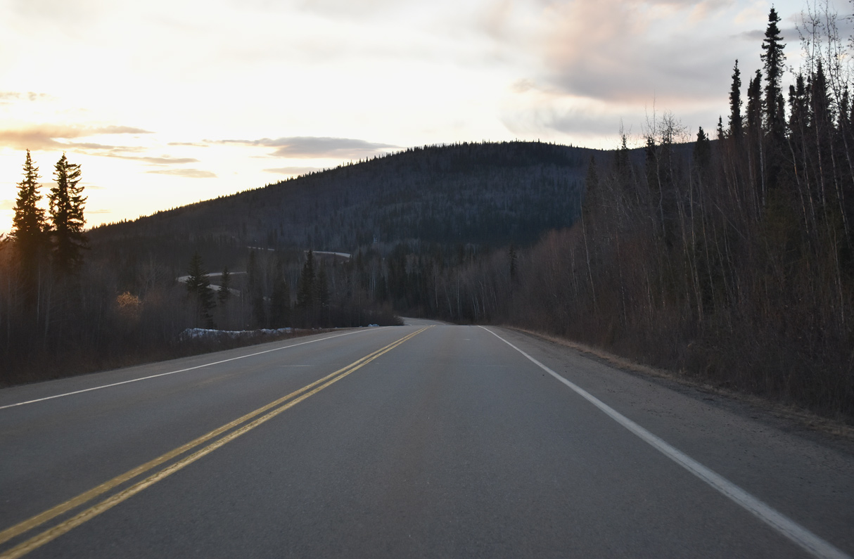
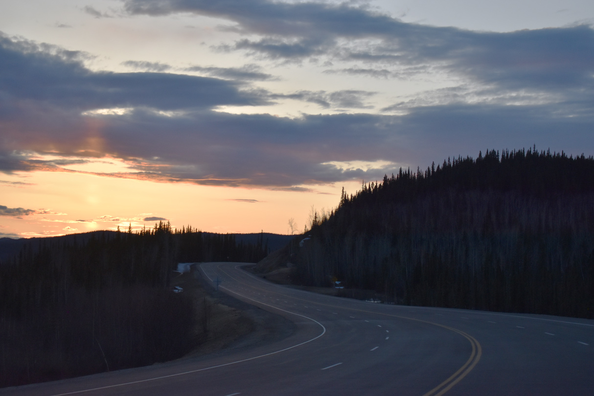
Alaska Highway north at Gardiner Creek.
05/07/23
05/07/23

05/07/23
05/07/23
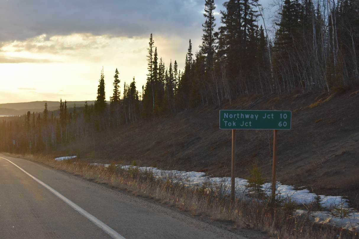
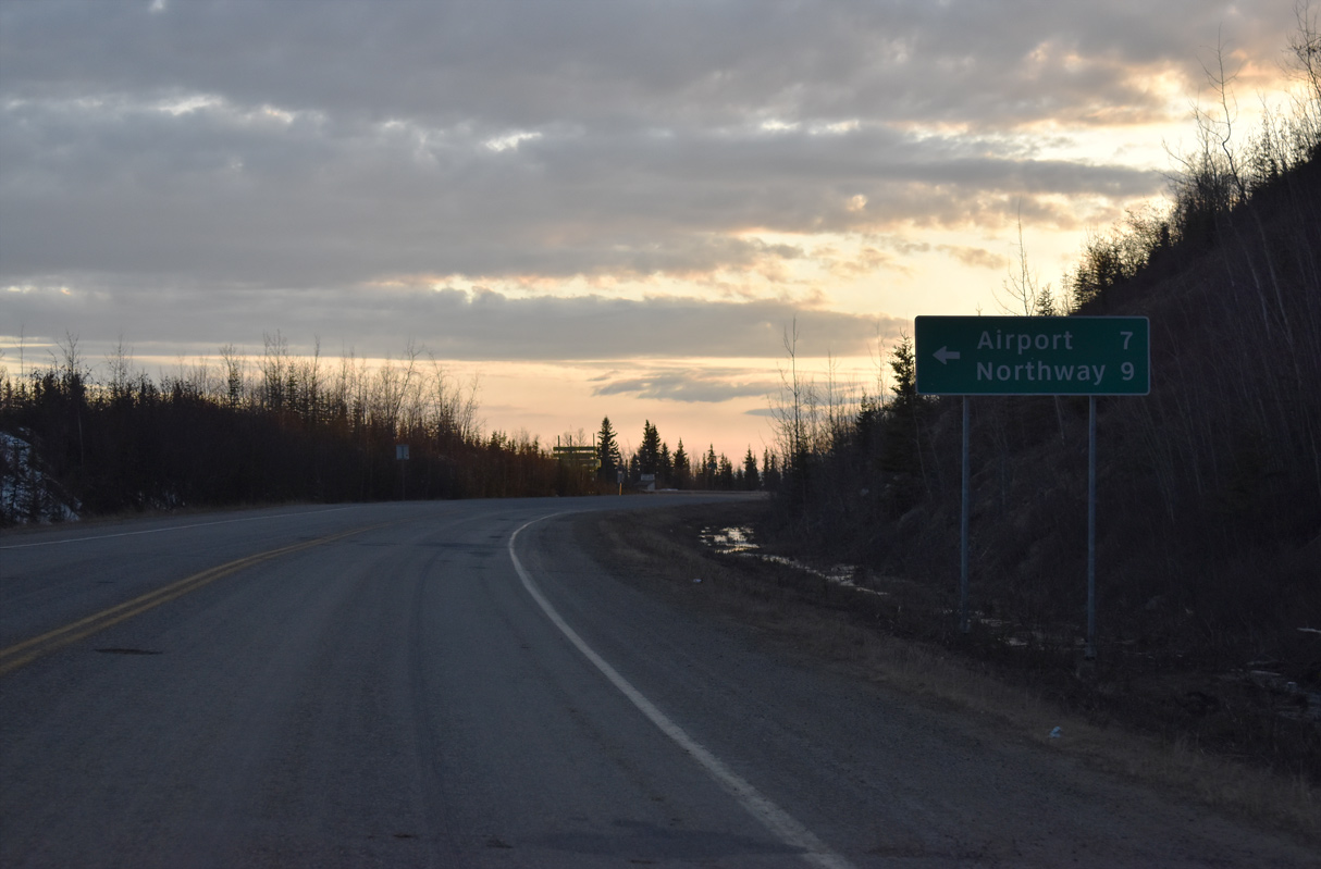
Distance sign posted 9.7 miles from Northway Junction and 58.5 miles from Tok.
05/07/23
05/07/23
05/07/23
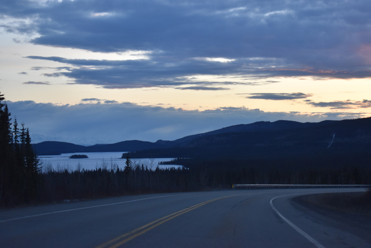
Yarger Lake comes into view along Alaska Highway north ahead of mile marker 1256.
05/07/23
05/07/23
05/07/23
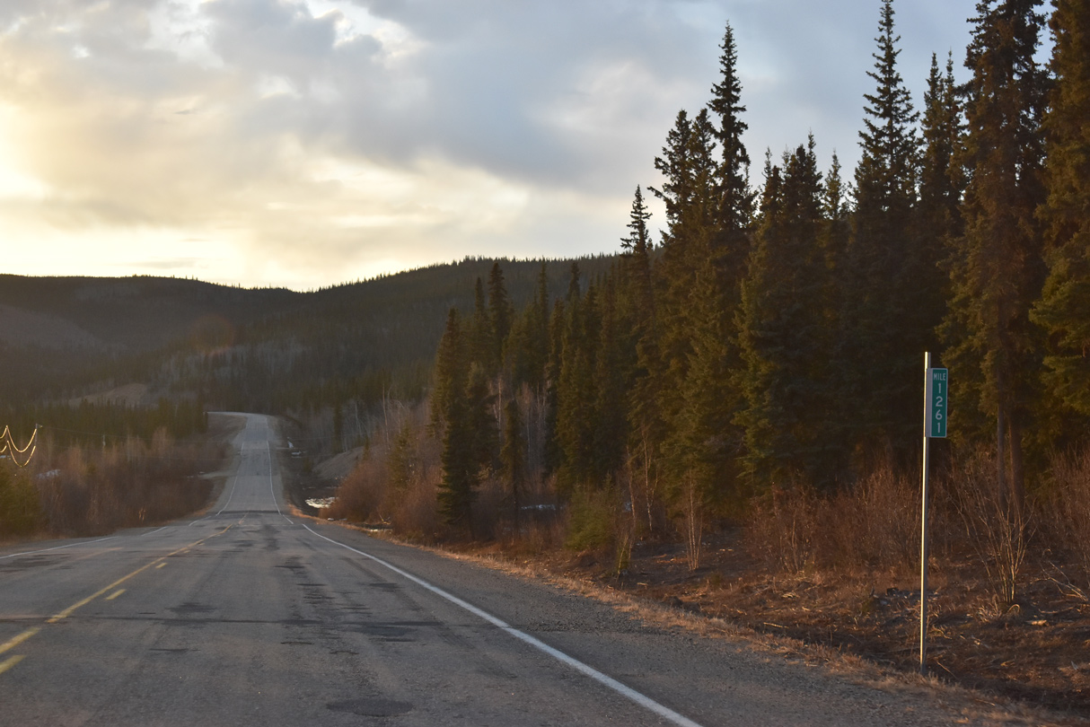
SR 2 (Alaska Highway) passes east of Steve Lake by milepost 1261.
05/07/23
05/07/23
SR 2 (Alaska Highway) advances west from mile marker 1262 to Northway Junction within the Northway census designated place.
05/07/23
05/07/23
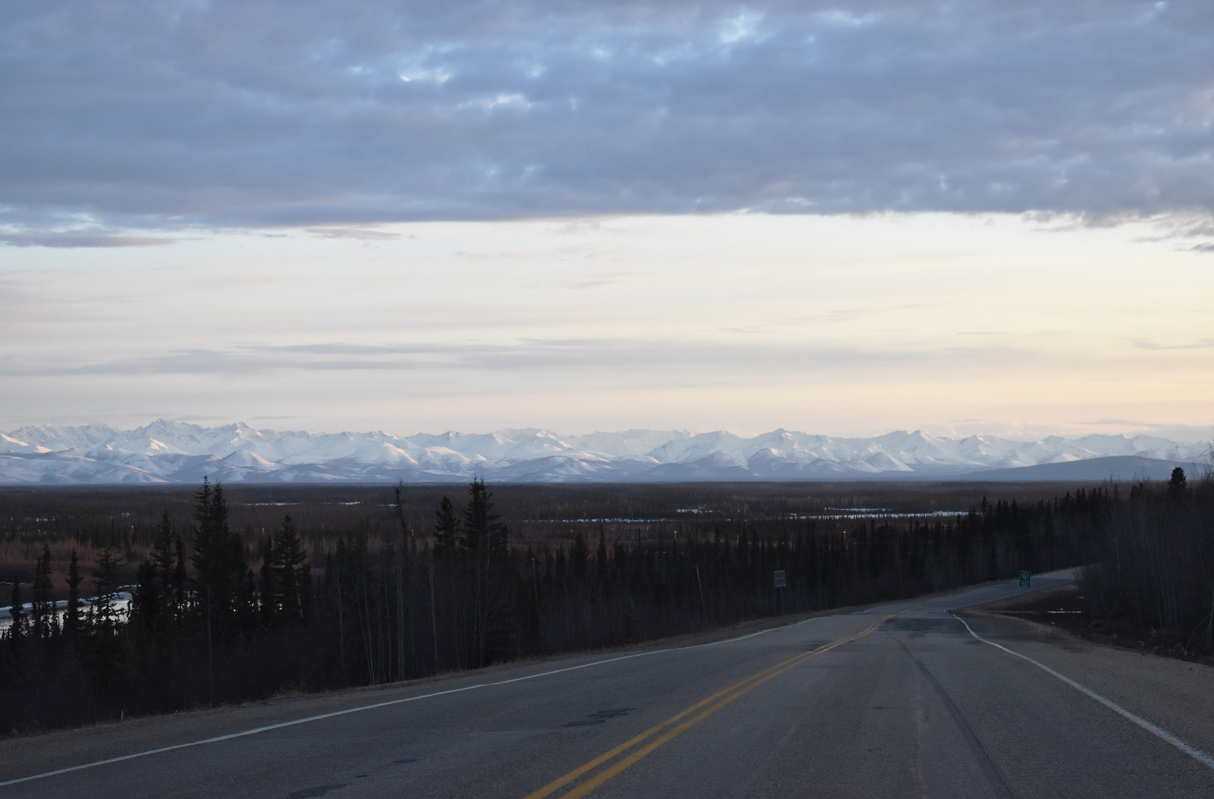
The Mentasta Mountains spread along the western horizon from SR 2 at Northway.
05/07/23
05/07/23
Northway Road spurs 9.06 miles southwest to Northway Airport (ORT) and Northway Village.
05/07/23
05/07/23
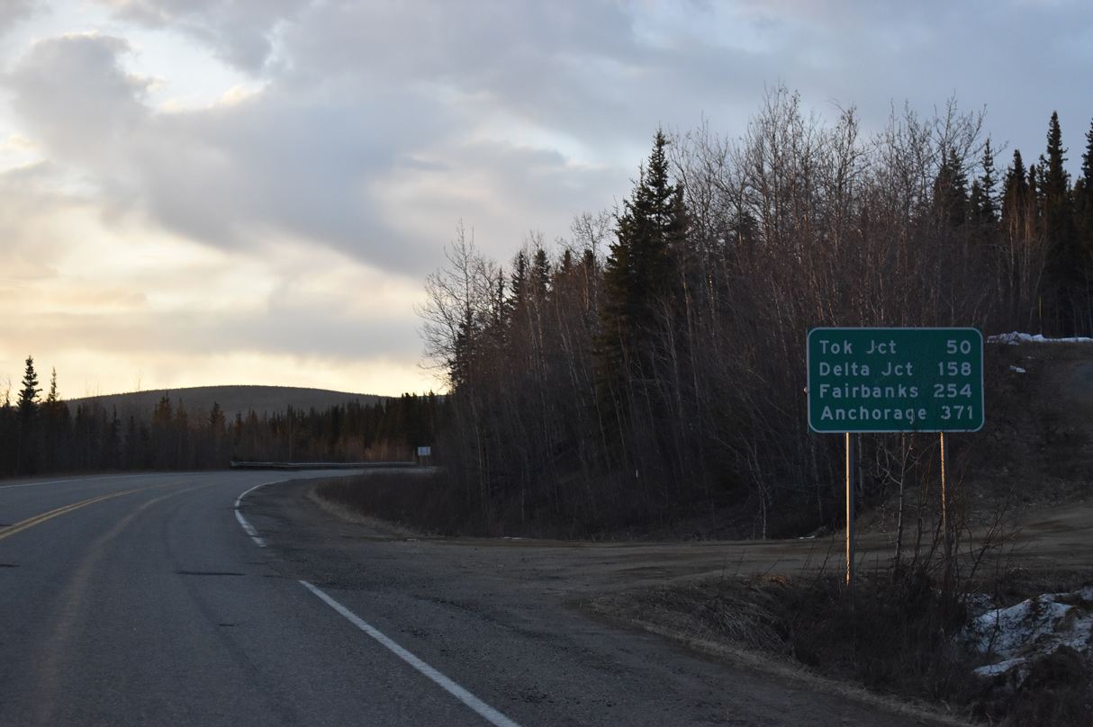
48.7 miles remain along SR 2 (Alaska Highway) northwest to Tok. Delta Junction is 156 miles away.
05/07/23
05/07/23
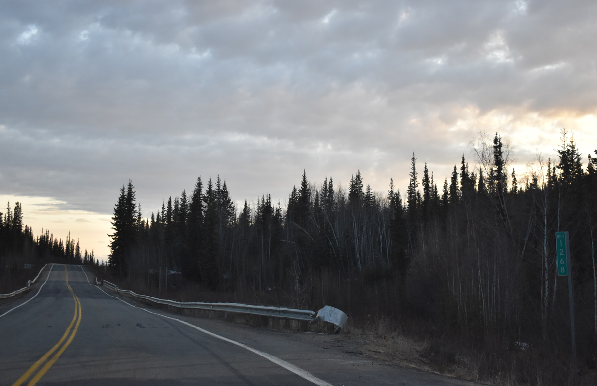
Alaska Highway crosses Beaver Creek just beyond mile marker 1268.
05/07/23
05/07/23

05/07/23
05/07/23
05/07/23
05/07/23
05/07/23

05/07/23
05/07/23
05/07/23
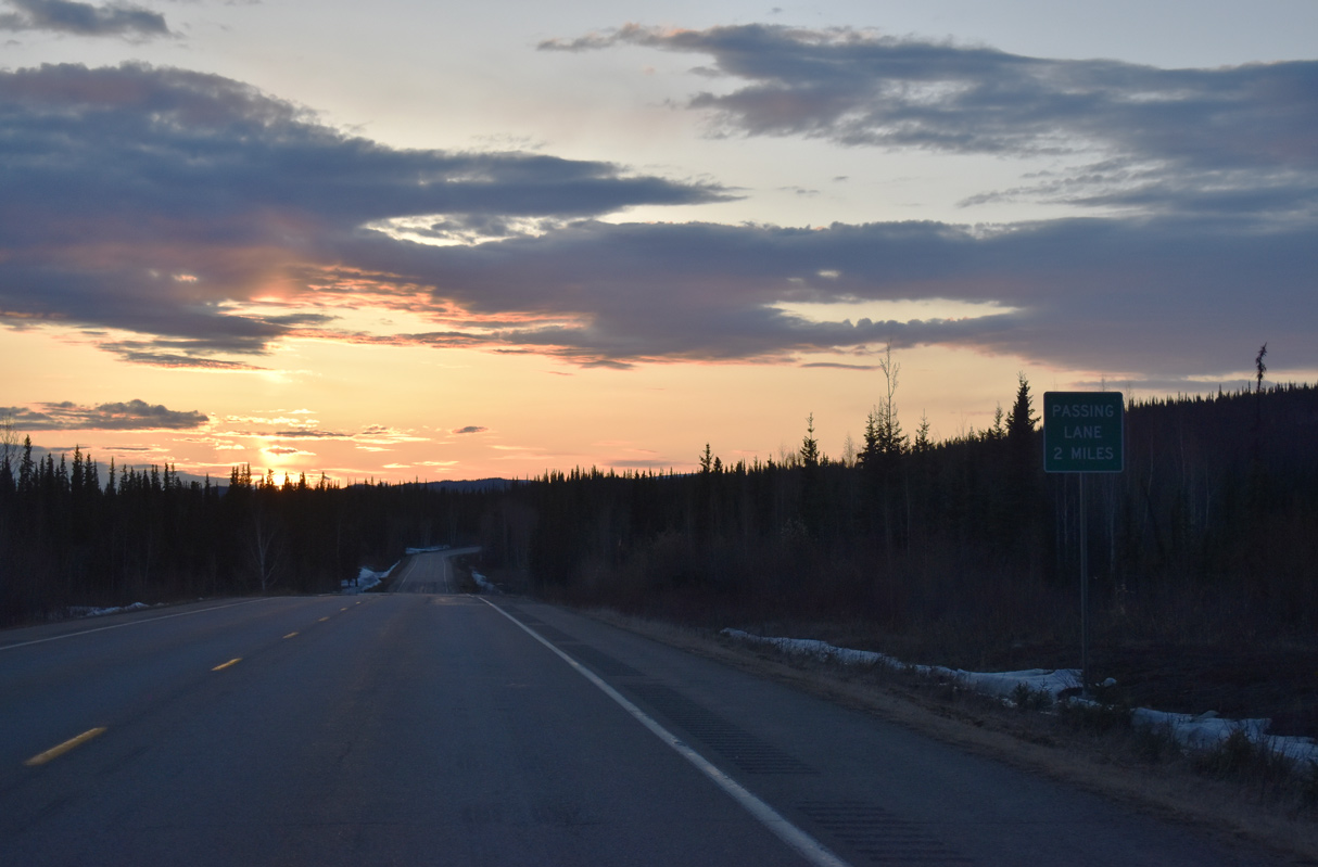
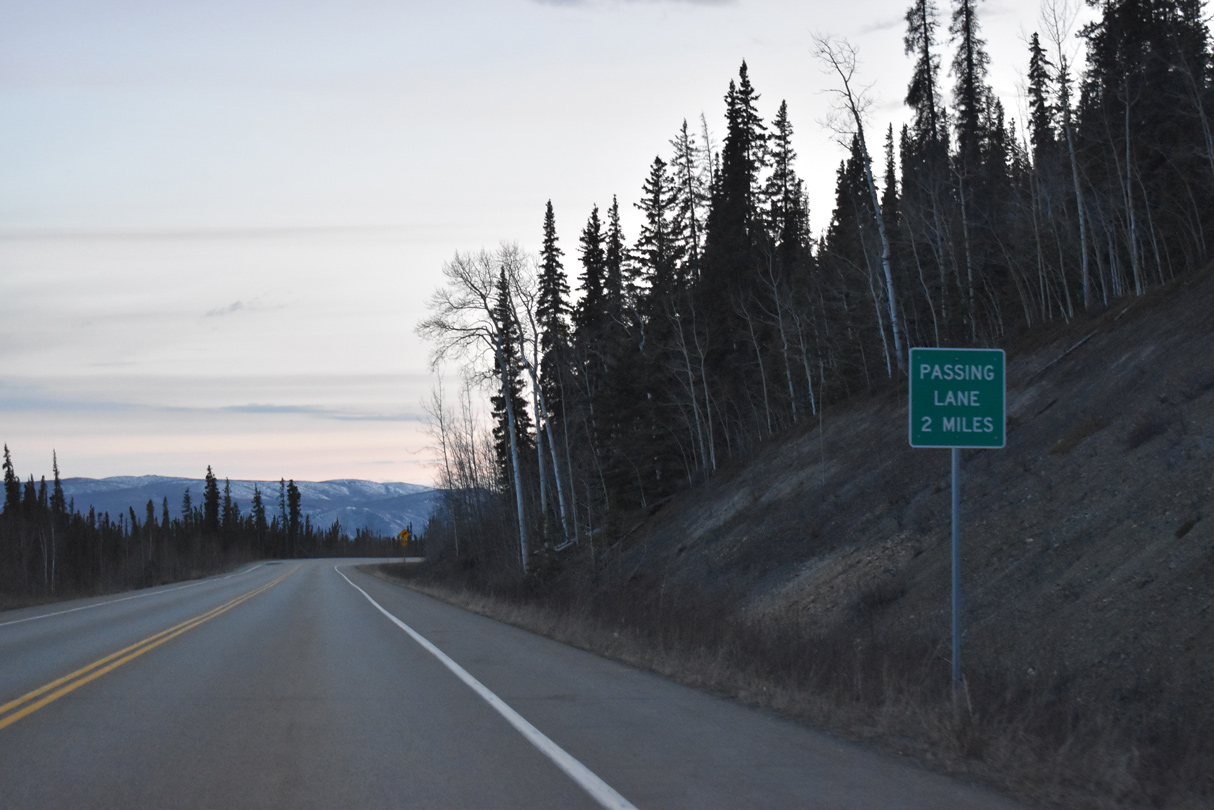
SR 2 (Alaska Highway) expands with passing lanes at mile marker 1285.
05/07/23
05/07/23
Midway Lake
05/07/23
05/07/23
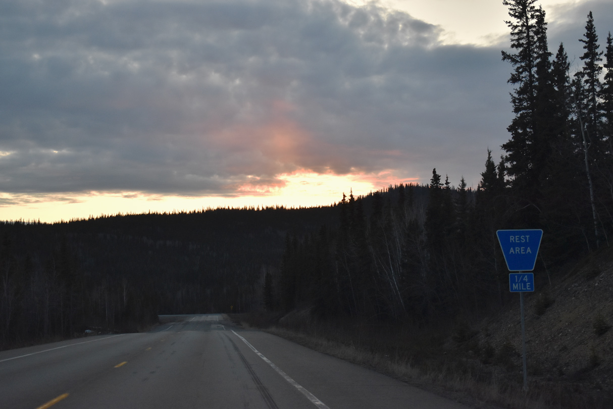
A rest area follows Alaska Highway milepost 1289 on SR 2 northbound.
05/07/23
05/07/23
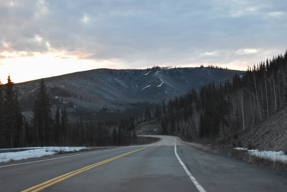
Alaska Highway east of Willow Lake.
05/07/23
05/07/23
05/07/23
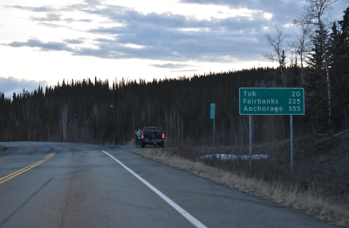
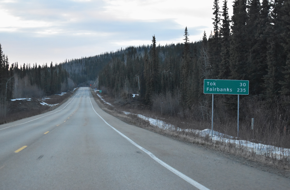
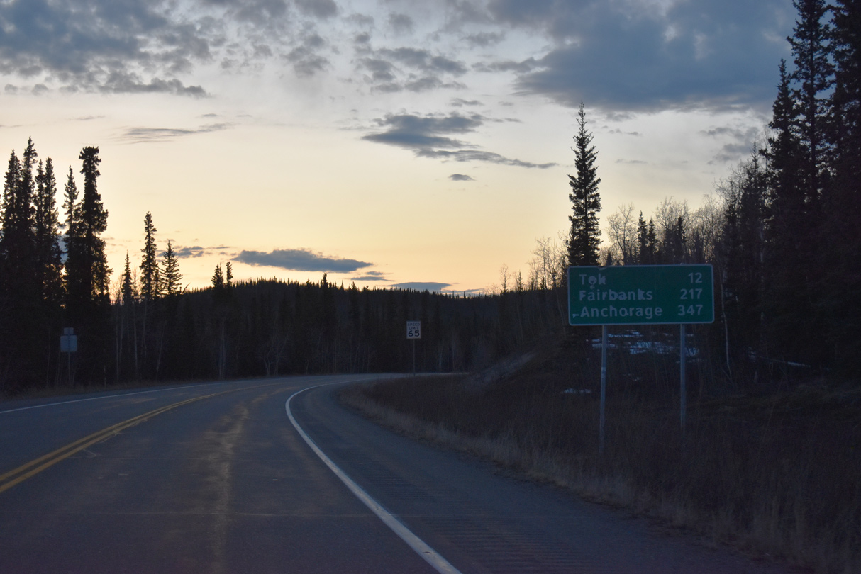
SR 2 at Alaska Highway milepost 1294 is 20 miles out from Tok and 222 miles from Fairbanks.
05/07/23
05/07/23

05/07/23
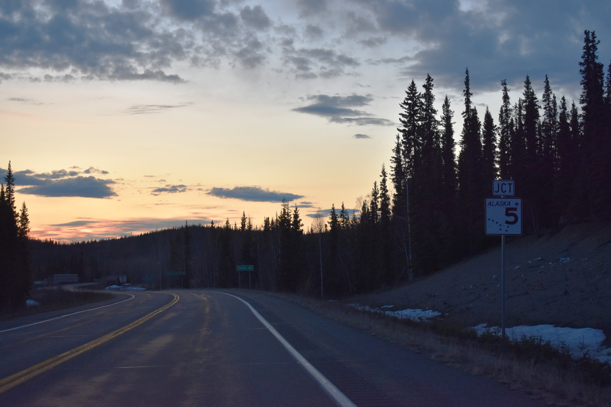
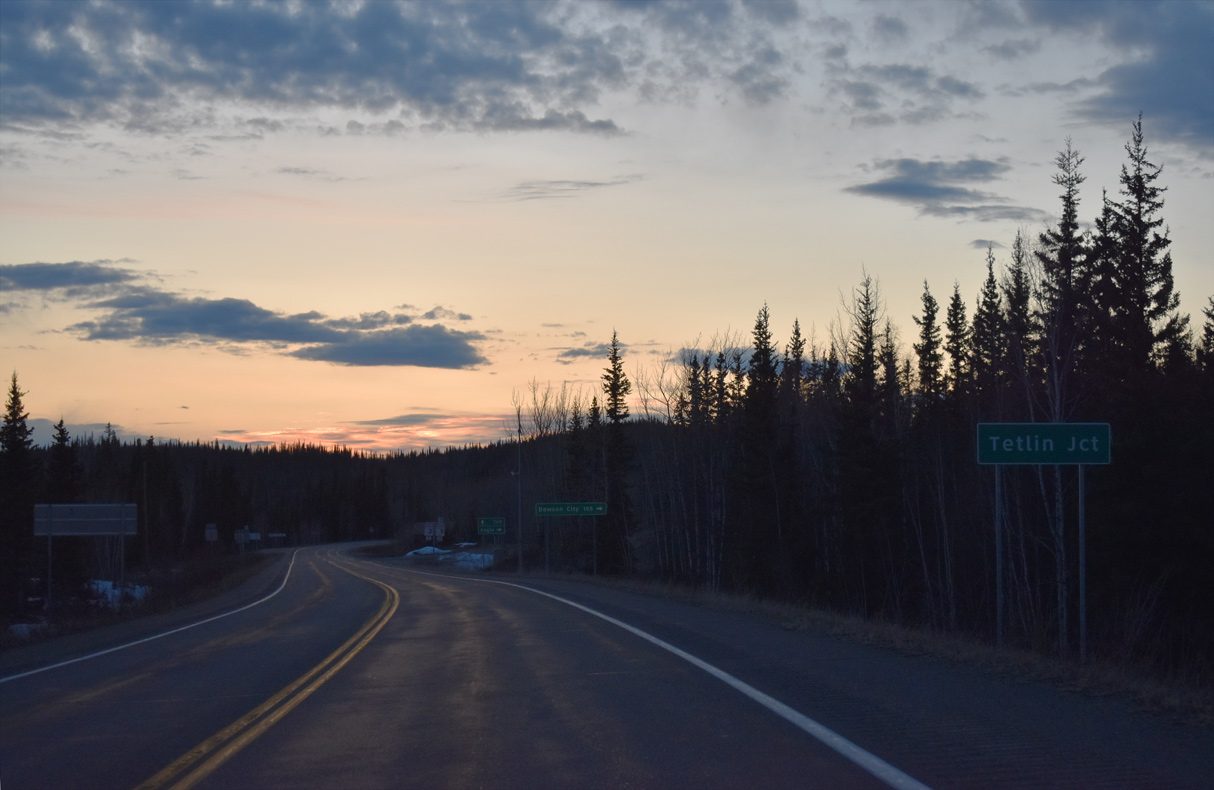
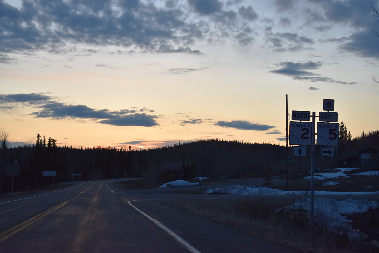
SR 2 (Alaska Highway) meets the south end of SR 5 (Taylor Highway) at Tetlin Junction, north beyond milepost 1301.
05/07/23
05/07/23
05/07/23
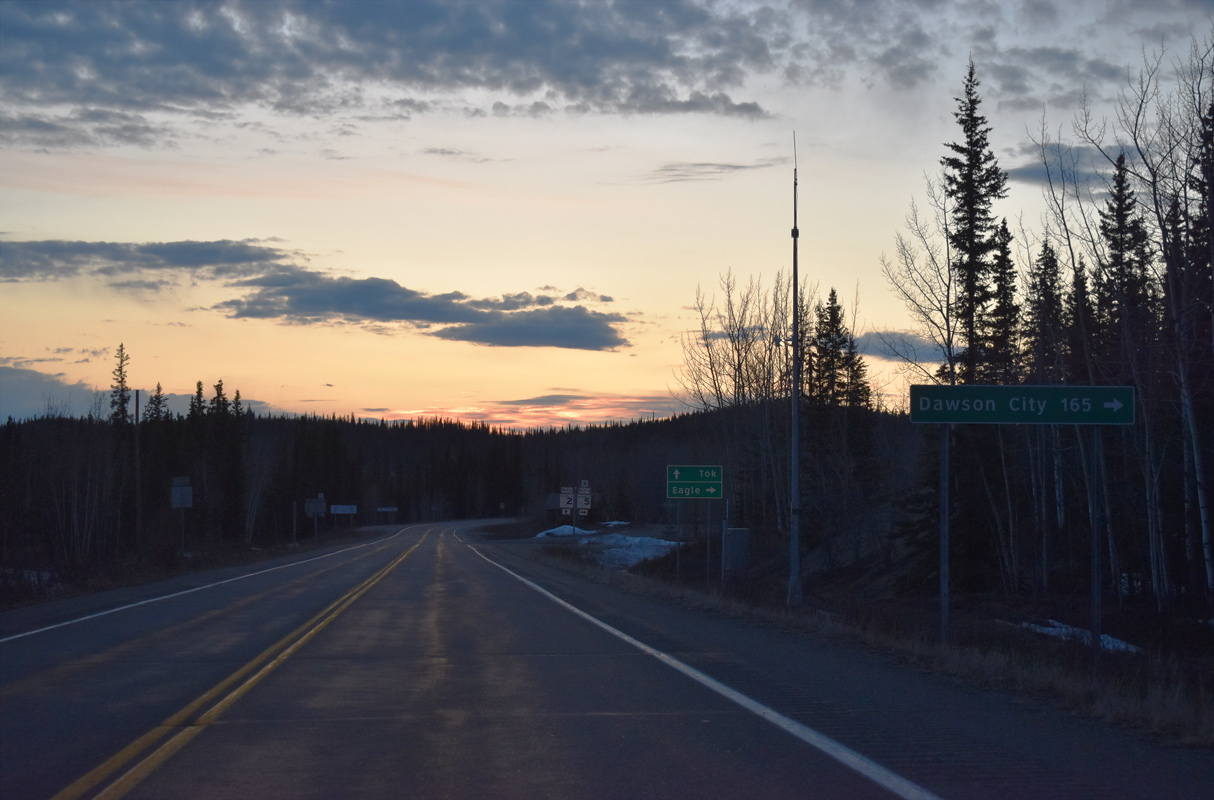
SR 5 (Taylor Highway) north and Top of the World Highway (Yukon Highway 9) east lead 172 miles to a ferry crossing the Yukon River into Dawson City.
05/07/23
05/07/23

State Route 5 extends 157.17 miles north to Eagle along the Yukon River. The route is closed in Winter.
05/07/23
05/07/23
The unincorporated village of Chicken is 65 miles to the north along SR 5 (Taylor Highway).
05/07/23
05/07/23
05/07/23
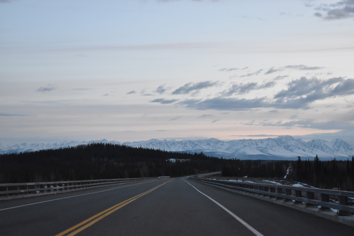
SR 2 (Alaska Highway) crosses the Tanana River over a 903 foot long span built as part of a $31 million project underway from April 2009 to September 2011. SR 2 previously spanned the river on a cantilever truss bridge built by the U.S. Military in 1943.1
05/07/23
05/07/23
The previous bridge taking Alaska Highway across the Tanana River was located 225 feet to the south. It was demolished with explosives on March 1, 2011.1
05/07/23
05/07/23
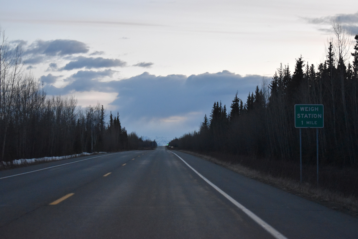
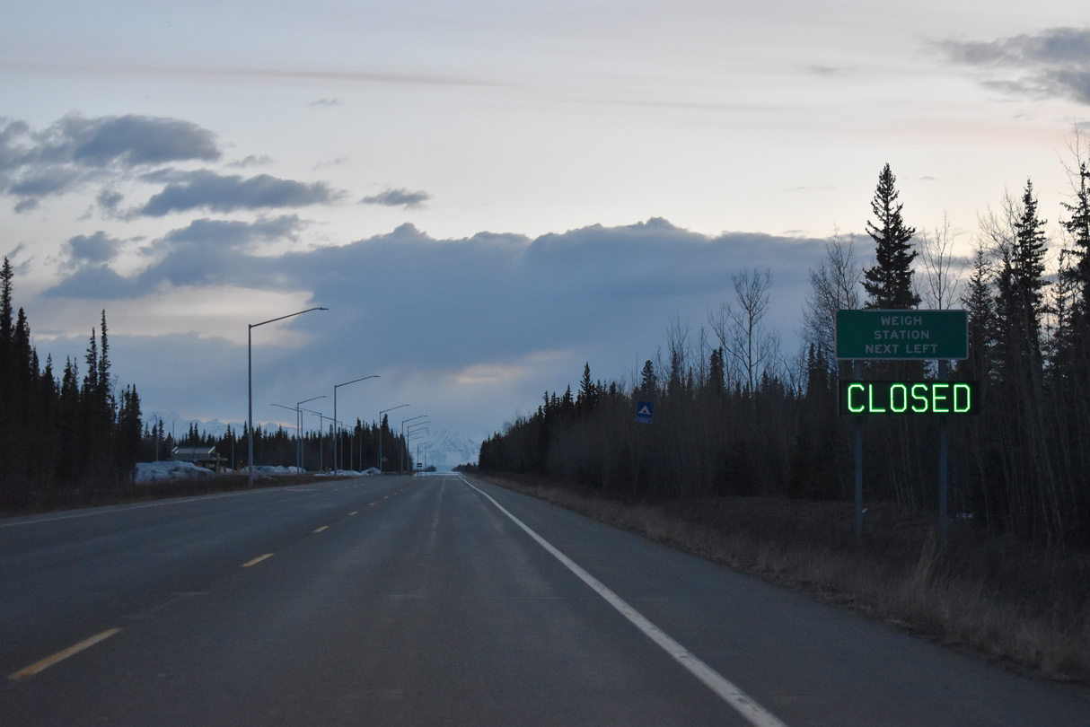
A weigh station operates along Alaska Highway beyond the intersection with Tetlin Access Road south.
05/07/23
05/07/23
05/07/23
05/07/23
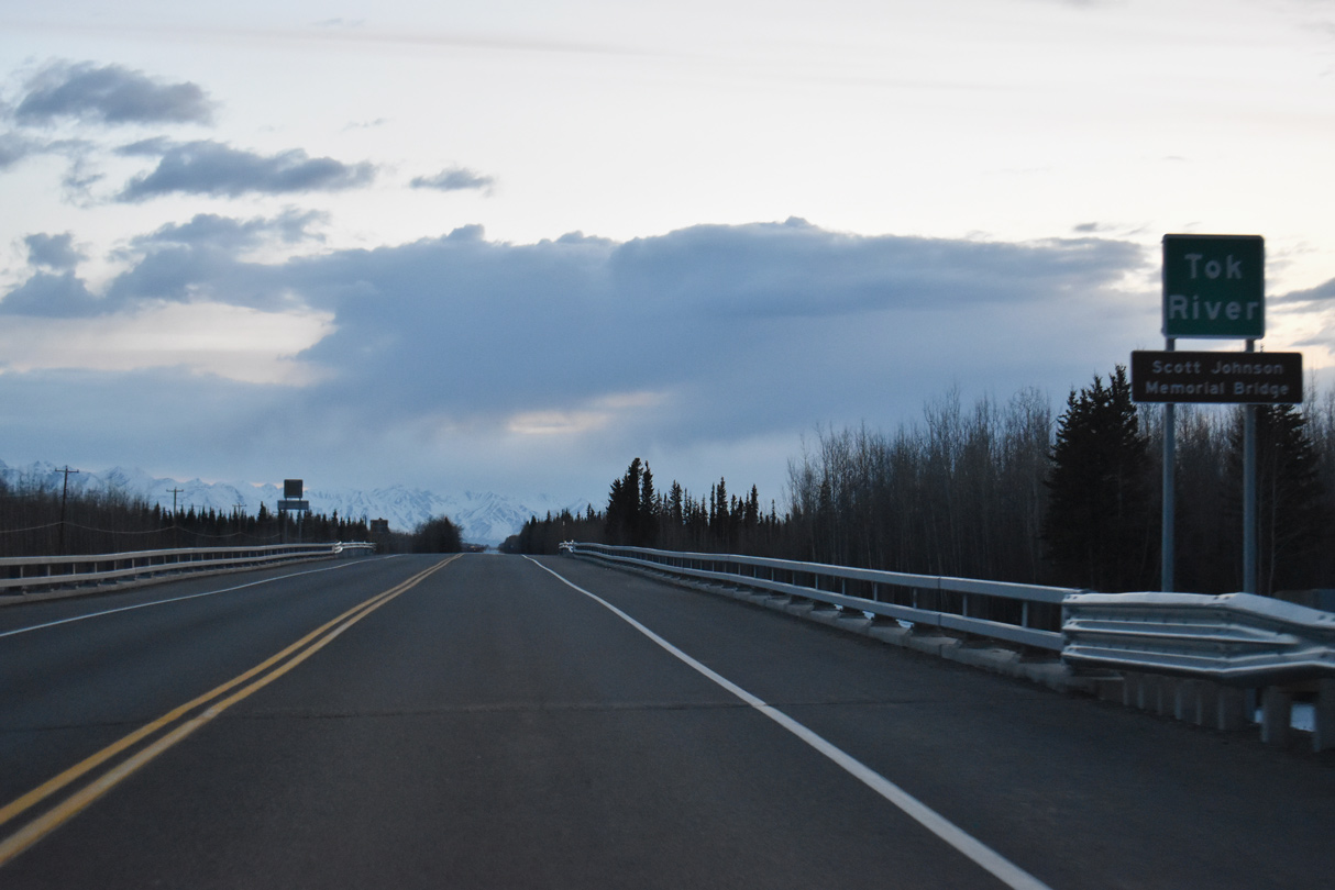
State Route 2 crosses the Tok River over the Scott Johnson Memorial Bridge.
05/07/23
05/07/23
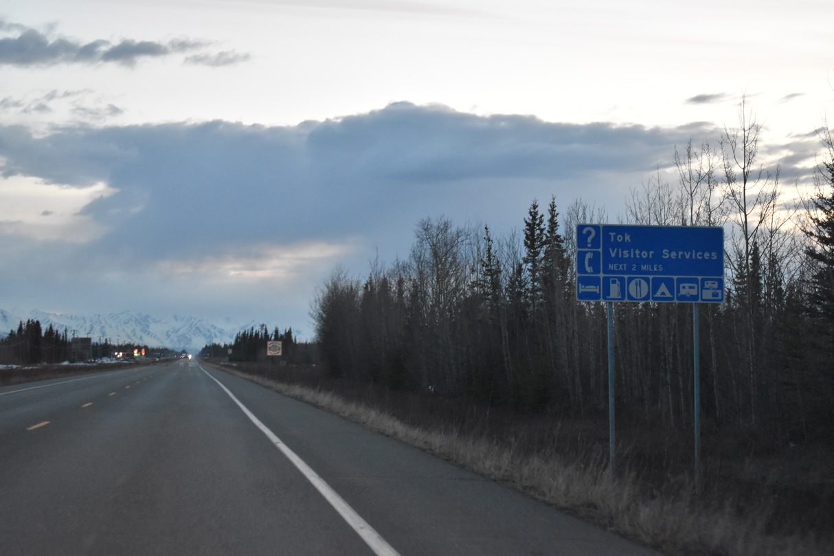
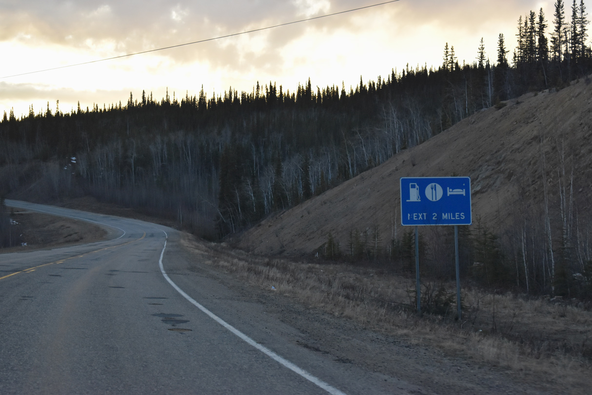
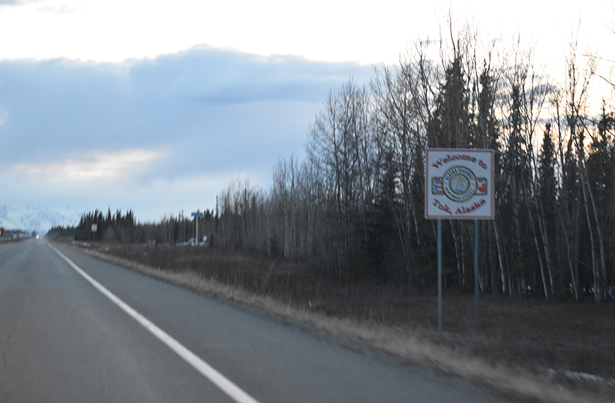
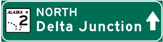
The community of Tok includes the largest array of traveler services along Alaska Highway until Delta Junction and SR 1 until Glennallen.
05/07/23
05/07/23
05/07/23
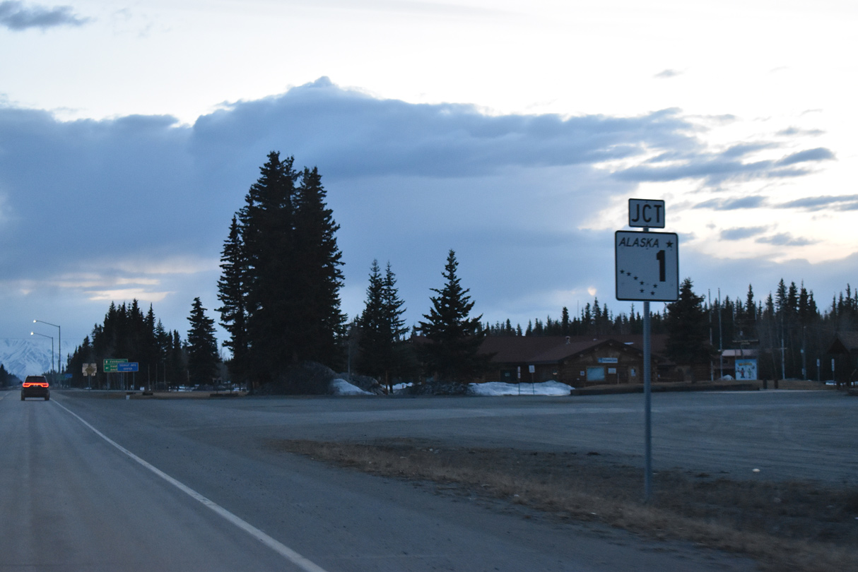
SR 2 (Alaska Highway) meets SR 1 (Tok Cutoff Highway) at Center Street in the heart of Tok.
05/07/23
05/07/23
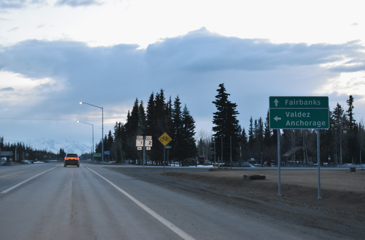
SR 1 follows Tok Cutoff Highway 122.36 miles southwest to SR 4 (Richardson Highway). Richardson Highway spurs south from Glennallen to Valdez while SR 4 turns west along Glenn Highway toward Anchorage.
05/07/23
05/07/23
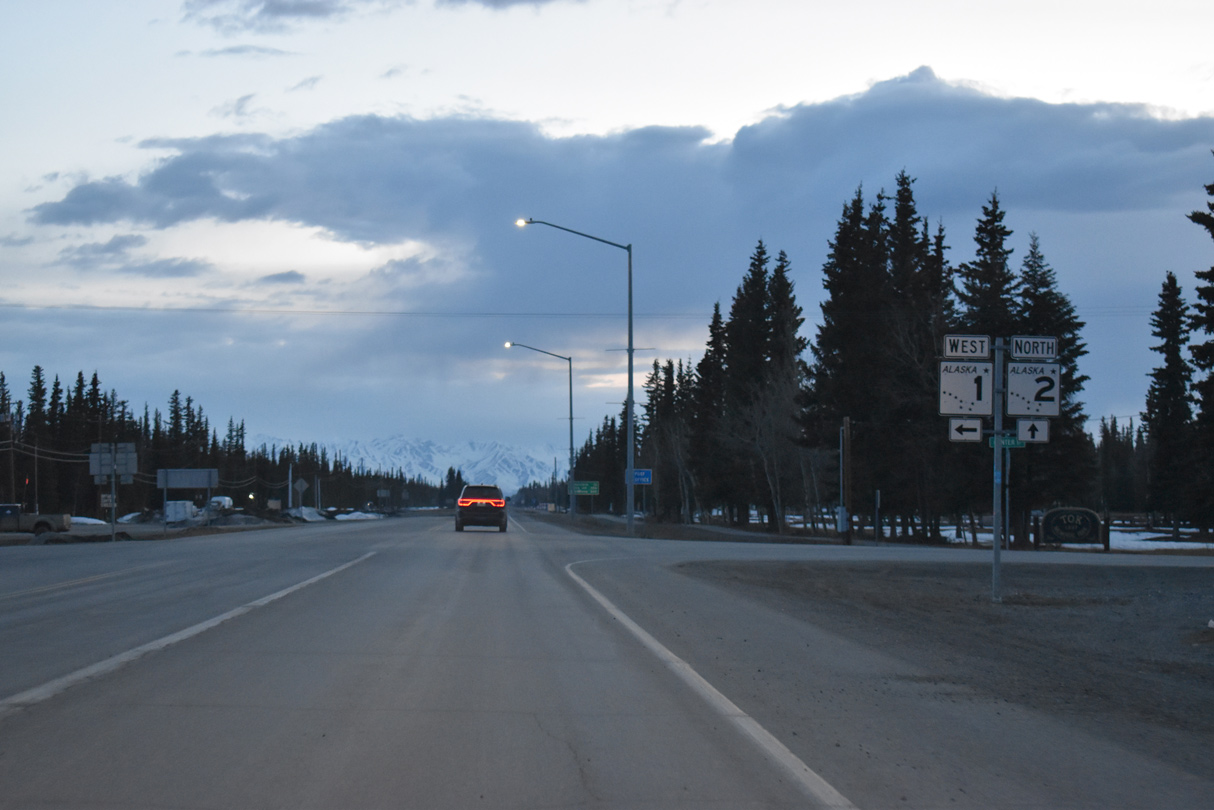
Unsigned Interstate A1 shifts southwest from SR 2 (Alaska Highway) along SR 1 to Anchorage. The remainder of Alaska Highway northwest to Delta Junction is part of Interstate A2.
05/07/23
05/07/23

References:
- "DOT&PF Demolishes the old Tanana River Bridge." https://dot.alaska.gov/comm/ pressbox/arch_2011/PR11-2512.shtml Alaska Department of Transportation & Public Facilities (DOT&PF), press release. March 4, 2011.
Photo Credits:
- Alex Nitzman: 05/07/23
Connect with:
Page Updated Monday June 12, 2023.