
State Route 2 North - Tanacross to Delta Junction
 North
North
05/07/23

SR 2 (Alaska Highway) west between McKenzie Trail and Birch Lane in Tok.
05/08/23
05/08/23

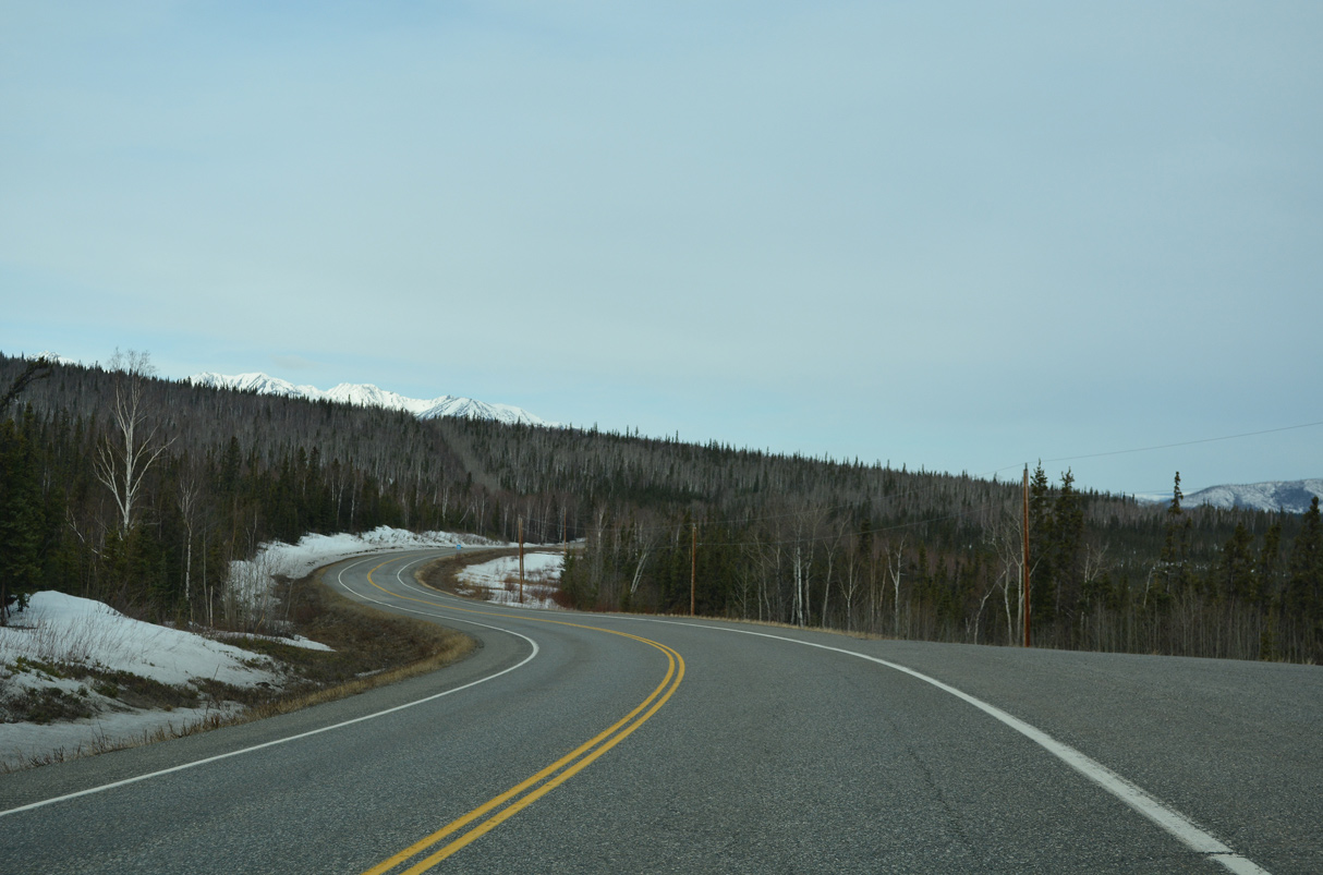
Alaska Highway bee lines west from Tok to the census designated place of Tanacross. A multi use trail accompanies this stretch of State Route 2.
05/08/23
05/08/23
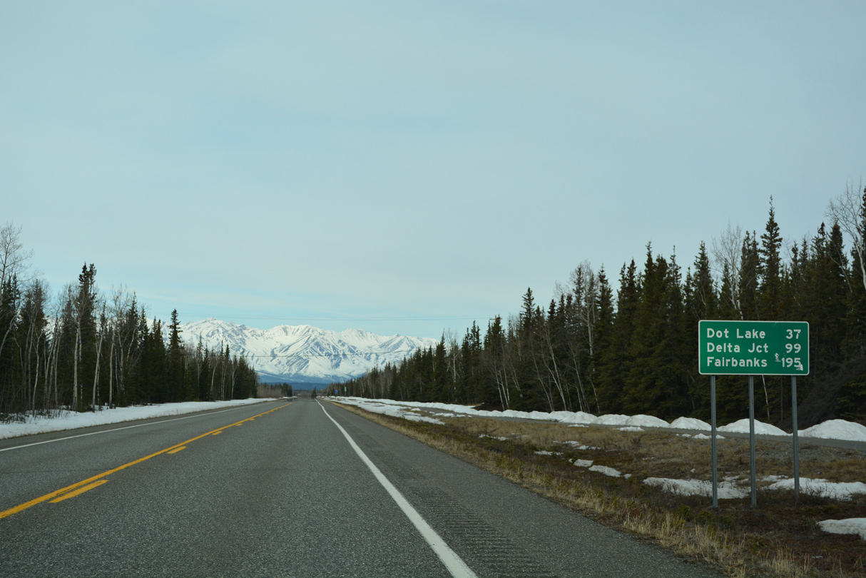
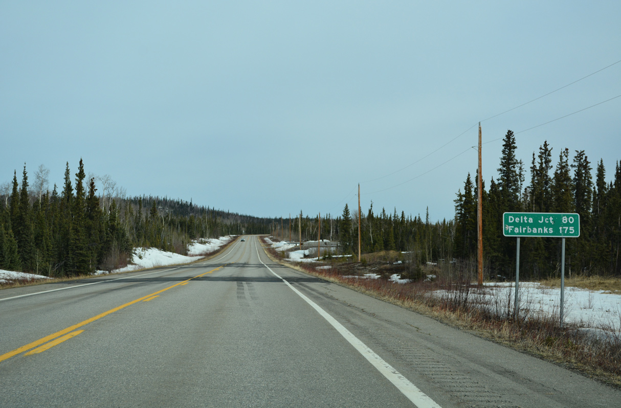
96.6 miles from Delta Junction, a distance sign appears along SR 2 west of the access road for Tanacross Airport (TSG).
05/08/23
05/08/23
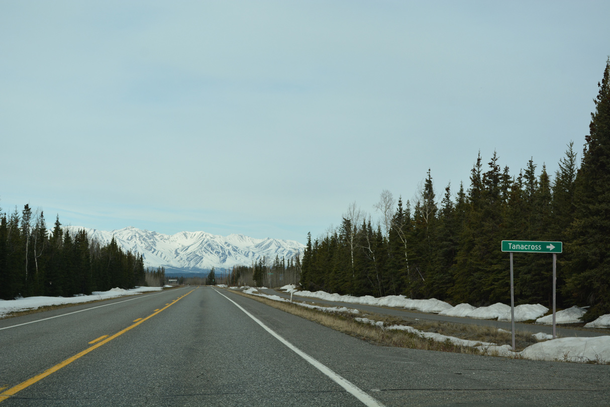
New Tanacross Road spurs 1.11 miles north from Alaska Highway to Clearwater Road at Tanacross.
05/08/23
05/08/23
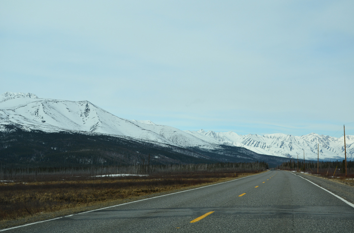
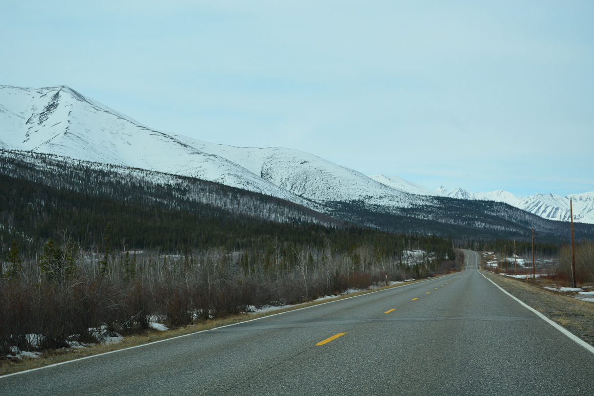
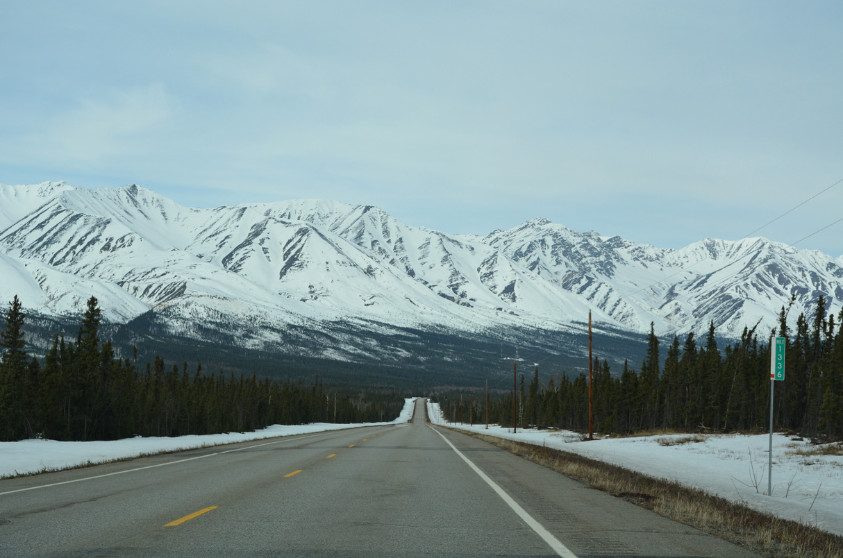
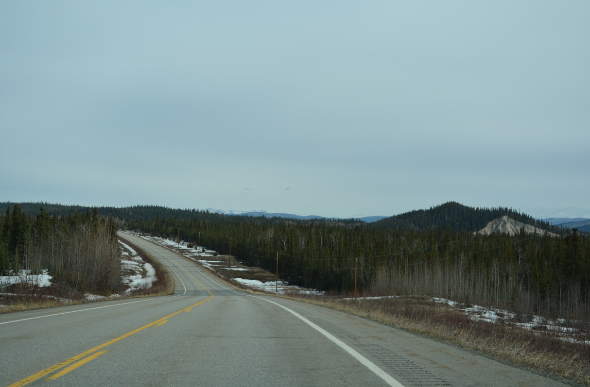
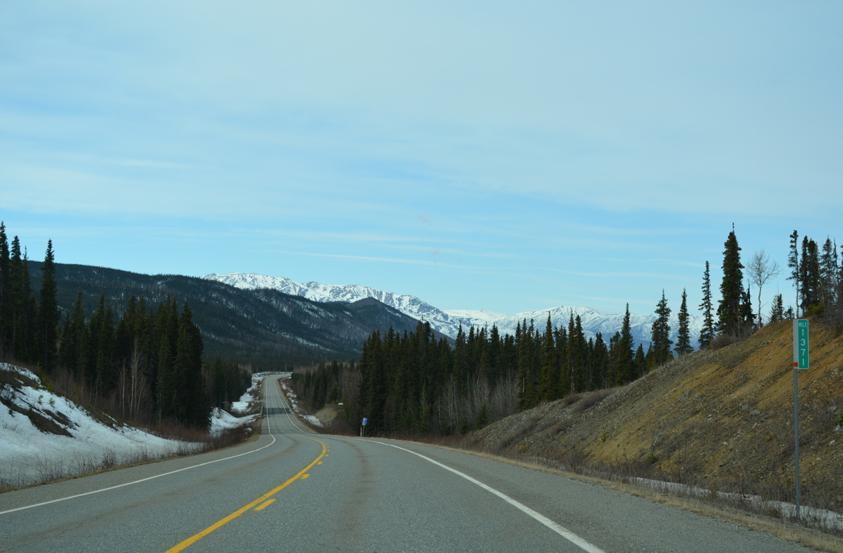
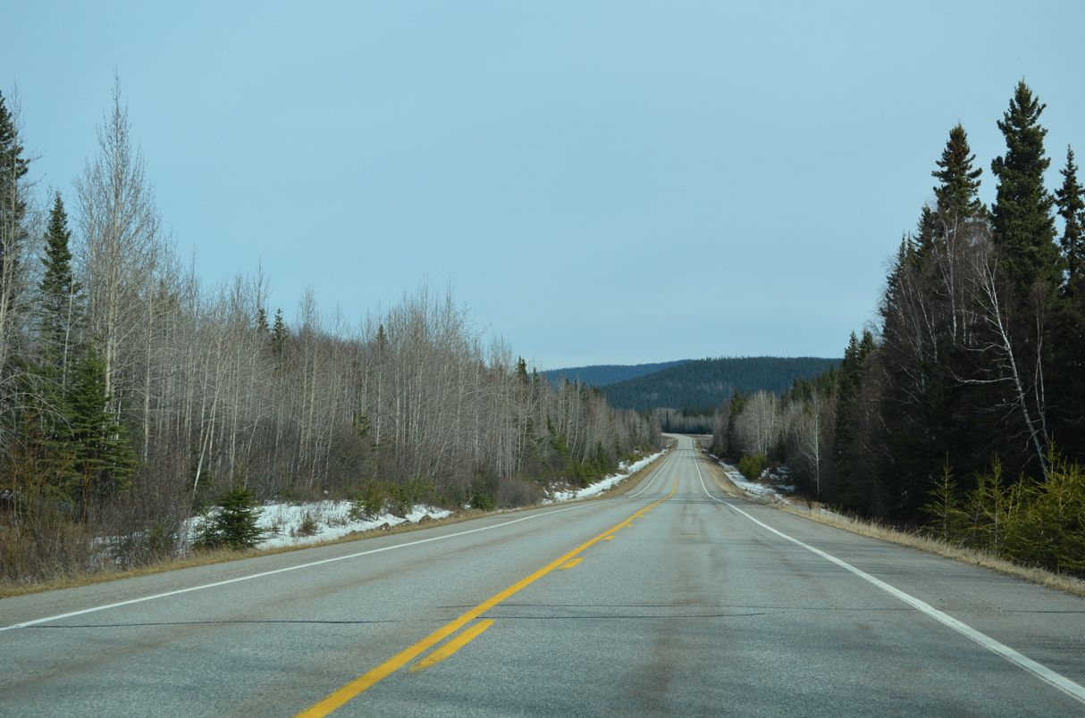
West from Tanacross, SR 2 (Alaska Highway) advances to the Alaska Range.
05/08/23
05/08/23
05/08/23
05/08/23
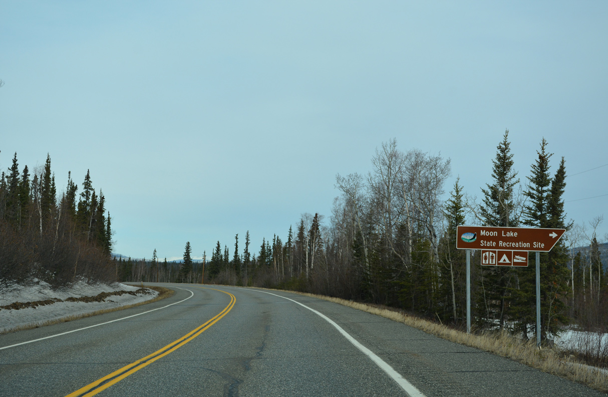
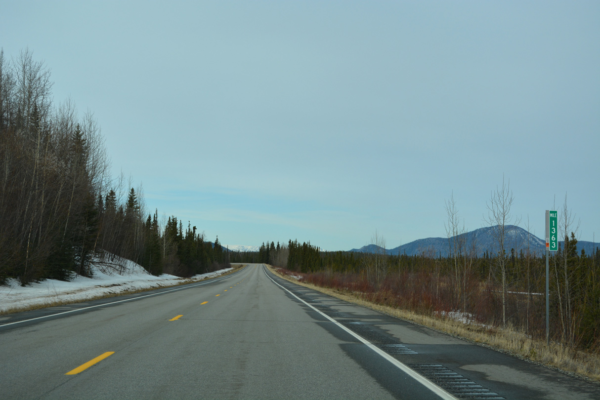
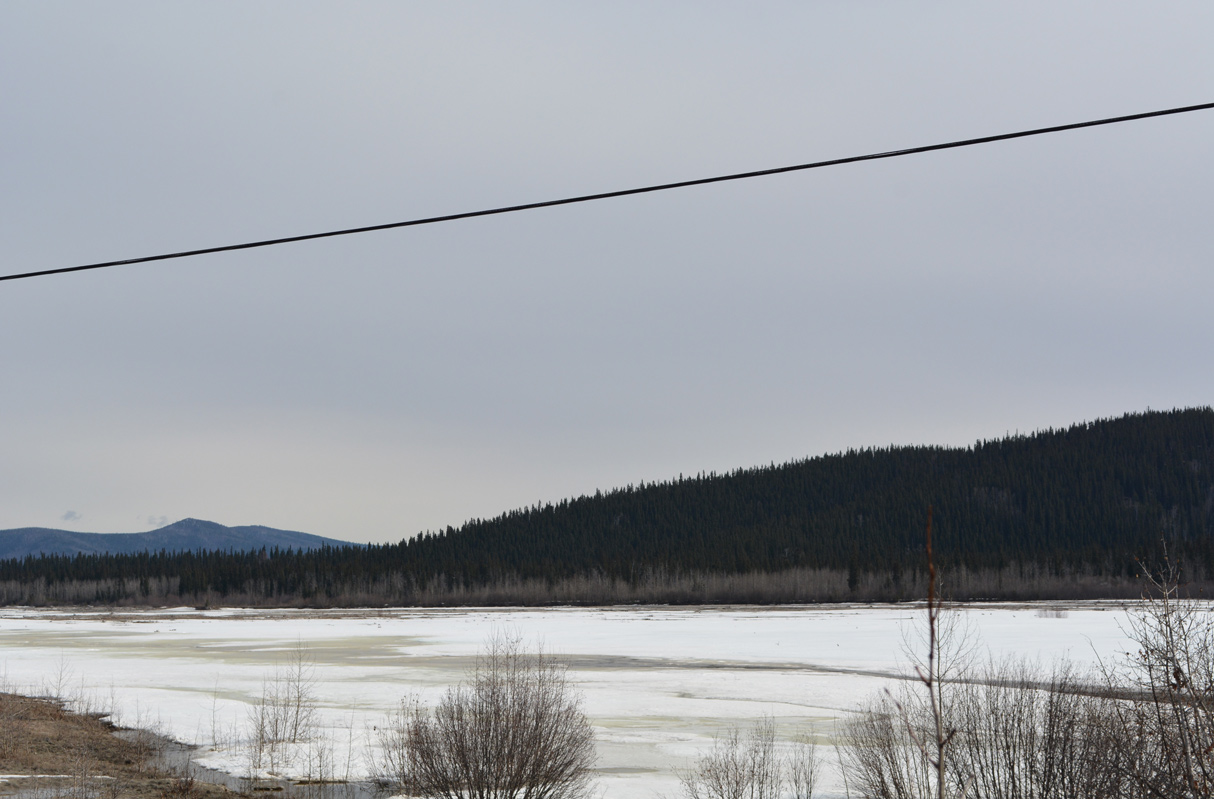
Moon Lake State Recreation Site lies north off SR 2 near Alaska Highway milepost 1332.
05/08/23
05/08/23
05/08/23
05/08/23
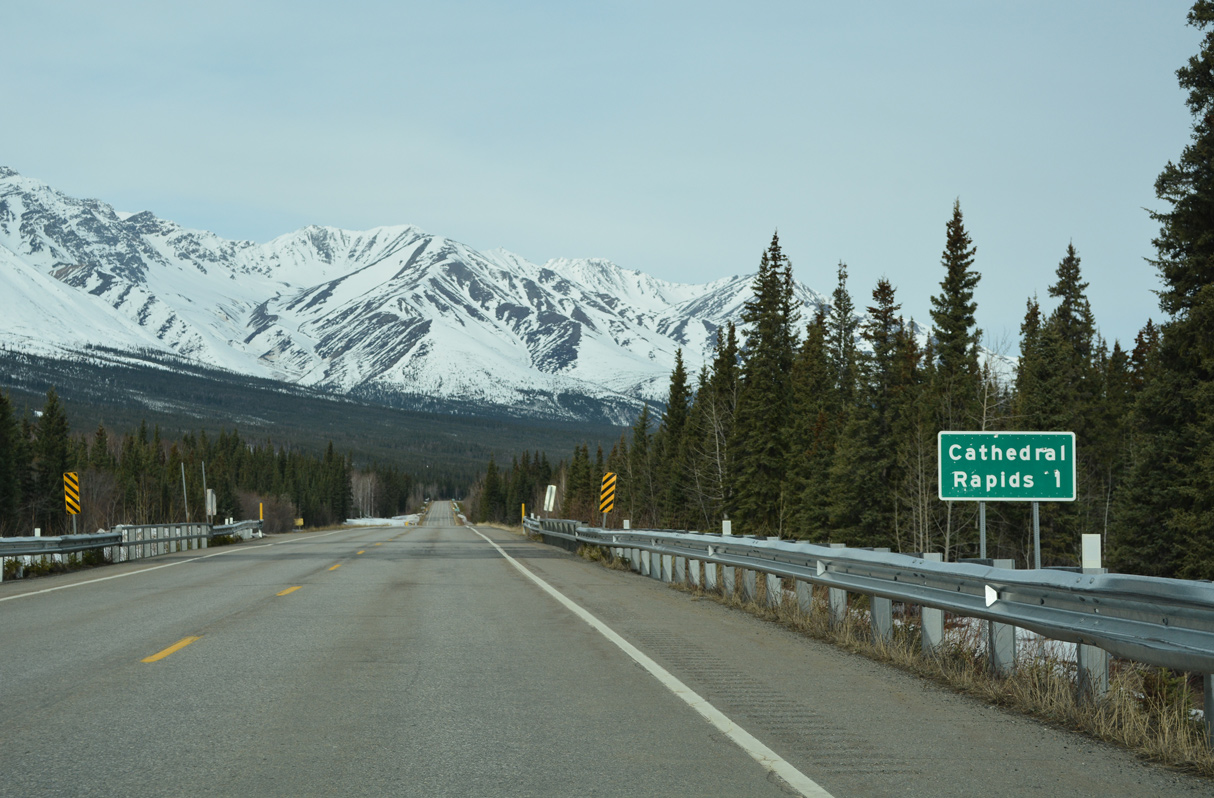
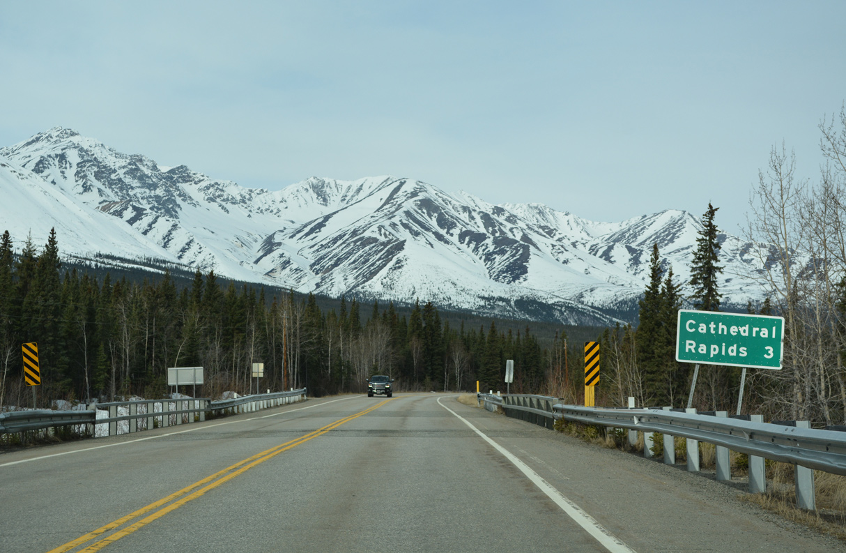
Cathedral Rapids Creek Numbers 1, 2 and 3 flow north into the Tanana River at the Cathedral Rapids.
05/08/23
05/08/23

05/08/23
05/08/23
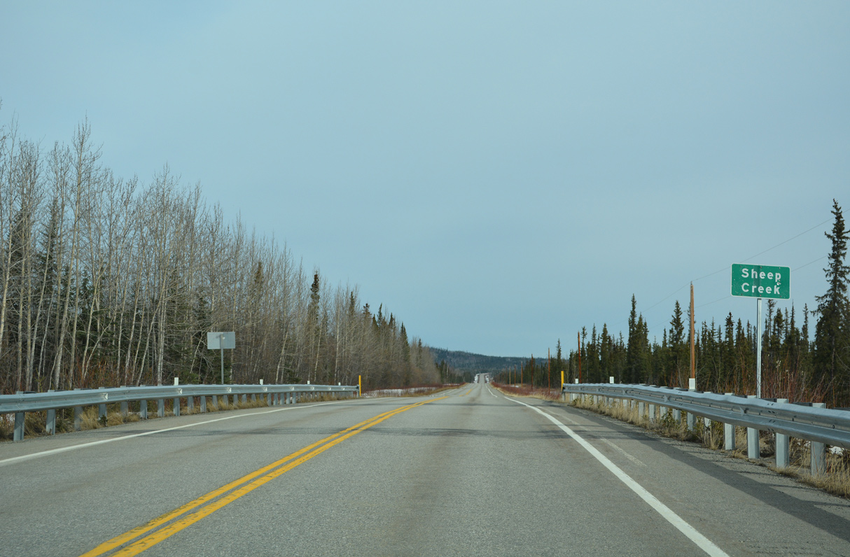
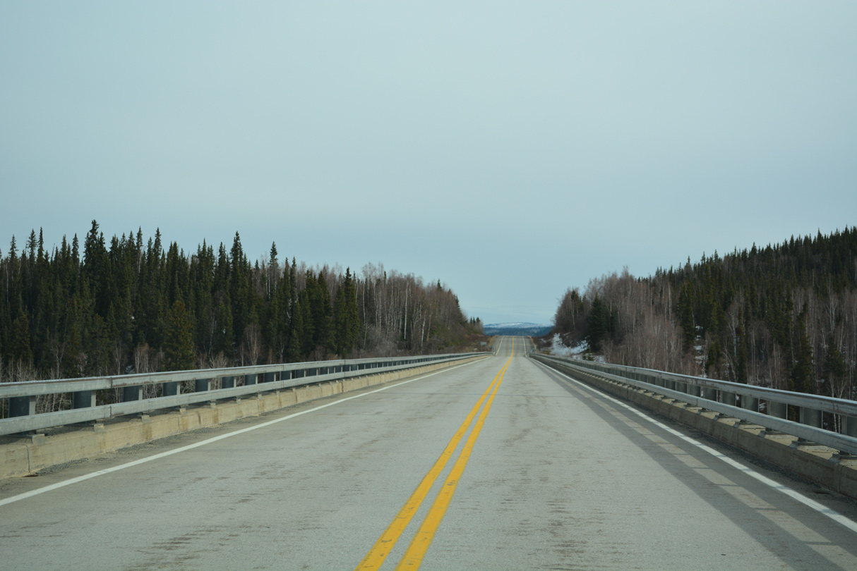
Turning north from Cathedral Rapids, SR 2 remains along the Tanana River and next crosses Sheep Creek.
05/08/23
05/08/23
05/08/23
05/08/23
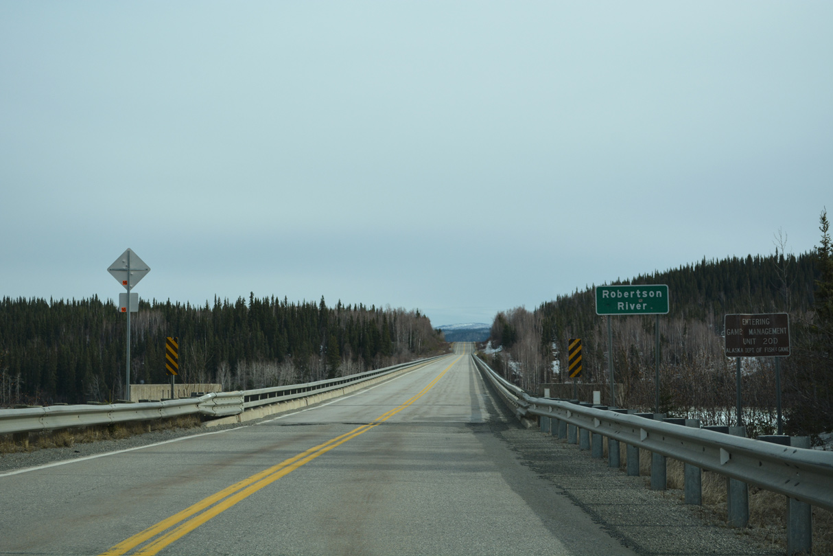
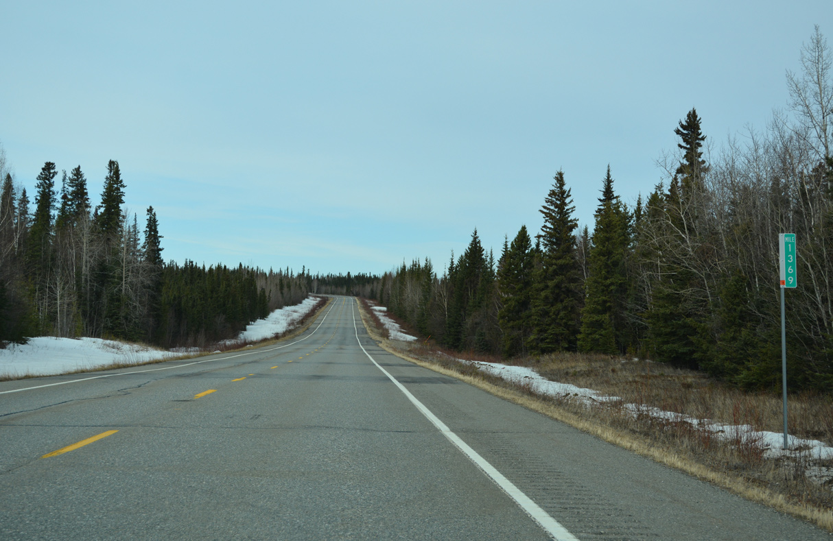
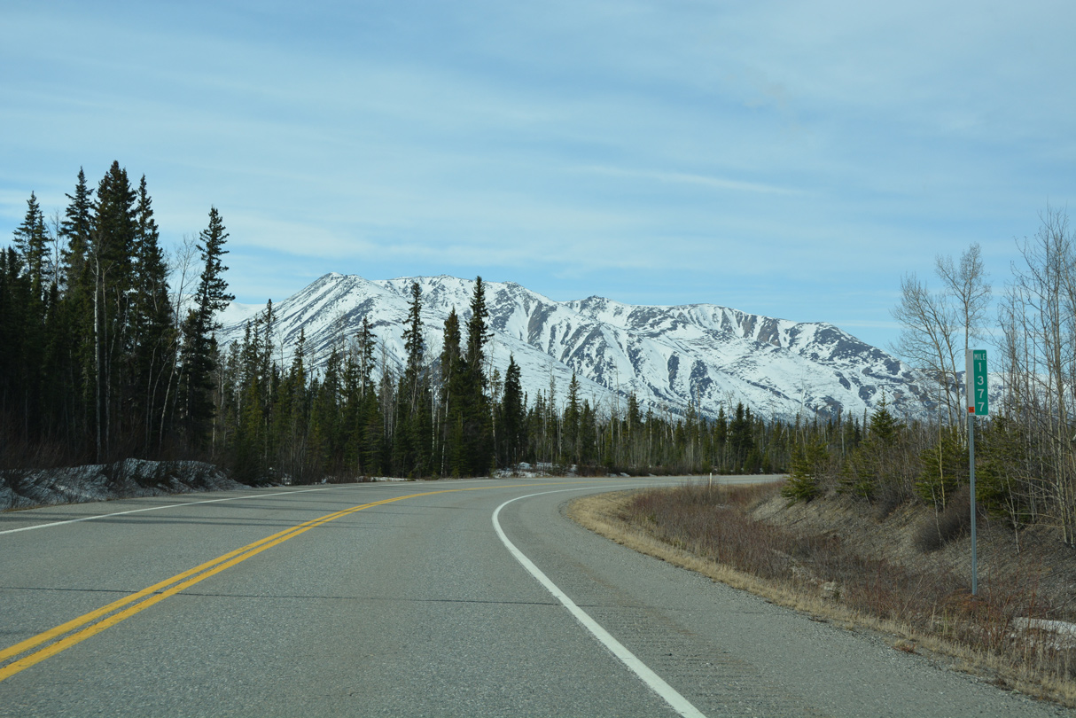
Alaska Highway crosses the Robertson River north of mile marker 1347.
05/08/23
05/08/23
The Robertson River flows east into the Tanana River across from the Tower Bluffs.
05/08/23
05/08/23
The deck truss bridge taking SR 2 across the Robertson River is 1,980 feet in length.1
05/08/23
05/08/23
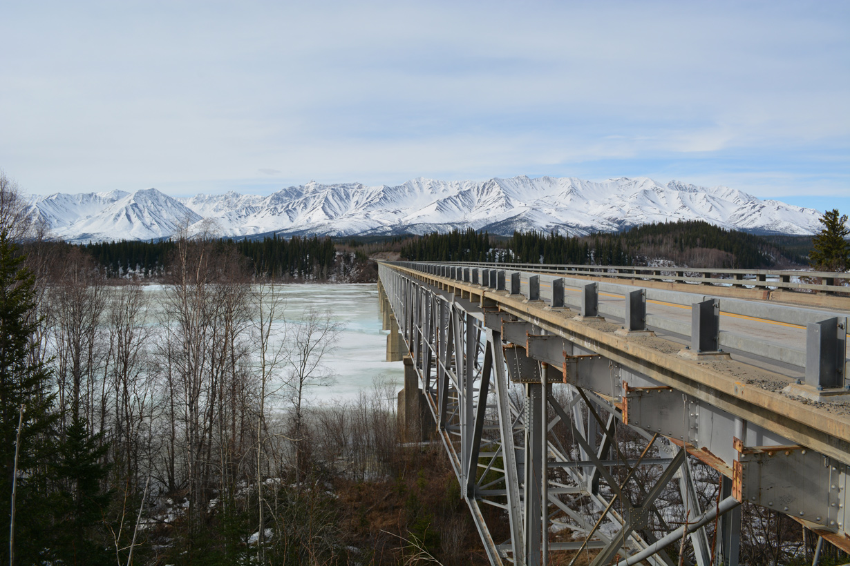
The Robertson River span was built in 1944.1
05/08/23
05/08/23
05/08/23

05/08/23
05/08/23
05/08/23
05/08/23
05/08/23
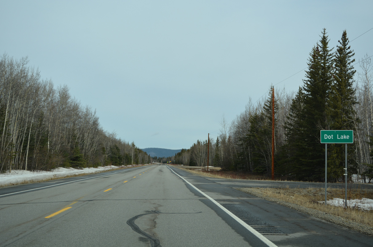
SR 2 (Alaska Highway) north at the census designated place of Dot Lake.
05/08/23
05/08/23

SR 2 navigates through an S-curve along the west side of Dot Lake and associated wetlands.
05/08/23
05/08/23

05/08/23
05/08/23
05/08/23
05/08/23
05/08/23
05/08/23
05/08/23
05/08/23
05/08/23
05/08/23
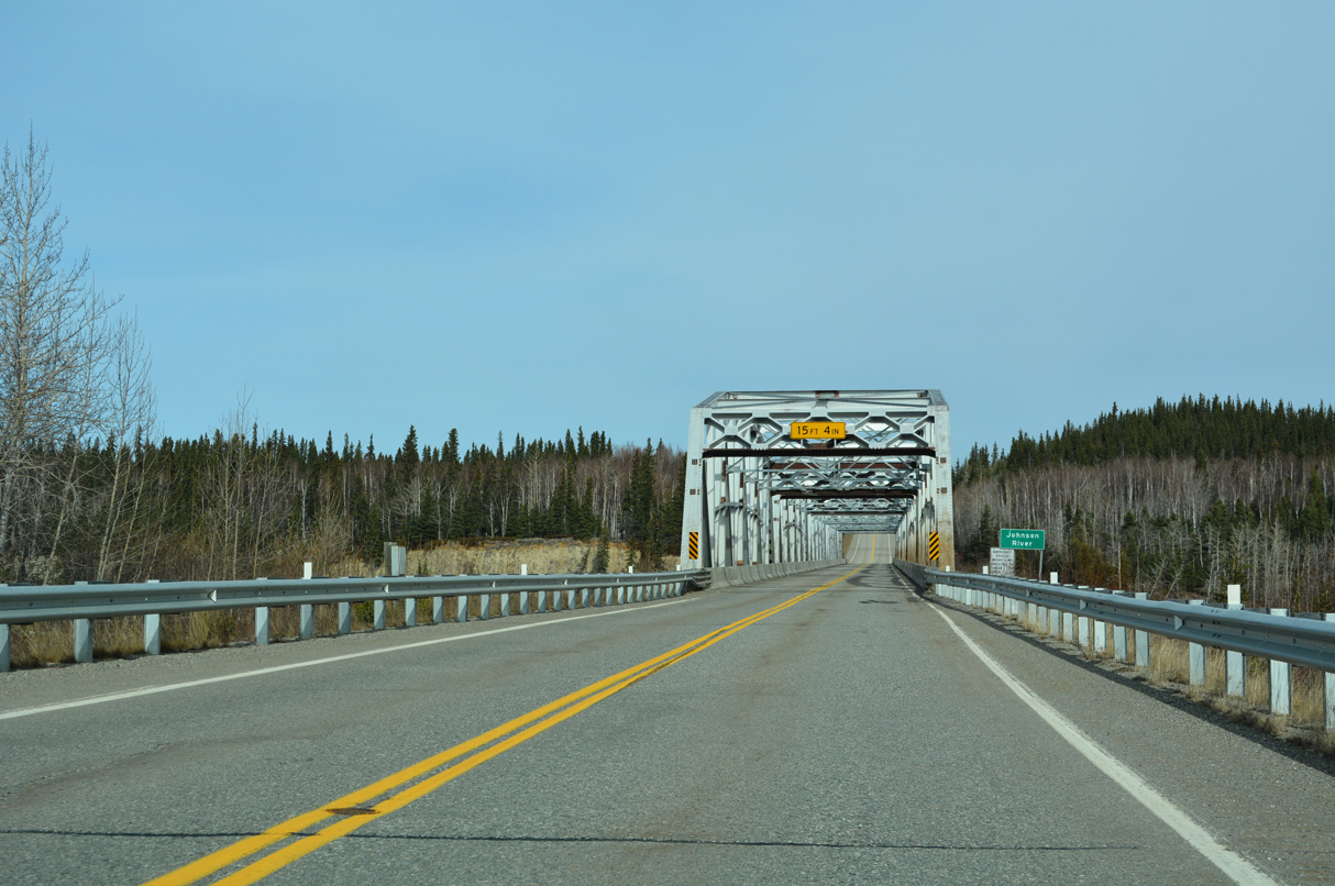
SR 2 (Alaska Highway) spans the Johnson River over a warren truss bridge built in 1943/44.2
05/08/23
05/08/23
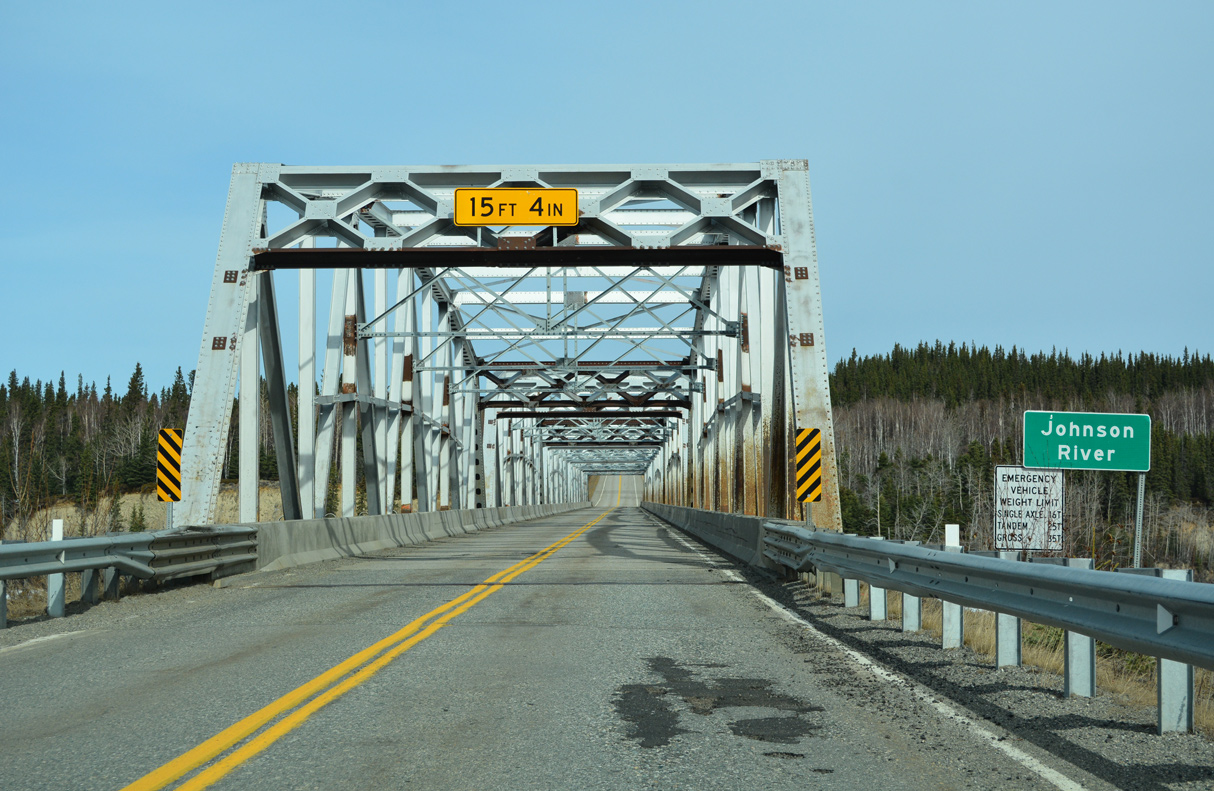
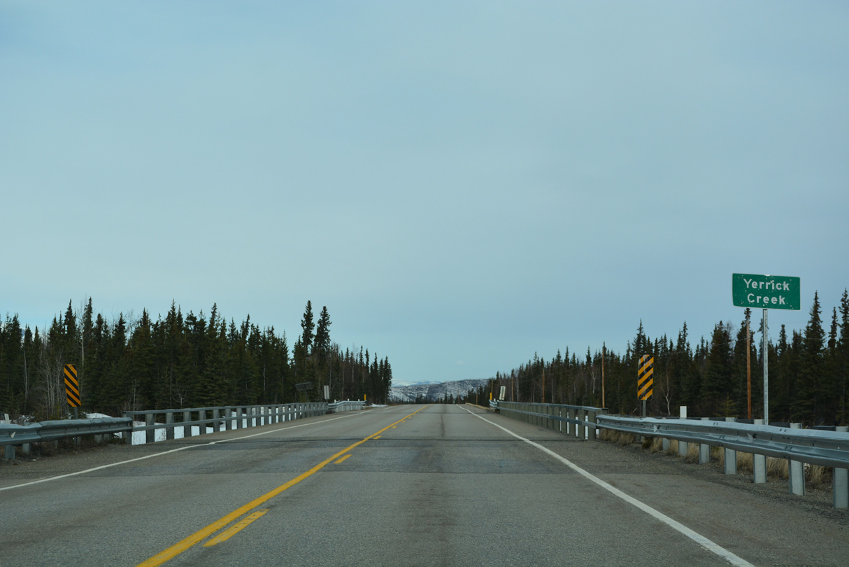
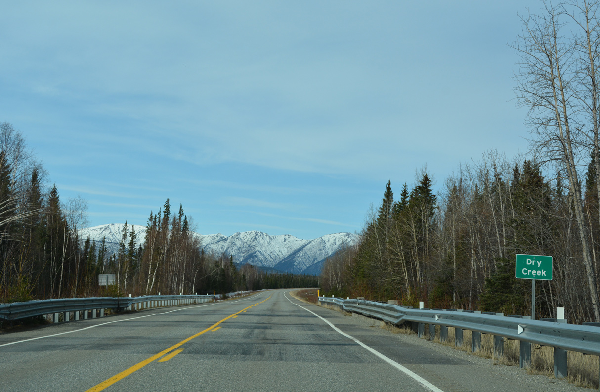
Crossing the Johnson River, Alaska Highway north leaves the Dry Creek census designated area. Construction replacing the truss bridge is anticipated from Spring 2024 to the end of 2026.2
05/08/23
05/08/23
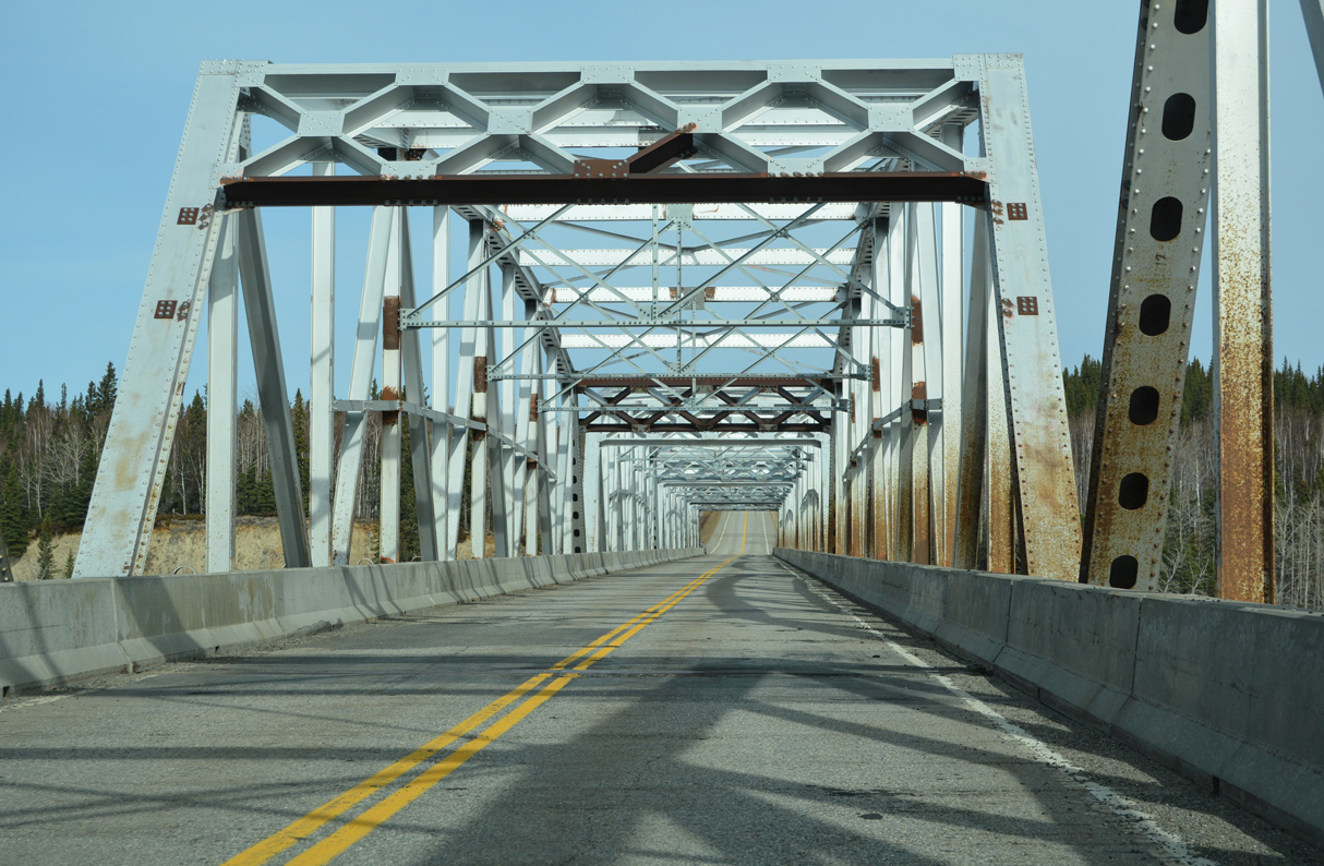
The 974 foot long bridge over the Johnson River consists of one 160 foot long truss span and four 200 foot long prefabricated truss spans. The maximum height for trucks is 15.75 feet due to the portal bracing at each end of the truss.2
05/08/23
05/08/23
05/08/23
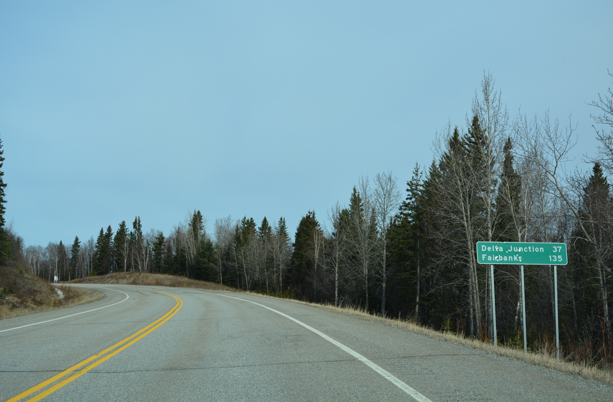
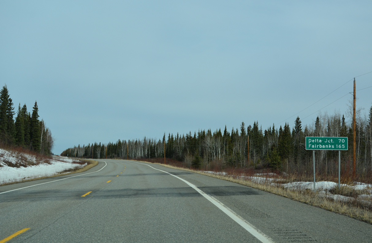
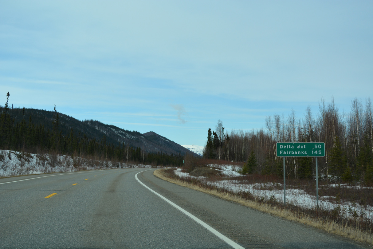
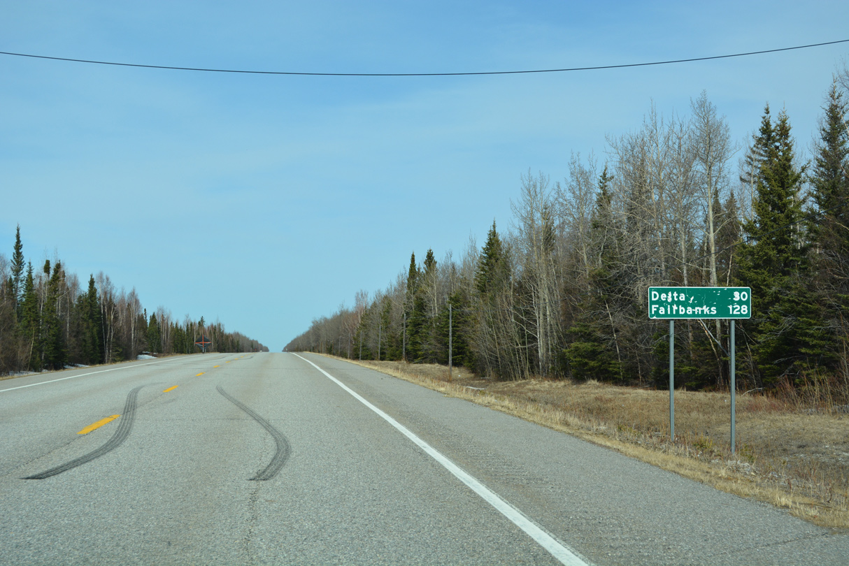
Delta Junction is another 37 miles to the northwest. Downtown Fairbanks is 132 miles away.
05/08/23
05/08/23
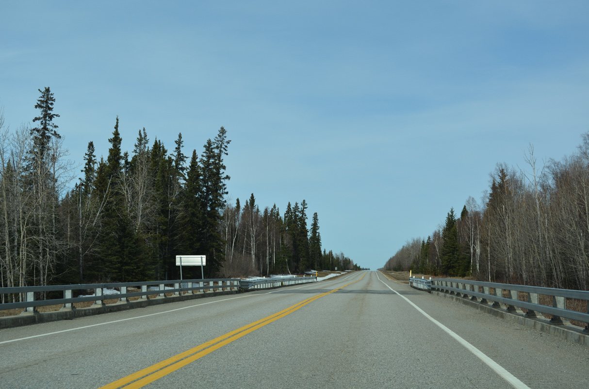
SR 2 (Alaska Highway) north at the Little Gerstle River.
05/08/23
05/08/23
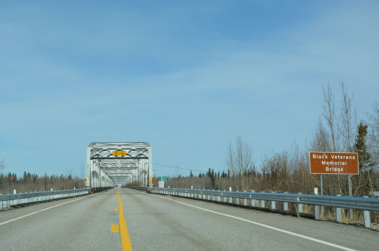
The span taking Alaska Highway across the Gerstle River is the Black Veterans Memorial Bridge.
05/08/23
05/08/23

The SR 2 (Alaska Highway) bridge across the Gerstle River was built in 1944.3
05/08/23
05/08/23

Supporting a 24 foot wide deck, the warren truss bridge over the Gerstle River measures 1,820 feet in length.3
05/08/23
05/08/23
The Gerstle River originates at Gerstle Glacier south of Mount Hajdukovich.
05/08/23
05/08/23
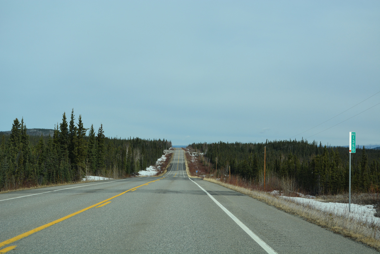
Alaska Highway meets Tower Road 28.5 miles from Delta Junction.
05/08/23
05/08/23
05/08/23
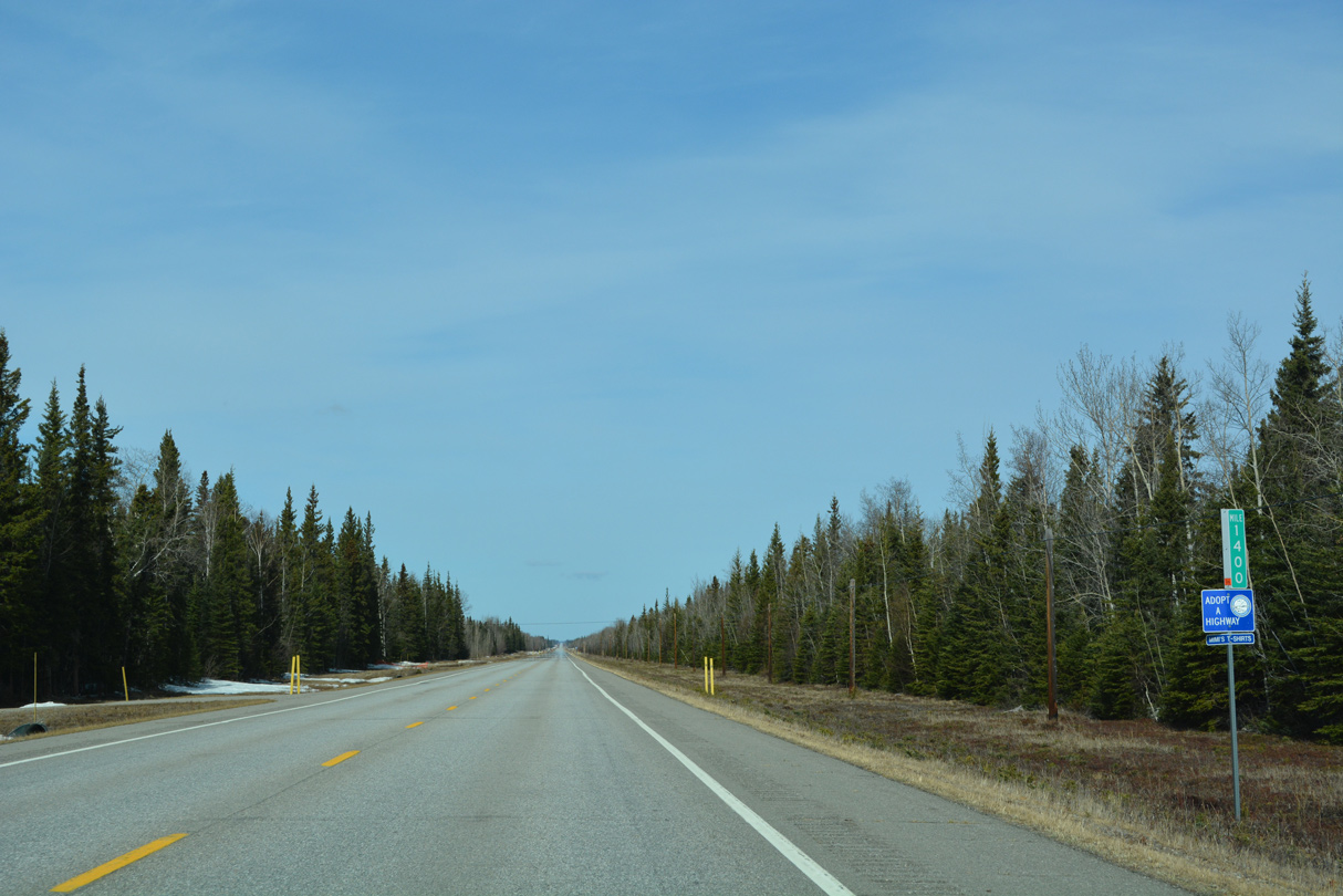
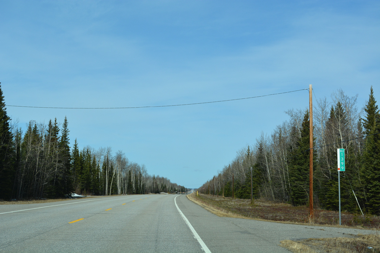
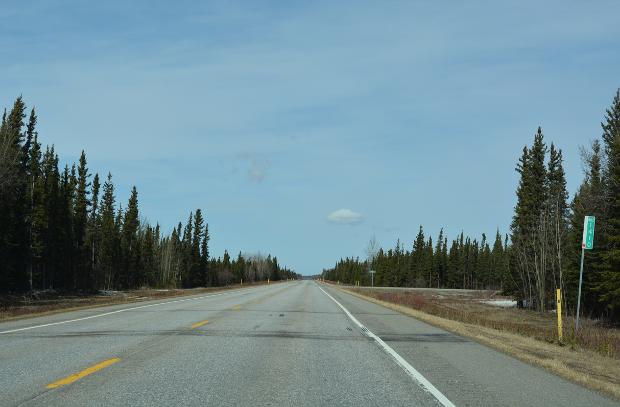
Alaska Highway mile marker 1400
05/08/23
05/08/23

05/08/23
05/08/23
05/08/23

05/08/23
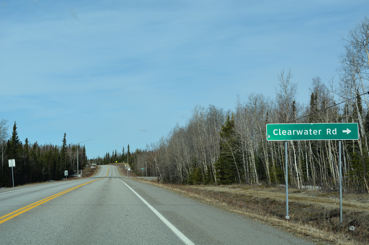
Clearwater Road is a major collector leading 5.35 miles north from SR 2 to Remington Road in the census designated place of Deltana.
05/08/23
05/08/23
05/08/23

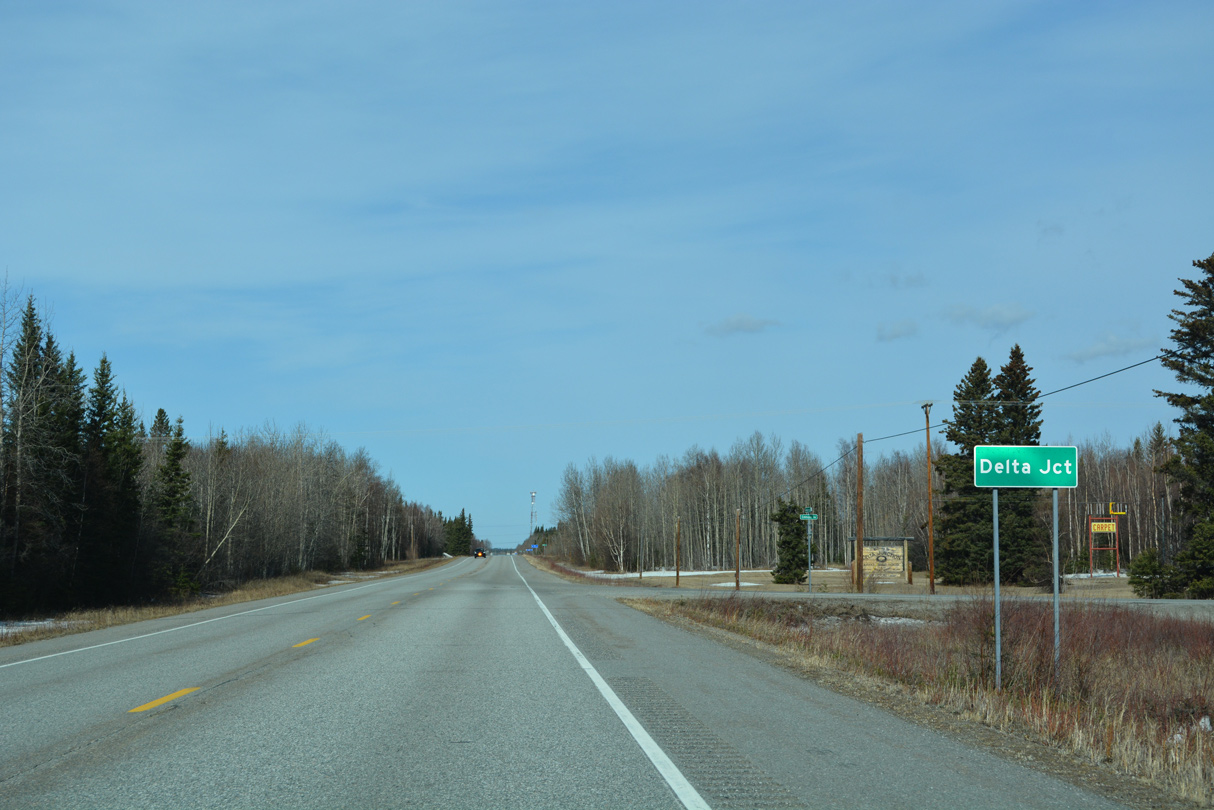
SR 2 (Alaska Highway) bee lines 6.8 miles northwest from Dorshorst Road to SR 4 in Delta Junction.
05/08/23
05/08/23
Alaska Highway north enters Delta Junction at Emmaus Road.
05/08/23
05/08/23

SR 2 (Alaska Highway) converges with the north end of SR 4 at a wye intersection with Richardson Highway. Grizzly Lane links SR 2 northbound with SR 4 south.
05/08/23
05/08/23
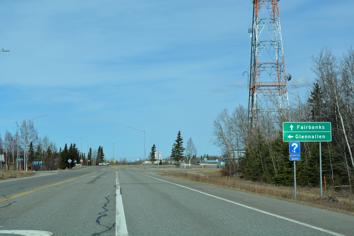
SR 4 travels 151.25 miles south from SR 2 (Alaska Highway) to SR 1 (Glenn Highway) in Glennallen.
05/08/23
05/08/23
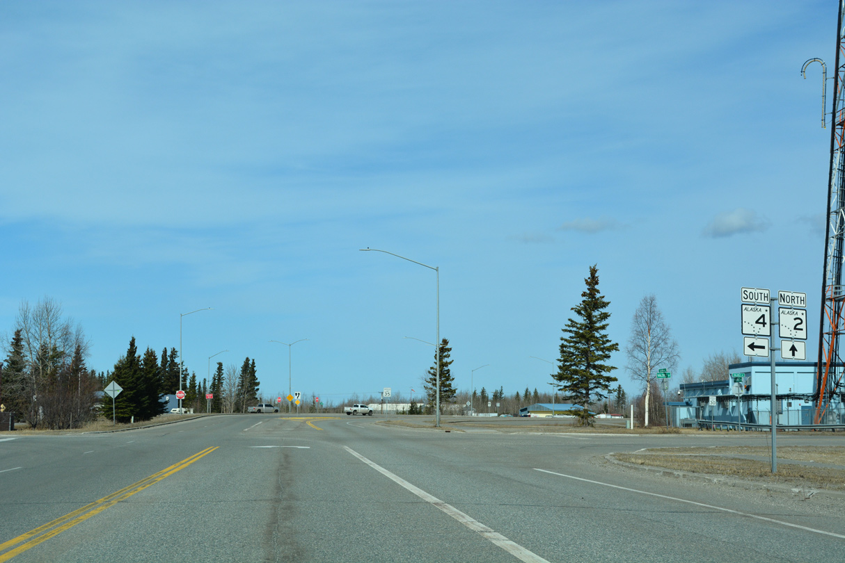
SR 4 (Richardson Highway) extends 268.25 miles south from Delta Junction to Valdez.
05/08/23
05/08/23

References:
- Robertson River Bridge. http://bridgehunter.com/ak/ southeast-fairbanks/509/ BridgeHunter.com.
- Online Open House - Johnson River Bridge Replacement. Alaska Department of Transportation and Public Facilities.
- Gerstle River Bridge. http://bridgehunter.com/ak/ southeast-fairbanks/520/ BridgeHunter.com.
Photo Credits:
- Alex Nitzman: 05/07/23, 05/08/23
Connect with:
Page Updated Wednesday June 14, 2023.