
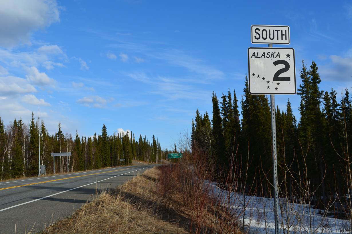
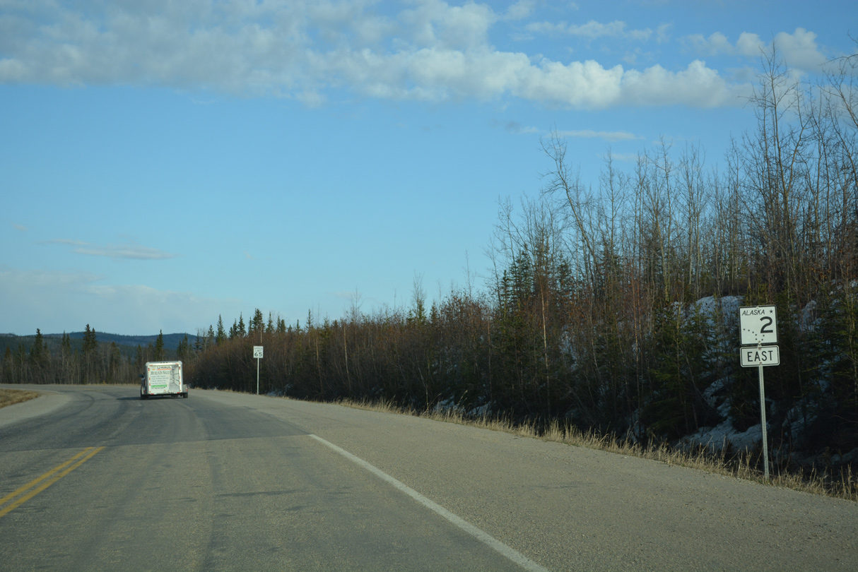
State Route 2 South - Tok to Alcan Border
 South
South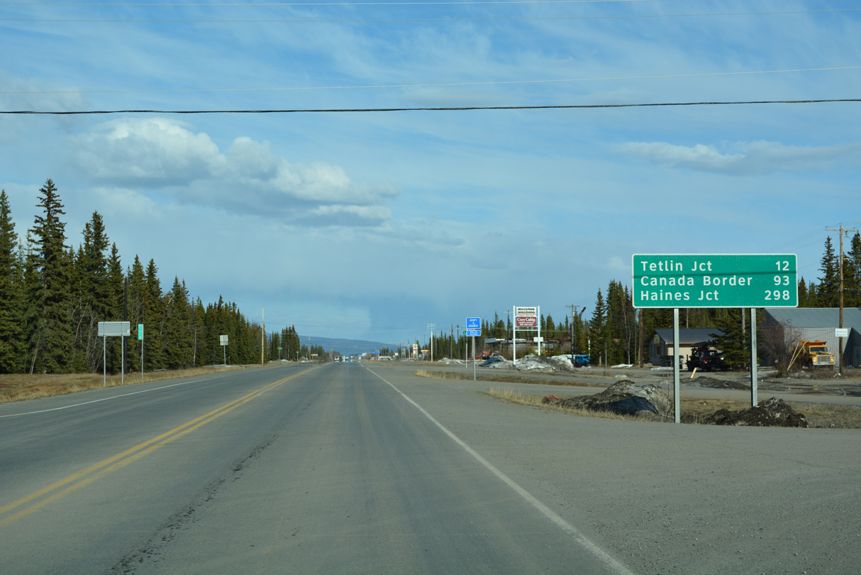
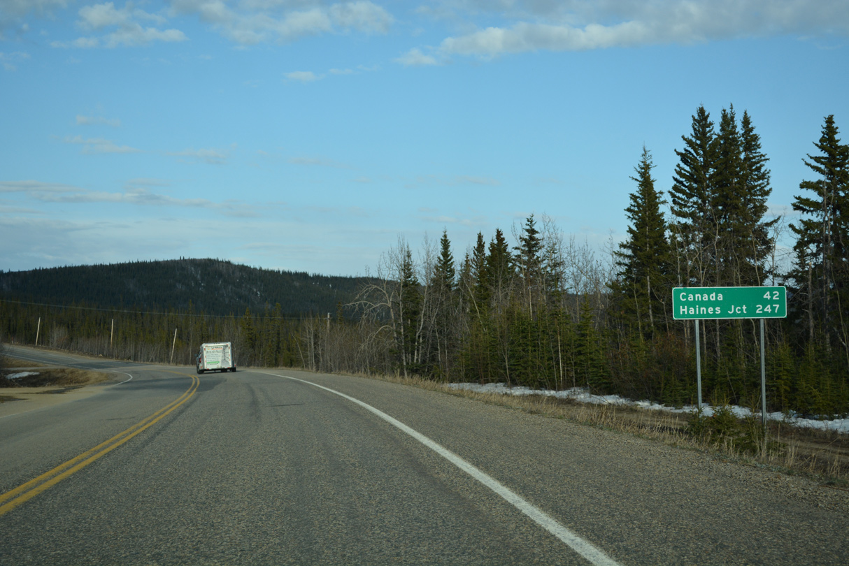
The Canadian border is 89.6 miles southeast from the intersection with SR 1 (Tok Cutoff Highway) at the south end of SR 2. Haines Junction, Yukon is 290 miles away.
05/07/23
05/07/23
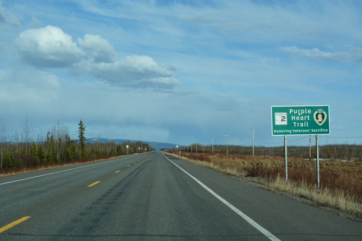
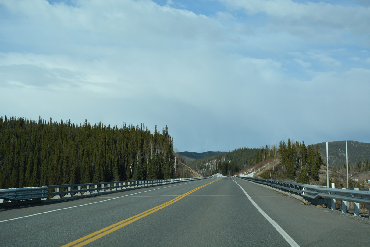
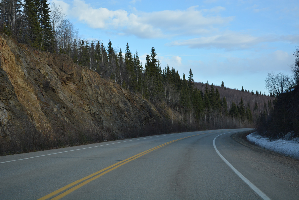
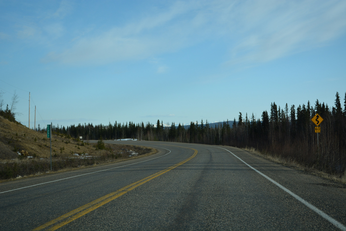
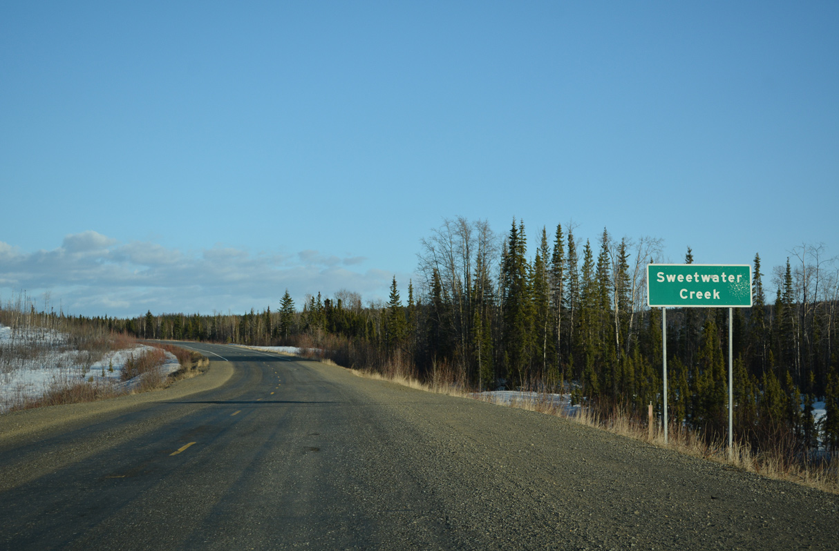
Part of the Purple Heart Trail, SR 2 (Alaska Highway) plies across wet land areas east from Tok.
05/07/23
05/07/23
05/07/23
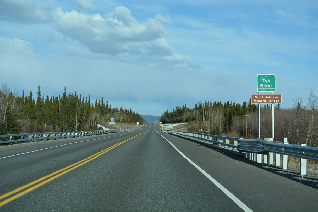
The original truss bridge taking the Alaska Highway over the Tok River was replaced as part of a $9.9 million project. Built between 1943 and 1944, demolition work on the old span commenced October 26, 2018. The new bridge was completed by October 2019.¹
05/07/23
05/07/23
05/07/23
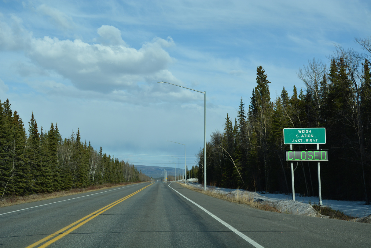
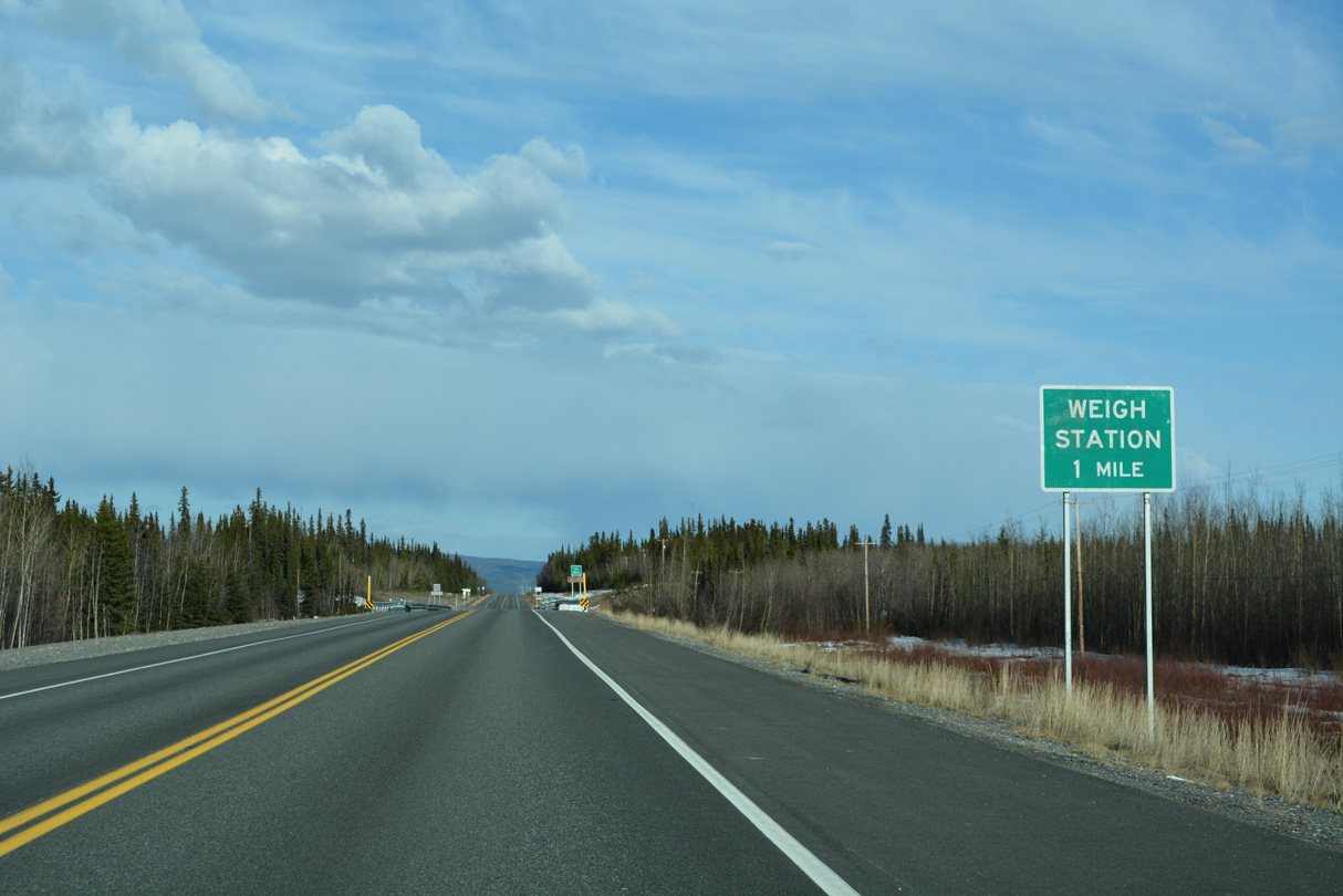
A weigh station lines the south side of Alaska Highway ahead of milepost 1308.
05/07/23
05/07/23
05/07/23
A $33.4 million project underway from April 2009 to July 2011 replaced the Alaska Highway truss bridge spanning the Tanana River. One mile of SR 2 was realigned and a new wayside was added as part of construction.²
05/07/23
05/07/23
Built by the U.S. army during construction of the Alaska Highway in 1943/44, Tanana River Bridge No. 505 was located 225 feet upstream from the new span.³
05/07/23
05/07/23
946 feet in length, the previous crossing of the Tanana River was demolished on March 2, 2011. 12 feet wider than the original, the replacement along SR 2 is a 903 foot long girder-style bridge.³
05/07/23
05/07/23
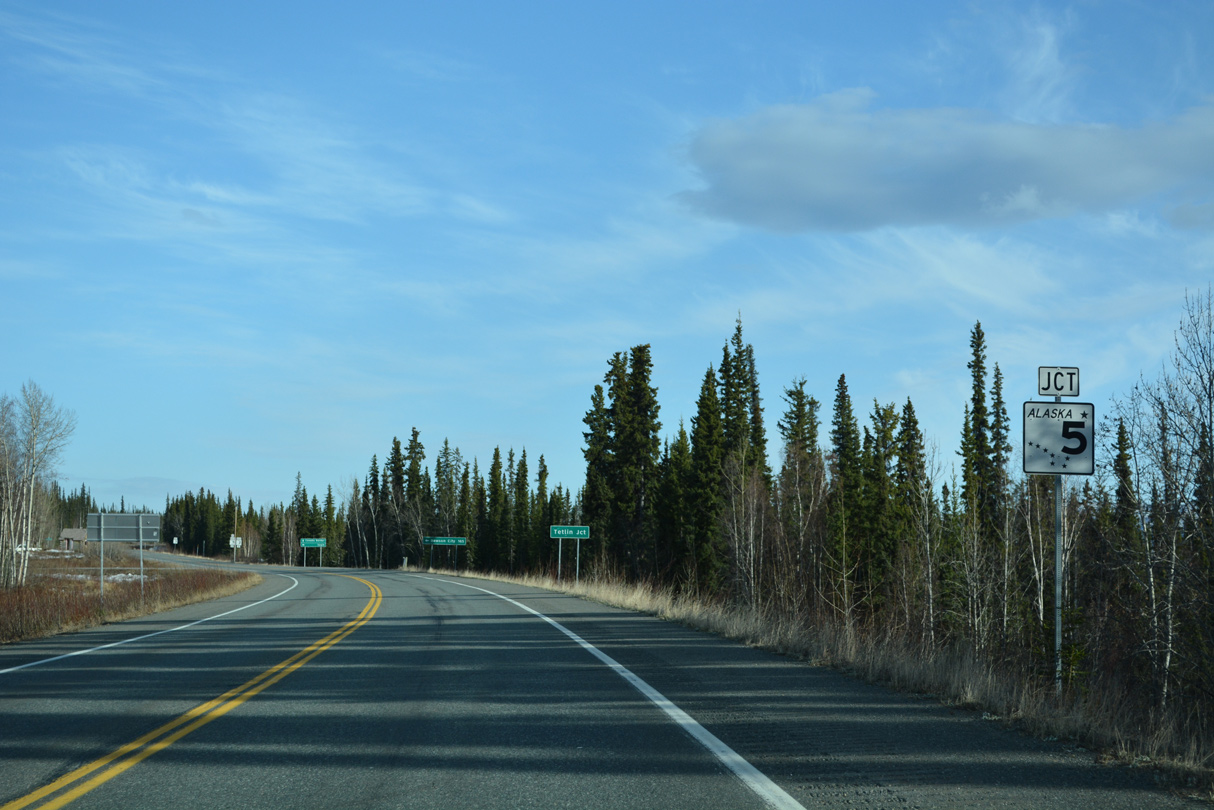
Curving southward, SR 2 (Alaska Highway) next meets the south end of SR 5 (Taylor Highway).
05/07/23
05/07/23
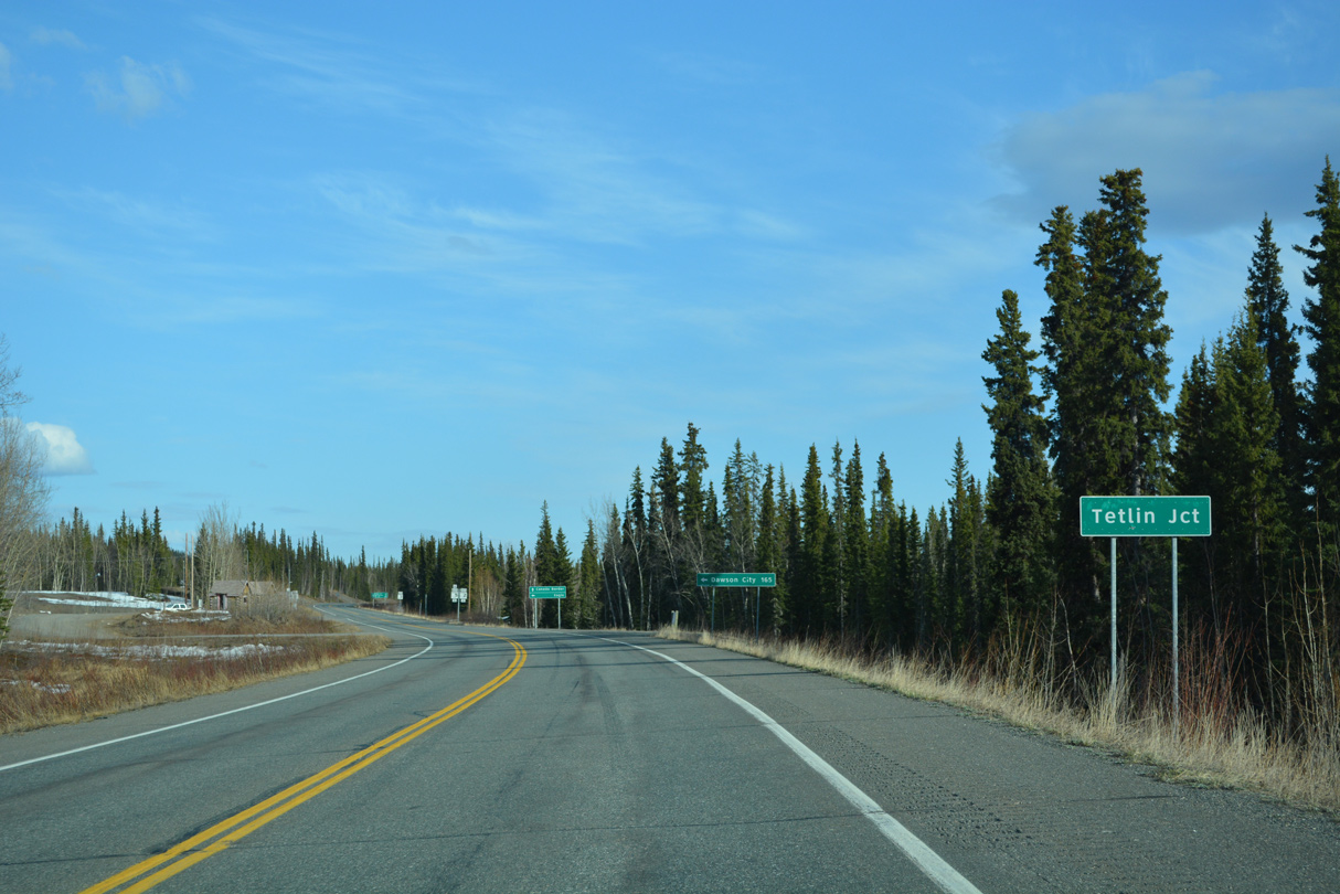
The intersection joining SR 2/5 is Tetlin Junction.
05/07/23
05/07/23
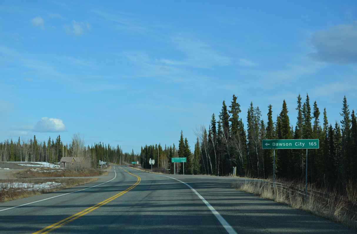
SR 5 (Taylor Highway) north to Top of the World Highway east leads 172 miles to the ferry crossing the Yukon River to Dawson City, Yukon.
05/07/23
05/07/23
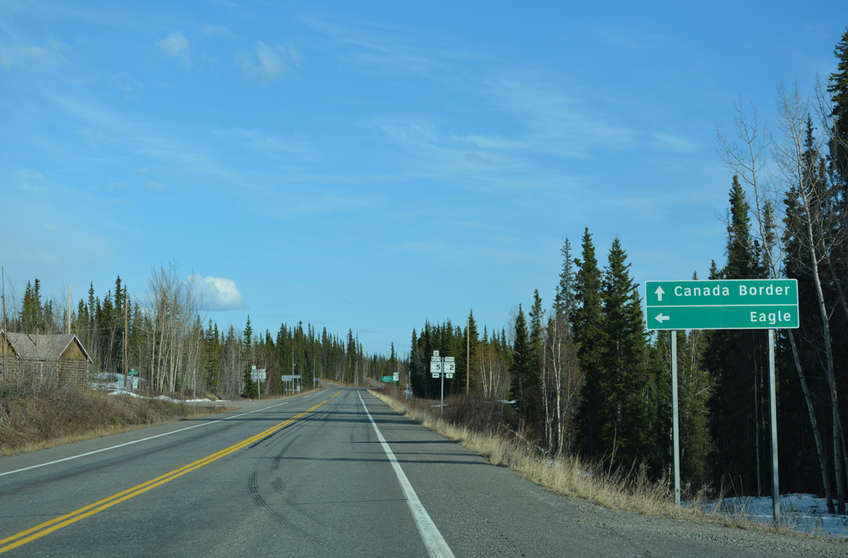
Eagle lies at the north end of SR 5 (Taylor Highway).
05/07/23
05/07/23
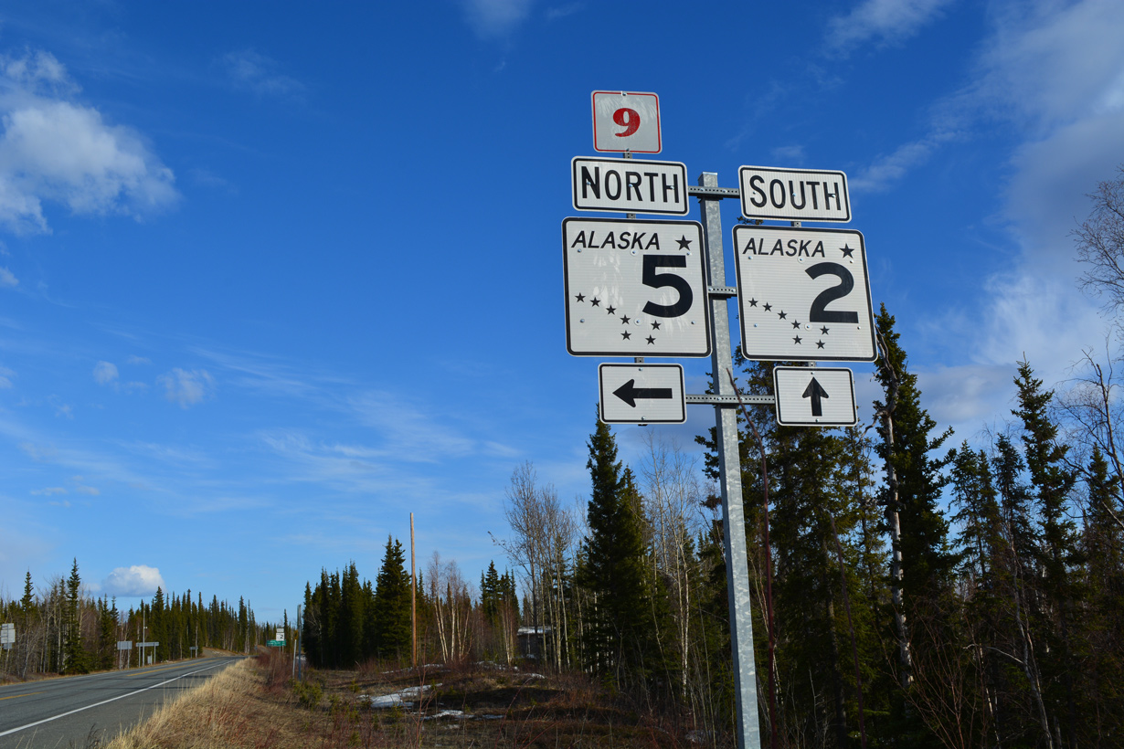
State Route 5 measures 157.17 miles in length. Top of the World Highway is Yukon Highway 9.
05/07/23
05/07/23
05/07/23
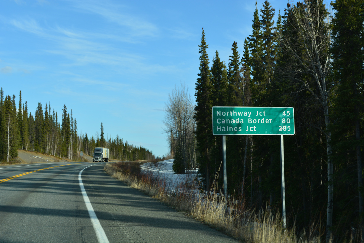
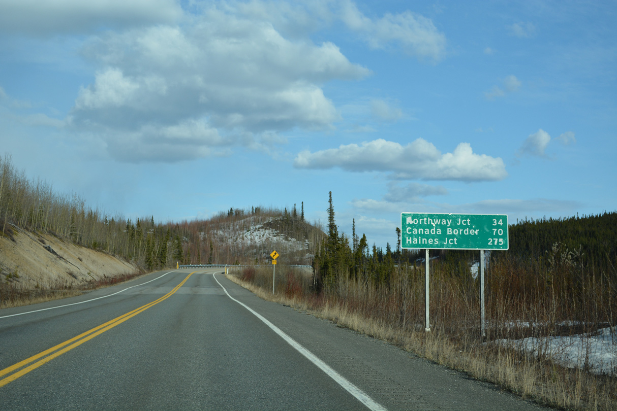
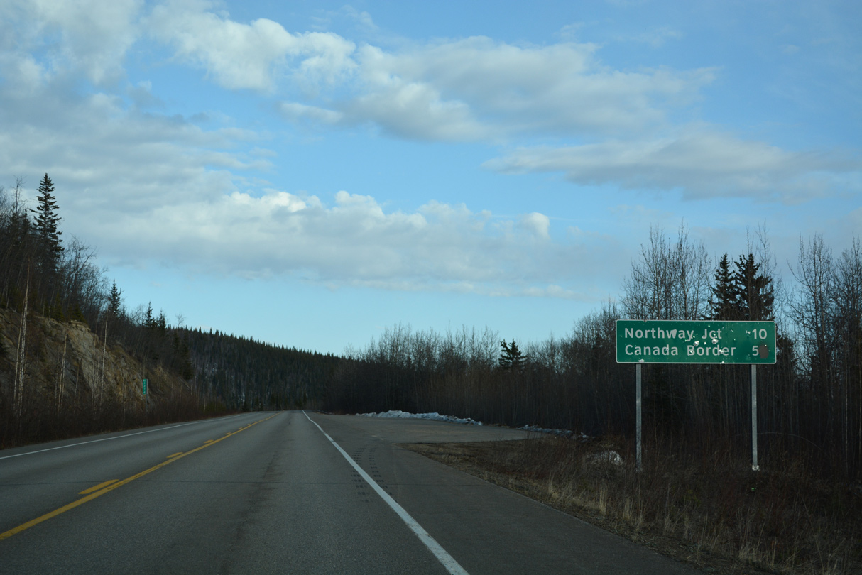
Northway Junction is 36 miles southeast of Tetlin Junction. The Canadian border is 77 miles away.
05/07/23
05/07/23

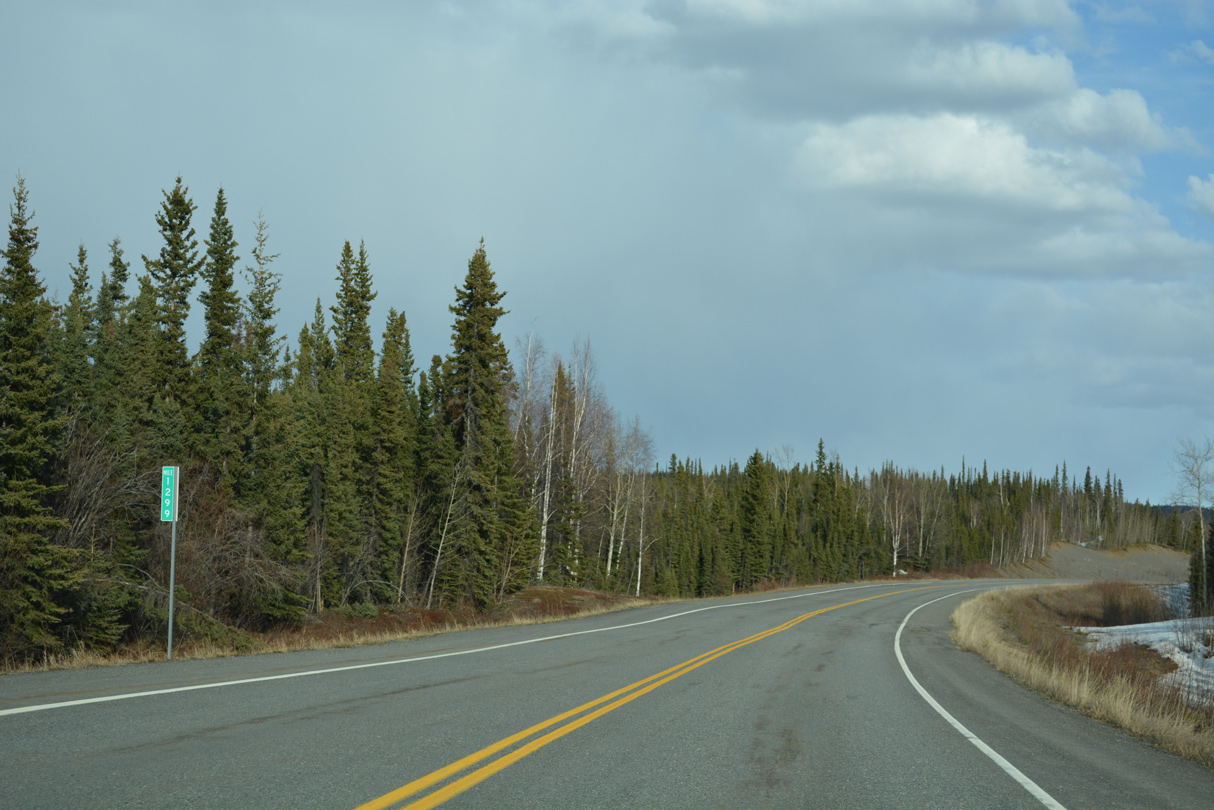
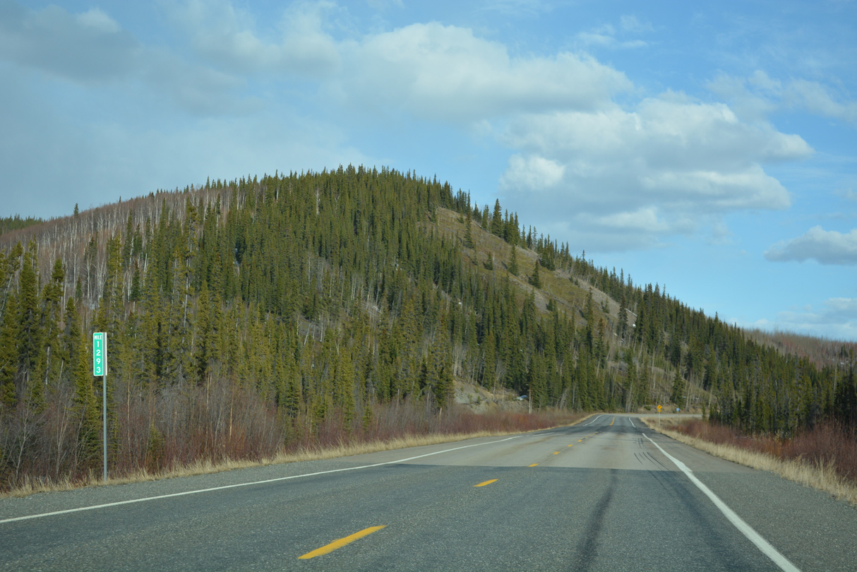
Alaska Highway mile marker 1300
05/07/23
05/07/23
05/07/23
05/07/23

05/07/23
05/07/23
05/07/23
05/07/23
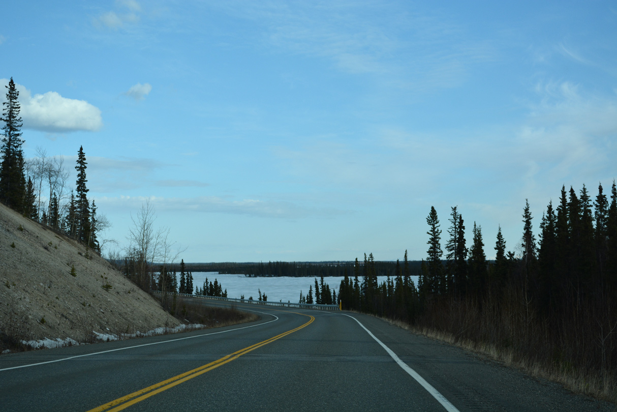
Midway Lake comes into view south of Alaska Highway between mile markers 1290 and 1289.
05/07/23
05/07/23
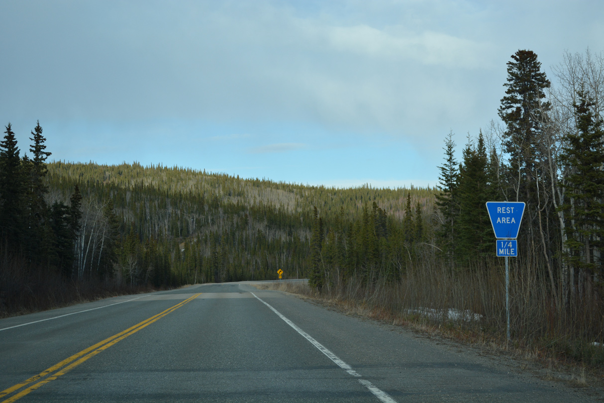
A rest area lies next to Midway Lake by Alaska Highway milepost 1289.
05/07/23
05/07/23
05/07/23
05/07/23

05/07/23
Alaska Highway south ahead of Bitters Creek.
05/07/23
05/07/23
05/07/23
Distance sign posted at Alaska Highway milepost 1274.
05/07/23
05/07/23

05/07/23

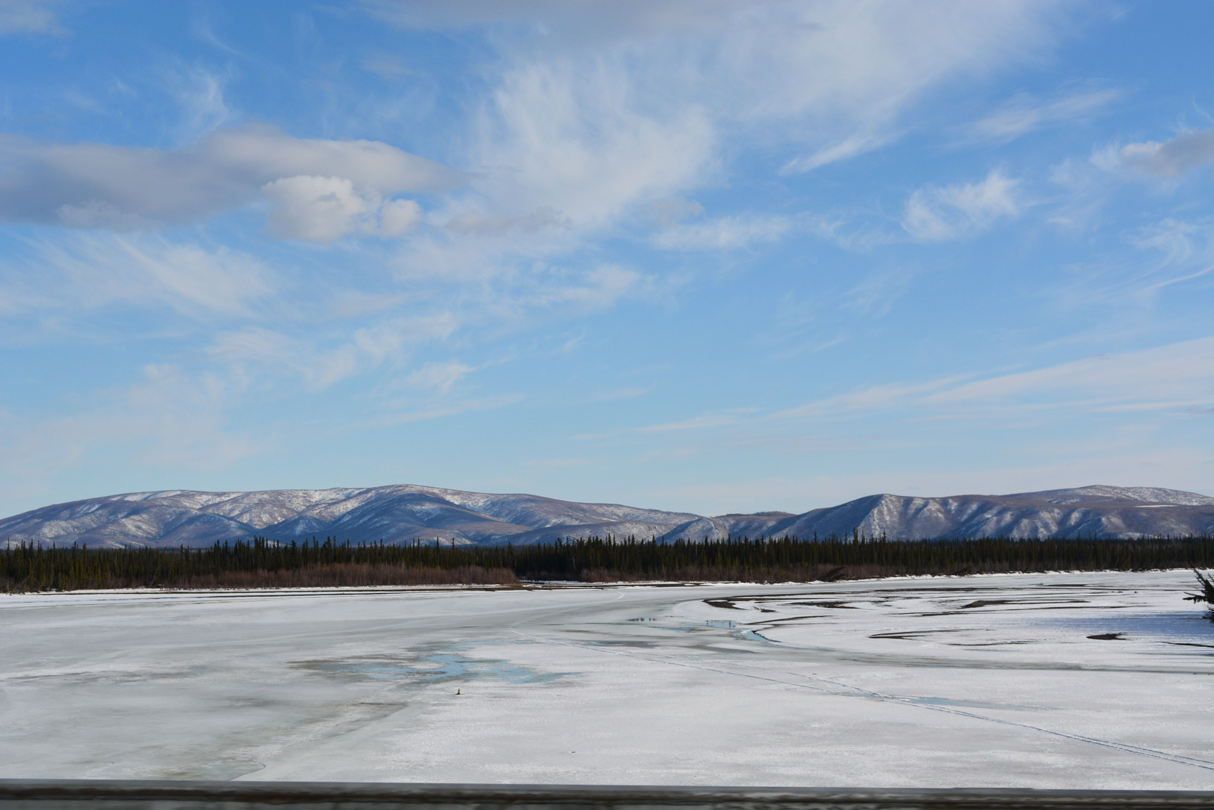
The Tanana River reappears along Alaska Highway south of mile marker 1270.
05/07/23
05/07/23
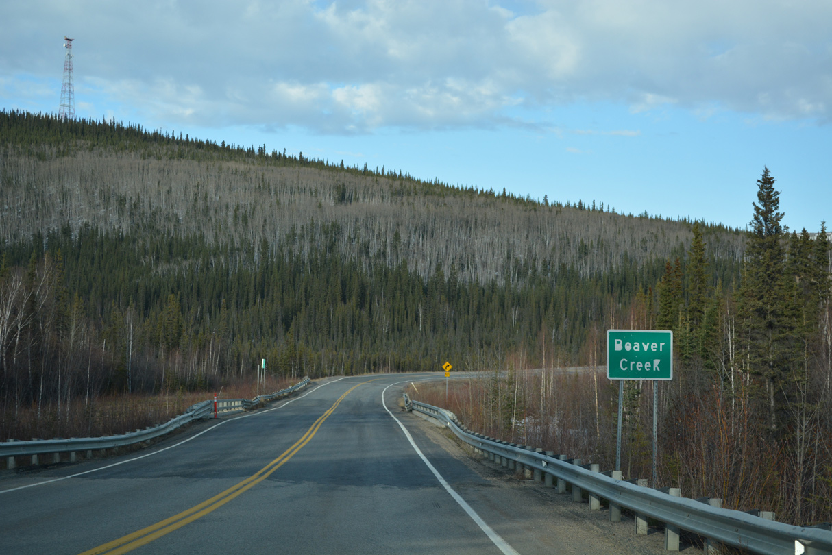
SR 2 (Alaska Highway) crosses Beaver Creek at milepost 1268.
05/07/23
05/07/23
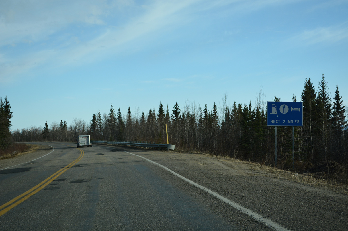
The first traveler services along Alaska Highway since Tok are at Northway Junction.
05/07/23
05/07/23
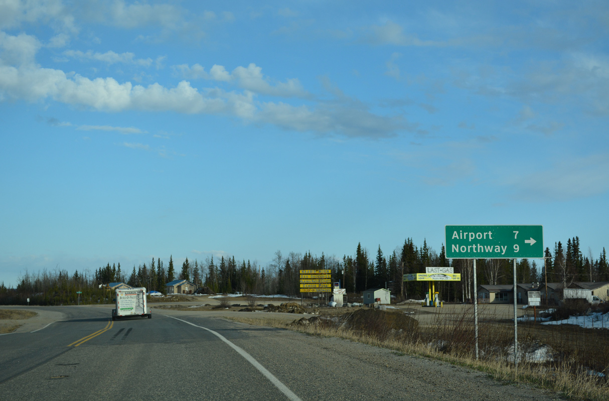
Northway Road spurs 9.06 miles southwest from SR 2 (Alaska Highway) to Northway Airport (ORT) and Northway Village.
05/07/23
05/07/23
Reassurance marker posted south of Northway Road.
05/07/23
05/07/23
The Canadian border is 40.9 miles southeast of Northway Road.
05/07/23
05/07/23
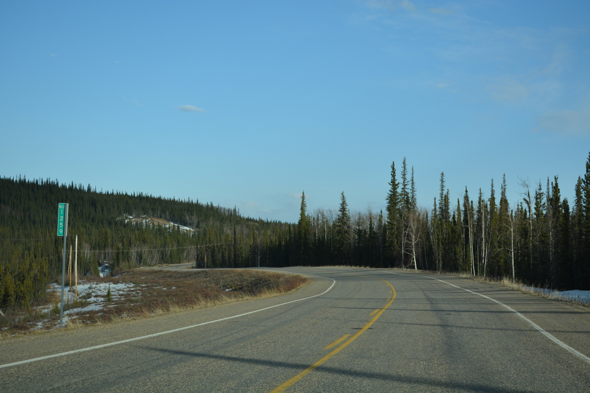
Alaska Highway passes east of Eliza Lake by milepost 1259.
05/07/23
05/07/23
Milepost 1257 is east of Yarger Lake.
05/07/23
05/07/23
05/07/23
05/07/23

05/07/23
05/07/23
05/07/23
05/07/23
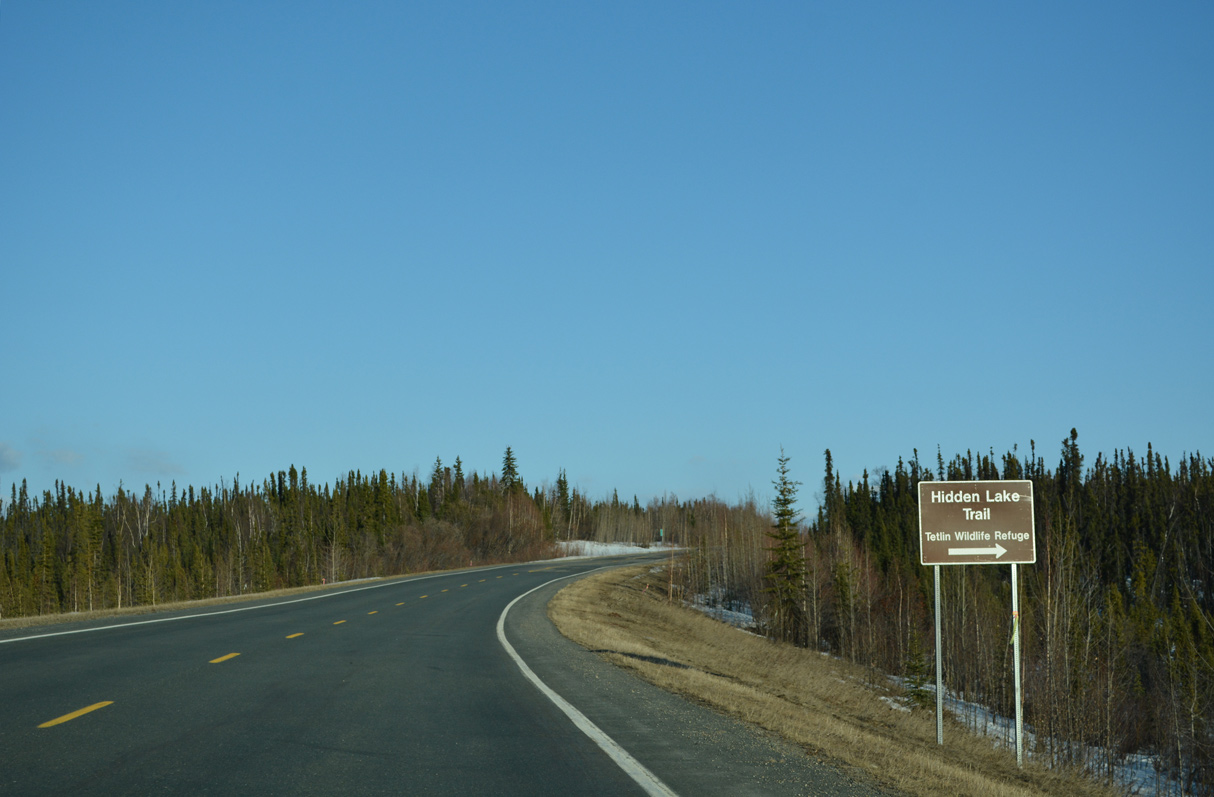
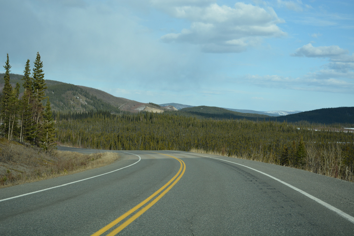
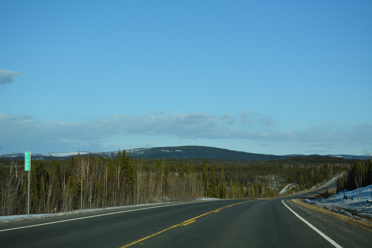
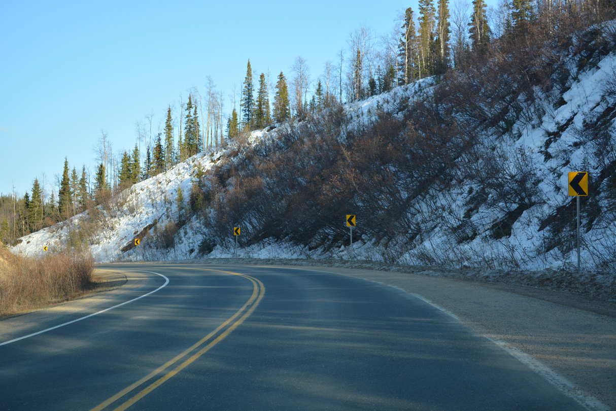
SR 2 (Alaska Highway) south at Hidden Lake Trail and milepost 1240.
05/07/23
05/07/23

05/07/23
05/07/23
05/07/23
05/07/23
05/07/23
05/07/23
05/07/23
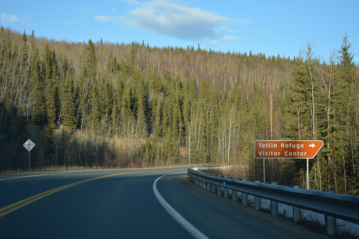
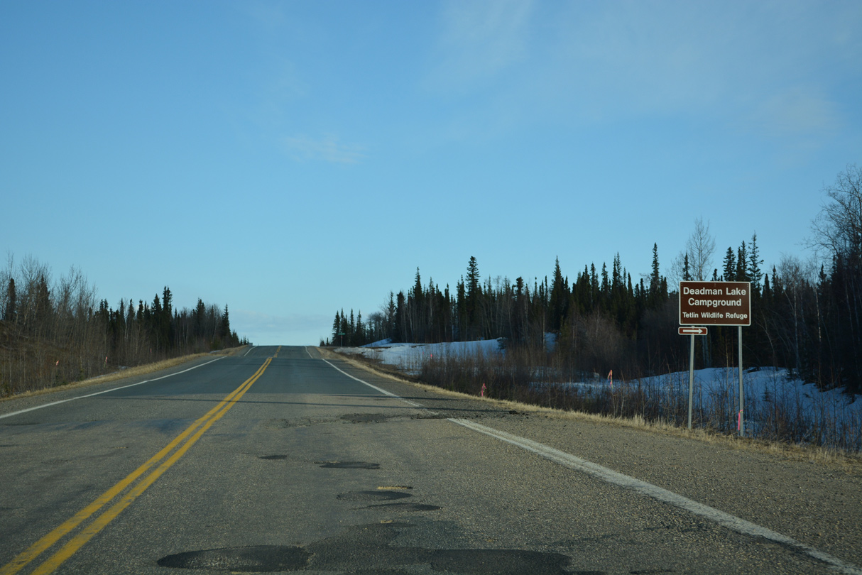
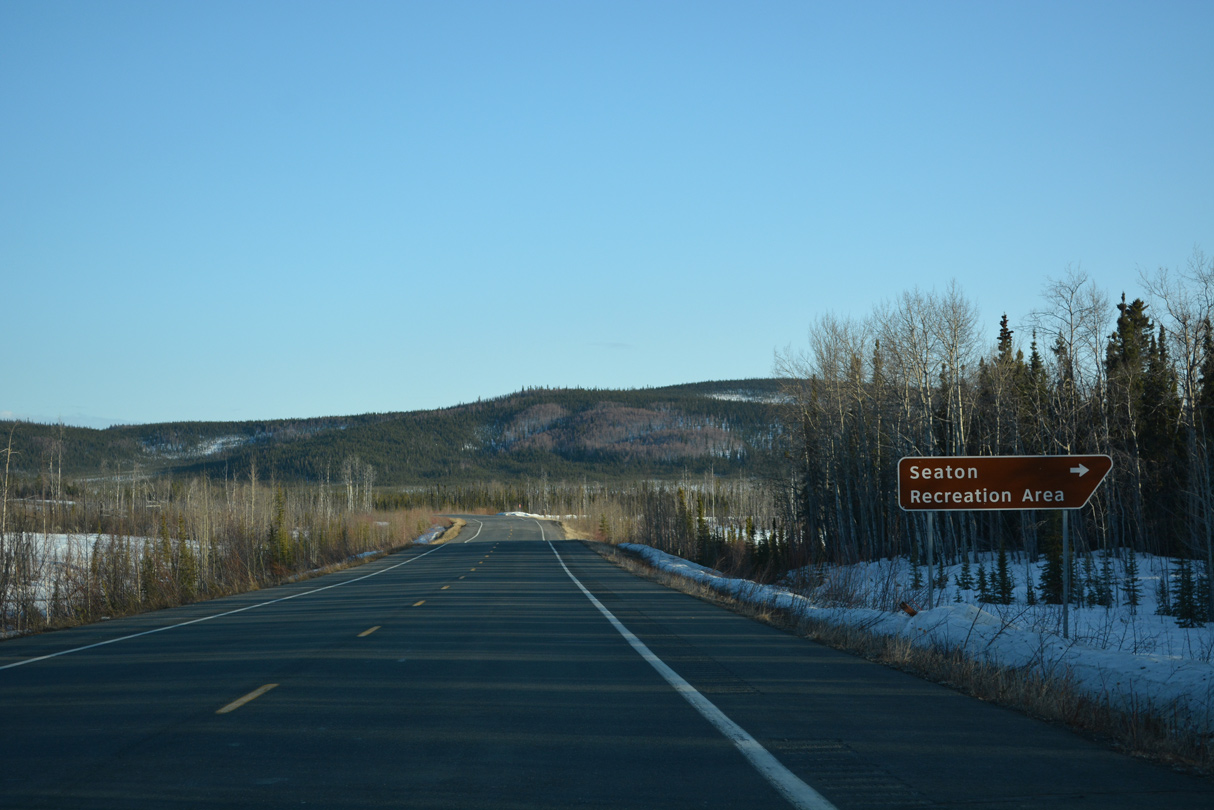
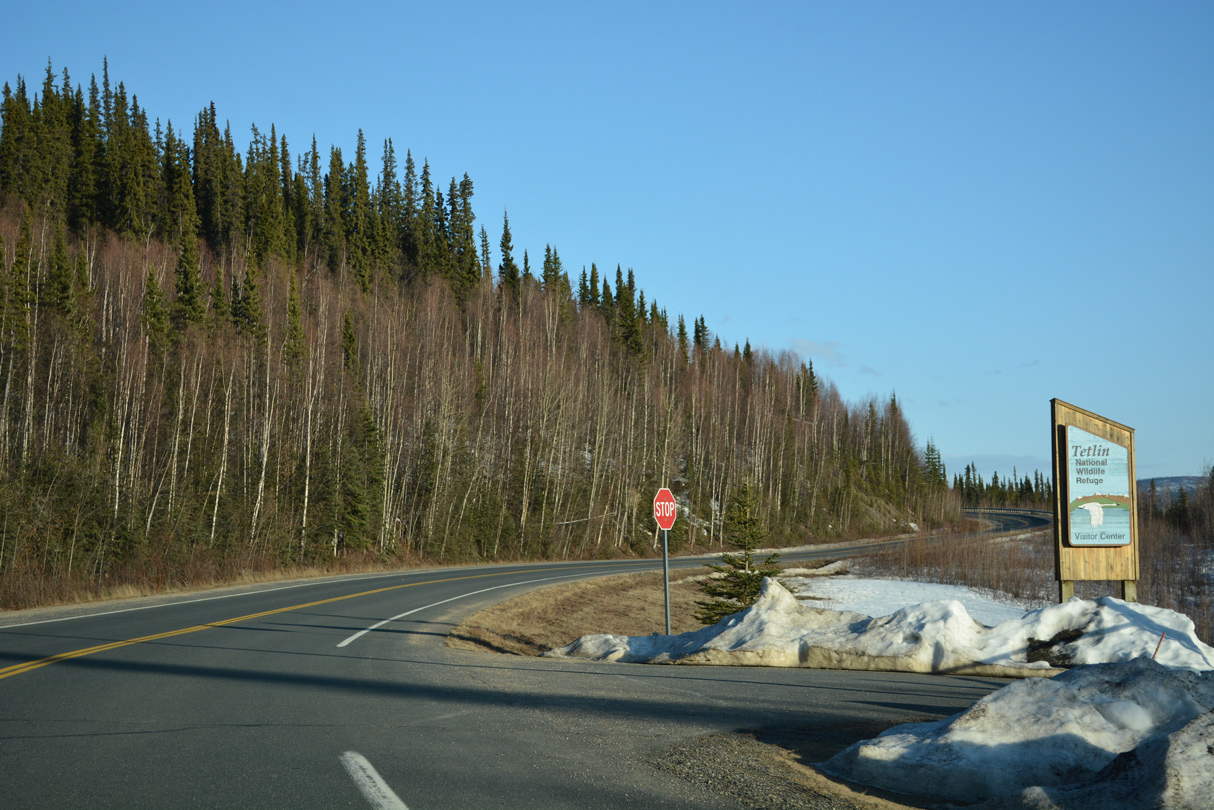
The Tetlin National Wildlife Refuge Visitor Center is located at Alaska Highway mile marker 1229.
05/07/23
05/07/23
05/07/23

05/07/23
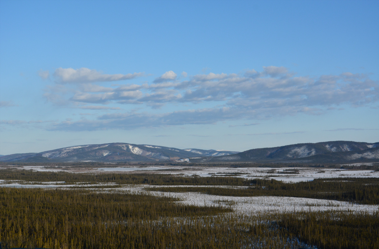
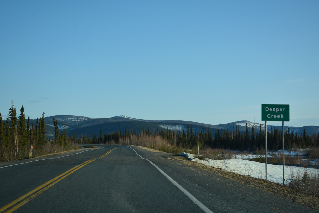
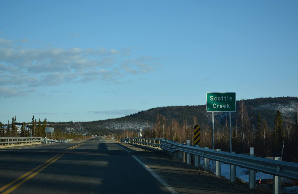
Desper Creek and Scottie Creek flow west toward the Tanana River across a broad valley. Airs Hill rises along the southern horizon.
05/07/23
05/07/23

Border City Lodge represents the last services along SR 2 (Alaska Highway) south ahead of the International border.
05/07/23
05/07/23
SR 2 crosses Desper Creek south just past Border City Lodge.
05/07/23
05/07/23

Alaska Highway traverses areas of wetlands between Desper Creek and Scottie Creek.
05/07/23
05/07/23
05/07/23
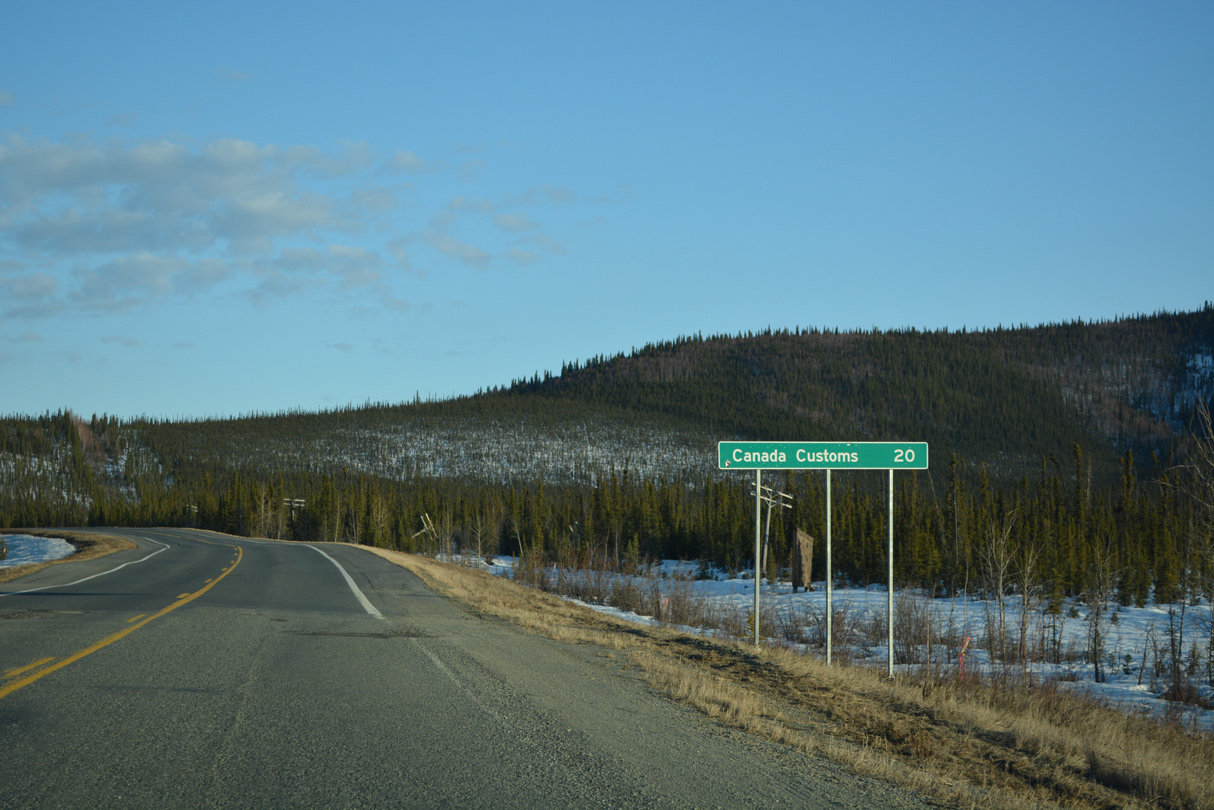
Canadian Customs lies 17.7 miles south along Alaska Highway beyond the International border.
05/07/23
05/07/23
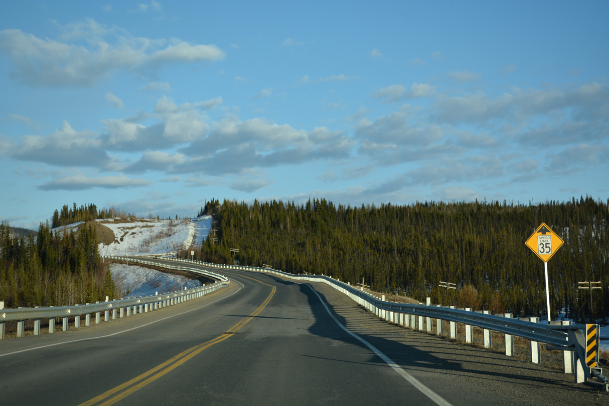
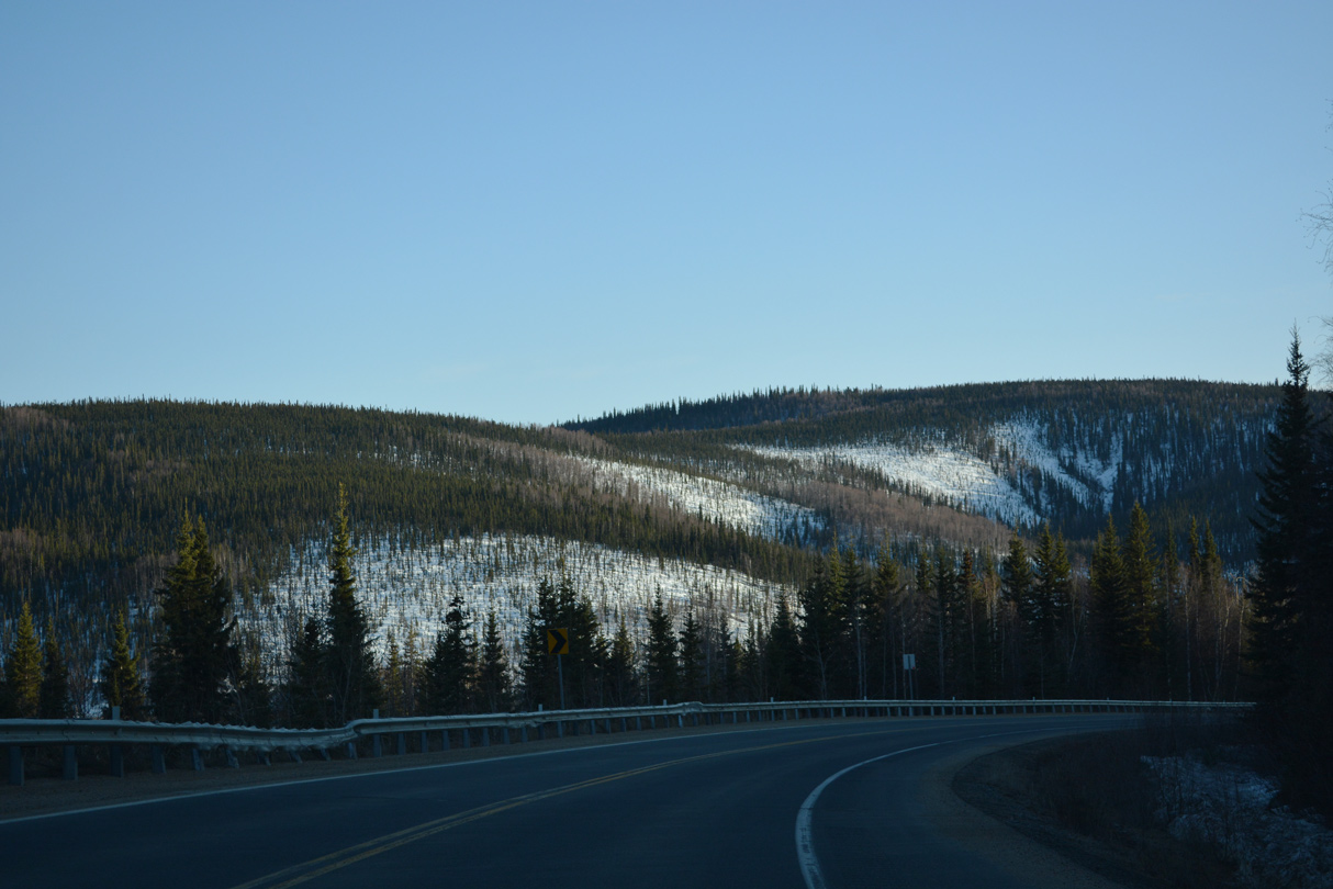
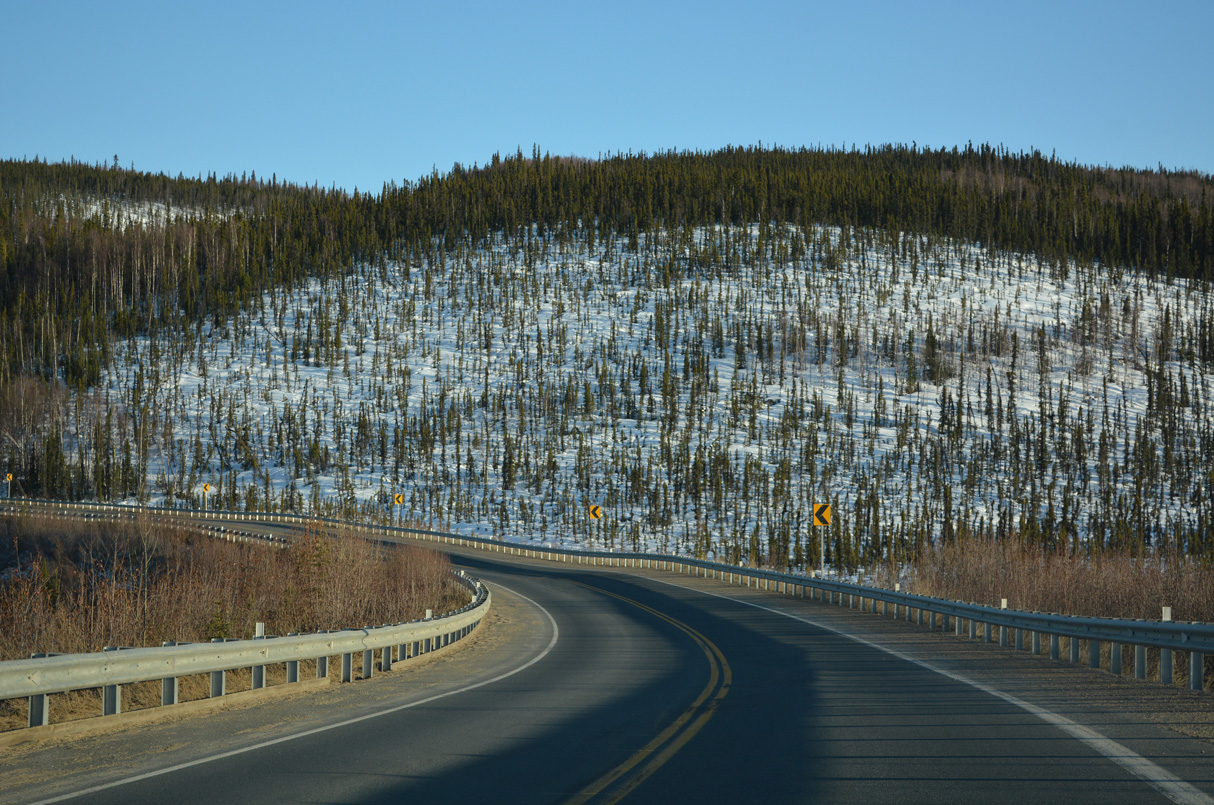
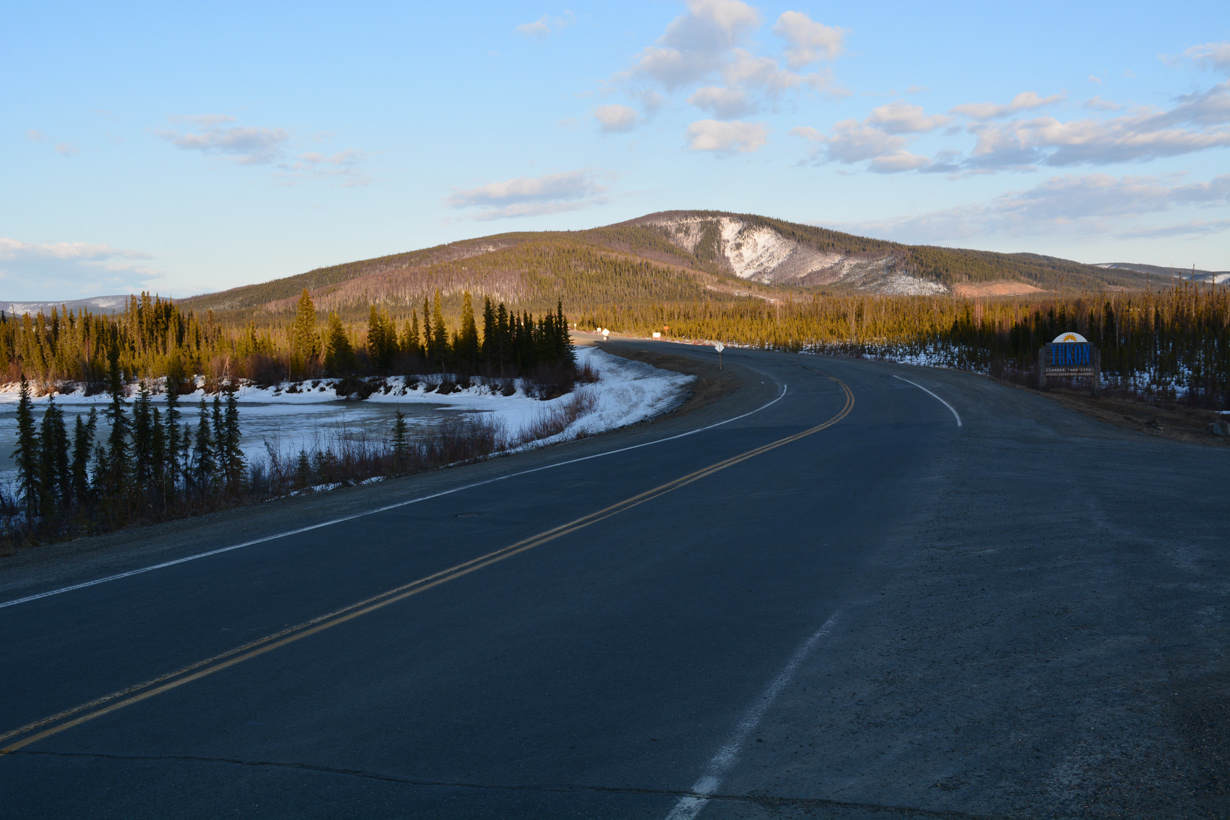
SR 2 (Alaska Highway) ascends over one final bluff before reaching Yukon, Canada.
05/07/23
05/07/23
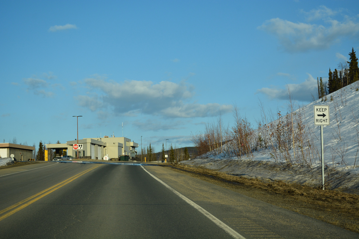
Southbound Alaska Highway passes by the U.S. Customs Station at milepost 1221.8.
05/07/23
05/07/23
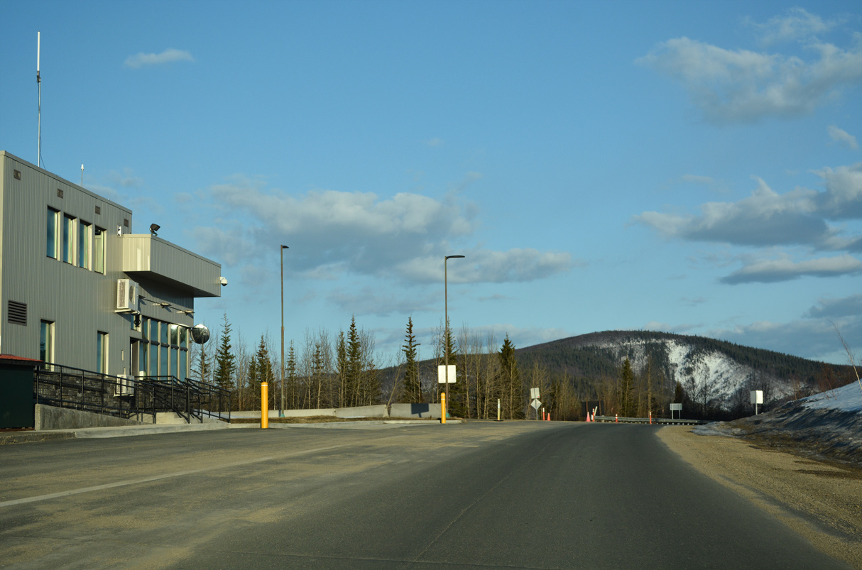
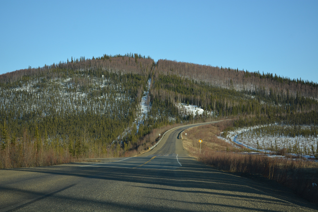
Alaska Highway originally navigated along a sharp curve just east of where the U.S. Customs Station sits.
05/07/23
05/07/23
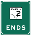
Alaska State Route 2 and Interstate A2 conclude at the International border. Alaska Highway continues southeast as Yukon Highway 1.
05/07/23
05/07/23
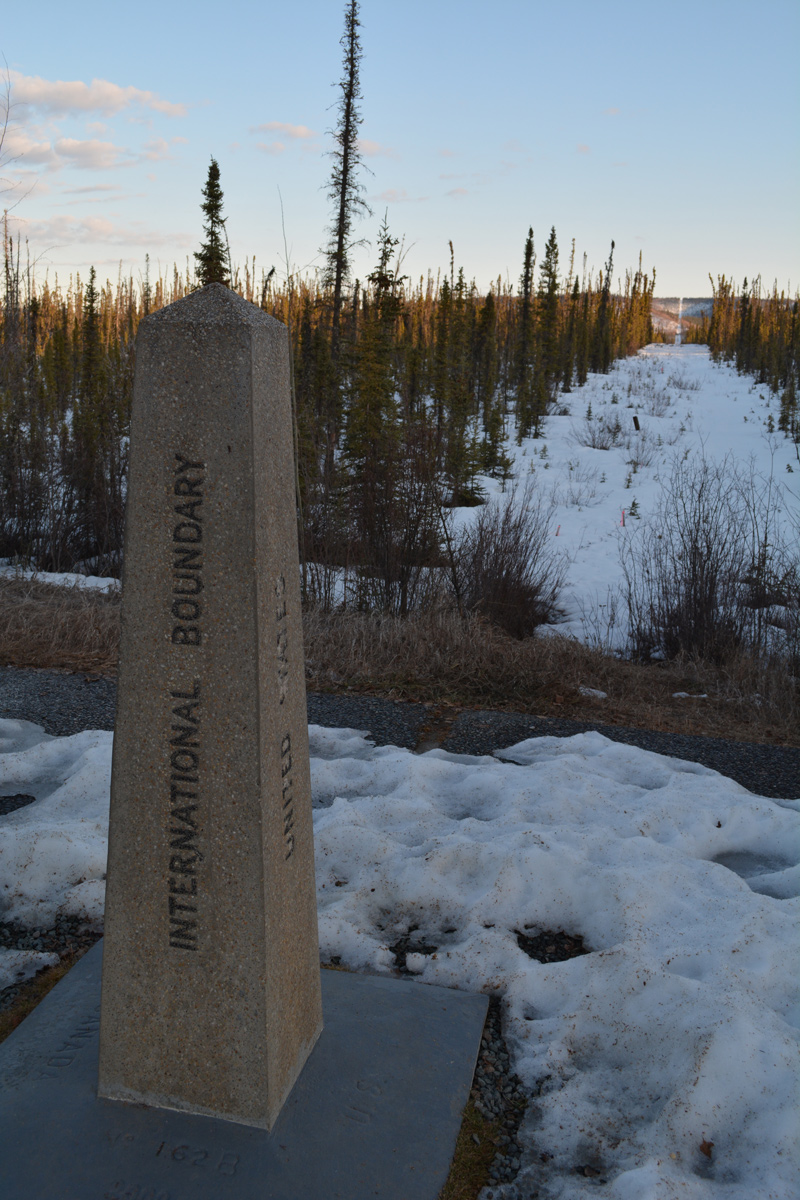
The International Boundary marker at the wayside park straddling the U.S./Canada line.
05/07/23
05/07/23
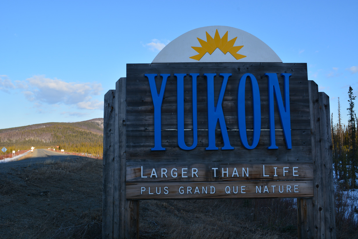
The Yukon welcome sign along Alaska Highway stands just inside Canada.
05/07/23
05/07/23

References:
- "Time for a new span: World War II-era Tok River Bridge is being replaced." Fairbanks Daily News-Miner (AK), November 4, 2018.
- "New Tanana River Bridge Enables More Efficient Commerce." https://content.govdelivery.com/ accounts/AKDOT/bulletins/ecaad Alaska Department of Transportation & Public Facilities, news bulleton. May 12, 2011.
- "World War II-era Alaska Highway bridge over Tanana River demolished." Fairbanks Daily News-Miner (AK), March 4, 2011.
Photo Credits:
- Alex Nitzman: 05/07/23
Connect with:
Page Updated Thursday June 15, 2023.