
State Route 4 - Richardson Highway

Alaska State Route 4 is Richardson Highway from Egan Drive and Meals Avenue in the city of Valdez to SR 2 (Alaska Highway) at the city of Delta Junction. Richardson Highway spurs 117.70 miles south from SR 1 (Glenn Highway) to Valdez along the coast of Port Valdez. The route angles across wetland areas east of Port Valdez toward Robe Lake and the Chugach Mountains. SR 4 leaves Valdez through Keystone Canyon adjacent to the Lowe River.
Continuing toward Heiden Canyon, Richardson Highway turns north and ascends past Blueberry Lake toward Worthington Glacier. Blueberry Lake Road along this stretch is a former stretch of Richardson Highway bypassed. Paralleling the Tsina River, SR 4 passes north of Mount Diamond. The state route follows the Tiekel River north by Mount Tiekel and Rice Mountain through northern reaches of the Chugach Mountain range.
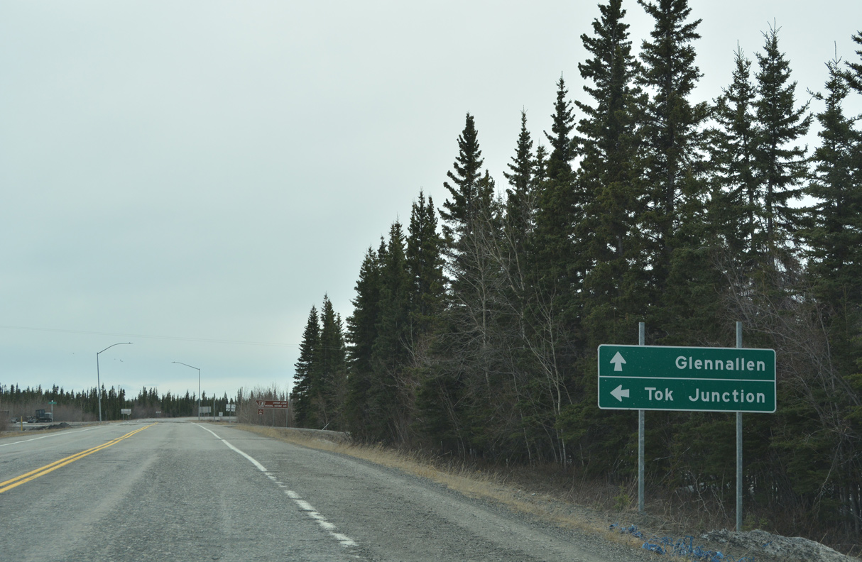
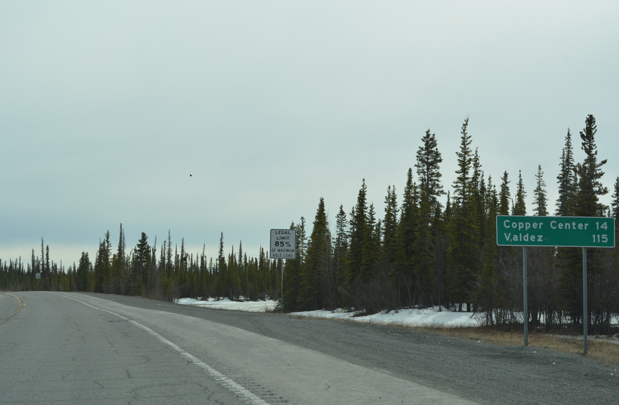
Leaving the Chugach Mountains, SR 4 (Richardson Highway) passes through the Tonsina census designated place ahead of SR 10 (Edgerton Highway) at Pippin Lake. SR 10 spurs east into Wrangell-St. Elias National Park while SR 4 continues north past Willow Mountain to Willow Creek, Copper Center, Silver Springs and Tazlina. A 5.69 mile section of Old Richardson Highway loops east from SR 4 between Copper Center and Silver Springs. North of the Tazlina River, SR 4 passes through Copperville en route to SR 1 (Glenn Highway) at Glennallen.
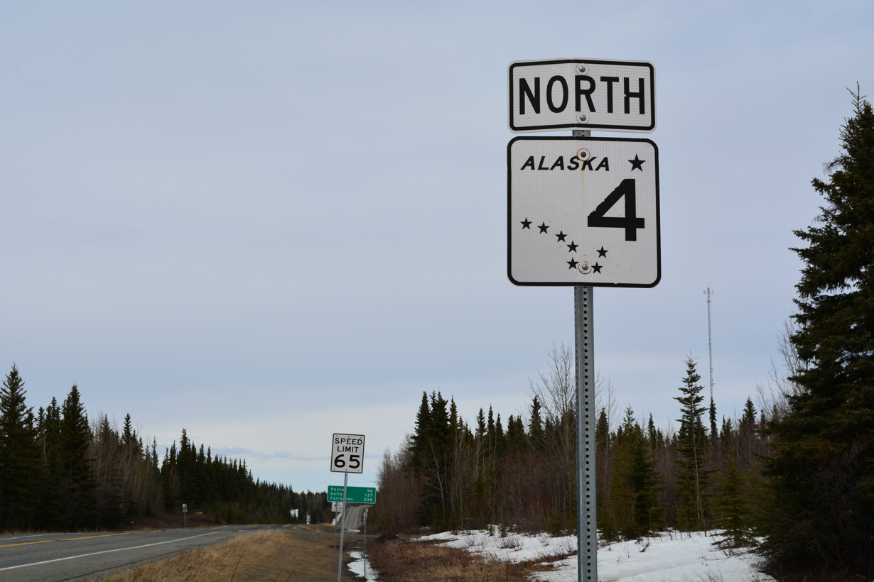
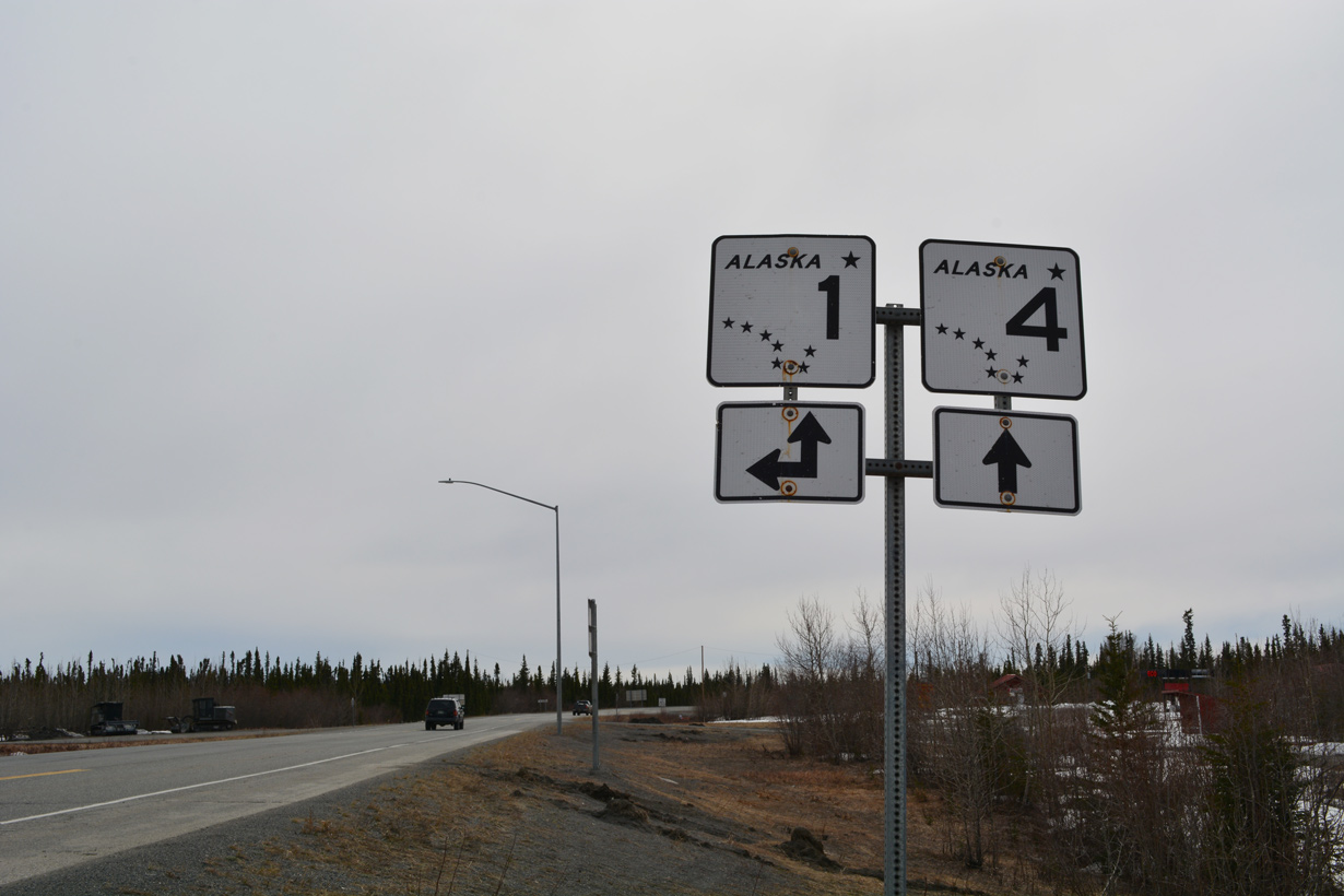
SR 1 combines with SR 4 along Richardson Highway 14.04 miles north from Glennallen through Gulkana. SR 1 branches northeast from SR 4 at Gakona along Tok Cutoff Highway toward Tok. Richardson Highway extends another 137.21 miles north to SR 2 (Alaska Highway). Initially paralleling the Gulkana River north to Sourdough, Richardson Highway reaches the census designated place of Paxson along the east side of Paxson Lake and Paxson Mountain. Traveling west to SR 3 (Parks Highway) near Denali National Park, SR 8 (Denali Highway) ties into SR 4 at Paxson.
Advancing north from Paxson, Richardson Highway runs along the east side of Summit Lake and then just west of Rainbow Ridge. The Delta River accompanies SR 4 north between Mount Silvertip and Mount Pillsbury. SR 4 diverges east from the waterway beyond the unincorporated community of Donnelly. The ensuing stretch of Richardson Highway leads north through Fort Greely to Delta Junction.
A missing confirming marker posted after SR 1 joins SR 4 (Richardson Highway) from the north end of Glenn Highway.
07/23/23
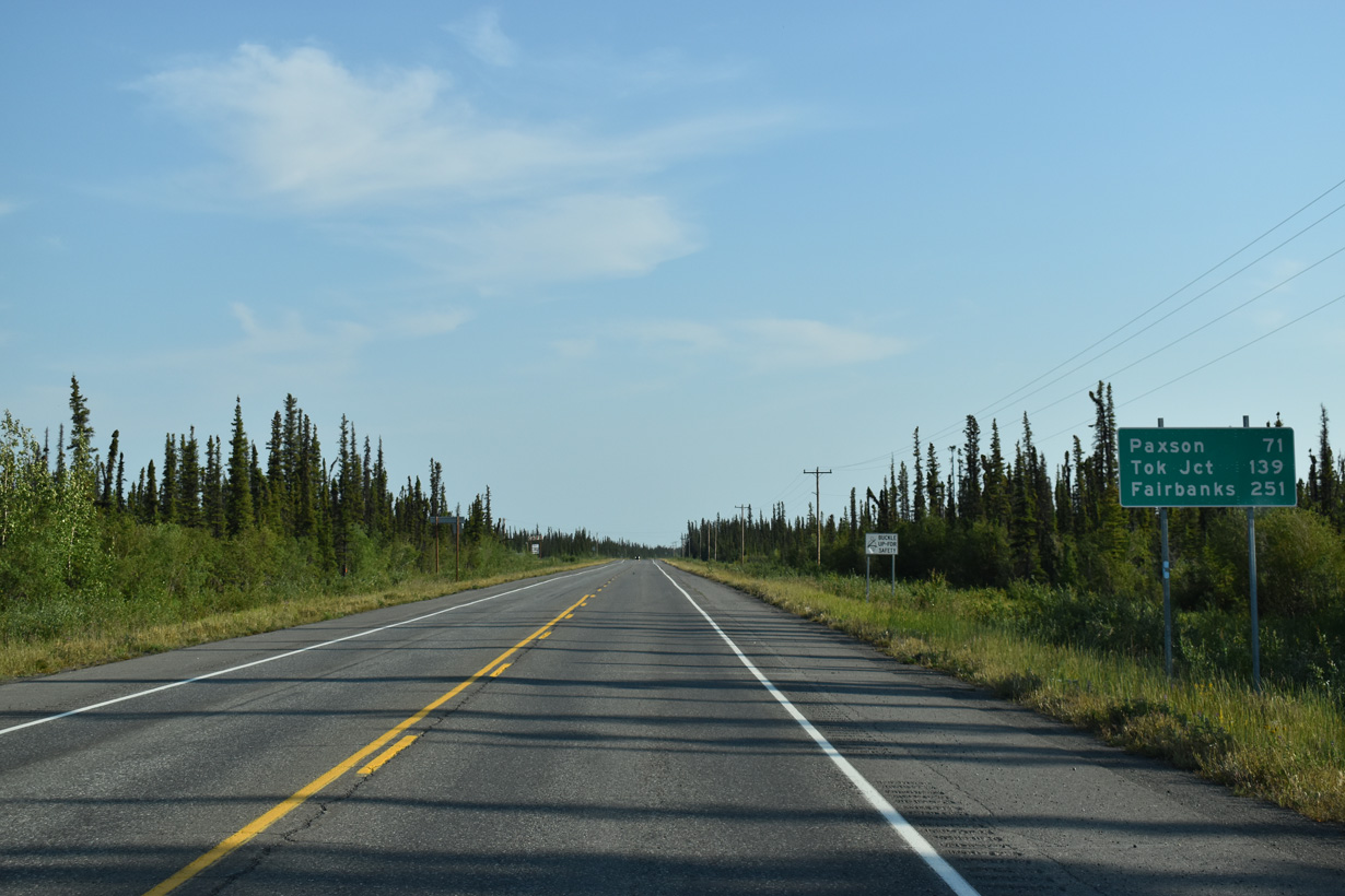
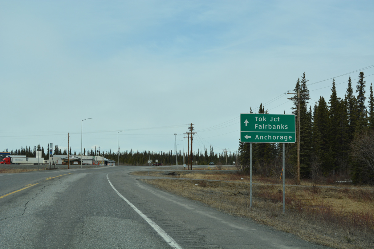
Tok is 136 miles to the northeast where SR 1 meets SR 2 (Alaska Highway). Fairbanks is 245 miles to the north via SR 4 and SR 2 (Alaska Highway).
07/23/23
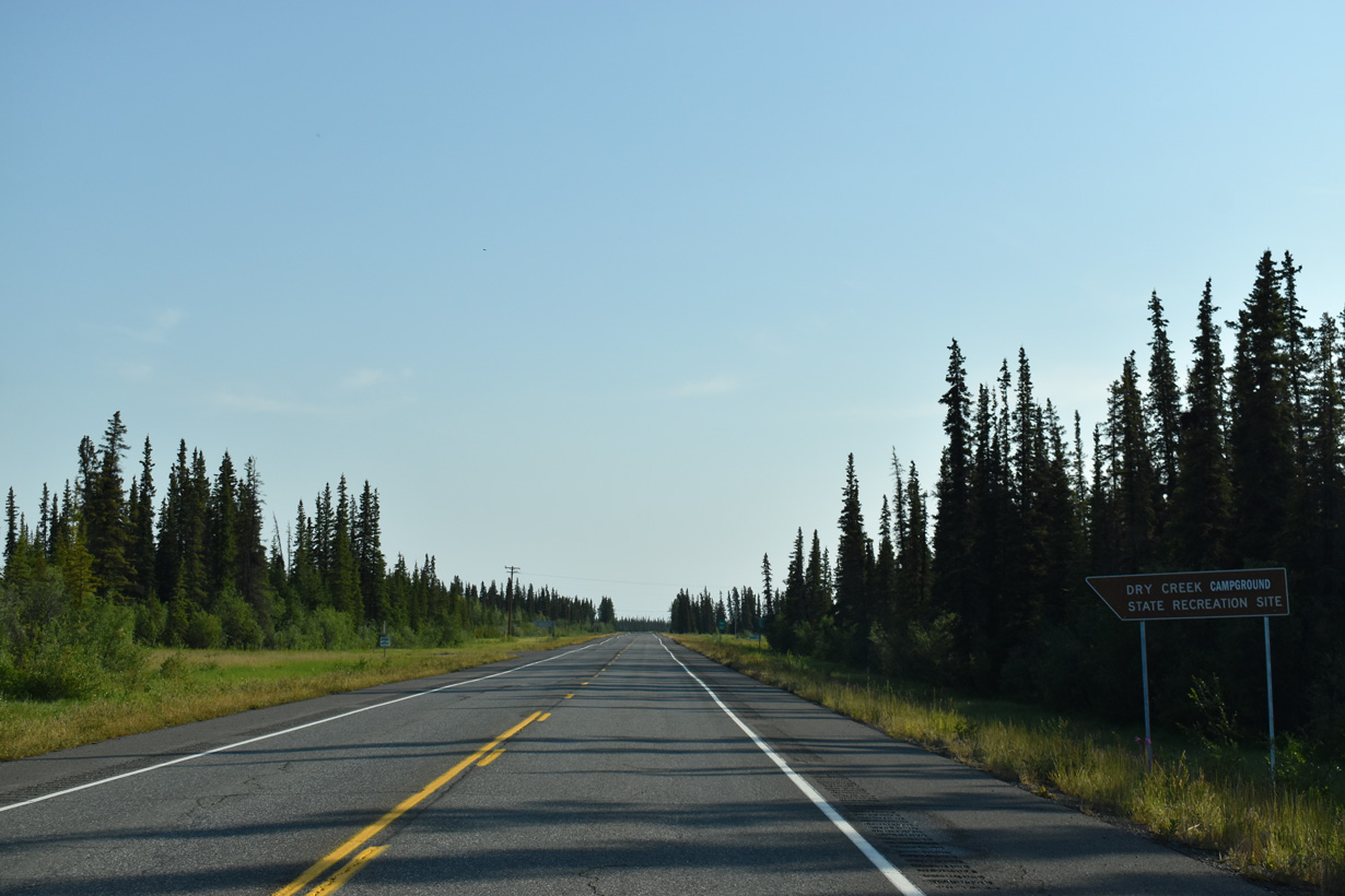
SR 1/4 (Richardson Highway) north at Dry Creek State Recreation Site.
07/23/23
Richardson Highway advances north through the census designated place of Gulkana to the Gulkana River.
07/23/23
Remnants of the old Richardson Highway alignment appear along the Gulkana River just south of SR 1/4.
07/23/23
SR 1/4 (Richardson Highway) separate north at forthcoming Gakona Junction.
07/23/23
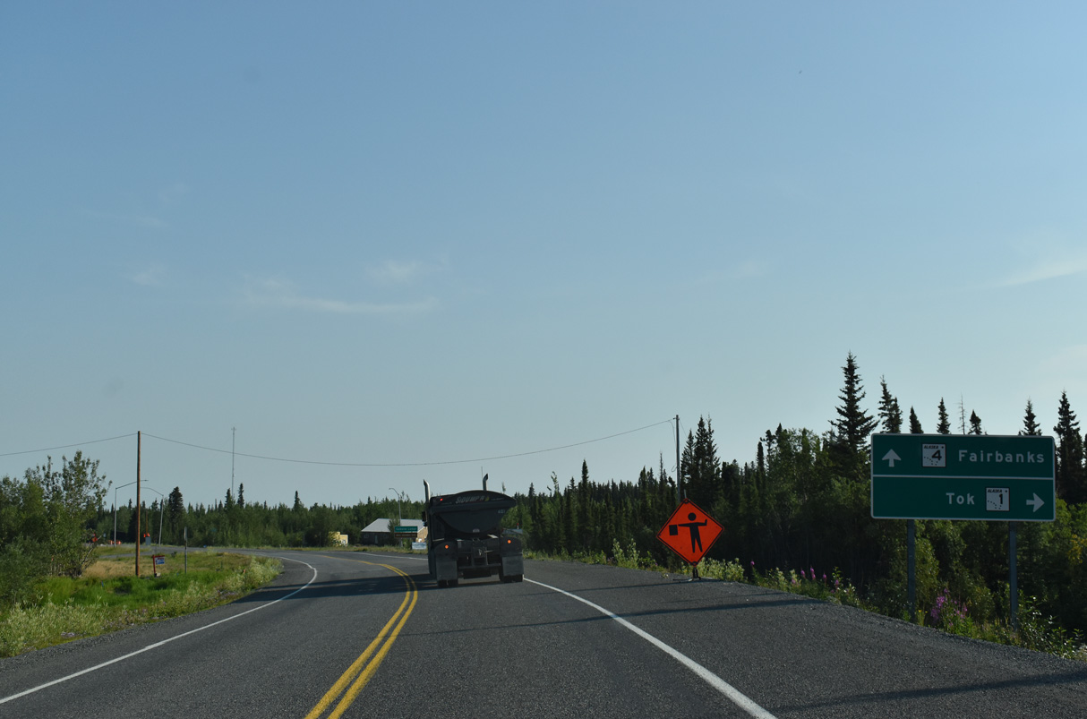
SR 1 turns east from Gakona Junction onto Tok Cutoff Highway. The state route extends another 122.36 miles to SR 2 at Tok.
07/23/23
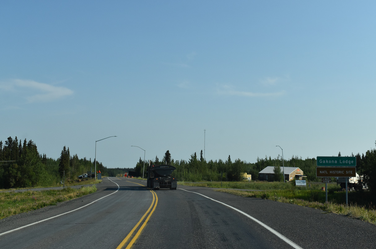
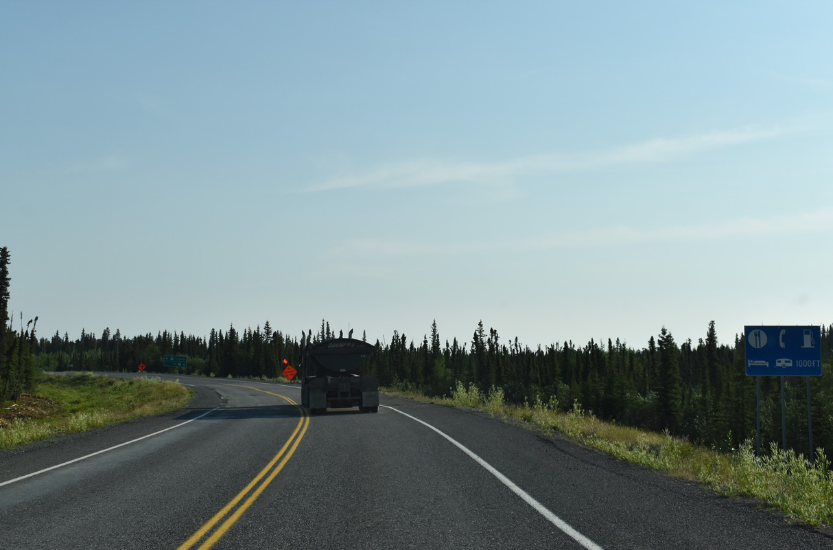
Gakona Lodge is two miles to the east of SR 4 (Richardson Highway) along SR 1 (Tok Cutoff Highway) adjacent to the Gakona River.
07/23/23
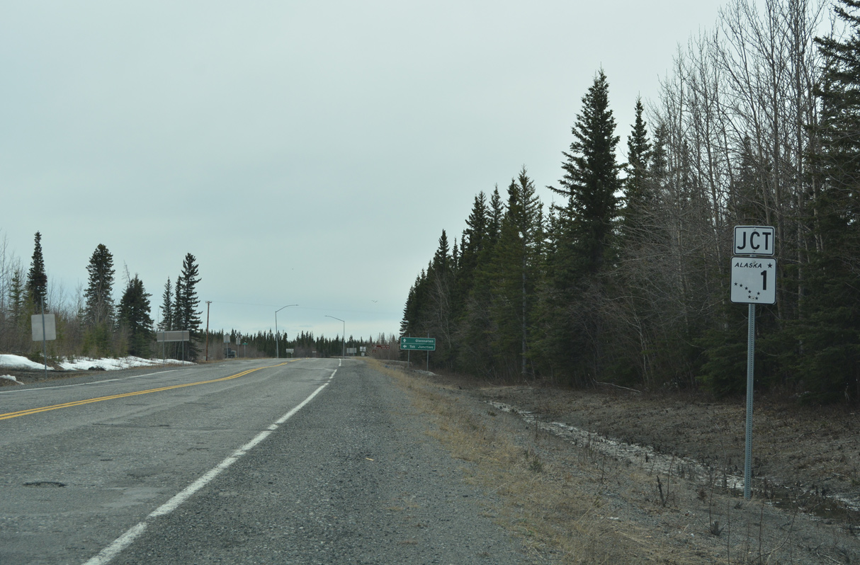
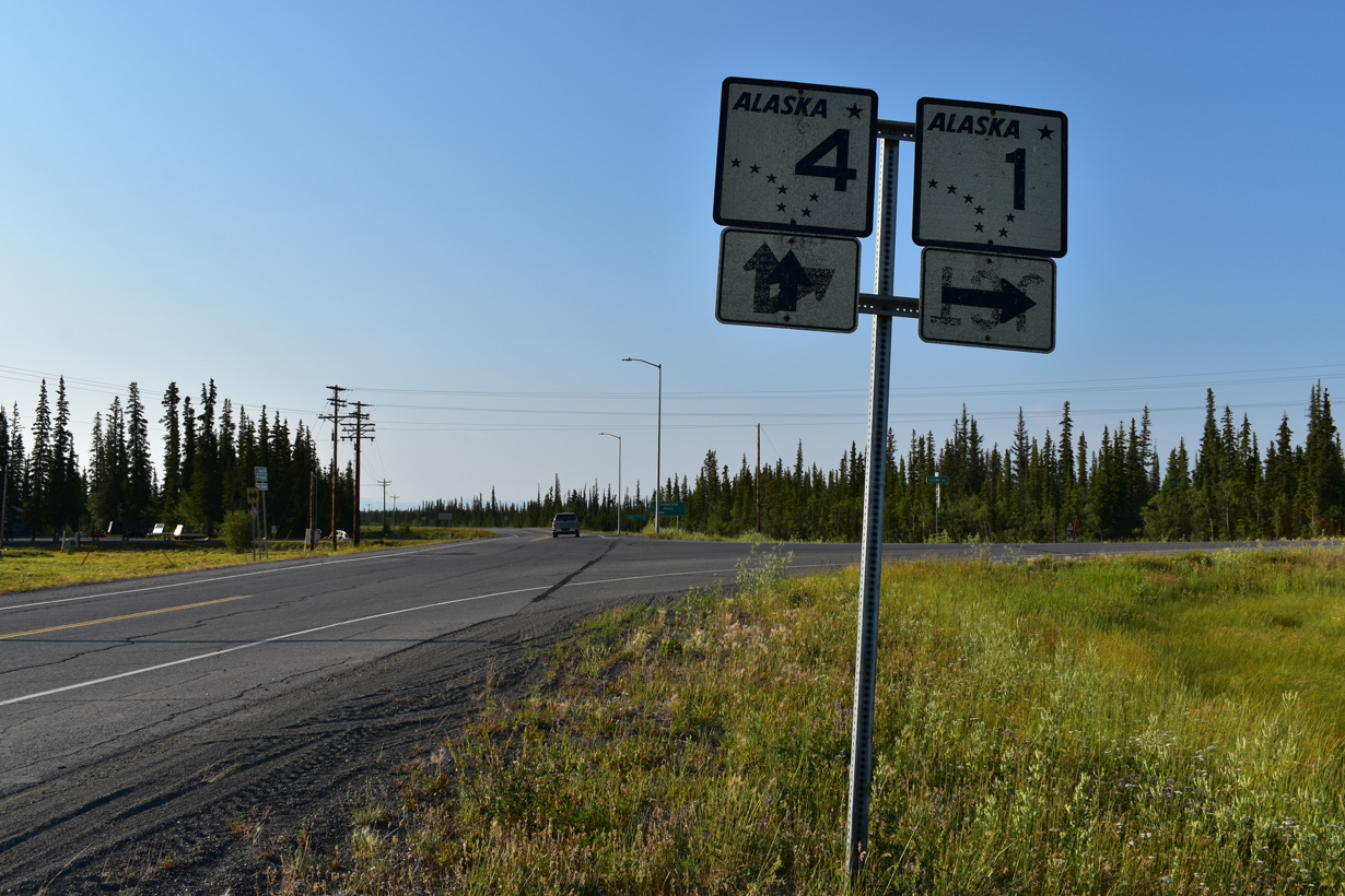
SR 4 (Richardson Highway) converges with SR 1 along Glenn Highway at the community of Glennallen. SR 1 follows Glenn Highway west to Palmer and south to Anchorage.
05/07/23
The lone shield assembly for SR 1 preceding Glenn Highway on SR 4 (Richardson Highway) was missing. SR 1 travels southwest from Glennallen to Homer on the Kenai Peninsula.
05/07/23
No other signage is posted for either SR 1 south or the overlap of SR 1/4 north to Gulkana.
05/07/23
SR 4 confirming marker posted north beyond the separation with SR 1 (Tok Cutoff Highway) at Gakona Junction.
05/07/23
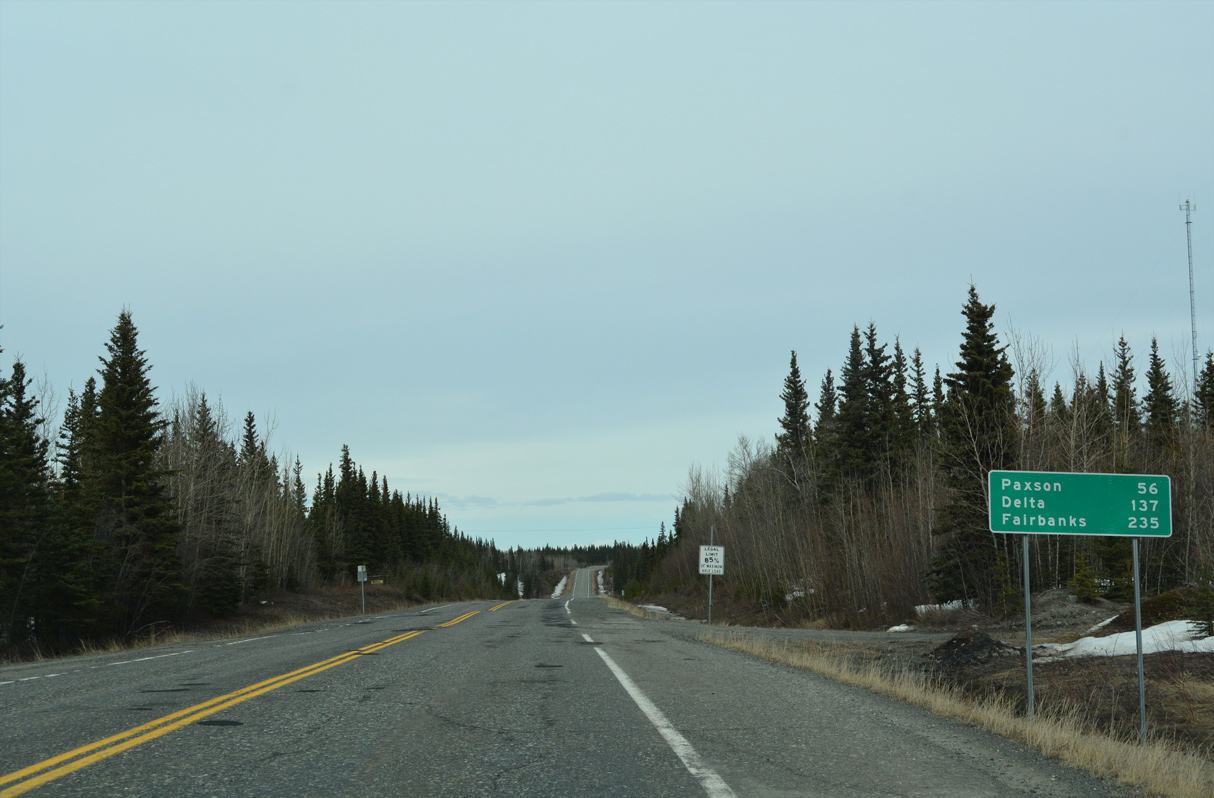
SR 4 continues 137.21 miles north to SR 2 (Alaska Highway) in Delta Junction. 56 miles away along SR 4 (Richardson Highway), Paxson lies at the east end of SR 8 (Denali Highway).
05/07/23
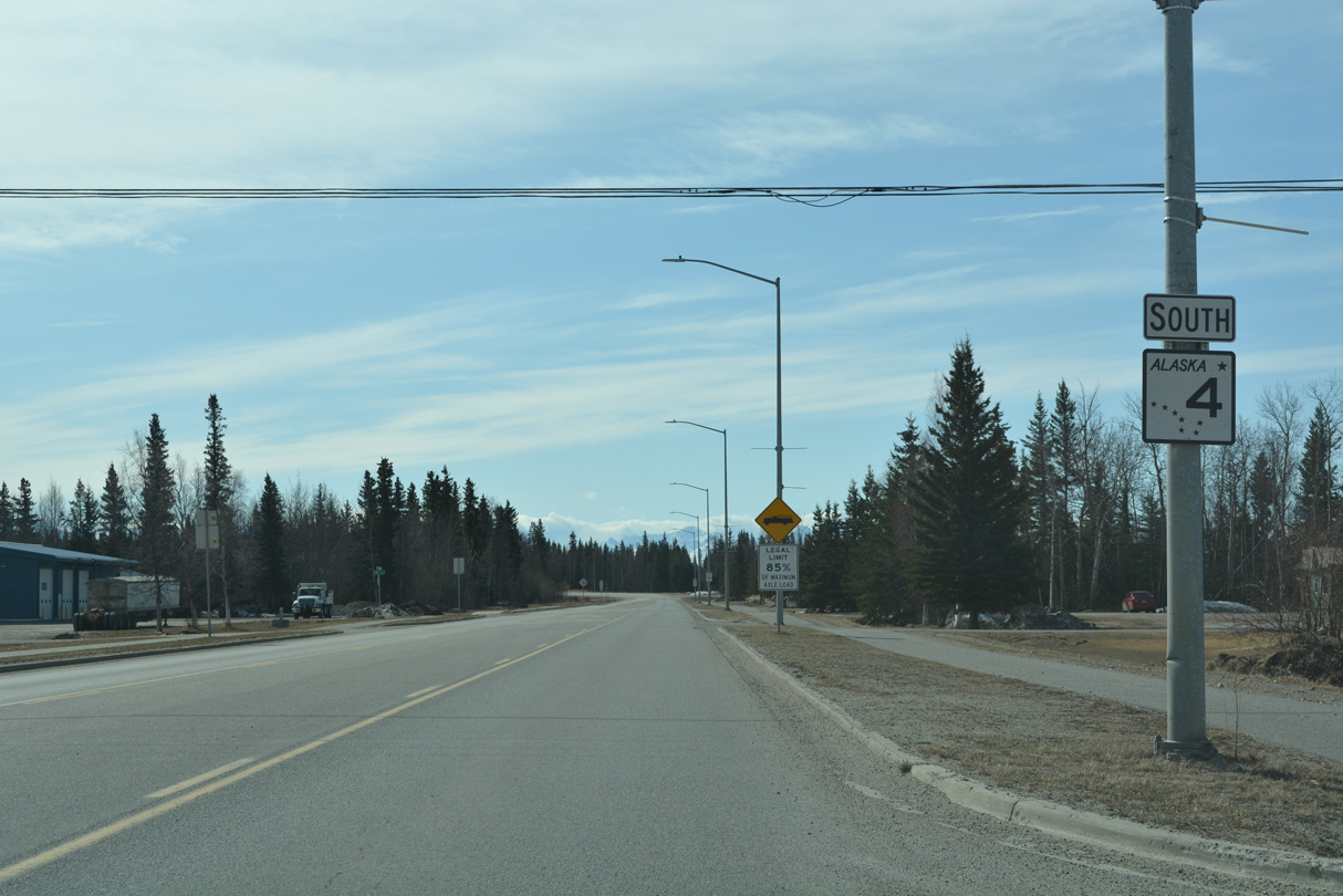
SR 4 (Richardson Highway) expands to a three lane boulevard leading north to SR 2 (Alaska Highway) and the Delta Junction business district.
05/08/23
SR 2 travels 197.47 miles southeast from Richardson Highway in Delta Junction to Alcan Border and the boundary with Yukon, Canada.
05/08/23
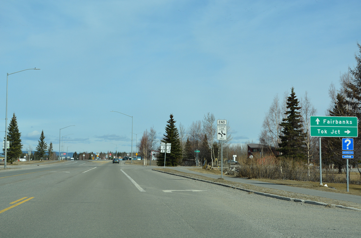
Grizzly Lane links the north end of SR 4 (Richardson Highway) with SR 2 (Alaska Highway) south to Tok. Richardson Highway extends northwest from SR 4 along SR 2 to Fairbanks.
05/08/23
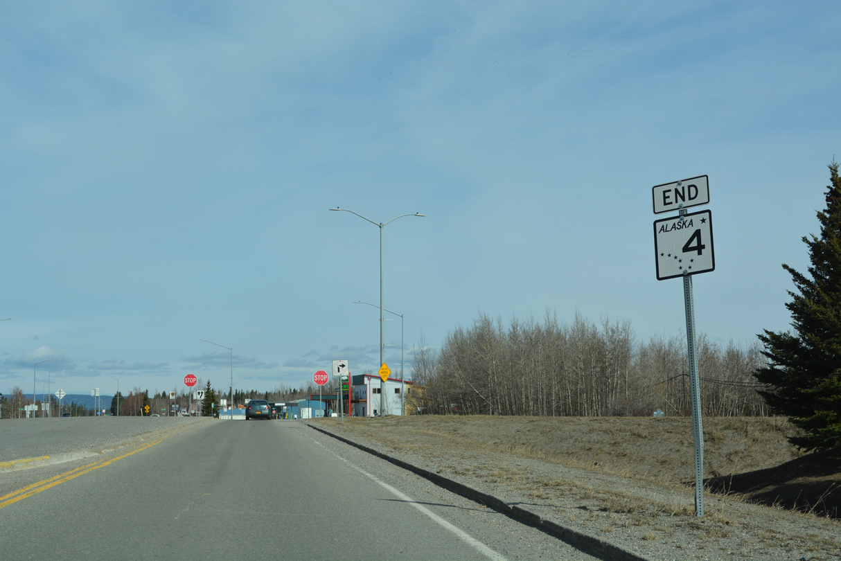
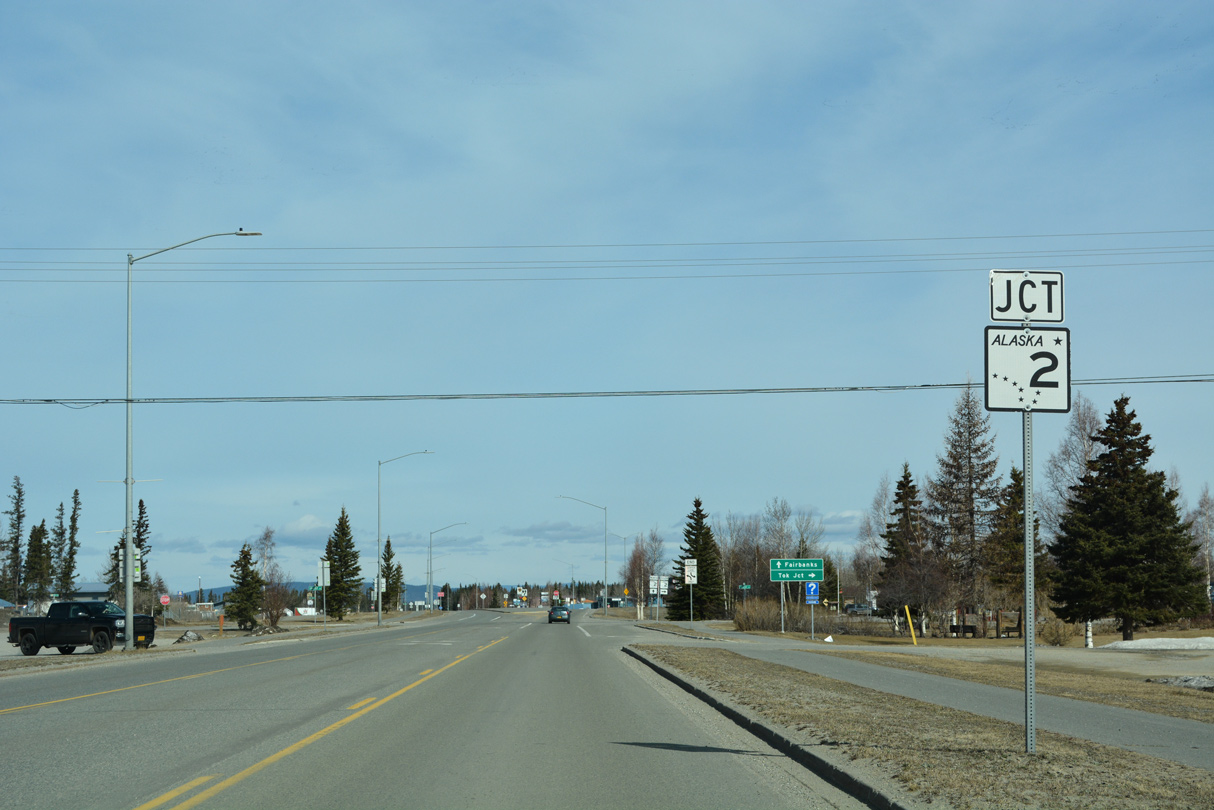
An end shield for SR 4 north stands at the wye intersection joining Richardson Highway with SR 2 (Alaska Highway).
05/08/23
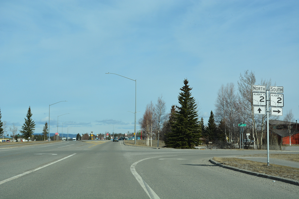
Grizzly Lane connects SR 2 (Alaska Highway) northbound with SR 4 (Richardson Highway) south. SR 2/4 converge at a wye intersection to the immediate north.
05/08/23
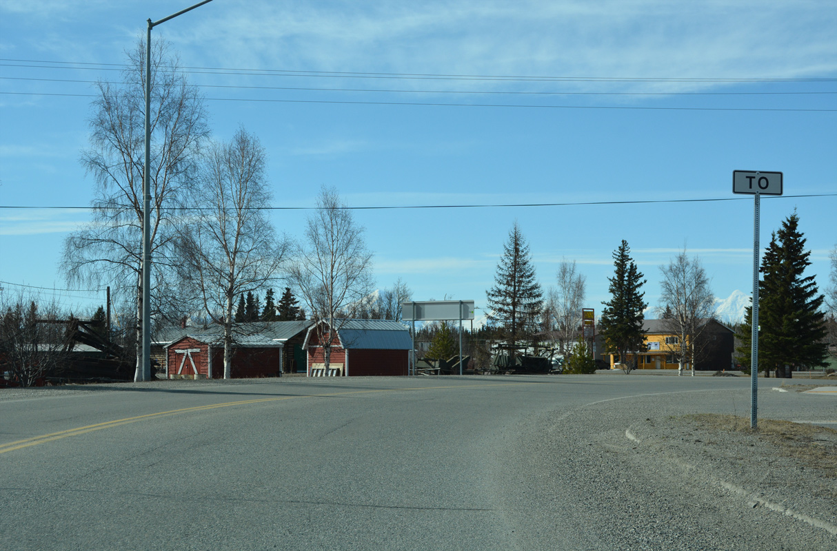
Grizzly Lane west at SR 4 (Richardson Highway) in Delta Junction.
05/08/23
The second reassurance marker for SR 4 south stands along Richardson Highway between Grizzly Lane and 2nd Street in Delta Junction.
05/08/23
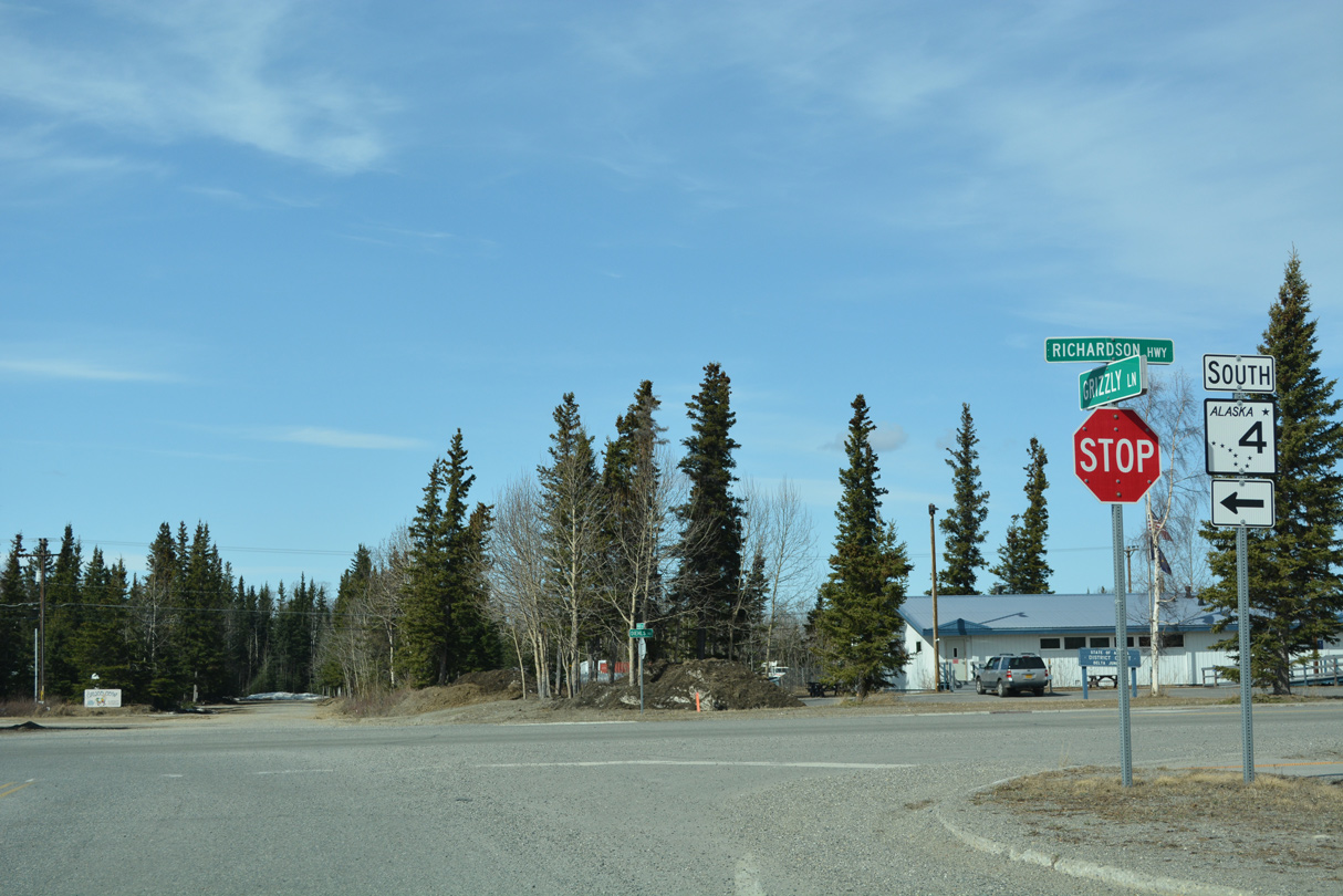
SR 4 (Richardson Highway) south meets SR 1 (Tok Cutoff Highway) at Gakona Junction.
05/07/23
SR 1 along Tok Cutoff Highway angles 122.36 miles northeast from SR 4 (Richardson Highway) to SR 2 (Alaska Highway) at Tok.
05/07/23
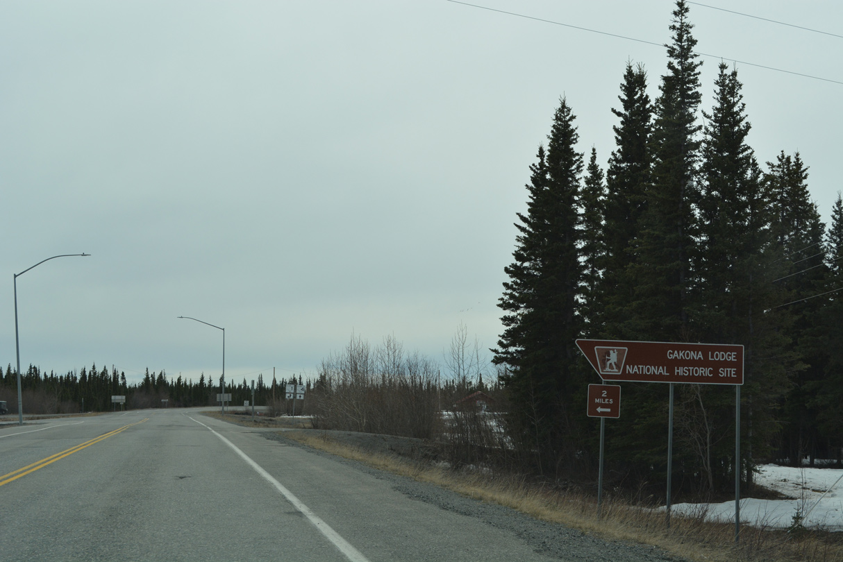
Gakona Lodge National Historic Site is two miles to the east along Tok Cutoff Highway.
05/07/23
SR 1/4 combine 14.04 miles south along Richardson Highway from Gakona Junction to Glennallen.
05/07/23
SR 1 heads west from SR 4 (Richardson Highway) along Glenn Highway to Glennallen, Palmer and Anchorage.
07/23/23
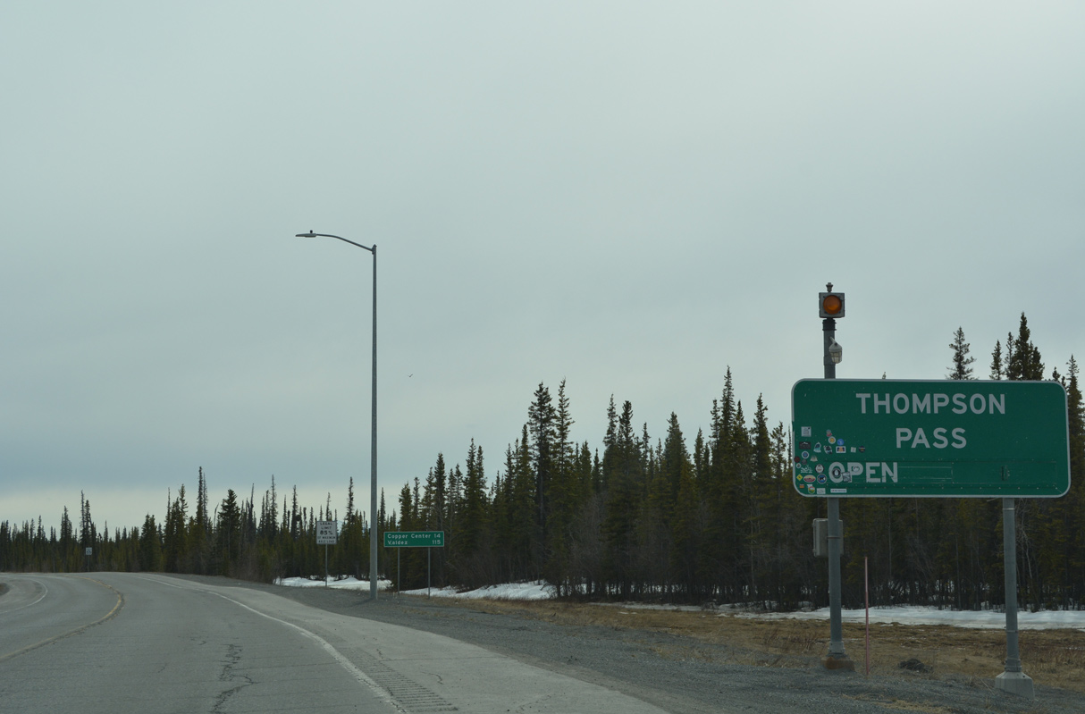
Located south of Worthington Glacier and west of Mount Diamond, SR 4 (Richardson Highway) crosses Thompson Pass across the Chugach Mountains 30 miles east of Valdez.
05/07/23
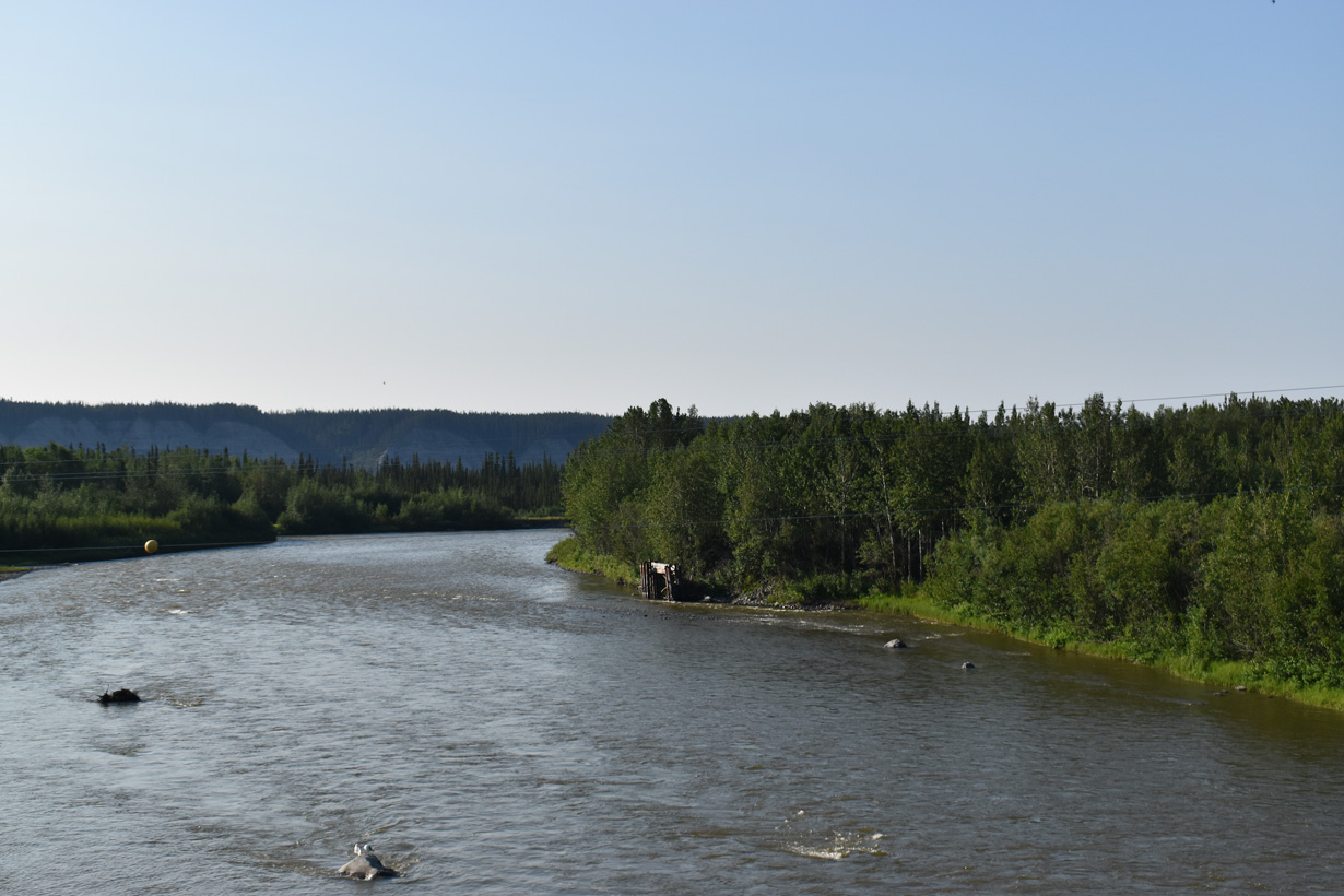
Located 15 miles south of Glennallen on SR 4 (Richardson Highway), the census designated place of Copper Center lies where the Klutina River flows into the Copper River.
05/07/23
Photo Credits:
- Brent Ivy: 07/23/23
- Alex Nitzman: 05/07/23, 05/08/23
Connect with:
Page Updated Monday March 16, 2026.