
State Route 10 - Copper River Hwy / Edgerton Hwy

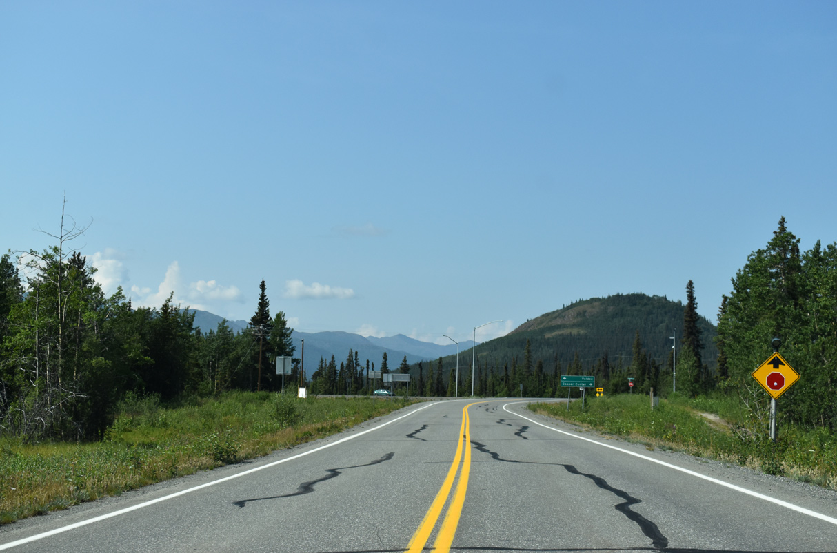
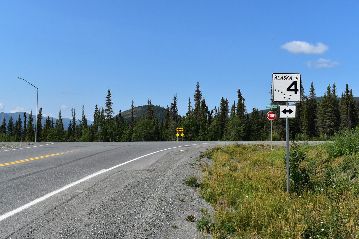
Split into two sections, Alaska State Route 10 travels 51.43 miles east from Cordova to the Copper River Delta and Miles Lake. The northern branch runs 36.05 miles from Chitina to SR 4 (Richardson Highway) west of Kenny Lake.
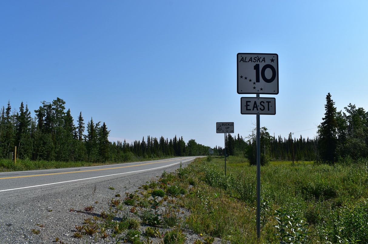
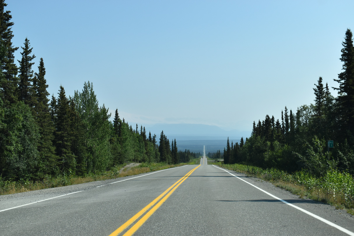
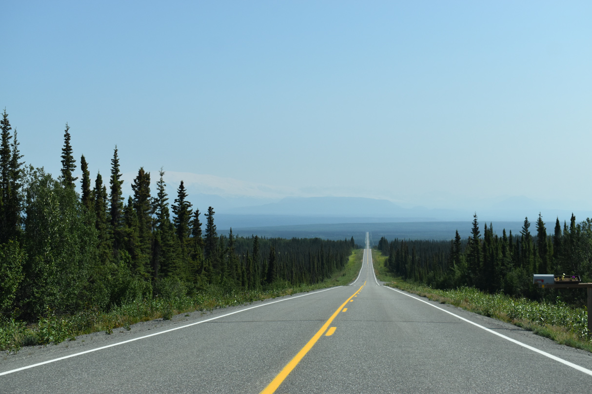
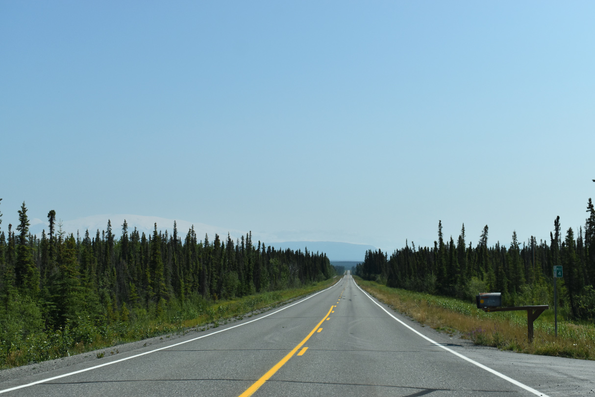
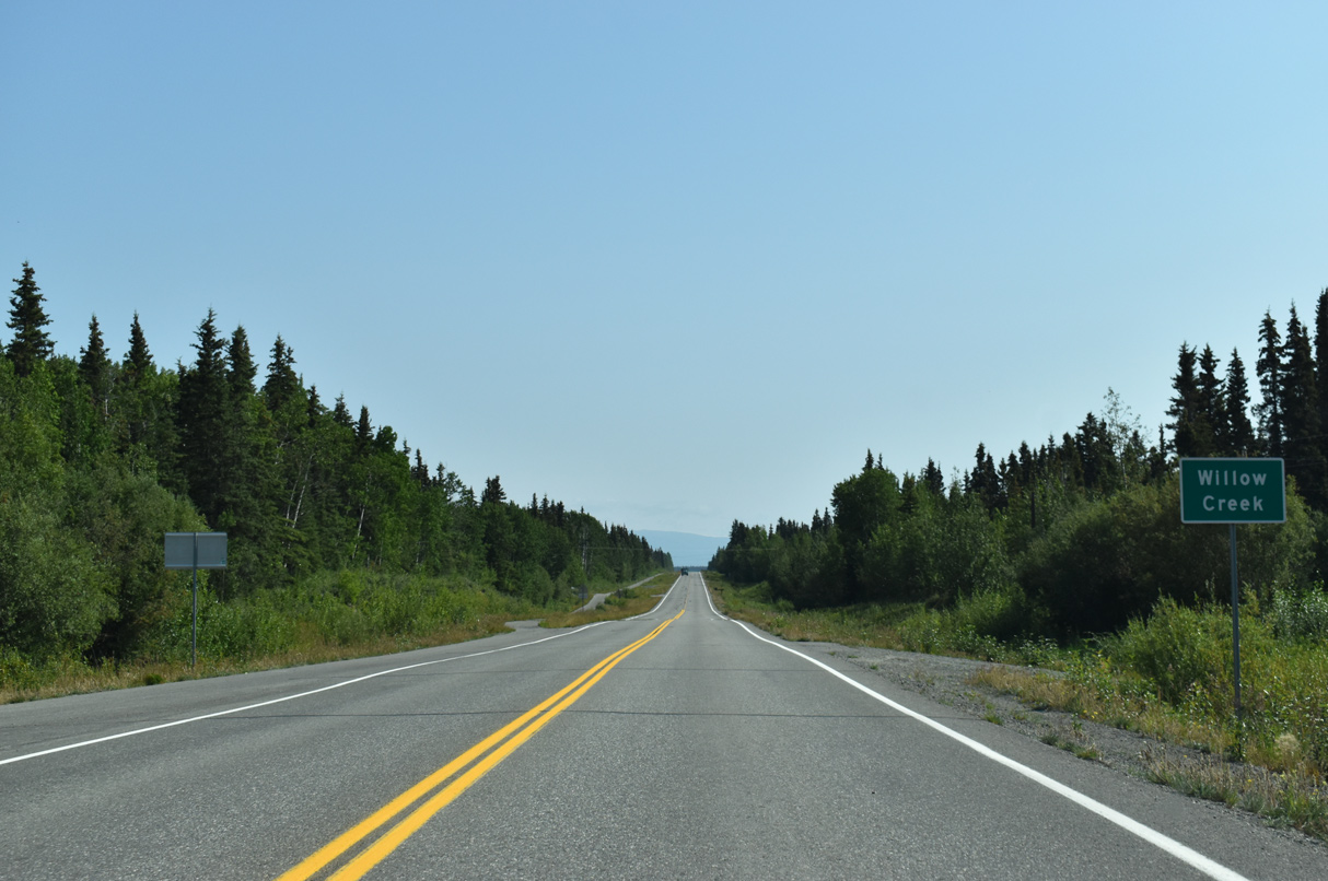
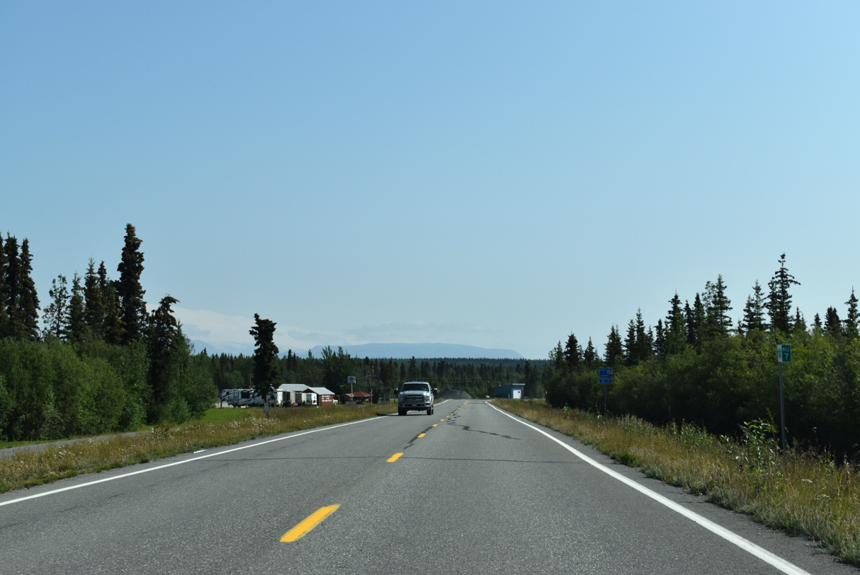
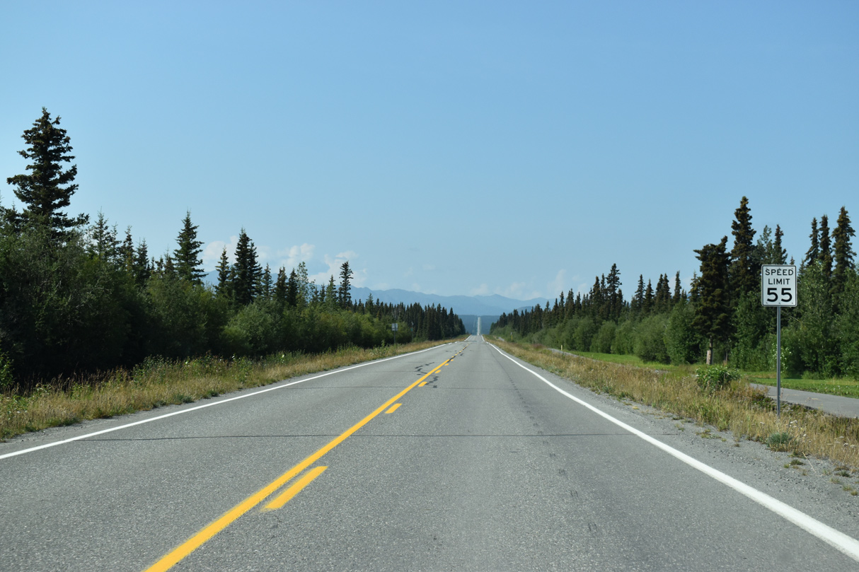
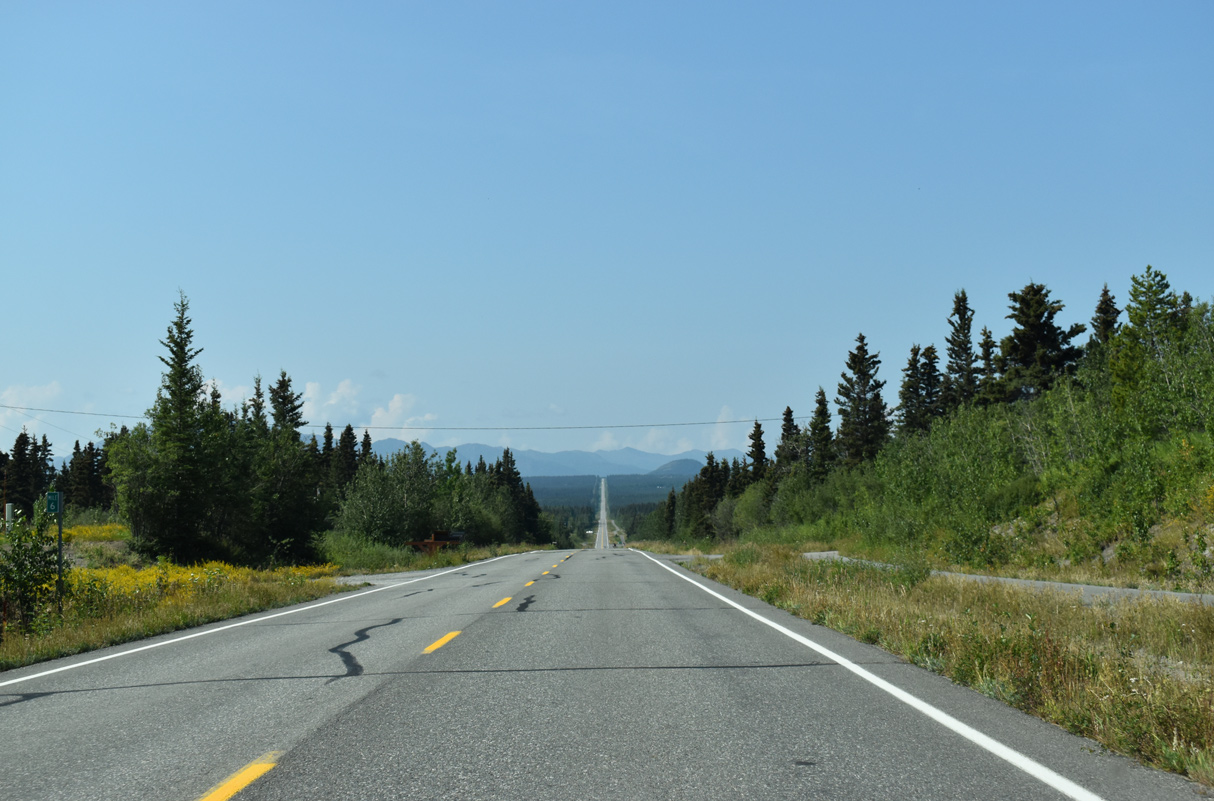
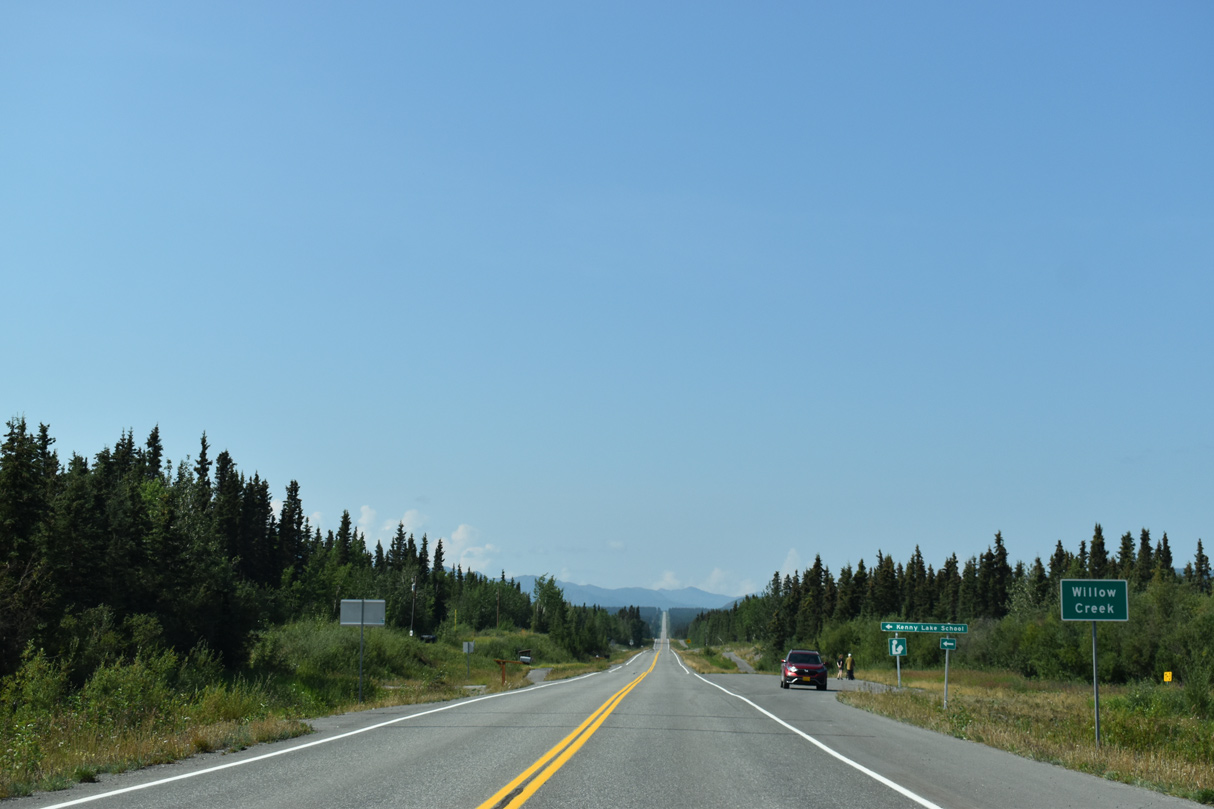
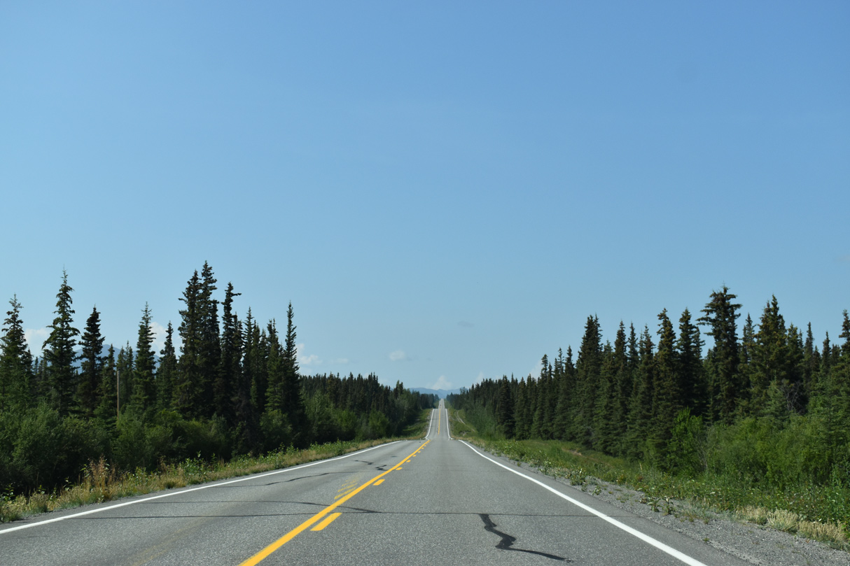
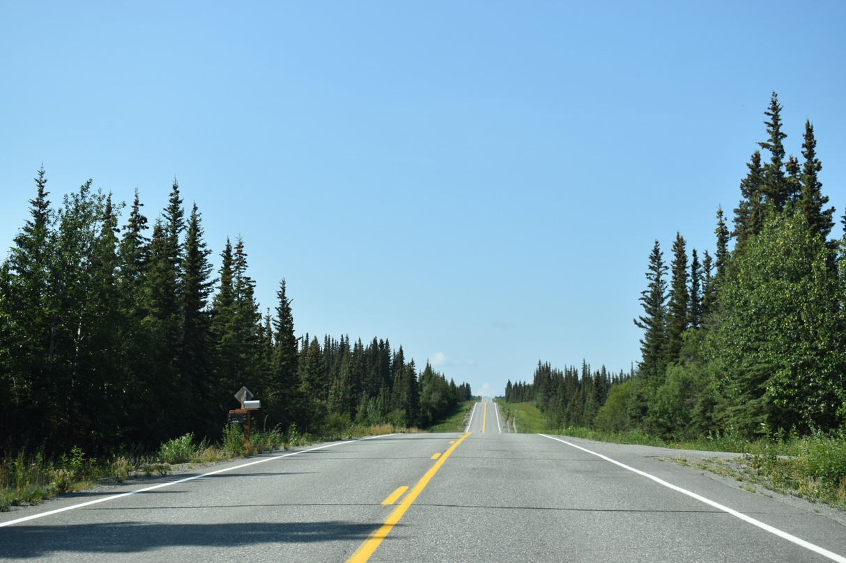
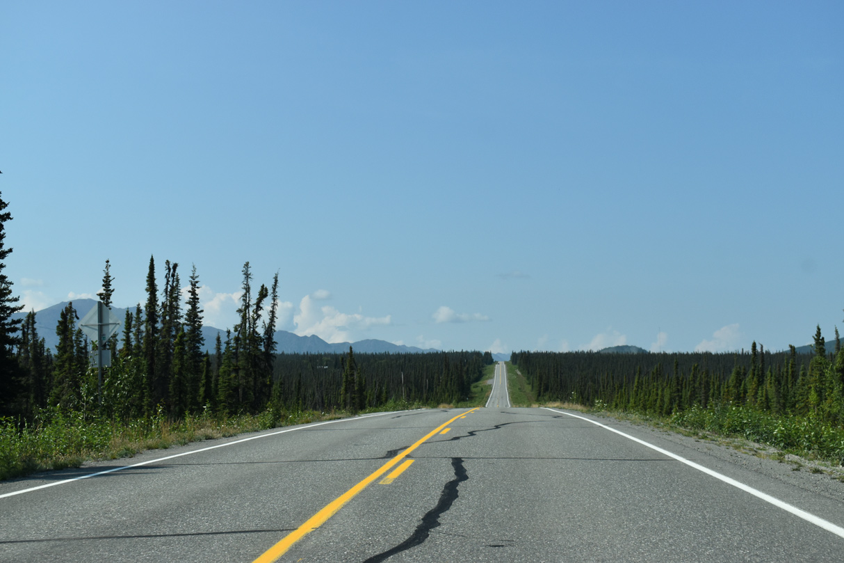
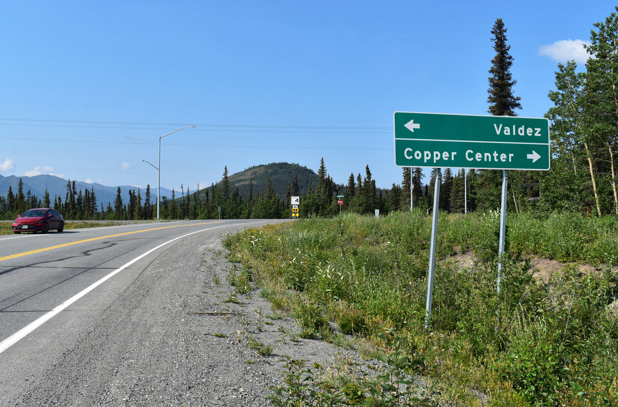
SR 10 stems east from SR 4 (Richardson Highway) at Pippin Lake along Edgerton Highway to the community of Kenny Lake. Curving south along the Copper River, Edgerton Highway enters northern reaches of the Chugach Mountains. The community of Chitina represents the south gateway into Wrangell-Saint Elias National Park via the continuation of Edgerton Highway east. SR 10 extends another 2.68 miles south along Copper River Spur, an unpaved road from Edgerton Highway by Town Lake to a dead end along the Copper River at O'Brien Creek.
SR 10 along Copper River Highway originates at Ferry Terminal Road, west of Tripod Hill in Cordova. The state route heads south into the Cordova business district and then east across Odiak Slough by Mt. Eccles and the Heney Range. Copper River Highway runs along the south side of Eyak Lake to the Eyak River, where SR 10 bee lines southeast to Merle K. (Mudhole) Smith Airport (CKU).
Traveling south of McKinley Park, SR 10 reaches the site of Alaganik. Copper River Highway enters the Copper River Delta across Flag Point Channel. Spanning Long Island Channel from Round Island, SR 10 turns northeast onto Long Island. Beyond a series of bridges over the Copper River Delta, SR 10 heads north past Goat Mountain. The north end of the route is by Miles Lake and the Million Dollar Bridge.
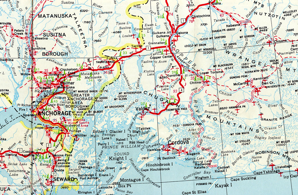
The 1964 Alaska Official Highway Map shows the unconstructed route linking the two separated branches of State Route 10.
 East
East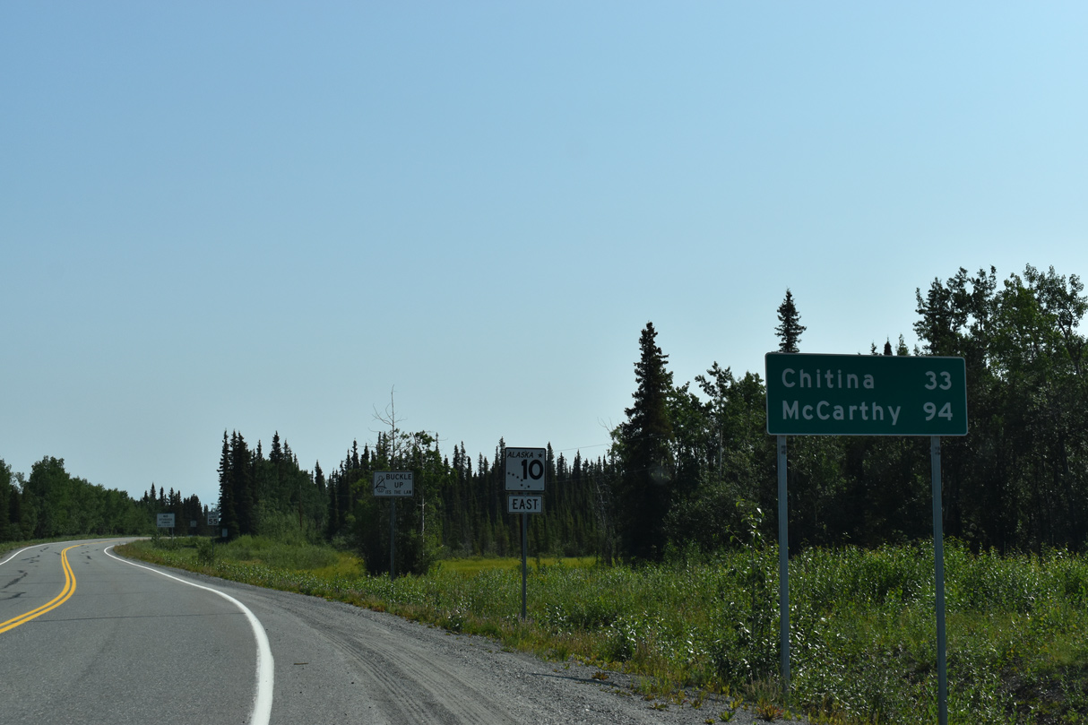
07/31/23
07/31/23
07/31/23
07/31/23
07/31/23
07/31/23
07/31/23
07/31/23
07/31/23
07/31/23
West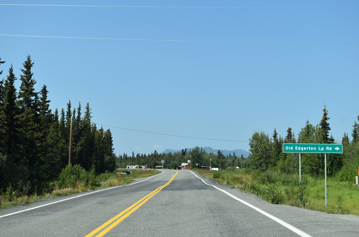
07/31/23
07/31/23
07/31/23
07/31/23
07/31/23
07/31/23
07/31/23
07/31/23
07/31/23
07/31/23
07/31/23
Photo Credits:
- Brent Ivy: 07/31/23
Connect with:
Page Updated Thursday April 20, 2023.