
State Route 64

Arizona State Route 64 travels from Interstate 40 and Business Loop I-40 in Williams north to the Grand Canyon, then through Grand Canyon National Park to U.S. 89 at Cameron.
SR 64 was first established in 1931 from U.S. 89 to the Grand Canyon, along the rim of the canyon. Paralleling the Grand Canyon Railway, the route was extended in 1932 from the Grand Canyon south to Williams and U.S. 66.
Between 1961 and 1963, SR 64 was further extended north through Tuba City and Tees Nos Pos to the New Mexico state line. This section of highway was subsequently transferred to U.S. 164 in 1966 and is now part of U.S. 160.
 West
West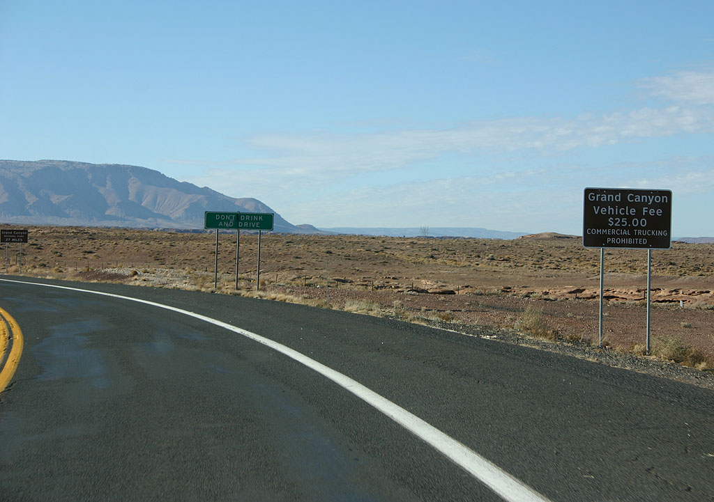
Upon entering SR 64 westbound, the first sign reminds travelers of the fee to enter Grand Canyon National Park.
01/07/11
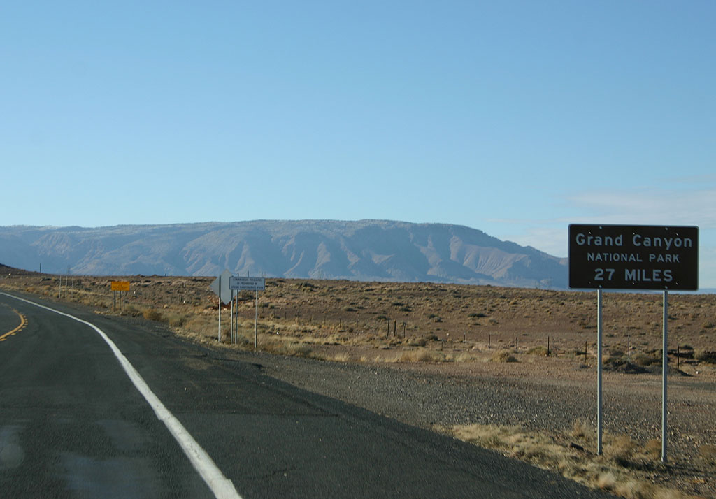
Distance sign to the Grand Canyon (27 miles).
01/07/11
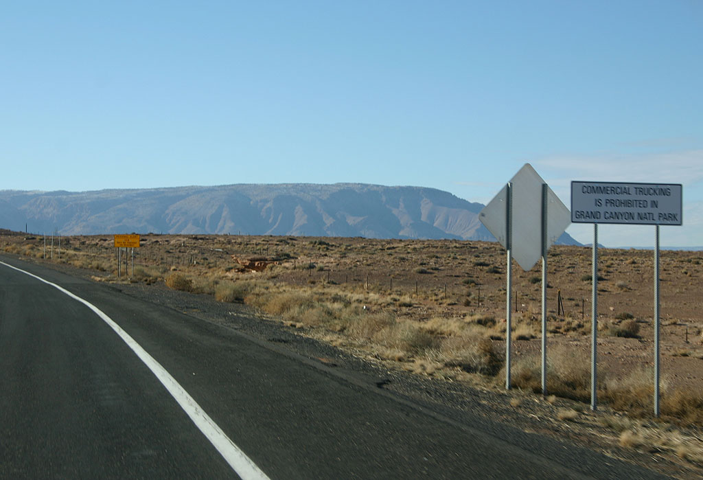
Commercial trucks are prohibited along SR 64 through the Grand Canyon.
01/07/11
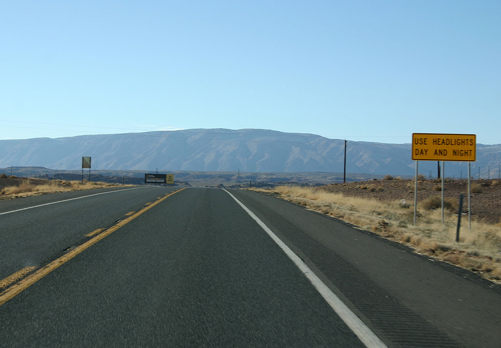
Use headlights all hours of the day along SR 64. This restriction is common to virtually all roads in the Navajo Nation.
01/07/11
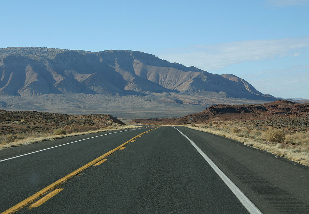
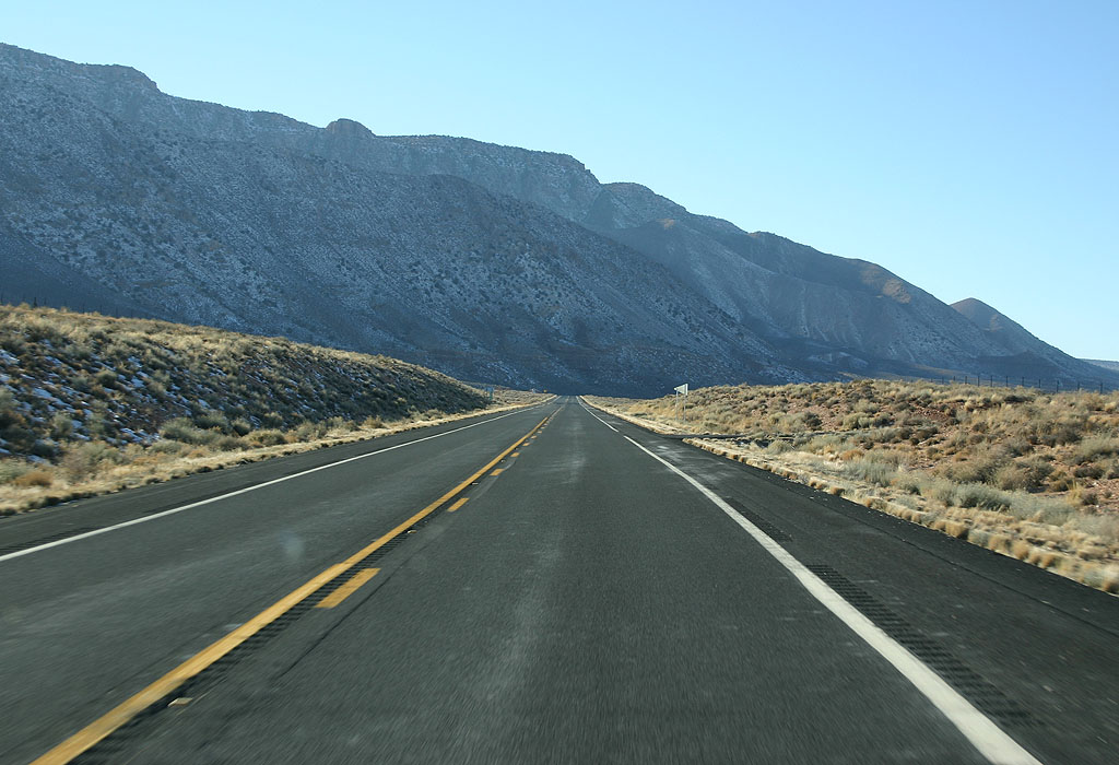
Looming in the distance is Gray Mountain. SR 64 will travel along the side of the mountain as it heads towards the Grand Canyon.
01/07/11
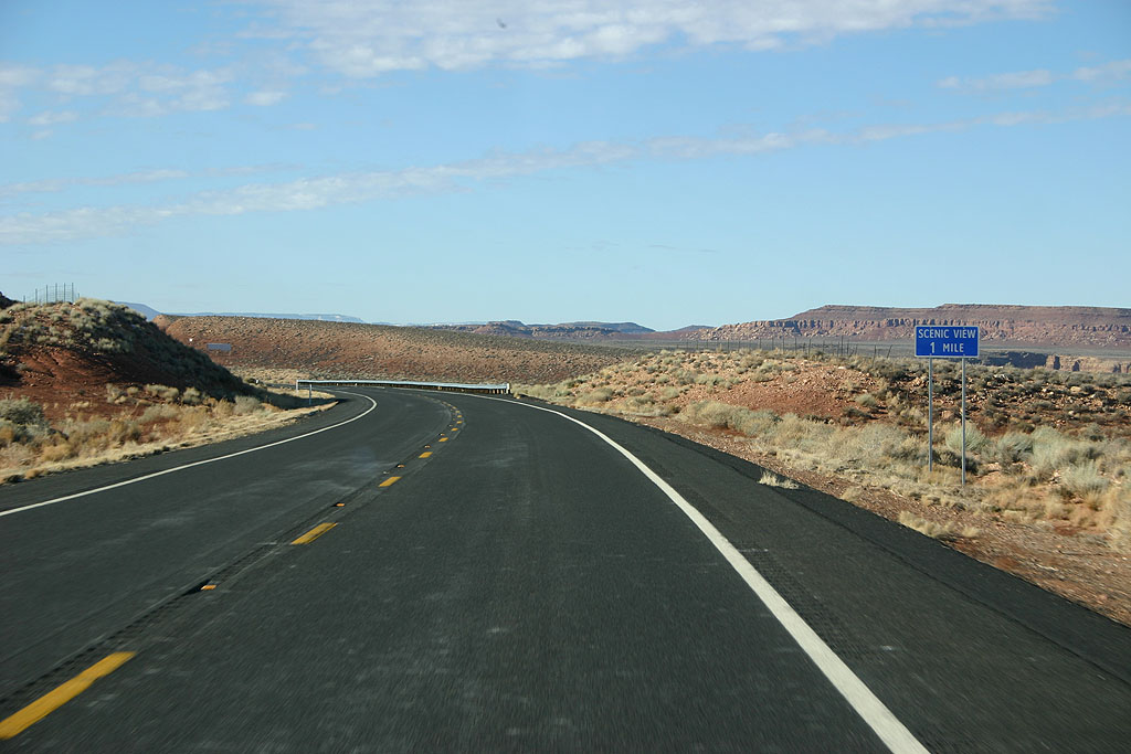
Advance signage for the first scenic view, one mile.
01/07/11
Several scenic views can be found along SR 64 before entering Grand Canyon National Park. This is the first of the two, accessed via the original alignment of the road.
01/07/11
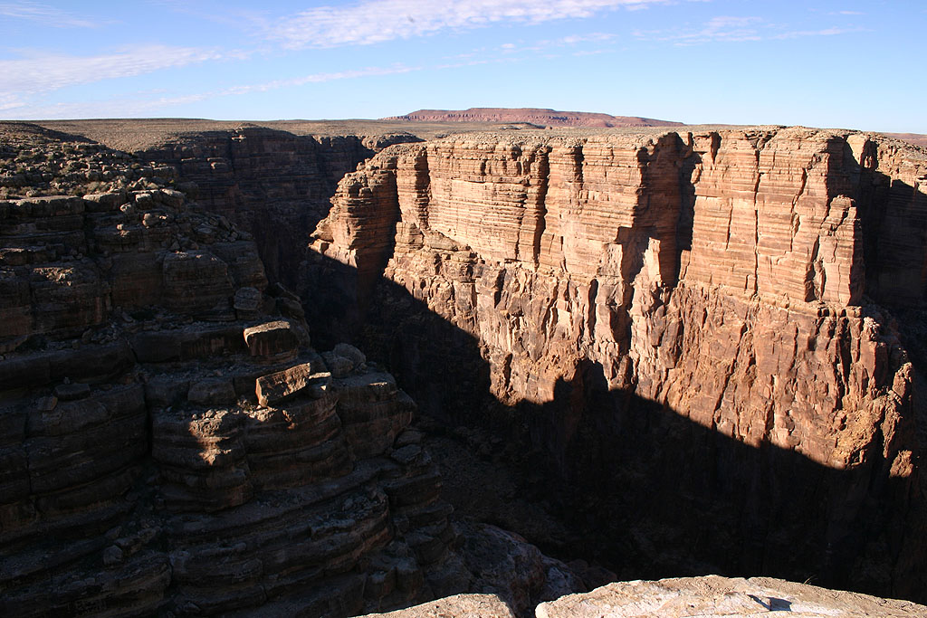
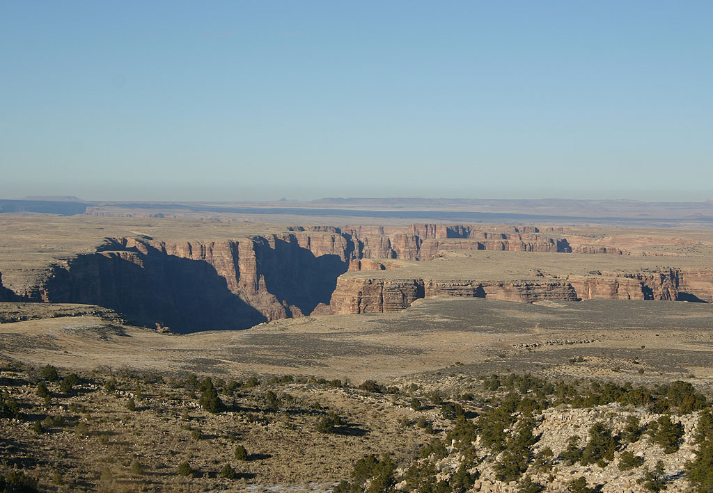
This is the first of the overlooks looking down on the Colorado River gorge, from SR 64.
01/07/11
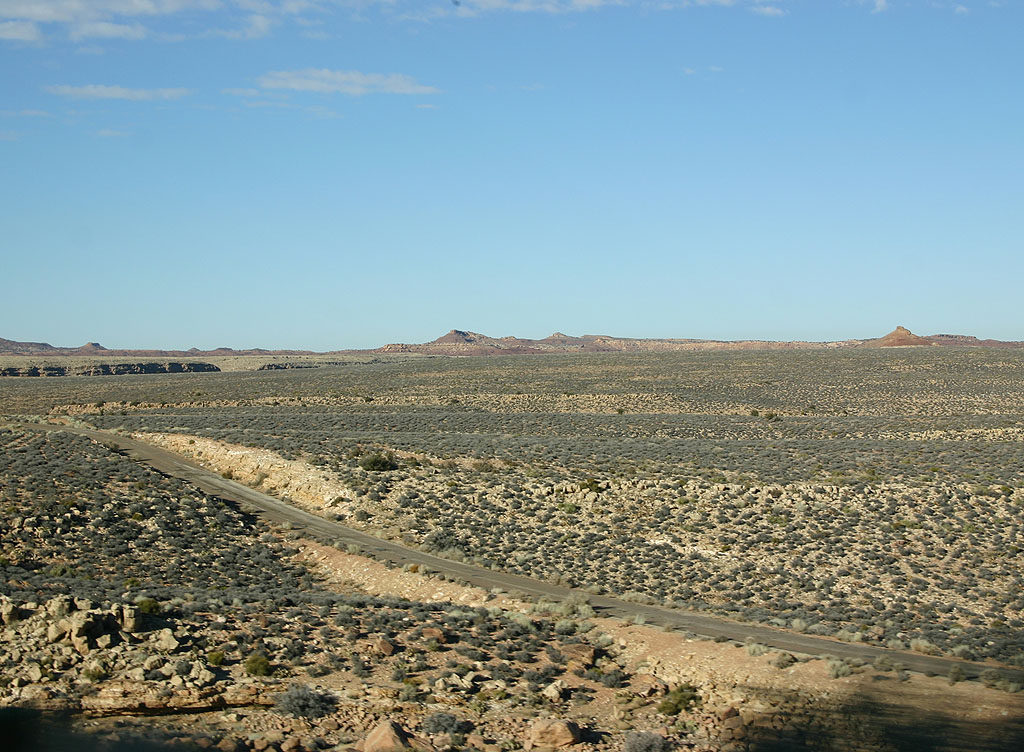
SR 64 hugs the hillside below Gray Mountain and the Coconino Rim.
01/07/11
This is a view down toward the old alignment of SR 64. This alignment was bypassed in 1992.
01/07/11
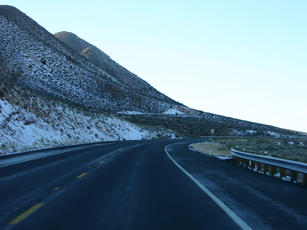
SR 64 travels below Coconino Mountain. The shadows allow winter snow to accumulate next to the road.
01/07/11
SR 64 travels lower than the original (pre-1974) road, and cuts across this canyon.
01/07/11
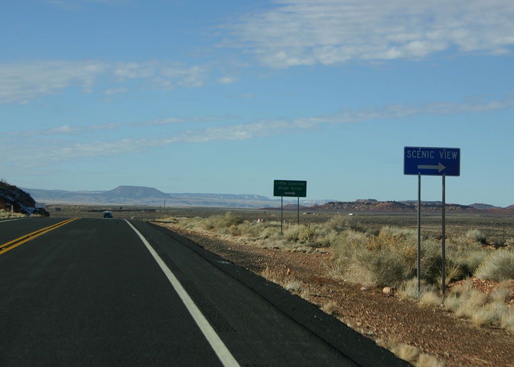
This is the final view of the Little Colorado River gorge that can be seen from SR 64.
01/07/11
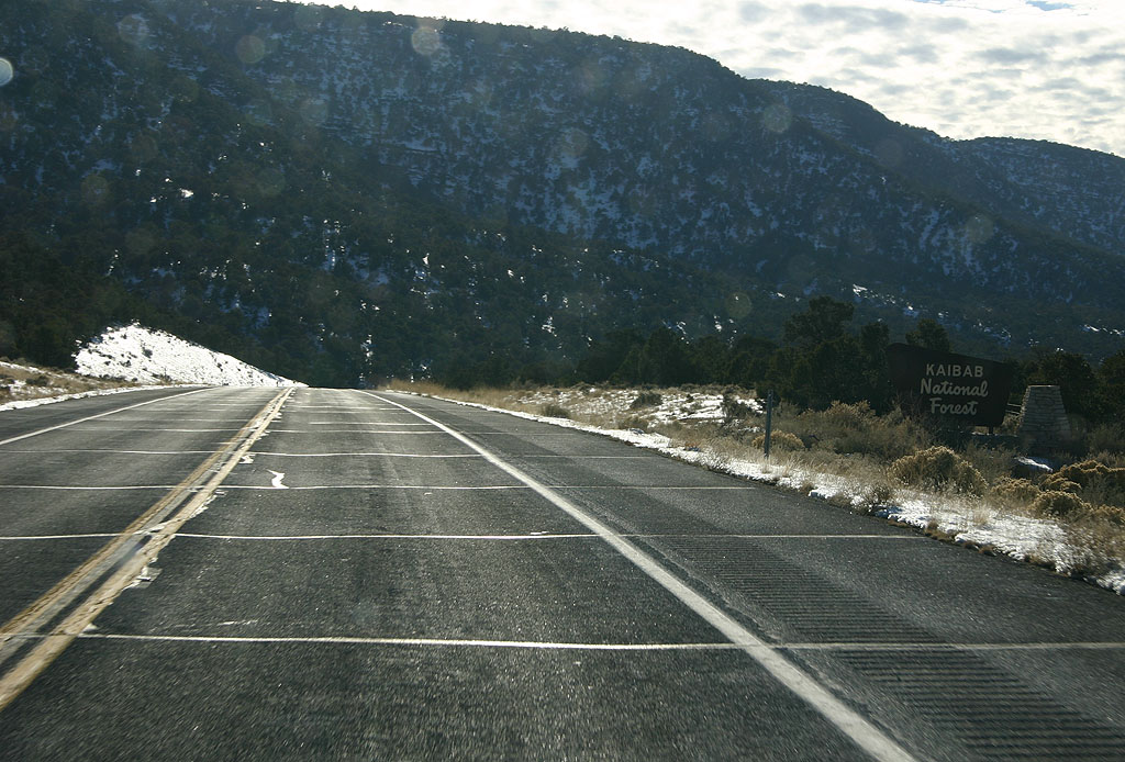
Entering Kaibab National Forest, the 1974 realignment of SR 64 meets up with the original alignment at just over 6,300 feet in elevation.
01/07/11
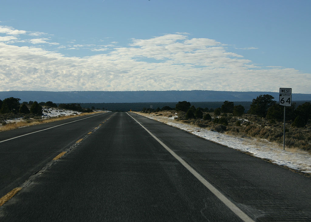
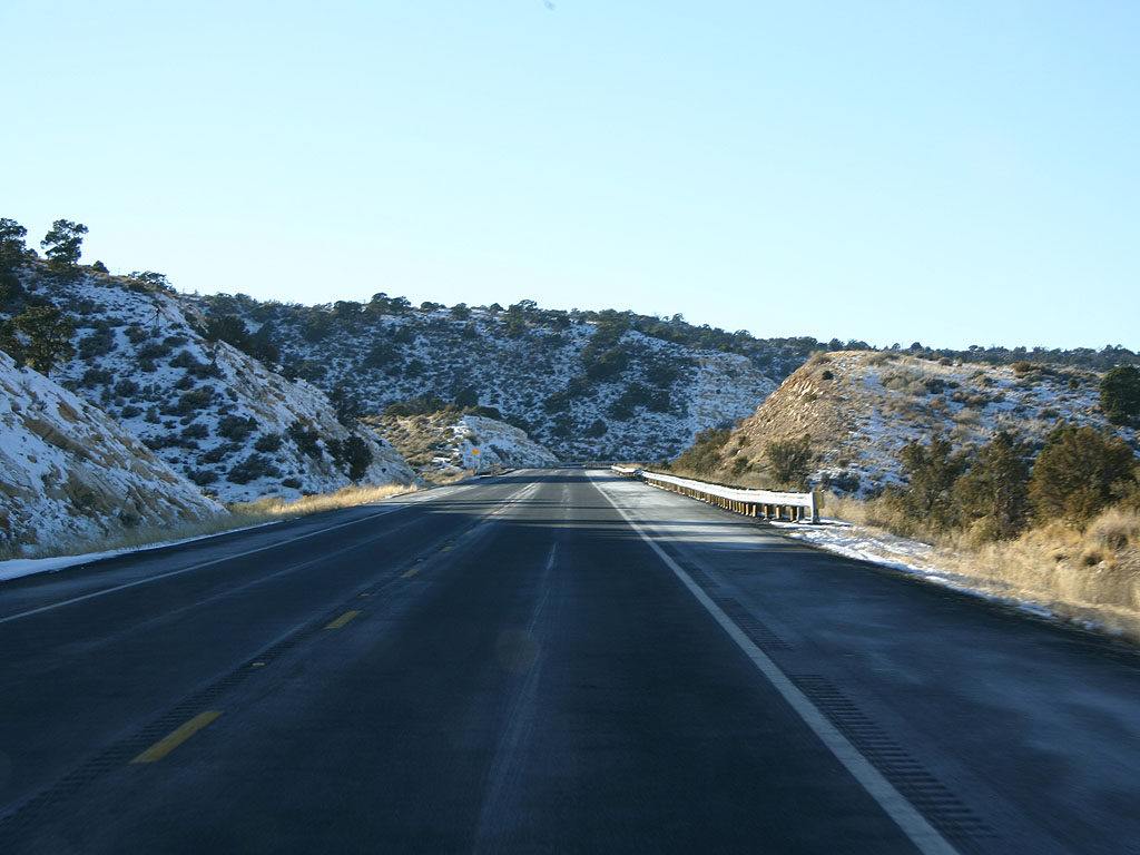
SR 64 takes a steady climb away from the Little Colorado River as it approaches Grand Canyon National Park.
01/07/11
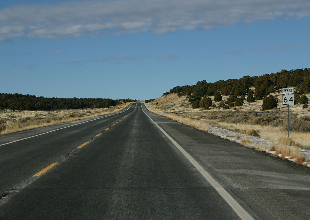
SR 64 travels along the Upper Basin, just below the Coconino rim and above the South Rim of the Grand Canyon. This is the last reassurance marker before entering the National Park.
01/07/11
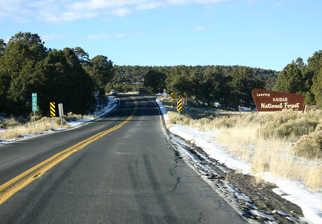
SR 64 leaves the Kaibab National Forest upon reaching Grand Canyon National Park.
01/07/11
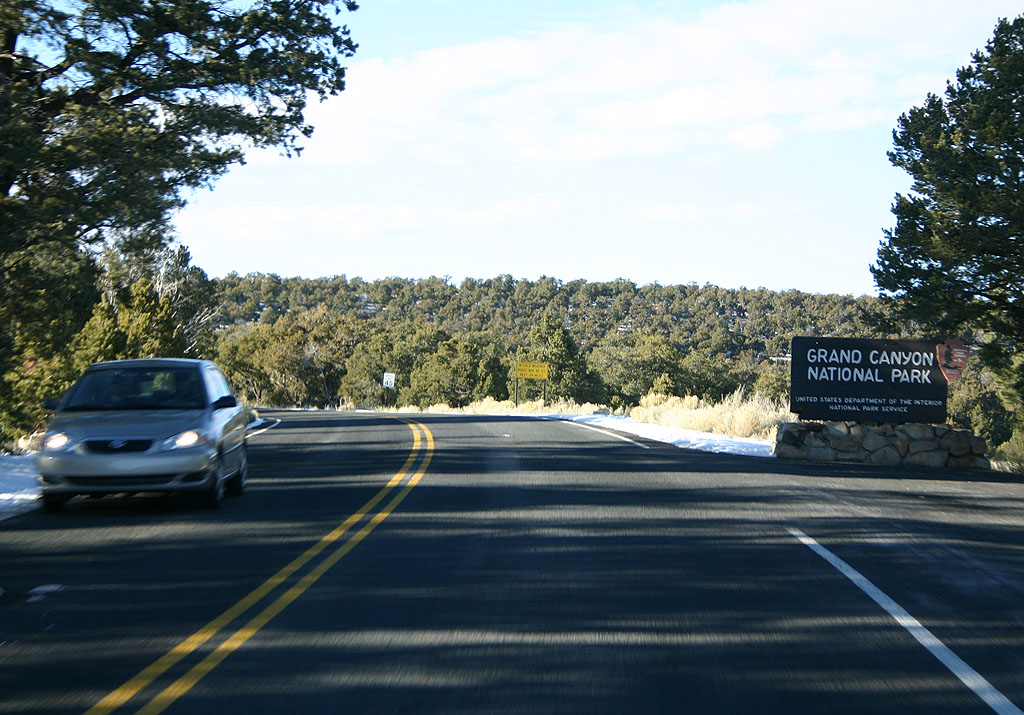
SR 64 enters Grand Canyon National Park here. Through the park, SR 64 is signed, but maintained by the National Park Service.
01/07/11
South
Reassurance marker for SR 64, south of US 180.
01/08/11
Photo Credits:
- Kevin Trinkle: 01/07/11, 01/08/11
Connect with:
Page Updated Monday October 24, 2011.