
Interstate 40

Interstate 40 spanning the Colorado River from an overlook along former U.S. 66 near the western end of the now-demolished Red Rock bridge. - 03/03/2007
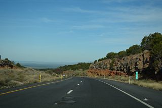
Interstate 40 in Arizona has a much simpler background as compared to I-10 to the south. Interstate 40 enters the Grand Canyon State at Topock, along the Colorado River, and follows the BNSF (formerly the AT&SF) railroad tracks nearly the entire length across the state.
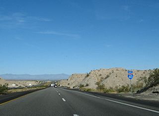
State Route 95 accompanies the freeway east from the Colorado River along an unmarked overlap. I-40 turns north from the state route to the railroad siding of Yucca to reach Kingman, the largest city in northwestern Arizona and childhood home of Andy Devine.
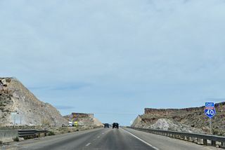
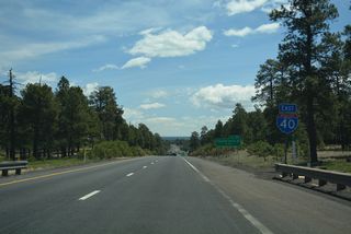
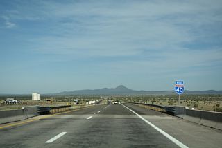
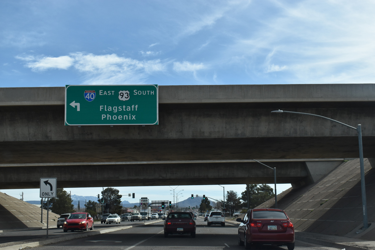
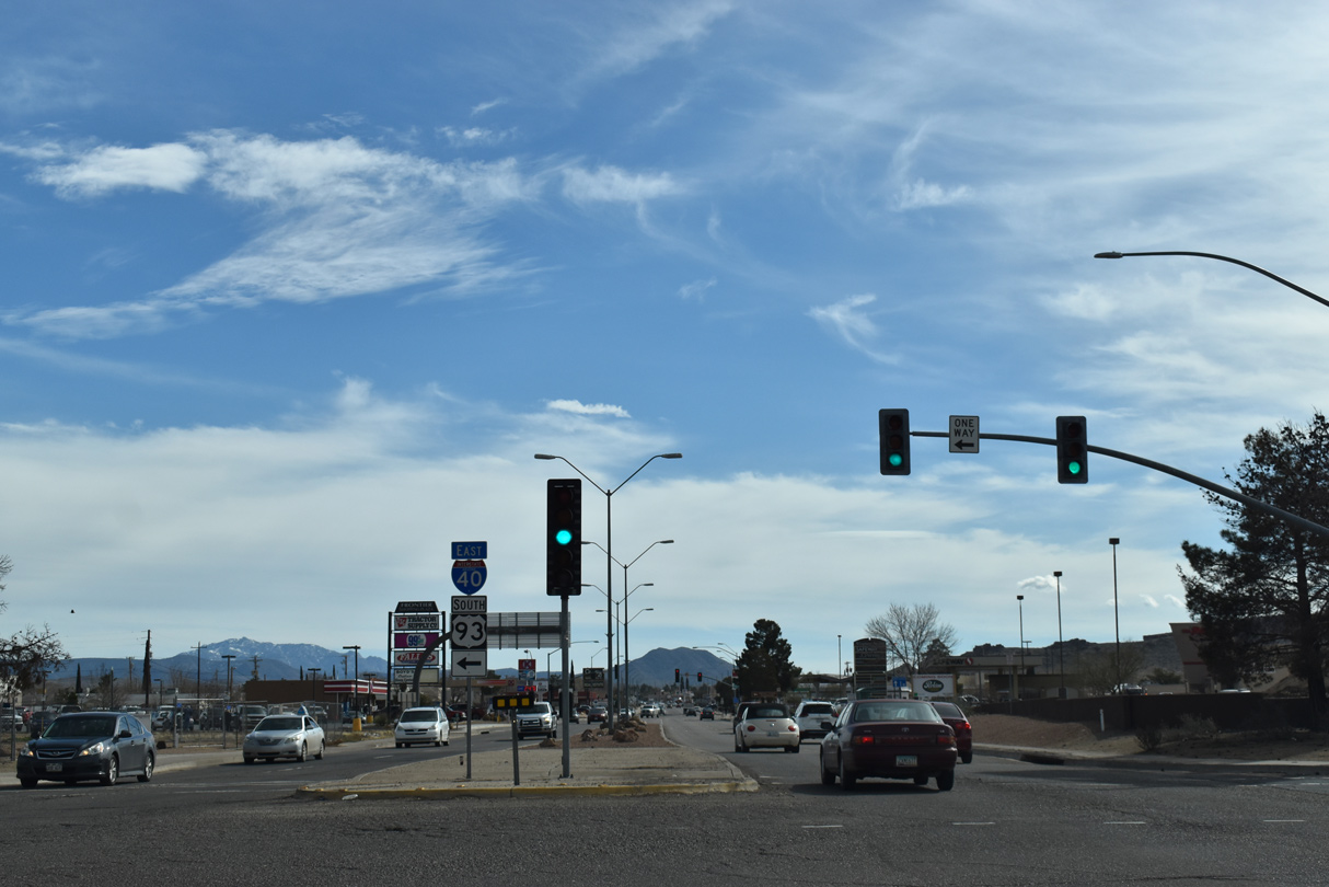
Interstate 40 resumes an eastern heading and overlaps with U.S. 93 and the Future I-11 corridor towards Seligman and Ash Fork. Both communities are railroad towns, but Seligman is more successful than Ash Fork, primarily because of increased tourism. Beyond Ash Fork, I-40 climbs over Ash Fork hill and circumvents the San Francisco Peaks through the high pine forests of Northern Arizona to Williams.
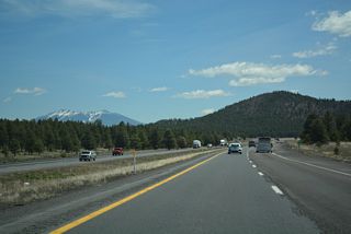
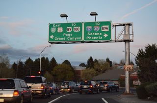
Continuing east from Williams, another railroad town and the gateway to the Grand Canyon, Interstate 40 reaches Flagstaff. Situated at the base of Humphreys Peak, the tallest point in state, Flagstaff is the most important city in Northern Arizona. It is home to Northern Arizona University and the Lowell Observatory.
Passing Flagstaff, Interstate 40 advances east to Winona via Walnut Canyon National Monument, then leaves the pine forests behind as it heads toward Meteor Crater and Winslow. Winslow, like many other towns along Interstate 40, owes it's existence to the railroad, but is now more famous because of the Eagles. "Standin' On A Corner" park was dedicated in 1998.
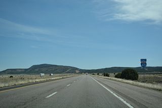
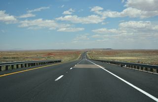
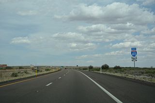
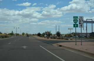
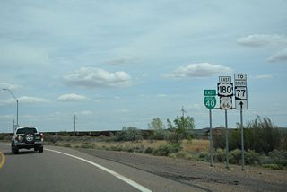
Leaving Winslow, Interstate 40 passes through the high grasslands of Northeastern Arizona, traveling through Joseph City and Holbrook. Beyond Holbrook, Interstate 40 ventures through Petrified Forest National Park and meets US 191 before leaving the state.
Interstate 40 Arizona Guides
East
California to Kingman - 53 photos
Kingman to Yavapai County - 56 photos
Yavapai County to Ash Fork - 54 photos
Ash Fork to Williams - 55 photos
Bellemont to Flagstaff - 55 photos
Winona to Winslow - 72 photos
Joseph City to Holbrook - 76 photos
Apache County to New Mexico - 76 photos
West
Apache County to Holbrook - 39 photos
Joseph City to Winslow - 50 photos
Winslow to Flagstaff - 58 photos
Bellemont to Williams - 75 photos
Ash Fork to Mohave County - 57 photos
Yavapai County to Kingman - 65 photos
Kingman to California - 72 photos


Interstate 40 in Arizona directly replaced the Mother Road - U.S. 66. US 66 was decommissioned in 1985, after the last section of I-40 opened on October 13, 1984. Flagstaff was the first city bypassed, in 1968. The loss of business was so great that Arizona DOT (ADOT) closed the freeway from October 12-28, so new signs could be posted to direct motorists into Flagstaff.
In 1965, there was a proposal to reroute Interstate 40 from Kingman to Searchlight, bypassing Topock. This proposal did not come to fruition, and the Topock route was confirmed in 1966.
Construction Timeline for Interstate 40:
- 1967: Miles 0-2 (Colorado River Bridge to Needle Mtn Road) open.
- 1977: Miles 2-4 (Needle Mtn Rd to East of Needle Mtn Road) open.
- 1972: Miles 4-13 (East of Needle Mtn Road to Franconia Rd) open.
- 1971: Miles 13-26 (Franconia Rd to Proving Ground Rd) open.
- 1966: Miles 26-28 (Proving Ground Rd to Old Trails Rd) open.
- 1965: Miles 28-37 (Old Trails Rd to Griffith Rd) open.
- 1975: Miles 37-44 (Griffith Rd to Oatman Rd) open.
- 1981: Miles 45-52 (Kingman bypass) open.
- 1979: Miles 53-59 (Kingman east to DW Ranch Rd) open.
- 1967: Miles 59-75 (DW Ranch Road to east of U.S. 93) open.
- 1969: Miles 121-139 (Seligman west to Crookton Road) open.
- 1965: Miles 139-144 (Crookton Rd to Ash Fork west) open.
- 1981: Miles 144-148 (Ash Fork bypass) open.
- 1964: Miles 148-155 (County Line Road to before Devil Dog Rd) open.
- 1984: Miles 155-167 (Devil Dog Rd to Garland Prarie Rd, Williams Bypass) open.
- 1963: Miles 167-178 (Garland Prarie Rd to Parks Rd) open.
- 1964: Miles 178-185 (Parks Rd to Bellemont) open.
- 1966: Miles 185-191 (Bellemont to Flagstaff West) open.
- 1967: Miles 191-195 (Flagstaff West to Interstate 17) open.
- 1968: Miles 195-219 (Interstate 17 to Twin Arrows) open.
- 1971: Miles 219-245 (Twin Arrows Rd to SR 99) open.
- 1968: Miles 245-251 (SR 99 to west of Winslow) open.
- 1980: Miles 251-257 (Winslow bypass) open.
- 1960: Miles 257-264 (Current SR 87 to Hibbard Road) open.
- 1967: Miles 264-274 (Hibbard Rd to Joseph City west) open.
- 1981: Miles 274-277 (Joseph City bypass) open.
- 1966: Miles 277-283 (Joseph City east to Perkins Valley Road) open.
- 1980: Miles 283-289 (Holbrook bypass) open.
- 1967: Miles 289-294 (Holbrook east to Sun Valley Rd) open.
- 1963: Miles 294-303 (Sun Valley Rd to Adamana Rd) open.
- 1961: Miles 303-320 (Adamana Road to Pinto Road, through Petrified Forest NP).
- 1963: Miles 320-335 (Pinto Rd to past U.S. 191 west) open.
- 1965: Miles 335-343 (East of U.S. 191 west to Querino Rd) open.
- 1966: Miles 343-354 (Querino Rd to Hawthorn Rd) open.
- 1961: Miles 354-359 (Hawthorn Rd to New Mexico) open.
Interstate 40 Business Routes


The Business Loops along Interstate 40 in Arizona are all former sections of U.S. 66. Originally, Business Loops were established in order:
 Historic U.S. 66 / Former Business Loop I-40 - Kingman
4.0 miles
 Business Loop I-40 - Seligman
4.1 miles
 Business Loop I-40 - Ash Fork
1.5 miles
 Business Loop I-40 - Williams
4.0 miles
 Business Loop I-40 - Flagstaff
9.5 miles
 Business Loop I-40 - Winslow
3.6 miles
 Business Spur I-40 - Winslow
1.35 miles
 Business Loop I-40 - Joseph City
2.7 miles
 Business Loop I-40 - Holbrook
4.8 miles
The business loop through Kingman was decommissioned in 2003. State maintenance along the business route in Flagstaff was dropped between Fanning Drive and I-40 in 2005. Business Loop I-40 through Winslow was turned over to local maintenance in 2007. The business route through Williams is also locally maintained.
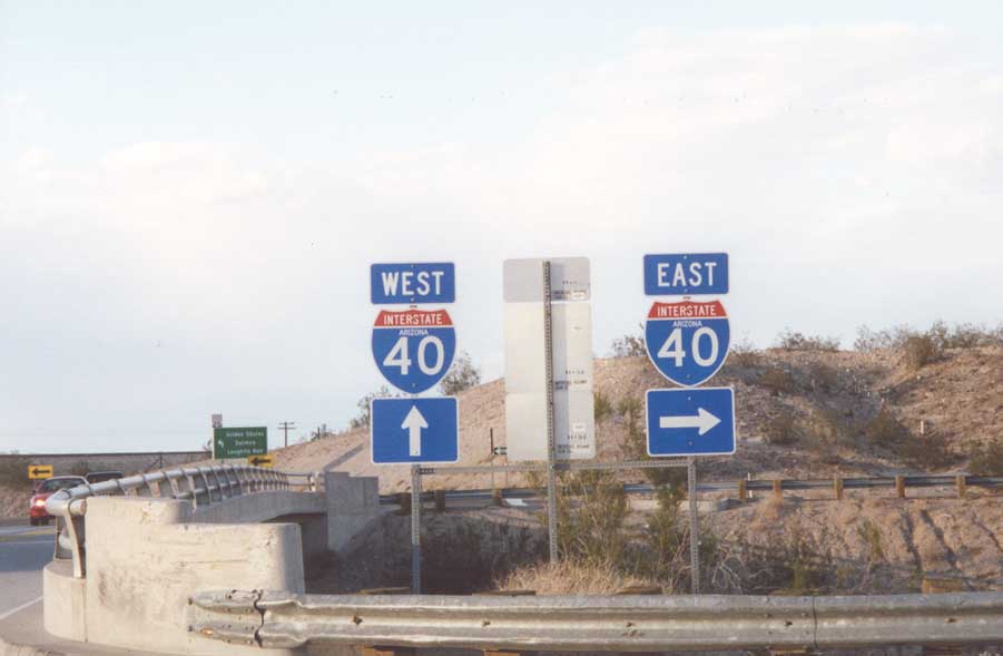
Historic U.S. 66 (Topock Road) at the westernmost interchange for Interstate 40 in Arizona.
11/11/00
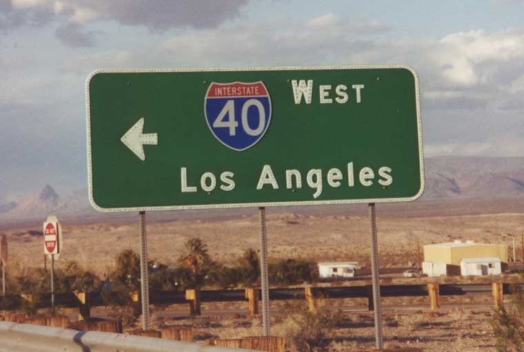
The westbound control city for Interstate 40 from Flagstaff to the California state line is Los Angeles, despite I-40 ending at I-15 in Barstow. This assembly was posted at Topock (Exit 1).
11/11/00
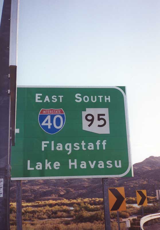
Historic U.S. 66 (Topock Road) westbound at I-40 by the Colorado River. SR 95 south was removed from a replacement of this sign at the eastbound entrance ramp, though Lake Havasu remains.
11/11/00
Stockton Hill Road south at I-40/U.S. 93 in the city of Kingman.
03/01/19
Photo Credits:
- Andy Field: 11/11/00
- Brent Ivy: 03/01/19
Connect with:
Page Updated Monday April 04, 2022.