
State Route 266
Arizona 266 travels from US 191 west through the Coronado National Forest to the town of Bonita. The road was added to the state highway system in 1958. There is a short spur off Arizona 266 to Fort Grant State Prison.
 West
West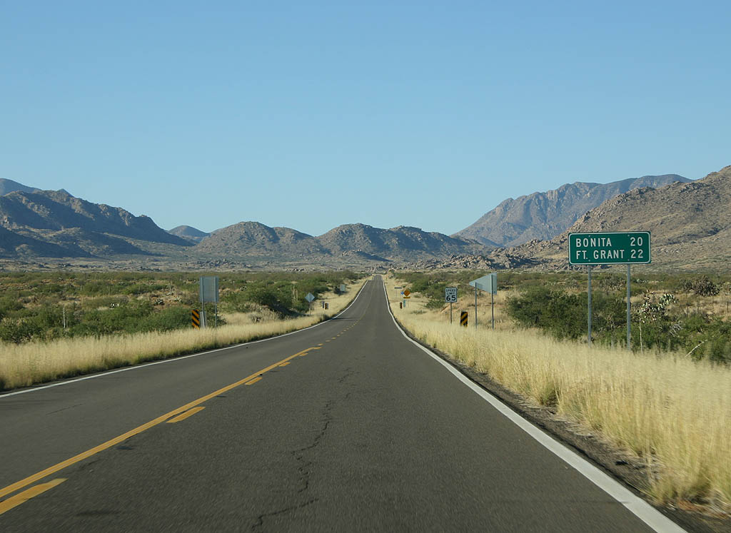
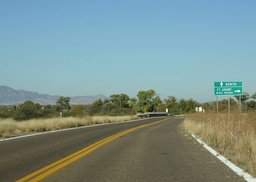
Distance sign to Bonita (20 miles) and Fort Grant (22 miles).
11/11/07
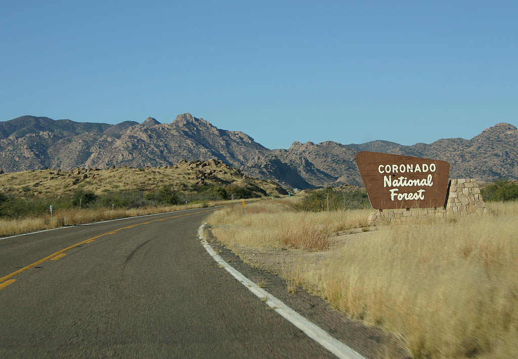
SR 266 enters the Coronado National Forest just after splitting off from U.S. Highway 191.
11/11/07
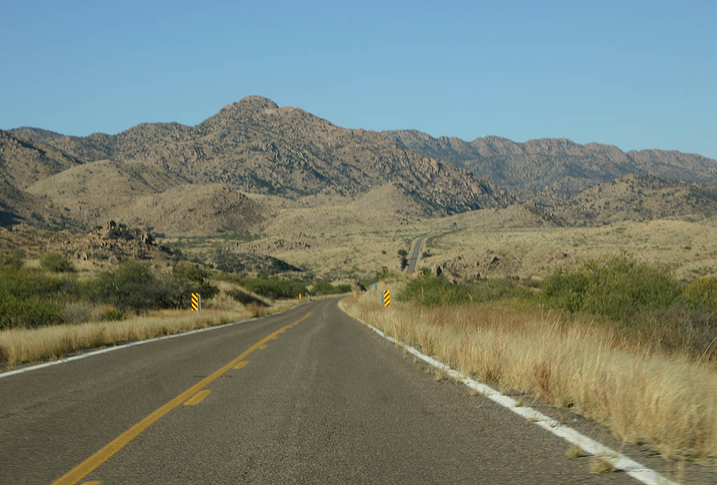
SR 266 climbs up P Ranch Canyon around Gillespie Mountain.
11/11/07
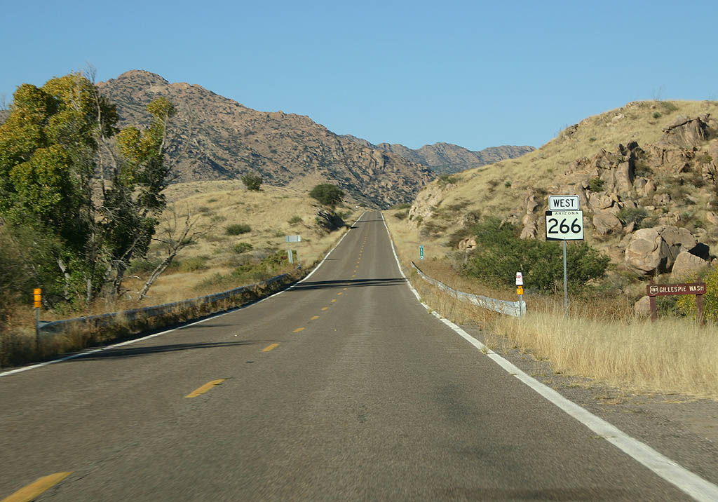
Westbound SR 266 crosses Gillespie Wash here.
11/11/07
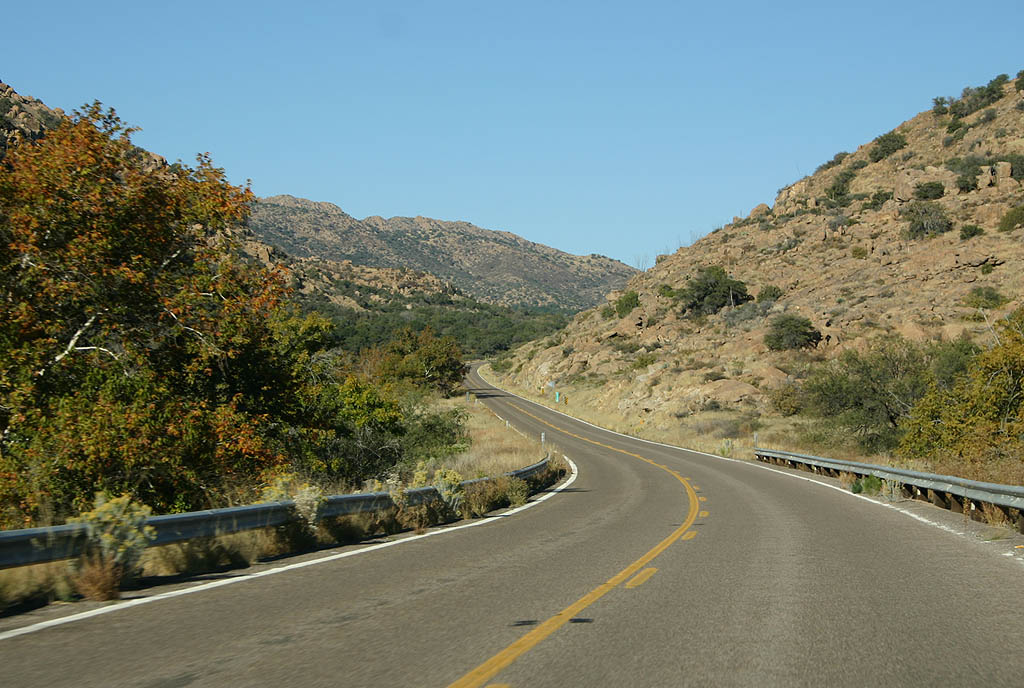
After crossing Gillespie Wash, SR 266 climbs parallel to Stockton Pass Wash.
11/11/07
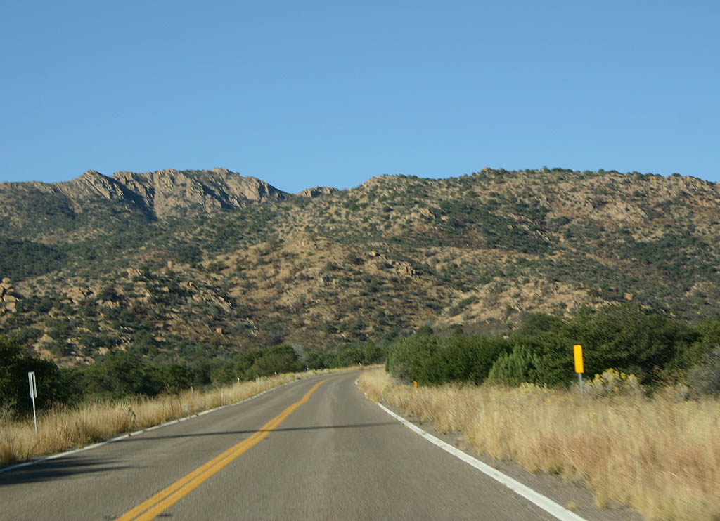
SR 266 crosses to the CN wash drainage as it winds around the southern slopes of Mt. Graham.
11/11/07

Distance sign to Ft. Grant and Bonita. SR 266 is passing through Stockton Pass, at an elevation of 5,650 feet.
11/11/07
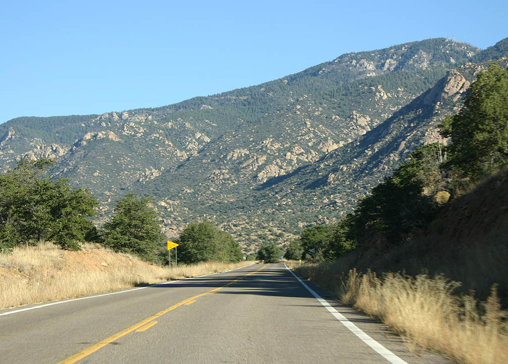
On the west side of Stockton Pass, SR 266 meets the Mothers Canyon drainage.
11/11/07
SR 266 descends a wide grassy alluvial fan as it approaches Bonita.
11/11/07
SR 266 meets Arizona Spur 266 here. Continue west on SR 266 to reach Bonita, or turn right to reach Fort Grant State Prison.
11/11/07
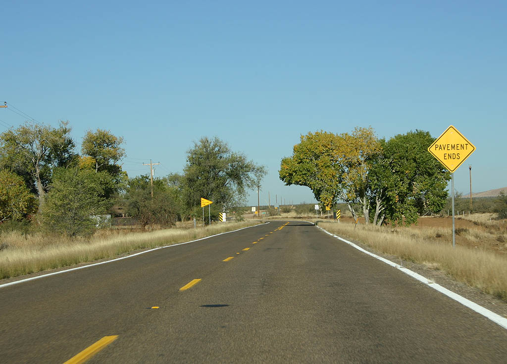
This sign is the first warning that SR 266 is about to end.
11/11/07
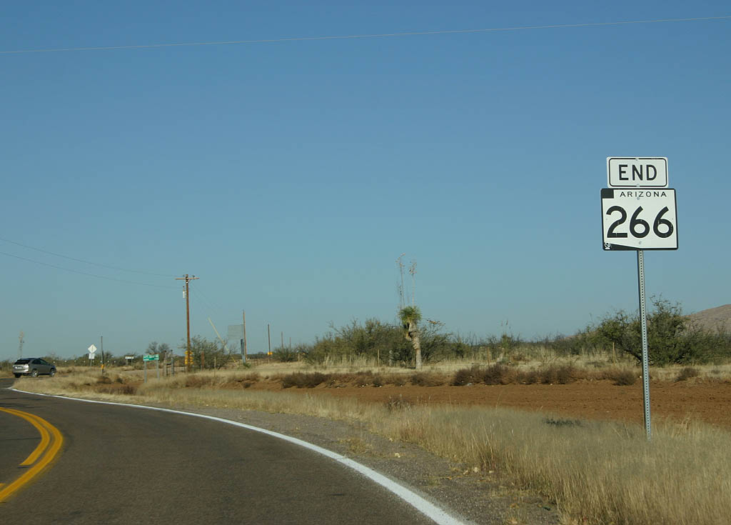
SR 266 ends abruptly here, just east of the small community of Bonita.
11/11/07
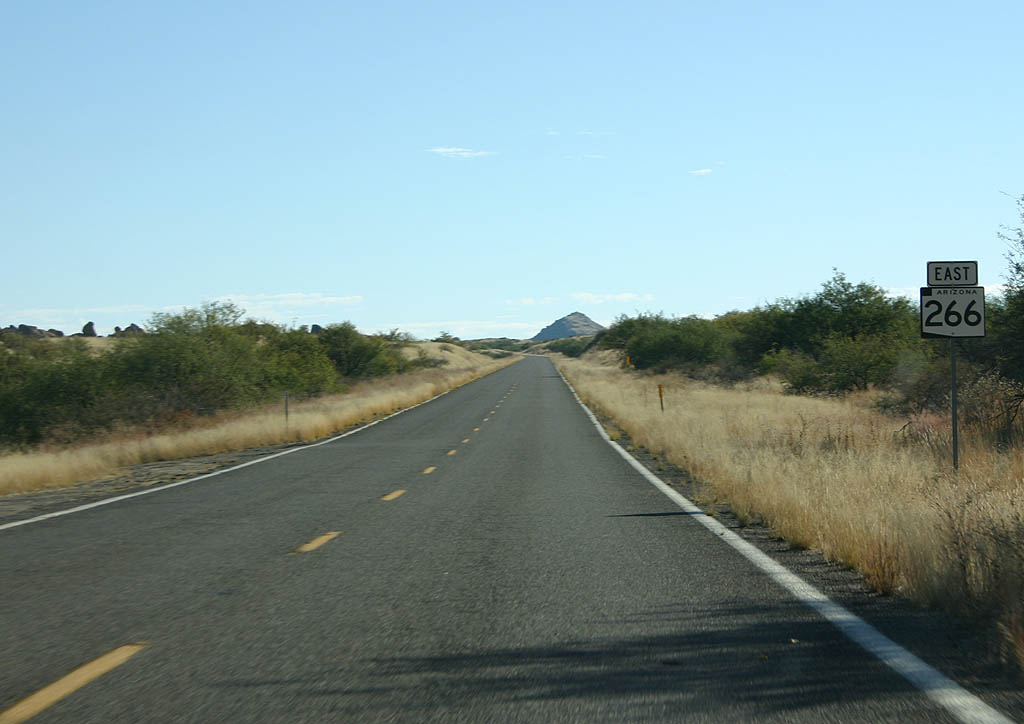
East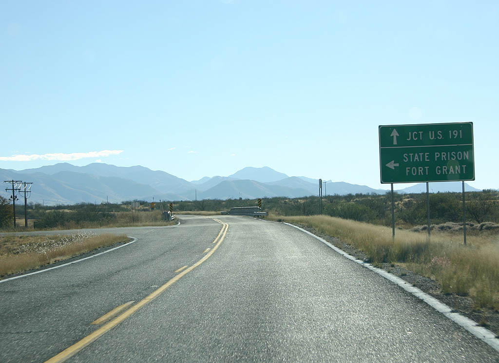
SR 266 meets Arizona Spur 266 here. Turn left to reach Fort Grant State Prison, or continue ahead to reach U.S. 191.
11/11/07
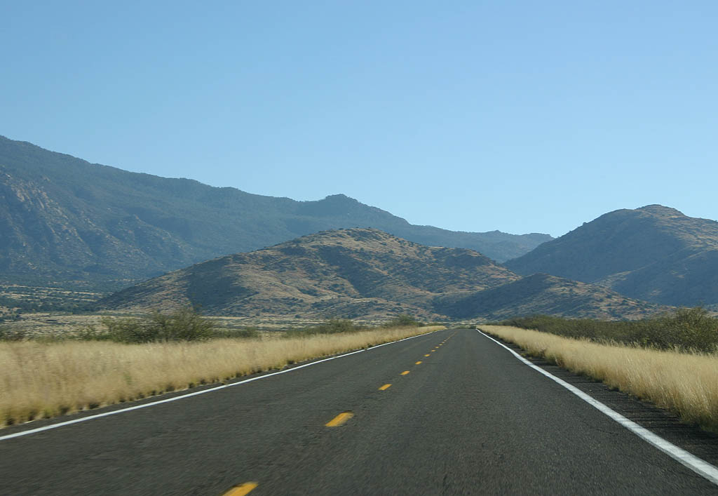
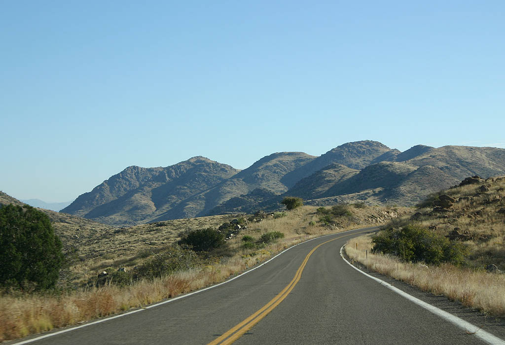
SR 266 crosses a wide plain ahead of the Pinaleño mountain range foothills.
11/11/07
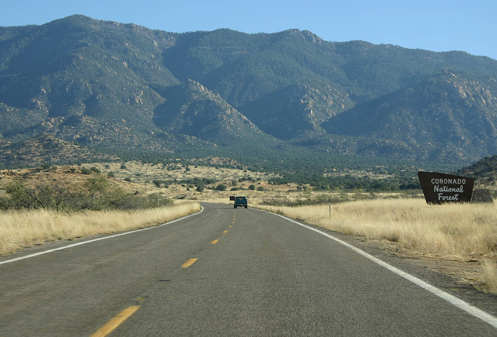
SR 266 enters the Coronado National Forest here.
11/11/07
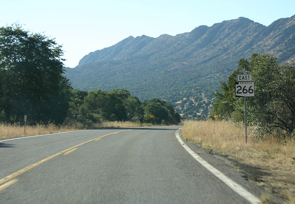
Climbing up Pitchfork Canyon, we find the first Arizona 266 shield.
11/11/07
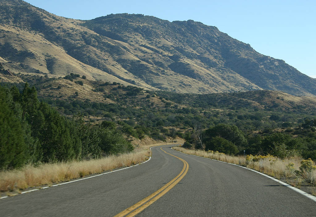
Now in Mothers Canyon, we can see Mt. Graham off to our left. SR 366 is several thousand feet above us on that slope.
11/11/07
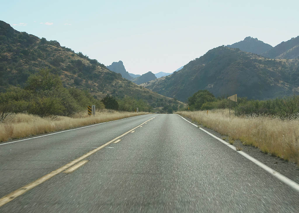
Now at the top of Stockton Pass, we see the rugged Pinaleño mountain range in the background.
11/11/07
SR 266 passes through the CN Wash drainage here.
11/11/07
SR 266 crosses Gillespie Wash here. This is the last reassurance marker eastbound.
11/11/07
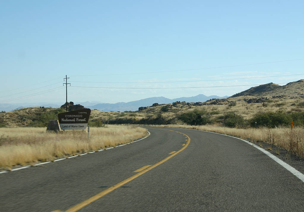
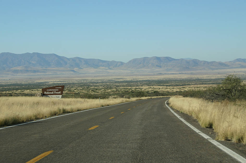
SR 266 leaves the Coronado National Forest here.
11/11/07
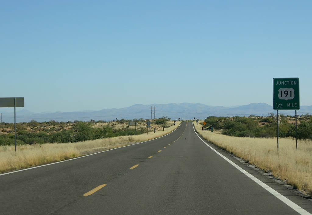
Advance signage for U.S. 191, 1/2 mile.
11/11/07
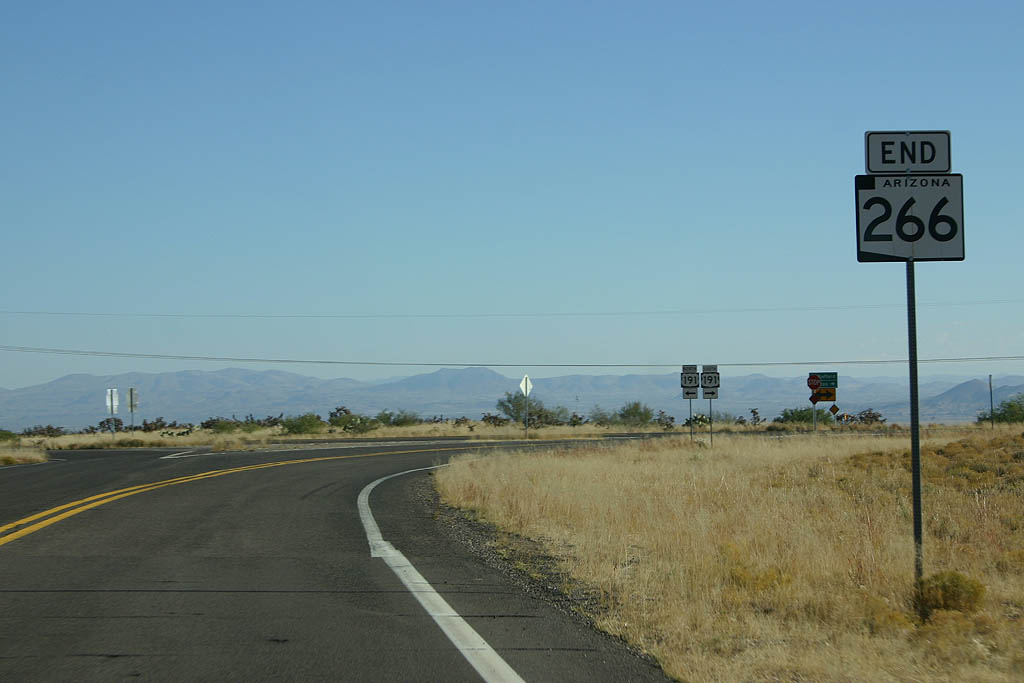
SR 266 ends at U.S. Highway 191, as noted on this end shield.
11/11/07
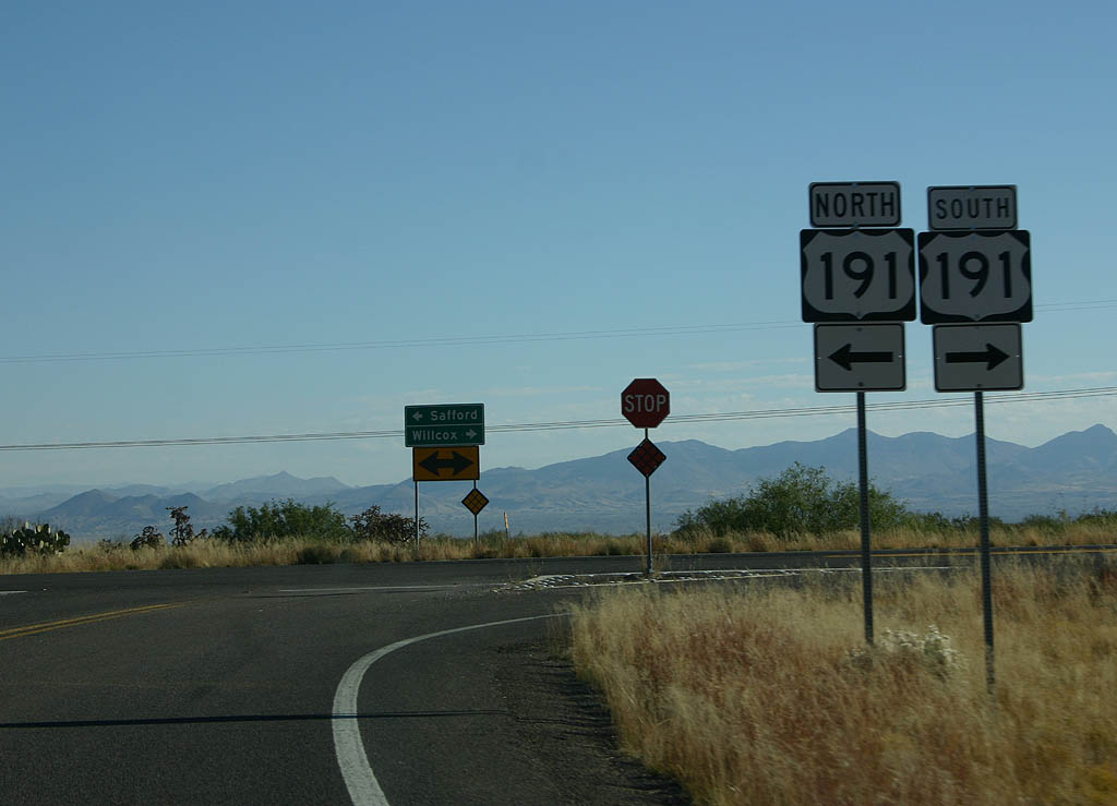
SR 266 ends at U.S. 191. Turn left for U.S. 191 north to Safford, or right for U.S. 191 to Interstate 10.
11/11/07
Spur - North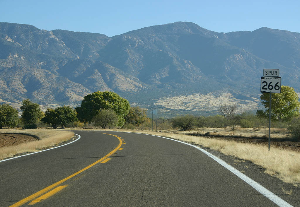
This is the only shield on SR 266 Spur. The route travels from SR 266 north to Fort Grant State Prison.
The state route includes a turnaround designed for motorists not intending to travel to the state prison. Beyond that point, SR 266 Spur enters State Prison property.
11/11/07
Spur - South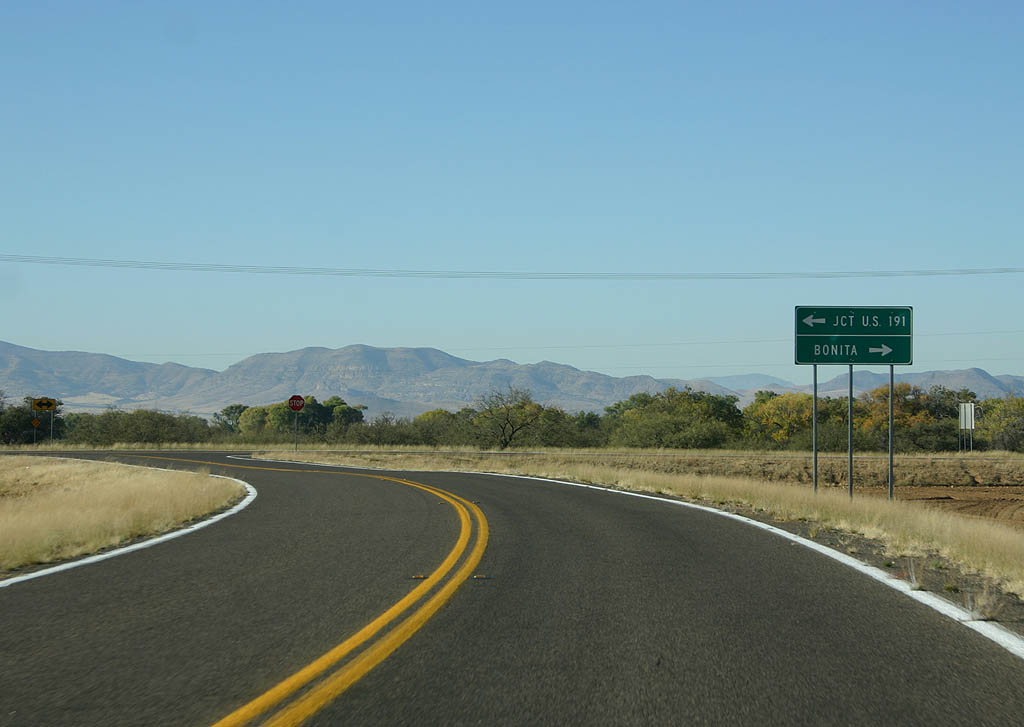
SR 266 Spur ends here, at SR 266. Turn left to reach U.S. 191, or turn right to reach Bonita.
11/11/07
Photo Credits:
- Kevin Trinkle: 11/11/07
Connect with:
Page Updated Friday November 23, 2007.