
State Route 1 North - Huntington Beach to Seal Beach
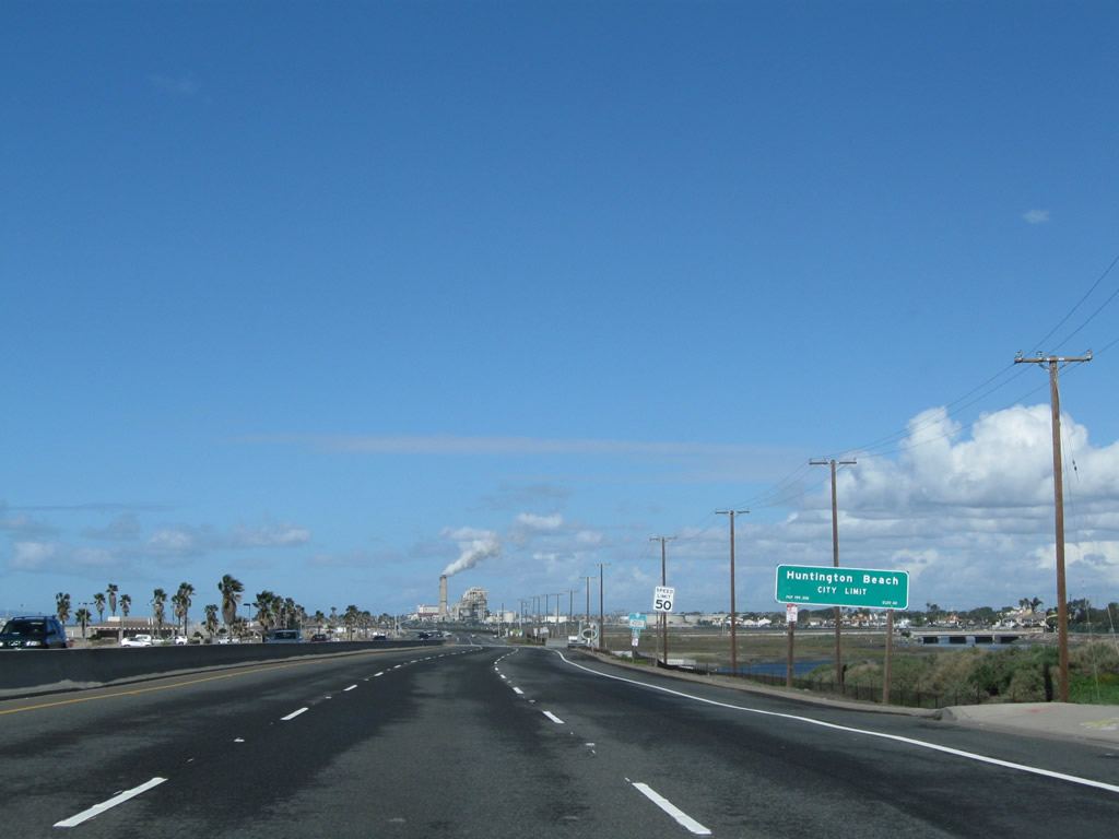
After crossing the Santa Ana River, northbound California 1 (now known as Pacific Coast Highway once again) enters the city of Huntington Beach, "Surf City USA." Incorporated on February 17, 1909, Huntington Beach had a population of 202,566 as of the 2010 Census. With wide, sandy beaches and a vibrant downtown area adjacent to a fishing pier, Huntington Beach attracts beachgoers and tourists from all over Southern California.
02/26/11
A welcome sign asserts Huntington Beach's title as Surf City USA. A trademark dispute in 2008 pitted Huntington Beach against Santa Cruz for the title of Surf City USA, and Huntington Beach emerged as the victor in this dispute. The trademark is officially held by the Huntington Beach Conference and Visitors Bureau. Adjacent wetlands offer a relief from the urban development seen to the southeast in Newport Beach and to the northwest in downtown Huntington Beach.
10/24/09
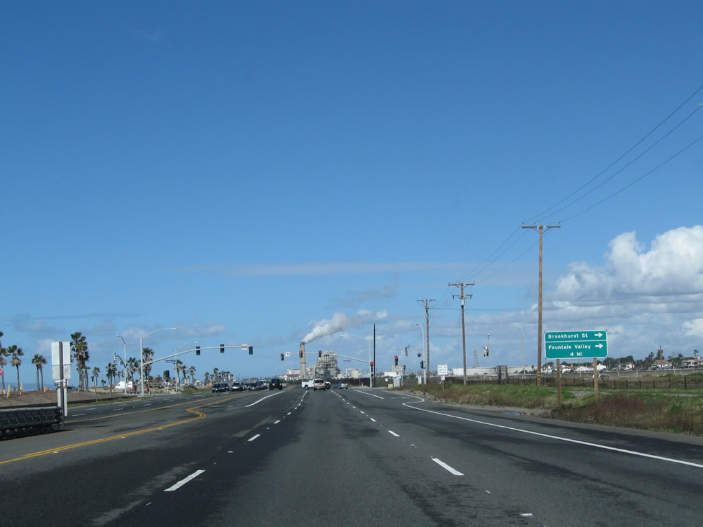
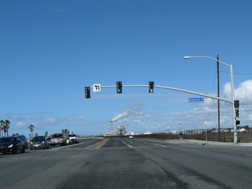
The next signalized intersection along California 1 (Pacific Coast Highway) north is with Brookhurst Street, which travels north to Fountain Valley. Brookhurst Street travels north parallel to the Santa Ana River toward a junction with Interstate 405.
02/26/11
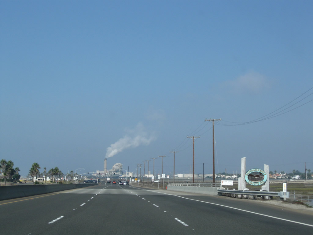
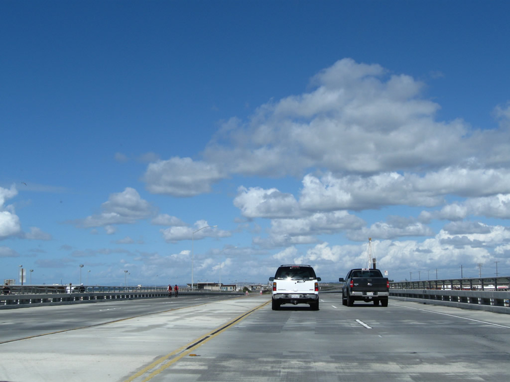
This section of California 1 (Pacific Coast Highway) functions like an expressway, with regularly spaced intersections. On the west side of the highway is Huntington State Beach, which extends along the Pacific Coast parallel to California 1 between the Santa Ana River outlet northwest to California 39.
02/26/11
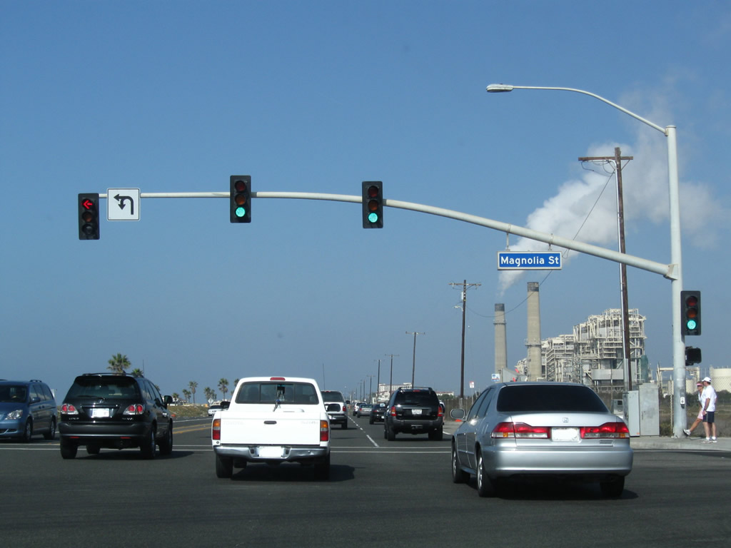
Northbound California 1 (Pacific Coast Highway) meets Magnolia Street at this traffic signal. Magnolia Street also travels north toward Edison Community Park and the city of Fountain Valley.
10/24/09
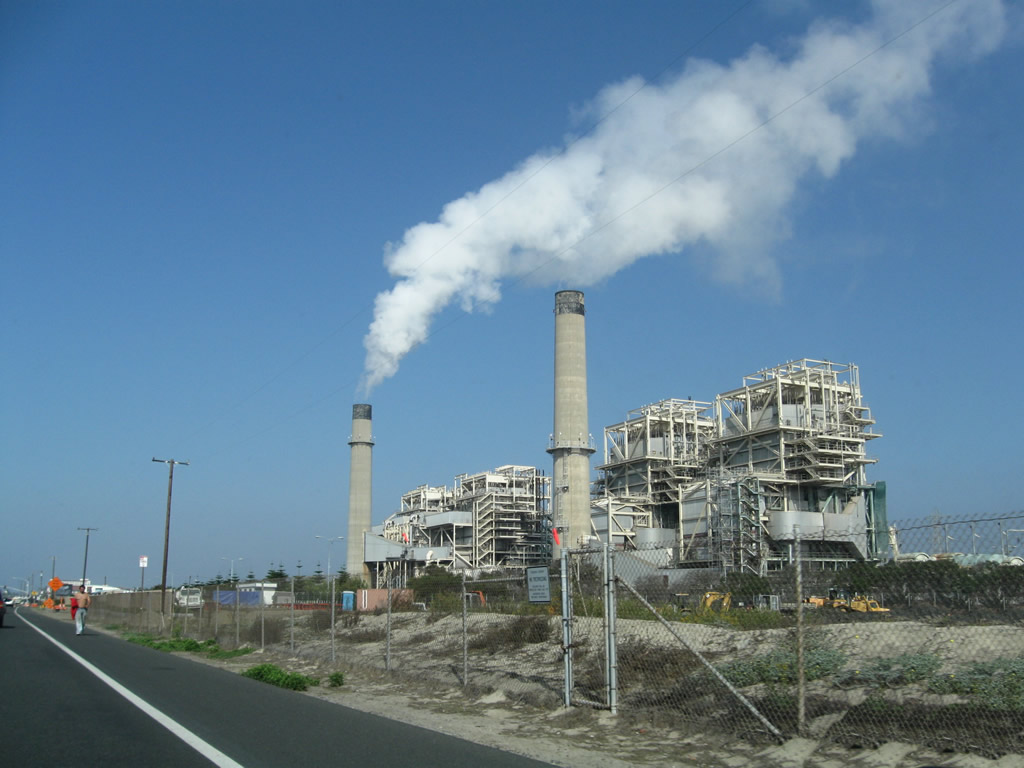
The Huntington Beach Generating Station (HBGS) lines the east side of the Pacific Coast Highway as on the northbound approach to Downtown Huntington Beach. This power plant, which was operated by Southern California Edison until electricity was deregulated, is now maintained by AES. Powered by natural gas, the plant uses steam turbines to generate electricity.
10/24/09
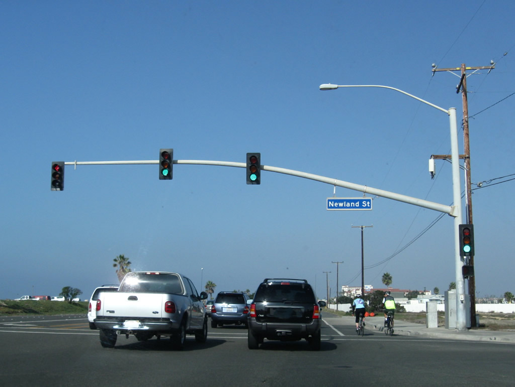
Northbound California 1 (Pacific Coast Highway) meets Newland Street at this traffic signal.
10/24/09
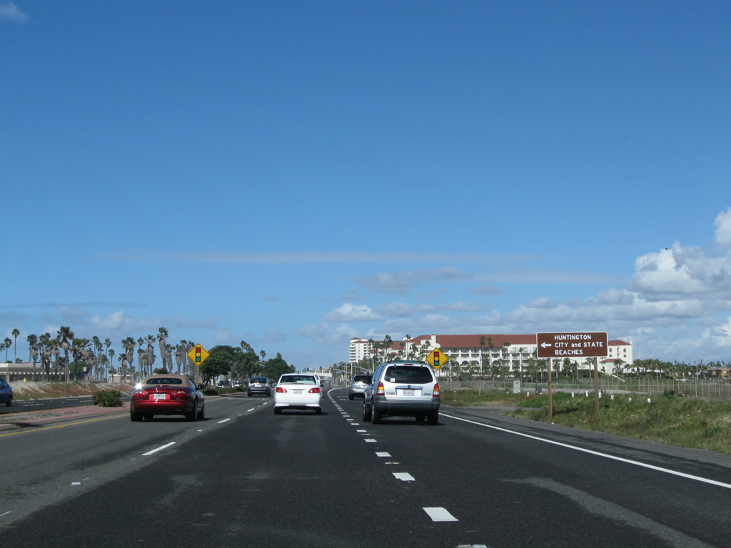
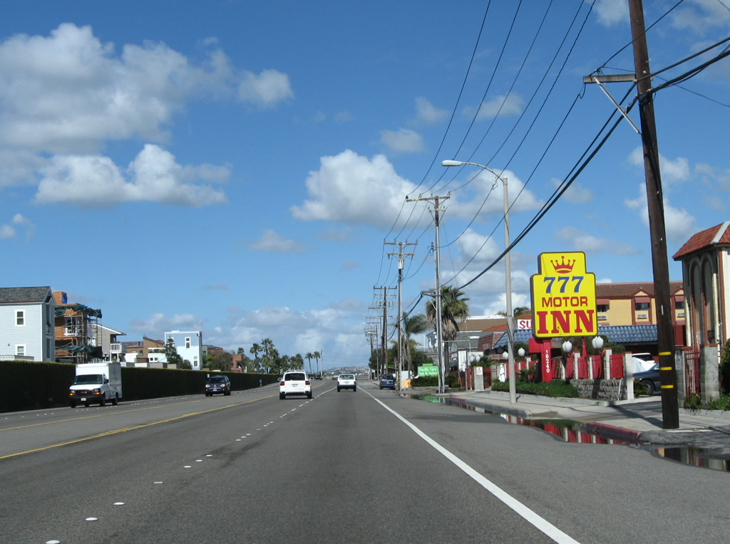
The next signalized intersection along California 1 (Pacific Coast Highway) north is with the south end of California 39 (Beach Boulevard). As of Fall 2009, there were no advance route markers for California 39 posted on California 1 north; that changed by Winter 2011.
02/26/11
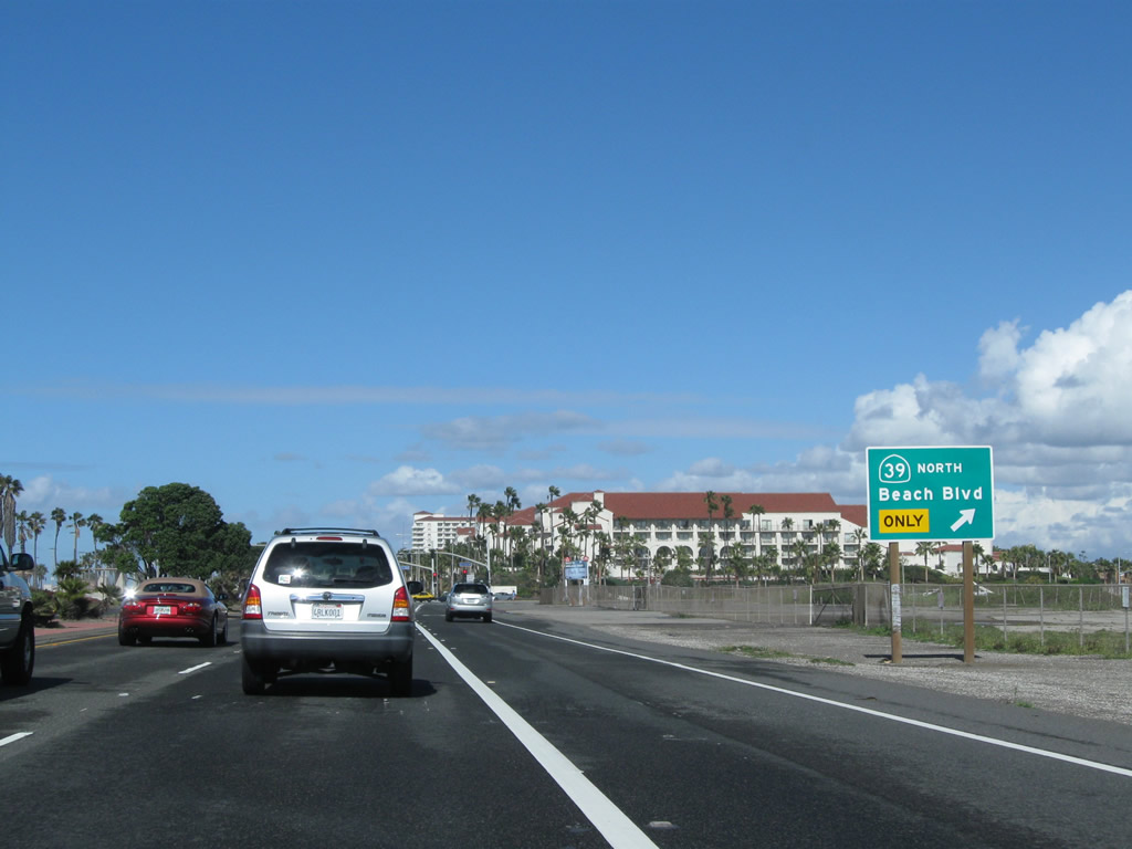
The intersection joining California 1 and California 39 also links with the entrance to Huntington State Beach and Huntington City Beach. The city beach continues north of this point toward downtown Huntington Beach. California 39 heads north through Huntington Beach toward Westminster, Garden Grove, Stanton, Buena Park and La Habra.
02/26/11
Plans originally called for both California 1 and California 39 to be freeways, and had those plans come to fruition, a major freeway-to-freeway interchange would have been built somewhere near here for the connection between the two. Some proposals from the 1960s even showed portions of California 1 freeway being constructed offshore to minimize impact on the beach itself.
10/24/09
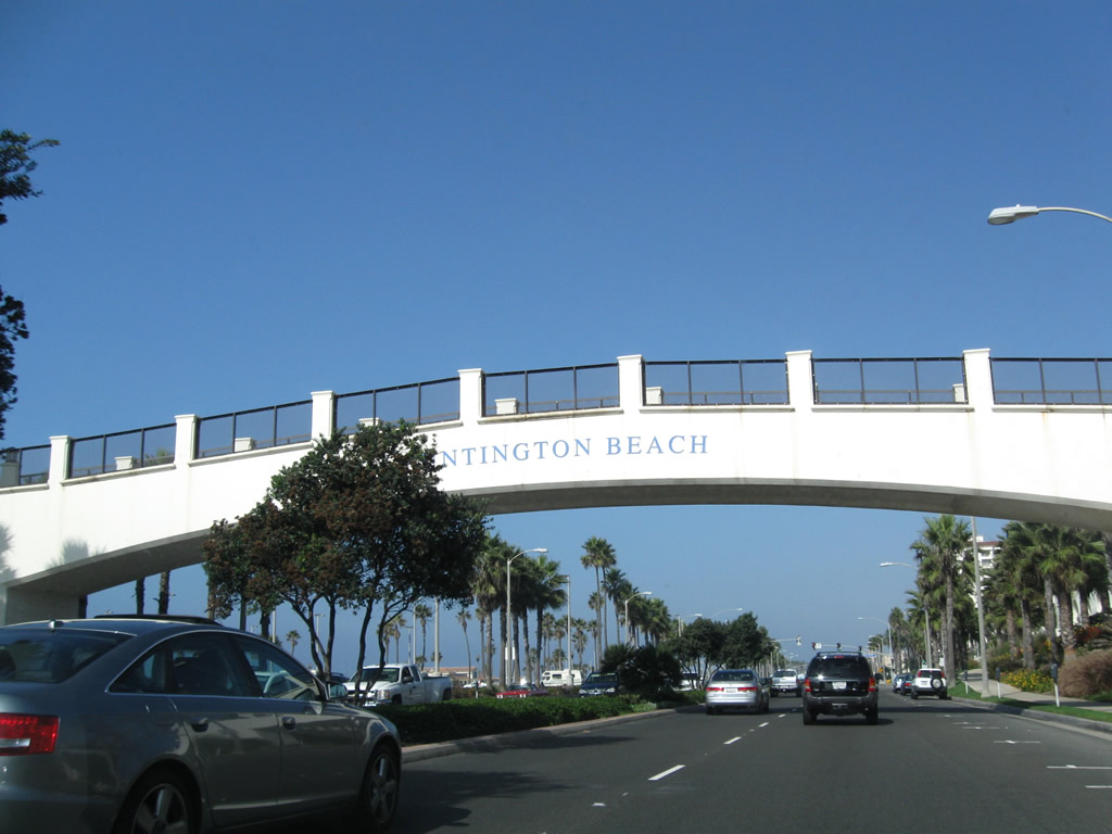
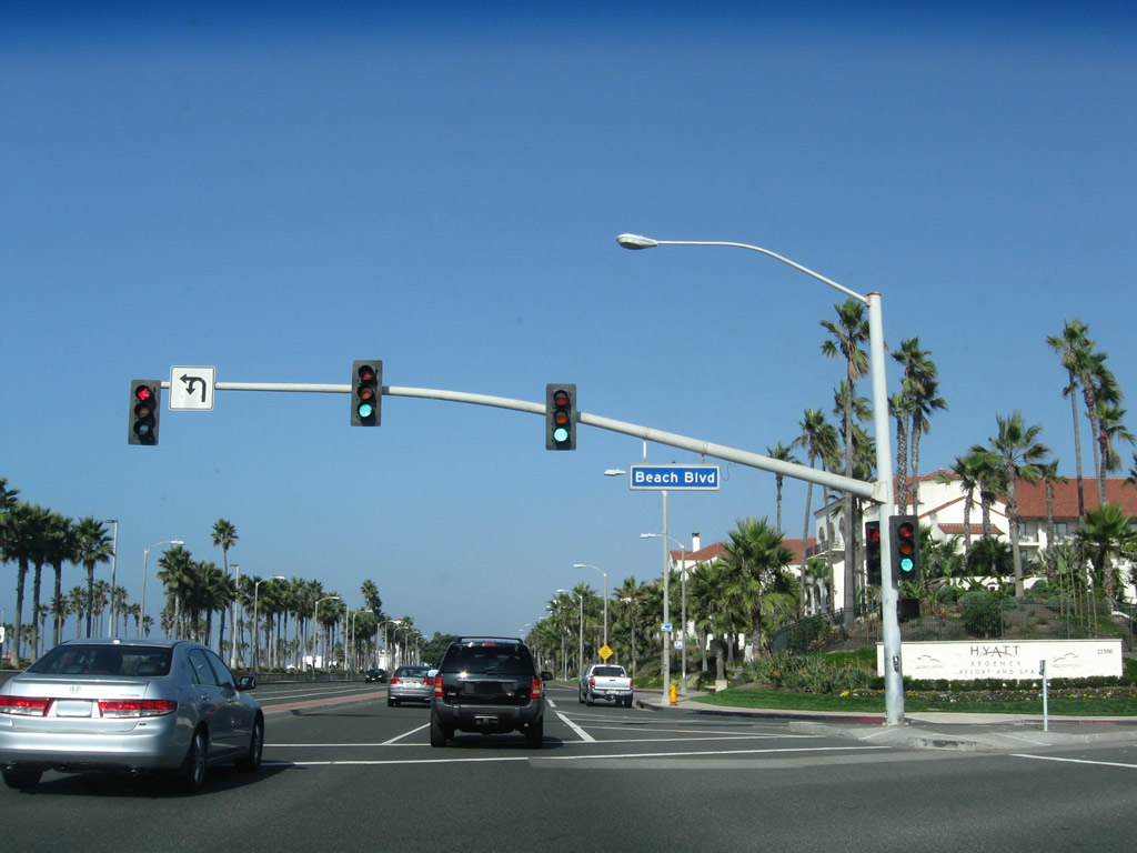
This arch bridge allows pedestrians to cross over the Pacific Coast Highway safely; some pedestrians are beachgoers from the nearby Hyatt Regency Hotel.
10/24/09
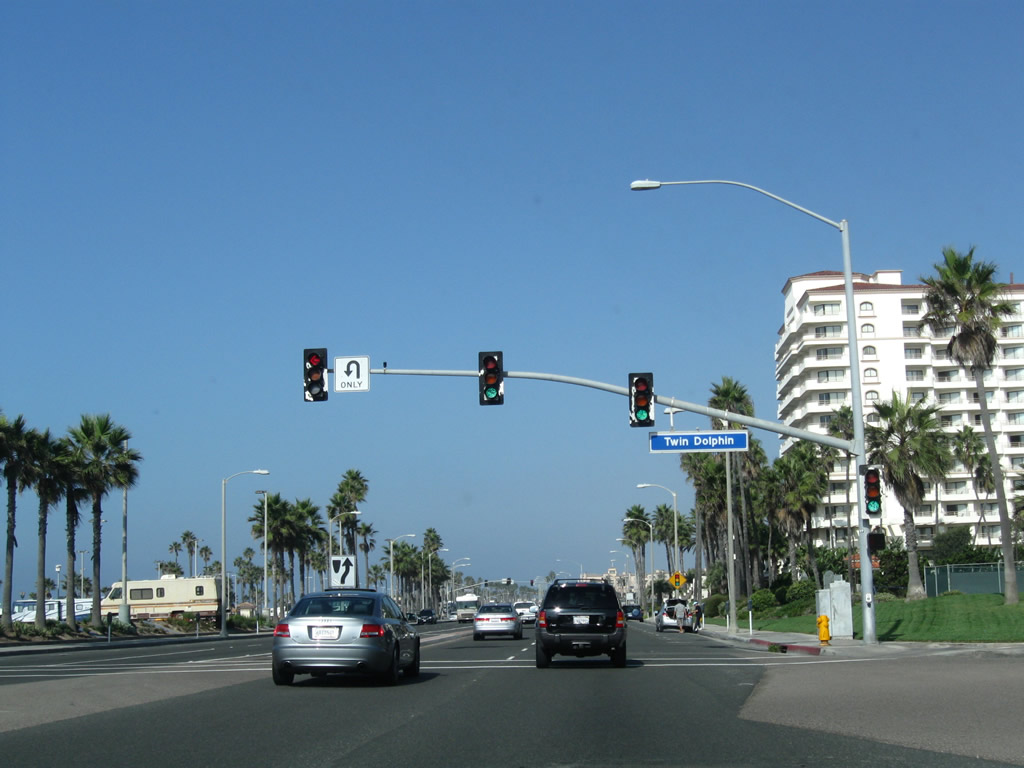
Northbound California 1 (Pacific Coast Highway) meets Twin Dolphin Drive. The towering Waterfront Hilton comes into view ahead on the right.
10/24/09
Leaving the Huntington Street intersection (home of the Ultimate Challenge statue), northbound California 1 (Pacific Coast Highway) proceeds into downtown Huntington Beach.
02/26/11
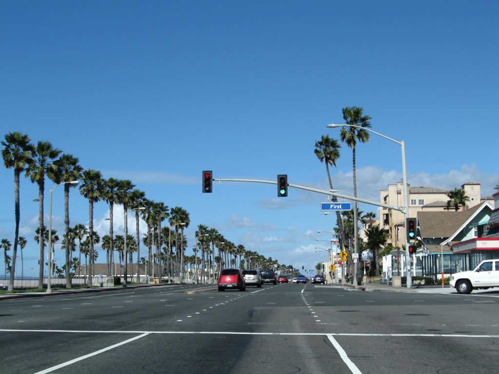
Northbound California 1 (Pacific Coast Highway) meets First Street.
02/26/11
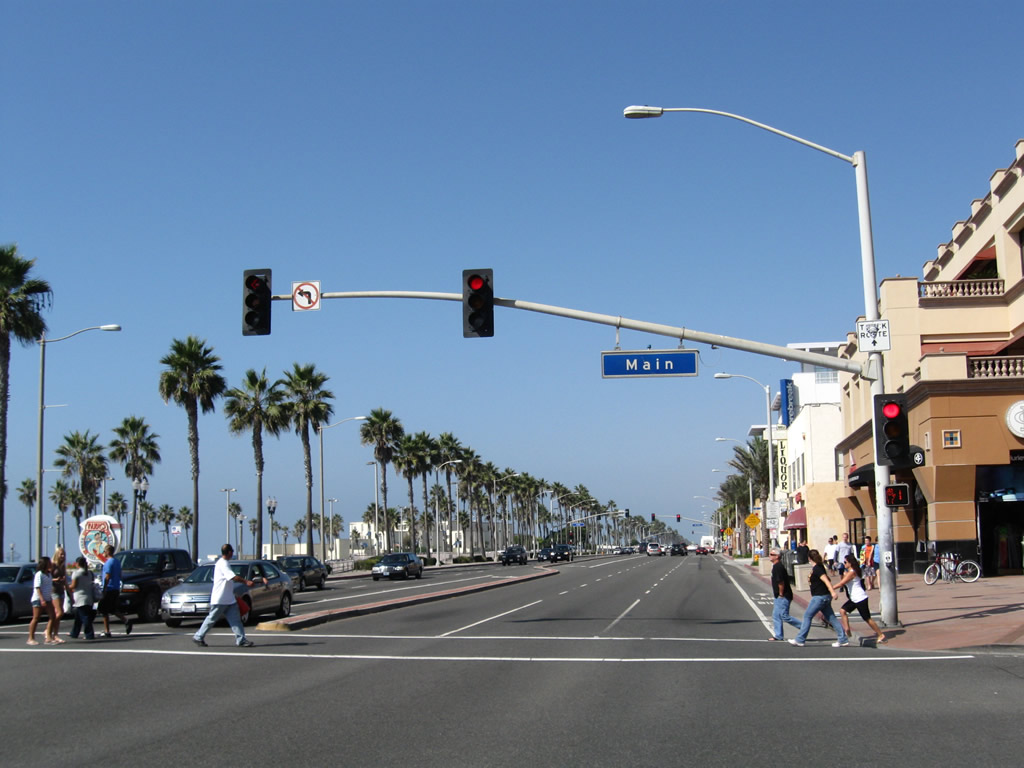
After passing First Street, northbound California 1 (Pacific Coast Highway) meets Main Street in downtown Huntington Beach. Turn right onto Main Street north to the central business district, complete with restaurants, bars, and gift shops. On-street parking and parking lots are available. The Huntington Beach Pier, which extends southwest over the ocean, offers fishing and sightseeing opportunities. The pier begins at this intersection.
10/24/09
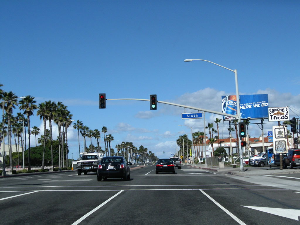
Northbound California 1 (Pacific Coast Highway) meets Sixth Street.
02/26/11
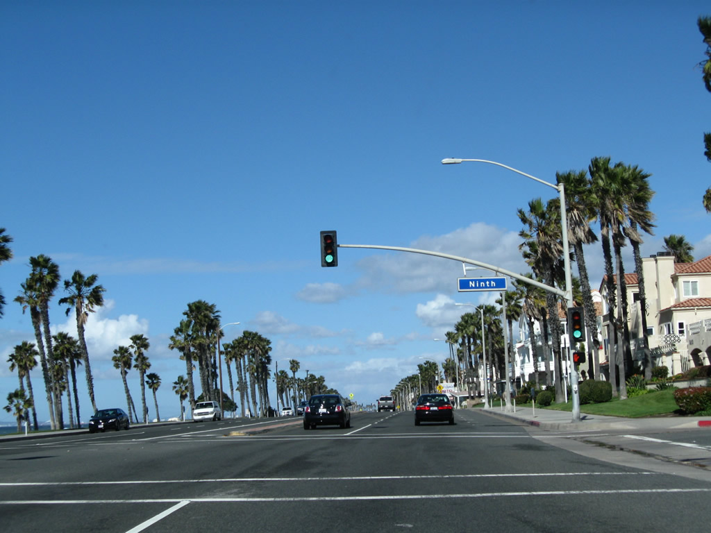
Shortly thereafter, California 1 (Pacific Coast Highway) north meets Ninth Street.
02/26/11
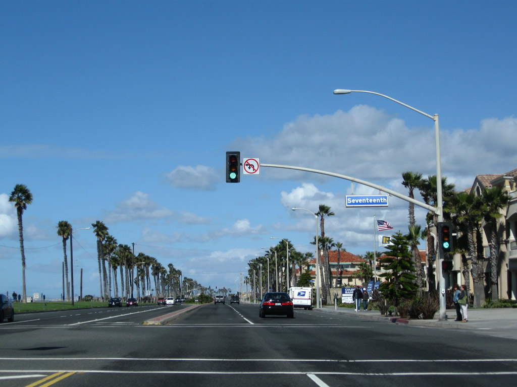
Leaving the downtown area of Huntington Beach, California 1 (Pacific Coast Highway) north approaches Seventeenth Street.
02/26/11
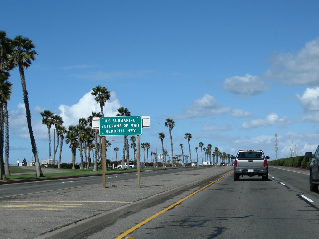
After the intersection with Golden West Street, a sign in the median indicates California 1 (Pacific Coast Highway) is also U.S. Submarine Veterans of World War II Highway.
02/26/11
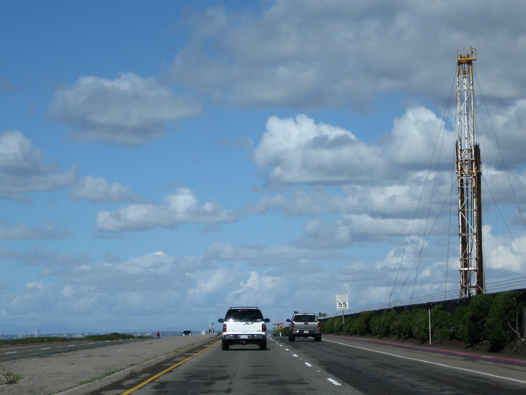
Between Golden West Street and Seapoint Avenue, California 1 passes by an oil field on the right and more beaches on the left.
02/26/11
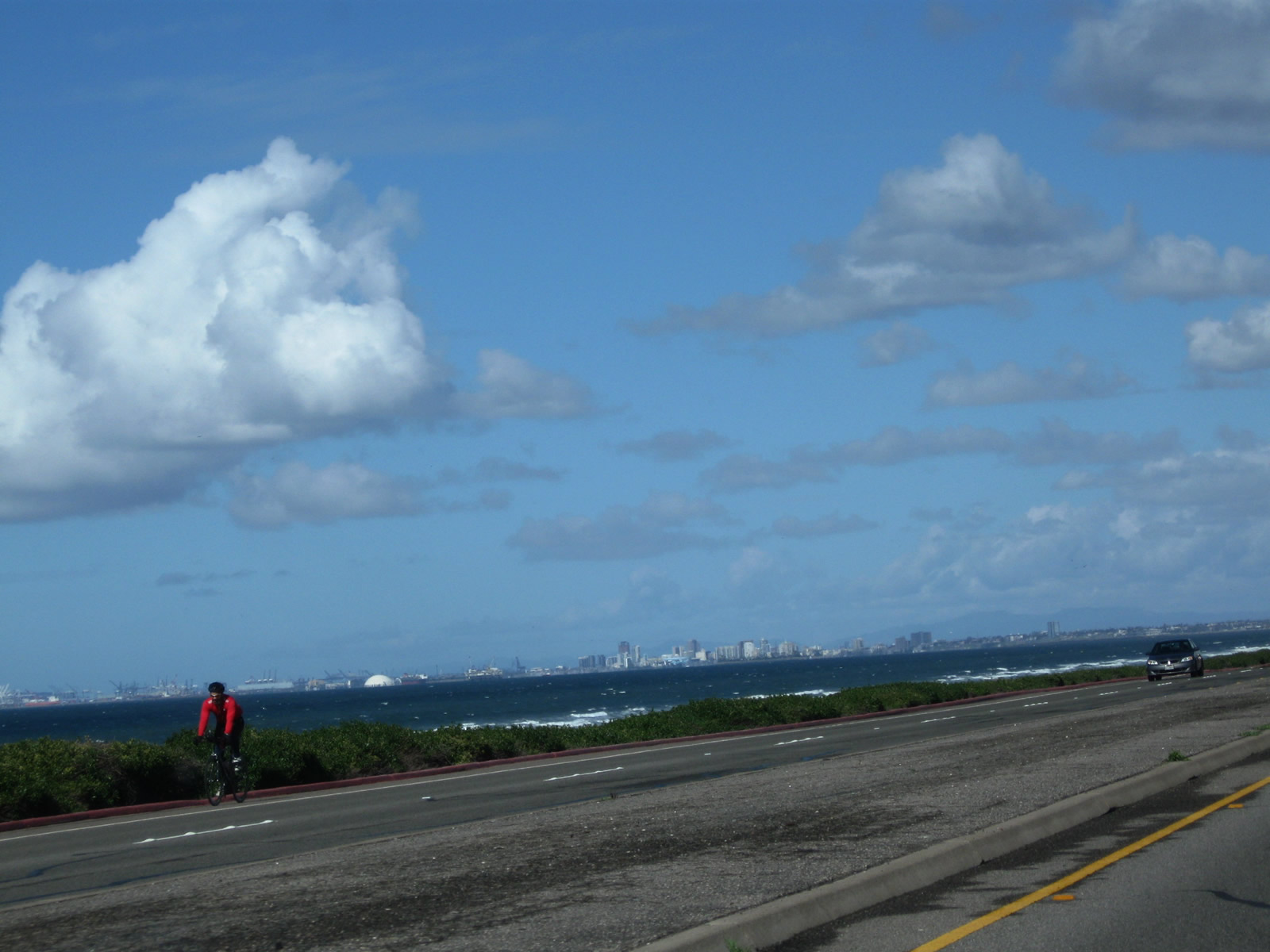
Looking northwest out over the water, the skyline of Long Beach comes into view, including the cruise ship terminal, port of Long Beach, Queen Mary, and towering skyline.
02/26/11
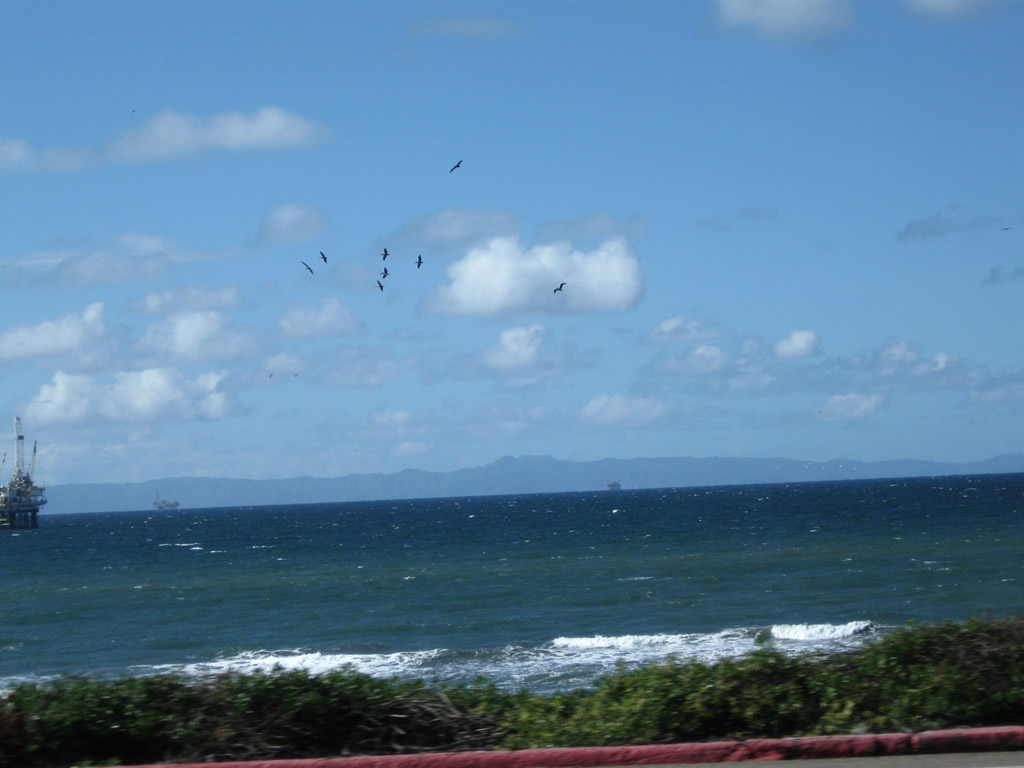
The oil platforms in the coastal waters and Catalina Island come into view to the west on clear days.
02/26/11
After the intersection with Seapoint Avenue, California 1 enters the Bolsa Chica State Beach and Bolsa Chica Ecological Reserve. This bridge crosses over water that connects the lagoon with the ocean.
02/26/11
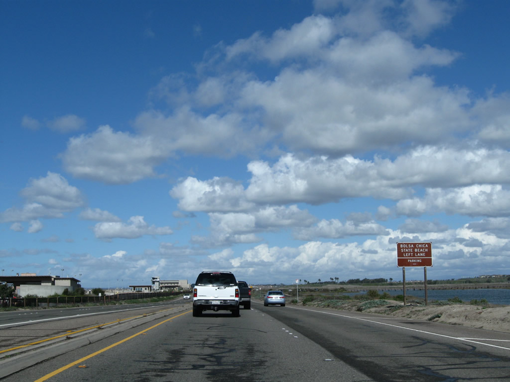
The next left connects California 1 to the Bolsa Chica State Beach parking area.
02/26/11
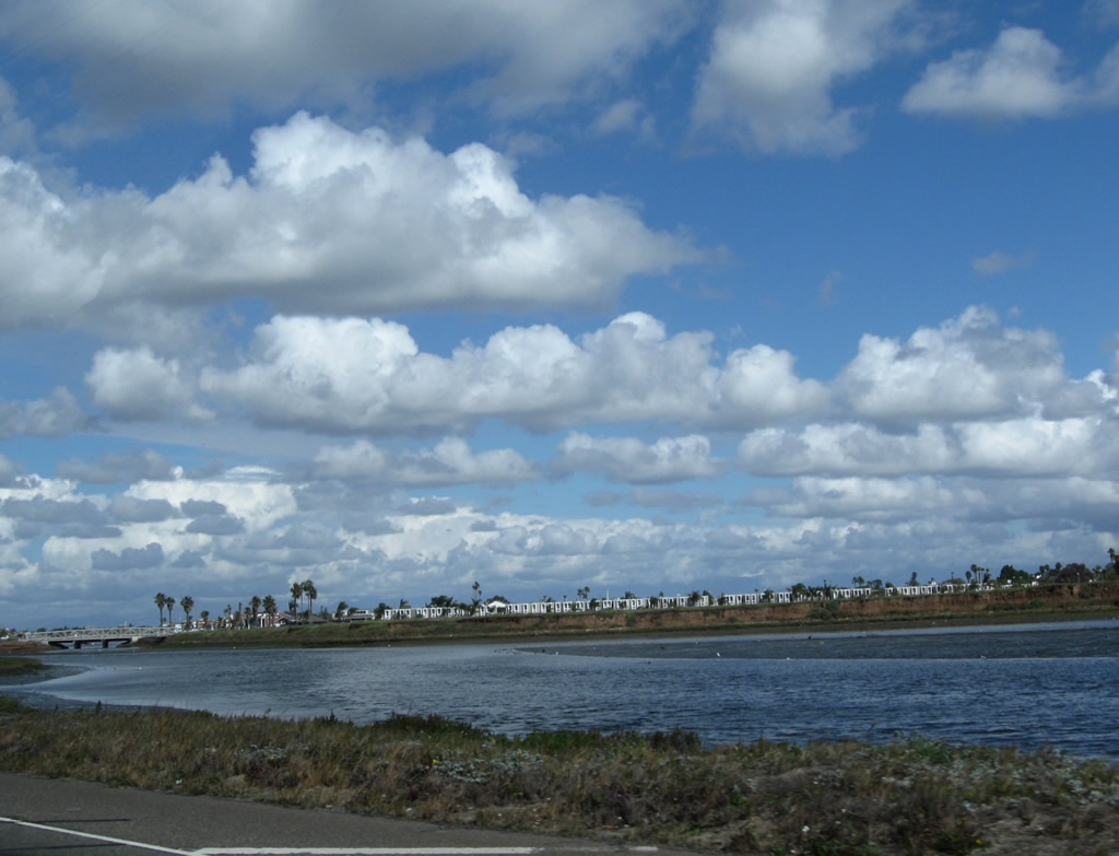
This view looks north at the lagoon in Bolsa Chica Ecological Reserve.
02/26/11
Leaving Bolsa Chica, northbound California 1 next intersects Warner Avenue. California 1 mostly remains in the city of Huntington Beach, but portions also cruise through Sunset Beach, an unincorporated community adjacent to the beach.
02/26/11
A California 1 north reassurance shield assembly is posted after the intersection with Warner Avenue.
02/26/11
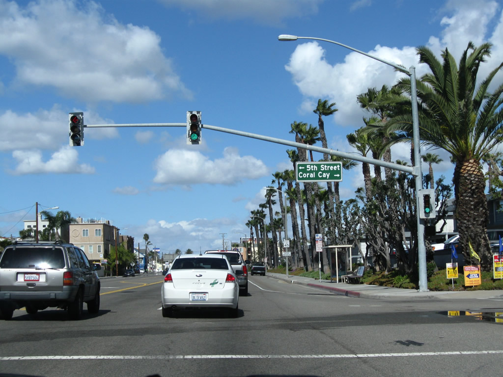
In Sunset Beach, northbound California 1 (Pacific Coast Highway) approaches Fifth Street and Coral Cay Lane . Turn right for Huntington Harbor.
02/26/11
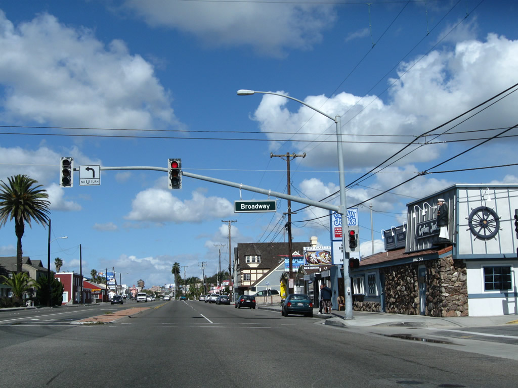
Northbound California 1 (Pacific Coast Highway) meets Broadway in Sunset Beach.
02/26/11
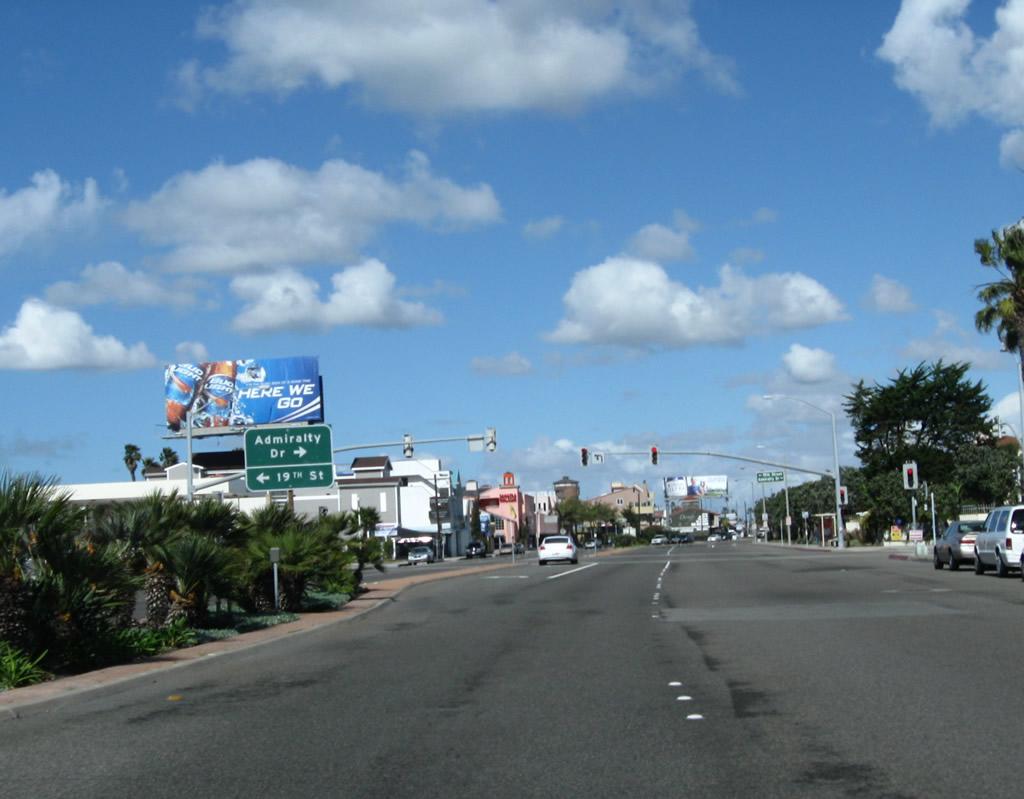
Still in Sunset Beach, northbound California 1 (Pacific Coast Highway) meets Admiralty Drive and Nineteenth Street .
02/26/11
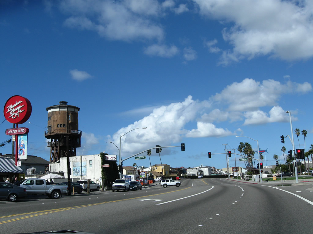
Northbound California 1 (Pacific Coast Highway) approaches Anderson Street. At this point, California 1 leaves Sunset Beach.
02/26/11
California 1 (Pacific Coast Highway) proceeds north into Surfside.
02/26/11
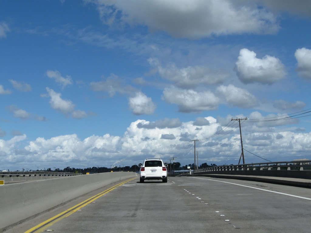
Leaving Surfside, California 1 leaves Huntington Beach and enters the city of Seal Beach ahead of the Anaheim Bay Bridge. This city had a population of 24,157 people as of the 2000 Census and incorporated on October 25, 1915. This bridge passes over a channel that brings water from the ocean (Anaheim Bay) into the interior estuaries of Seal Beach National Wildlife Refuge.
02/26/11
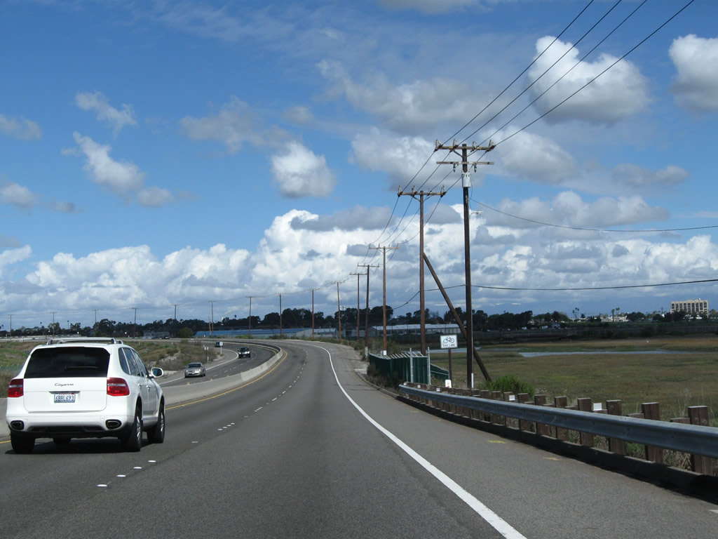
Continuing north from the bridge built in 1967 over Anaheim Bay, California 1 skirts the edge of Seal Beach National Wildlife Refuge and a United States Naval Weapons Station.
02/26/11
Wetlands spread along the east side of Pacific Coast Highway at Seal Beach National Wildlife Refuge.
02/26/11
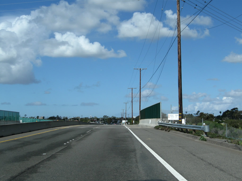
A grade separation takes SR 1 (Pacific Coast Highway) over Kitts Highway, which is part of Seal Beach Naval Weapons Station.
02/26/11
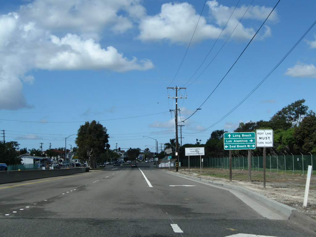
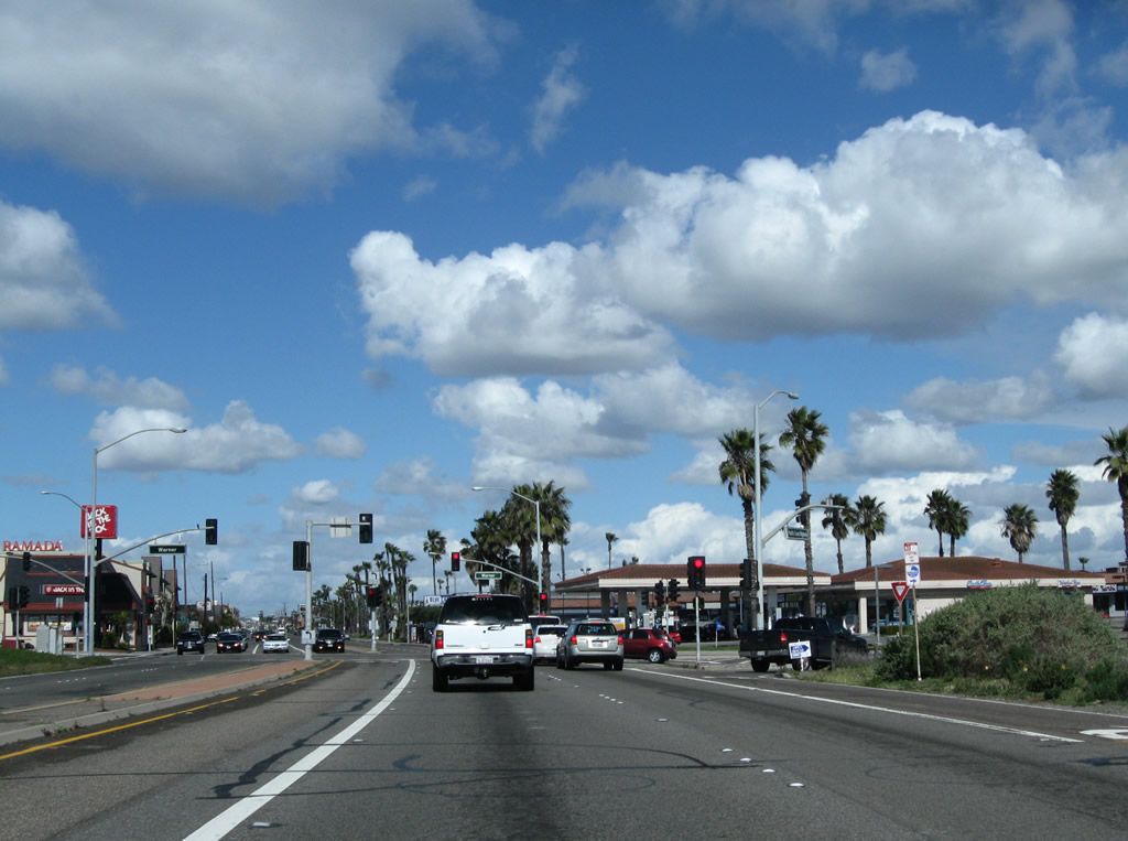
Leaving preserved areas, SR 1 (Pacific Coast Highway) north nears Seal Beach Boulevard and Downtown Seal Beach.
02/26/11
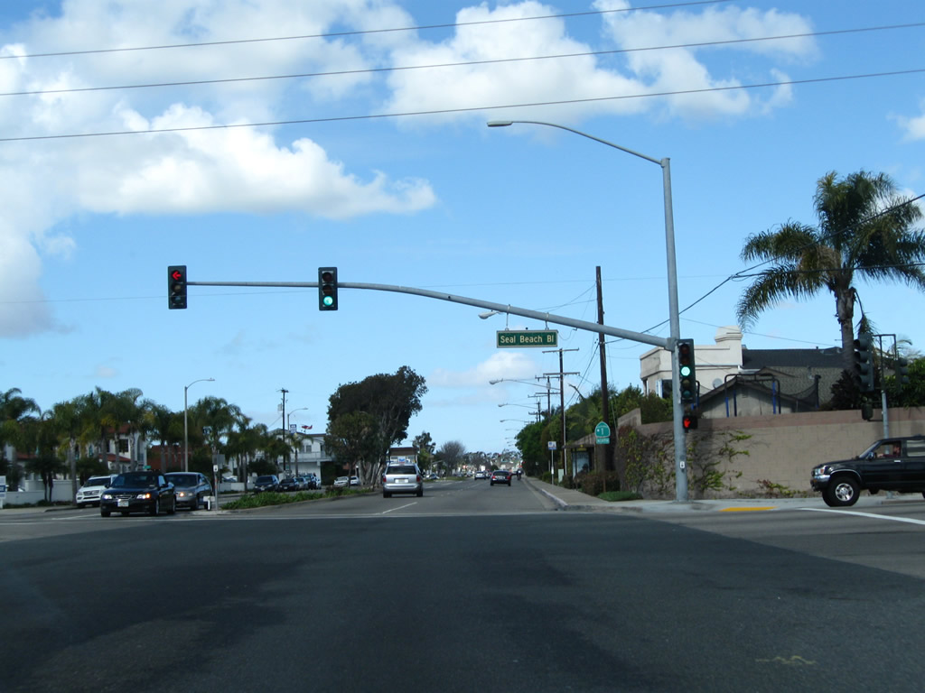
1.6 miles north of the previous signal at Anderson Street in Sunset Beach, the succeeding traffic light along SR 1 (Pacific Coast Highway) north is with Seal Beach Boulevard. Seal Beach Boulevard angles northeast to Westminster Boulevard before turning north to Interstate 405 (San Diego Freeway) just east of Long Beach.
02/26/11
A California 1 north reassurance shield is posted after the Seal Beach Boulevard intersection.
02/26/11
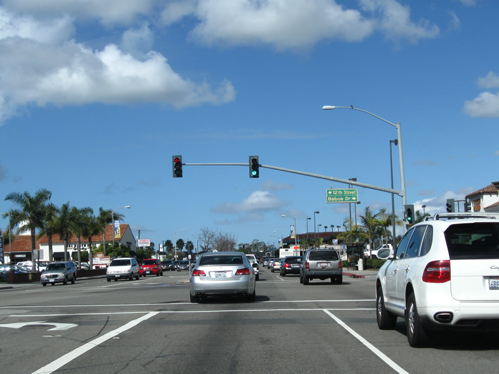
California 1 (Pacific Coast Highway) approaches Balboa Drive north and 12th Street south .
02/26/11
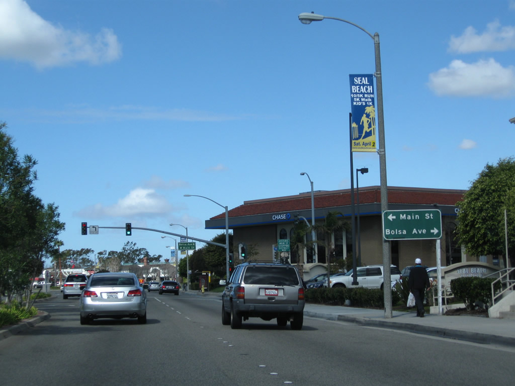
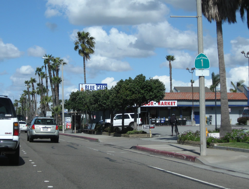
Northbound California 1 (Pacific Coast Highway) approaches Main Street south and Bolsa Avenue east . Turn left here for Seal Beach's historic downtown and municipal pier. Main Street is the equivalent of Ninth Street.
02/26/11
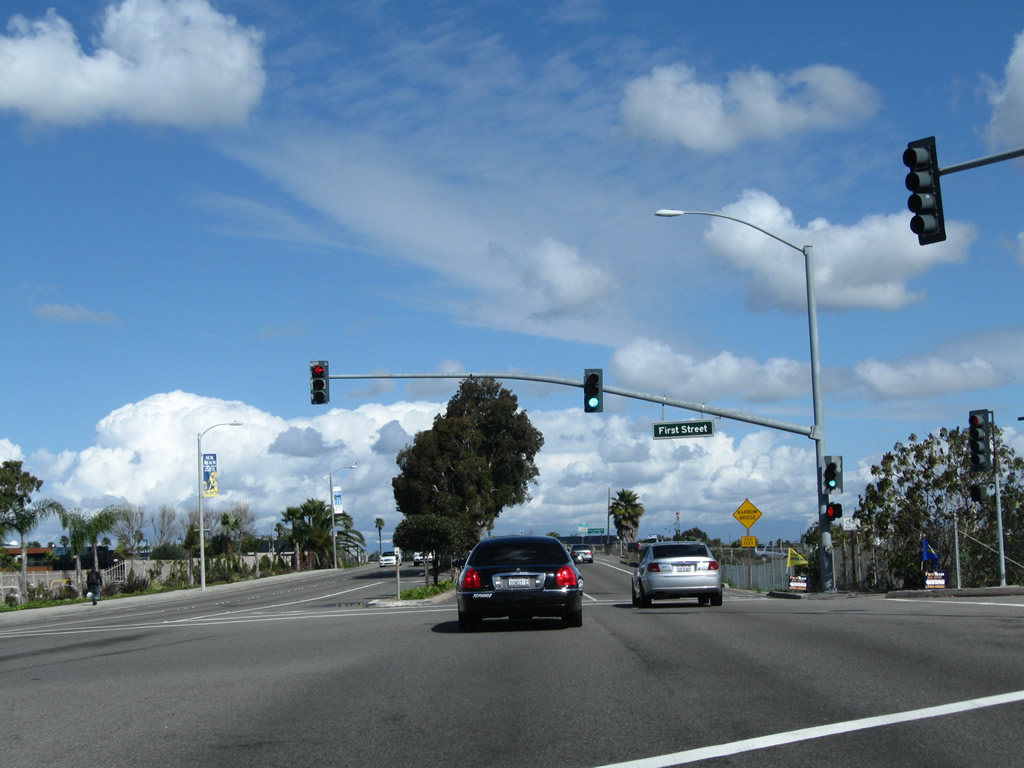
Northbound California 1 (Pacific Coast Highway) approaches its final traffic signal in Orange County, with First Street. Ahead is the sign welcoming motorists into Los Angeles County and the bridge connecting Seal Beach with Long Beach over the San Gabriel River.
02/26/11
Photo Credits:
- Andy Field: 10/24/09, 02/26/11
Connect with:
Page Updated Tuesday March 01, 2011.