
State Route 1 North - LAX Airport to Santa Monica
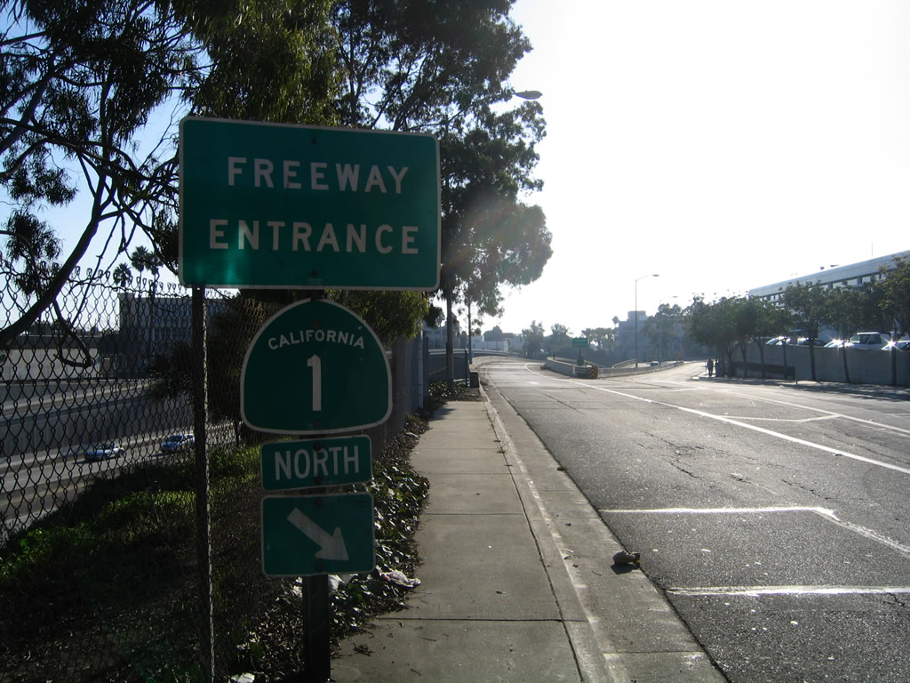
California 1 goes below grade through the Sepulveda Tunnel leading to ramps for the passenger terminal.
02/13/11
Los Angeles International Airport, which goes by the airport code "LAX," is one of the world's busiestwith over 59 million passengers (in 2008 per the official webpage), five square miles, and hundreds of daily flights. The airport first opened in 1928 as Mines Field, and its size grew in proportion to the growth of Southern California. Major expansions came in 1961 (construction of current terminal) and early 1980s (expansion of terminals to include more domestic and international flights).
02/13/11
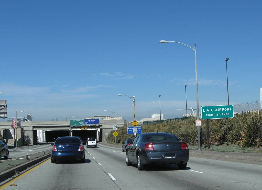
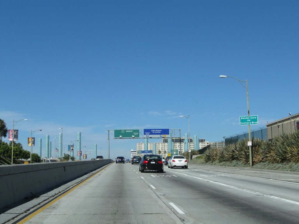
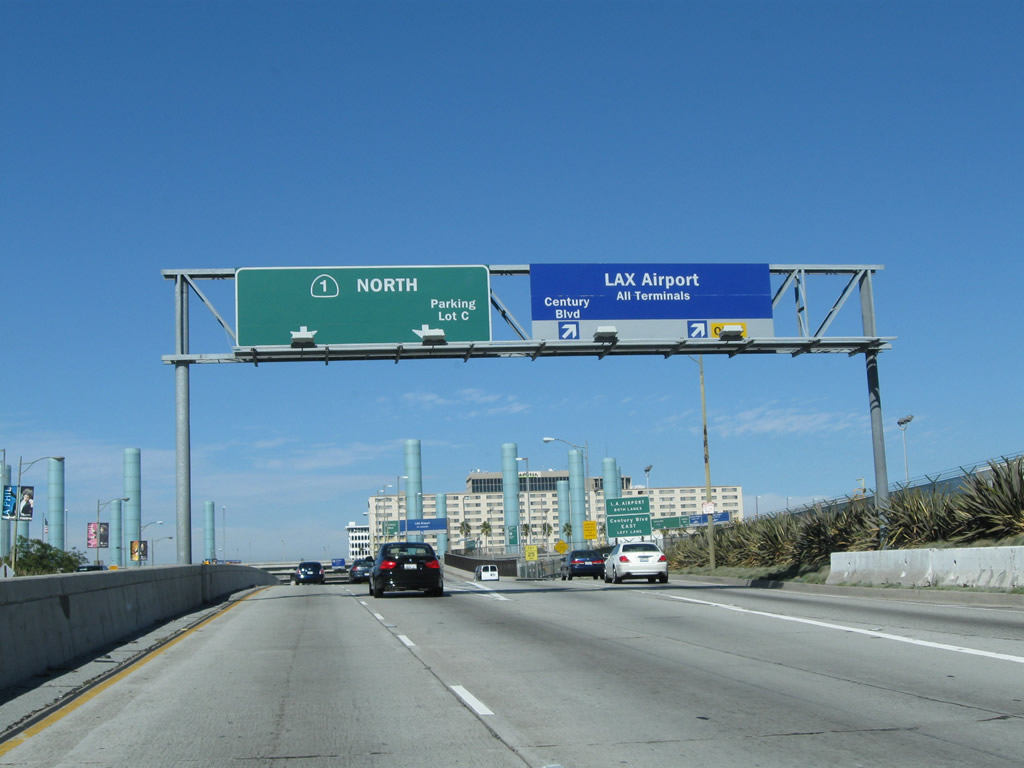
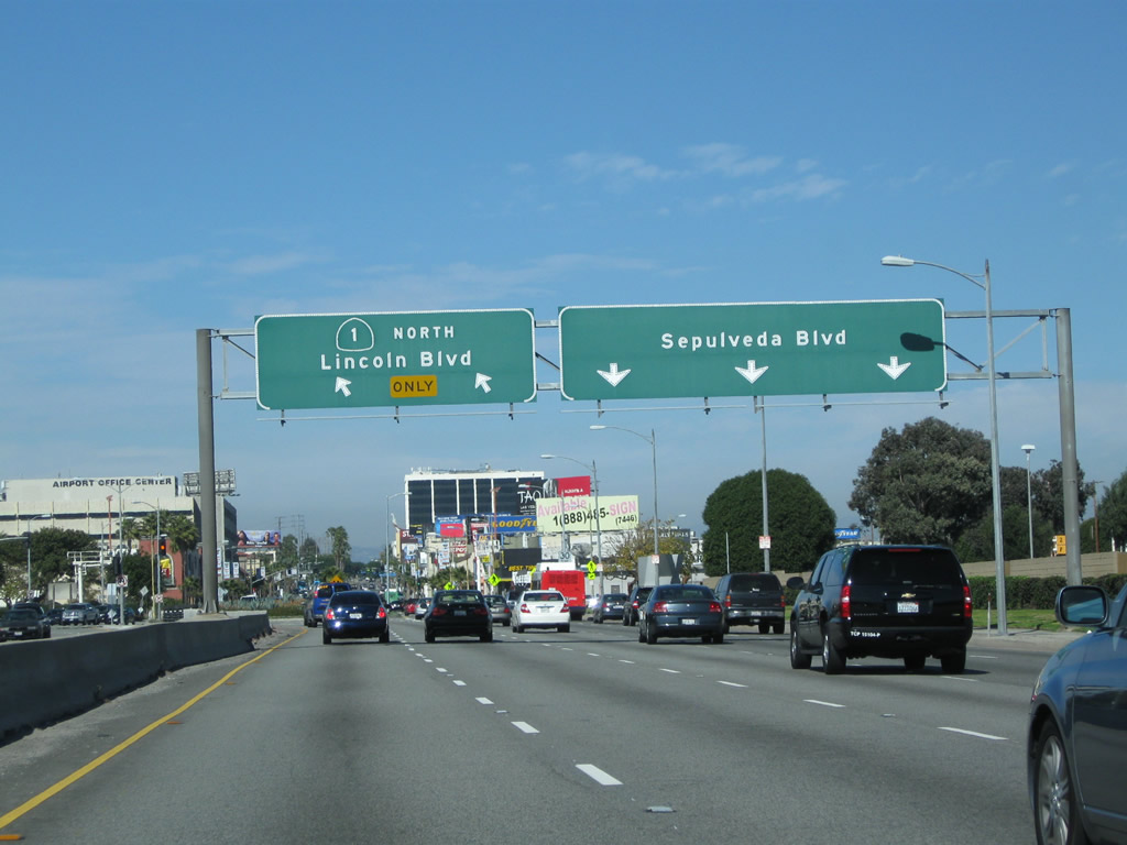
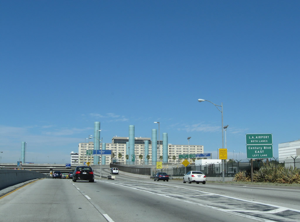
Access to the airport and Century Boulevard is via the right two lanes of Sepulveda Boulevard northbound. These overhead signs were placed by the airport authority.
02/13/11
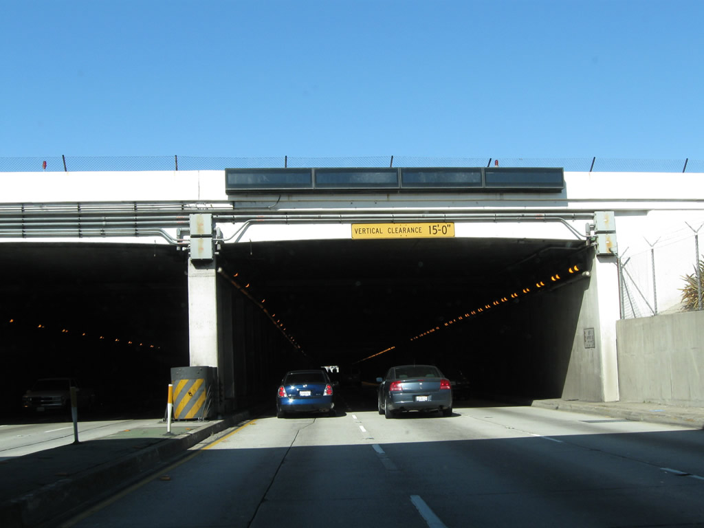
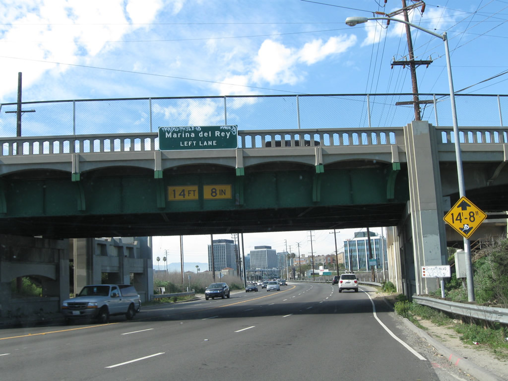
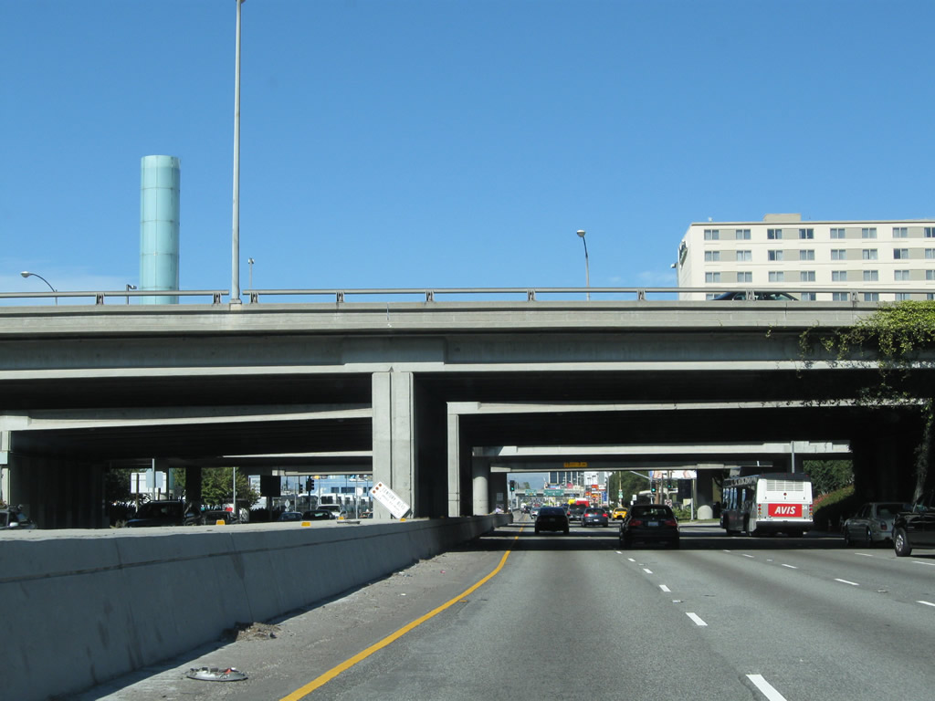
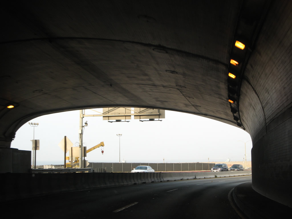
California 1 (Sepulveda Boulevard) enters Sepulveda Tunnel, which allows the southern runway of the Los Angeles International Airport to cross over Sepulveda Boulevard. This tunnel was built to allow the longer southern runways accommodate larger airplanes. Not to be confused with the Sepulveda Tunnel in the Santa Monica Mountains, the tunnel at LAX Airport carries three lanes in each direction and is approximately 1,900 feet long.
02/13/11
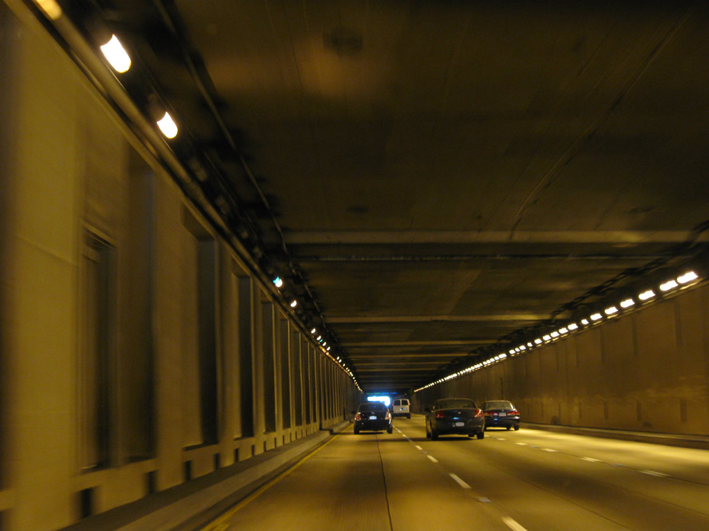
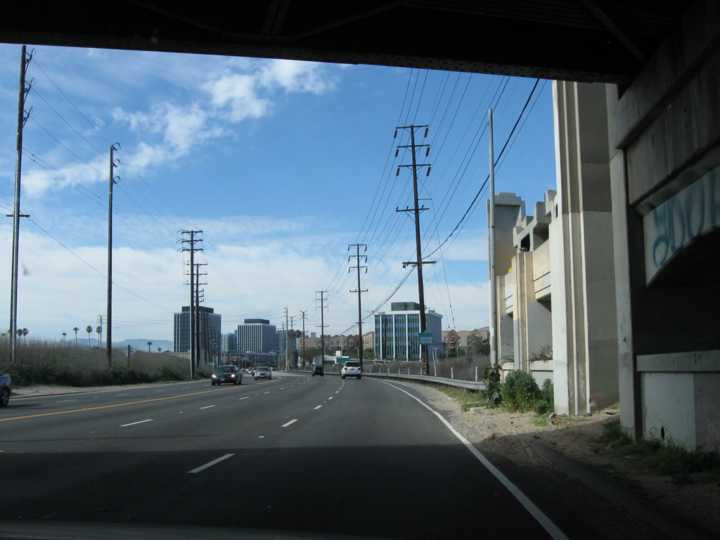
This view shows the interior of the tunnel, which is often very busy due to its role as one of the main routes to the airport.
02/13/11
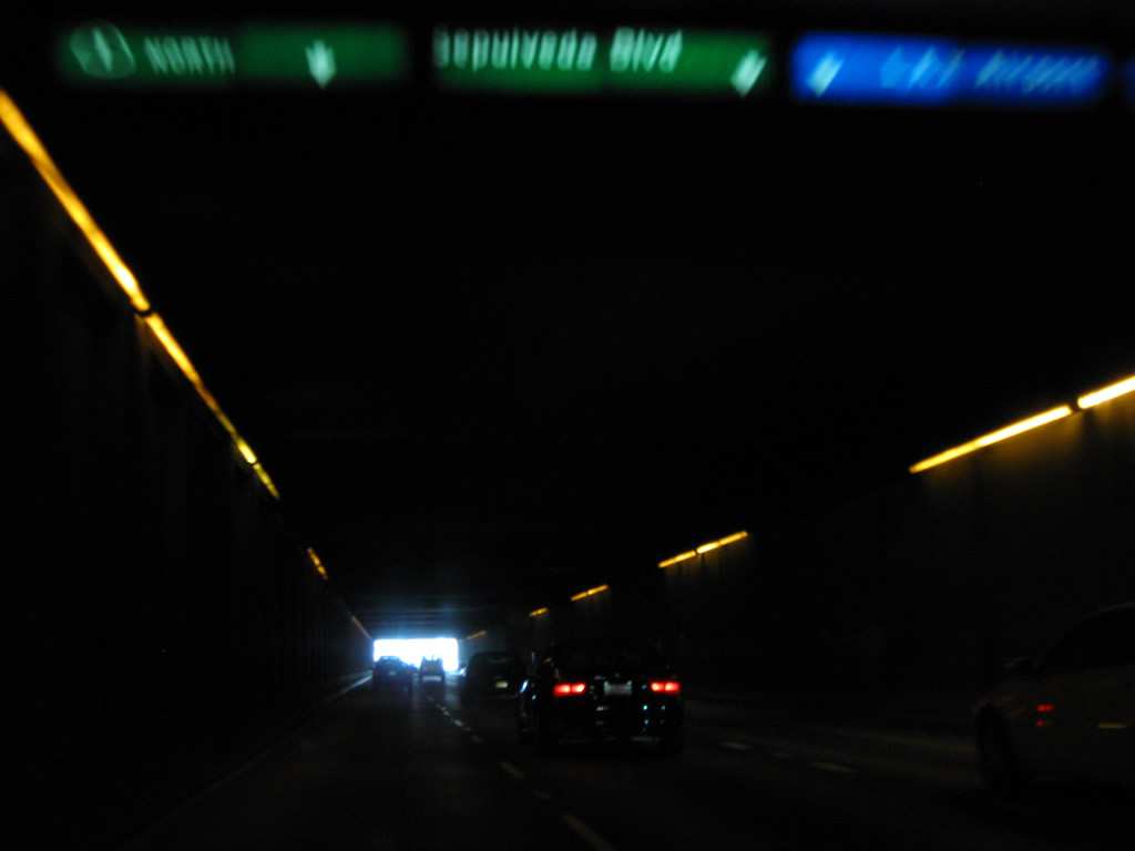
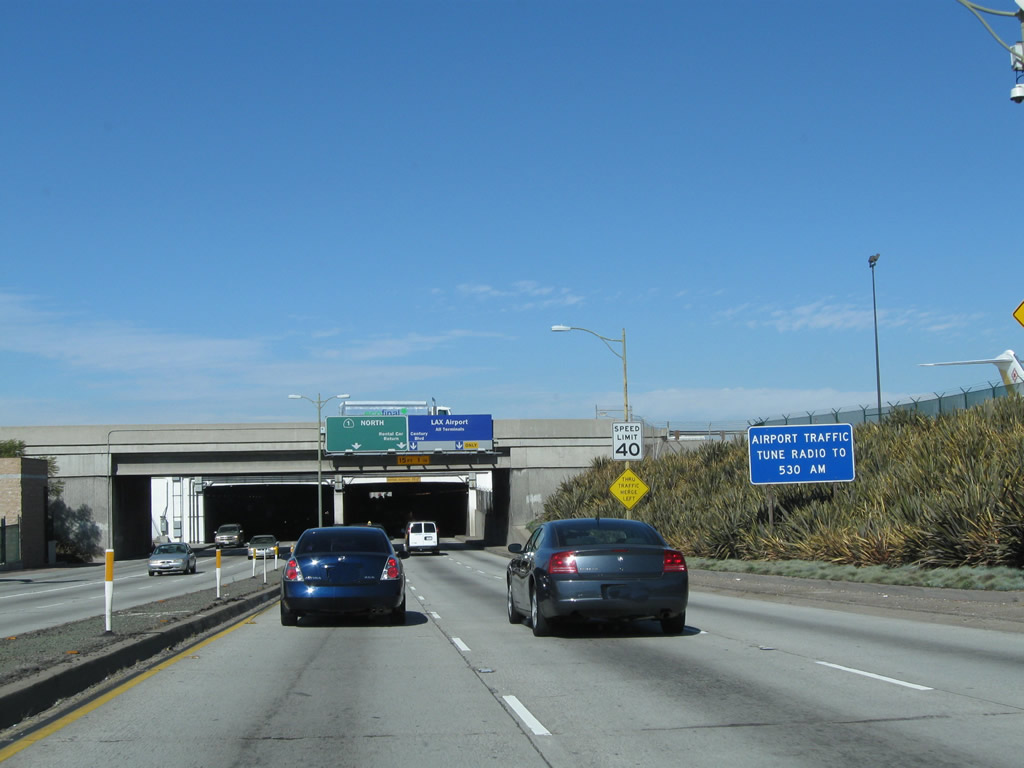
An internally lit overhead guide sign shows the lane allocation for California 1, Sepulveda Boulevard, and the airport.
02/13/11
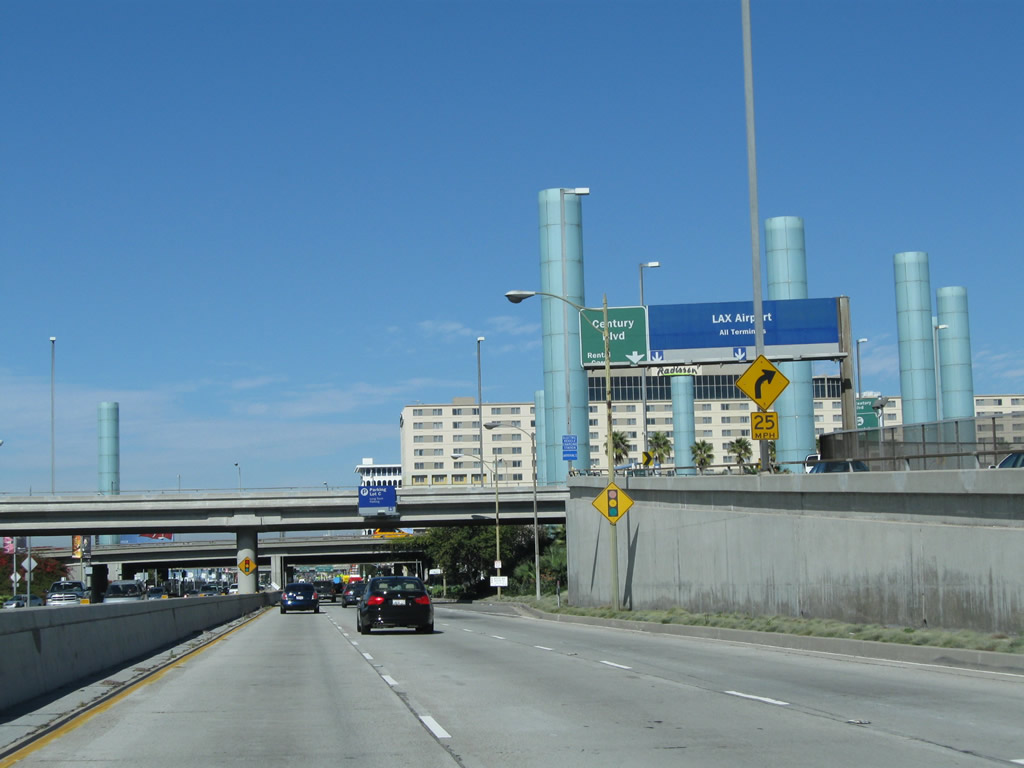
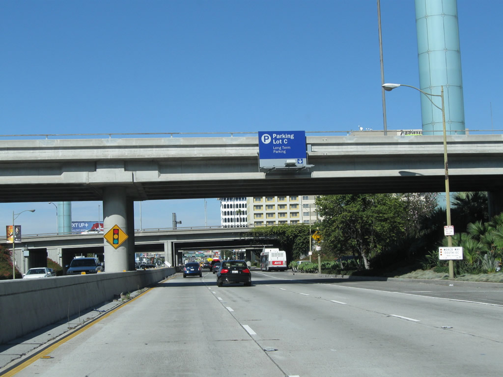
Rental Car facilities for LAX Airport lie off Century Boulevard.
02/13/11
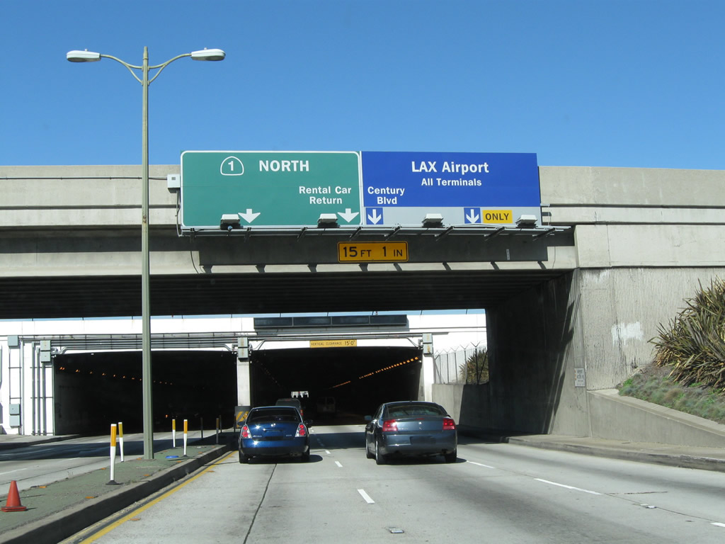
Two lanes depart from northbound California 1 (Sepulveda Boulevard) to Century Boulevard and Los Angeles International Airport (LAX).
02/13/11
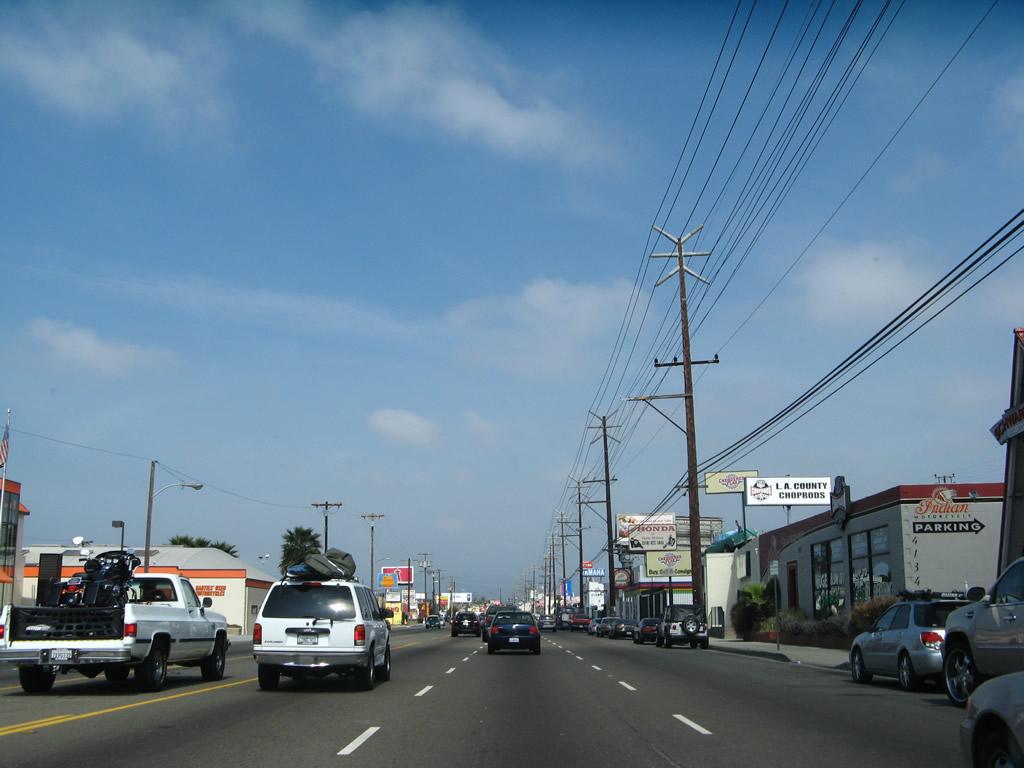
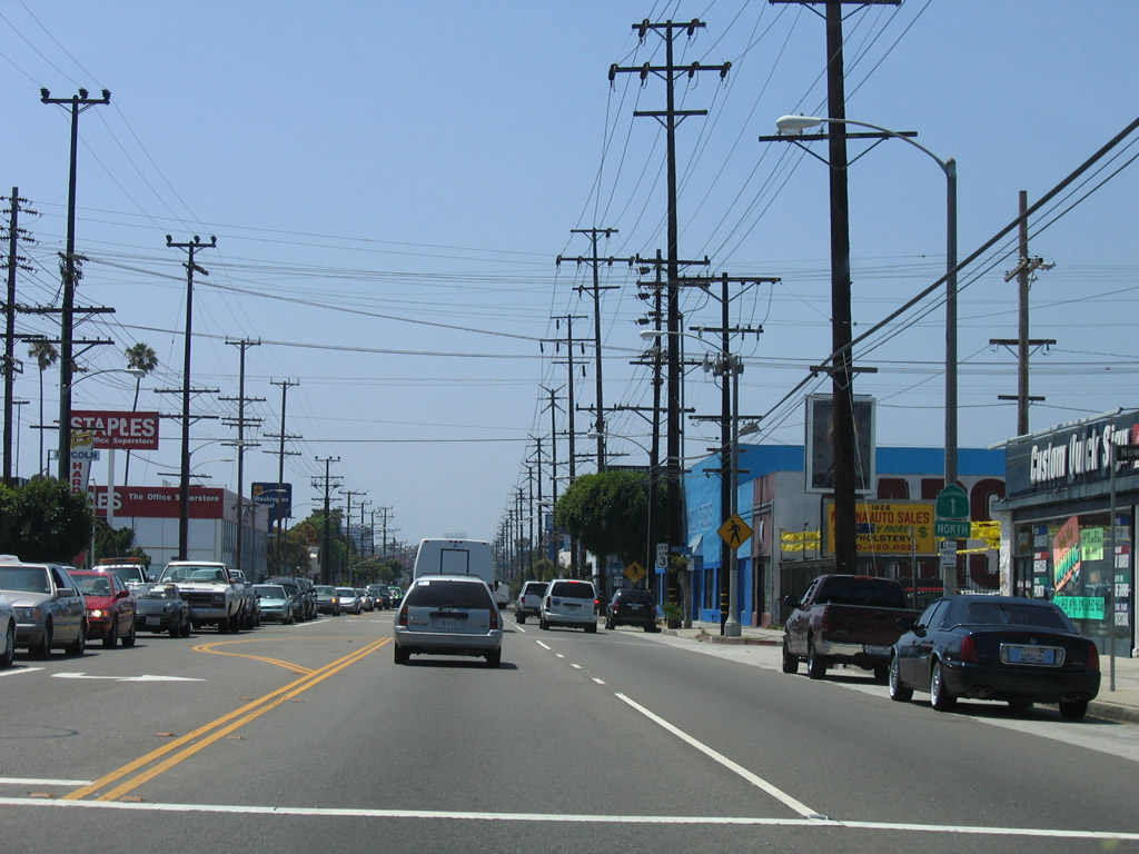
California 1 (Sepulveda Boulevard) at the Century Boulevard interchange. Despite the presence of multiple flyover ramps, California 1 does not achieve freeway standards through here.
02/13/11
Sepulveda Boulevard north at Centrury Boulevard.
02/13/11
North of Vicksburg Avenue, SR 1 parts ways with Sepulveda Boulevard. Replaced in stages by Interstate 405, historically SR 7 followed Sepulveda Boulevard from here north to Sylmar. This iteration of SR 7 was eliminated in 1964 when many state routes were renumbered. This intersection was realigned due to airport expansion, so it does not represent the original south end of SR 7 7.
02/13/11
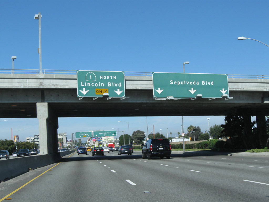
SR 1 turns west with two northbound lanes onto Lincoln Boulevard. Sepulveda Boulevard extends north with three lanes and generally parallels Interstate 405 from here north to Sylmar.
02/13/11
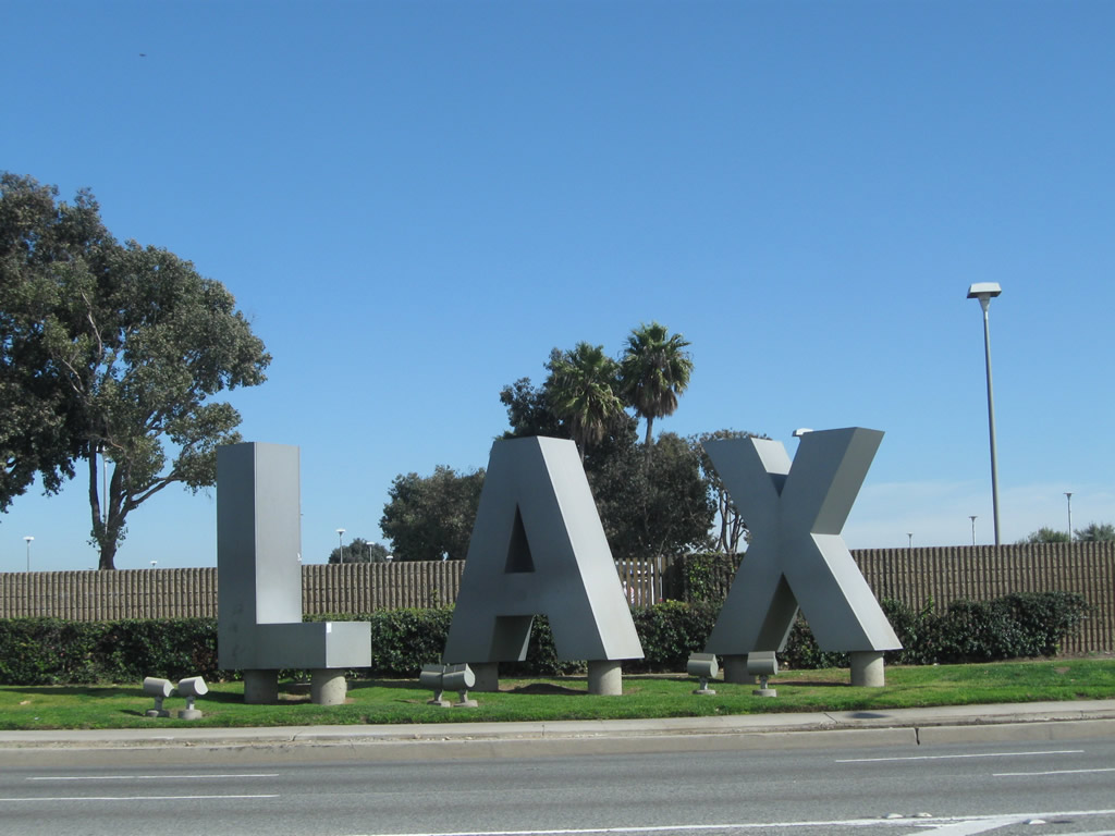
On the right side of California 1 are the large letters L A X for the airport.
02/13/11
Northbound California 1 has a traffic signal at the intersection with southbound traffic for Sepulveda Boulevard. Lincoln Boulevard begins ahead.
02/13/11
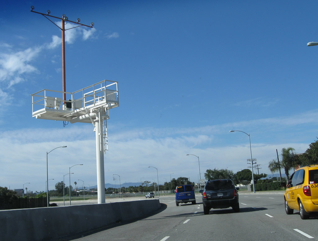
The northern runway for LAX is located just west of here; this median tower helps aircraft land on the northern runway.
02/13/11
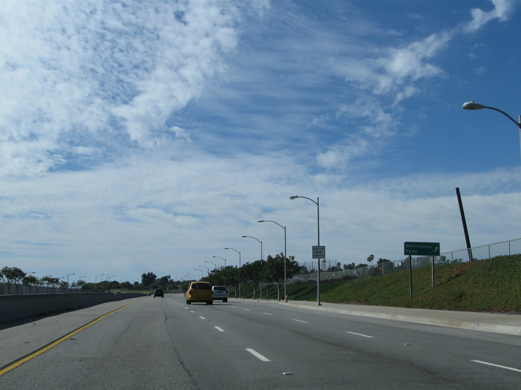
Right in right out (RIRO) ramps link northbound California 1 (Lincoln Boulevard) with adjacent Westchester Parkway, an arterial connecting Pershing Drive and Sepulveda Boulevard. The intersection between California 1 and Westchester Boulevard is grade separated.
02/13/11
California 1 curves north again after passing under Westchester Parkway. Entering the neighborhoods of Loyola Village and Westchester in the city of Los Angeles, California 1 next intersects La Tijera Boulevard.
02/13/11
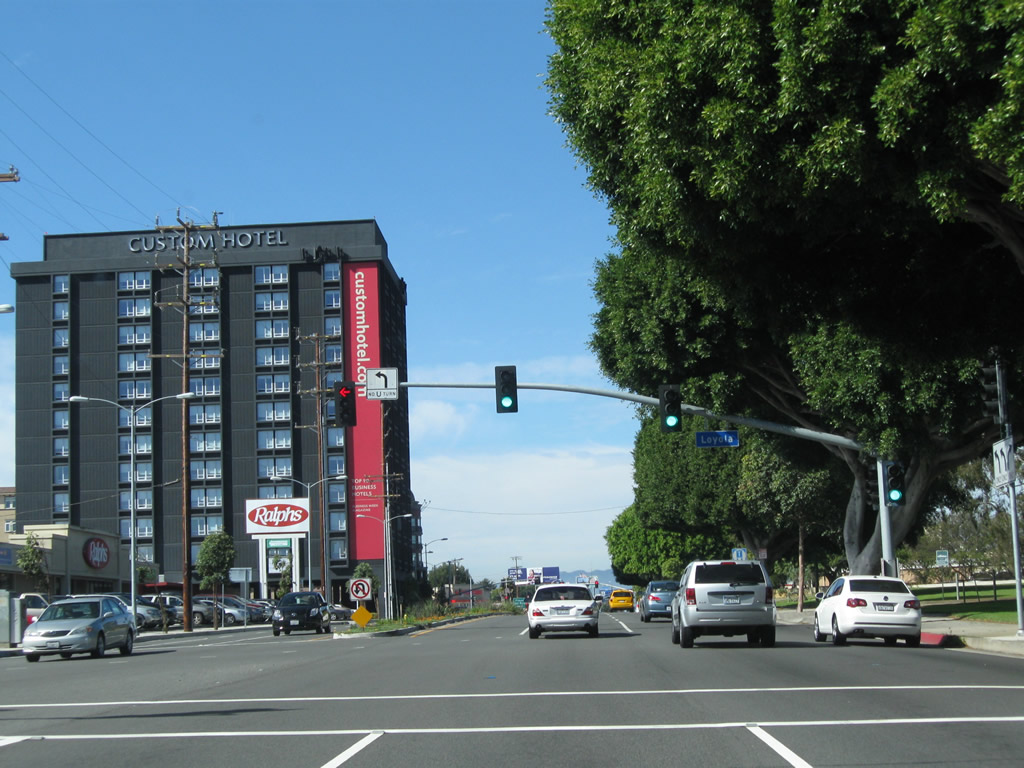
Northbound California 1 (Lincoln Boulevard) meets Loyola Boulevard at this intersection.
02/13/11
Forthcoming Manchester Avenue was formerly designated as California 42. California 42 was decommissioned in phases after Interstate 105 was completed in 1993.
02/13/11
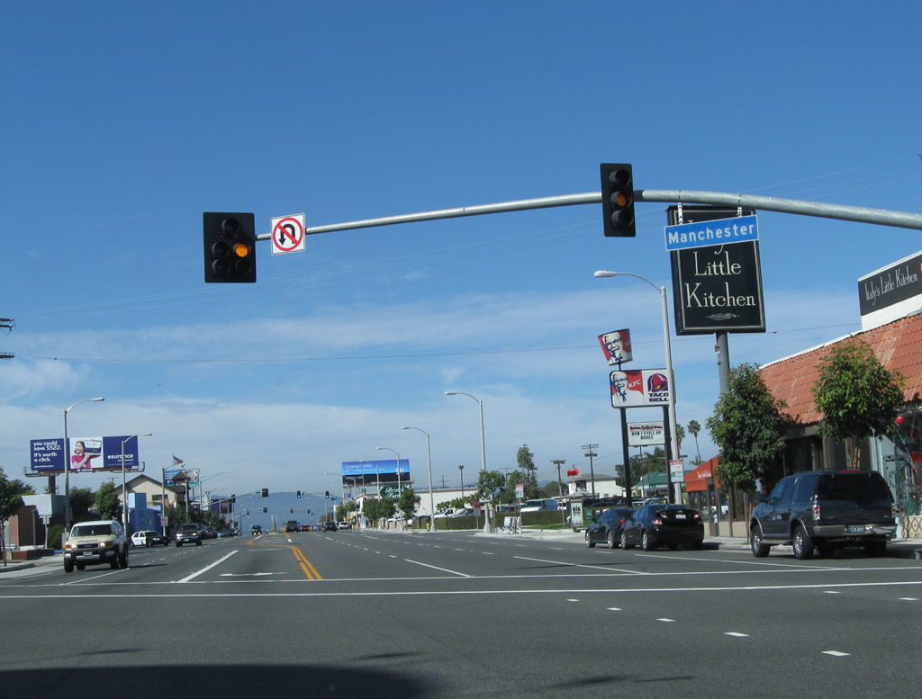
California 42 originally extended east from Lincoln Boulevard and California 1 to Norwalk via Manchester Avenue and Firestone Boulevard, with significant sections in the cities of Inglewood, South Gate and Downey. California 42 ended at Interstate 5 at the Firestone Boulevard interchange.
02/13/11
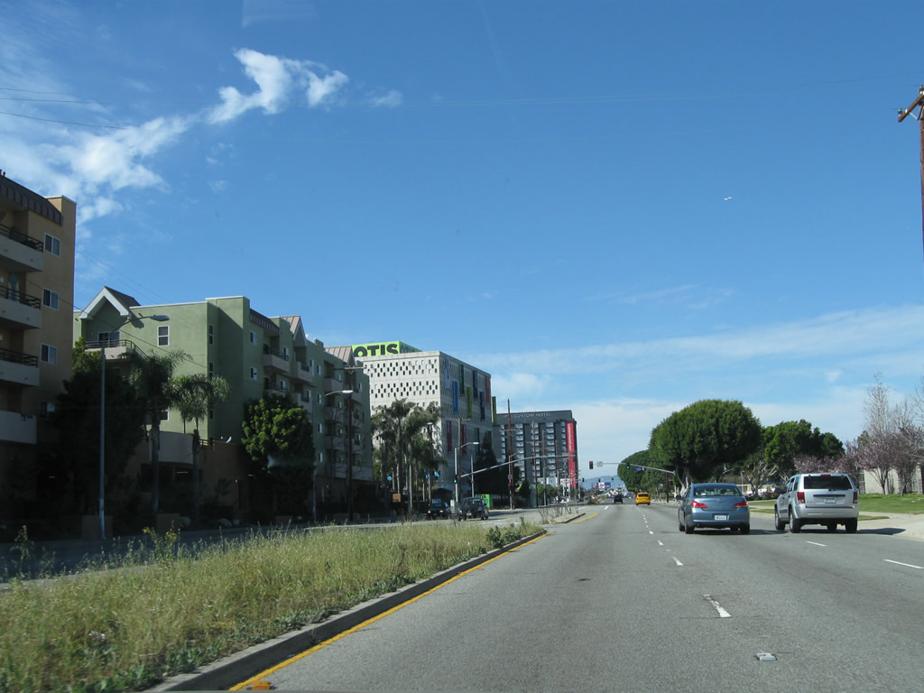
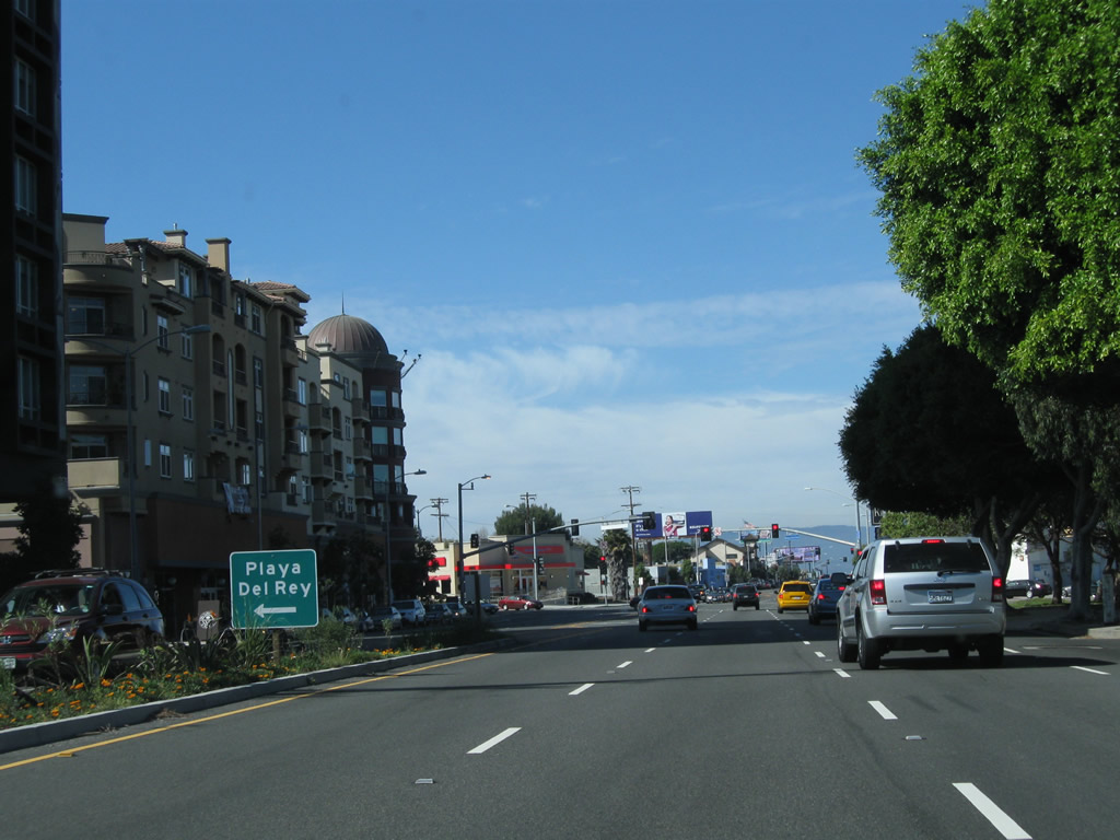
In Playa del Rey, California 1 (Lincoln Boulevard) approaches Loyola Marymount University.
07/03/05
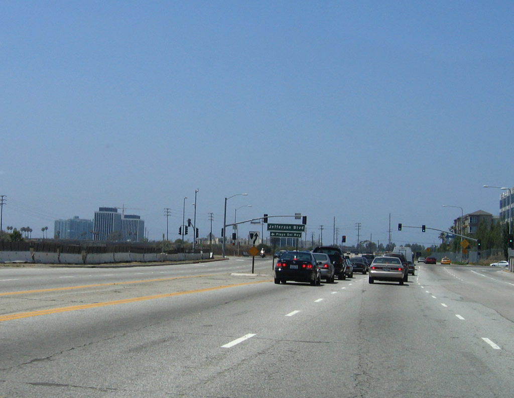
Northbound California 1 (Lincoln Boulevard) approaches Jefferson Boulevard.
07/03/05
California 1 crosses over Ballona Creek, where it leaves Playa del Rey and enters Marina del Rey.
07/03/05
SR 1 (Lincoln Boulevard) continues north from a grade separated intersection with Culver Boulevard to the unincorporated community of Marina Del Rey.
02/13/11
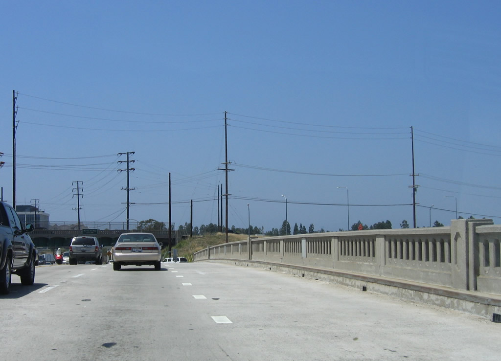
The Culver Boulevard bridge was built to allow for future expansion on the north side of the crossing.
02/13/11
California 1 carries three northbound lanes prior to the intersection with Fiji Way in Marina del Rey.
02/13/11
After Fiji Way, a California 1 north reassurance shield is posted on northbound Lincoln Boulevard.
02/13/11
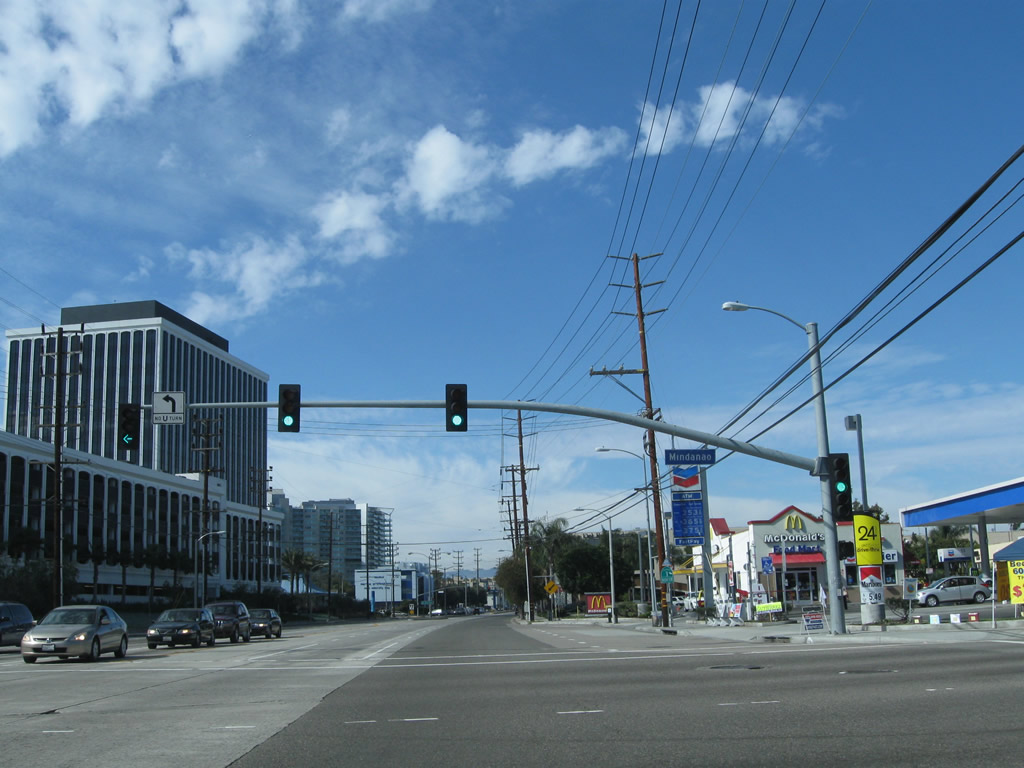
Northbound California 1 (Lincoln Boulevard) meets Mindanao Way, which provides a cut off to California 90 (Marina Freeway) east.
02/13/11
A California 1 reassurance shield is posted after Mindanao Way. Two sets of power lines parallel this stretch of California 1; the ones on the left are Los Angeles Department of Water and Power, while the ones on the right are Southern California Edison.
02/13/11
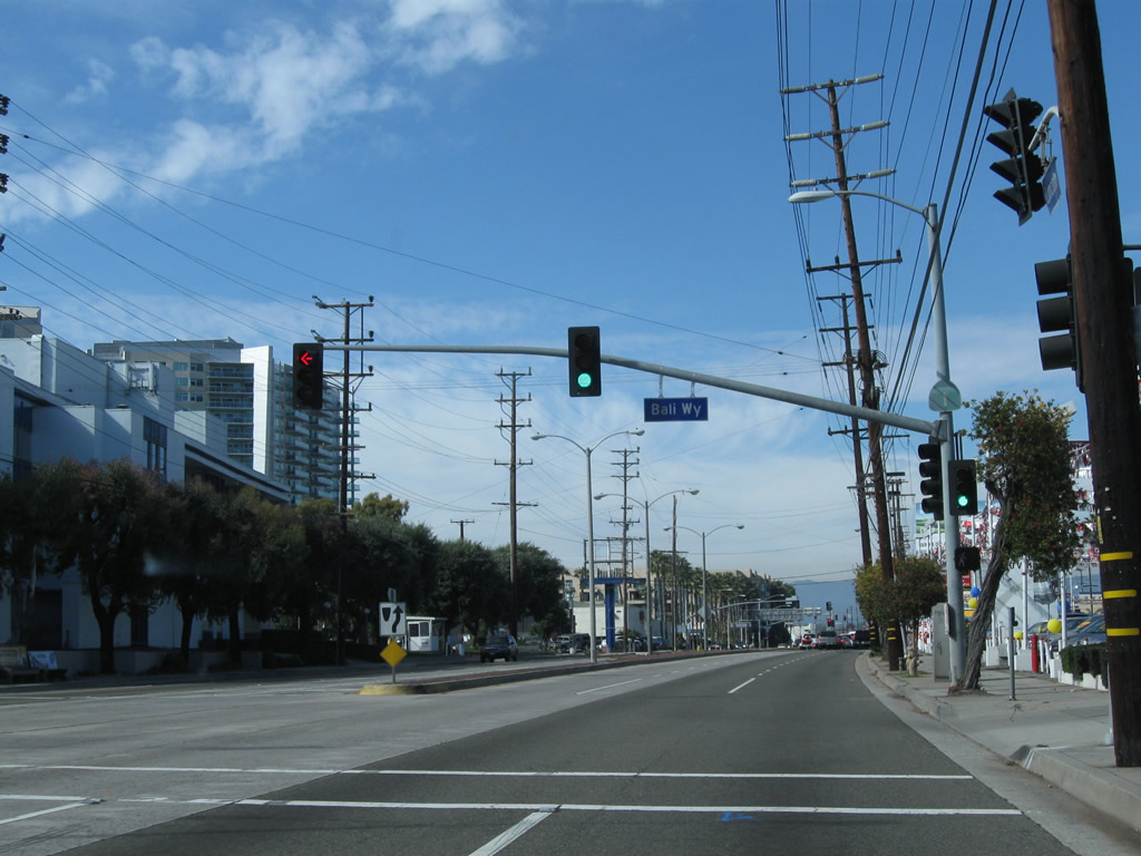
Northbound California 1 (Lincoln Boulevard) meets Bali Way. Another reassurance shield is posted on the traffic signal pole.
02/13/11
Another California 1 north reassurance shield appears between Bali Way and California 90 (Marina Expressway).
02/13/11
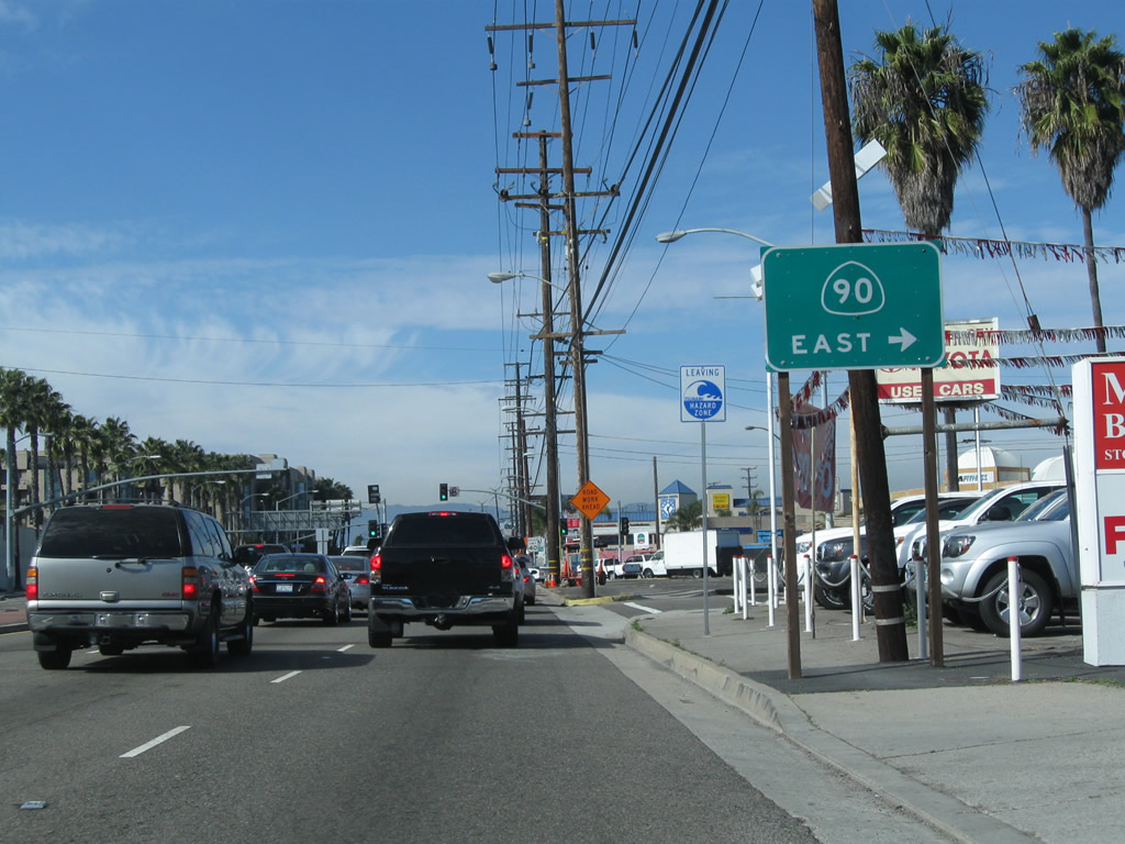
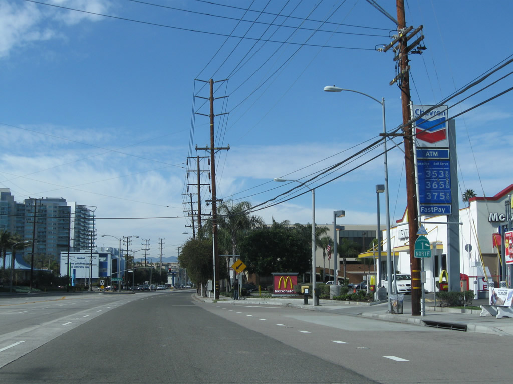
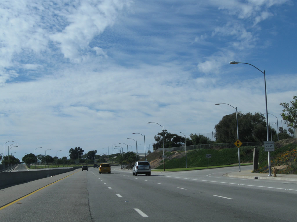
Leaving the Tsunami Hazard Zone, northbound California 1 intersects California 90 (Marina Expressway). California 90 is a short expressway-freeway combination that connects Lincoln Boulevard, I-405 and Slauson Avenue. Once a planned east-west freeway that would follow Slauson Avenue and connect to Imperial Highway, only the short section near California 1 and Interstate 405 was built. The rest remained a legal definition for a future freeway that was unlikely to ever be built.
02/13/11
A short ramp connects California 1 (Lincoln Boulevard) north with California 90 (Marina Expressway) east.
02/13/11
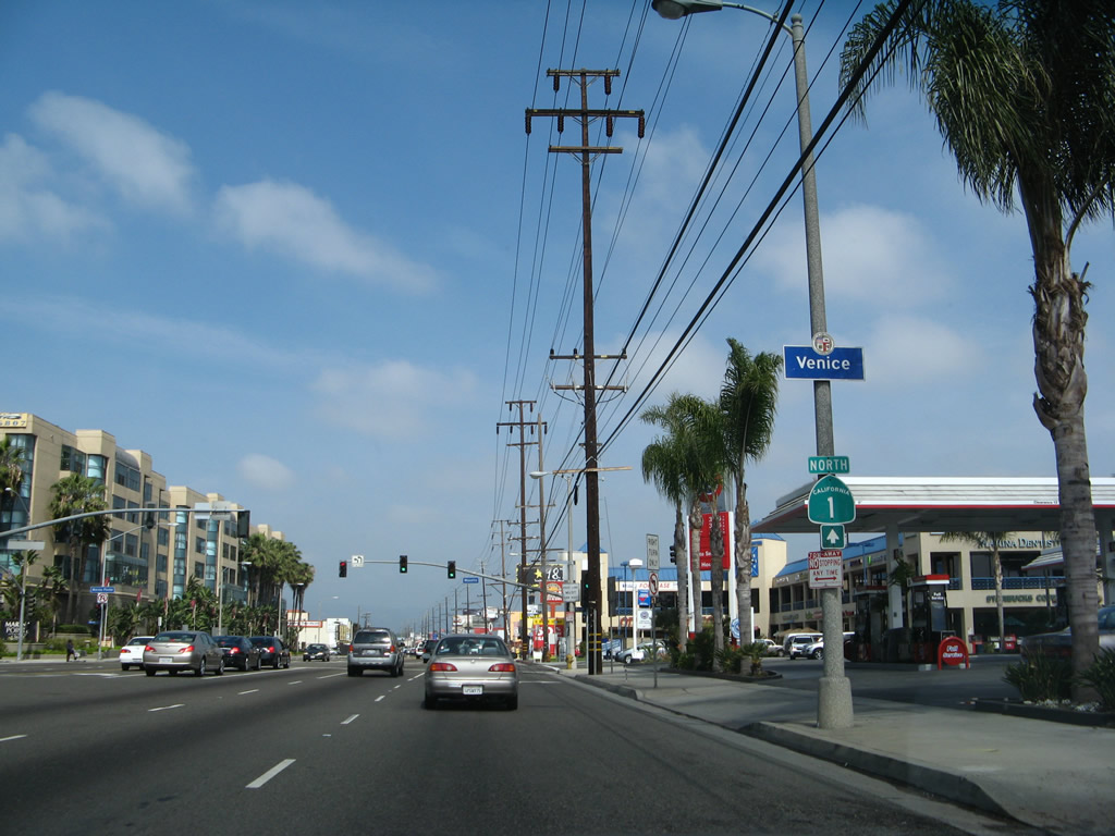
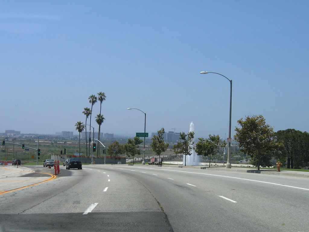
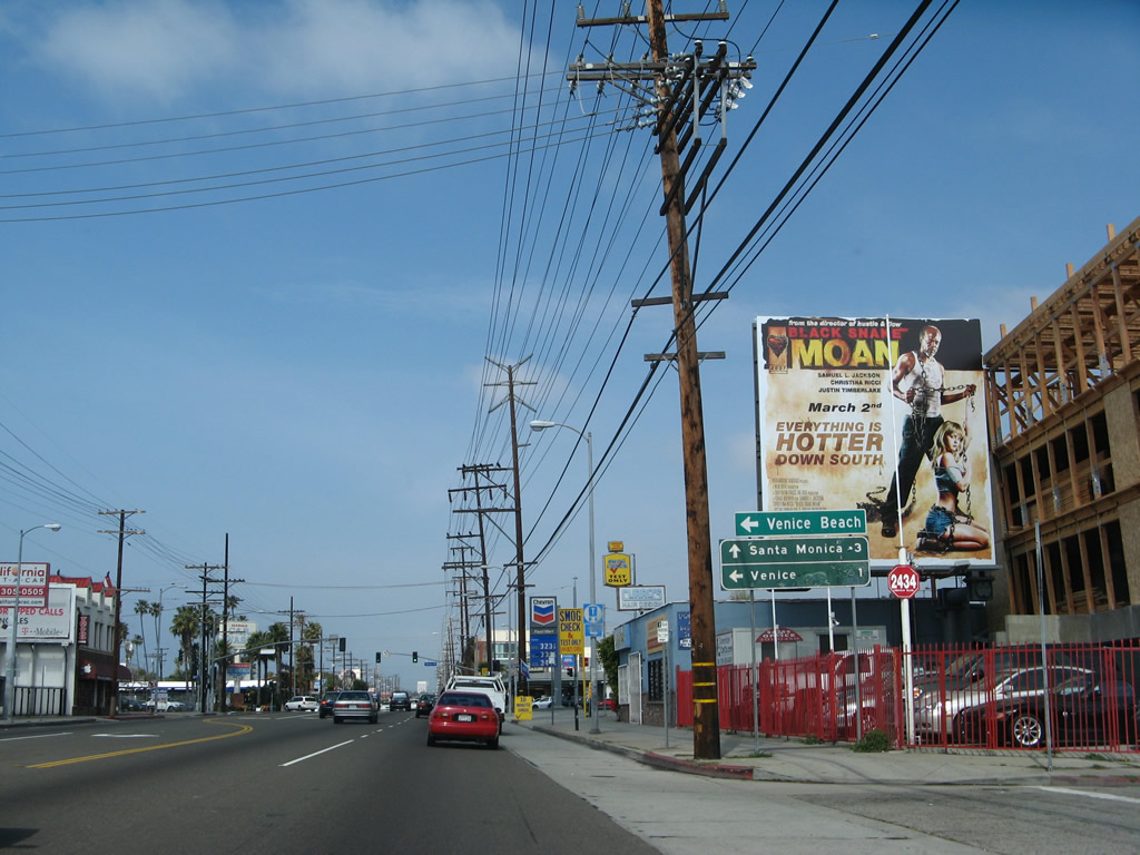
North from Marina Expressway, California 1 (Lincoln Boulevard) leaves Marina del Rey and enters Venice, a community of the city of Los Angeles and one of the Westside districts. Located between Marina del Rey and Santa Monica, Venice includes famous Venice Beach and Muscle Beach. This is the third time California 1 has entered the city of Los Angeles; the first time was near the Ports of Long Beach and Los Angeles at Interstate 110.
03/25/07
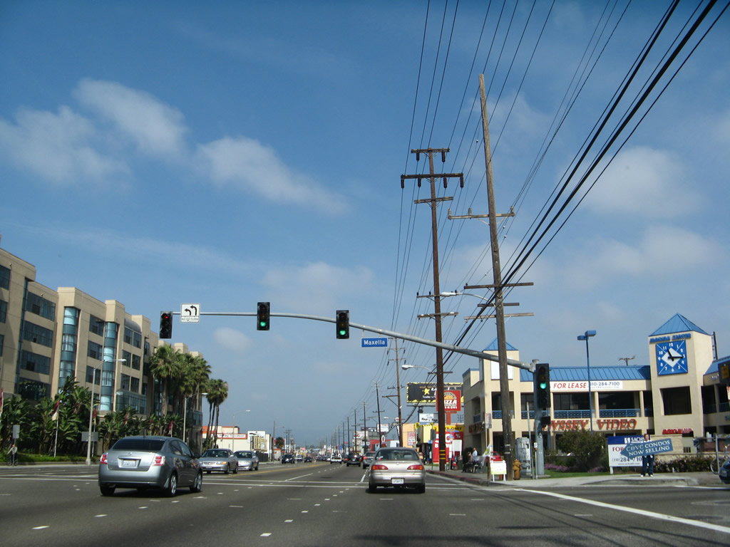
Northbound California 1 (Lincoln Boulevard) at Maxella Avenue.
03/25/07
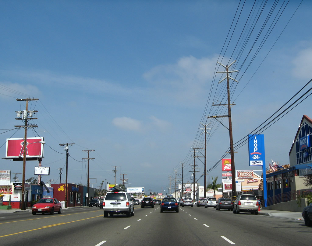
Passing through Venice, California 1 (Lincoln Boulevard) is a largely commercial strip that stays inland from the beach. However, several intersecting streets travel west toward the coast and world-famous Venice Beach.
03/25/07
This California 1 north shield is posted along nortbound Lincoln Boulevard between Washington Boulevard and California 187 (Venice Boulevard).
03/25/07
California 187 (Venice Boulevard) follows Venice Boulevard northeast through the Mar Vista and Palms communities of Los Angeles, skirting the northern edges of Culver City. It ends at Interstate 10 (Santa Monica Freeway) at Exit 7 A near the intersection with La Cienega Boulevard. California 187 is basically unsigned, with no reassurance shields or route markers on intersecting state routes. However, some structures are marked with 187 postmiles.
03/25/07
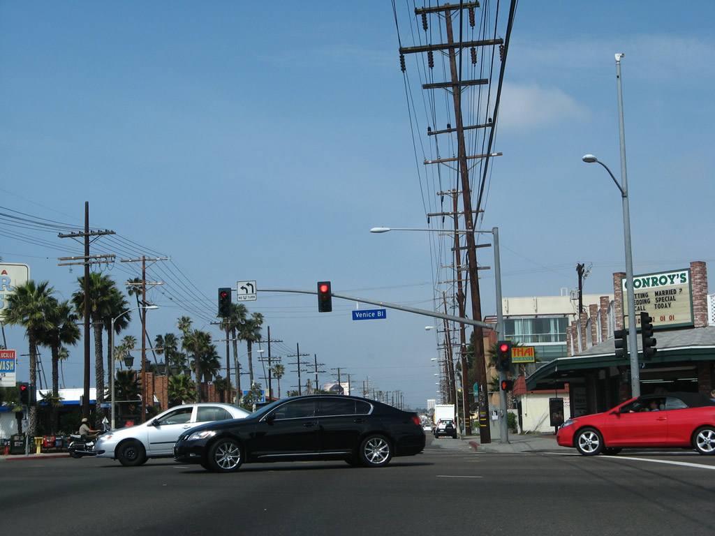
Northbound California 1 (Lincoln Boulevard) meets California 187 (Venice Boulevard) at this signalized intersection. To the west, Venice Boulevard is the most direct route to Venice Beach and Pacific Avenue, which is the closest arterial parallleing the beach and coastline. California 1 stays inland since there is no crossing over the Marina del Rey entrance channel, thus making Pacific Avenue a discontinuous arterial and unavailable for through traffic between Marina del Rey and Playa del Rey.
03/25/07
California 1 tends to be well-signed through Venice. A reassurance shield is posted after California 187 (Venice Boulevard), and this one is found several blocks further to the north after the Superba Avenue intersection.
07/03/05
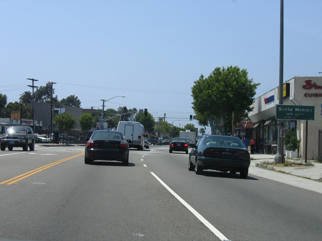
After Rose Avenue, California 1 leaves Venice and enters the city of Santa Monica. Santa Monica had a population of 84,084 people as of the 2000 Census and was incorporated on November 30, 1886. The city is a well-known tourist destination with the famous Santa Monica Pier, Palisades Park on a coastal bluff, the west end of Historic U.S. 66 at the intersection of Lincoln Boulevard and Olympic Boulevard (near today's Interstate 10 and California 1 interchange), and shopping at the Third Street Promenade.
07/03/05
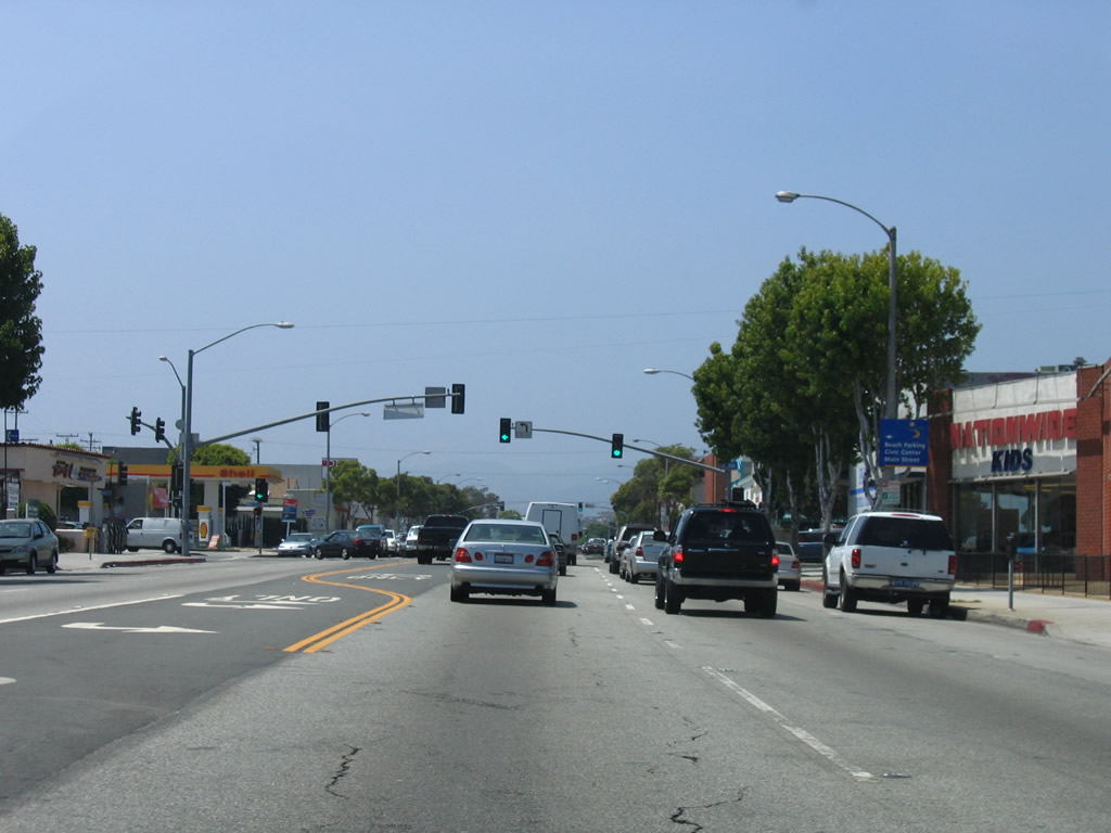
Like in Venice, California 1 serves as a prime arterial corridor with commercial establishments lining both sides of Lincoln Boulevard. The roadway is heavily traveled, especially on weekends as visitors flock to the beach. Pico Boulevard west leads to the Santa Monica Civic Center, Ocean Avenue (the continuation of Pacific Avenue in Santa Monica), and Santa Monica Pier.
07/03/05
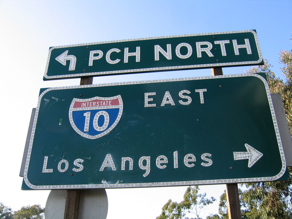
The first sign for Interstate 10 along SR 1 north precedes Michigan Avenue. The interchange with Lincoln Boulevard represents the west end of I-10, as SR 1 overtakes the Santa Monica Freeway west to become the Pacific Coast Highway once again.
07/03/05
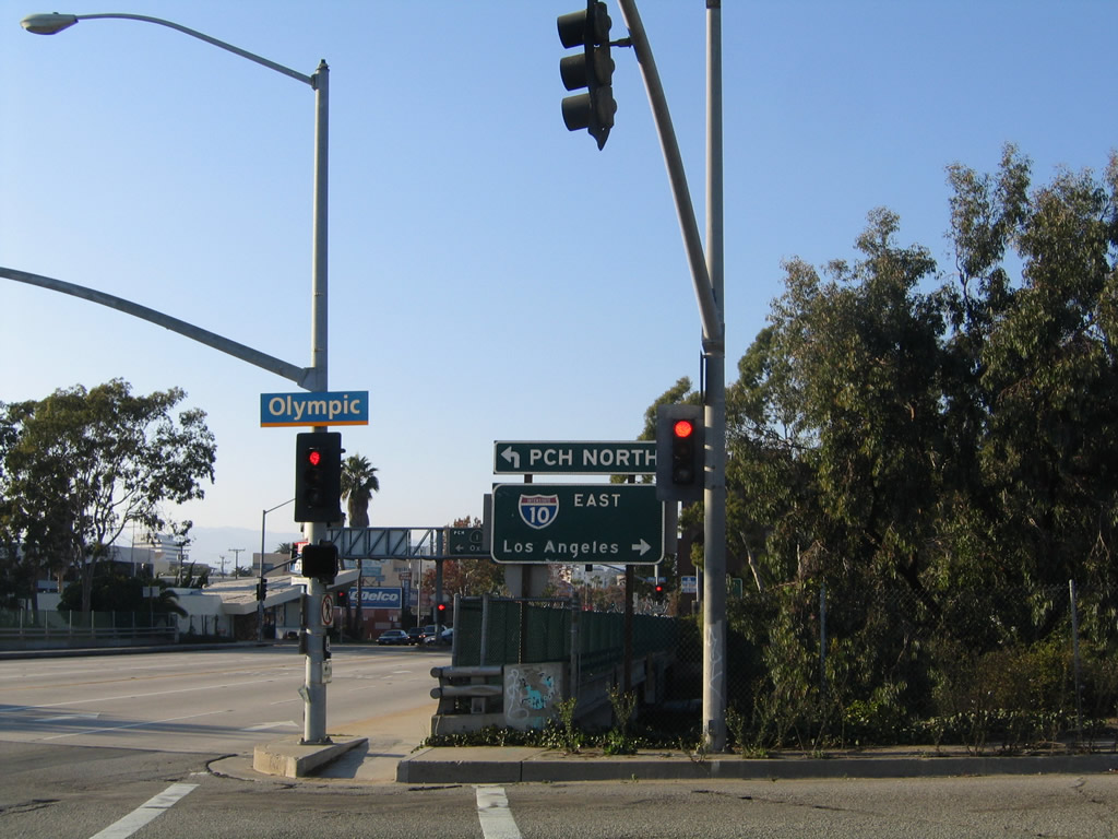
Olympic BOulevard constitutes a service road system for I-10 (Santa Monica Freeway) between SR 1 (Lincoln Boulevard) and 11th Street. The eastbound entrance ramp for I-10 to Downtown Los Angeles lowers from Olympic Boulevard east at adjacent 9th Street.
10/30/05
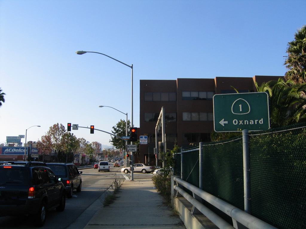
SR 1 (Lincoln Boulevard) spans I-10 ahead of Olympic Boulevard westbound. This intersection is the official west end of Historic U.S. 66, which began at U.S. 101 Alternate and traveled north three blocks on Lincoln Boulevard to Santa Monica Boulevard east toward Hollywood. SR 2 served as the successor to U.S. 66, but the state route was subsequently decommissioned in Santa Monica.
10/30/05
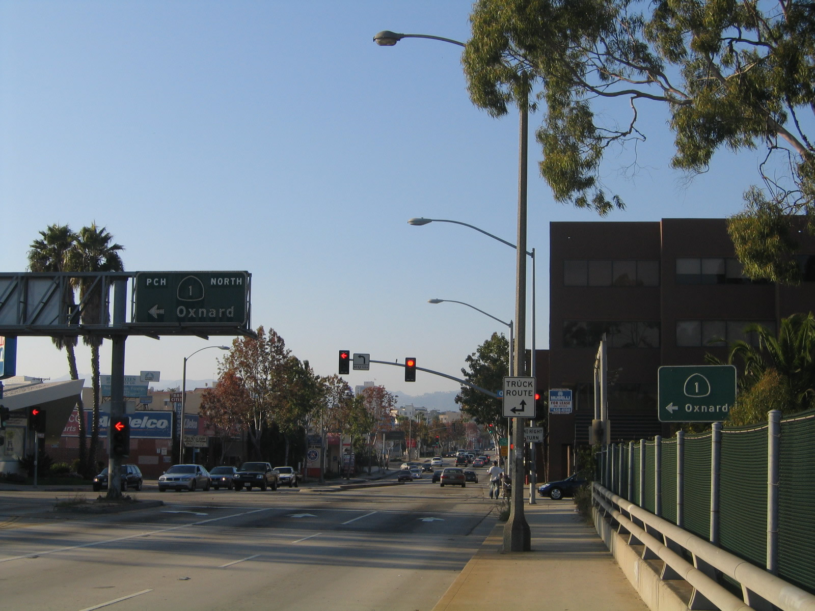
SR 1 follows Olympic Boulevard briefly from Lincoln Boulevard to the entrance ramp for the Santa Monica Freeway west to the Pacific Coast Highway.
07/03/05
SR 1 overtakes the Santa Monica Freeway from the west end of I-10 ahead of the McClure Tunnel.
10/30/05
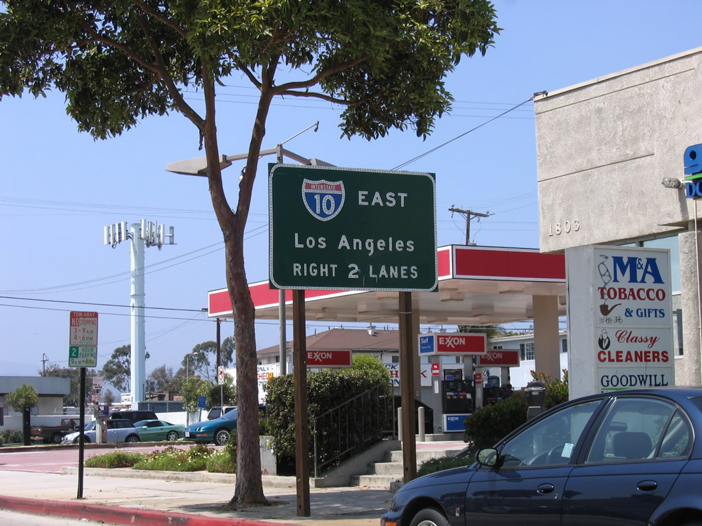
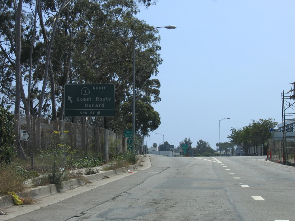
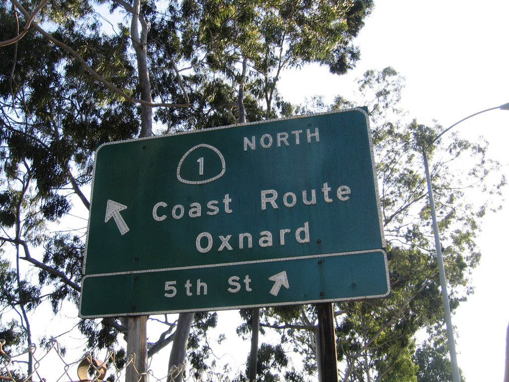
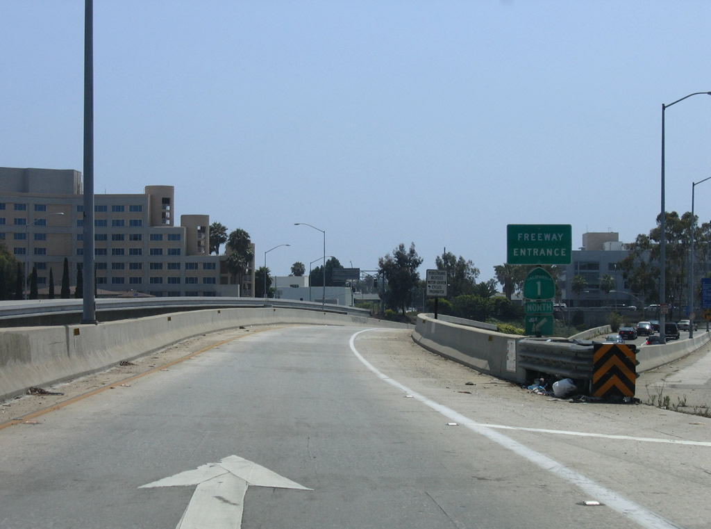
Freeway entrance shield assemblies marks the continuation of California 1 north toward Malibu and Oxnard.
10/30/05
07/03/05
Overtaking the Santa Monica Freeway, SR 1 continues with its most common appellation once again: the Pacific Coast Highway. Traveling below grade, a barrier median separates the four lane freeway at the Main Street over crossing. The concrete arch bridge was built in 1925 as an overpass to Olympic Boulevard, which preceded SR 1 along this stretch.
11/22/07
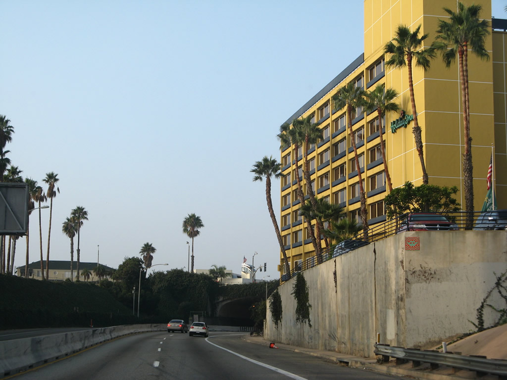
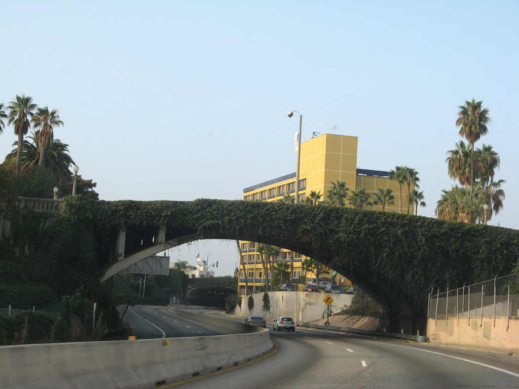
SR 1 passes between a hotel and Tongya Park ahead of the McClure Tunnel, which carries traffic under the Palisades.
11/22/07
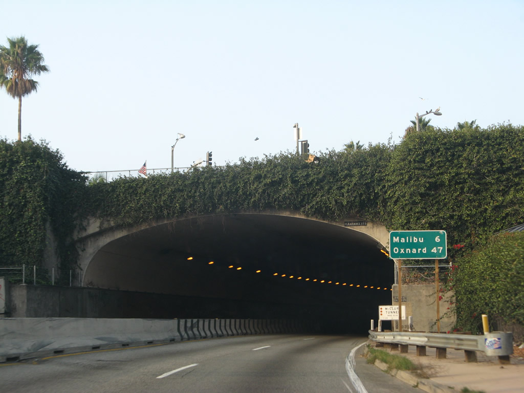
Built between 1935 and 1939 as part of U.S. 101 Alternate, the Robert E. McClure (Palisades) Tunnel is a historic resource in the greater Los Angeles transportation network. The tunnel is not wide enough to meet Interstate standards and thus is not a part of I-10. However, it is part of a dramatic and fitting end to a transcontinental route.
11/22/07
After passing through the Palisades, the McClure Tunnel brings SR 1 (Pacific Coast Highway) alongside the beach in Santa Monica.
11/22/07
California 1 turns from west to north and continues between the beach and the Palisades.
11/22/07
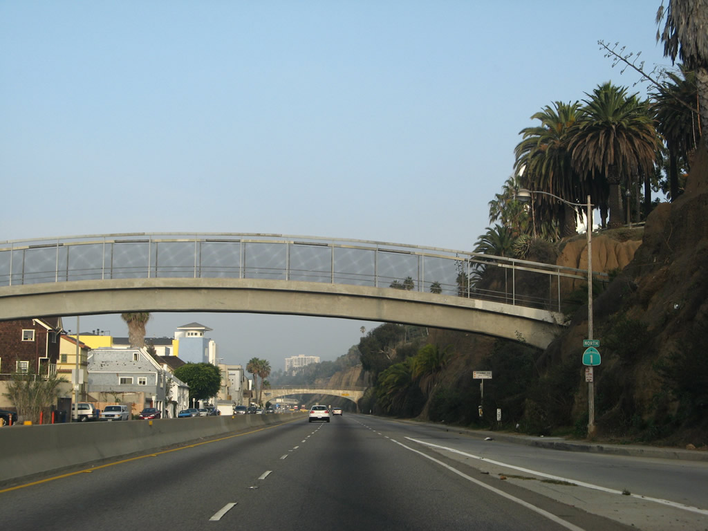
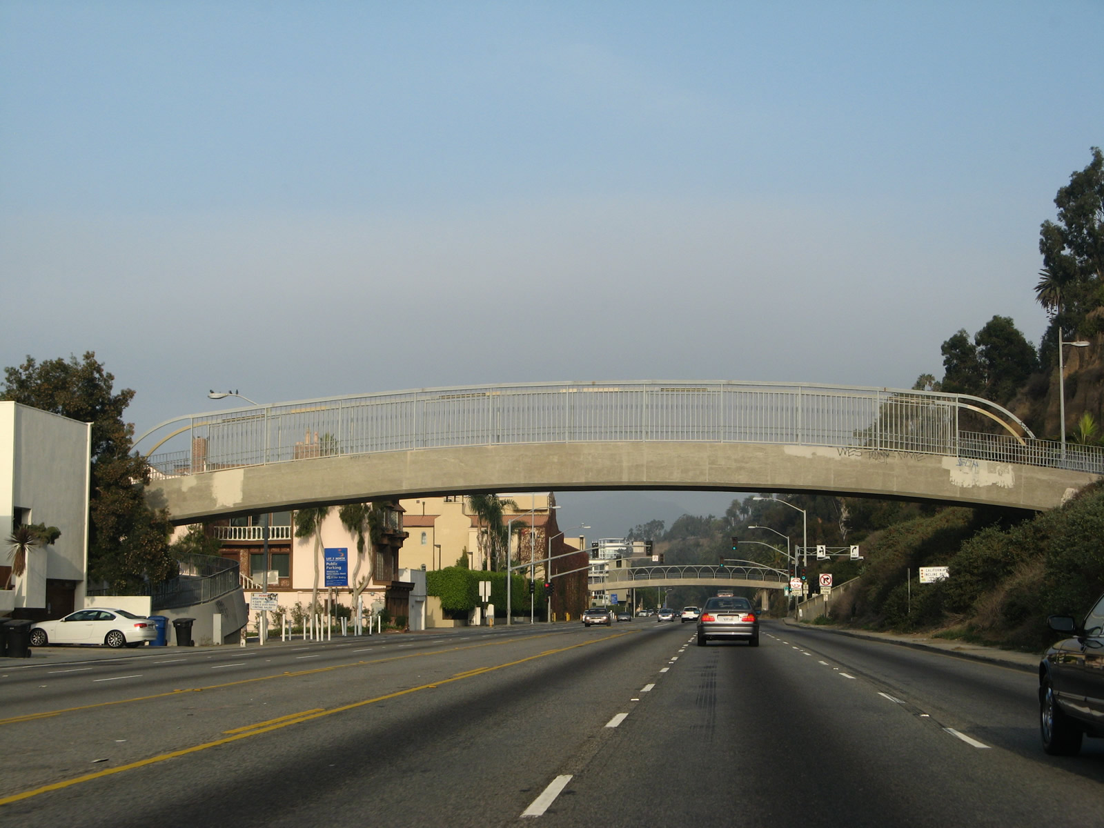
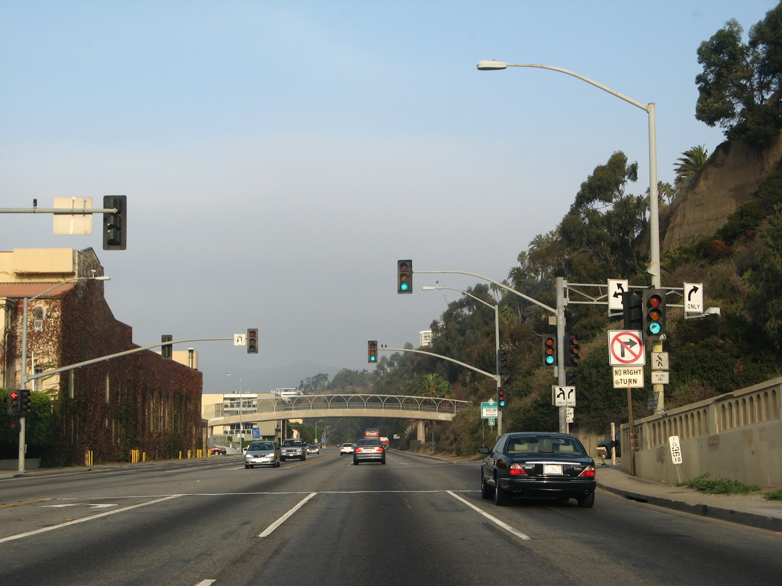
An on-ramp joins the Pacific Coast Highway from the Ocean Avenue at the first of several pedestrian bridges spanning the Pacific Coast Highway in Santa Monica. During peak beach hours, this section of highway can be severely congested.
11/22/07
This view looks north on California 1 (Pacific Coast Highway) from a pedestrian bridge in Santa Monica.
11/11/09
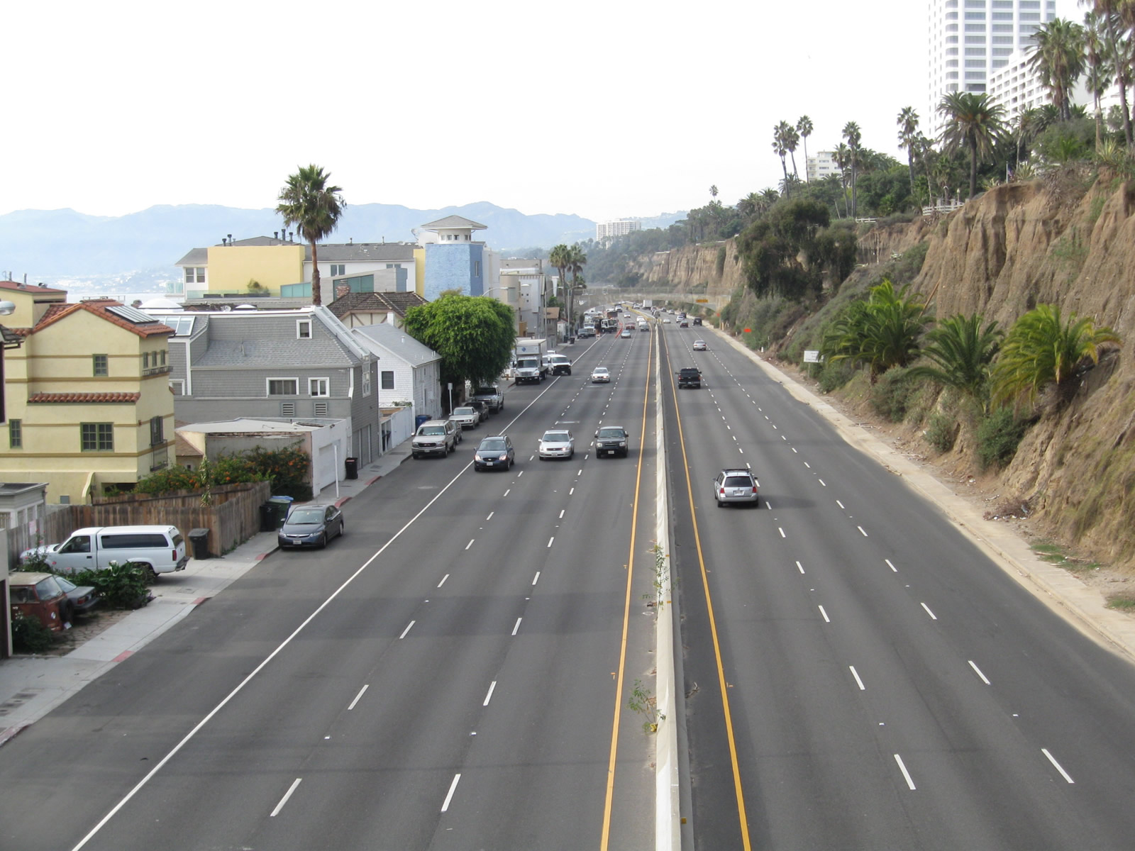
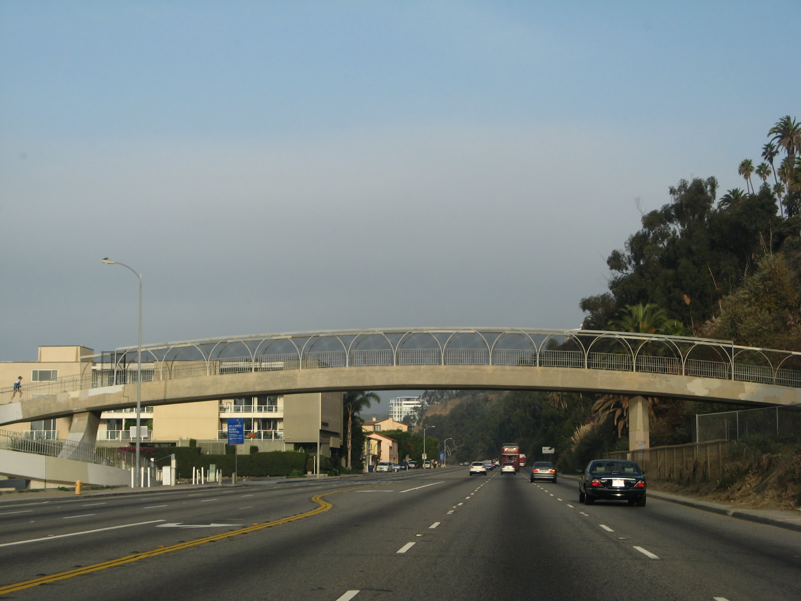
Several houses line the west side of California 1, and the Palisades line the east side as a pedestrian bridge crosses the highway. From here, California 1 proceeds northwest along the coast toward Malibu.
11/22/07
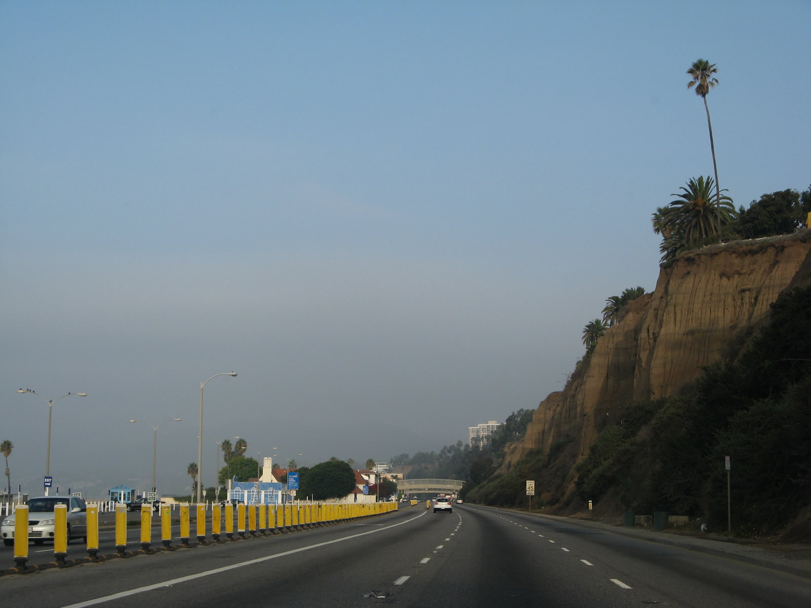
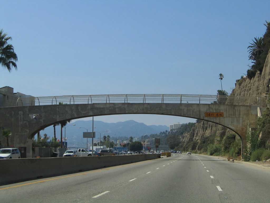
Palisades (sandstone bluffs) separate the Santa Monica central business district from California 1 (Pacific Coast Highway).
11/22/07
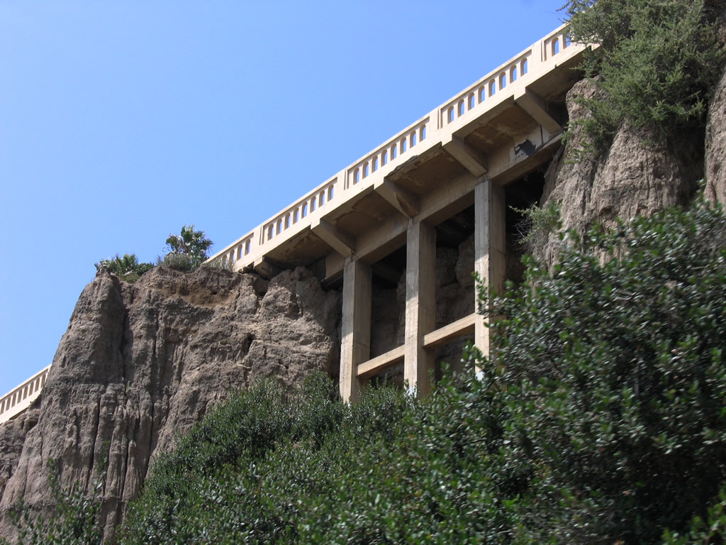
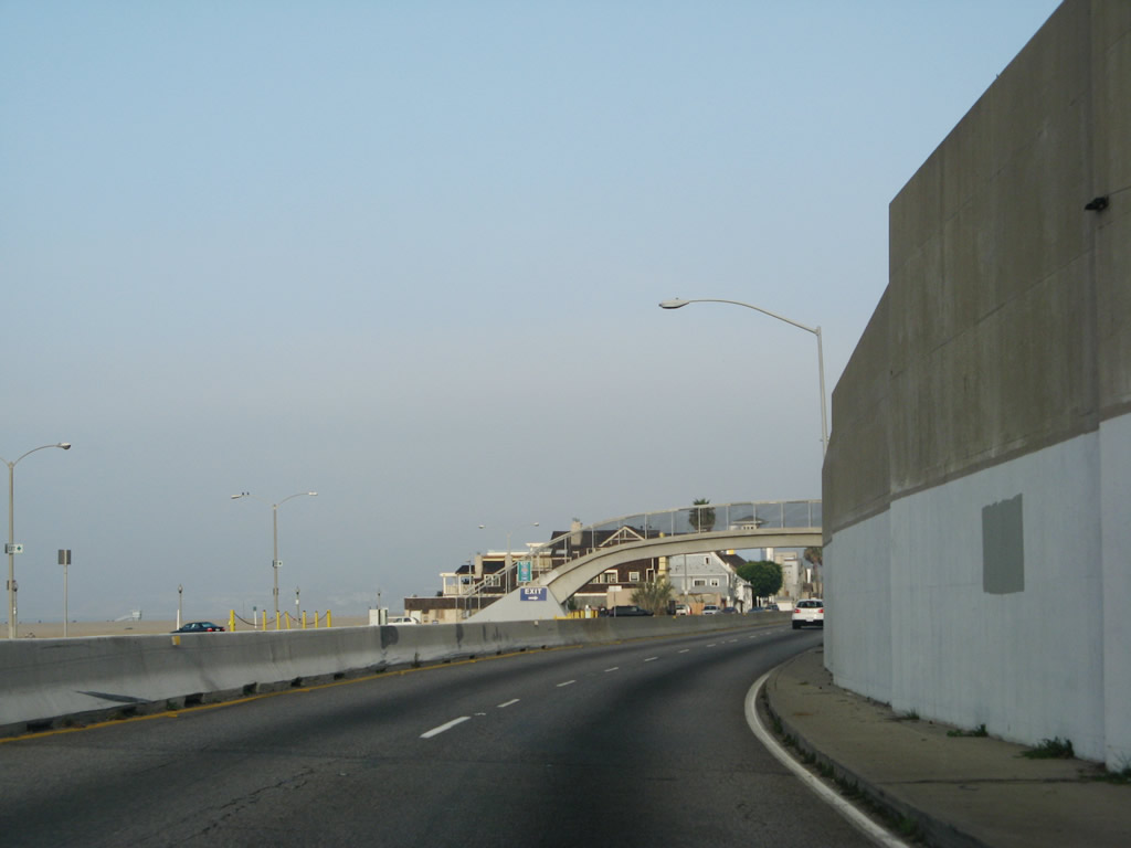
The California Incline connects California Avenue and Ocean Avenue with California 1 (Pacific Coast Highway) in Santa Monica. Bridge structures (sidehill viaducts) and roadway surfaces built into the hillside (approximately 1,400 feet in length) carry the Incline over the irregular bluffs as the street leads downhill; these were largely built in the 1930s. The California Incline itself was first conceived in 1896 as the "Sunset Trail"; the structure seen here was buit in 1930. Starting on April 20, 2015, the city of Santa Monica began construction toreplace the California Incline, with completion in 2016.
07/03/05
The California Incline descends to a signalized intersection with California 1 between pedestrian bridges.
11/22/07
At Postmile LA 36.00, northbound California 1 (Pacific Coast Highway) meets California Incline (California Avenue), which travels southeast into the Santa Monica central business district.
11/22/07
A fourth pedestrian bridge crosses over California 1.
11/22/07
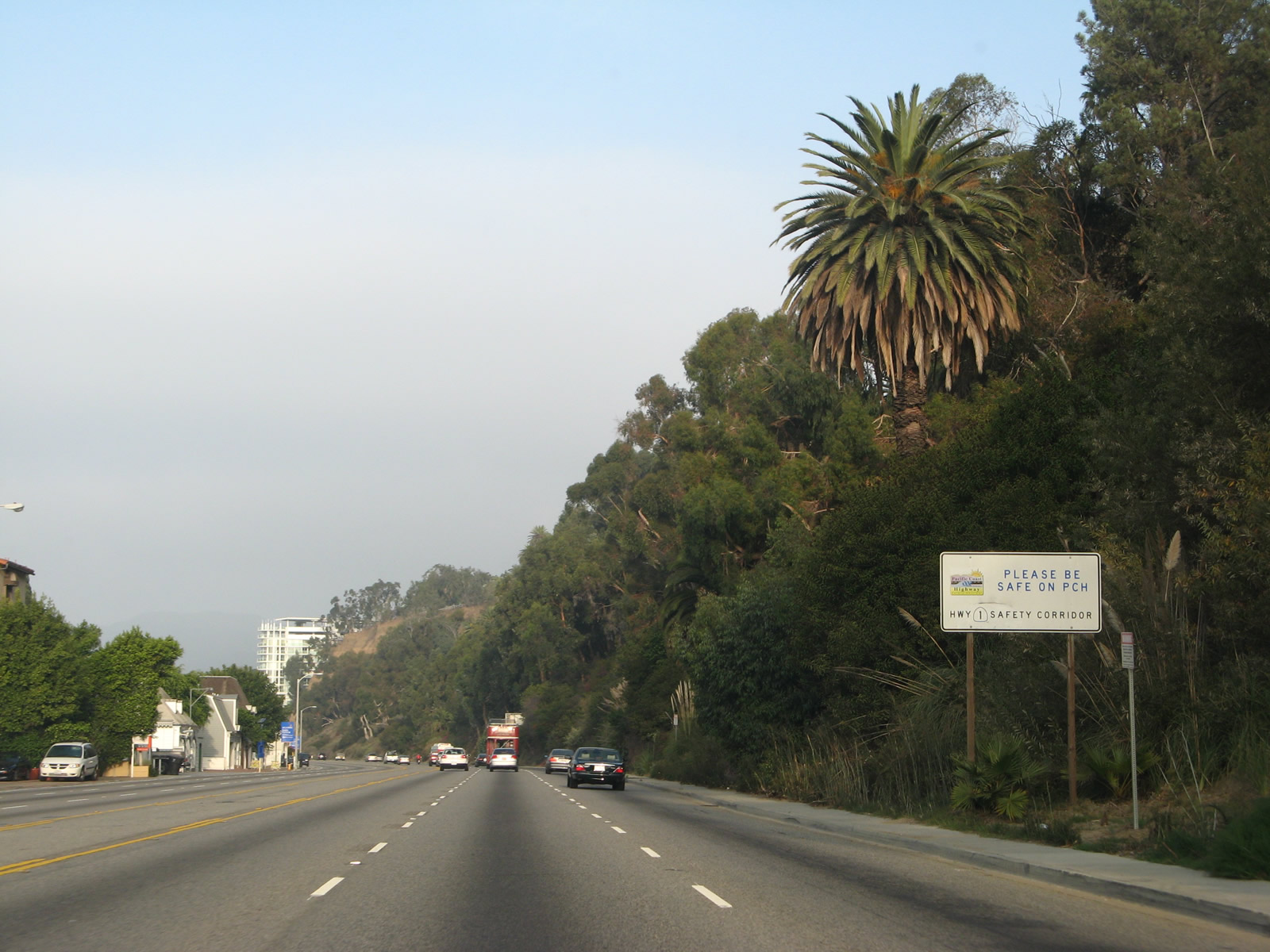
California 1 (Pacific Coast Highway) is a designated safety corridor through Santa Monica, Pacific Palisades (part of Los Angeles), and Malibu.
11/22/07
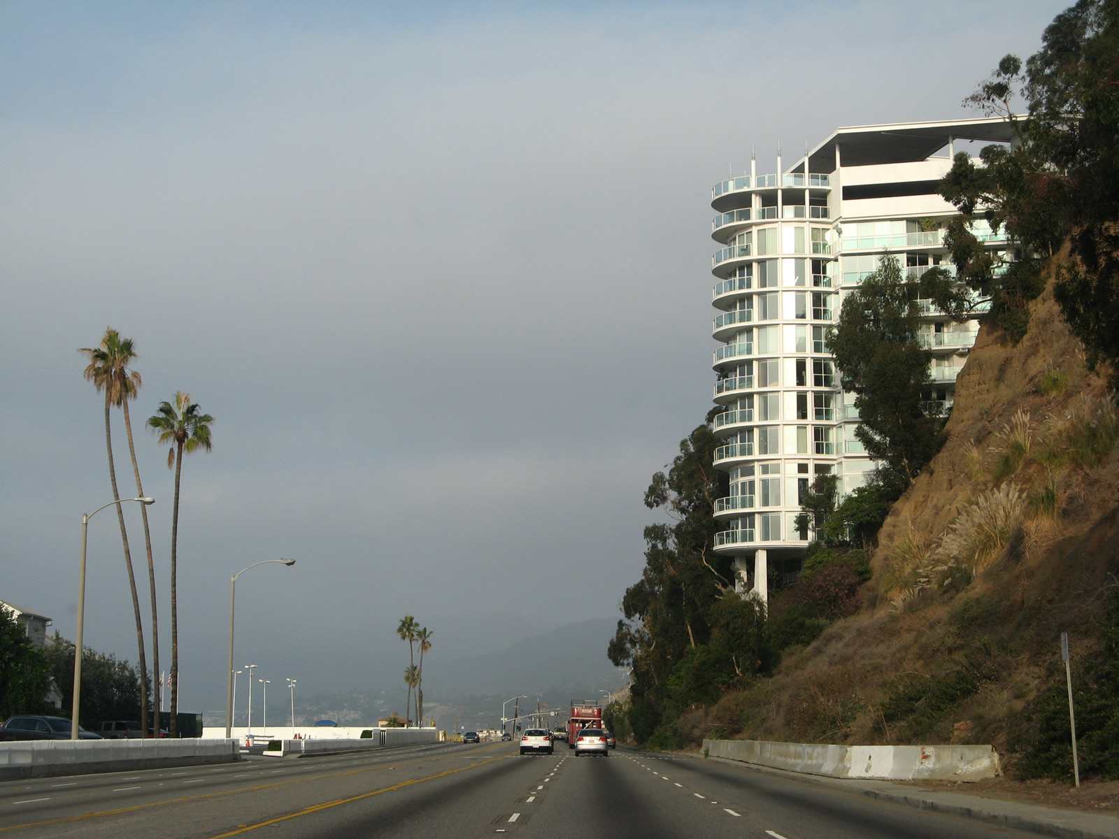
California 1 proceeds with three northbound lanes as it leaves Santa Monica and enters the city of Los Angeles at the community of Pacific Palisades.
11/22/07
Photo Credits:
- Andy Field: 07/03/05, 10/30/05, 03/25/07, 11/22/07, 11/11/09, 02/13/11
Connect with:
Page Updated Sunday January 03, 2016.