
State Route 2
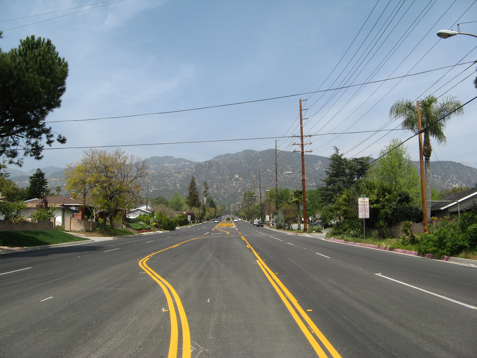
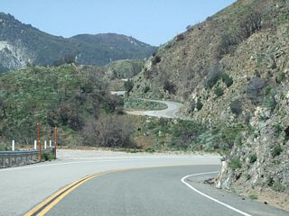
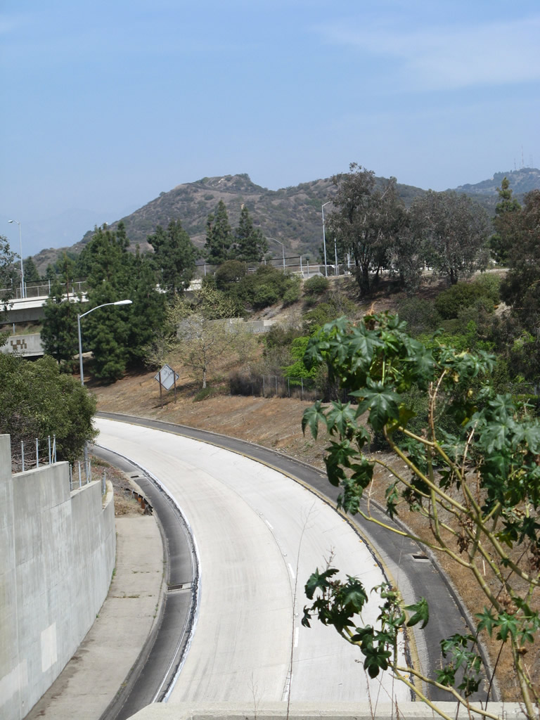
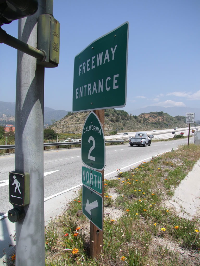
Within La Canada-Flintridge, California State Route 2 almost immediately starts to gain elevation as it enters the foothills of the San Gabriel Mountains on the Angeles Crest Highway. The highway is mostly two lanes, but initially has five lanes just north of Interstate 210 (Foothill Freeway). - 03/25/2007
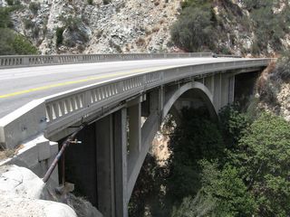
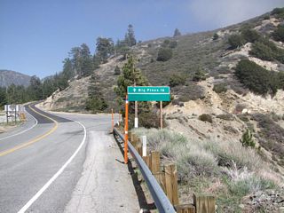
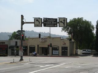
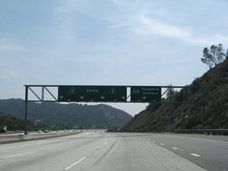
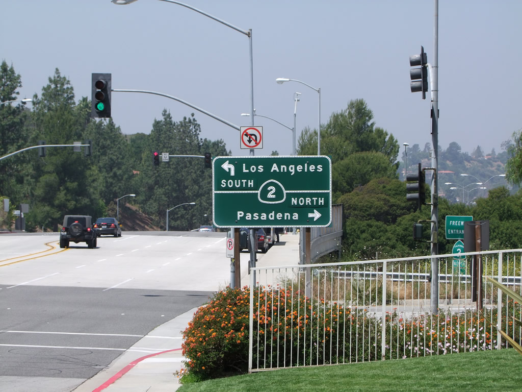
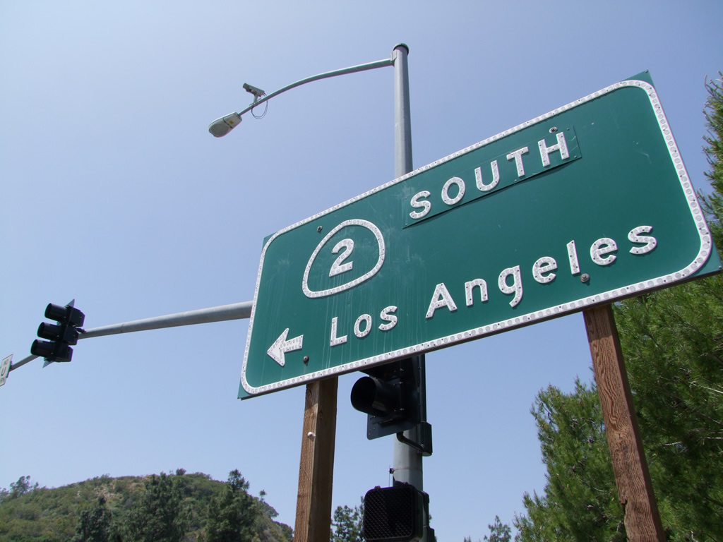
California 2 connects Santa Monica with Phelan via Beverly Hills, Los Angeles, Glendale, and Wrightwood. Beginning in Santa Monica at the historic intersection of Alternate U.S. 101 and U.S. 66 (Lincoln and Olympic), California 2 follows Historic U.S. 66 along Santa Monica Boulevard, then turns north on its own alignment through the Echo Park neighborhood of Los Angeles. The route between Echo Park and La Canada Flintridge follows the Glendale Freeway. The majority of its miles are on the scenic Angeles Crest Highway, which passes through the San Gabriel Mountains (Angeles National Forest) before ending at California 138 near Phelan. Portions of the Angeles Crest Highway were impacted by the heavy rains of Winter 2004-2005, and sections of the Angeles Crest Highway remain closed as of April 2007.
California State Route 2 Guides
- Andy Field: 03/25/07
East

U.S. 101 to Interstate 210 - 67 photos
West
Interstate 210 to U.S. 101 - 45 photos
Historic U.S. 66 - U.S. 101 to California 1 - 10 photos
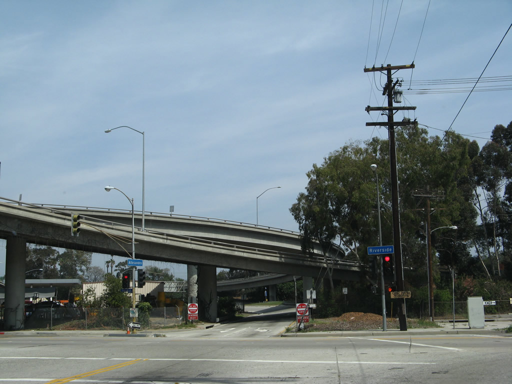
Northbound Allesandro Street meets Riverside Drive in Los Angeles. The Interstate 5 (Golden State Freeway) and California 2 (Glendale Freeway) interchange is visible ahead. Not visible behind the freeway is the Los Angeles River.
03/25/07
Southbound Riverside Drive approaches Newell Street. Turn left east on Newell Street to the on-ramp for California 2 (Glendale Freeway) north to Glendale.
03/25/07
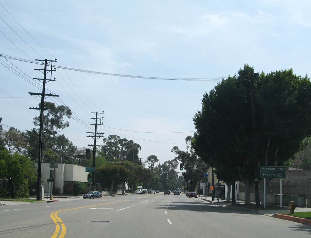
Now looking in the other direction, northbound Riverside Drive approaches Newell Street. Turn right (east) on Newell Street to the on-ramp for California 2 (Glendale Freeway) north to Glendale. Continue north on Riverside Drive to California 2 south to Glendale Boulevard.
03/25/07
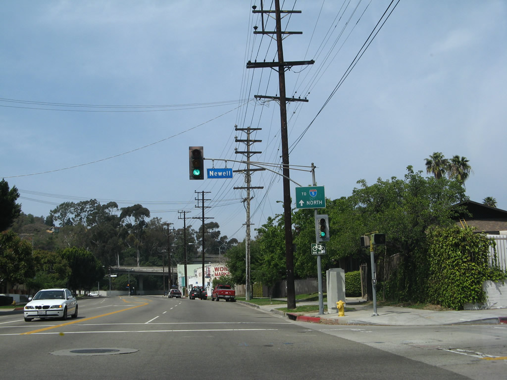
Northbound Riverside Drive meets Newell Street. An Interstate 5 trailblazer is also posted on the traffic signal pole.
03/25/07
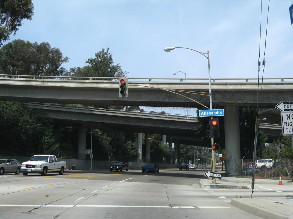
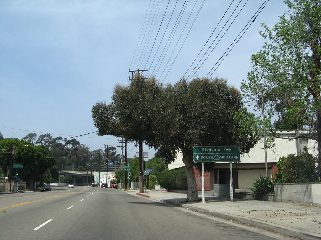
Soon thereafter, northbound Riverside Drive meets Allesandro Street. The California 2 freeway passes over Riverside Drive.
03/25/07
After passing under California 2, the next right connects to California 2 (Glendale Freeway) south to Echo Park.
03/25/07
Northbound Riverside Drive meets the on-ramp to California 2 (Glendale Freeway) south to Echo Park.
03/25/07
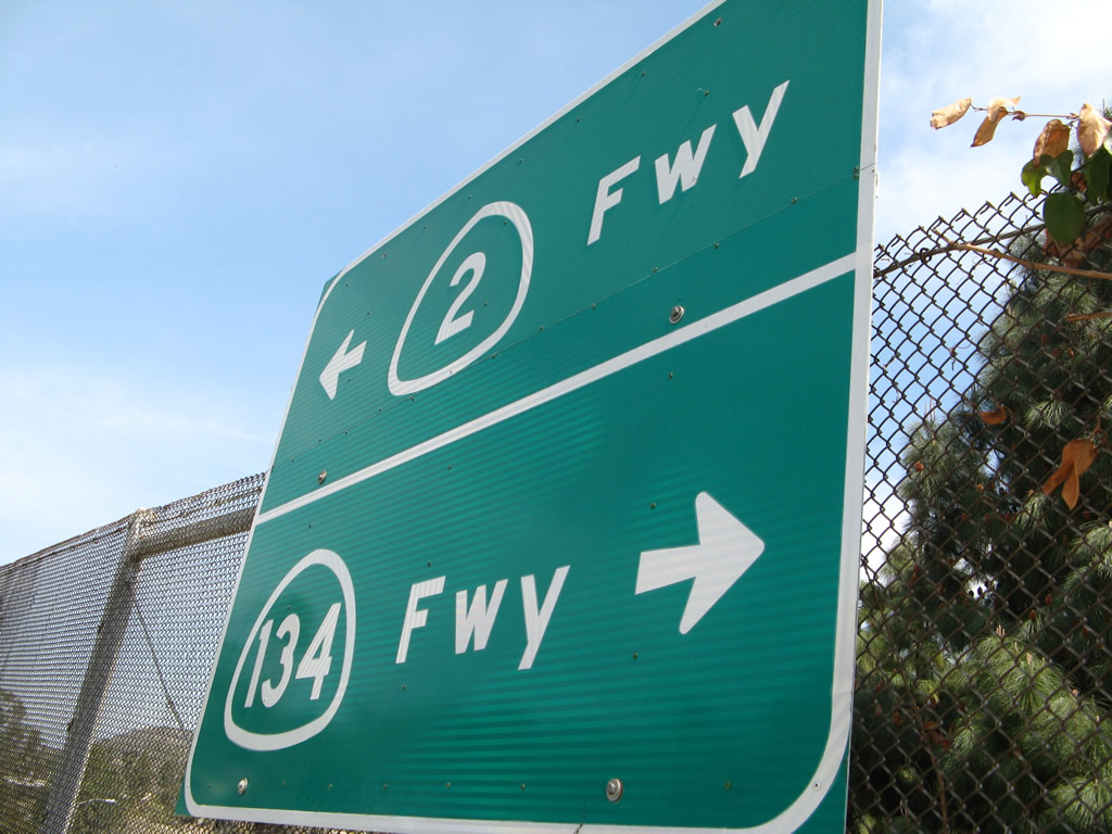
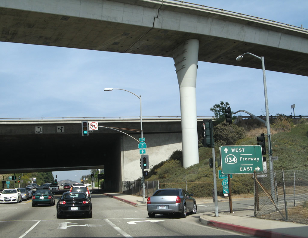
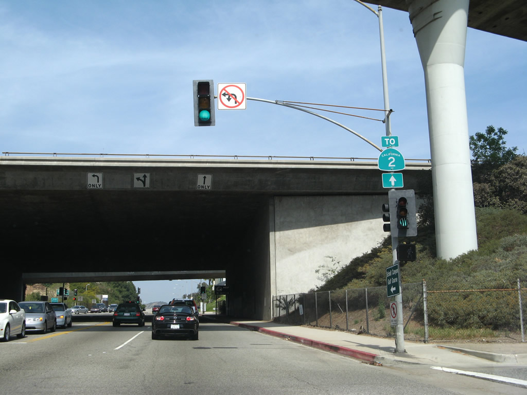
In Glendale, eastbound Wilson Terrace meets Harvey Drive near an In-N-Out Burger Restaurant. This sign points the way to California 2 and California 134, since this intersection is just northwest of the 2-134 interchange. Directly behind and underneath this intersection is a transition ramp from California 2 south to California 134 west.
03/25/07
This shot shows the transition ramp from California 2 south to California 134 west as seen from Harvey Drive near Wilson Terrace in Glendale.
03/25/07
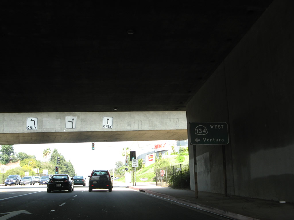
Through the California 2-134 interchange in Glendale, Harvey Drive parallels the California 2 freeway and offers connections to both directions of California 134. This series of pictures follows Harvey Drive from Broadway north to Holly Drive.
03/25/07
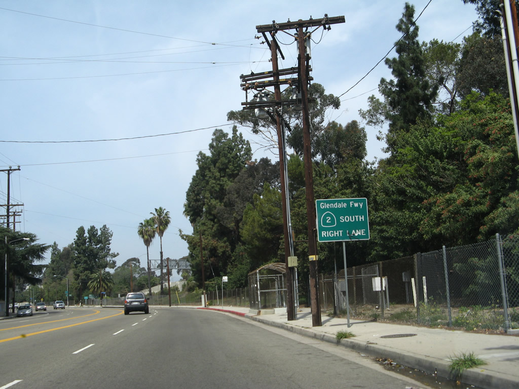
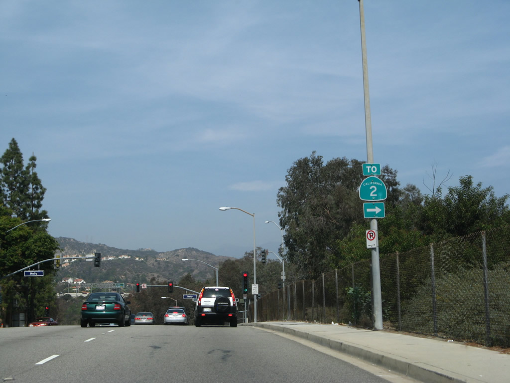
Westbound Camino San Rafael approaches the on-ramp to California 2 (Glendale Freeway) north to Pasadena (with a connection via California 134 east) and south to Los Angeles and Echo Park at Exit 18. Ahead, Camino San Rafael becomes Mountain Street. Photo taken 05/15/10 by Martin Grahl.
This freeway entrance shield assembly for California 2 north is posted on the on-ramp from westbound Camino San Rafael in Glendale. Photo taken 05/15/10 by Martin Grahl.
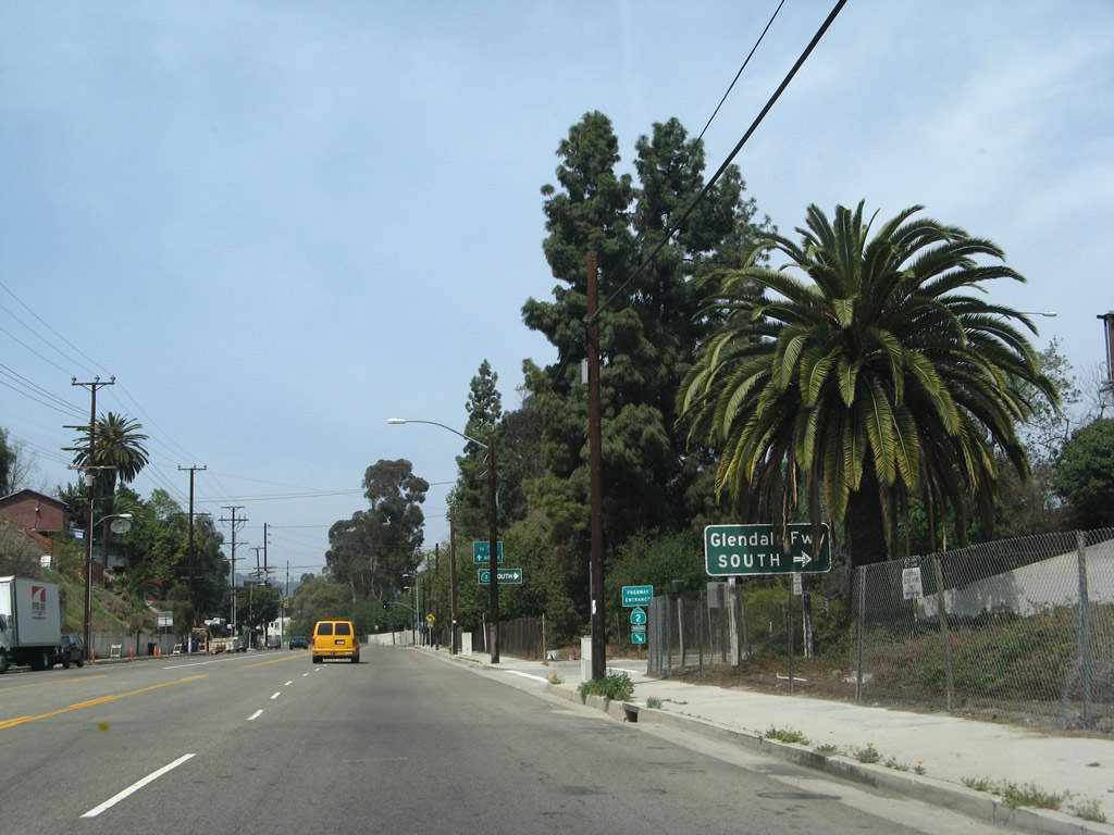
After passing over California 2, Camino San Rafael/Mountain Street meets the on-ramp to California 2 south to Los Angeles and Echo Park. Photo taken 05/15/10 by Martin Grahl.
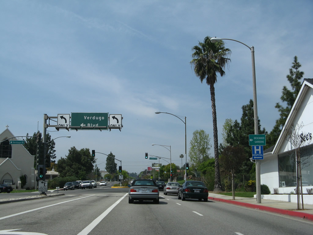
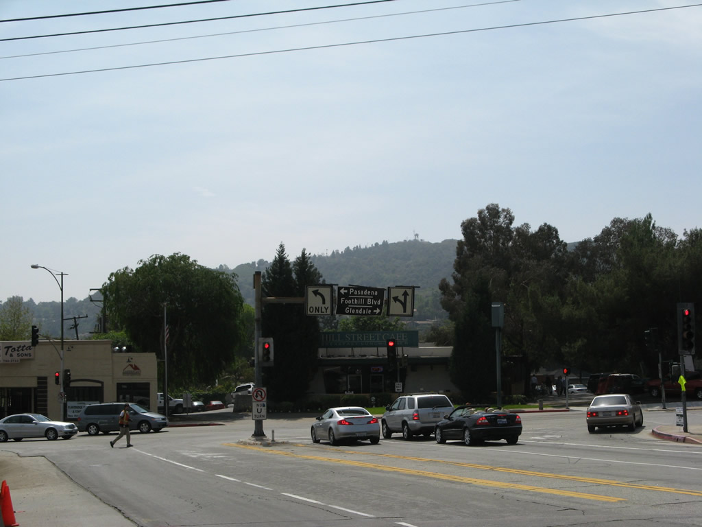
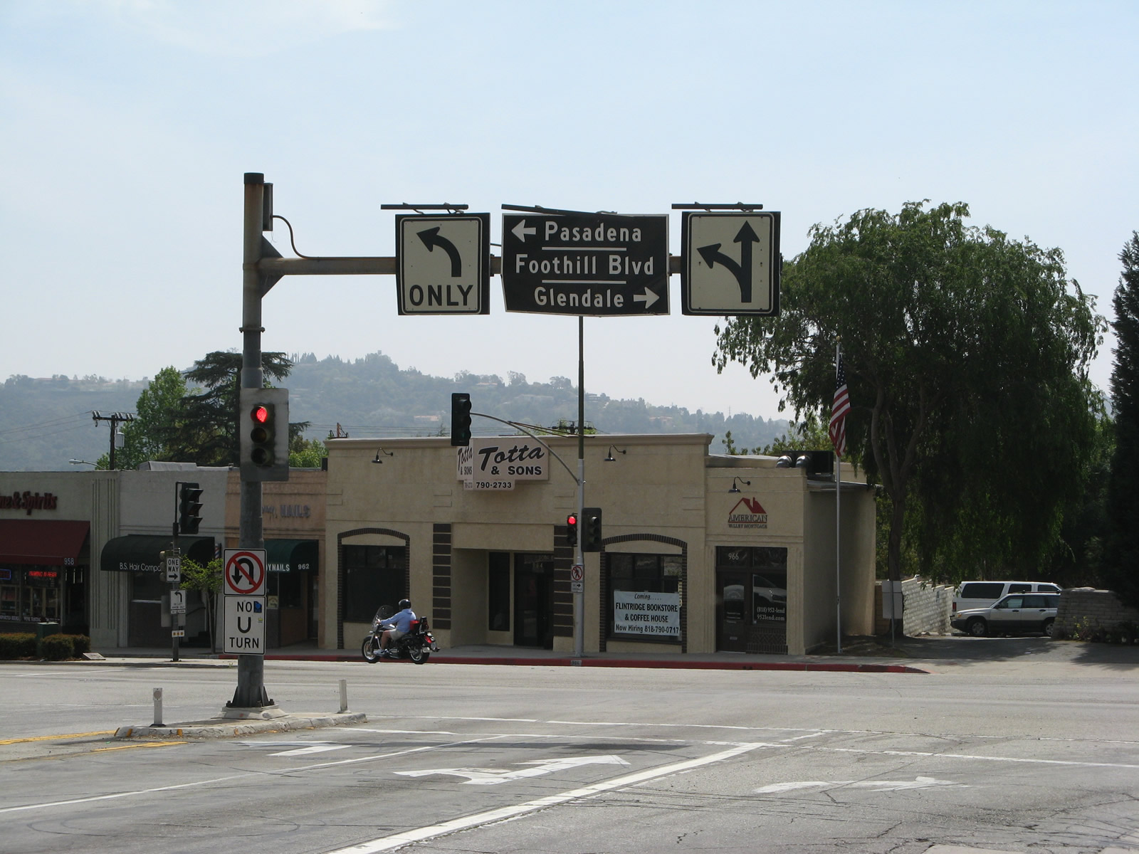
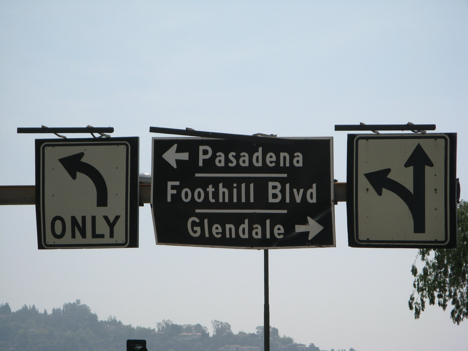
Now in La Canada Flintridge, eastbound Foothill Boulevard (former California 118) approaches Verdugo Boulevard, which served as California 2 until the Glendale Freeway was completed in stages through the 1970s. This overhead sign includes space for the California 2 route marker.
03/25/07
A short distance further east, Foothill Boulevard (former California 118) approaches the turnoff to the Glendale Freeway, which carries California 2 southwest toward Interstate 5 and Echo Park.
03/25/07
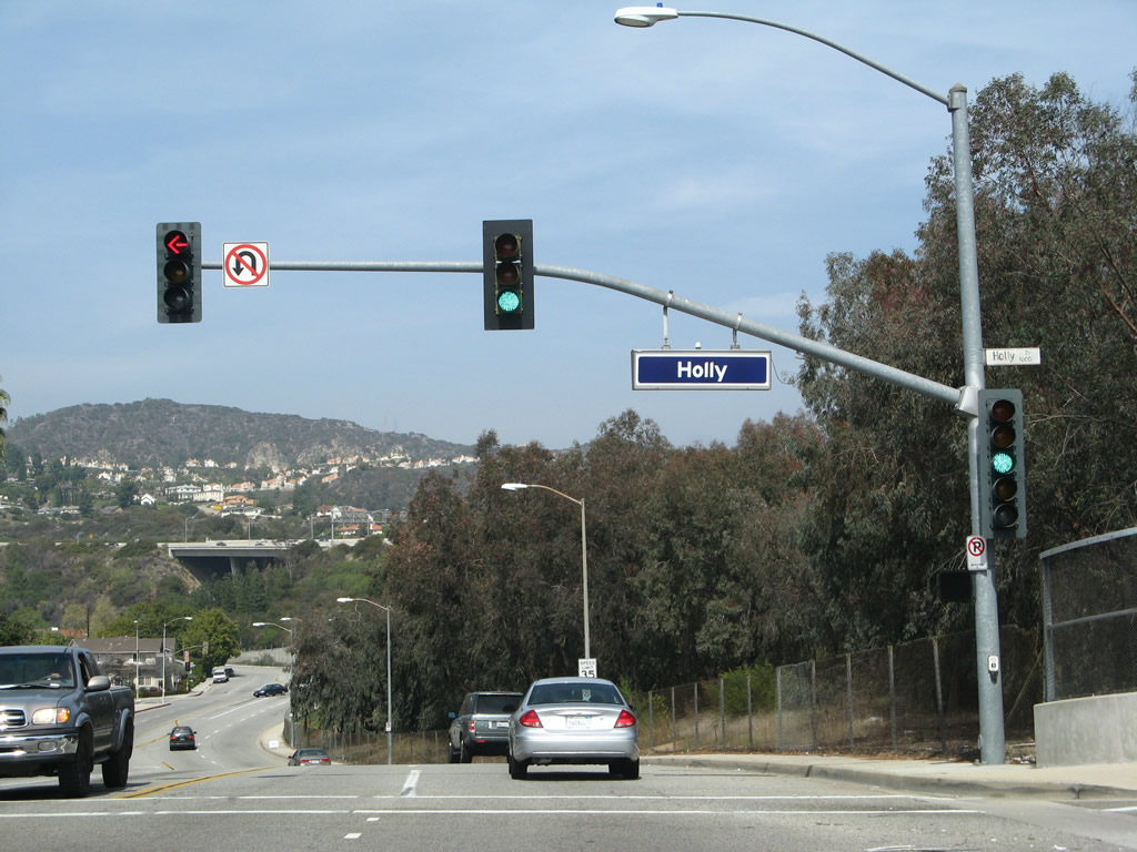
After the interchange with Interstate 210 (Foothill Freeway), southbound Angeles Crest Highway (former California 2) approaches Foothill Boulevard (former California 118). Until around 2009, this old, porcelain enamel black guide sign was posted on the traffic signal. With redevelopment of this area, the historic sign was removed and traffic signals replaced.
03/25/07
Photo Credits:
Connect with:
Page Updated Saturday January 28, 2012.