
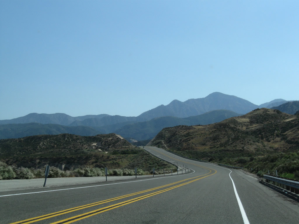
State Route 138
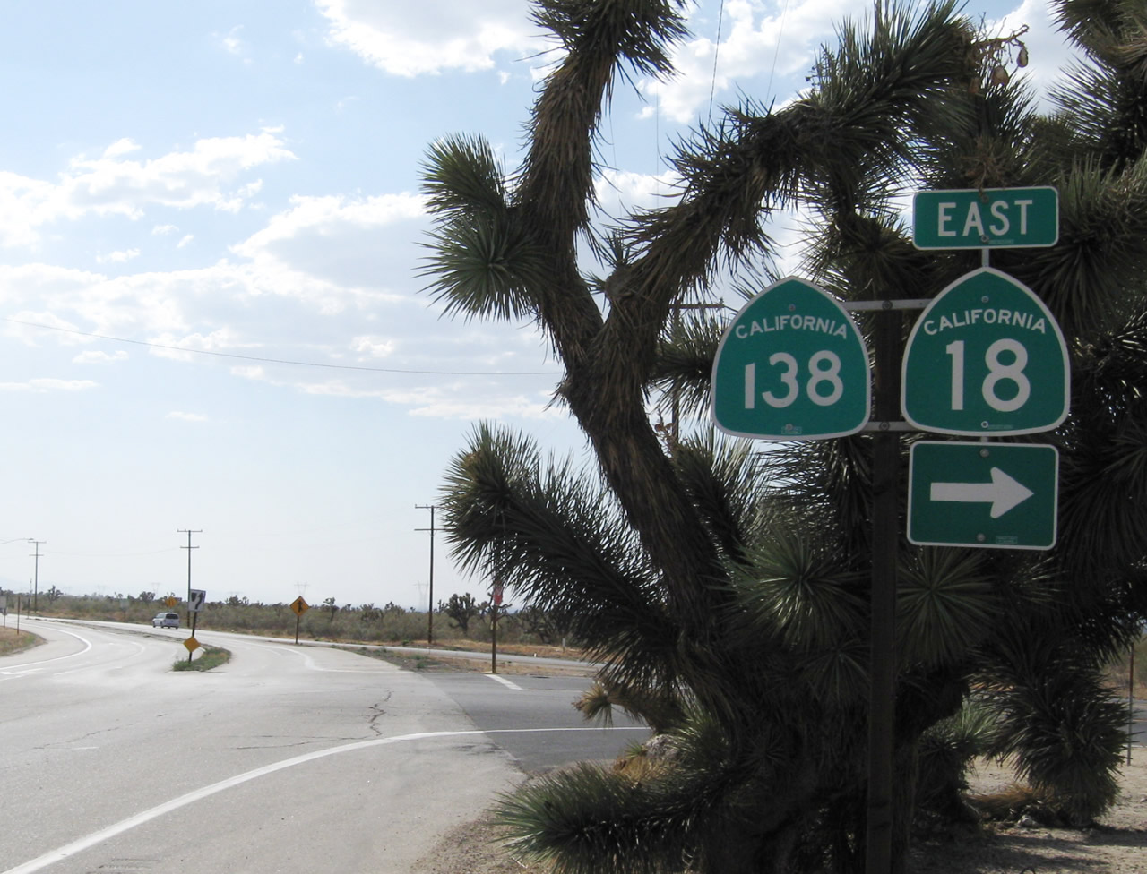
Northwest of Phelan, California State Route 138 converges with SR 18 (Pearblossom Highway) in the southern Mojave Desert. SR 138 proceeds west from here toward Littlerock and Palmdale. - 06/27/2009
Located in Los Angeles and San Bernardino Counties, California 138 is a major east-west highway in the High Desert, linking Interstate 5 near Gorman with Interstate 15 near Mormon Rocks and California 18 near Crestline. California 138 connects to other state routes, including an overlap with California 14 (Antelope Valley Freeway) through Lancaster and Palmdale as well as a link to California 2 (Angeles Crest Highway) near Wrightwood.
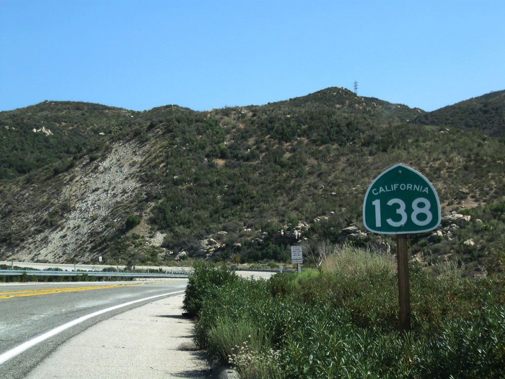
California 138 parallels the San Andreas Fault along the northern edge of the San Gabriel Mountains. The route was intended as forming a northern bypass of the Los Angeles Bypass along the "Metropolitan Bypass." however, California 138 is mostly two-lane highway with future expansion into freeway unlikely.
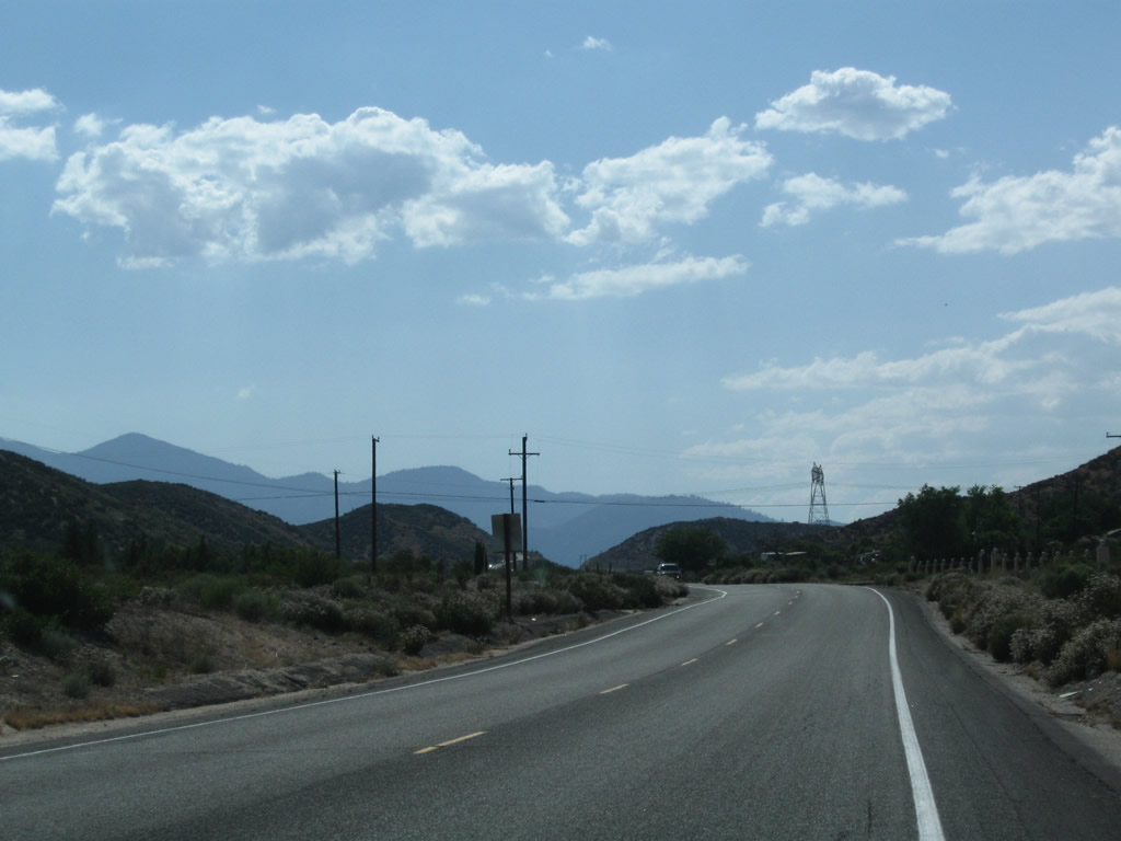
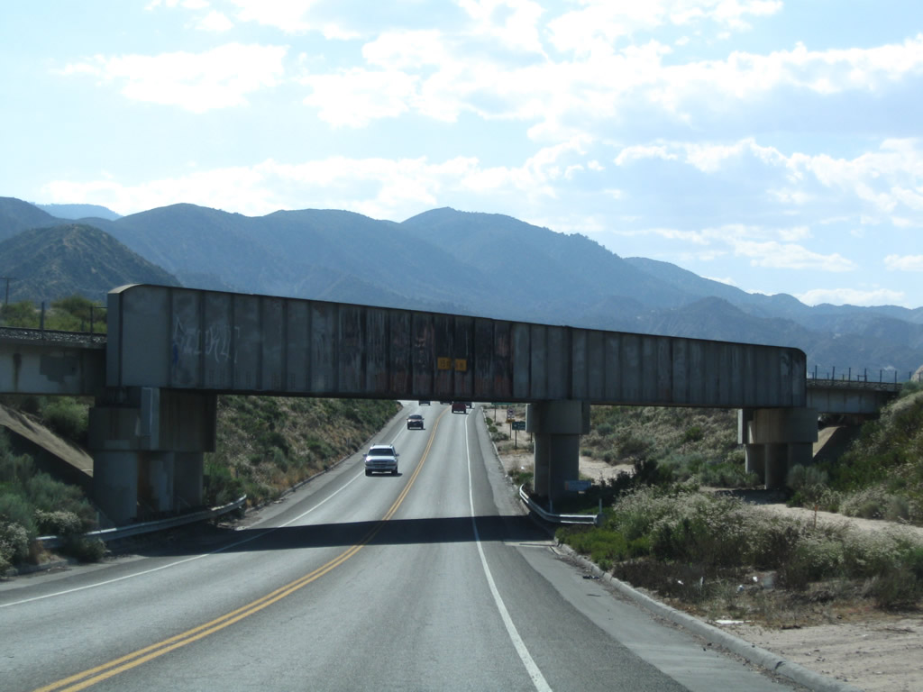
Leaving Mormon Rocks, eastbound California 138 passes over the Burlington Northern Santa Fe (BNSF) Railroad and descends toward its junction with Interstate 15, which travels south to San Bernardino, Riverside, and San Diego or north to Victorville, Barstow, and Las Vegas. California 138 will continue through this interchange to Cajon Pass, Silverwood Lake, Valley of Enchantment, and Crestline.
06/27/09
Eastbound California 138 passes over the Burlington Northern Santa Fe (BNSF) Railroad. The freeway comes into view after this rise.
06/27/09
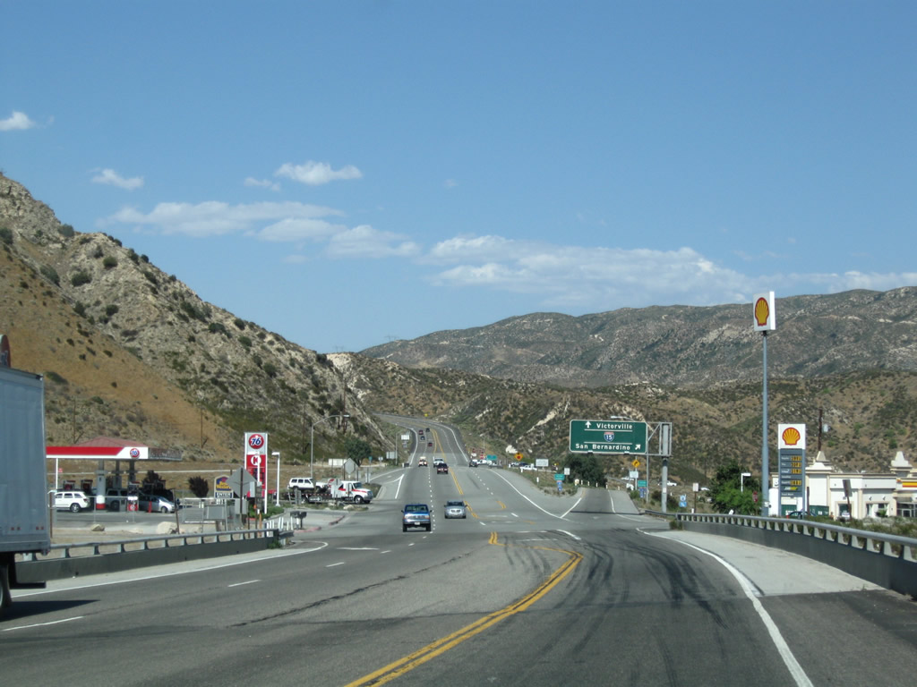
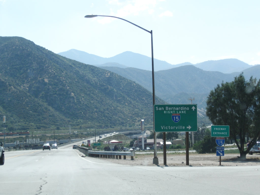
Gas and food are available at the interchange between Interstate 15 and California 138.
06/27/09
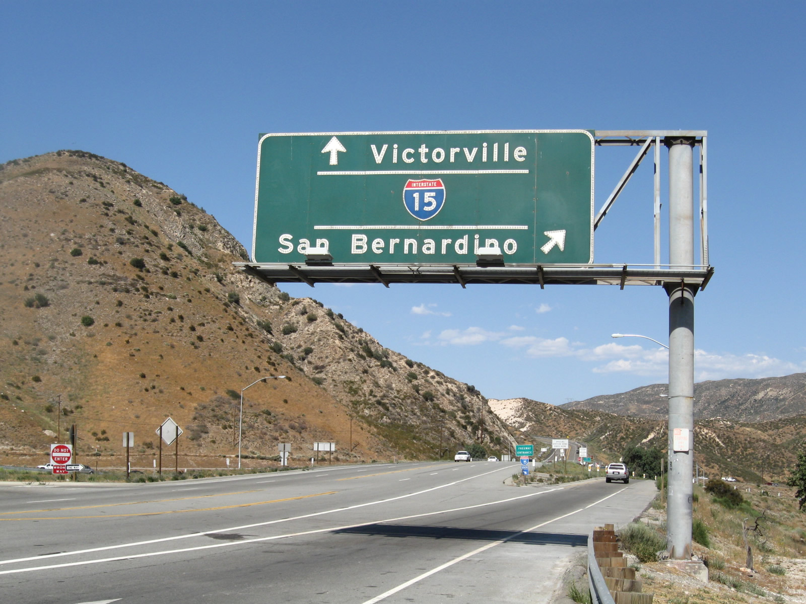
A porcelain enamel sign, mounted over the eastbound lanes of California 138, provides guidance for motorists embarking onto Interstate 15. The first ramp connects to Interstate 15 south to San Bernardino, Riverside, and San Diego. The next left will connect to Interstate 15 north to Victorville, Barstow, and Las Vegas (at the stop sign).
06/27/09
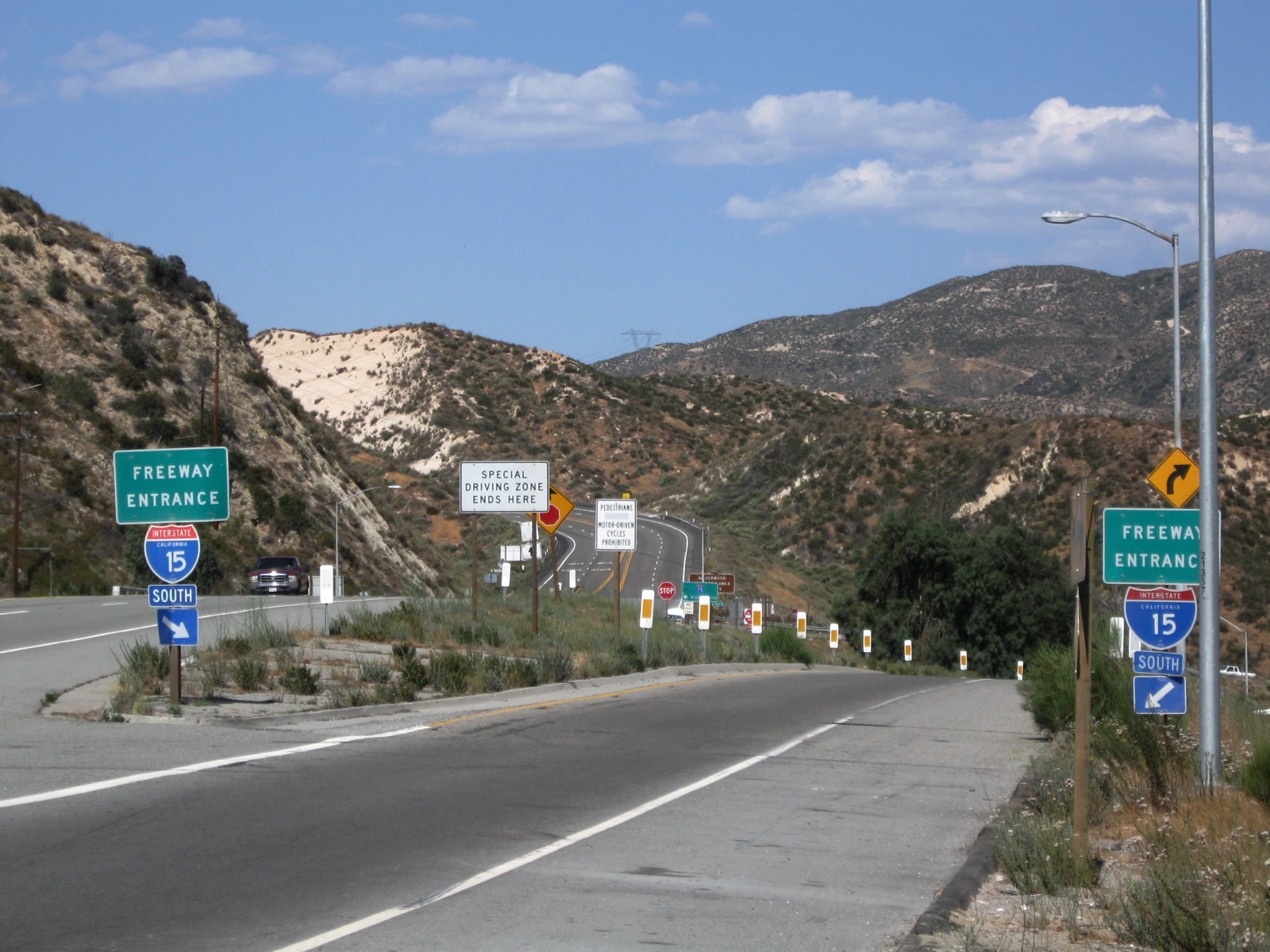
A pair of freeway entrance signs flank both sides of the ramp from California 138 east to Interstate 15 south to San Bernardino.
06/27/09
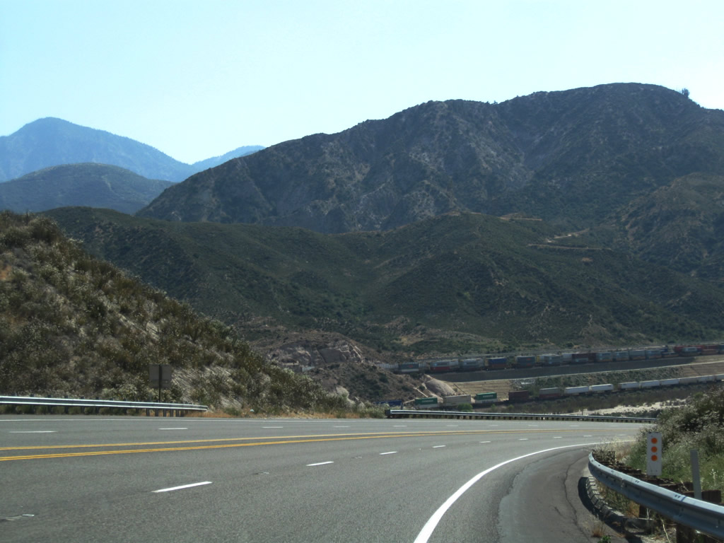
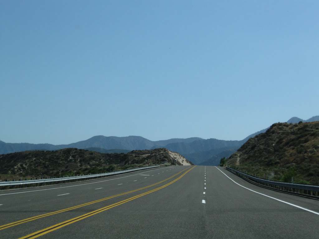
After passing Interstate 15, California 138 leaves the path of the proposed Metropolitan Bypass and begins to ascend to Cajon Pass as a much less traveled highway than the congested highway west of here.
04/18/04
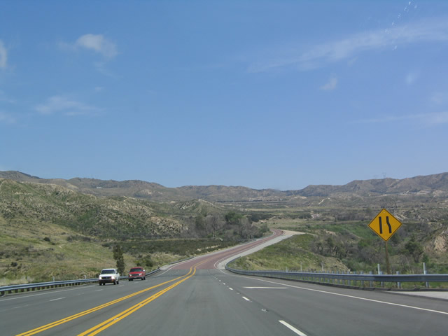
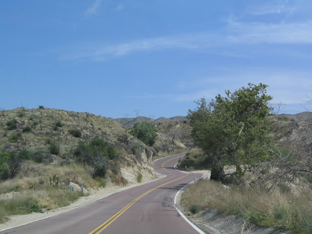
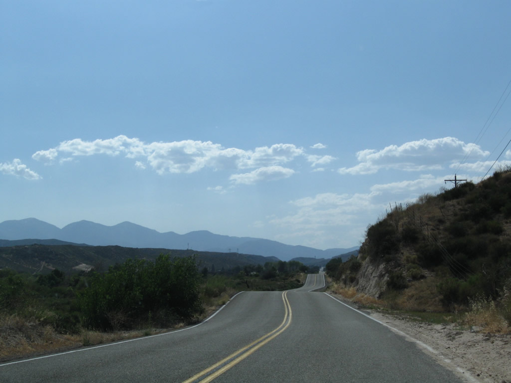
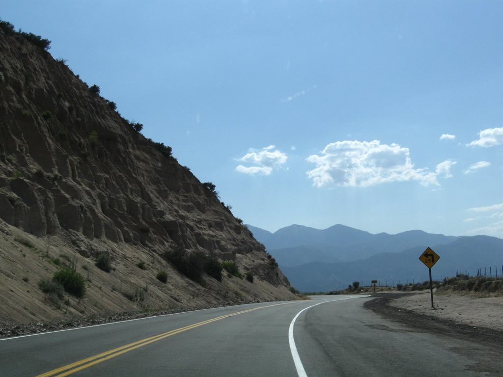
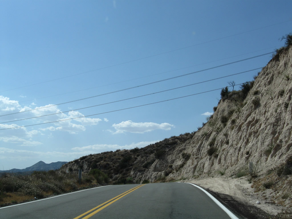
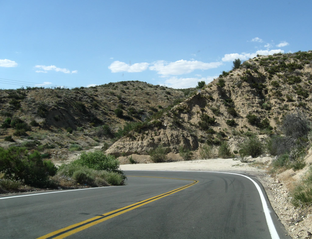
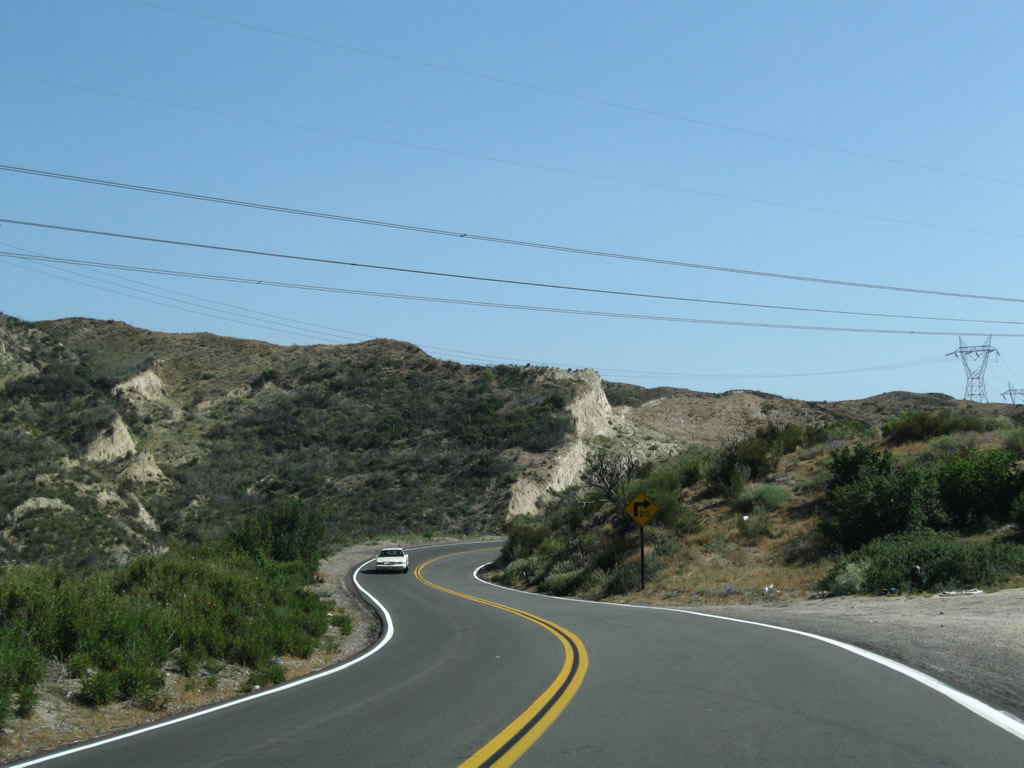
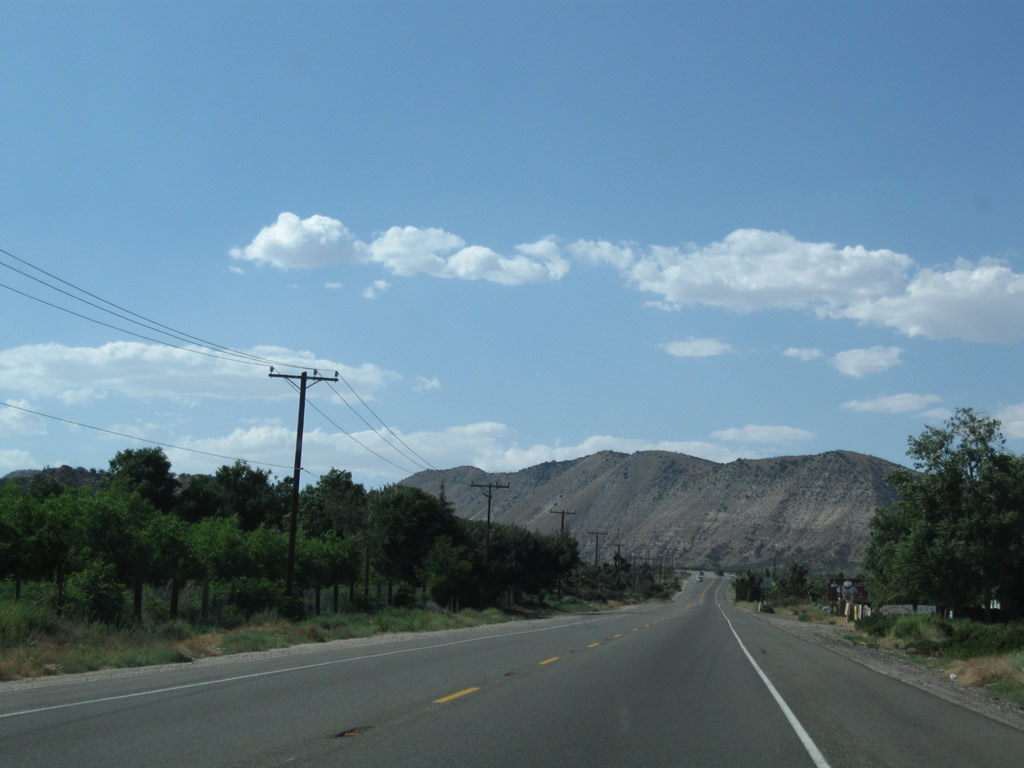
East of Interstate 15, California 138 is windier and narrower than it is west of Interstate 15.
04/18/04
California 138 remains in the desert foothills here, but it will ascend to Cajon Pass and ultimately Enchanted Forest and Crestline, where trees will replace the sagebrush.
04/18/04
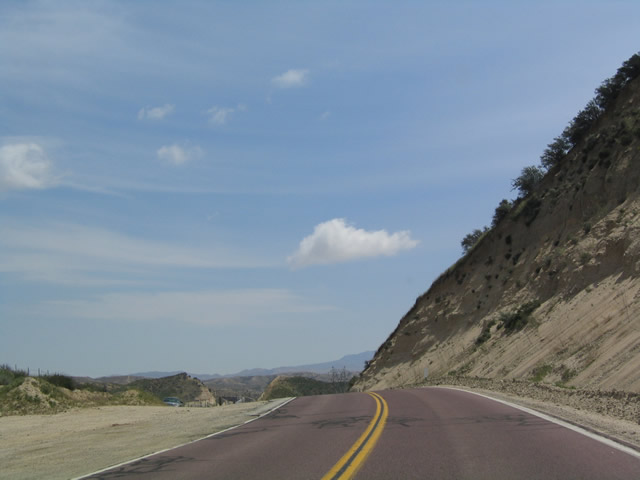
A rarity along a non-national park service roadway, California 138 has red pavement for a distance east of Interstate 15.
04/18/04
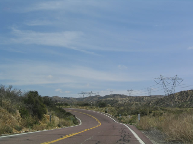
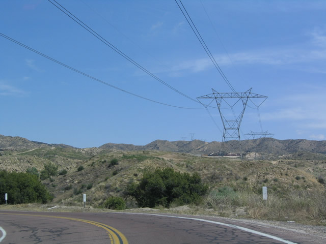
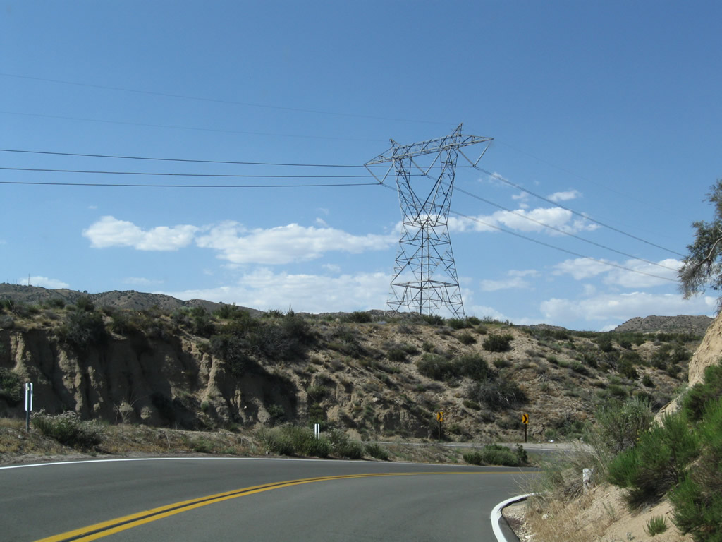
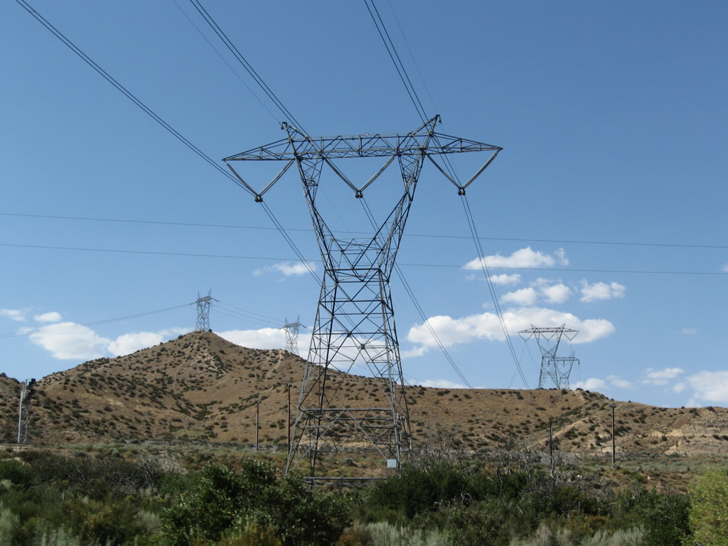
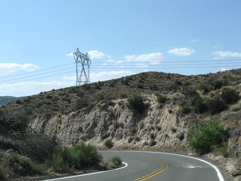
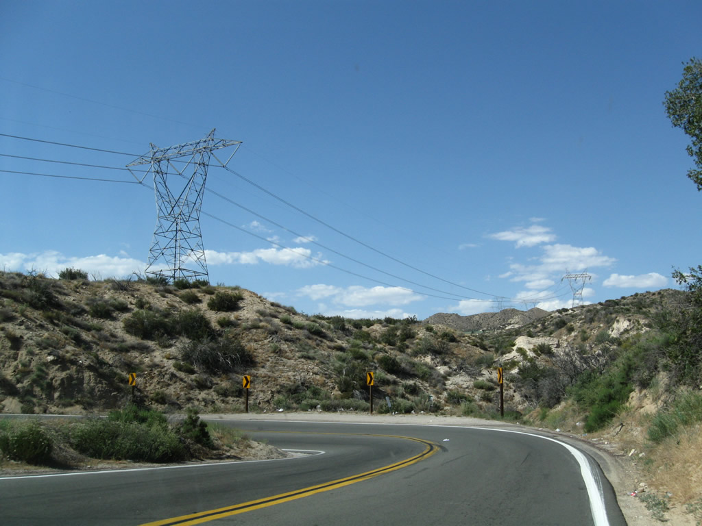
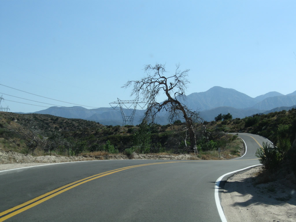
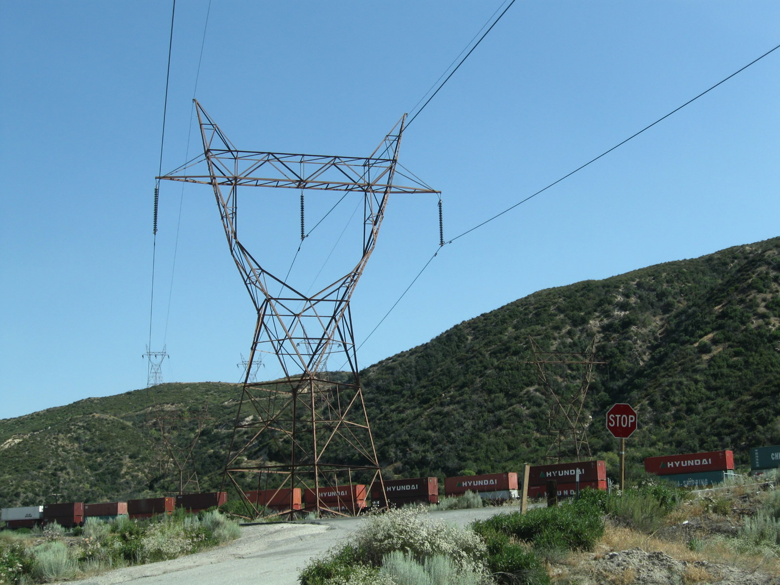
View of power lines as California 138 continues east.
04/18/04
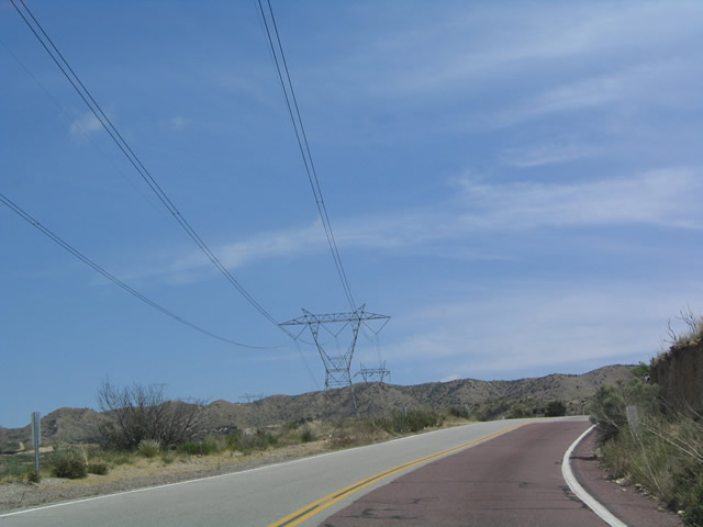
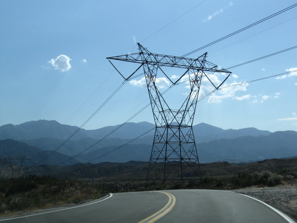
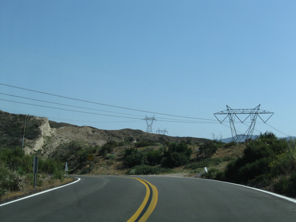
Again, California 138 passes under the power lines for a distance as it approaches Cajon Pass.
04/18/04
Cajon Pass, not to be confused with Cajon Summit, is located along California 138 east of Interstate 15. While the freeway passes over Cajon Summit, California 138 takes a winding route to reach the Cajon Pass summit.
04/18/04
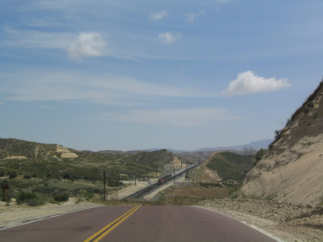
Eastbound California 138 view after cresting Cajon Pass. This view encompasses the railroad, which snakes its way up Cajon Pass to this point, then flattens out en route to Barstow.
04/18/04
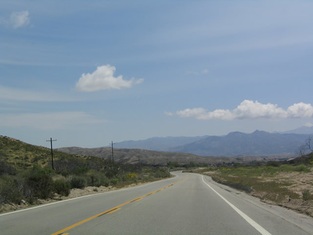
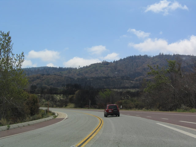
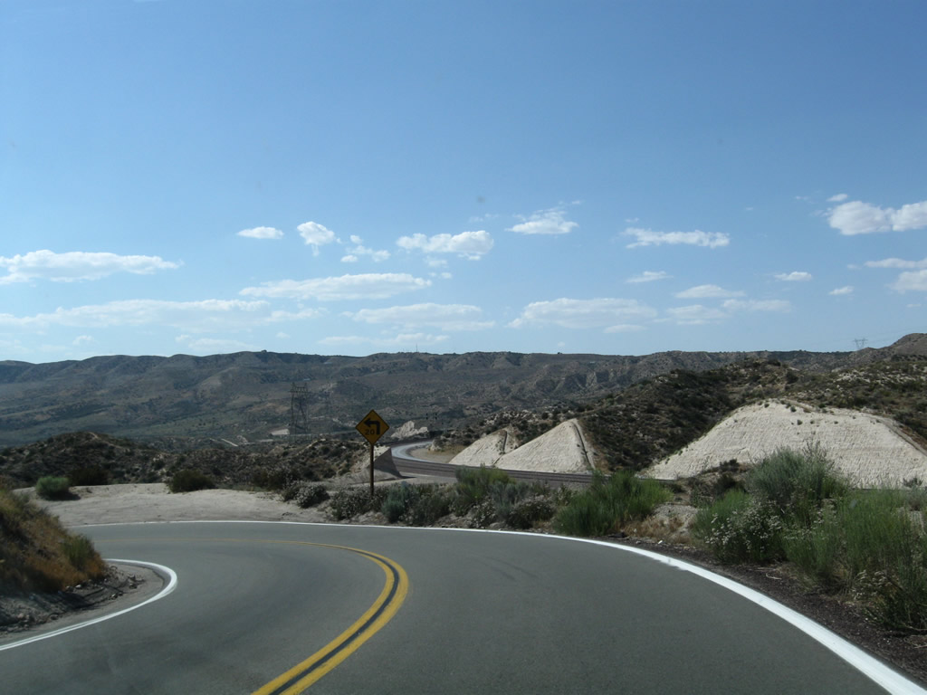
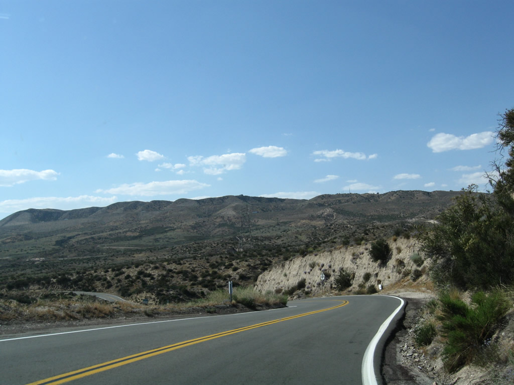
Sweeping view of the high country along California 138 after Summit Valley Road.
04/18/04
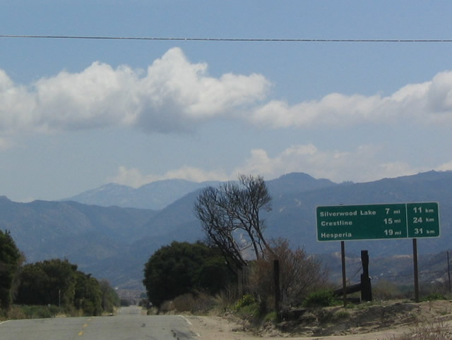
This unusual mileage sign along eastbound is a new reflective sign that surprisingly still includes the English and metric distances to Silverwood Lake, Crestline, and Hesperia. It is likely that this sign was replaced as a result of the Old Fire.
04/18/04
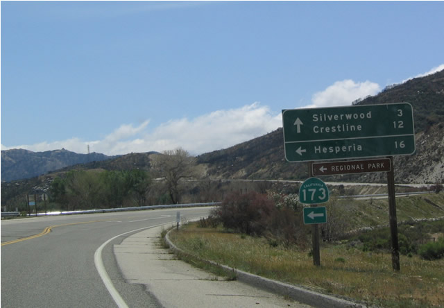
Eastbound California 138 approaching California 173 east to Mojave River Forks Regional Park and Hesperia. There is a dirt road that connects this section of California 173 with the section of California 173 near Lake Arrowhead, but it is signed as closed and is generally not a recommended through route.
04/18/04
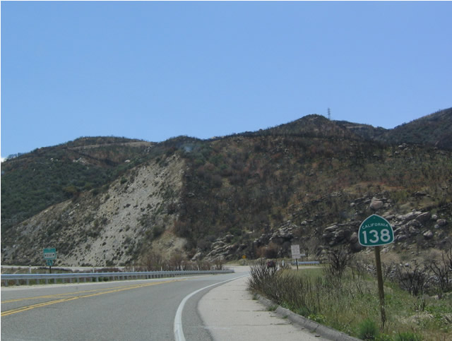
This East California 138 shield is located immediately after the California 173 intersection. Note the fire damage on the hillside behind the sign.
04/18/04
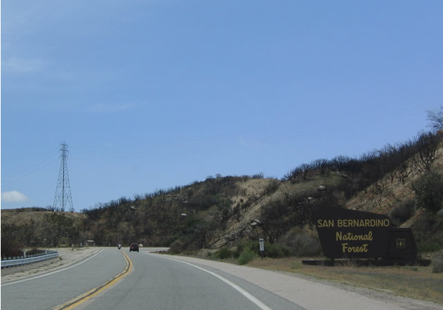
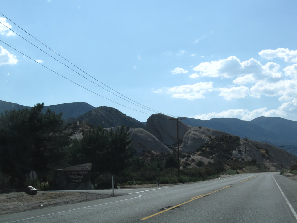
Immediately after the California 173 intersection, California 138 east enters San Bernardino National Forest.
04/18/04
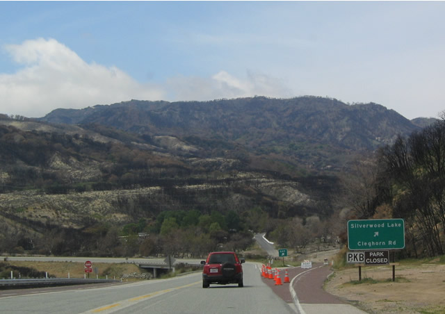
At the time this photo was taken, Silverwood Lake State Recreation Area and Cleghorn Road were closed due to fire damage. Note that California 138 remains a "Super Two" as it passes through the interchange with Cleghorn Road.
04/18/04
California 138 remains two lanes after passing through the Cleghorn Road interchange.
04/18/04
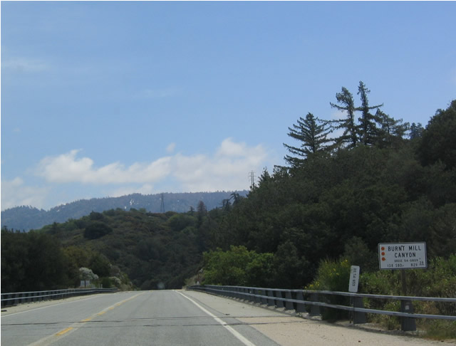
As California 138 passes to the south of the Silverwood Lake State Recreation Area, it maintains a fairly straight route primarily due to the bridges such as the Burnt Mill Canyon Bridge which is photographed here.
04/18/04
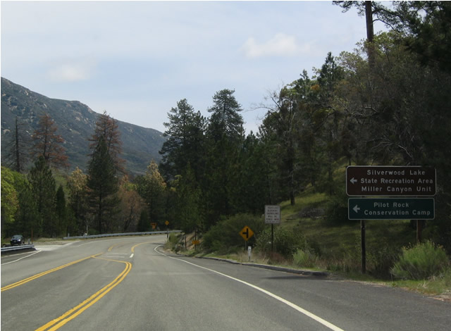
Eastbound California 138 at Miller Canyon Road west to Silverwood Lake. Miller Canyon Road is the old alignment of California 138. Due to destruction related to the Old Fire of October 2003, this road was closed.
04/18/04
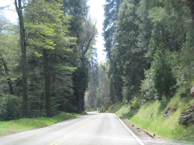
View of the Enchanted Forest along eastbound. This area was largely spared from the Old Fire of October 2003.
04/18/04
View of California 138 as it ascends a grade along the windy highway in the Enchanted Forest.
04/18/04
Now emerging from the Enchanted Forest, California 138 passes through the Valley of Enchantment.
04/18/04
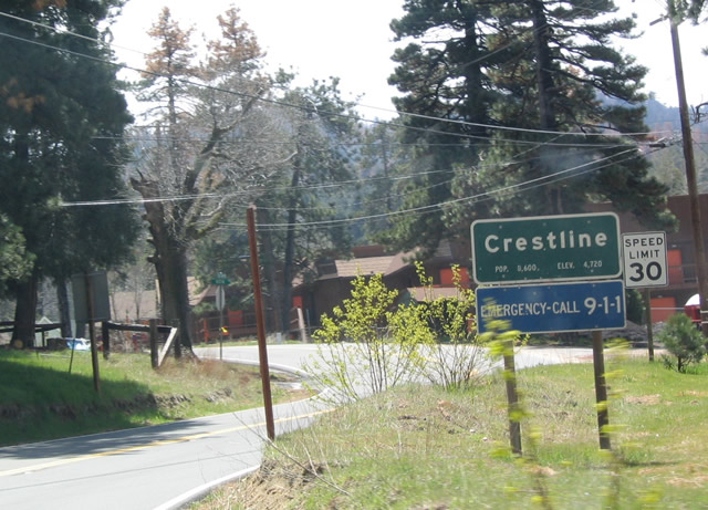
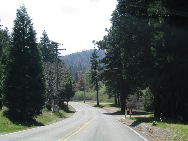
Eastbound California 138 enters Crestline, with a population of 8,600 people.
04/18/04
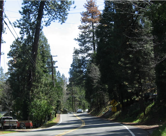
The immediate area around Crestline was spared from the Old Fire of October 2003. However, many dead and dying trees remain visible among the green, lush trees of the forest as California 138 passes through the outskirts of Crestline.
04/18/04
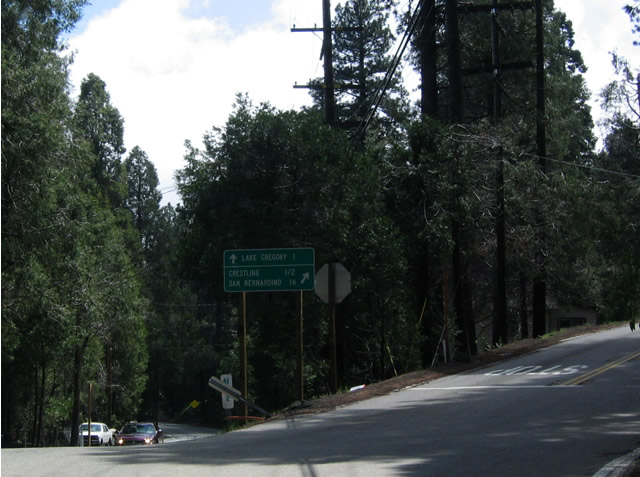
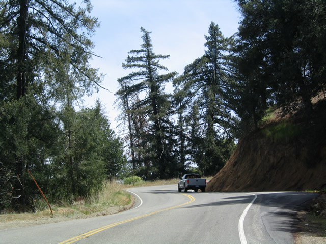
This fork in the road, along eastbound just prior to reaching downtown Crestline, splits California 138 east and Lake Gregory Drive. The left turn leads to Lake Gregory, then meets California 18 east of Twin Peaks. Continuing to the right follows California 138 to Crestline and California 18 south to San Bernardino.
04/18/04
Now in downtown Crestline, California 138 reaches an unusual three-way stop where eastbound traffic does not stop but the other directions must stop. Ahead, California 138 prepares for its end at California 18, which winds it way down the mountain to the city of San Bernardino.
04/18/04
This California 138 west reassurance shield is posted after the intersection with California 173 near Silverwood Lake.
06/27/09
Leaving the vicinity of Silverwood Lake, westbound California 138 proceeds along an open, two-lane, rural highway toward Cajon Pass and Interstate 15.
06/27/09
West of Silverwood, California 138 enters Cajon Pass. The state route navigates through numerous curves and switchbacks for the distance over the pass and descending to Interstate 15.
06/27/09
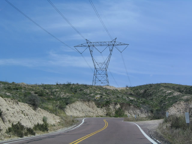
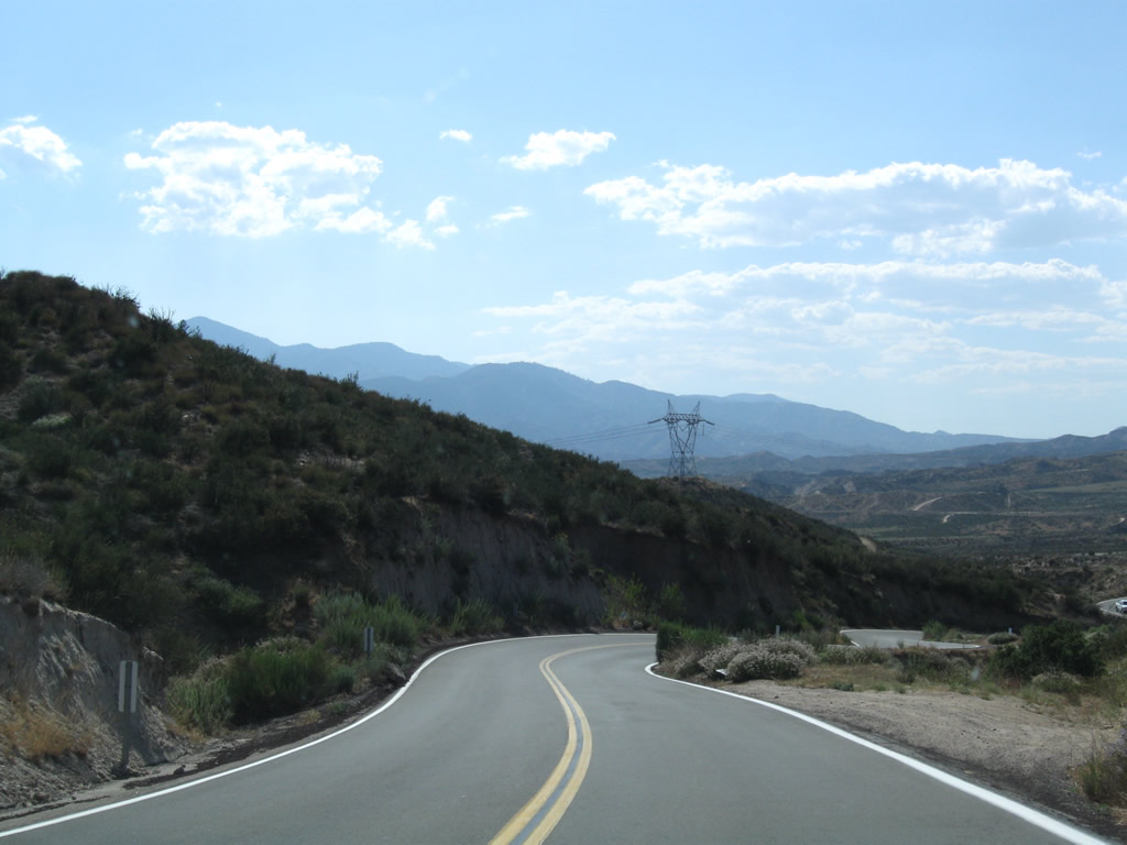
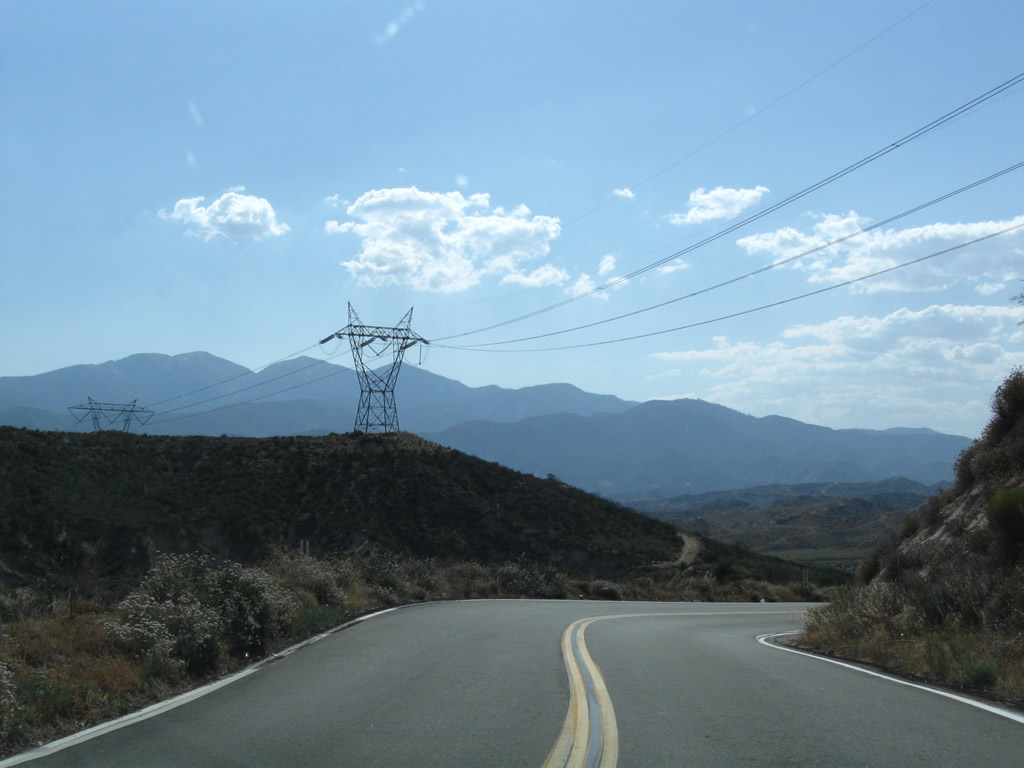
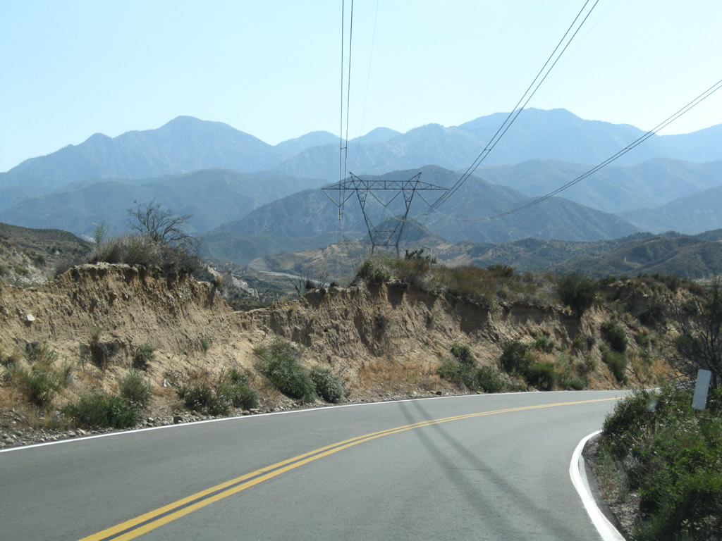
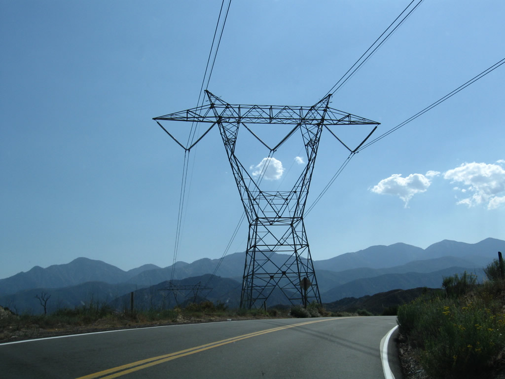
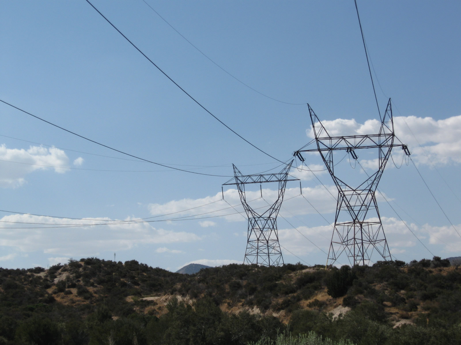
Several Southern California Edison 500kV power lines converge on Cajon Pass and cross over California 138 in this area; they lead toward the Lugo substation northeast of here. Additionally, several railroad tracks use the Cajon Pass to ascend from San Bernardino to the High Desert.
06/27/09
Descending from the Cajon Pass, the Interstate 15 freeway corridor and railroads come into view as westbound California 138 quickly loses elevation.
06/27/09
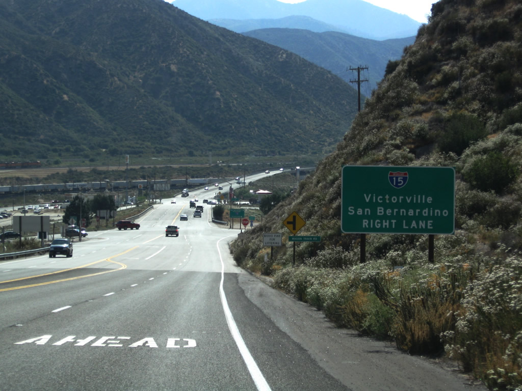
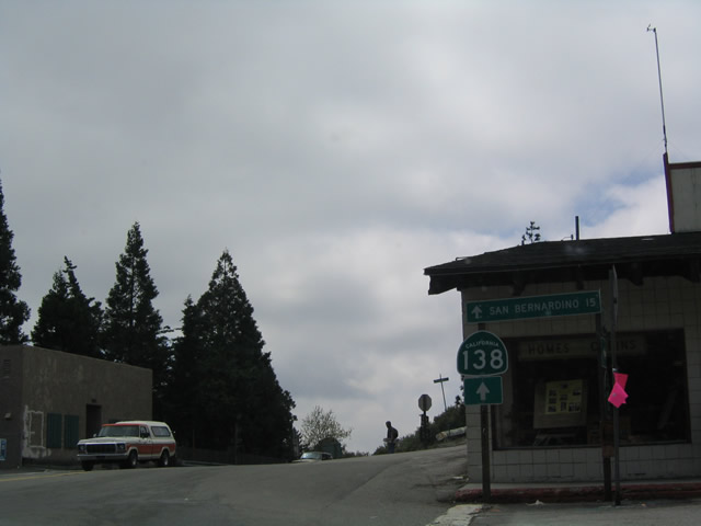
Westbound California 138 approaches Interstate 15, which travels north to Victorville, Barstow, and Las Vegas or south to San Bernardino, Riverside, and San Diego.
06/27/09
Stay right for the connections to Interstate 15. The first right connects to Interstate 15 north to Victorville. For U.S. 395 north to Bishop and Historic U.S. 66 east to Barstow, follow Interstate 15 north. The second right connects to Interstate 15 south to Ontario and Corona. For Interstate 215 south to San Bernardino and Riverside, follow Interstate 15 south.
06/27/09
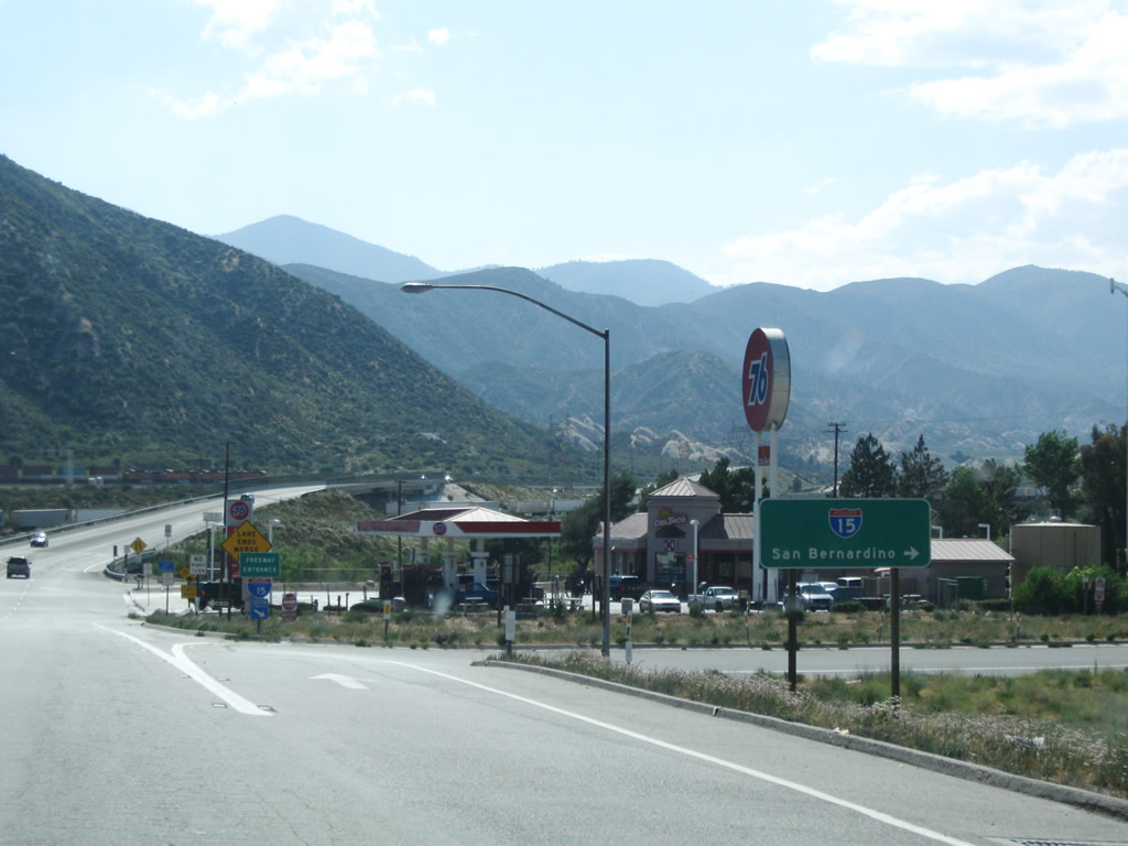
Westbound California 138 meets the on-ramp to Interstate 15 south to Ontario and Corona.
06/27/09
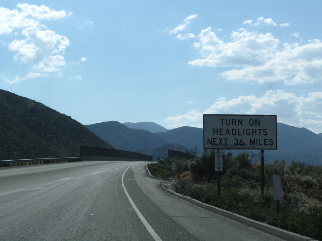
Leaving the Interstate 15 interchange, California 138 again travels uphill as it crosses over the Burlington Northern Santa Fe (BNSF) Railroad and approaches Mormon Rocks. For the next 36 miles of mostly two-lane, rural, state highway, motorists on California 138 must use headlights day and night.
06/27/09
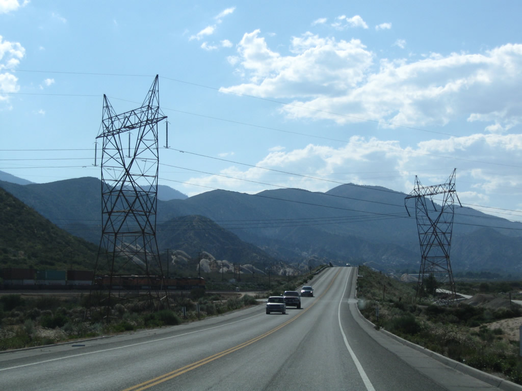
A pair of Los Angeles Department of Water and Power lines cross over California 138. These lines travel southwest toward Los Angeles and north toward a substation near Victorville.
06/27/09
Westbound California 138 passes under another branch of the BNSF Railroad.
06/27/09
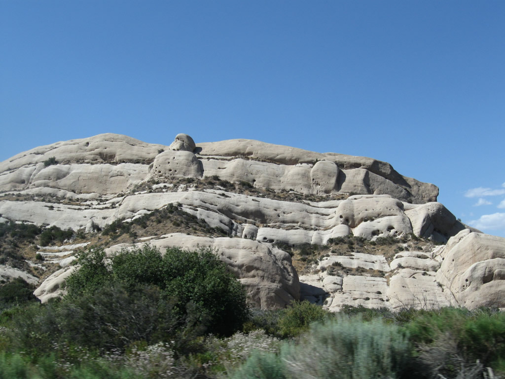
A prominent rock outcropping within the Cajon Pass/Cajon Summit area is Mormon Rocks, which are distinctive for their bald granite appearance and unique look amid the sagebrush-covered slopes. California 138 passes alongside the Mormon Rocks, then veers northwest toward Phelan.
06/27/09
Look for a left turn from California 138 west to Mormon Rocks Station.
06/27/09
California 138 continues uphill toward an eventual rendezvous with California 2 near Wrightwood.
06/27/09
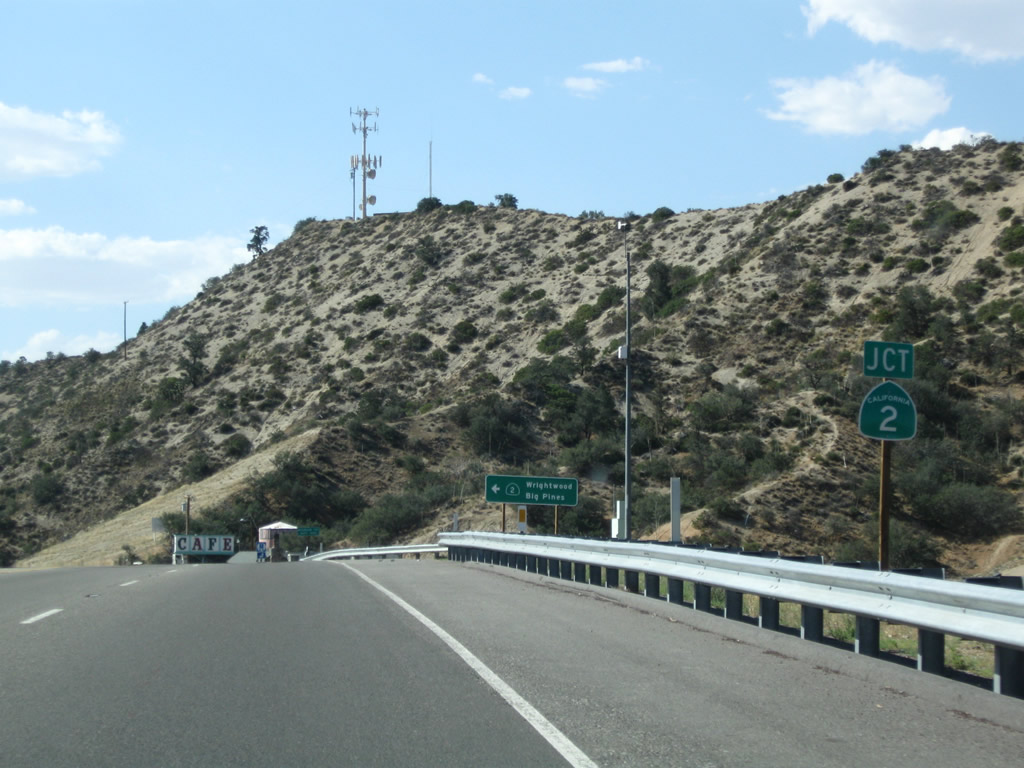
Nearing the top of the grade, westbound California 138 approaches California 2 west to Wrightwood.
06/27/09
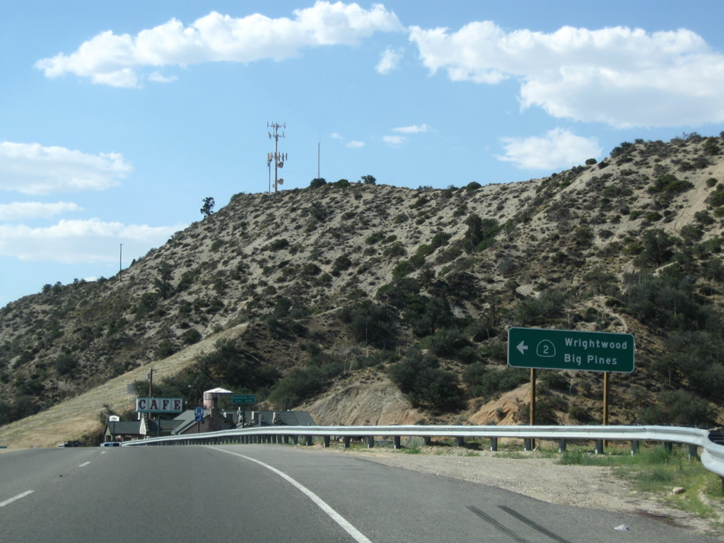
California 2 travels west into Wrightwood, becoming the Angeles Crest Highway as it follows the crest of the San Gabriel Mountains. This scenic higjwau os a popular weekend driving destination and links many national forest recreational areas. California 2 eventually turns southwest to enter the Los Angeles Metropolitan Area at La Canada-Flintridge. From there, California 2 becomes the Glendale Freeway and proceeds into the city of Los Angeles.
06/27/09
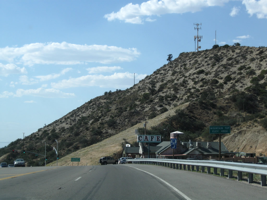
The top of the grade is known appropriately enough as Mountain Top, elevation 4,804 feet.
06/27/09
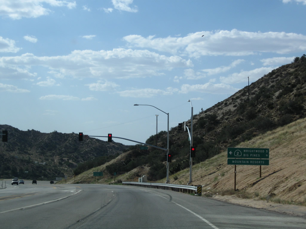
Westbound California 138 meets California 2 west at this traffic signal in Mountain Top. Turn left at the traffic signal to follow California 2 to the Angeles Crest Highway. Continue ahead on California 138 northwest toward Phelan and the Antelope Valley (Palmdale and Lancaster).
06/27/09
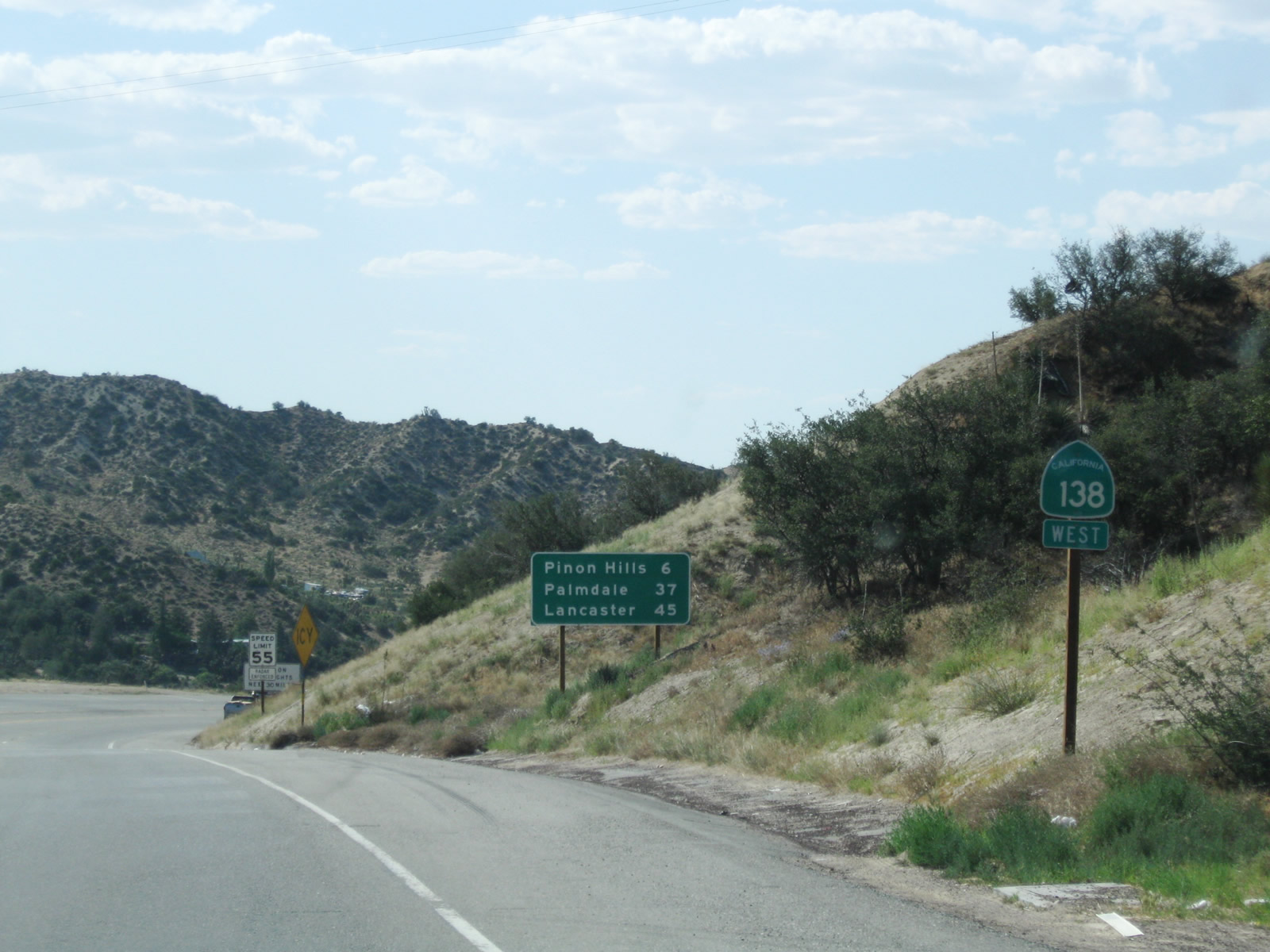
A California 138 west reassurance shield is posted shortly after the California 2 intersection. A mileage sign provides the distance to Pinon Hills (six miles), Palmdale (37 miles), and Lancaster (45 miles).
06/27/09
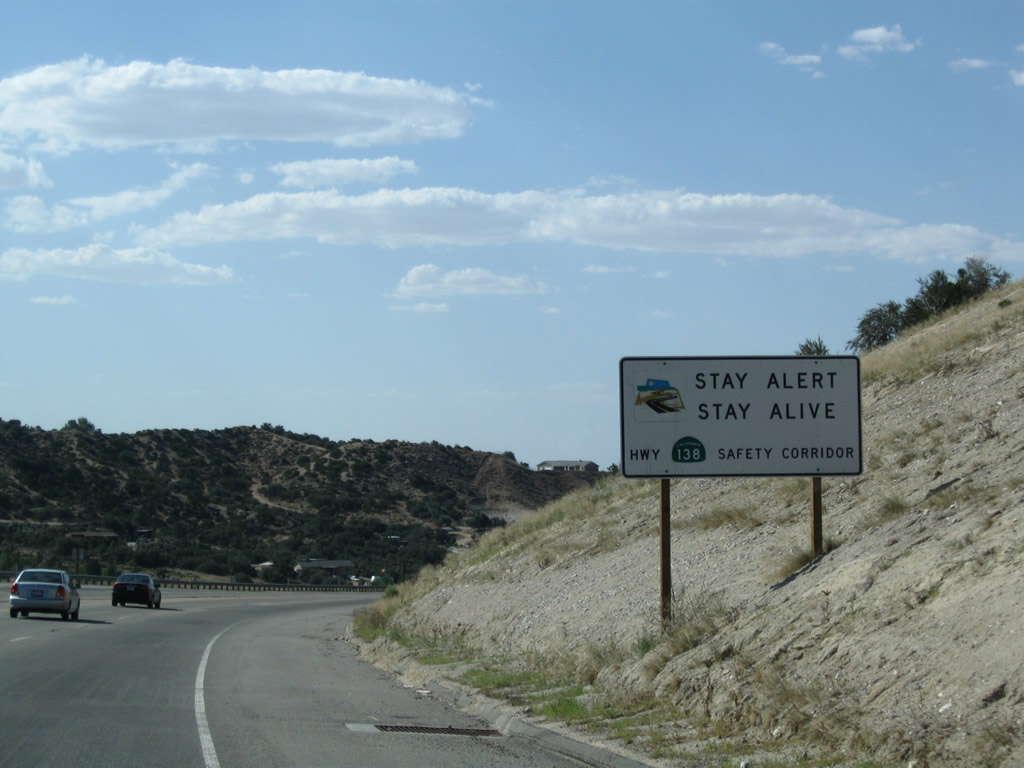
California 138 is a designated safety corridor due to the high traffic volumes/accident rates for a two-lane, rural state route.
06/27/09
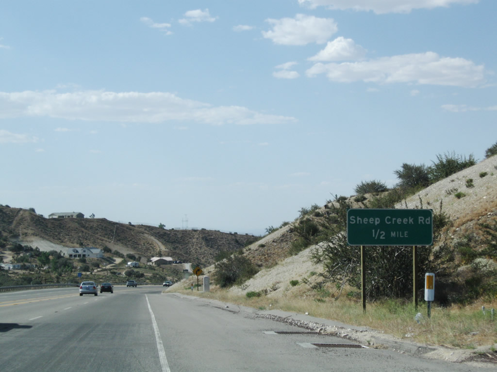
Although not a freeway, westbound California 138 has an off-ramp to Sheep Creek Road in Phelan. This one-half mile advance guide sign is posted northwest of the California 2 intersection.
06/27/09
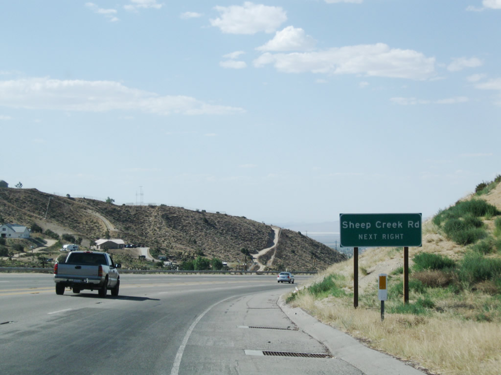
A second advance guide sign is posted along westbound California 138 for Sheep Creek Road in Phelan.
06/27/09
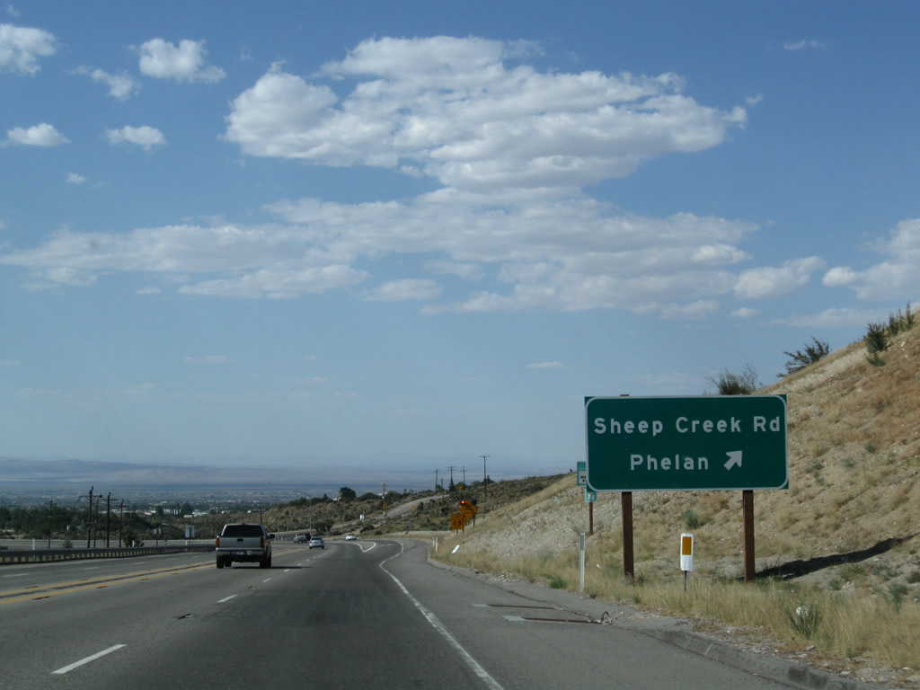
Westbound California 138 meets Sheep Creek Road in Phelan. Use Sheep Creek Road north to the central business district of Phelan, which is located at the intersection of Sheep Creek Road and Phelan Road. Phelan, an unincorporated community in western San Bernardino County, had a population of 14,304 as of the 2010 Census and sits at an elevation of 3,993 feet.
06/27/09
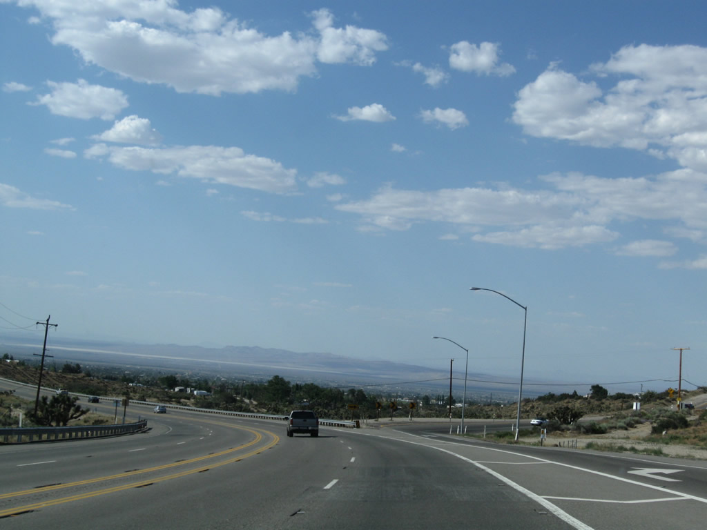
California 138 maintains four lanes near the off-ramp for Sheep Creek Road. The state route curves west at this point.
06/27/09
Shafts of late-day sunshine dominate the view along California 138 west. Along this section of road is a signalized intersection with Beekley Road, which travels north into Phelan.
06/27/09
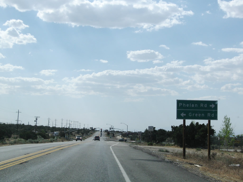
Westbound California 138 approaches Phelan Road east and Green Road west.
06/27/09
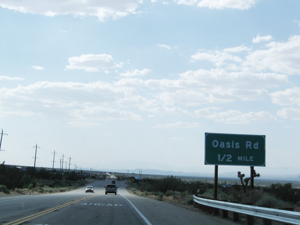
A bit further west, California 138 approaches Oasis Road (one-half mile) at a signalized intersection.
06/27/09
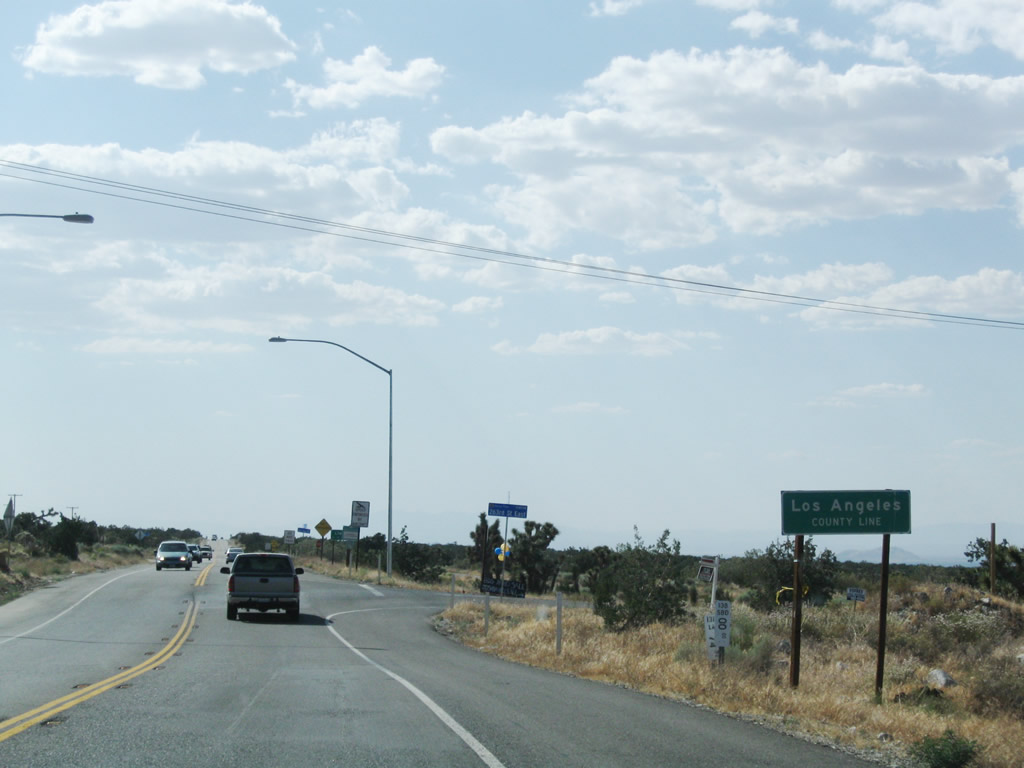
Near 263rd Street, California 138 leaves San Bernardino County and enters Los Angeles County and the unincorporated community of Llano. A change in postmiles advises that appropximately 74 of the total 105 extant miles of California 138 lie ahead in Los Angeles County. This mileage figure does not include the overlap with California 14 in Palmdale and Lancaster.
06/27/09
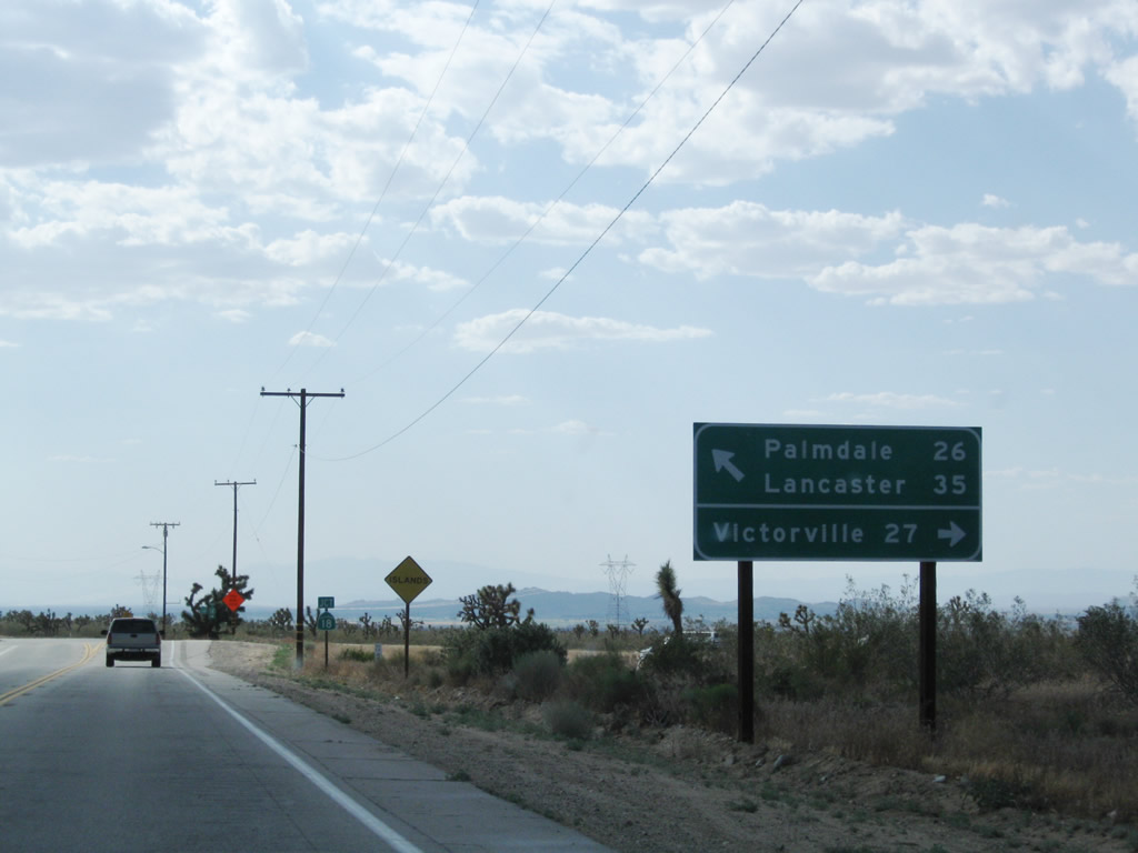
Continuing northwest, California 138 approaches California 18. Turn right for California 18 east to Victorville (27 miles) or proceed ahead along California 138 west to Palmdale and Lancaster.
06/27/09
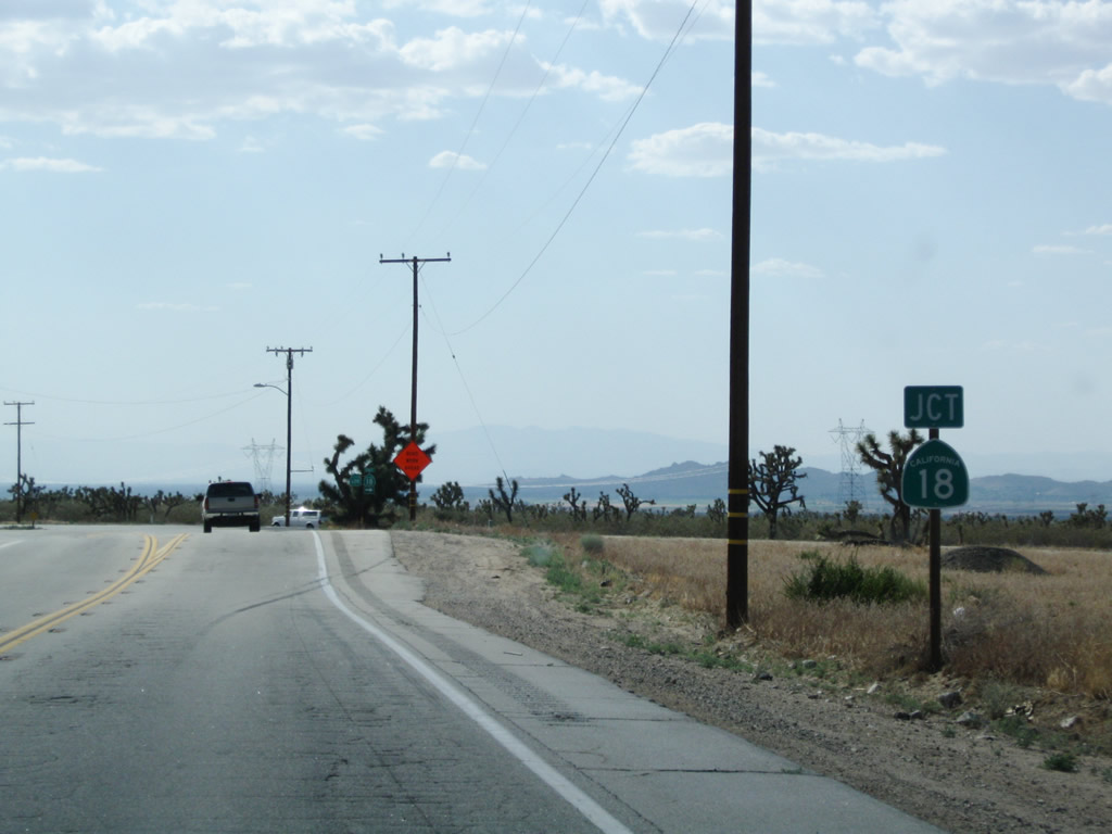
A California 18 route marker assembly is posted along California 138 west.
06/27/09
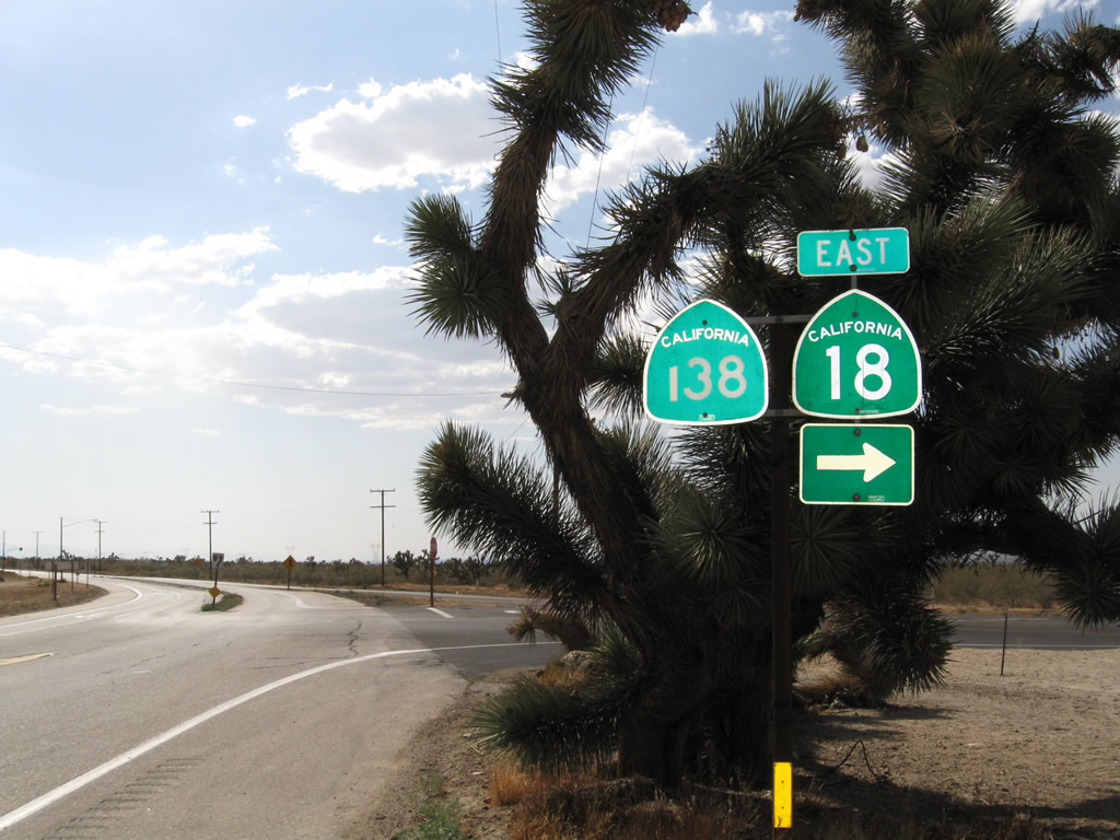
Westbound California 138 meets California 18 (Pearblossom Highway). Turn right to follow California 18 (Pearblossom Highway) west to Victorville and Lucerne Valley, or continue ahead on California 138/Pearblossom Highway west to Pearblossom, Littlerock, and Lancaster. This intersection marks the western terminus of California 18.
06/27/09
Photo Credits:
- Andy Field: 04/18/04, 06/27/09
Connect with:
Page Updated Tuesday January 08, 2013.