
State Route 4 East - Brentwood to Stockton
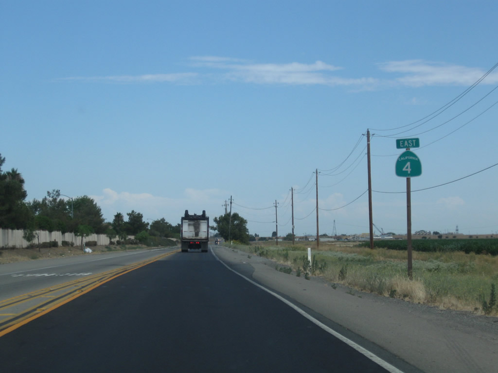
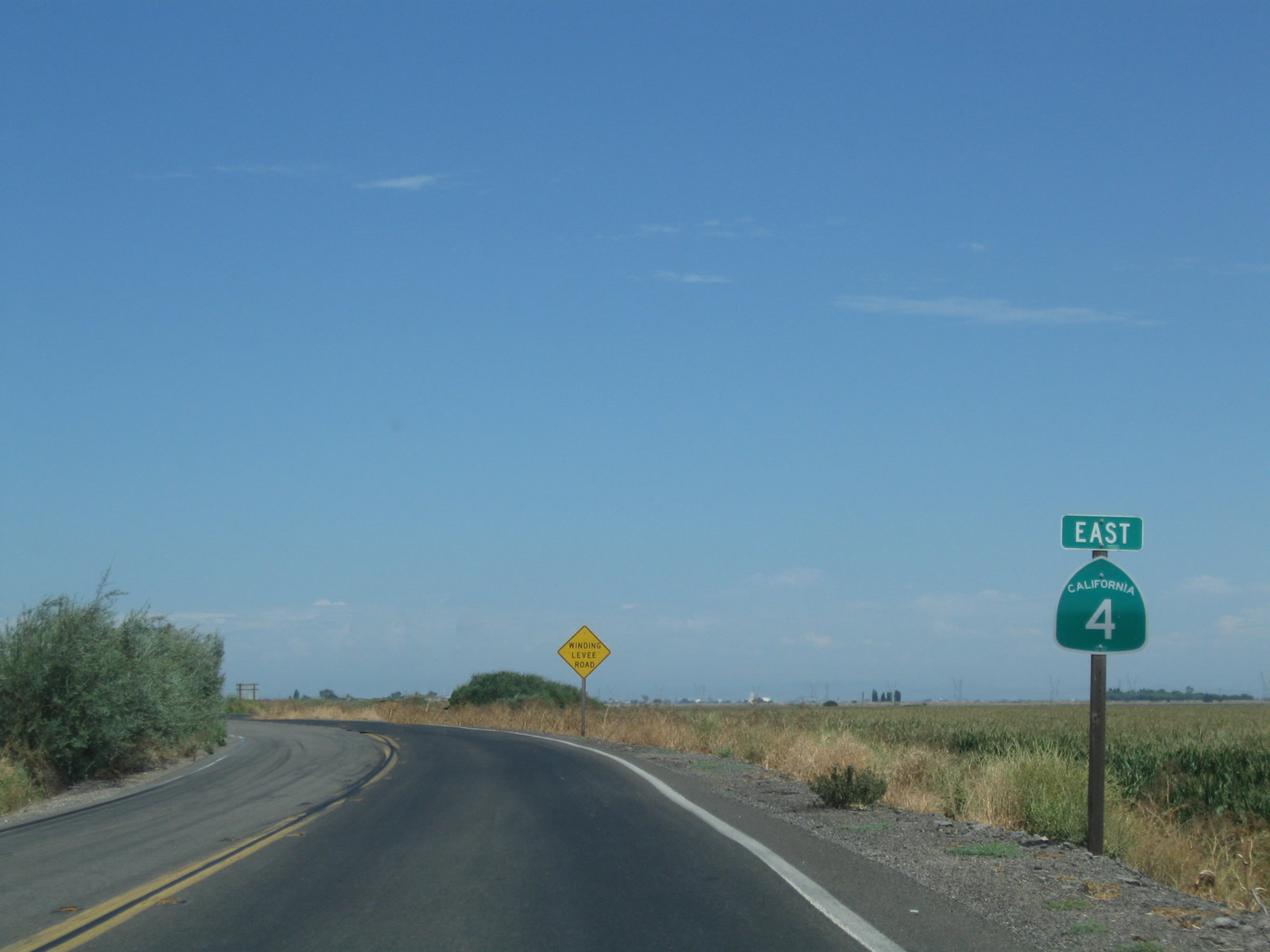
 East
East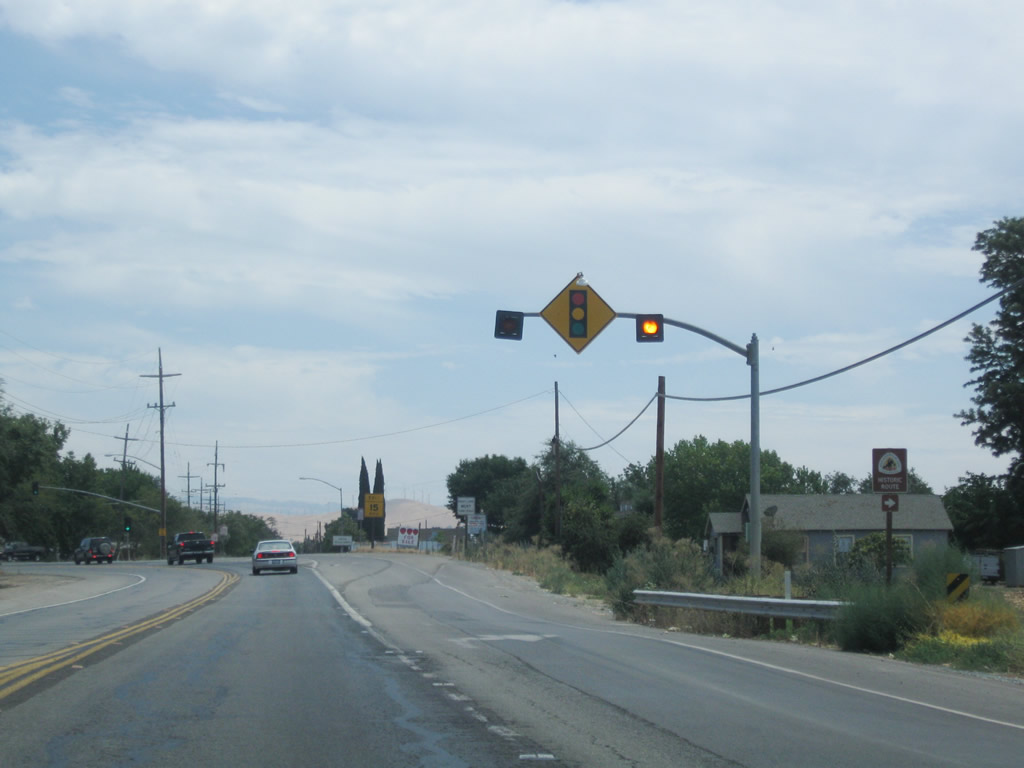
SR 4 turns south 0.4 miles from Marsh Creek Road onto Byron Highway. This stretch was expanded to four lanes by 2014.
07/18/09
Contra Costa County Route J-4 extends Byron Highway southeast to Byron and Tracy, where the county route shifts onto Grant Line Road ahead of Interstate 205. SR 4 turns east again and briefly reduces to two lanes en route to Discovery Bay.
07/18/09
SR 4 proceeds east north of Byron and south along the Discovery Bay community.
07/18/09
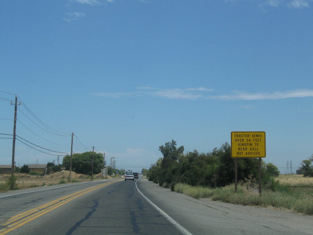
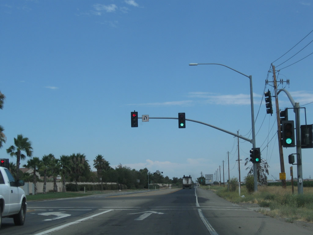
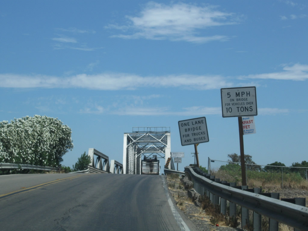
A sign warns of recommended truck restrictions due to the forthcoming narrow bridge across the Old River.
07/18/09
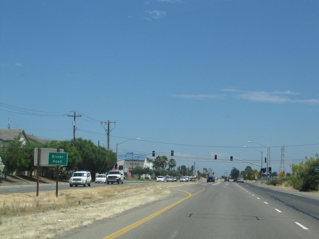
SR 4 expands to four lanes by the Country Meadows subdivision east to the signal with Bixler Road.
07/18/09
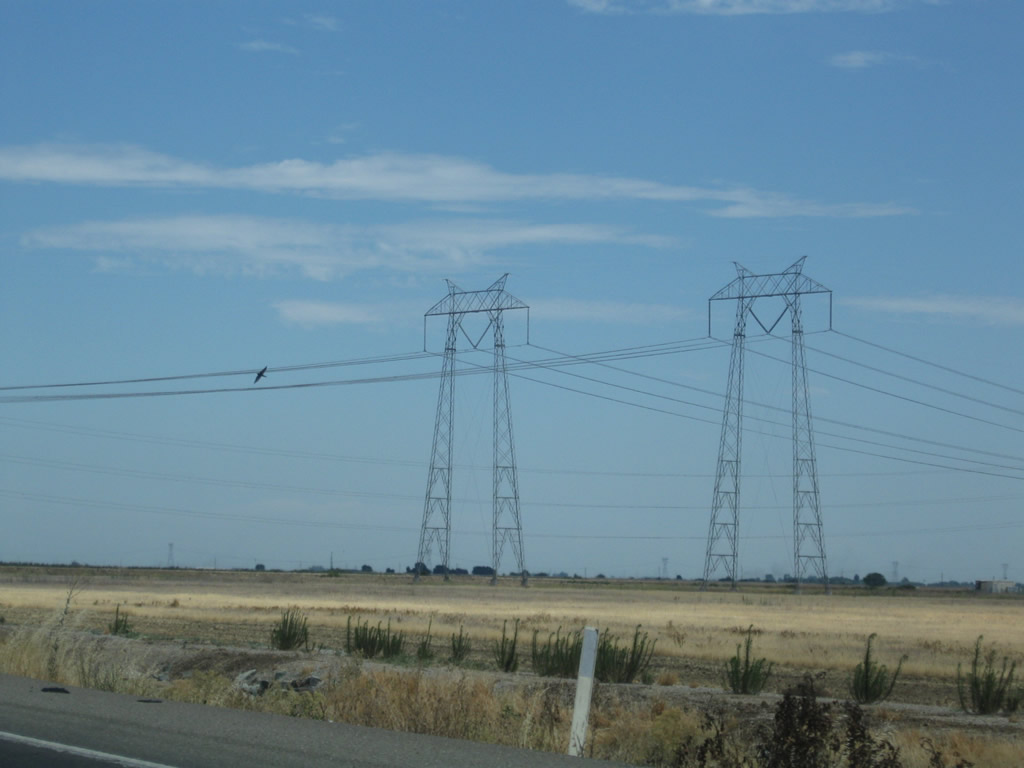
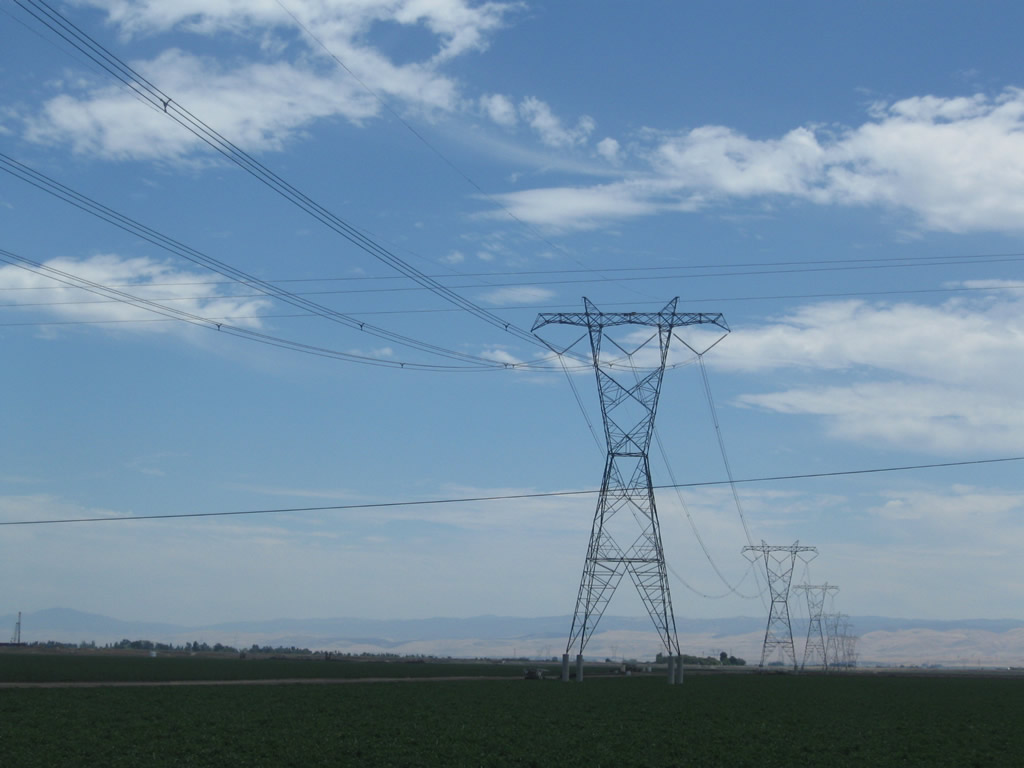
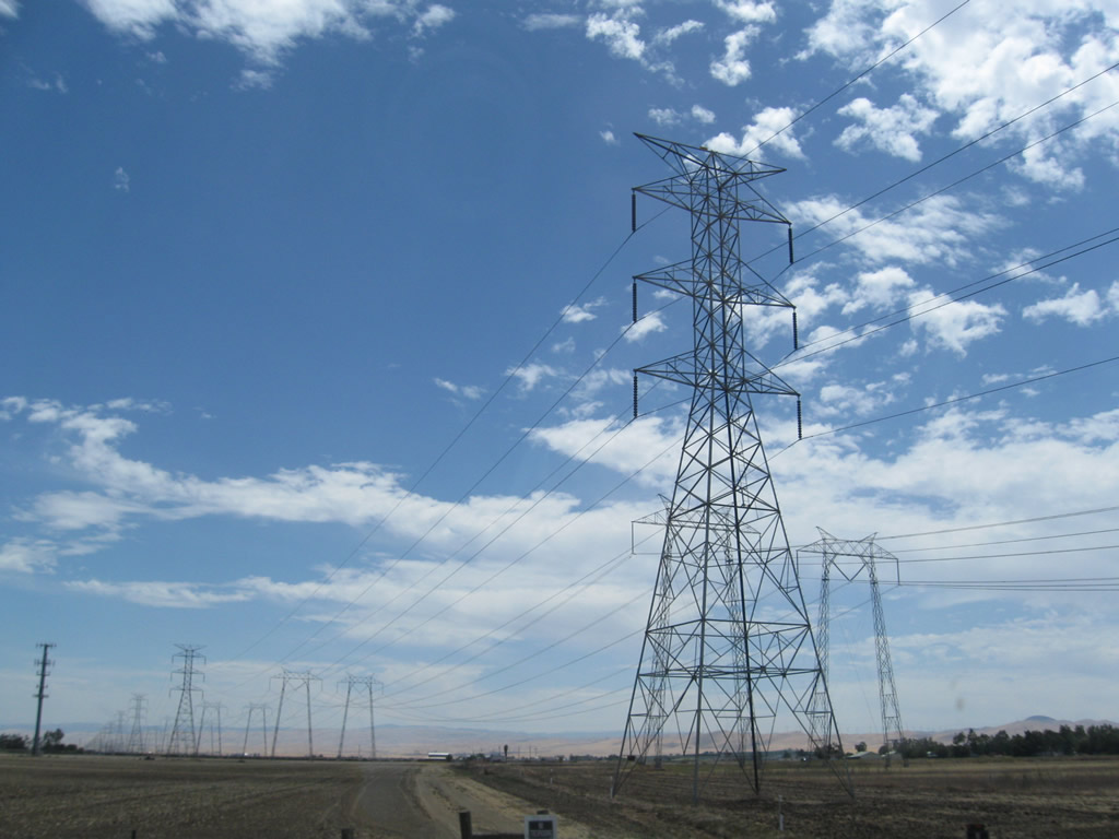
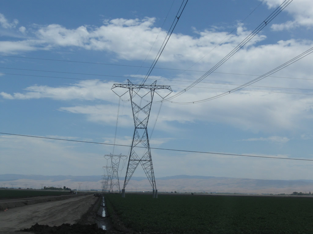
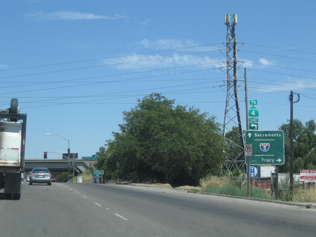
SR 4 passes under Path 15 power transmission lines eastbound at Kellogg Creek. These lines carry substantial amounts of electricity north and south through California. Path 15 interconnects to the vast Southwestern electricity grid at Buttonwillow's Midway Substation (off SR 58). The lines lead north to connect with Oregon and Washington's hydroelectric power generating systems in the Pacific Northwest.
07/18/09
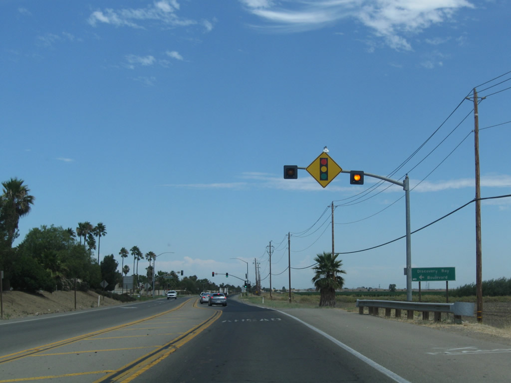
Discovery Bay Boulevard stems north from a signalized intersection with SR 4 to the unincorporated community of Discovery Bay ("Live Where You Play"). Home to over 13,000, Discovery Bay is perhaps best known for its network of canals that provide water access to the various homes within the master planned development.
07/18/09
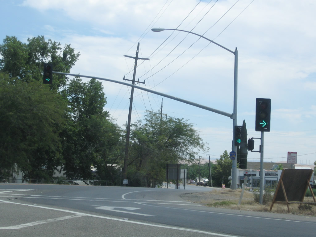
SR 4 runs along the south side of Discovery Bay Country Club beyond the signal with Discovery Bay Boulevard.
07/18/09

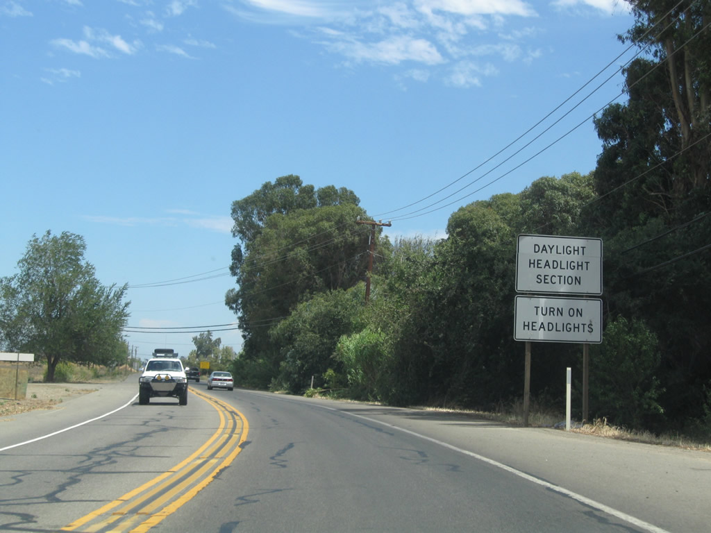
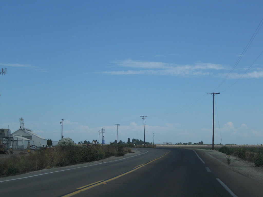
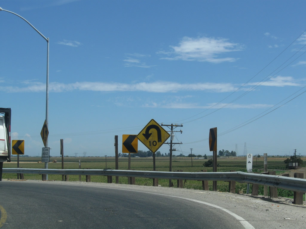
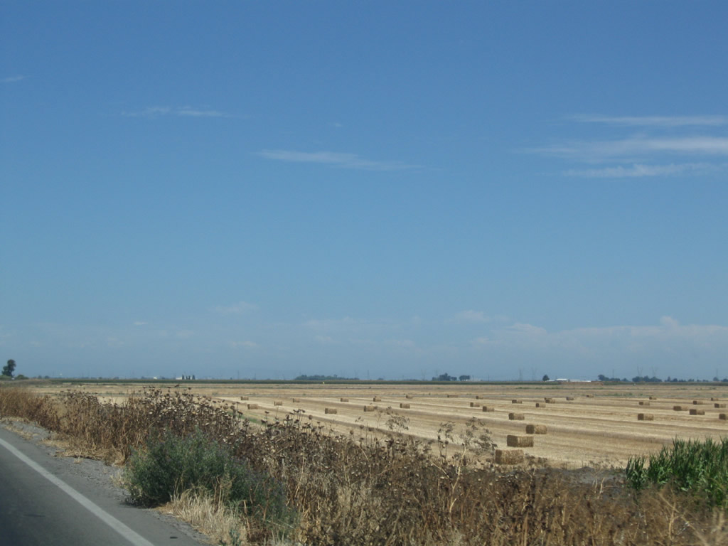
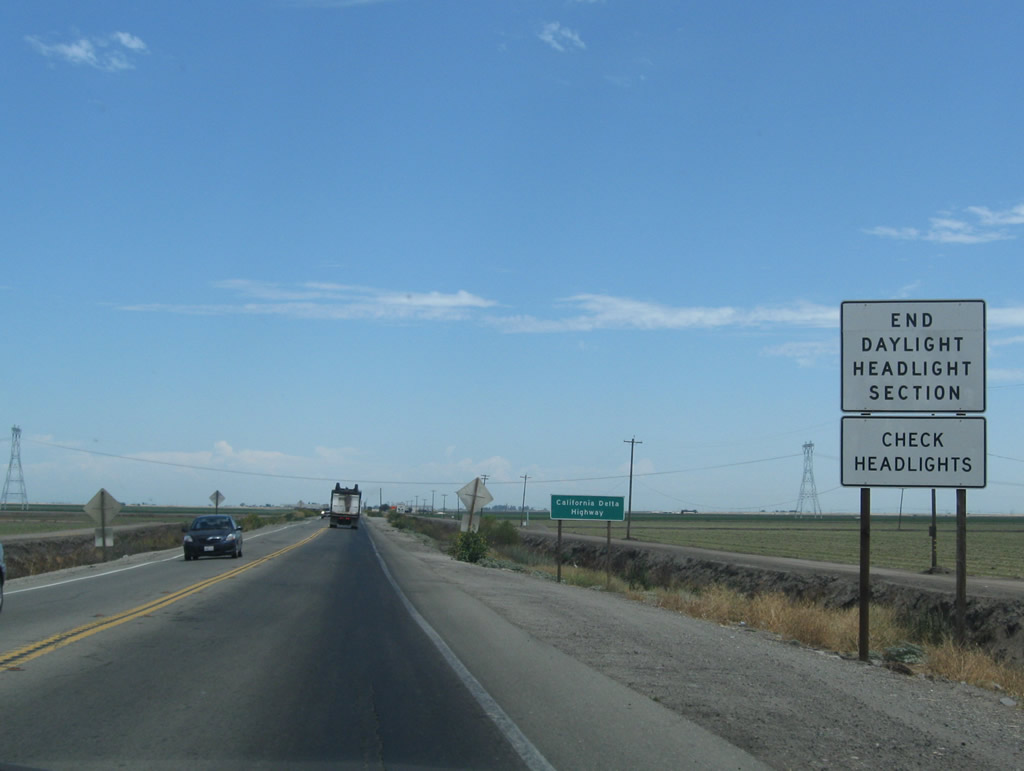
Leaving Discovery Bay, SR 4 travels east across fertile Delta farmland. The route shifts northward alongside the Old River levee system.
07/18/09
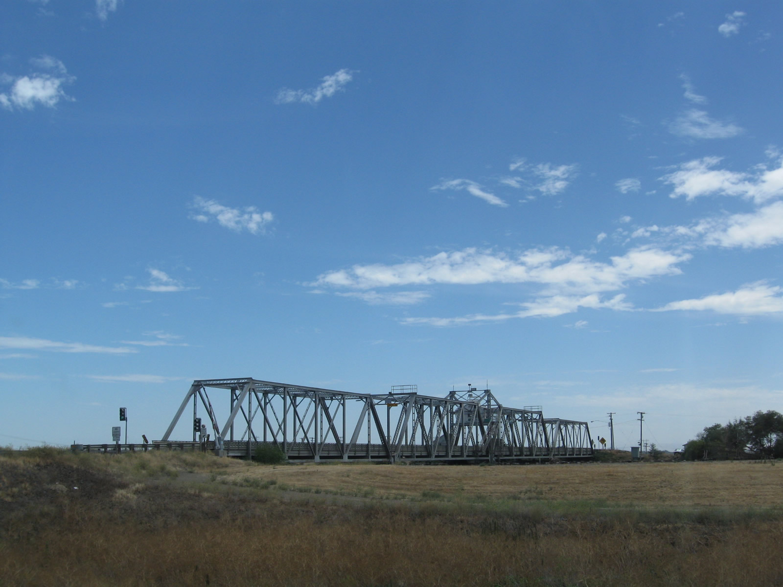
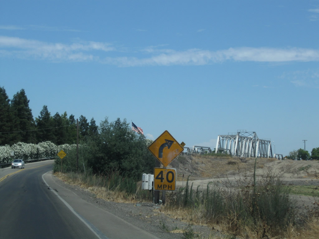
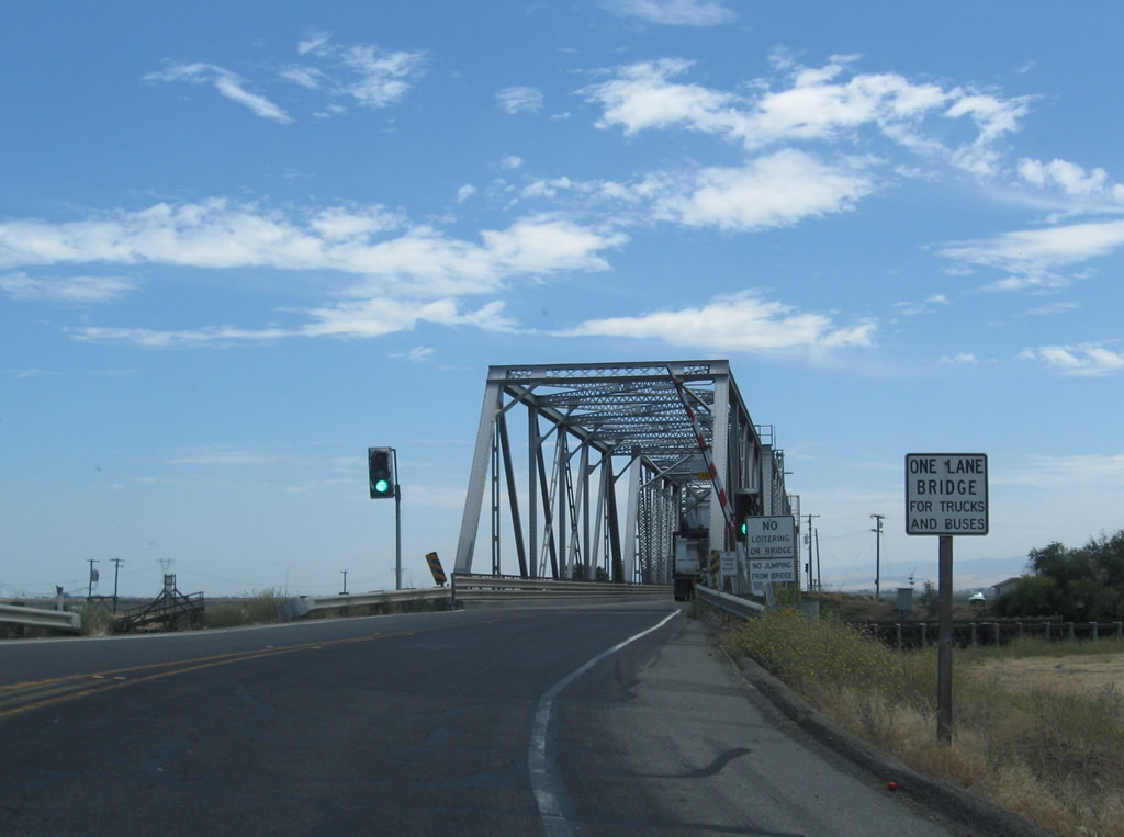
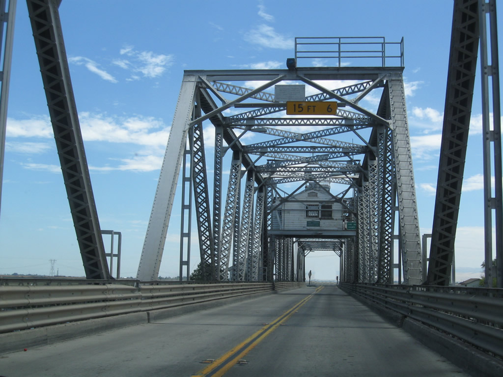
SR 4 makes a sharp southward turn onto the Old River Bridge, a narrow swing bridge with just a 19.4 foot wide deck.1
07/18/09
The Old River Bridge was built in 1915 and rehabilitated in 1978. Midway across the 528-foot long span is the San Joaquin County line.1
07/18/09
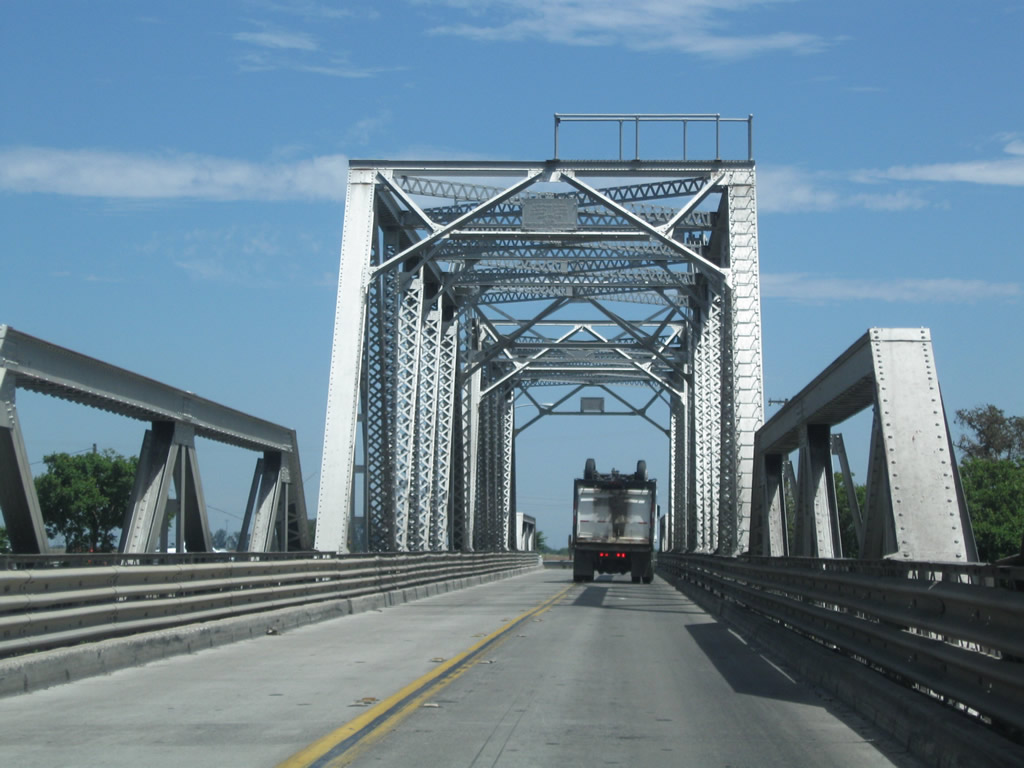
Continuing east from the Old River Bridge, SR 4 plies across the fertile Delta farmland on Victoria Island.
07/18/09
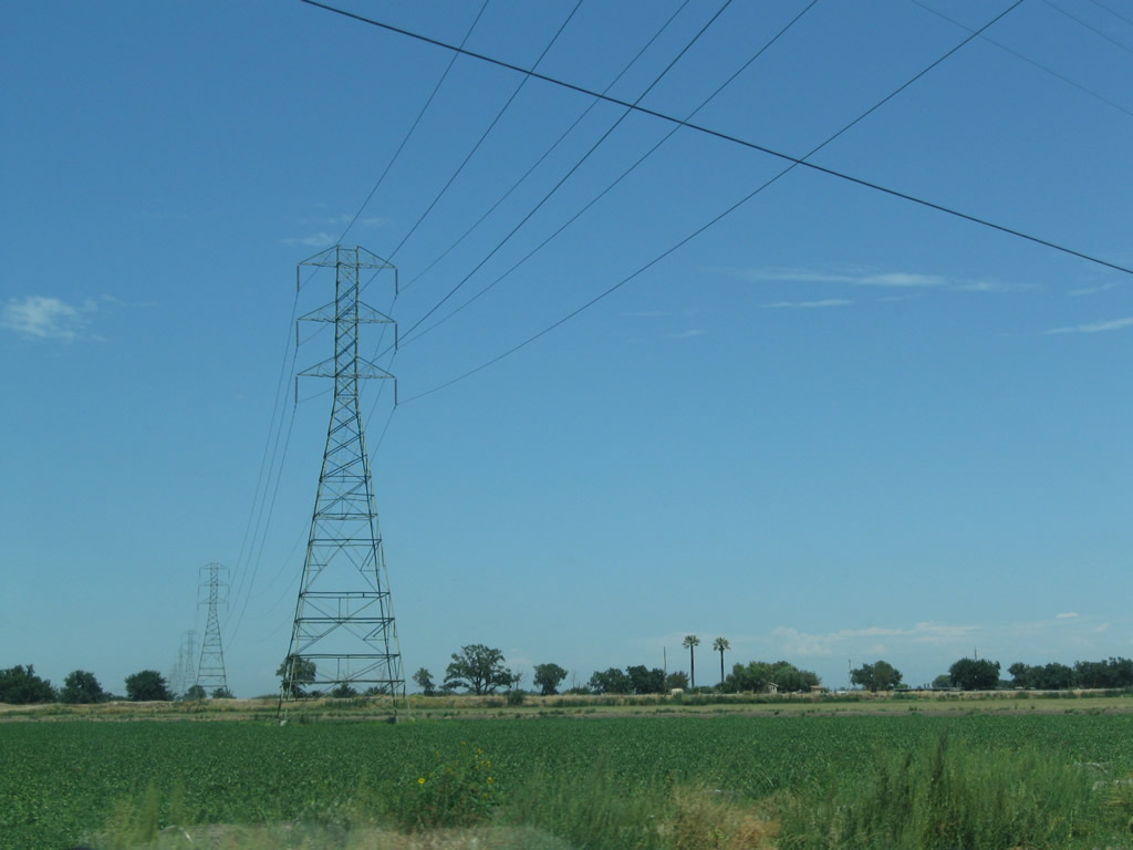
Another 500kV high-voltage power line crosses over SR 4; this line constitutes part of Path 66, which travels from a huge substation south of here where it interconnects with Path 15 north toward Oregon. Path 66 offers redundancy for Path 15. The tower structure here more resembles a Y-shaped design similar to those seen in Southern California, but Path 66 shifts to a two-level structure north of the Sacramento River crossing.
07/18/09
SR 4 (California Delta Highway) follows an elevated berm across Victoria Island. This is designed to keep the roadway above flood levels, since the majority of the island lies at or just above sea level.
07/18/09
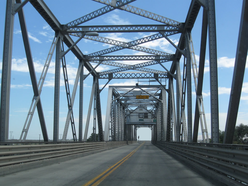
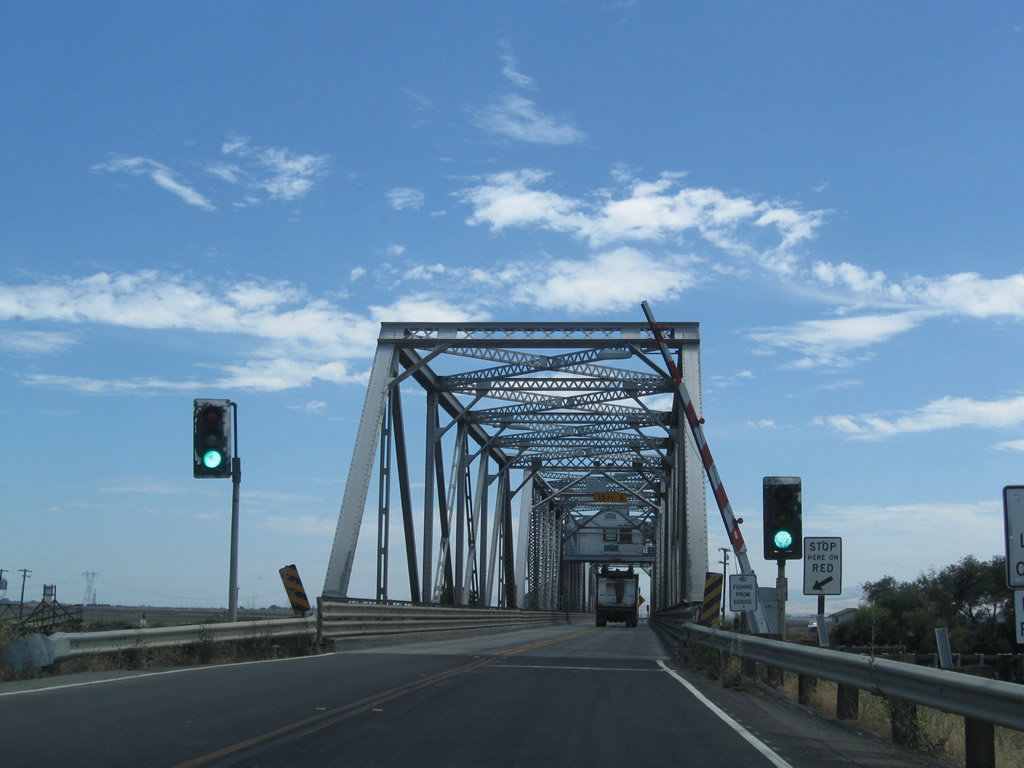
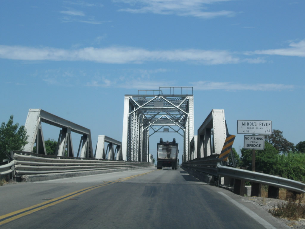
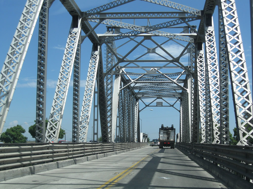
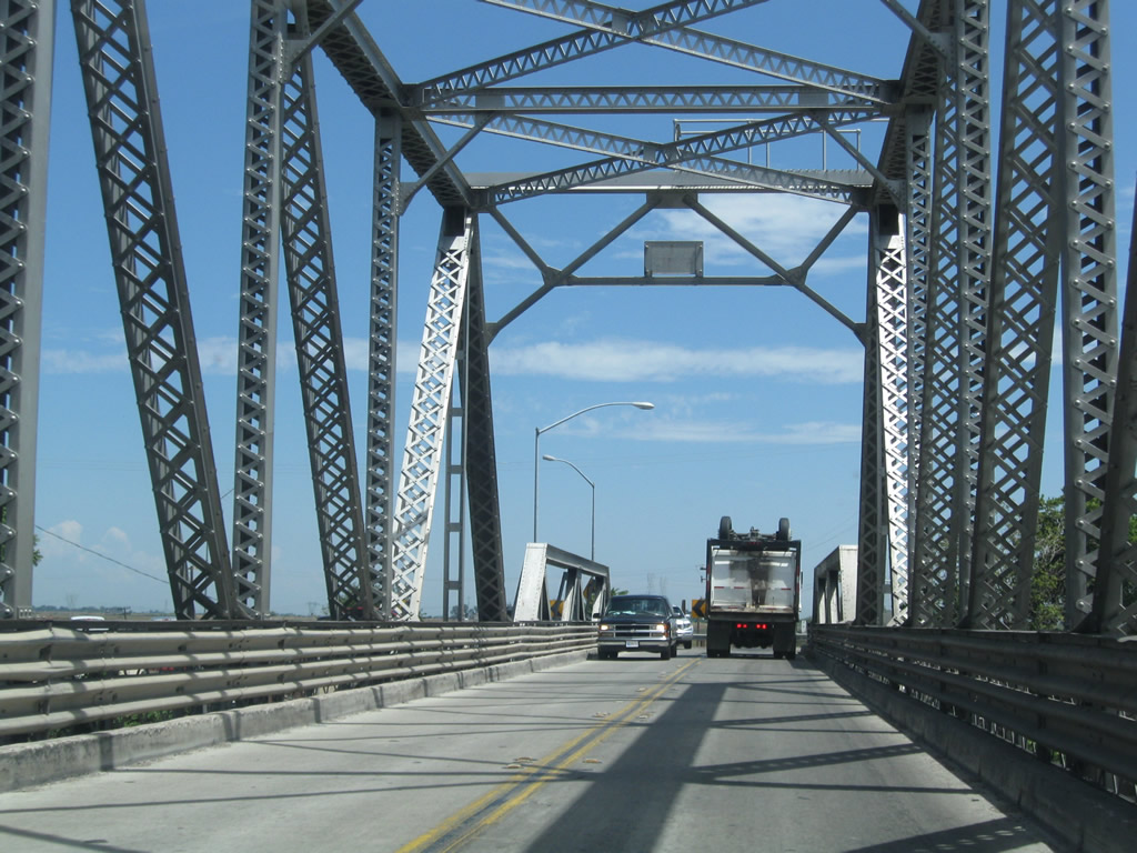
SR 4 spans the Middle River to Roberts Island on a 19.7-foot wide Howe Through Truss Bridge. The bridge is restricted to a single lane for larger trucks and buses.
07/18/09
The Middle River Bridge spans the river at a height of 19.7 feet with a length of 547 feet. The bridge opened in 1975.2
07/18/09
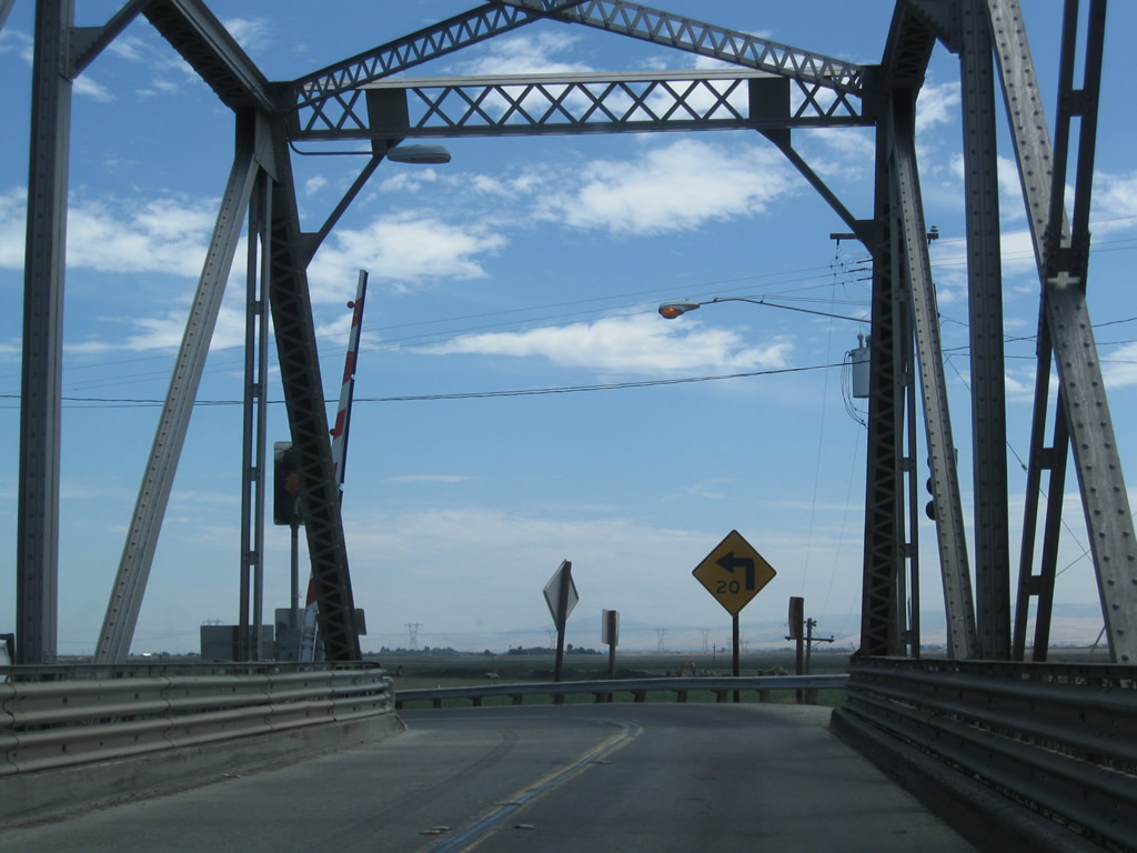
SR 4 navigates through a hairpin turn at the east end of the Middle River Bridge by Union Point Marina.
07/18/09
Farming and ranching are the main industries on Roberts Island.
07/18/09
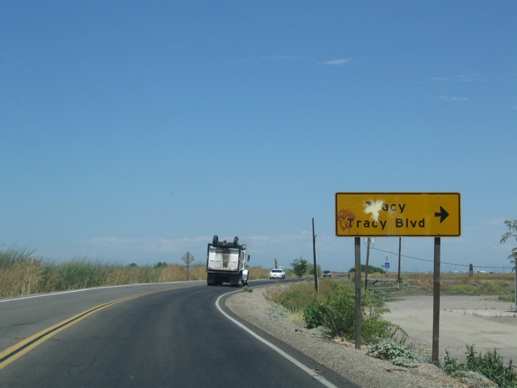
County Route J-2 stems south from SR 4 along Tracy Boulevard to Tracy and west to Livermore via Corral Hollow.
07/18/09
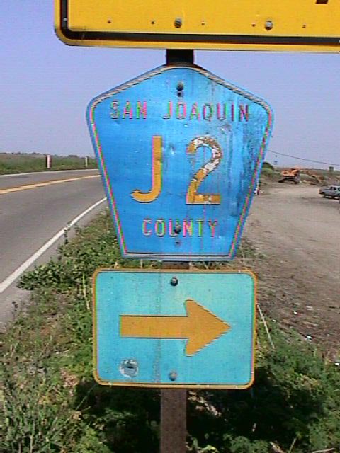
The lone pentagon acknowledging San Joaquin County Route J2 on SR 4 was removed by 2007. A small guide sign was installed in place of this assembly following completion of a widening project at Tracy Boulevard in 2012.
July 2001
Reassurance marker posted after CR J-2 (Tracy Boulevard) south on SR 4 east. California Delta Highway parallels Trapper Slough northeast.
07/18/09
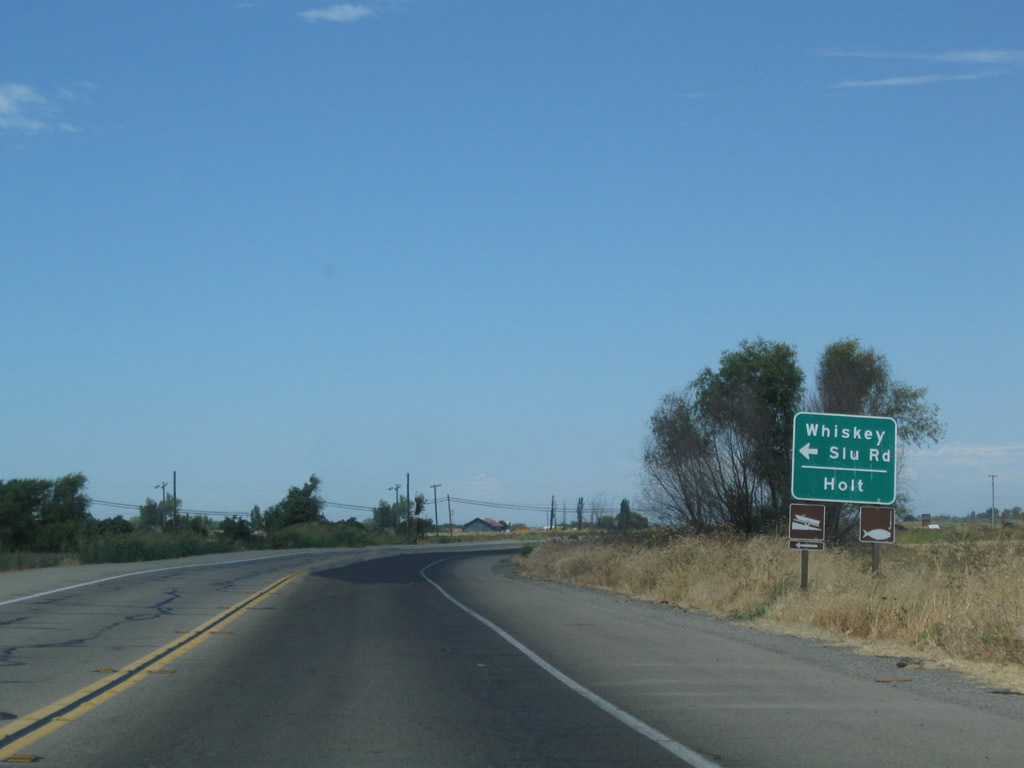
Whiskey Slu Road meanders north alongside Whiskey Slough to connect SR 4 with the settlement of Holt.
07/18/09
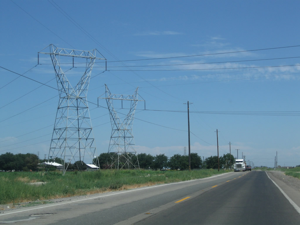
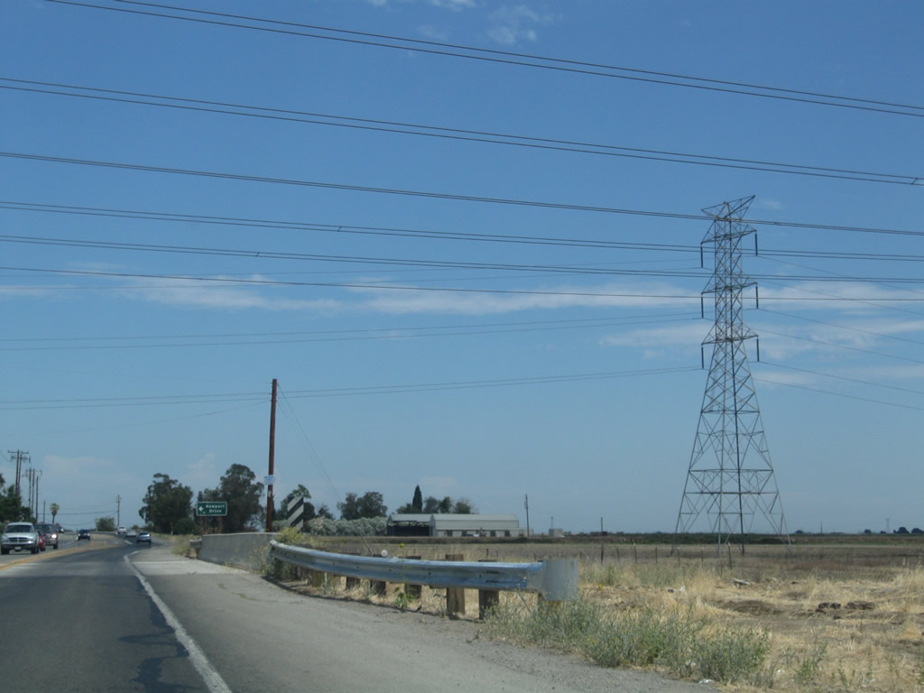
Another set of power lines crosses over SR 4. These lines originate in Sacramento and lead southwest to a power substation near Tracy.
07/18/09
A Pacific Gas & Electric (PG&E) power transmission line also crosses over SR 4 southwest toward Tracy.
07/18/09
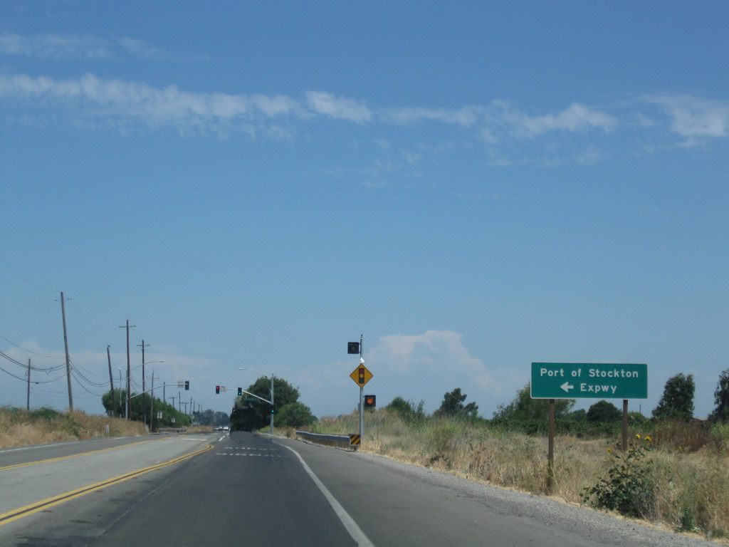
Port of Stockton Expressway travels north from SR 4 on Roberts Island to McCloy Avenue on Rough and Ready Island. Following completion of a new bridge over Burns Cutoff in 2007, Daggett Road north to the Port of Stockton was renamed to the expressway.
07/18/09
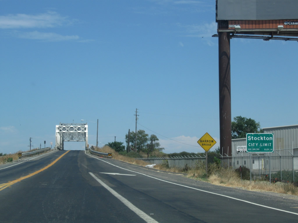
SR 4 enters the Stockton city limits at the eastern edge of Roberts Island. The seat of San Joaquin County, Stockton is a regional agricultural center and home to a major deep-water port.
07/18/09
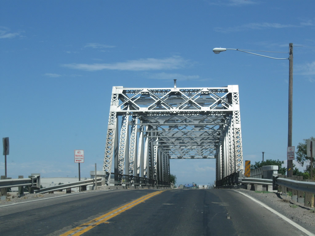
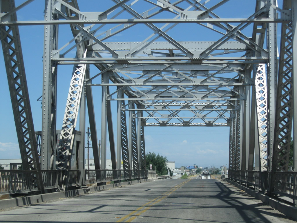
A 1933-built Howe Through truss bridge carries motorists on SR 4 across the San Joaquin River. The 302 foot long bridge accommodates two lanes on a 24 foot wide deck.3
07/18/09
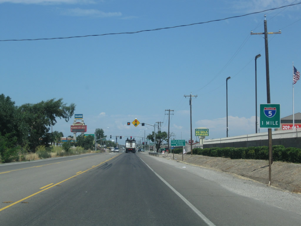
Passing through industrial areas south of the Port of Stockton, SR 4 (Charter Way) advances east one mile toward Interstate 5.
07/18/09
Fresno Avenue extends north from Houston Avenue and Van Buskirk Municipal Golf Course to a signalized intersection with SR 4. North from Charter Way, Fresno Avenue continues to the Port of Stockton east of Rough and Ready Island.
07/18/09
With the Crosstown (Ort J. Lofthus Freeway) Freeway unbuilt west onto Roberts Island, SR 4 overlaps northward along I-5 for three quarters of a mile from Charter Way. A diamond interchange joins the two routes.
07/18/09
Interstate 5 (West Side Freeway) travels south from Stockton to Lathrop and I-205 west into Tracy.
07/18/09
SR 4 east and I-5 combine northward to the Crosstown Freeway, where SR 4 east turns east through Downtown Stockton. Charter Way continues east as the former alignment of SR 4 to the San Joaquin County Fairgrounds and Mariposa Road.
07/18/09
Interstate 5 travels just west of the Stockton central business district northward to Sacramento.
07/18/09
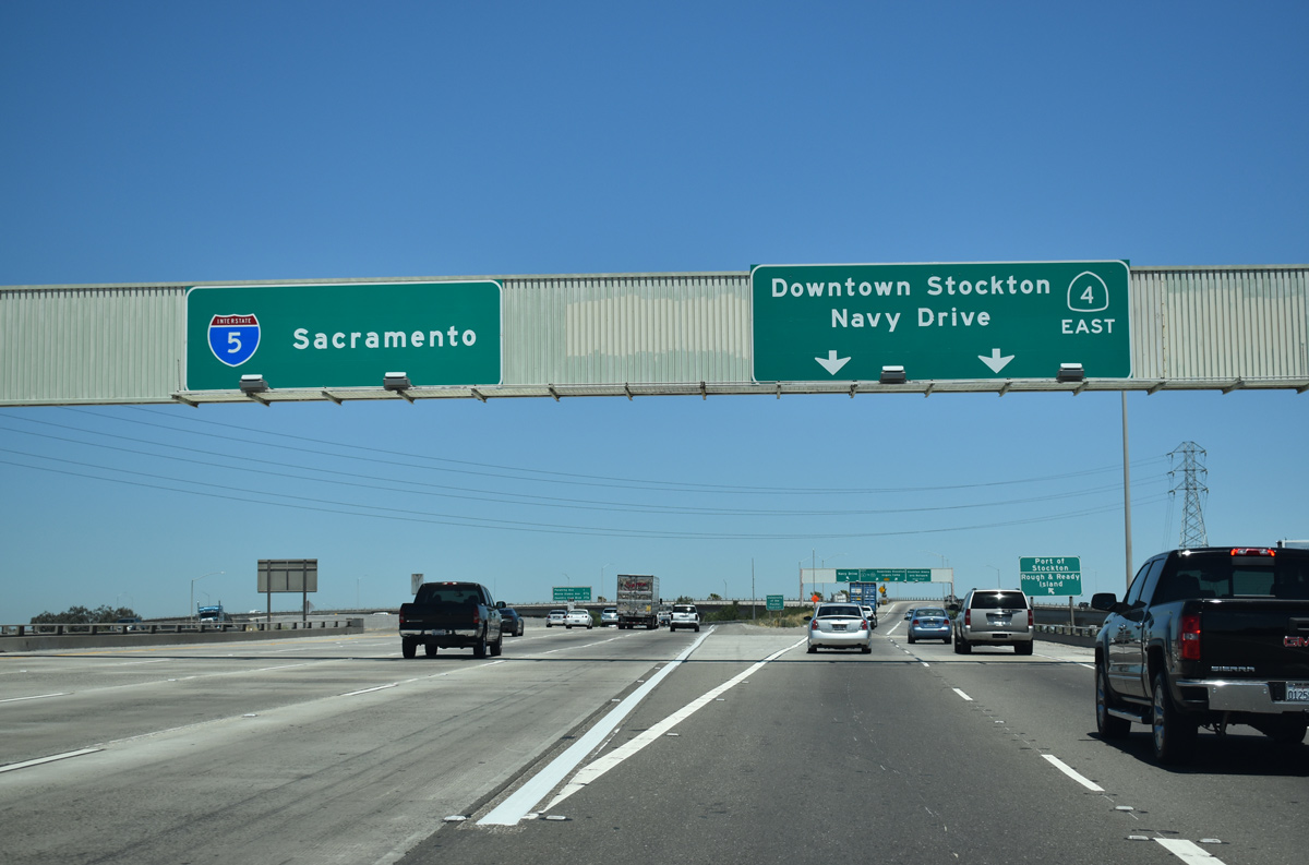
I-5 & SR 4 combine along a ten lane freeway, spanning both Anderson Street and a railroad line to an unnumbered systems interchange with the Crosstown (Ort. J. Lofthus Freeway).
07/10/18
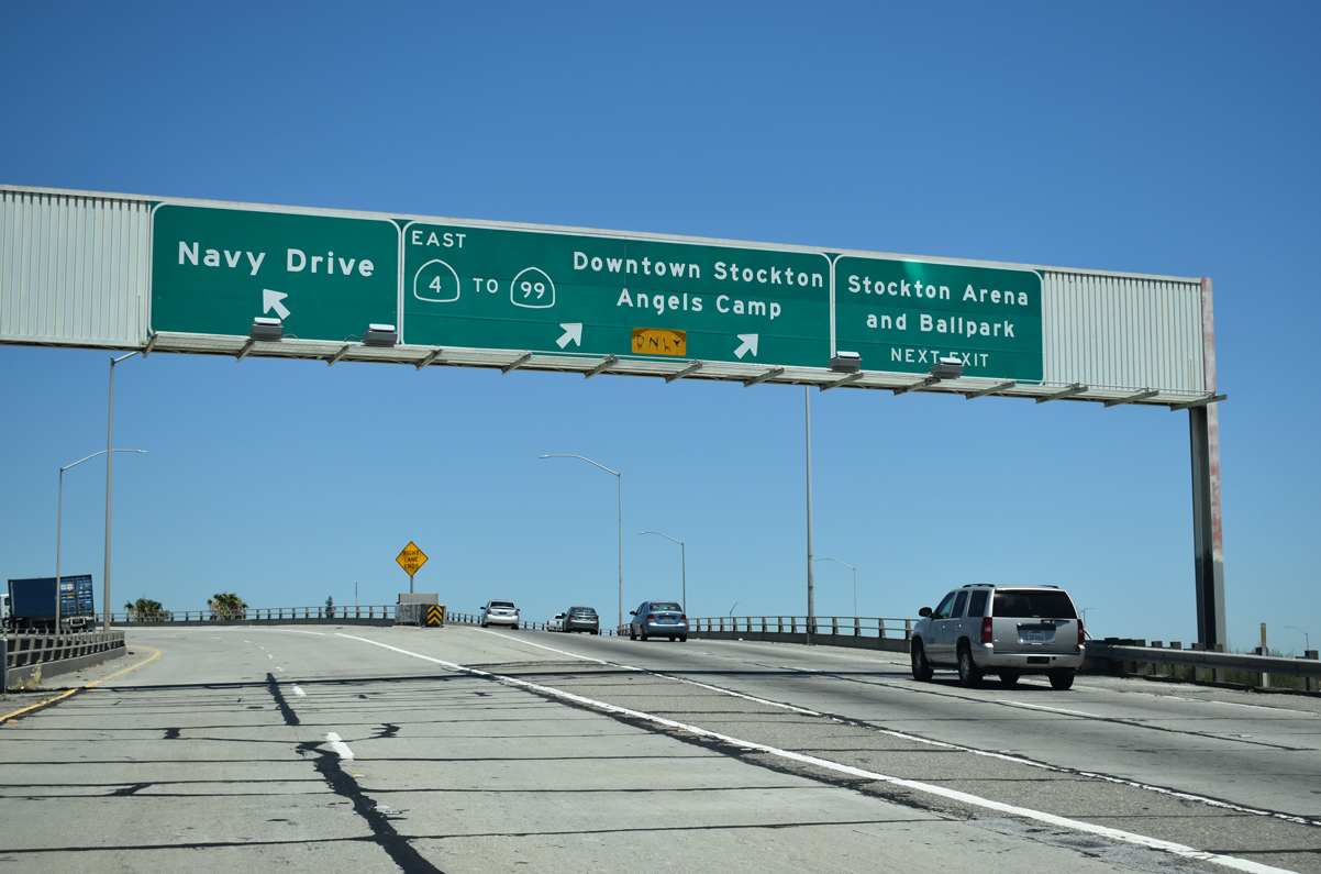
Traffic partitions for flyovers to the Crosstown Freeway west to Navy Drive and the continuation of SR 4 east to Downtown Stockton. The extension of the freeway west from Fresno Avenue to Navy Drive to the Port of Stockton was completed in December 2016.
07/10/18

References:
- Old River Bridge. http://bridgehunter.com/ca/san-joaquin/290045/ BridgeHunter.com.
- Middle River Bridge. http://bridgehunter.com/ca/san-joaquin/290049/ BridgeHunter.com.
- San Joaquin River Bridge. http://bridgehunter.com/ca/san-joaquin/290050/ BridgeHunter.com.
Photo Credits:
- Andy Field: 07/18/09
- Joel Windmiller: July 2001
- ABRoads: 07/10/18
Connect with:
Page Updated Thursday July 19, 2018.