
State Route 4 East - Stockton to Stanislaus County
 Crosstown (Ort. J. Lofthus) Freeway - East
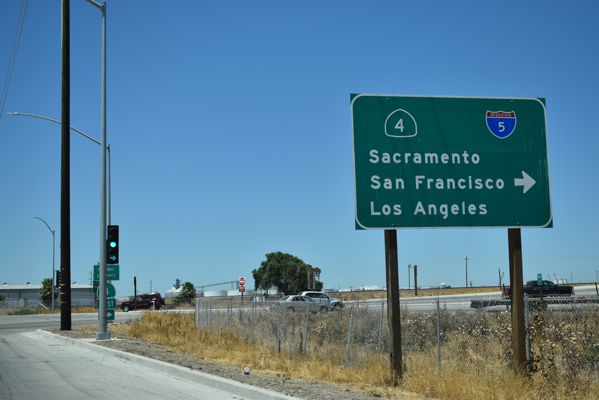
Westbound Navy Drive at the extension of the Crosstown (Ort J. Lofthus Freeway). The $140 million viaduct system spans the adjacent BNSF Railroad, connecting the Port of Stockton with Interstate 5 and Downtown Stockton.1
07/10/18
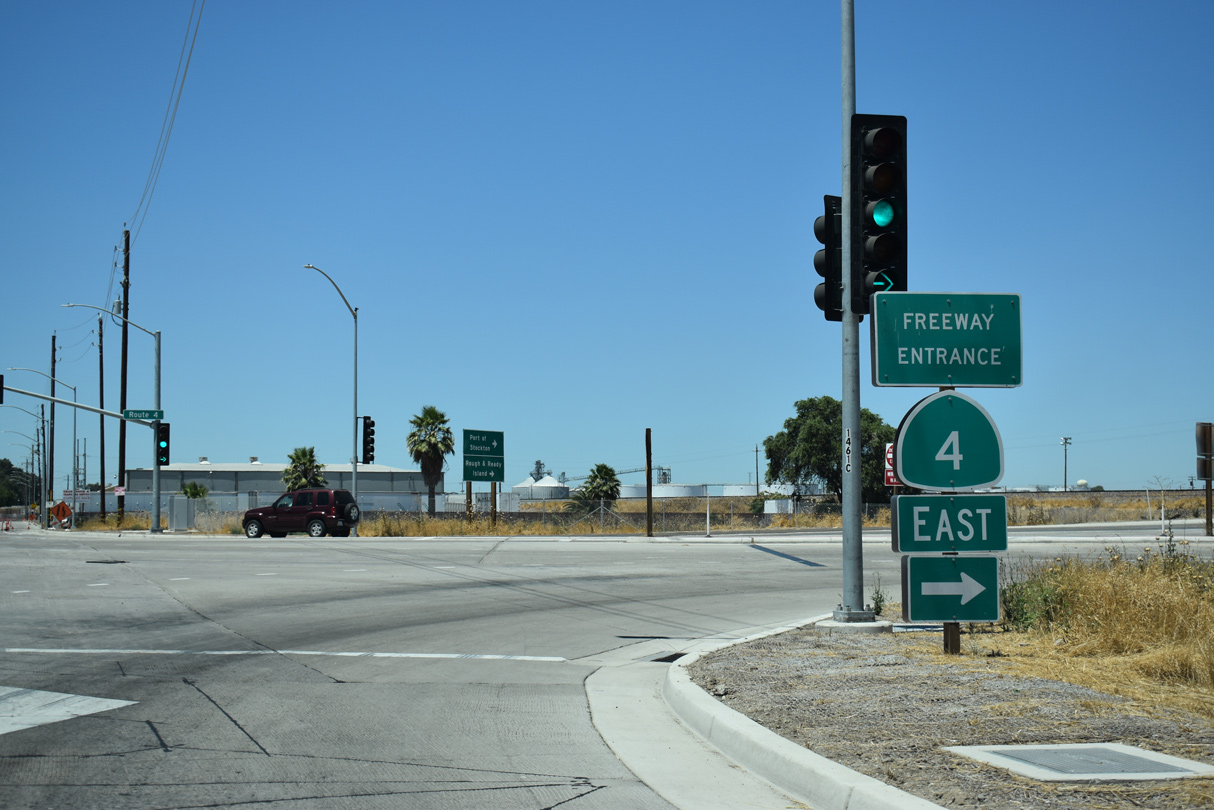
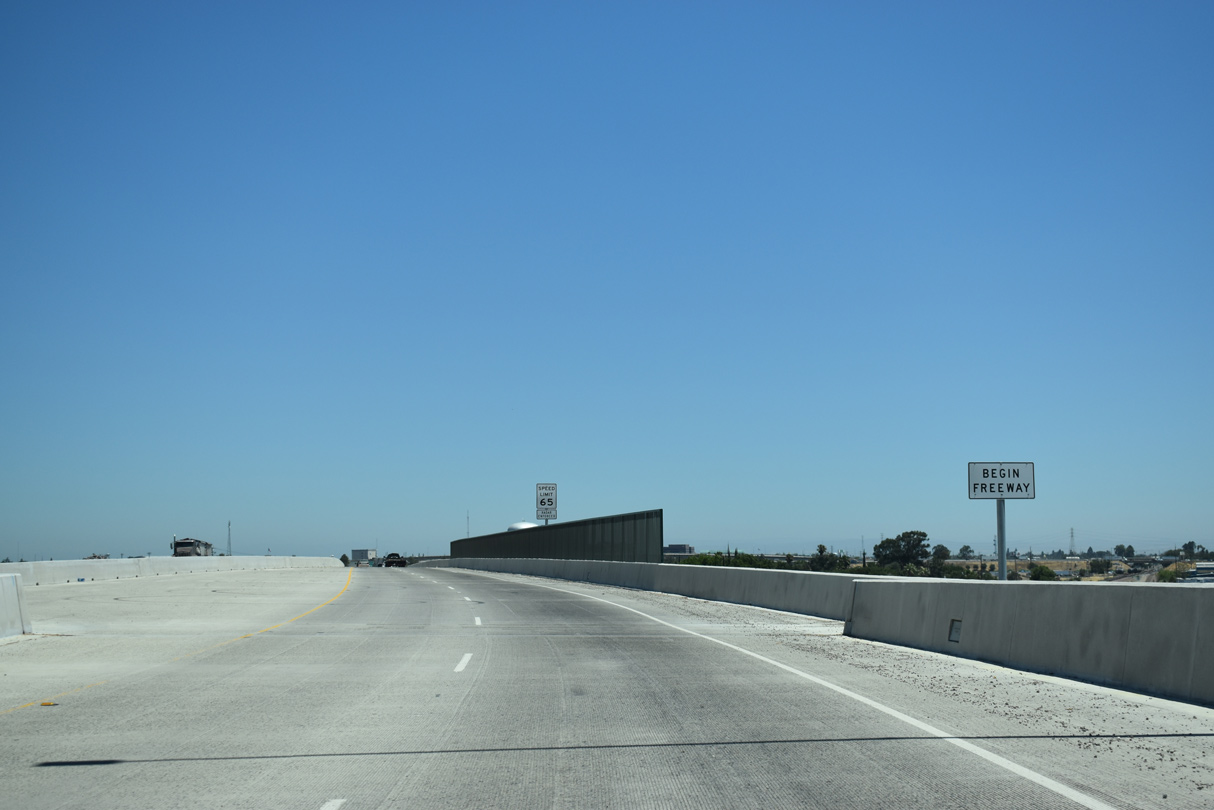
Construction on the State Route 4/Crosstown Freeway Ramp Extension Project commenced in April 2014. A ribbon cutting ceremony took place to marker the project completion on December 9, 2016.1 A segment of the freeway is postmiled for SR 4 with Temporary mileage.
07/10/18
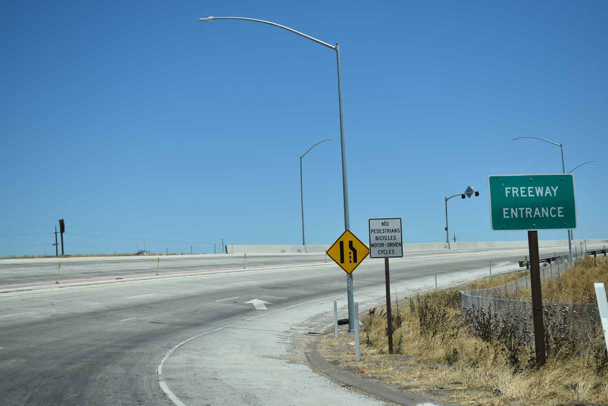
The Crosstown Freeway curves eastward from an at-grade intersection with Navy Drive and immediately ascends onto a viaduct spanning the BNSF Railroad and Scotts Avenue.
07/10/18
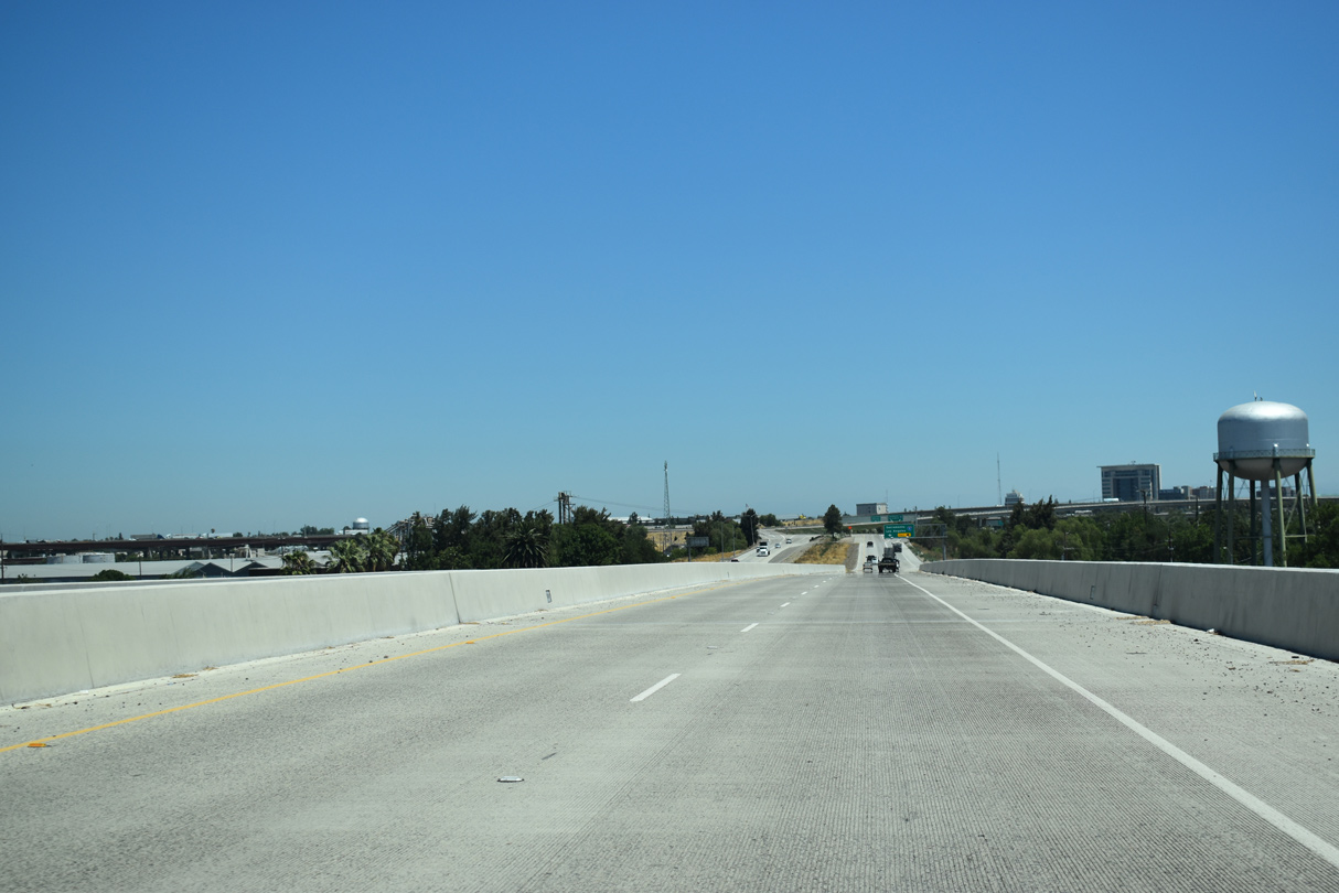
The viaduct system along the Crosstown Freeway extends east to Fresno Avenue above the Boggs Tract neighborhood of Stockton.
07/10/18
A half diamond interchange previously joined the temporary west end of the Crosstown Freeway with Fresno Avenue. The four-level exchange with Interstate 5 follows.
07/10/18
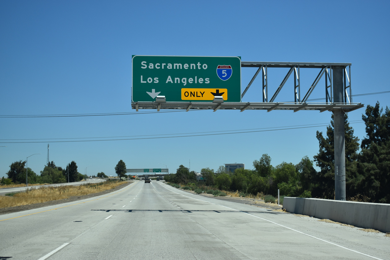
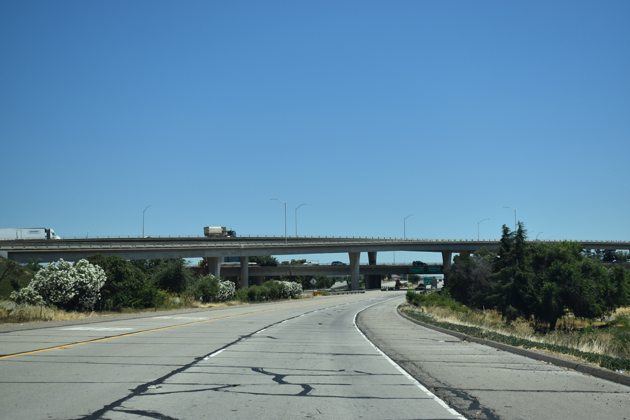
Exit 65 carries motorists headed to both I-5 north to Sacramento and south to Tracy and Los Angeles in unison from the Crosstown Freeway eastbound mainline.
07/10/18
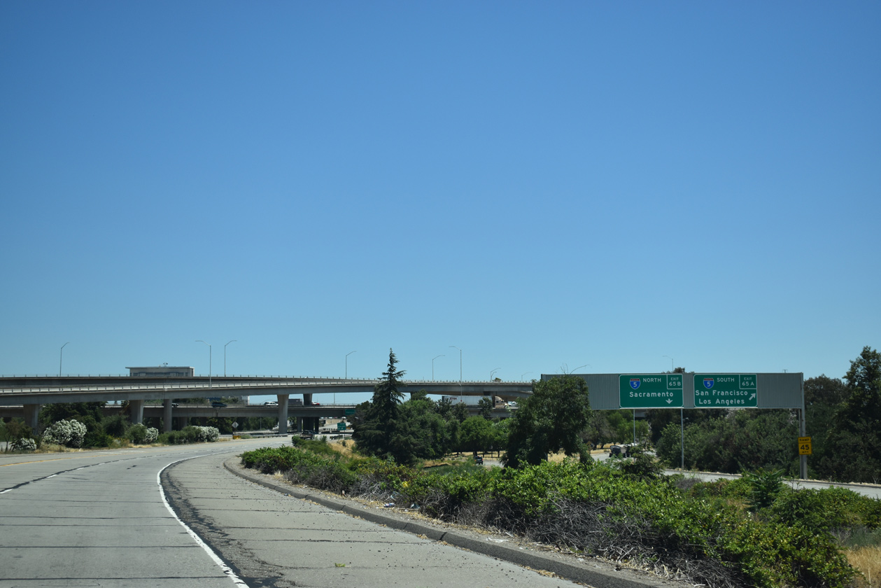
San Francisco appears at the split of Exits 65A/B for I-5 south to Interstate 205 west at Tracy.
07/10/18
The left lane is closed to traffic along the Crosstown Freeway eastbound through the symmetrical stack interchange with Interstate 5.
07/10/18
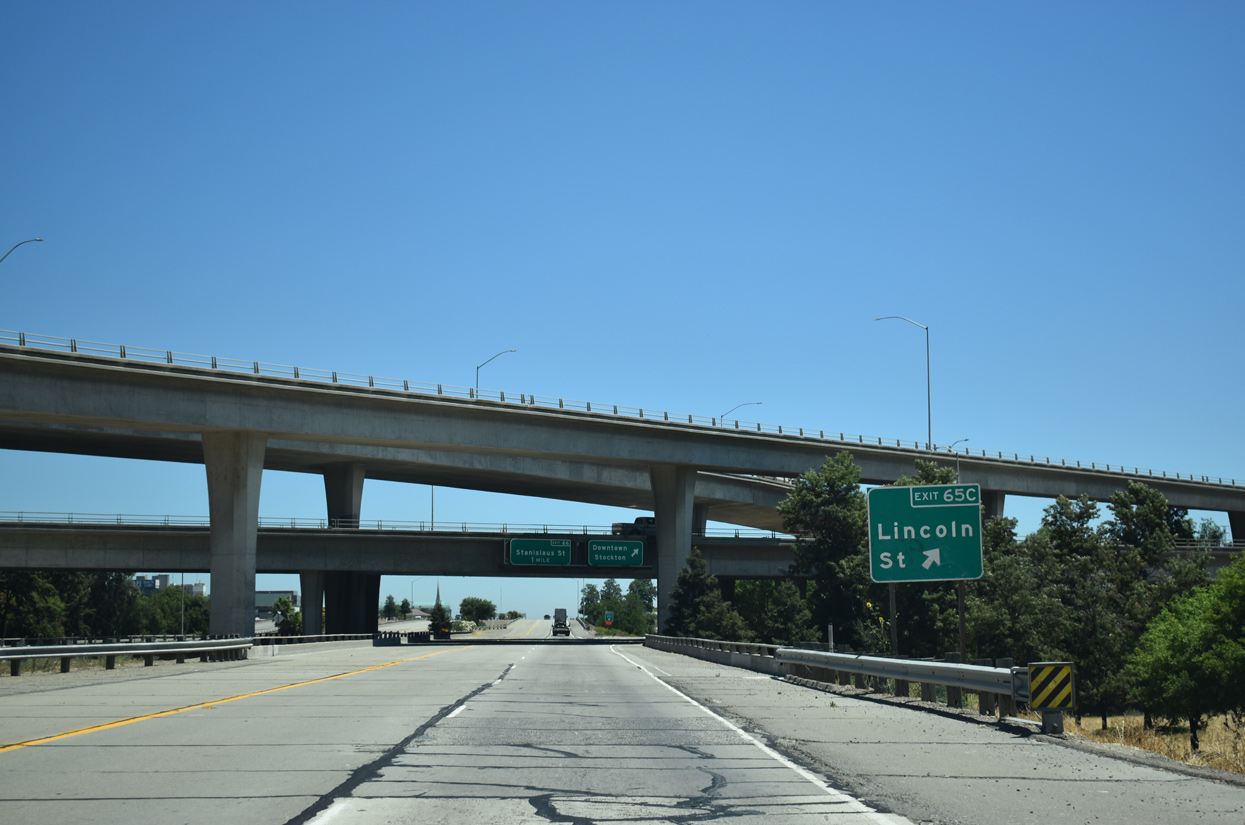
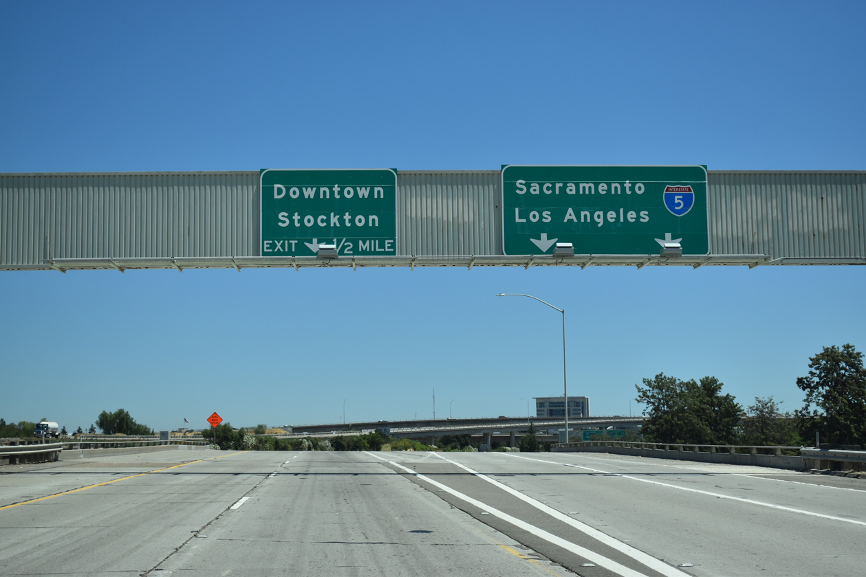
Exit 65C departs from within the systems interchange with I-5 to Lafayette Street at Lincoln Street and Downtown Stockton.
07/10/18

Lafayette Street forms the south side frontage road for SR 4 from Exit 65C and Lincoln Street to the entrance ramp at Wilson Way (Exit 67). This is the first of four exits for Stockton along eastbound.
07/10/18

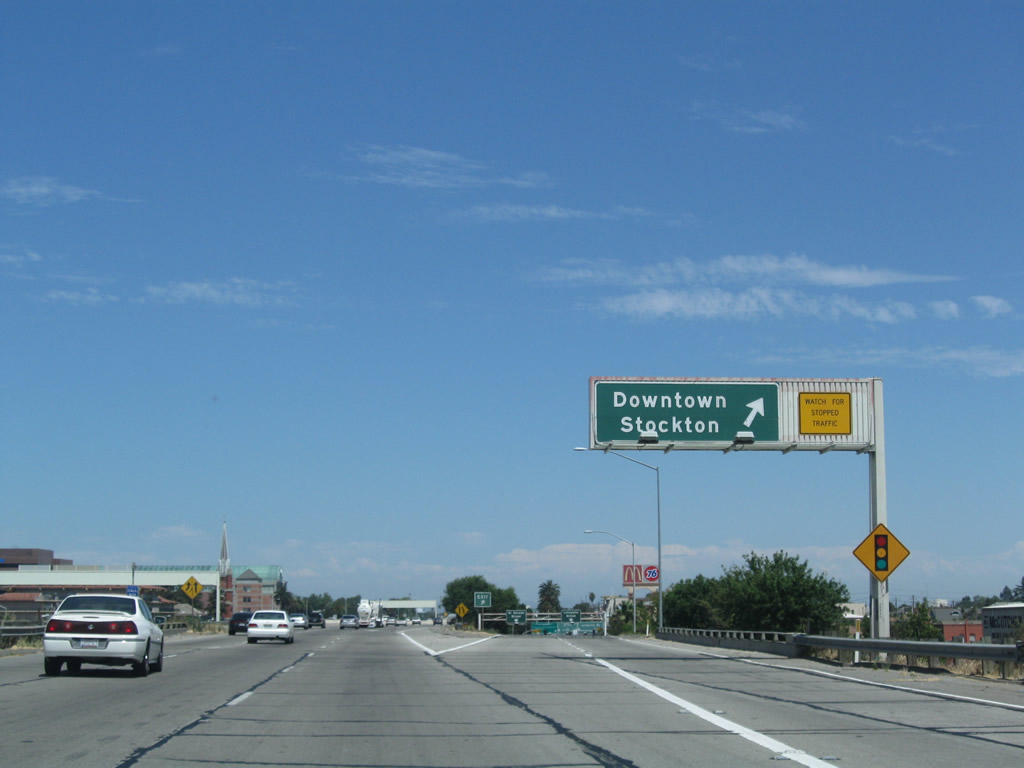
The SR 4 eastbound mainline joins the Crosstown (Ort. J. Lofthus Freeway) east just beyond a separate ramp to Lafayette Street at Center / El Dorado Streets.
04/03/05
The unnumbered ramp from SR 4 east to Downtown Stockton departs for the couplet of Center Street south and El Dorado Street to Downtown Stockton, Stockton Arena and Banner Island Ballpark.
07/18/09
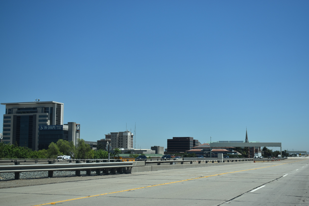
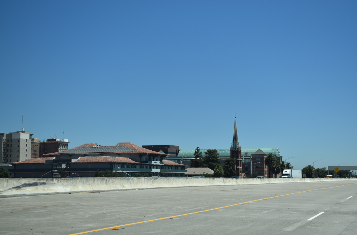
The elevated Crosstown Freeway widens to four eastbound lanes to Exit 66 for Stanislaus Street. Downtown Stockton lines the northern side of SR 4 over the ensuing eight blocks.
07/10/18

A diamond interchange (Exit 66) links SR 4 with Stanislaus Street to the east side of Downtown Stockton.
07/10/18
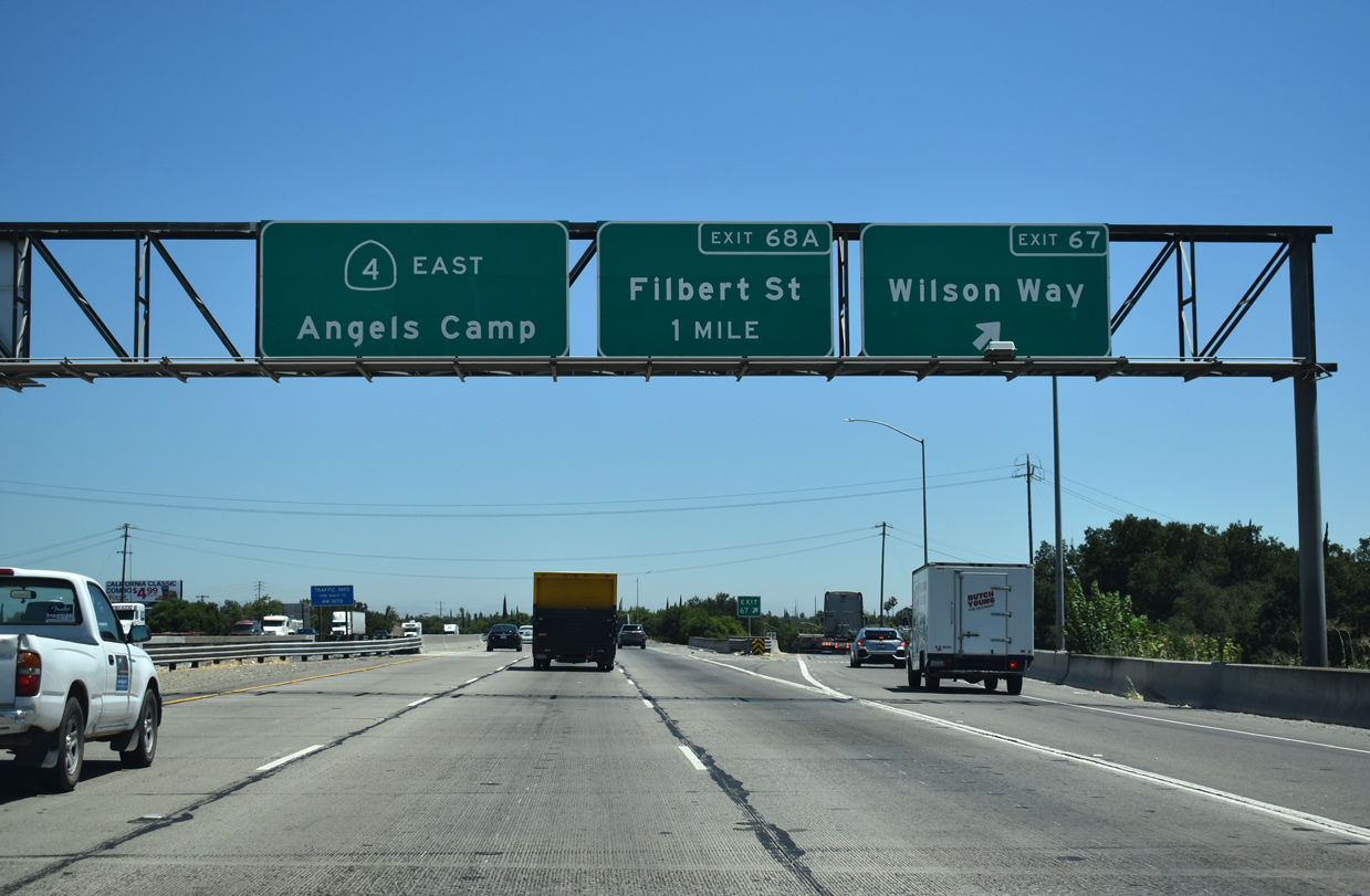
Wilson Way crosses paths with SR 4 at a split diamond interchange (Exit 67) next. Wilson Way north from Charter Way and the San Joaquin County Fairgrounds is the historic alignment of U.S. 50 and 99.
07/10/18
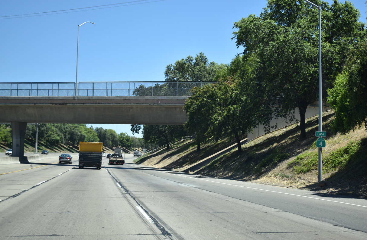
SR 4 (Crosstown Freeway) lowers to grade level through an S-curve below Main Street and a pedestrian overpass at B Street.
07/10/18
Exit 68A leaves SR 4 east for adjacent Market Street to Filbert Street and Stockton's Fair Oaks neighborhood. Three lanes otherwise continue to the SR 99 freeway (Exit 68B).
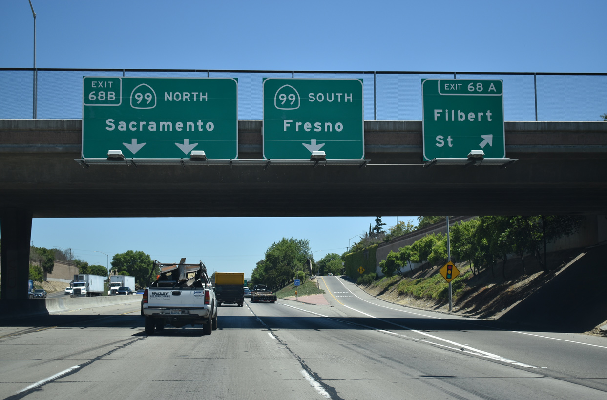
07/10/18
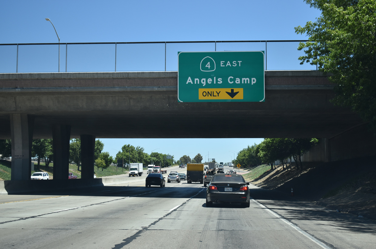
SR 4 east combines with SR 99 south for one mile to continue east toward Farmington and Angels Camp. The directional T interchange between the two freeways at Exit 68B was completed in 1993.
07/10/18
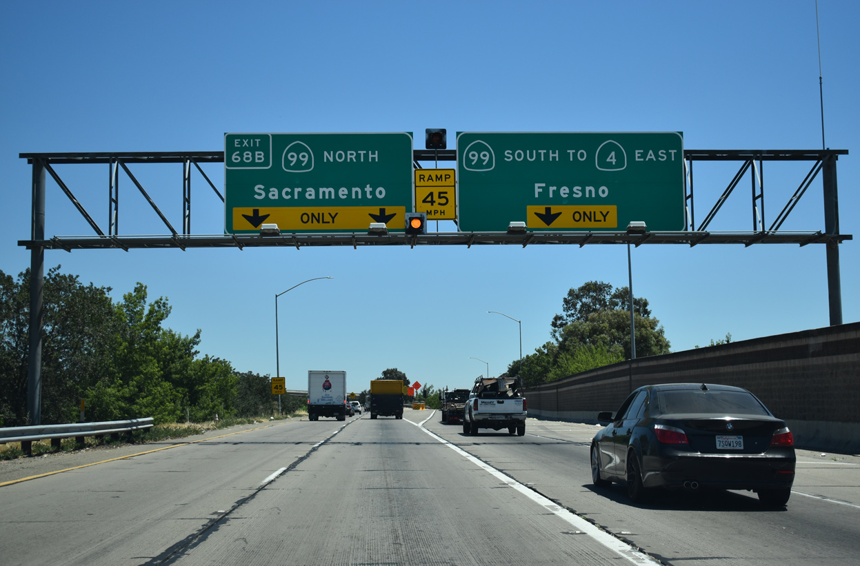
Exit 68B is the two lane flyover connecting with SR 99 north to nearby SR 26 (Fremont Street) and Sacramento. SR 99 is a full freeway between the capital city and I-5 at southern reaches of the Central Valley.
07/10/18
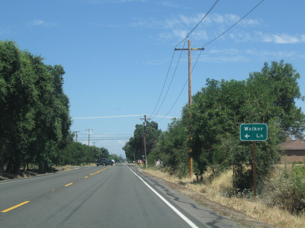
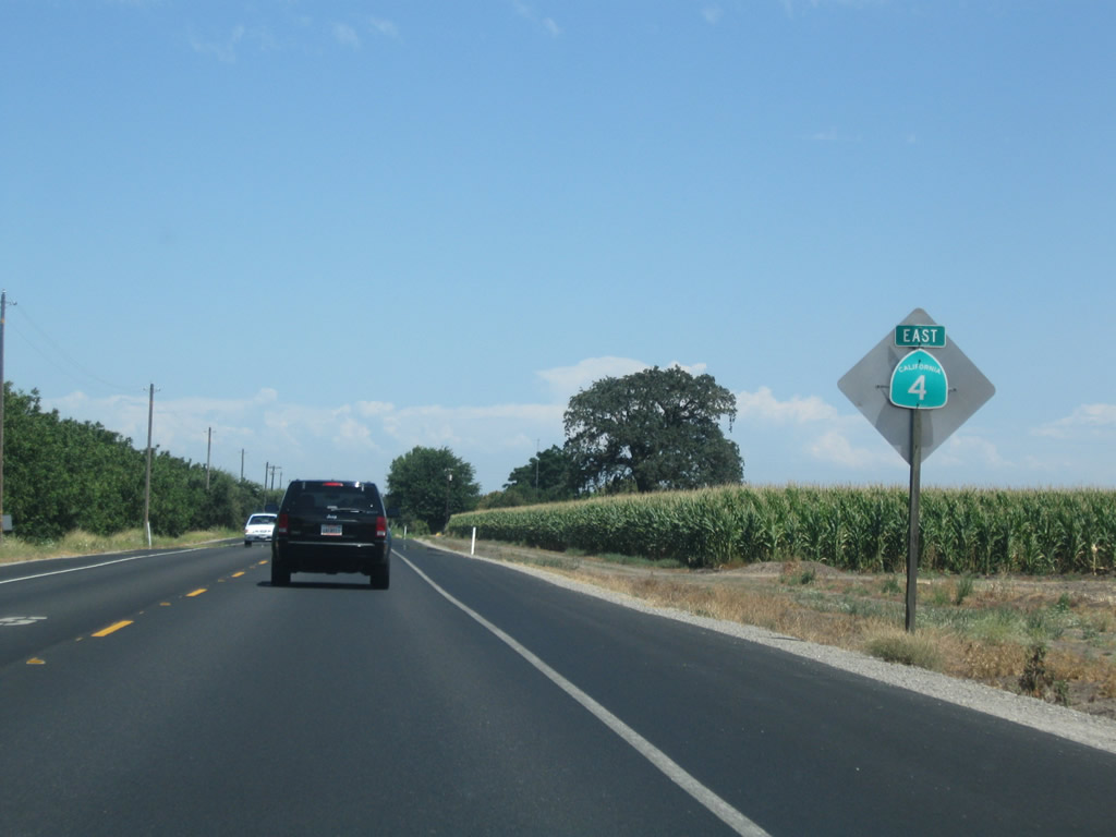
SR 4 curves southeast from a folded diamond interchange (Exit 252B) with SR 99 along Golden Gate Avenue to Farmington Road. The new exchange with the freeway was completed in summer 2015. Farmington Road leaves the Stockton street grid between open farm land and orchards ahead of Walker Lane.
07/18/09
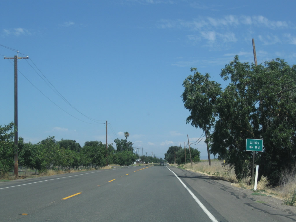
Passing between several orchard stands, Gillis Road links SR 4 (Farmington Road) with Main Street to the north.
07/18/09
SR 4 (Farmington Road) shifts southward through an S-curve and crosses Duck Creek on the rural drive between Stockton and Farmington.
07/18/09
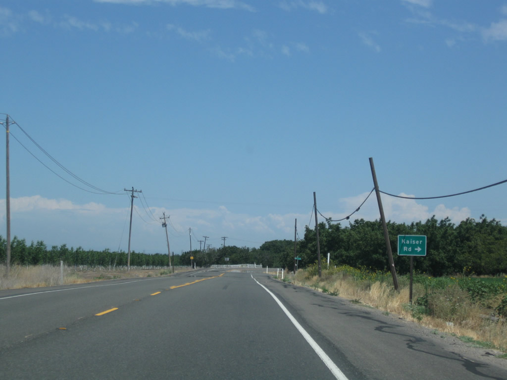
Kaiser Road stems south from SR 4 (Farmington Road) to Mariposa Road near the Mariposa Yard, Stockton Intermodal Facility.
07/18/09
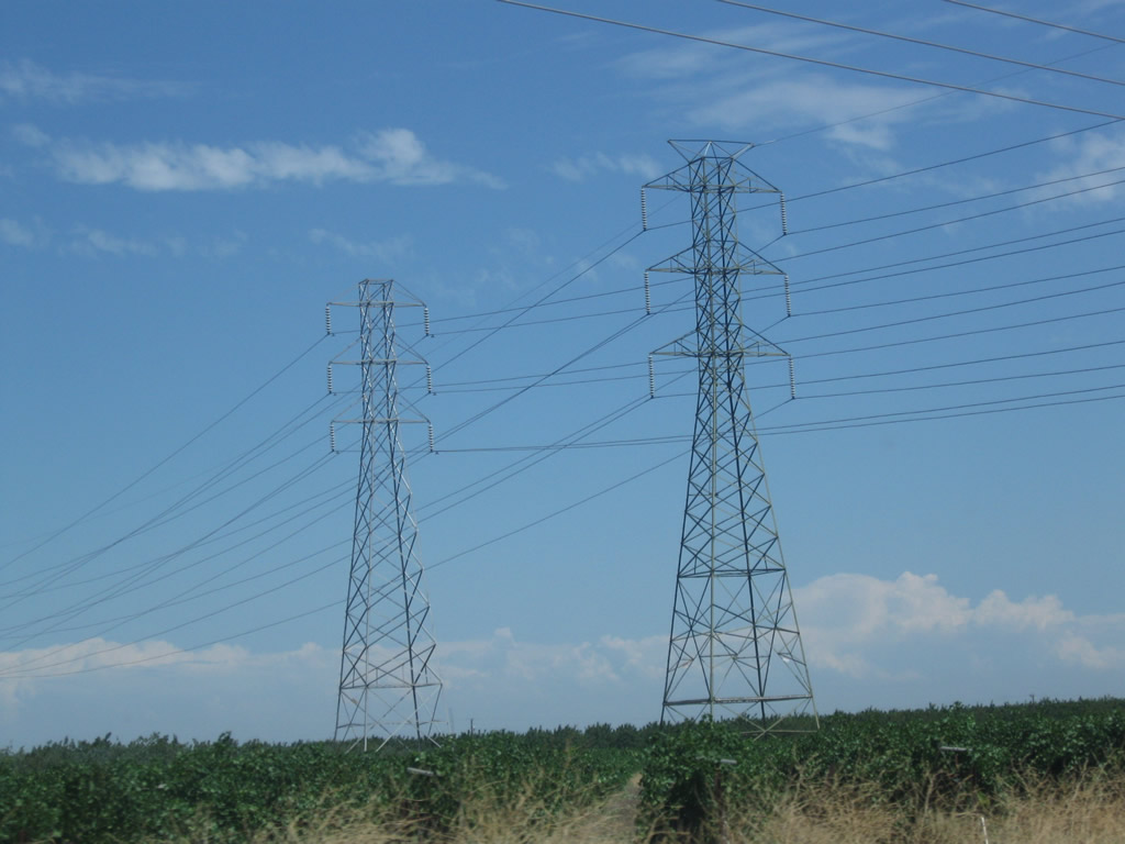
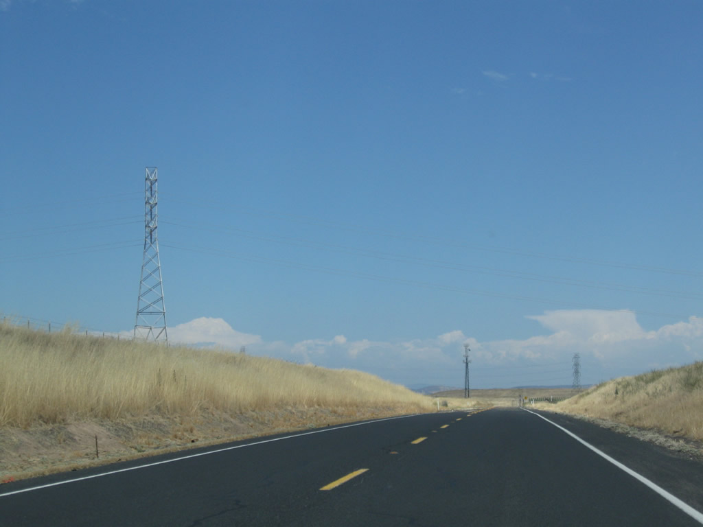
A set of Pacific Gas & Electric 230kV power lines pass over Farmington Road as SR 4 angles southeast between Kaiser and Jack Tone Roads.
07/18/09
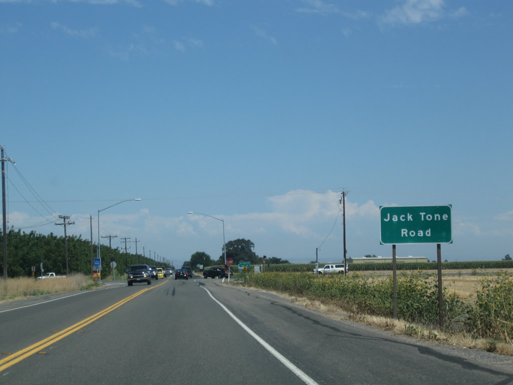
Jack Stone Road (San Joaquin County Route J-5) crosses paths with SR 4 north from the settlement of Collegeville
07/18/09
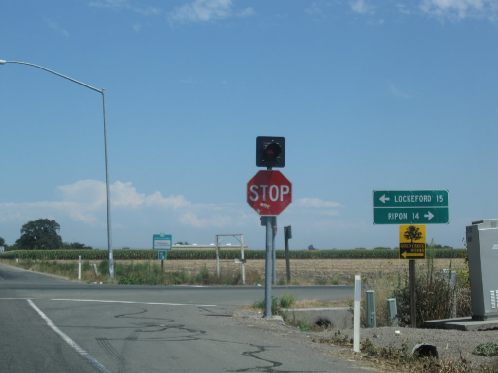
County Route J-5 begins at SR 99 in Ripon and extends almost due north to its end at SR 104 in Clay.
07/18/09
A SR 4 east reassurance shield is posted after CR J-5 (Jack Tone Road).
07/18/09
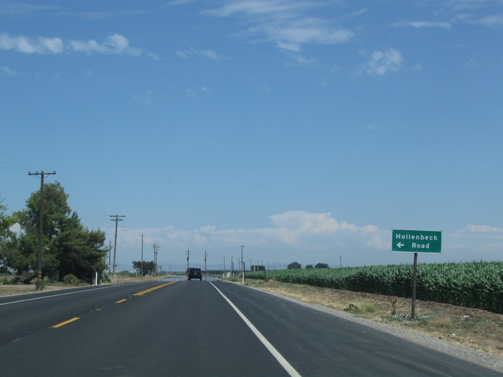
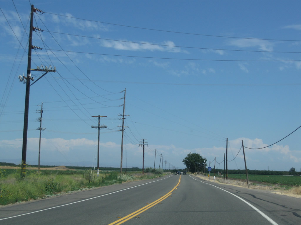
Eastbound SR 4 (Farmington Road) approaches Hollenbeck Road, then proceeds through more farms and orchards.
07/18/09

The next marked intersection along SR 4 (Farmington Road) east is with Drais Avenue north.
07/18/09
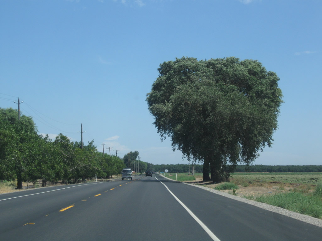
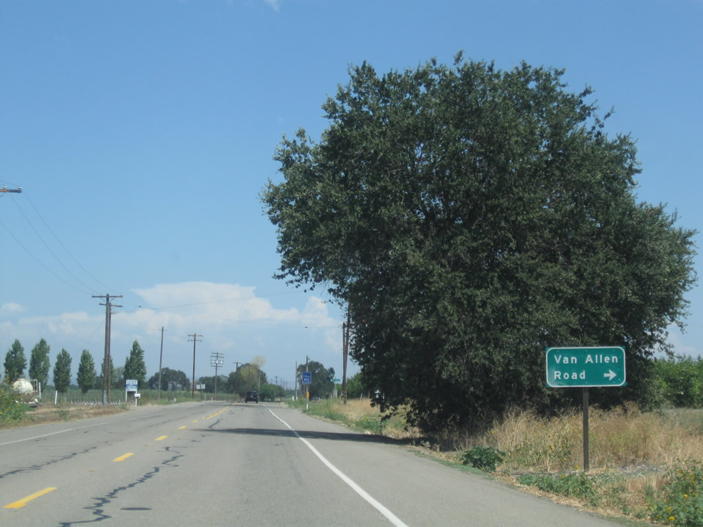
Farmington Road continues east from Drais Road to Van Allen Road, paralleling Duck Creek south by several orchard stands.
07/18/09
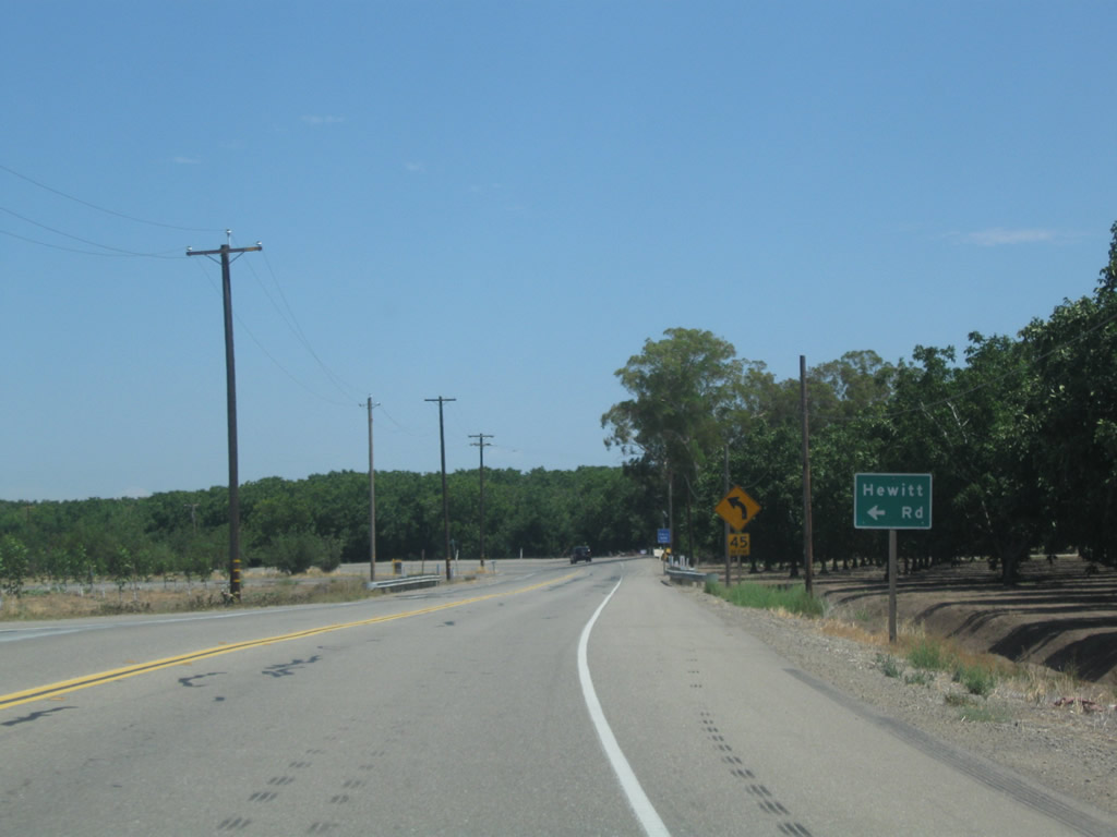
Farmington Road makes another S-curve southward as it intersects Hewitt Road north.
07/18/09
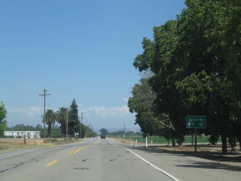
Stanley Road spurs south to additional orchards, 1.5 miles west from Farmington on SR 4 eastbound.
07/18/09
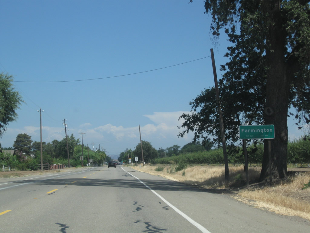
SR 4 (Farmington Road) east enters the unincorporated community of Farmington. The rural settlement of around 200 sits at an elevation of 112 feet.
07/18/09
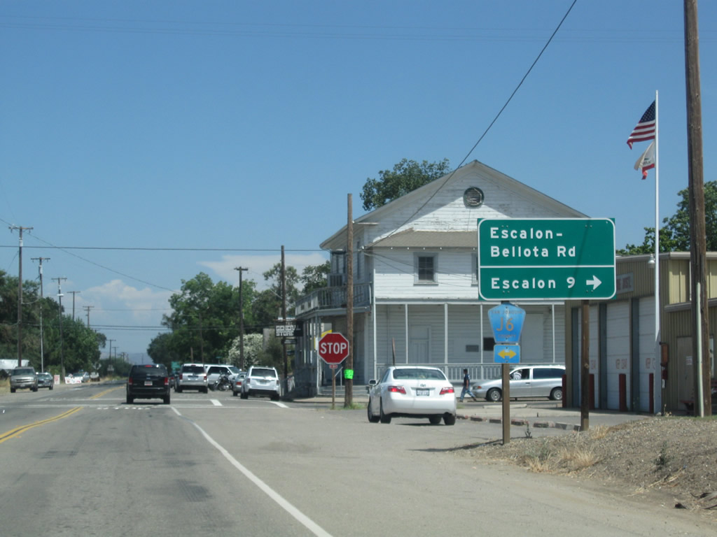
County Route J-6 (Escalon-Bellota Road) travels north from Farmington to Bellota at SR 26. South from SR 4, the county route heads nine miles to Escalon at SR 120, and beyond there to McHenry at SR 108 / 219.
07/18/09
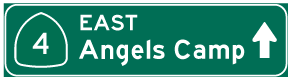
Leaving Farmington, SR 4 advances 23 miles to Copperopolis and 36 miles to Angels Camp. Markleeville lies 120 miles to the east.
07/18/09
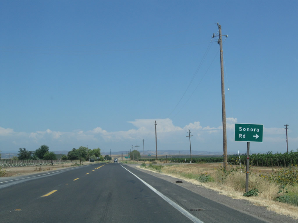
Sonora Road branches southeast from SR 4 toward Eugene and Knights Ferry (with a detour around the Farmington Flood Control Basin via Henry Road and Carter Road). At Knights Ferry is a covered bridge, and the connection to the city of Sonora is via SR 108-120 east
07/18/09
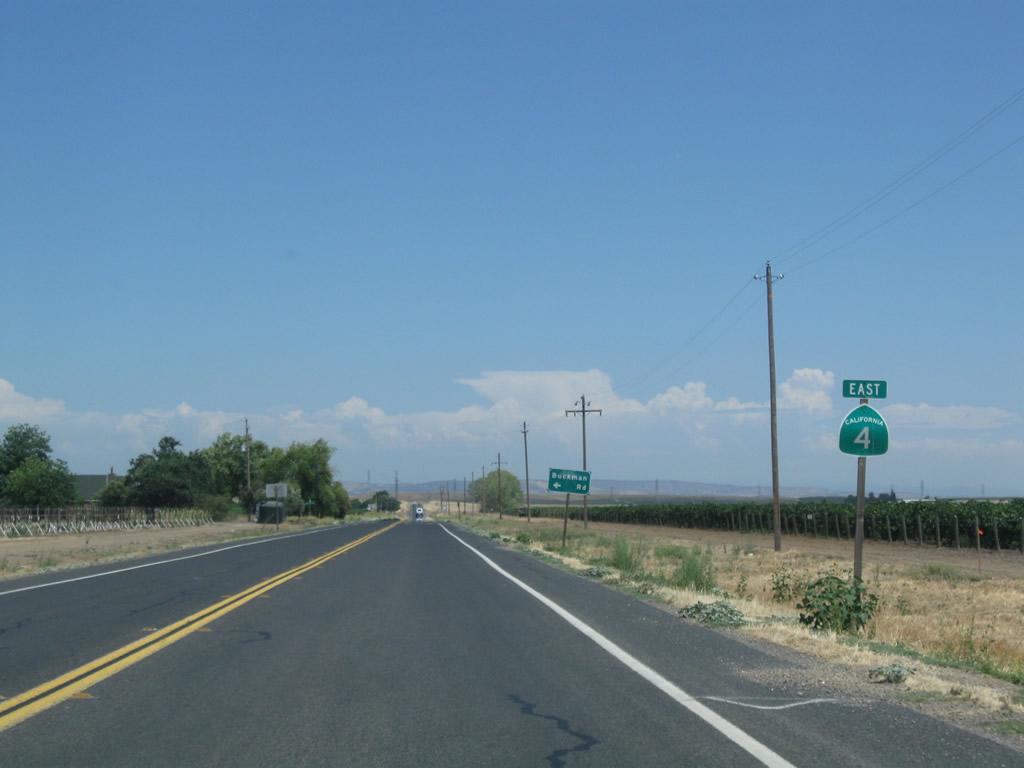
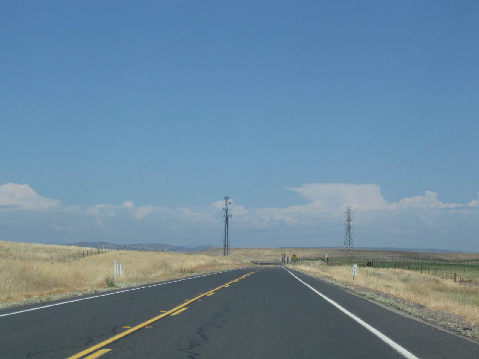
A reassurance marker stands between Sonora Road south and Buckman Road north. The Sierra Nevada foothills come into view, along with some distant thunderheads for storms brewing in the Eastern Sierra (California and Nevada).
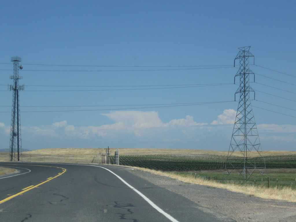
07/18/09
Two sets of Pacific Gas & Electric power lines cross over SR 4 in the vicinity of postmile 35.50. The state route dog legs north one mile to Waverly Road.
07/18/09
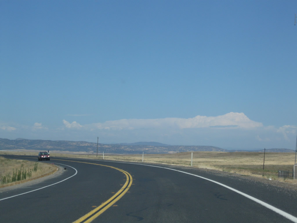
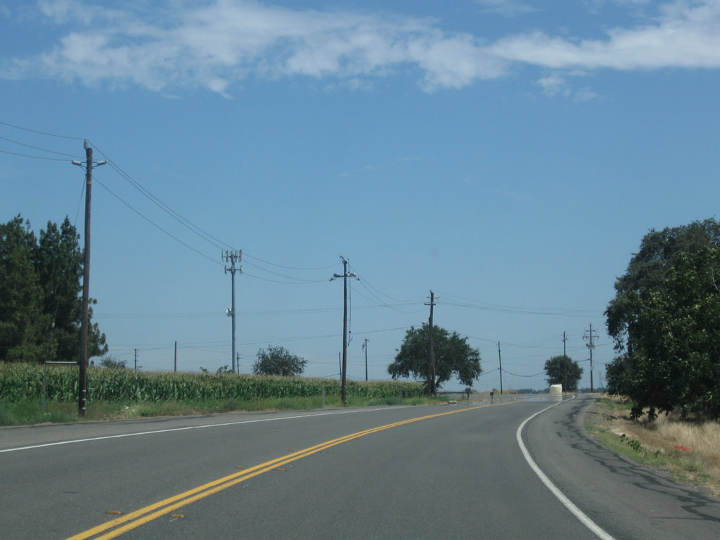
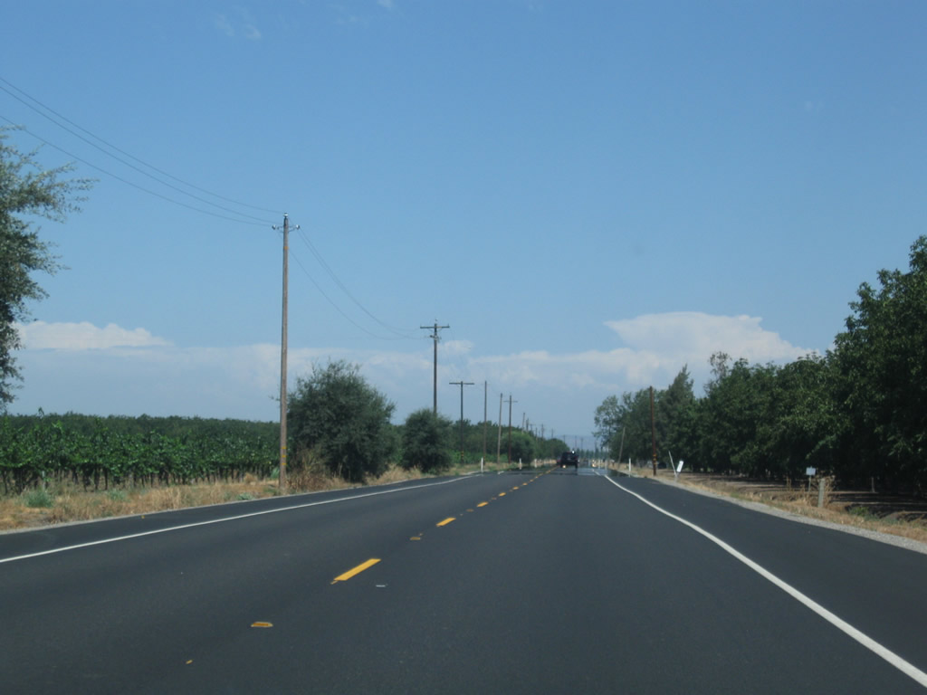
Less farming and more ranching becomes prevalent as SR 4 gains elevation and leaves the most fertile areas of the Central Valley, especially close to the San Joaquin River.
07/18/09
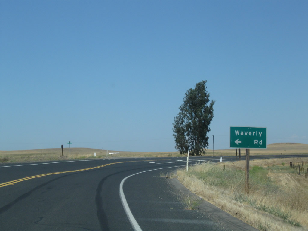
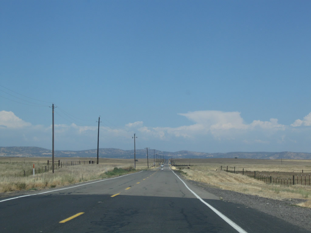
Waverly Road branches north to ranch areas and the Foothill Sanitary Land Fill from SR 4 as the state route resumes an eastern heading toward Bachelor Valley.
07/18/09
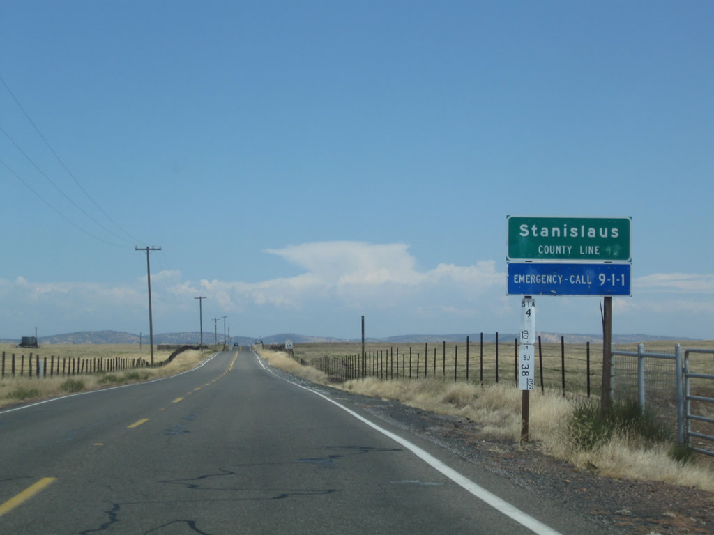
SR 4 crosses into the northern wedge of Stanislaus County one mile east of Waverly Road.
07/18/09
References:
- SR-4 Crosstown Freeway. San Joaquin Council of Governments, project web page.
Photo Credits:
- ABRoads: 07/10/18
- AARoads: 04/03/05
- Andy Field: 07/18/09
Connect with:
Page Updated Thursday July 19, 2018.