
State Route 35
California 35 is Skyline Boulevard, which starts at California 17 near the Santa Cruz-Santa Clara County and continues north along the crest of the Santa Cruz Mountains in a northwesterly trajectory until it reaches the San Francisco Watershed unit of the Golden Gate National Recreation Area near the Crystal Springs Reservoirs. From there, California 35, merges onto California 92 and Interstate 280 northbound, then reaches the Pacific Coast. Once in the city of San Francisco, California 35 turns east to meet its end at California 1 (19th Avenue).
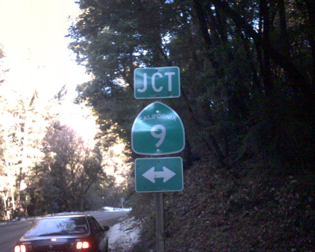
SR 35 confirming marker posted north of SR 9. This shield was removed by 2011.
12/27/01
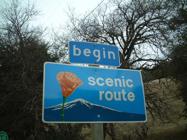
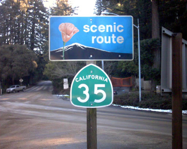
The sign assembly marking the start of the scenic route along SR 35 northbound after SR 9 was removed by 2011.
12/27/01
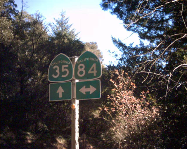
SR 35 (Skyline Boulevard) north converges with SR 84 (La Honda Road) at the unincorporated community of Sky Londa.
2002
This SR 35 scenic route sign assembly posted south at SR 84 was removed by 2011.
2002
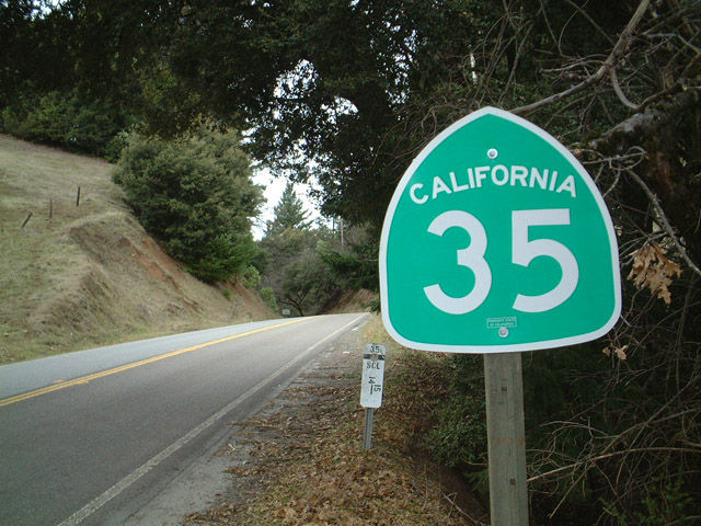
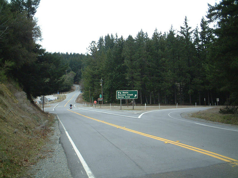
SR 35 (Skyline Boulevard) south ahead of SR 9 (Big Basin Way) at Saratoga Gap.
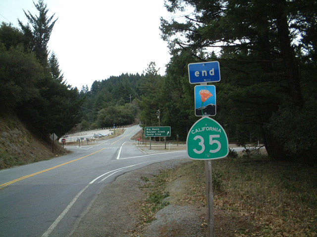
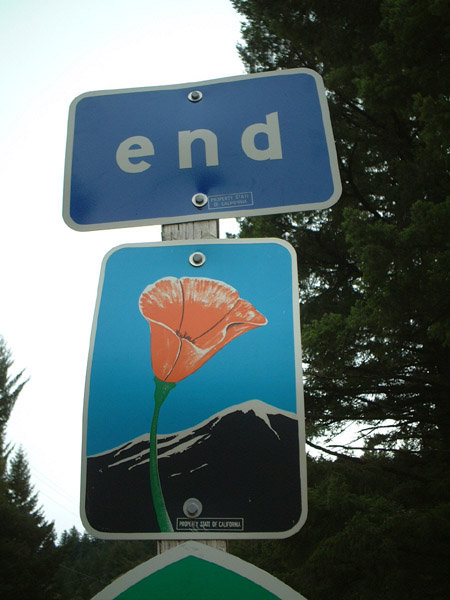
Scenic route end signage was formerly posted along Skyline Boulevard south at SR 9. It was removed by 2011.
12/27/01
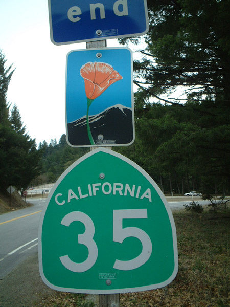
SR 35 south at SR 9 (Big Basin Way).
12/27/01
Photo Credits:
- Andy Field: 12/27/01
- Trevor Carrier: 2002
Connect with:
Page Updated Sunday September 08, 2002.